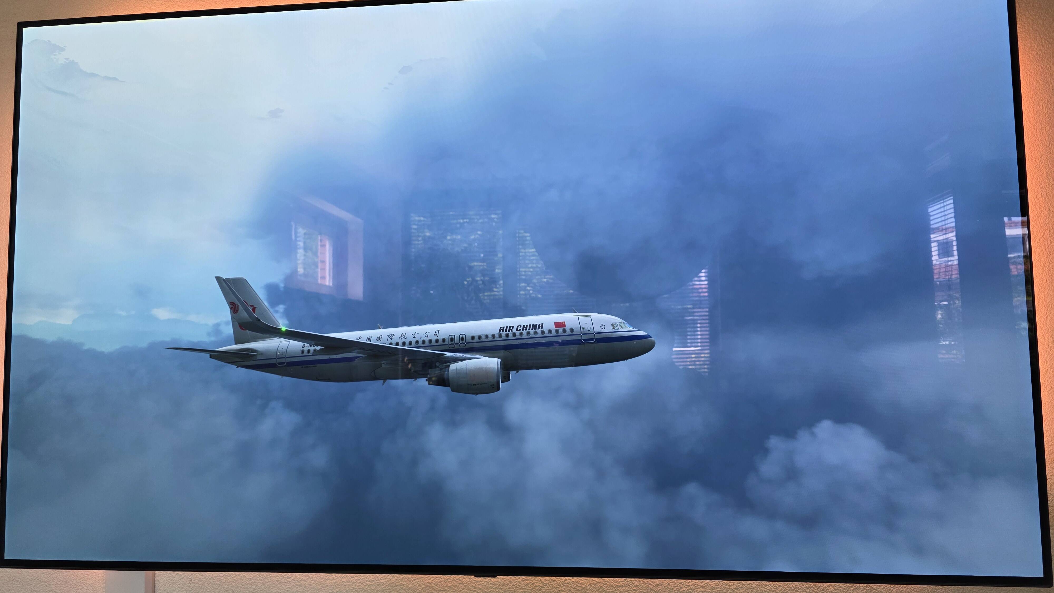
Just a reminder, how clouds looked like in P3D

6 Likes
Clouds in P3D were created using a completely different technique than MSFS, using 2D textures.
2 Likes
I know that,so why not improve this technique or even implant it?
2D textures can look reasonably good from the cockpit, but when seen from an external view, their 2D nature becomes apparent. They are seen as “flat billboards” that rotate to always face the aircraft.
I don’t think there is any way that MSFS or any other modern simulator would ever go back to using canned textures for cloudscapes. MSFS and X-Plane both use dynamically generated volumetric clouds. The difference is that XP’s volumetric clouds look much more realistic overall. So do MSFS clouds if using presets. It is when using Live Weather that their appearance becomes much less appealing.
8 Likes
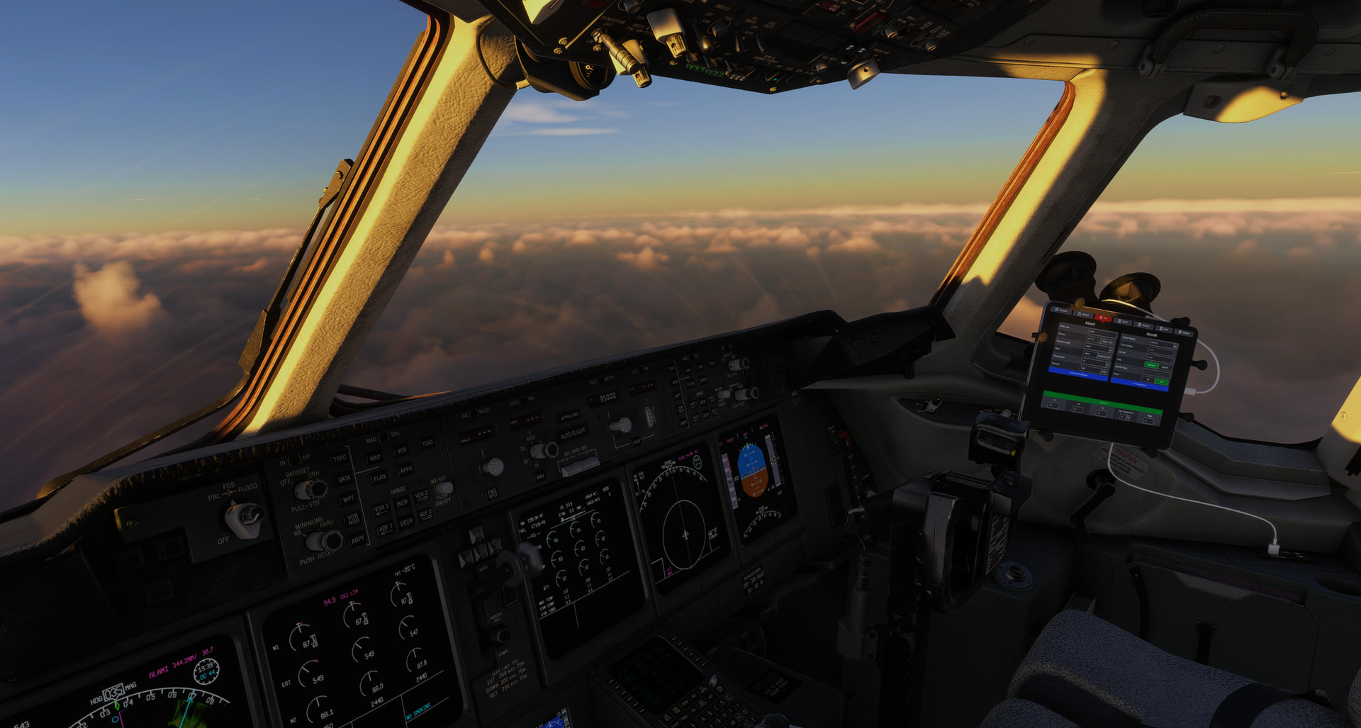
In this picture there is thunderstorm-activity out on the right hand side (Or straight ahead from camera POV). There is no indications of this at all from the weather-engine as the clouds in both layer and form have been looking the same for the last 300NM.
The giveaway is that there are some random lightning-spikes just occuring on top of the clouds, making it look like they appear out in clear air and with no relation to the clouds whatsoever.
I’ve read through this thread and there are many good posts about the technicality and advanced physics behind replicating weather. I think many of us have no expectiations of Asobo creating a 1:1 replica of the current weather-systems floating around the world as we speak. But if anything it would make a huge difference to get some dynamic “guesses” around areas related to convective activity to give that visual immersion that goes with the weather dynamics thats created in the same area.
Its a simulator and I don’t really care if its embedded or a full blown isolated anvil. But a better visual representation would do so much more, even if its a calculated guess.
13 Likes
I completely agree and have seen this countless times. I don’t mind if the storm isn’t exactly in the right place-right time, but if there’s lightning, the SIGMET says ‘TS TOPS FL540’ and it appears overcast waaay down there, that’s the problem. No need to fly around anything…
@fleXiBle91
Well, Live Weather can sometimes display storms in a somewhat more realistic fashion. Look at the clouds in the distance - though they are still too “ash cloud / volcanic” for my liking:
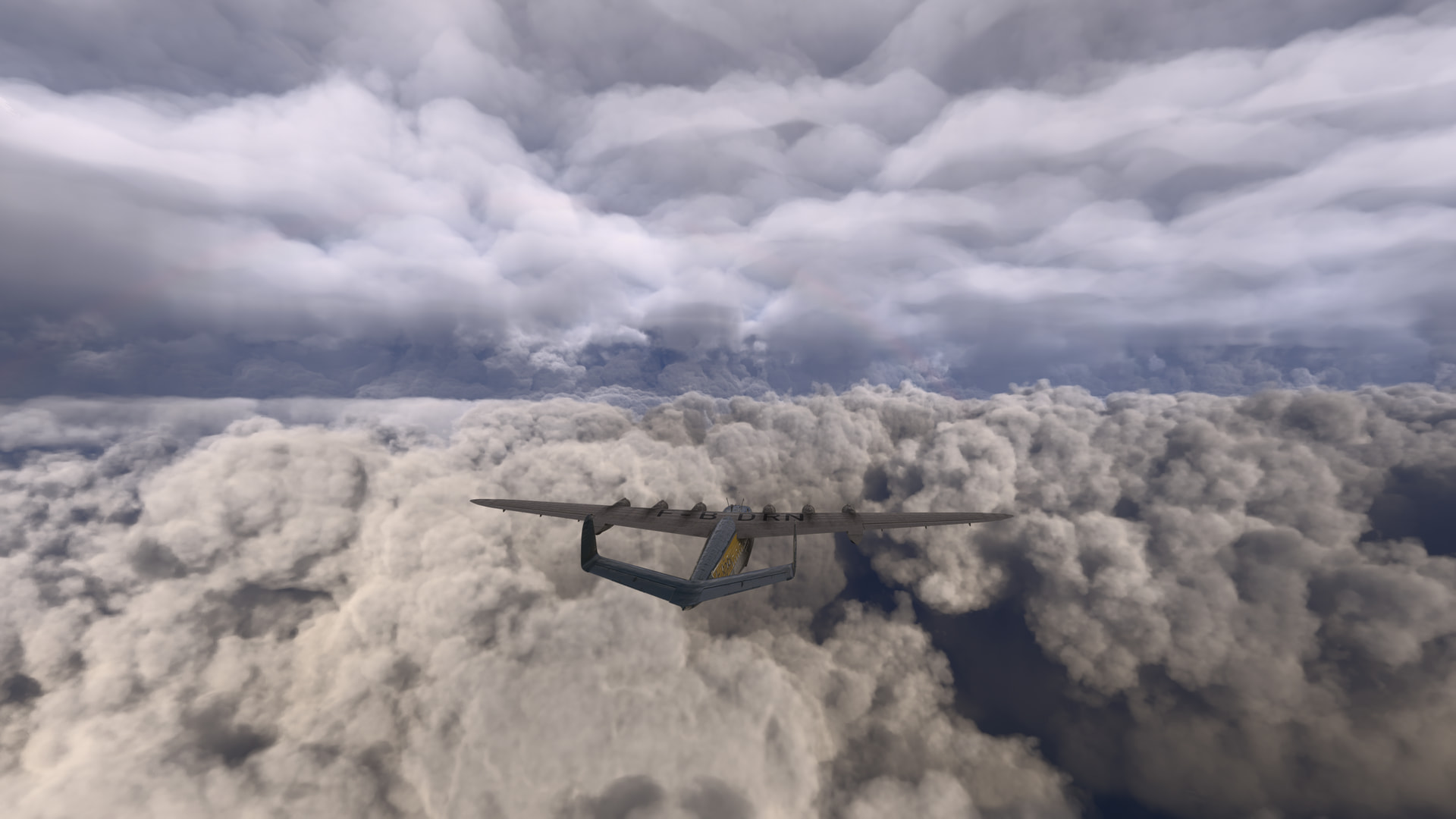
This shows what was being shown in the EFB at the time:
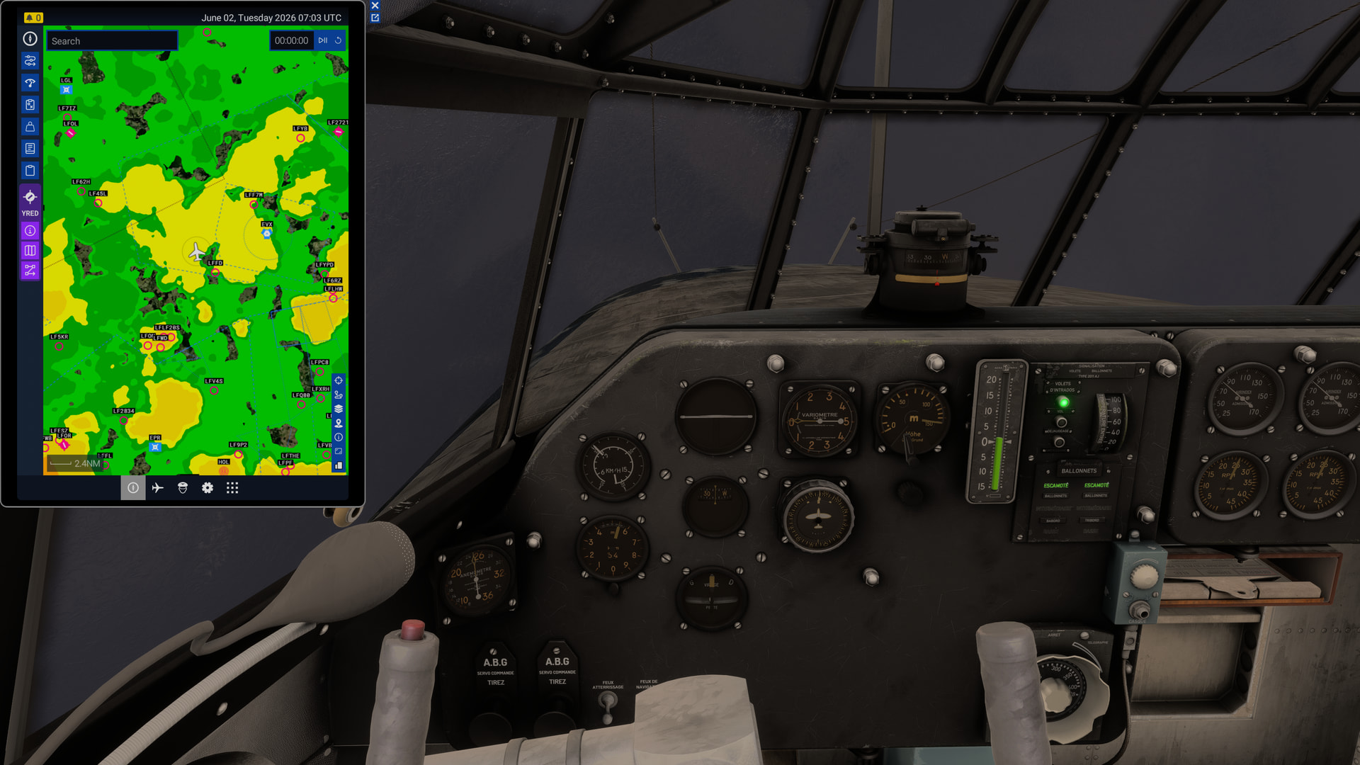
I did not compare the visuals to real-world data, though.
[MSFS 2024 SU5.1 v1.7.30.0]
1 Like
Oh my goodness, we’re still behind on graphics… pixelated clouds and missing lighting… we’re not yet next-gen in weather/atmosphere…
I flew to Denver last night in the sim in live time/live weather. There was a line of thunderstorms up north of the airport. Coming in on the STAR I could see where it was supposed to be but it was just an area of stratocumulus with no lightning.
Thunderstorm depictions continue to be as deeply disappointing in MSFS 2020 as they were in MSFS 2024 and I don’t understand why that’s not a higher priority for the devs.
It’s not hard to find reference images and videos of what thunderstorms should look like.
4 Likes
I have also flown in MSFS2020 from KLAS to KDEN numerous times. Coming over the Rockies I have seen lightning coming out of clear sky. No clouds at all even though there were supposed to be thunderstorms. I also don’t know why they can’t fix this.
Do you remember about where you were and what time? I’m just testing a hypothesis as to why the sim gets thunderstorms wrong over and over. I think it’s due to lack of resolution in whatever model they’re using, which misses storm initiation, especially when they’re smaller or cycling rapidly.
As far as the visual depiction - that absolutely could be better, but it comes back to them knowing where the storms are in the first place.
FWIW I flew from CNC3 Brampton to CYOW Ottawa in Canada a couple of days ago and ended up in quite the thunderstorm at the destination. On route weather varied, but I did have to climb to 12,000 ft for some time to try and get above the cloud. Hard work in a C172… But really no towering cumulus.
Had a booming quartering tail wind all the way: over 30kts for the most part. Had to do an ILS at CYOW and broke out about 500ft AGL. Initially a 9kt almost exactly 90° cross wind over the fence but of course it gusted up to around 17kts after that.
Some screenshots
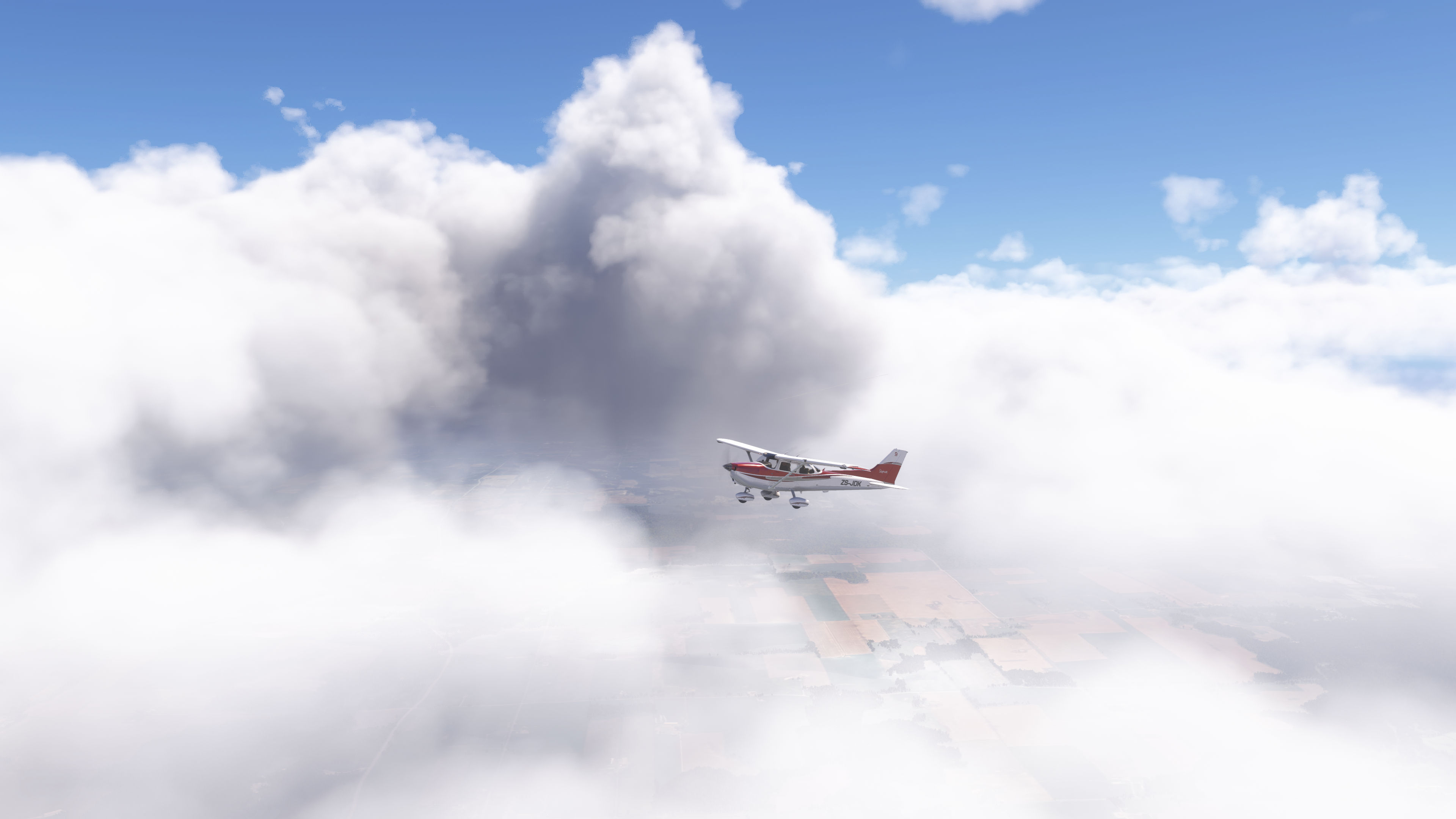
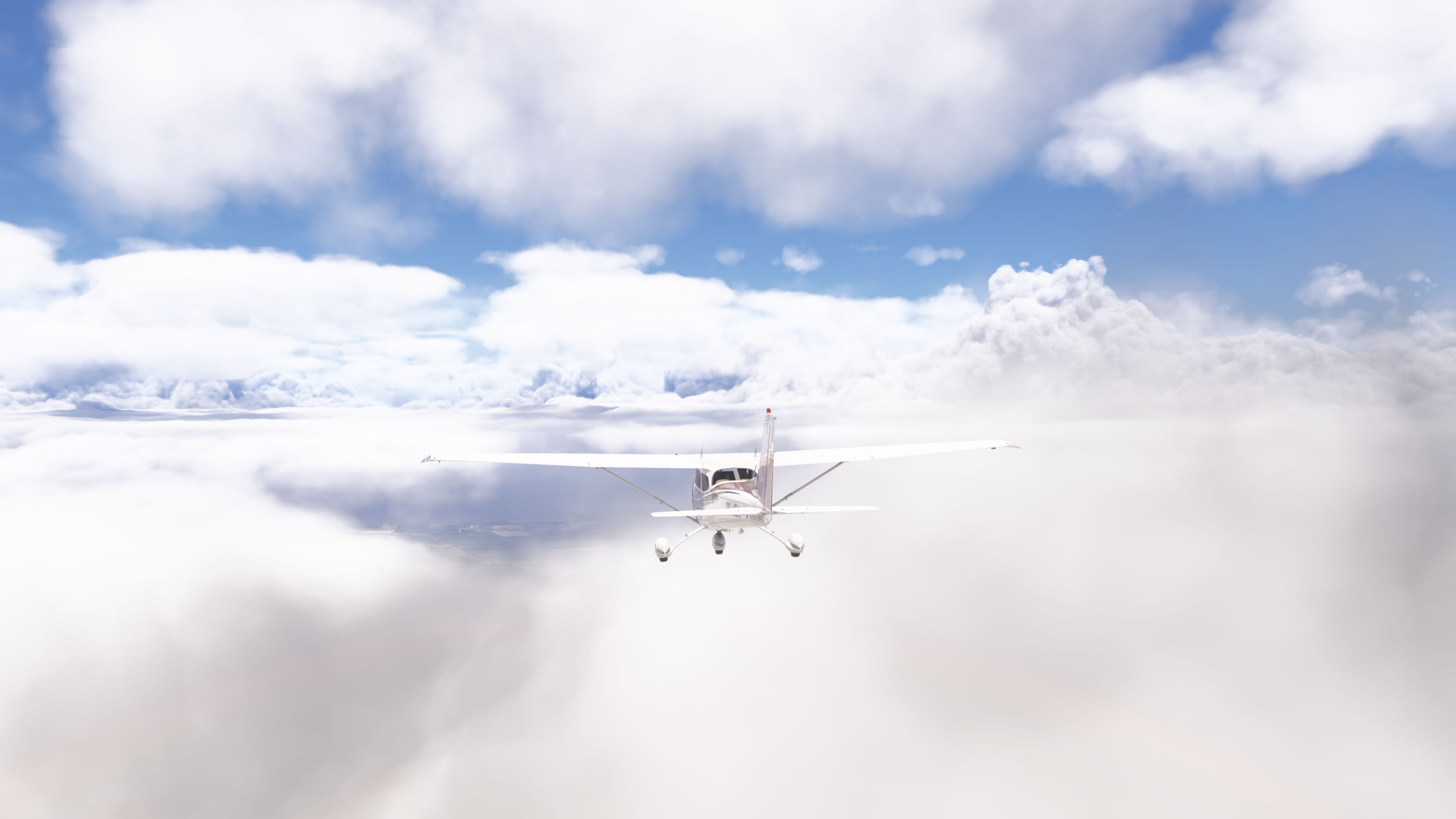
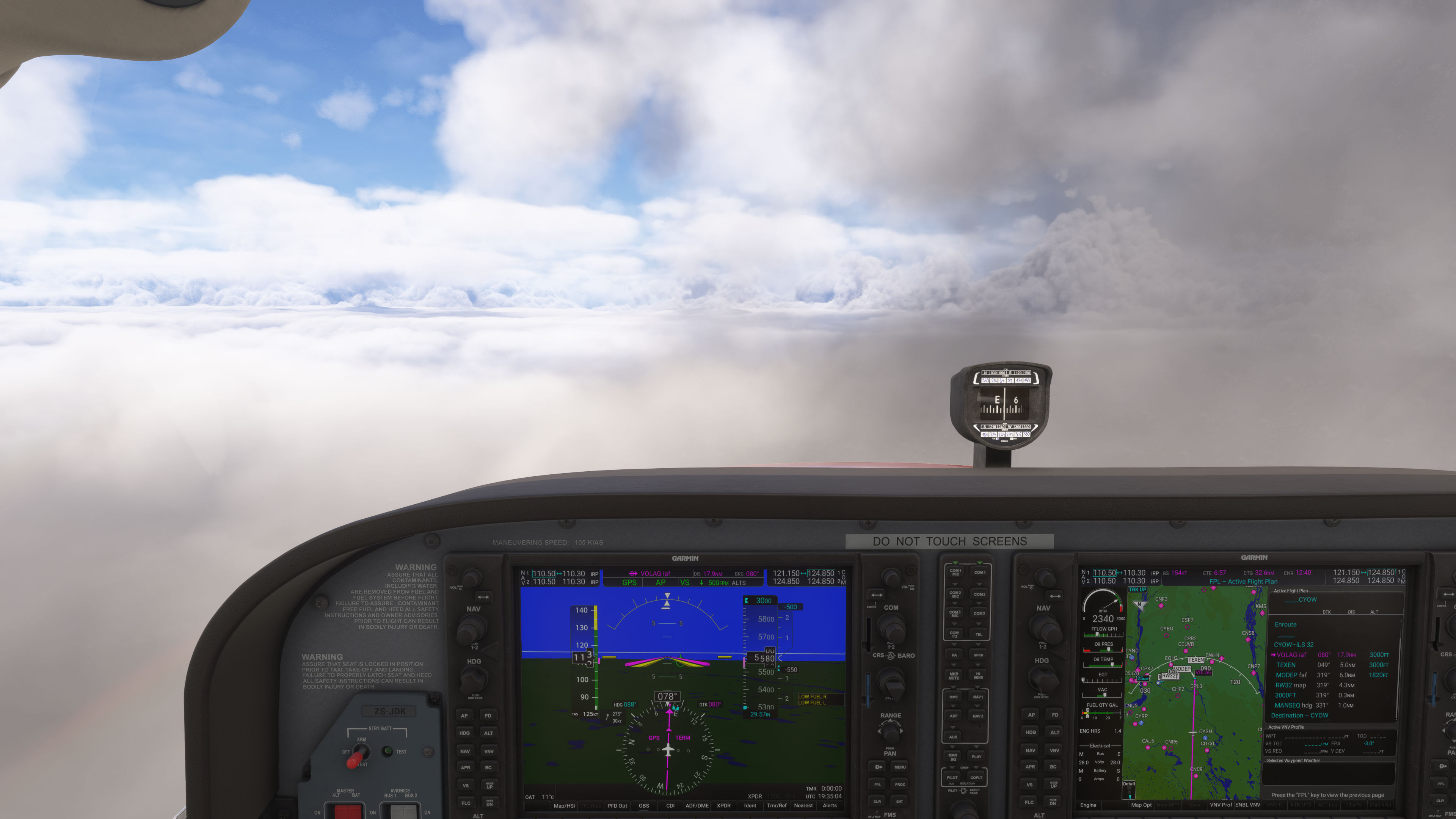
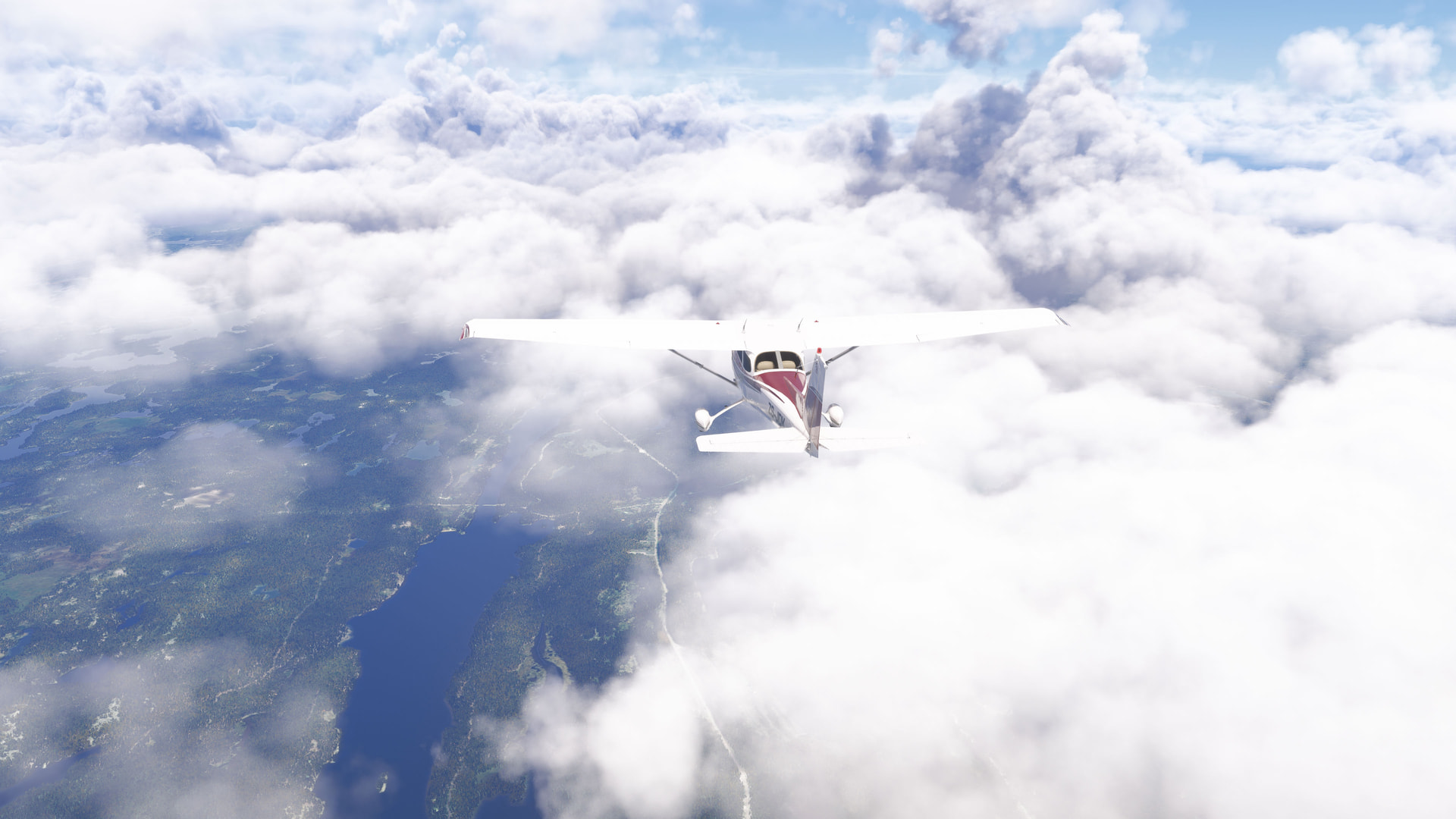
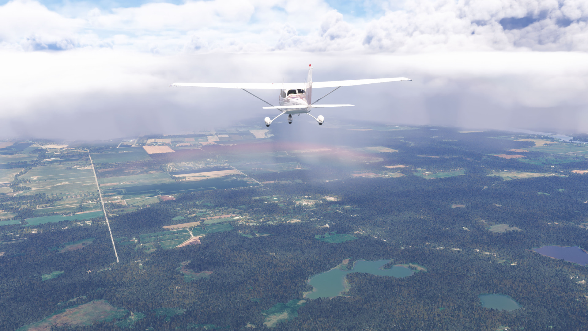
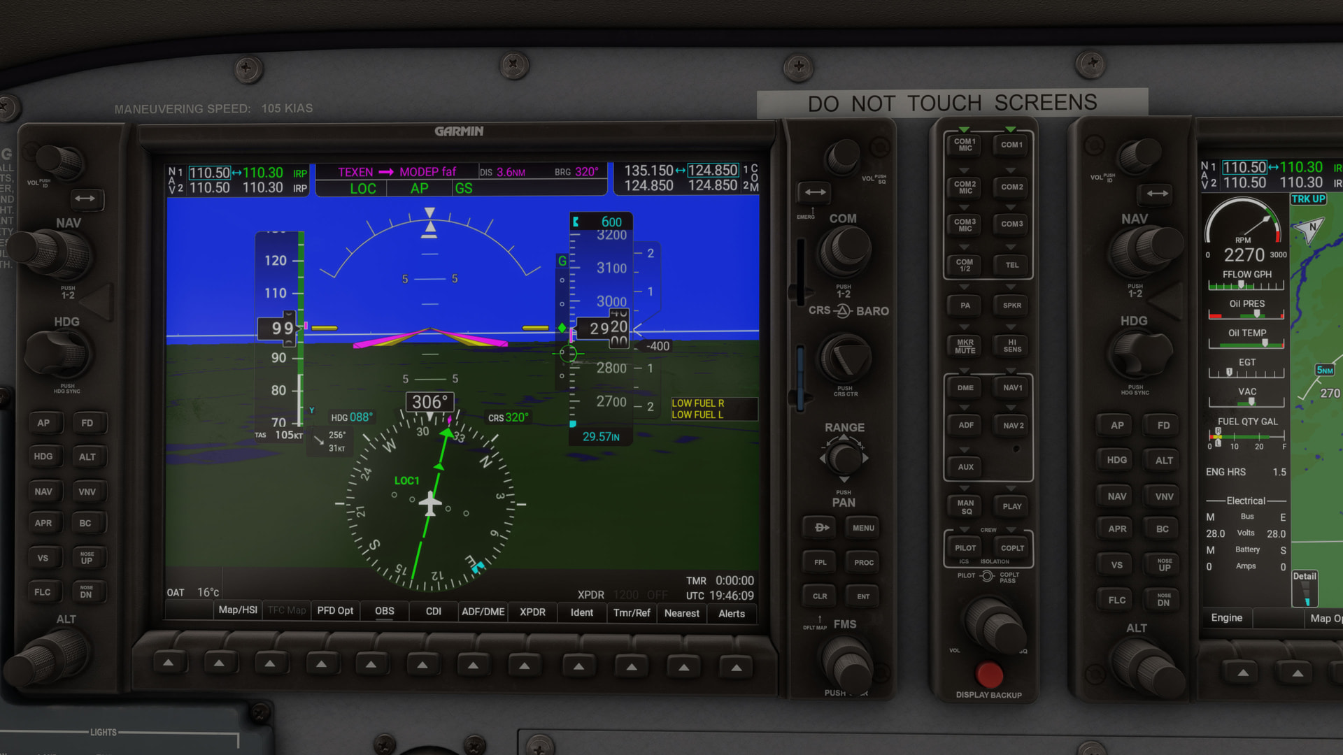
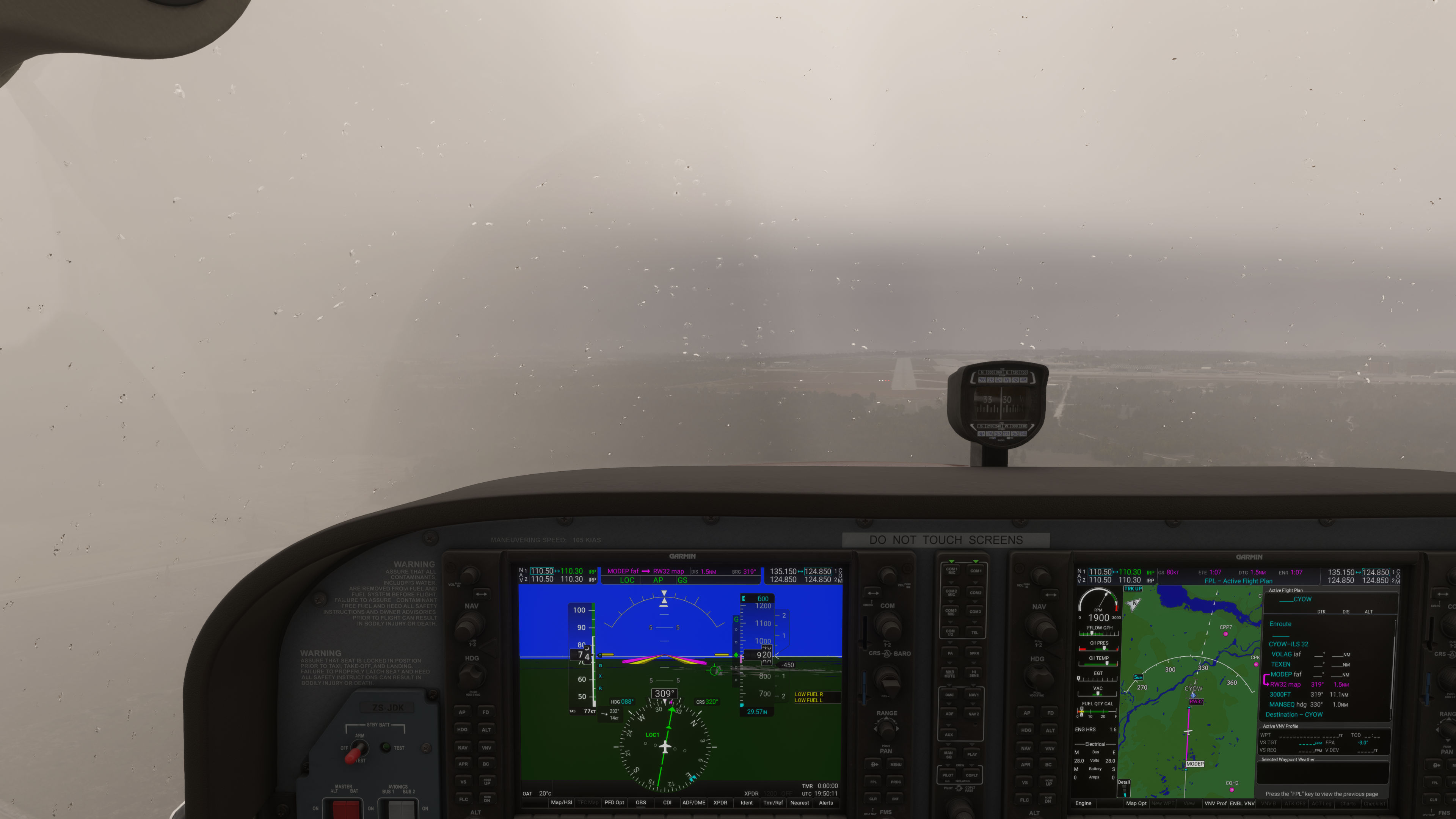
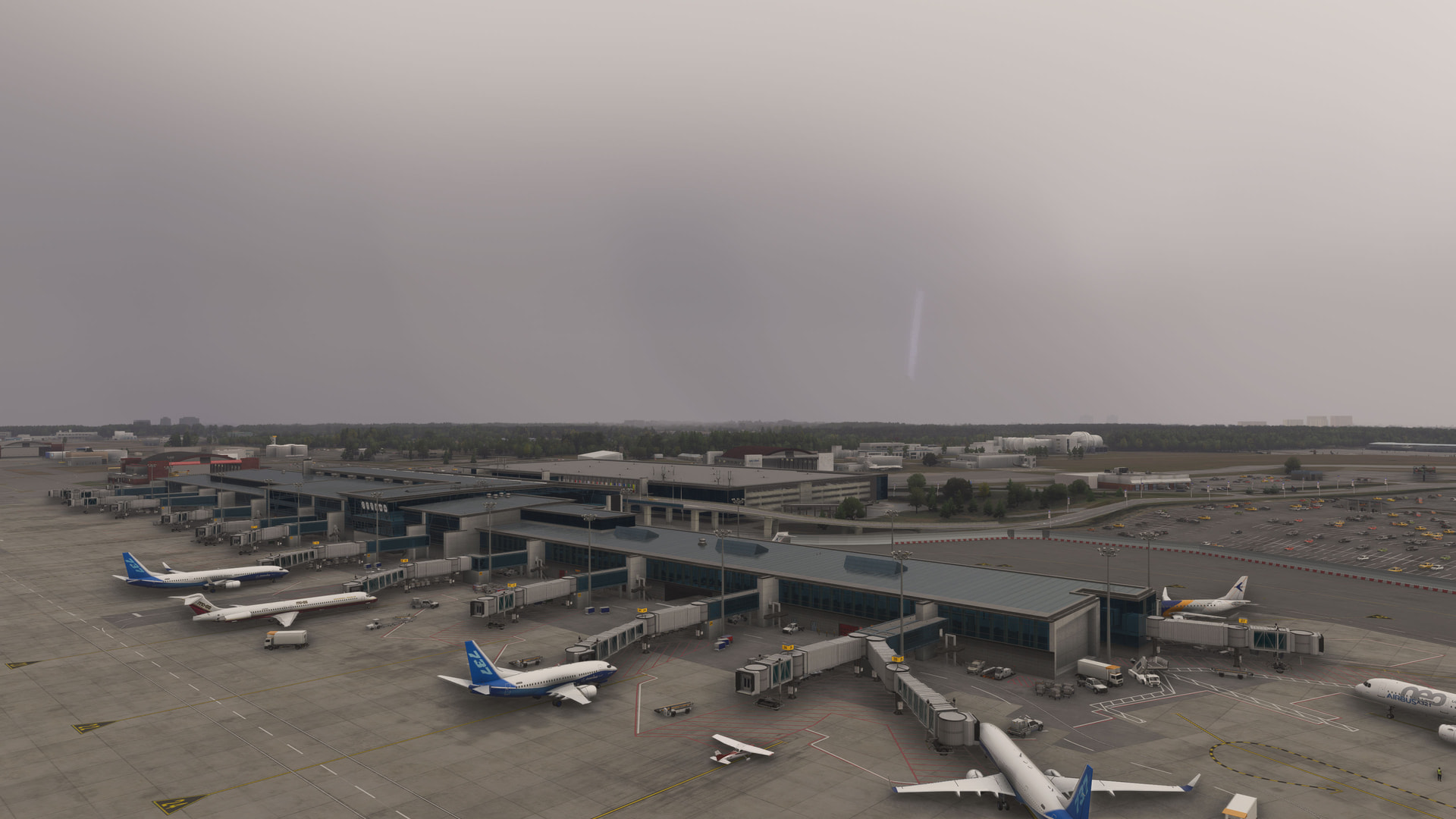
Once on the ground I tried capturing a screenshot of a lightning bolt but my reflexes weren’t up to it…
I was on the LAWGR4 into DEN last night (this morning zulu) at around 0430z. The weather was NW/N of the arrival vaguely in the Cheyenne area or N/NE of Cheyanne.
1 Like
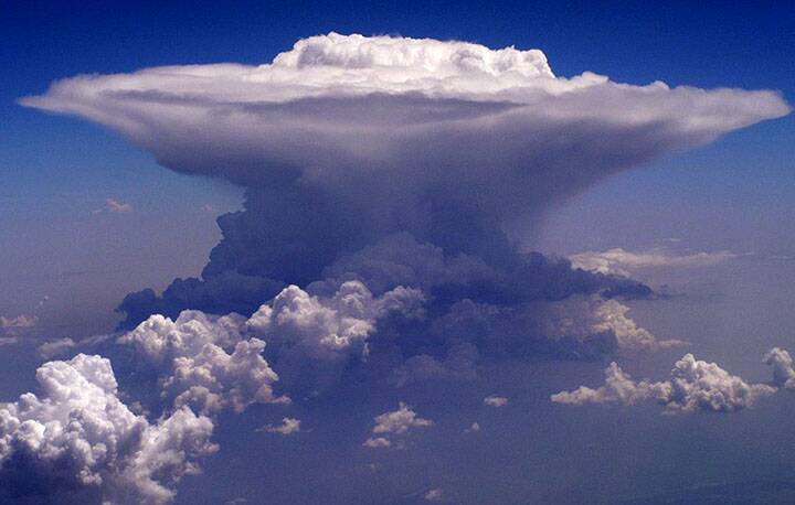
Wind and rain and lightning and the presence of some clouds is not what this thread is meant to be about, this thread is about the lack of the proper depiction of the clouds that form with a thunderstorm, cumulonimbus.
8 Likes
Thanks for the info - I think I see the complex you were talking about. It looked to be about 50-60nm to the right of your course. Does that line up with where you were at the time?
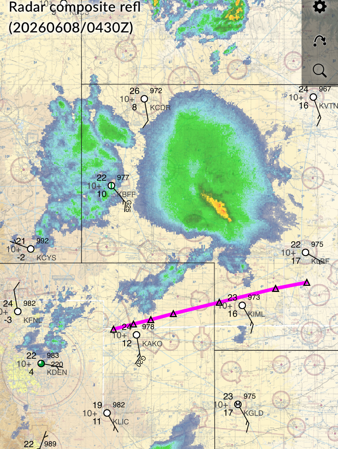
For perspective: By 0430 the complex was diminishing rapidly and by 0500 there were not even any medium echoes left, though a new line redeveloped behind it at 0600. But generally the weather depicted in the sim lags behind, and it’d had been active and quite severe for a few hours prior, so I’d expect there to be something.
The precip echo tops in the core of the complex topped out at about 30-40,000 feet and it should have had a very well-developed anvil shield spreading hundreds of miles downwind (NE) by that point, with a dozen or so miles of backshear.
Midway through the arrival it looks like there was a developing, flanking line of lighter precip between you and the complex, which didn’t intensify much or start producing lightning until 0600 or so (well behind). IRL that smaller line might have obscured the view of the complex a bit, but I have a feeling the sim didn’t have those, either.
All said, with the way things were last night, you should have been able to see some of it, especially in the distance at your one o’clock as you approached BRWRY from the east.
I’m still trying to make sense of why the sim gets this stuff wrong. I’m trying to do so as scientifically as possible, but dealing with in-sim weather methodically is like herding cats.
Based on comments made during the last dev stream, I feel like a lot of it comes down to them misunderstanding the problem because they’re not making the right comparisons and understanding what data, or how much resolution is required to drive the weather engine more accurately, especially in regard to ephemeral weather like thunderstorms. That, or the resources simply aren’t there to resolve the data accurately, though I have a hard time believing that can’t be tuned better.
2 Likes
I think this is a huge component of the problem as well. That and that weather depiction outside of areas covered by METARs is entirely based on forecasts and not on actual live weather, and even in areas that are covered by METARs the METARs don’t provide any of the information you need to get from radar, etc.
2 Likes
Another dev update at FSexpo. Another depiction of amazing thermals and wind effects. Nice.
Any mentions of this thread or clouds? No.
Any addressing this elephant? No
Please team, just read this thread. Give us an update.
21 Likes
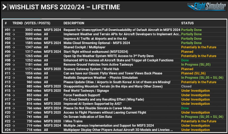
Note that there are currently 4 weather-related items at the top of the wishlist that gets posted in developer updates, including item #2 with 3000+ votes. It’s interesting that #07 is only ‘potentially’ in the future, because that would at least allow third parties to have a go at fixing problems like these. And then of course #12 is in progress, which focuses more on the physics of air movement that we’ve been shown, and which is also important to tackle. And finally #17 is more closely and directly associated with cloud visuals, but that’s just ‘under investigation’ for now.
I’m not sure where the 400+ votes for this cumulonimbus-specific thread currently place it in the wishlist order. Hopefully it’s at least sitting in the top 50, even if it hasn’t cracked the top 25 yet.
7 Likes
A post was merged into an existing topic: FSExpo 2026 Discussion Topic