Route Advisor: Pan-Philippine Highway (AH26), Philippines (Part 1).
From: Laoag International (RPLI)
To: Pinili Airstrip (RPES)
The Route:
The Pan-Philippine Highway, also designated as Asian Highway 26 connects the islands Luzon, Samar, Leyte and Mindanao. It measures 3,380 km and consists of highways, roadss and ferry services.
The Flight:
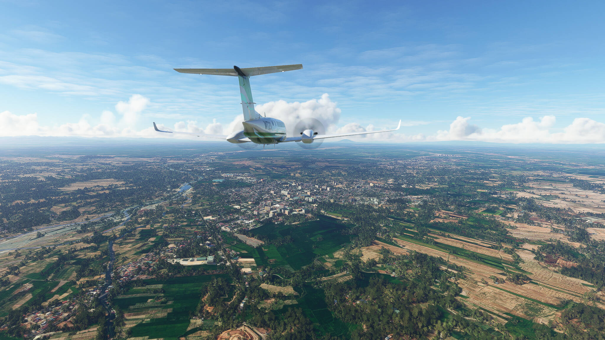
The northern end of AH26 in Laoag (Picture 1).
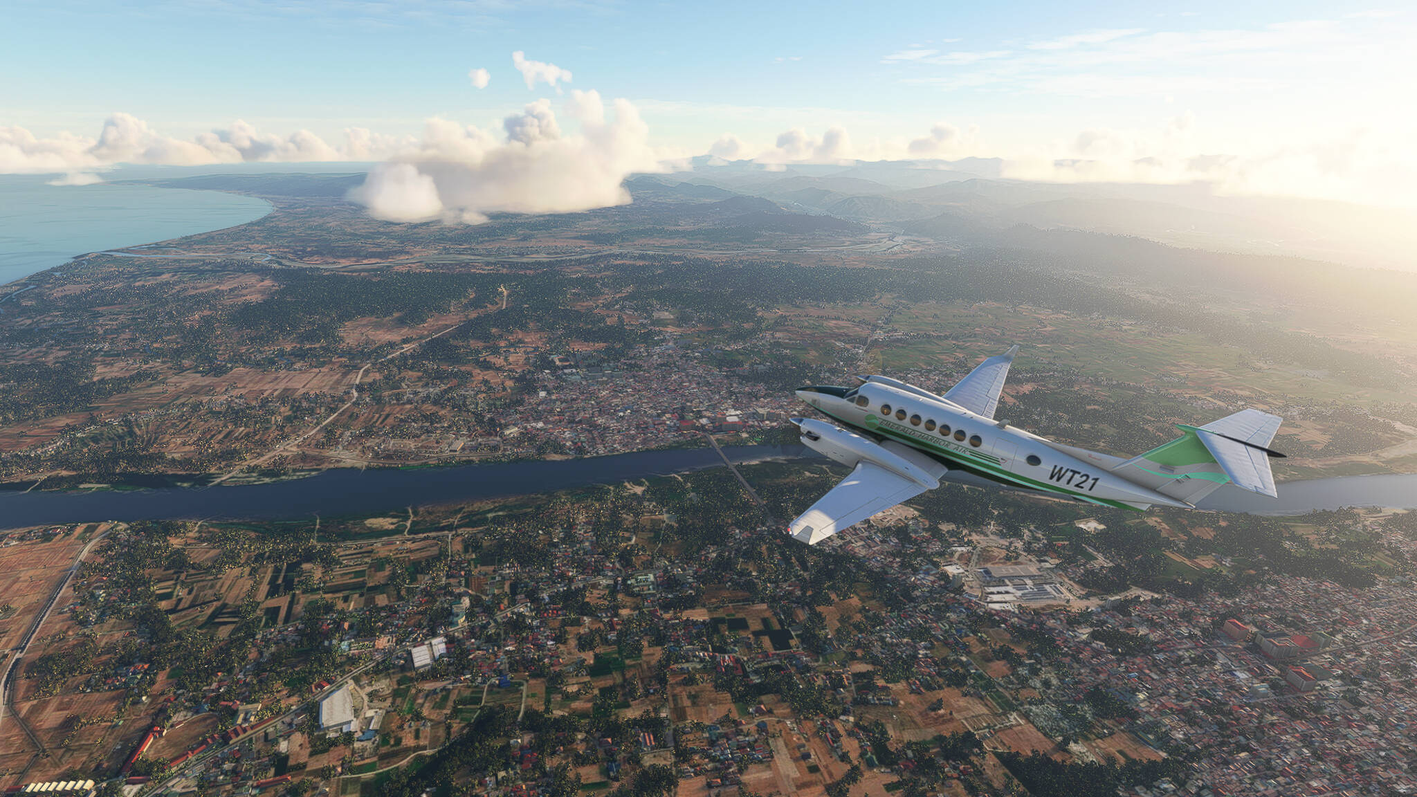
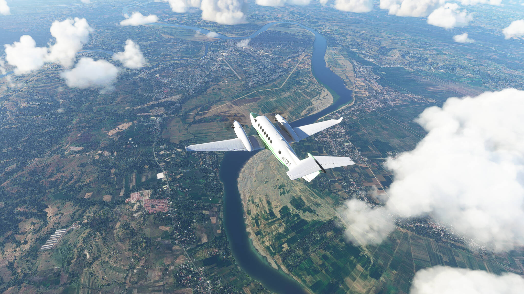
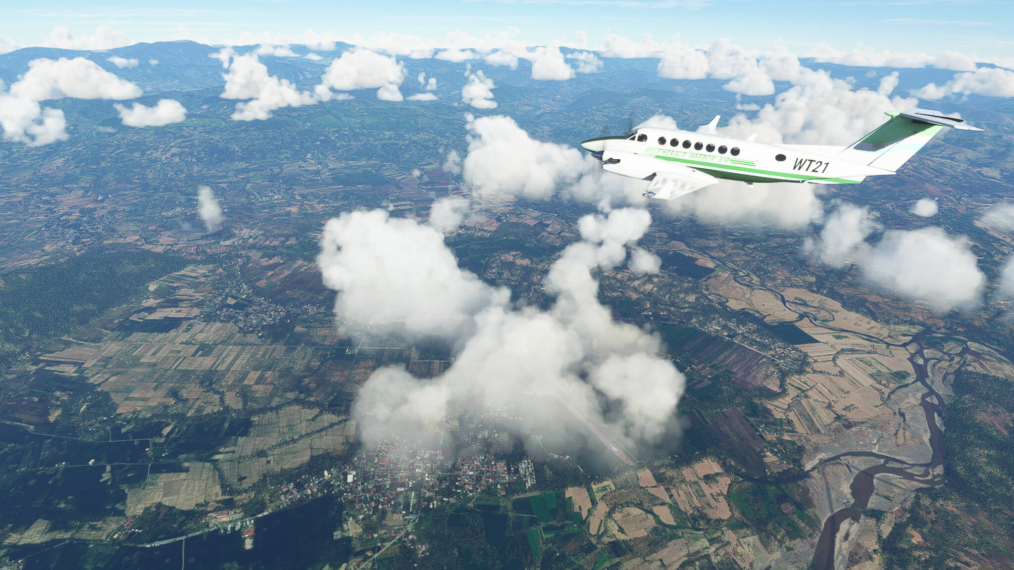
Bulu River Estuary near Pagudpud (Picture 2).
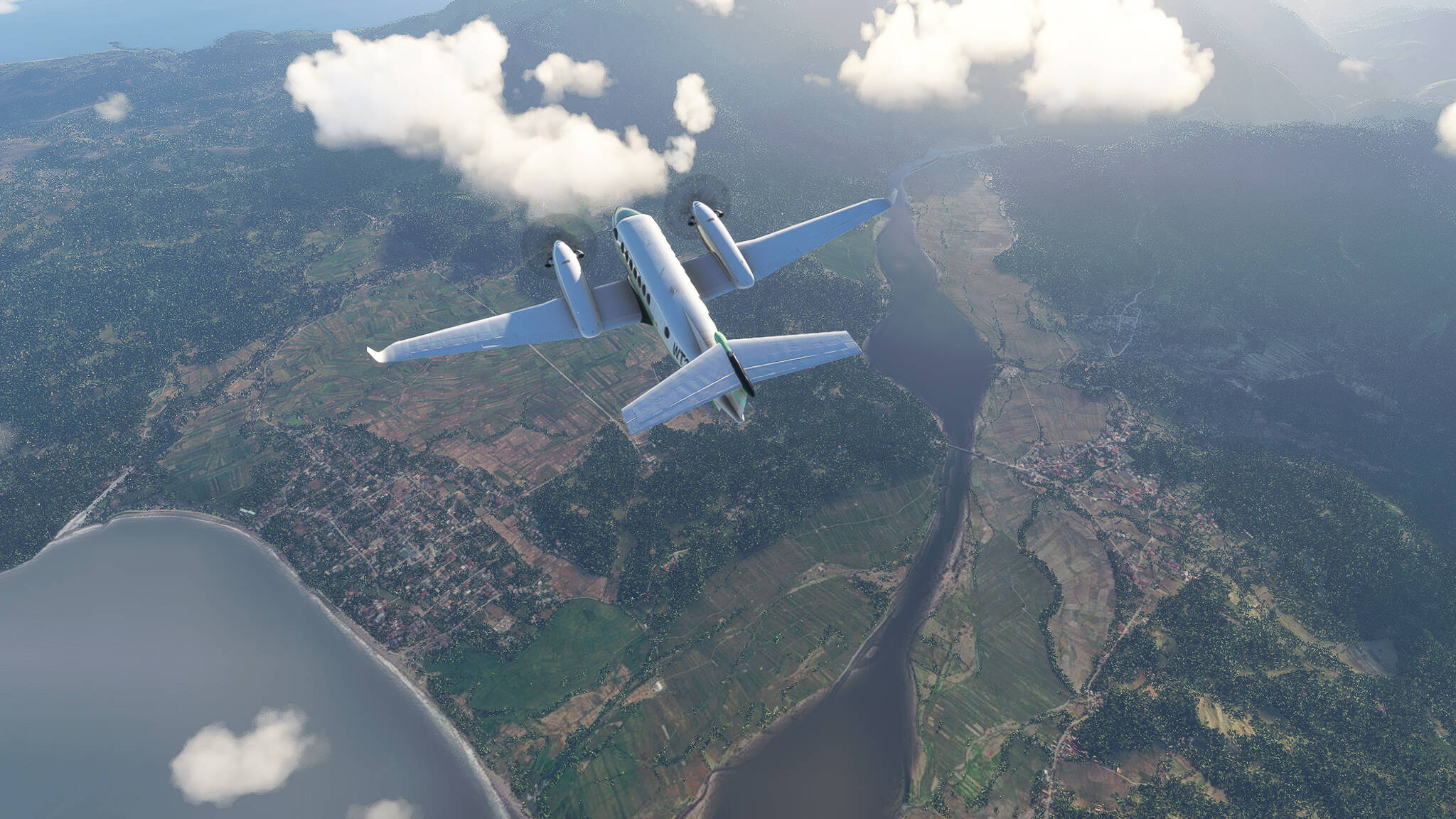
Claveria in northwestern Cagayan Province (Picture 3).

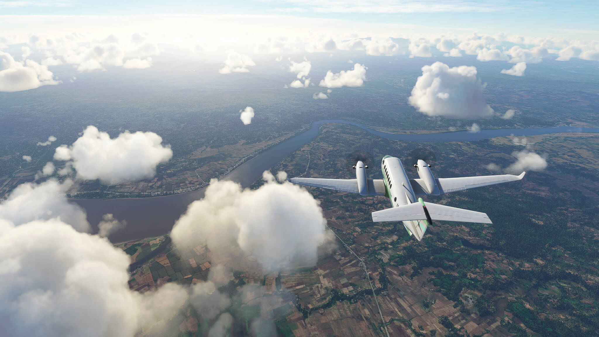
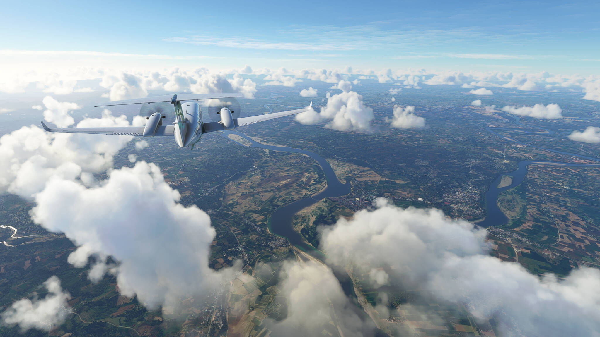
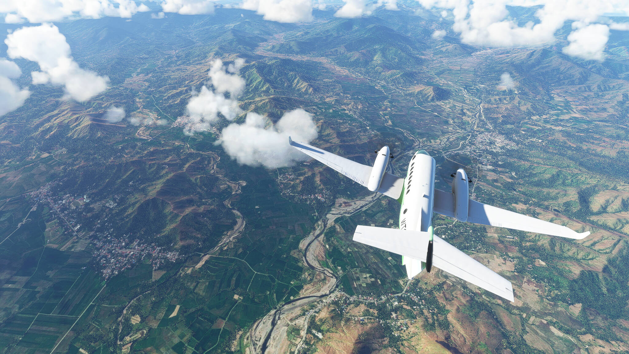
Crossing Abulug (Picture 4) and Cagayan River (Picture 5).

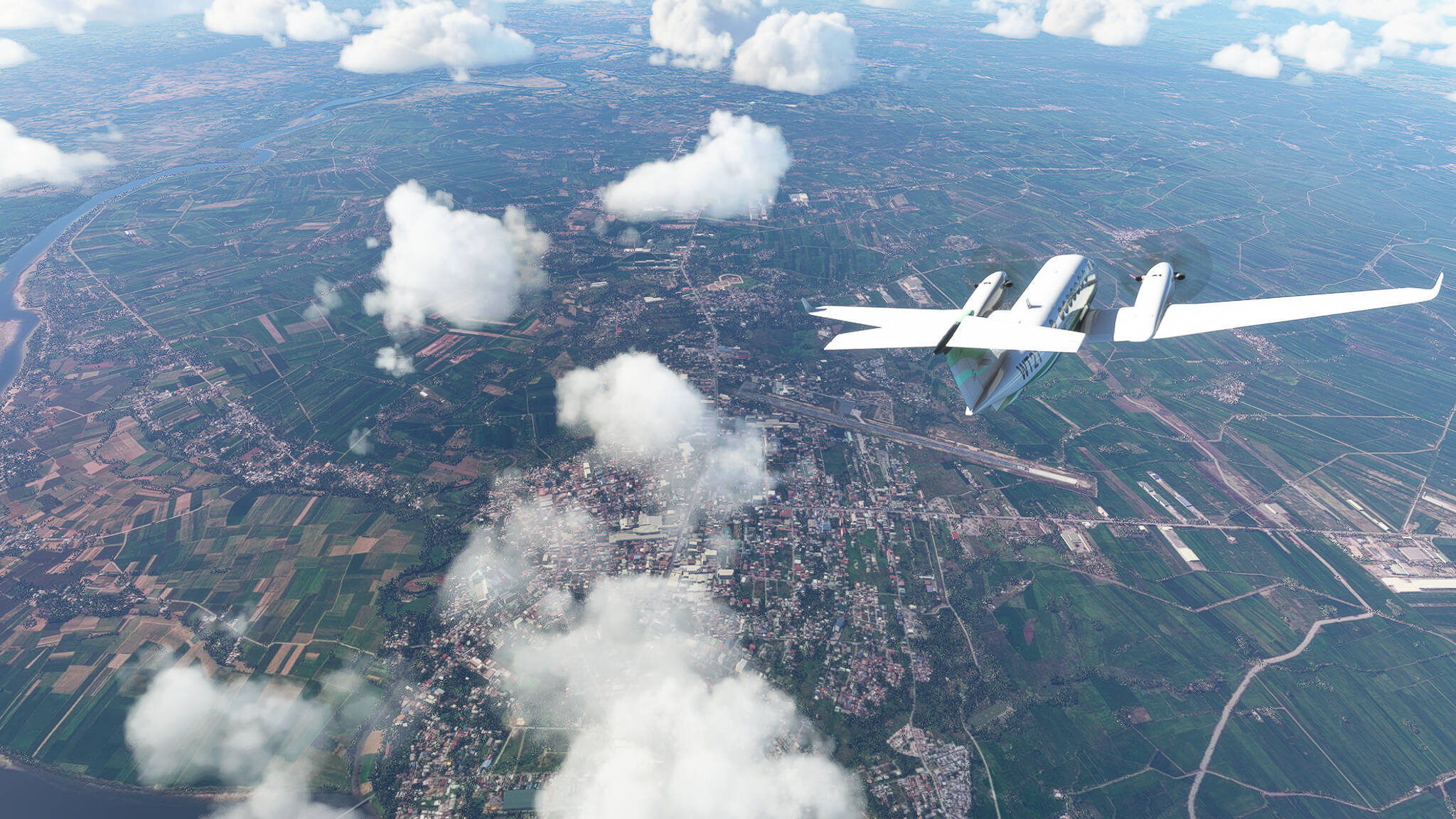
Tuguegarao on the eastern Cagayan bank (Picture 6).
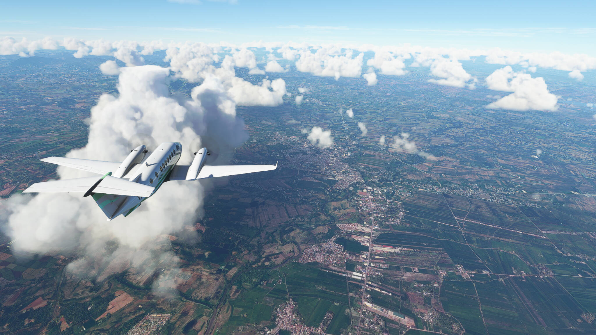
Ilagan at the Ilagan-Cagayan confluence (Picture 7).
Cauayan in Isabela Province (Picture 8).
Batal on the northern bank of Diadi River (Picture 9).
Crossing Magat River near Bagabag (Picture 10).
Beginning our descent near Dupax del Norte (Picture 11).
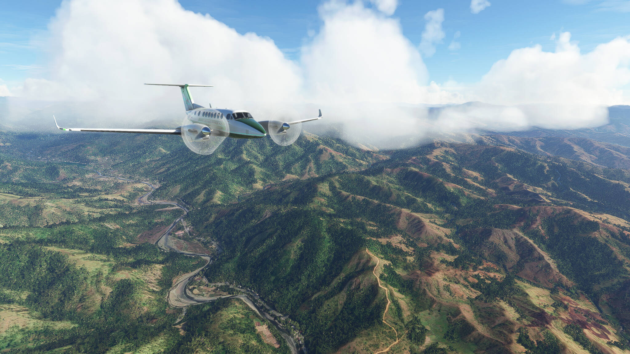
Flying through a valley south of Putlan in Central Luzon Province (Picture 12).
Beginning our last turn before landing over San Jose (Picture 13).