Asobo said: " In Microsoft Flight Simulator 2020, users experienced photogrammetry cities for the first time. For the 2024 version, Microsoft has doubled the number of these cities , adding even more urban landscapes and further enhancing areas with LiDAR data, which provides stunning, precise detail for regions that have never been mapped this way before"
Are the new TIN city sceneries actually available yet? Certainly old cities like Los Angeles, Portland, and New York have not been updated visibly.
There’s been some speculation on other threads that the previously-announced delay of the shared world update for 2020+2024 has actually left 2020 and 2024 both on the old 2020 shared world, with no 2024-specific updates at all.
Does anyone know if this is true? Is there any new TIN/PG scenery in 2024 yet?
I don’t have a link to the original post and the search is … so hard to turn up specifc things … but someone else on this thread remembered the same post at least
What I do is put the map to night, find a populated area (easier at night) and zoom in, you can tell with in a few seconds whether it’s photogrammetry or not by the way it starts to load. If it’s not I zoom out and try somewhere else. If it is a put the slider back to day and start a flight It’s not ideal but it’s a hell of a lot better than having to load a full flight like 2020 only to find it’s an autogen area.
The map really needs a few filters, one where you can see photogrammetry areas, and/or one by the resolution quality of the terrain for less populated areas. They’ve made the whole world but they aren’t doing anything to help people find the best place to fly. I find it crazy they haven’t done this.
Nice to see the list… when I fly across the Central Valley of California i get a big boost in VRAM usage not I know it is right over Modesto! This lost town is the site of the film “American Graffiti”… must be some special love somewhere for it to make the list!
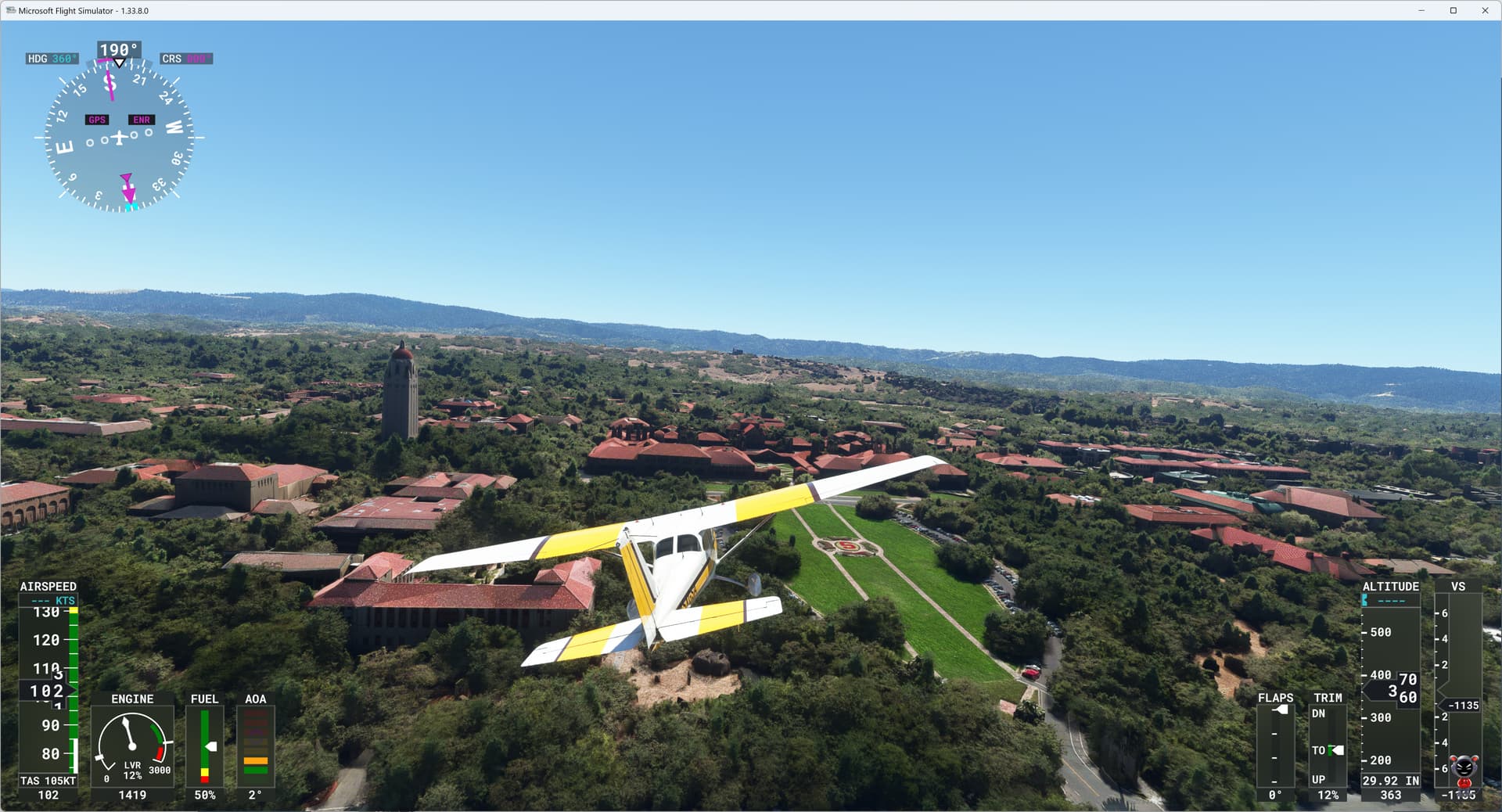
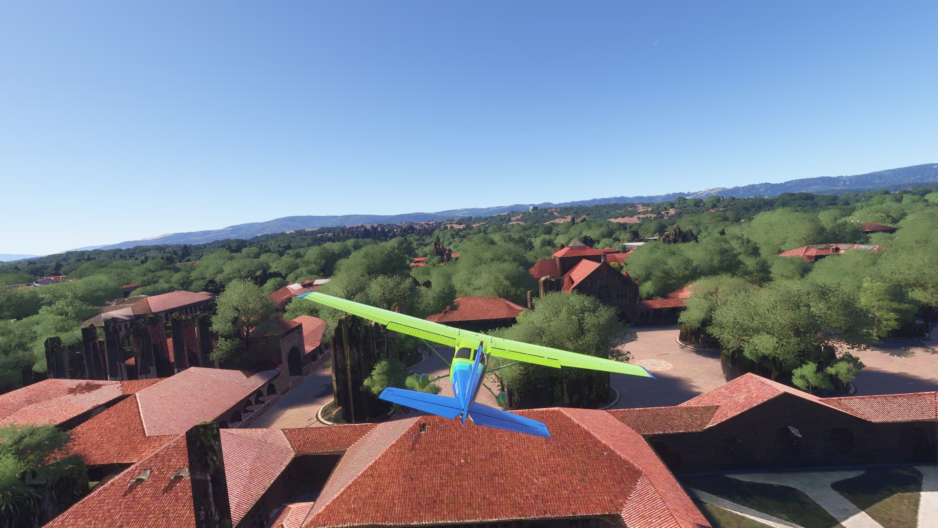
BTW: I work at Stanford University and the rendition in 2024 is 10 times worse than 2020. This should be the Palo Alto map… just terrible.