Hello everyone, I’m not sure if I’m in the right topic, but it’s still a question regarding the G3000. Sorry if I’m wrong ![]() . I used to fly in France, but there, going to Sweden, I saw red squares with numbers for the first time. Can someone please explain to me what this is?
. I used to fly in France, but there, going to Sweden, I saw red squares with numbers for the first time. Can someone please explain to me what this is? ![]()
thank you very much in advance
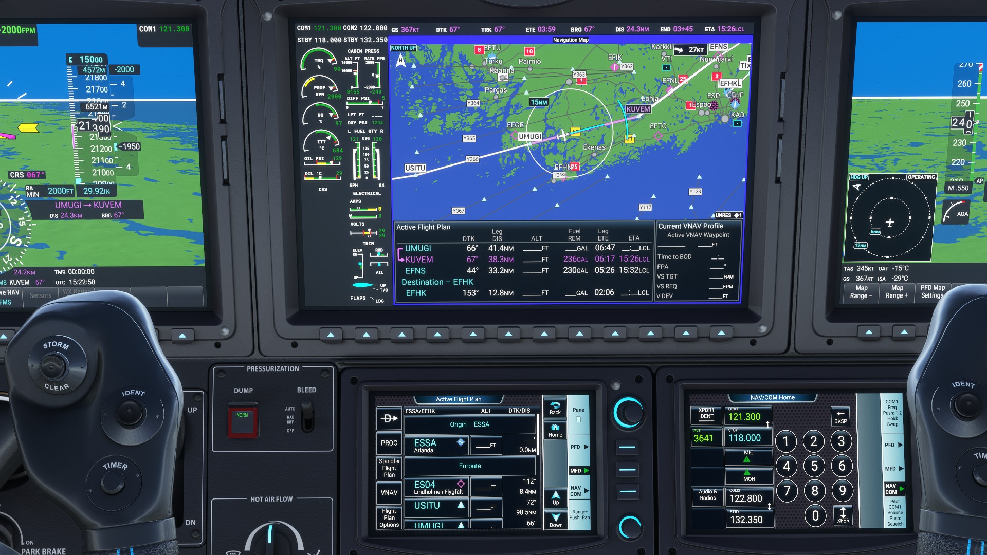
I think it’s part of the G3000 road-data package. It will highlight major highways on the map in some countries afaik. It’s supposed to help with VFR navigation.
Thanks !! ![]()
![]()
![]()
indeed, I just saw it in France too and it is indeed about highways, I didn’t have it until today and I haven’t changed anything, weird ![]()
Hi everyone:
Yesterday, coinciding with an update of mfs2020, I have started to experience continuous ctds in the load of the flight. I have been having ctd problems for weeks, mainly during the flight and erratically (takeoff, cruise, approach…) but since yesterday the ctd occurs in the load phase of the flight. I have moved the g3000 mod from the community folder (I only have the navigraph addon) and in 5 consecutive flight tests I have not experienced a ctd again. It seems that this minor update from yesterday, August 25, 2022, did not sit well with him. Cheers
Hi there! I’ve just installed the WD G3000 mod but the VNAV function doesn’t work as it does on other planes equiped with the WT G1000. When the plane reach the TOD point it continues flying the same altitude. I flew the Citation Longitude.
Any solution for this? Thanks
The G3000 mod is a long way behind the G1000 so don’t be surprised that many functions we take for granted in the latter don’t apply as yet on this version.
VNAV is Advisory Only.
VNAV mode just follows the set approach, but the decent has to be set manually. You should see a diamond like on a IFR approach but you need to follow that manually because there is no actual glideslope signal. If you don’t set a decent the plane will stay at the present altitude.
Happy landings
There is guidance coupled to the autopilot if you fly the approach and activate APR before the FAF and are at the proscribed altitude to capture GS/GP. That gets you down to MDA and you can disconnect and complete the landing.
For all waypoints prior to the FAF, you should use the altitude projection arc which shows a continuously computed point where you will achieve your selected altitude based upon current speed and descent rate. Use that to hit the approach waypoints at the right altitude and time.
very nice. thank you for your work.
Even though there’s no coupled VNAV, there is Auto-Throttle on the Longitude, which makes advisory VNAV descents with VS fairly easy. If we get to the point where we have a) coupled VNAV, b) auto-populated altitude restrictions in the FMS, and c) auto-throttle (already exists), then descents in the Longitude will almost become too easy! (Oh, and add d)…fix the flight planner “turn back” bugs and “Flight Plan Unsynchronized” errors too.)
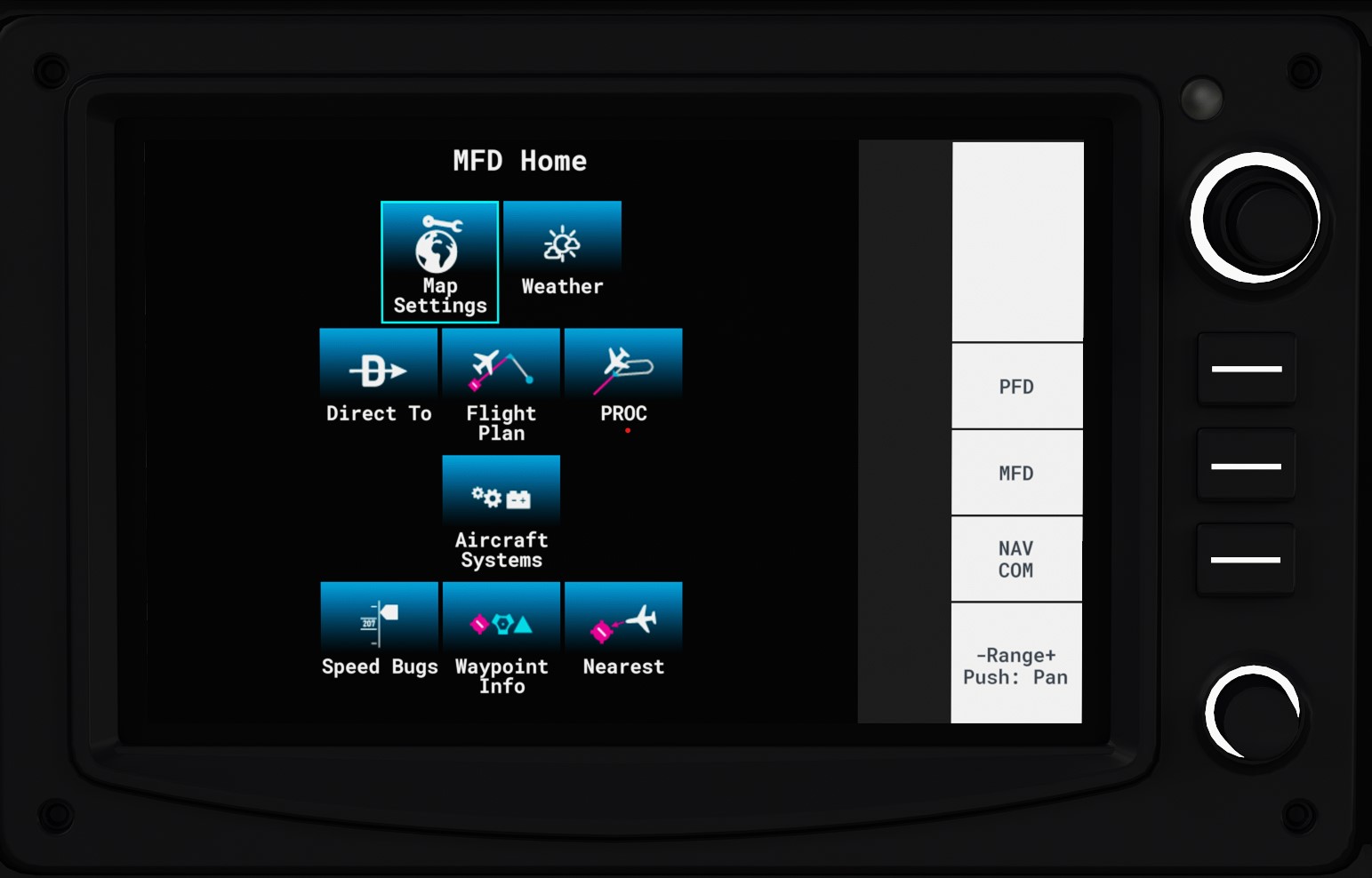
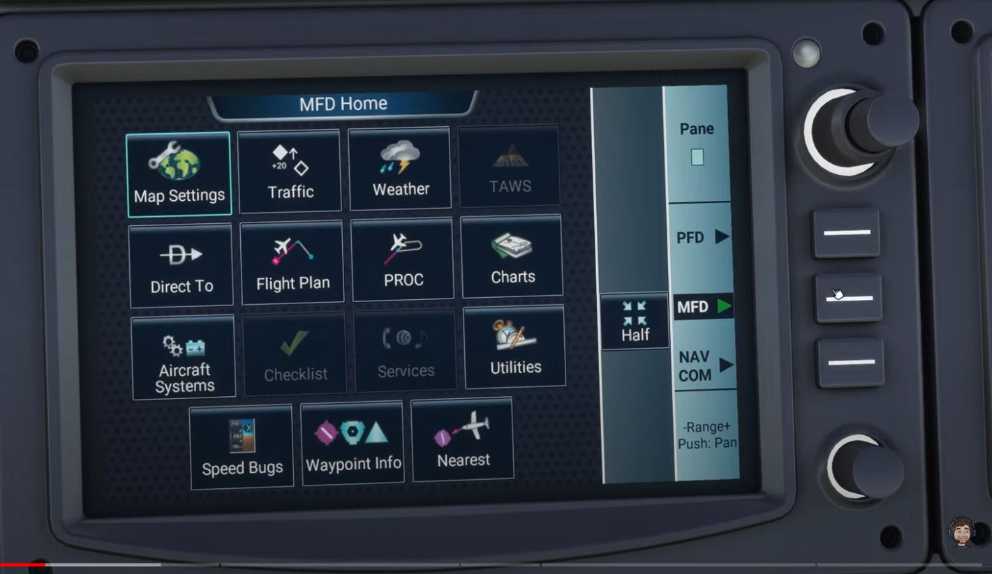
you dont have the mod installed.
You are using default. You need to download and install the Working Title G3000 mod.
The latest G3000 mod is at
Download it from there & put it in the community folder.
It works !!! Many thanks dear simmnut ![]()
My G3000 shows a blank white screen at LAX using the latest Working Title Mod. v0.7.8
Other airports seem to work properly.
I removed the mod and still does not work at LAX.
The problem seems to be with the LAX airport.
Hope this info helps somehow.
Hope this is the right spot. I have been having no luck getting the G3000 roaddata to work. May be related to the problems with the VFR map. I have tried several versions of the G 3000 Mod v6, v7, v8. I have 500 gigs available on the drive for the sim, 3.75 GHZ processor and 1660 video card. The road map never appears, and the VFR map is balky. Does anyone have roaddata working? I followed the directions and put the unzipped folder into community.
Yes, working fine for me.
What kind of video card do you have? Are you having any trouble with the Nav Map?