Upvoted.
I know this could be really hard due to the regulations and policies of the Chinese government.
But I really hope one day I could fly above my hometown in its all photogrammetry glory.
3 Likes
I know it will be hard to have a world update in china,but i hope the map will be better than now
2 Likes
We have a large number of Chinese players waiting for the World Update for China. 
9 Likes
The growing fiercer competition between international tech giants and China’s local map services was the bigger reason at the time. The amount of work and street data, localization and photogrammetry data needed to be collected was not an easy task even for Google and Bing maps. Over a decade ago they pretty much had to start from ground zero, the infrastructure development speed was unseen. Thousands of new roads, bridges and tunnels are finished day by day, when I was living in China during those years nobody wanted to use Google maps or Bing maps simply because they failed to keep up with the new roads, shop information and etc. Later when Chinese local map services started offering much better services and features that was even ahead of the Google maps and Bing maps services in home regions like the US, they stopped further investment and left the market.
3 Likes
That’s correct, when I was living in China a few years earlier. Newer map technologies like 3D maps, interior maps, the amount of integrated features and 3rd party services, quality of Navigation and the speed of implementing new map data, pretty much was all better and even ahead of what I had in the US with Google maps and other services at the time. They probably already have much better map services than us right now, tech company competition could be very fierce in some eastern Asian countries, you will see that when you go there, it’s amazing.
1 Like
Photogrammetry was tried and failed many times by companies in China, thousands buildings in the urban areas has been demolished and rebuilt in the past decade on a daily basis, infrastructure saw an huge overhaul that’s unprecedented in history anywhere. Photogrammetry wasn’t very appealing to the users since they couldn’t update all the data fast enough using this method, and roads, bridges, buildings and tunnels was changing vastly at a super fast pace. This made photogrammetry data collecting not a good investment there, consider the amount of money, time and resources involved.
You can also see this problem in many places in the US, here at where I live in the Bay Area / North California. Everything (buildings, signs, roads) is looking exactly like in 2013.
So finding the proper photogrammetry data for the majority Chinese cities would be hard, but for some major cities in China, there’s a lot of available companies Asobo / Microsoft could partner with to get these data as well.
1 Like
An one stop article to hopefully answer all your questions regarding Chinese national mapping regulations and why services like Google maps and Bing maps left the region. From someone lives in China.
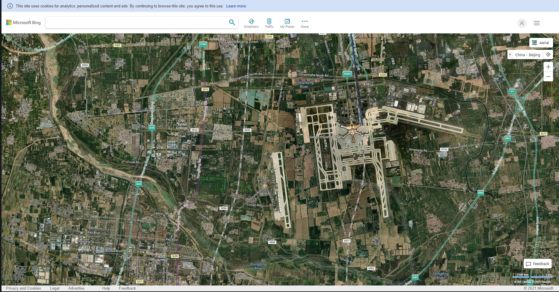
It would be difficult for Asobo / Microsoft to utilize Bing map for updating China’s satellite data, Bing map stopped updating in many regions and areas in China since a few years ago. Those cities and regions has seen a huge infrastructure and urbanization development in the recent years, many airports and area has changed significantly.
Legal issues could be one reason, such as the case with google and other companies’ map services. The growing fiercer competition between international tech giants and China’s local map services was the bigger reason at the time. The amount of work and street data, localization and photogrammetry data needed to be collected was not an easy task even for Google and Bing maps. Over a decade ago they pretty much had to start from ground zero, the infrastructure development speed was unseen. Thousands of new roads, bridges and tunnels are finished day by day, when I was living in China during those years nobody wanted to use Google maps or Bing maps simply because they failed to keep up with the new roads, shop information and etc. Later when Chinese local map services started offering much better services and features that was even ahead of the Google maps and Bing maps services in home regions like the US, they stopped further investment and left the market.
When I was living in China a few years earlier. Newer map technologies like 3D maps, interior maps, the amount of integrated features and 3rd party services, quality of Navigation and the speed of implementing new map data, pretty much was all better and even ahead of what I had in the US with Google maps and other services at the time. They probably already have much better map services than us right now, tech company competition could be very fierce in some eastern Asian countries, you will see that when you go there, it’s amazing.
Photogrammetry was tried and failed many times by companies in China, thousands buildings in the urban areas has been demolished and rebuilt in the past decade on a daily basis, infrastructure saw an huge overhaul that’s unprecedented in history anywhere. Photogrammetry wasn’t very appealing to the users since they couldn’t update all the data fast enough using this method, and roads, bridges, buildings and tunnels was changing vastly at a super fast pace. This made photogrammetry data collecting not a good investment there, consider the amount of money, time and resources involved.
You can also see this problem in many places in the US, here at where I live in the Bay Area / North California. Everything (buildings, signs, roads) is looking exactly like in 2013.
So finding the proper photogrammetry data for the majority Chinese cities would be hard, but for some major cities in China, there’s a lot of available companies Asobo / Microsoft could partner with to get these data as well.
Companies like Apple chose to partner with Chinese companies to implement map data into their Maps app and services.
I think Asobo / Microsoft could use the Apple model, partner with one of the Chinese map service giants to provide the best and accurate aerial data for the region.
Work with them, respect the local regulations (after all, which country doesn’t have those regulations?) I’m sure they would love to help, Microsoft is huge in China also, they could pull some strings easily.
At last, a China update would be an epic one. The region is more like a continent full of countless breathtaking views and discoveries.
3 Likes
Hello, thank you so much for opening this interesting topic. I’ve noticed many people are confused about Chinese national mapping regulations and why services like Google maps and Bing maps left the region.
I actually spend a lot of time living in China, I’ve wrote this one stop article to give a collective insight into this topic and hopefully answer these questions and how Asobo can work this effectively:
An one stop article to hopefully answer all your questions regarding Chinese national mapping regulations and why services like Google maps and Bing maps left the region. From someone lives in China.
Link - World Update China - #30 by originfinity
I wonder if you could actually add this link to your topic post, to help both players and Asobo developers to better understand the issue and better build the update we all wanted? I think maybe we could even have a bottom section in your topic post like a Wiki list of important links to useful information regarding the China world update in the future?
Cheers,
Can’t wait for the China update!
2 Likes
I’m glad that as a Chinese player, I can make suggestions on this topic (in addition, my English is not good, which is due to the translation software):
- I hope to update the satellite map, because I know it’s easy to do. Asobo can cooperate with local map service providers in China, such as Gaode map, baidu map and so on.
- I hope to get the latest data of China’s air routes and airports, because the Civil Aviation Administration of China has relevant data, such as China’s air route map, airport map, arrival and departure map, etc., which can be subscribed, that is, what we call AIP. Partial correction can use the chart, at least it will not make the parking space inconsistent with the chart, because most players have the chart. As for macro data, I think we can cooperate with navigraph and other companies to obtain the latest navigation data for players. As players, I believe we will fully support asobo, both in money and scale.
- I hope asobo can pay attention to China’s simulated flight market, because there are tens of millions of simulated flight players in China, and the market potential is incomparably huge. It is also a good opportunity for Microsoft. Relying on the full support of Xbox, it can attract more Chinese simulated flight players to join this Group on the premise of improving the ecology of Xbox version MSFS, I’d love to see such a scene. Similarly, a perfect, rich in content, sound and friendly simulation flight to Chinese players will also attract countless Chinese players to set foot in the field of simulation flight (there has been such a trend on Chinese social media) and drive the sales of Xbox hosts. In Chinese idioms, it can kill two birds with one stone. Today, there are 1.4 billion people in China, and the number of simulated flight users is even more than the total population of some countries. The vitality and vitality of the market is in the forefront of the world. Unfortunately, asobo is not deeply aware of it (but apple and Microsoft are aware of it). Pay attention to the Chinese market. What should we do? It’s not hard:
(1) Asobo needs to establish a Chinese social media account to communicate with the Chinese market and players at zero distance. For example, bilibili.com, Microsoft and Xbox have accounts on it, and many international media such as ign have accounts, which is a good platform to participate in the Chinese market.
(2) Participate in China’s game activities. Because China’s epidemic situation is well controlled, the annual offline game activities will be held as scheduled (except 2020). For example, China joy is a good opportunity. You can also put advertisements. Personally, I don’t mind seeing MSFS advertisements on the website. I’ll even be interested in clicking in.
(3) This is the most important point of in-depth communication with Chinese developers! THE MOST IMPORTNT!!! Many Chinese developers are tirelessly carrying out the Chinese localization development of MSFS and the development of airport landscape and coating of Chinese airlines, which is enough to prove the vitality of Chinese developers. In this huge prospect, I think asobo should find ways to encourage Chinese developers to improve the game experience, so as to drive the enthusiasm of Chinese players. After all, the developers are native Chinese, who can more accurately restore the experience of China Airlines. As a player, I hope to see more Chinese elements in the built-in store as soon as possible.
That’s my suggestion, thank you. If I have new ideas, I’ll go back to the discussion.
8 Likes
It’s not easy as you said…Gaode map and Tencent map are just navigation software, most of which are route data. To simulating terrain, city buildings and famous attractions is difficult and can be unaffordable if you work together.
1 Like
It seems that few players notice this topic
1 Like
Asobo will likely include custom major airports down the pipeline like ZBAA, ZBAD, ZPPP (in the sim it is based on the closed Wujiaba), ZGGG, ZUTF, etc. Probably fix some airports like ZSHC and ZGSZ but that is about it. It is not commercially viable for Microsoft to work with Chinese map providers like Baidu. Western tech companies typically have restricted access to Chinese markets due to commercial and political reasons.
For nav data, AIP is restricted and is not publicly available. Domestic routes to smaller cities are often dual-use, civilian and military airports, hence even these airport charts are not widely available. NAIP airways tend to overfly restricted airspaces which is not open to international traffic. In fact, according to my friend who flies for a Chinese carrier, most domestic routes to these airports tend to crew only Chinese pilots. Foreign pilots employed by Chinese carriers typically fly domestic hub to hub or international routes.
For addons, the reason why Asia, in general, has poor coverage is due to demand and affordability in a very niche market segment. A quick check on MSFS marketplace or sim market, you’ll notice lesser (not lower) ratings on high quality Asian themed payware. In almost every sim platform, developers have always prioritised monetising NA/EU/ANZ along with a few popular hubs in Asia, such as RJAA, WSSS, VTBS, VHHH. Only when the market has become highly saturated would they shift their focus to Asian airports. There is simply more money to be made catering to the western audience. There may be demand in China, but monetising this demand is an issue where not many are willing to pay 20 USD for an airport.
Poor anti-piracy enforcement is a major reason why developers are not so keen on this region. For P3D/XP11, there are Chinese sites monetising freeware, payware scenery conversions, even payware aircraft is available for download through unauthorised resellers at a fraction of its original price. WF Scenery has stopped creating products for P3D due to piracy on Chinese sites. It is simply unrealistic even for a small team of Chinese developers to take legal action against these sites, much less for developers based outside of China. Close a site down today, a copycat appears in a month or so. Taobao is rampant with unauthorised payware resellers.
I’m hoping that MSFS marketplace would screen payware quality and allow developers a secure centralised platform to sell their products, without taking a massive cut to disincentivise smaller developers. I’m not a fan of simmarket as updating each purchase individually is a massive hassle when your library grows. MSFS marketplace allows you to update all products with a click. Simmarket does not allow refunds for poor quality products and they do not screen for quality. You could literally pirate addons from simmarket as its mostly drag and drop into the community folder.
3 Likes
I’m very disappointed about China’s navigation data and airports. Asobo doesn’t seem to pay attention to Chinese players. Similar simulators, such as X-Plane, can update China regularly and keep the navigation data relatively new, while the more capable asobo is powerless, which really gives Chinese players a headache. Some Chinese players joked that flying in China and flying in other countries are two games. I feel the same. I hope asobo can update the navigation data and airport within one year as soon as possible. I hope to see a truly complete MSFS as soon as possible, whether it is cooperating with navigraph and other companies or collecting the data published by CAAC. I hope the players who see this post can support this post, which is not only related to Chinese players, but also applicable all over the world!
3 Likes
The question is serious,
It’s MORE SERIOUS for XBOX PLAYERS!!!
We don’t have any navigation mods to use!!!
I hate to fly with these problems!
1 Like
Maybe Asobo does not really understand how big the size of potential customers are for MSFS2020 in China, or from a larger standpoint, Chinese speaking customers. As well as how much money these potential customers have had spent on making their flight simulation experiences as real as possible. If Asobo does understand I’m pretty sure world update China should have been released in no time.
3 Likes
I see new imagery in Bing all the time but it doesn’t seem to make it into the game. In the pre release videos Asobo made it seem like the AI can quickly update maps for streaming but I don’t know if that’s the case or not. 
1 Like
It’s a multi step process to get new imagery from Bing into the sim, spanning several teams and workflows. Notably, having more recent and higher resolution imagery is only step one.
Normalizing the data, getting into streaming format, colorizing and any optimizations, plus letting Blackshark.ai have a couple of passes to ensure it’s generating reasonable autogen, are just a few of the steps. If you have cities, airports and POI hat are to be showcased with Photogrammetry, that’s another whole house effort.
It’s also reasonable to expect terrain refresh comes with improved DEM data, so even if you have updated terrain and topology, it might not be enough to publish if the DEM isn’t of suitable resolution yet.
And all of that is encompassed by pseudo-politics of nation-states sensitive to high resolution imagery of their country, agency licensing etc.
3 Likes
Thanks for the efforts of MSFS team and all developers for providing us a truly wonderful journey in the air !
During the past years, MSFS gives me a chance to traveling through all the world despite the hard situation of epidemic. While enjoying the exellent landscapes, I was impressed by the details of ‘World Update’, and wondering if we can have a future update for China. This can be more difficult compared with other countires and regions, but I believe it’s worth considering.
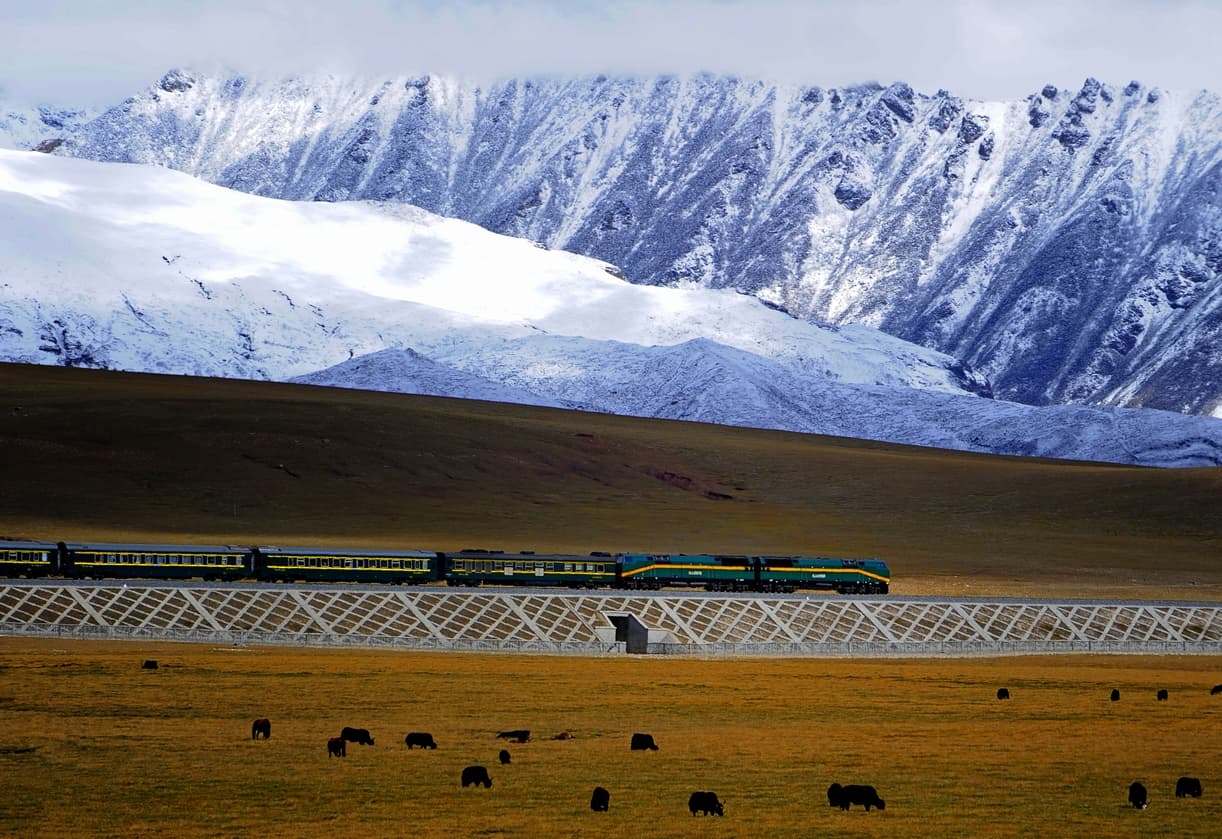
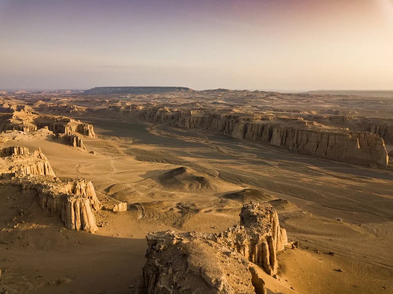
From the forest and farmlands in the northeast to plateaus and snow mountains in the southwest ; from oases and deserts in the northwest to rivers and hills in the southeast ; as will as the historical sites from thousands of years ago and modern archtectures all over the country, this list can be real long. Anyway, there are so many nature landscapes and human landscapes in China which will worth the effots of bring them into the world of MSFS.


Wish you a good day 
3 Likes