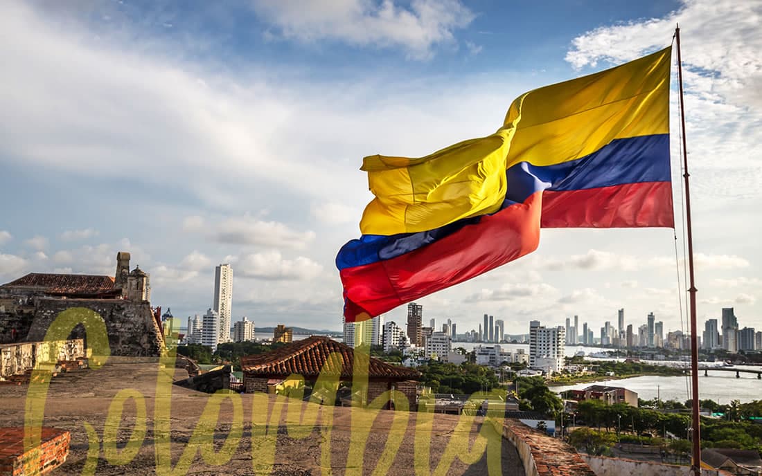
Colombia is one of the most biodiverse countries in the world, we have a rugged geography that has airports for all tastes. However, currently in the simulator much of its territory is without Bing satellite images or they are outdated.
This is why we wish a worldwide update to collect better mesh, better satellite imagery and better water masks would go a long way in improving the flight simulation experience in this amazing part of the world.
Those are rumors only. I am a moderator and I don’t even know what the next world update will be. It’s listed as “Planned” on the 90-day feedback snapshot (#7):
The team previously publicly communicated an intention to update the entire world, so this “Planned” status does not give any information on when this update will happen. It could be the next world update, or it could be two years from now. I just want to make sure expectations are set accordingly.
I have flown many times here in Colombia, and most of the route I do is AXM - BOG - AXM and much of that route looks horrible, and I would really like them to improve the terrain or texturing of it to a more updated quality , because the truth is, even if I want to go VFR or IFR, I am very embarrassed to have such horrible quality in our country, it is as if they do not care much about some countries, I have seen that they make improvements to Europe, Asia, North America , or half of Central America, but I haven’t seen any updates from South America
Reference photo is already published by user: johnmnv
It’s usually not MS that doesn’t care about your country, it’s more your government that doesn’t provide good photo and dem data. So ask them to care more about your flightsim needs ! If the data is available, MS will do it, as proven by all available WUs.
There are a lot of very interesting airports in Columbia, which I already bought as scenery:
SKPS, SKBG, SKMD, SKBO, …
I would appreaciate to improve this country.
But I don’t know about the availability of good aerial images to do this.
We still need a world update or fix for the photogrammetry in Colombia and other South American countries. Clouds are still visible on the terrain, and I expected this to be resolved with MSFS 2024, but it wasn’t.