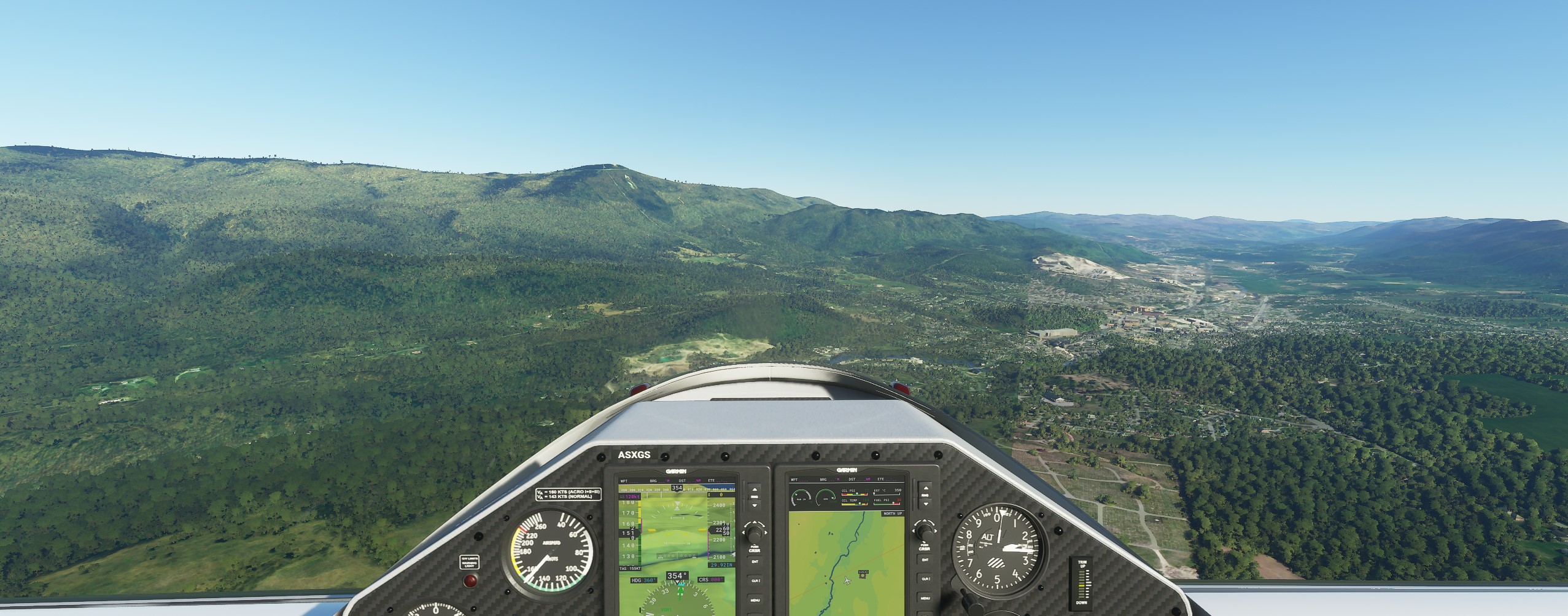
Flying around in my area, the Bing satellite data is literally 10-15 years old. There’s a overlay of 2 images taken at different times of year and you easily see the color change in FS2020. Are there plans to update the satellite data to something a little more recent? By doing so the resolution of the terrain will go up as well. Also, There is a monument at the top of a mountain that looks like a light house. In FS2020 it autogenerates a round hut like something from a Indian reservation. Is there a group who fixes issues like that or is that something end users can do?
4 Likes
Also, would like to see an answer to this question.
1 Like
These guys might be what you are asking about…
its more up to date than Google in my area of rural uk about 2/3
months or so old
Quality and currency of the satellite imagery really varies from area to area. Flying around my general area, I see the newest imagery is about 2 years old. I can tell that by construction projects. The oldest I can see are about 10 years old. I can tell by some stuff that’s in the sim that hasn’t existed in real life for about a decade (buildings that have been torn down, highway exchanges that have been re-routed).
And of course, resolution of that imagery is hit or miss as well. Some of it is < 1m and with enough detail for the AI to generate some really convincing buildings and features. And some of it is low res multi-meter scale and the AI generated scenery is random garbage that makes no sense.
But the good thing is, as Bing maps is updated over the coming years with higher resolution imagery and more photogrammetry, MSFS should evolve and improve along with it. For the most part, Google Maps is far superior with generally higher resolution satellite imagery for more areas and way more photogrammetry. They’ve been at it longer than MS have with Bing. And they likely always will be better overall. But MS will get there eventually.
1 Like
First off, I’m loving the new MSFS 2020 - but here is my favorite map/airport oddity in my backyard. Cincinnati Blue Ash Airport was closed in 2012, and the land has since been commercially developed. When you fly over, the airport still shows up as active - the runway and even some planes are present. But some of the new commercial development is also there on both ends of the runway. Talk about a challenging landing!(upload://ndAhNGxKcdNCsgOunV11viWfC8H.png)