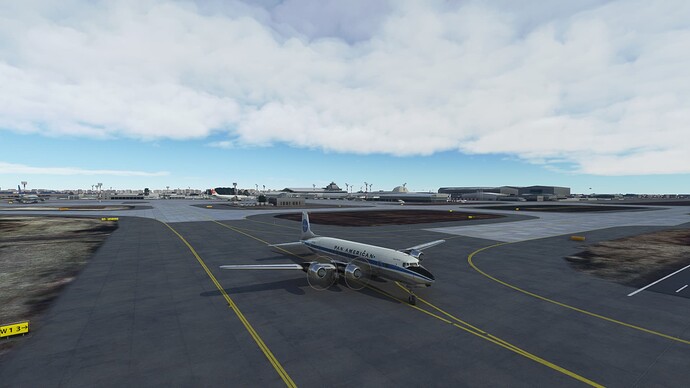
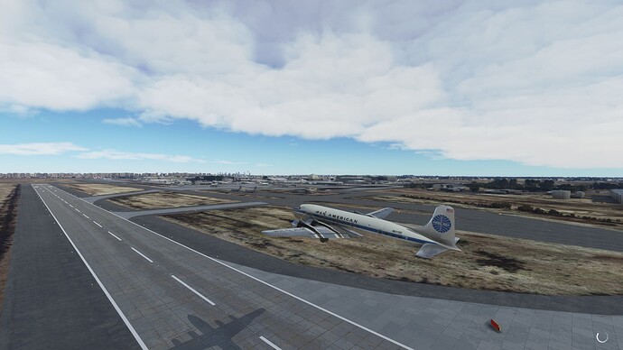
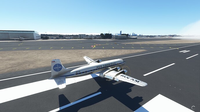
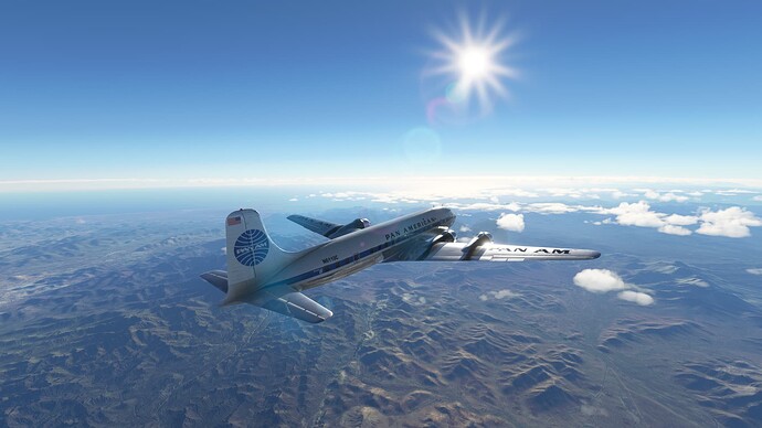
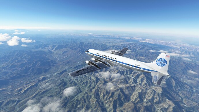
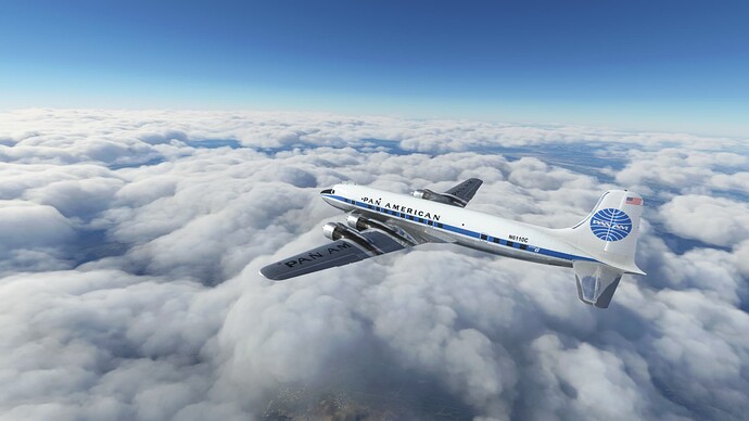
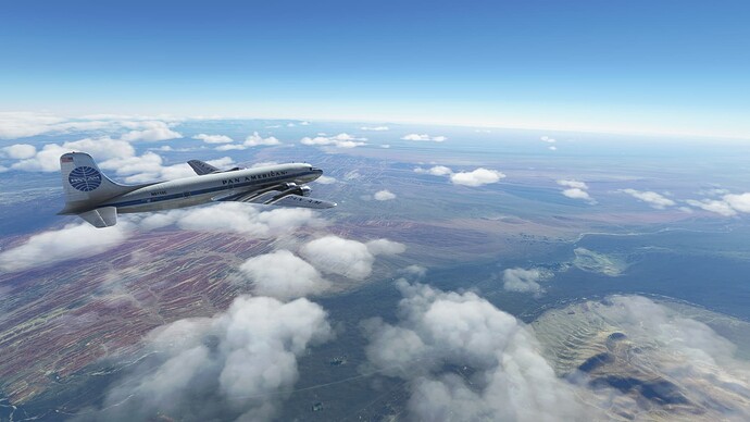
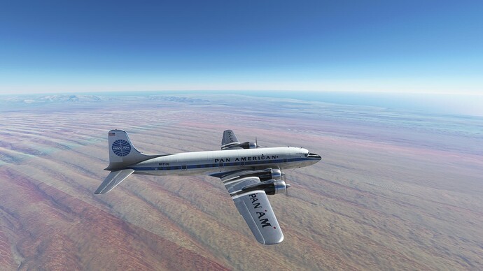
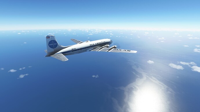
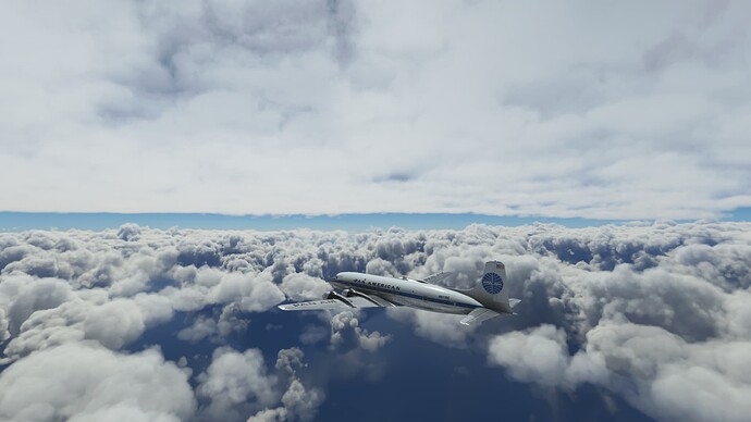
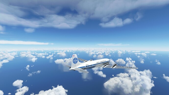
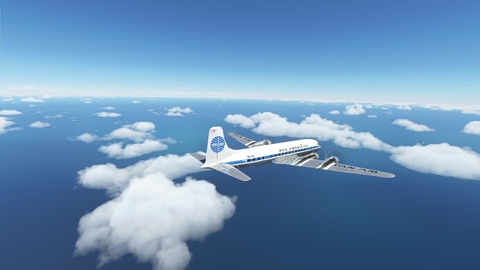
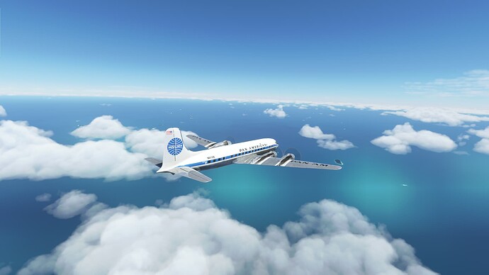
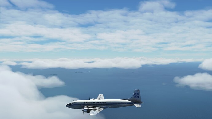
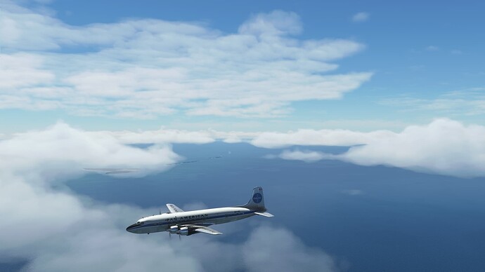
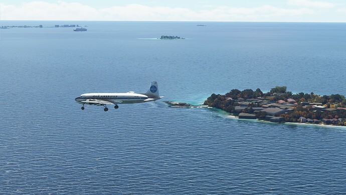
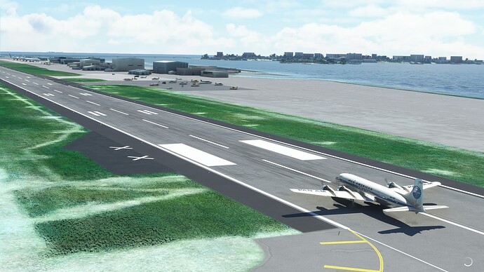
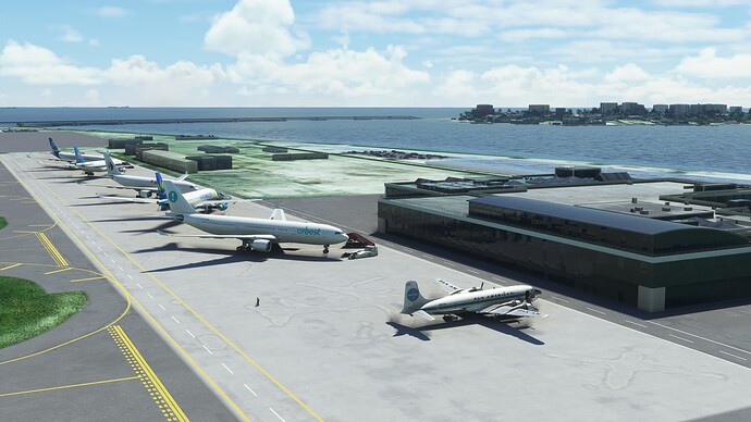
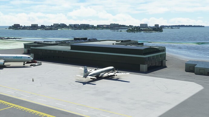
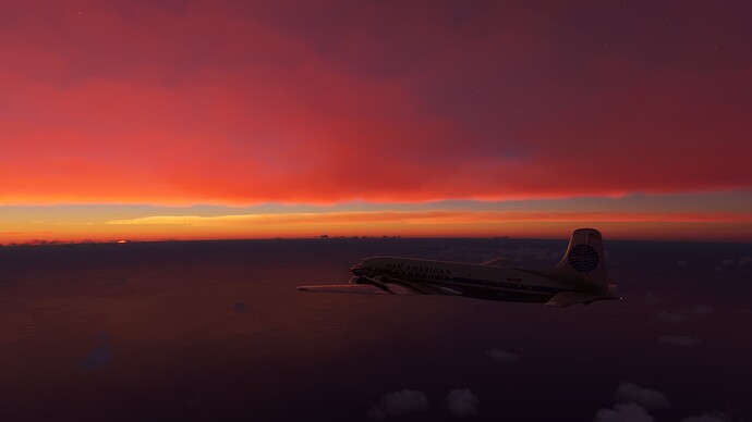
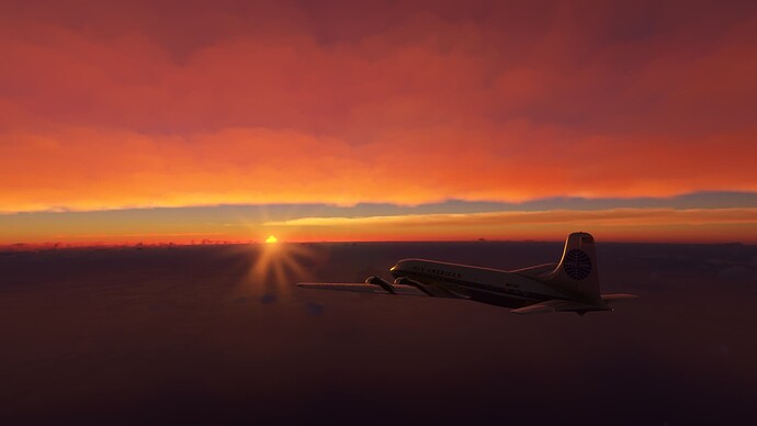
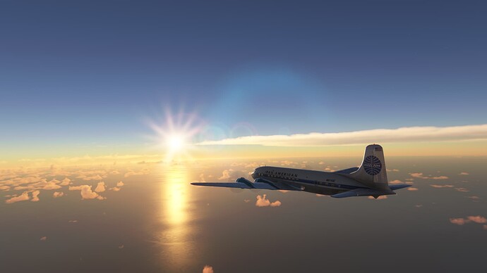
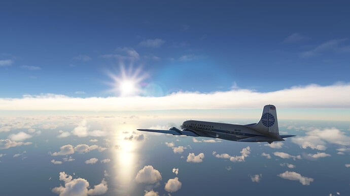
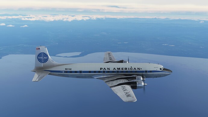
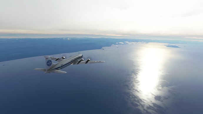
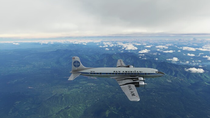
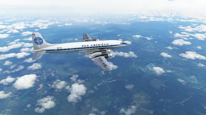
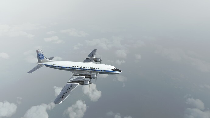
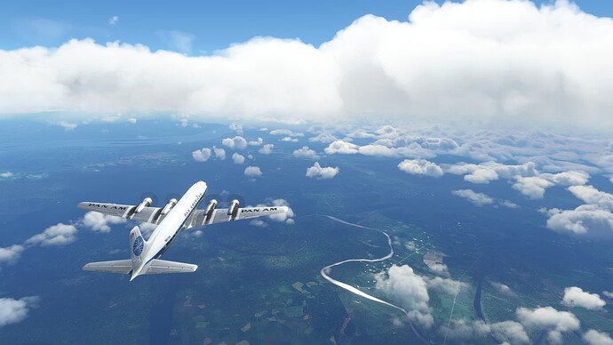
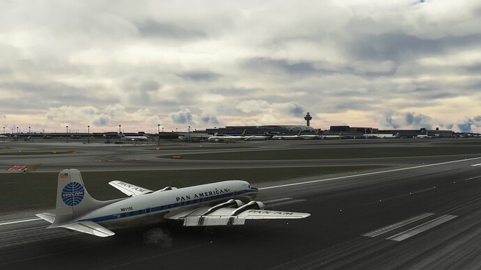
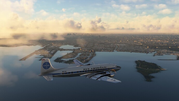
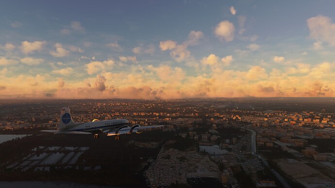
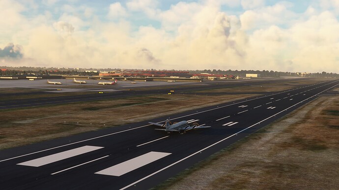
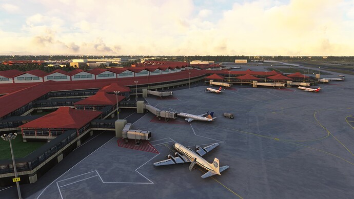
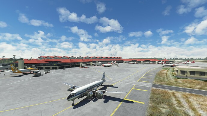
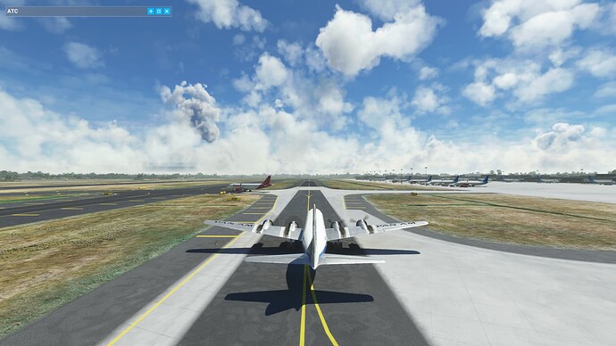
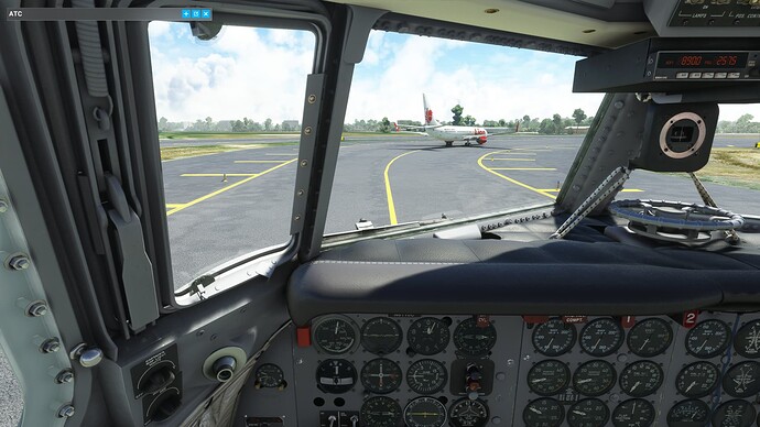
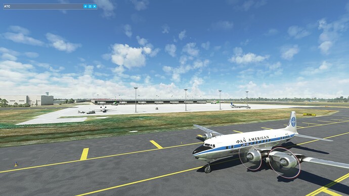
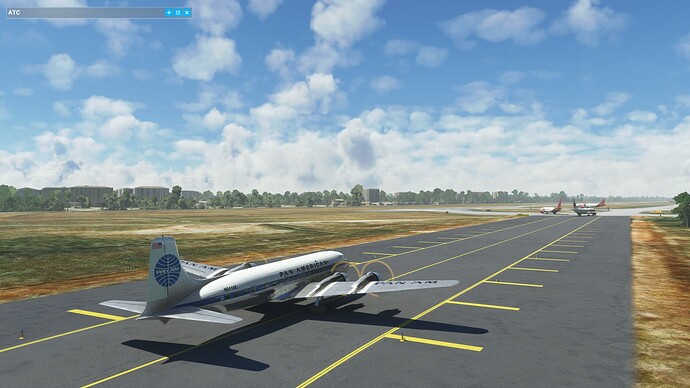
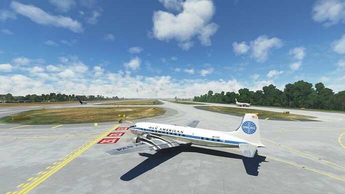
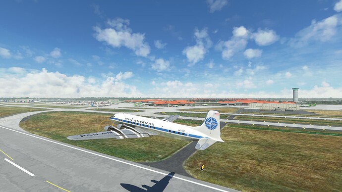
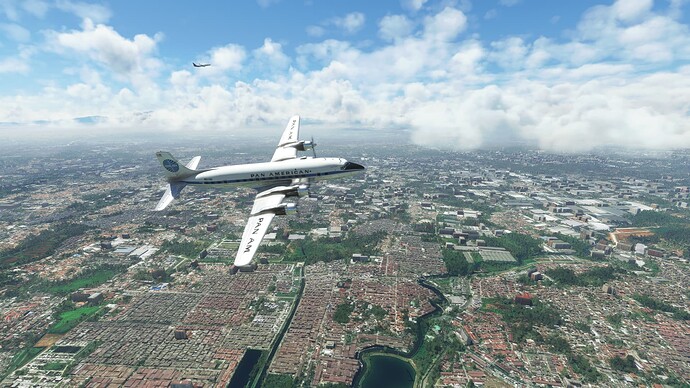
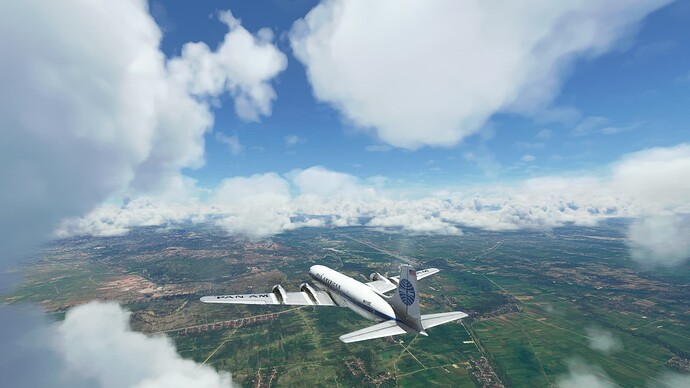
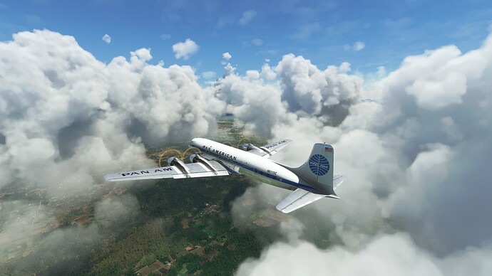
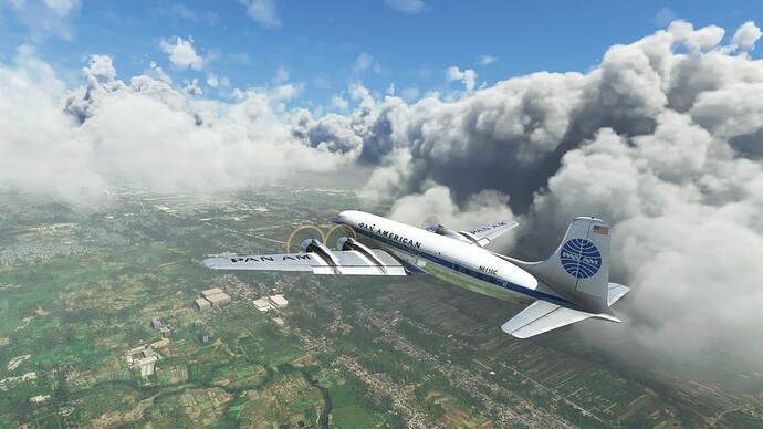
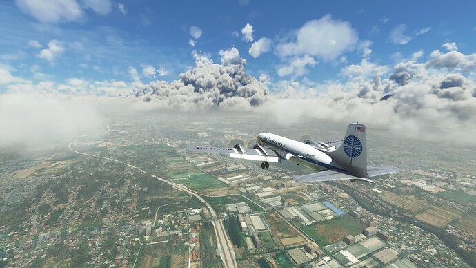
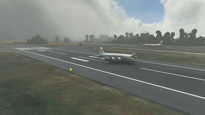
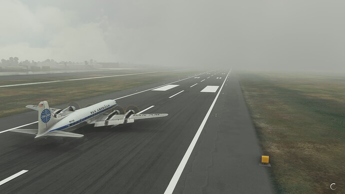
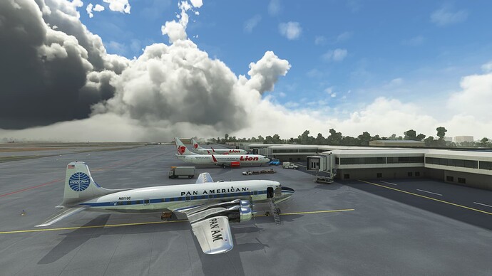
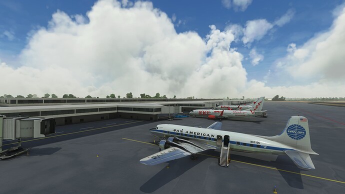
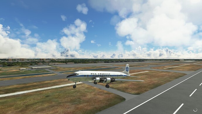
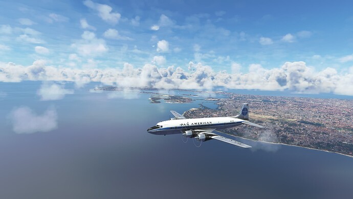
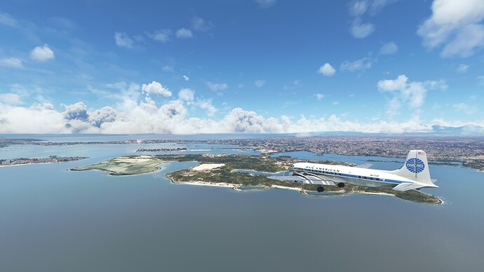
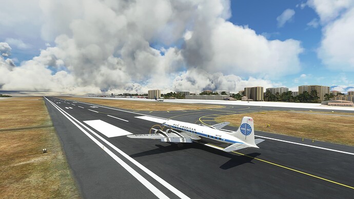
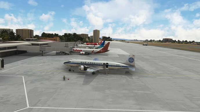
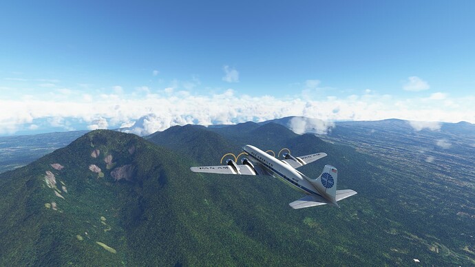
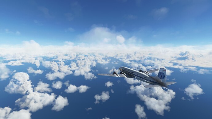
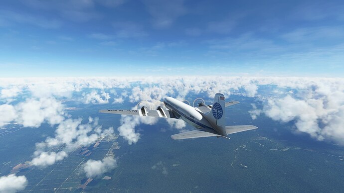
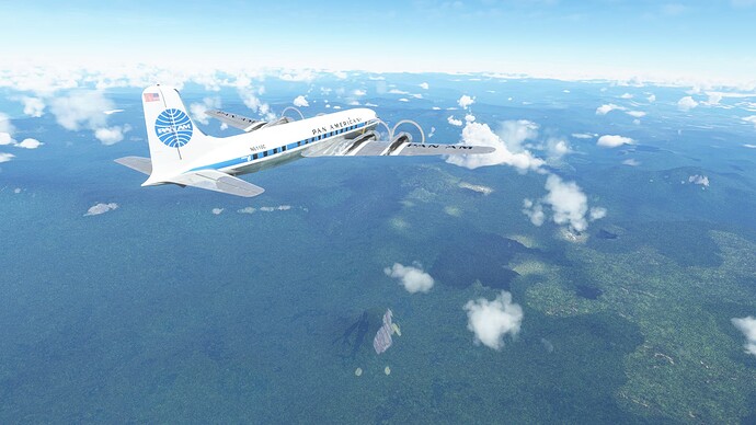
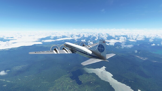
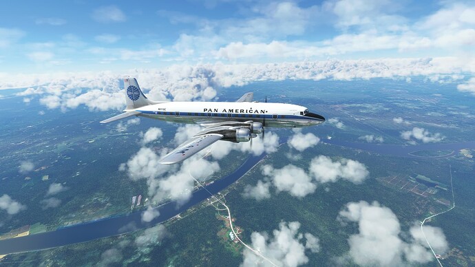
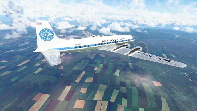
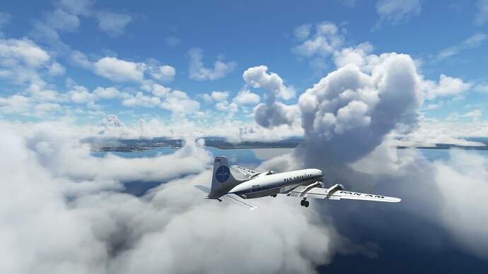
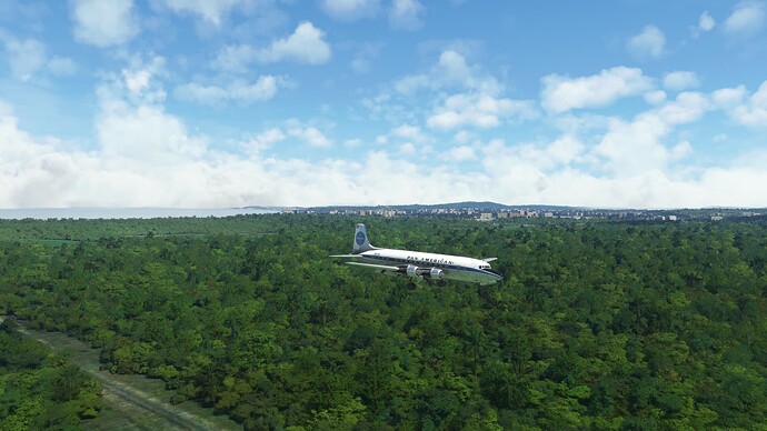
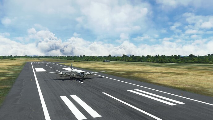
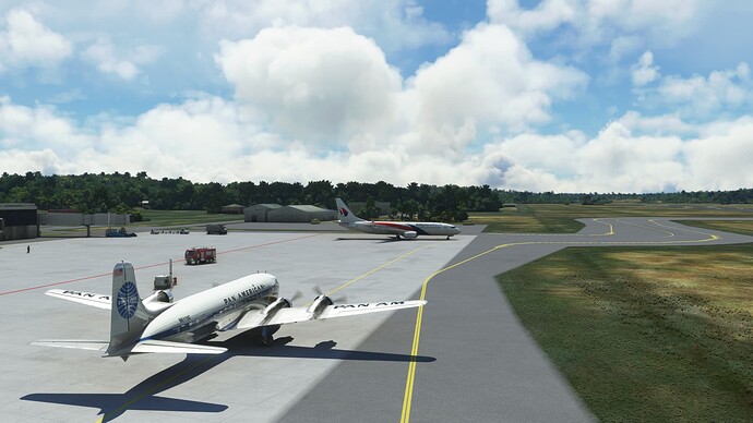
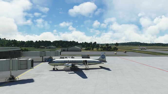
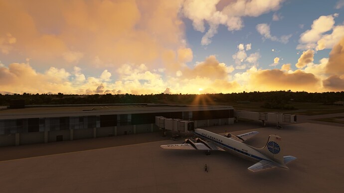
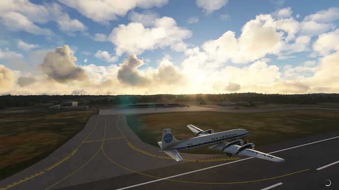
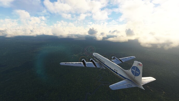
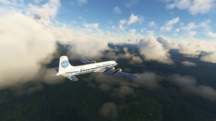
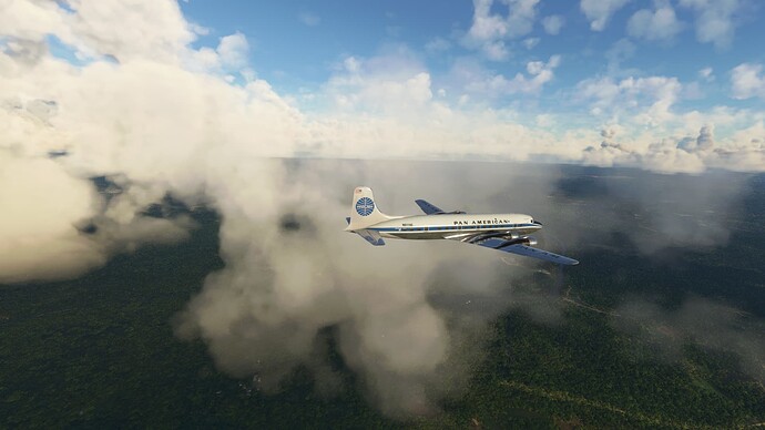
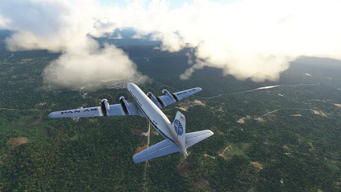
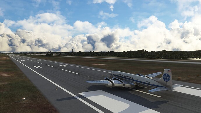
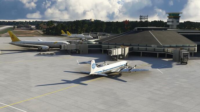
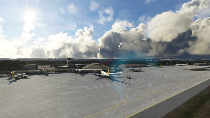
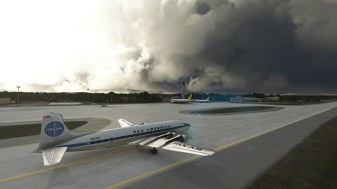
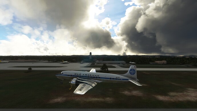
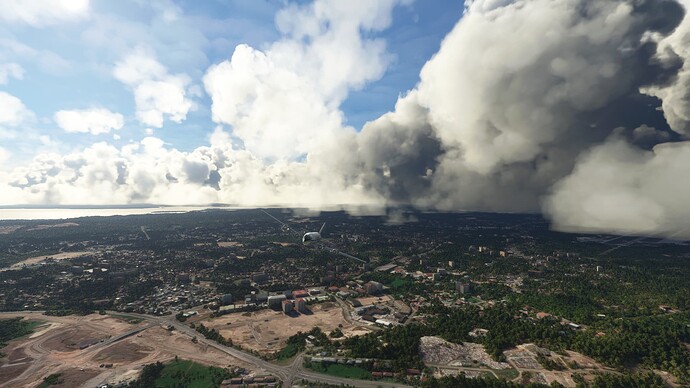
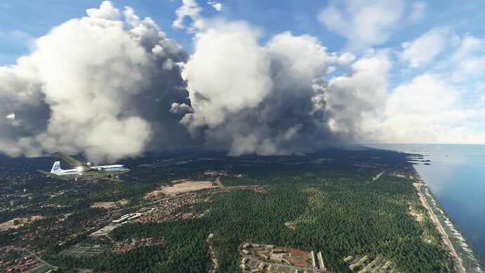
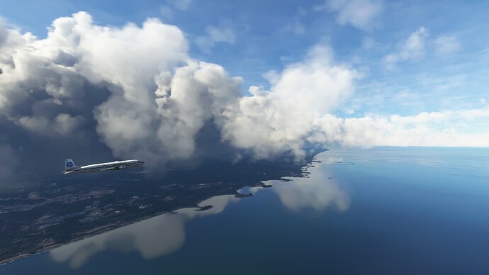
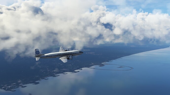
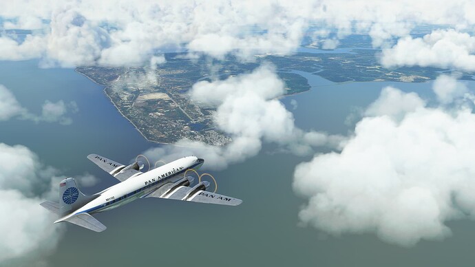
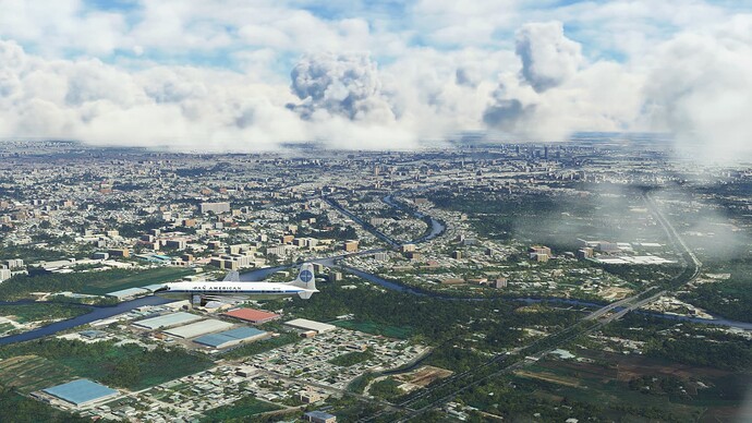
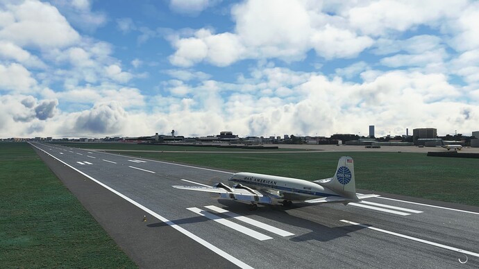
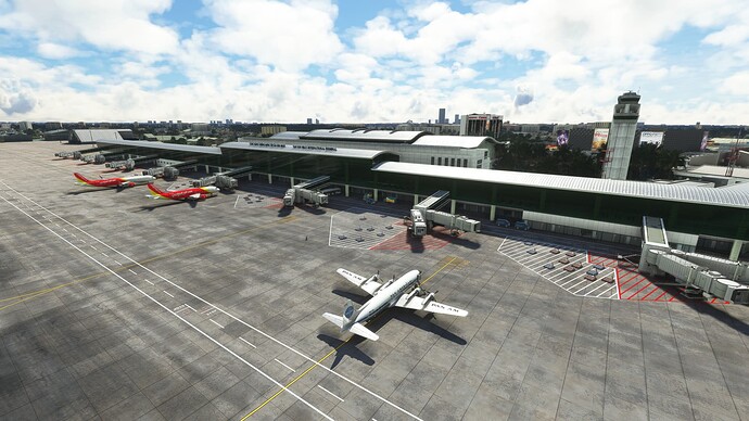
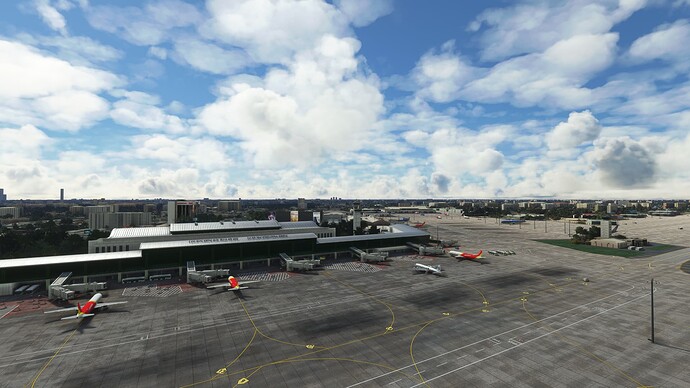
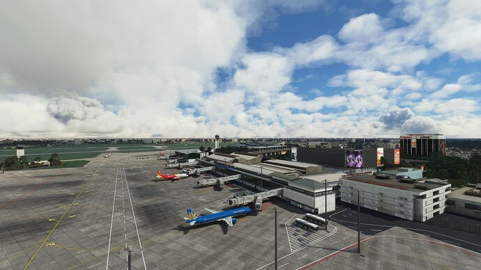
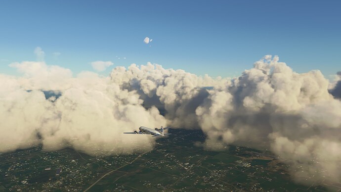
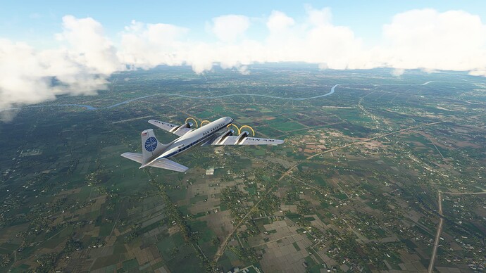
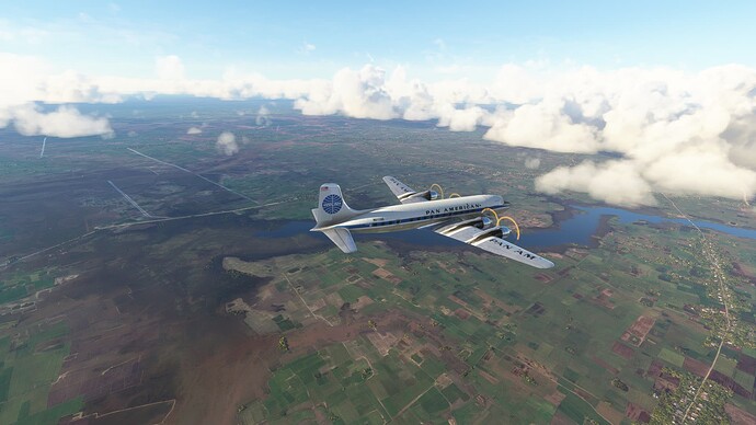
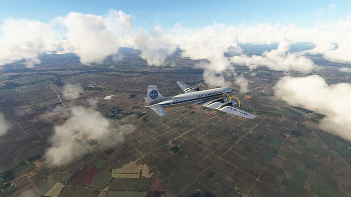
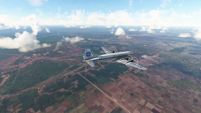
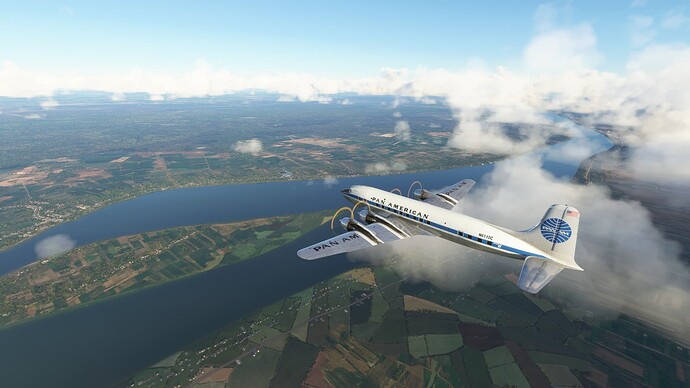
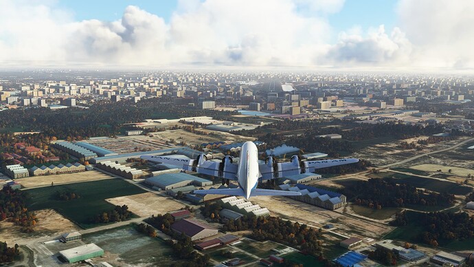
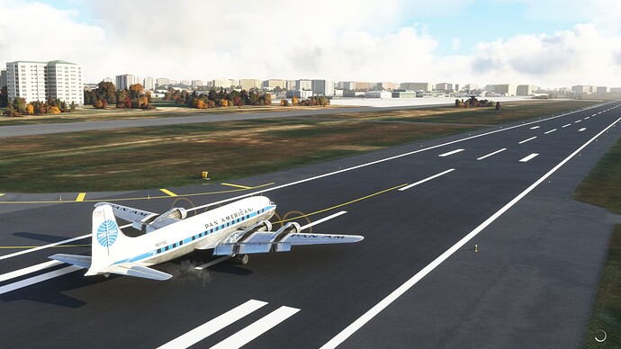
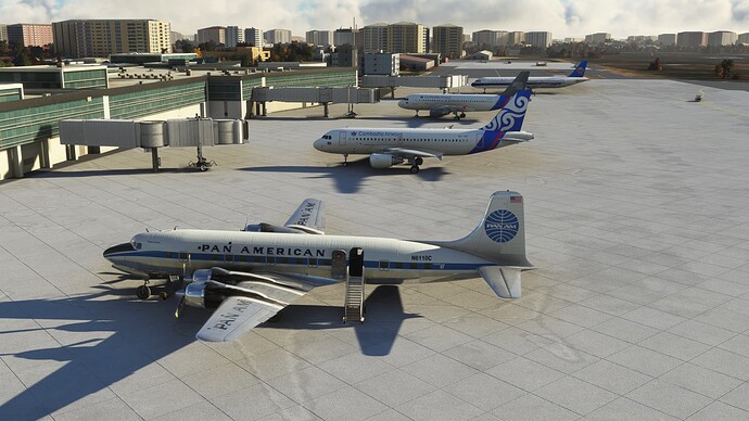
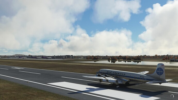
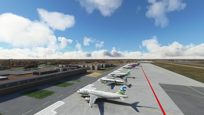
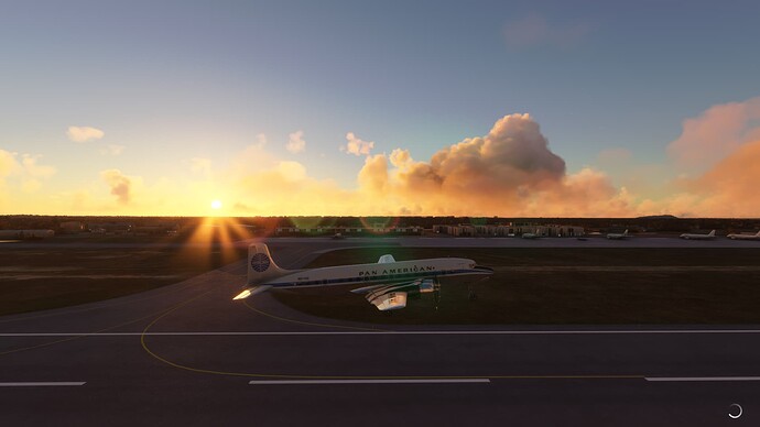
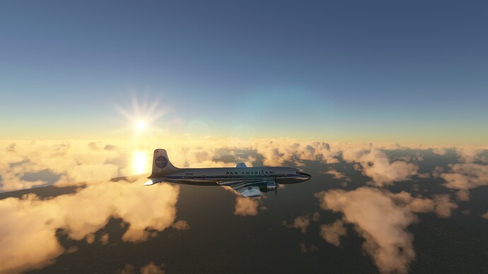
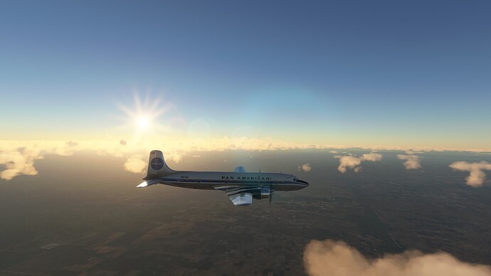
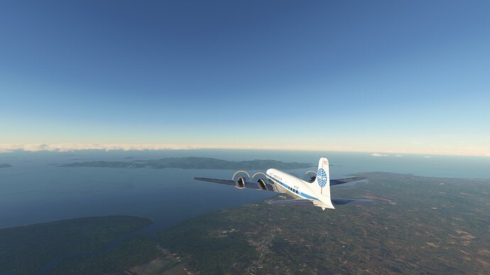
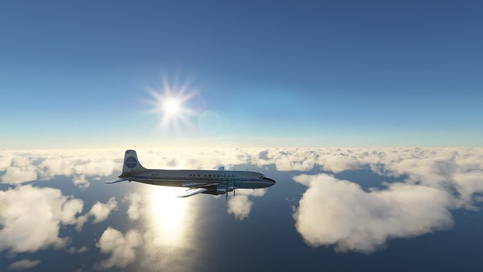
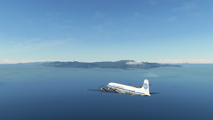
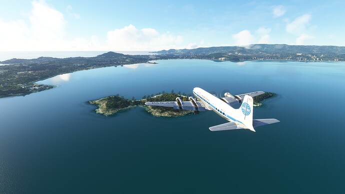
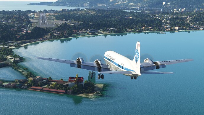
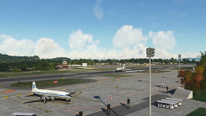
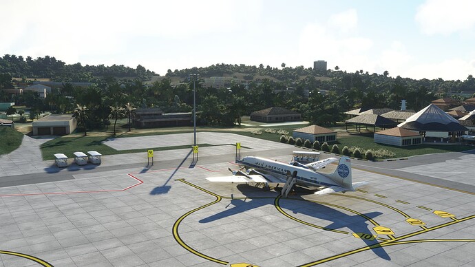
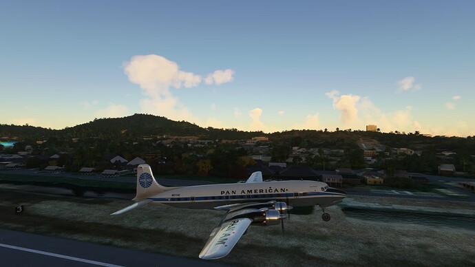
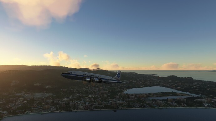
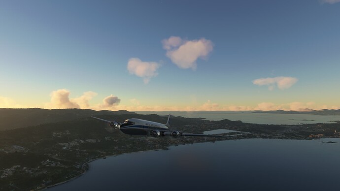
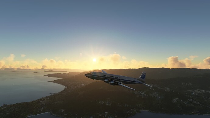
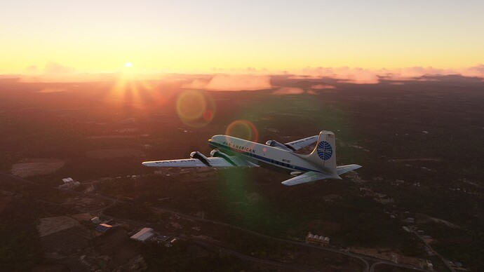
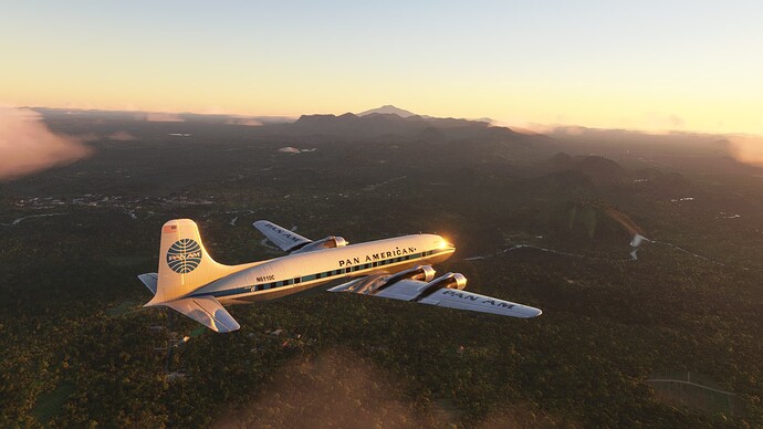
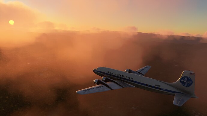
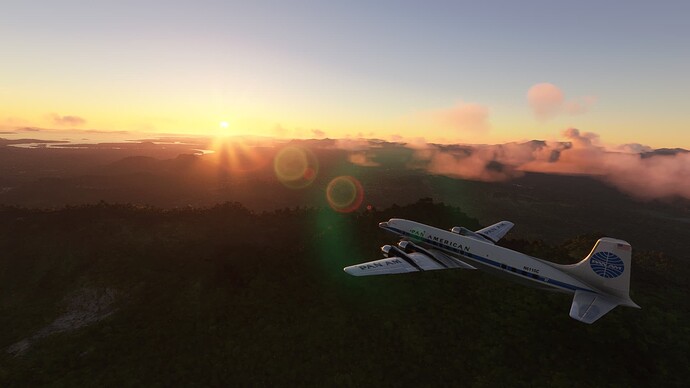
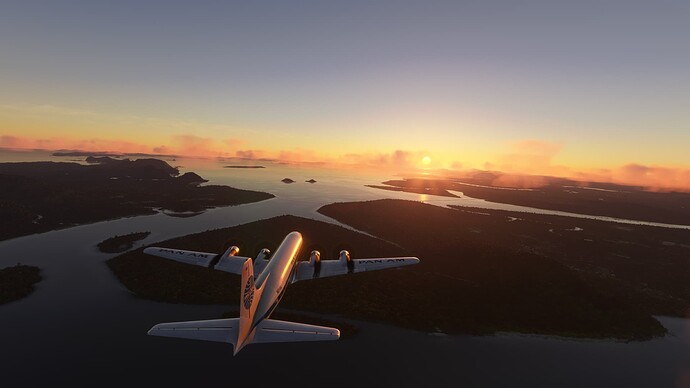
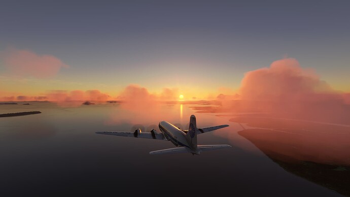
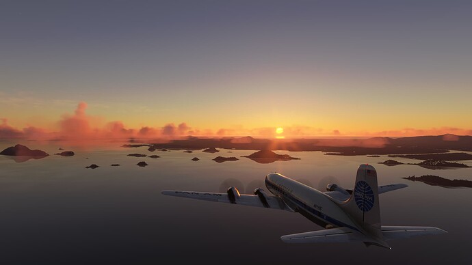
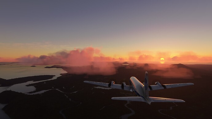
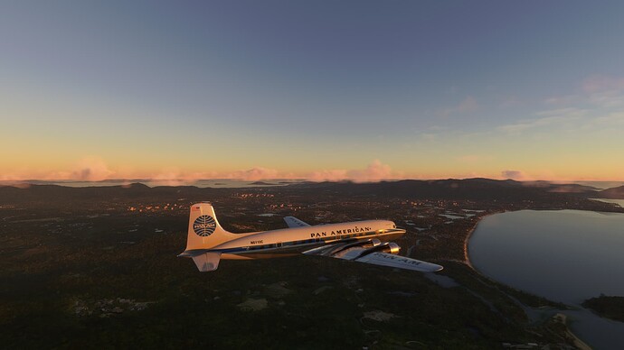
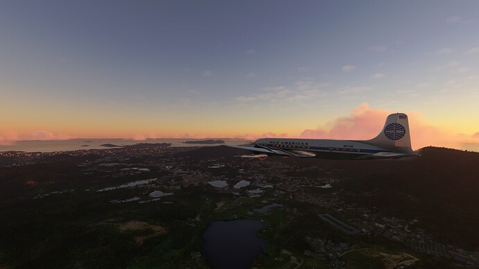
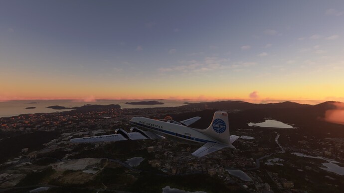
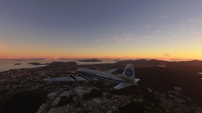
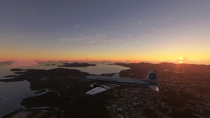
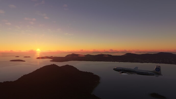
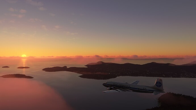
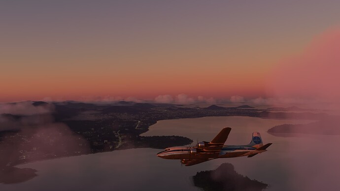
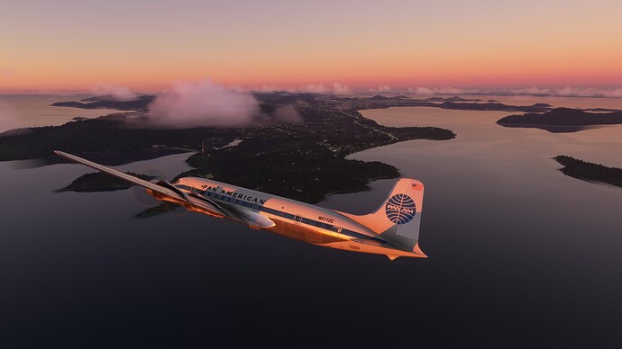
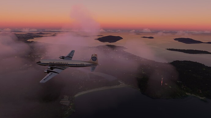
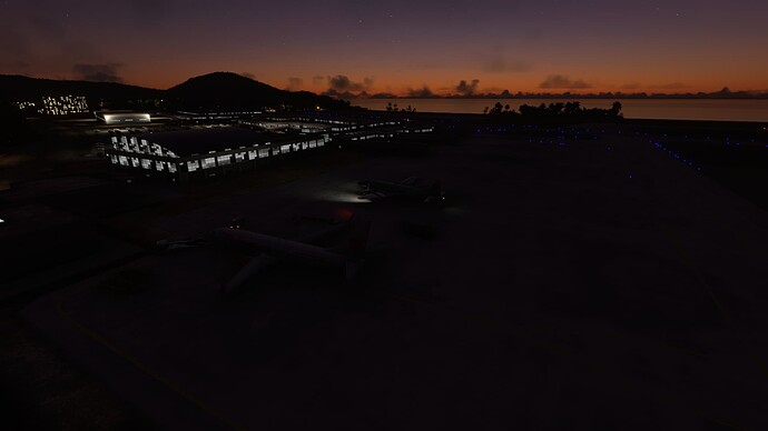
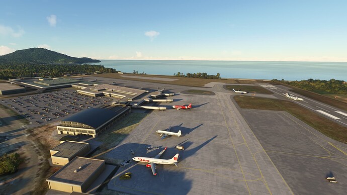
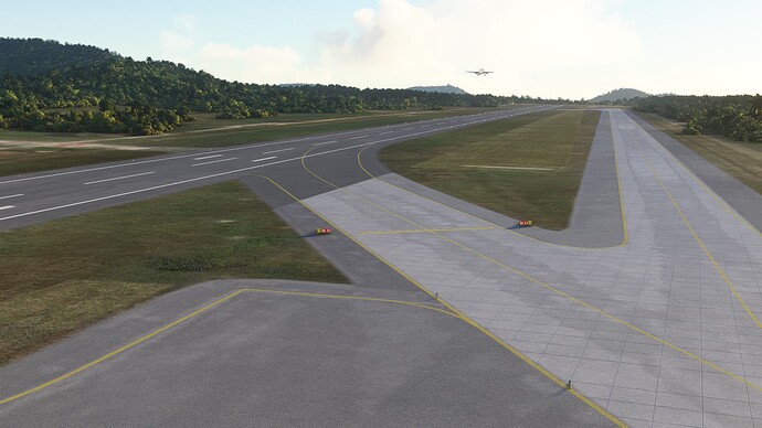
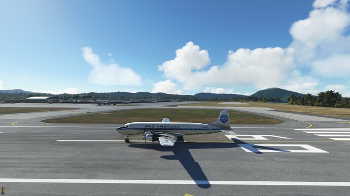
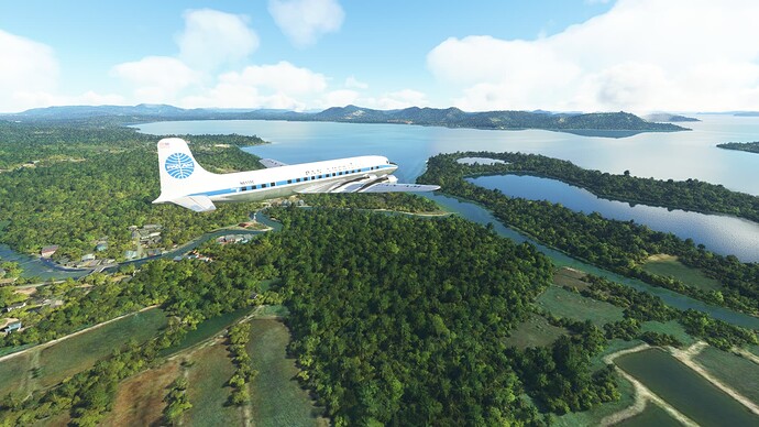
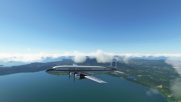
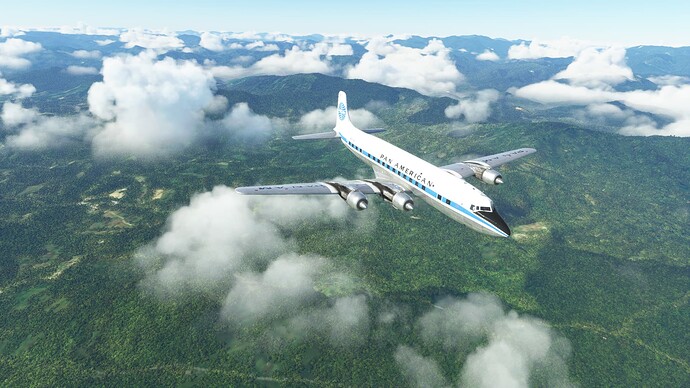
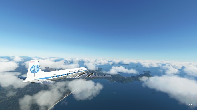
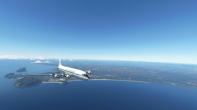
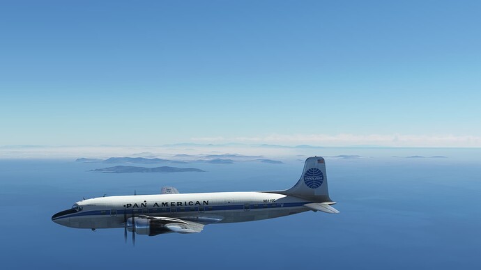
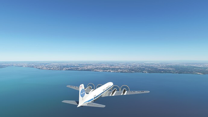
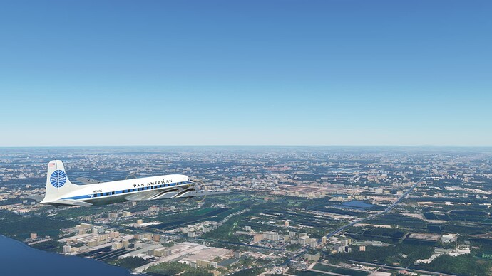
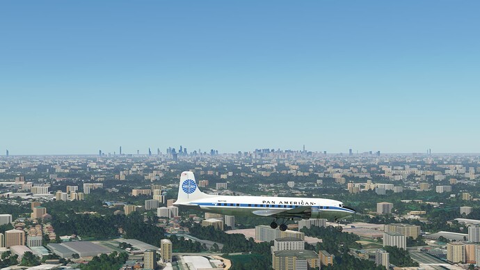
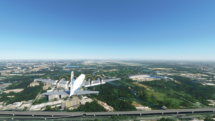
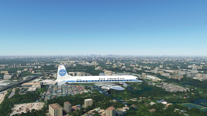
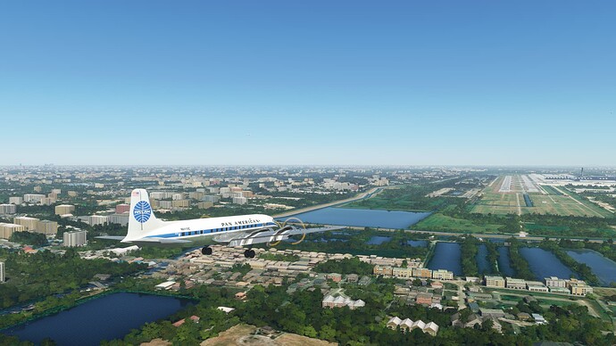
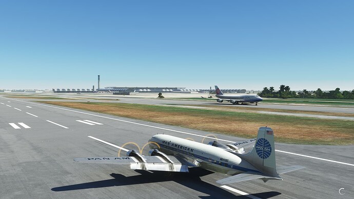
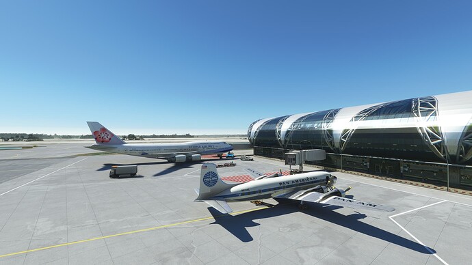
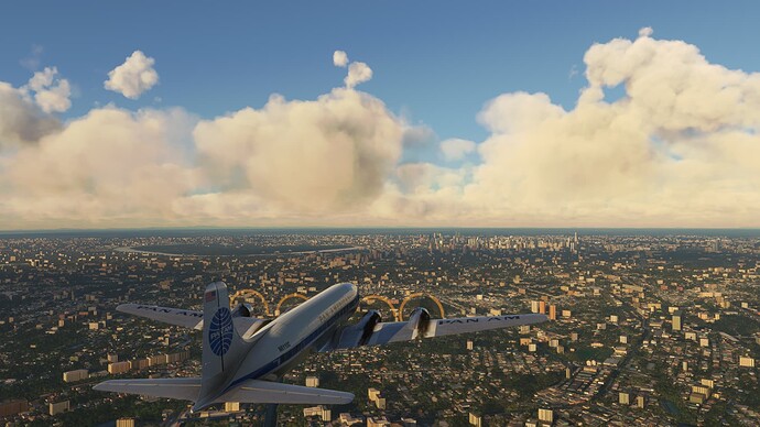
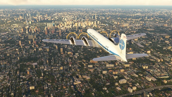
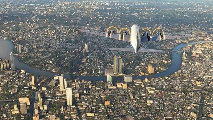
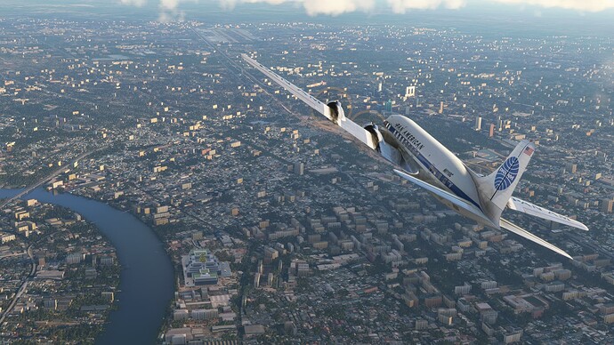
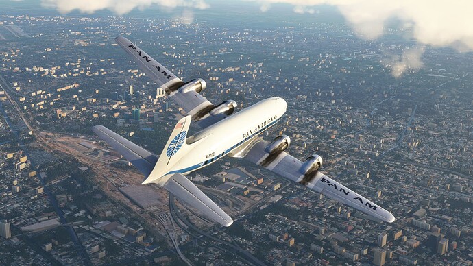
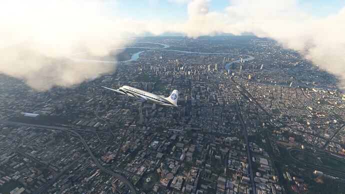
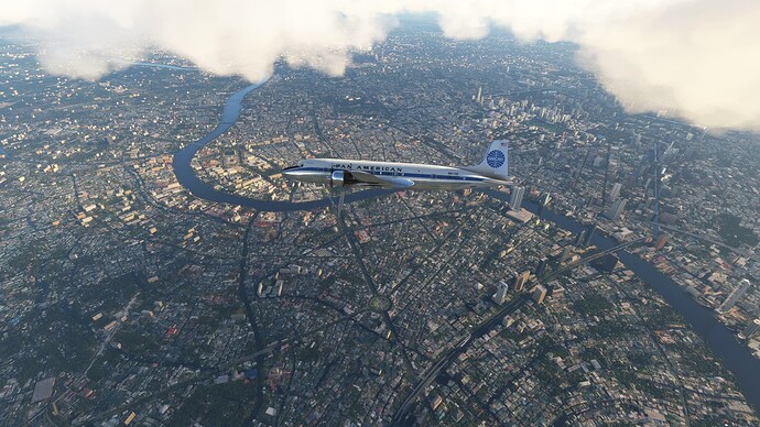
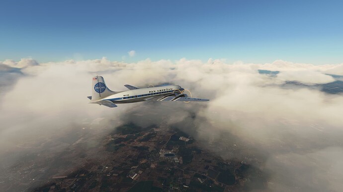
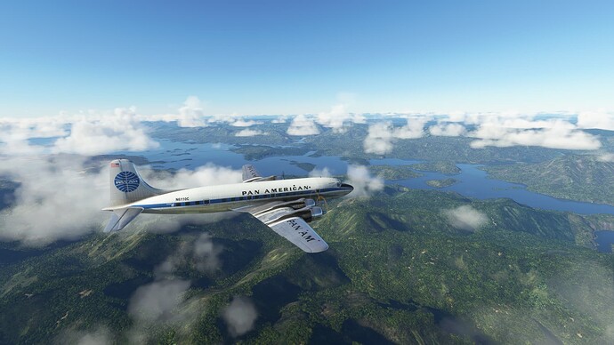
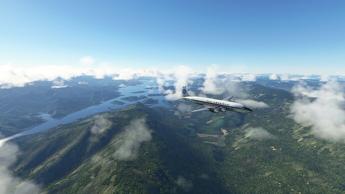
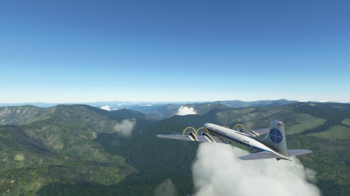
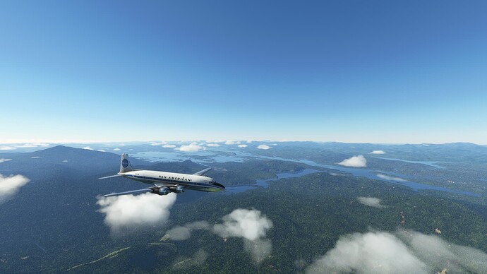
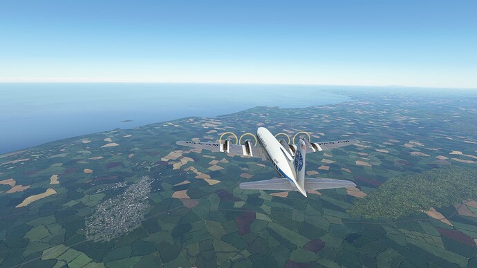
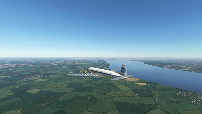
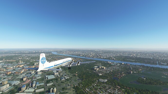
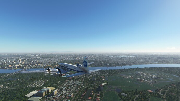
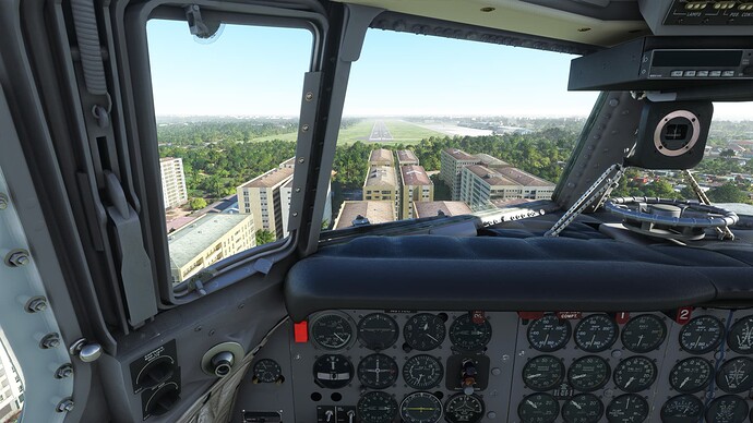
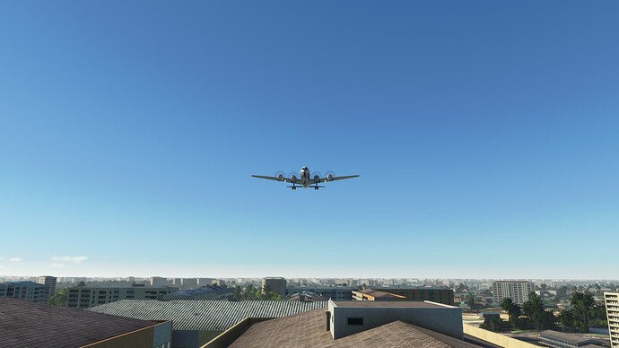
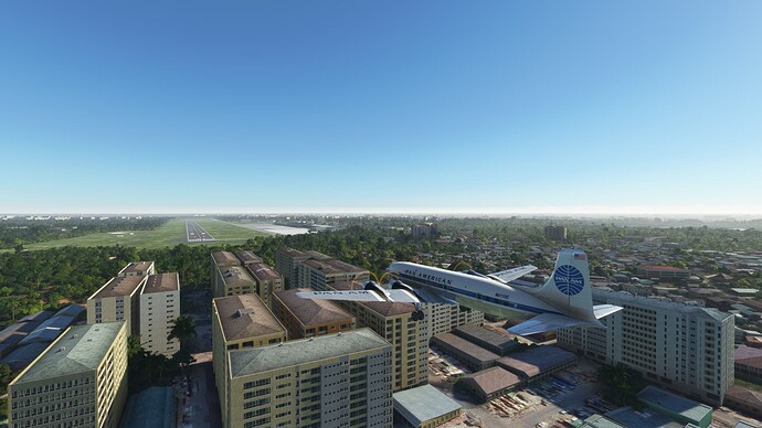
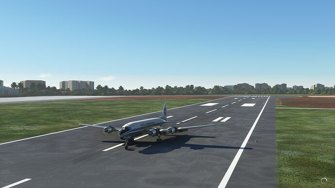
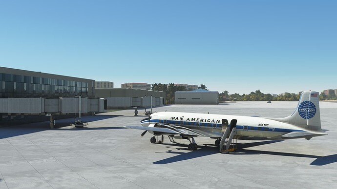
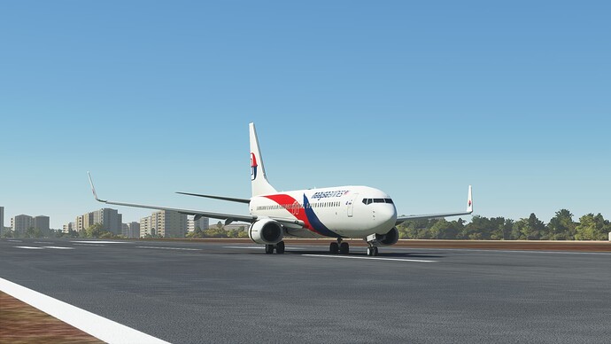
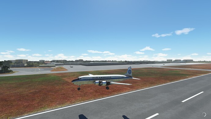
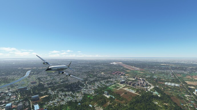
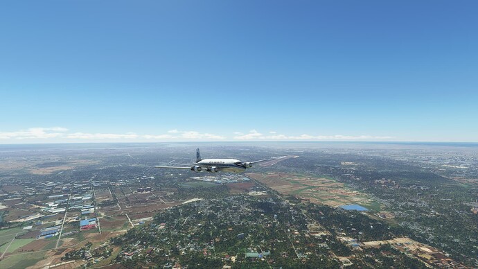
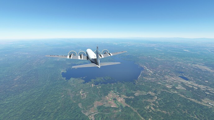
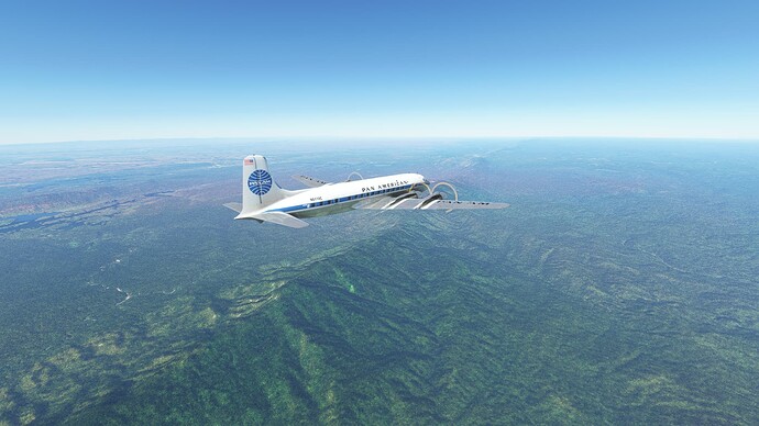
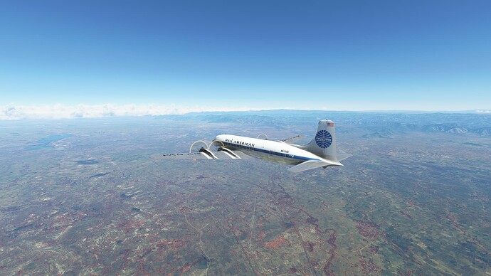
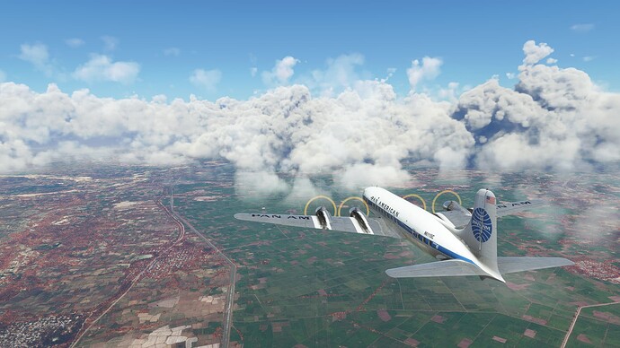
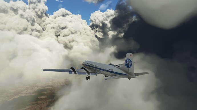
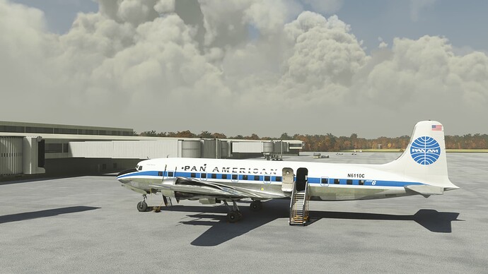
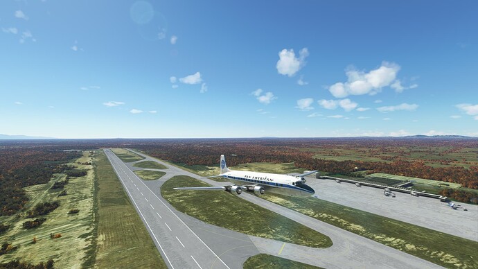
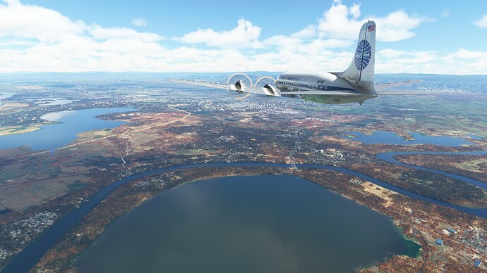
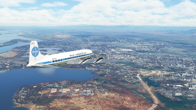
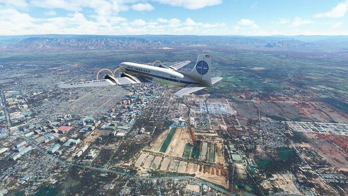
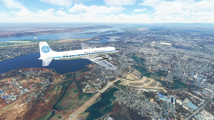
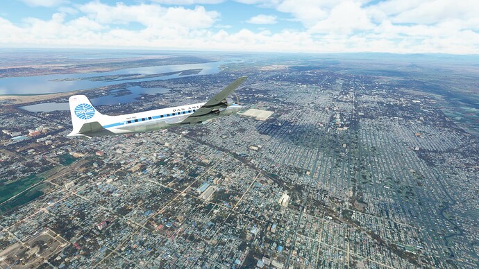
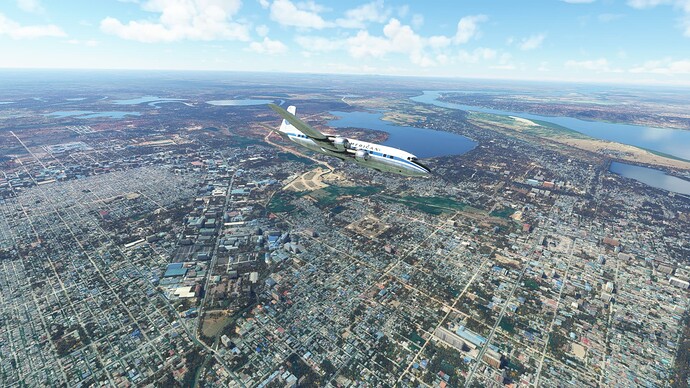
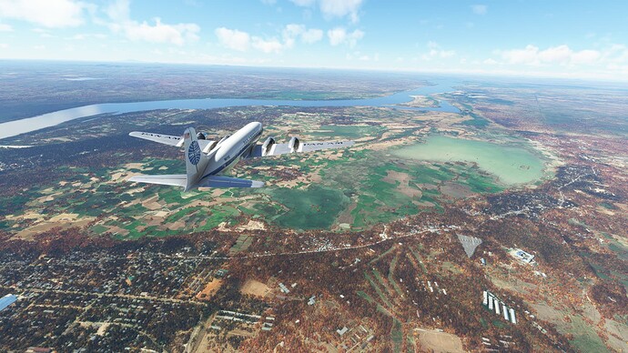
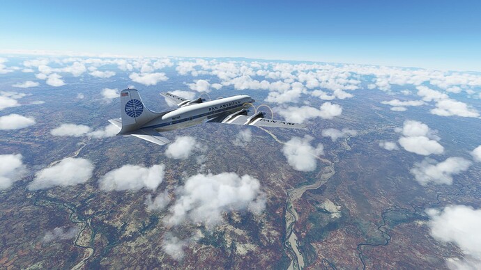
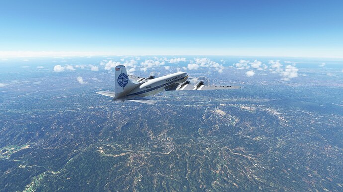
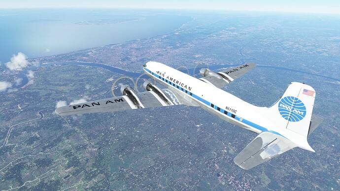
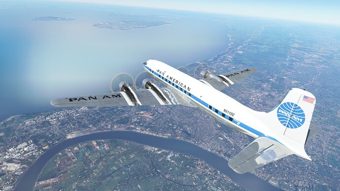
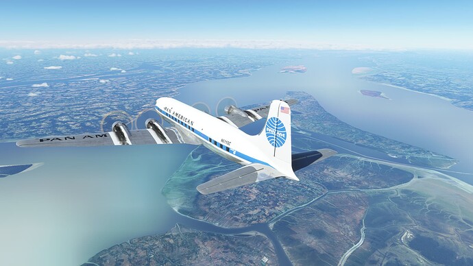
Starting the long taxi down to RWY 33L OKBK.
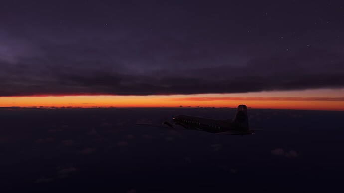
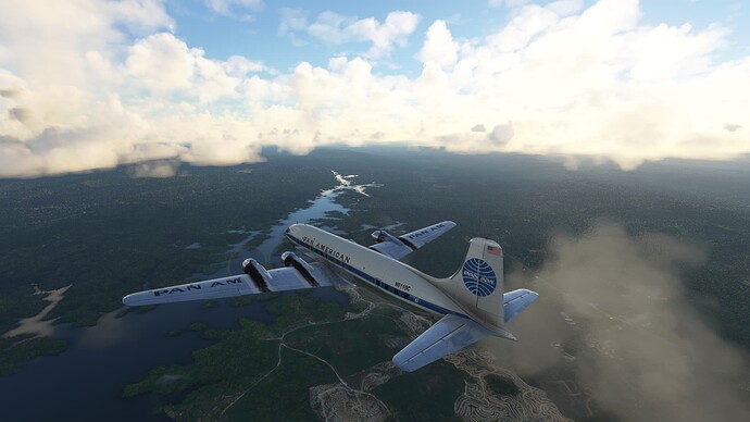
Color us gone from Kuwait.
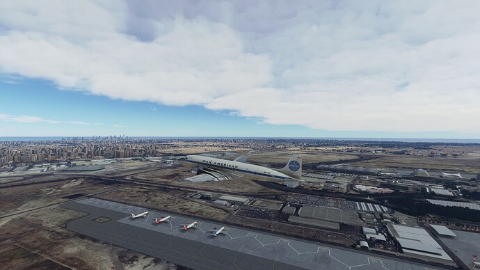
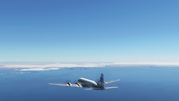
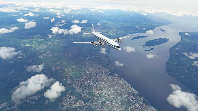
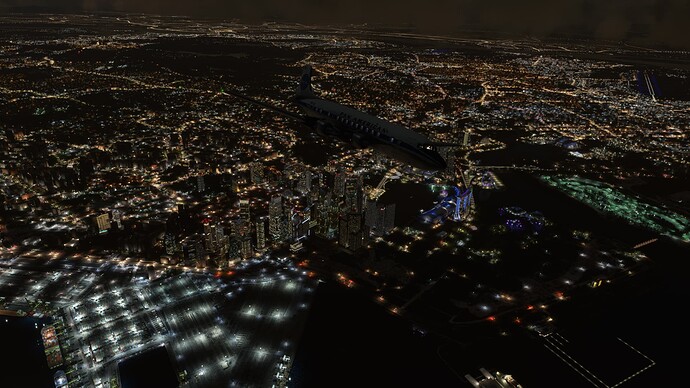
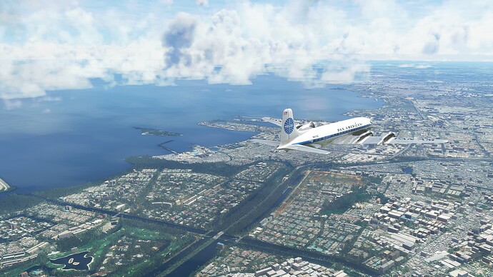
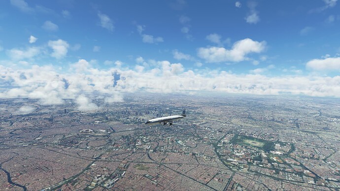
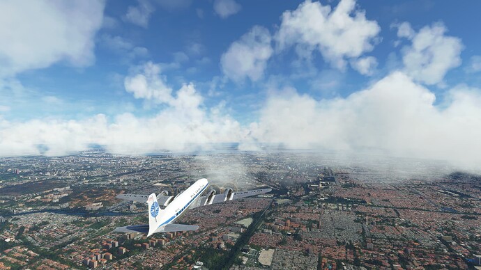
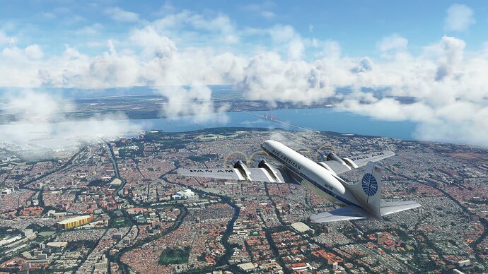
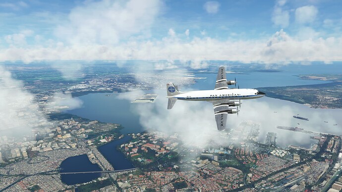
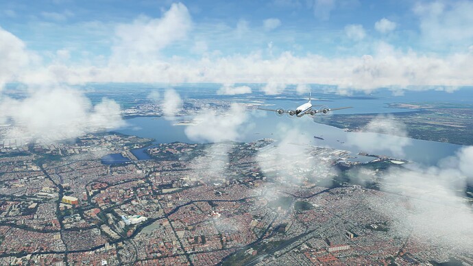
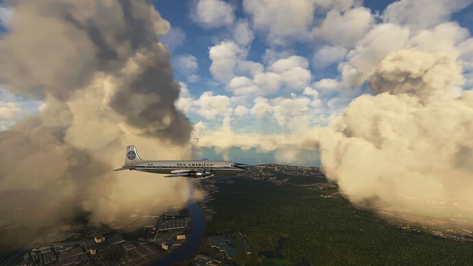
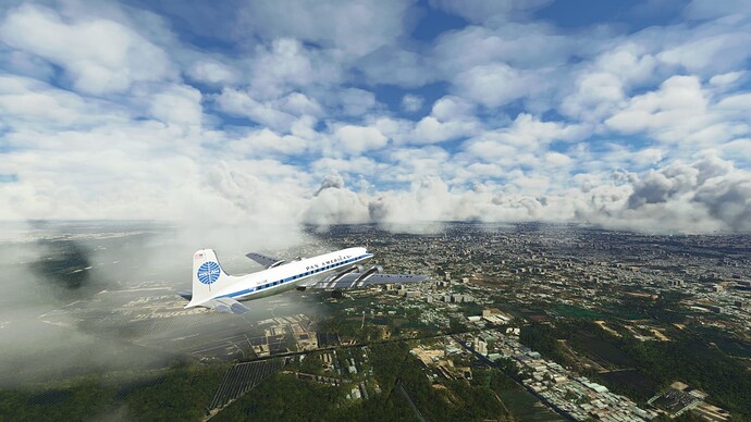
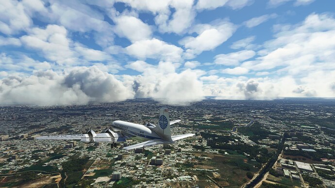
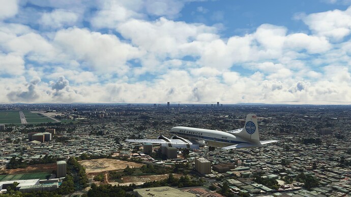
Last views of Kuwait City, Kuwait.
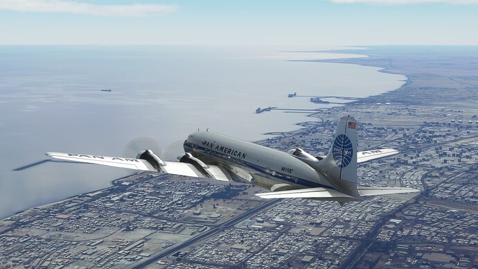
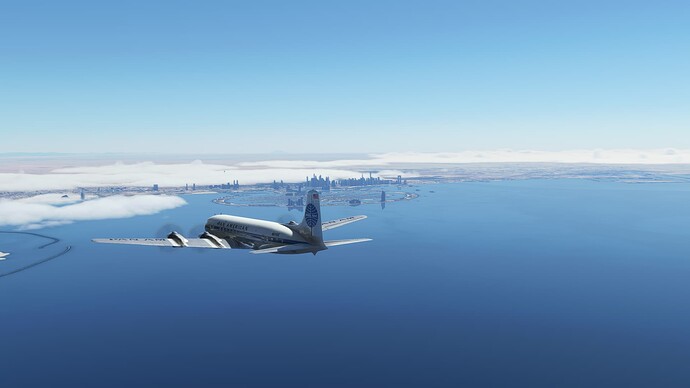
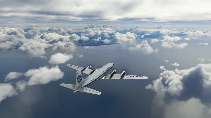
Heading out over the Persian Gulf, where we will be for the next 450 nm or so until we get to Dubai.
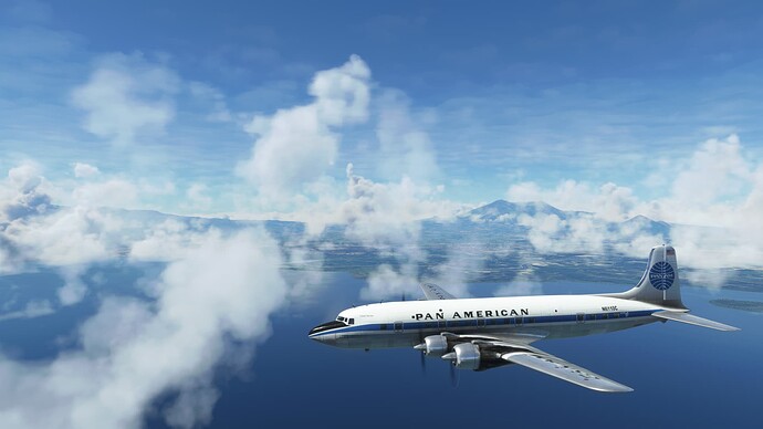
The coast of Iran in the distance.
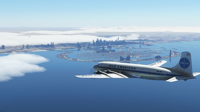
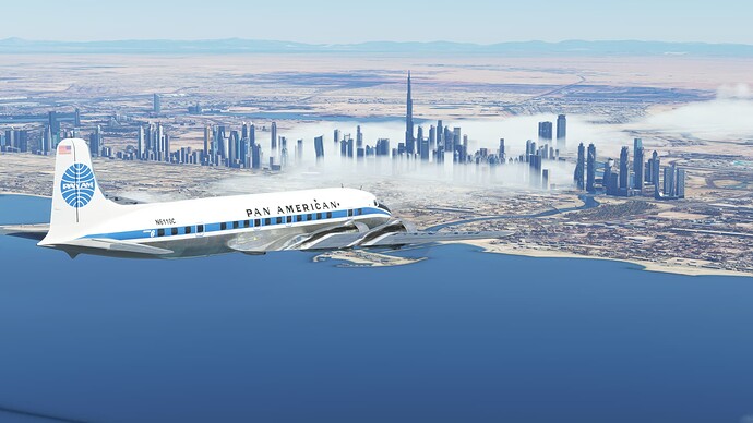
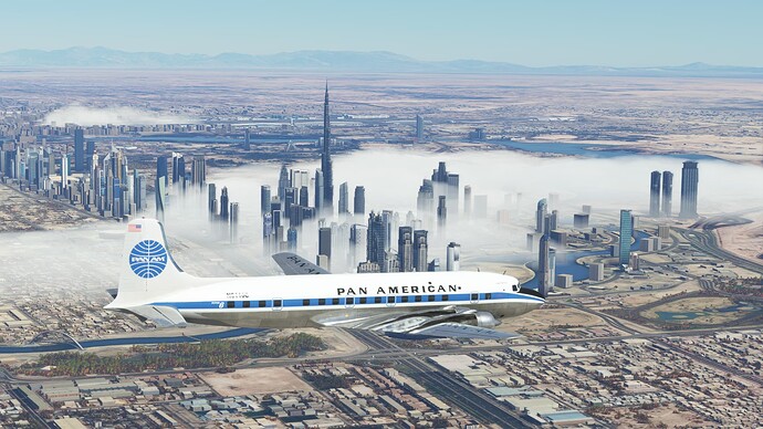
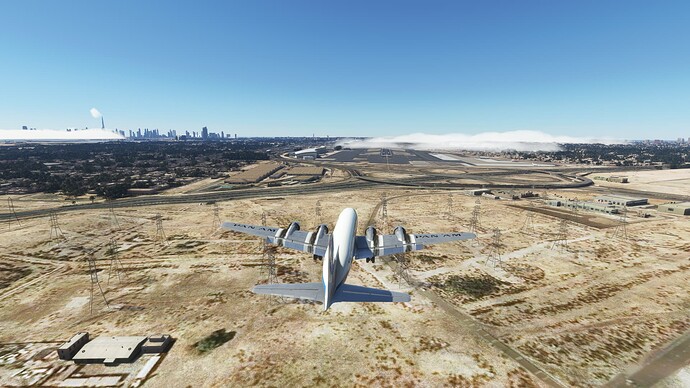
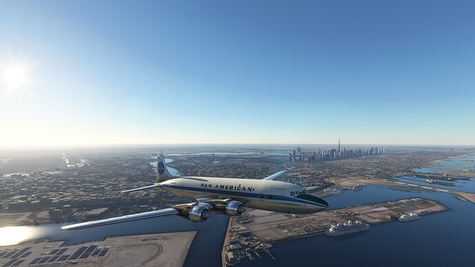
Dubai in the distance.
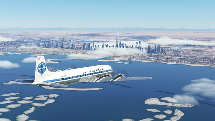
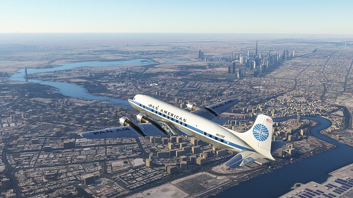
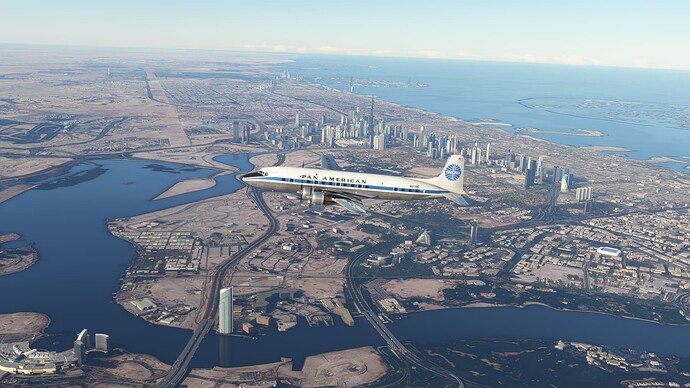
Dubai, United Arab Emirates.
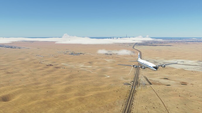
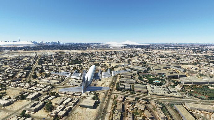
Heading outbound before turning back in to intercept the localizer for OMDB ILS RW30L.
The desert and the mountains in the background are pretty.
On final for RWY 30L.
Crossing the power lines.
About to touch down.
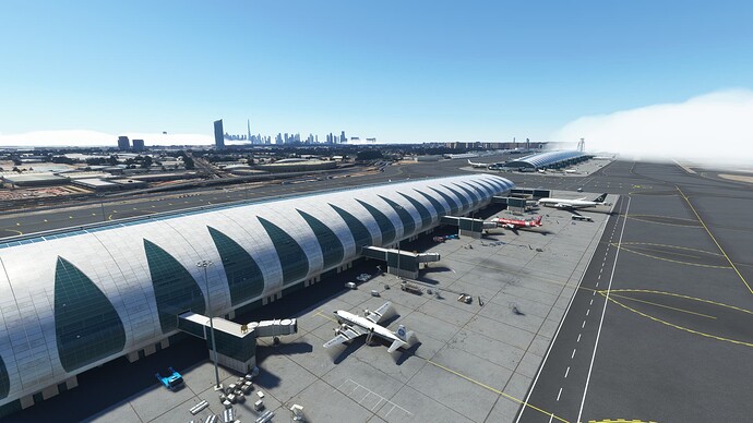
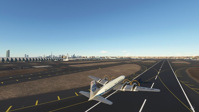
Parked at Dubai International Airport (OMDB), Dubai, United Arab Emirates. This is the Asobo hand-crafted version of the airport.
Great nav log!
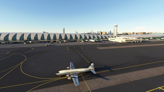
Enjoying the architecture of Dubai International Airport as we taxi out.
Departing ODBM. We are heavy and full of fuel for the long flight to the Maldives.
So long Dubai.
Turned around and climbing out over OMDB.
Crossing into Oman.
Over Oman at FL210, cruise power is set, engine instruments in the green, fuel switched to the auxiliary tanks, getting 285 knots over the ground and all is well. Time to pour a cup of coffee and settle in for the duration.
A bit of weather over northern Oman.
Still over Oman and loving the colors.
About to depart the Arabian Peninsula.
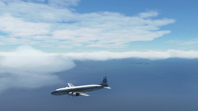
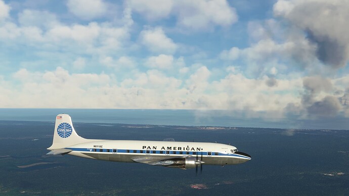
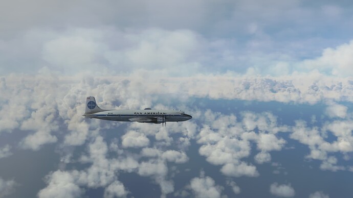
Somewhere over the Indian Ocean…
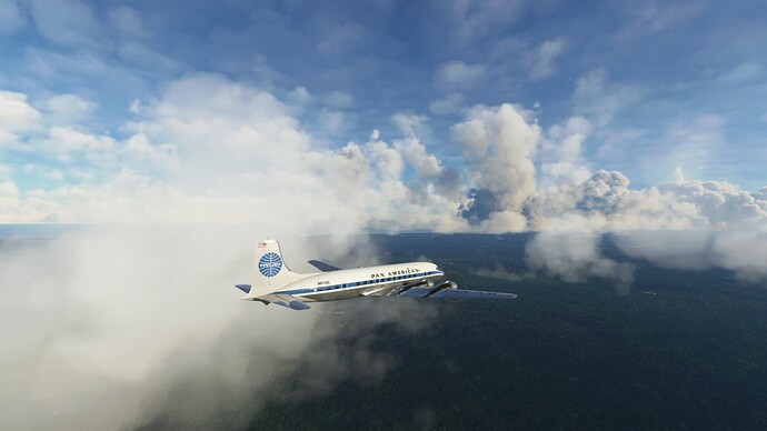
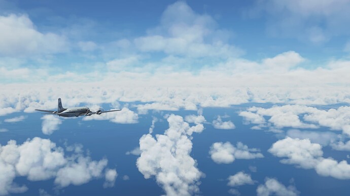
Poofy clouds over the water.
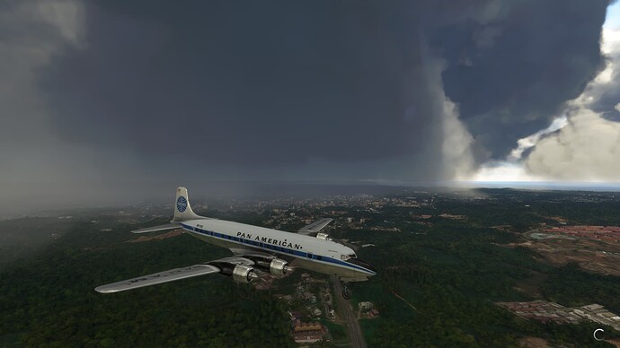
Poofy clouds have turned into thunder bumpers.
Scattered clouds on the descent…yet there is lightning. So tired of lightning showing up where it shouldn’t.
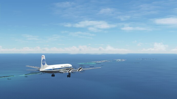
Descending through the Maldives.
Signs of civilization: Eydhafushi in the center of the picture.
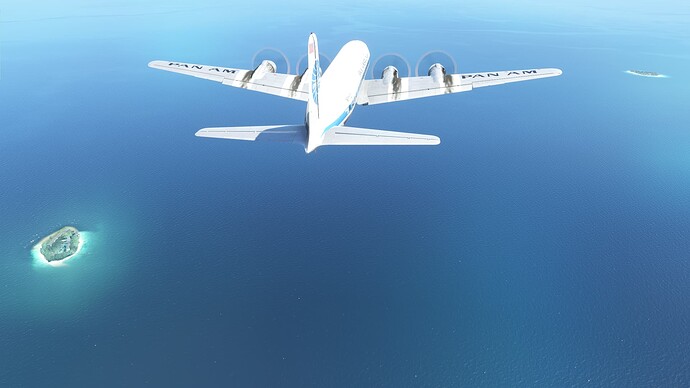
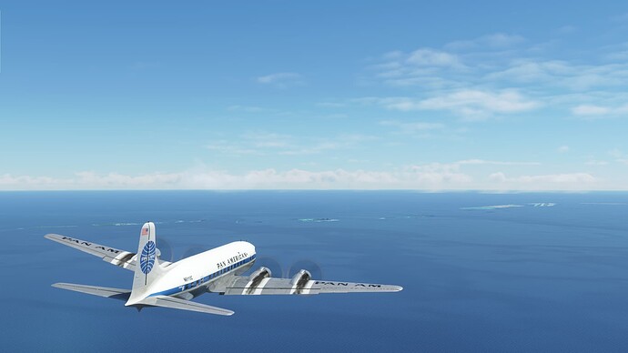
So many islands and islets.
Male coming into view.
Inbound on the VRMM RNP RWY 18.
The approach is beautiful.
Touching down in the Republic of Sunshine!
Parked at Velana International Airport (VRMM), Male, Republic of Maldives. Time to find some sand, grab a beach chair and sip a Mai Tai!
1 Like
Nighttime departure from VRMM.
Lined up and ready to go.
So long Maldives.
Dawn over the Indian Ocean.
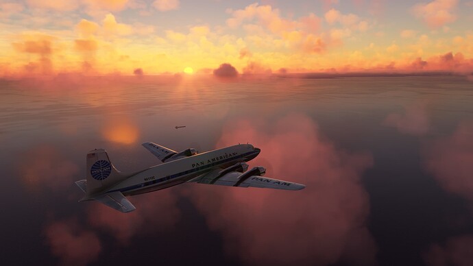
The House of the Rising Sun.
The island of Sumatra, Indonesia.
Embedded thunderstorm cells in the area.
A hole in the weather as we near the coast of Sumatra.
Over Dumai, Sumatra, Indonesia.
Approaching the Malay Peninsula.
Malaysia.
Just north of Singapore, on the descent into Changi International Airport.
Inbound to IPNAK, our initial fix for the ILS RWY 20R, WSSS.
On approach to Changi.
Downtown Singapore in the distance.
Touching down at Singapore Changi International.
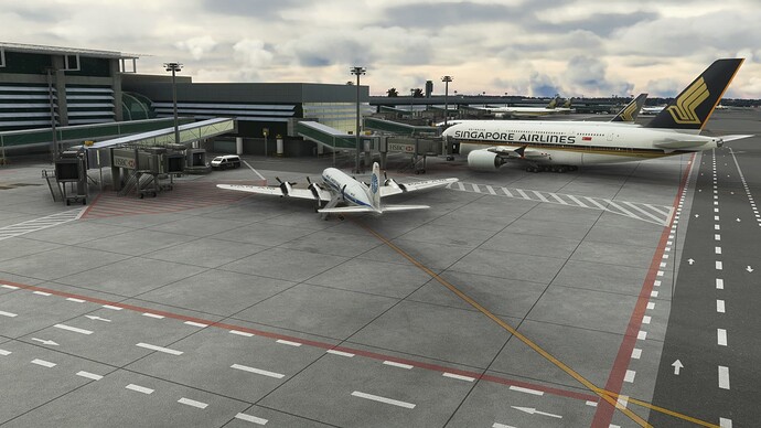
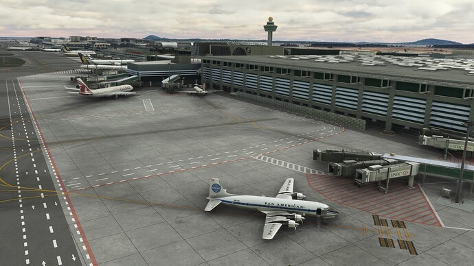
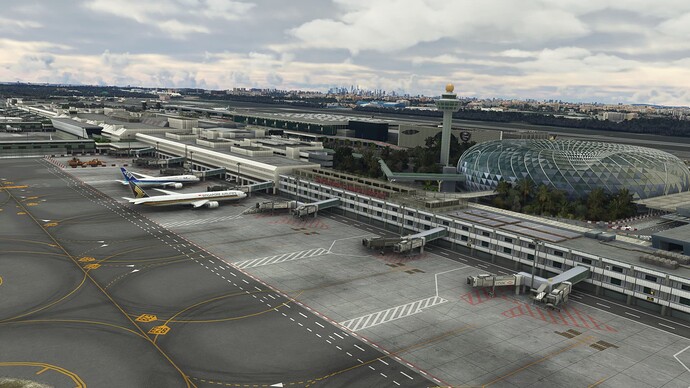
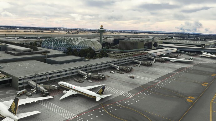
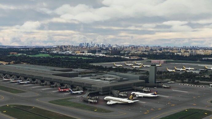
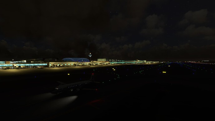
Our parking spot at Singapore Changi International Airport (WSS), Singapore.
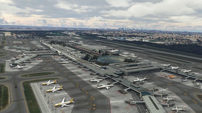
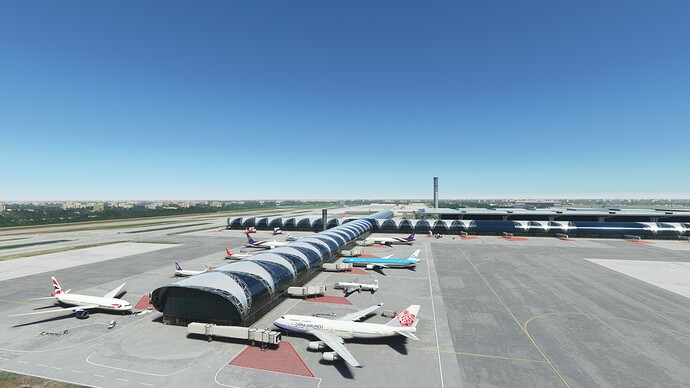
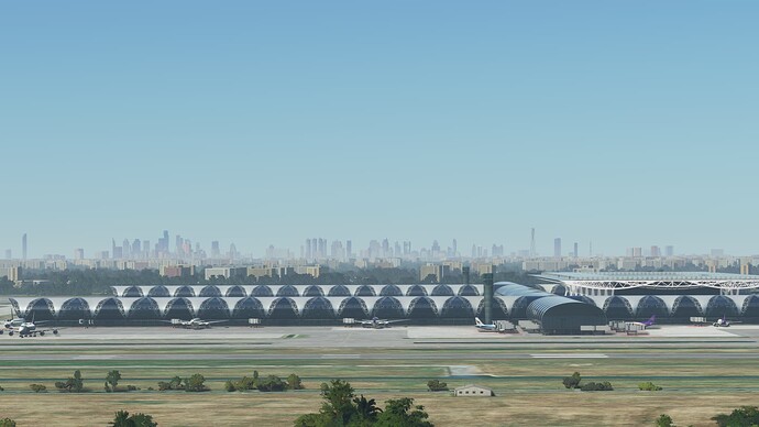
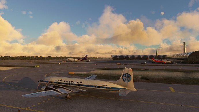
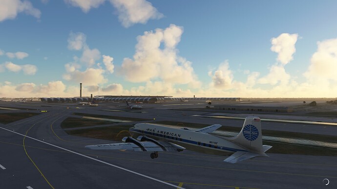
A few more airport pictures. The moving trams are a nice touch, but I would have liked to see some interior modelling.
1 Like
Great shots! Love the paint on the DC-6!
1 Like
Night time departure from Singapore-Changi.
Departing RWY 20R, downtown Singapore in the distance.
Singapore lights.
Enjoying the newest night lighting. Looking back at Batam City and Singapore in the background.
Pangkalpinang, Indonesia in the distance.
Stars and soggy clouds during a humid equatorial night.
Could that be dawn?
Slowly getting lighter as we close in on Indonesia.
Lots of islets in view and perhaps some signs of habitation.
Pink clouds and couple of tankers as the sun comes up.
On approach to RWY 25R.
Early morning light in Jakarta.
Touch down!
Down and parked at Soekarno-Hatta International Airport (WIII), Jakarta, Indonesia.
Taxiing out at Soekarno-Hatta with AIG Traffic finally working. Love seeing all of the different aircraft and liveries!
Looks like we are number four, but that is ok since we need to do our runup.
Just waiting on Sriwijawa Air to depart.
And we are out of here!
Views of Jakarta, Indonesia.
Cloudscape over the water.
Passing by Semarang, Indonesia.
Poofy clouds and the Indonesian countryside.
Bojonegoro, Indonesia.
Surabaya inbound, 15nm west of the IAF to the ILS RWY 10.
Views of Surabaya on the approach.
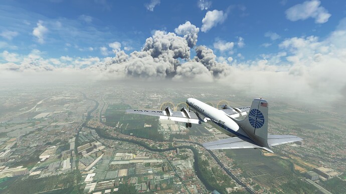
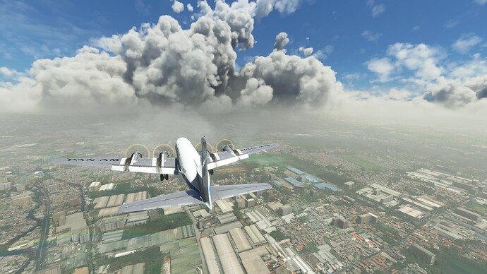
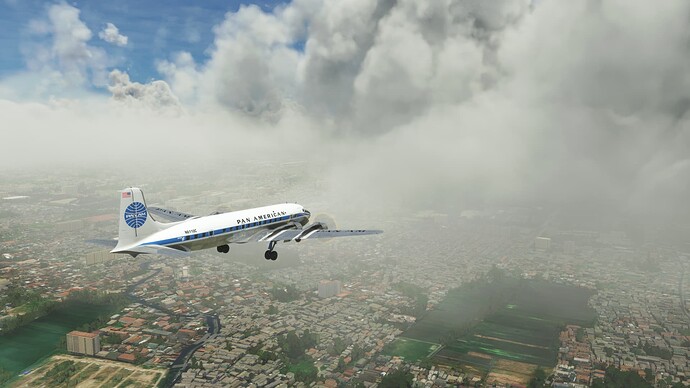
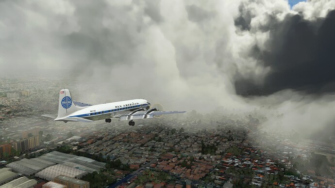
Big cell hanging right over the airport.
About to get wet!
Runway in sight!
Visibility looking back isn’t so bad, but runway visibility isn’t great.
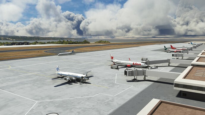
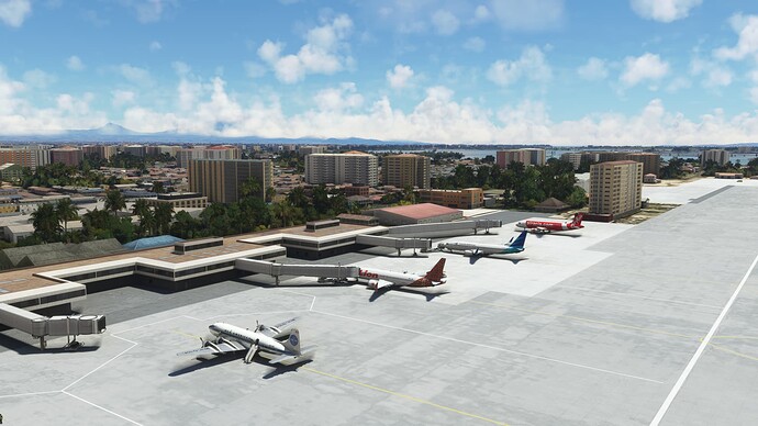
Parked and hanging with the Lion Airlines 73Xs on the Juanda International Airport (WARR) ramp, Surabaya, Indonesia.
1 Like
Impressive city night lighting!
1 Like
Good-bye Juanda International.
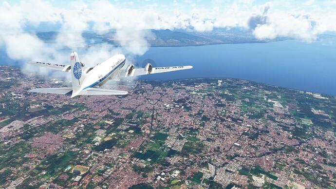
Surabaya, Indonesia.
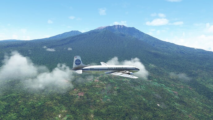
Mount Bromo, an active volcano in Indonesia.
Approaching Jabung Sisir, Indonesia.
Rather spectacular scenery!
Winding our way through the mountains. Who knew Indonesia had such high terrain?
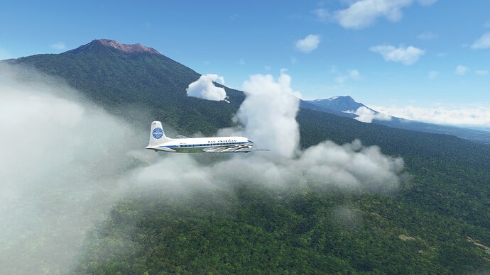
Avoiding volcanos.
Did I mention that the scenery is spectacular?
Bayunwangi, Indonesia.
Over the island of Bali.
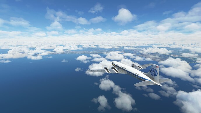
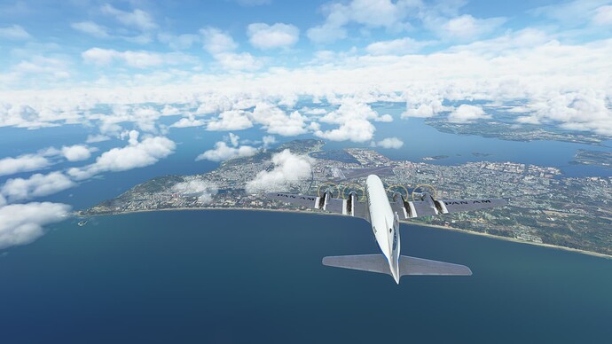
Bali beaches…
A bit of traffic inbound on the ILS RWY 27…
Denpasar, Indonesia from the approach to RWY 27.
Final approach.
About to touch down in paradise.
Welcome to I Gusti Ngurah Rai International Airport (WADD), Bali, Indonesia. There is a payware version of this airport that looks decent, but I couldn’t justify spending the money for an airport that I’m not likely to visit on a regular basis. I did want to see the island though, Anyway, we are going to go find a beach and hopefully some Aussies to party with!
Departing an empty WADD in some rain showers.
Getting pointed in the right direction.
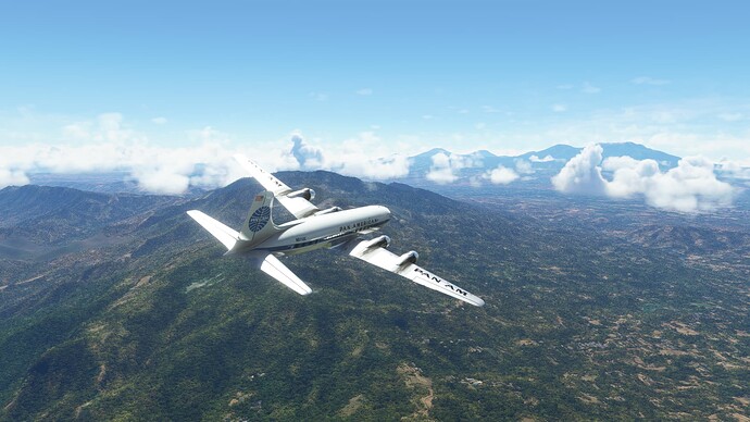
Climbing like mad to get over the mountains. Looks like we need to be up at 14,000’ to go direct today. Borneo has some big hills!
Back out over the water. Java is behind us, Borneo is somewhere in the distance.
Over Borneo. Supposed to be some big mountains around, but I can’t see them…
Now things are looking a bit more mountainous.
Nothing but jungle…
Signs of civilization.
Just passed SIBU VOR, now we can ride the beam to follow G460 inbound to pick up the DME arc for ILS Z RWY 17 approach to WBGB.
Local color from the farmers’ fields.
Eight nm back on final approach.
Bintulu, Malaysia from our final approach path. Looks like a little airport close to town.
Short final over the jungle.
And down…
Waiting for Air Malaysia to clear the ramp at Bintulu Airport (WBGB), Bintulu, Malaysia.
Parked at Bintulu; not much going on here…
Up at dawn to depart Bintulu, Malaysia.
Wheels up at WBGB.
So long Bintulu.
Not sure what river this is, but it seems to be big.
I remain impressed by the vastness of the Borneo jungles.
Passing over some small settlements.
Batu Niah, Malaysia.
Another large river.
Over Brunei. It doesn’t look much different from here.
On the other hand, there seems to be civilization in the distance.
Final approach RWY 03 and views of Bandar Seri Begawan, a modern city hacked out of the jungle. There is something cool about the way “Sultanate of Brunei” rolls off the tongue that made me want to visit.
Are we down yet? Greasing it on in Brunei.
Welcome to Bruinei International Airport (WBSB), Bandar Seri Begawan, Brunei. Even the name of their national airline is cool: Royal Brunei Airlines. Anyway, we are off to go see if we can get an audience with the Sultan before heading onward to explore Indochina.
Alas, the Sultan of Brunei had better things to do than meet with us, so we are back on our way. On our way to the active runway at Brunei International.
Onward and upward.
Bandar Seri Begawan on the way out.
Feet wet and Bye-bye Brunei! We will be out over the ocean until we reach Vietnam.
Lots of small cumulus clouds out over the ocean.
Vietnamese coastline coming into view.
Long Hai to the right and Vung Tau dead ahead.
Vung Tau, Vietnam.
Can Thanh, Vietnam.
Swamps and wetlands.
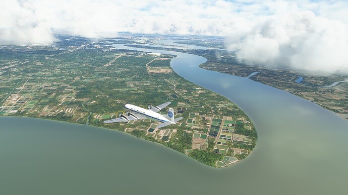
Rice paddies on the outskirts of Ho Chi Minh City.
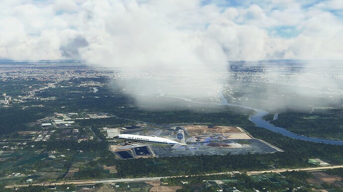
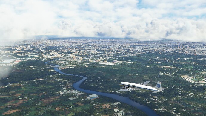
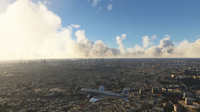
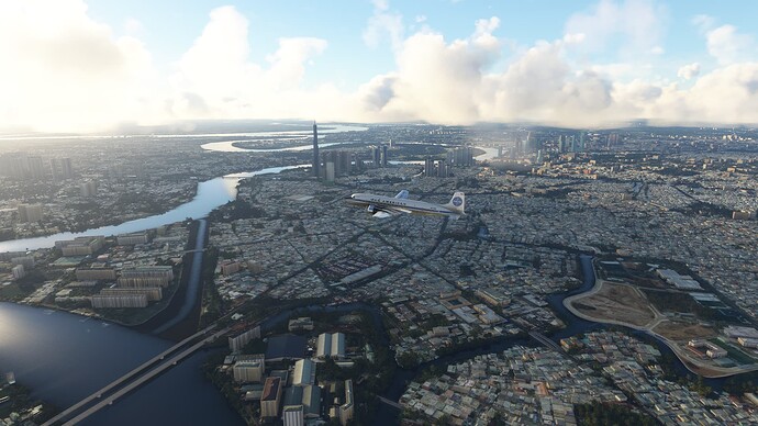
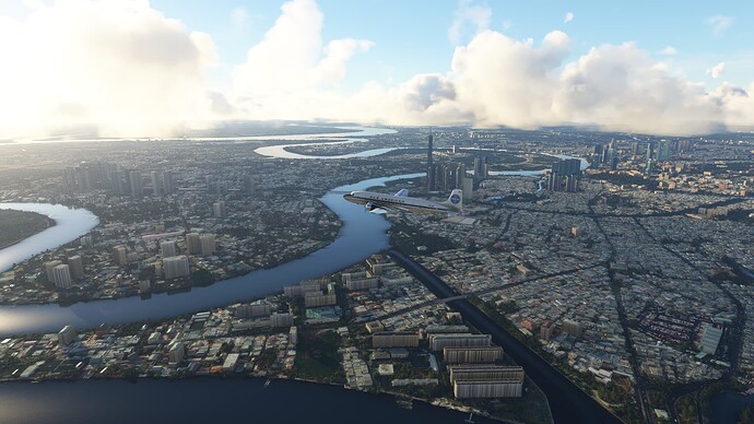
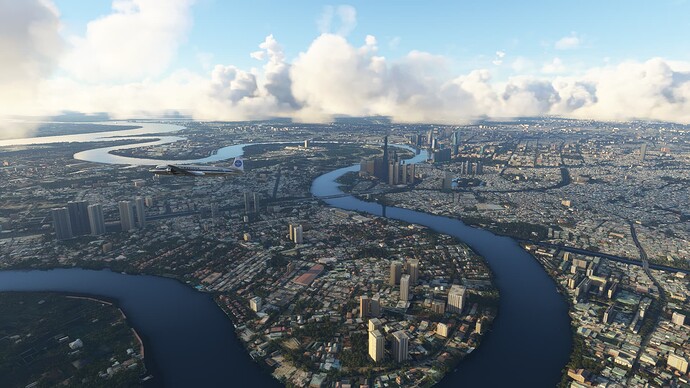
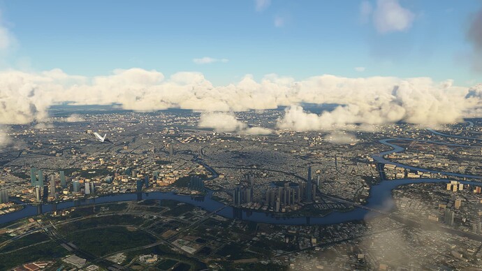
Ho Chi Minh City, Vietnam. I didn’t realize how sprawling the city is!
More of Ho Chi Minh City on the approach to RWY 07R.
Final approach and Ho Chi Minh City.
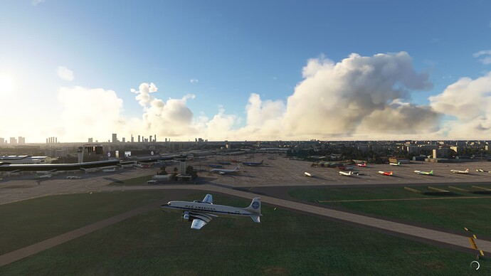
Arriving in Vietnam.
Welcome to Tan Son Nhat International Airport (VVTS), Ho Chi Minh City, Vietnam.
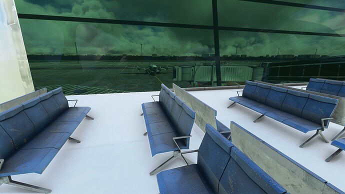
Looking out from the departure lounge.
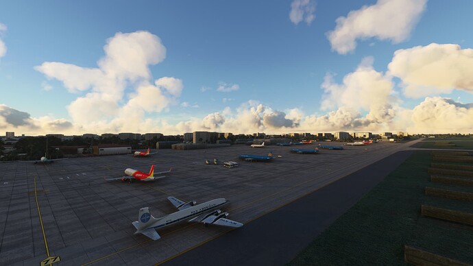
Tan Son Nhat International in the early morning light.
Good Morning Vietnam!
Ho Chi Minh City, Vietnam and the Saigon River.
Vietnamese countryside.
Entering The Kingdom of Cambodia.
Crossing the Mekong River.
Phnom Penh in the distance.
On final with the city of Phom Penh all around us. It was hard to want to stay on glideslope with the buildings so close underneath!
Arriving at Phnom Penh International Airport (VDPP).
Parked at Phnom Penh International Airport, Phnom Penh, Cambodia.
Watching China Southern taxi out at Phnom Penh International while we run the before start checklist.
Departing Phnom Pehn International.
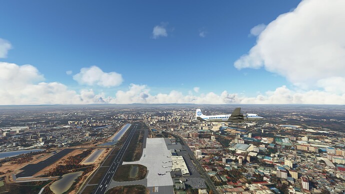
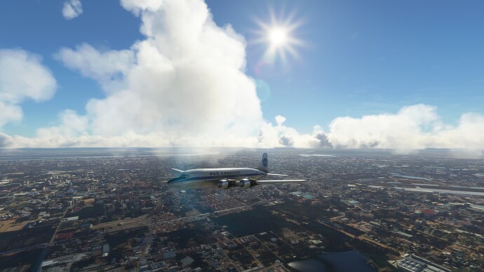
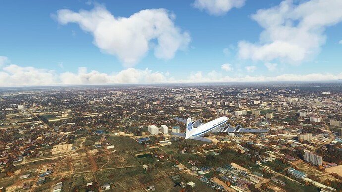
Phnom Penh.
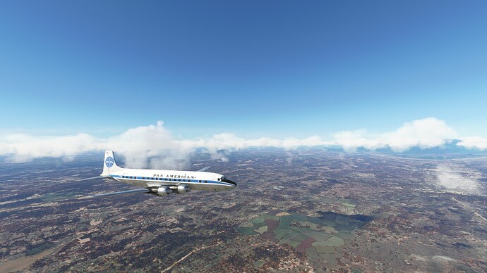
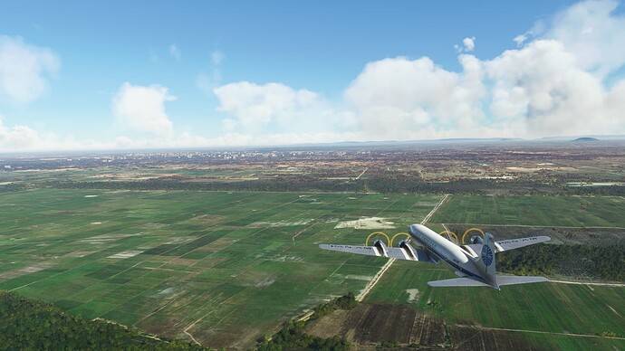
Cambodian countryside.
Over Lake Sap.
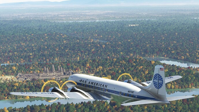
Down low over Siem Reap and hoping for good views of Angkor Wat.
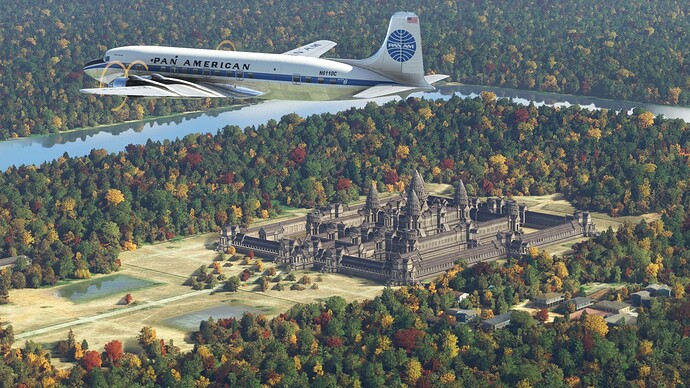
Angkor Wat, the largest temple structure in the world.
Setting it down right on the touch down zone marker.
Parked on the flight line at Siem Reap International Airport (VSR), Siem Reap, Cambodia. Owing to the popularity of Angkor Wat as a tourist attraction, this is the busiest airport in Cambodia.
Departing Siem Reap, Cambodia at daybreak.
On top at 8,000’.
Cambodian countryside
The Thailand coast and the Gulf of Thailand.
Nothing but blue water over the Gulf of Thailand.
Kho Phangan.
Looks like a nice beach!
Spectacular views on the approach to RWY 17.
Welcome to Surat Thani Airport (VTSM), Koh Samui, Thailand.
Down and parked. Time to go explore!
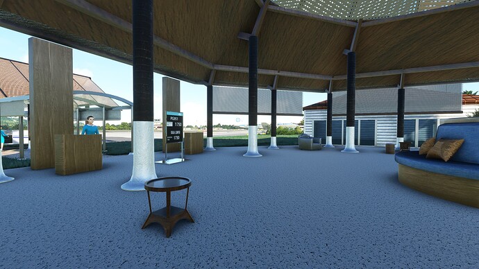
The view from the open air departure lounge.
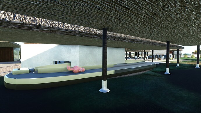
Love the outdoor baggage claim, complete with floaty!
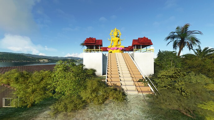
Beautiful statue. Not sure if this is Buddha or a Thai Godess.
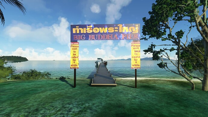
The boat is named Big Buddha, so perhaps the statue is of Buddha after all.
I think we will try to find somewhere to stay that is right on this beach!
1 Like
Just noticed that the “Welcome to Koh Samui” billboard is animated and changes to a Microsoft Flight Simulator Advertisement. Pretty cool!
So long Koh Samui!
Sun getting low over the Gulf of Thailand.
Surat Thani, Thailand.
Lush jungle against the mountains.
Racing the sunset to get to Phuket while we can still see.
Big mountain in the distance. Volcano?
Inside the sunset.
Incredible sunset scenery on the way into Phuket.
Lots of views of the city of Phuket.
Some great looking beaches.
Night landing at Phuket. Hard to see that centerline!
Parked at Phuket International Airport (VTSP). It would be really nice if Asobo could fix the lack of light in the default airports!
Phuket International in the daylight.
Starting our takeoff roll.
Departing VTSP.
So long Phuket!
Last look back towards the ocean.
Looking forward towards the mountains.
Love the shapes of the mountains.
Chiao Lan Reservoir.
Leaving the mountains behind.
Heading up the east side of the Malay Peninsula.
A couple of nice looking beaches.
Passing some islands south of Bangkok.
On the ILS Z RWY 01L approach to Suvarnabhumi International, with views of Bangkok, Thailand in the background.
Touching down at VTBS.
Parked at Suvarnabhumi International Airport (VTBS), Bangkok, Thailand.
Thai Airlines 747! Back in my youth, I used to smash bags at Sea-Tac for Dynair and we were contracted to handle the luggage and cleaning for Thai. The baggage compartments of the 747 are cavernous and I can remember waking up screaming one night when I dreamt that my team closed the doors while I was still deep in the aircraft, trapping me. Anyway, it was always interesting watching the diversity of humanity that would debark from those big planes. There were definitely times cleaning in the main cabin when I wondered if people were travelling with chickens and goats!
So long VTBS!
Lots of shots of Bangkok, Thailand.
Thai countryside.
Over the mountains. We should be above the MORA at 6,000’, but we are keeping a close eye on the terrain display!
The Srinagarin Dam Reservoir.
The GNS 430 terrain display has proven to be worthy of trust!
The Vijiralongkorn Dam Reservoir.
Payathonzu, just across the Myanmar border.
Heading out over what I guess is technically part of the Bay of Bengal as we make the crossing to Yangon.
Yangon, Myanmar in the distance.
Yangon from the RNP approach to RWY 03.
A bit nerve wracking following the visual glideslope over the buildings.
Touching down at Yangon International Airport.
Parked at a very deserted Yangon International Airport (VYYY), Yangon, Myanmar. My connection was having issues, so I’m wondering if AIG is having trouble injecting traffic. Also wondering if the resurgent jetway bug is due to the same.
Well, a reload did not fix the jetways bug and sadly, AIG has no traffic for the airport. I think the place is just dead at the moment.
Traffic! It landed, but then it disappeared. Maybe AI is messed up at this airport.
2 Likes
Departing Yangon International.
Leaving Yangon in the proverbial rear-view mirror.
Myanmar countryside.
This is an interesting geographic uplift that we look to be following for quite some time.
More Myanmar countryside.
Looking like some weather hanging around over Mandalay.
Glimpses of the ground on the RNP RWY 35 approach.
Parked at Mandalay International Airport (VYMD), Mandalay, Myanmar. Something about the name Mandalay has made me always want to visit, so it is kind of a bummer to encounter another completely empty airport.
Yay, Myanmar isn’t completely empty. We have some company on the flight line at Mandalay this morning! The far aircraft is even Myanmar Airways International.
Departing VYMD.
Mandalay, Myanmar.
The Irrawaddy River.
Myanmar from 16,000’. The MORAs say we have to be up high; perhaps we will be clipping the southern end of Himalayas.
Mountains ahead–we’ll see soon how high they really are.
Still over Myanmar, but these mountains are legit!
Just crossing Bhutan. We will be back to visit later in our trip.
Over Bangladesh.
Chattogram, Bangladesh, with the Bay of Bengal behind.
Bangladesh wetlands.
Bangladesh countryside.
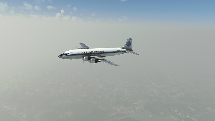
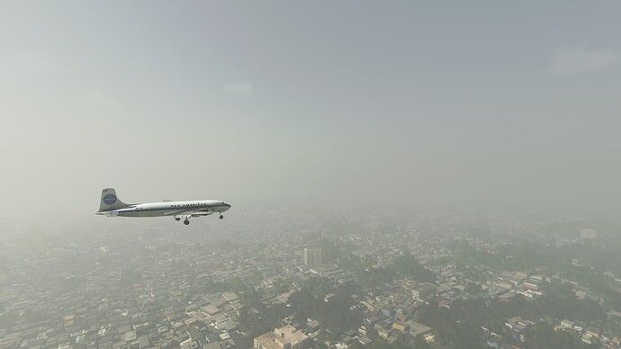
Haze over Calcutta, India. Is this pollution?
A few shots while on the ILS RWY 01R approach. Not much to see.
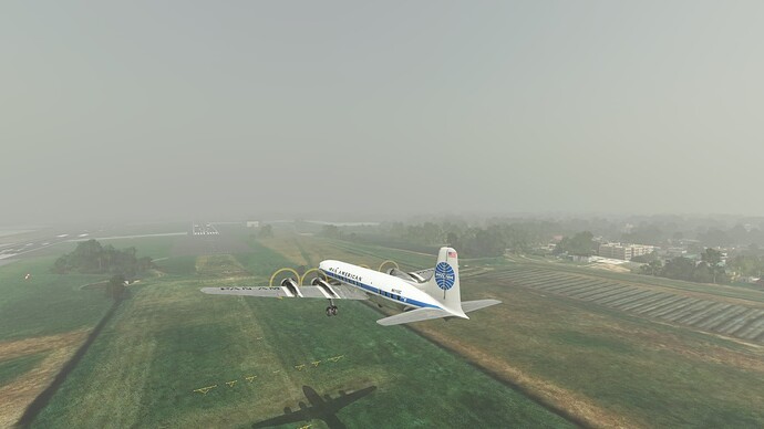
Minimums are 230’ so this is a pretty low approach as due to the poor visibility, I’m just picking up the runway now. Anyway, we have the runway. Between the backwards DG and the general twitchiness of MSFS, it is challenging to hand-fly an ILS!
Looks like we get to land this time. I wasn’t stable on the previous approach, so I opted to miss. For some reason, Sky Dolly isn’t showing the flaps down on the replay.
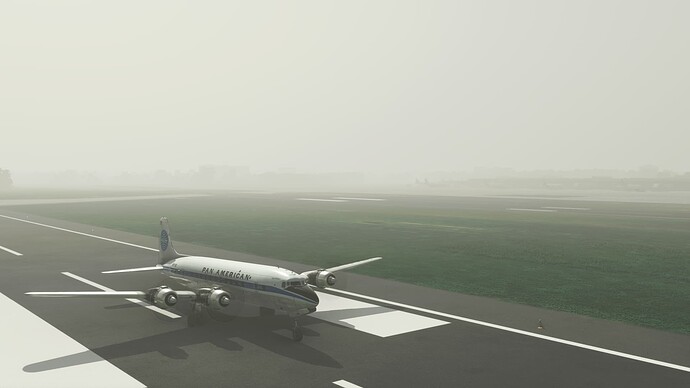
Glad to feel the wheels on the ground.
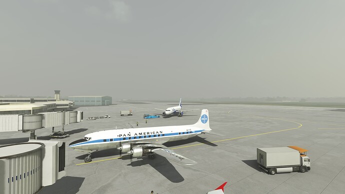
Pulling into our parking spot at Netaji Subash Chandra Bose International (VECC), Kolkata (Calcutta), India, just as India Go is pulling out.
Looking down the flight line at VECC. Hard to see in the haze.
