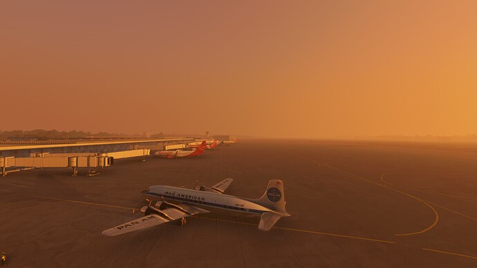
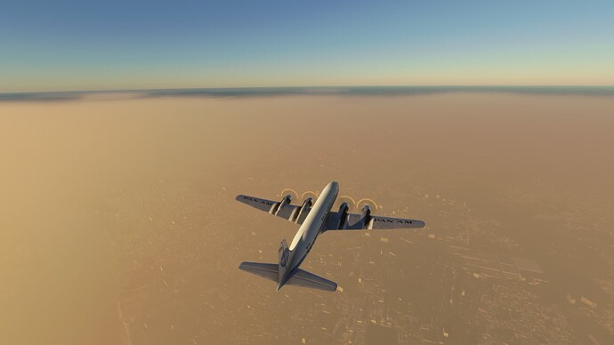
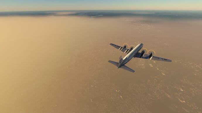
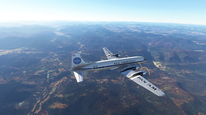
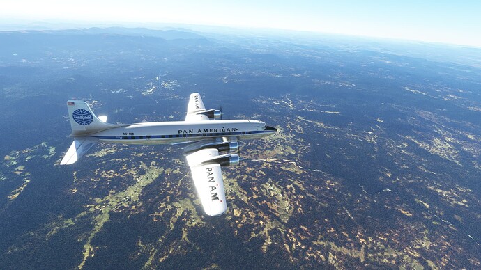
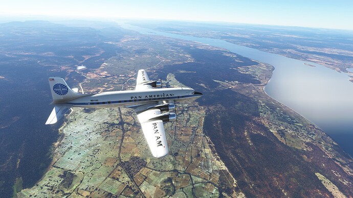
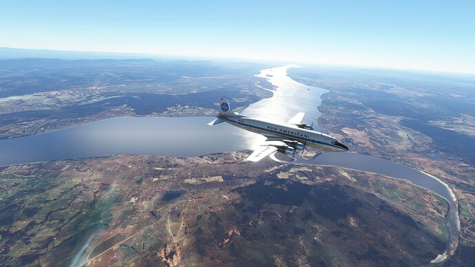
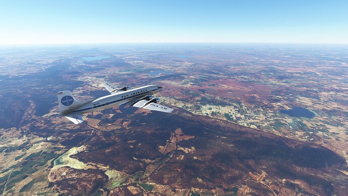
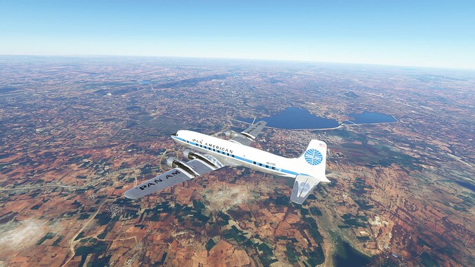
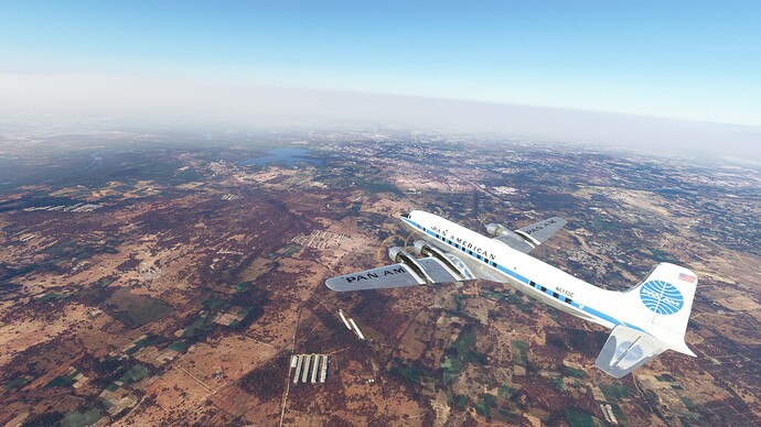
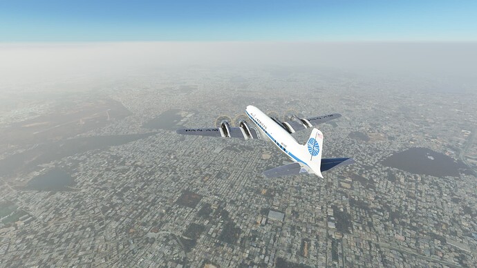
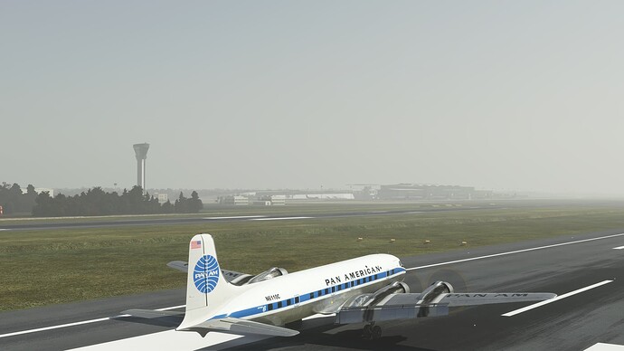
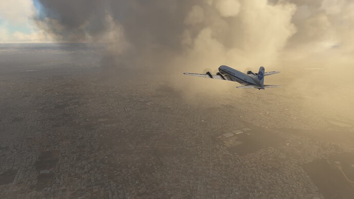
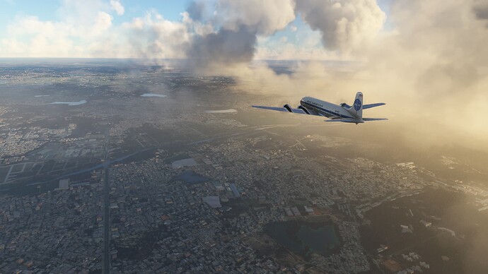
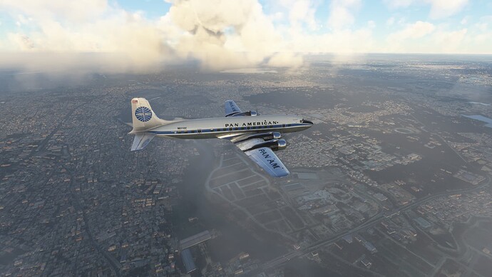
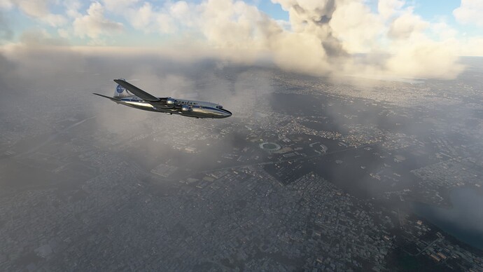
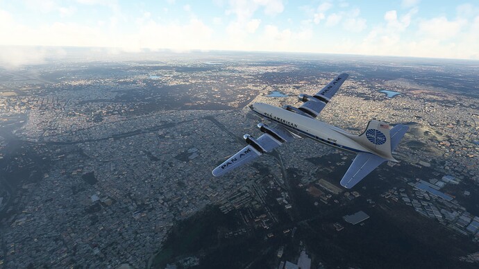
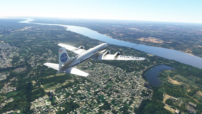
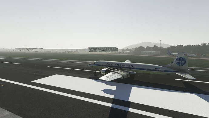
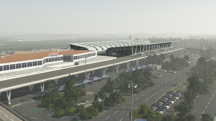
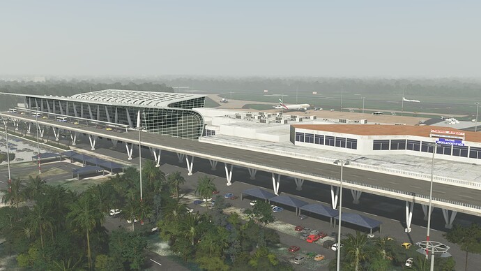
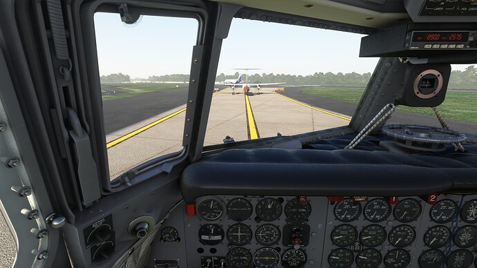
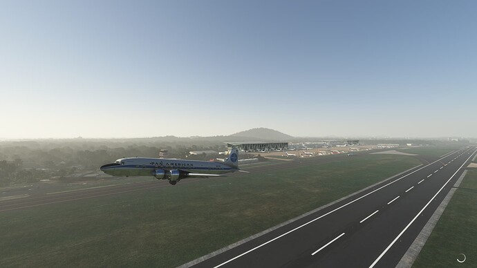
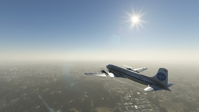
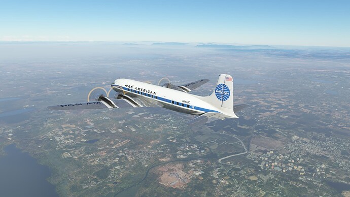
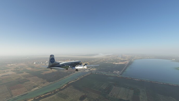
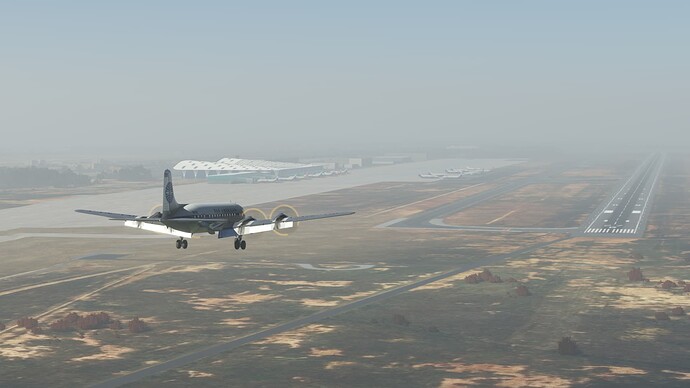
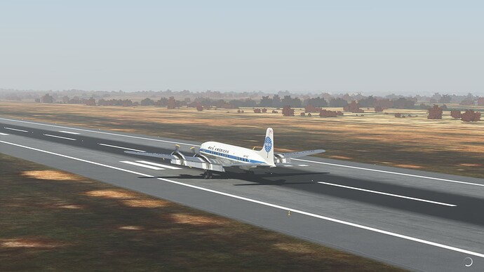
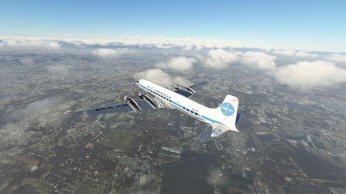
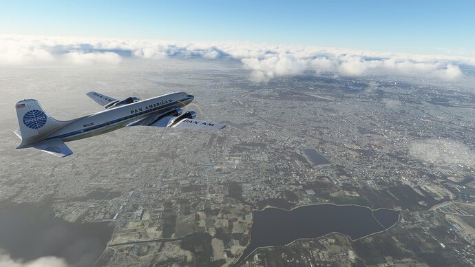
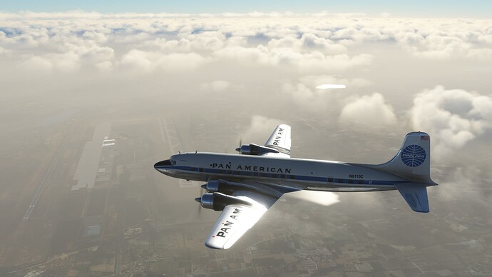
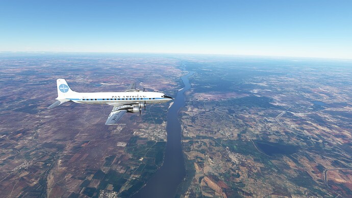
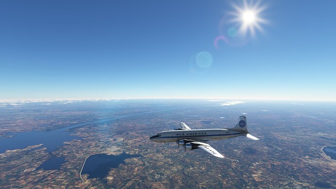
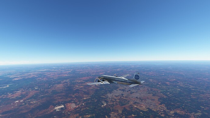
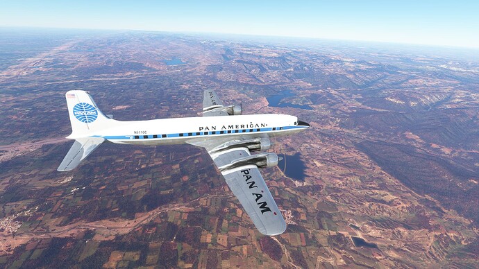
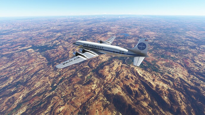
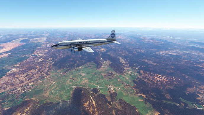
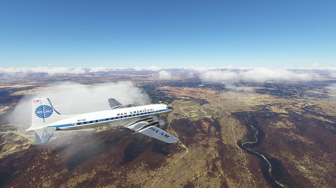
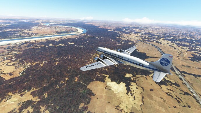
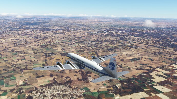
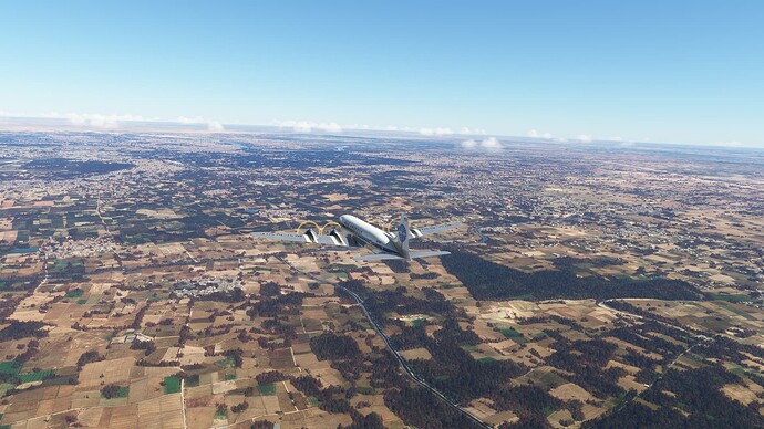
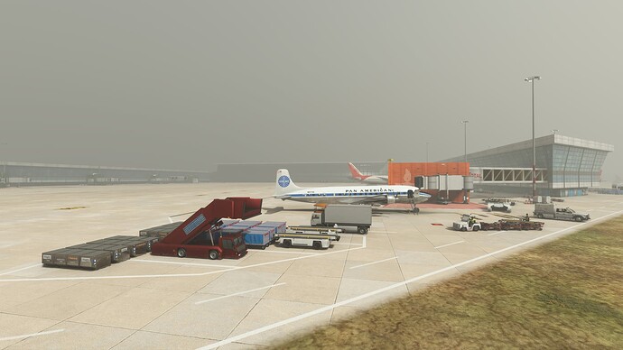
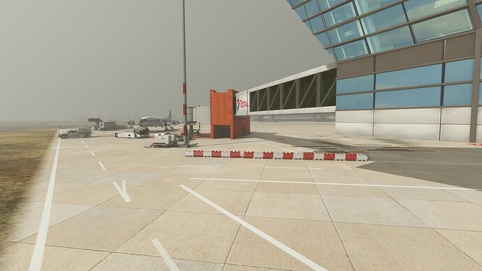
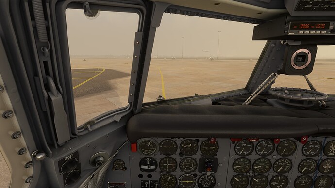
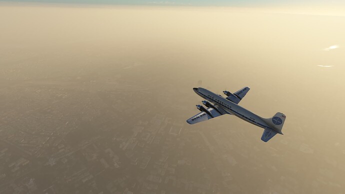
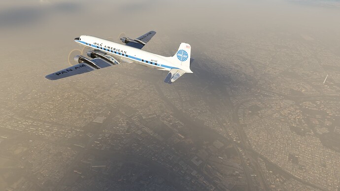
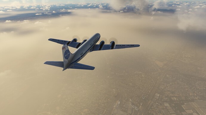
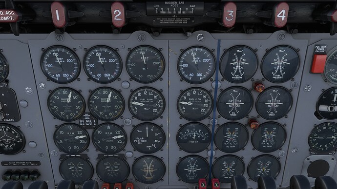
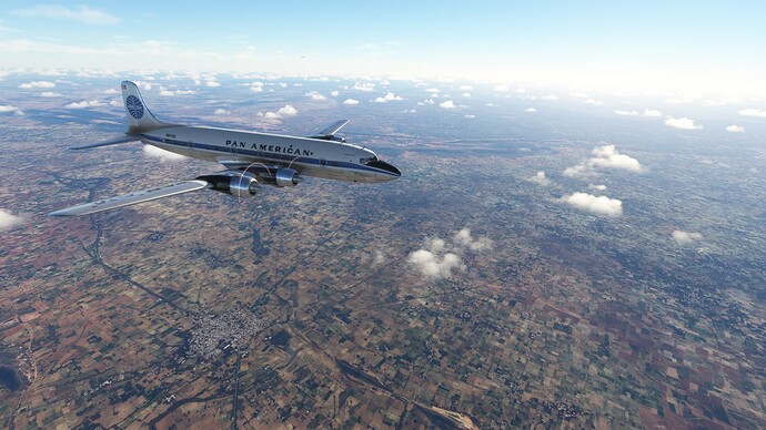
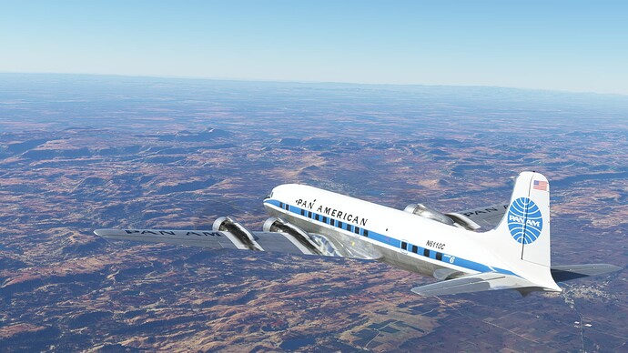
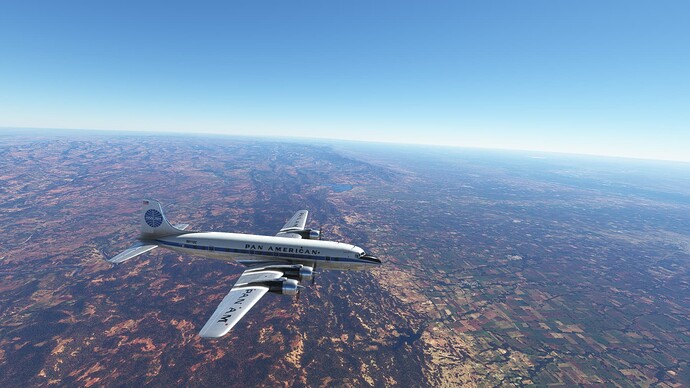
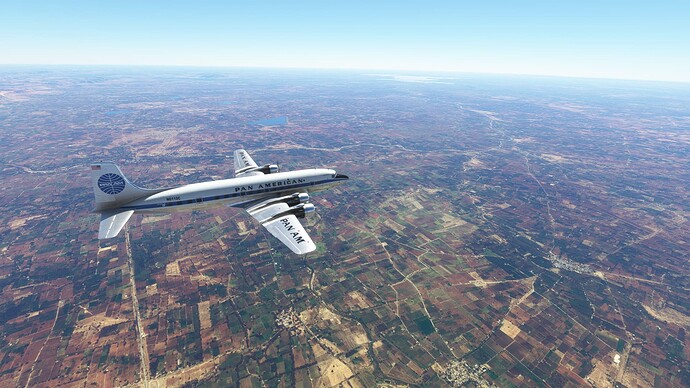
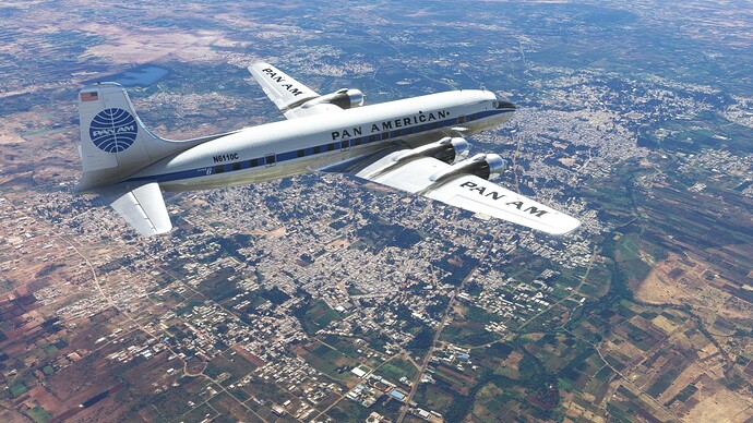
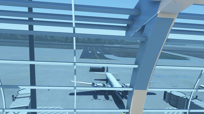
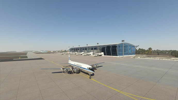
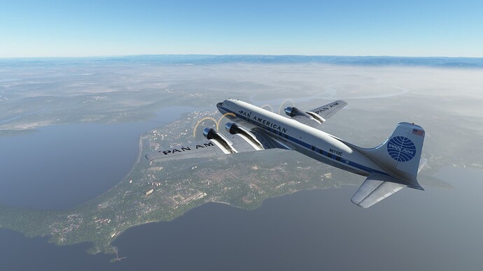
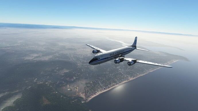
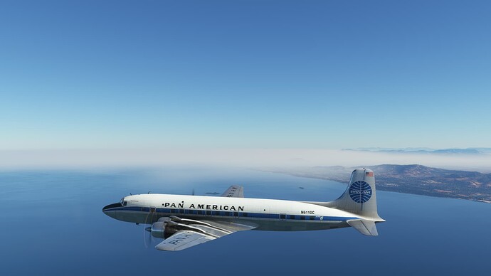
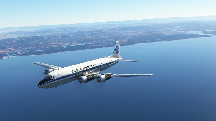
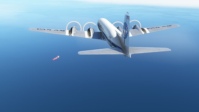
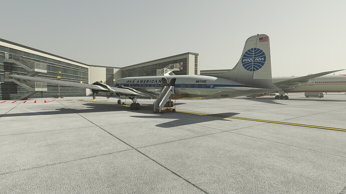
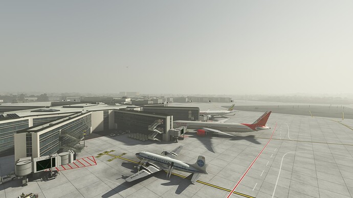
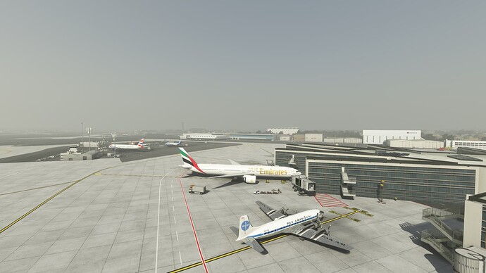
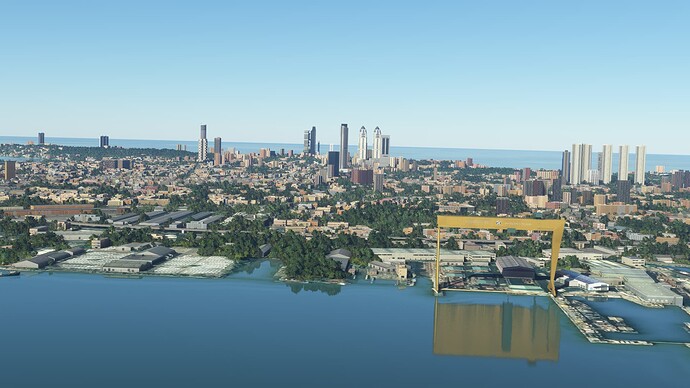
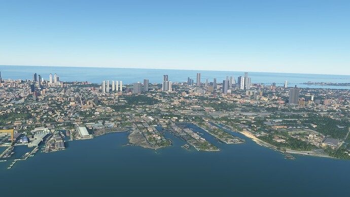
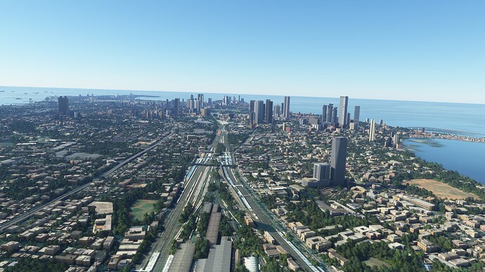
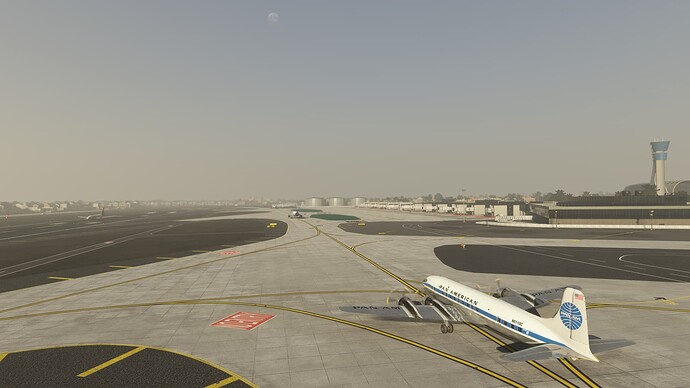
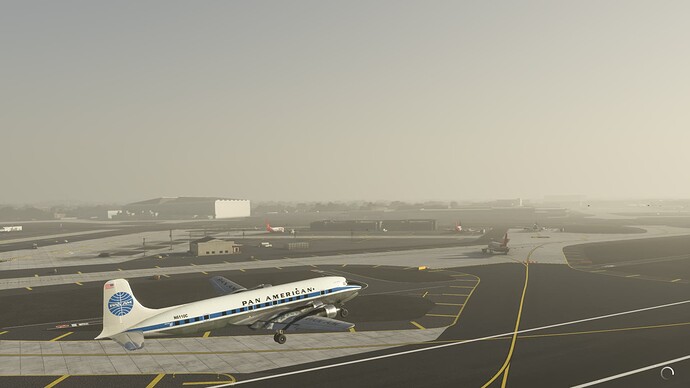
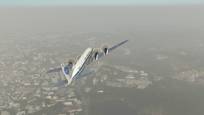
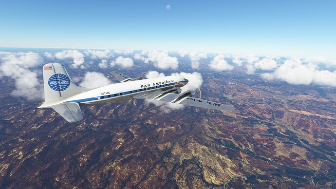
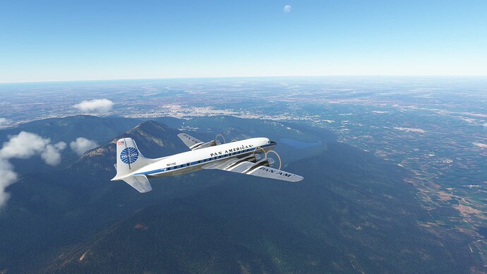
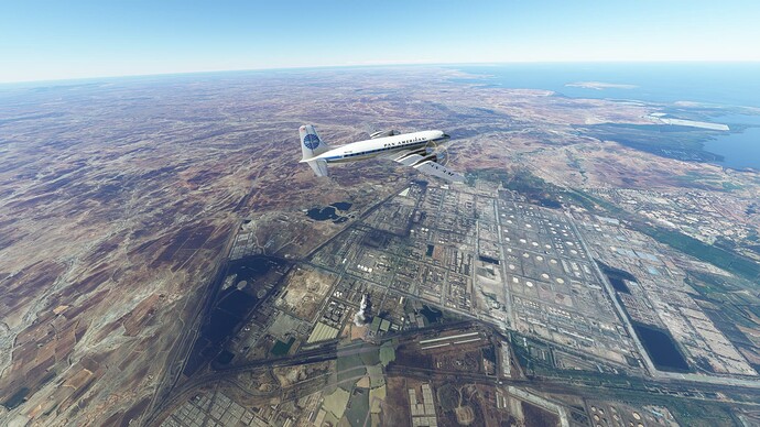
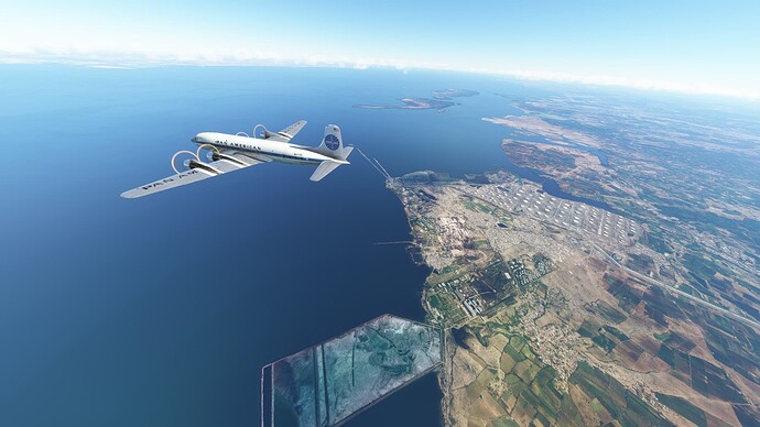
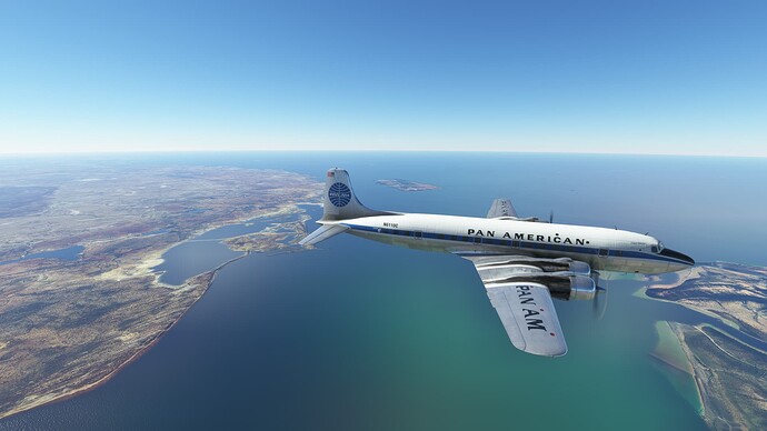
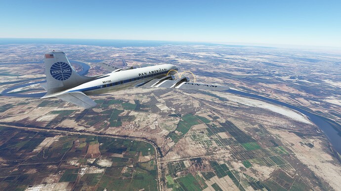
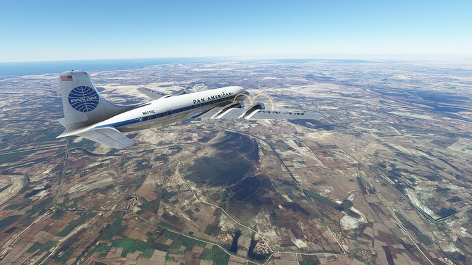
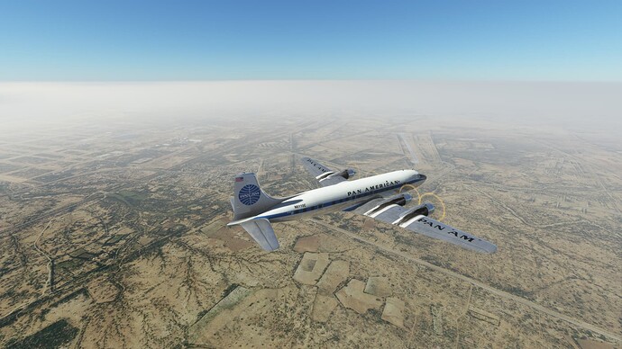
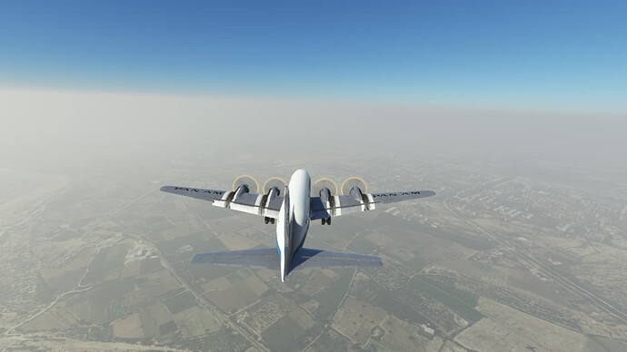
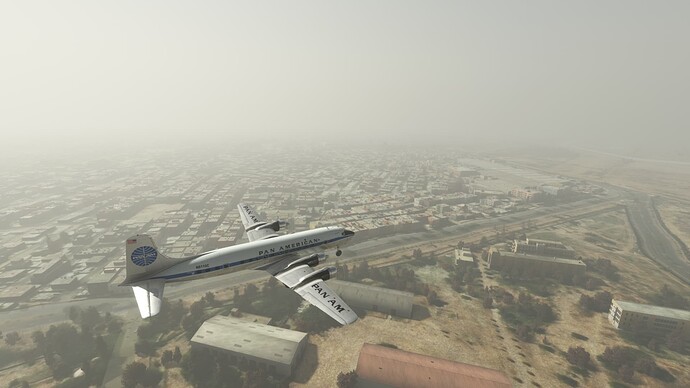
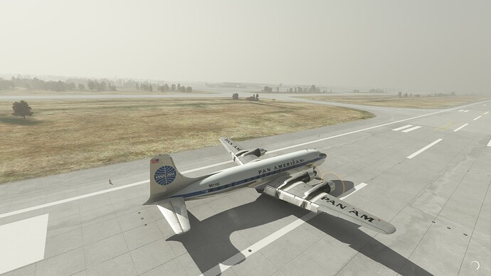
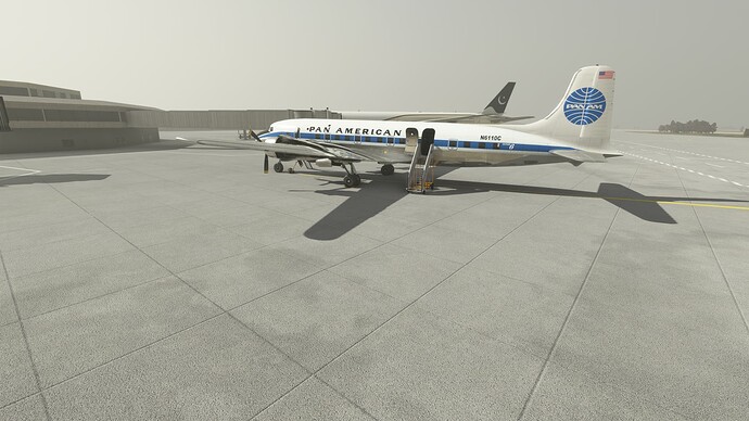
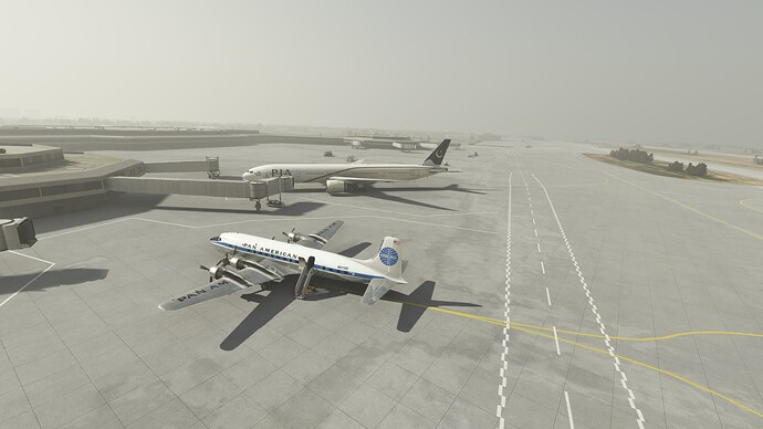
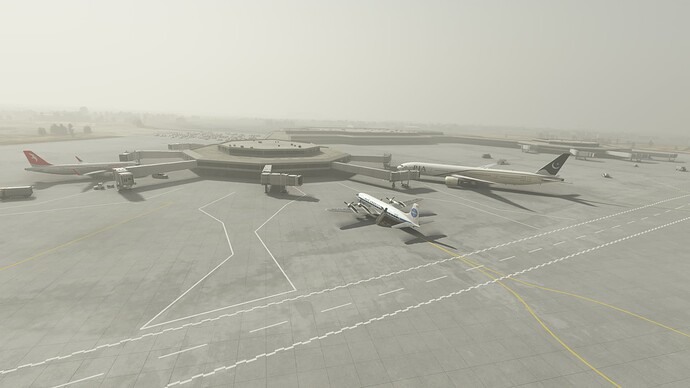
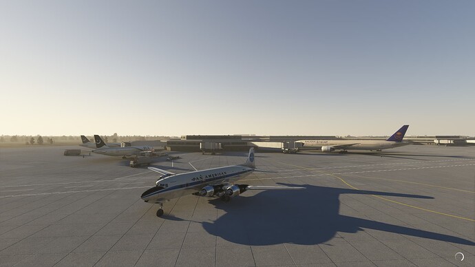
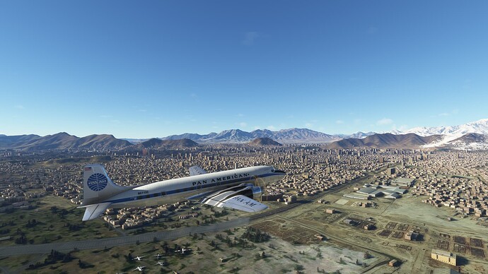
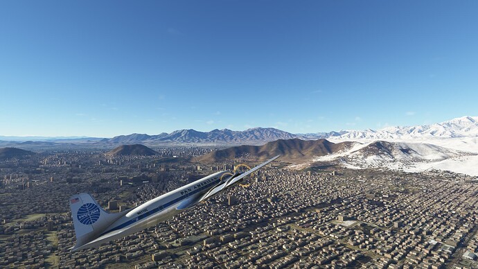
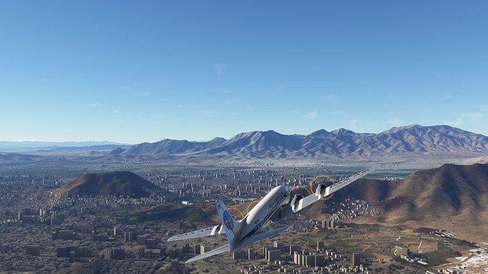
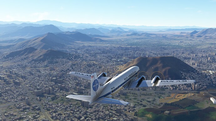
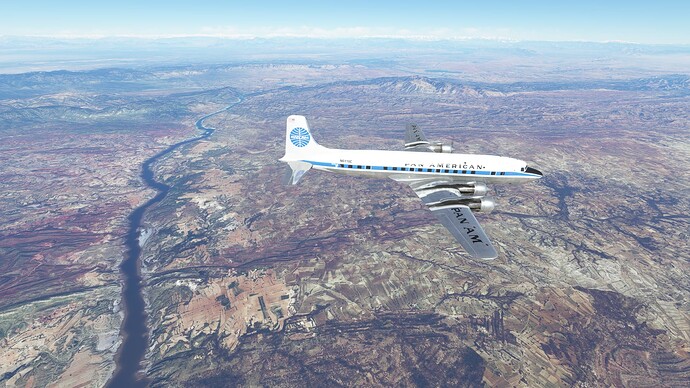
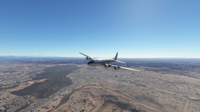
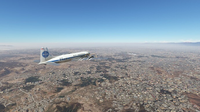
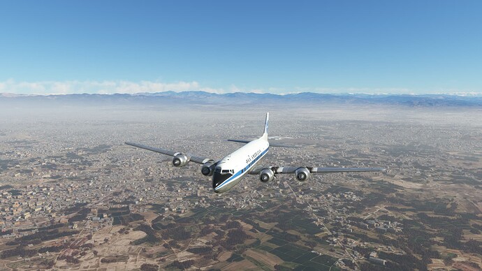
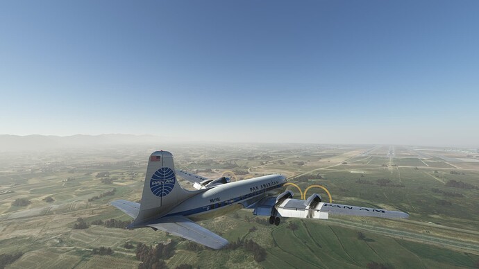
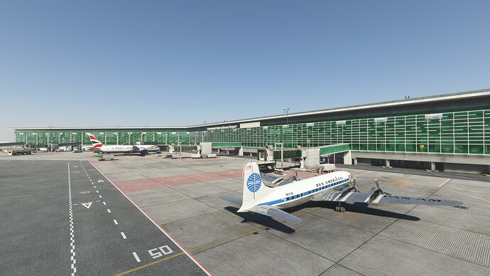
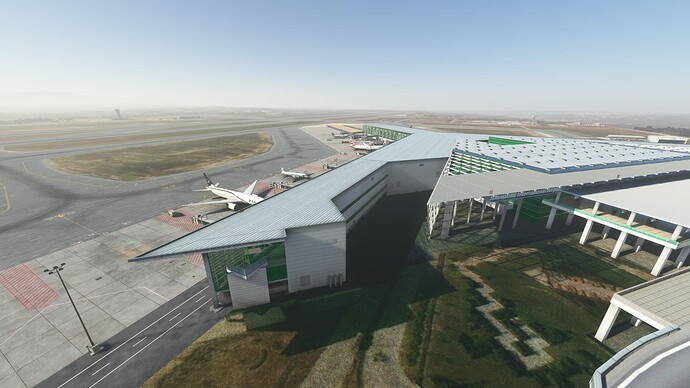
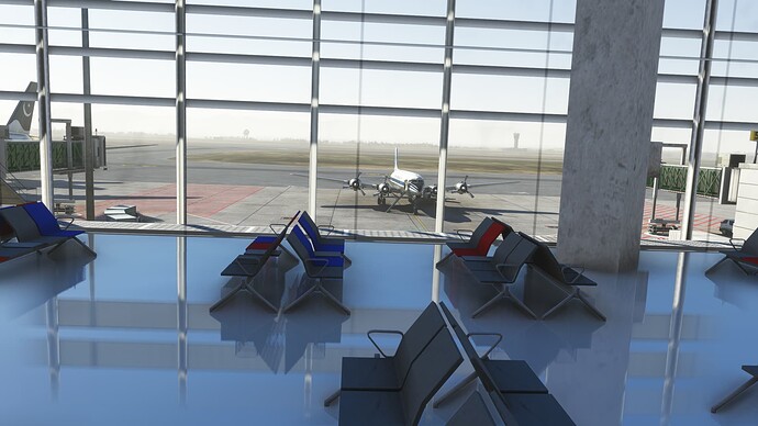
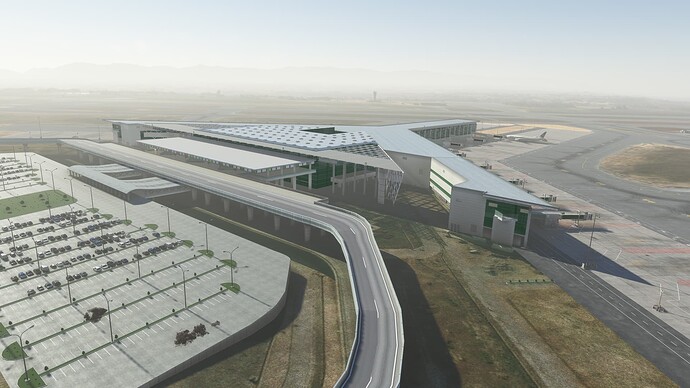
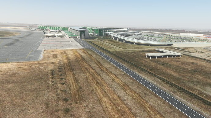
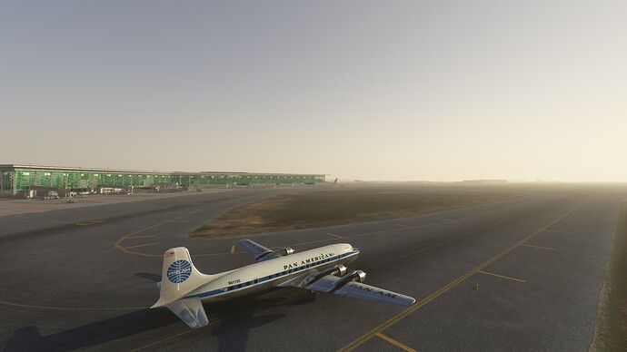
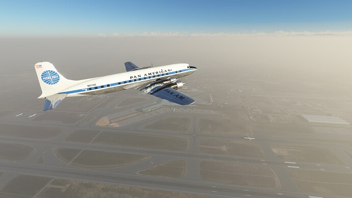
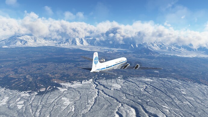
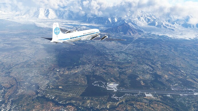
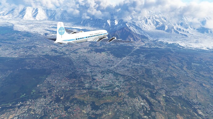
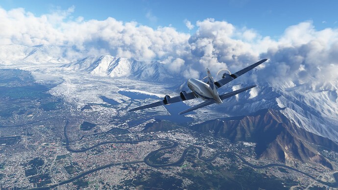
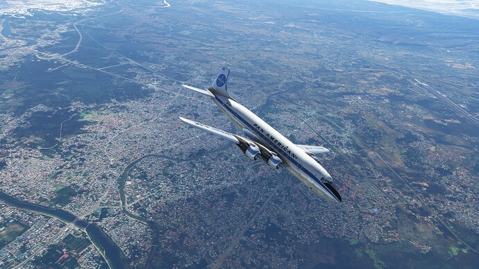
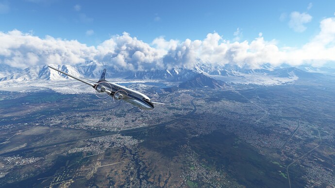
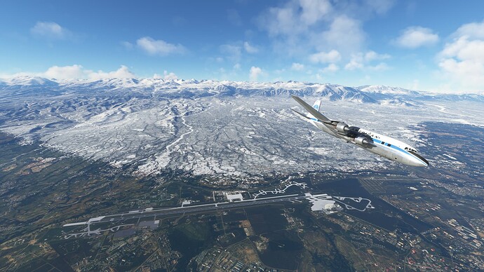
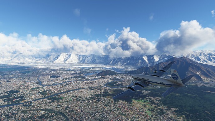
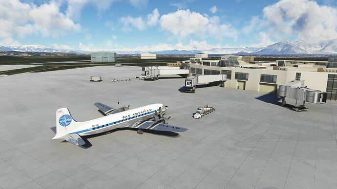
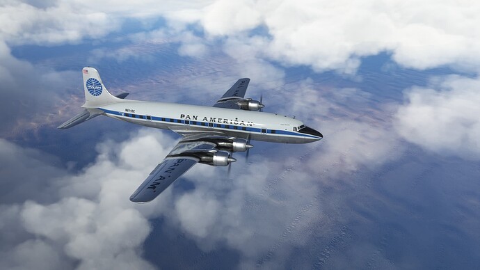
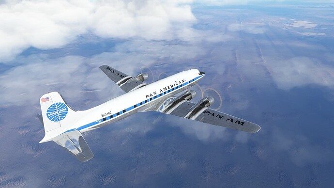
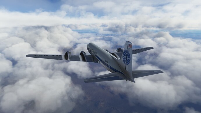
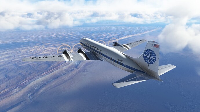
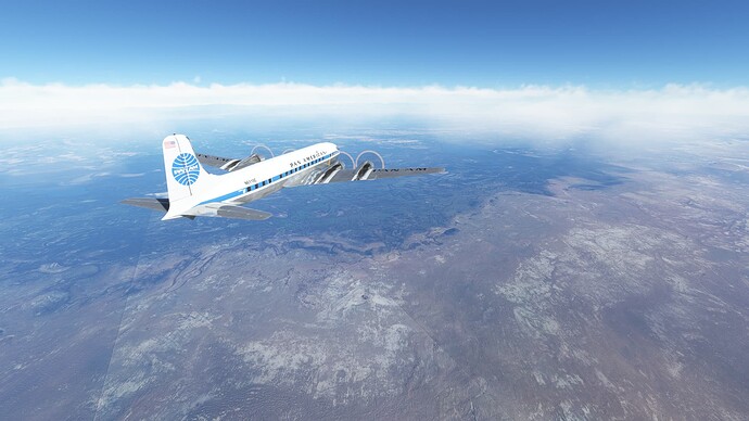
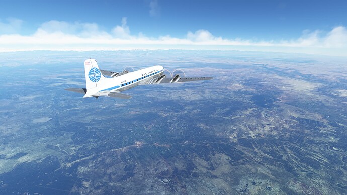
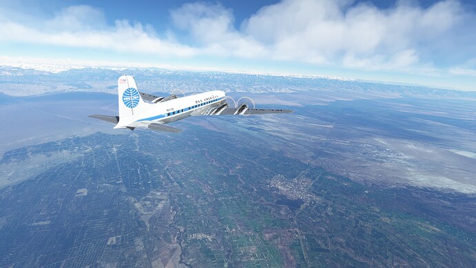
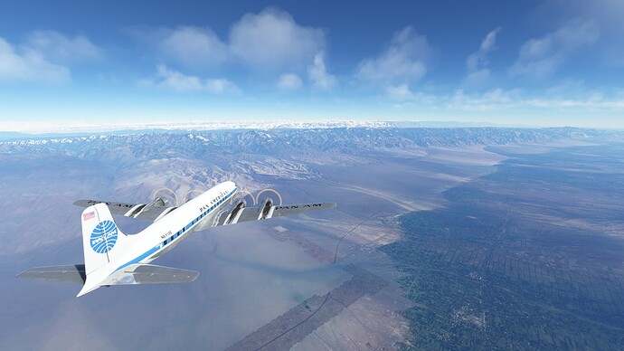
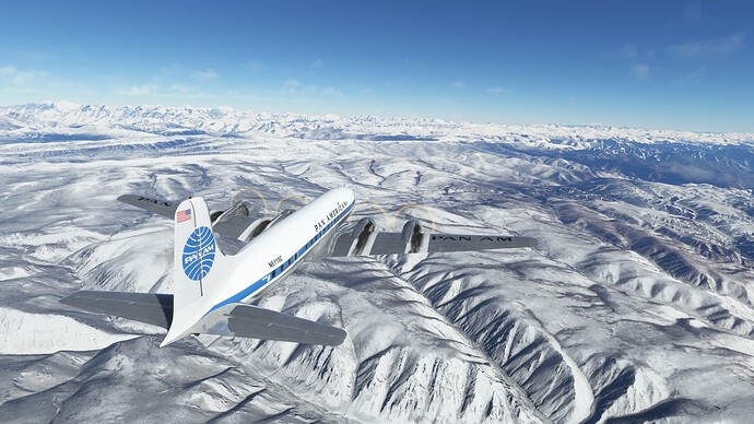
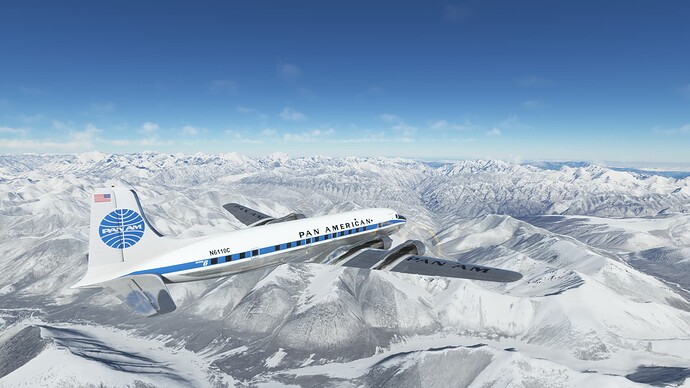
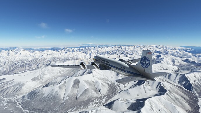
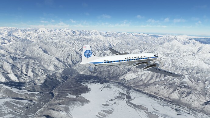
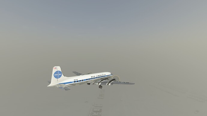
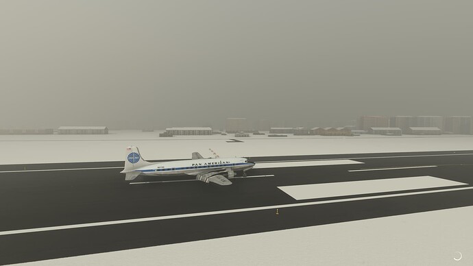
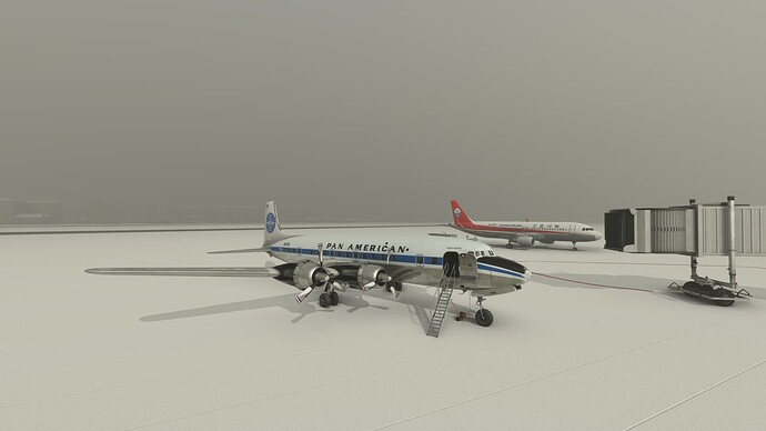
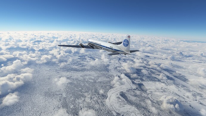
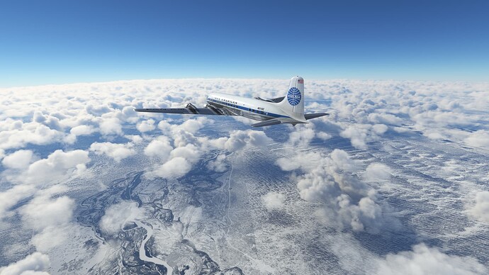
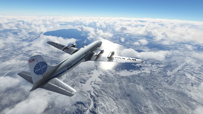
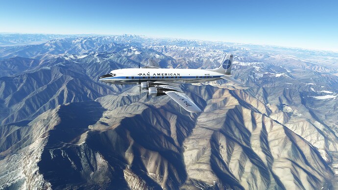
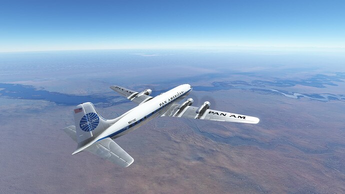
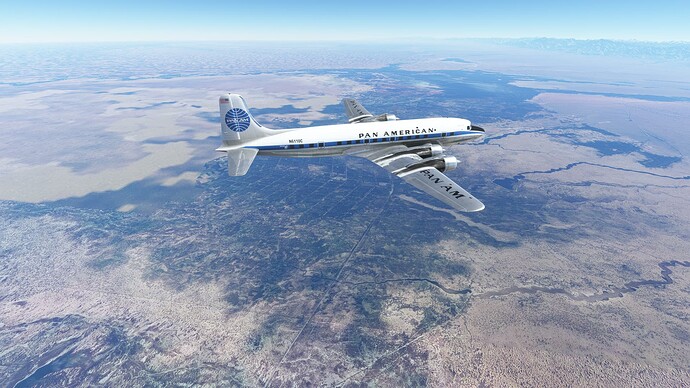
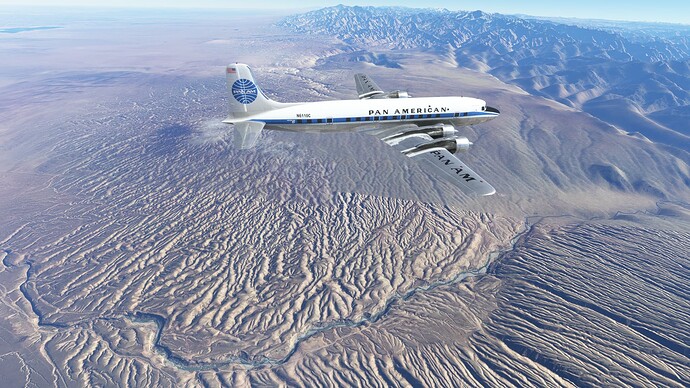
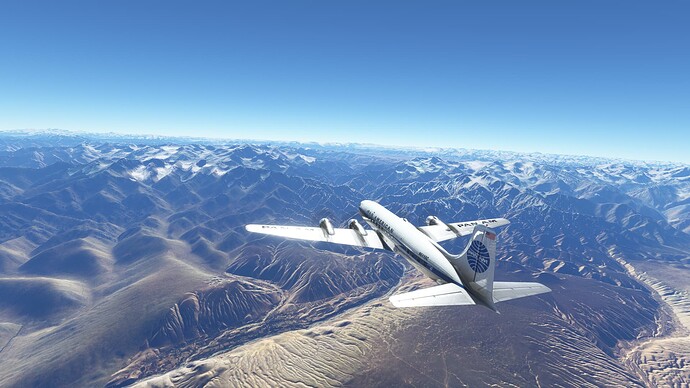
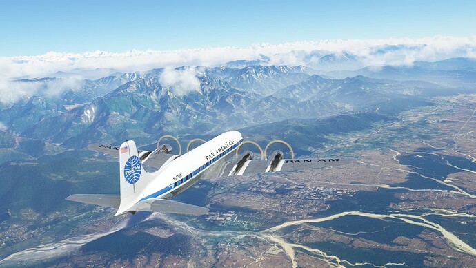
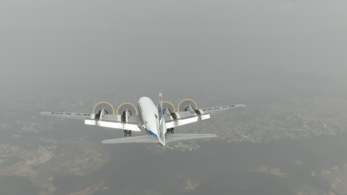
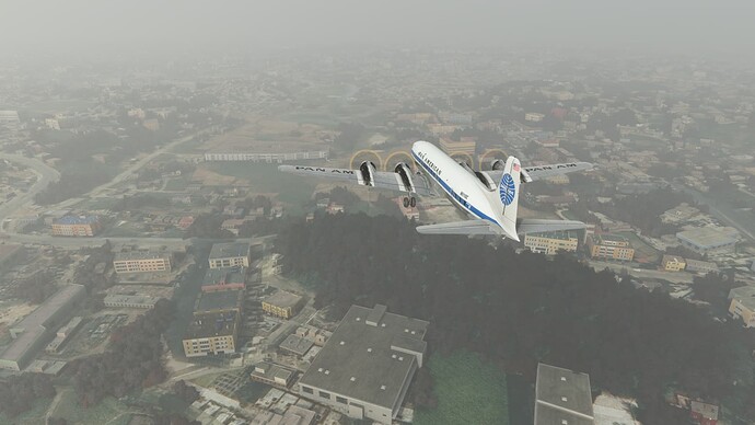
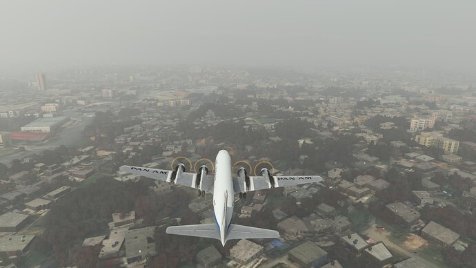
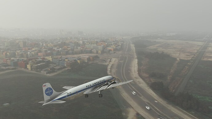
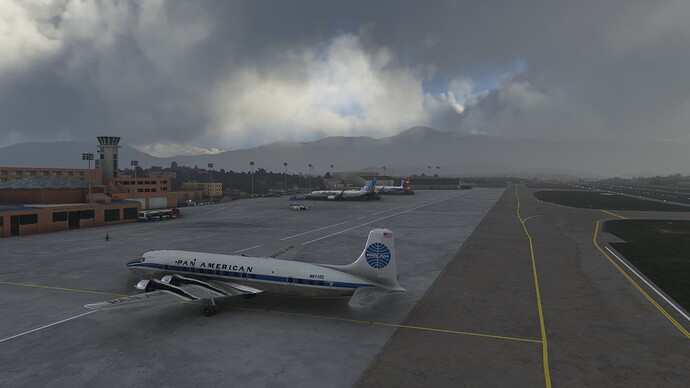
Getting ready for an early morning departure out of Kolkata (Calcutta), India.
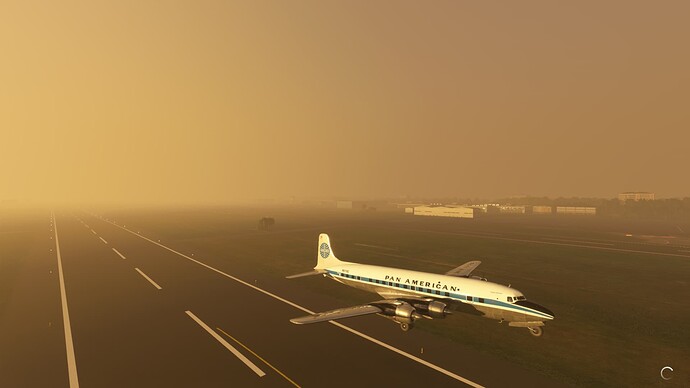
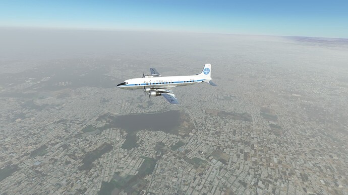
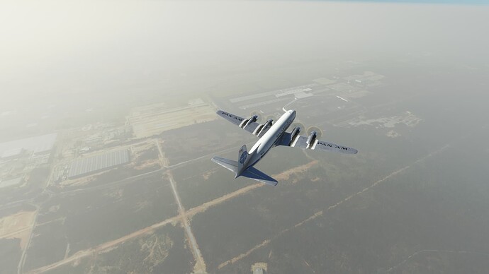
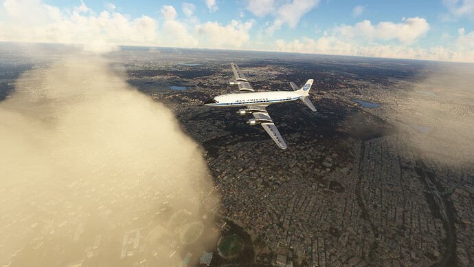
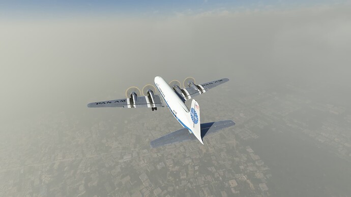
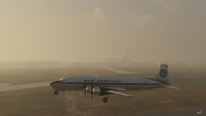
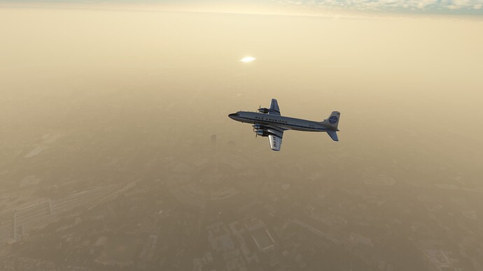
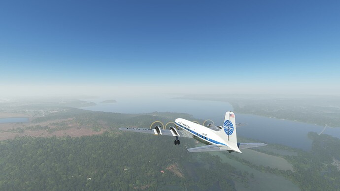
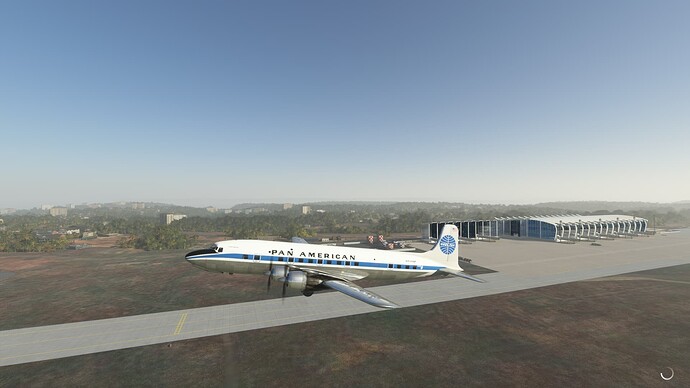
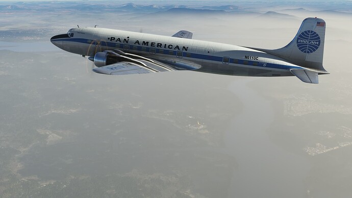
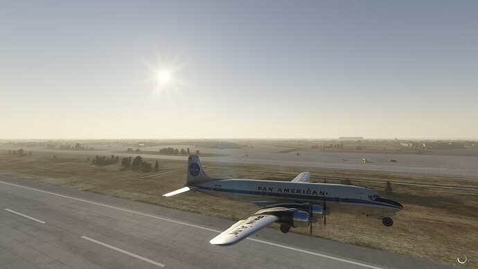
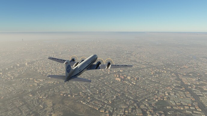
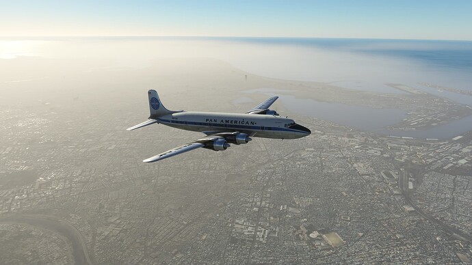
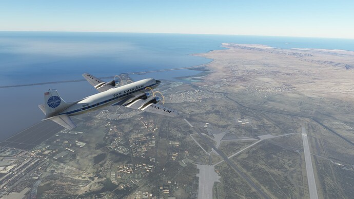
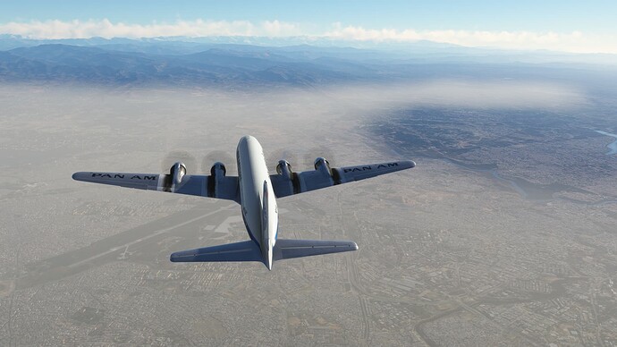
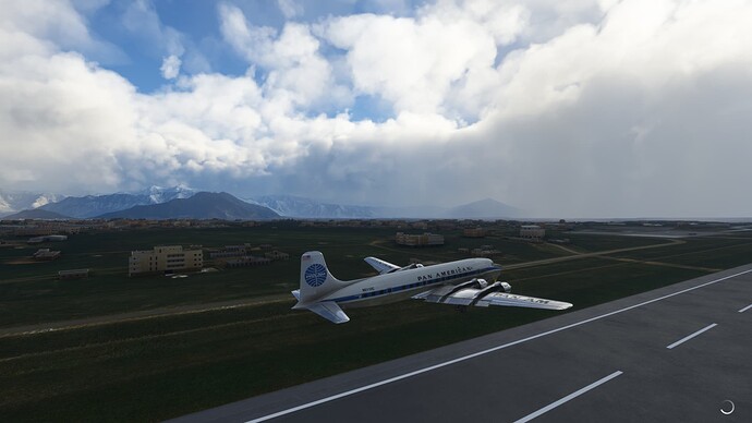
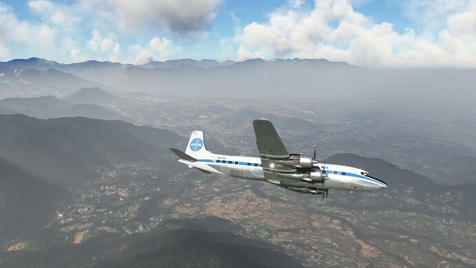
Departing Kolkata (Calcutta), India.
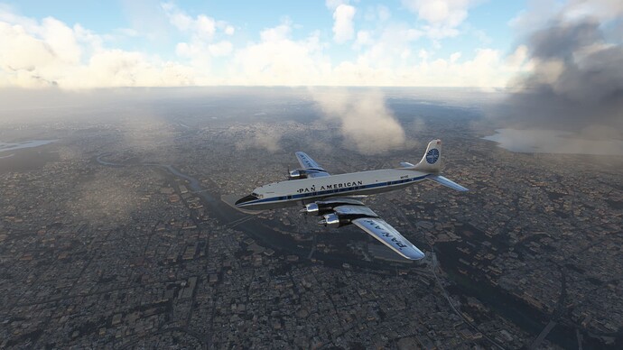
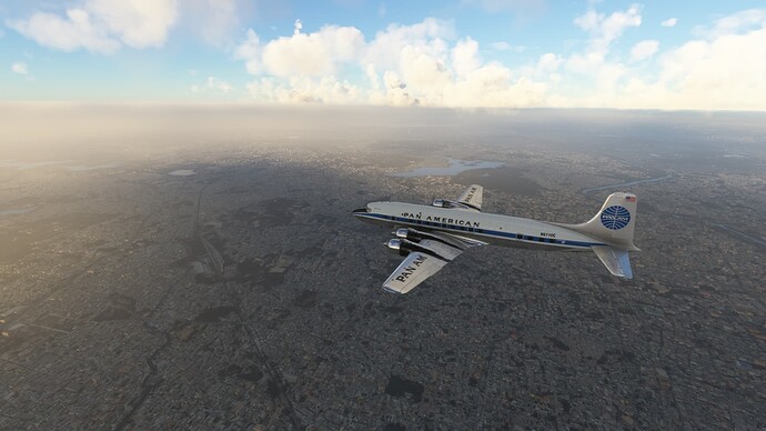
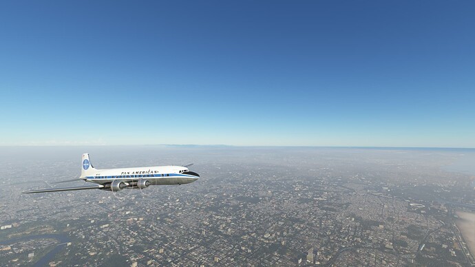
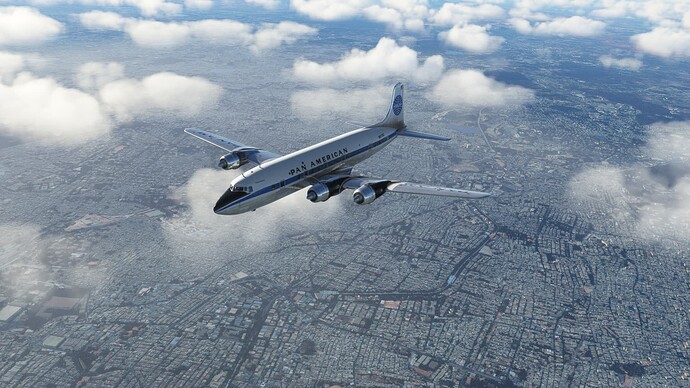
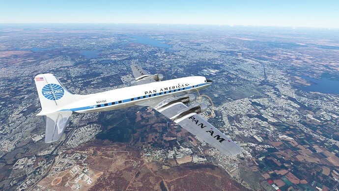
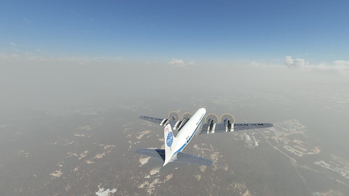
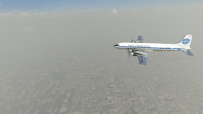
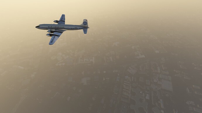
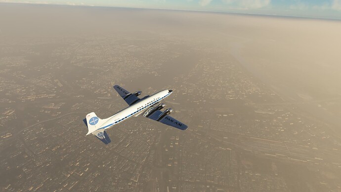
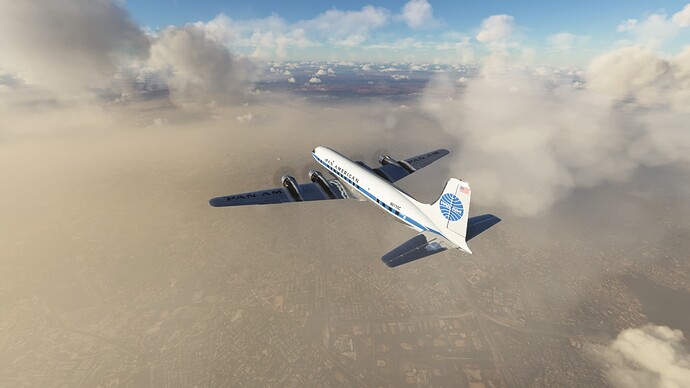
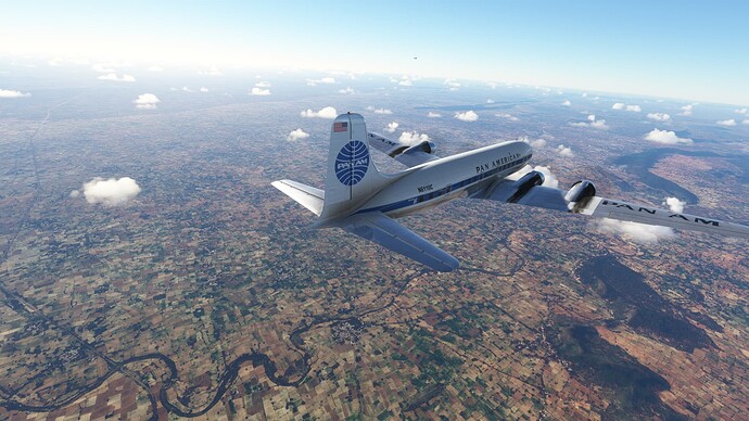
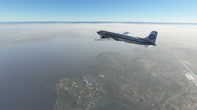
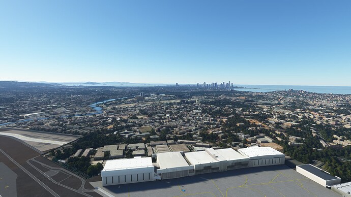
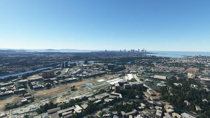
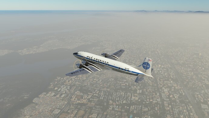
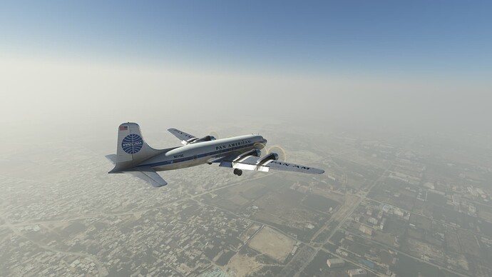
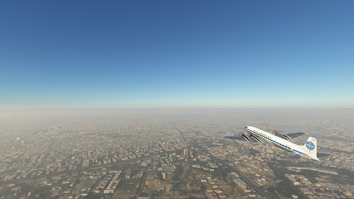
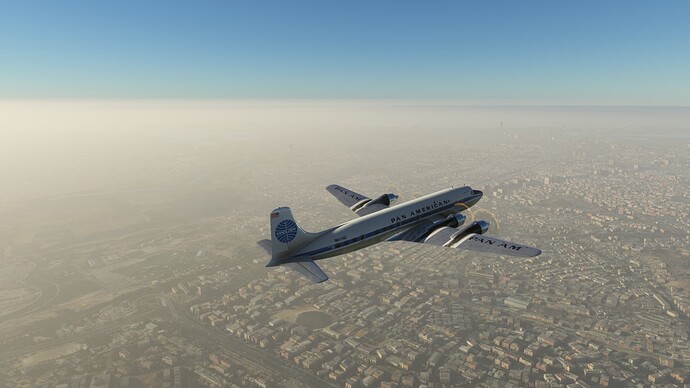
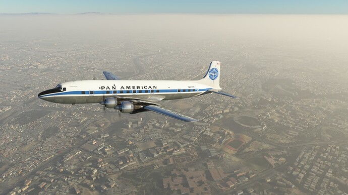
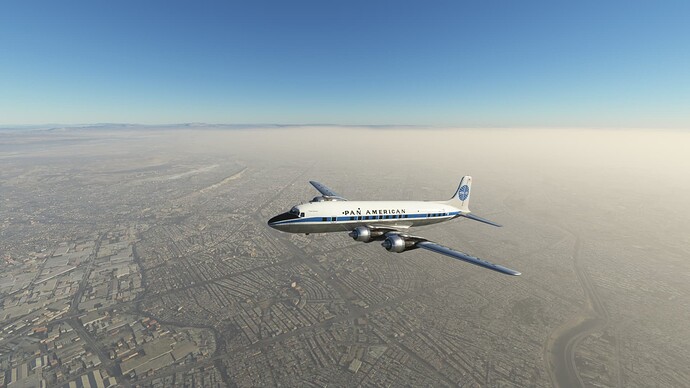
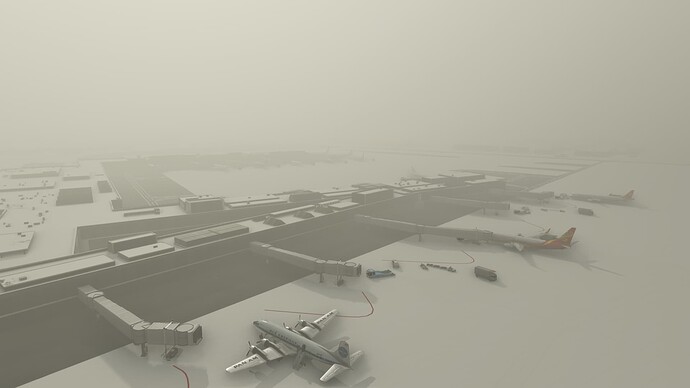
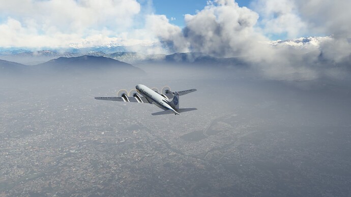
Kolkata (Calcutta) through the smog.
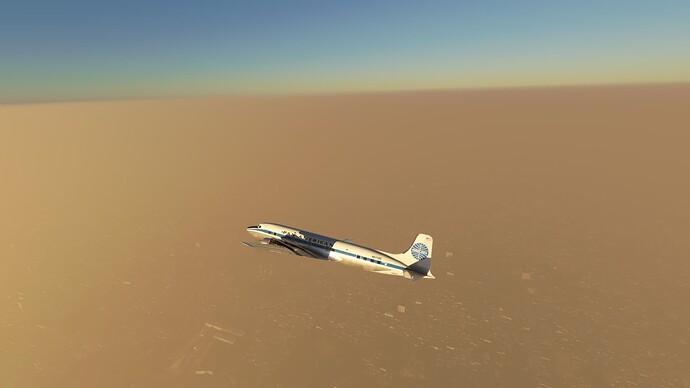
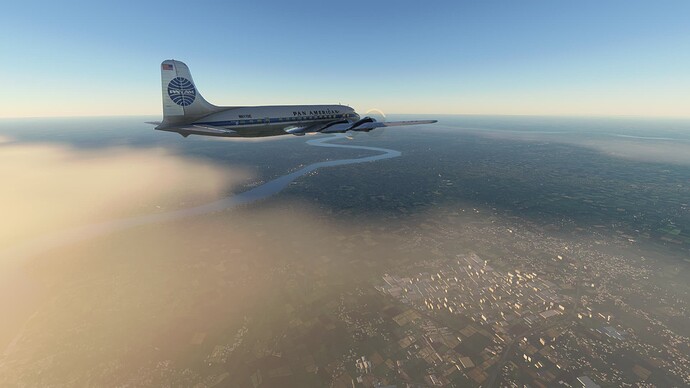
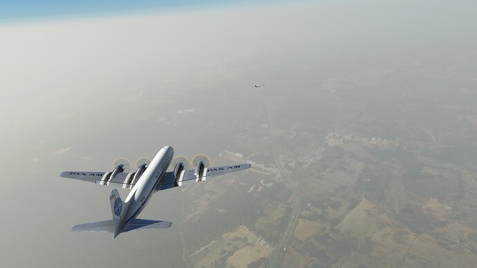
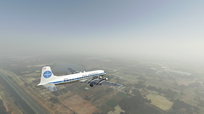
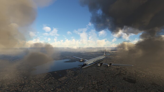
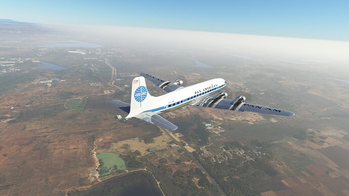
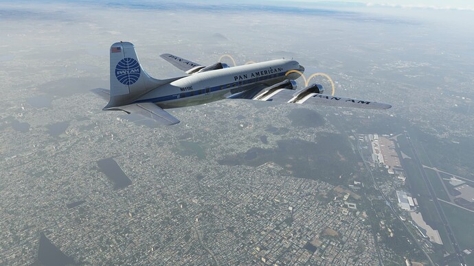
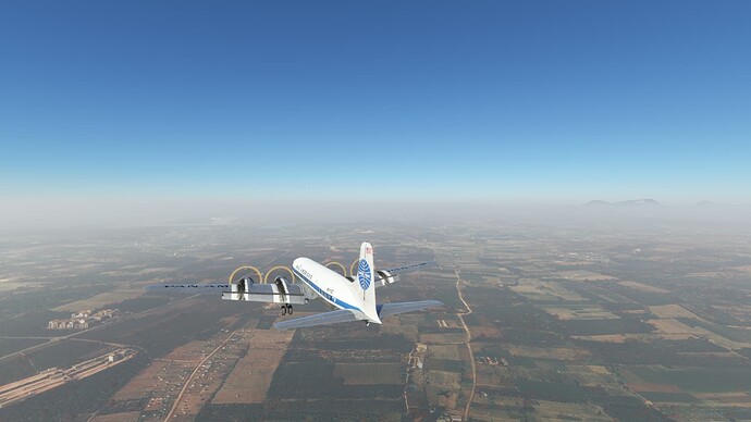
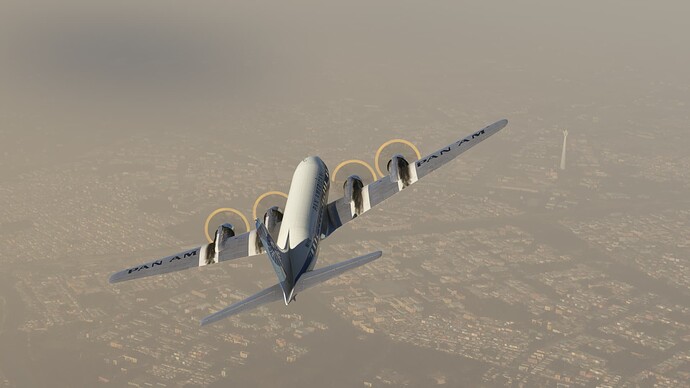
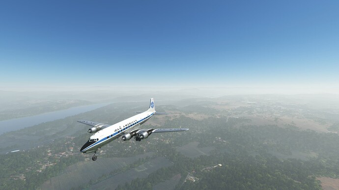
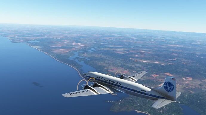
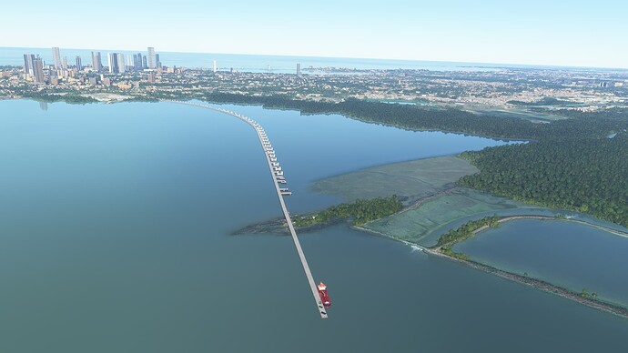
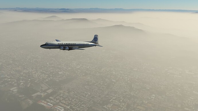
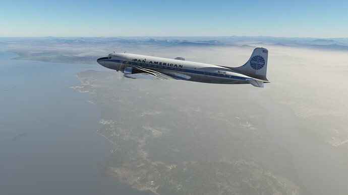
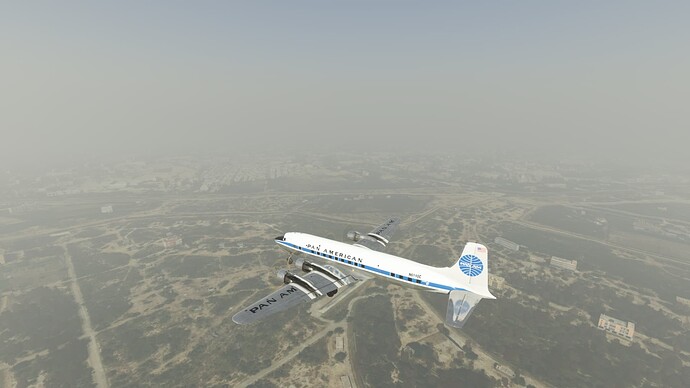
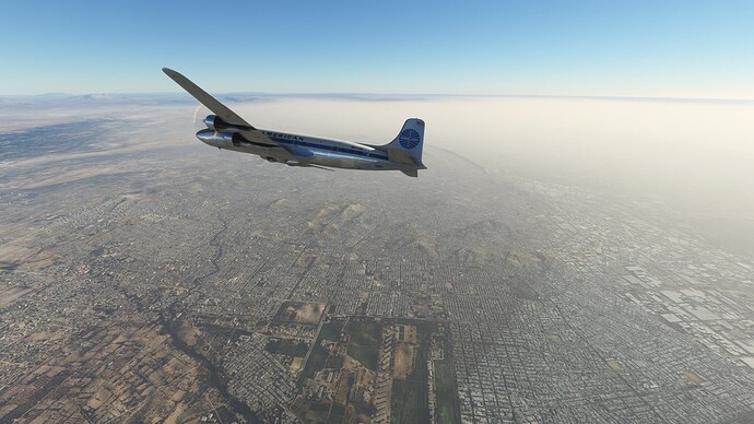
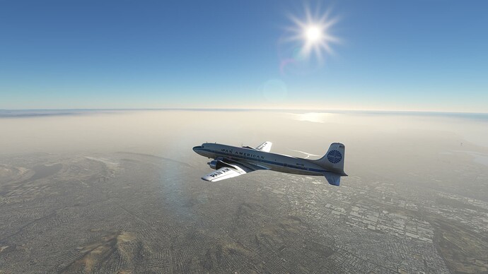
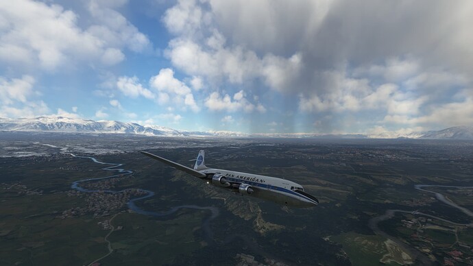
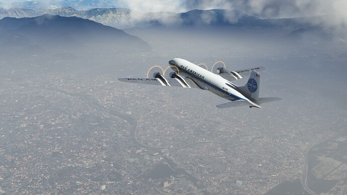
View of the Hooghly River as we escape the pollution haze.
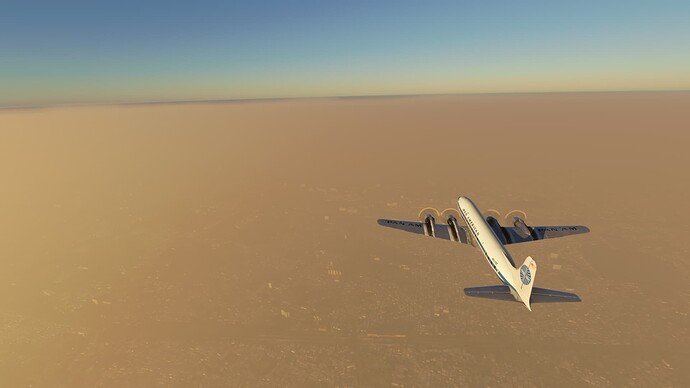
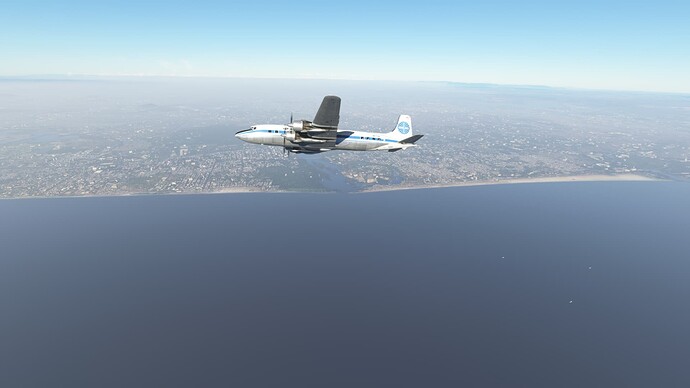
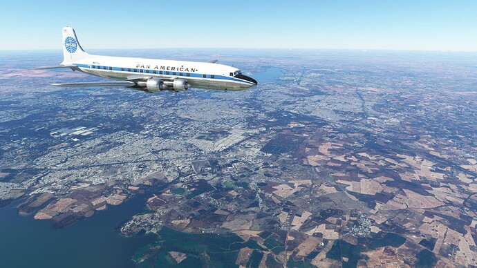
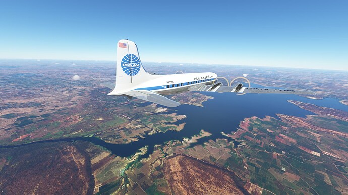
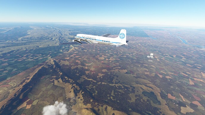
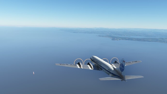
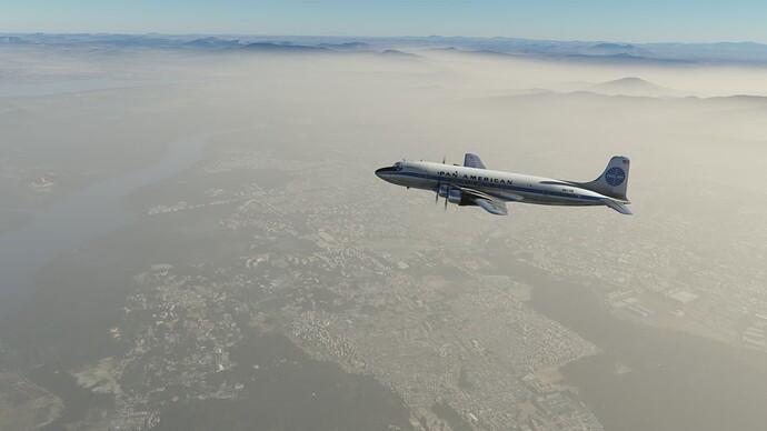
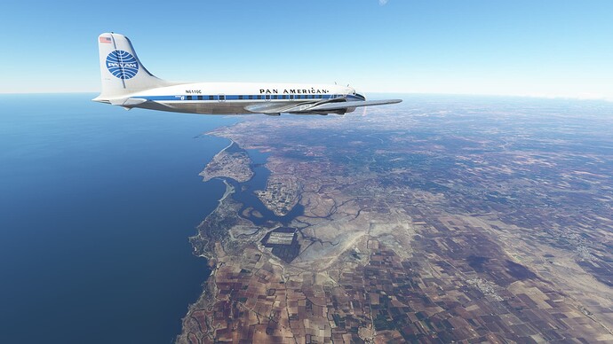
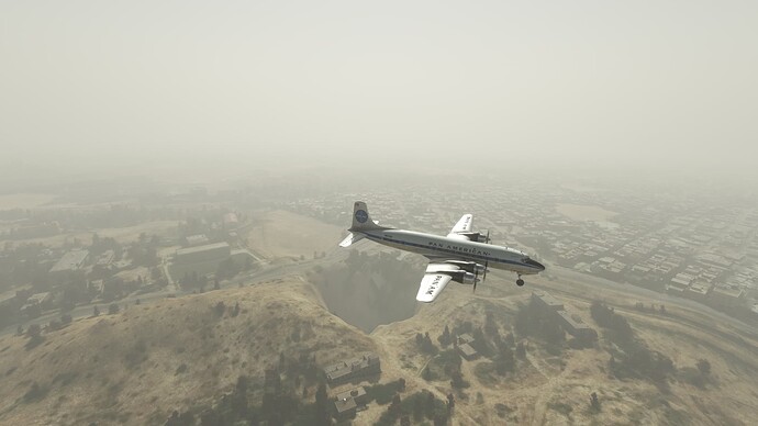
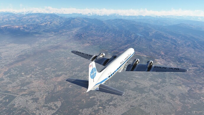
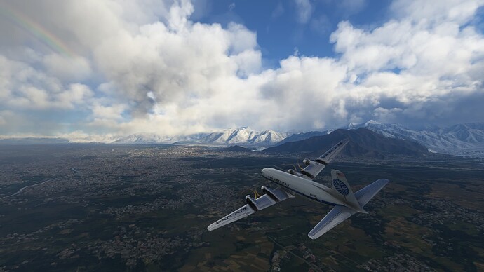
The Rupnarayan River, the Hooghly River delta and the Bay of Bengal.
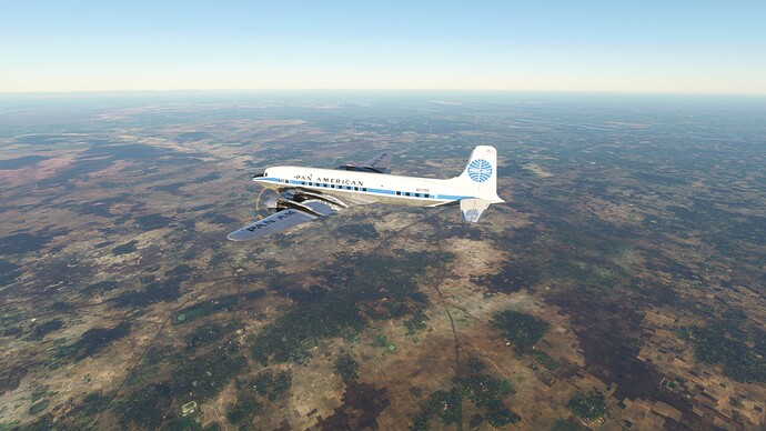
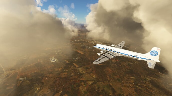
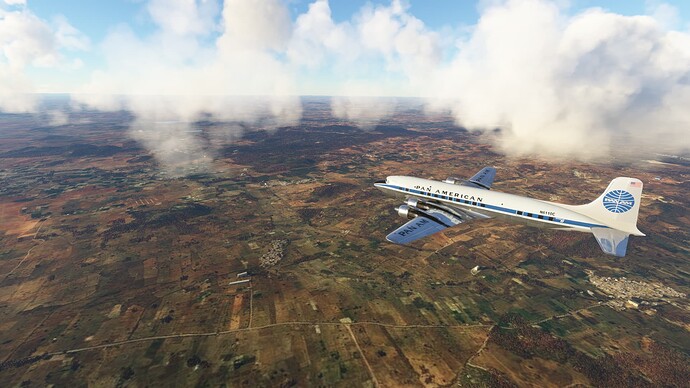
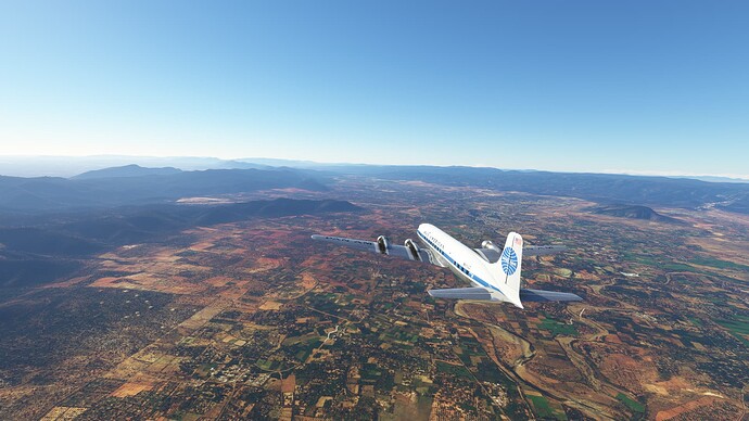
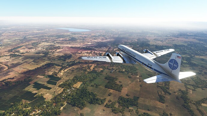
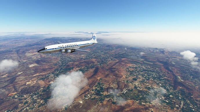
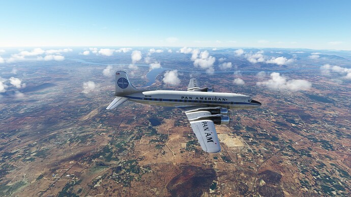
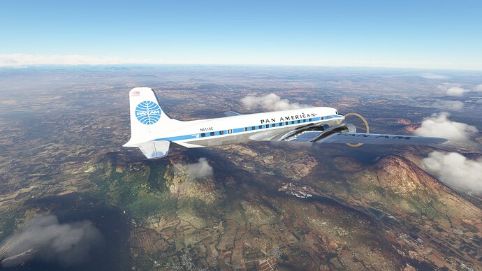
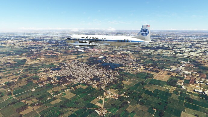
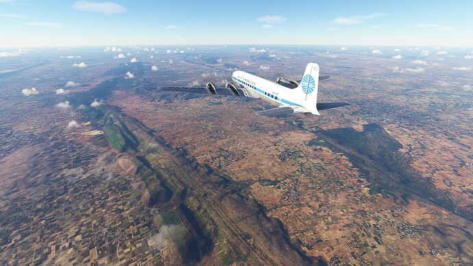
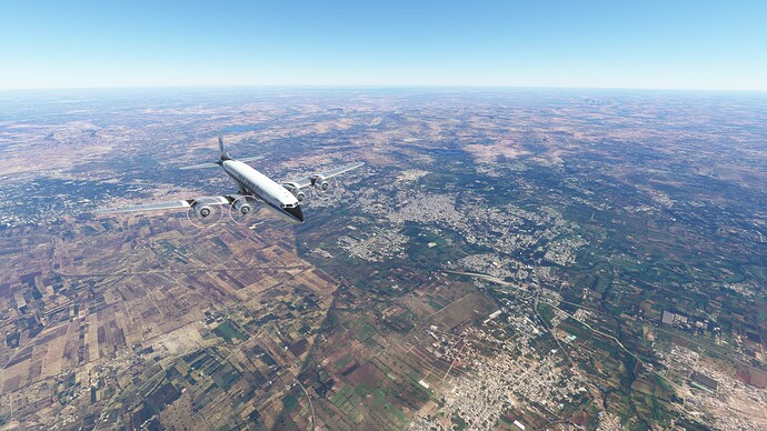
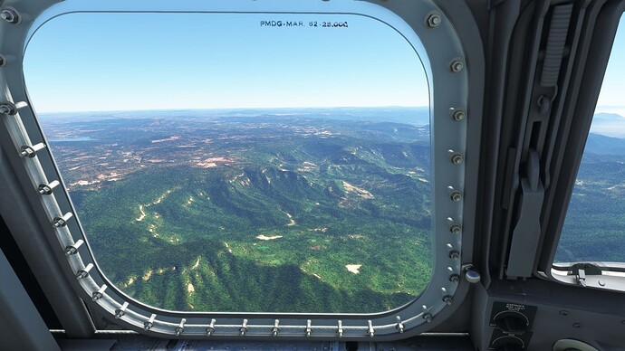
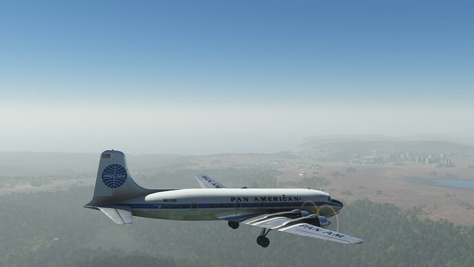
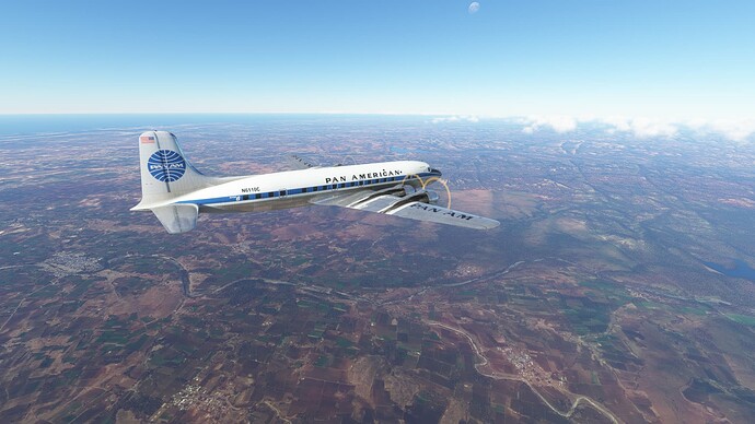
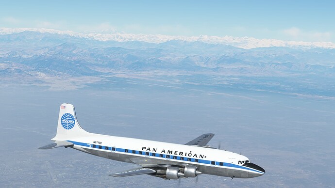
Vast Indian countryside.
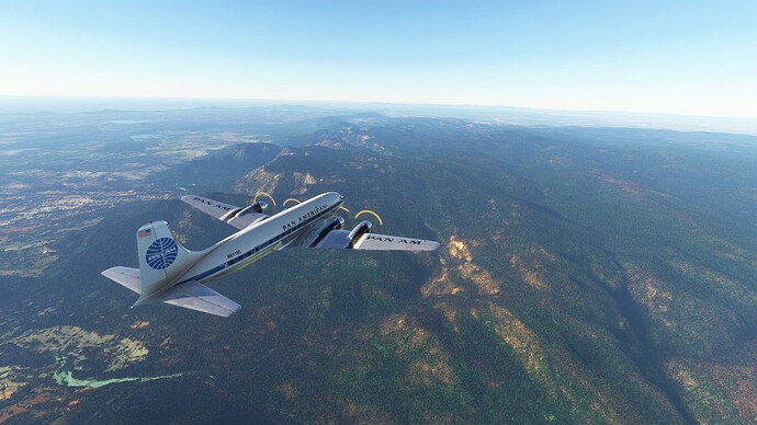
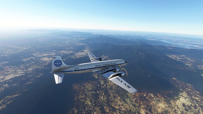
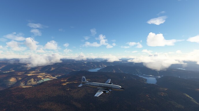
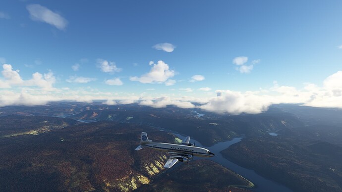
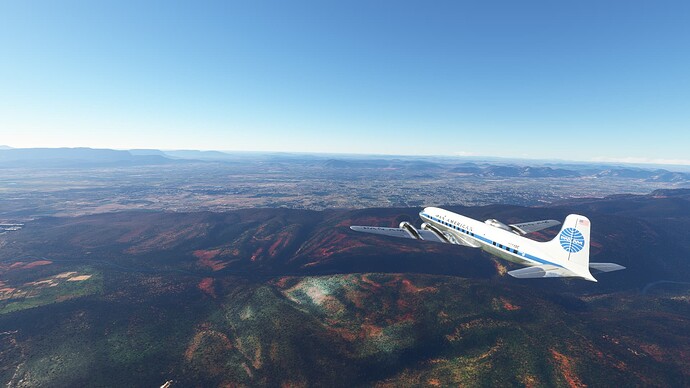
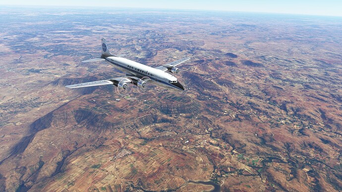
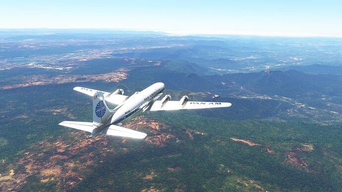
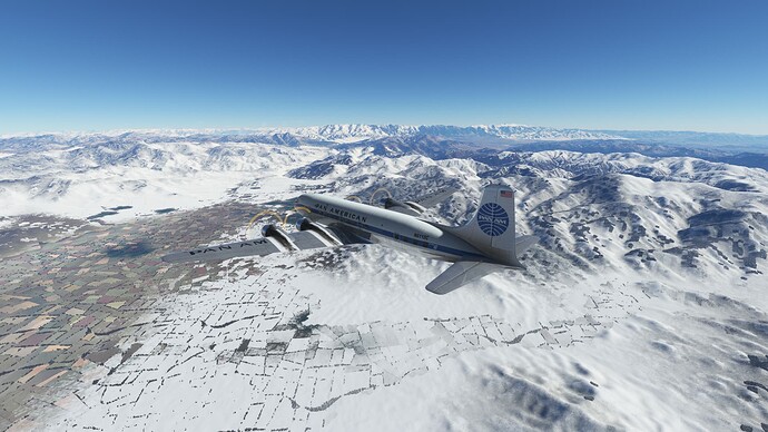
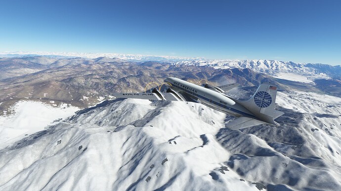
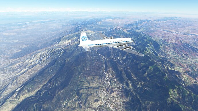
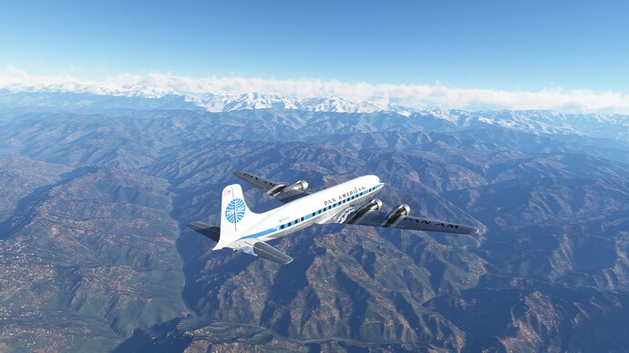
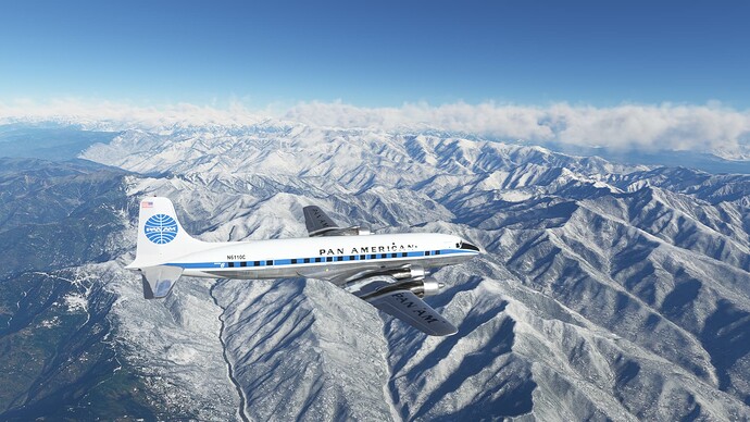
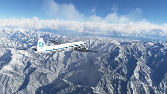
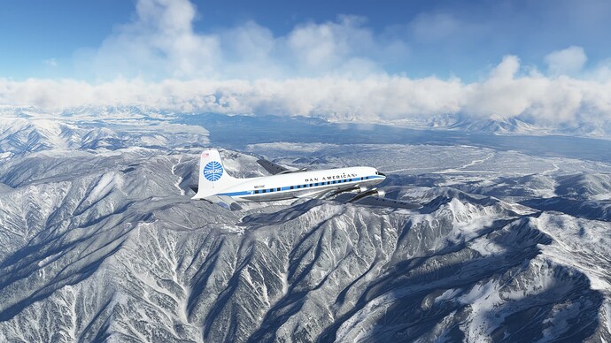
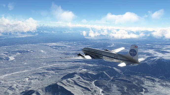
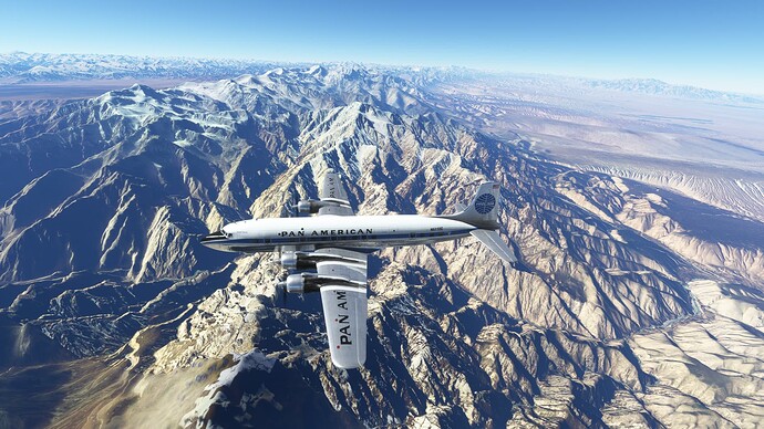
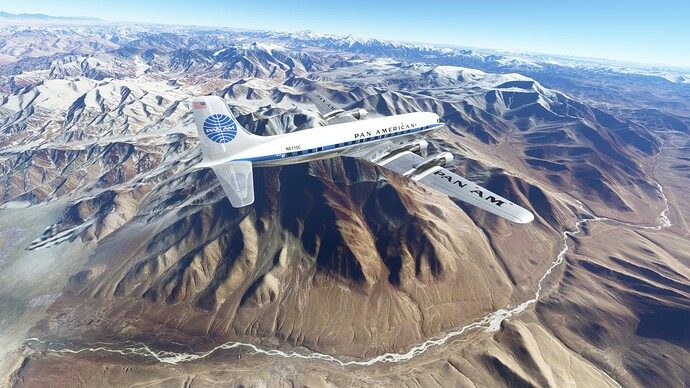
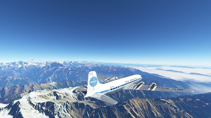
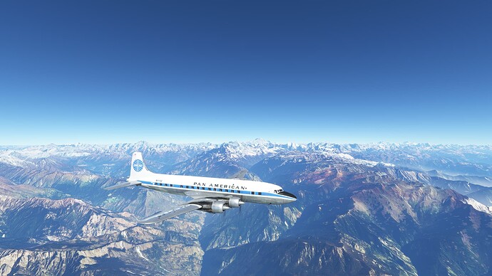
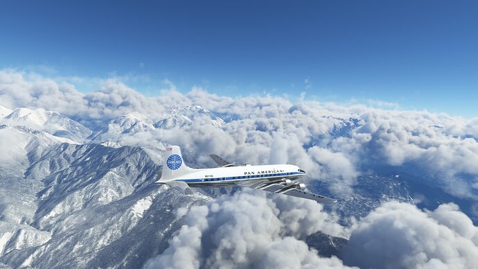
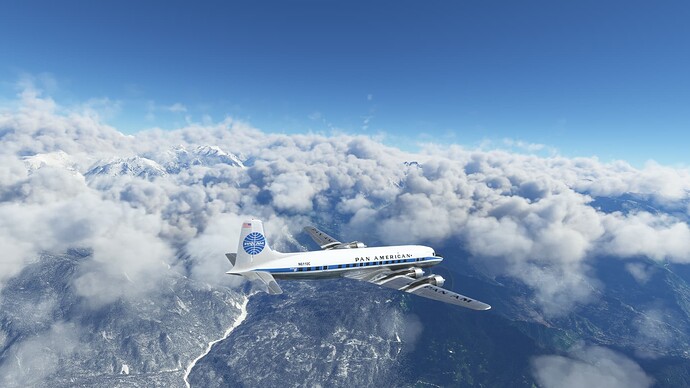
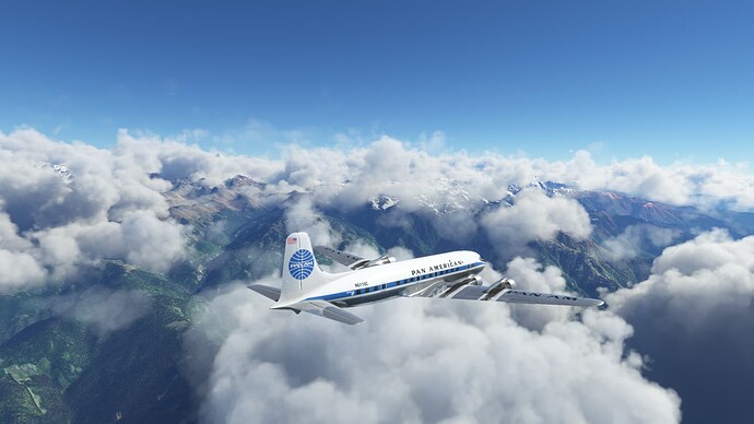
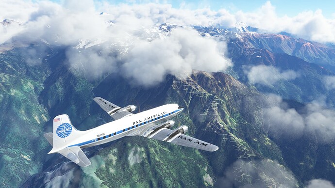
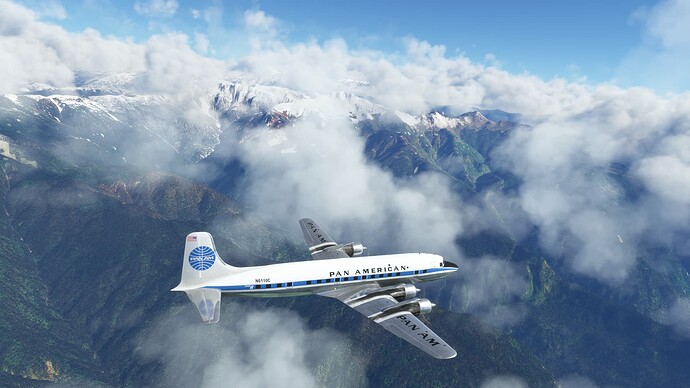
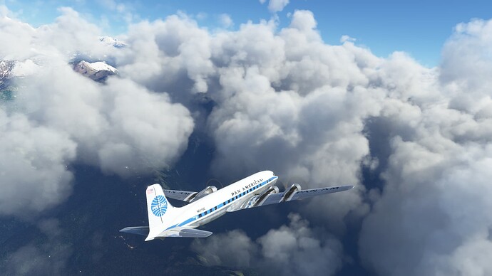
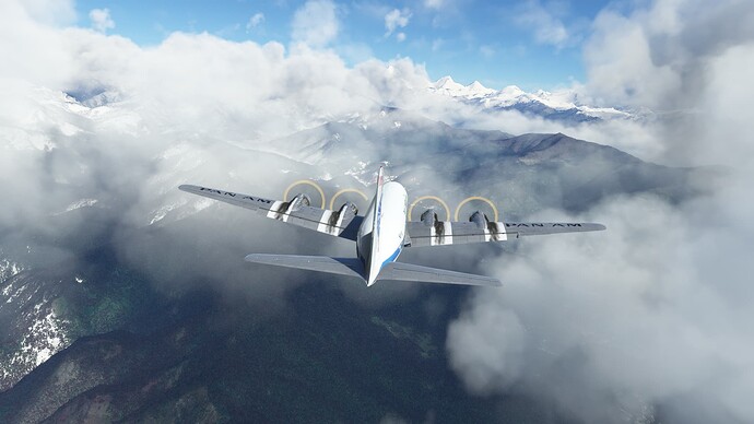
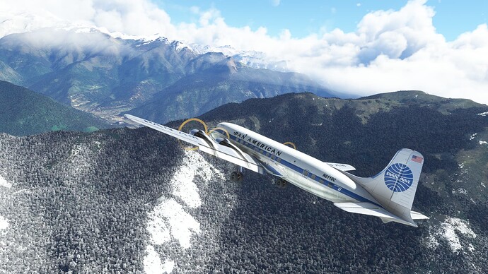
Crossing over some mountains.
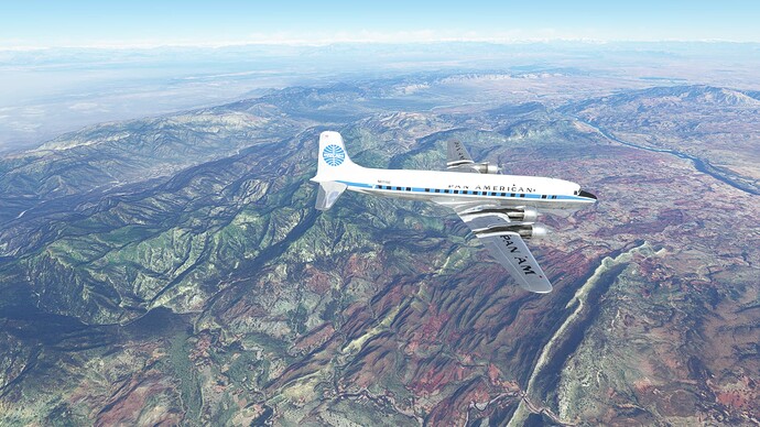
More mountains.
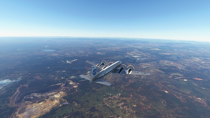
Some morning traffic. A bit too far away to pick up the livery.
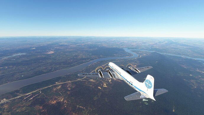
The Brahmani River.
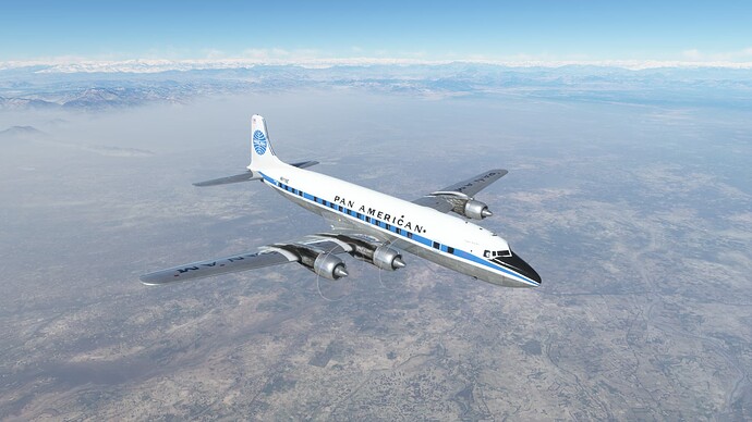
The vastness of the subcontinent.
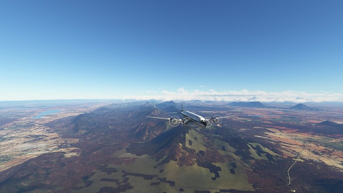
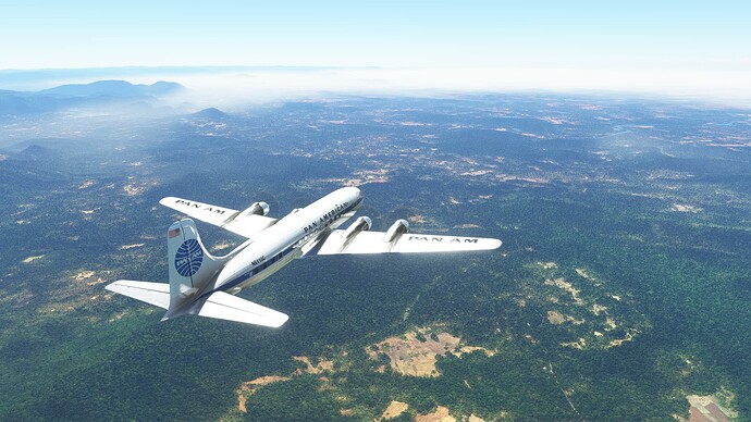
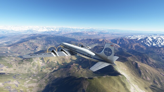
Still more mountains.
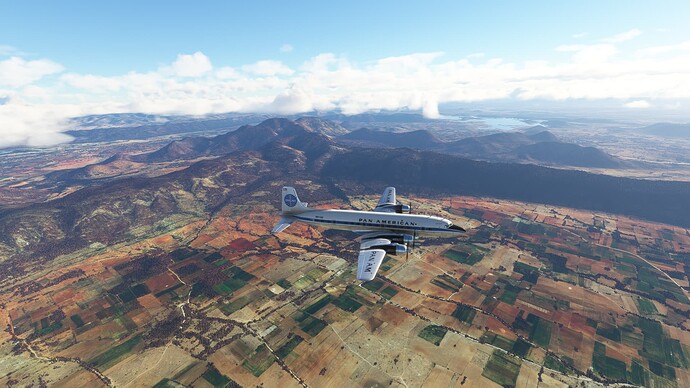
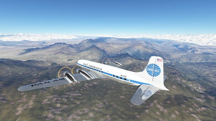
Richly colored landscapes.
Approaching Hyderabad, India and another layer of pollution.
Hyderabad, India.
Over VOHS.
Dash-8 traffic inbound.
Somewhere on the ILS RWY 09R…
Arriving in Hyderabad, India.
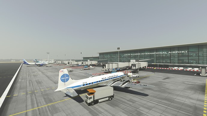
Shutting down at Rajiv Gandhi International Airport (VOHS), Hyderabad, India.
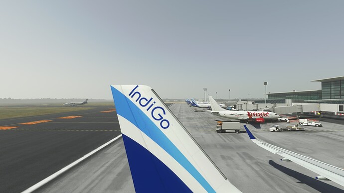
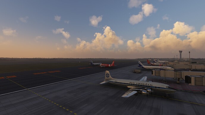
Looking down the flight line.
About to join the morning rush to depart Hyderabad.
Looks like the back taxiing algorithm isn’t working too well in AIG at the moment. I think we will take the intersection take off and get the heck out of here!
Positive rate, gear up!
Hyderabad, India.
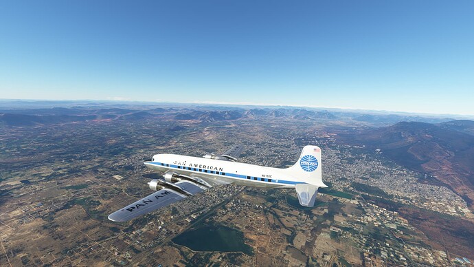
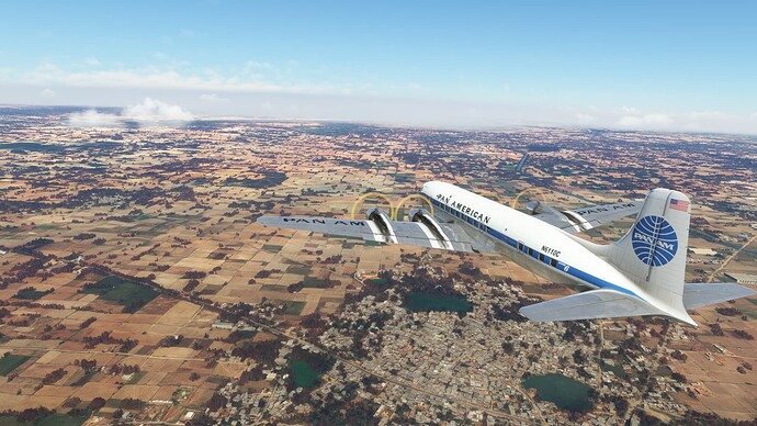
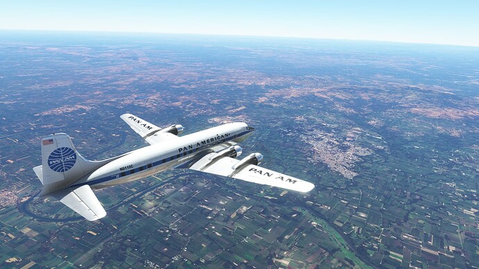
Indian countryside.
Mountains and bends in the Krishna River.
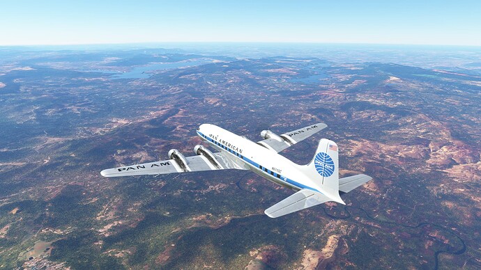
Stunning colors in the valley.
Just enjoying the scenery…
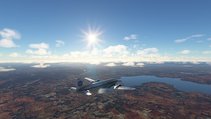
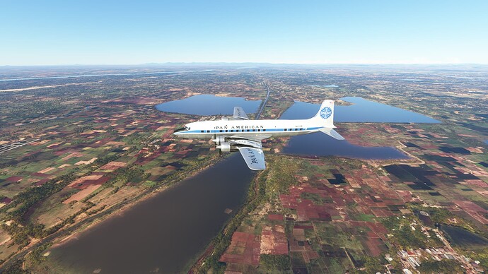
The Somasila Reservoir.
More stunning colors.
Passing by Tirupati, India.
Nearly to KKP VOR.
And the town of Kanchipuram.
The Palar River.
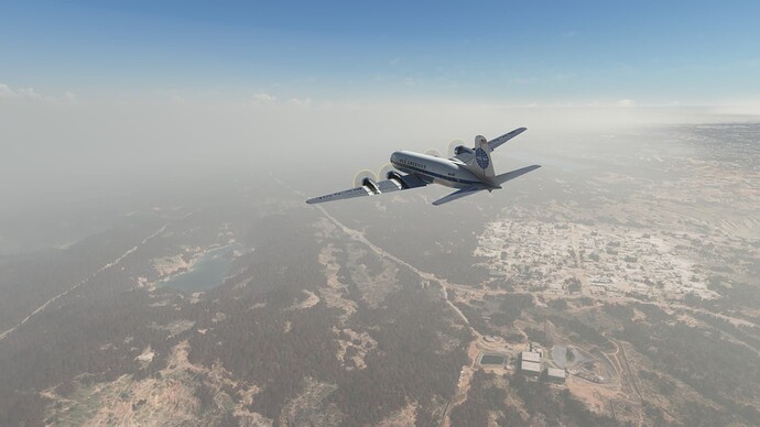
Approaching the smog layer.
Inbound on the ILS RWY 07 approach, VOMM.
Passing over the outer marker.
Wheels-eye view.
Arrived!
Getting ready to debark at Chennai International Airport (VOMM), Chenai, India.
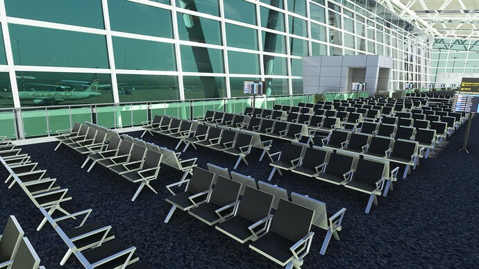
Watching Ethiad taxi from the upper departure lounge.
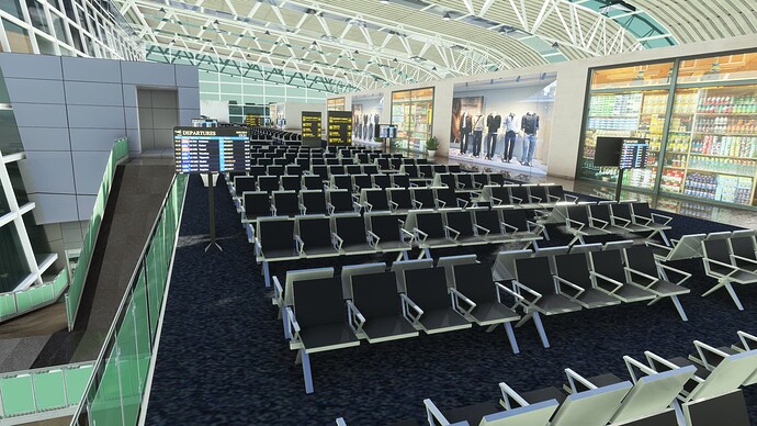
A better view of the departure lounge.
Looking towards the west side of the terminal.
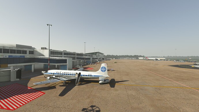
This airport is busy!
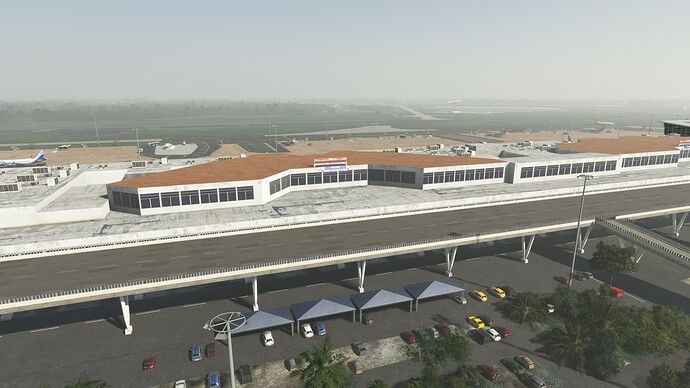
Land-side views of VOMM.
Number 3 to go at Chennai, India.
On our way.
Chennai, India. Looks like there are some nice beaches there.
Just outside of Chennai.
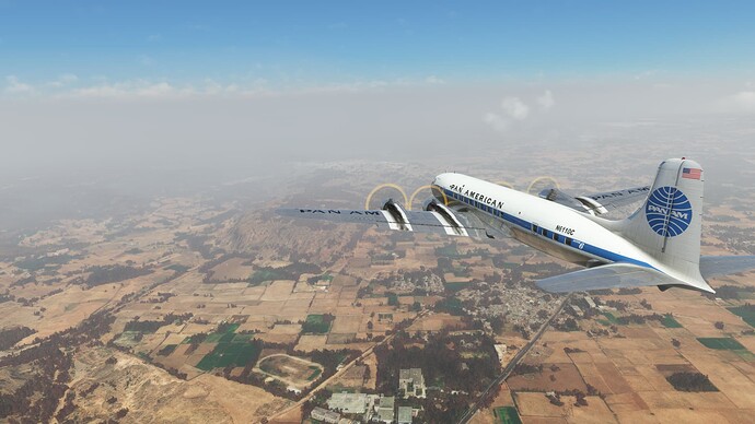
Countryside.
The Palar River.
More vibrant earth tones.
Inbound ILS RWY 27R VOBL.
Final approach.
Hello Bangalore.
Kempegowda International Airport (VOBL), Bengaluru (Bangalore), India.
1 Like
On the way to New Delhi, India. Forgot to grab a departure shot.
A quick circuit of Bengaluru (Bangalore), India before we head north.
Passing back over VOBL.
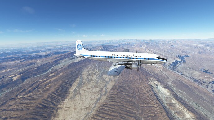
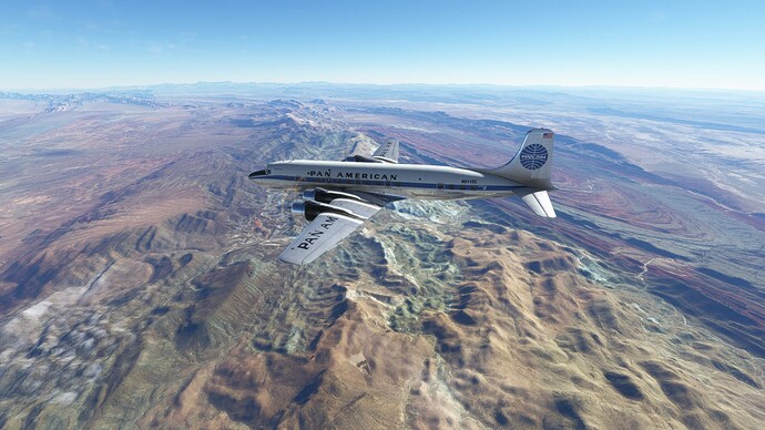
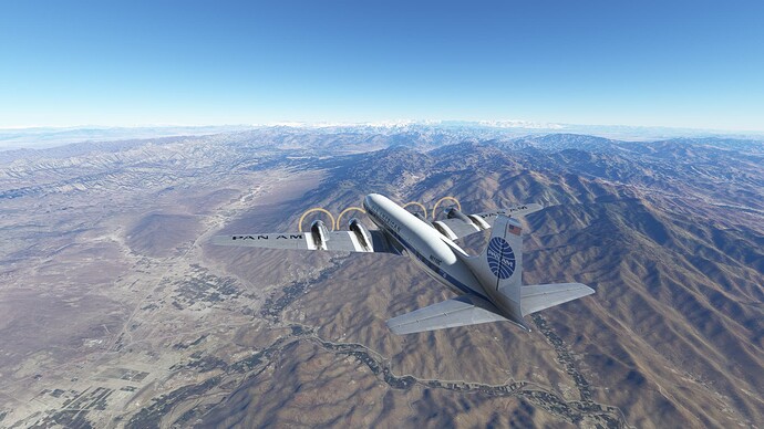
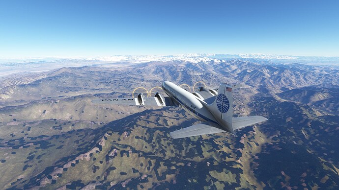
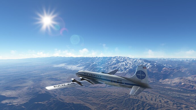
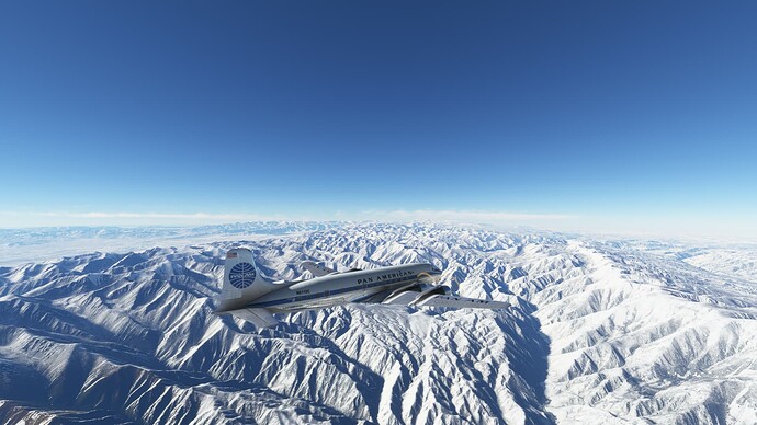
Crossing over the high terrain for the day.
India’s version of the Great Plains?
Unclear what town this is, but I liked the bridge.
Love the different colors of the farmland.
The vastness of the subcontinent on full display.
Crossing over the River Tungabhadra.
The Krishna River with Srisailam Lake in the background.
Singur Lake in the distance.
Some bumps in the terrain.
Interesting geology.
More gorgeous colors–love the greens together with the browns.
Over Bhopal, India.
Halali Lake.
Still more lakes. Sanjay Sagar Lake in the distance.
Sanjay Sagar Lake.
I wonder what is growing in the magenta fields.
The color of the countryside has gone from browns to greens.
We can see the tilled fields from 5,000’. That is the Sindh River that we are paralleling.
We’ve just picked up the Agra VOR. Time to take a little detour to check out the Taj Mahal.
Back to golds and browns. Descending down to 3,000’ to hopefully squeeze under this scattered layer and get a good view of the Taj Mahal.
More farmland outside of Agra, India.
Crossing some tributary outside of Agra.
Getting close–23 nm to Agra.
Is that the Taj Mahal in the distance? We are 10 nm out from Agra.
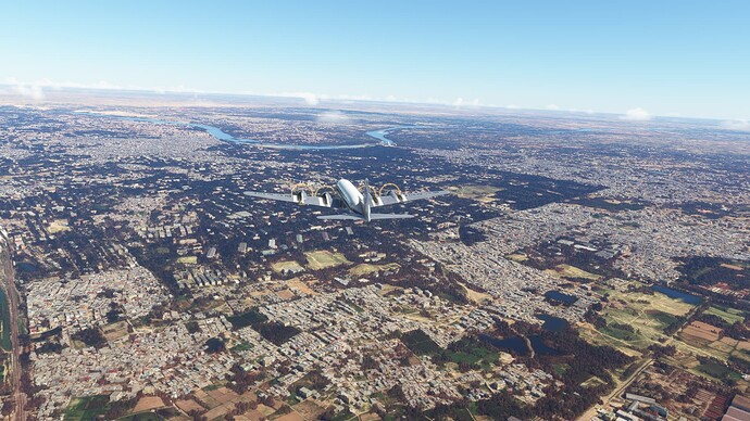
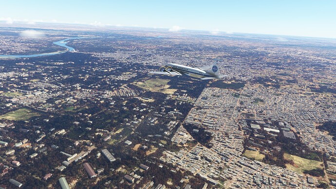
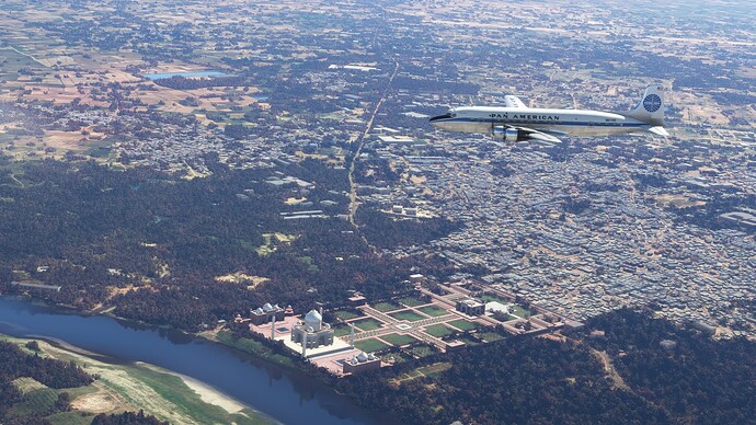
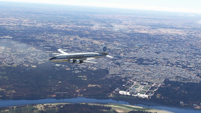
Agra, India.
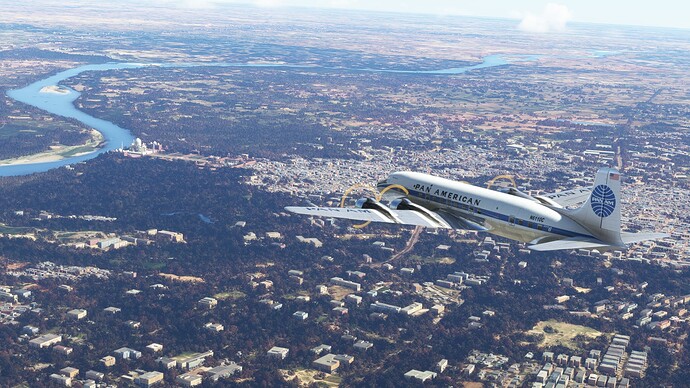
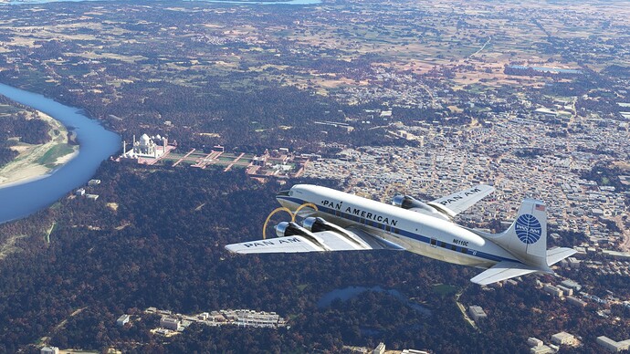
The magnificent Taj Mahal, Agra, India.
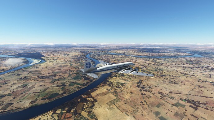
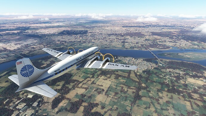
The River Yamuna.
Mathura, India.
A village outside of New Delhi.
More villages, but the oncoming smog bank must signal New Delhi.
Entering the smog bank; hoping for some views of New Delhi.
Kind of cool terrain…
New Delhi through the smog layer.
Safely down at Indira Gandhi International Airport (VIDP), Delhi, India. No landing shots either; the sim crashed while I was on approach and though I was able to use Sky Dolly to recover the flight, I forgot to restart recording as I was busy getting the airplane configured. Nasty approach to minimums. Missed twice before I was finally able to sneak in. It would be nice if the sim was smart enough to turn on the approach lights during the day when conditions are IMC.
Hazy morning taxiing out at Indira Ghandi. India is a pretty country, but I’m not going to miss the low visibility around the major cities.
Departing VIDP.
Delhi / New Delhi on the way out.
Interesting geology.
Hmm. Cylinder Head Temp gauge for number 4 looks broken. Way too cold for a running engine and cowl flap changes have no effect. Cycling the engine instruments to standby did nothing. Everything else about number 4 is nominal, so we will continue on and get this checked out when we get to Goa.
Traffic in sight!
More interesting geology.
Transitioning back to the flat lands.
Endless farmland.
Ahmadnagar, India.
More fascinating terrain upheavals.
Kodoli, India.
Looks a bit like Texas hill country.
Arghh, another smog bank. I was hoping the proximity to the ocean would make Goa’s air quality better.
On the approach, ILS RWY 26.
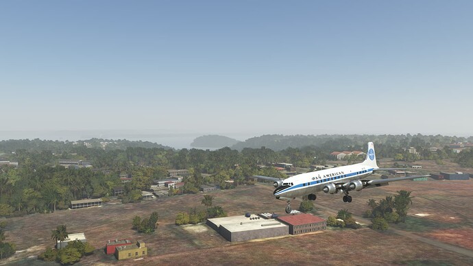
Arriving in Goa.
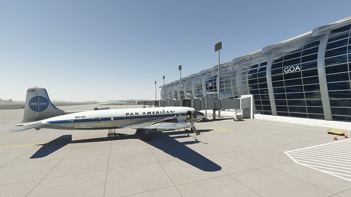
Ending the day at a deserted Dabolim International Airport (VOGO), Goa, India.
Starting the day with some better visibility. Still nobody here at Goa, but I expect Mumbai will be busy.
Color us gone!
Some views of the coast on the way out.
Coastal farmland.
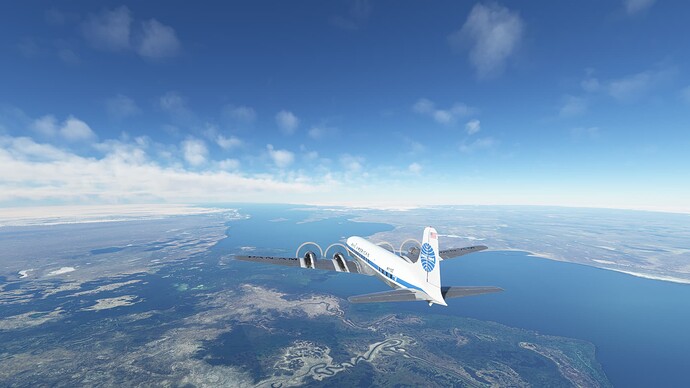
The estuary of a river, the name of which I could not discover.
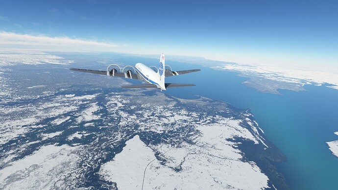
Out over the water, about 50 nm back from Mumbai.
Smog ahead. What is the point of having Mumbai scenery if you can’t see it?
Enjoying the views while we can.
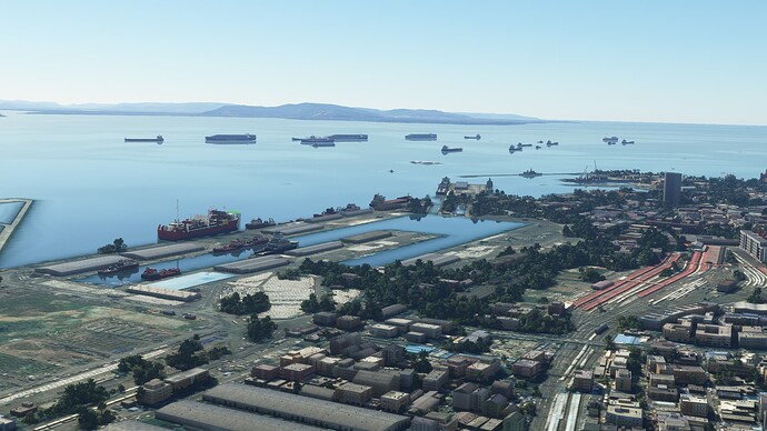
Ship traffic.
Arrived at Chhatrapati Shivaji Maharaj International Airport (VABB), Mubai (Bombay) India. Didn’t get a landing shot because I had to recover the flight when I lost all scenery and forgot to restart the recorder.
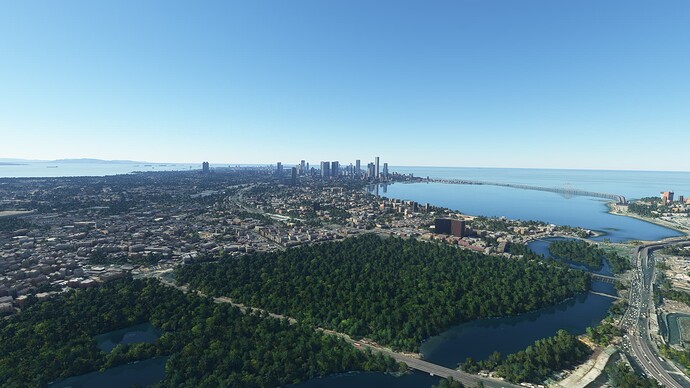
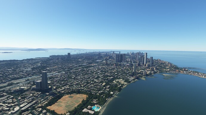
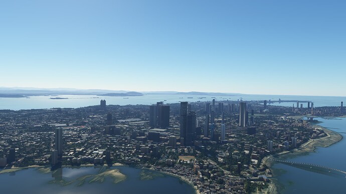
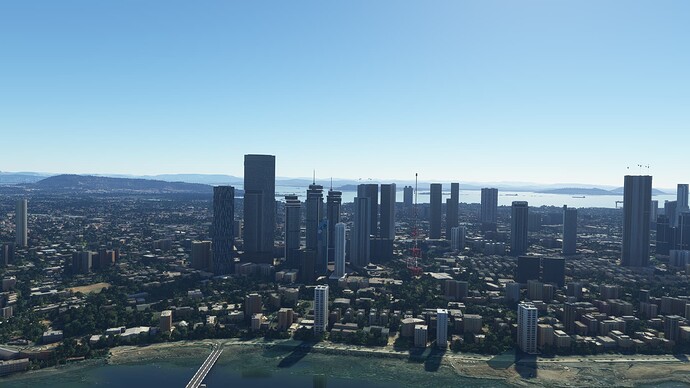
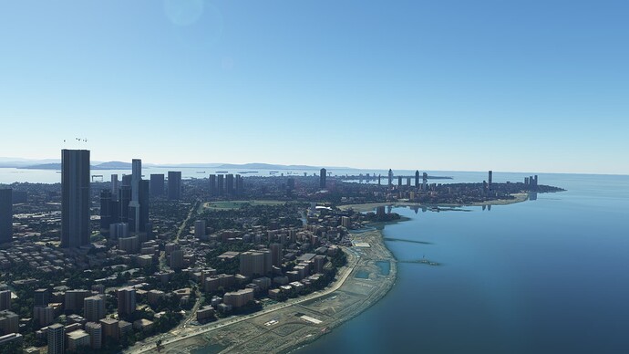
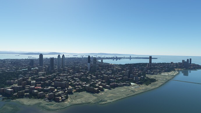
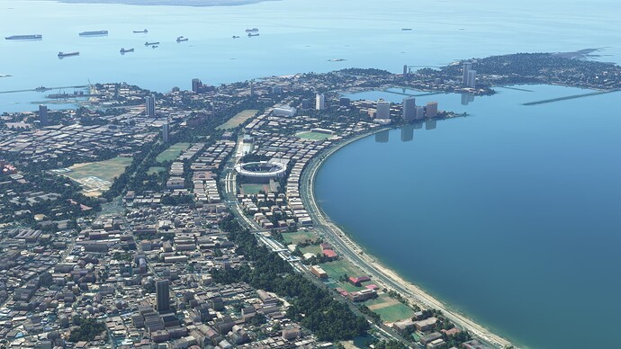
Mumbai, India. The city is pretty spectacular once the smog is removed.
Navi Mumbai.
VABB and the city of Mumbai.
1 Like
Joining the morning line up to depart Mumbai.
Off we go.
Views north of Mumbai, not sure if this is still part of the city
Not sure what this is, but it looks cool.
About to head out over water for a while.
Land ho!
The moon and the Indian countryside.
More brilliant colors.
A mountain lake and the city of Junagadh, India in the background.
I like the color of the water in the lake.
Reliance Refinery.
Looks like a dock complex for the refinery.
The town of Narayan Sarovar, India.
Strange islands near the India-Pakistan border.
Hello Pakistan.
Getting close to Karachi. More smog ahead.
Some airport on the outskirts of Karachi.
Karachi from the ILS Z RWY 25L approach.
Crosswind landing in Karachi.
Jinnah International Airport (OPKC), Karachi Pakistan
Getting ready to depart Karachi, Pakistan.
Wheels up at OPKC.
Karachi, Pakistan.
Pakistani countryside, just north of Karachi.
Qubba Saida Khan.
Beautiful desolation.
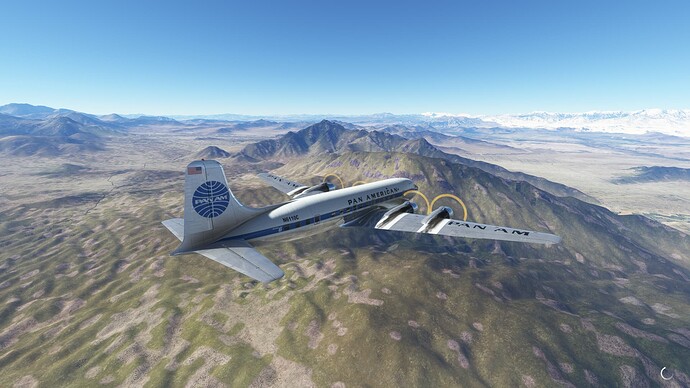
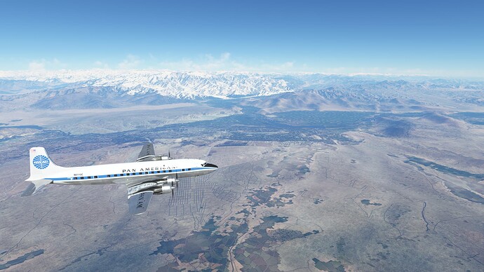
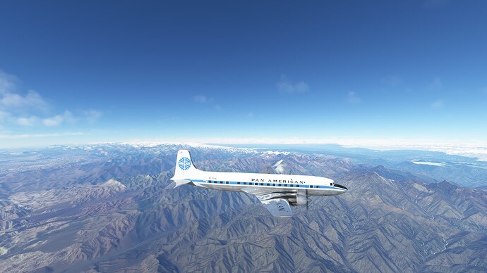
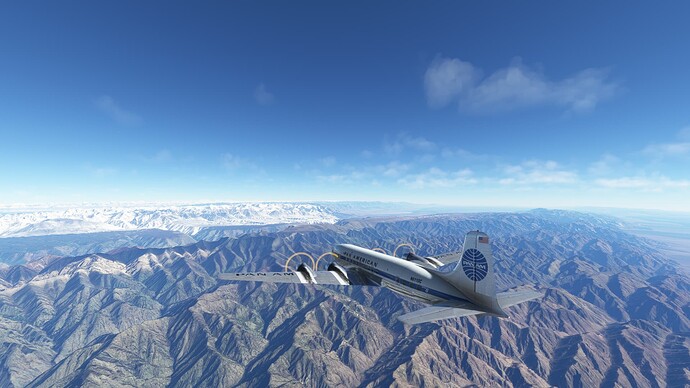
Crossing into Afghanistan with the Hindu Kush mountains in the distance.
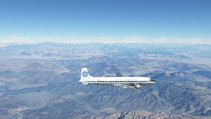
Closing in on the Hindu Kush.
Getting banged around at 17,000’.
Starting our descent into Kabul, but the mountains are pretty high in all directions!
On the long approach, threading through the lesser mountains.
Dumping altitude like crazy as we approach Kabul.
Established on the ILS RWY 29 approach, OAKB.
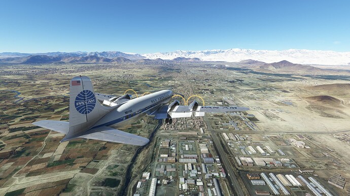
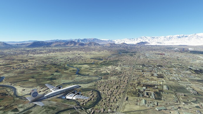
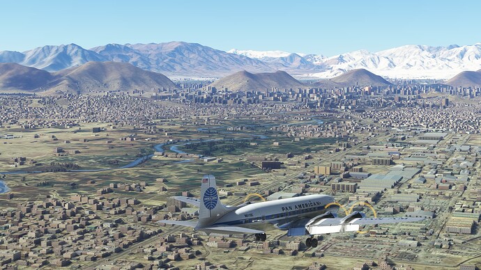
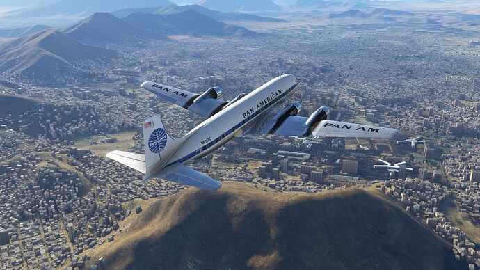
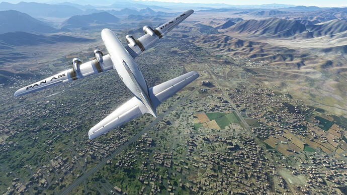
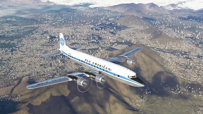
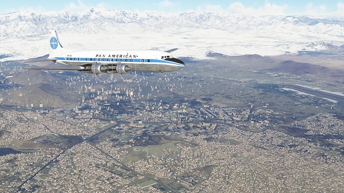
Views of Kabul, Afghanistan.
Arriving in Kabul.
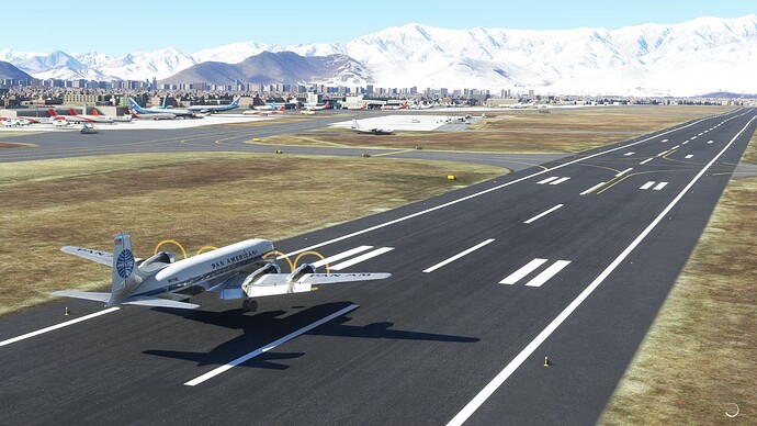
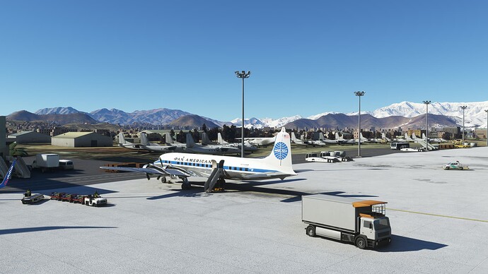
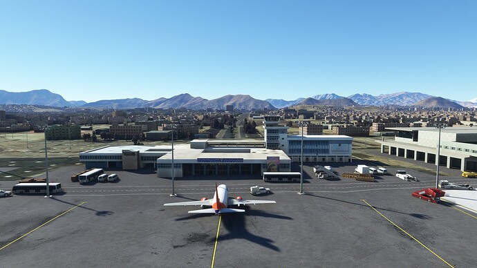
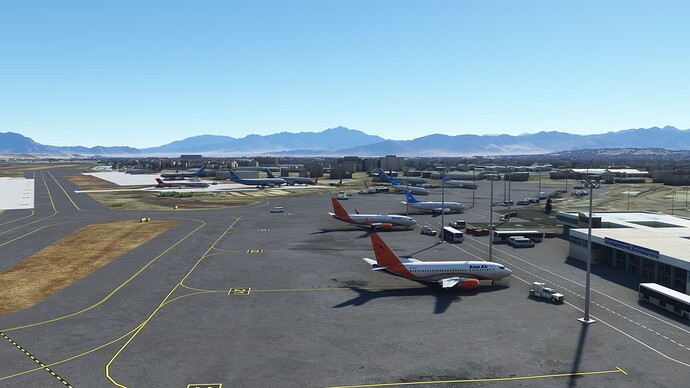
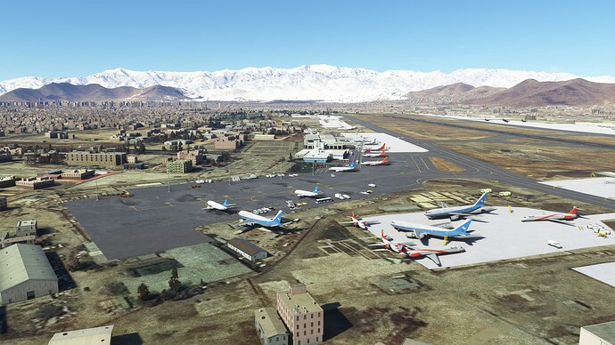
Down and parked at Hamid Karzai International Airport (OAKB), Kabul, Afghanistan.
Views of the airport and Kabul. What a spectacular city.
1 Like
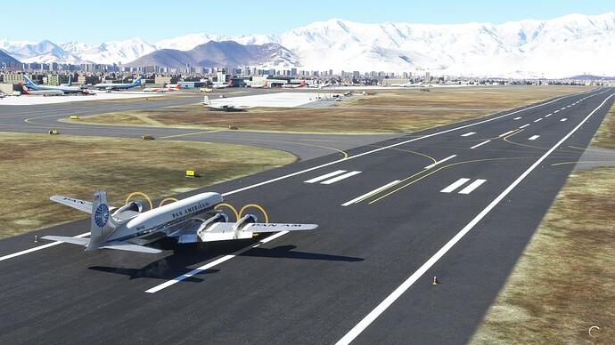
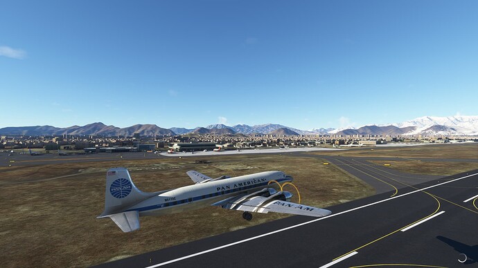
Performing out runup before we depart Kabul, Afghanistan.
And we are out of here.
Kabul, Afghanistan.
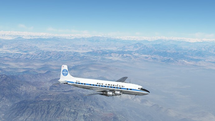
Skirting the Hindu Kush on the way back to Pakistan.
Jalalabad, Afghanistan off to the left.
Afghan farmland.
About to cross back into Pakistan.
Tirich Mir, the highest mountain in the Hindu Kush and the highest mountain in the world outside of the Himalaya-Karakoram range is in the center background.
Peshawar, Pakistan beneath the haze in the background.
Colorful Pakistani landscape as we descend towards Islamabad.
Views of Islamabad on our way in. We were high from crossing the Hindu Kush and had to circle to lose some altitude.
Inbound on the ILS Z RWY 28R OPIS.
Arriving Islamabad.
Down at Islamabad International Airport (OPIS), Islamabad, Pakistan.
Some morning haze at Islamabad International.
Adios Pakistan.
Over Islamabad International Airport.
Islamabad and Rawalpindi, Pakistan.
The east end of Islamabad. Climbing like mad to get over the mountains.
On the way up to FL210.
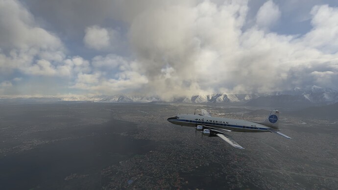
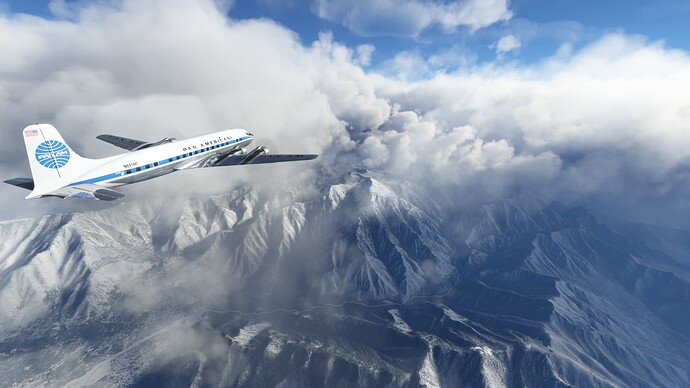
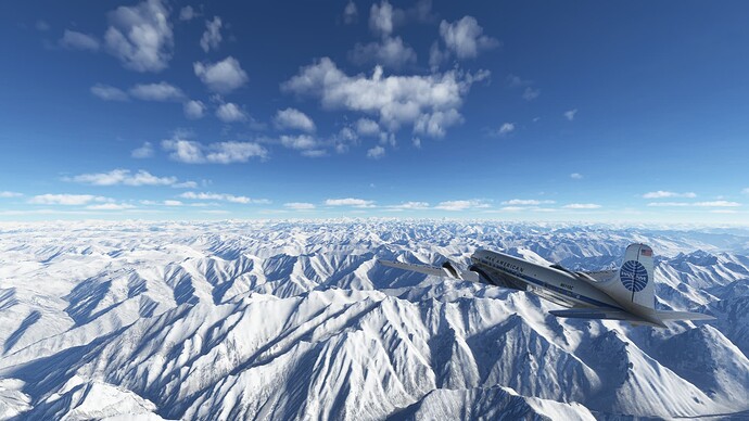
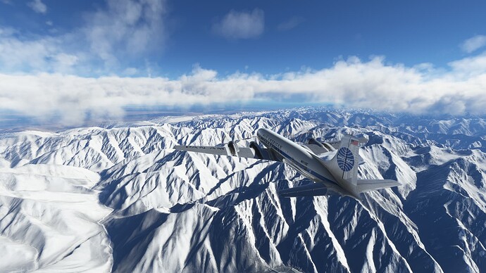
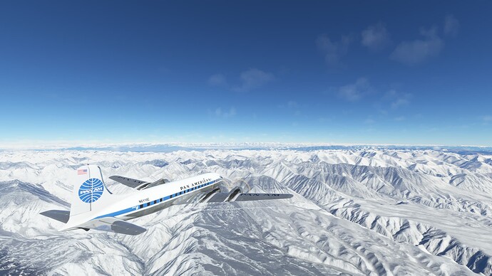
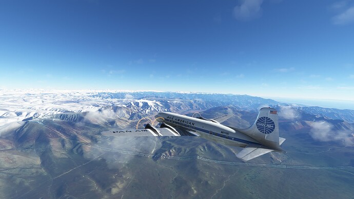
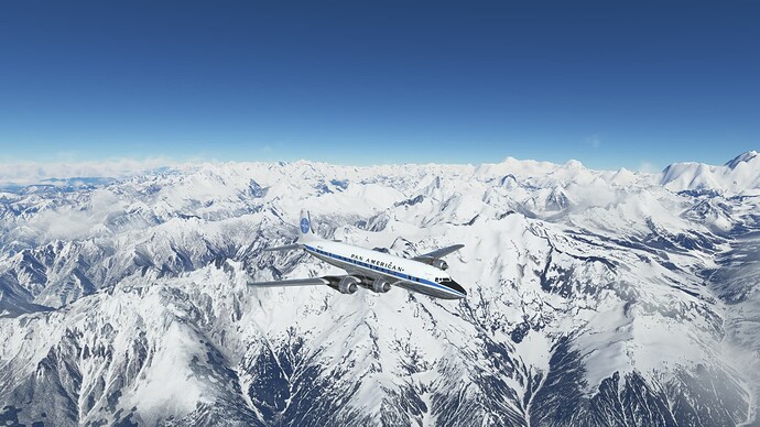
Over some minor peaks of the Himalaya Mountain Range.
Heading for Srinagar, which is down in the deep valley at 5,437’. The relief is amazing!
Now we’ve got to get down!
Srinagar ahead. We will be circling to descend!
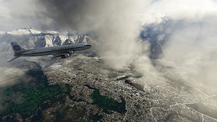
Views of Srinagar as we do our circling descent.
At least we know where the airport is!
Only a few thousand feet left to go!

Arriving in Srinagar, India.
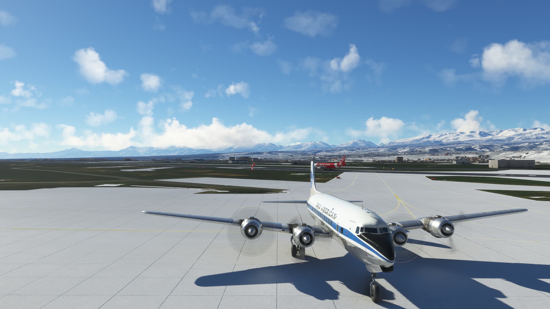
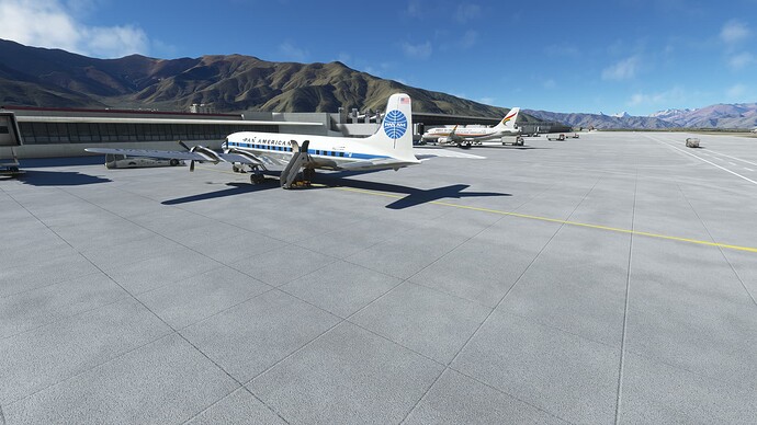
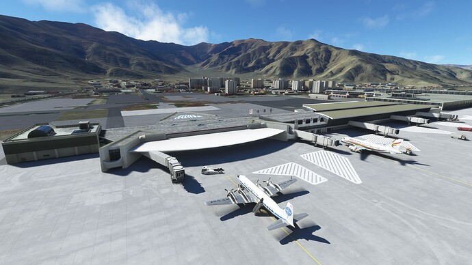
The airport isn’t totally empty; Air Asia getting ready to go.

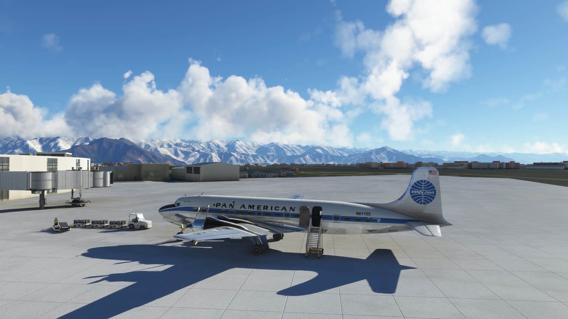
Parked at Srinagar Airport, Srinagar, India.
1 Like
Departing Srinagar, India.
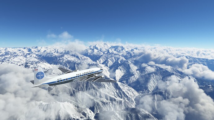
Starting the climb above Srinagar up to FL250 so we can clear the Karakoram Range.
Once more into the breach, dear friends.
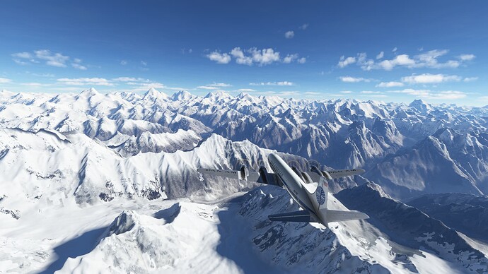
The 8,000 meter peaks of the Karakoram in the distance.
The Gasherbrums, Broad Peak and K2 ahead.
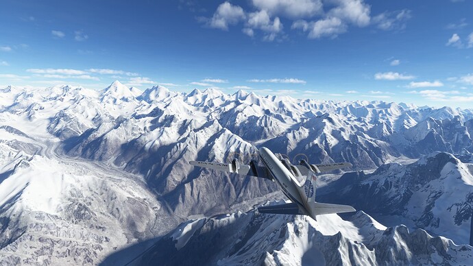
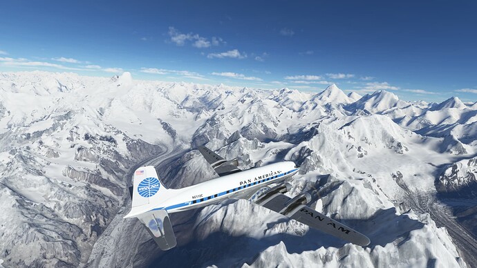
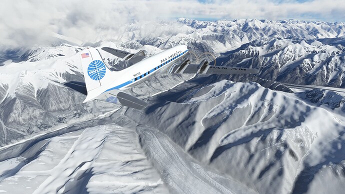
Massive glaciers.
K2
Broad Peak, Gasherbrum I and Gasherbrum II.
Broad Peak.
K2 and the Abruzzi Ridge.
Various views of K2 as we circle.
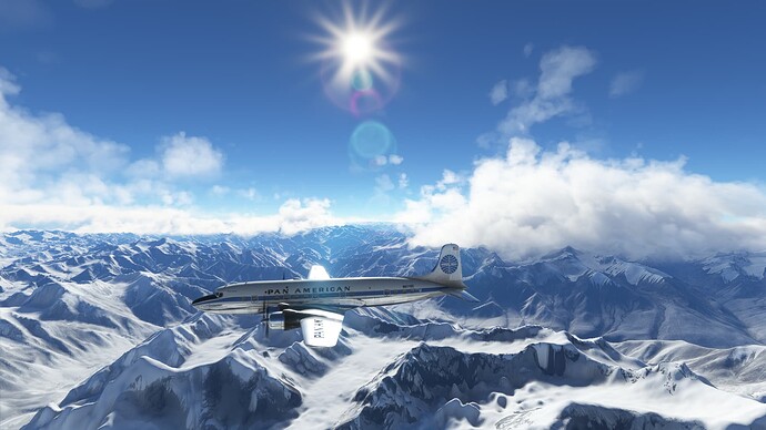
Mountains don’t get any bigger than this!
Farewell to K2.
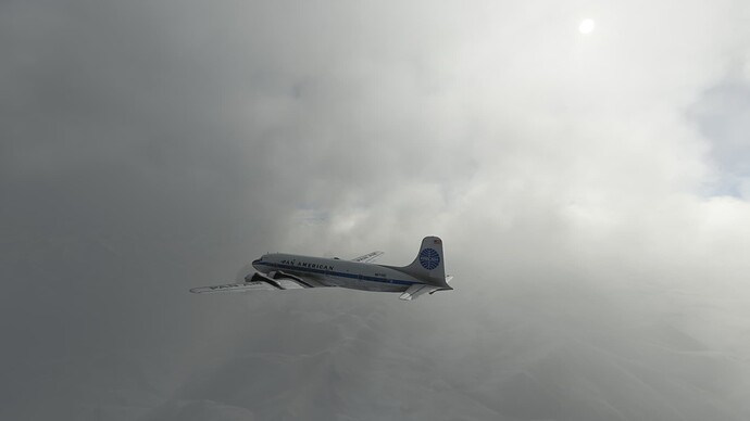
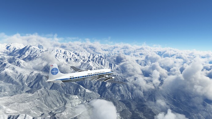
Picking up some weather.
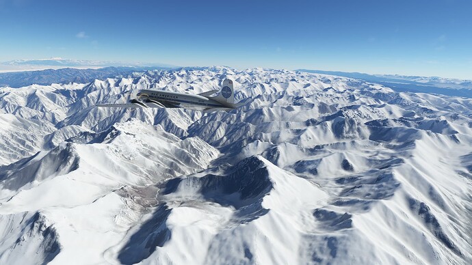
I wonder what those mountain goats are doing way up here? Fortunately, the remainder of the Karakoram peaks are below FL250 from here on.
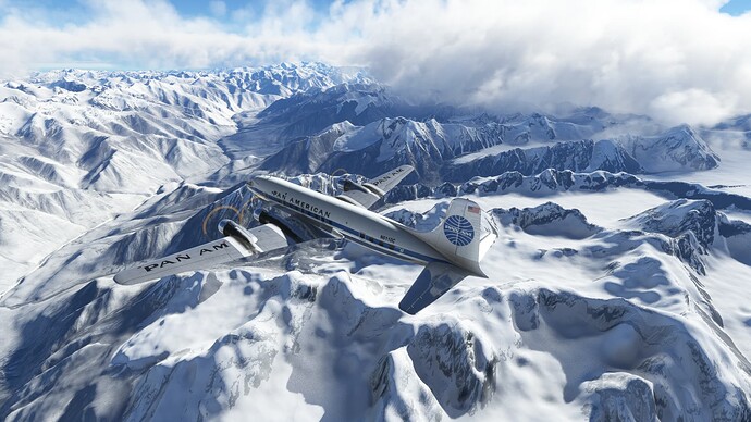
Which isn’t to say that they are much lower!
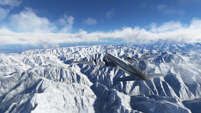
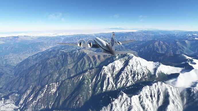
Looks like we are nearly across.
Flying over China now, looking ahead into more habitable zones as we are about to leave the mountains behind.
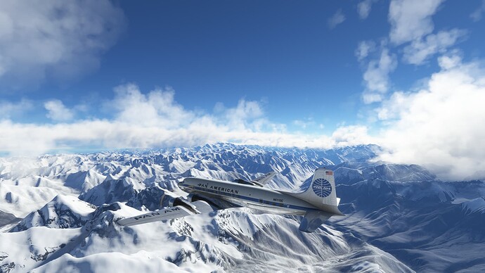
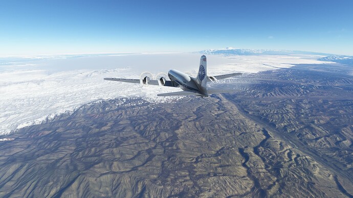
Final look back at the Karakoram range.
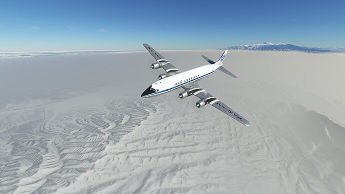
Over the high plains of western China.
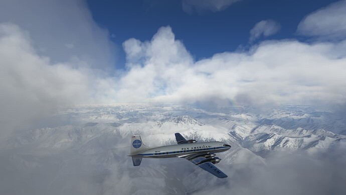
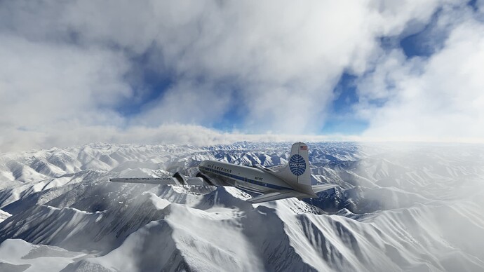
Between layers at FL250.
Interesting geology.
The Khotan River, looking muddy.
Looks a bit more civilized to the northeast.
Terrain seems to be getting a bit less monotonous.
We are finally out of the plains.
It seems that we have some more mountains to contend with.
Ha’erbake, China.
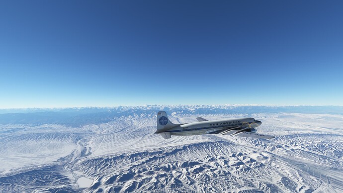
Back to the mountains. This time we are approaching the Tien Shan range.
The Tien Shan range.
We are 78 nm out, but there seems to be a very large wall of the Tien Shan mountains between us and the airport. We’ve slipped down to FL210, but I think we are going to have to stay up here for awhile.
We are finally able to start our descent.
Looks like the reports of freezing fog were accurate.
Circling to dump some altitude.
On the ILS Z RWY 07 approach.
Wheels down.
Safely down at Urumqi, Diwopu International Airport (ZWWW), Urumqi, Uygur Autonomous Region. Not much to see on the approach due to the fog. Hopefully, we will have better views tomorrow.
4 Likes
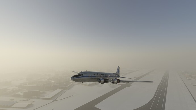
Departing ZWWW.
Urumqi, through the ice fog.
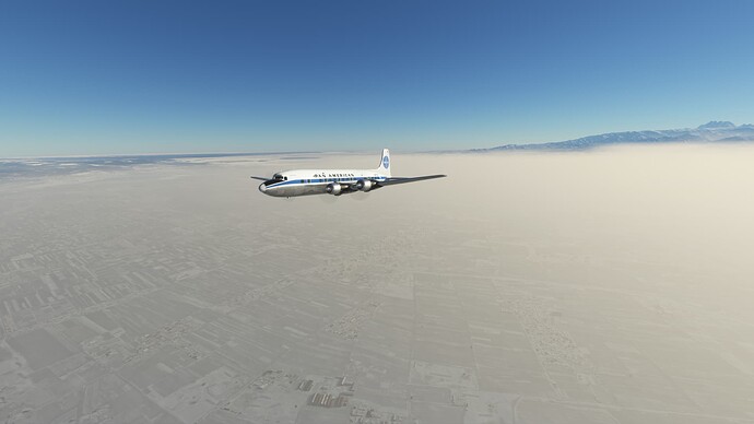
More mountains.
Lake Aibi.
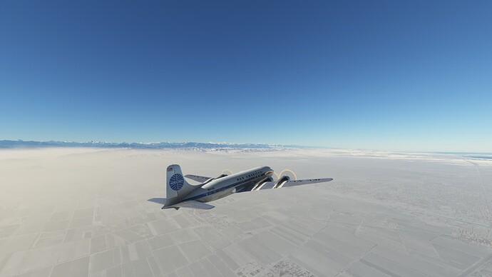
Over the Tien Shan mountains as we enter Kazakhstan.
Lake Balkhash.
The steppes of Kazakhstan.
Man, Lake Balkhash is massive!
Passing by some wetlands as we continue to traverse the lake.
Civilization?
Looks like the city of Balkhash.
Airport in sight.
Down and parked safely after losing our number one engine on approach at Balkhash Airport (UAAH), Balkhash Kazakhstan. I can’t imagine many worse places to need to do major repairs, so hopefully the problem won’t be significant. In any case, we have a bunch of parts stored in back, an excellent flight mechanic, and some tents and heaters to keep him warm while he works.
About to depart Balkhash, Kazakhstan.
On our way!
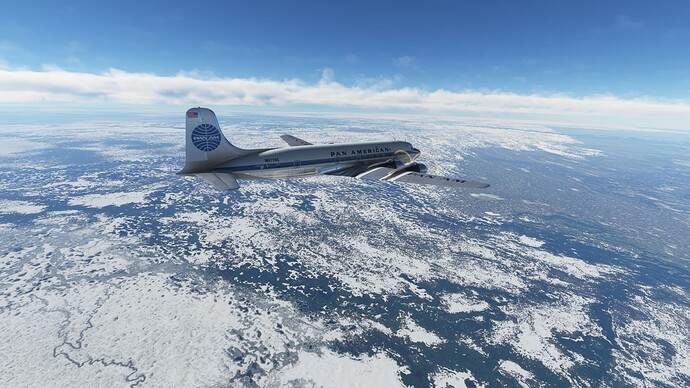
Climbing high over the frozen steppes.
Signs of civilization below…
The Illi River–looking pretty fridgid!
A lake that is part of the Illi River and the town of Kapchagay, Khazakhstan.
Over the mountains as we cross from Kyrgyzstan back in to China.
Some fairly large geographic upheavals as we leave the mountains.
Chinese countryside or the surface of the moon?
The Khotan River and a hint of the Himalayas in the distance.
Himalayas coming into view.
Looks like some farmable land just before we hit the Himalayas.
And some more interesting geography.
Entering the Chinese Himalayas as we head for Nepal.
Pu’er Lake on the right.
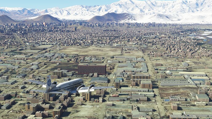
Meima Lake. Loving the scenery in this part of China.
Darebu Lake.
Cangmu Lake.
The mountains are starting to reach for us.
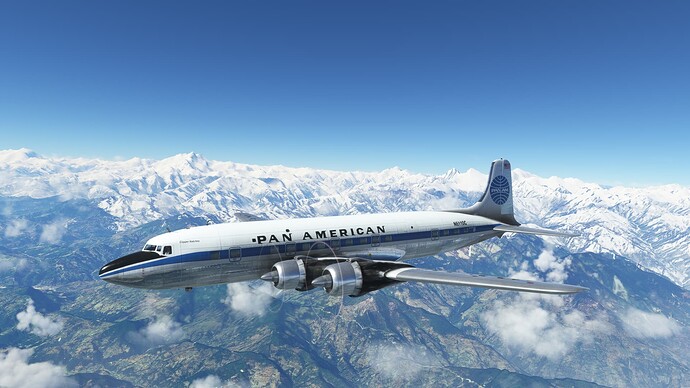
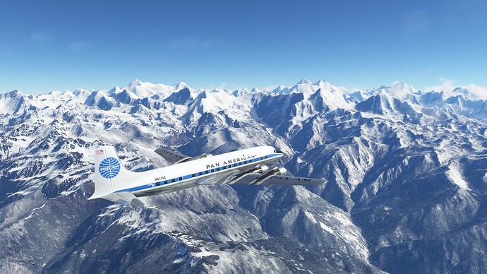
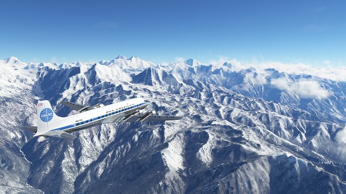
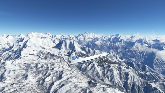
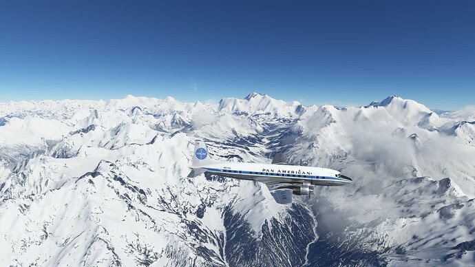
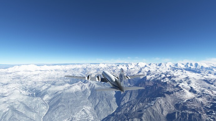
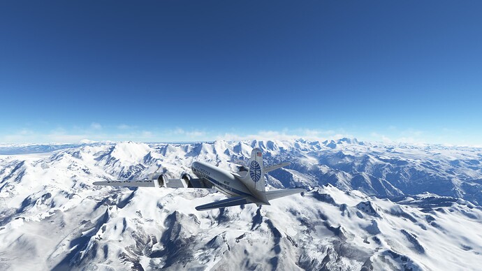
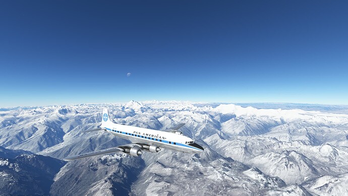
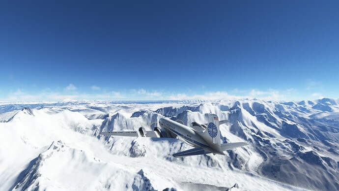
The high Himalaya, the roof of the world, in the distance.
An impressive looking peak, but comparatively low relative to what is coming.
Closing in on Nepal and a slew of 8,000 meter peaks.
Approaching some mountains that we can’t climb over–even at FL250.
In the hall of the Mountain King. Views of Annapurna, Dhaulagiri, and Manaslu.
Groveling for the airport over Kathmandu on the RNP RWY 02 approach.
Touchdown Kathmandu.
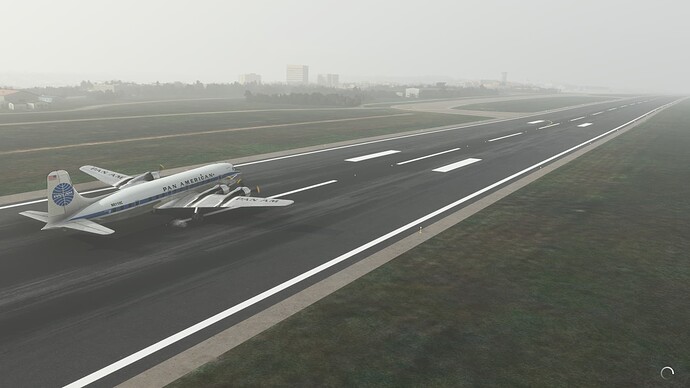
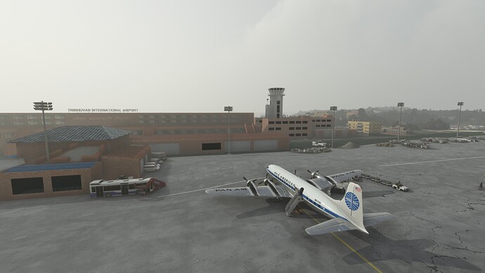
Parked at Tribhuvan International Airport (VNKT), Kathmandu, Nepal.
Some Tara Air Grand Caravans on the ramp.
1 Like
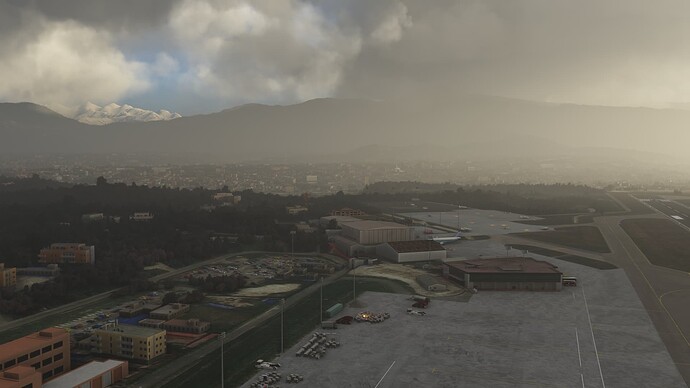
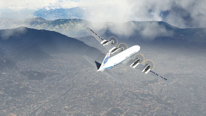
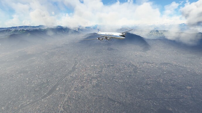
Morning views of Khatmandu.
Getting ready to go.
So long Kathmandu.
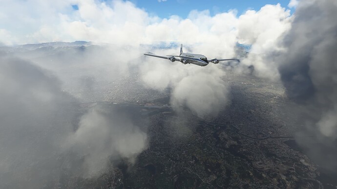
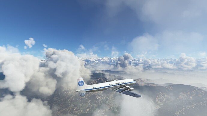
Climbing out over Kathmandu.
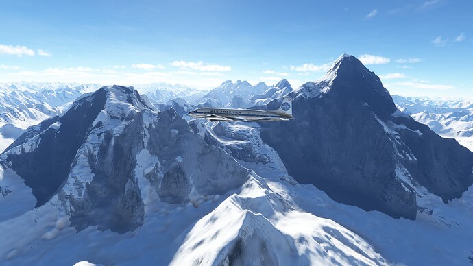
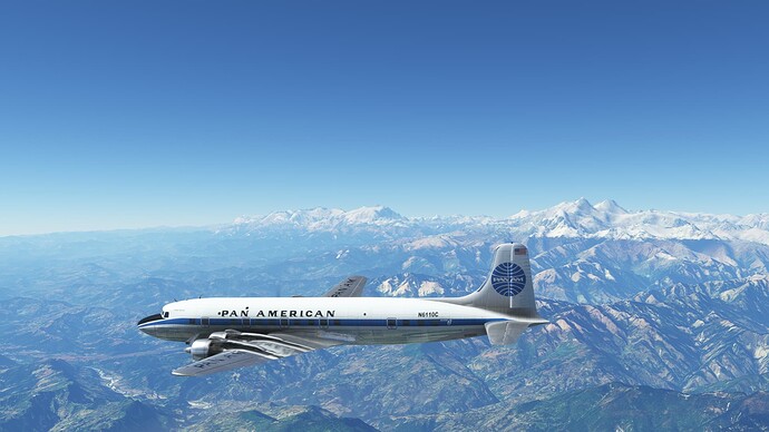
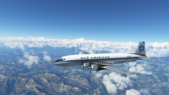
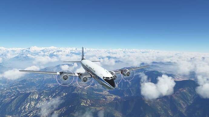
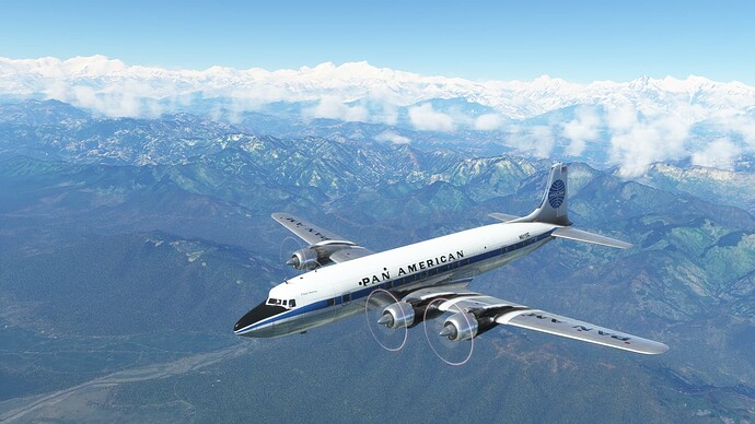
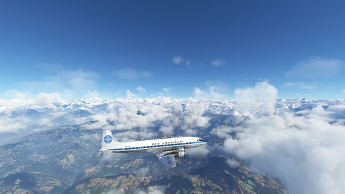
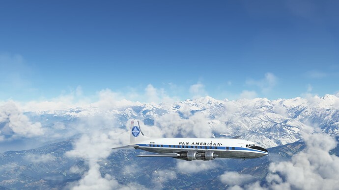
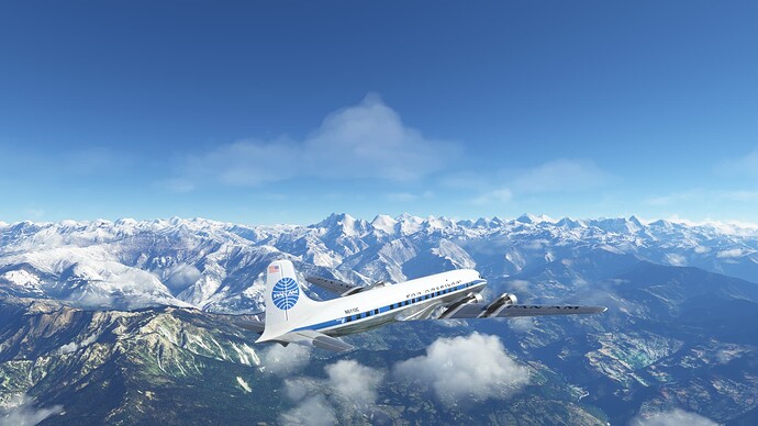
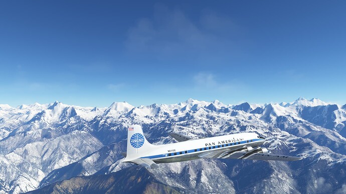
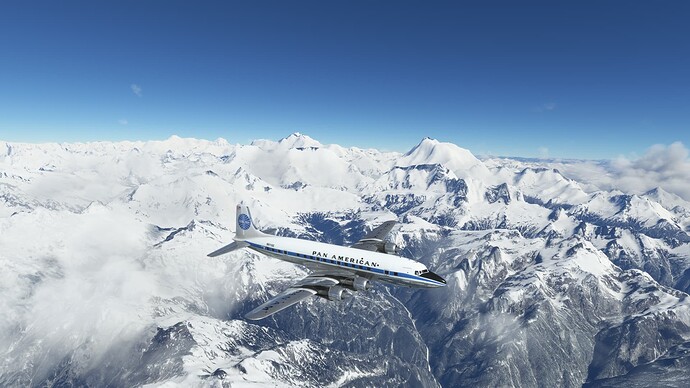
Some big mountains in view.
Mt. Everest just peeking out on the right, with Lhotse next to it.
Views of Cho Oyu, Mt. Everest (Sagarmatha/Chomolungma), Lhotse, Makalu, Ama Dablam and Kangchenjunga in the distance.
Himalayan majesty.
Getting banged around pretty good on the descent to the IAF.
What are those mountain goats doing way up here?
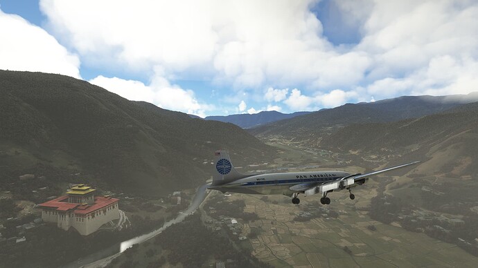
Working our way around on the approach.
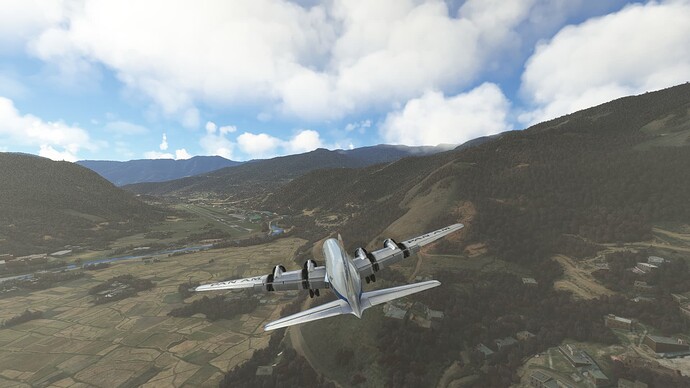
Down in the valley–this approach is super sketchy and it sets you up for a circle to land! Next time, I will calculate my own glideslope and make sure that I can just land straight in.
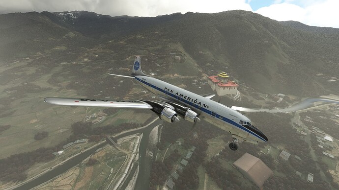
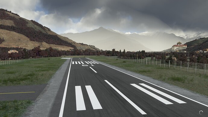
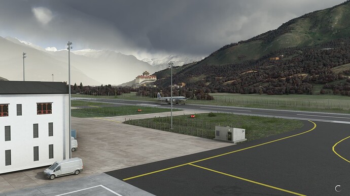
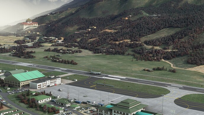
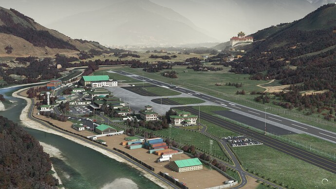
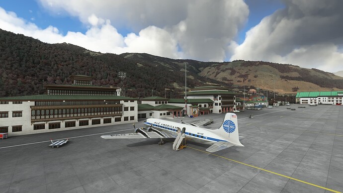
Touching down at Paro International Airport (VQPR), Paro, Bhutan.
Breathing a sigh of relief now that we are down and parked. Nothing about that approach is easy!
2 Likes
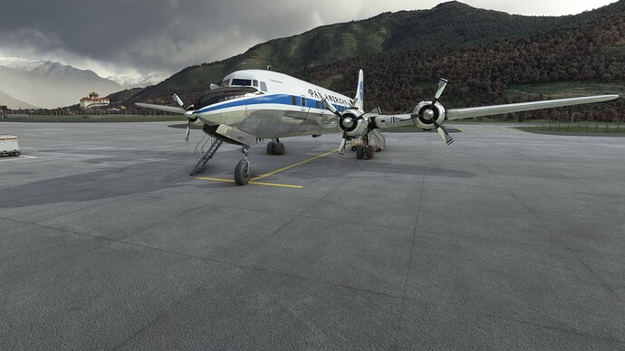
Waiting for the engines to warm up at Paro, Bhutan.
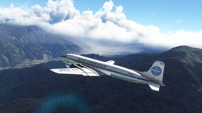
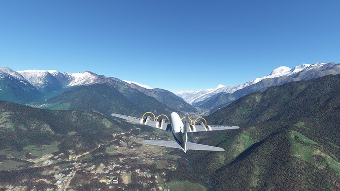
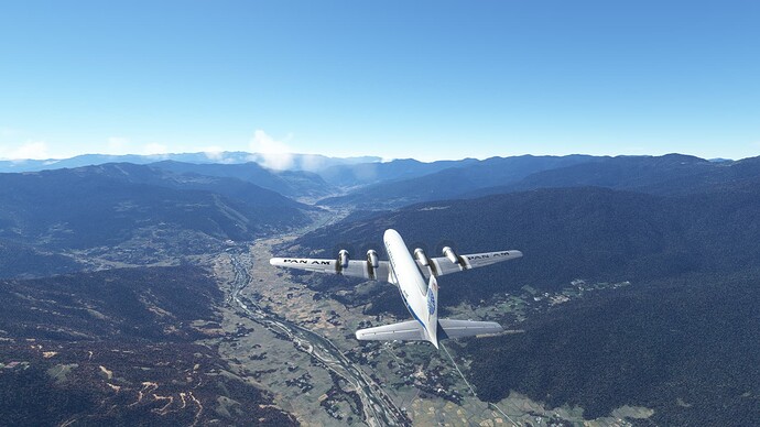
Departing Paro and climbing like mad!
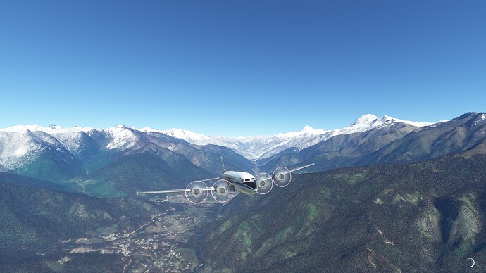
Running the valley to gain some altitude.
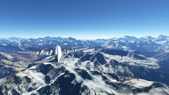
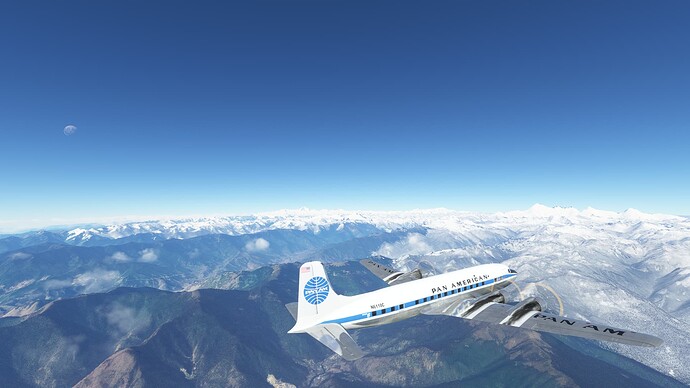
Heading back towards the big mountains with enough height to clear them!
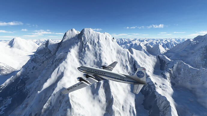
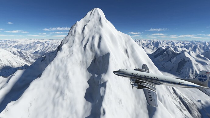
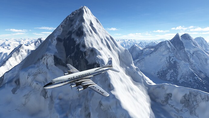
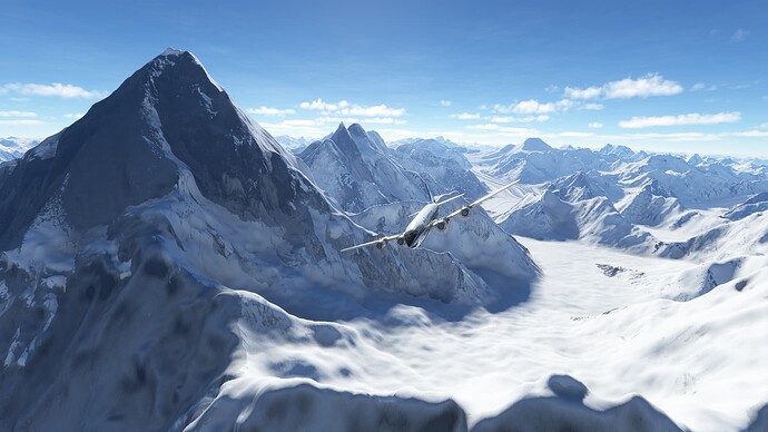
The Kangshung Face of Mt. Everest with Makalu in the background.
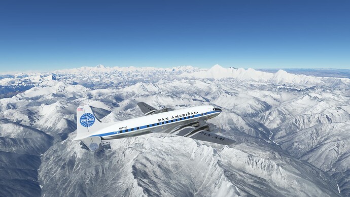
There is a big wall between us and Lhasa!
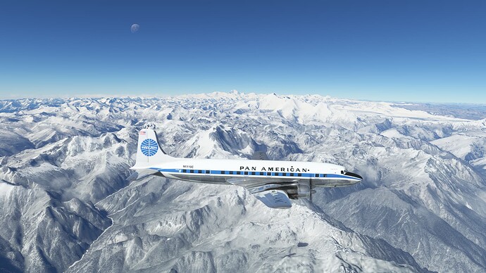
Looking back at Mt. Everest with Kangchenjunga in the distance.
l wouldn’t exactly call this a comfortable amount of clearance!
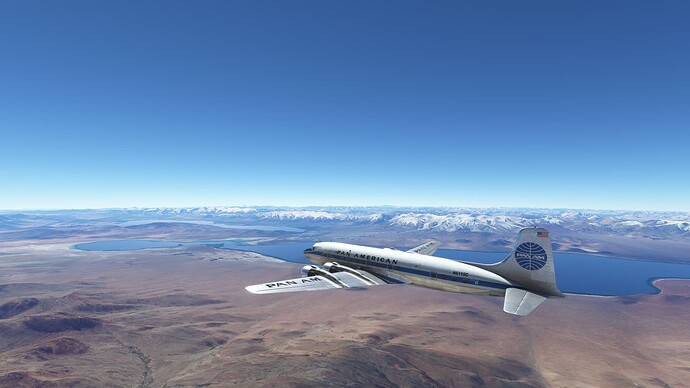
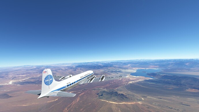
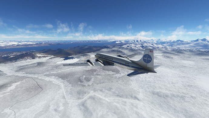
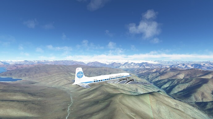
Lake Puma Yumco.
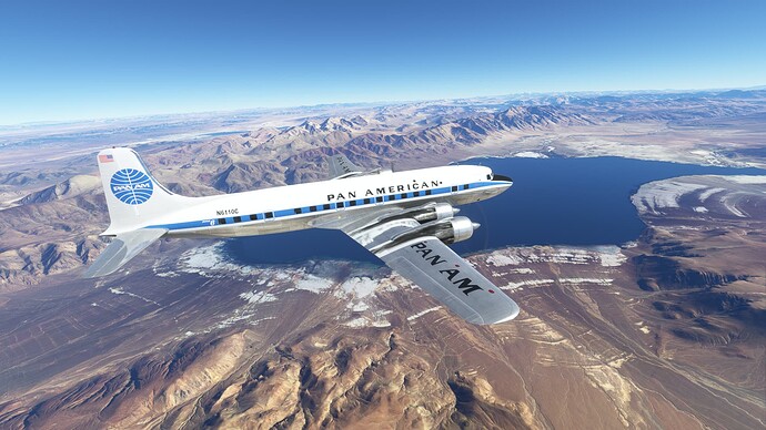
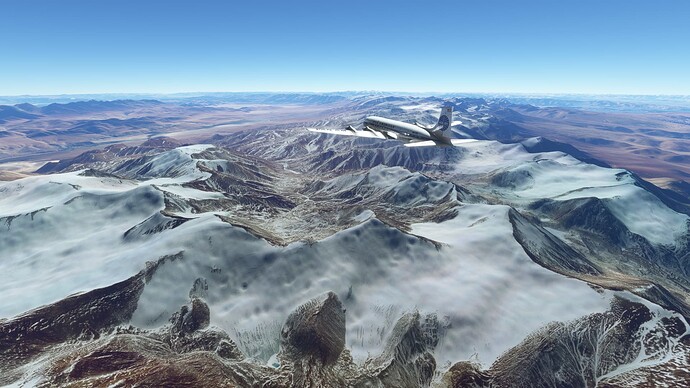
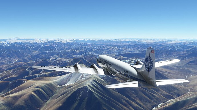
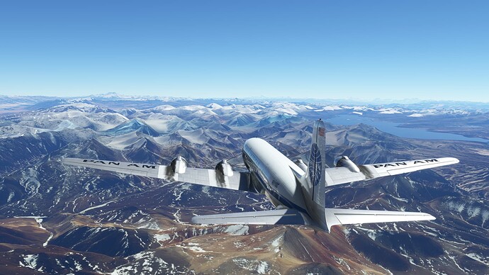
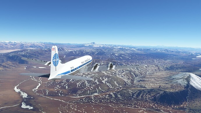
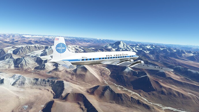
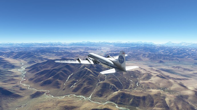
More lake country.
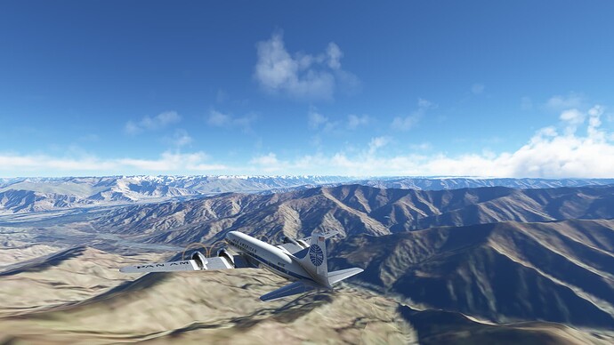
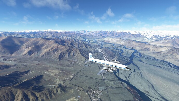
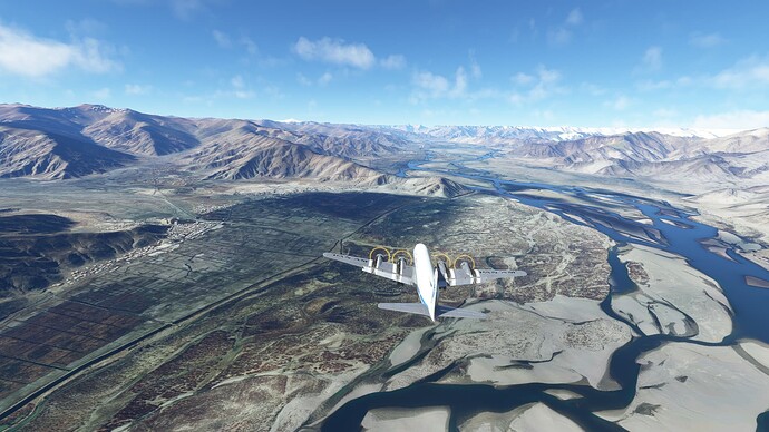
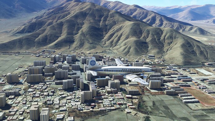
Some views of on the long ILS RWY 27R approach. None of these are actually of Lhasa, but we will overfly it on departure and check out the Potala Palace, where the Dalai Lama lives.
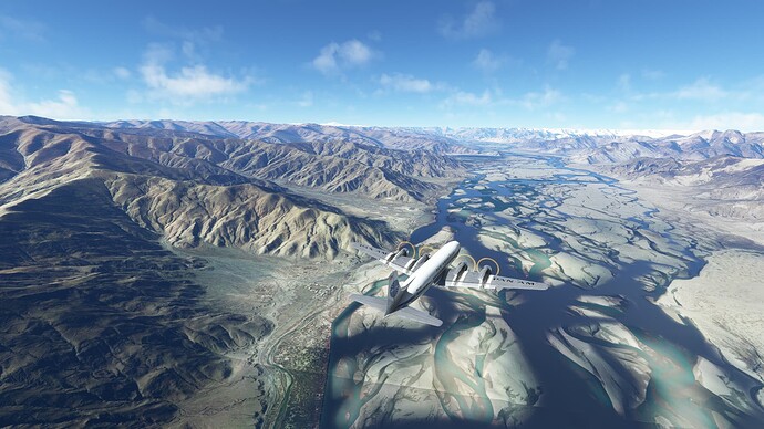
Welcome to Tibet!
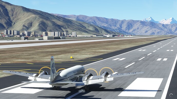
Parked at Gonggar Airport (ZULS), Lhasa, Tibet.
4 Likes
