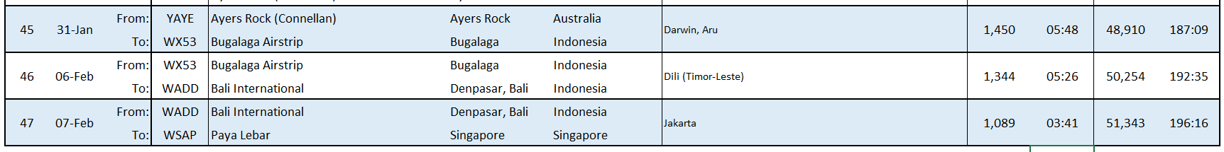
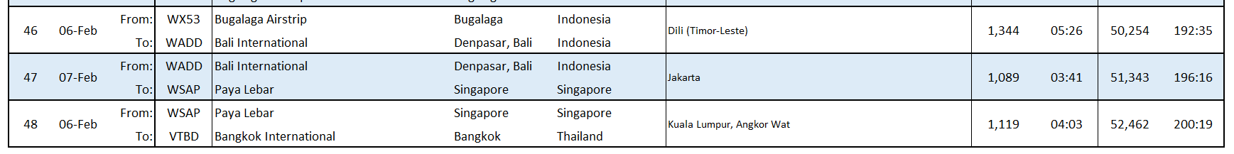
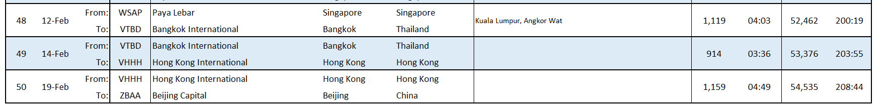
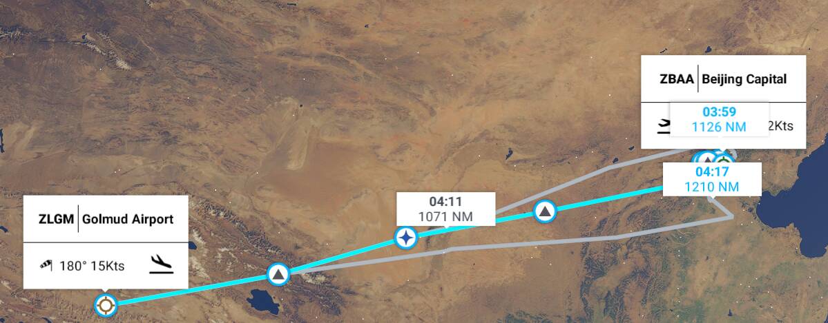
Leg 47 Denpasar, Bali, Indonesia (WADD Bali International) to Singapore (WSAP Paya Lebar)

This leg: 1,089Nm, 3:40 flying time
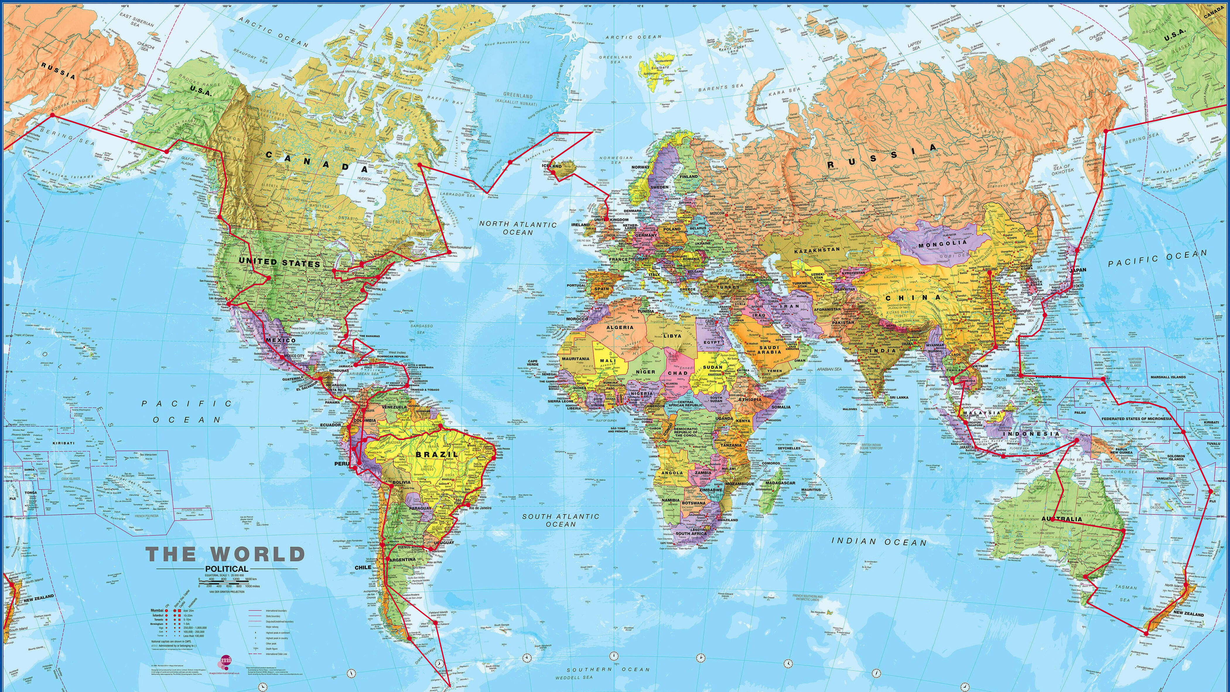
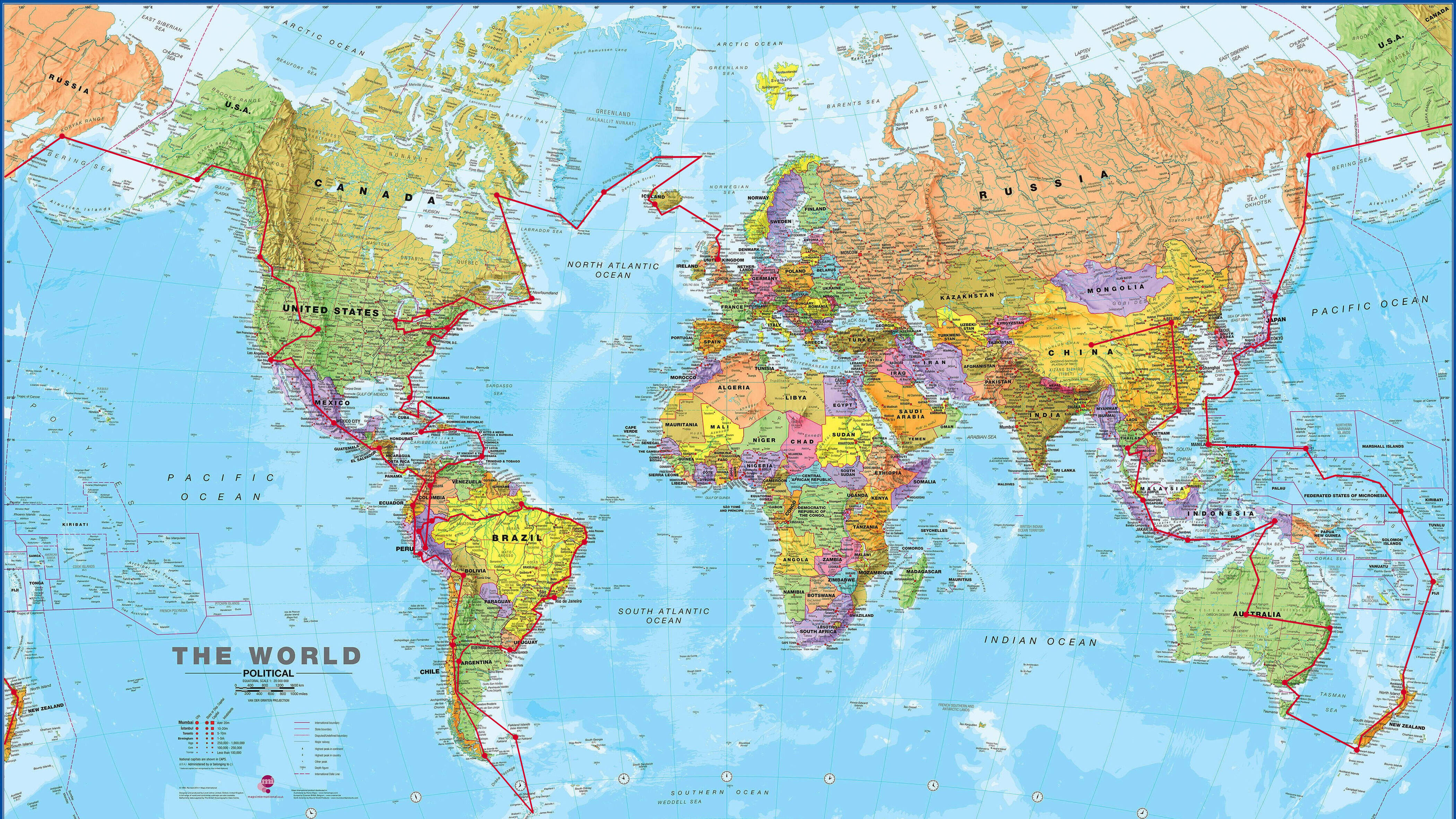
Total so far: 51,343Nm, 196:16 flying time
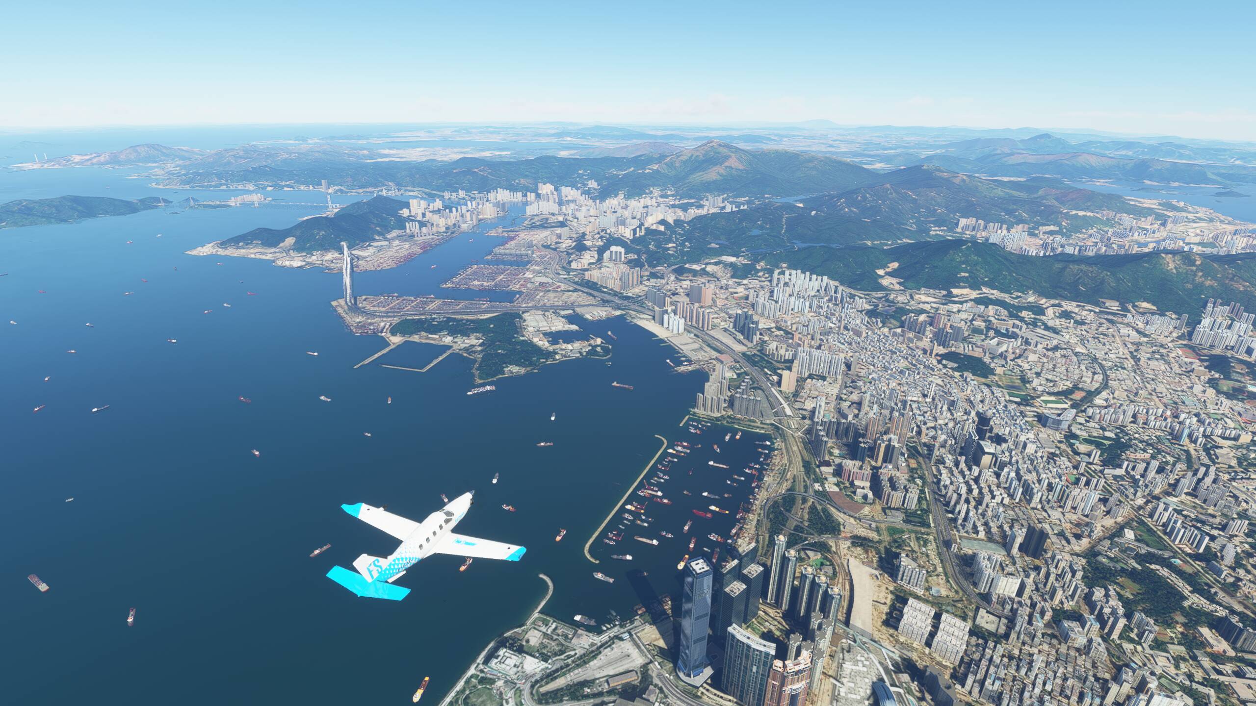
Off to Singapore today, with a fly over of Jakarta on the way. Looks like lots to see in Singapore, and so to make sure our route into the city gives us the best views, we are going to approach from the West and essentially fly directly over the city into Paya Lebar airport (and not Changi). To make it more interesting, we are going for a dusk/night landing. The flight time is 3:41, and according to Google, sunset in Singapore today is 19:21 local time. So we are going to leave Bali about 16:00 which should mean we are arriving a little after sunset. We shall see!
Snack-wise - after yesterday’s satay, we are going for another peanut based street food - Soimay. This is Indonesia’s version of dim sum. This dish contain steamed fish dumplings and comes with steamed potato, cabbage, egg and served with peanut sauce. Ideal!

Let’s get going then - and we are not having good luck with the weather at all in Indonesia. Bit wet here, although not too many clouds about just yet. And enough rain and sun for a rainbow to get us started

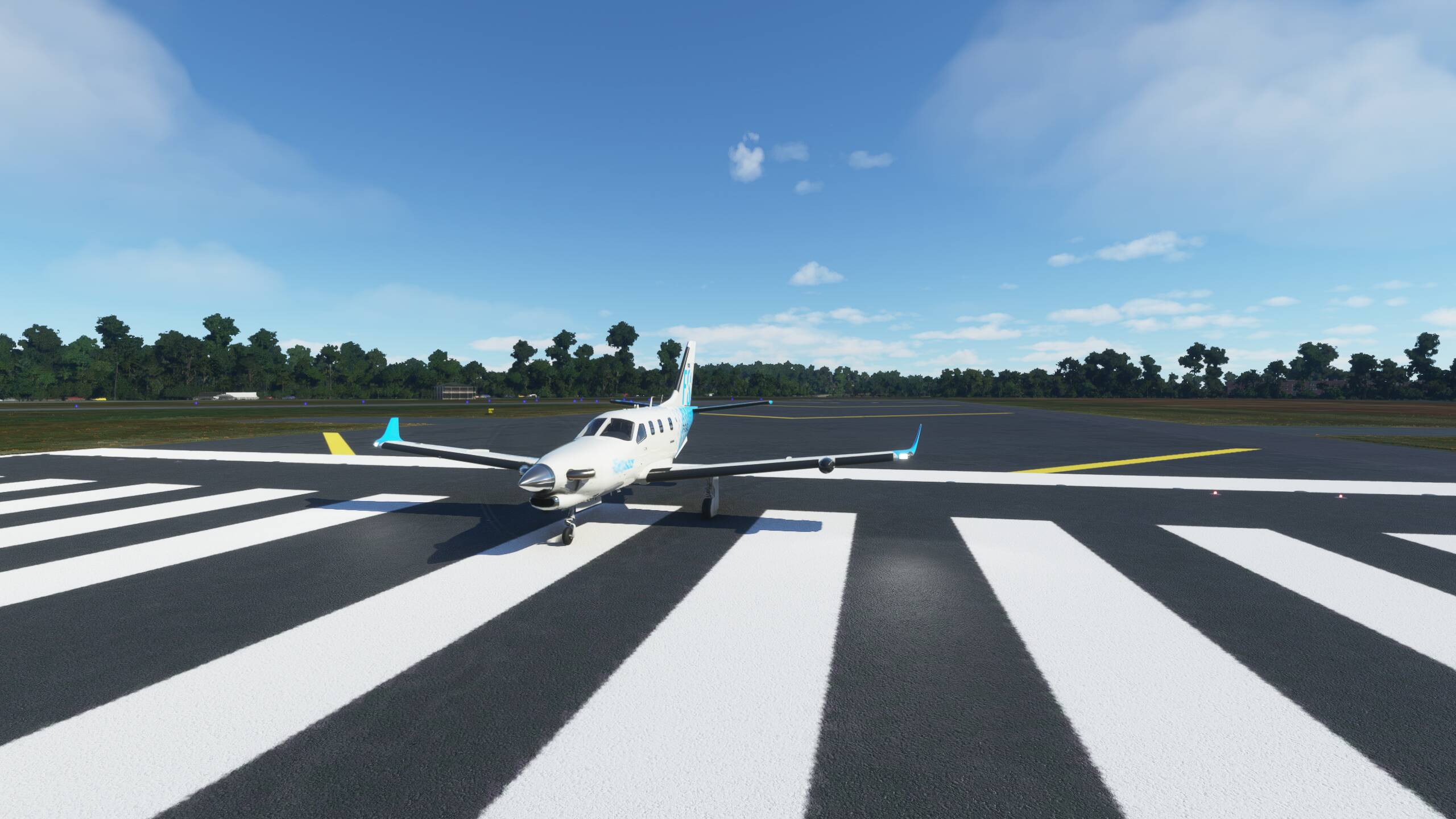
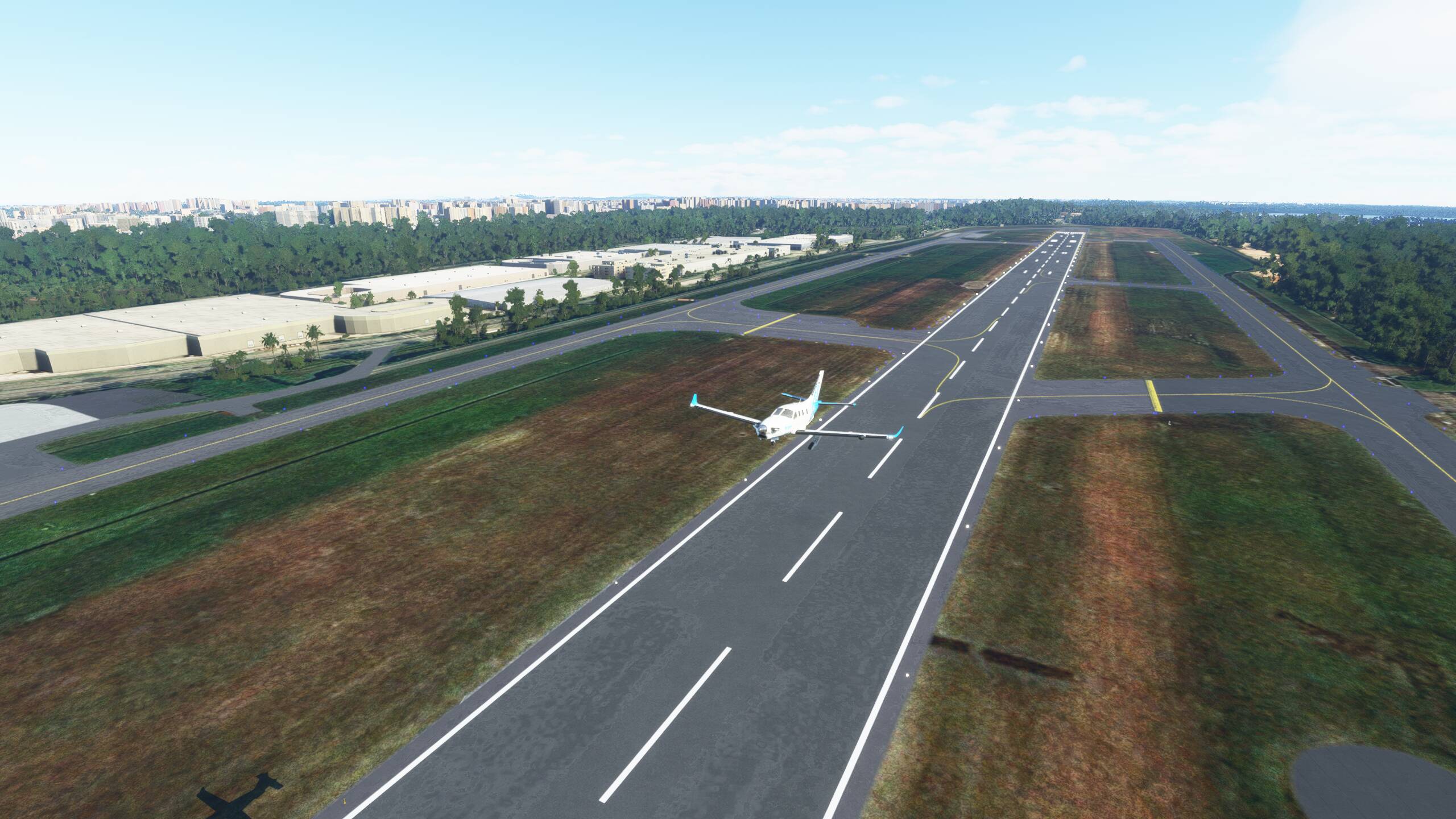
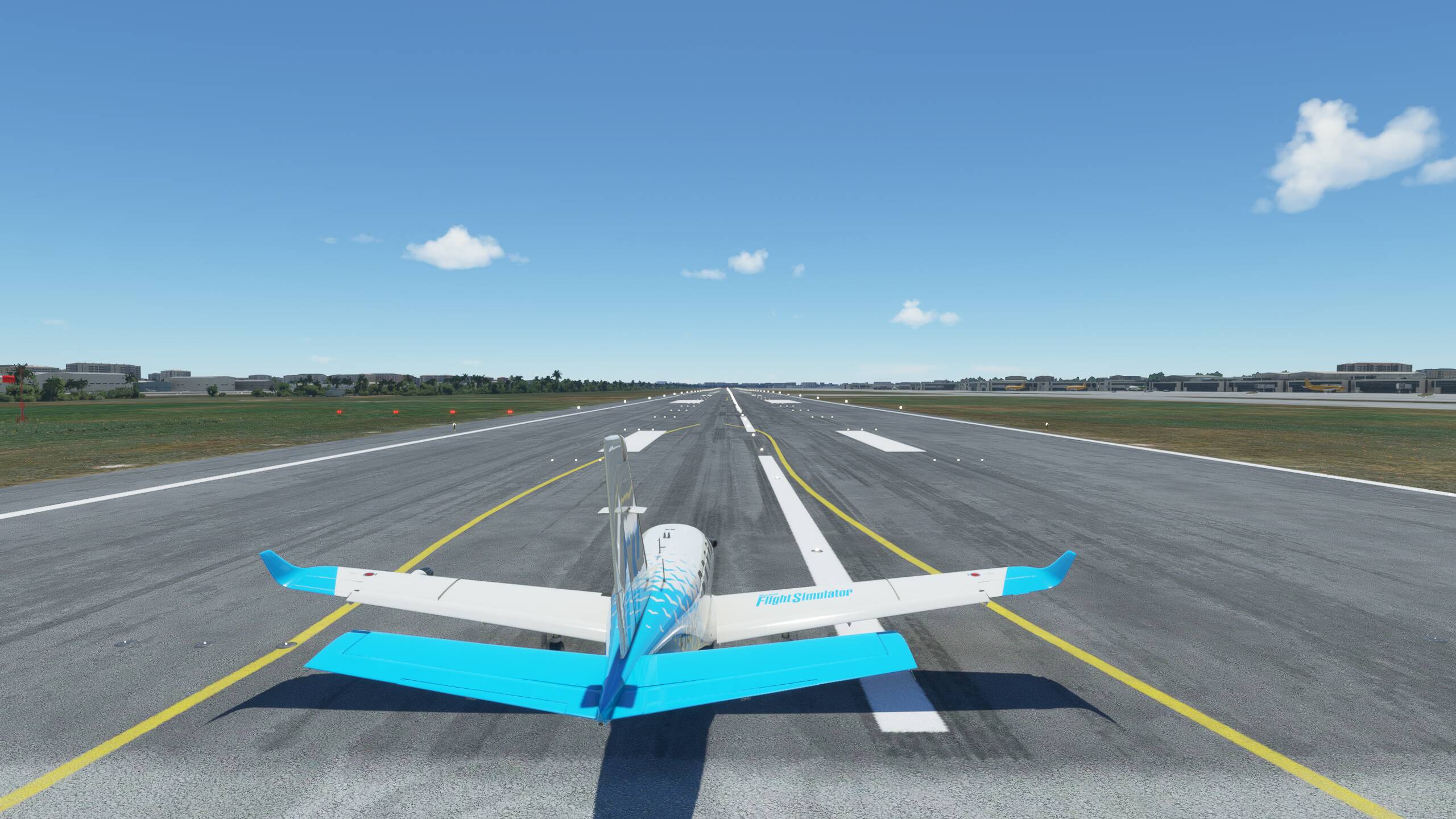
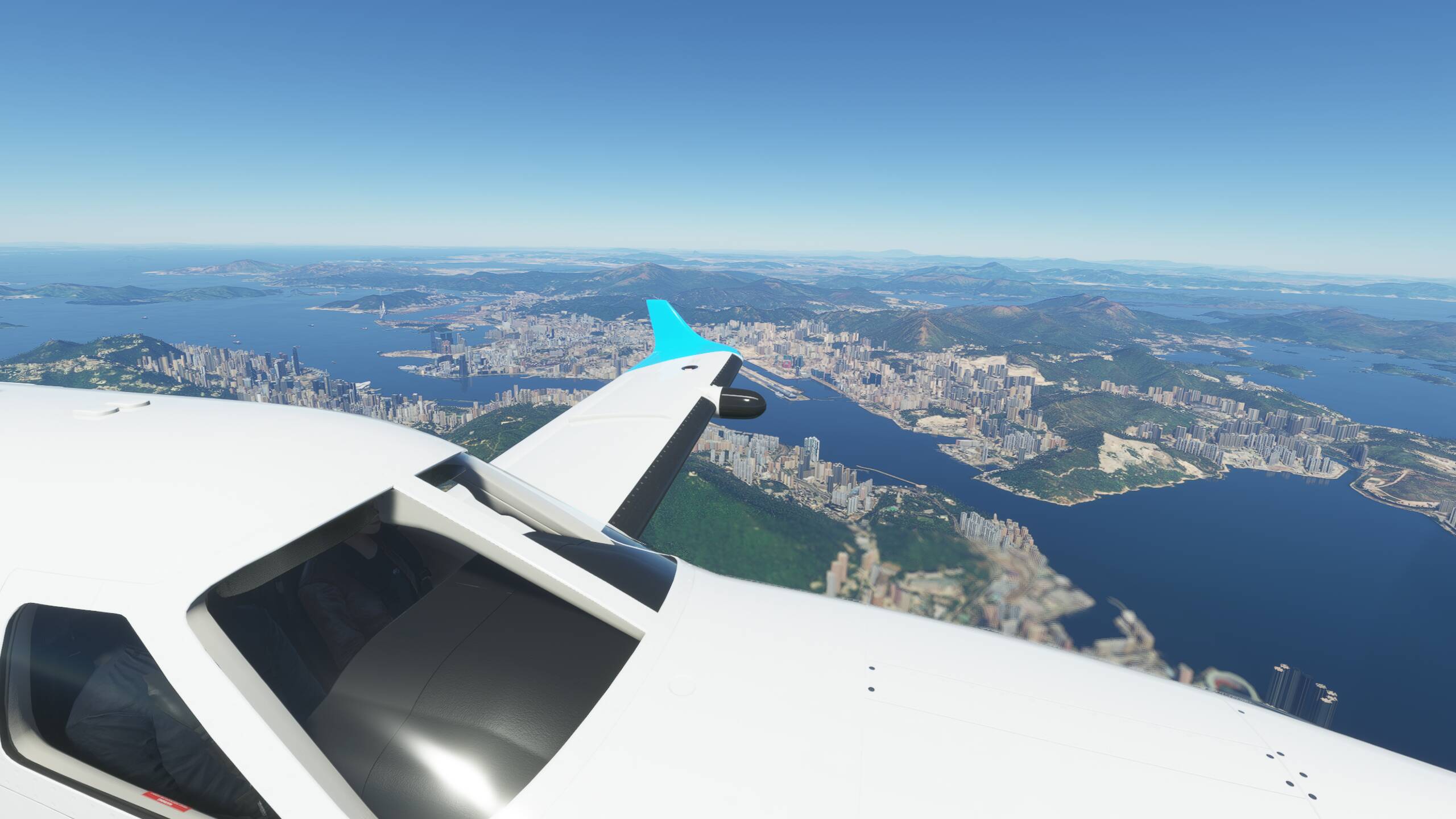
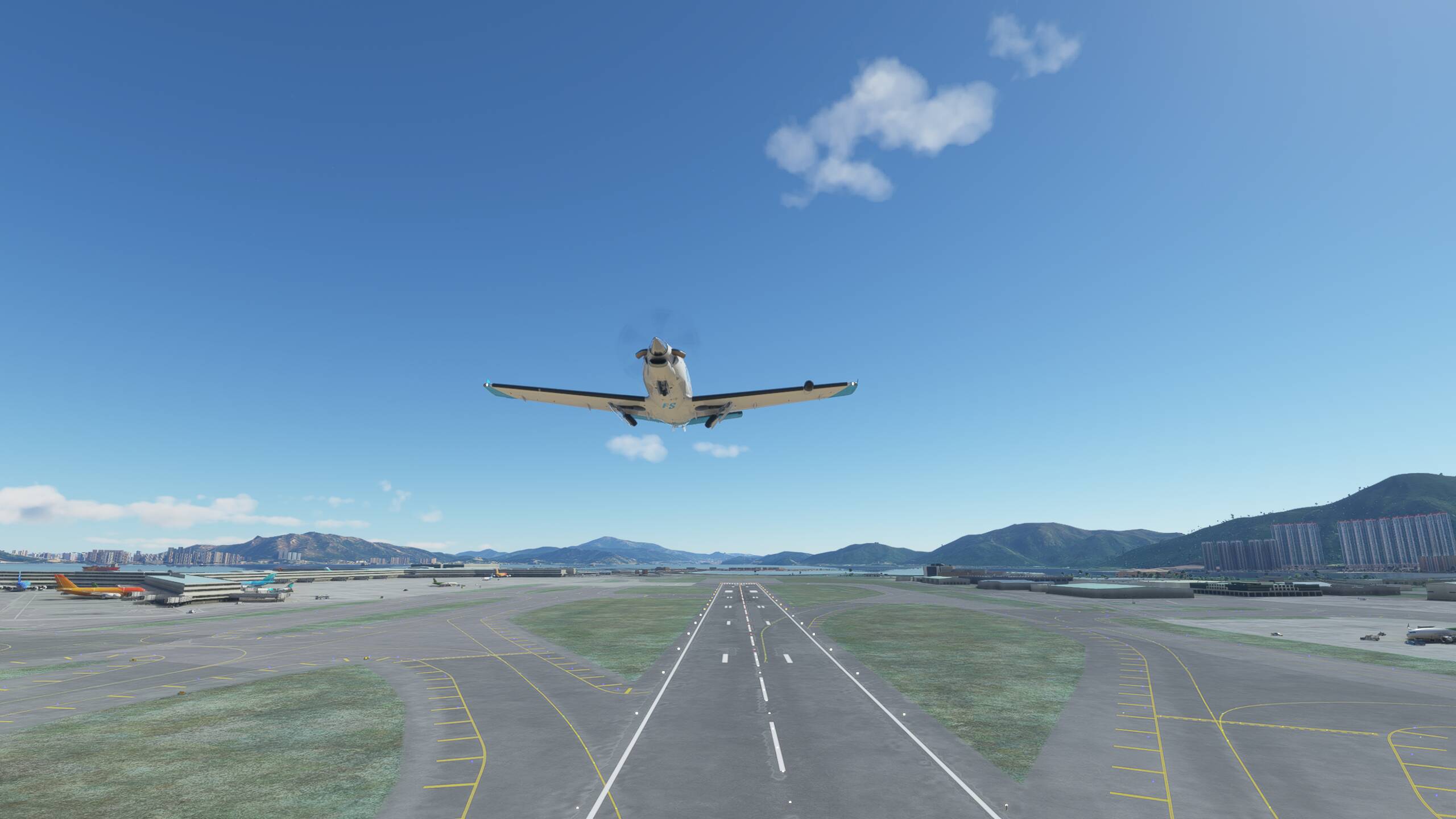
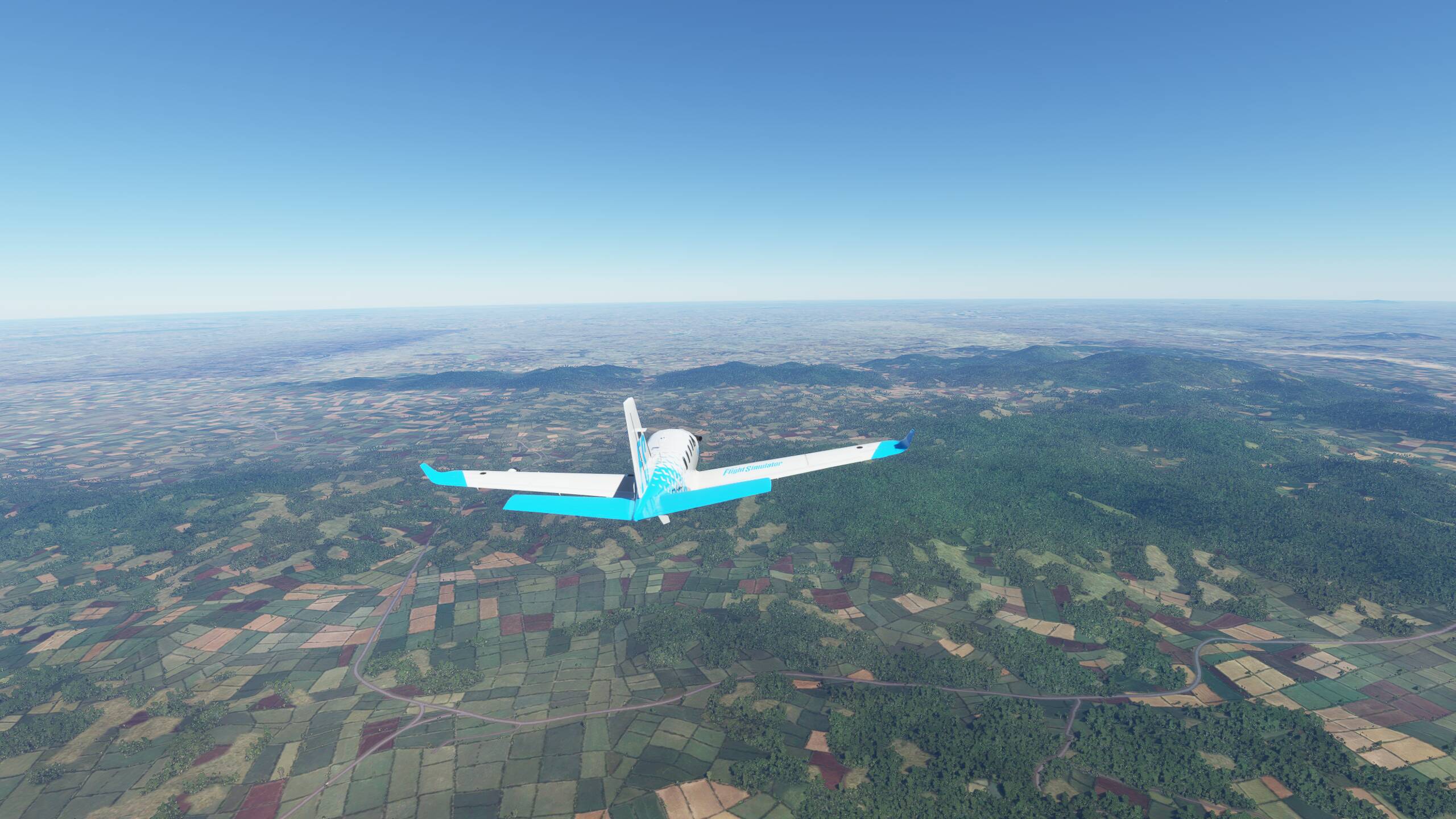
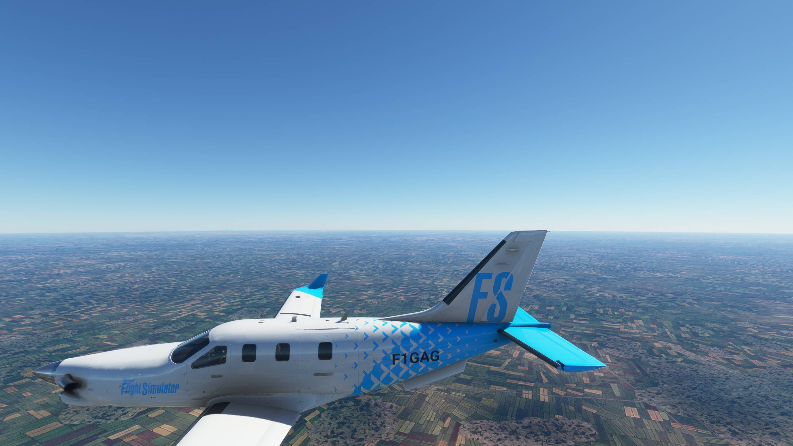
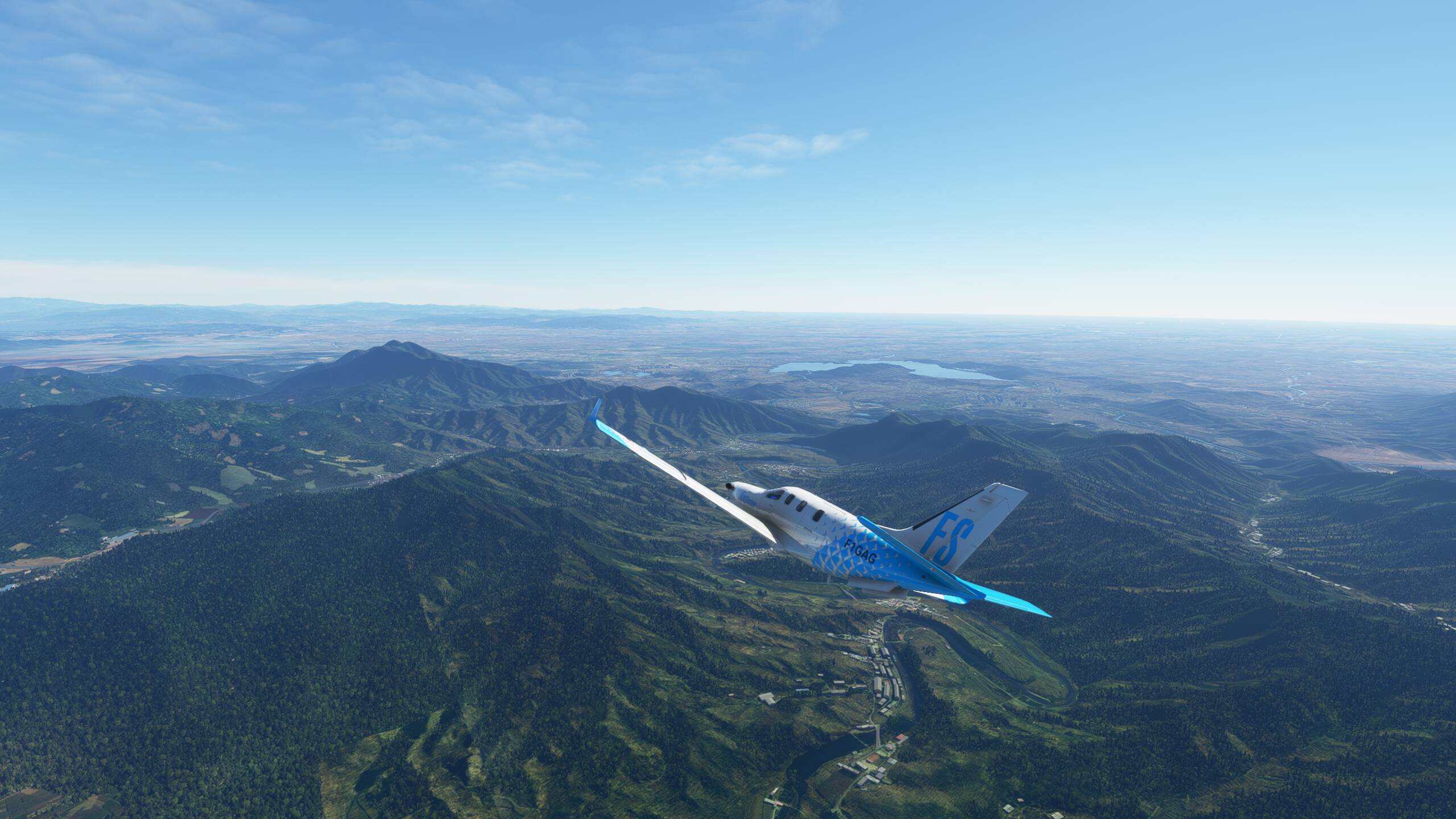
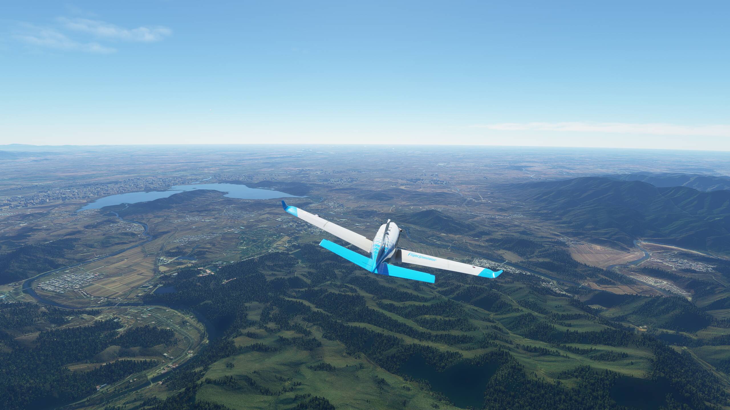
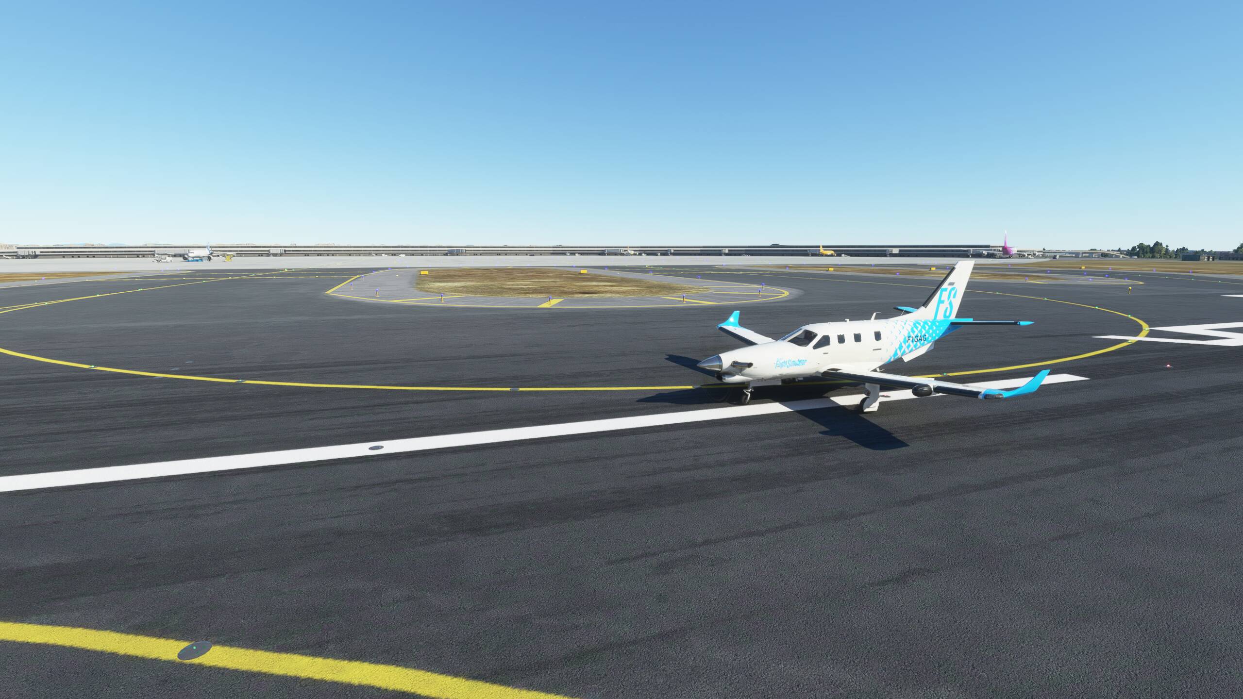
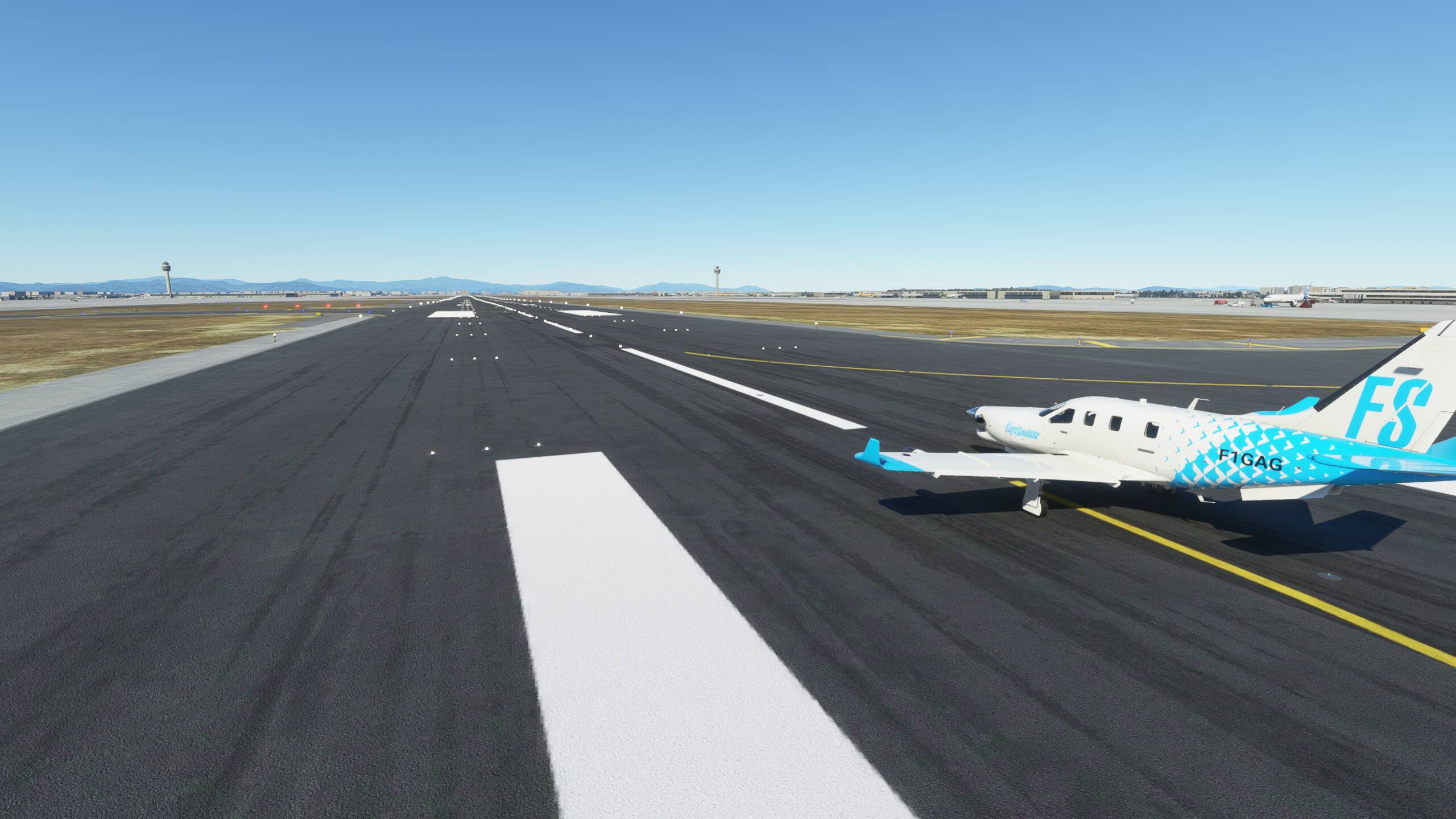
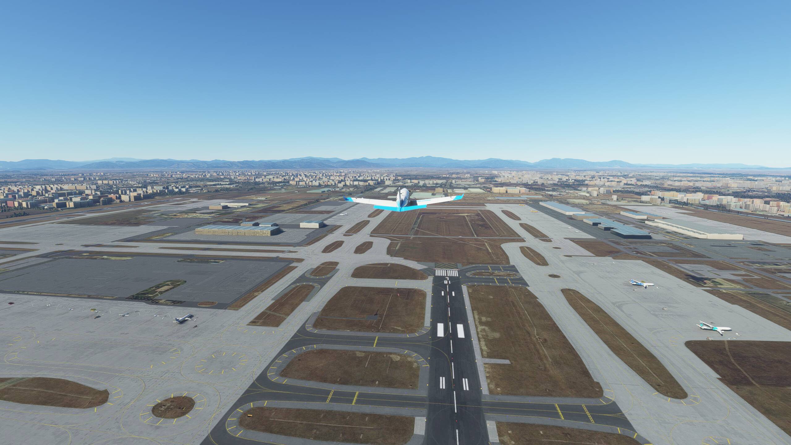
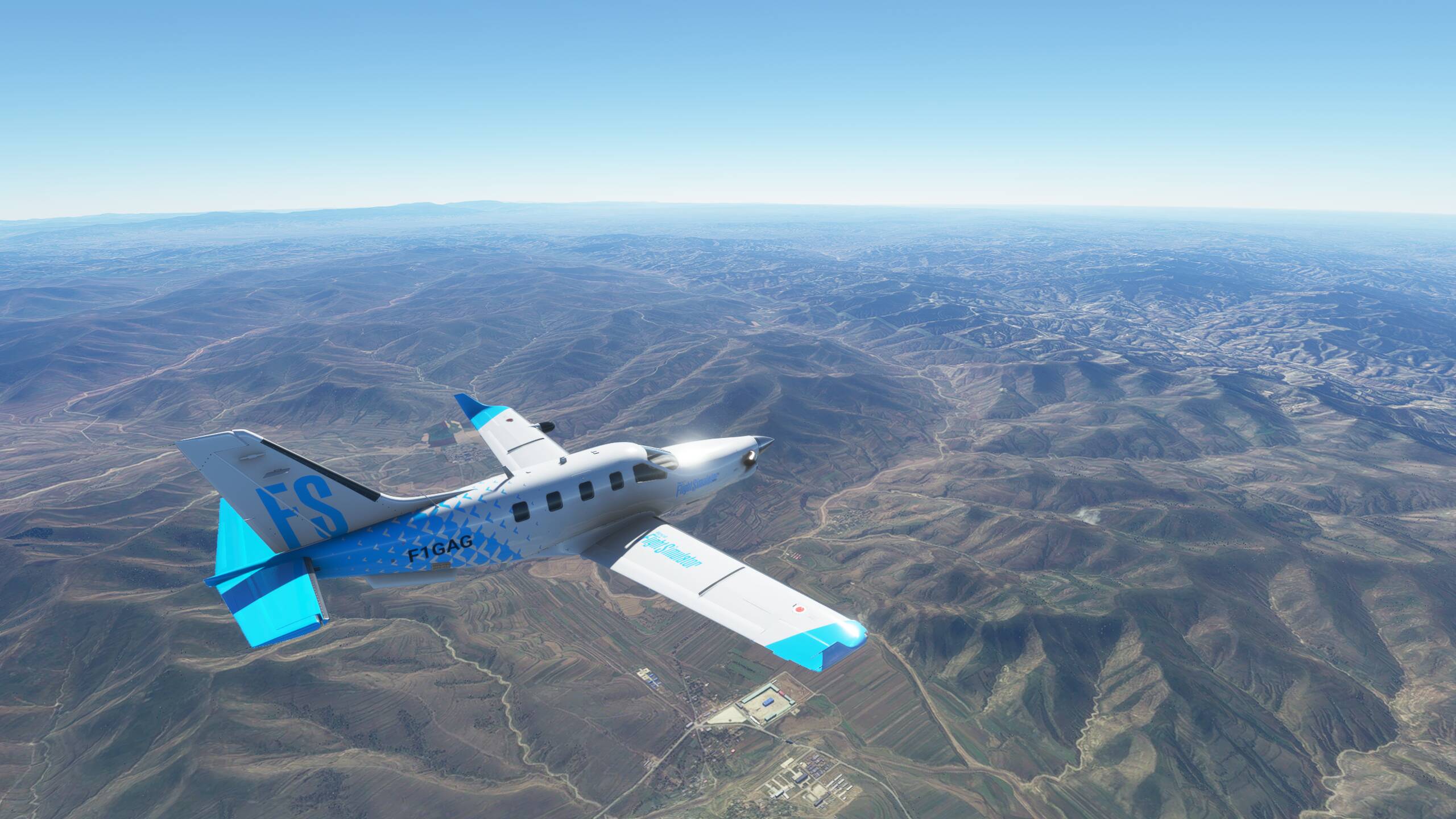
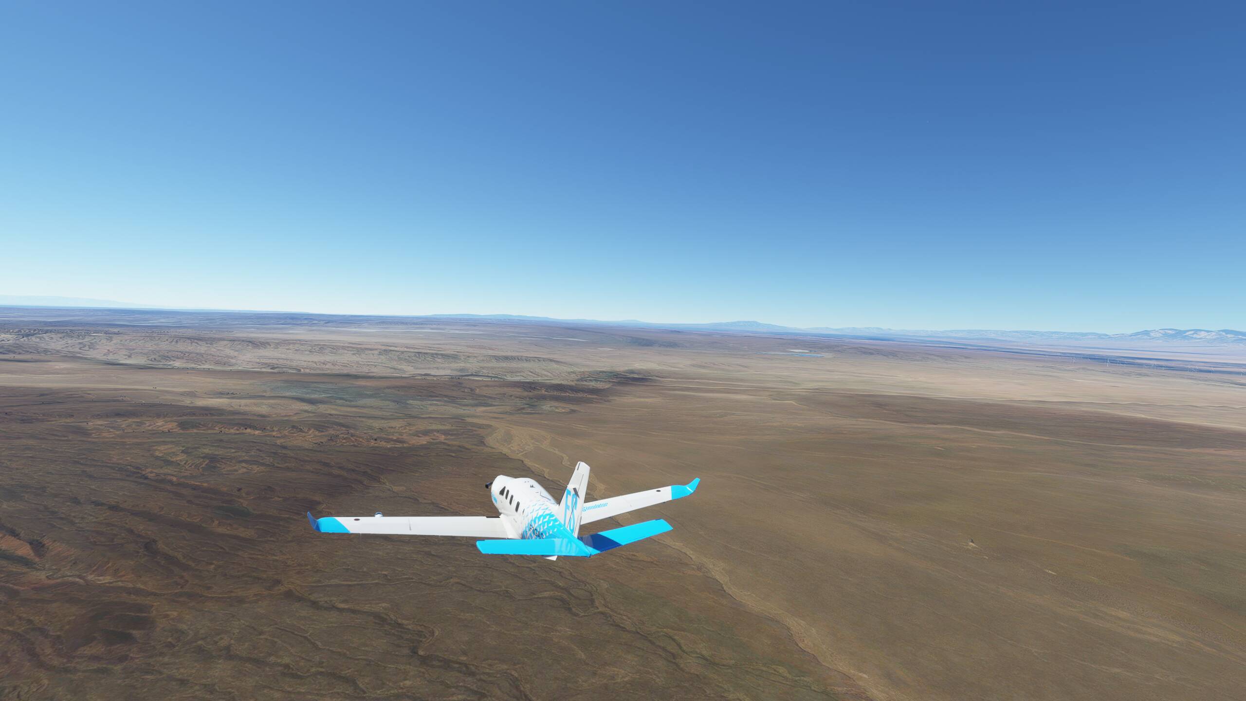
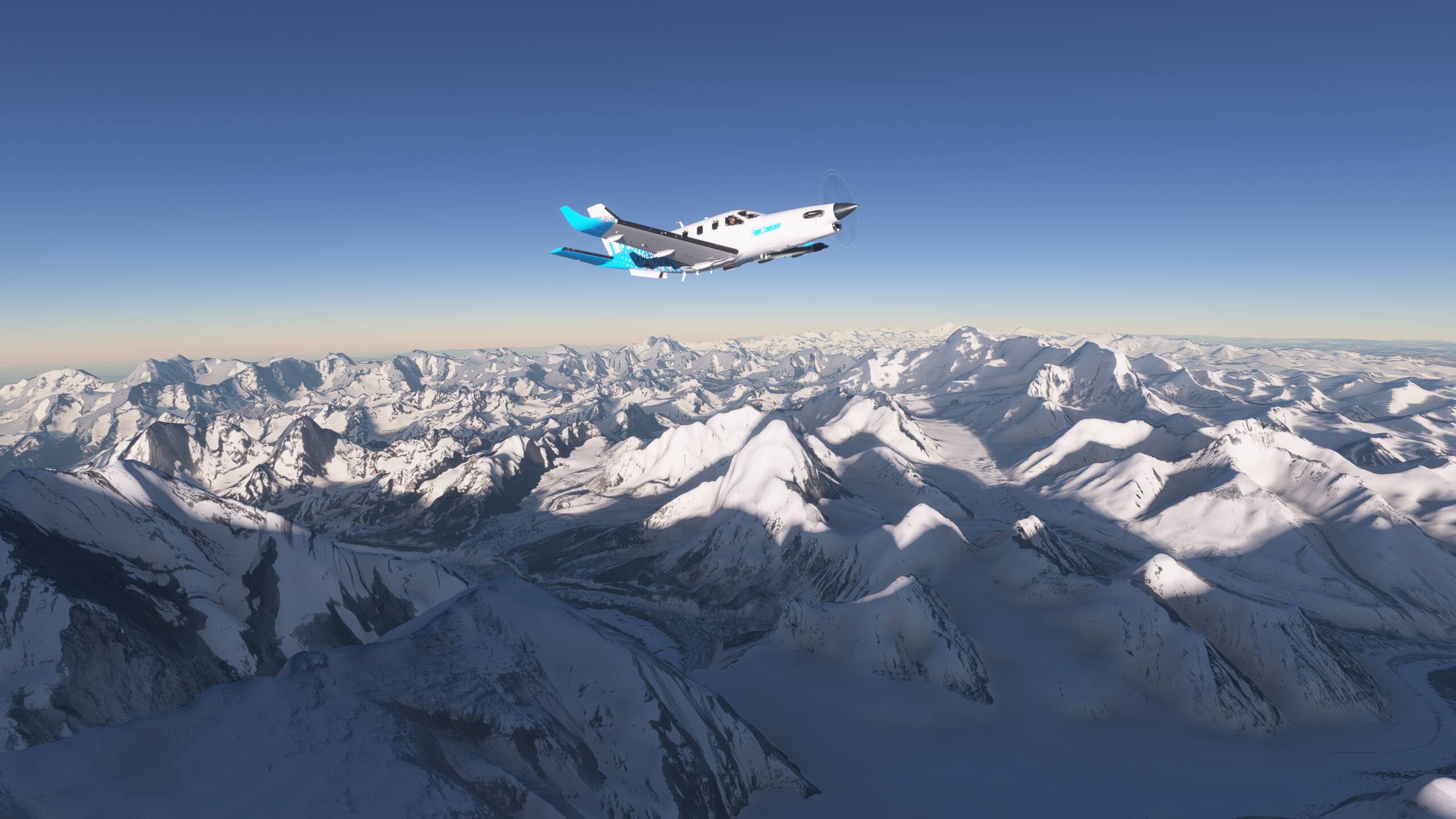
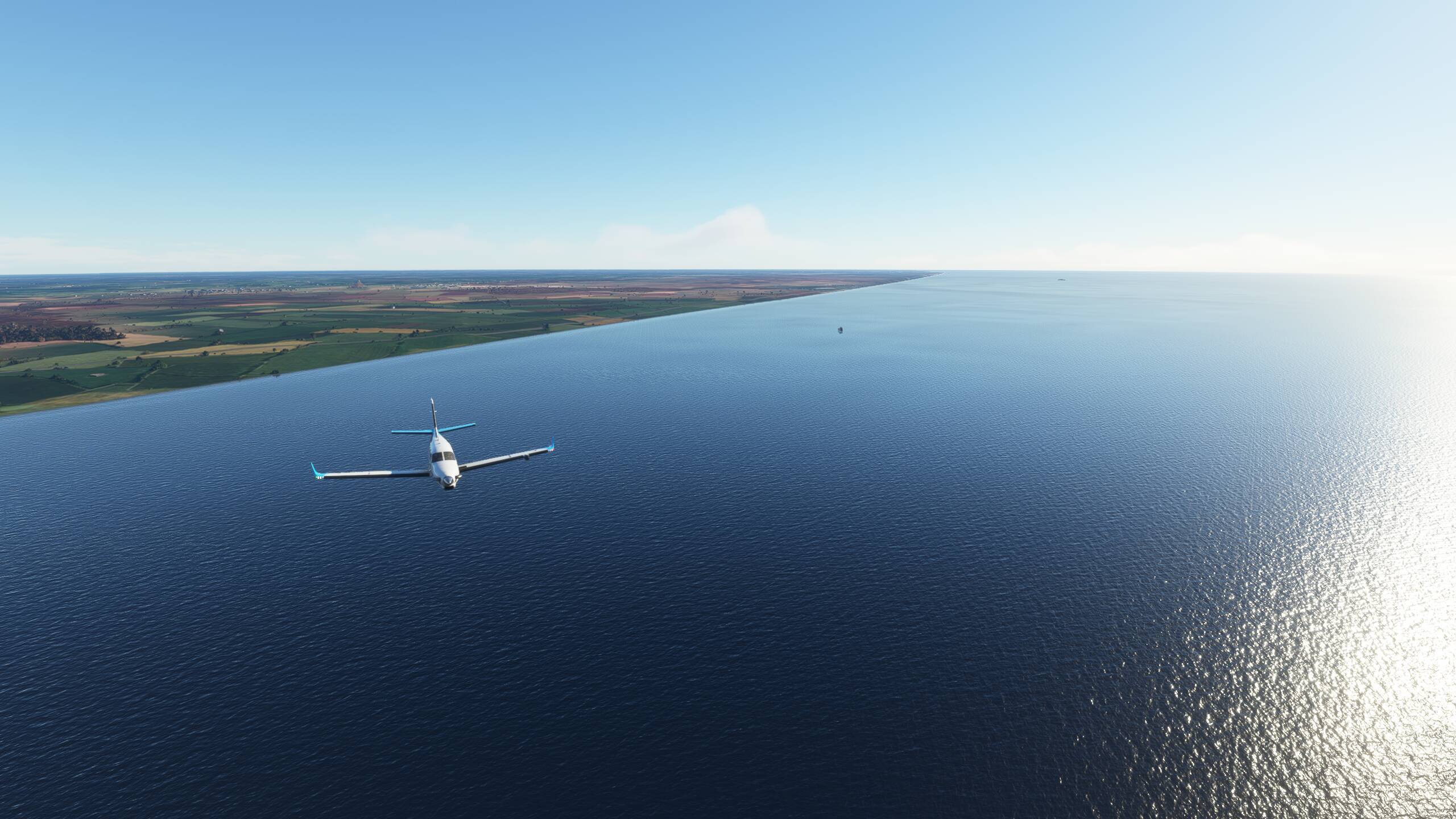
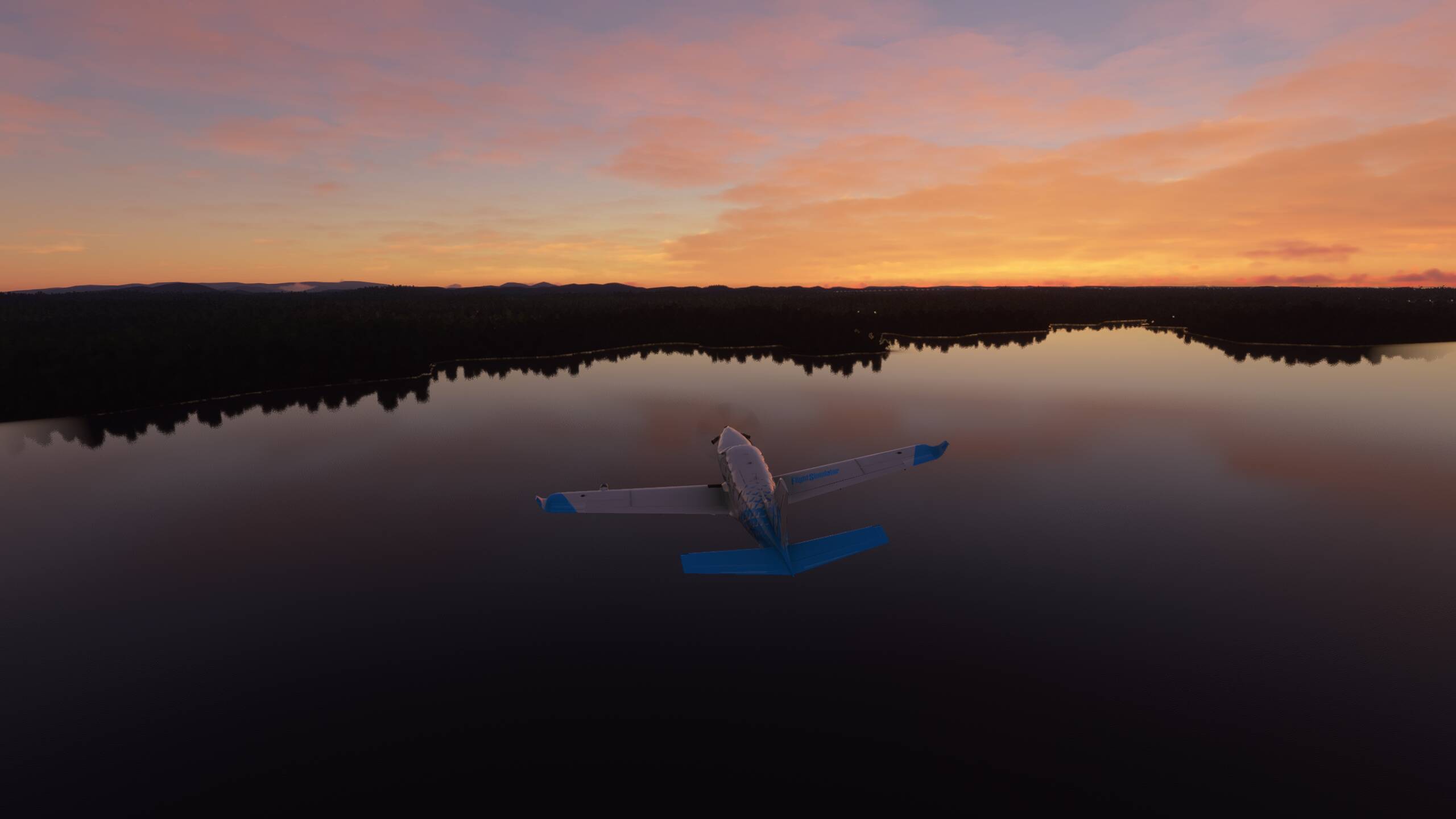
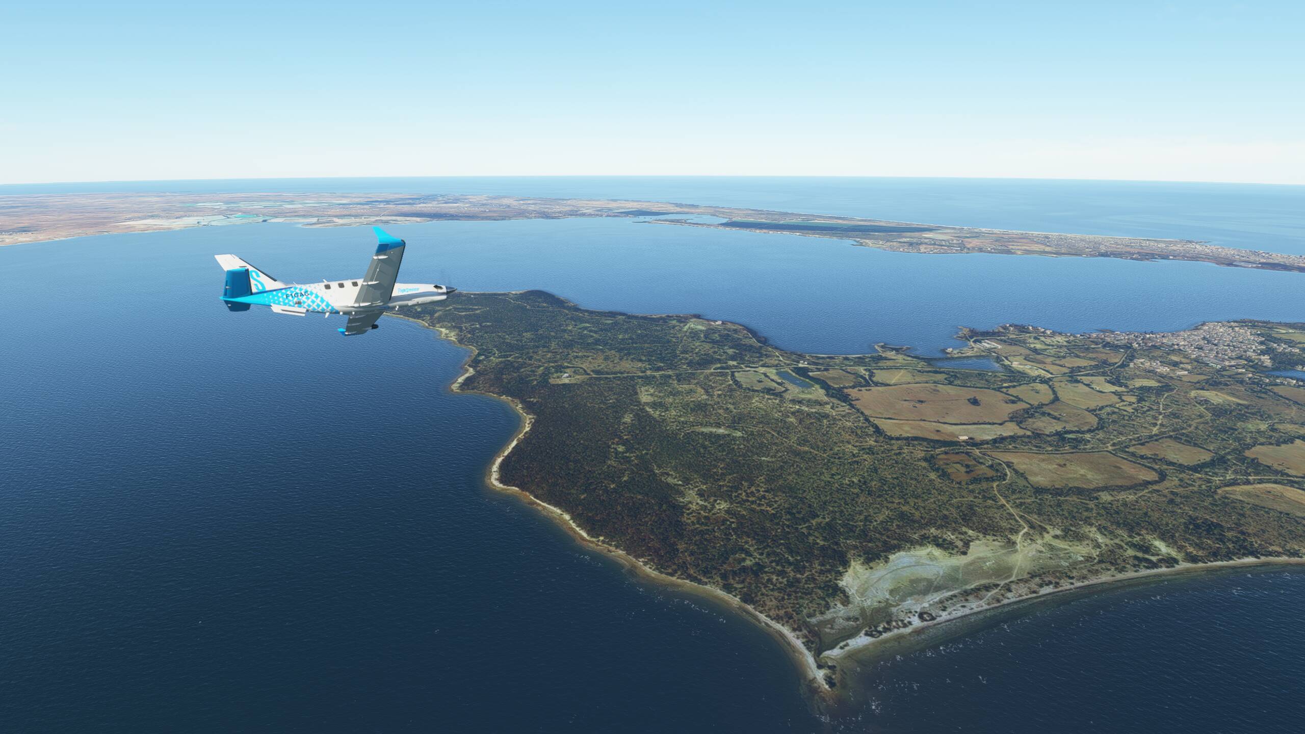
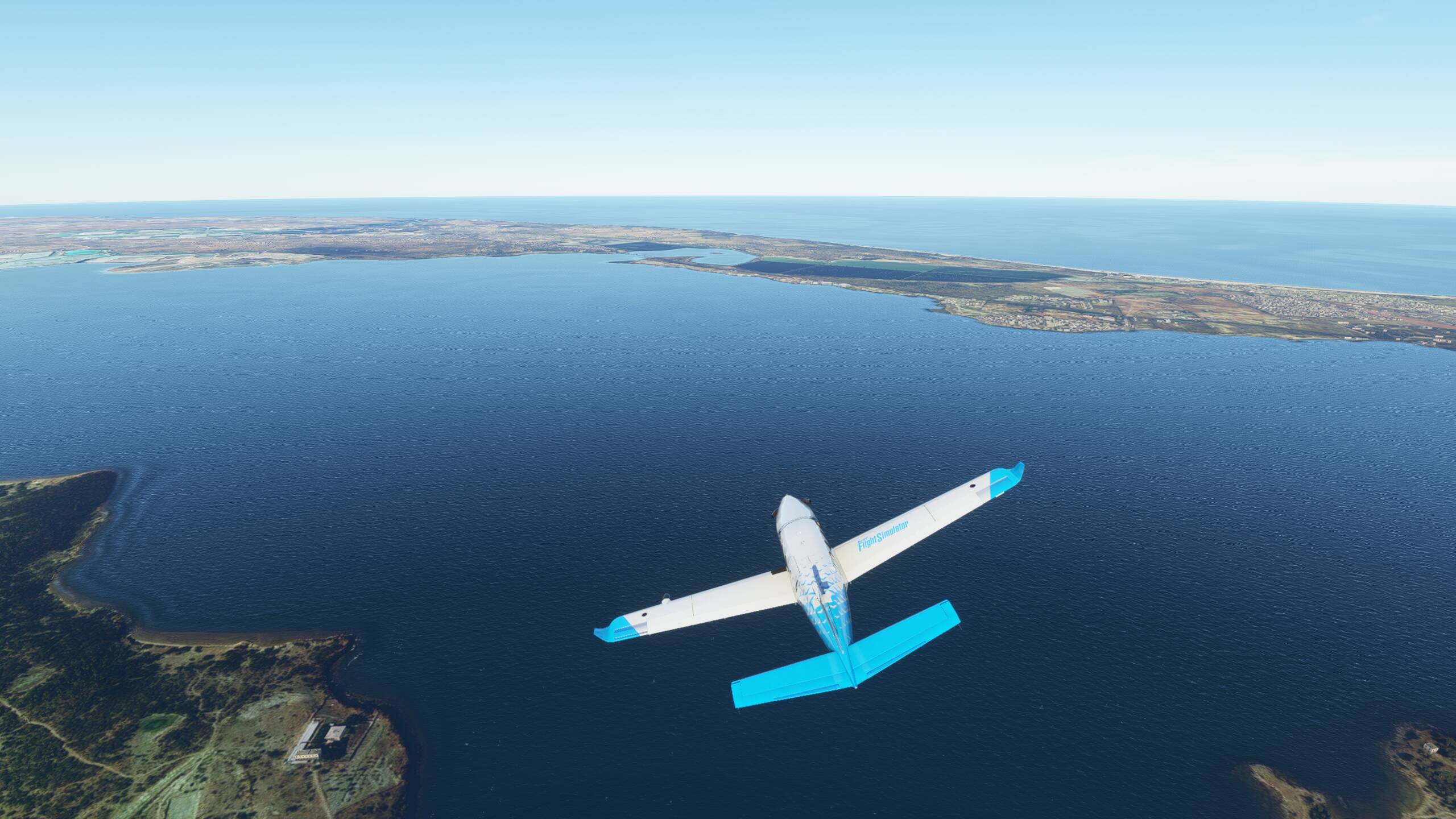
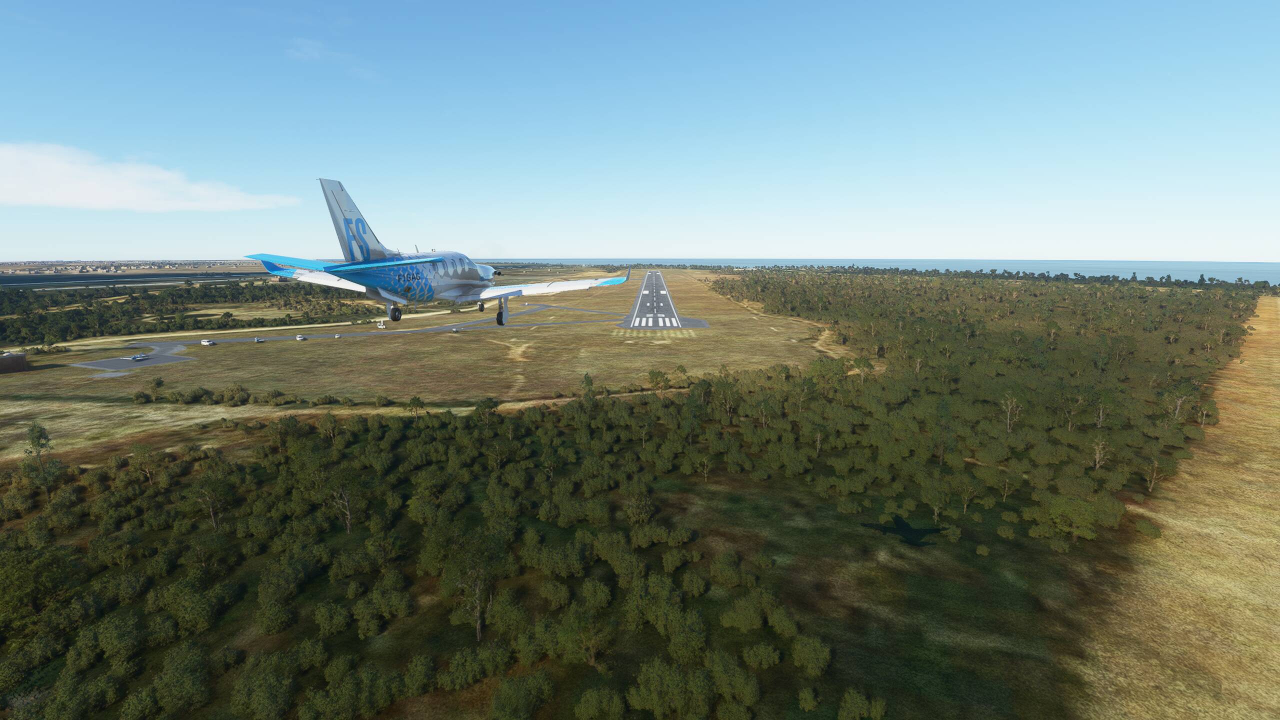
Smooth take off with the storm behind us and nice views over Bali


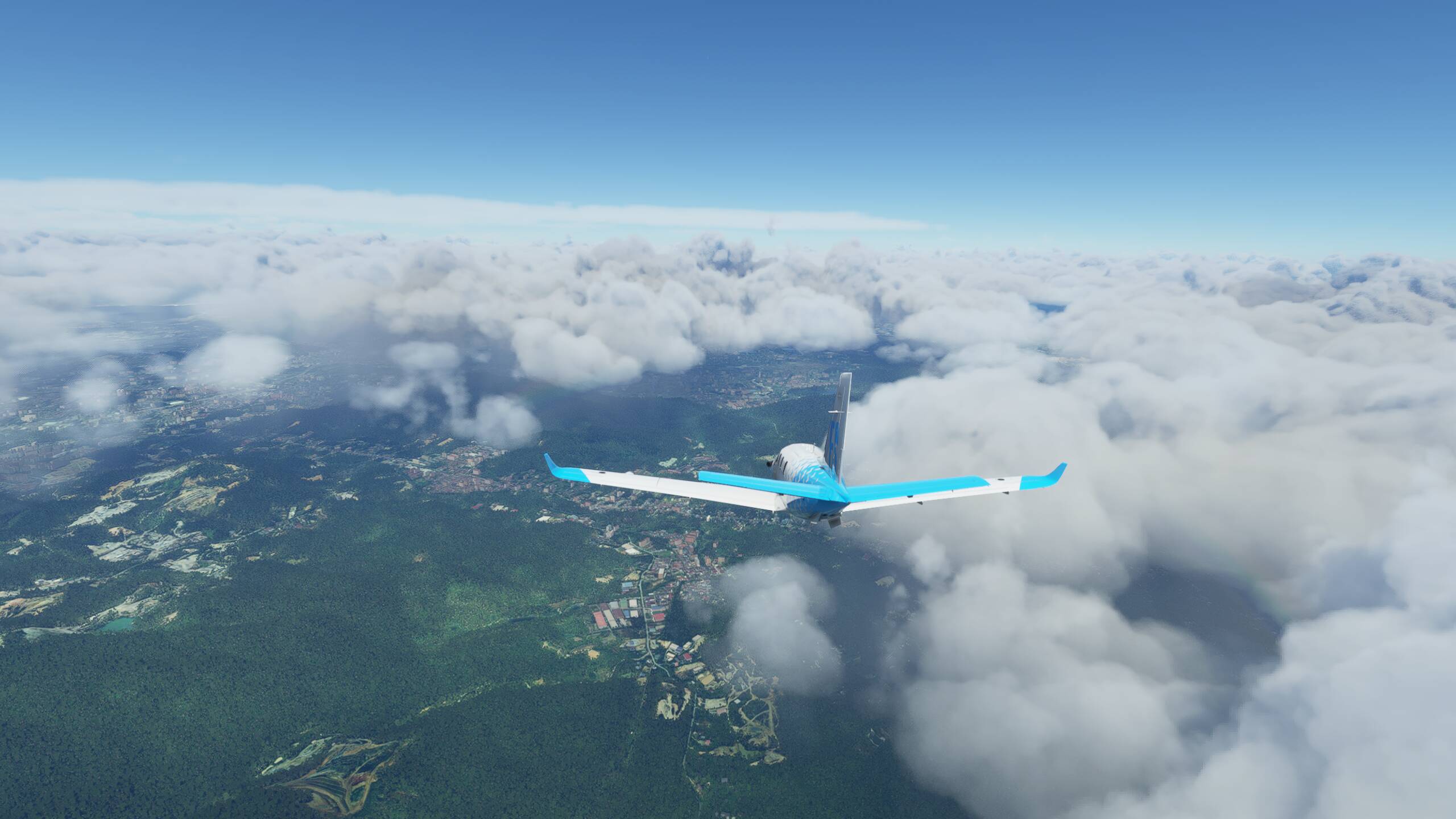
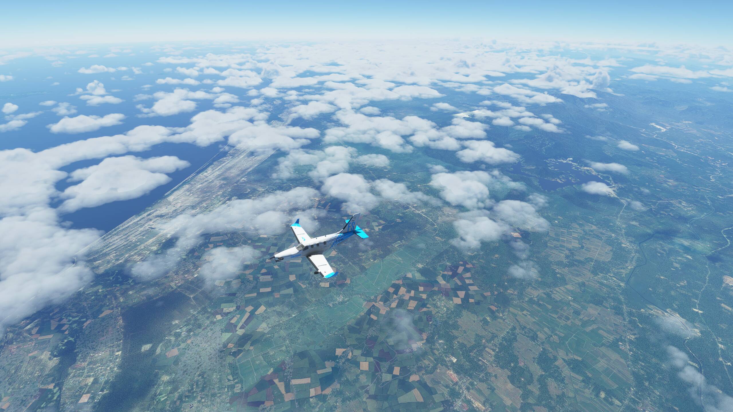
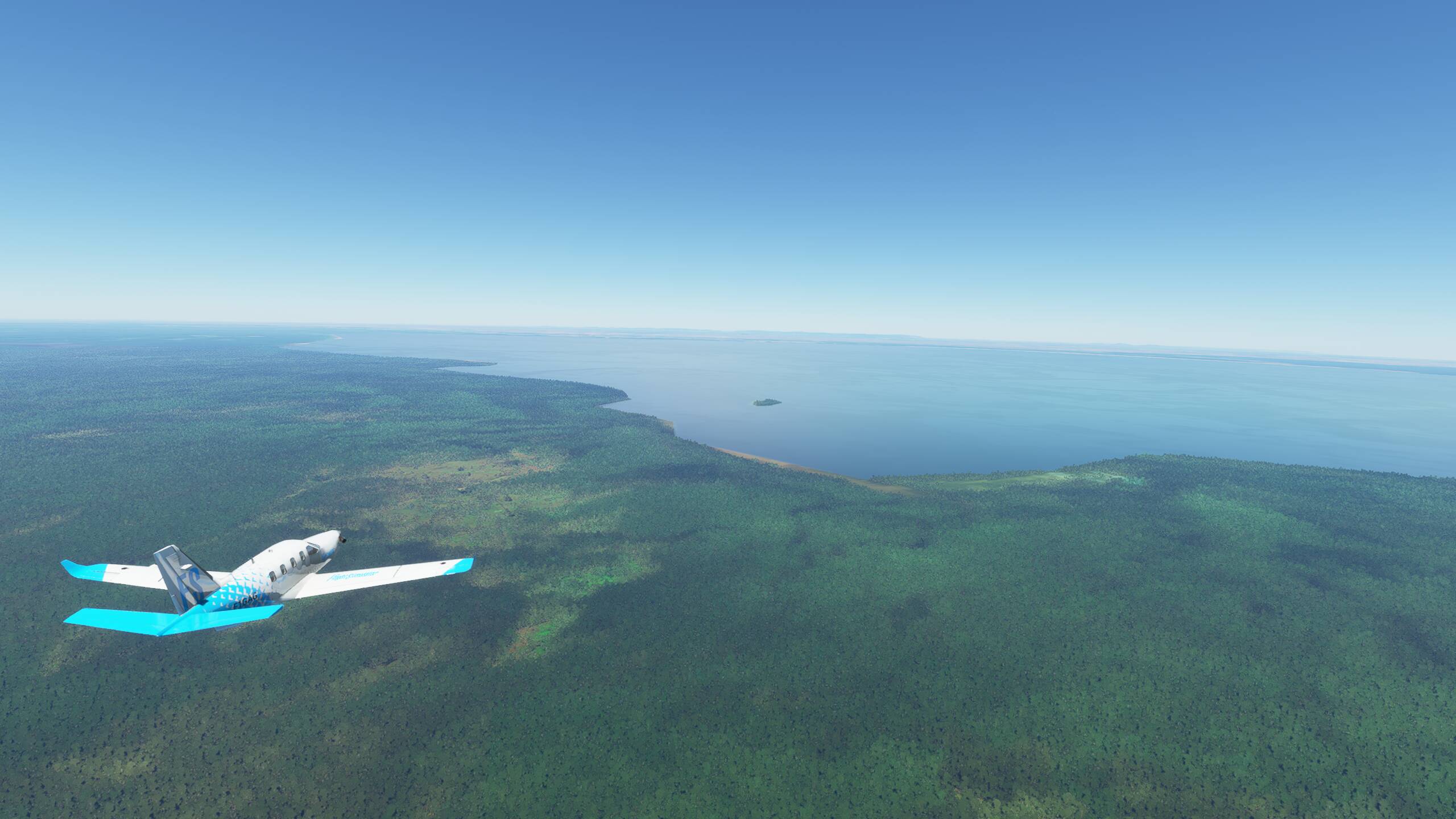
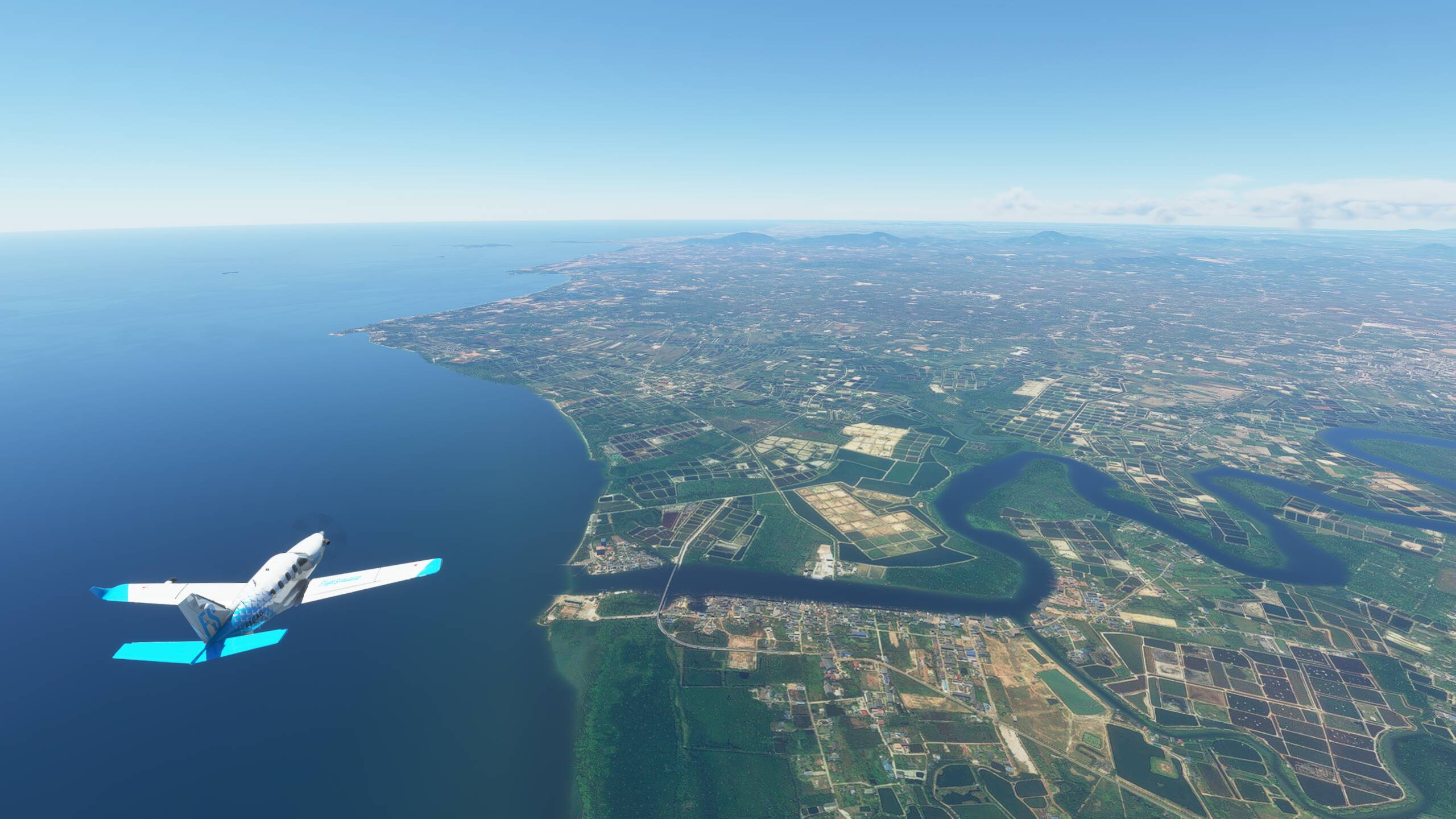
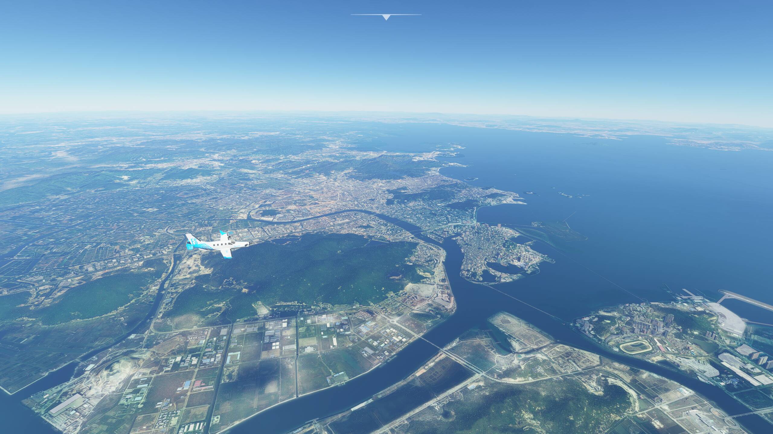
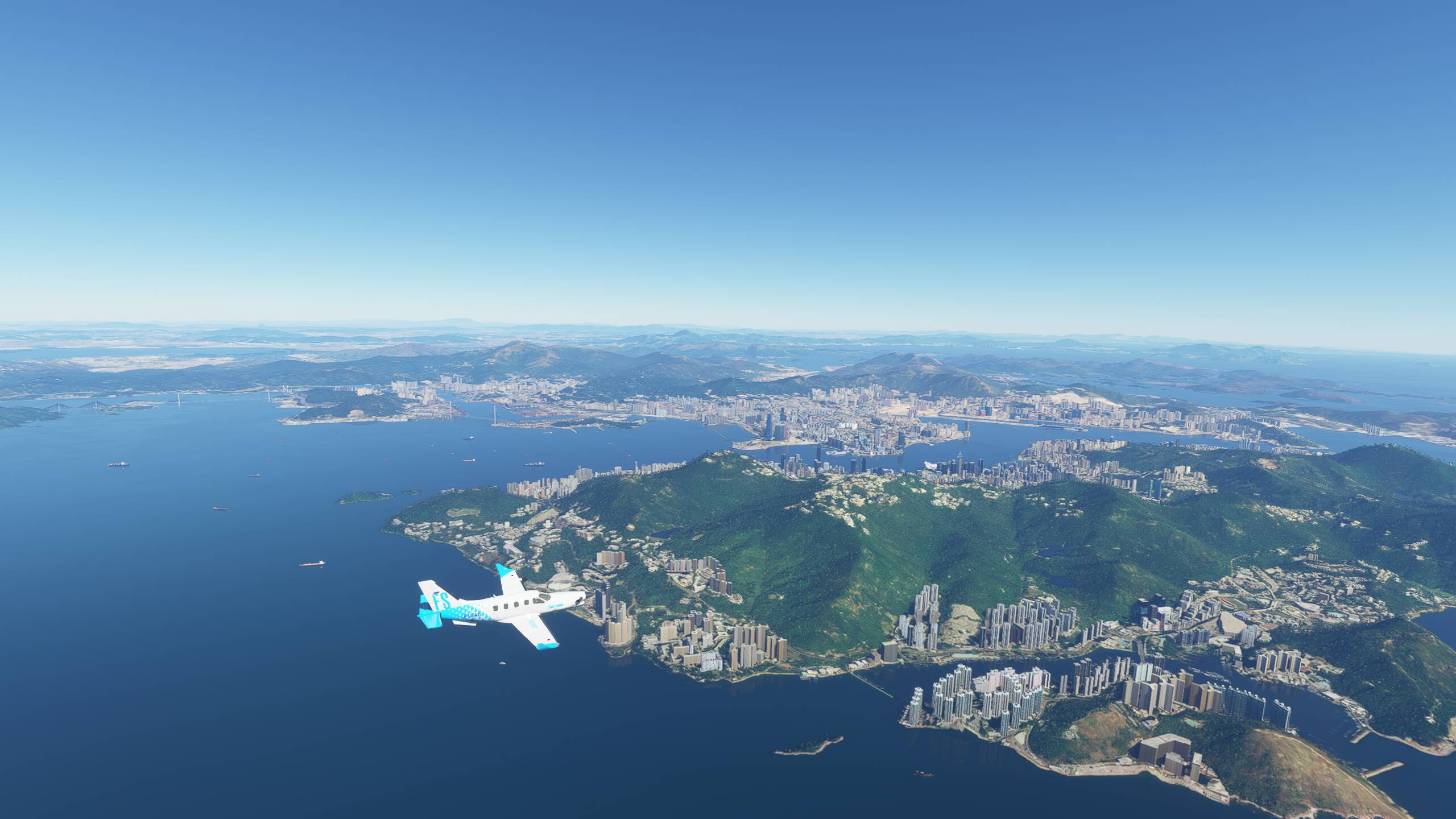
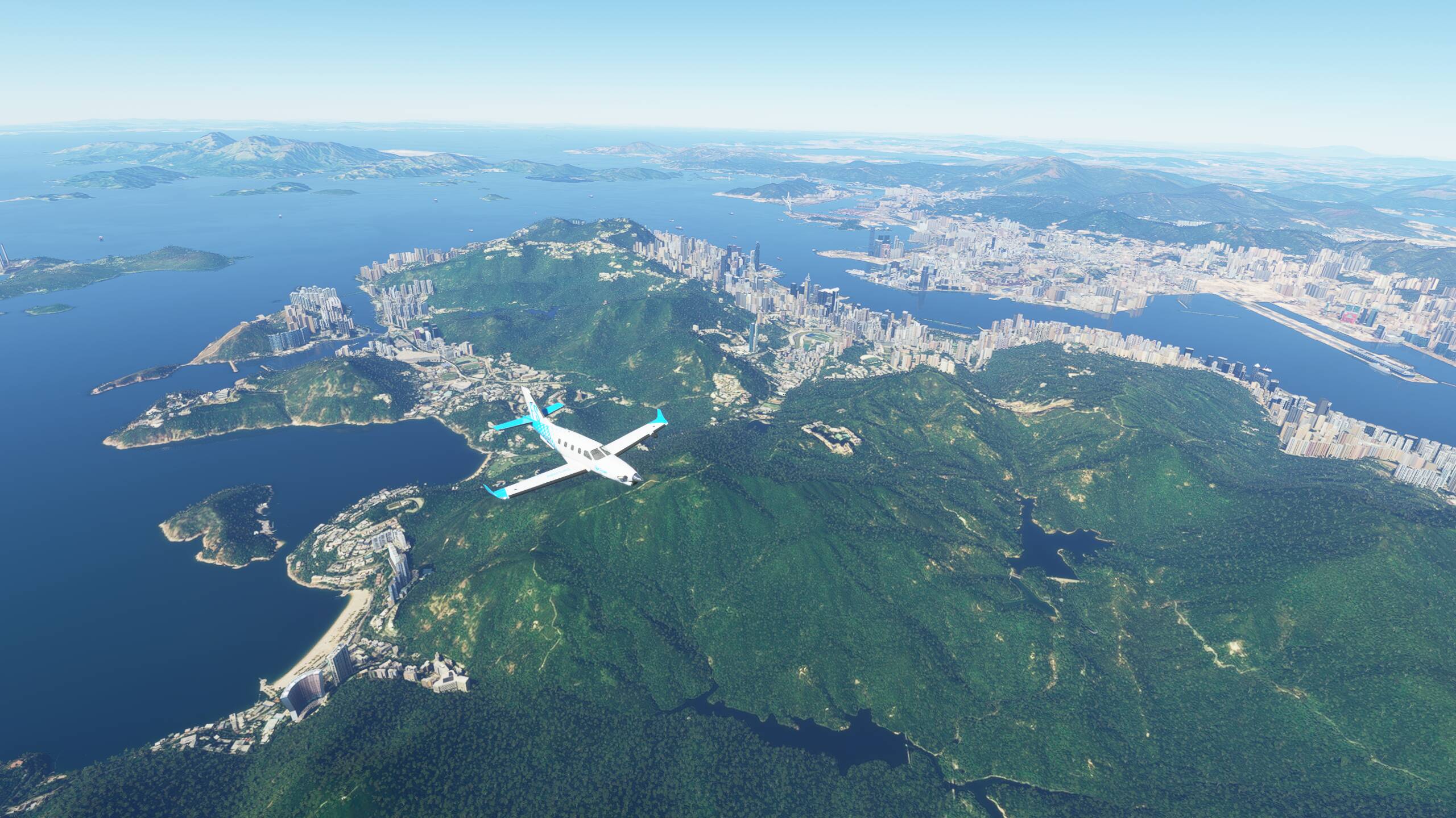
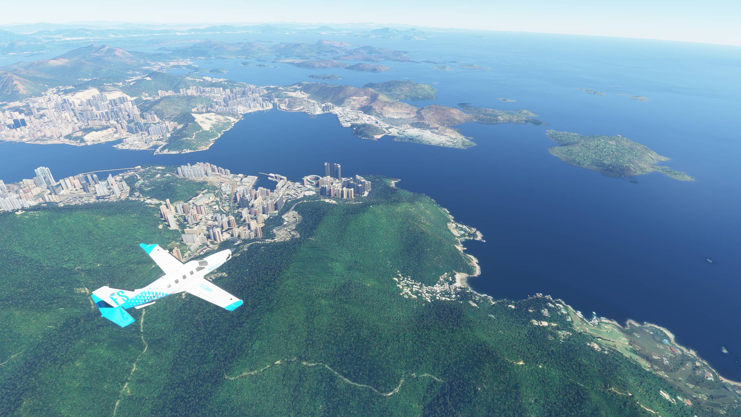
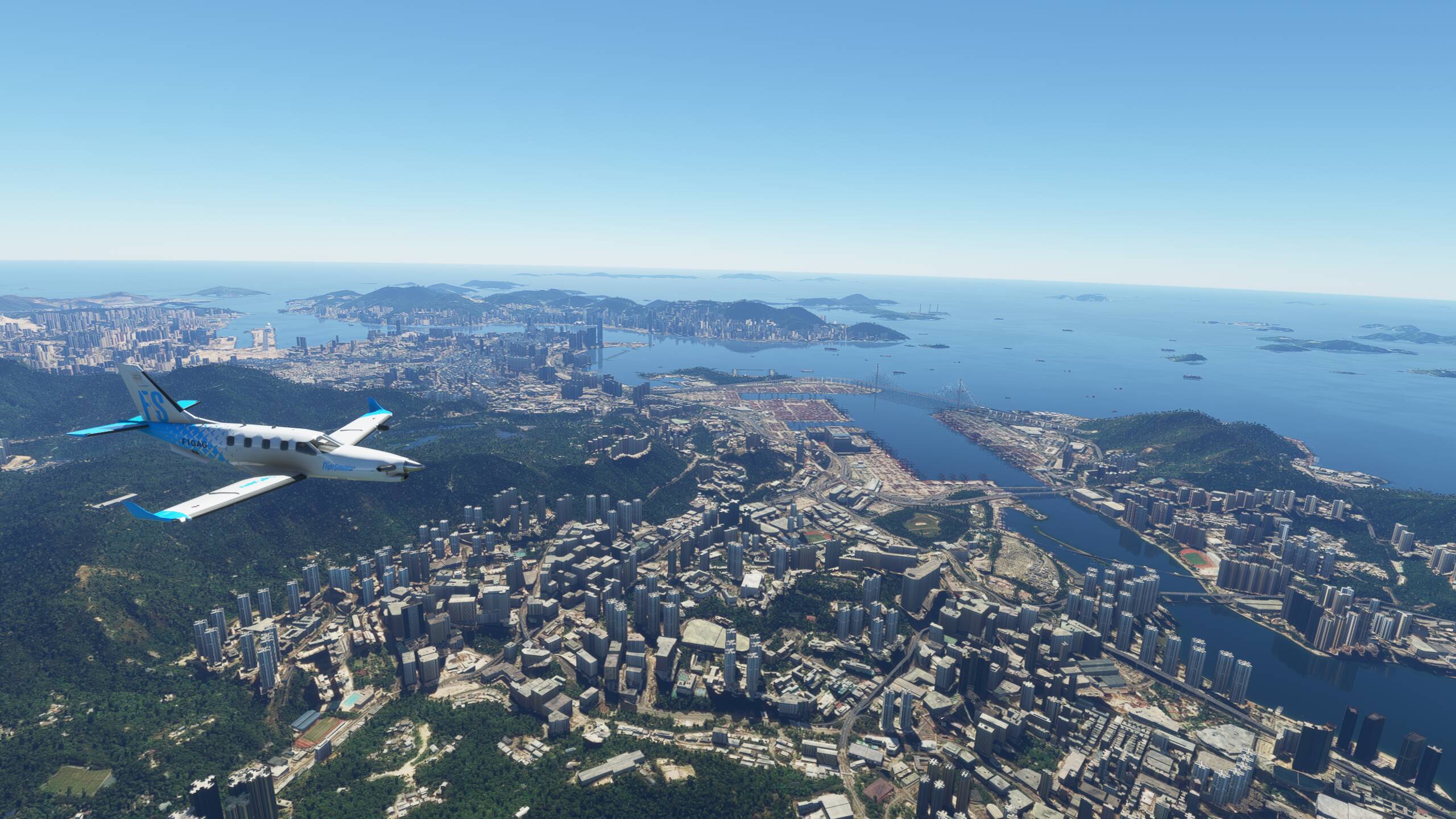
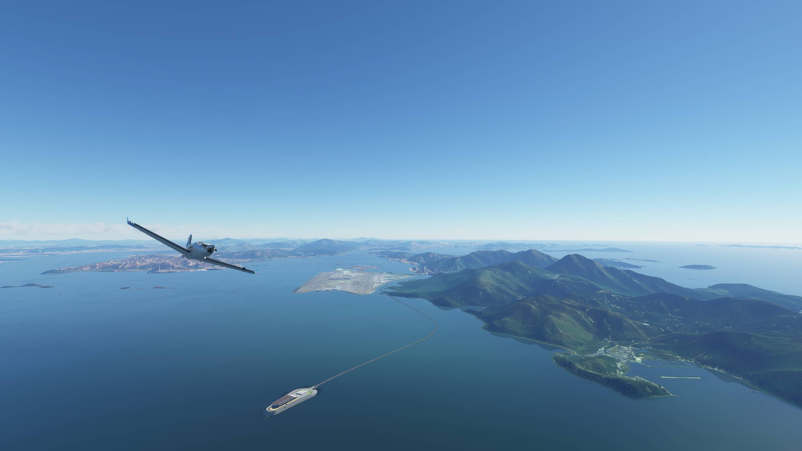
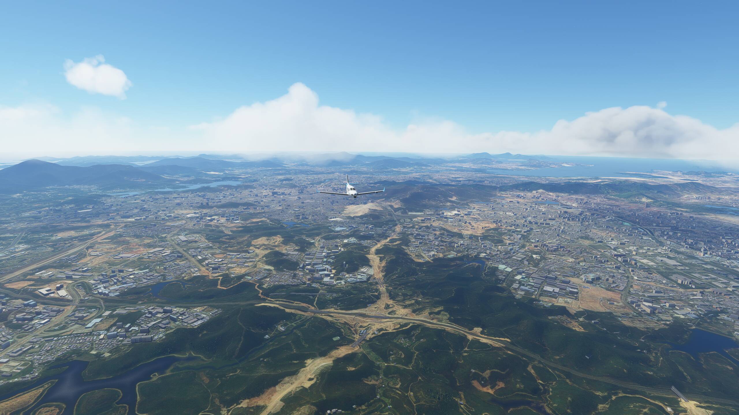
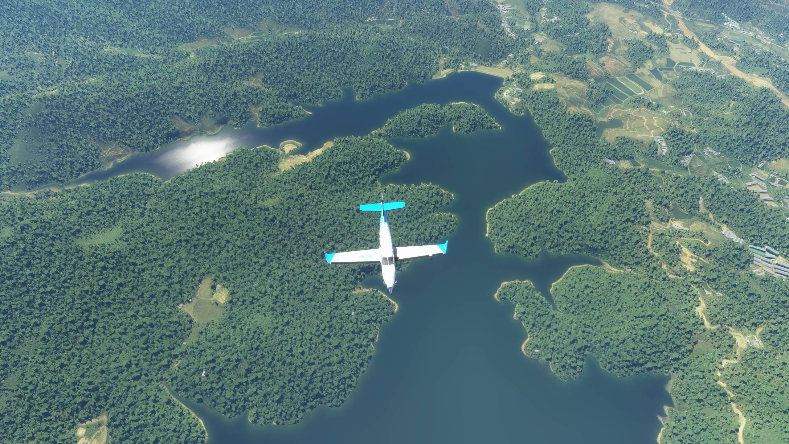
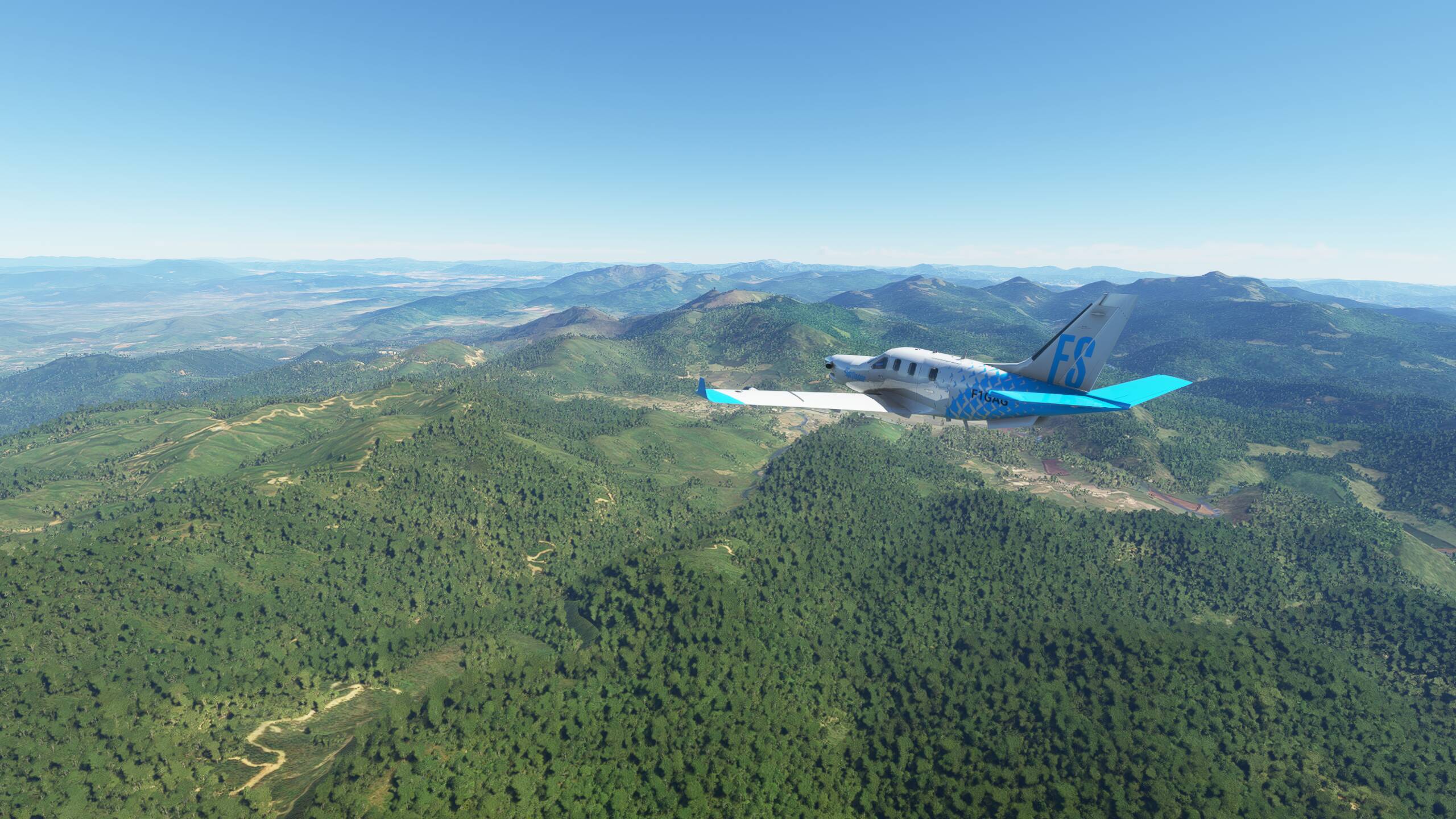
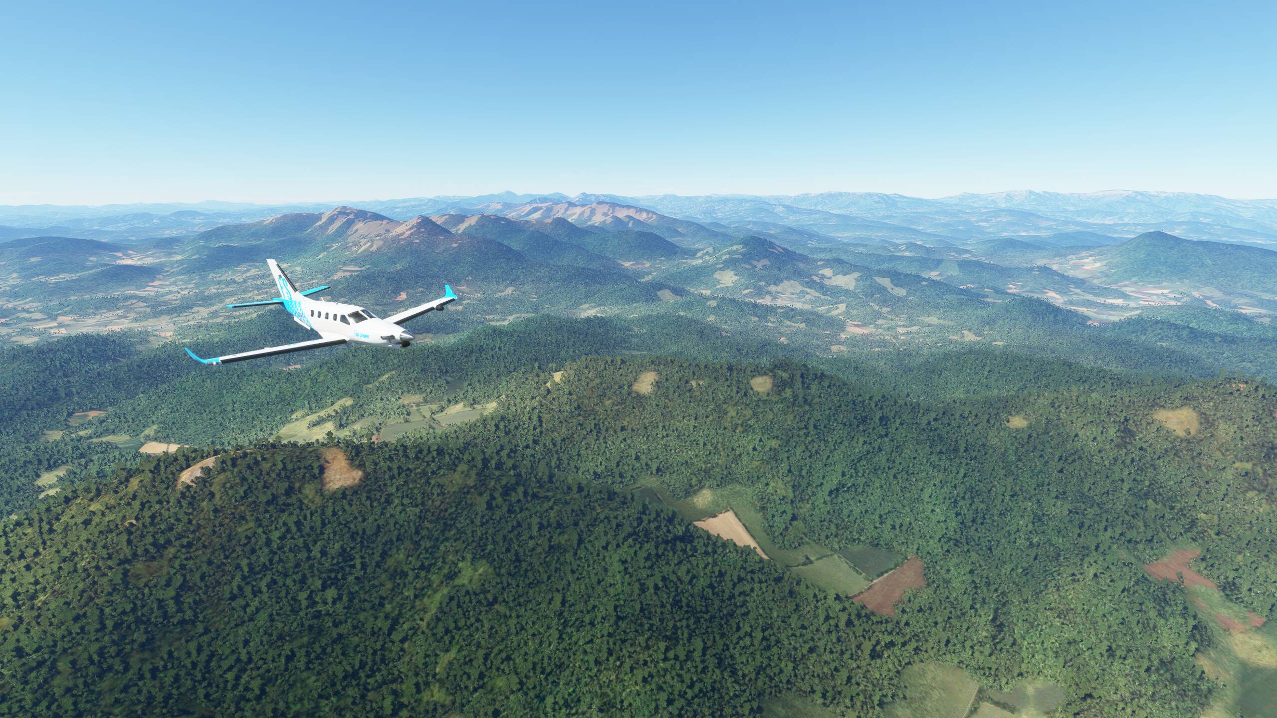
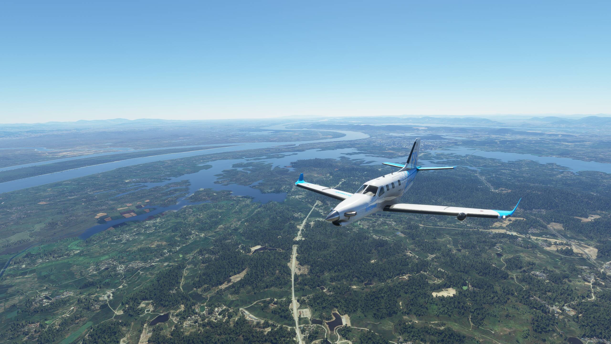
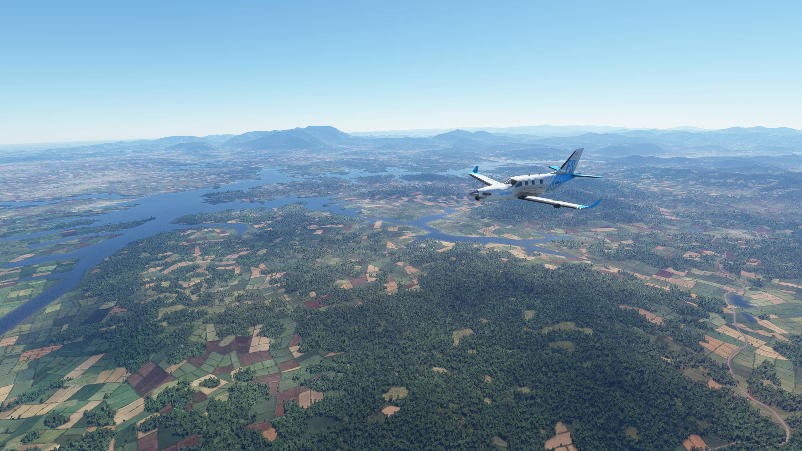
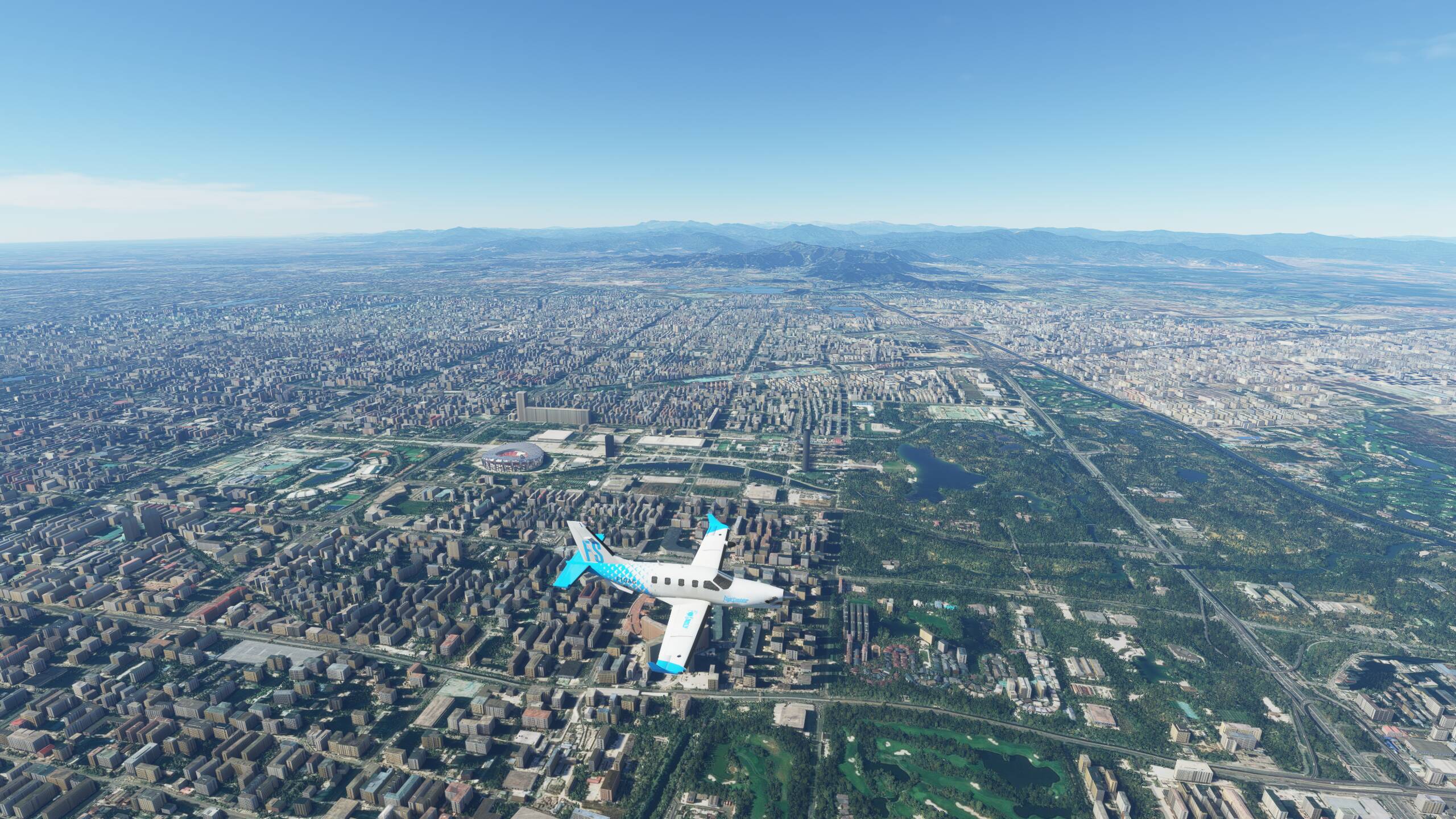
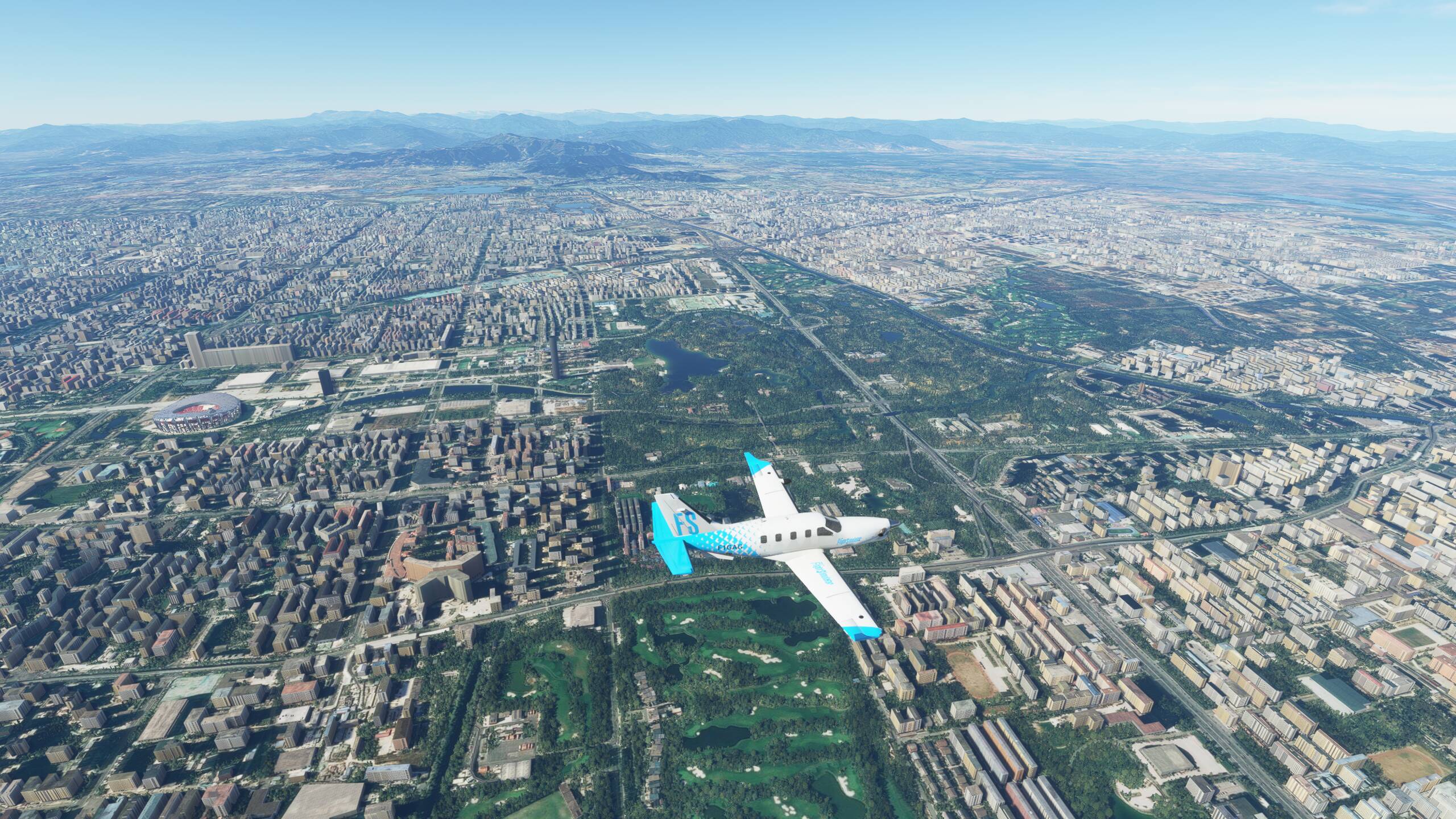
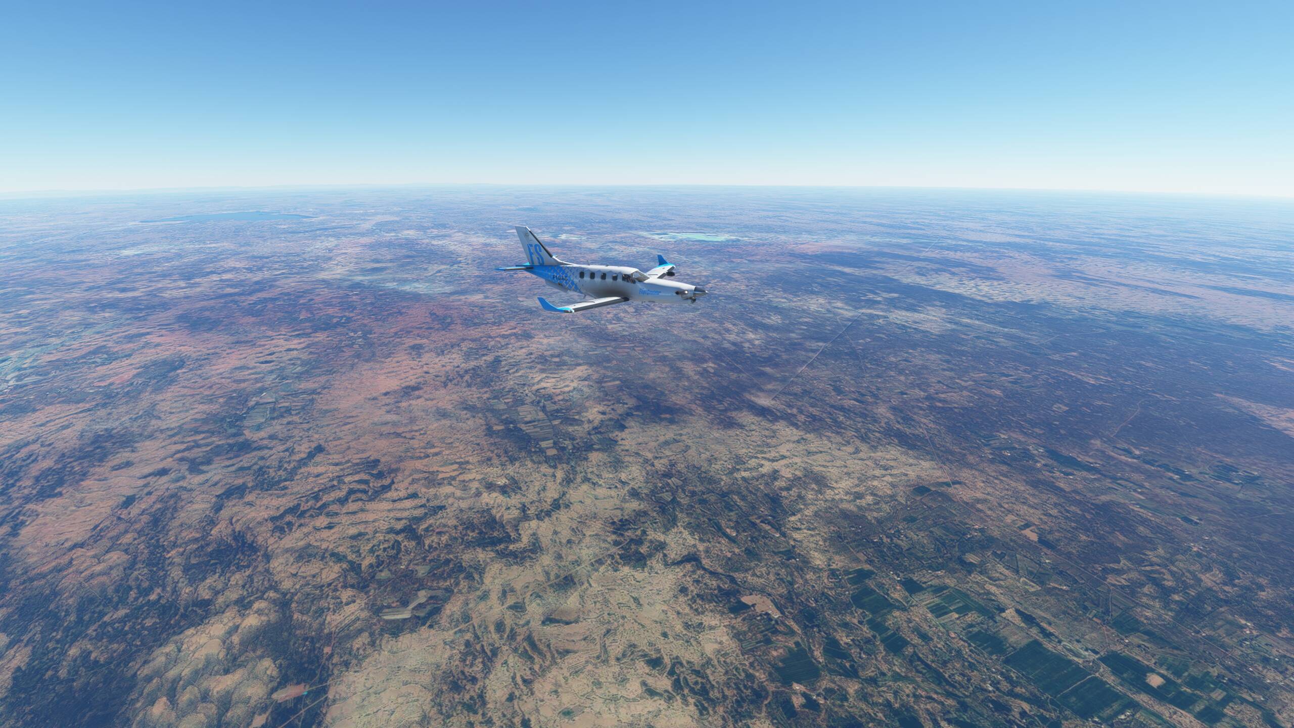
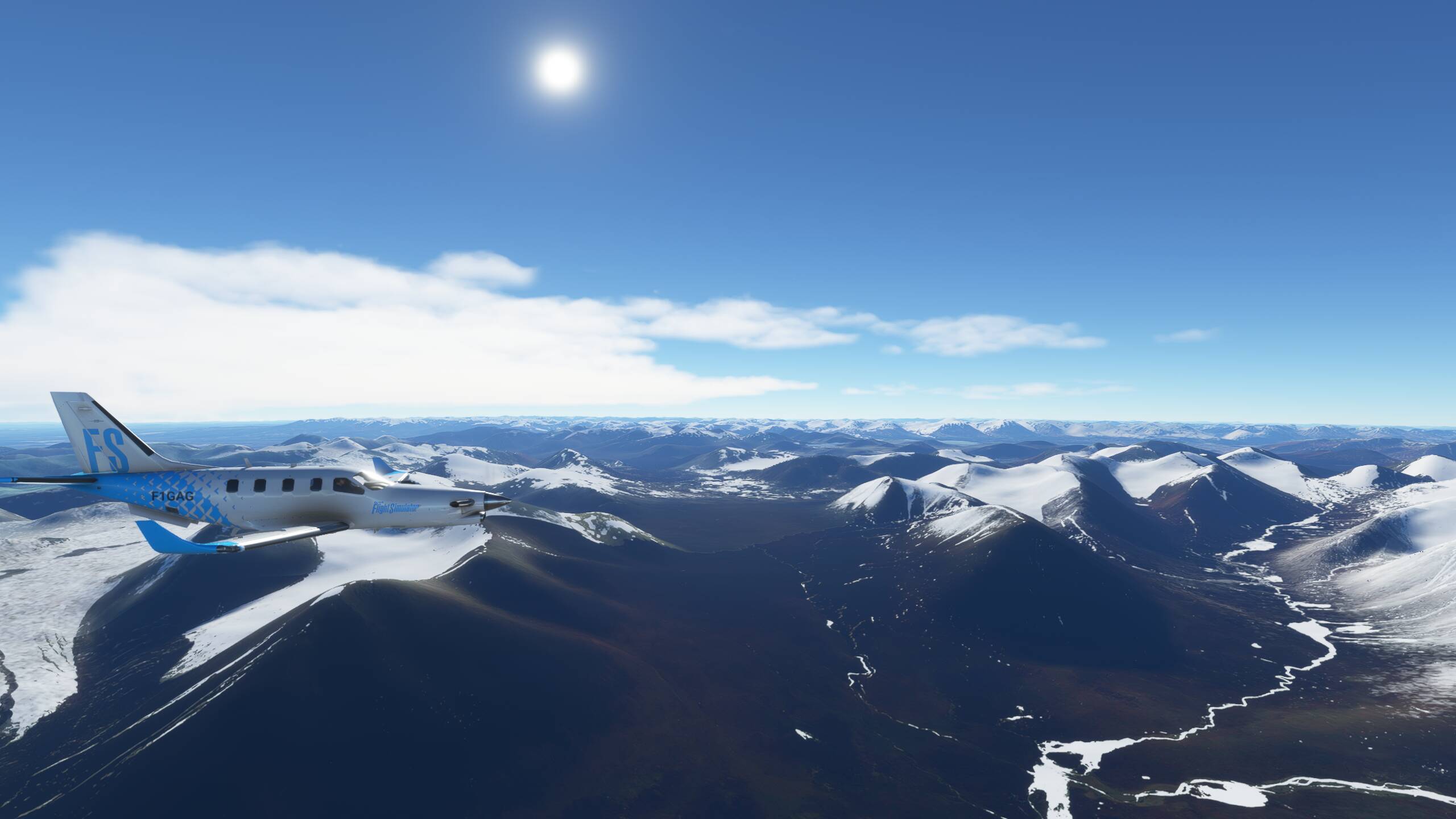
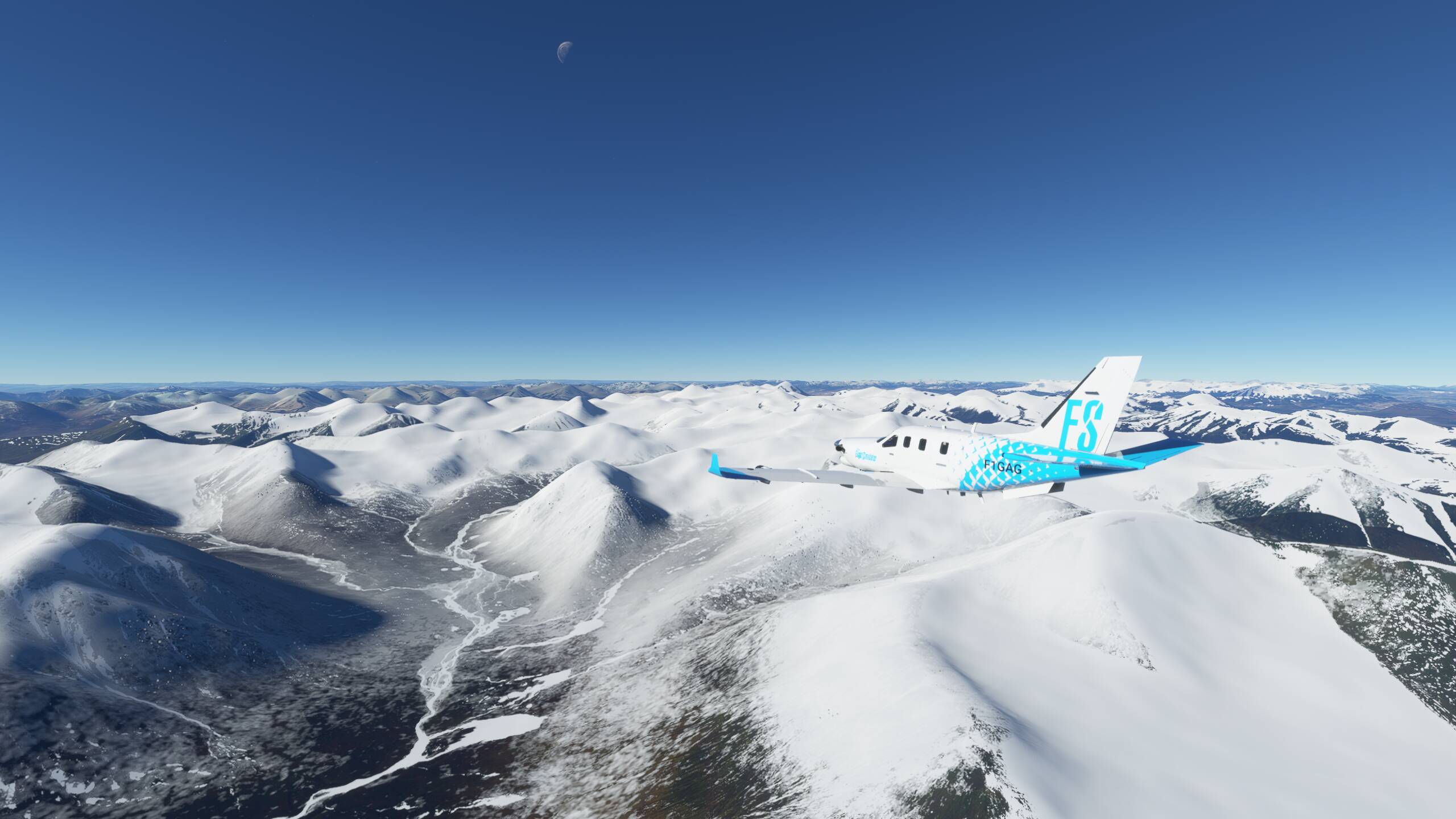
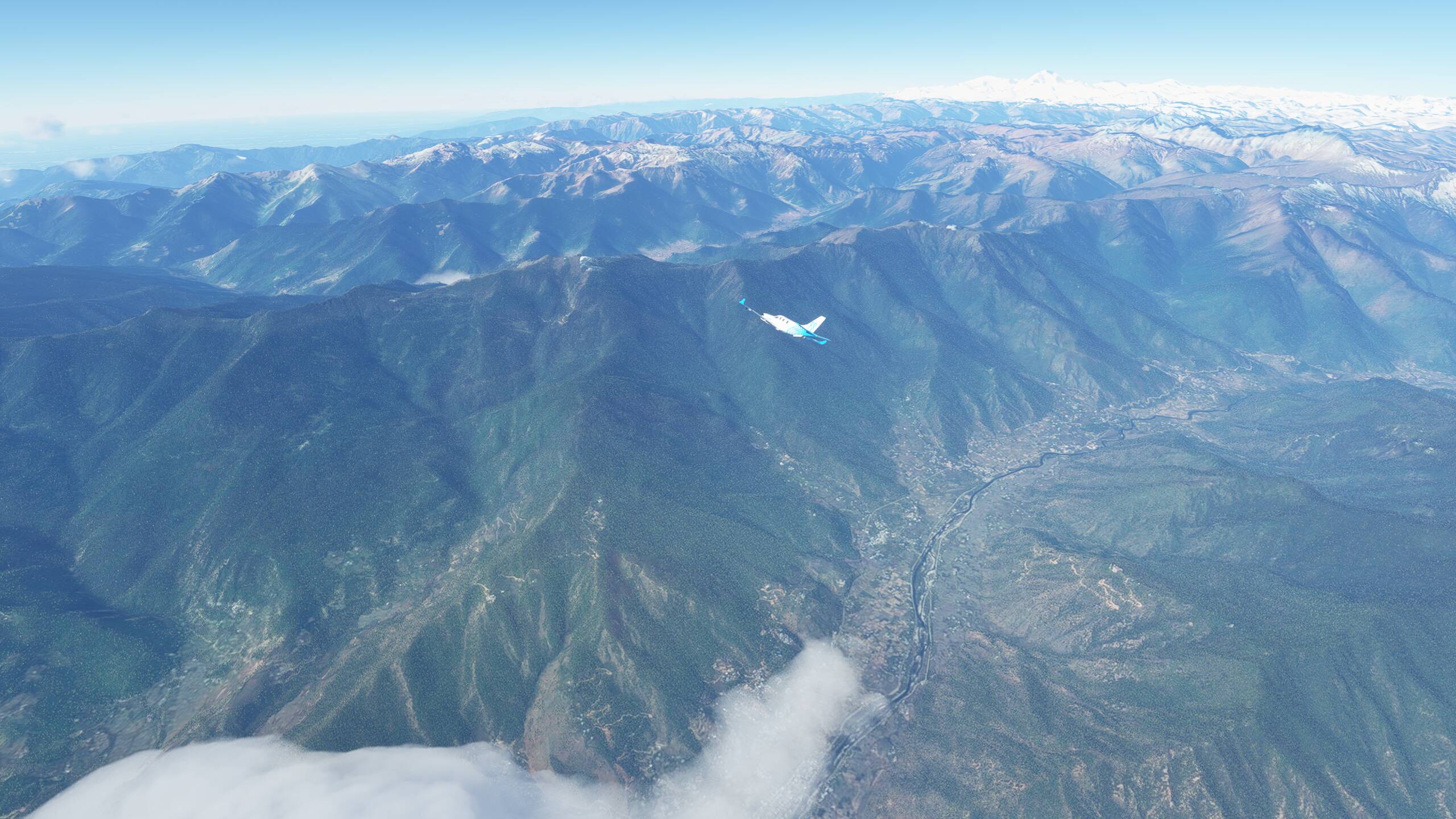
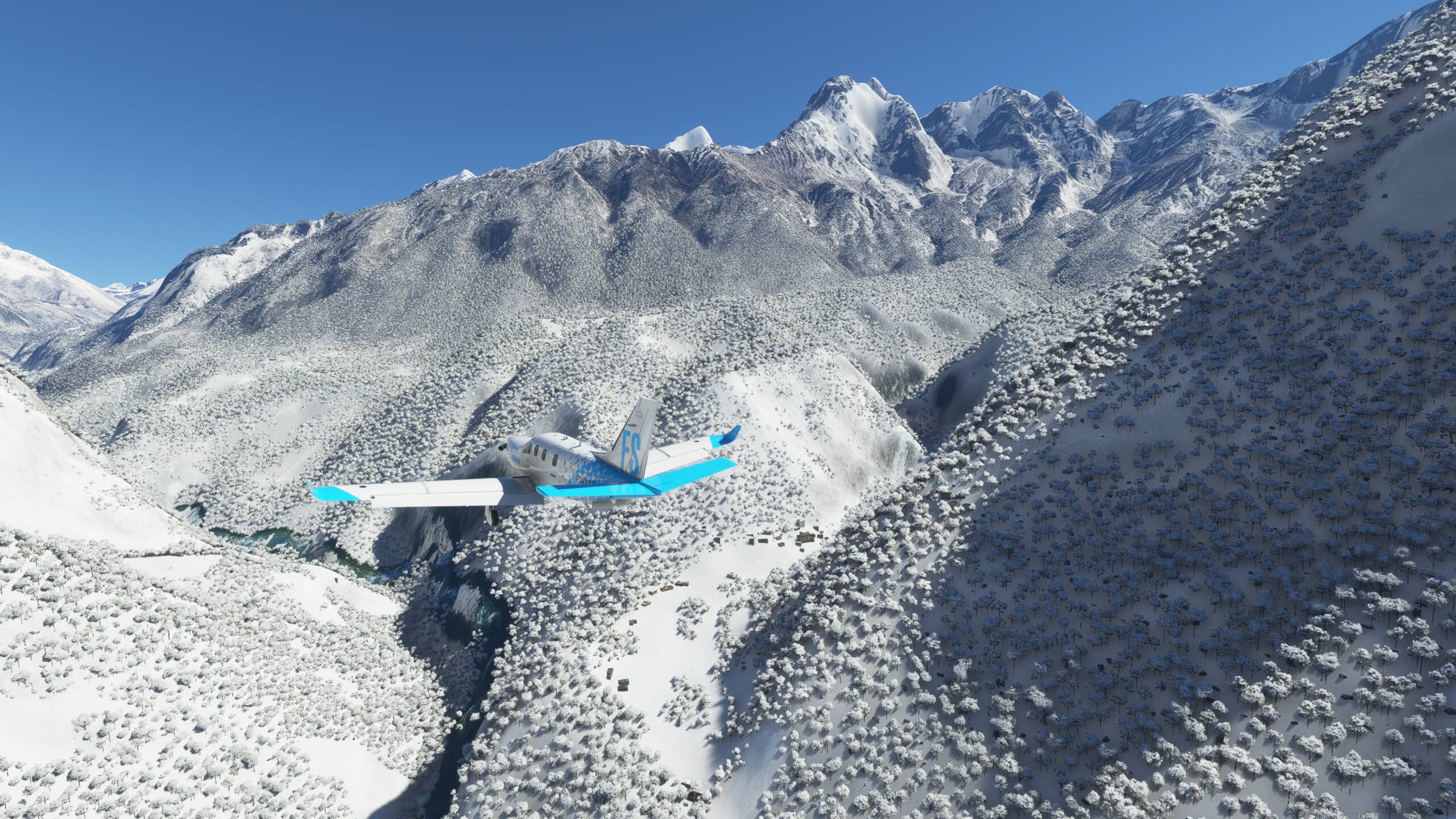
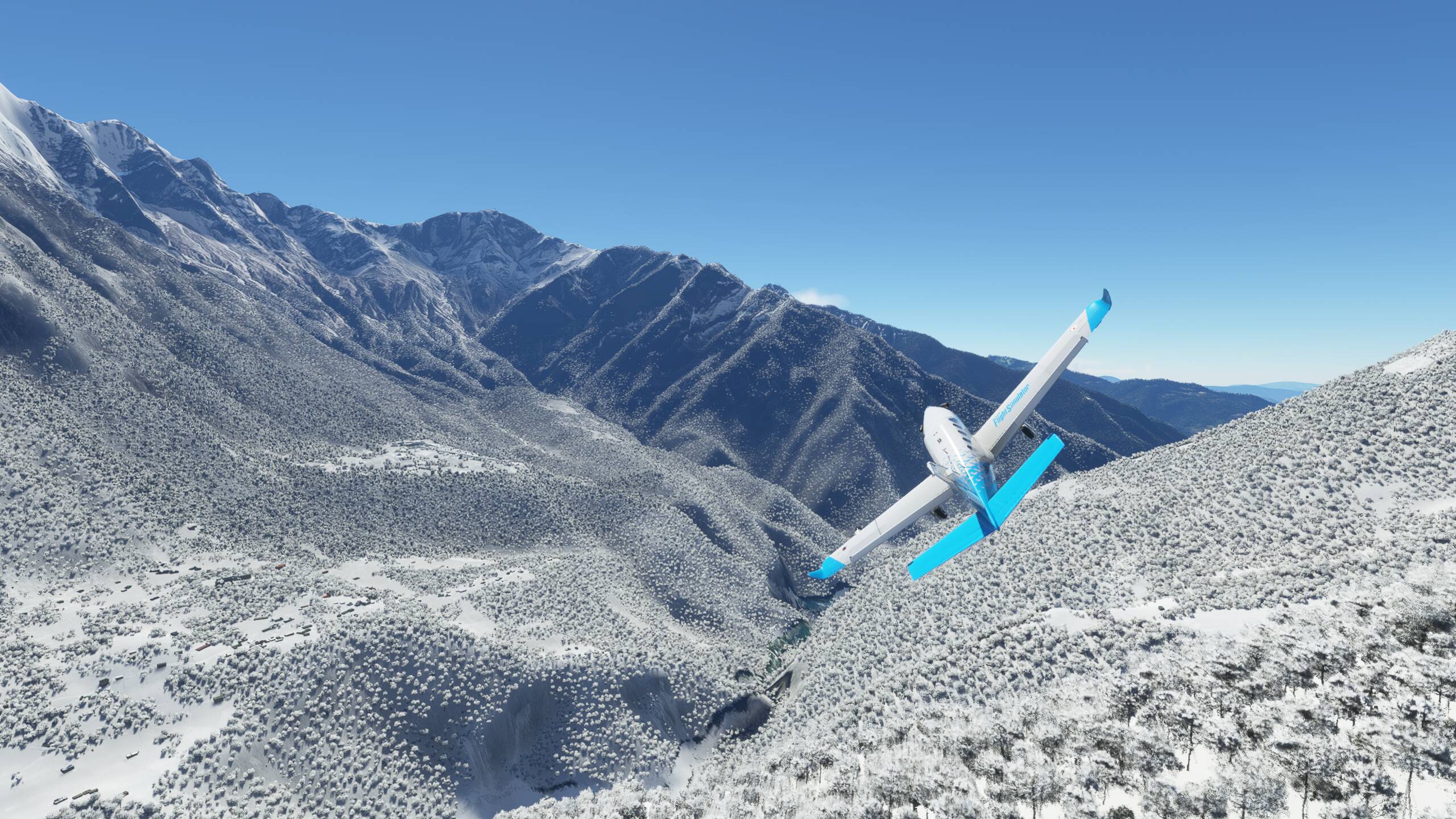
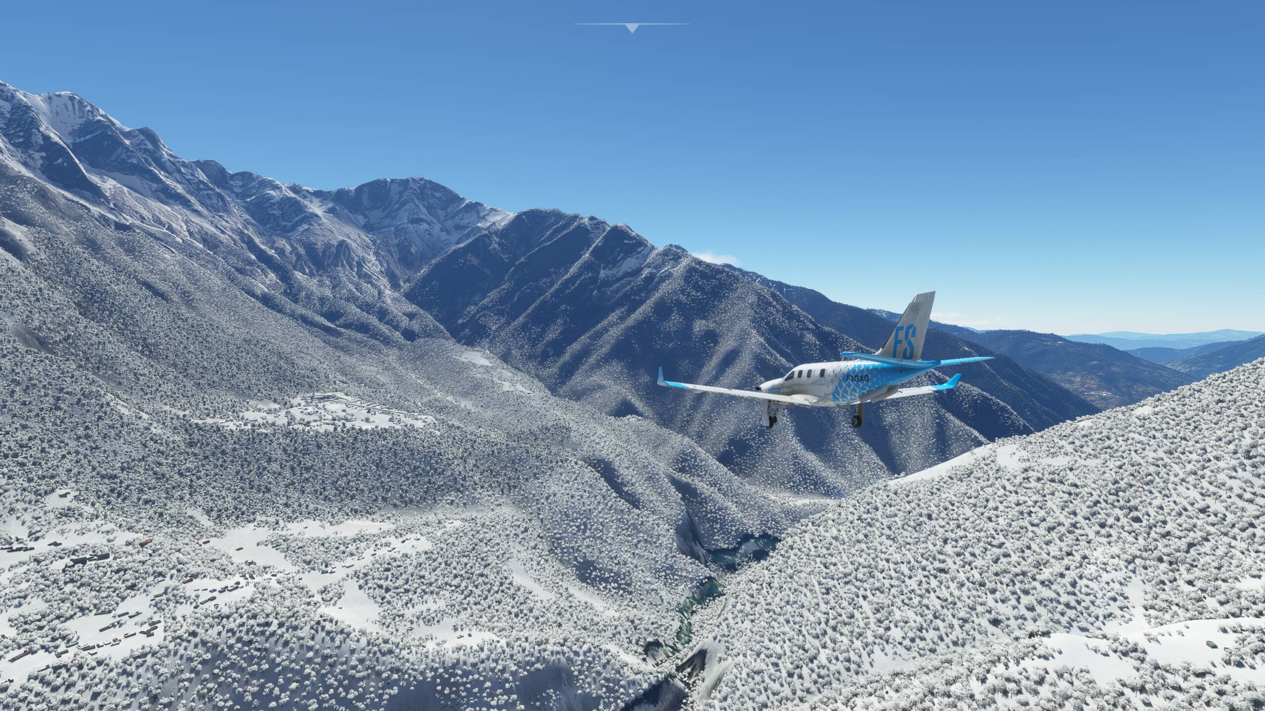
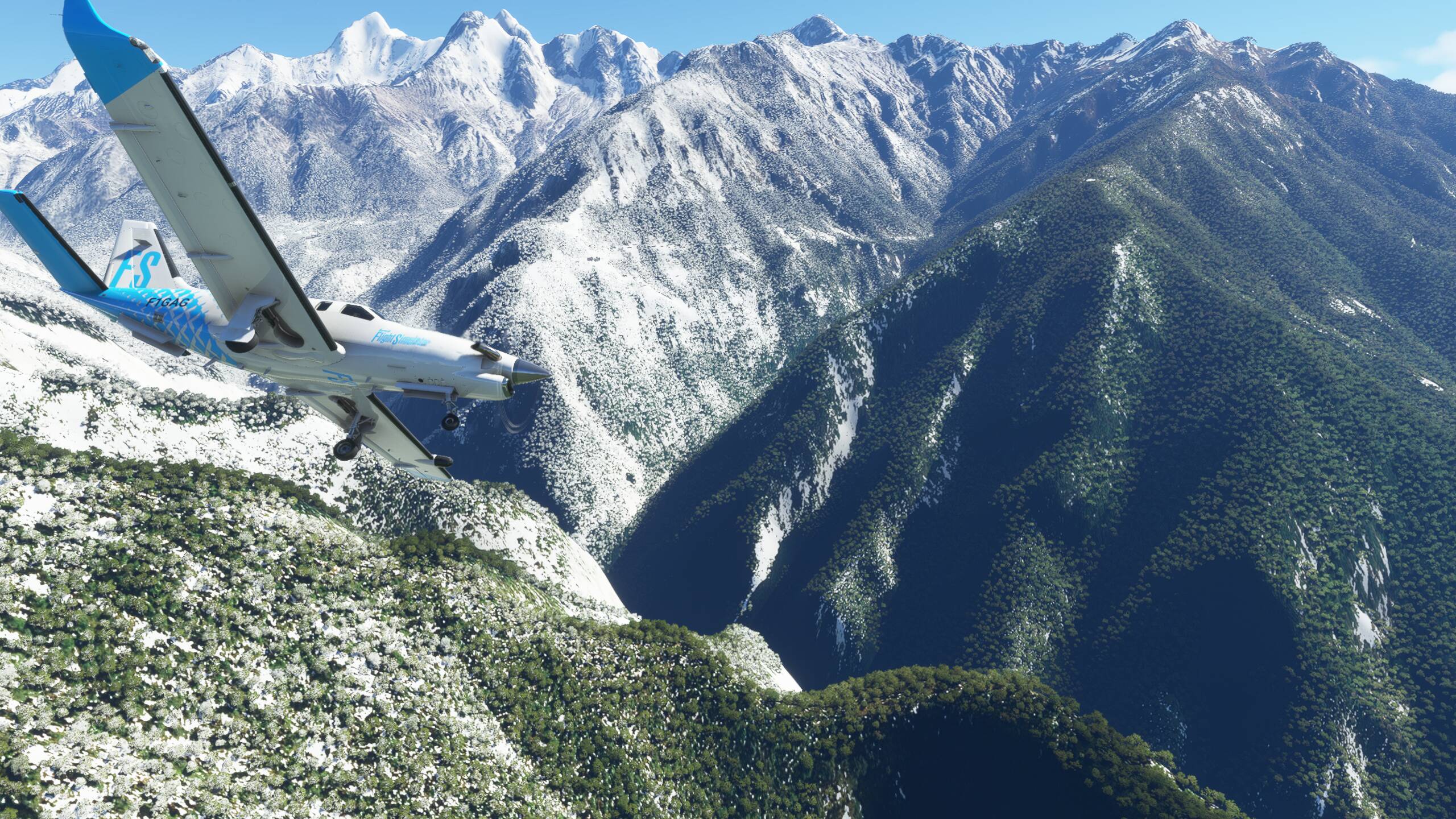
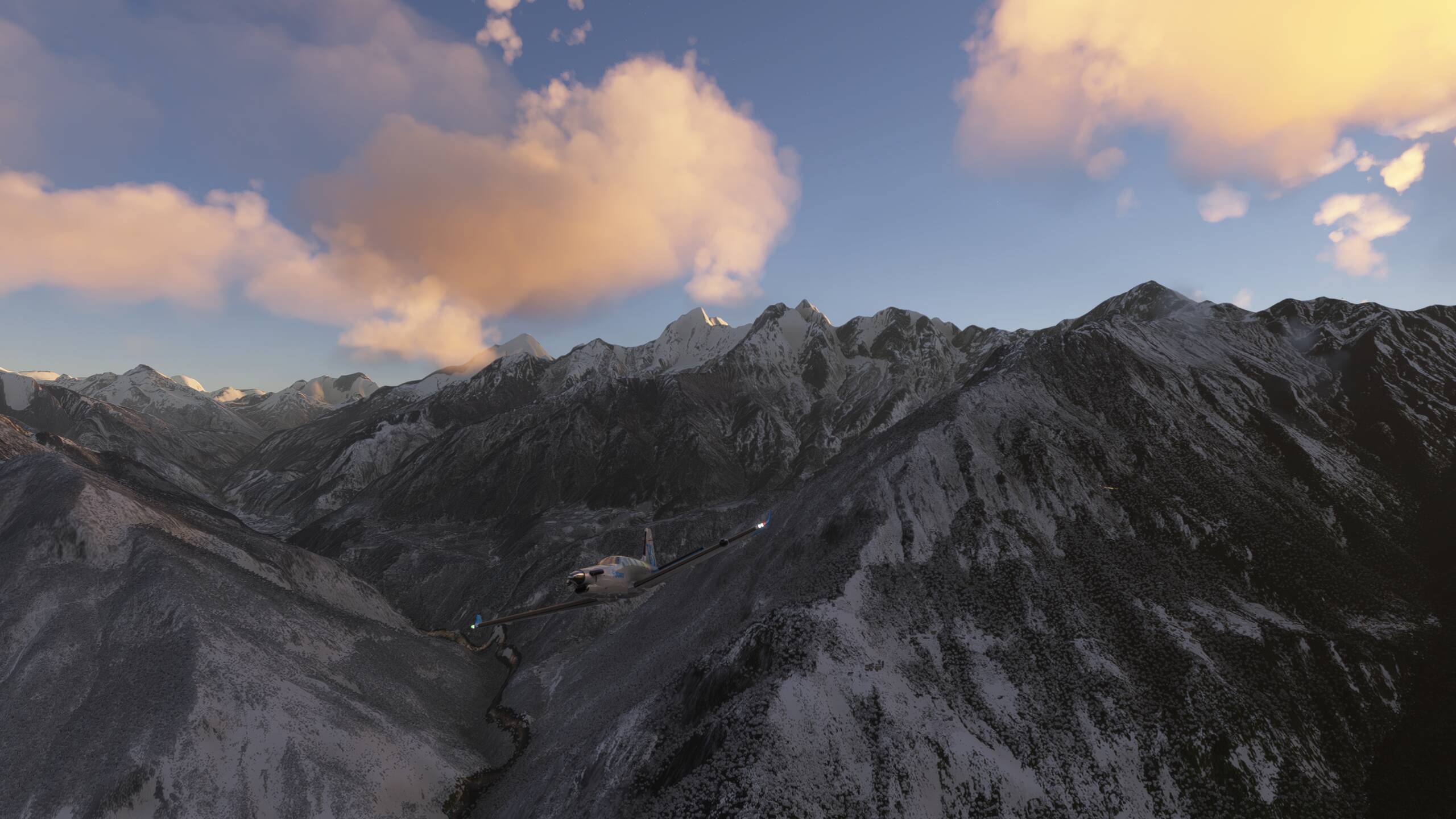
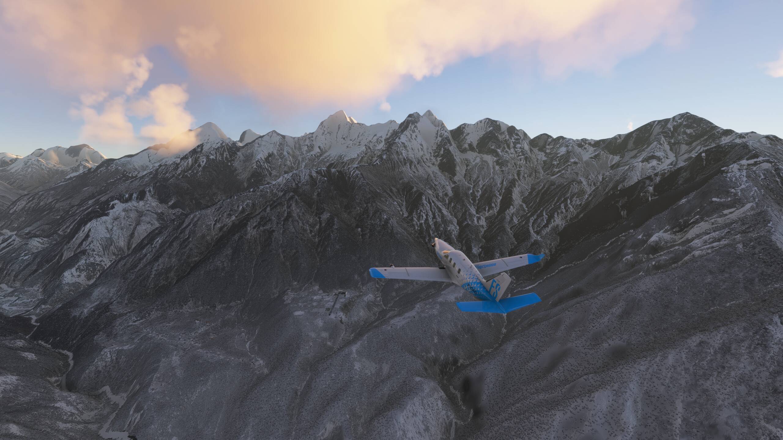
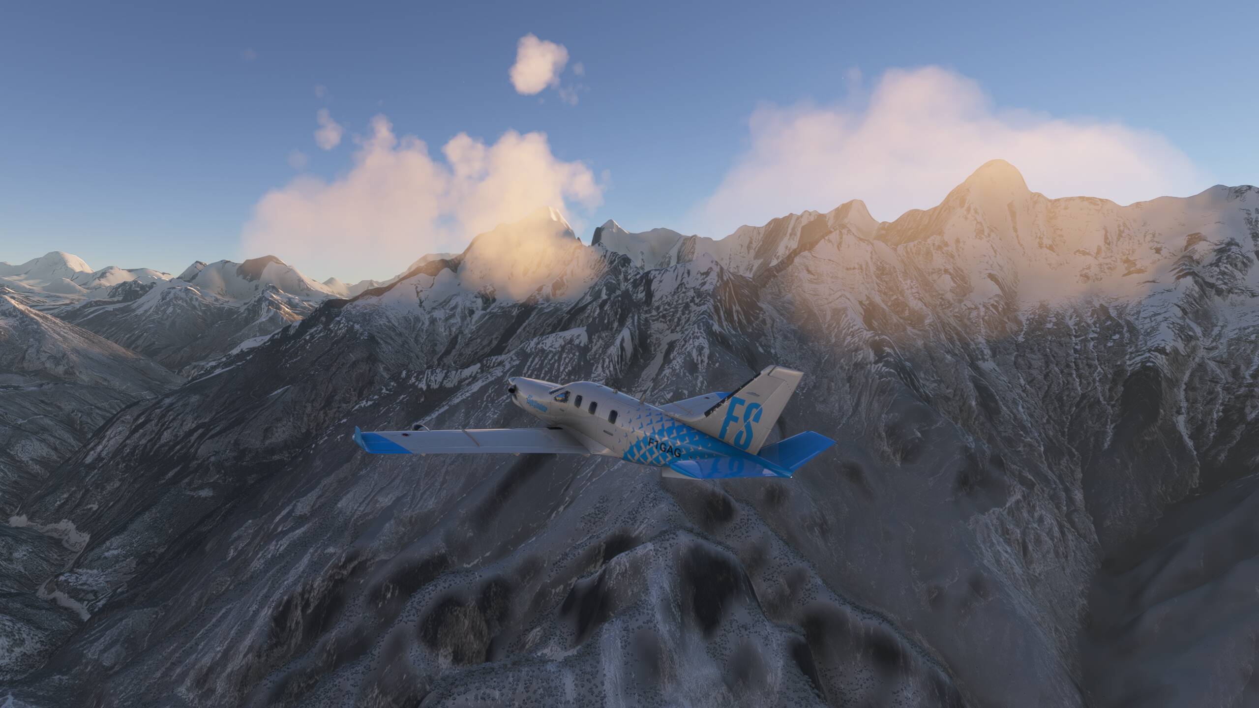
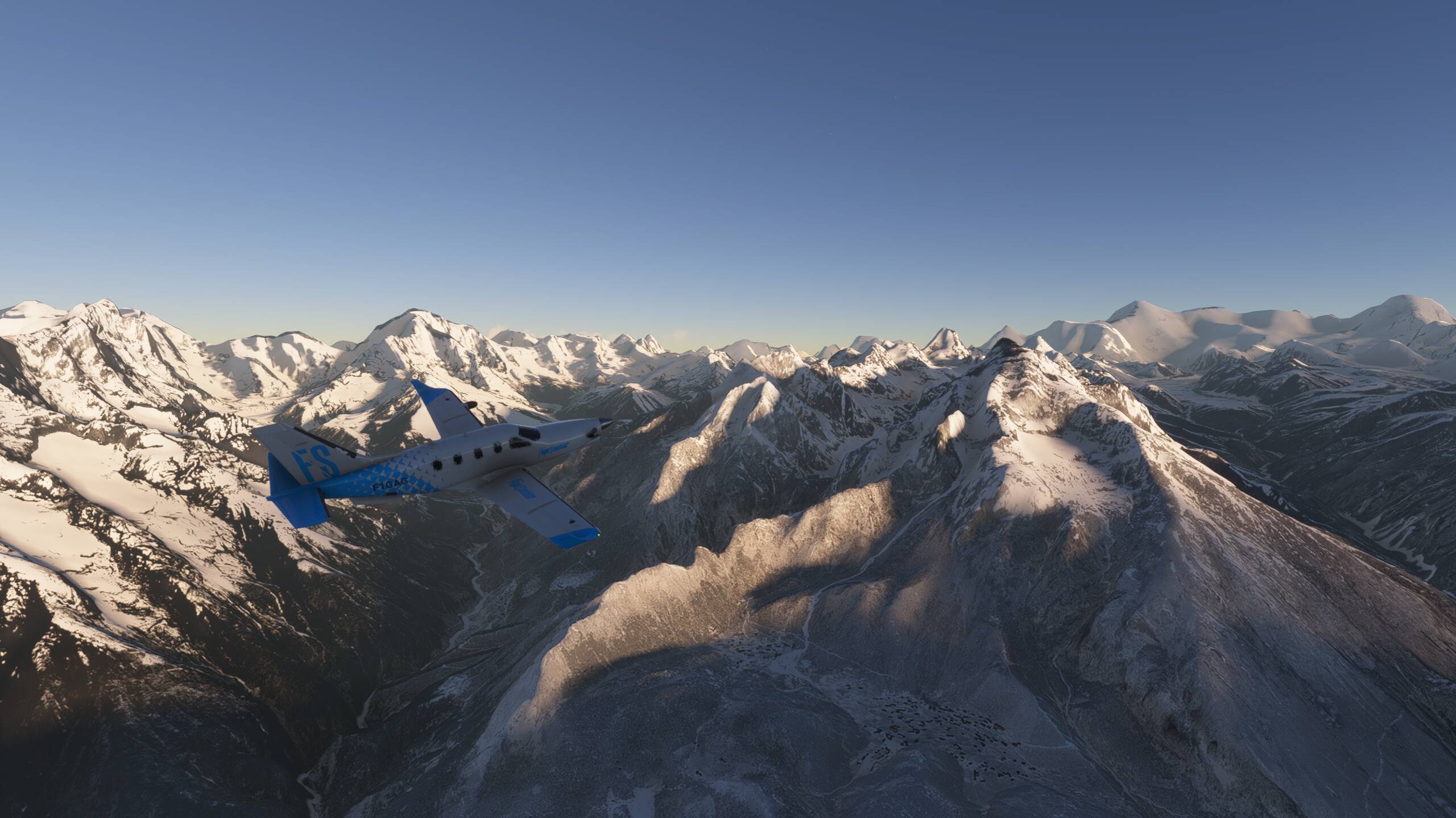
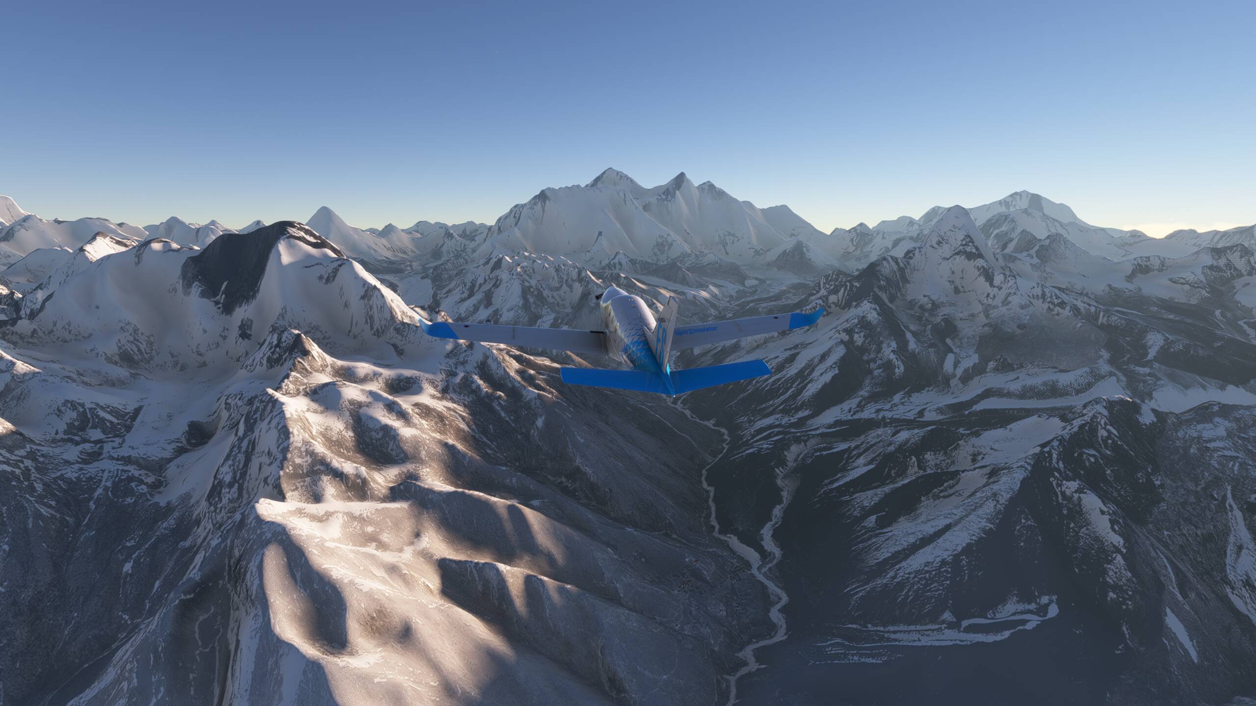
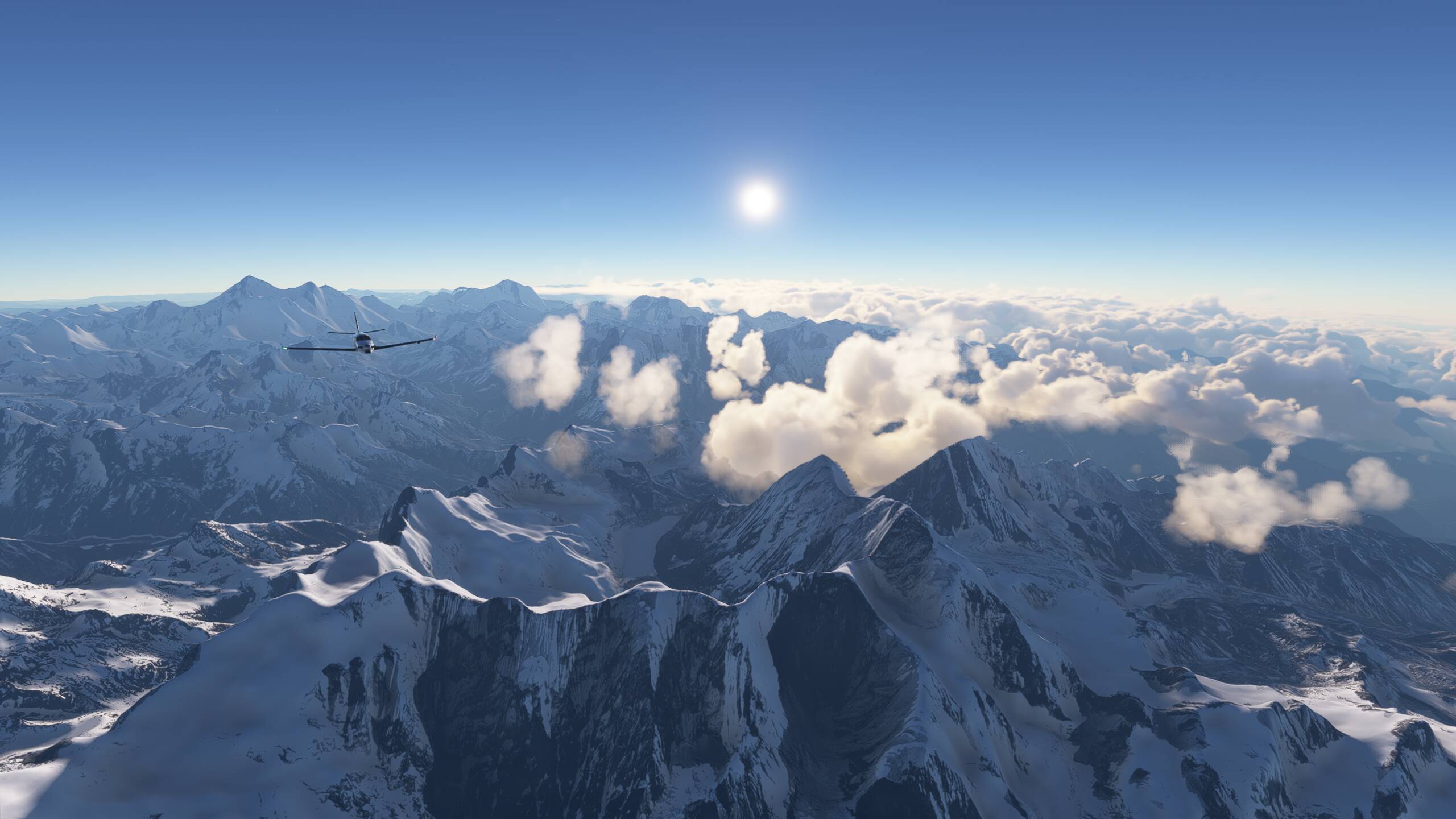
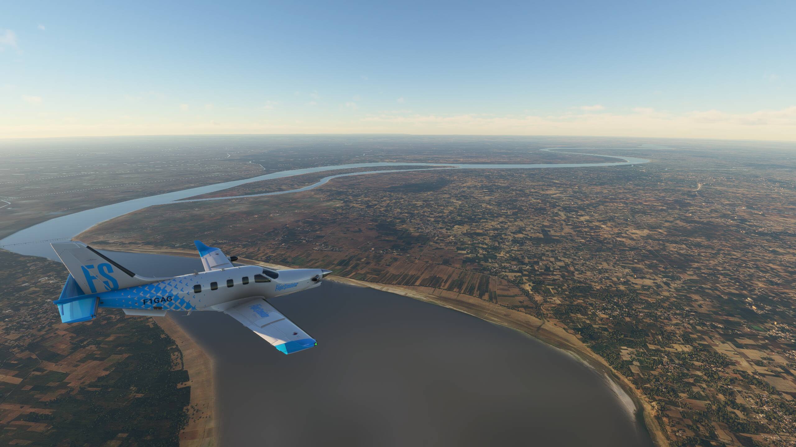
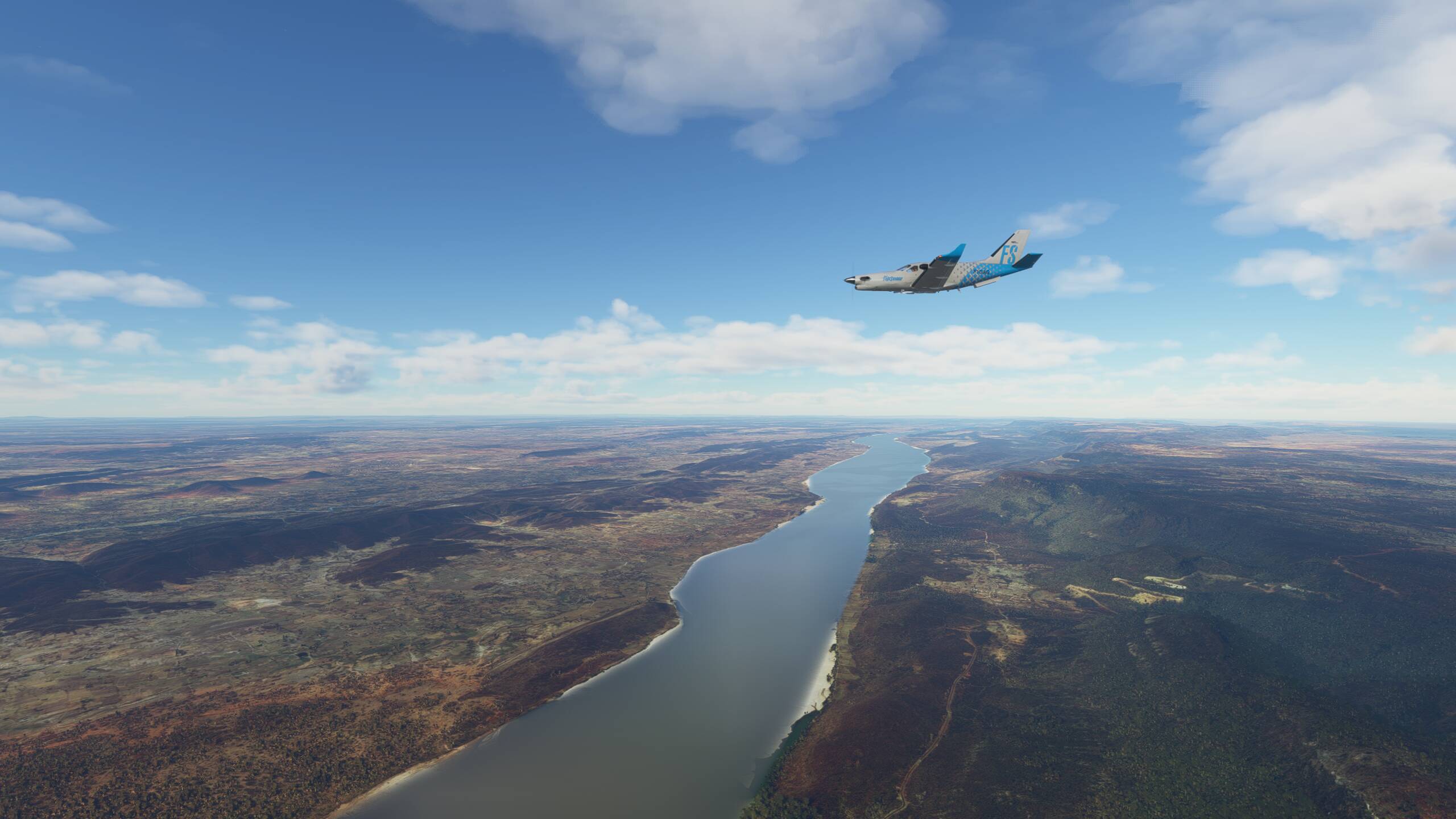
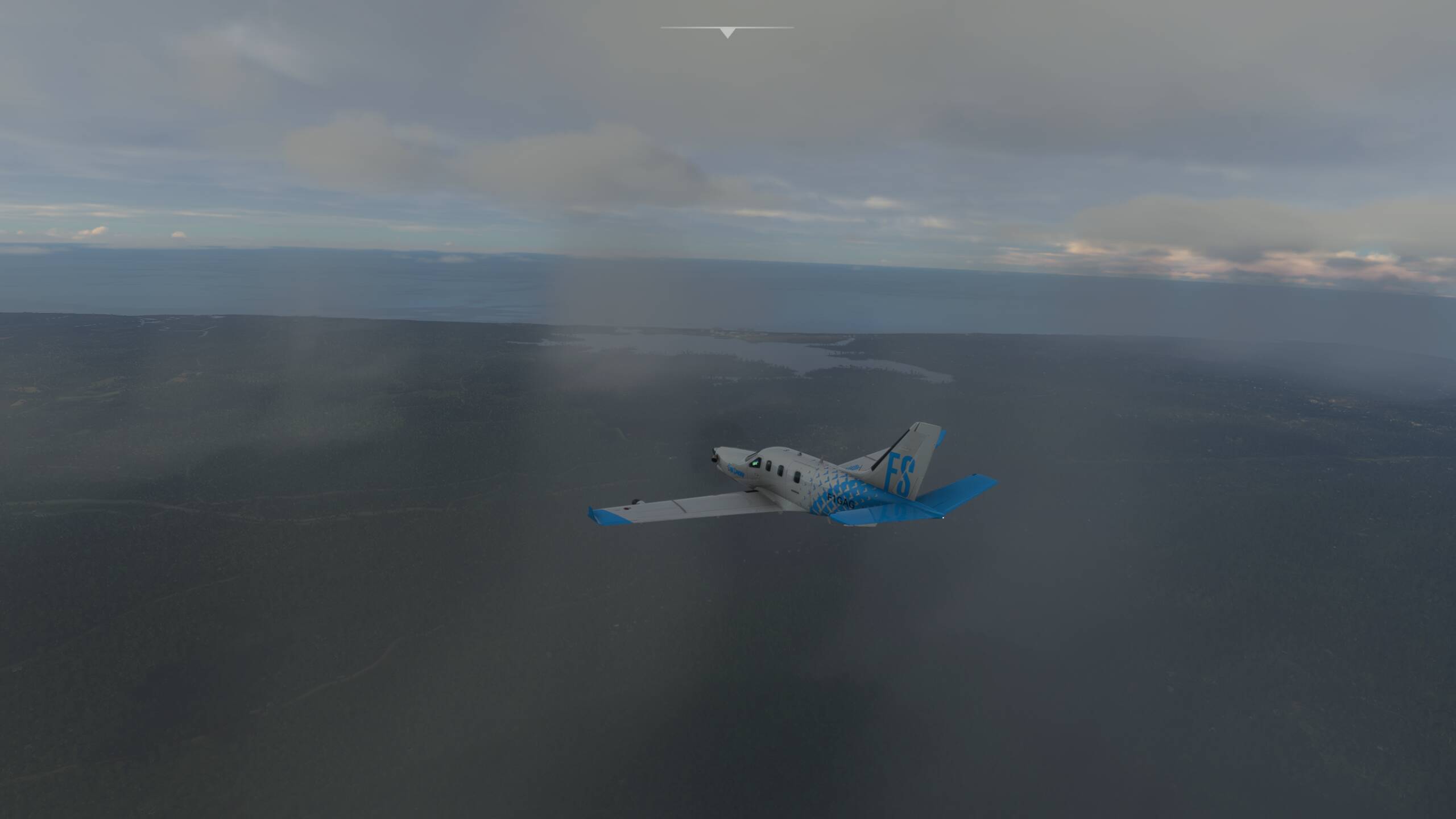
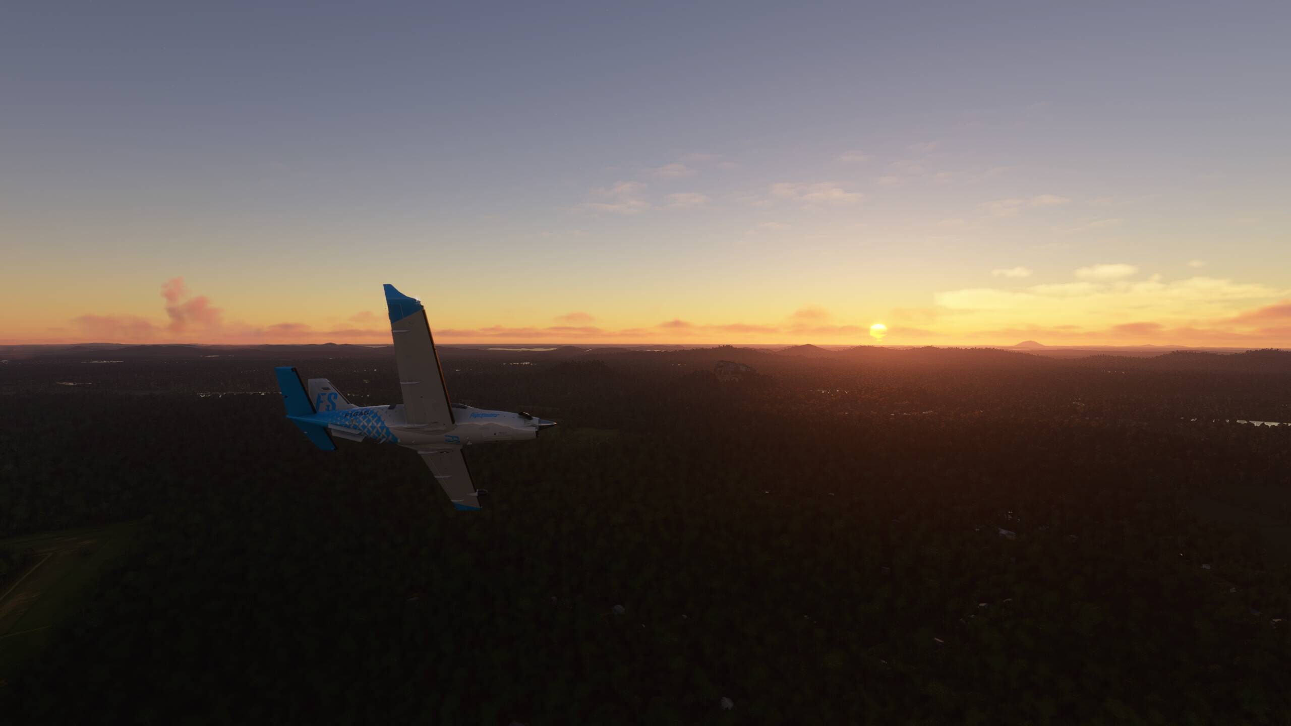
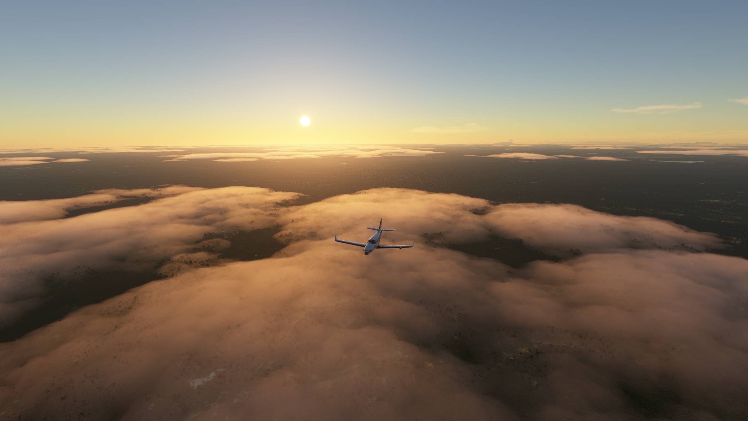
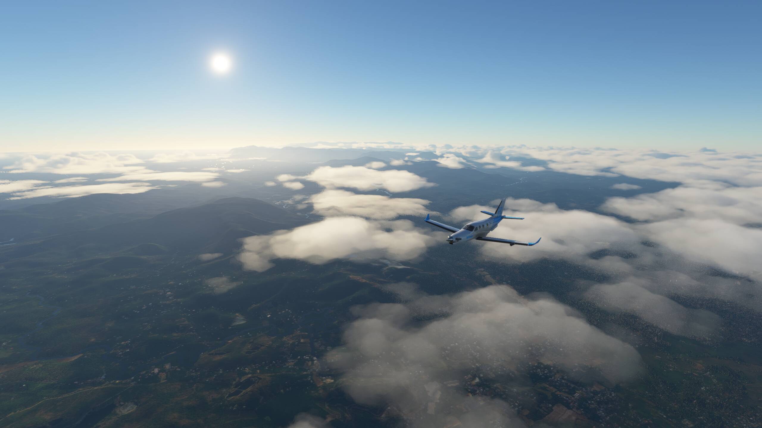
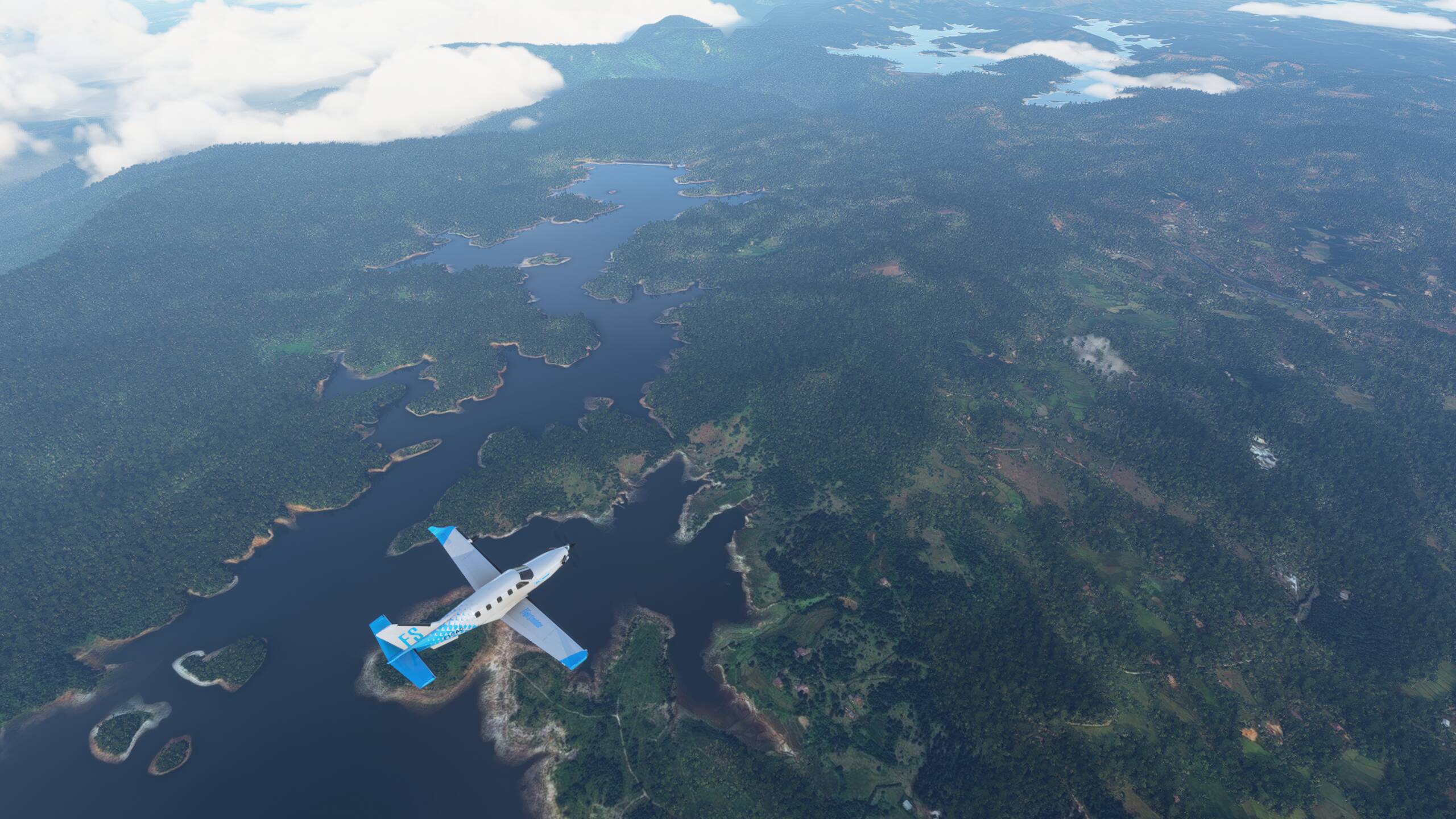
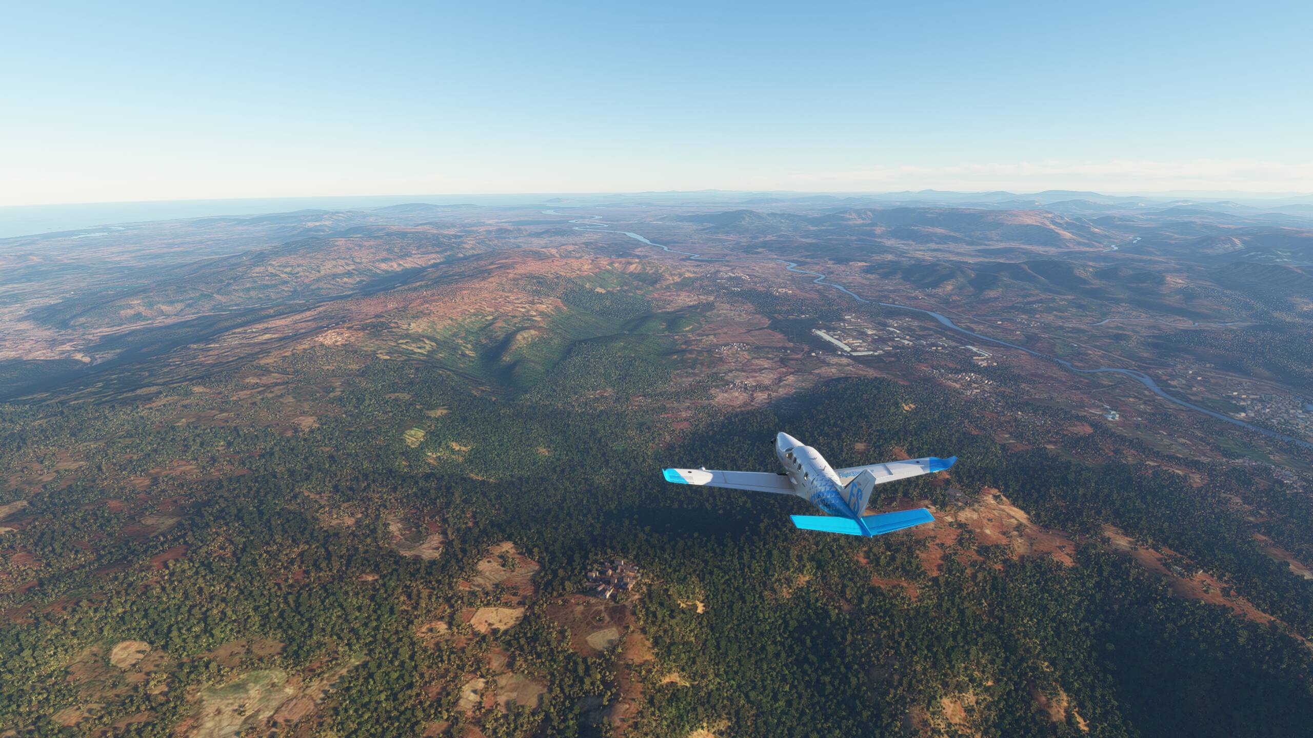
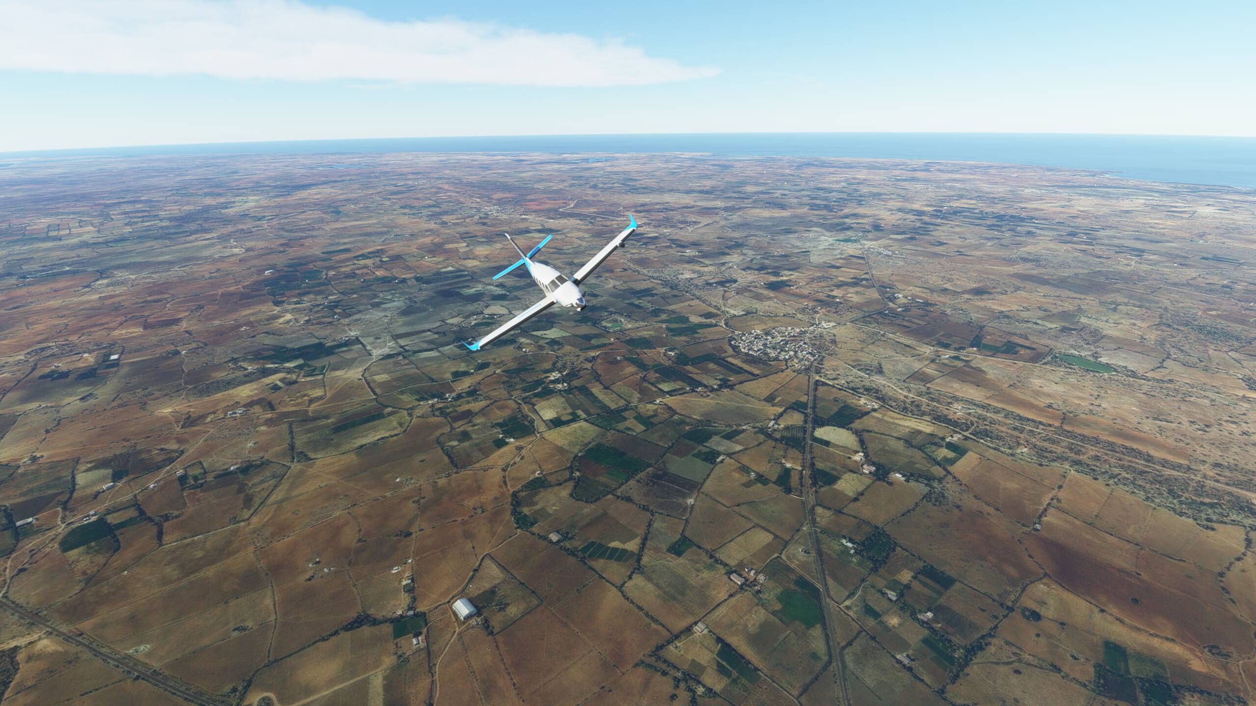
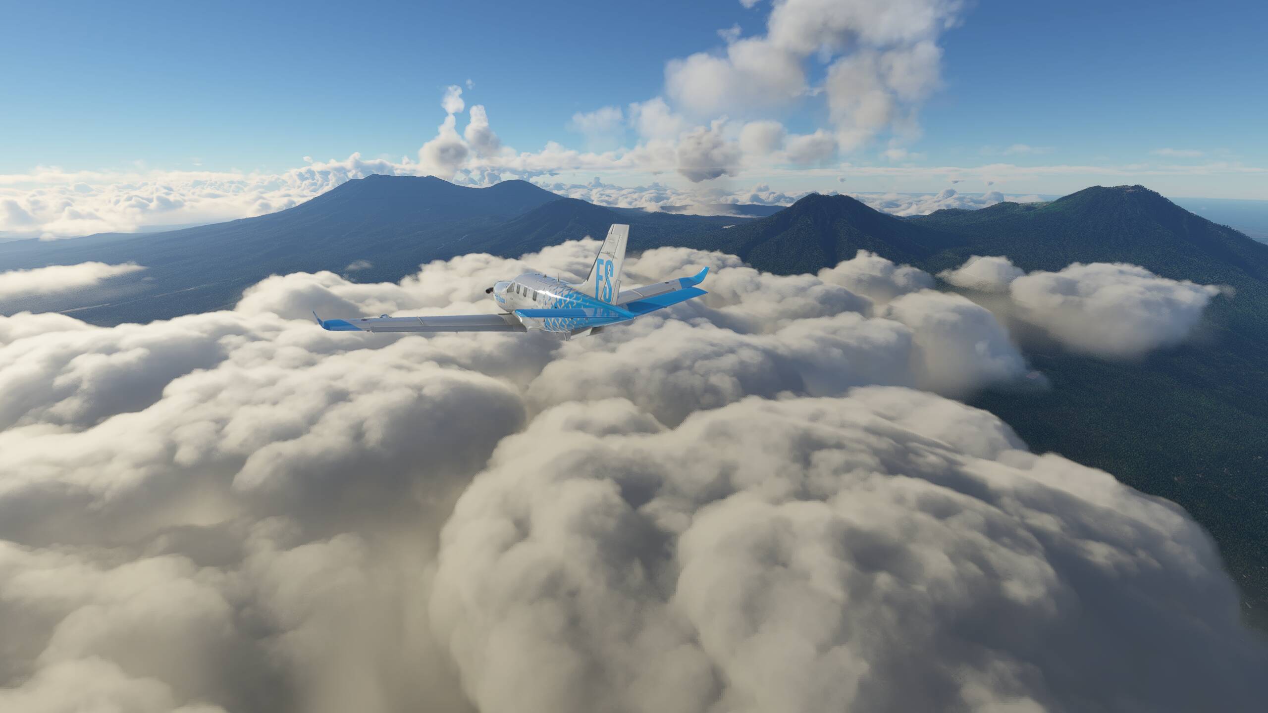
Our departure route takes us East first, over Penida Island before the turn North and then circle around to the West. Gunung Agung to our right - about 10,000ft high


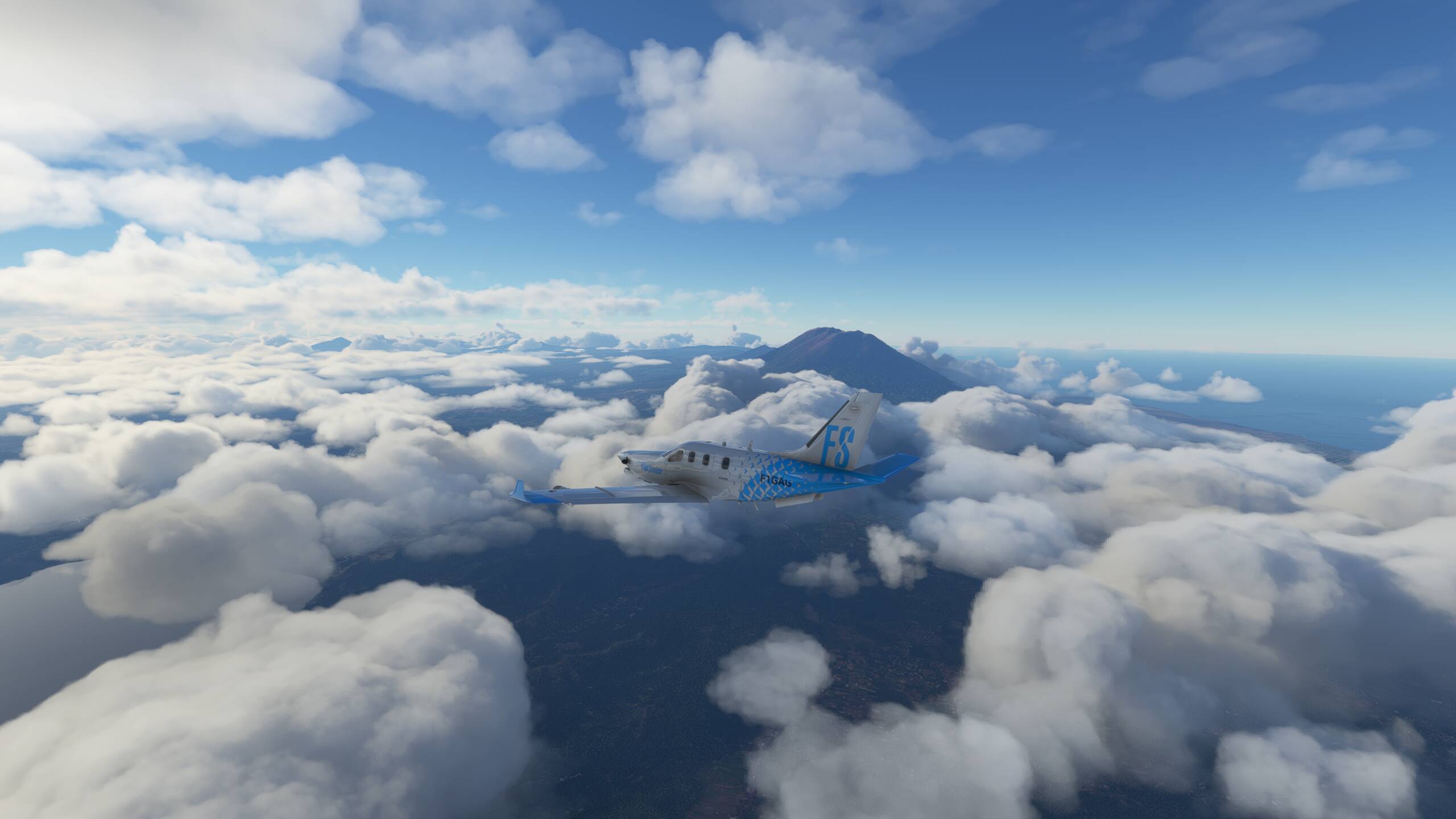
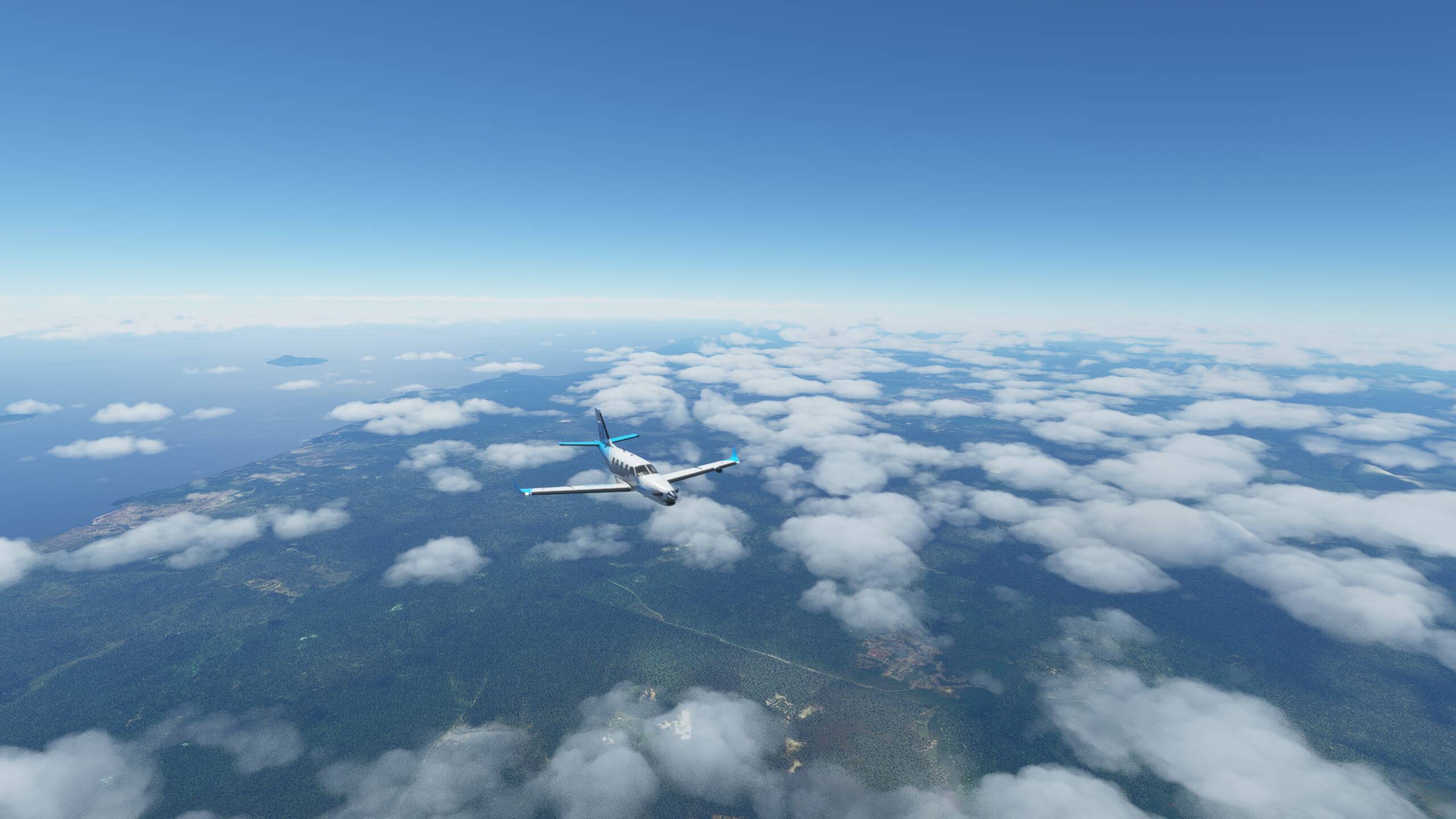
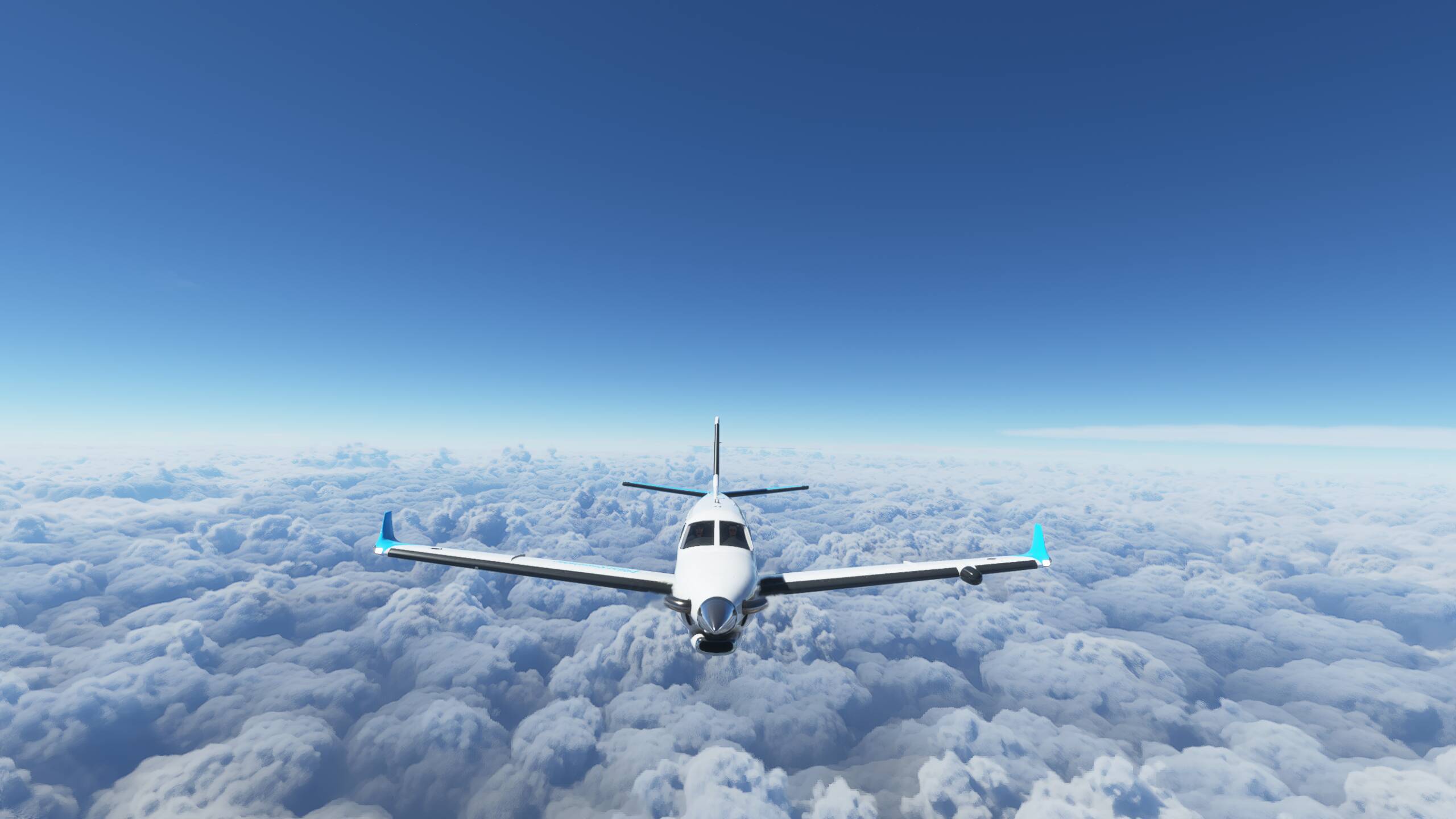
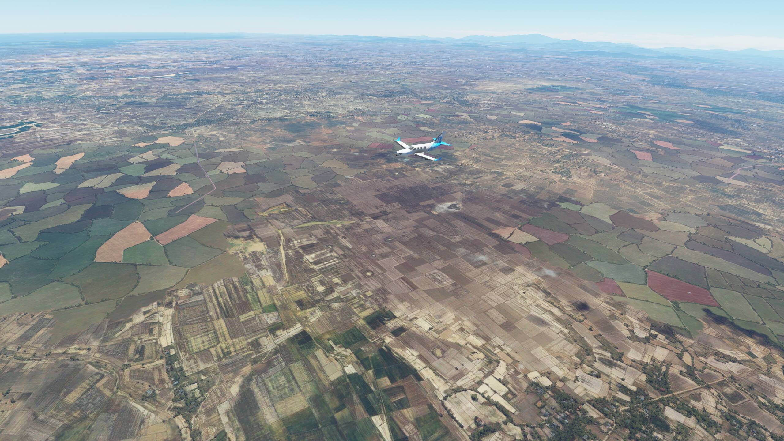
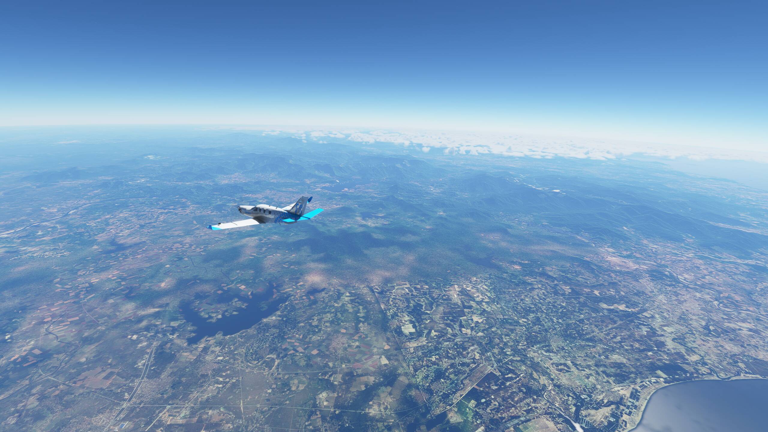
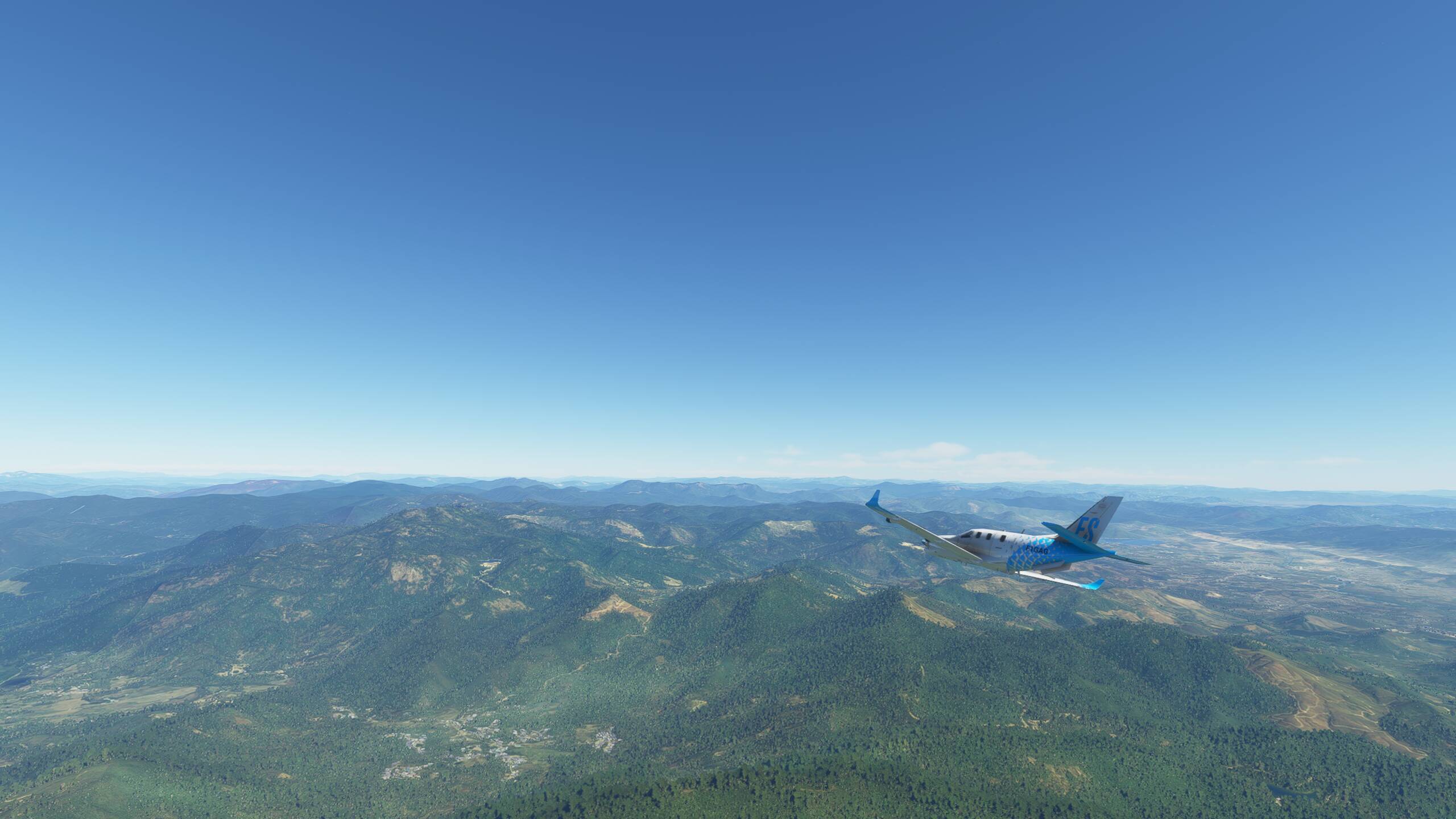
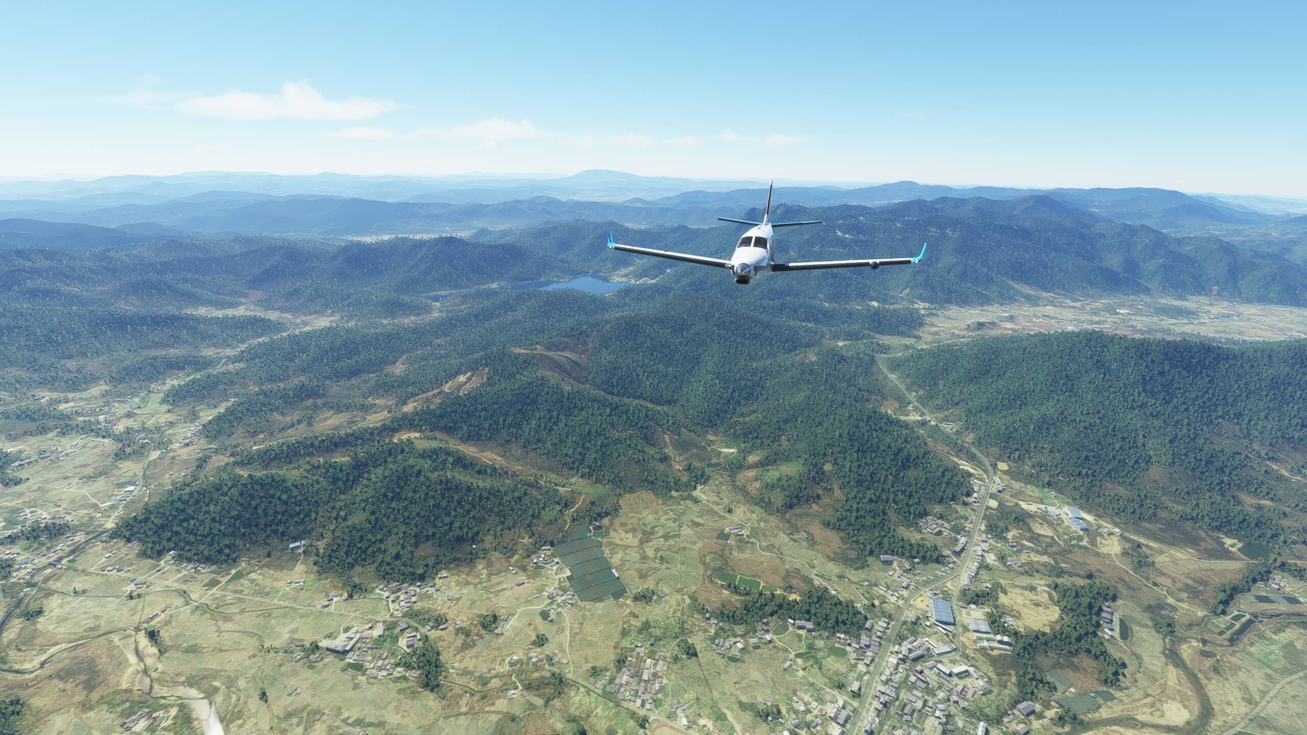
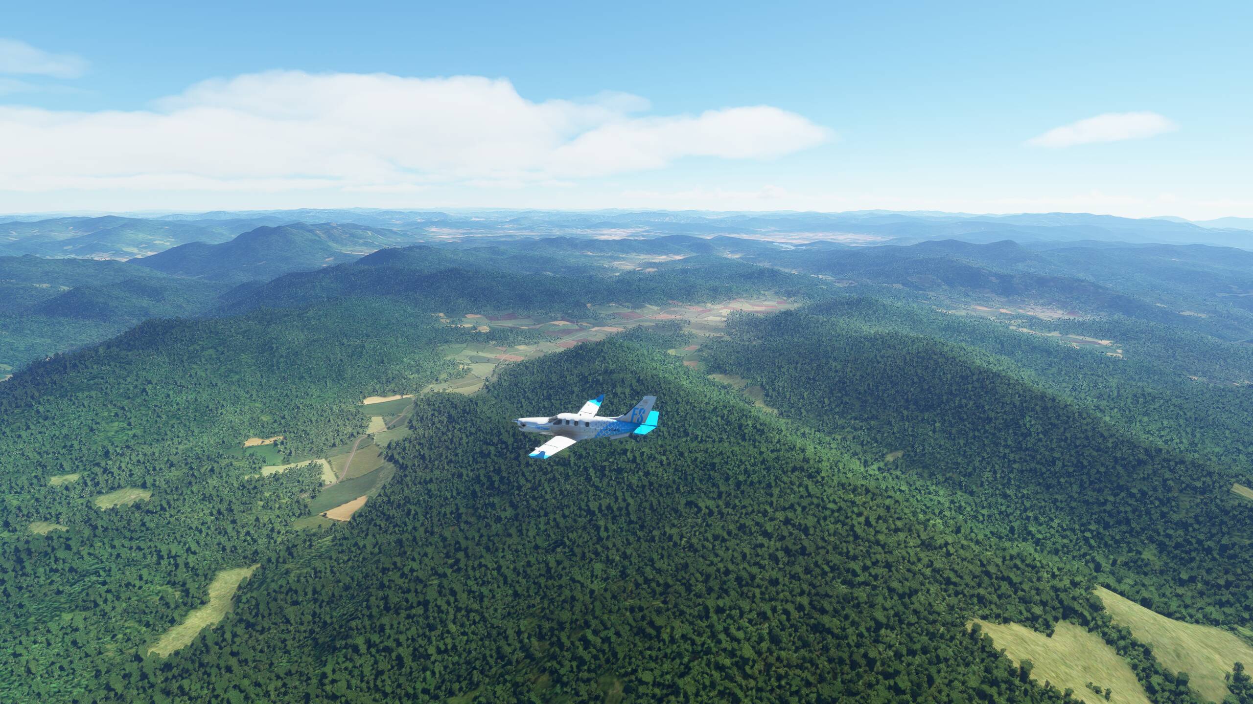
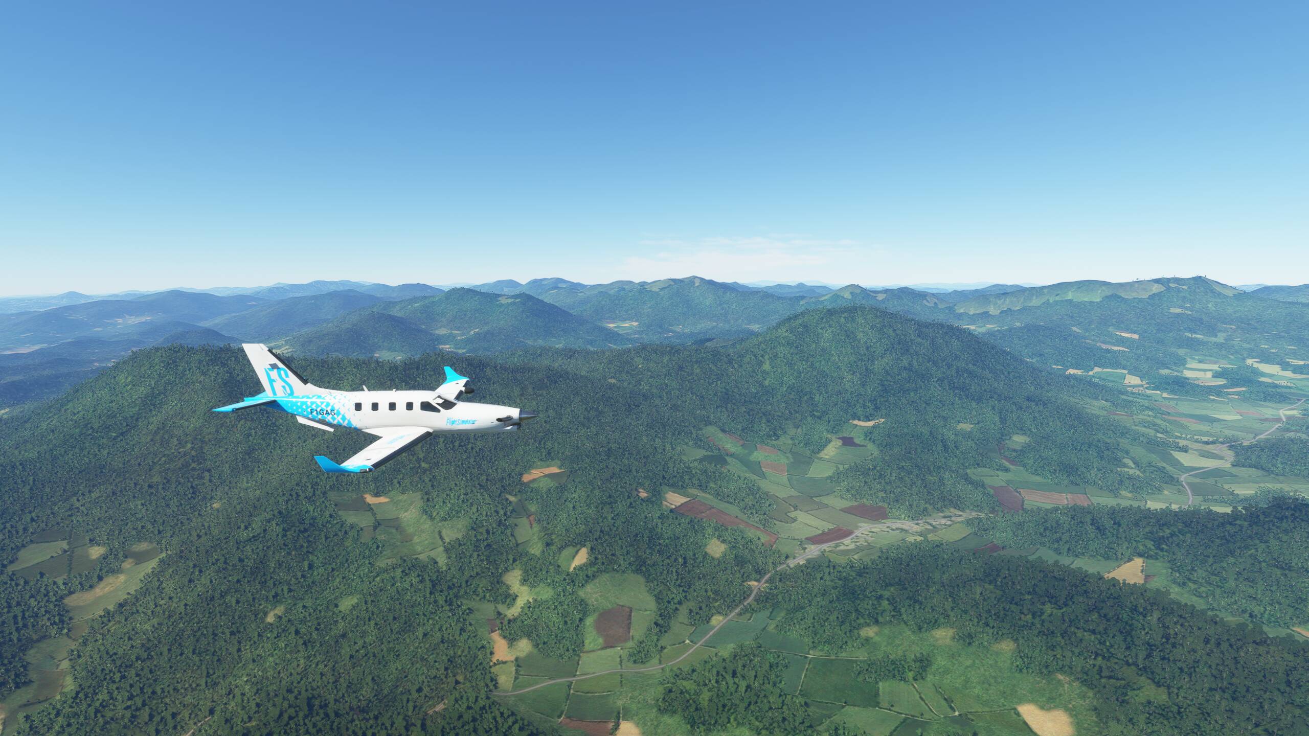
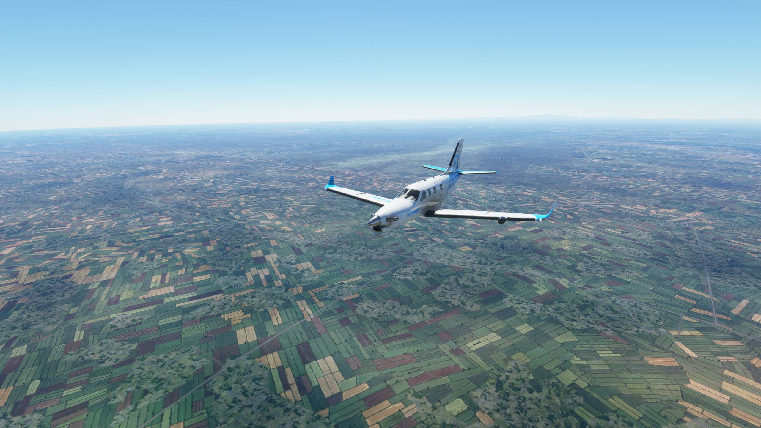
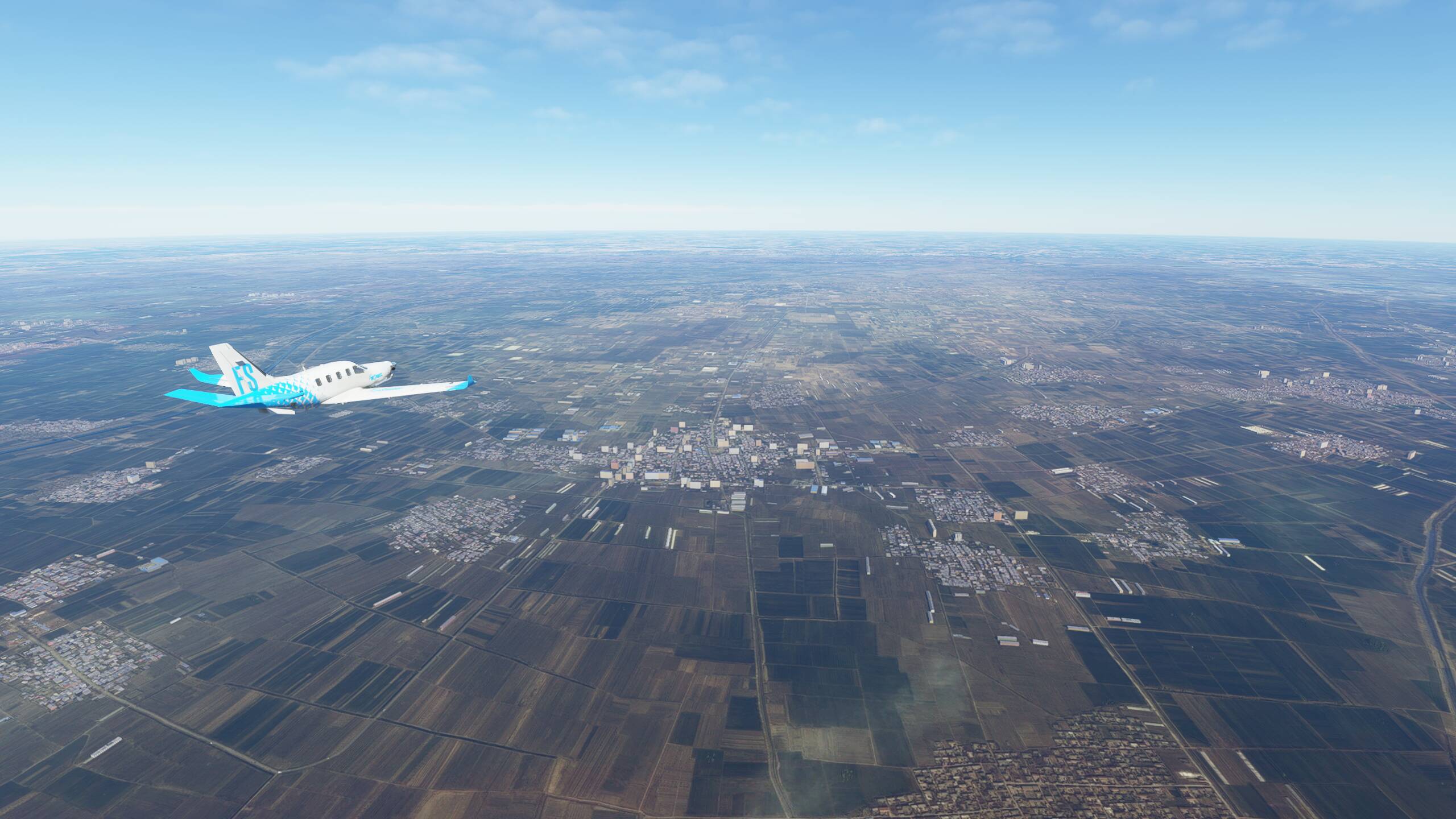
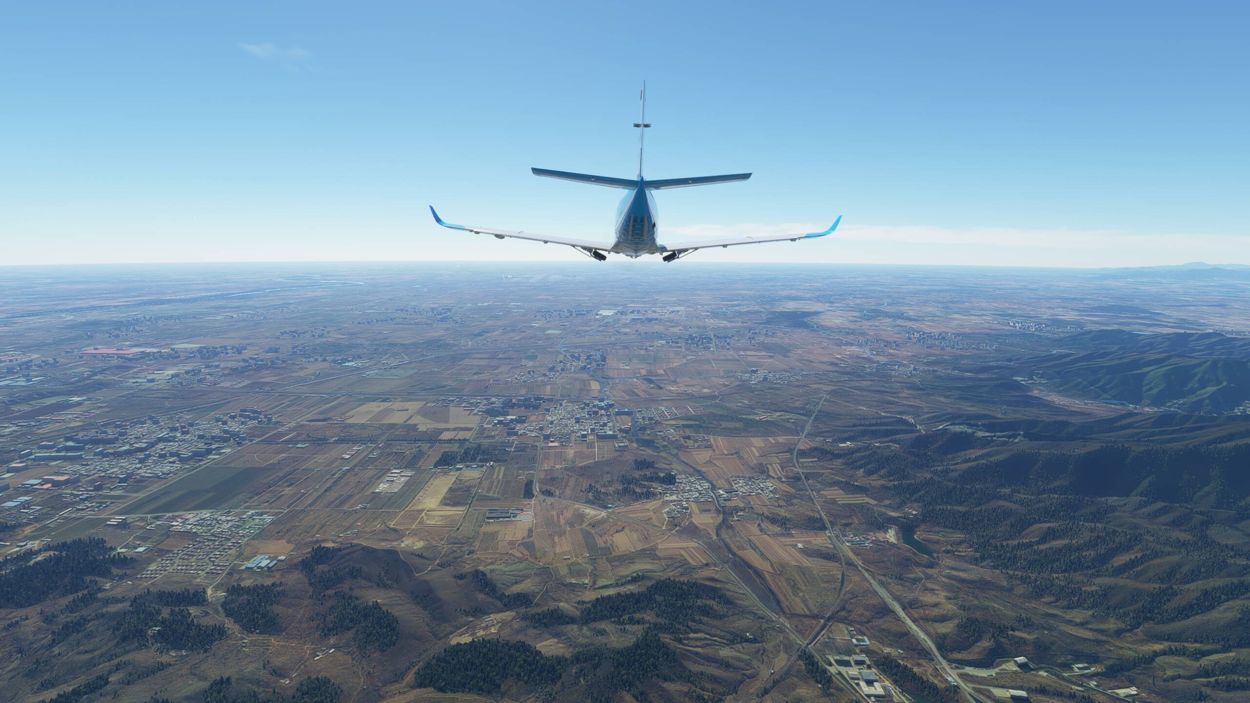
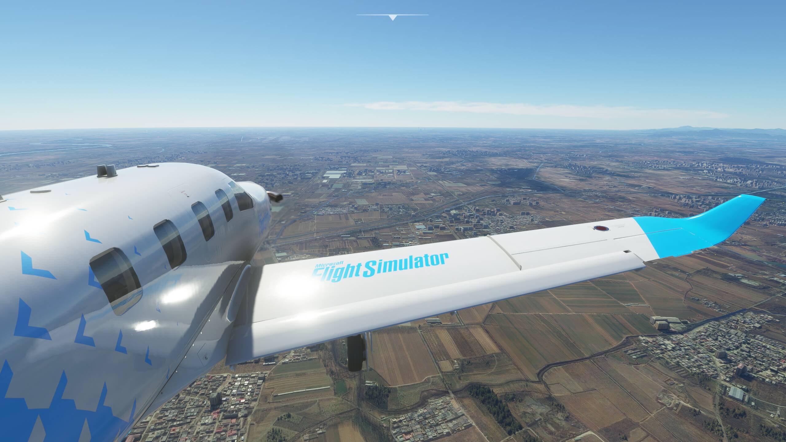
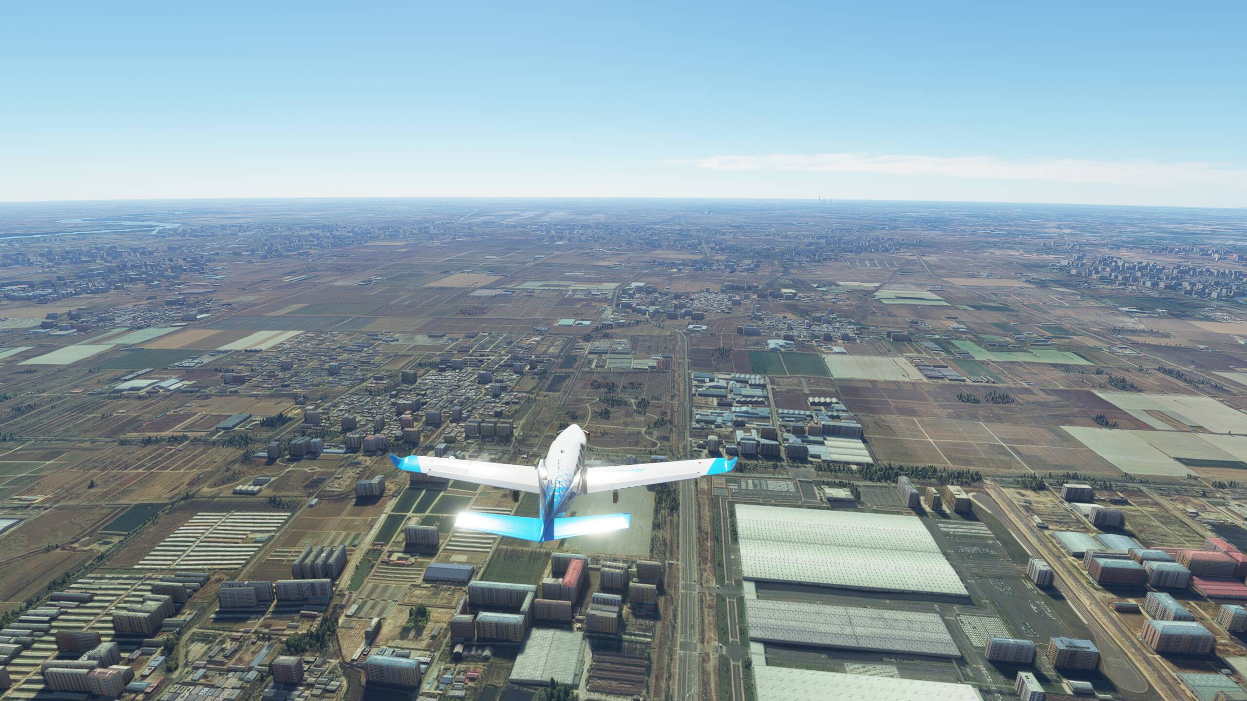
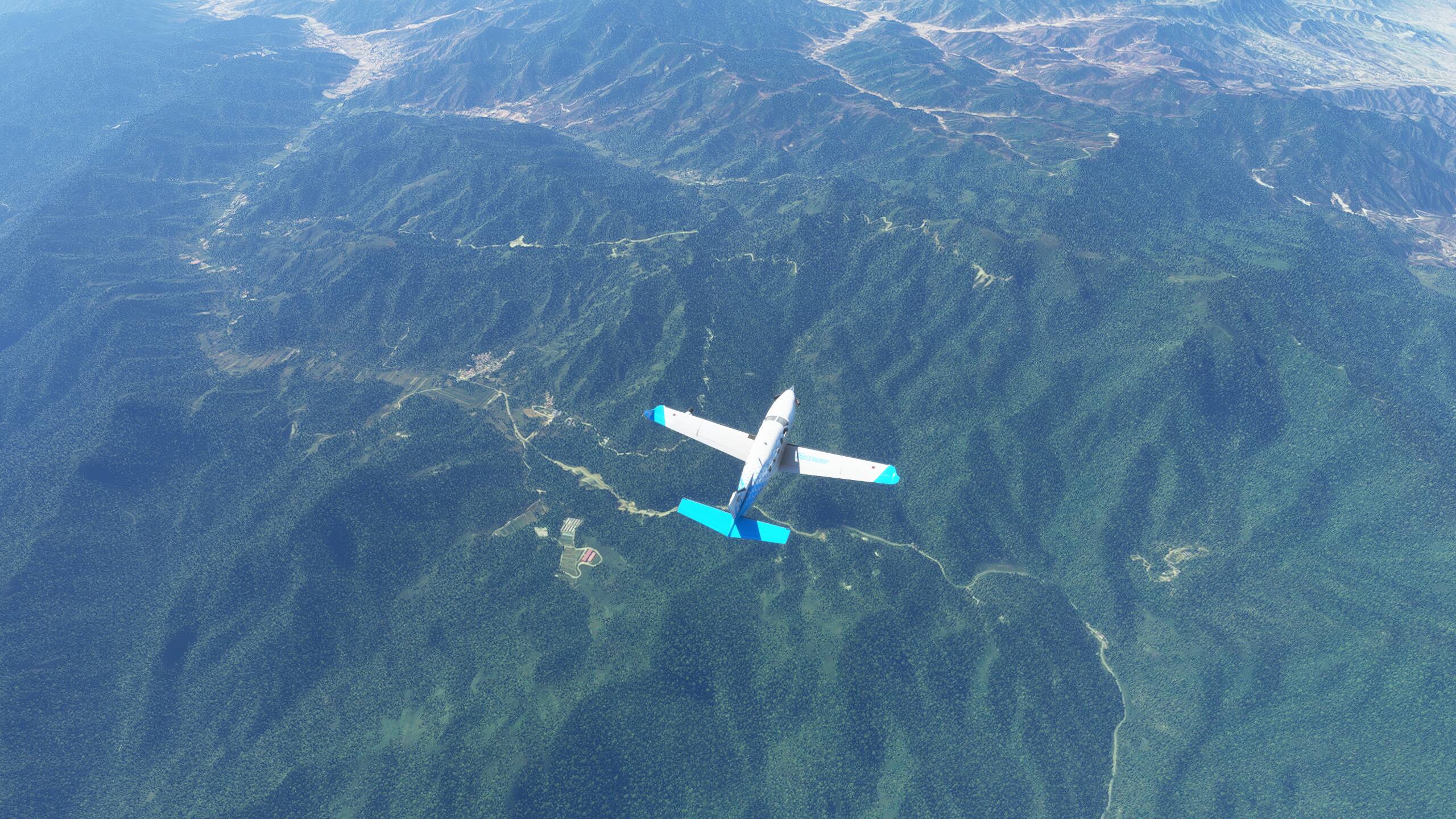
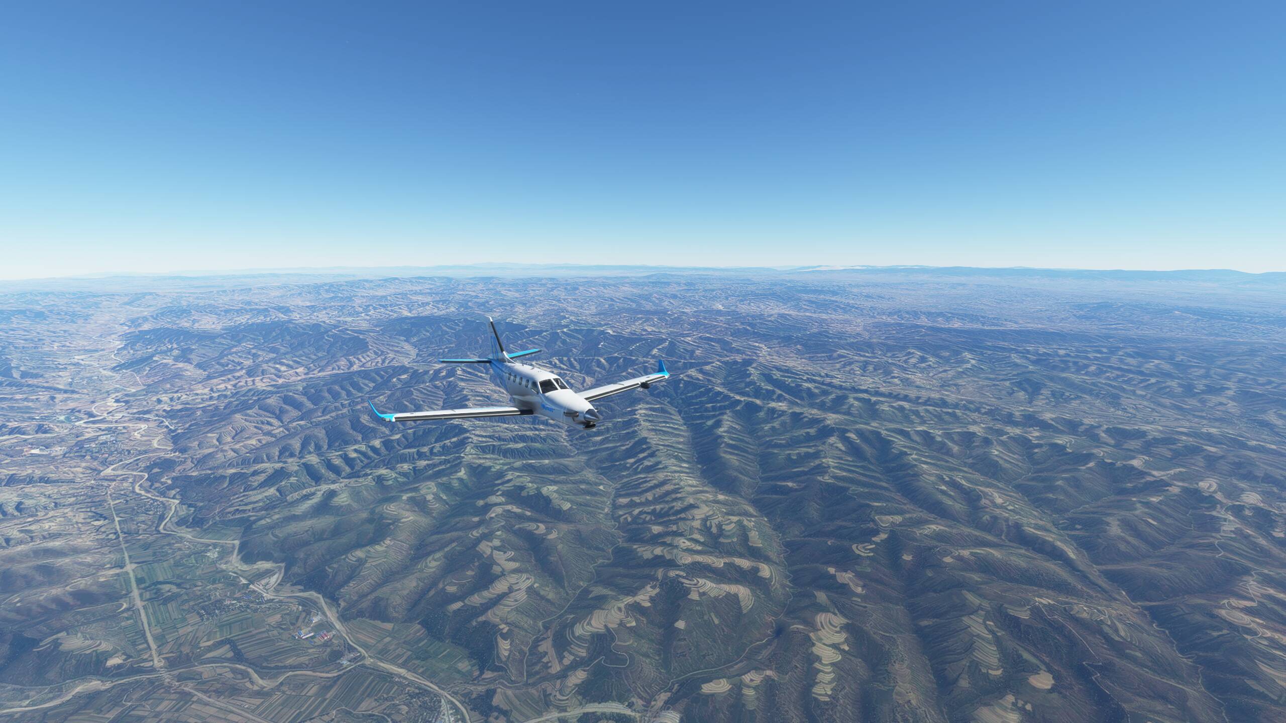
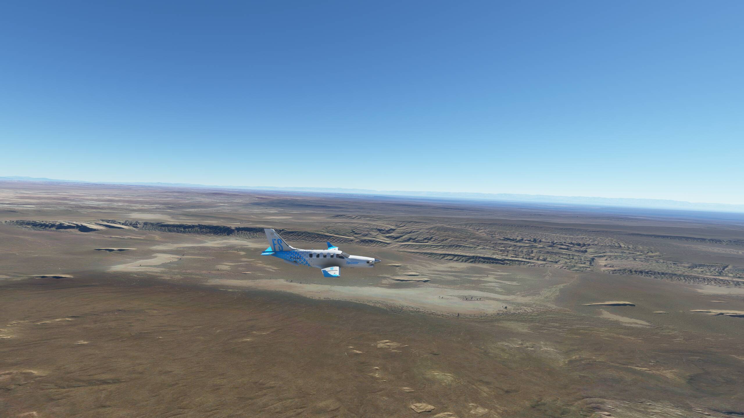
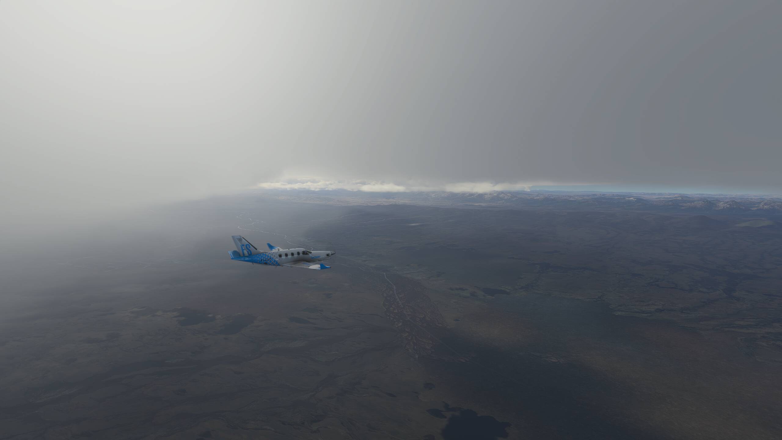
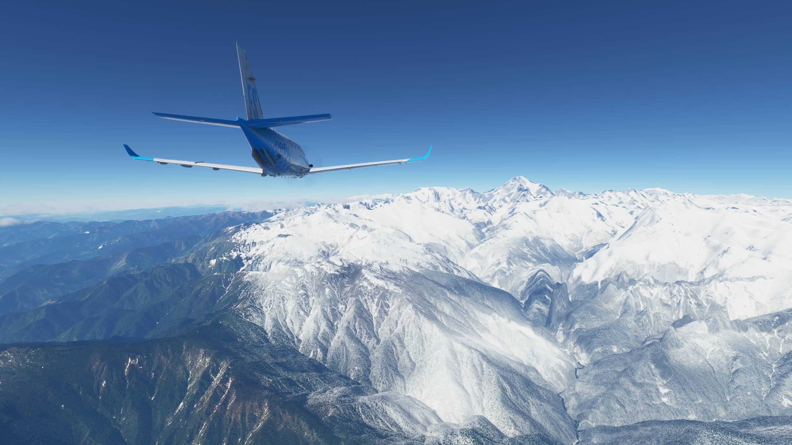
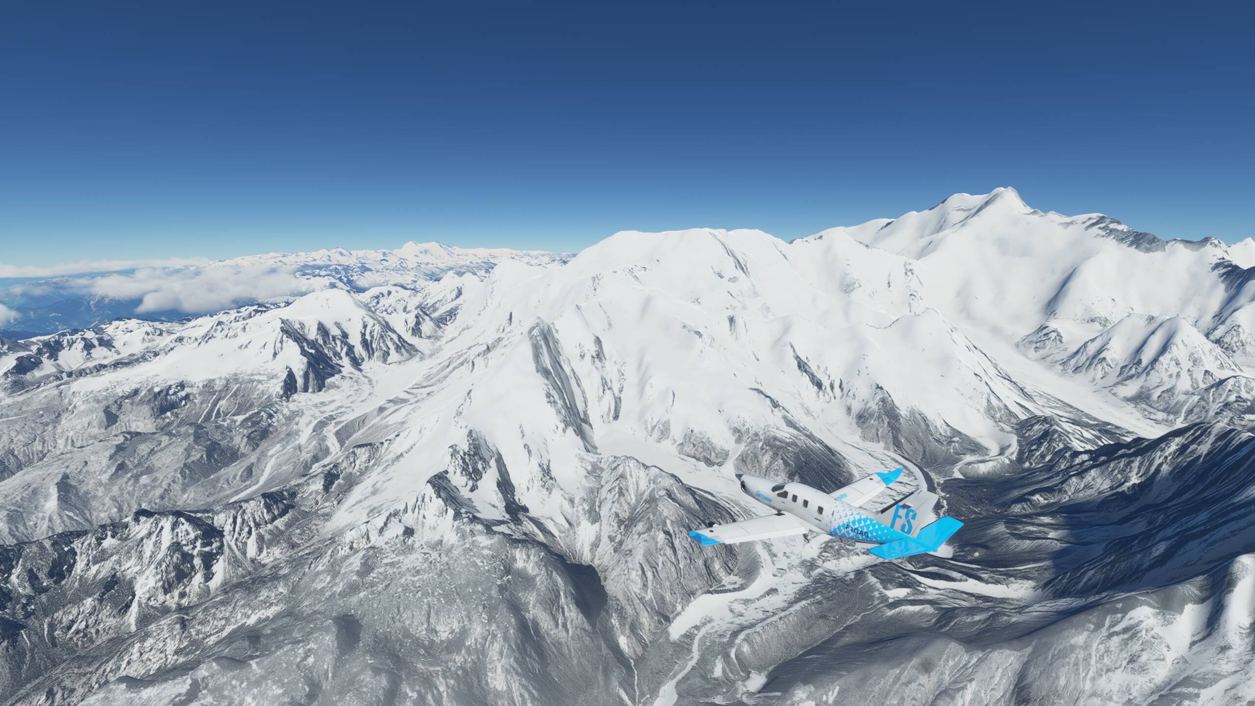
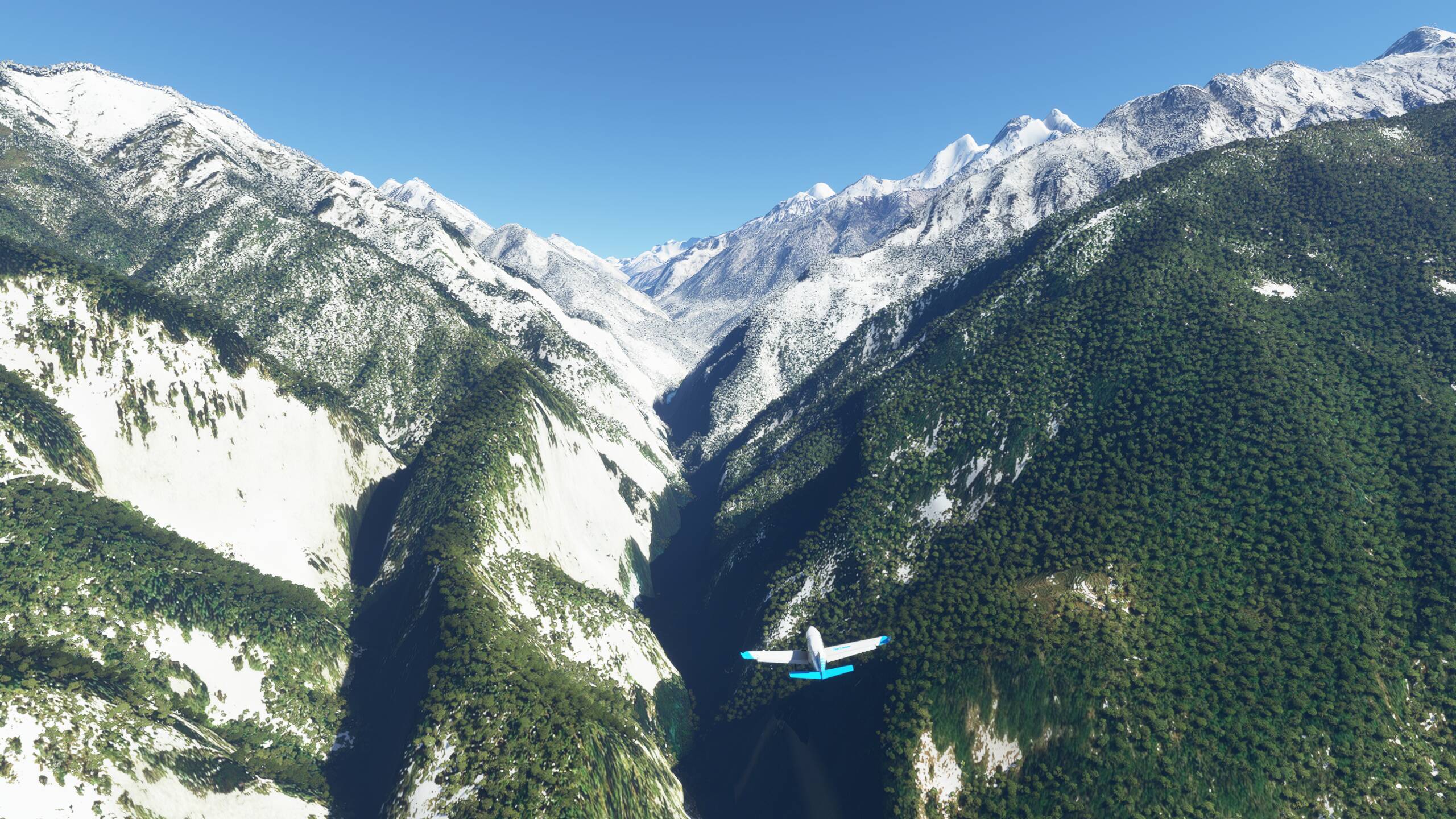
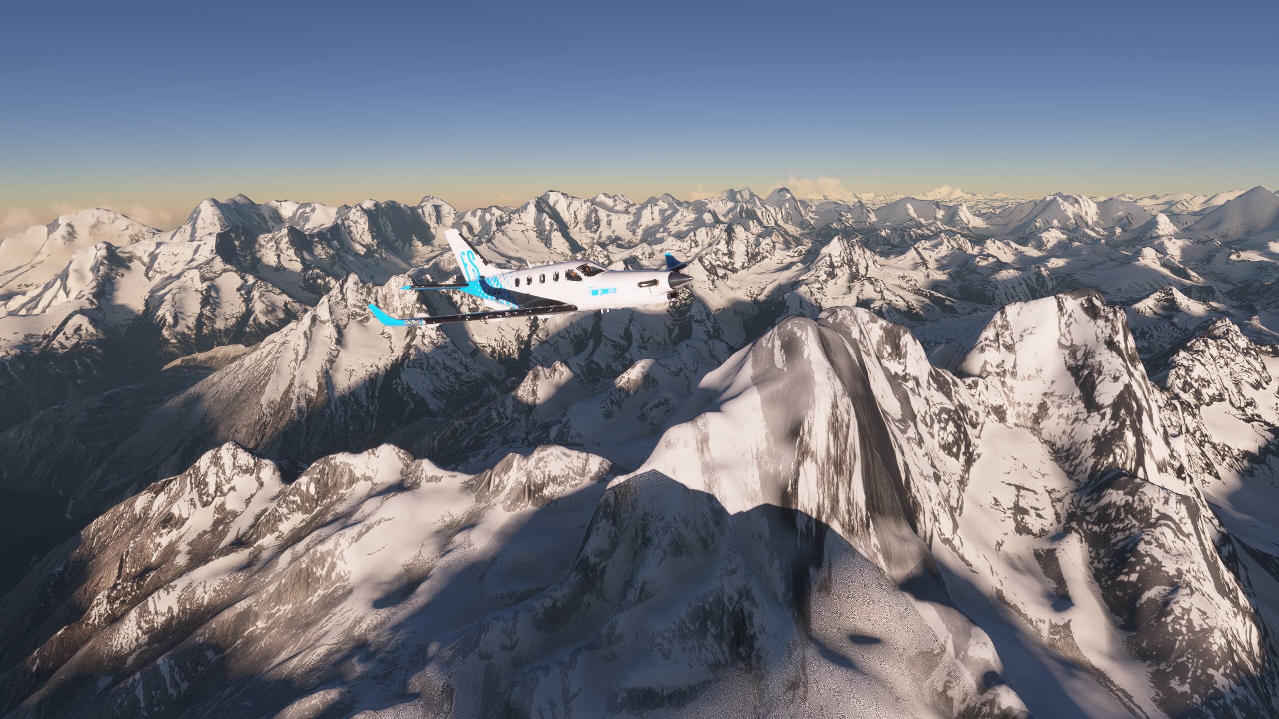
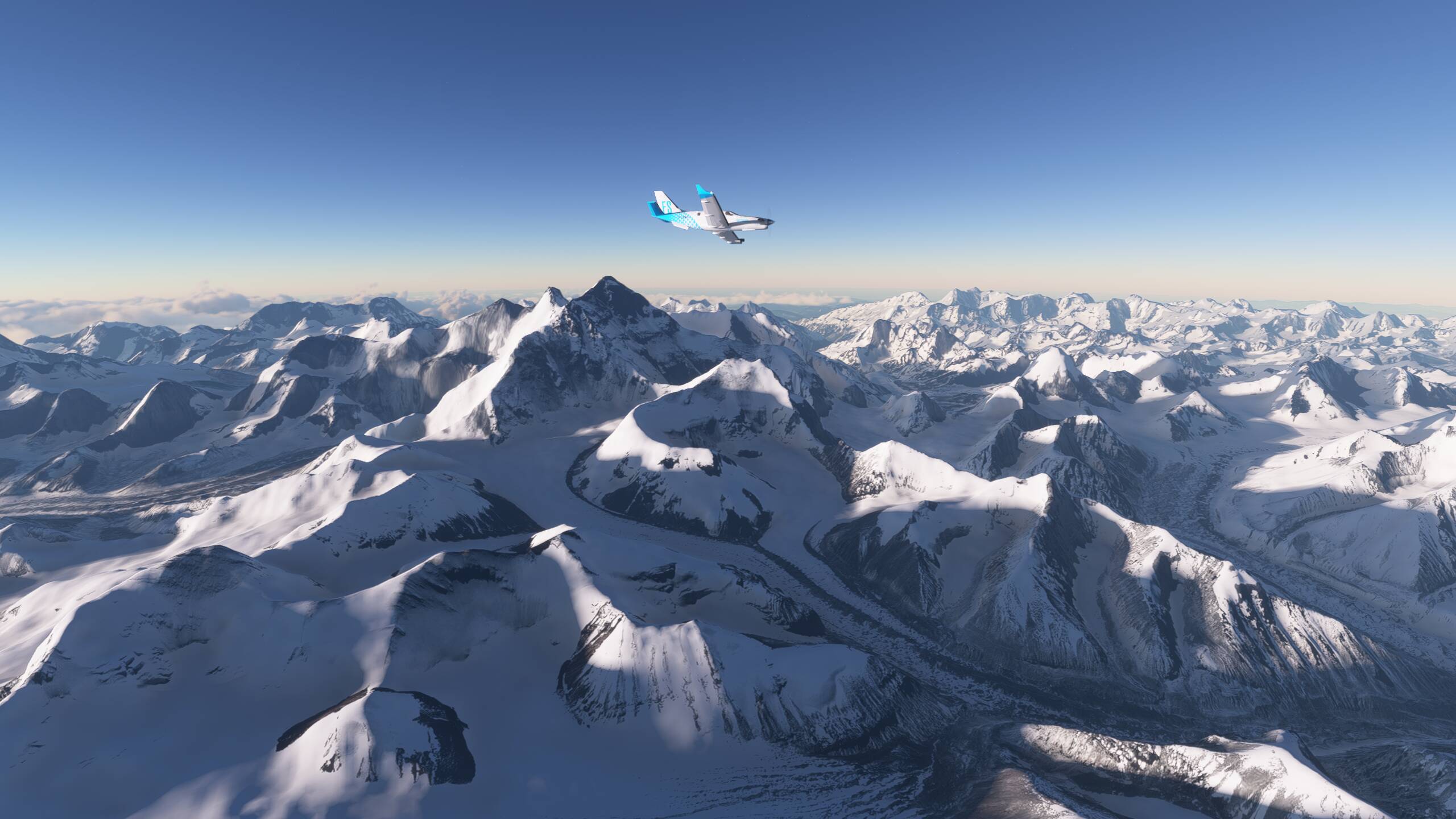
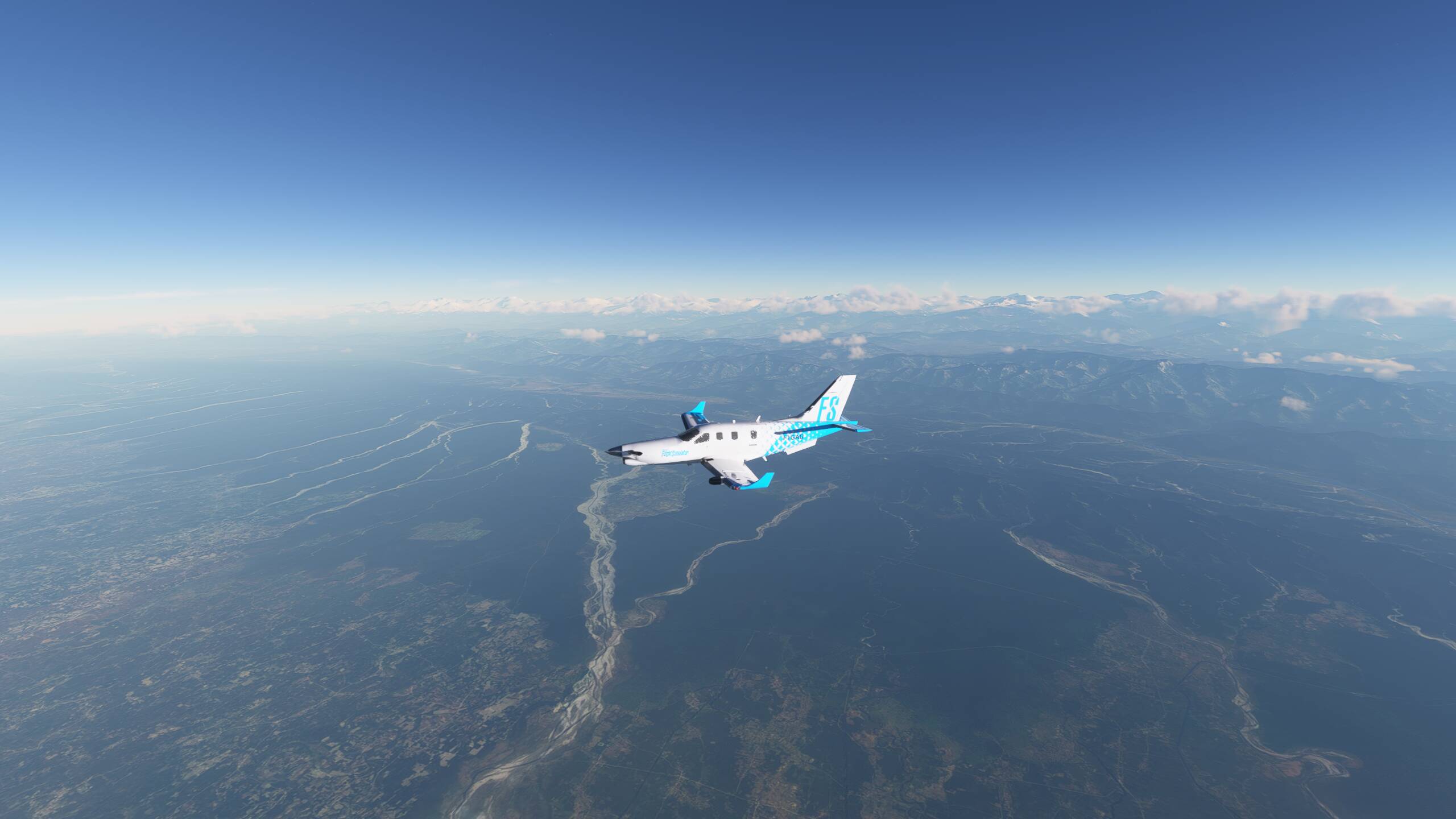
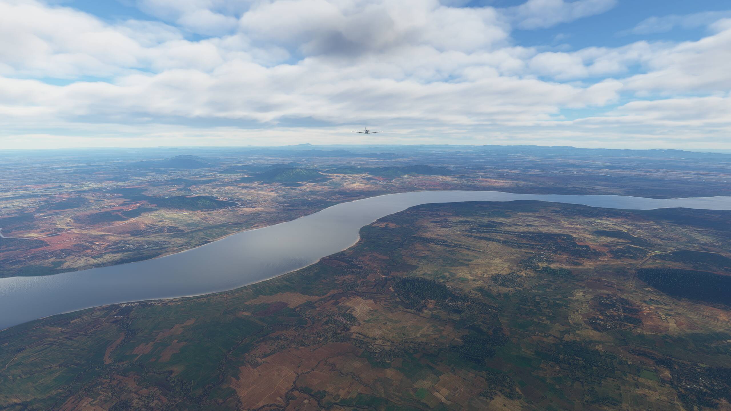
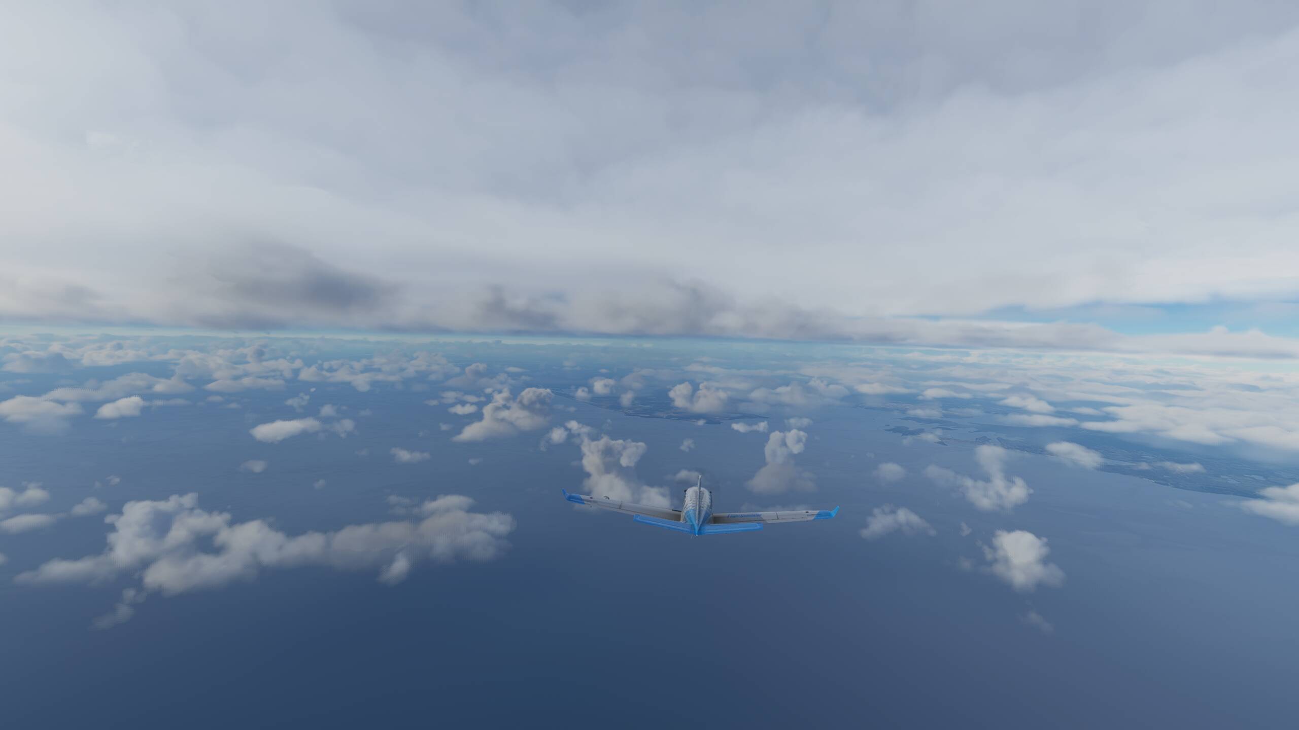
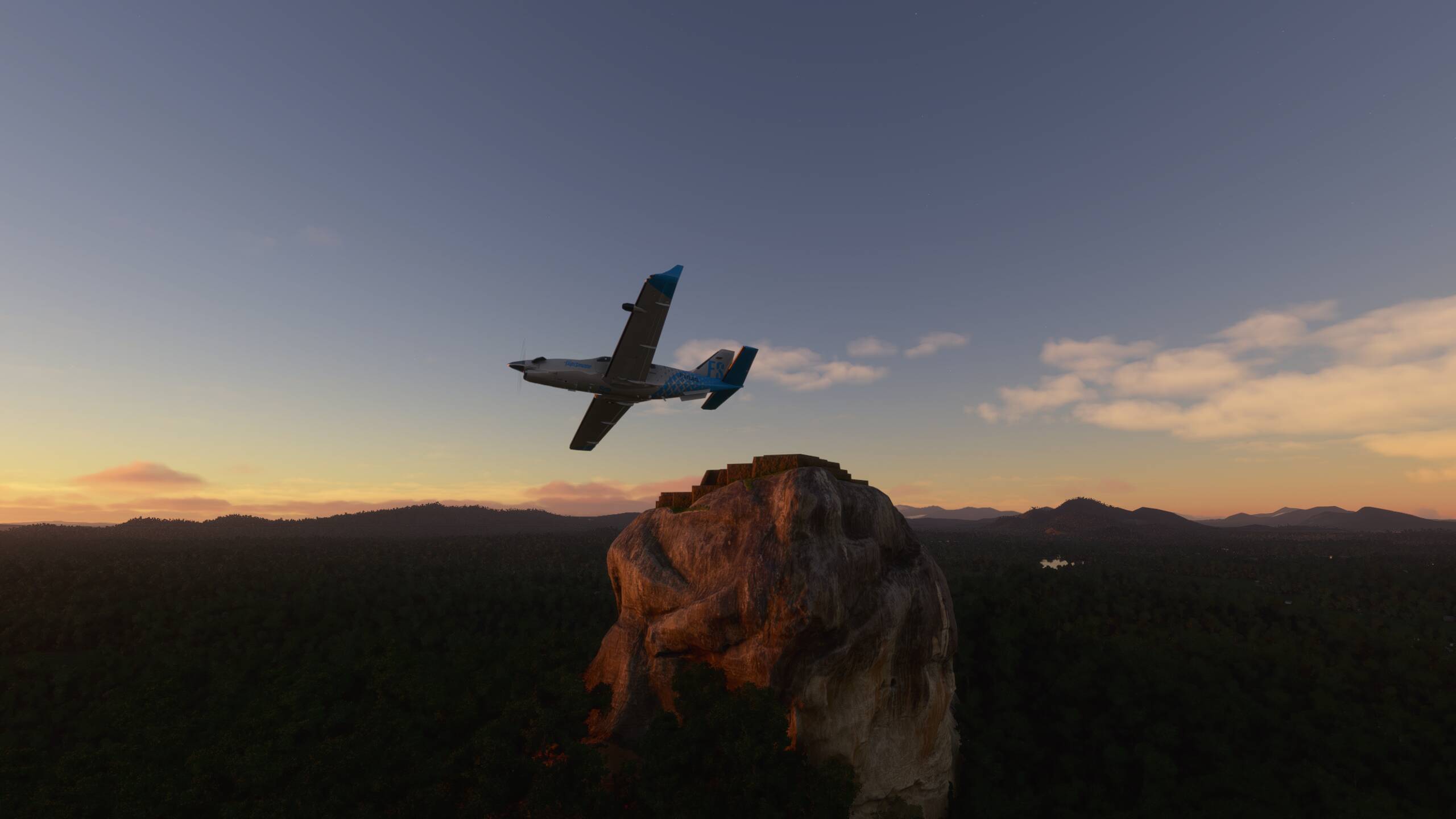
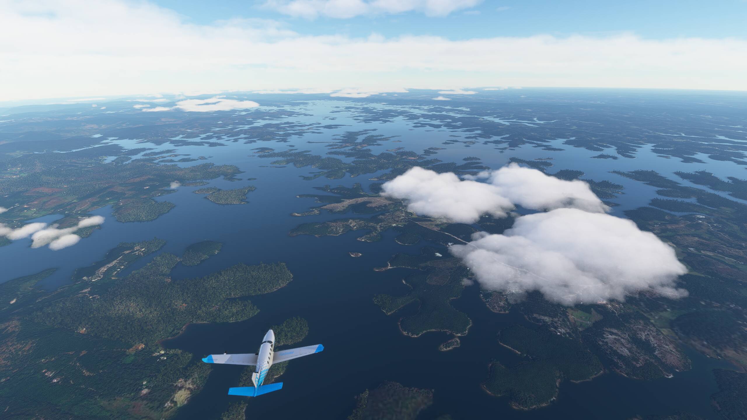
We are staying at 10,000ft ourselves as there are quite a few high mountains as we head towards Jakarta up the spine of Java - flying high enough to be above the frequent lightning flashes in the clouds below us
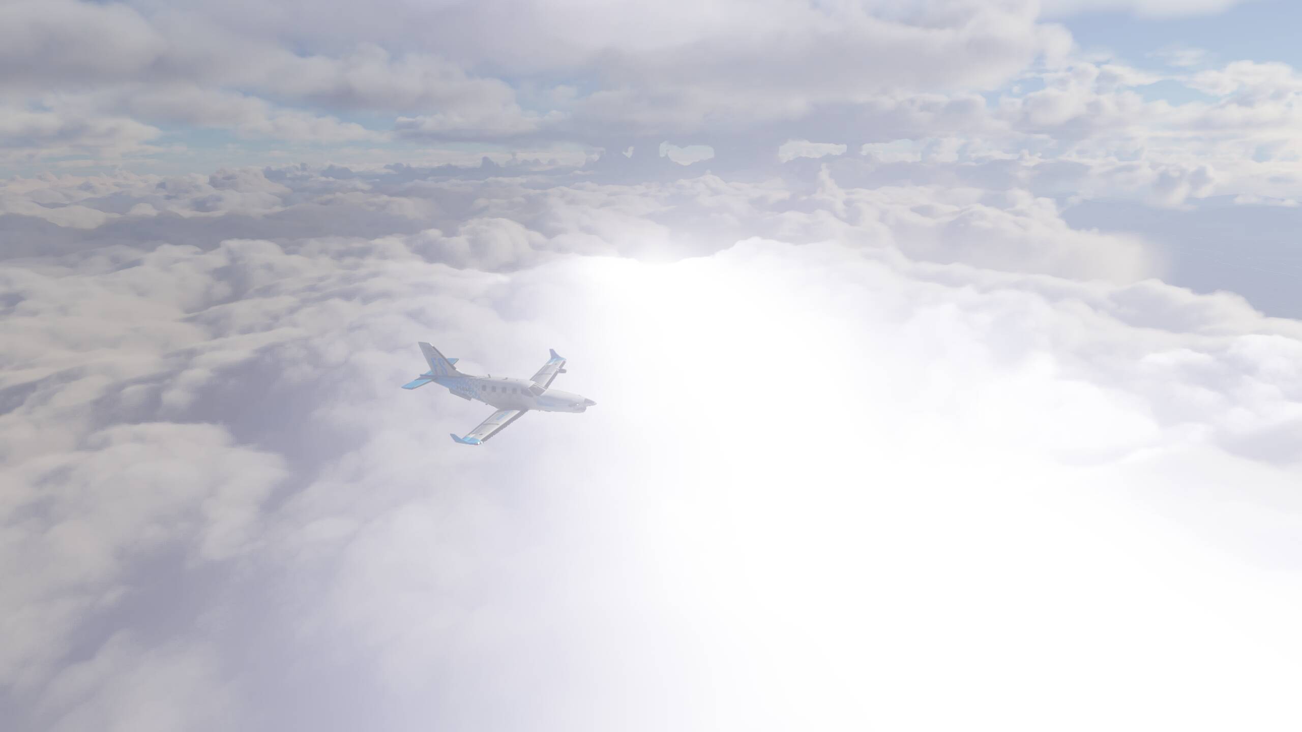

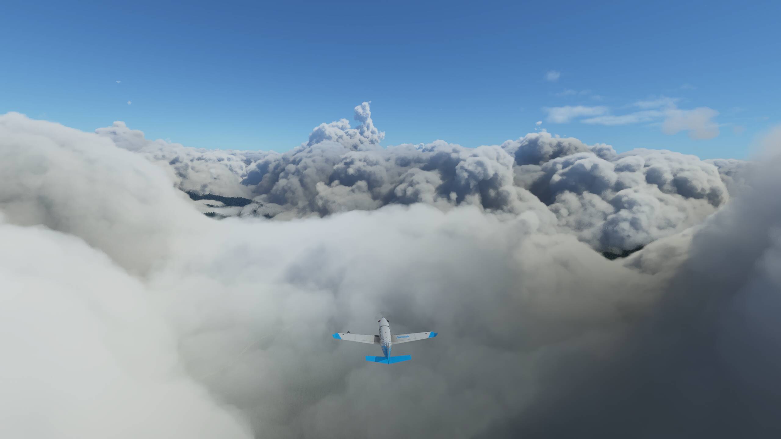
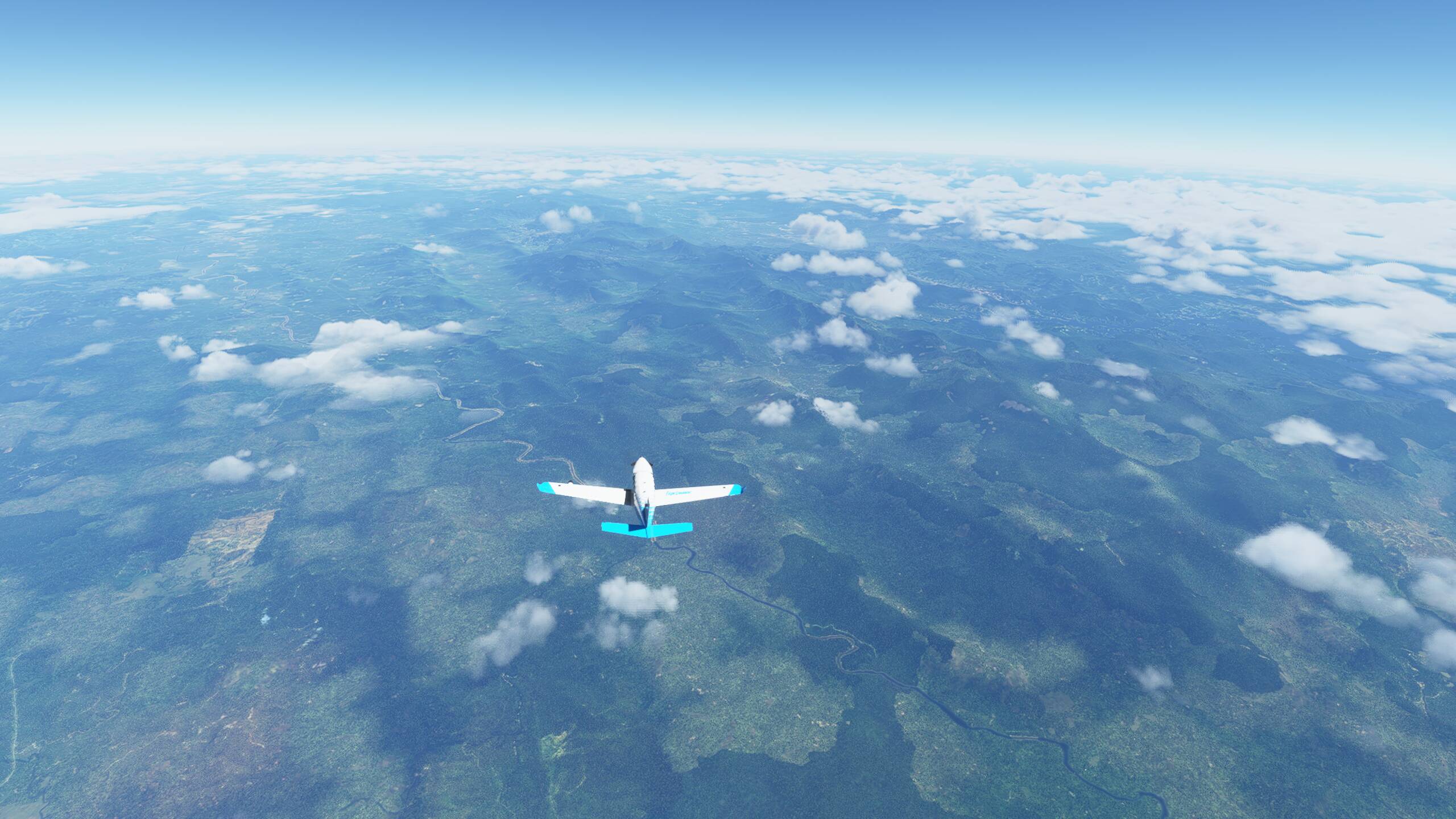
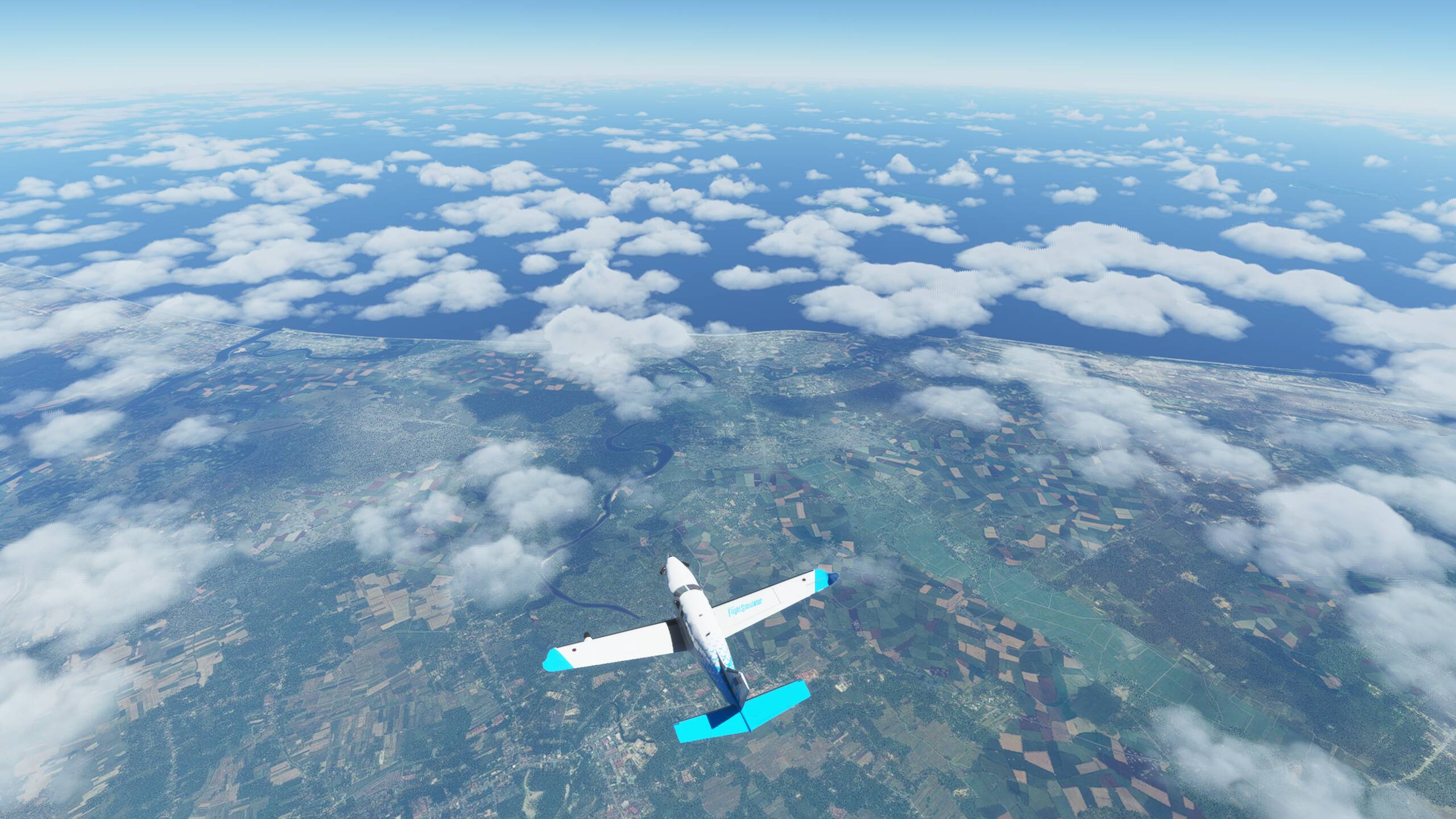
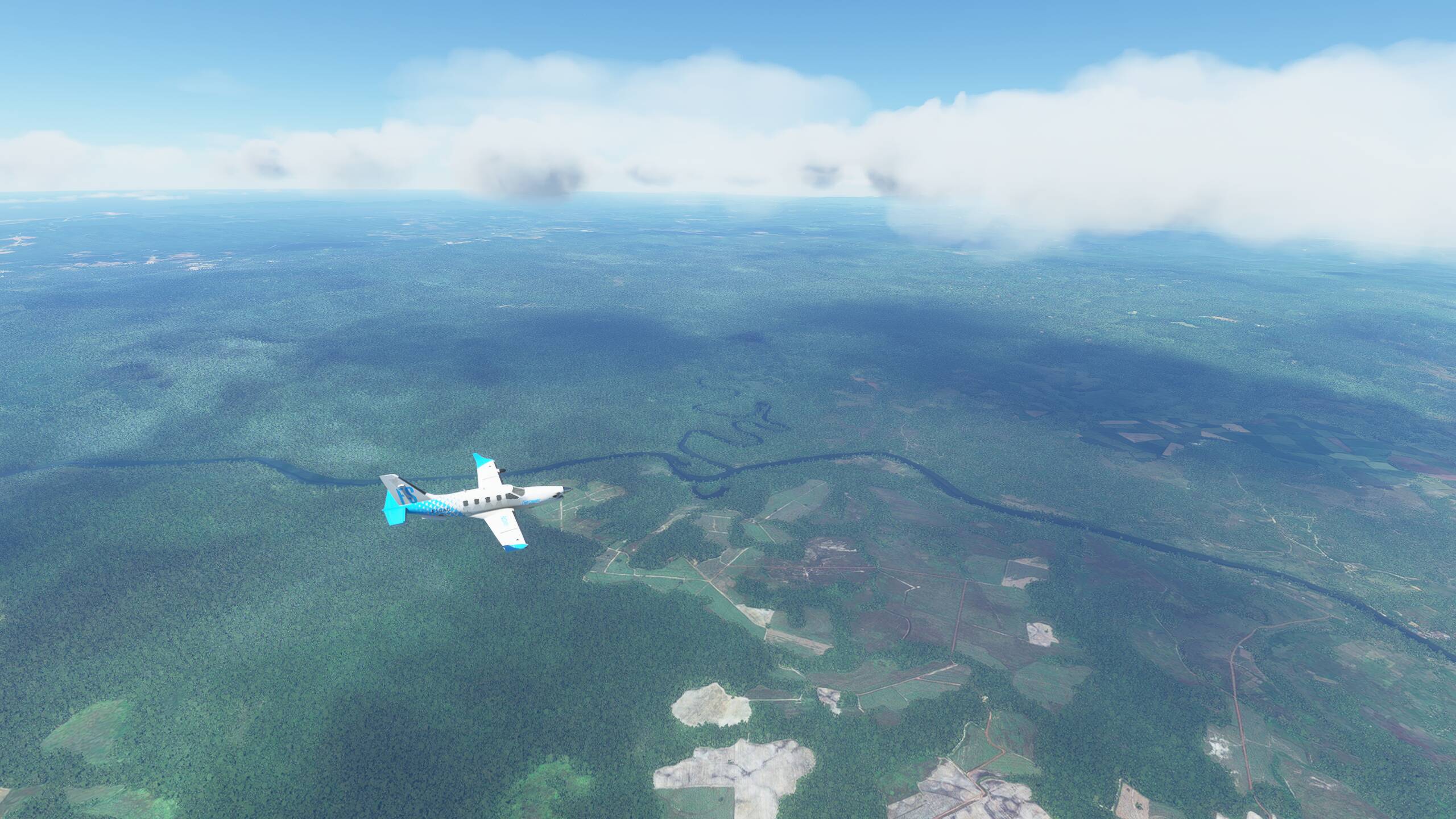
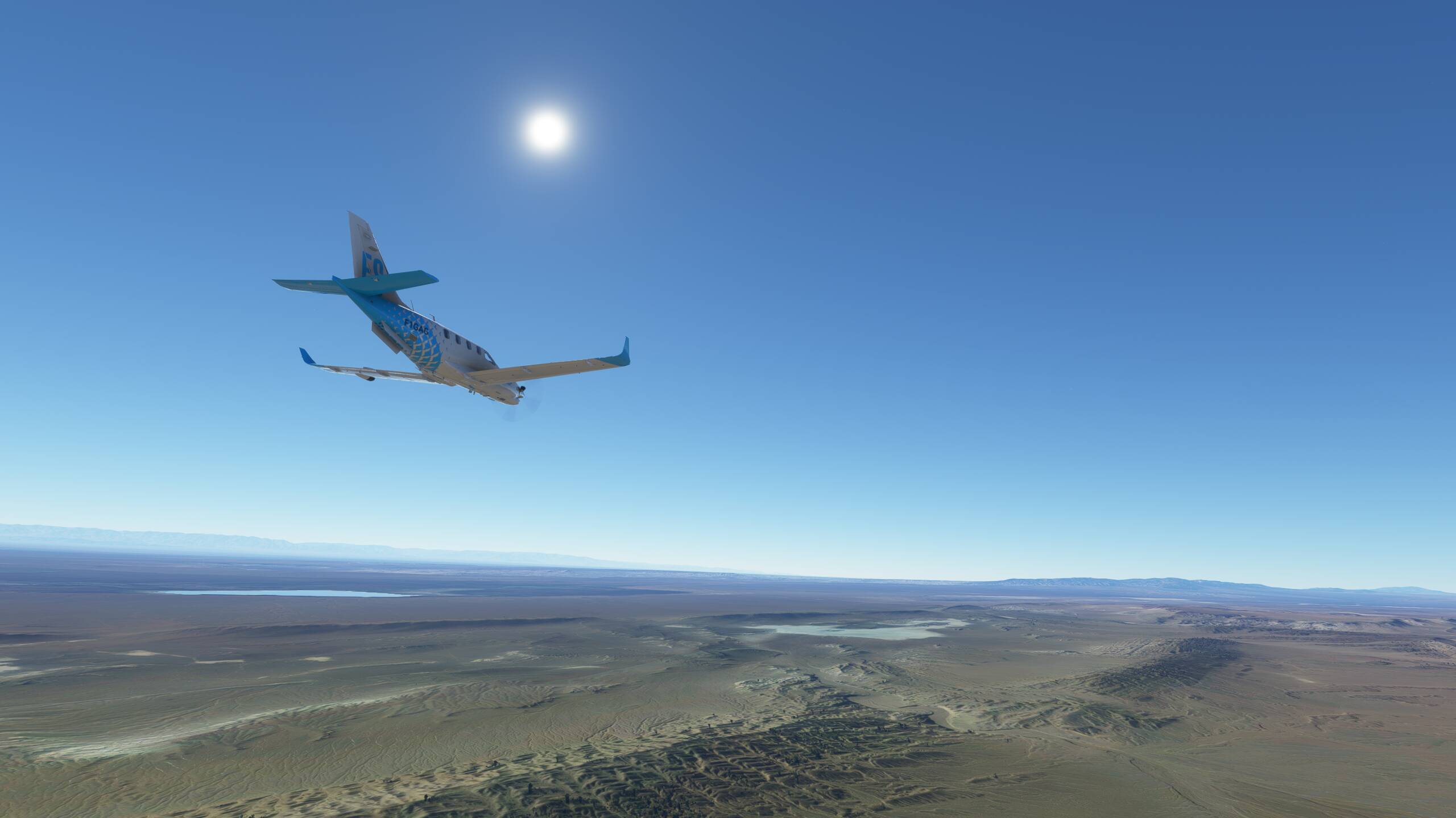
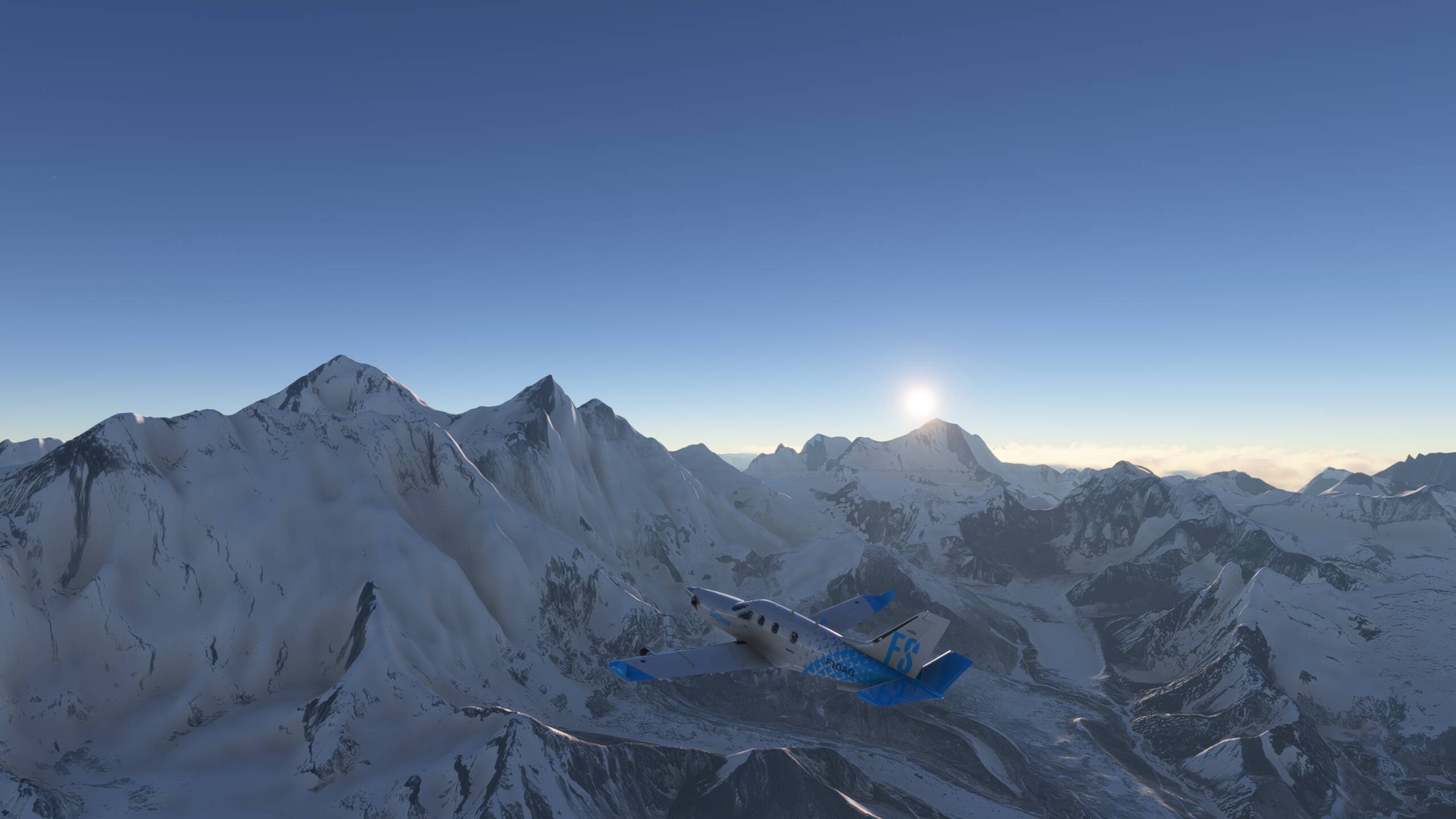
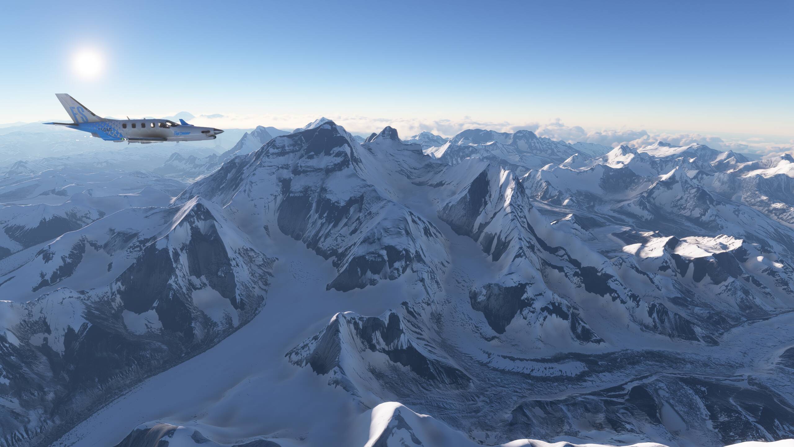
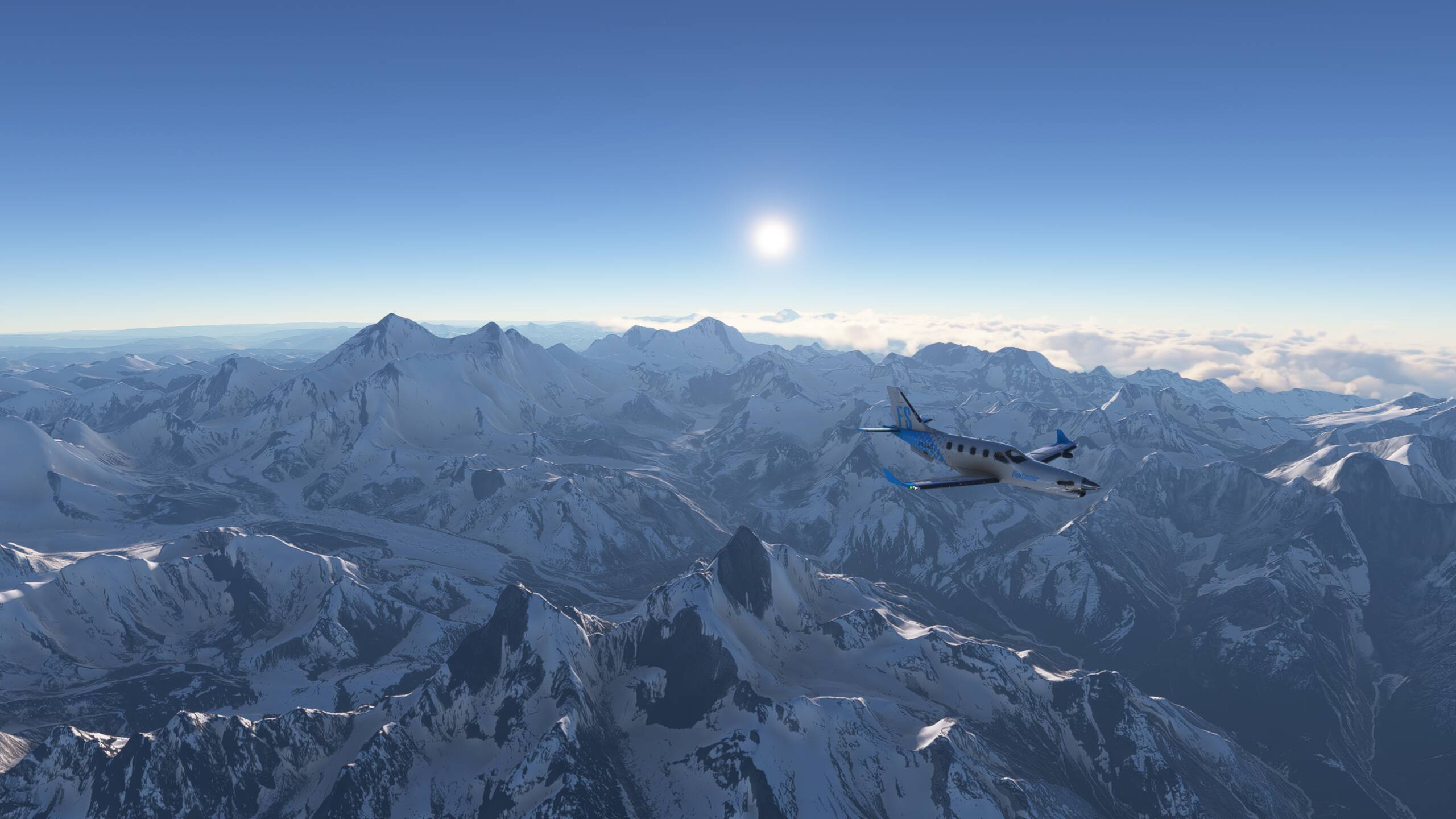
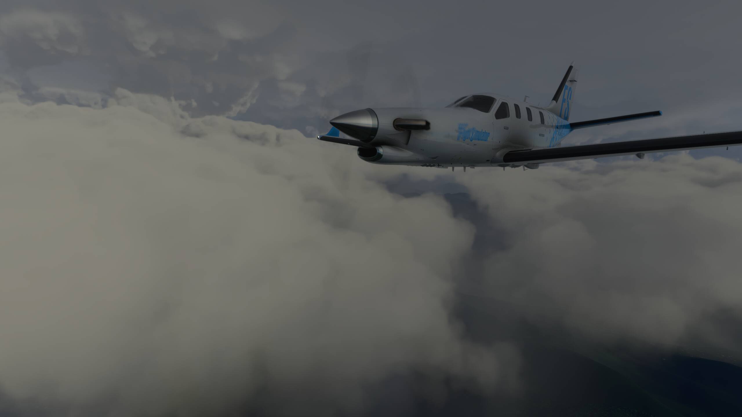
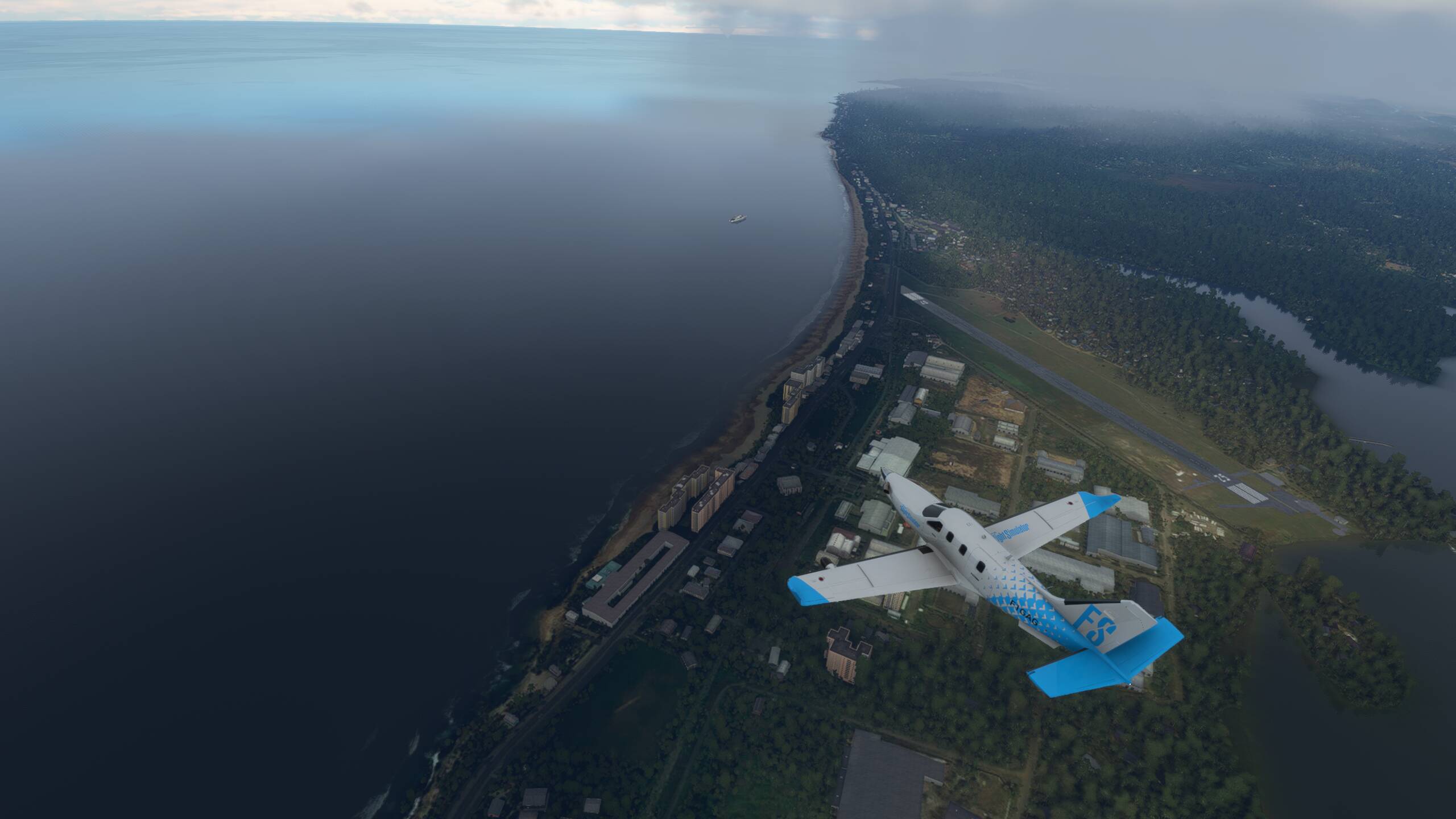
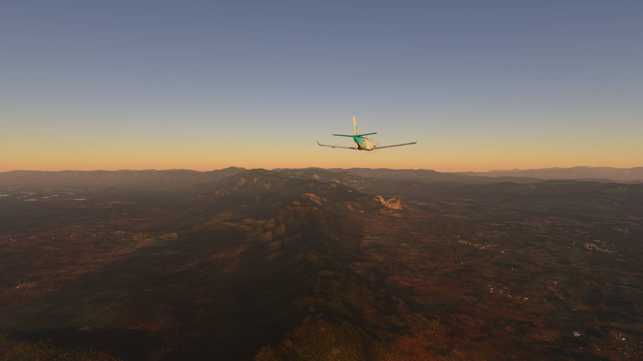
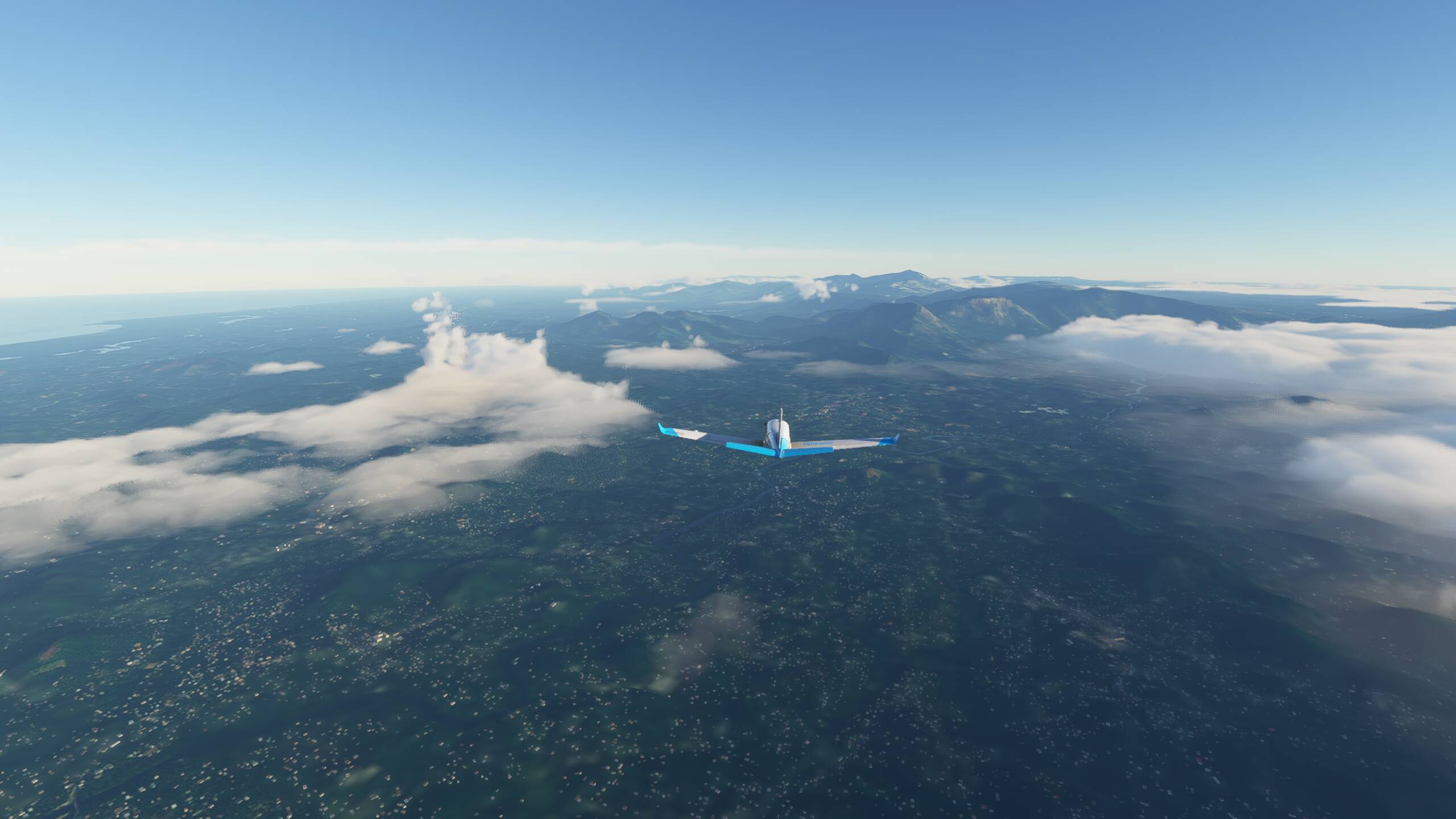
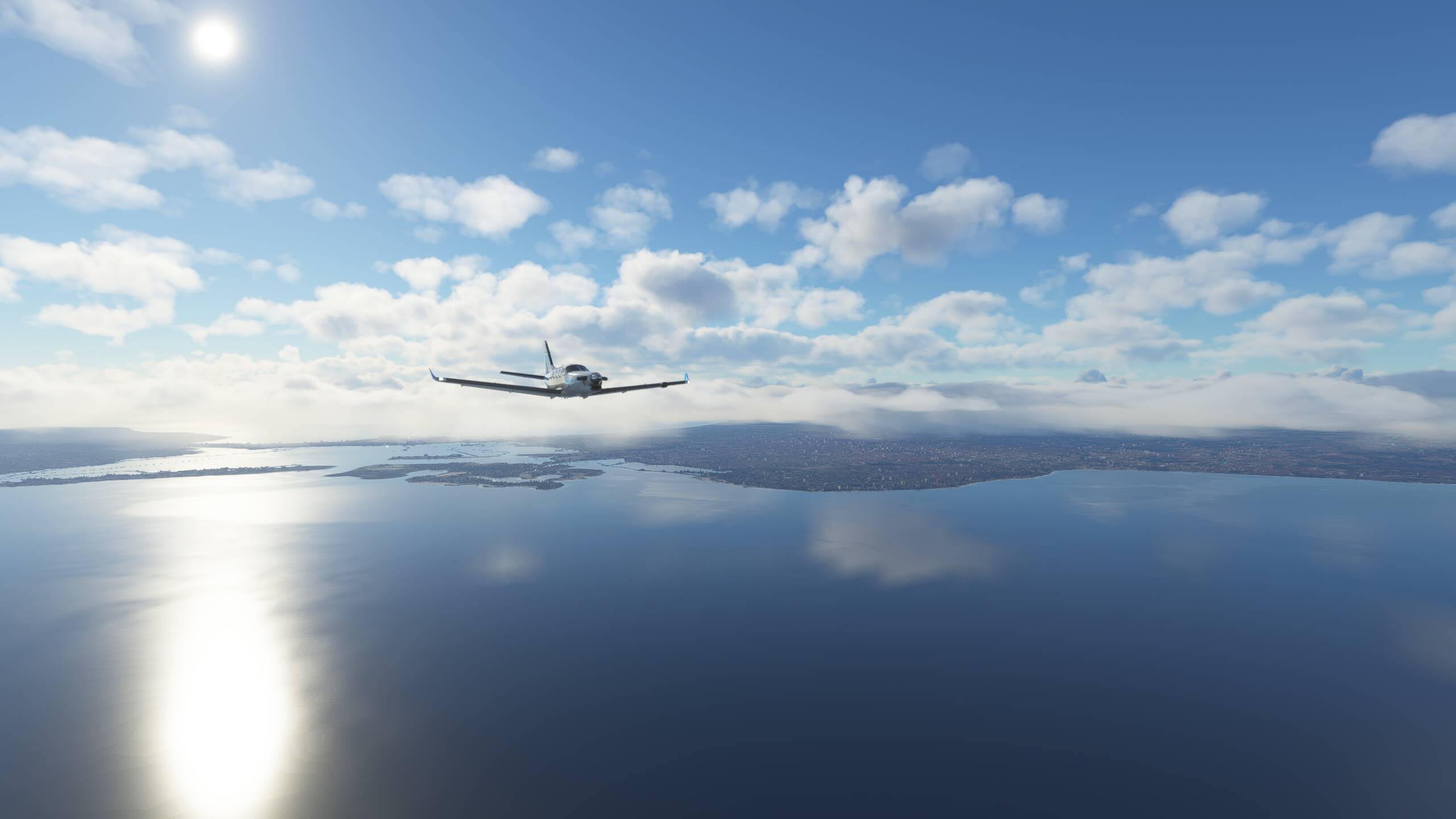
Flying towards the setting sun, and some glorious views with the cloud formations as we descend towards Jakarta


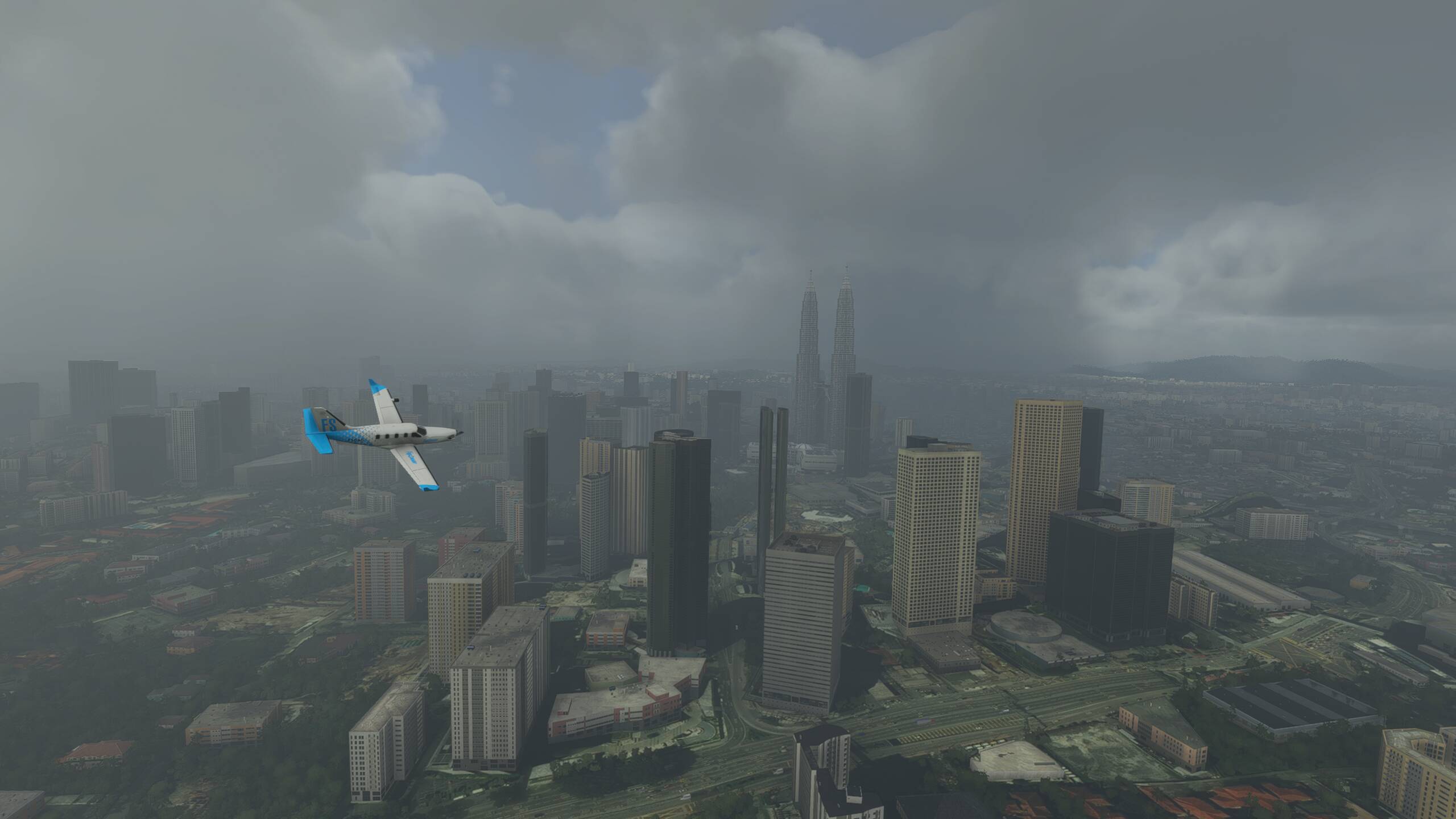
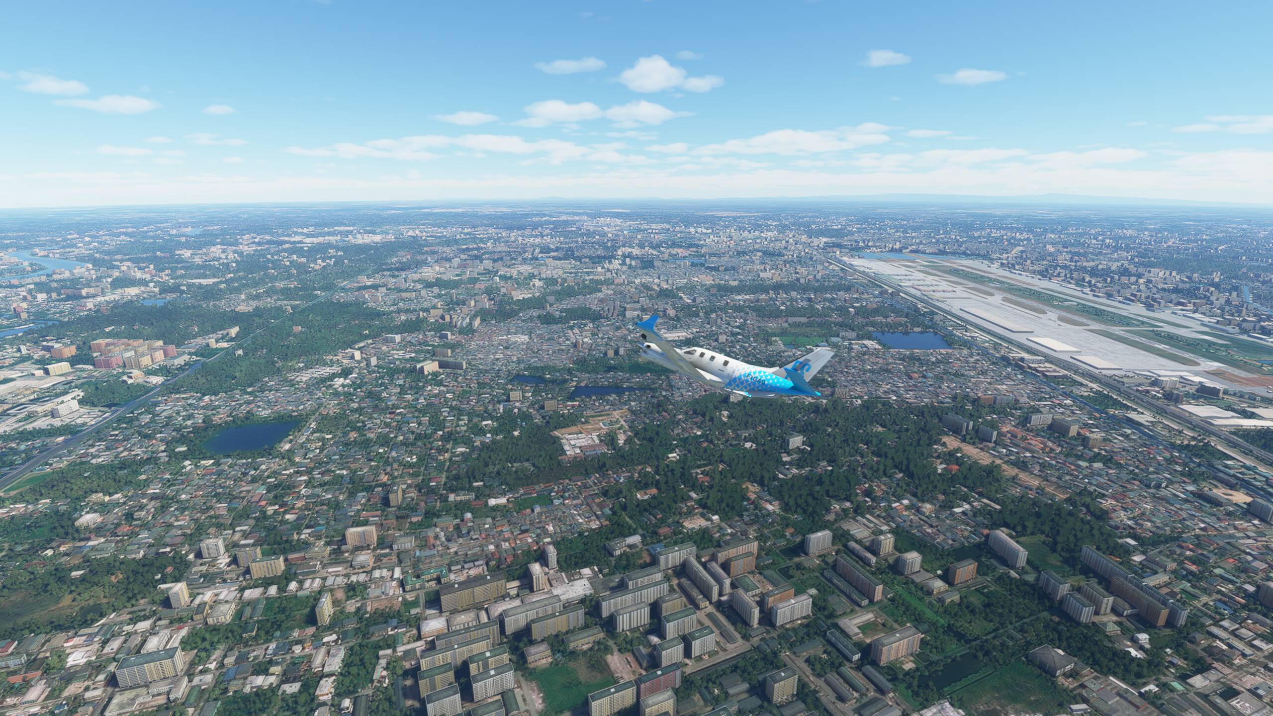
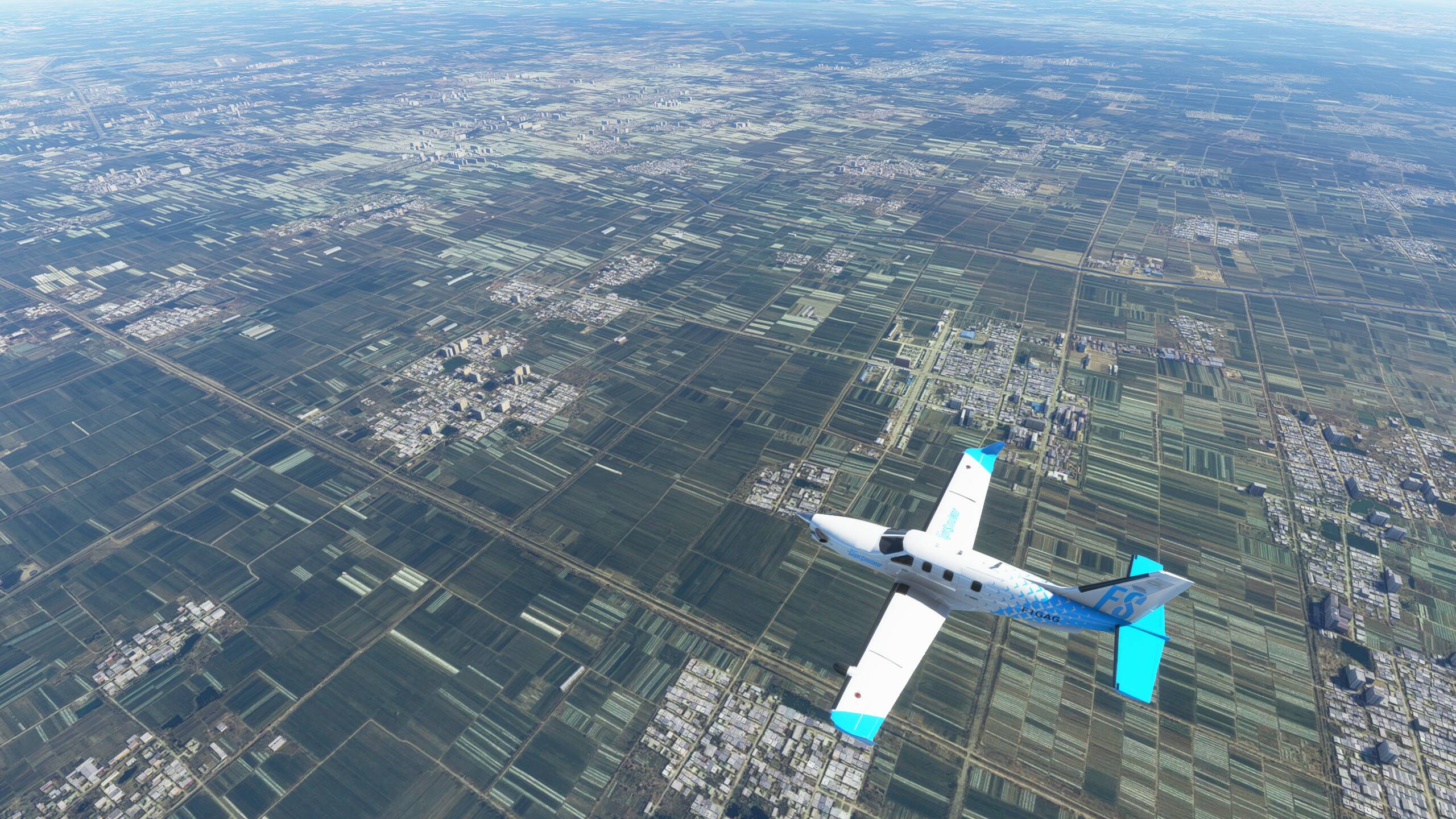
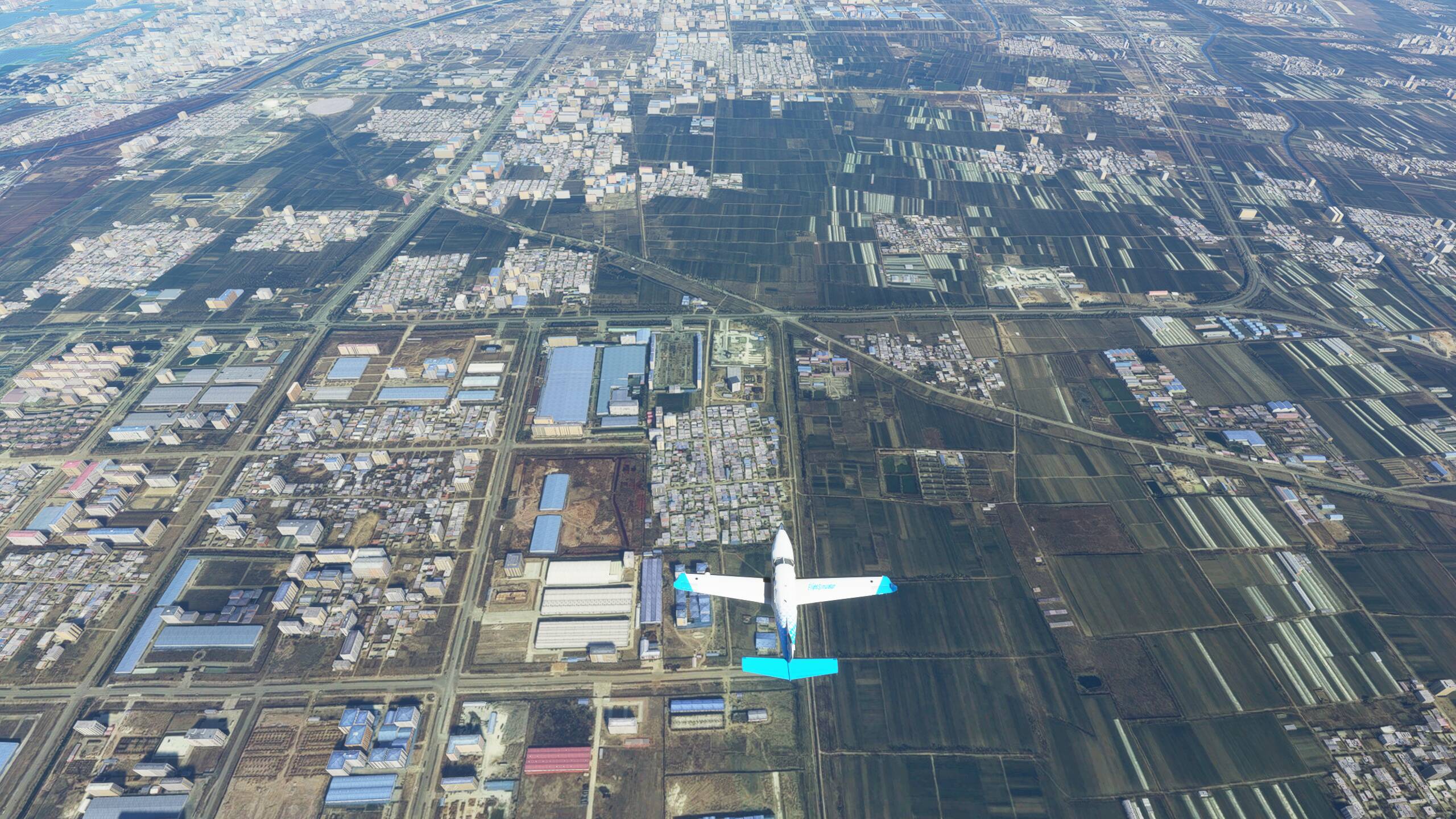
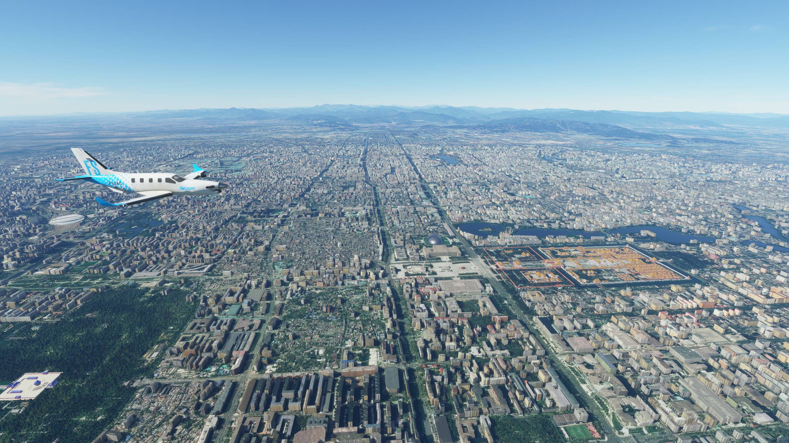
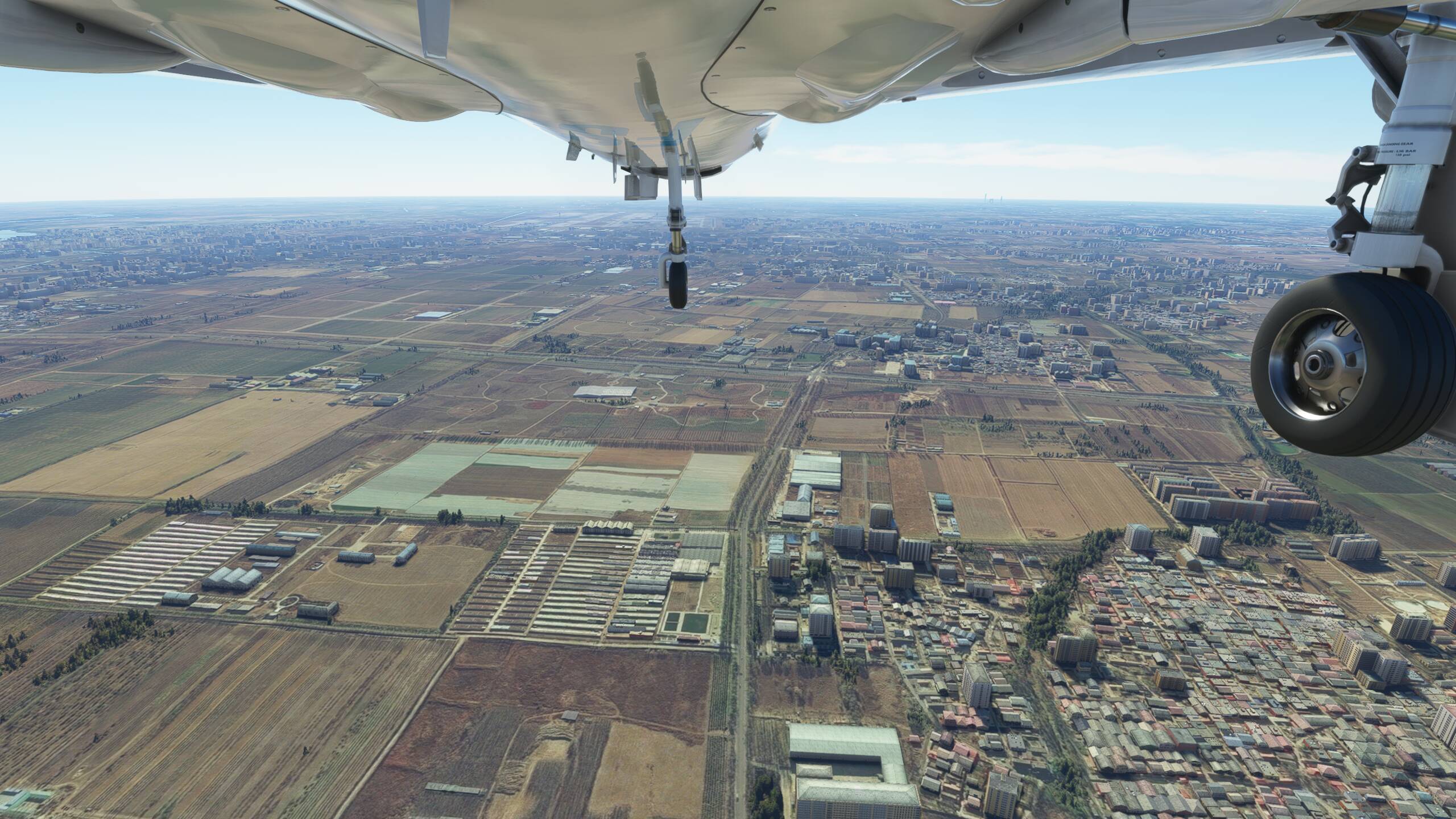
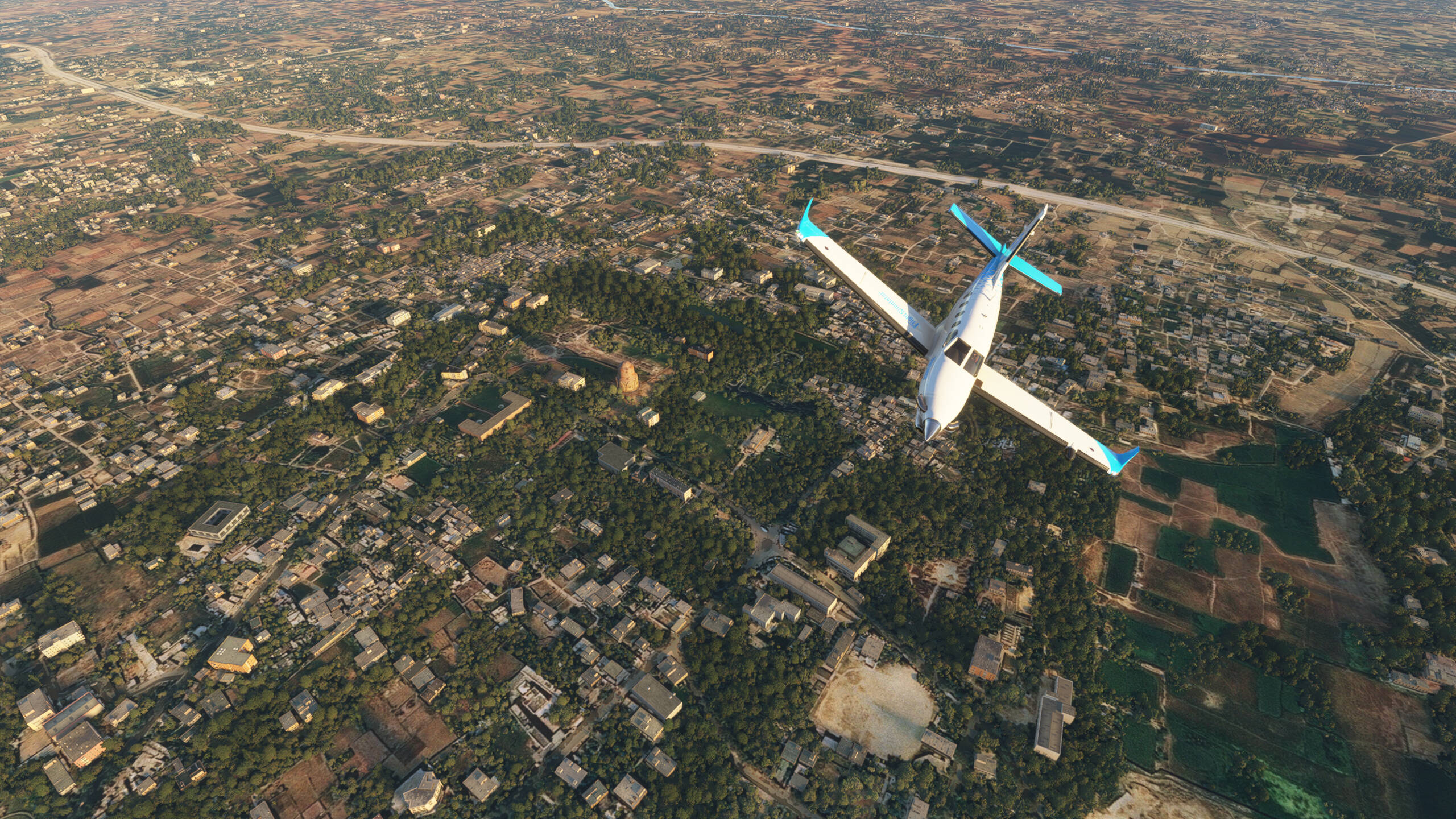
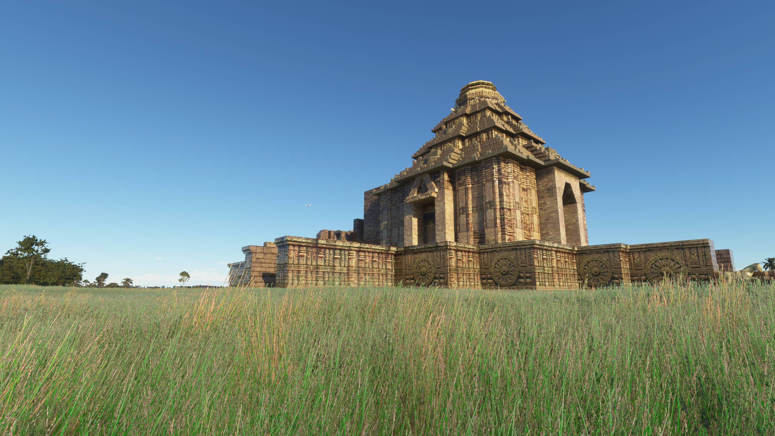
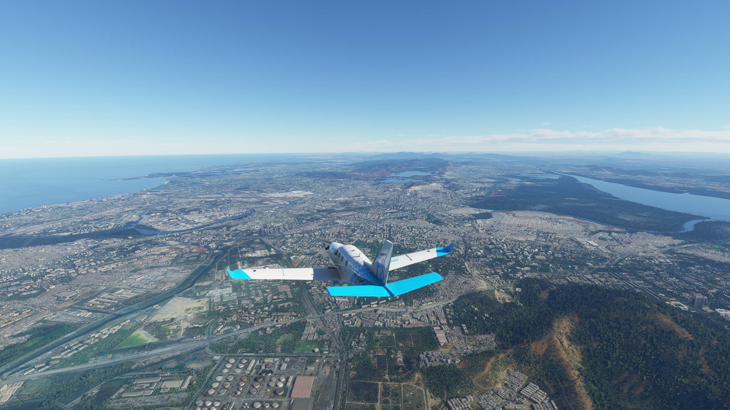
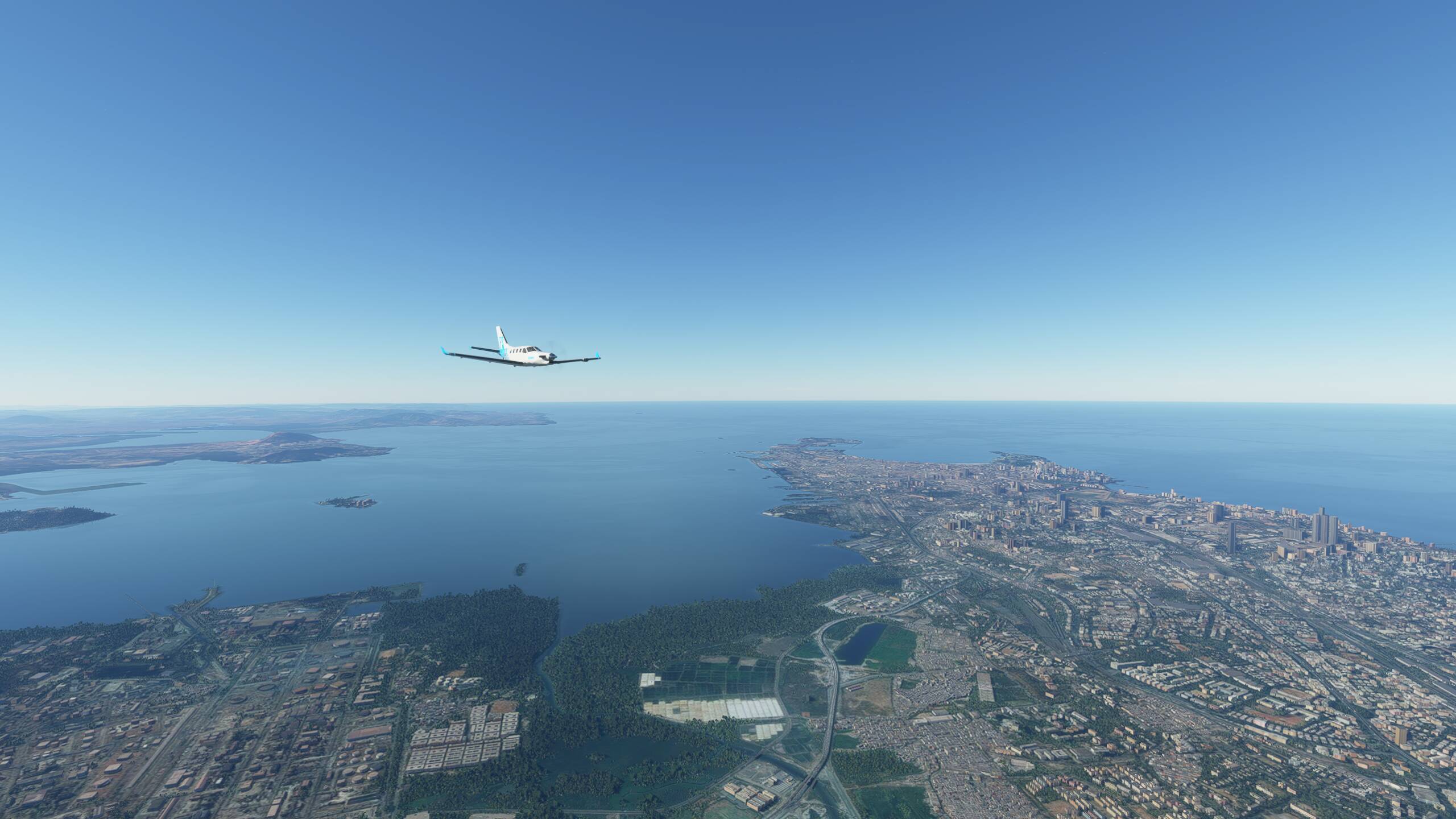
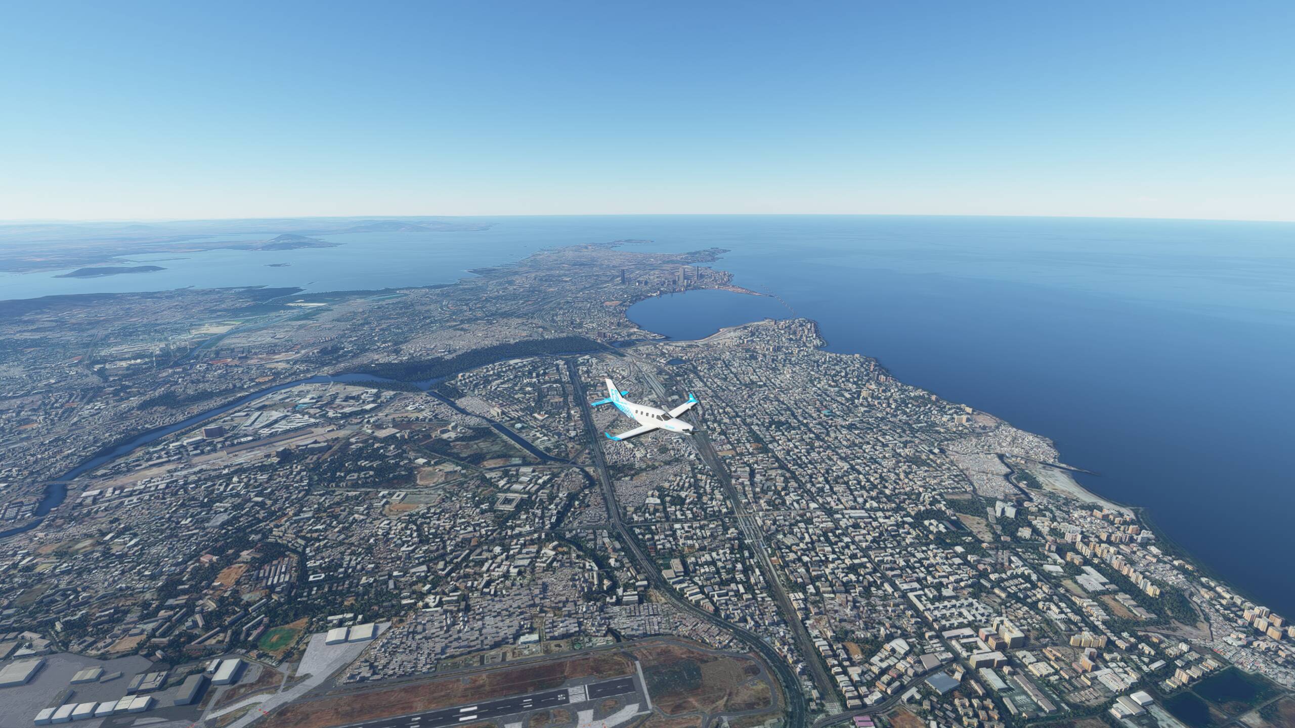
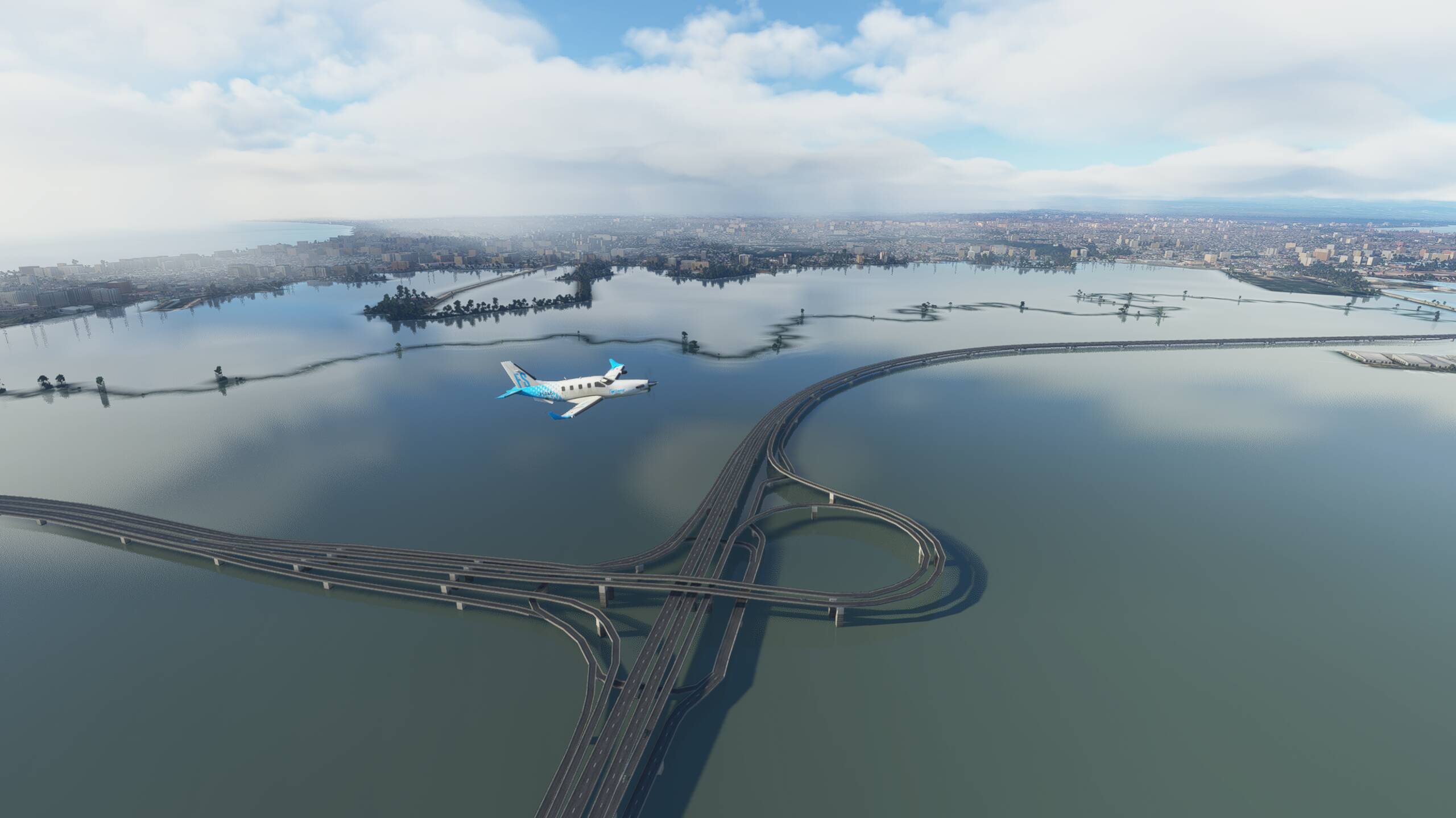
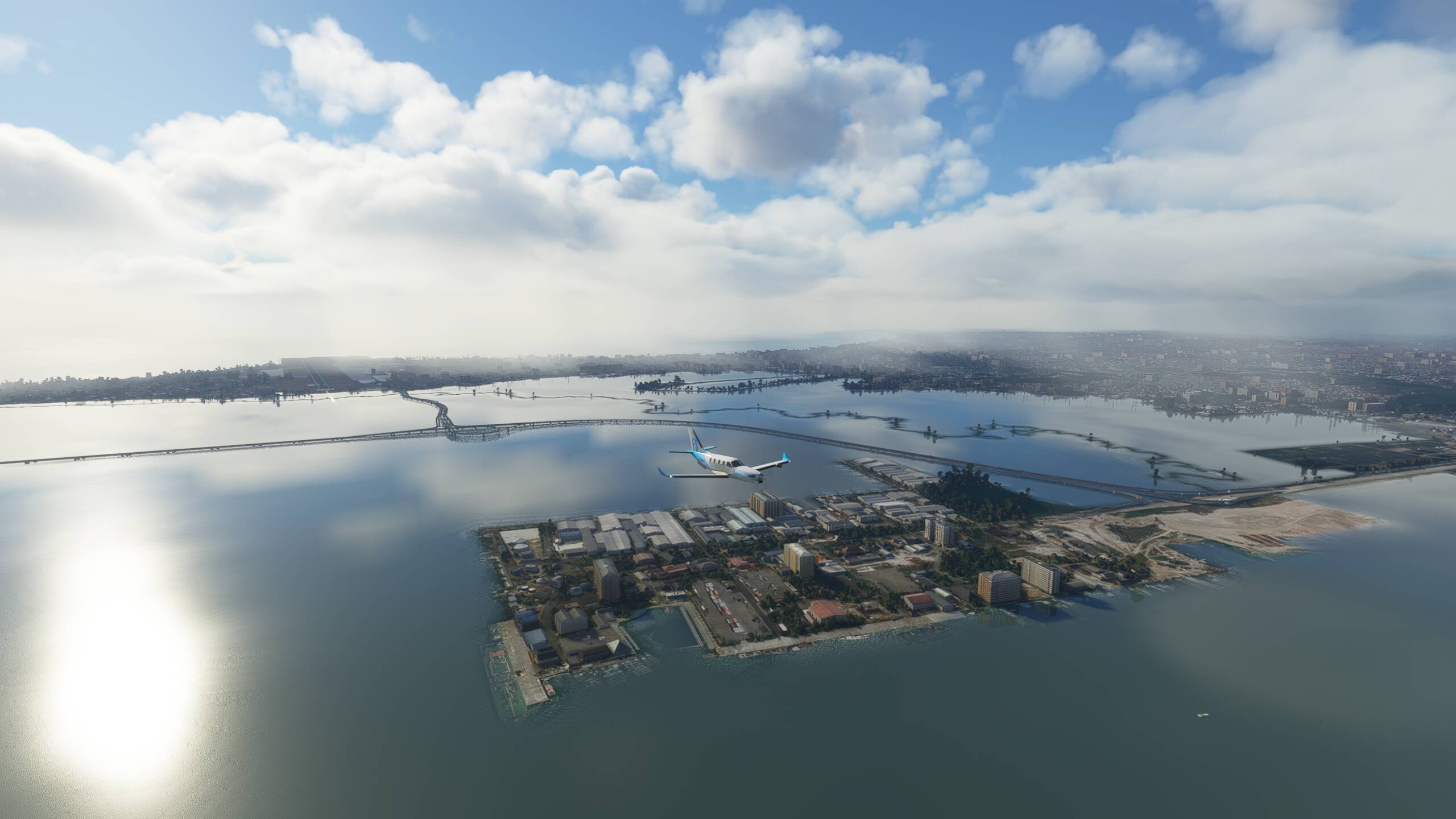
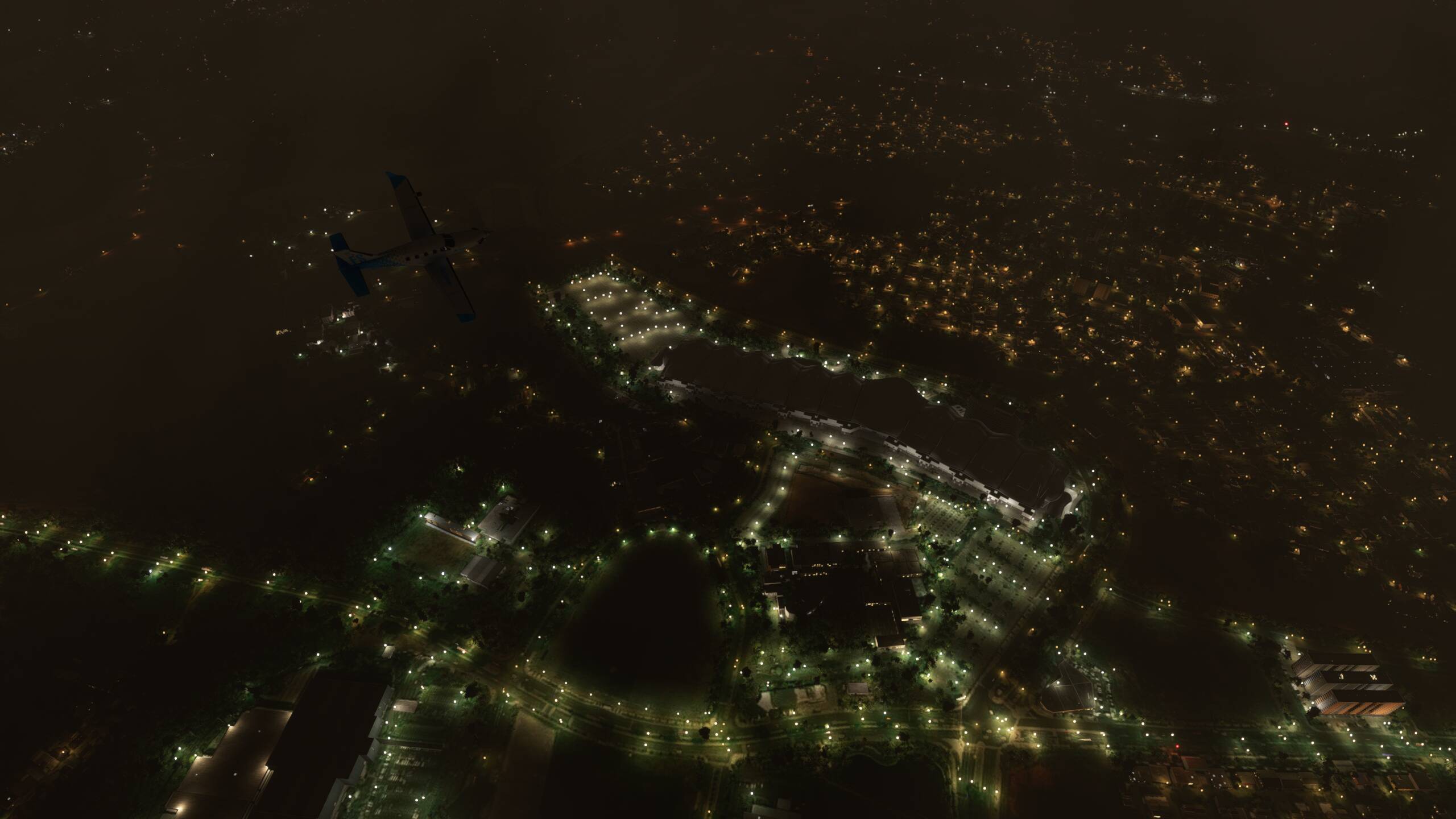
Dropping down further below some heavy clouds - seemingly getting dark already here, but I think that’s mainly the cloud cover. So we get to see Jakarta by night - and thunderstorms too! We are also flying right over the top of the Indonesian Convention Exhibition Centre


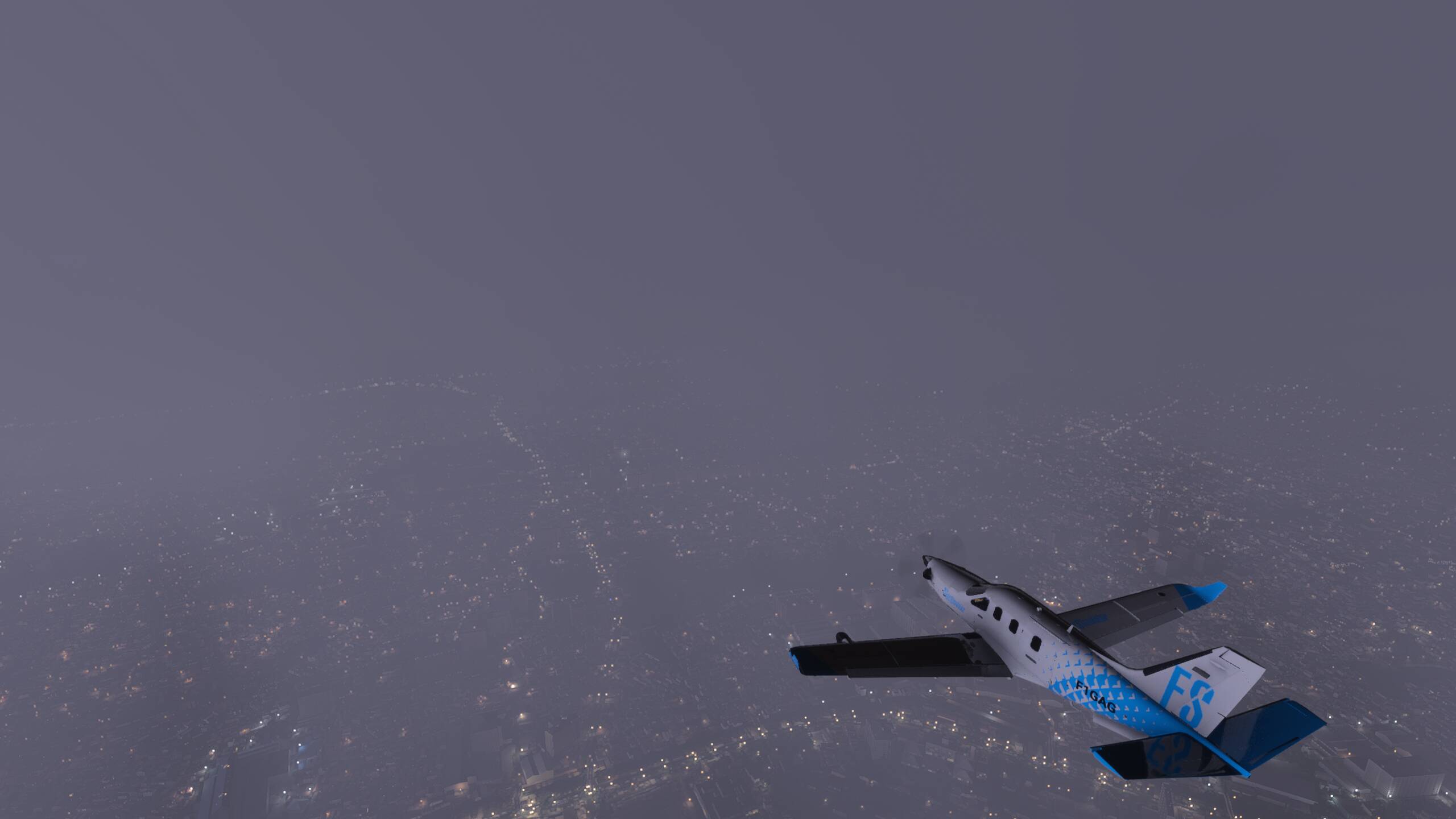


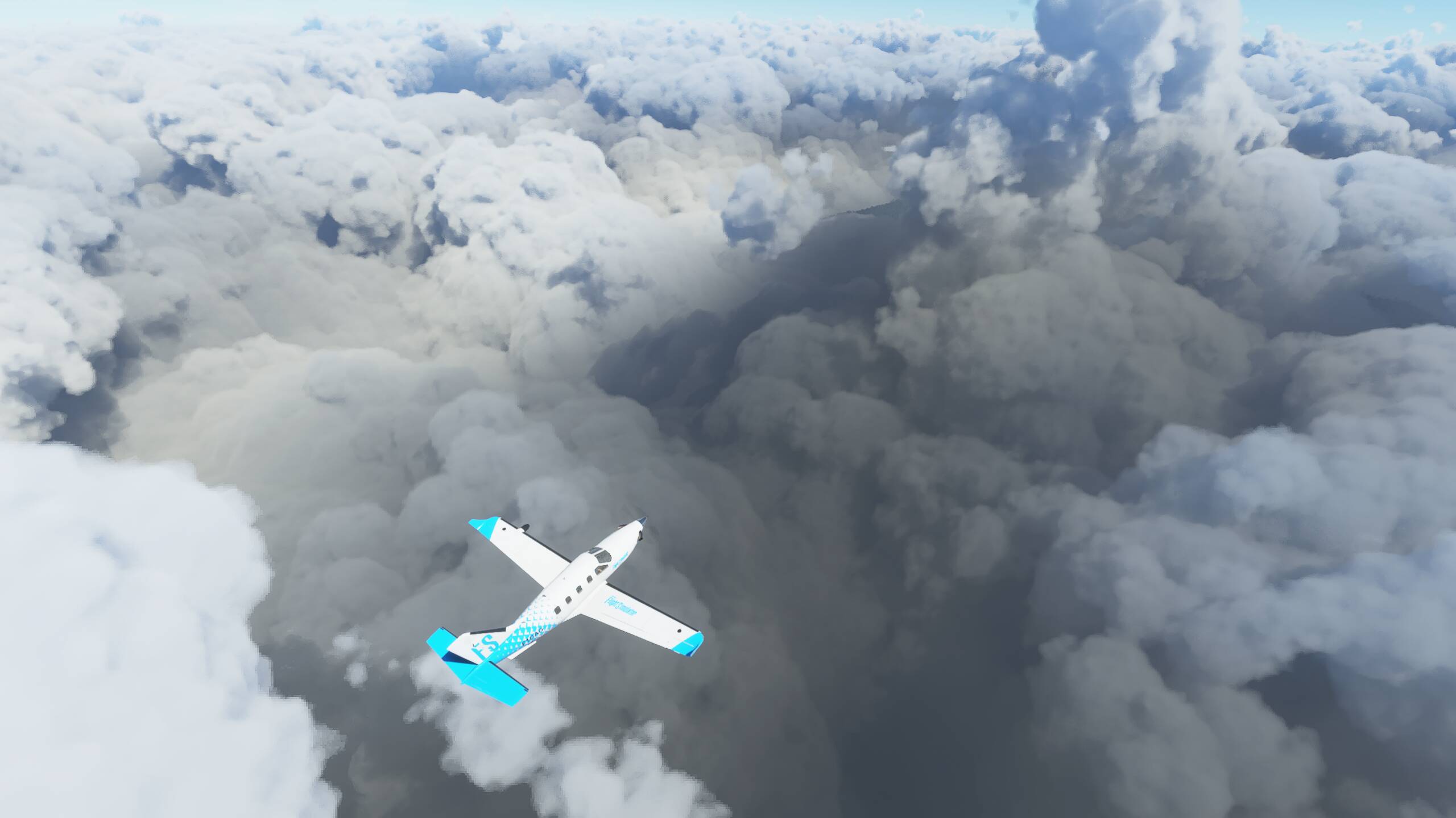
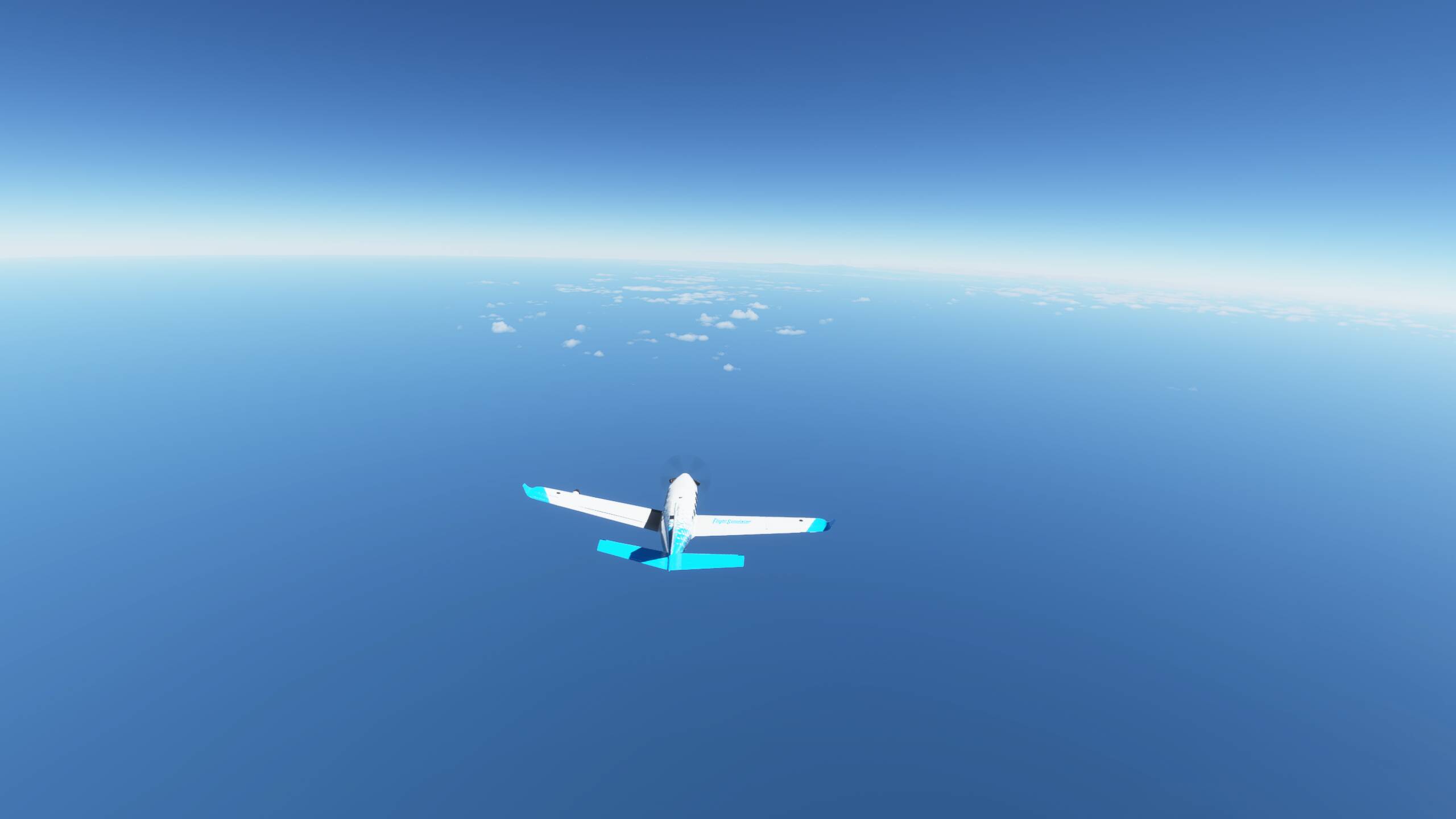
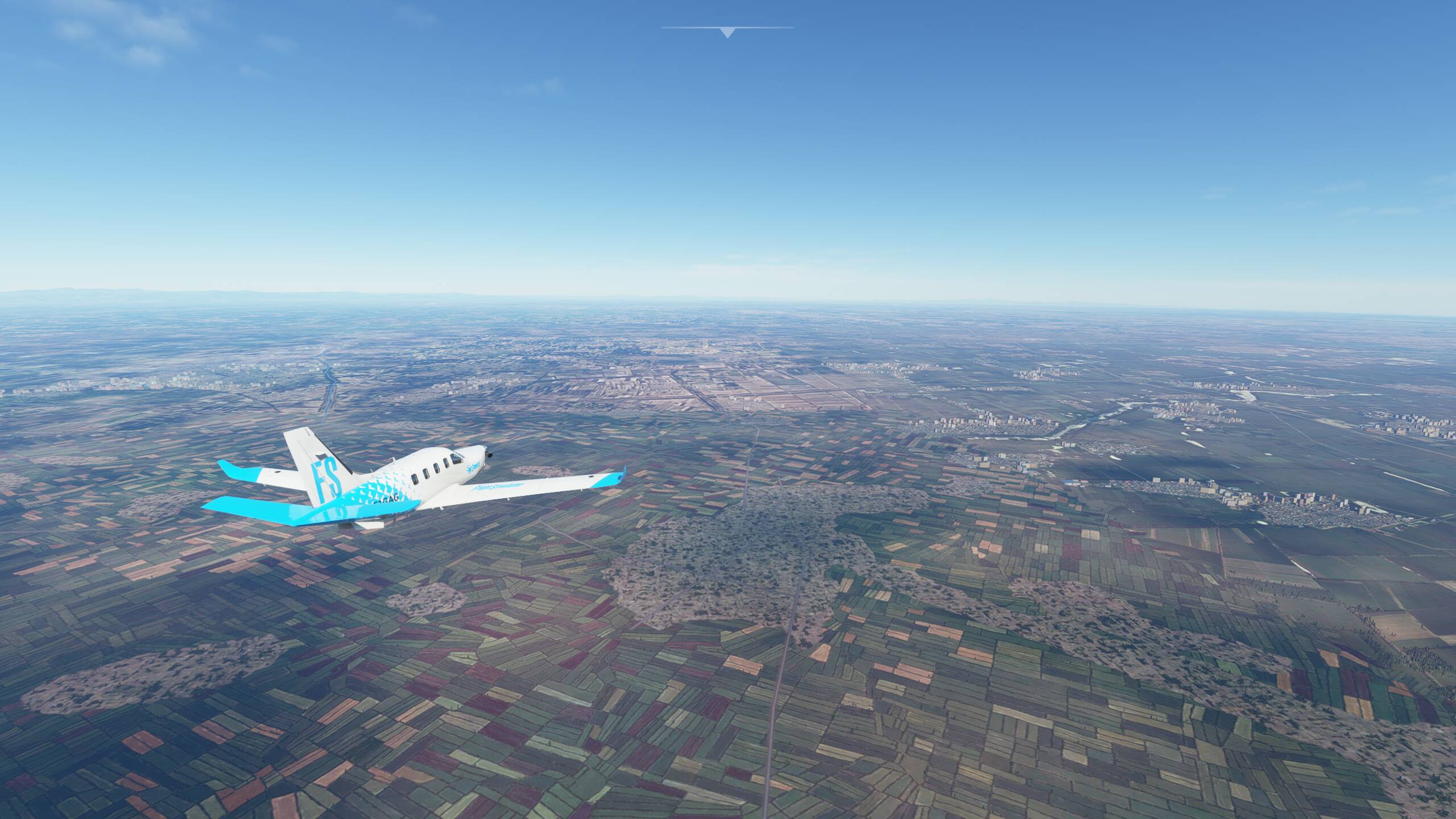
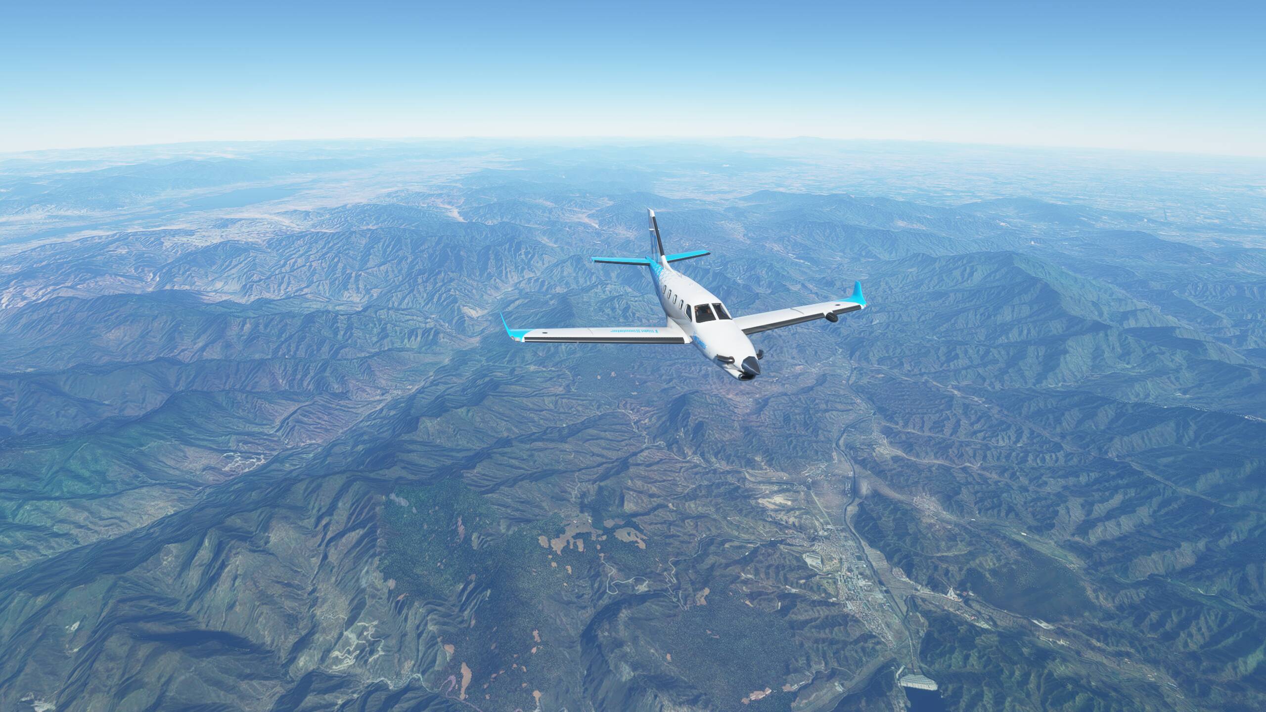
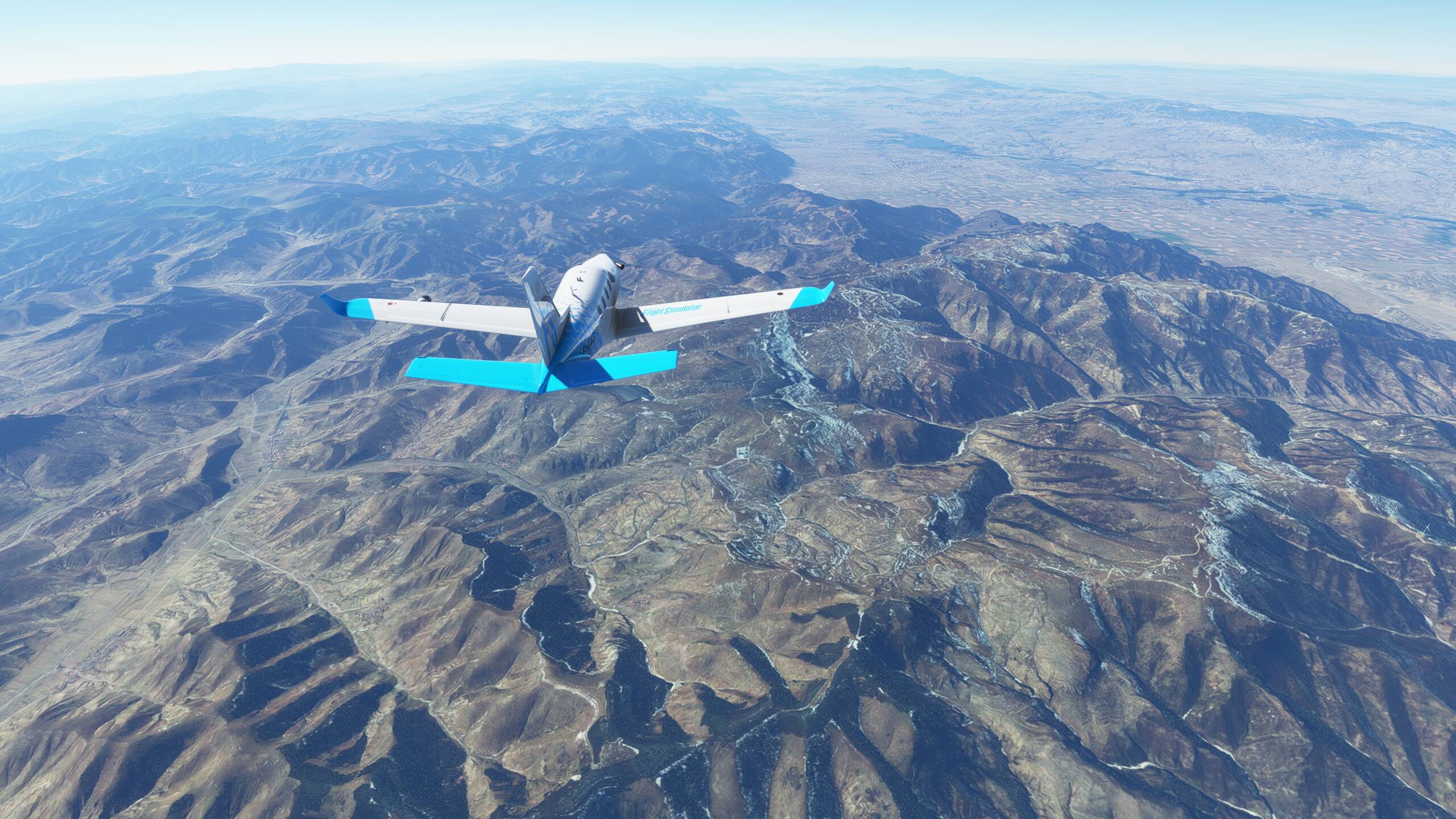
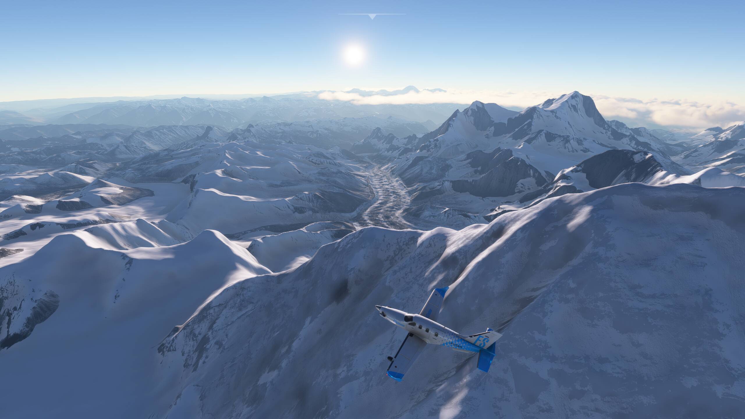
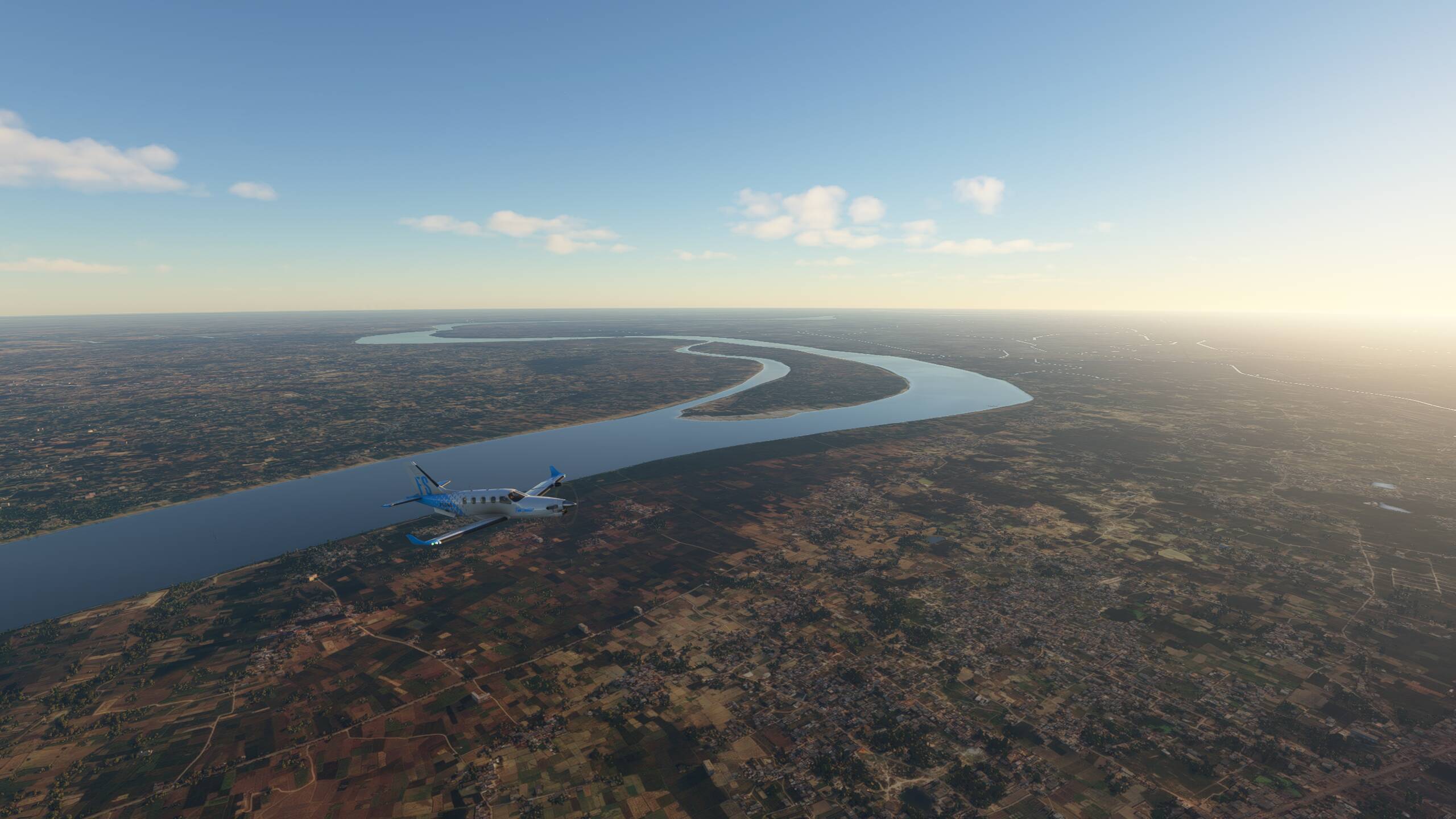
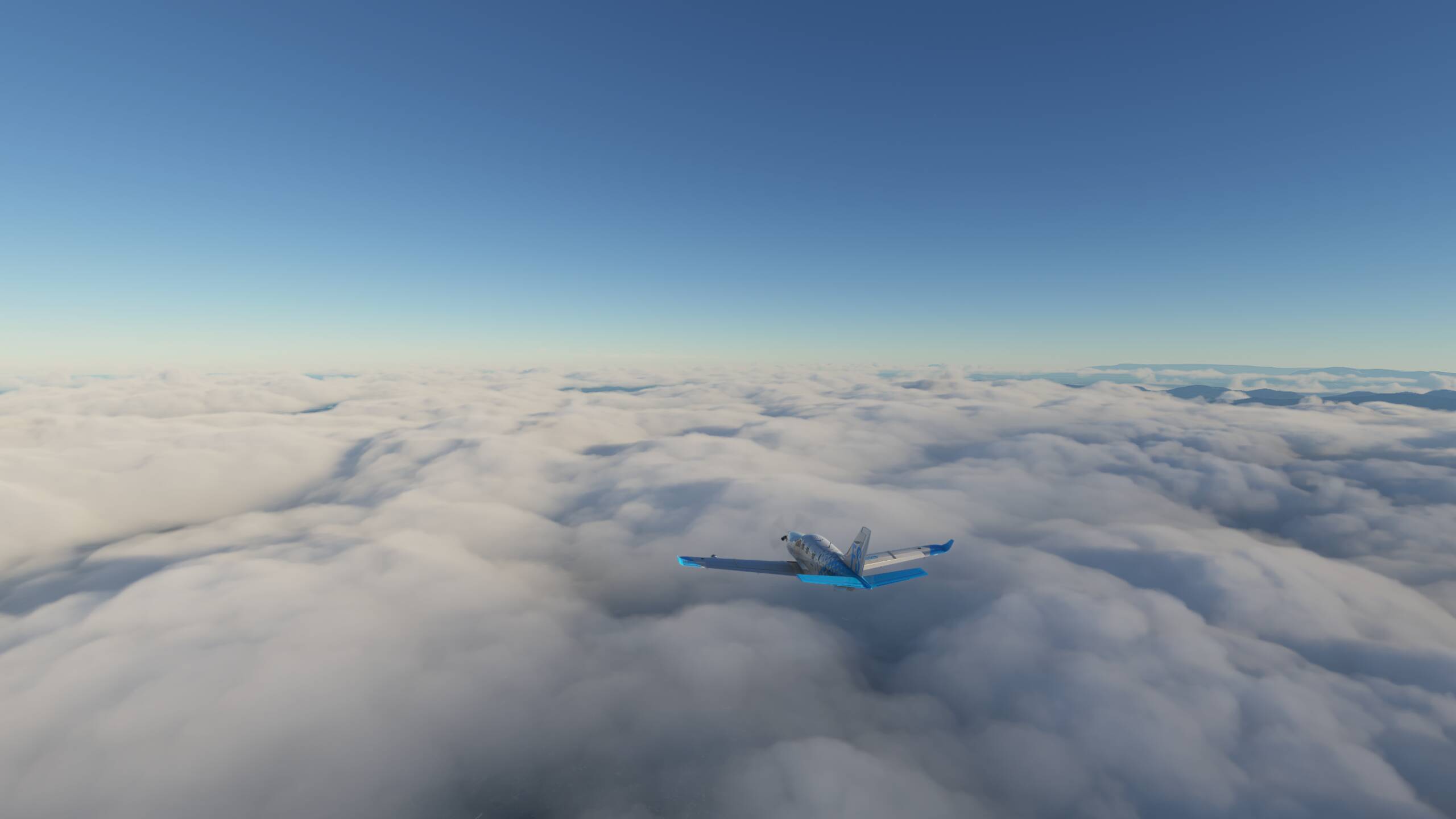
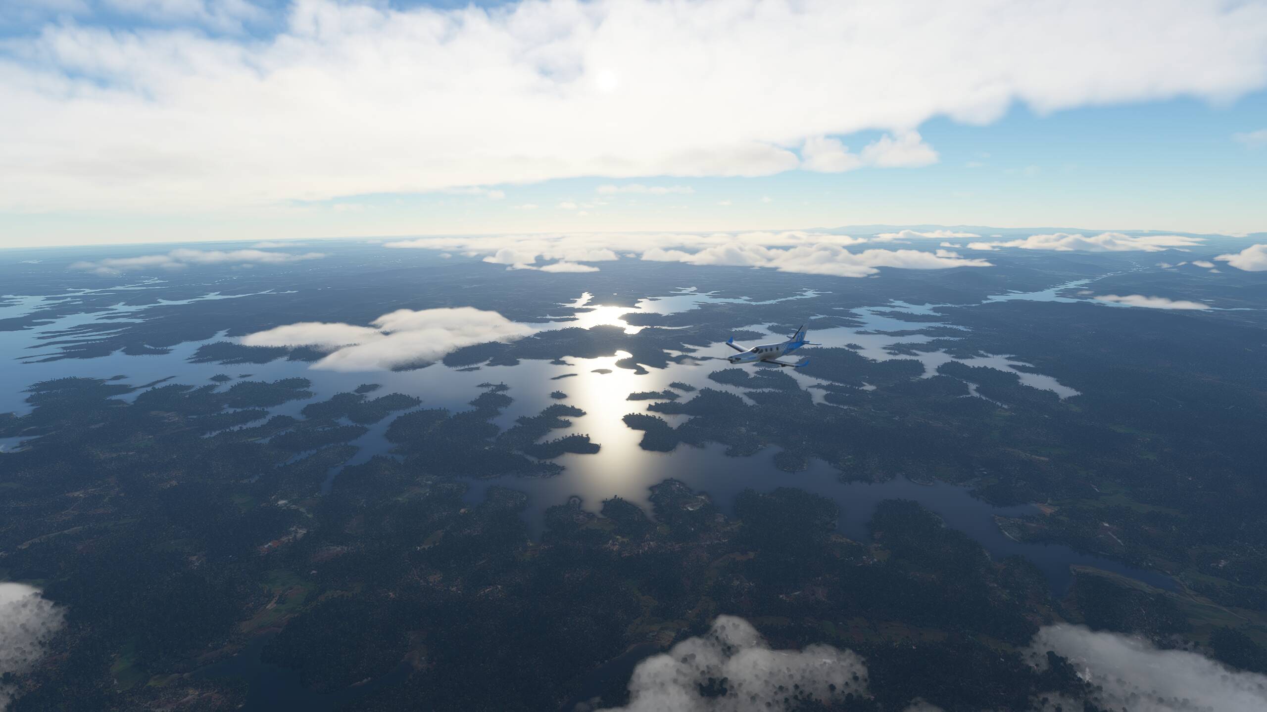
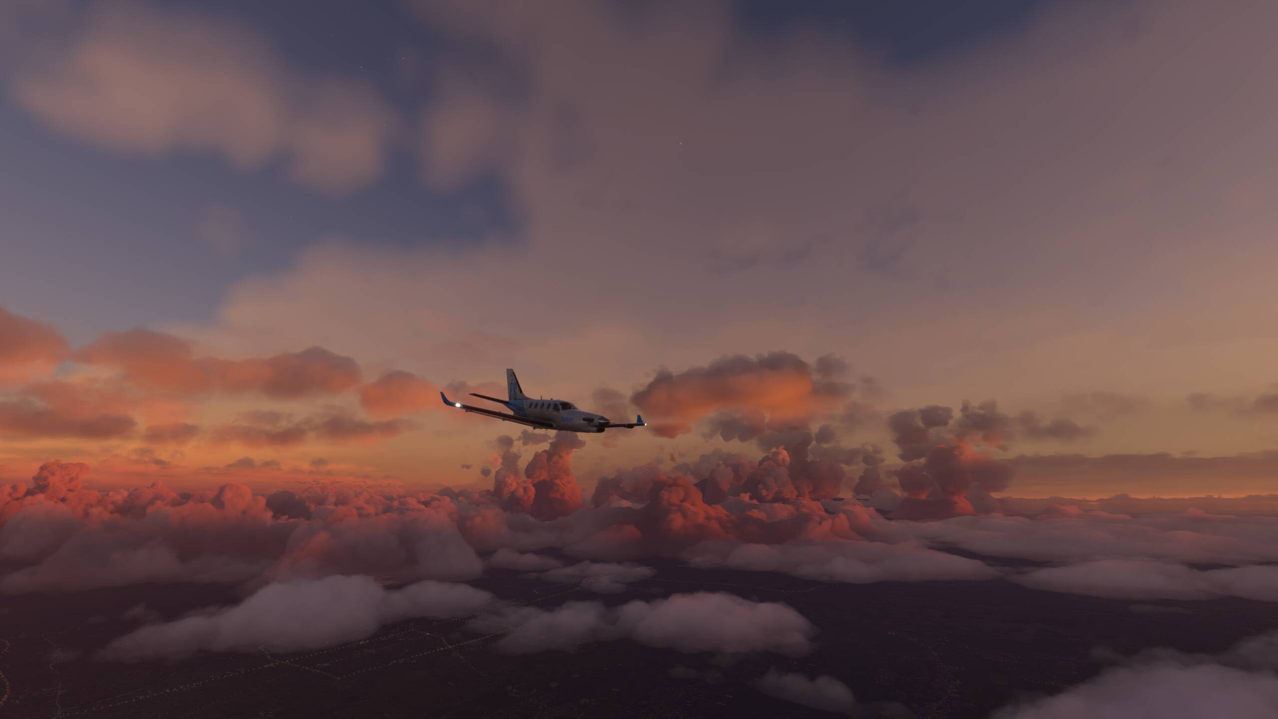
Climbing back up to 10,000 feet now to hopefully get above these low clouds and storms - but still pitch black, so climbing to 20,000 feet - should be just about sunset now, so wasn’t expecting it to be completely dark yet


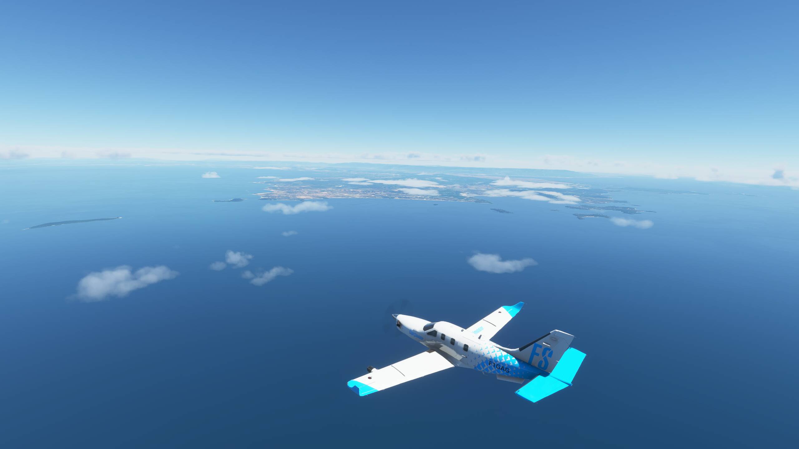
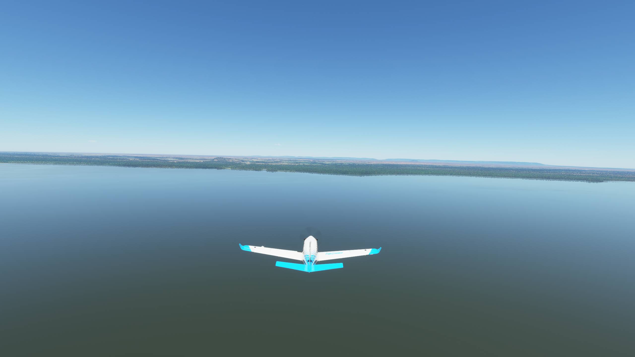
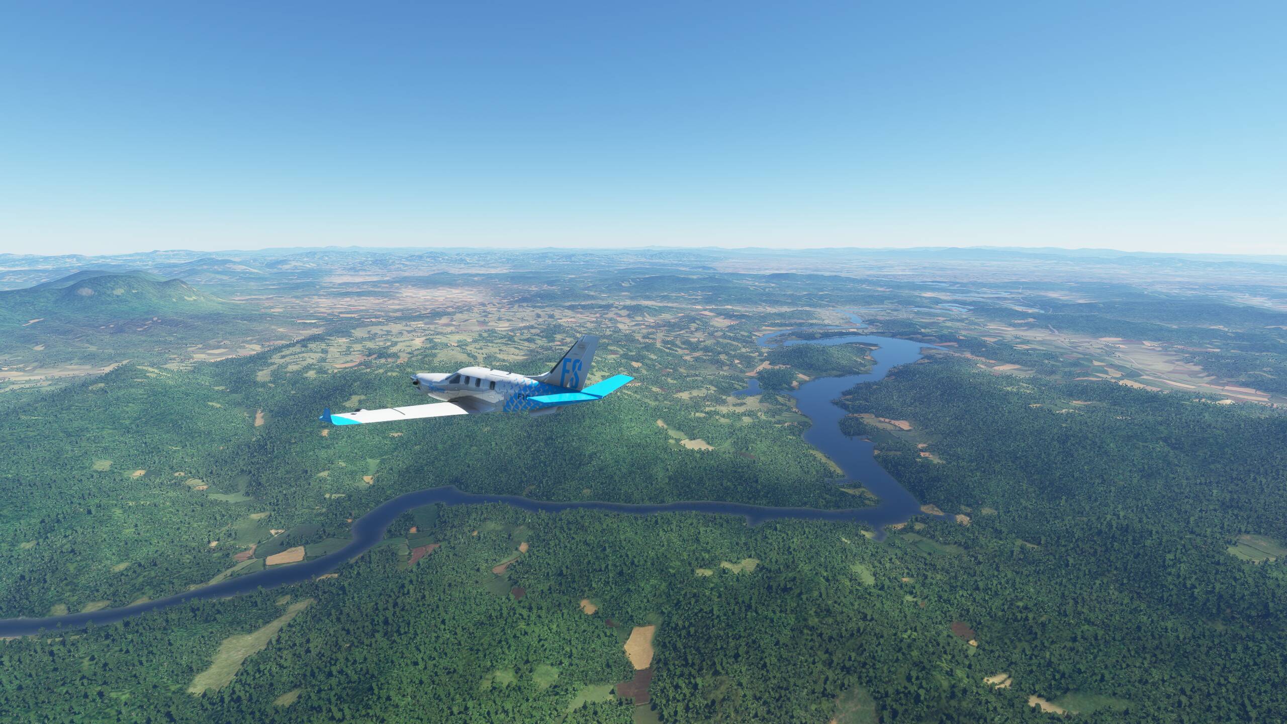
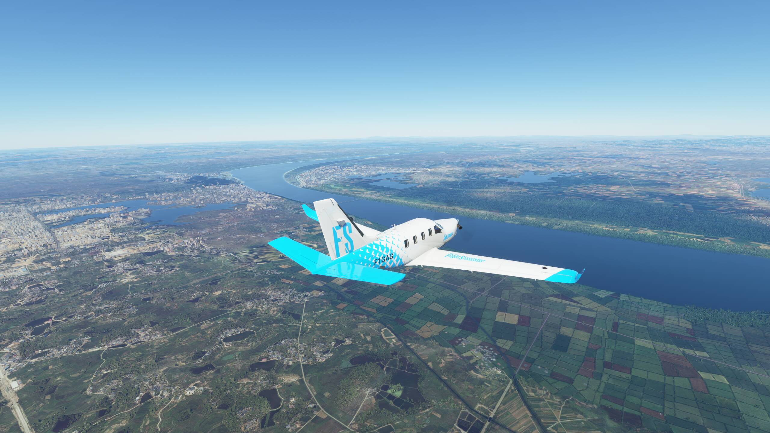
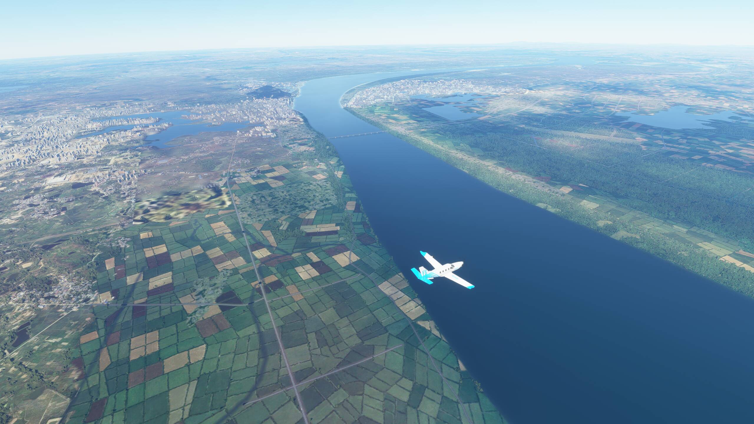
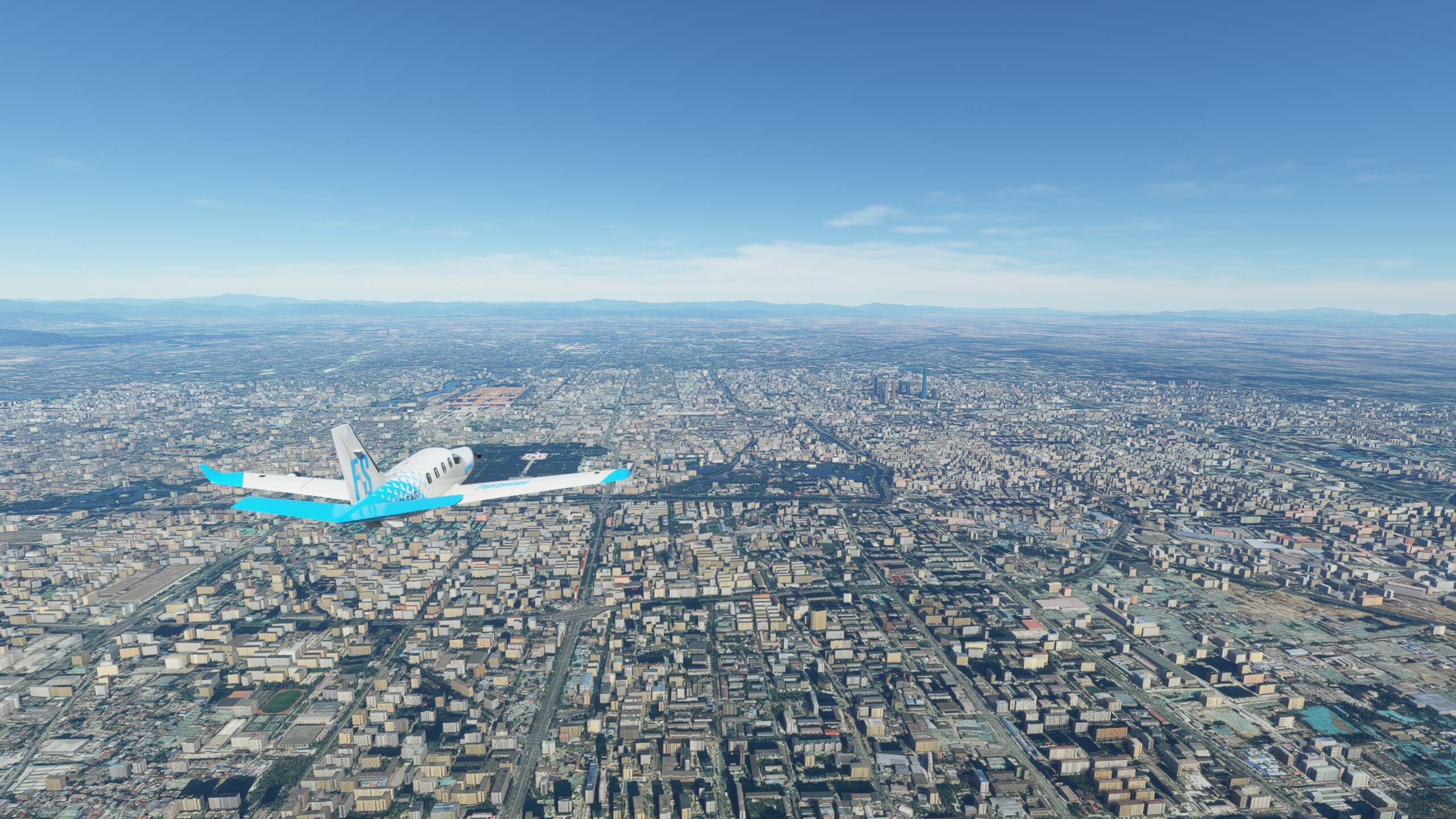
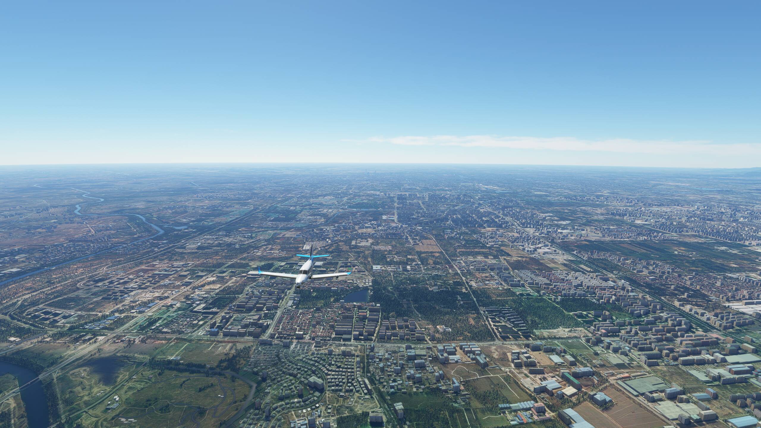
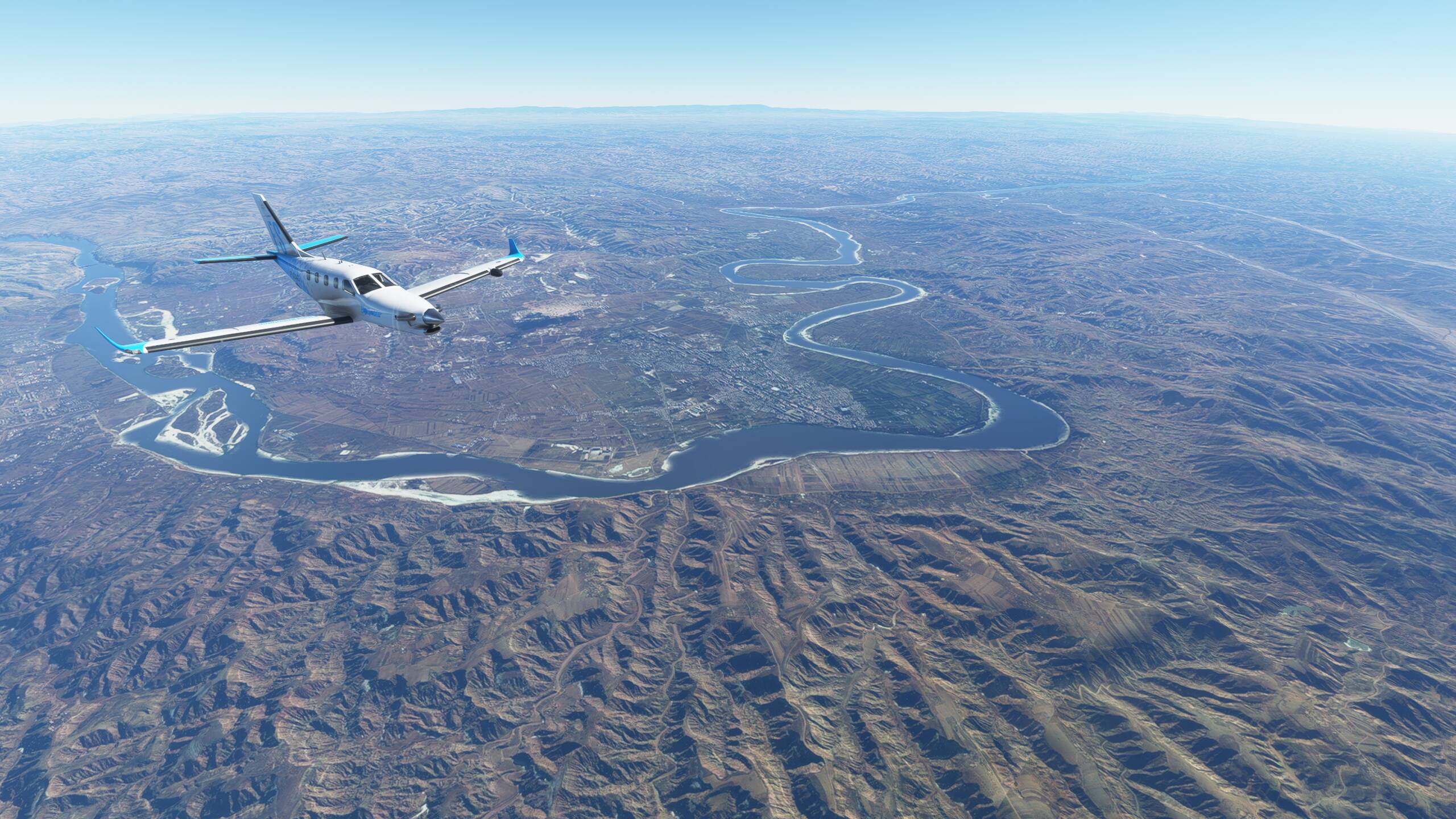
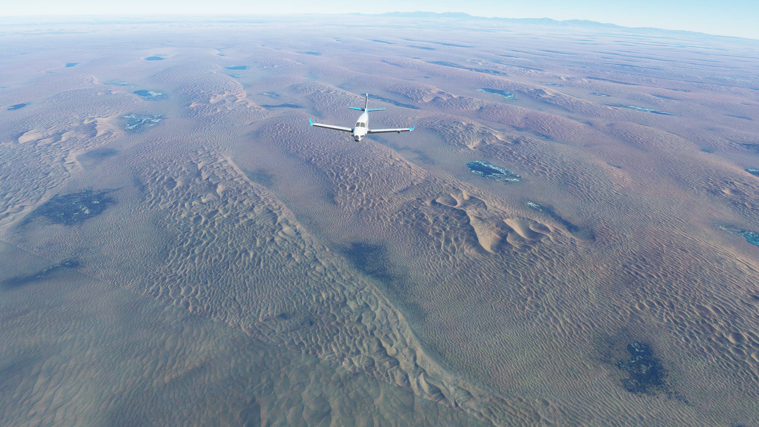
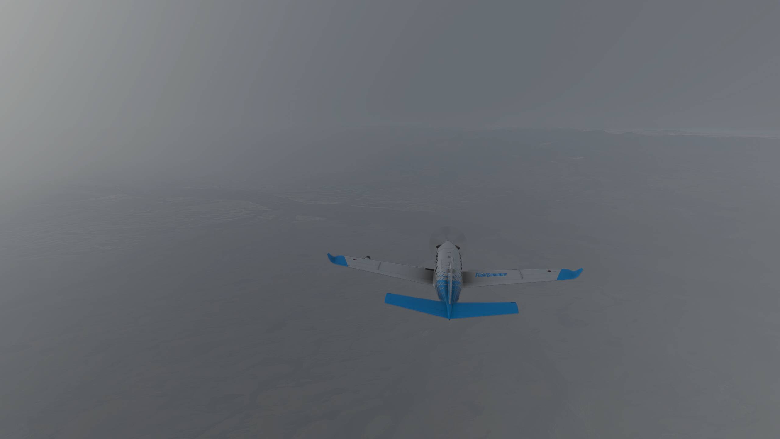
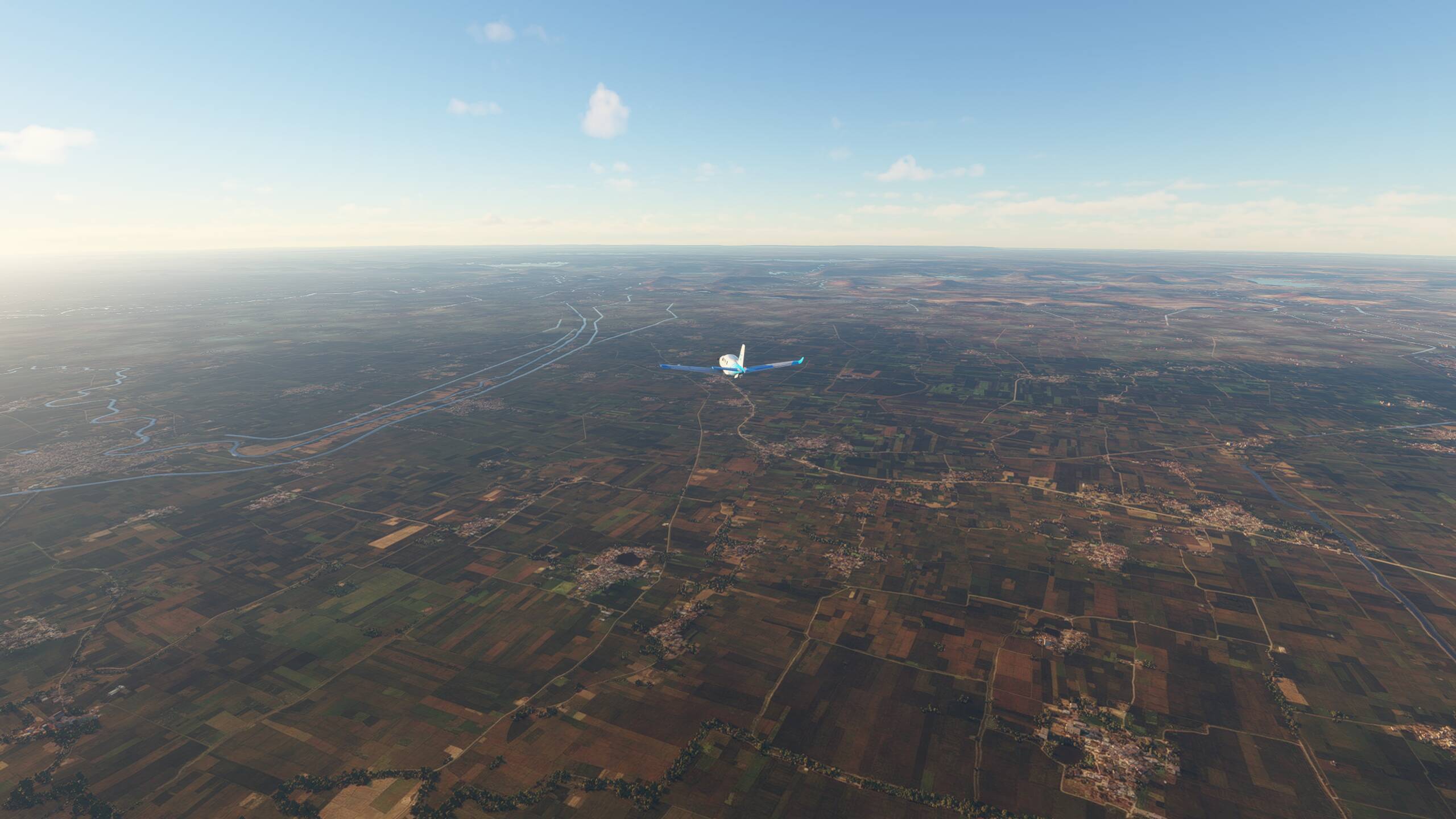
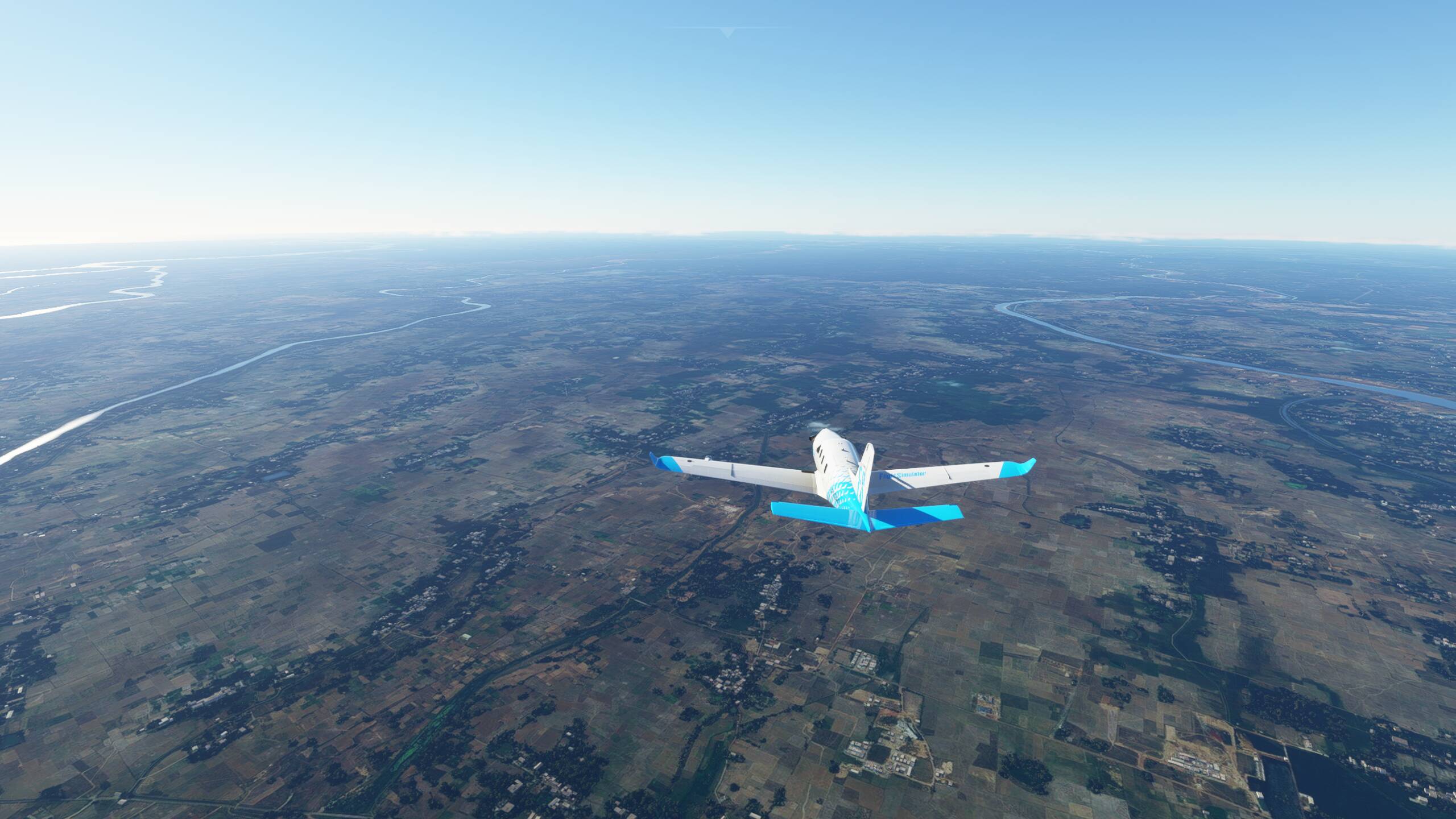
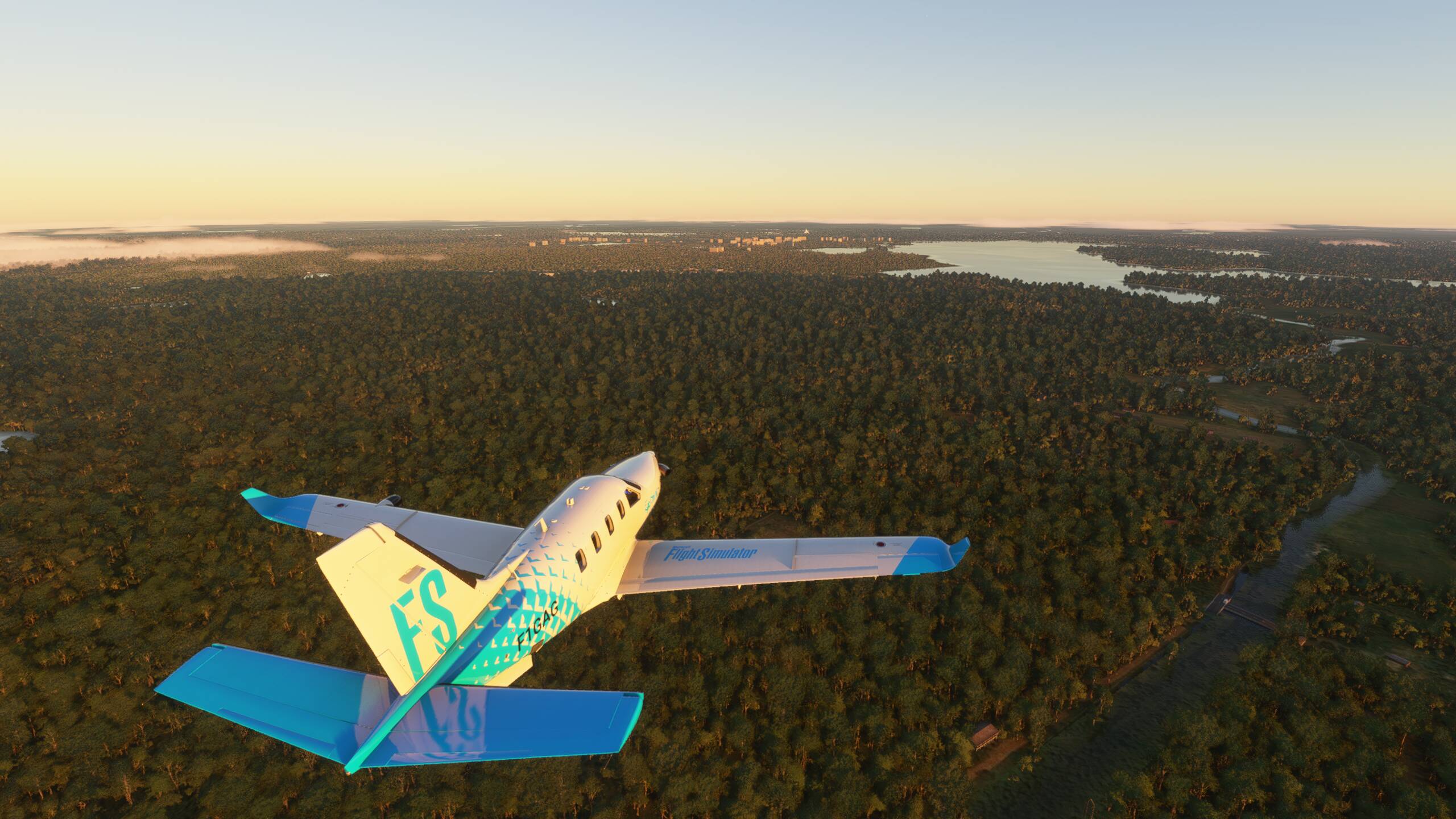
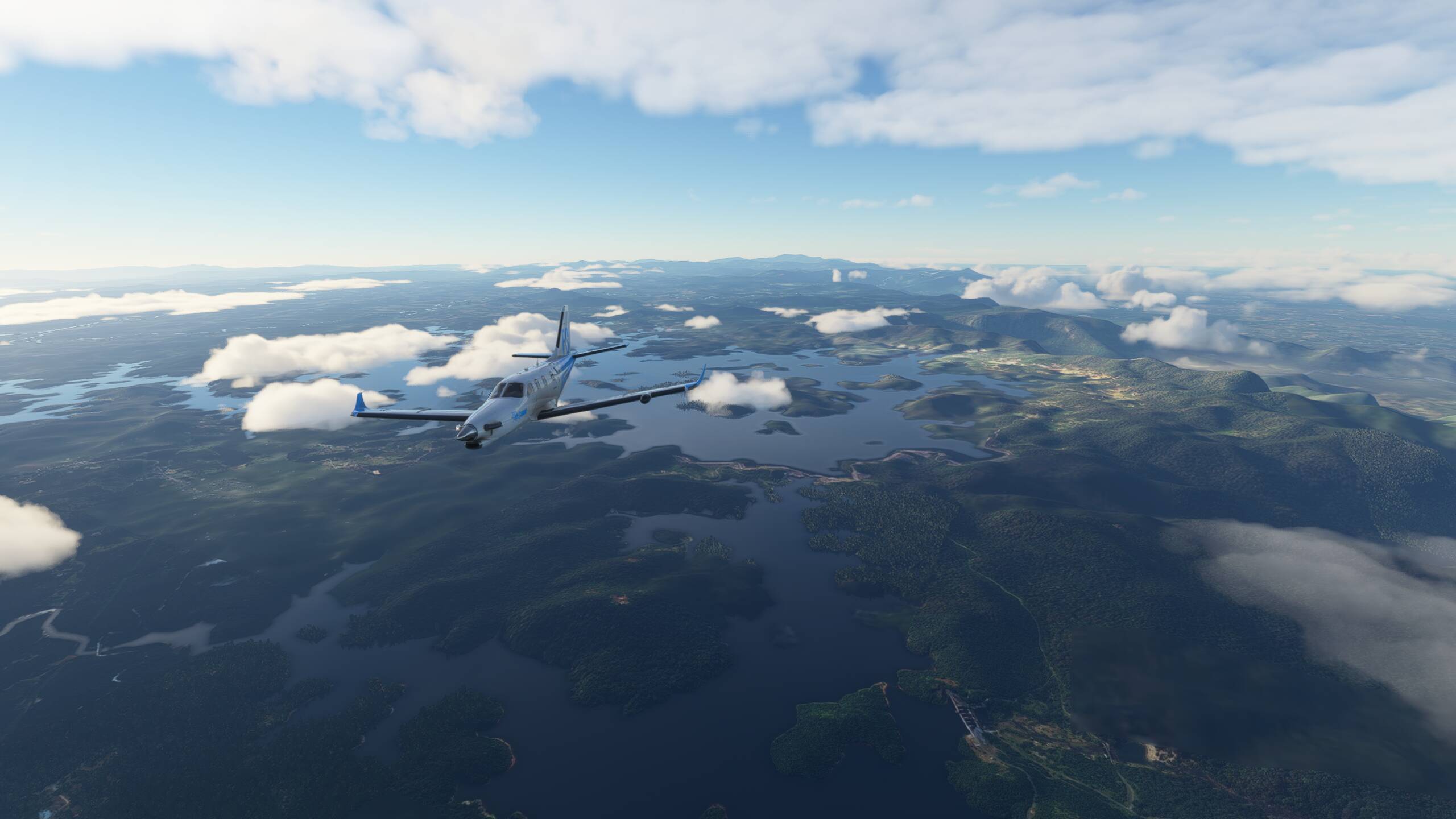
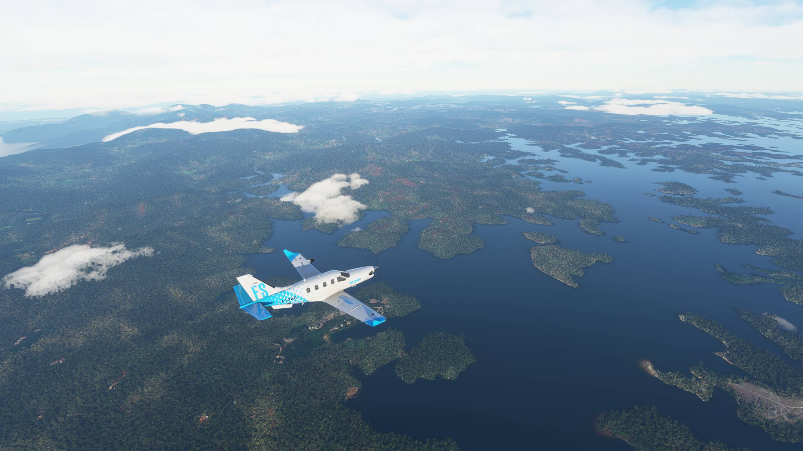
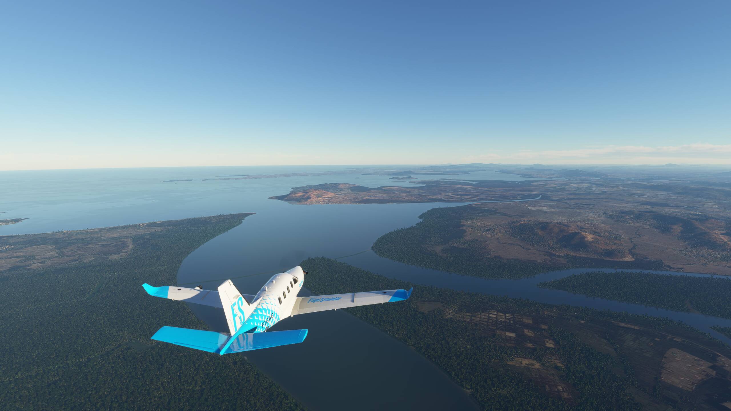
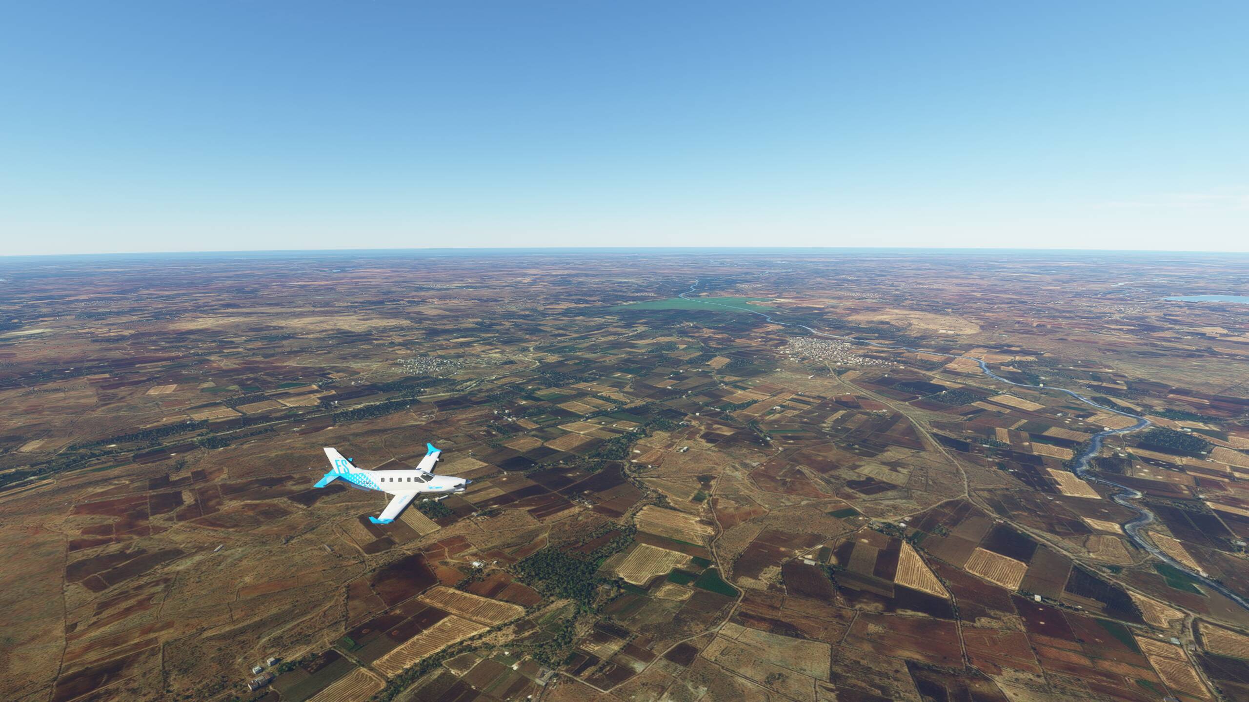
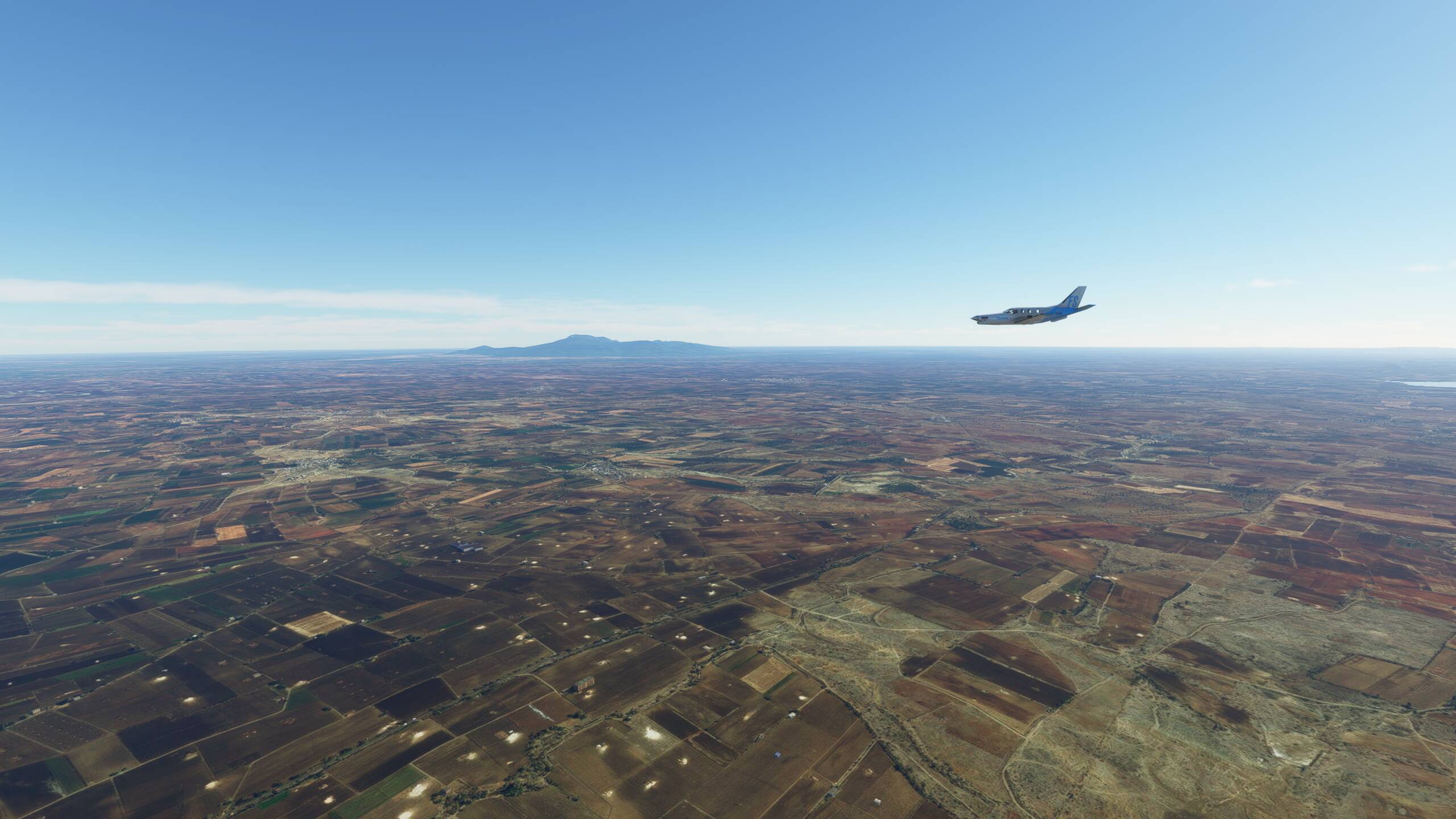
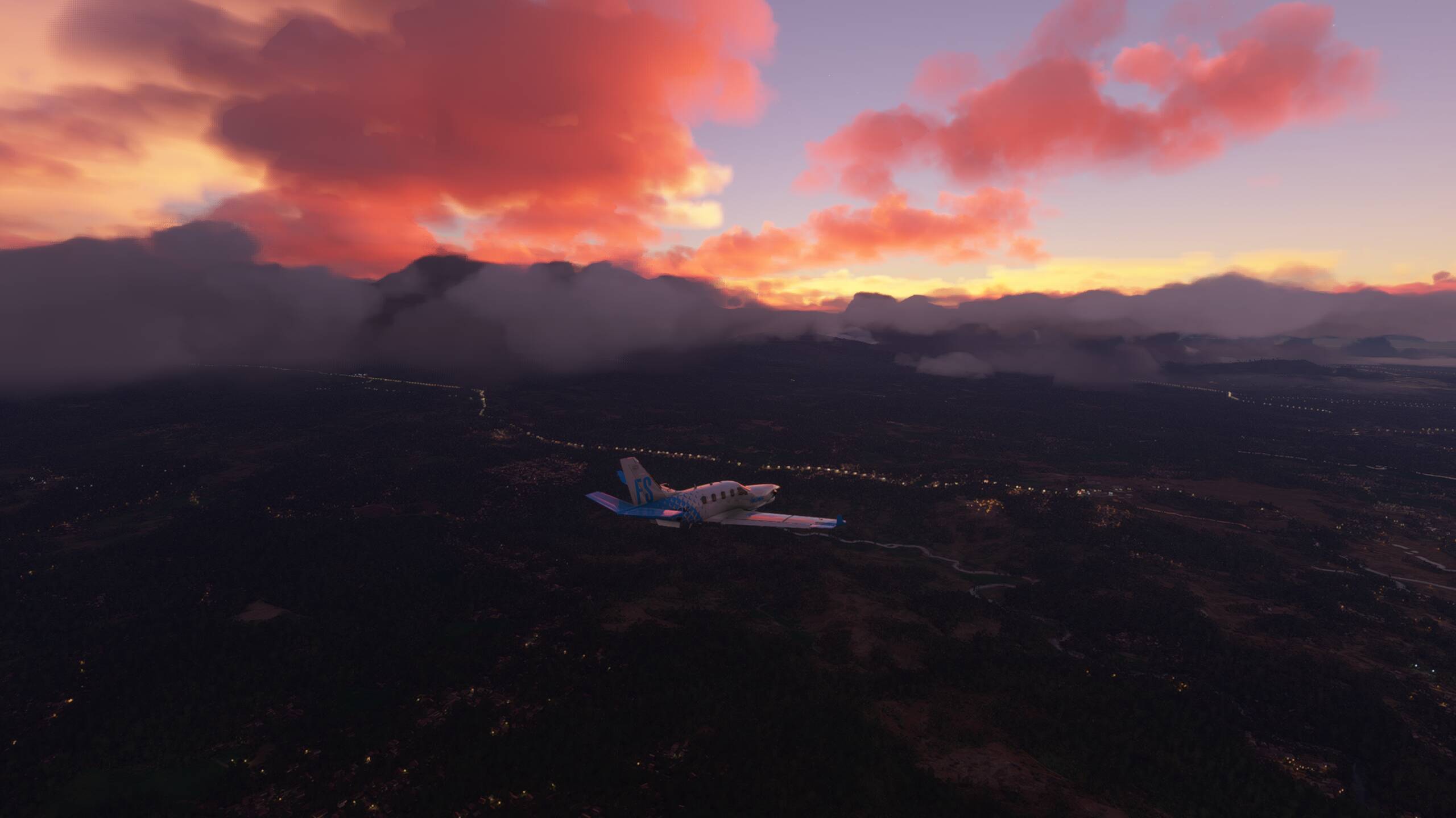
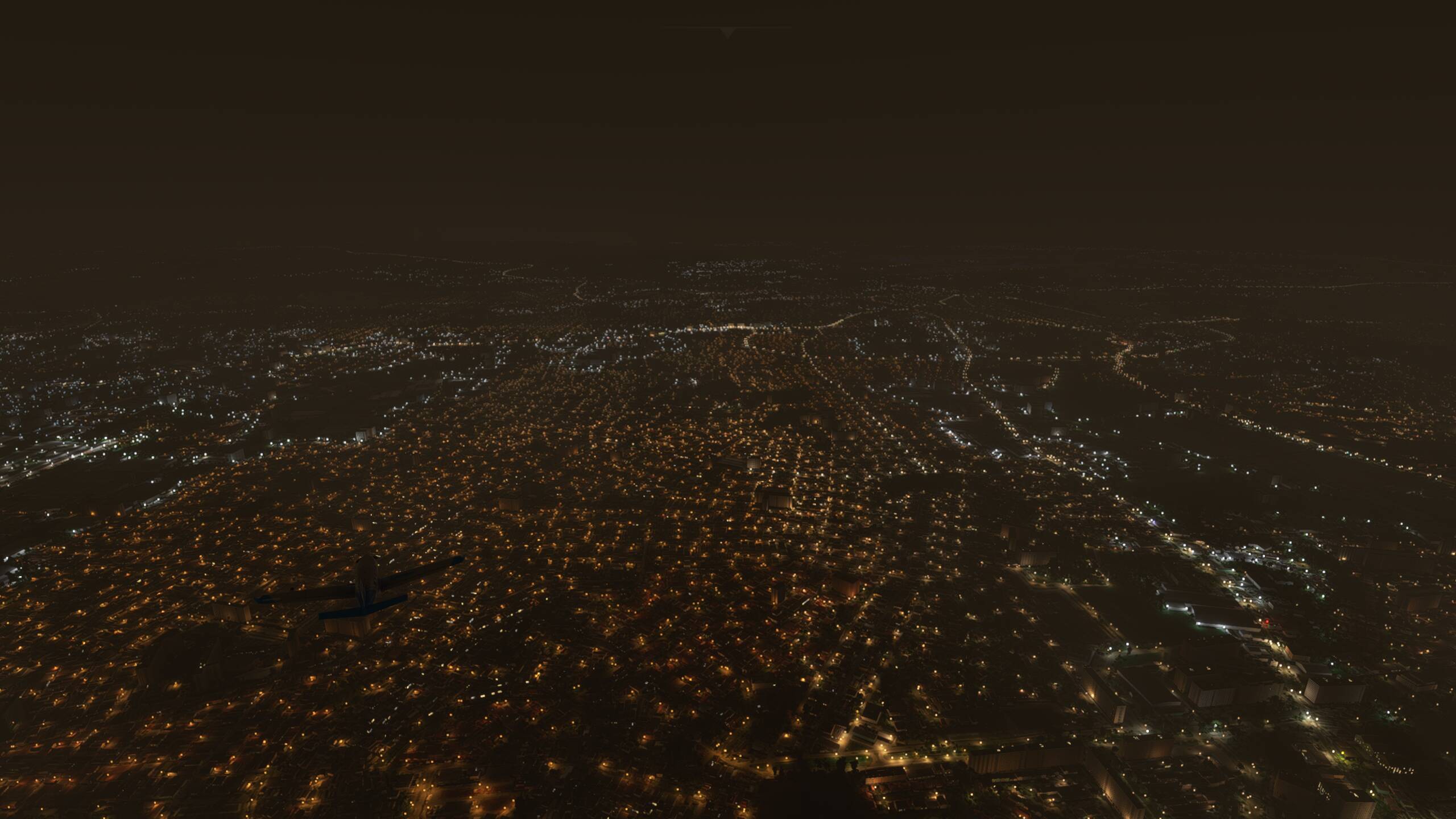
Flying over Sumatra in the dark - along the East Coast here, there isn’t much to see - just one highway flowing up the side of the island and the city of Palembang
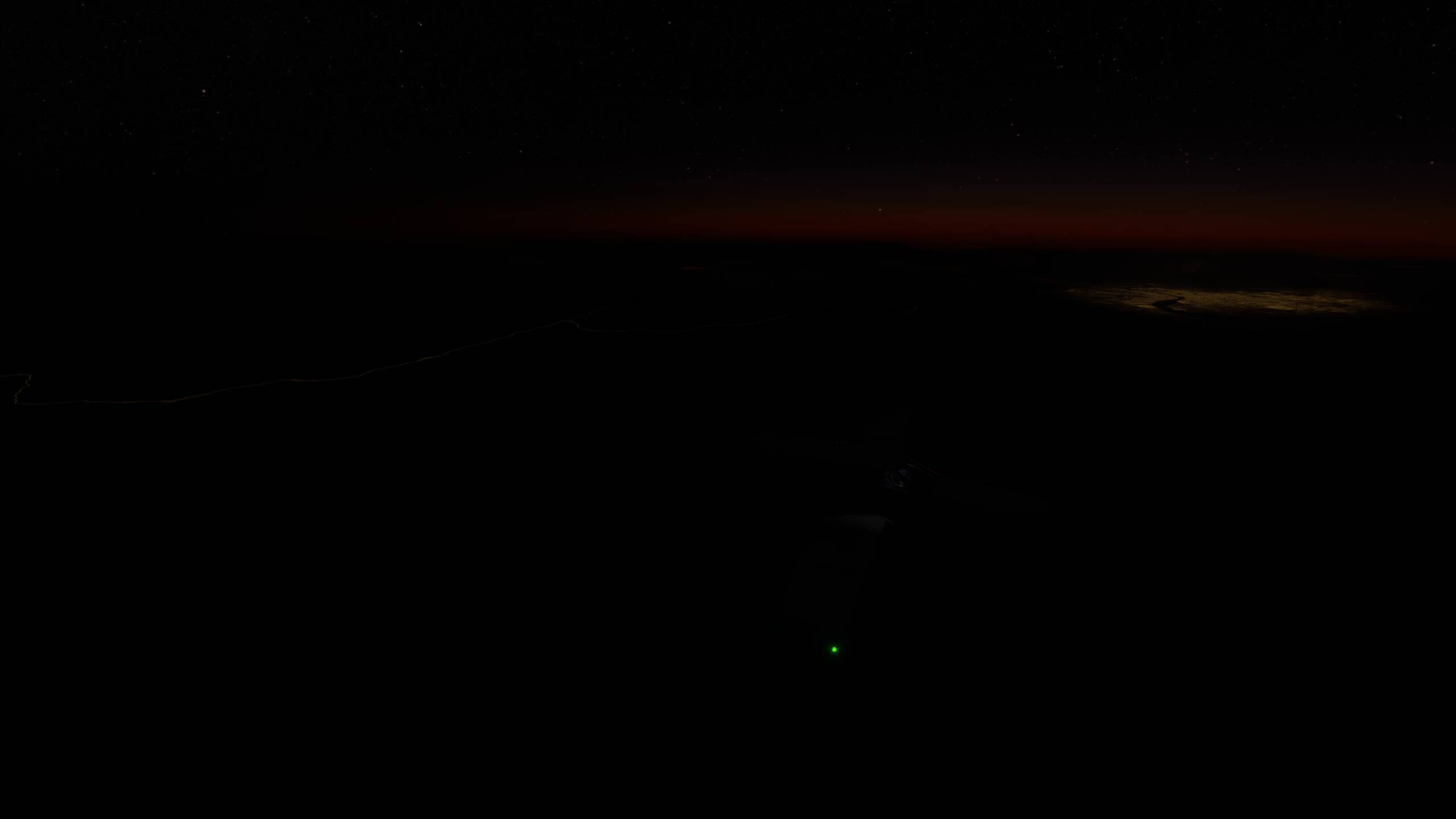
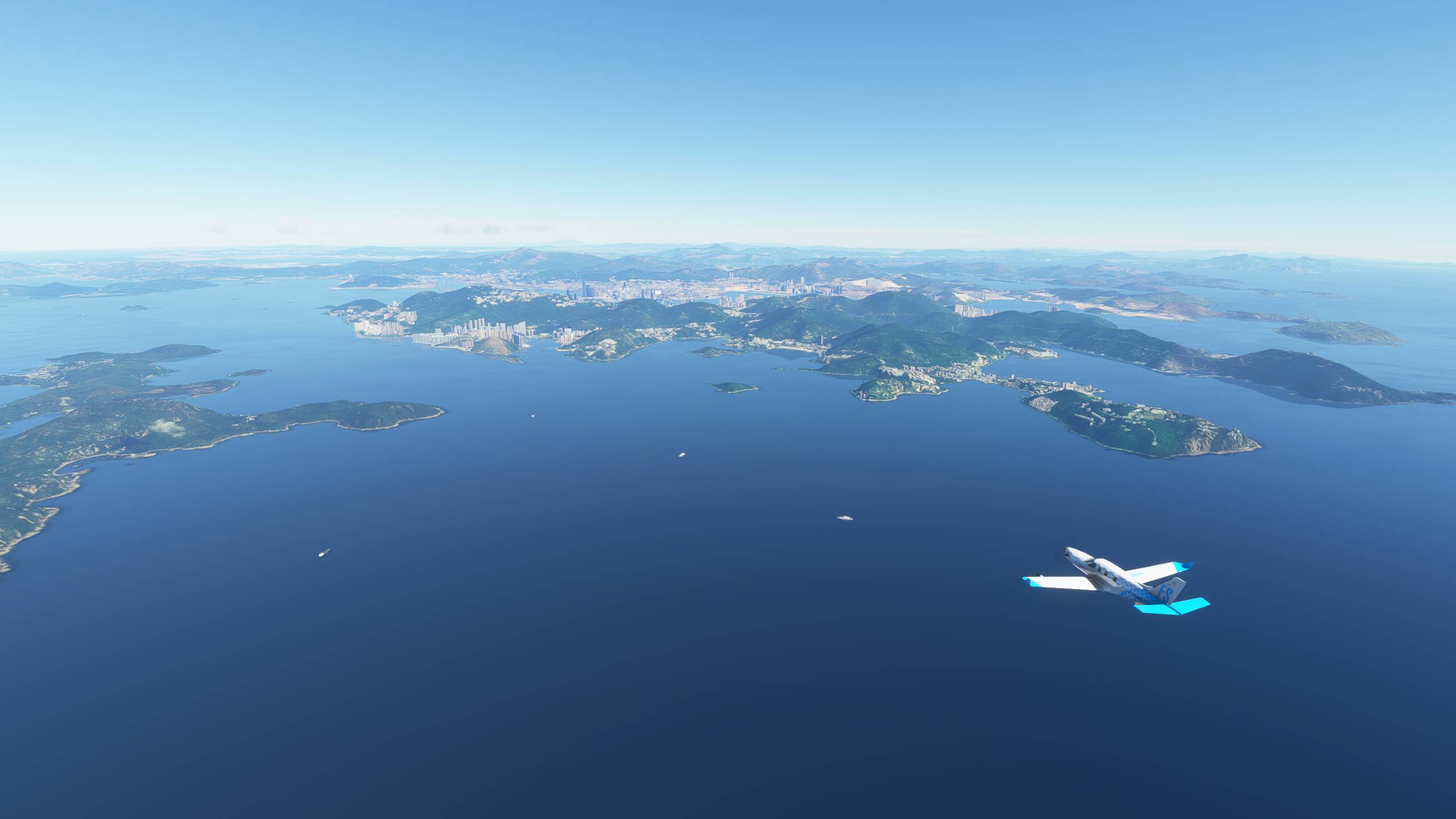
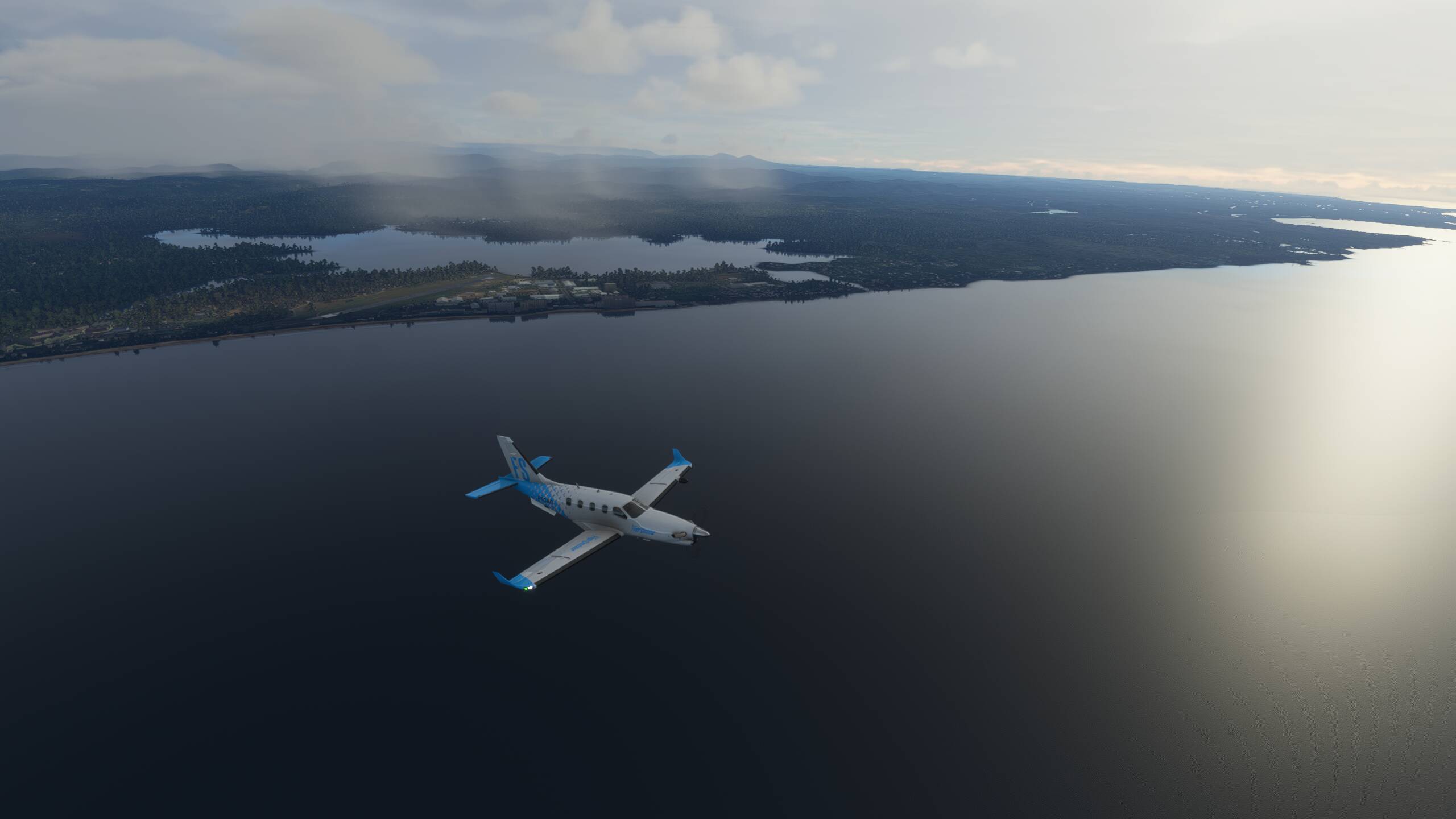
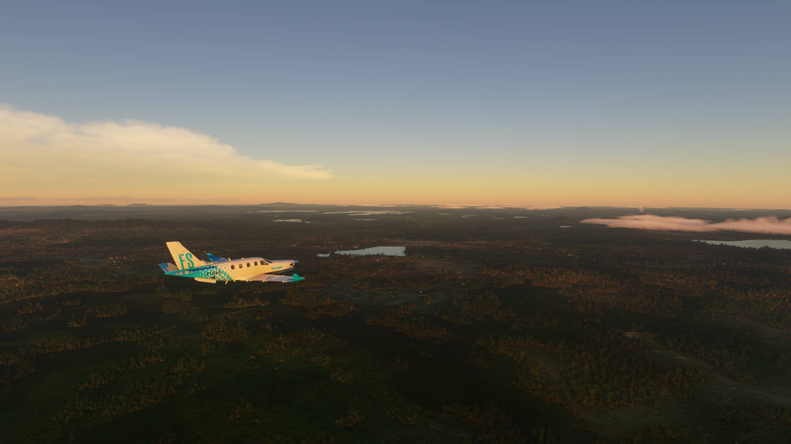
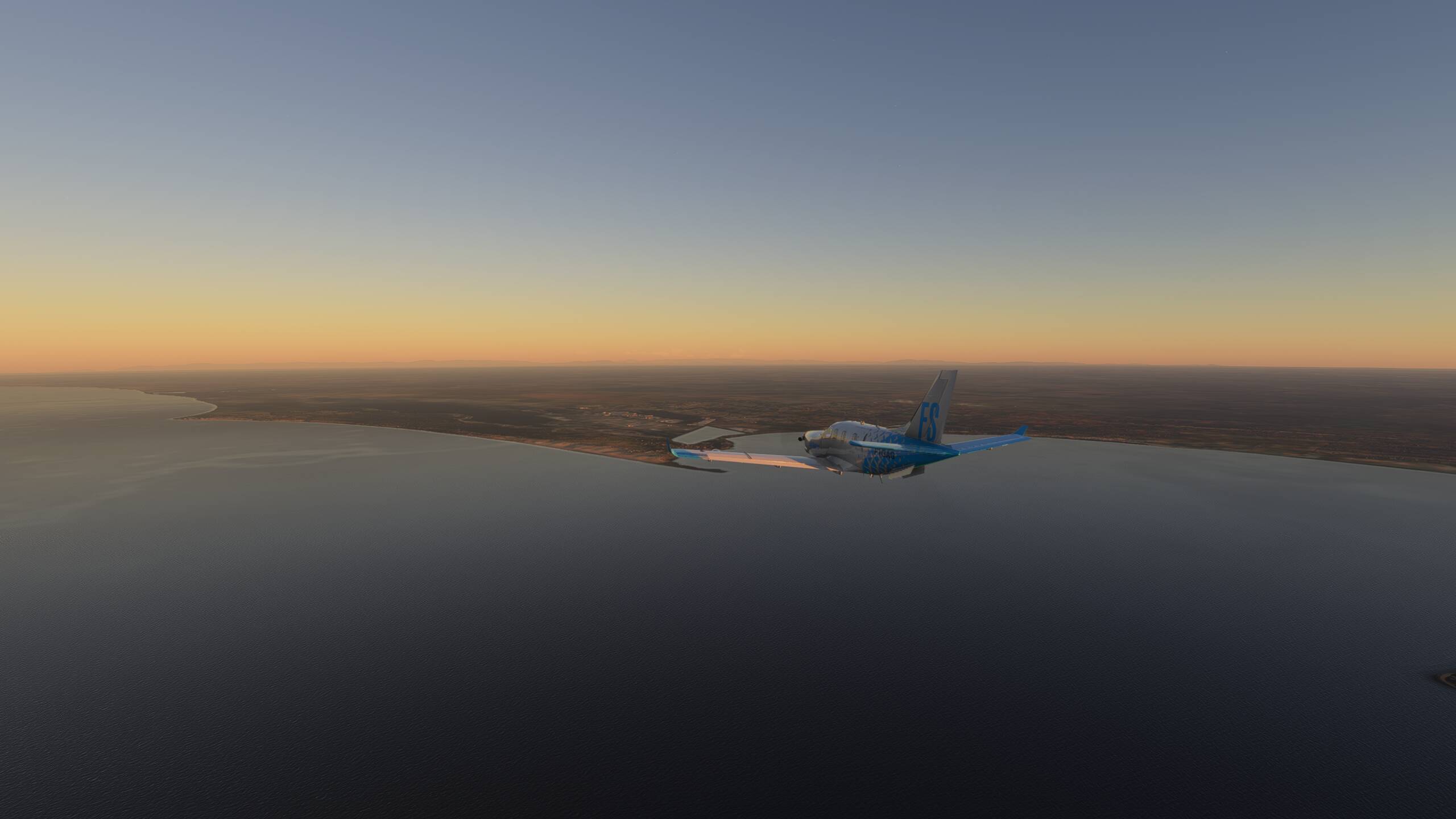
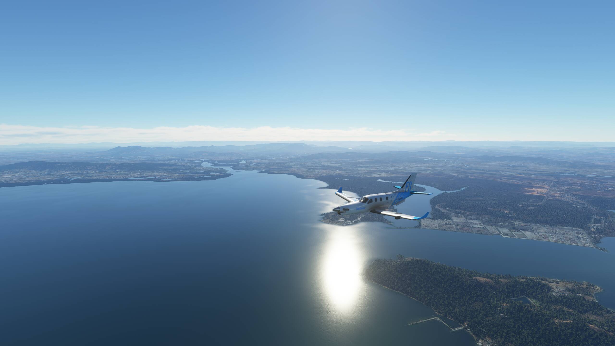
Maybe beginning to see the glow from Singapore on the distamt horizon

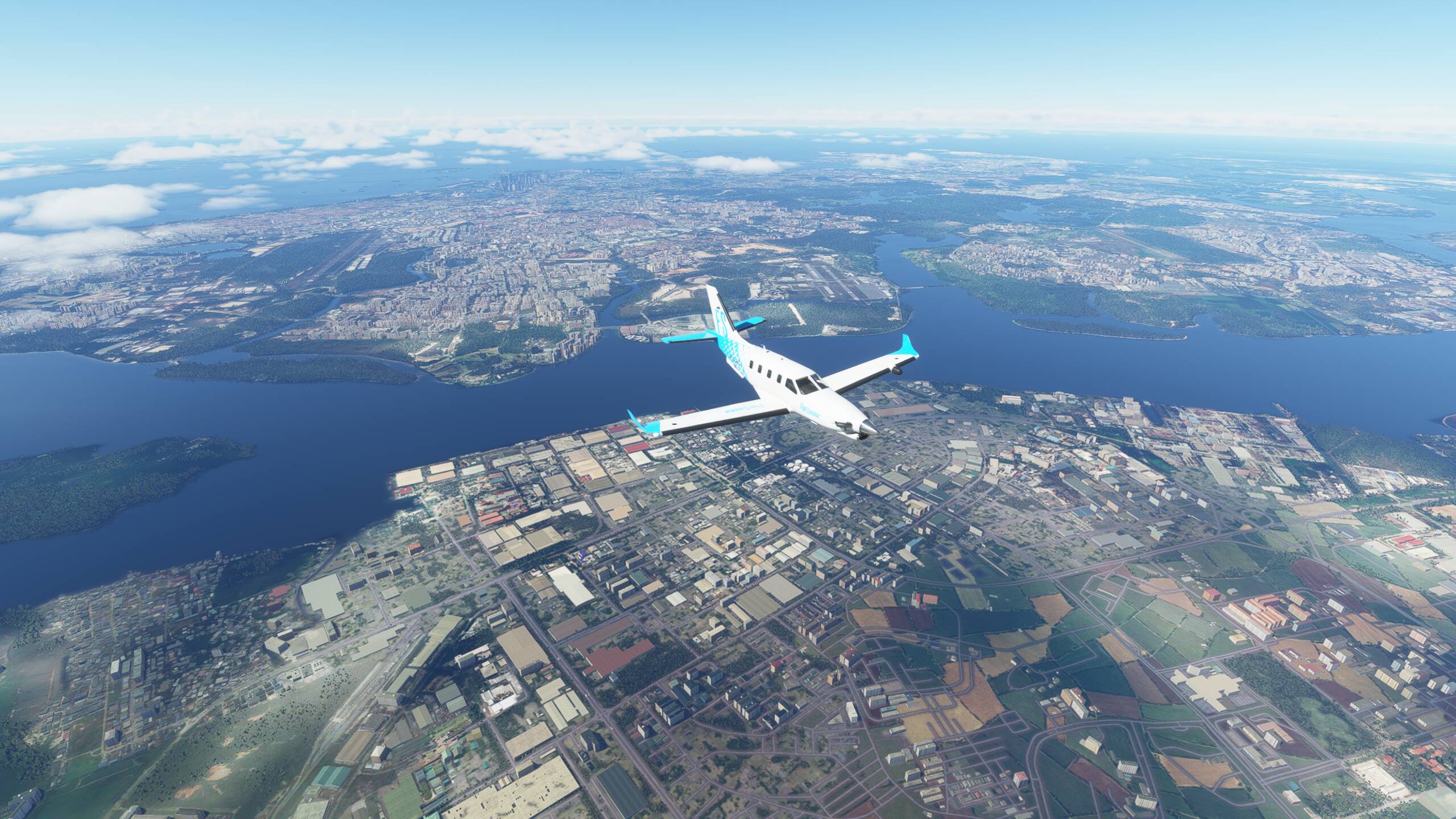
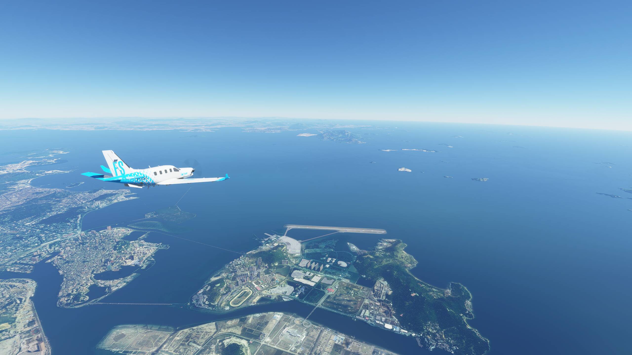
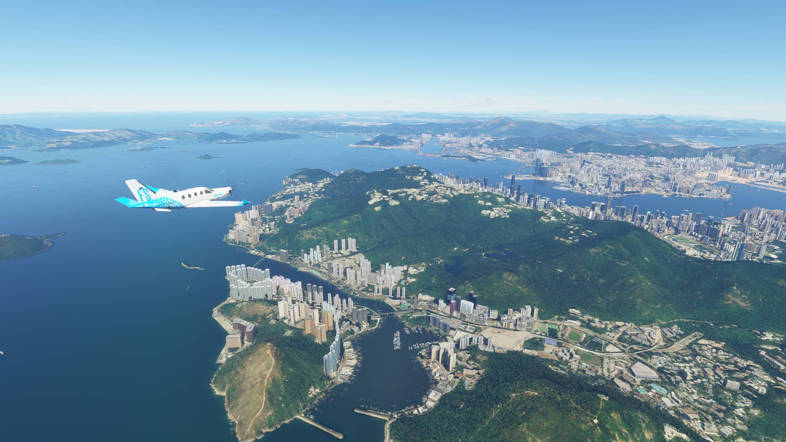
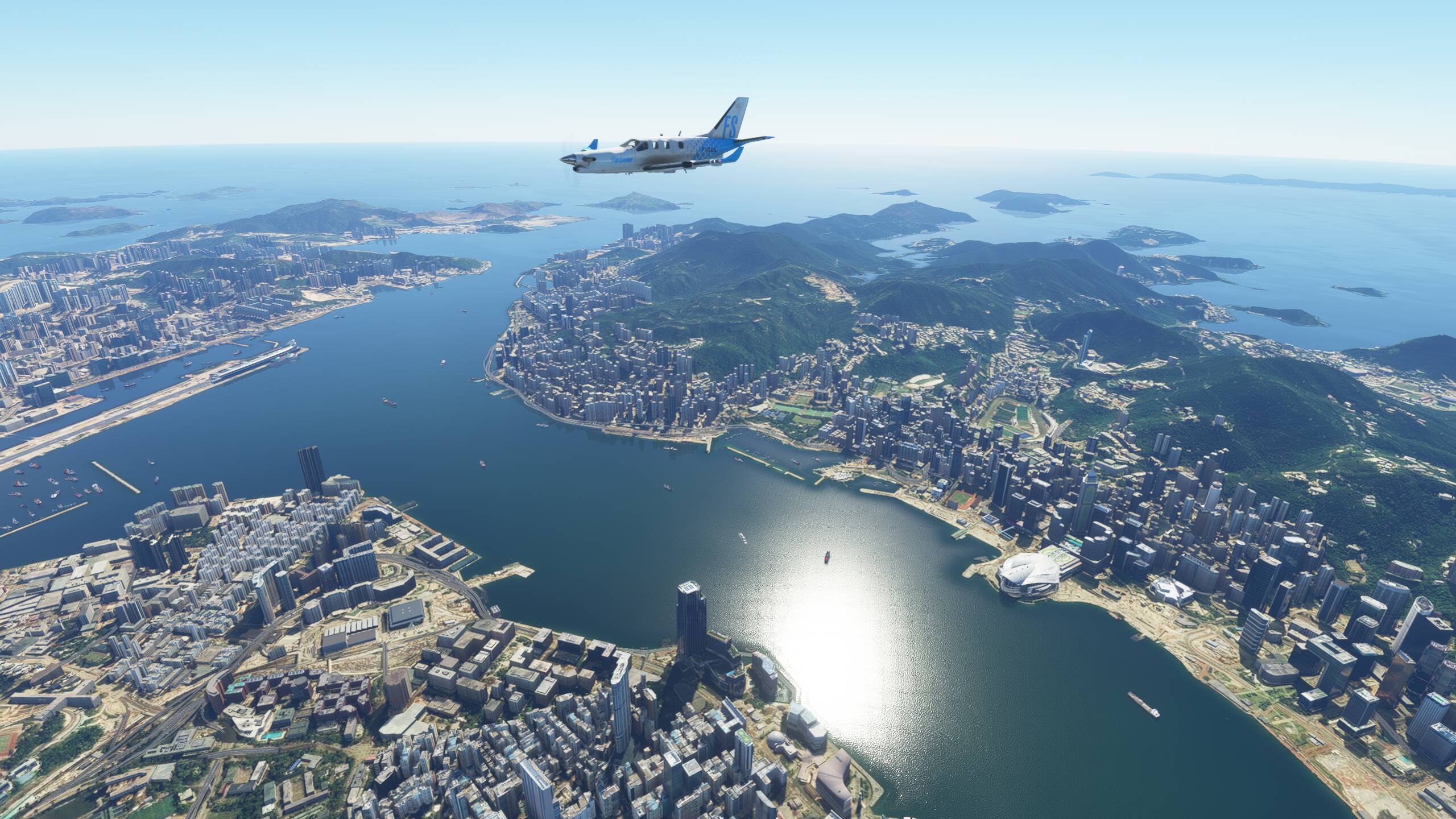
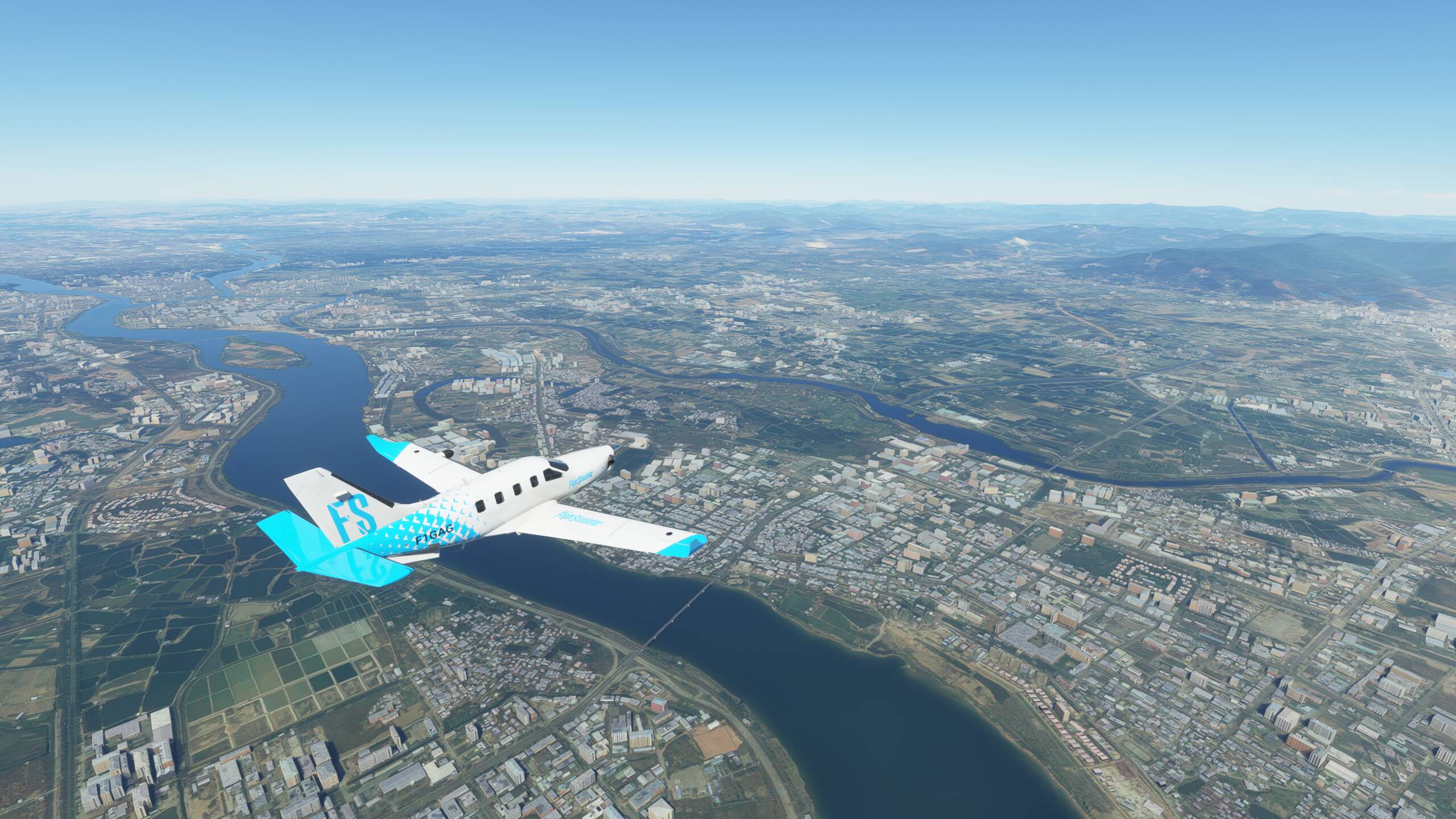
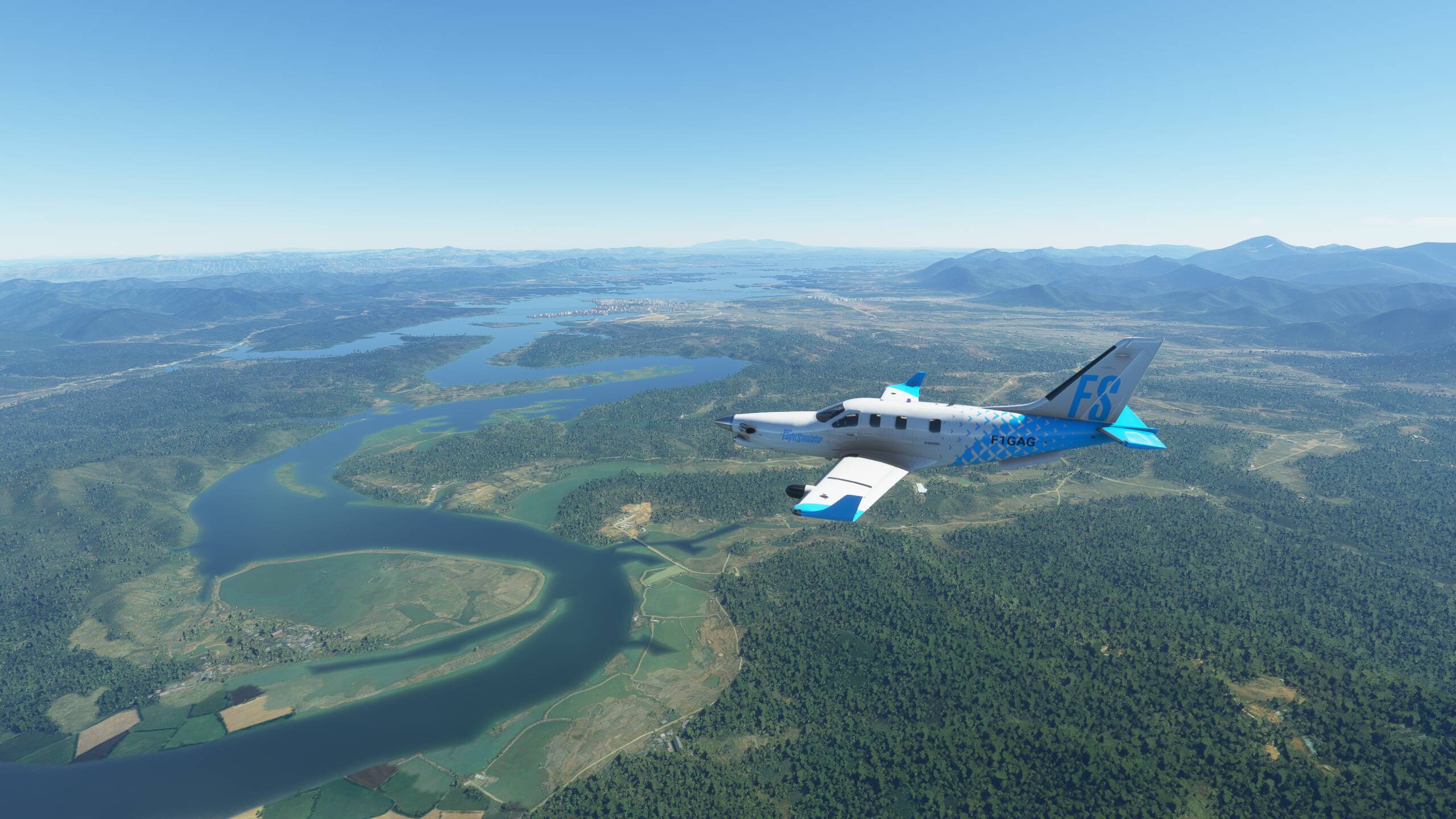
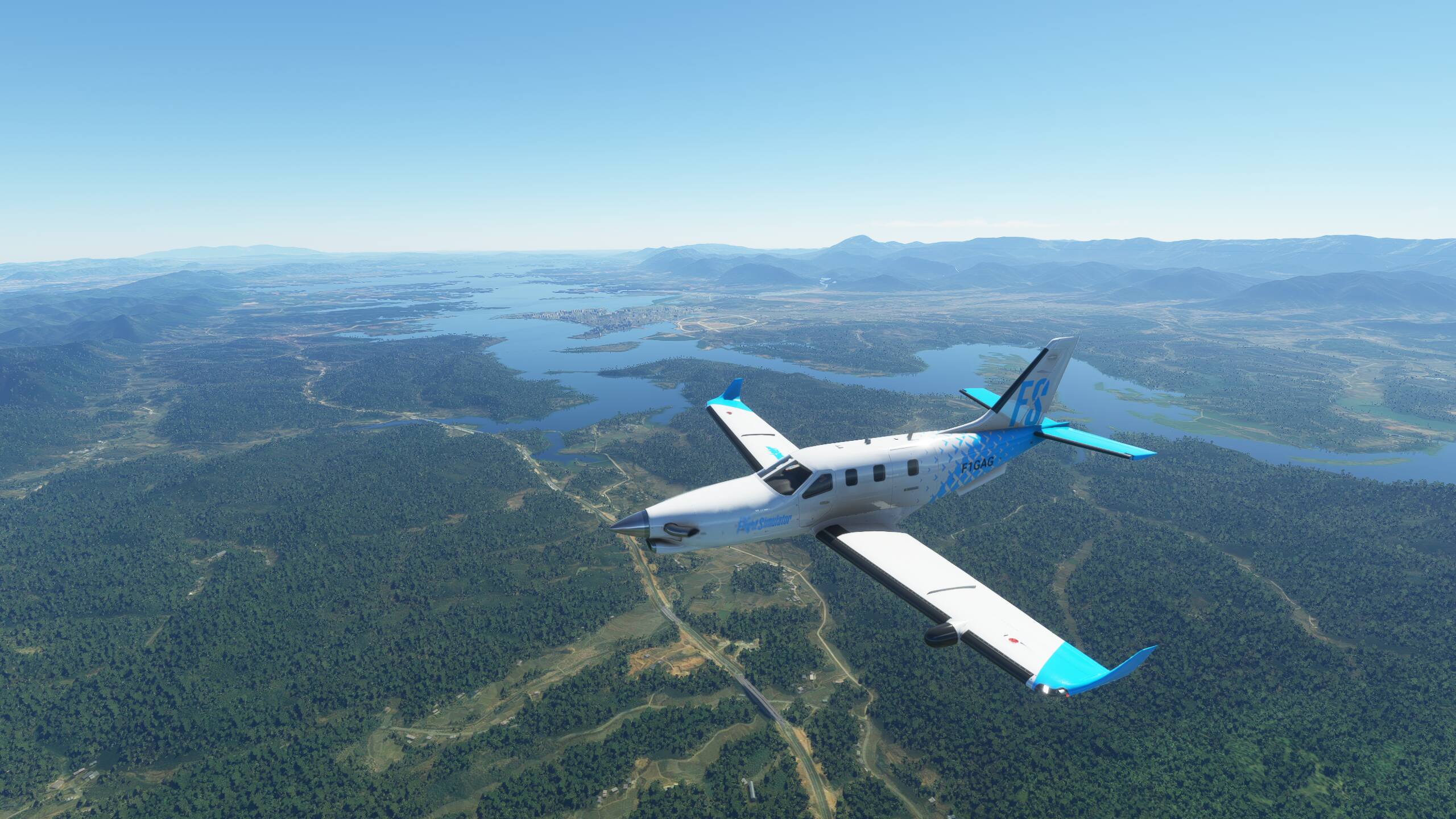
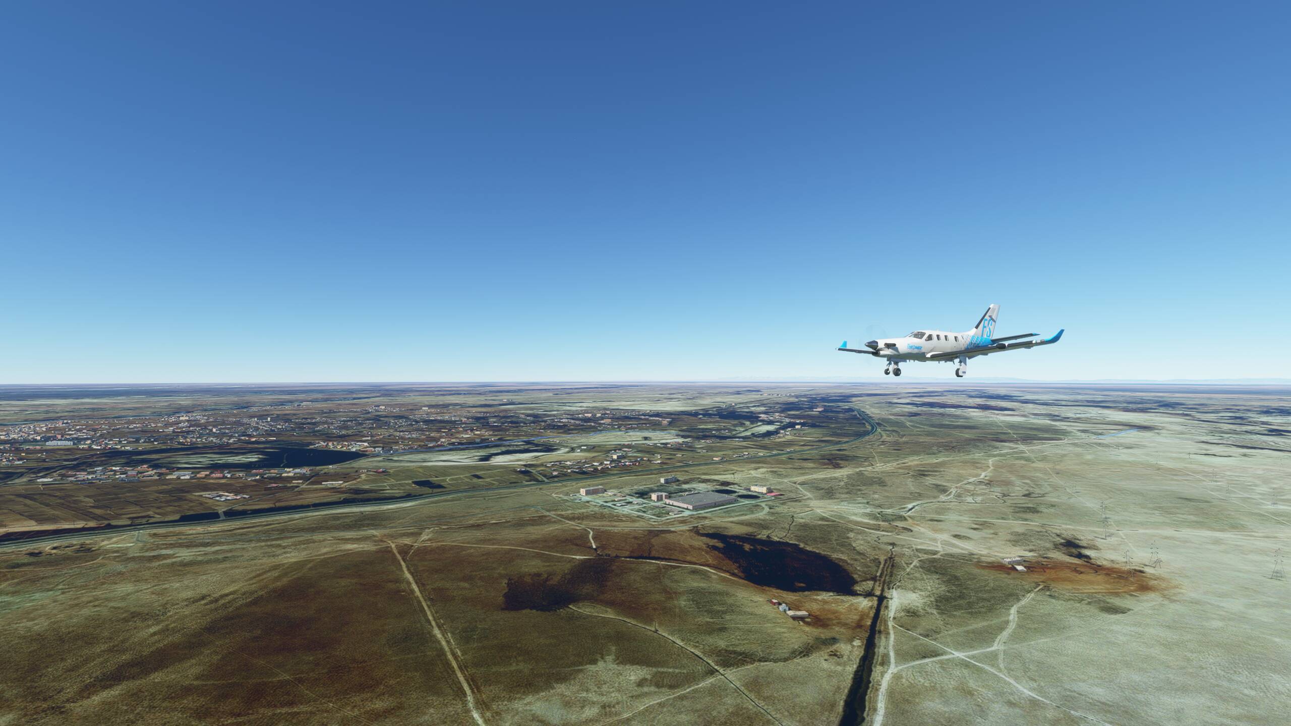
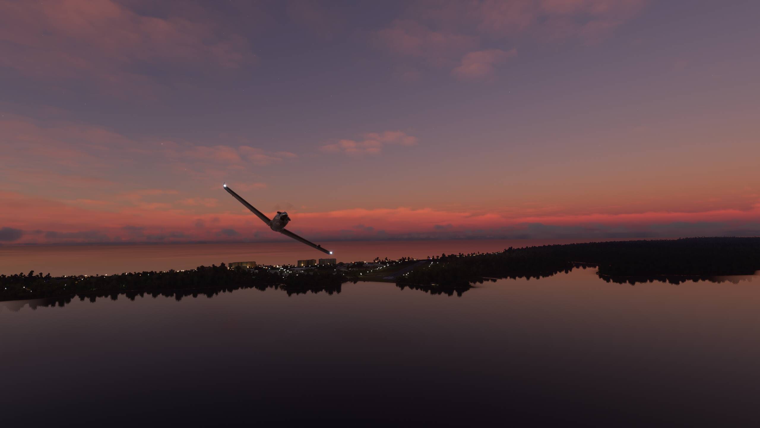
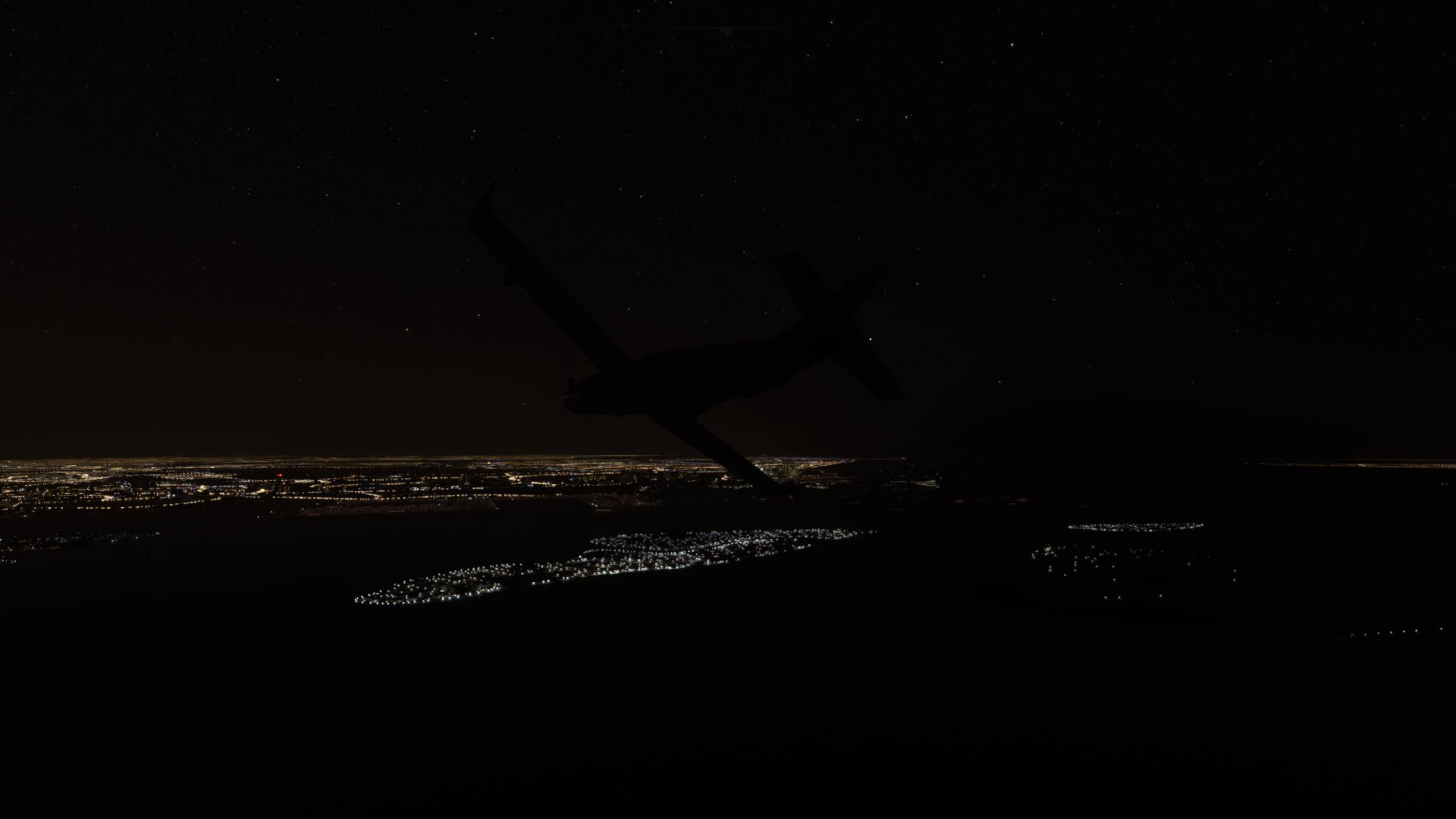
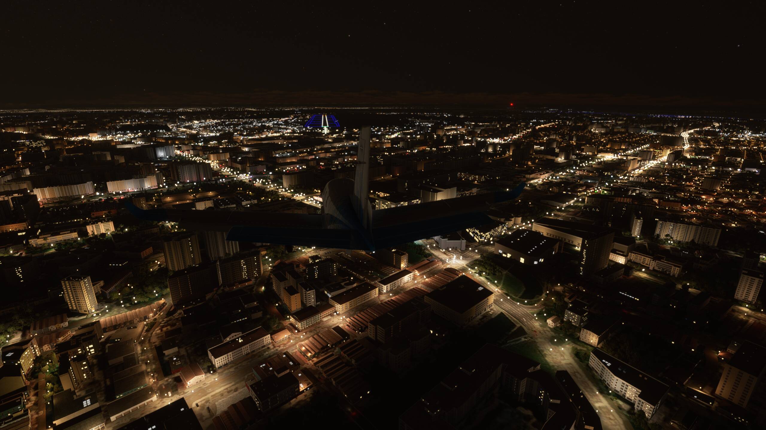
Beginning our descent towards Singapore. Our plan is to head a little West of the City and trun East over Pulau Sudong Military Airtsrip. This is on a small island of Sudong, which is basically just the airstrip. This should take us to the start of the approach to runway 02 at Paya Lebar, flying along the waterfront of the city and then descending down over the city itself.
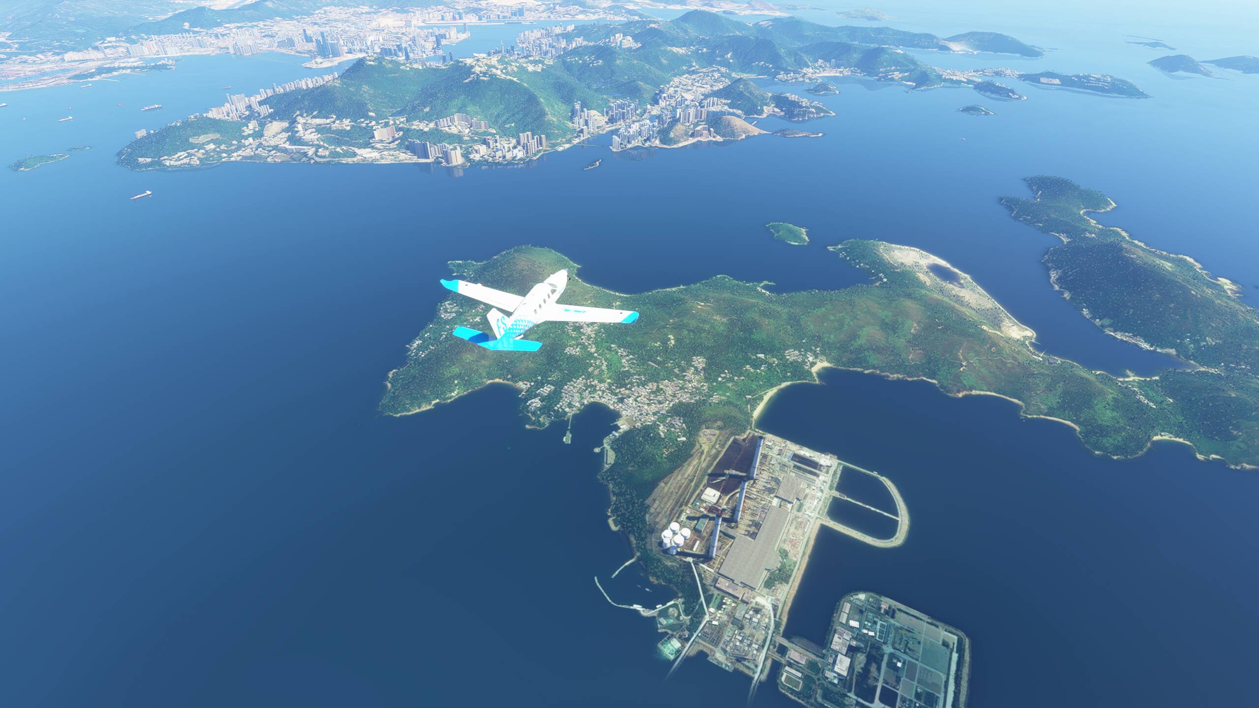
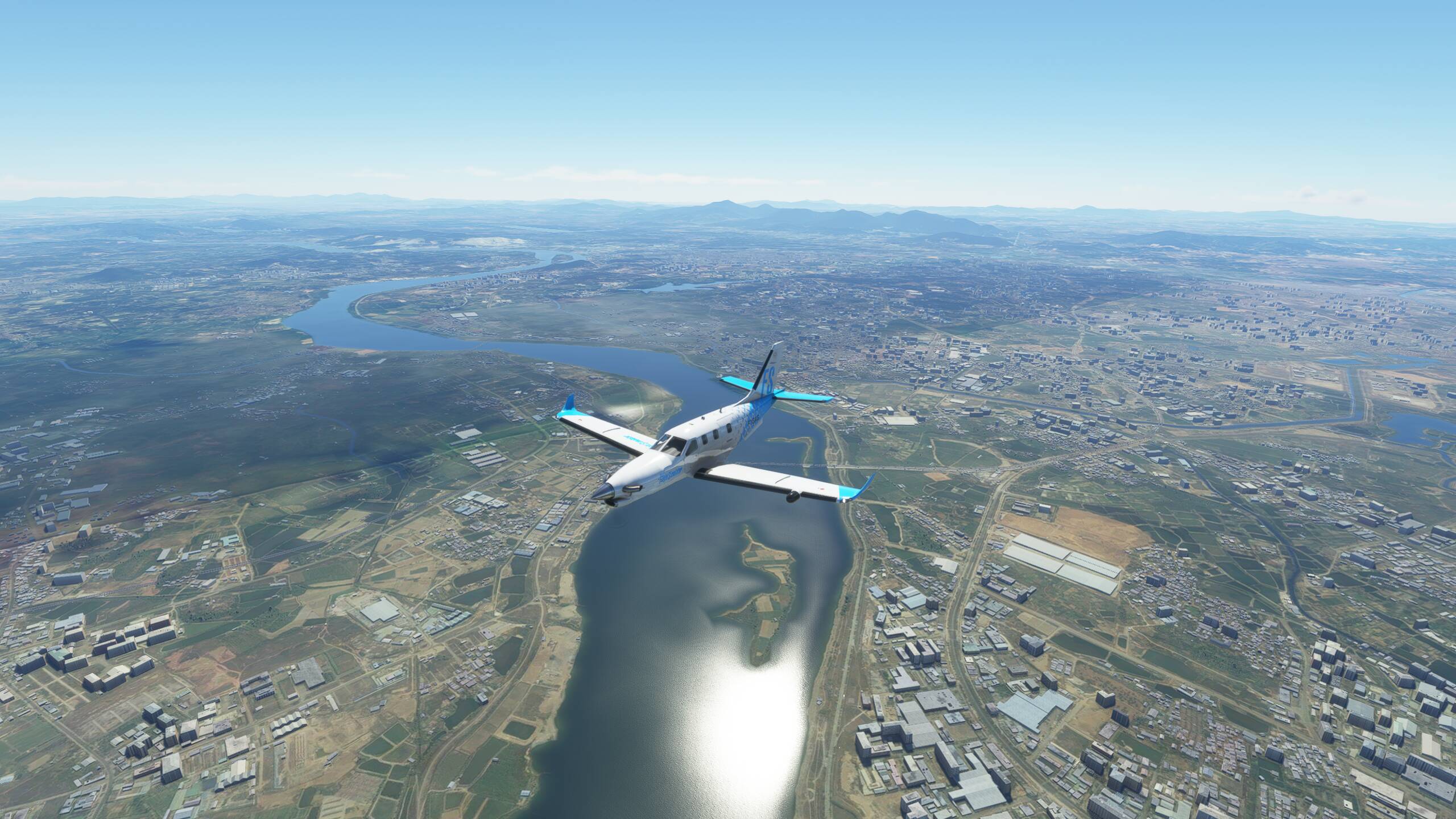
Closing in on Sudong and the lights of Singapore lighting up the sky


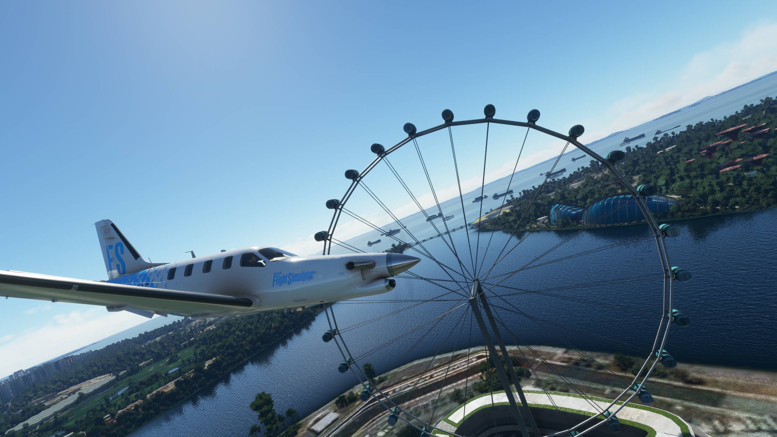
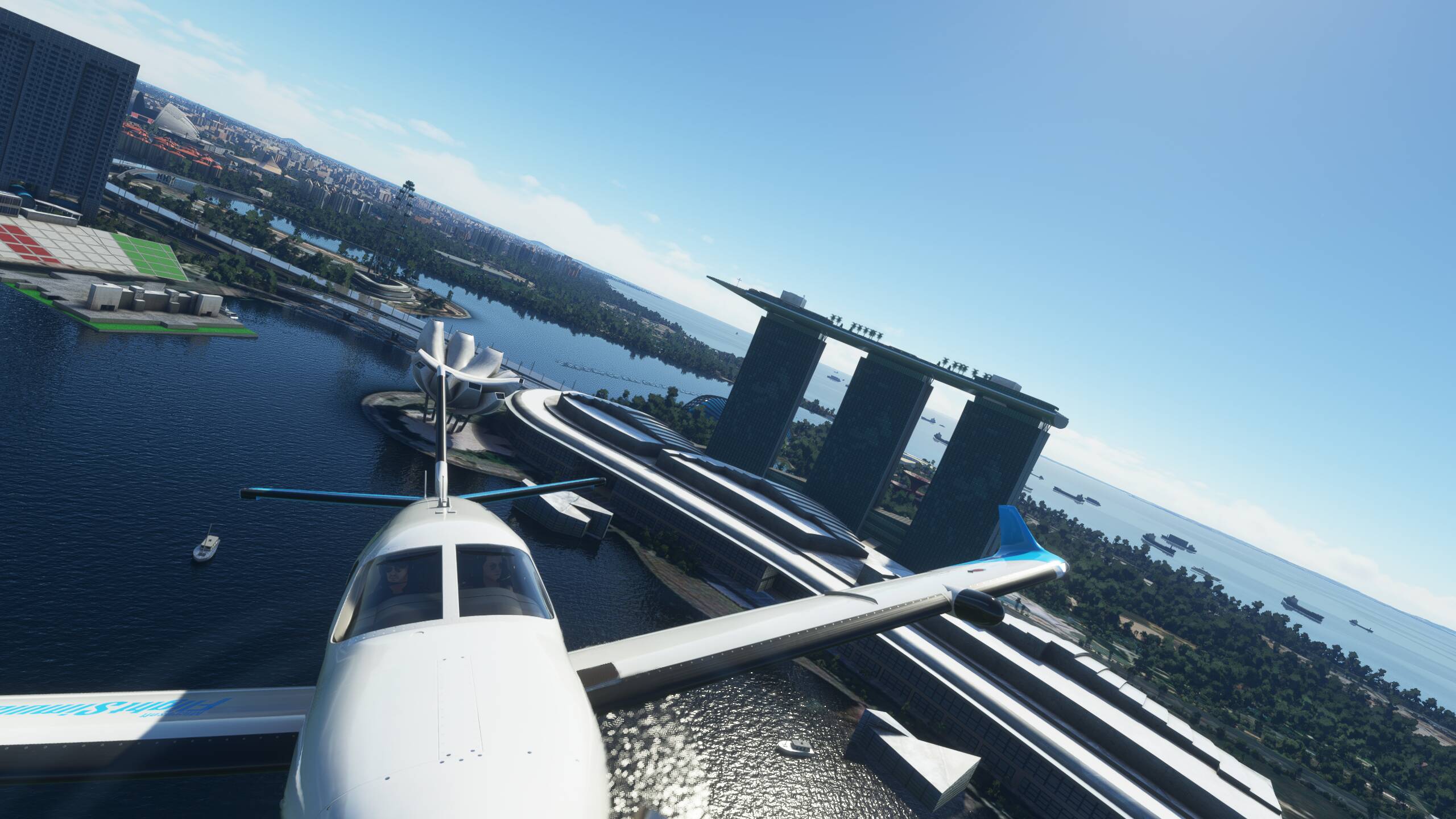
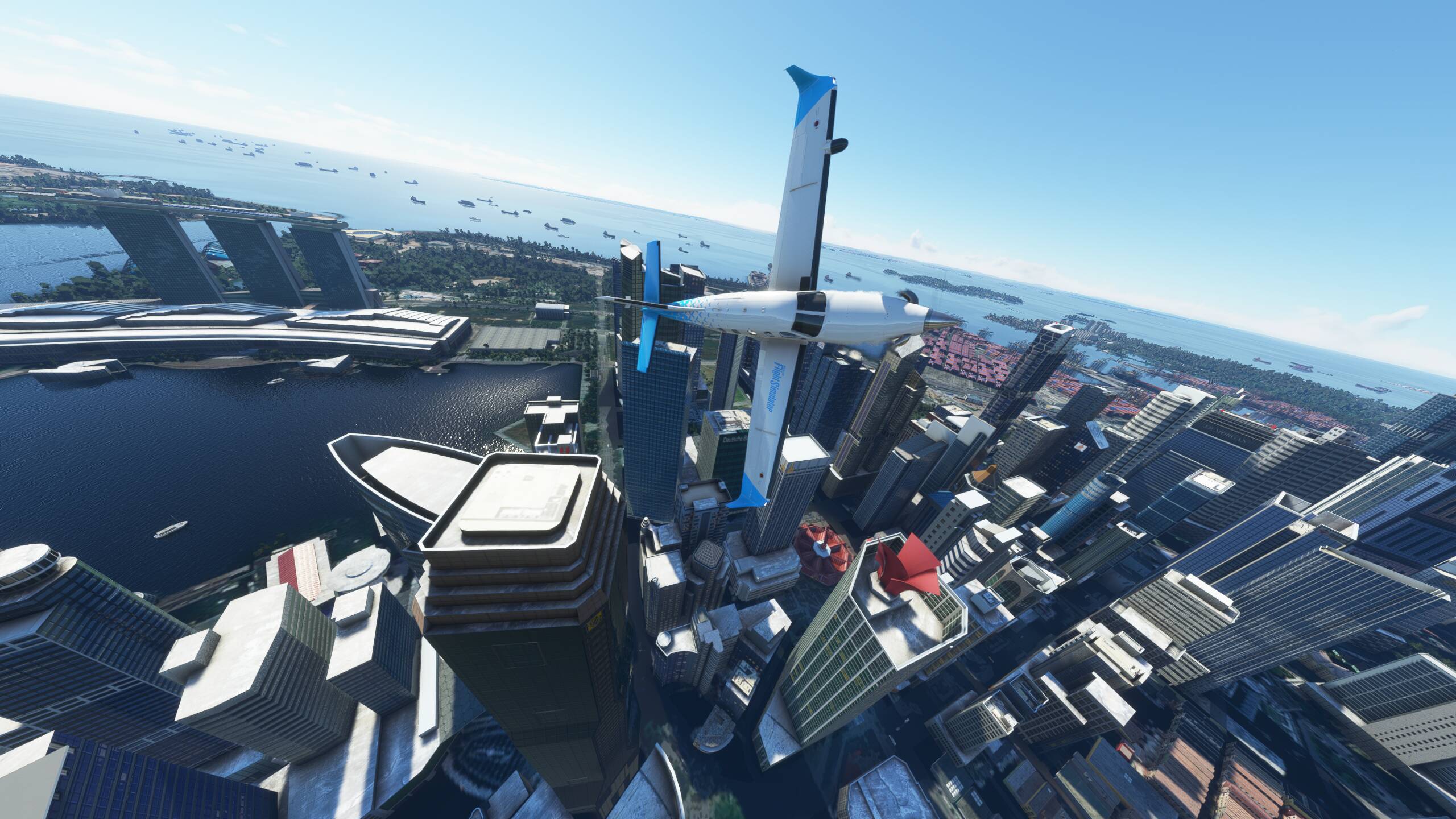
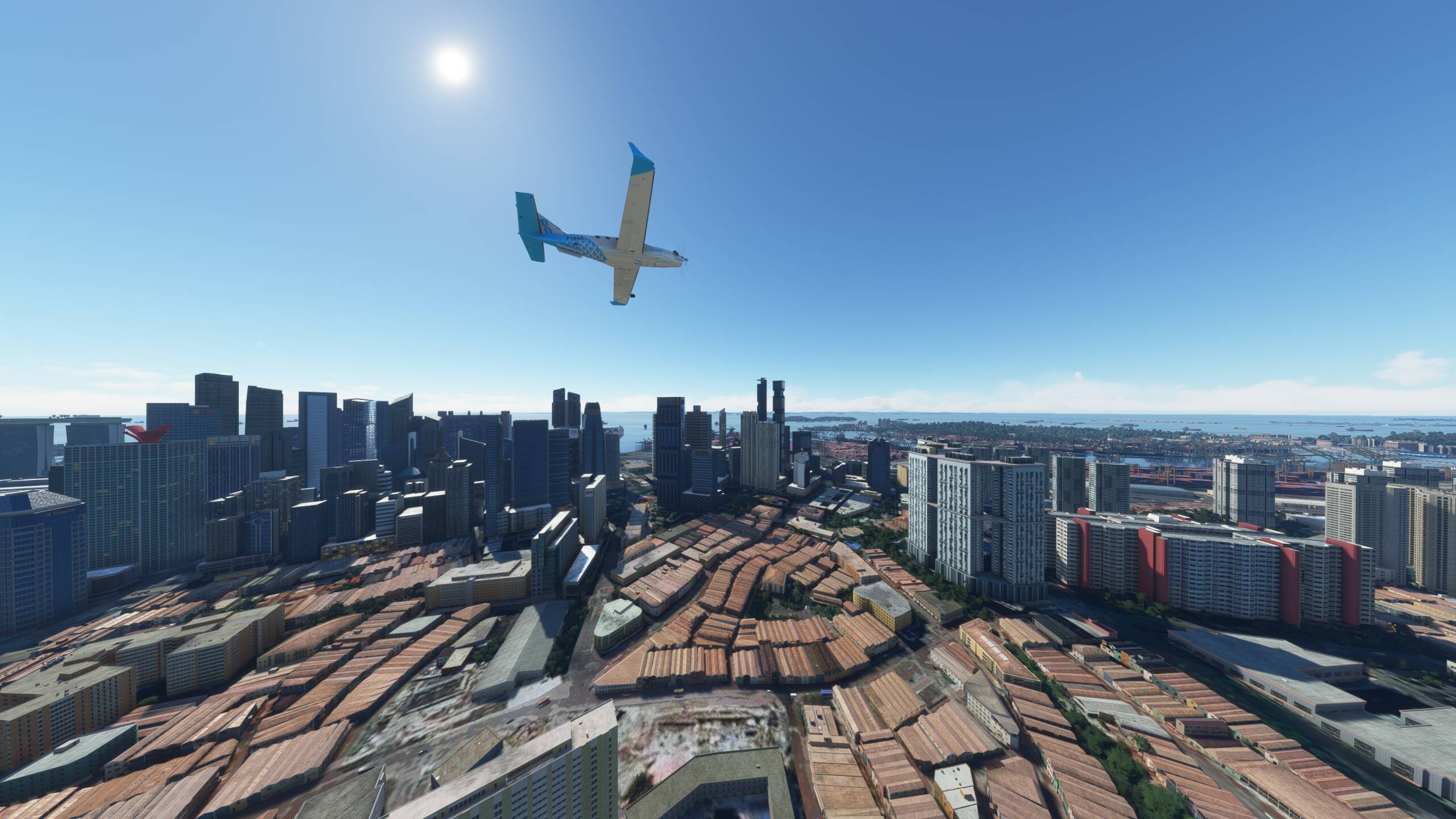
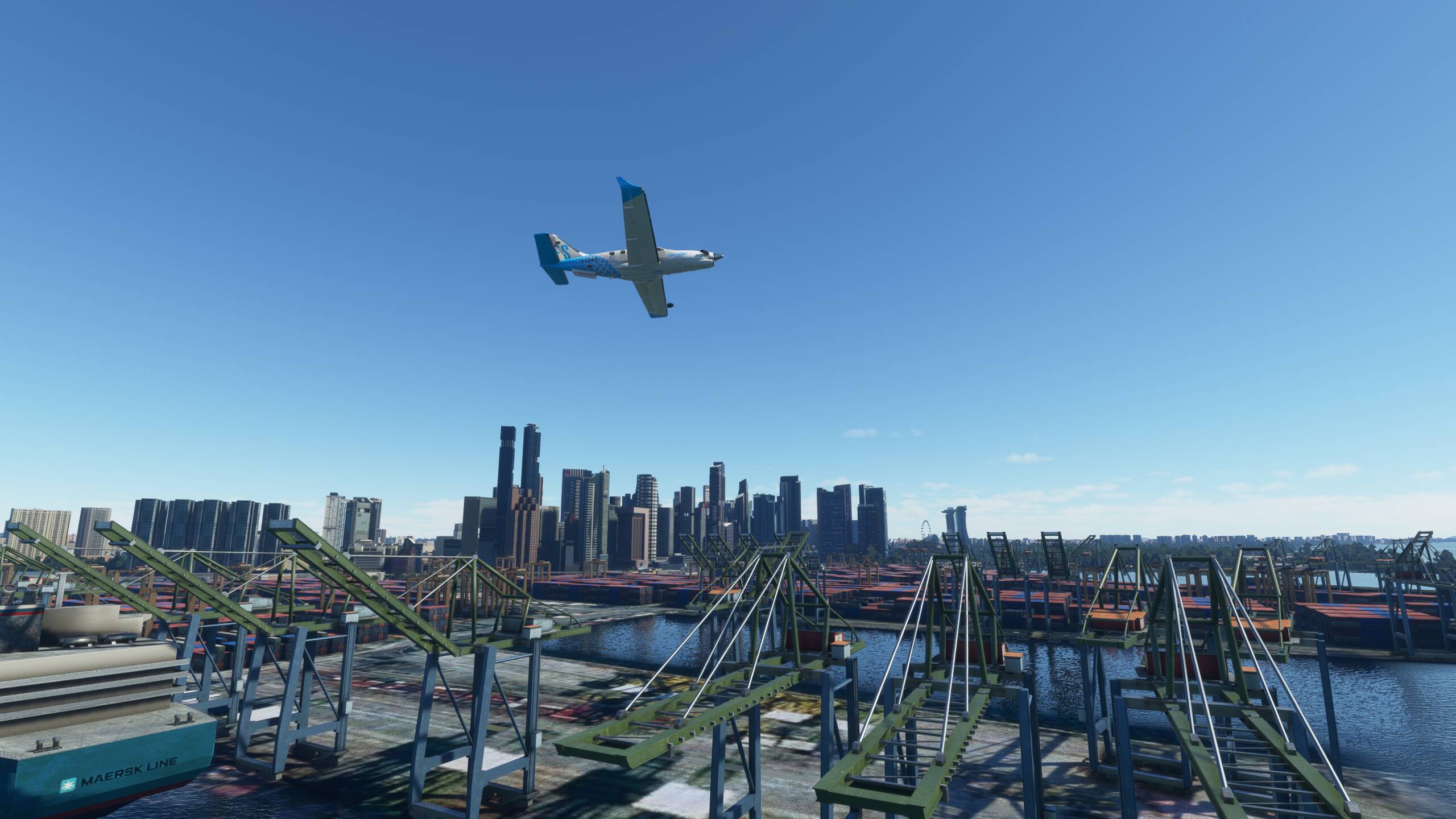
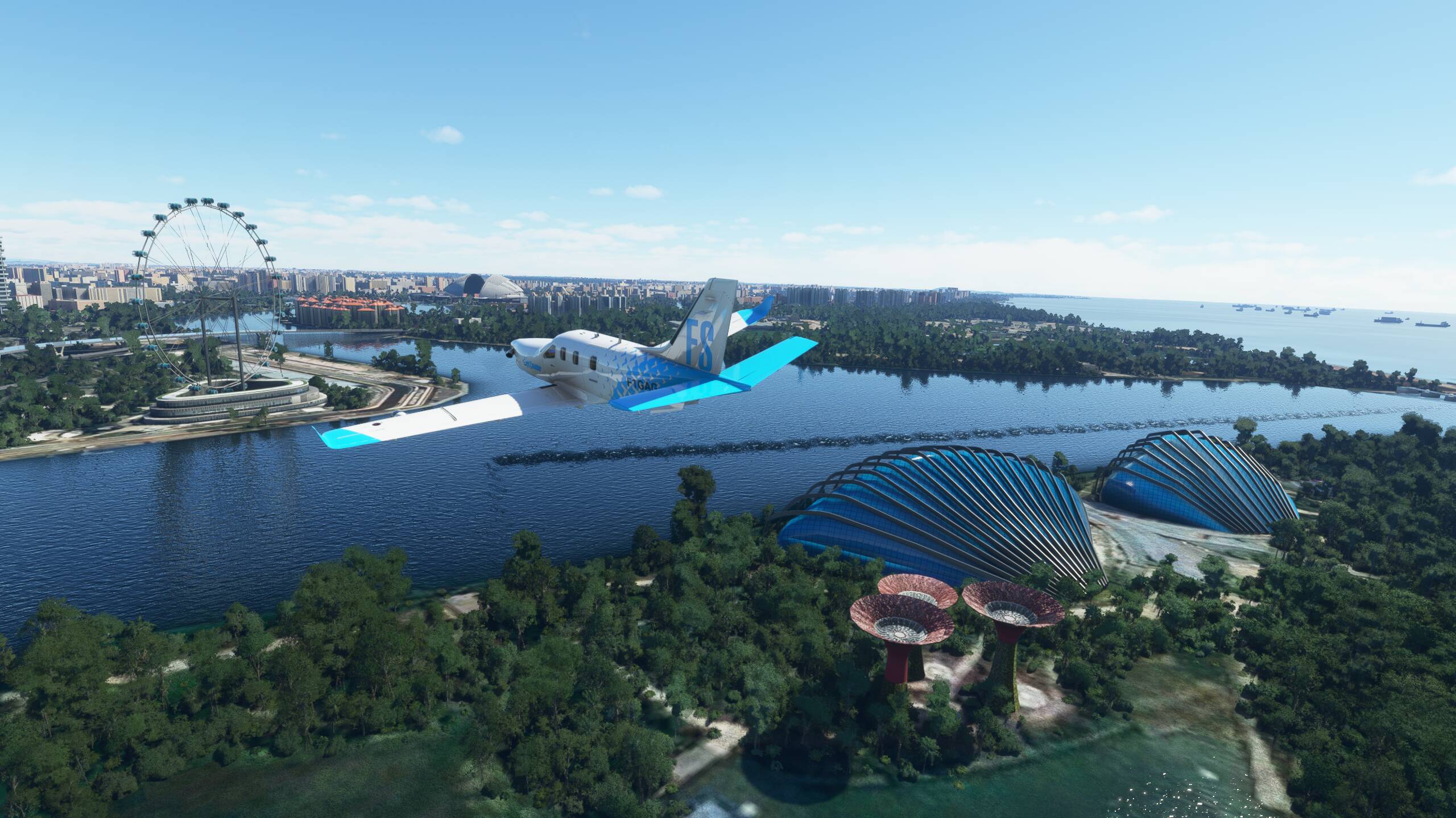
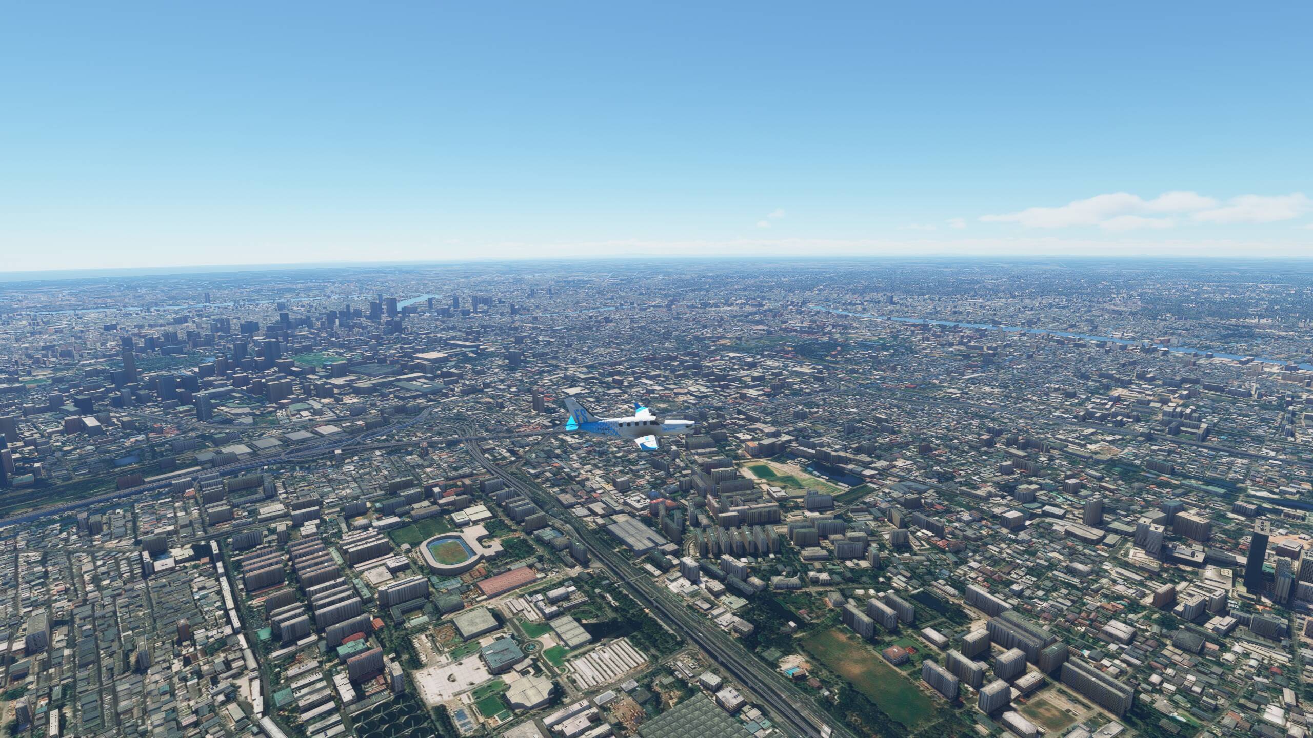
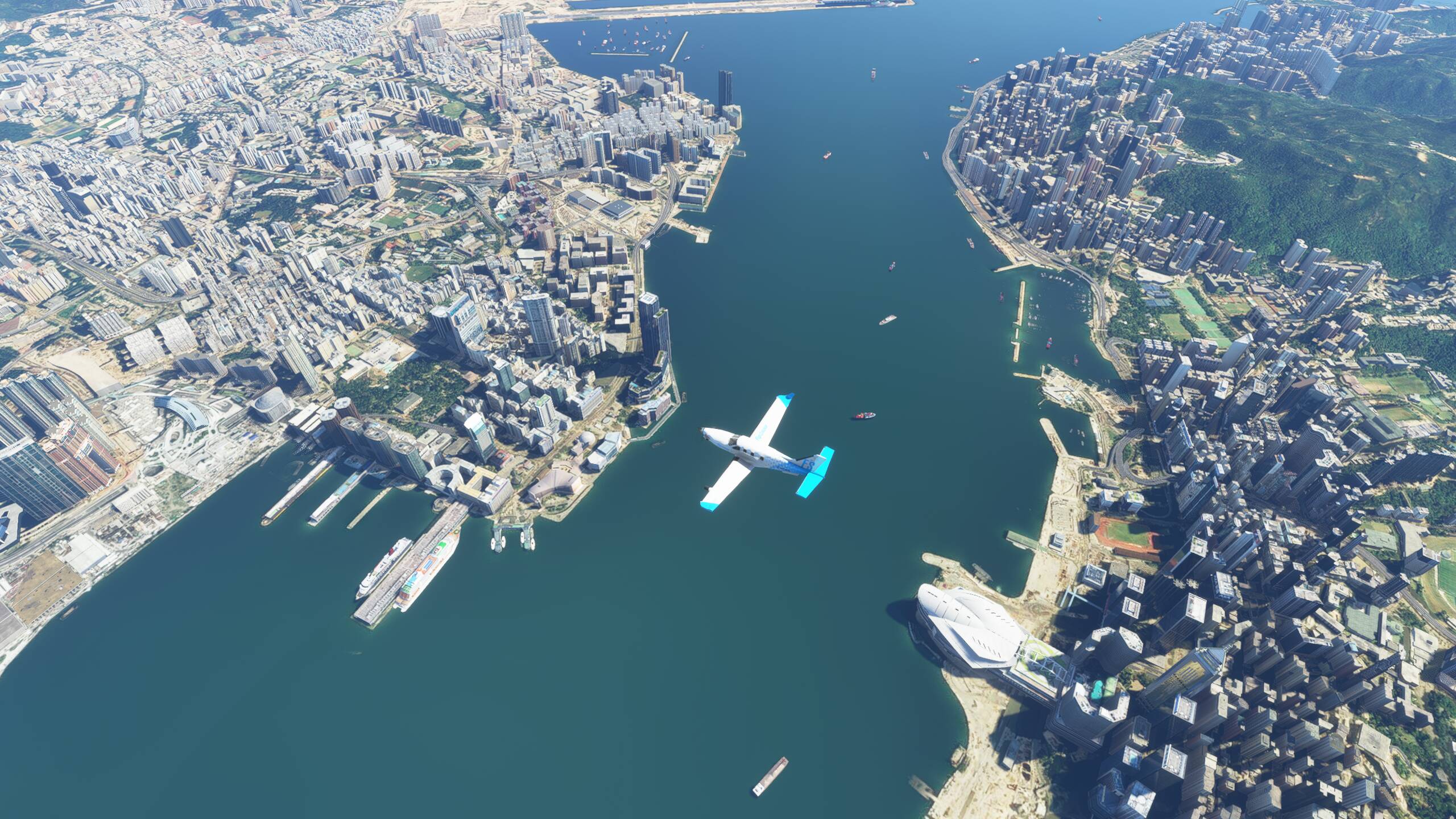
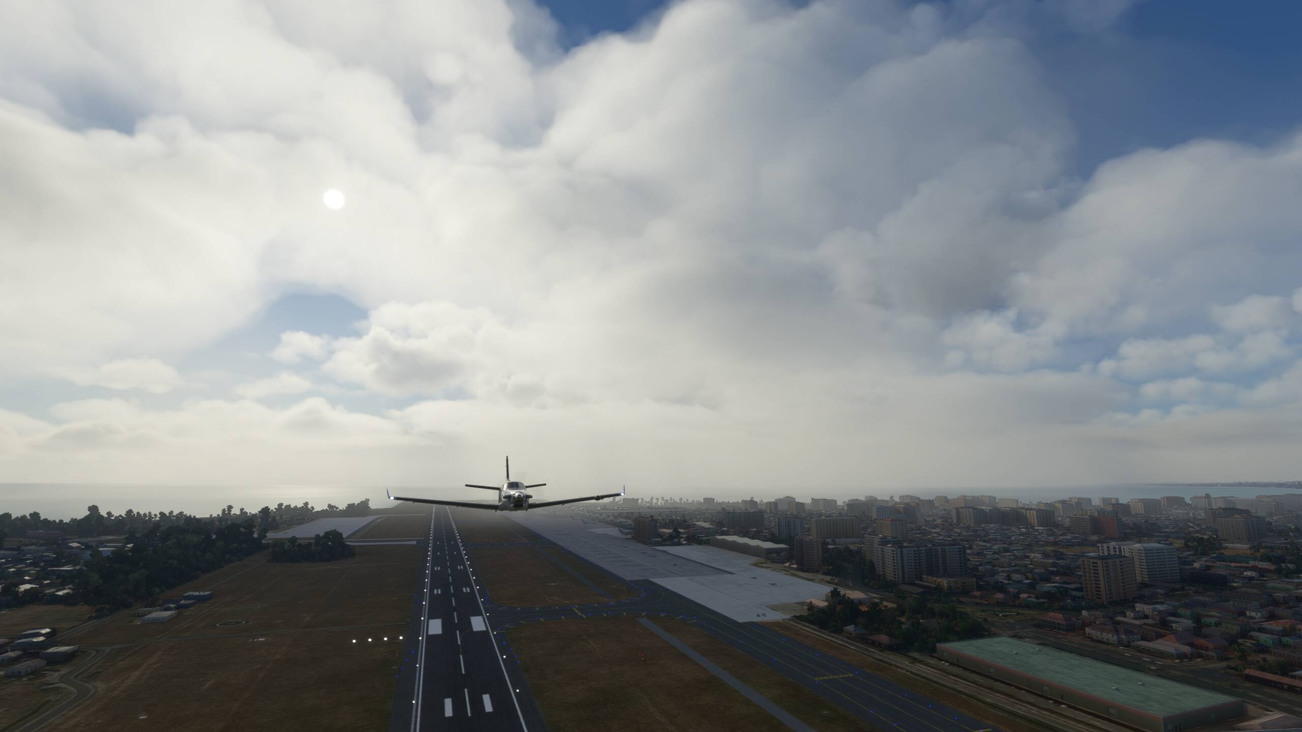
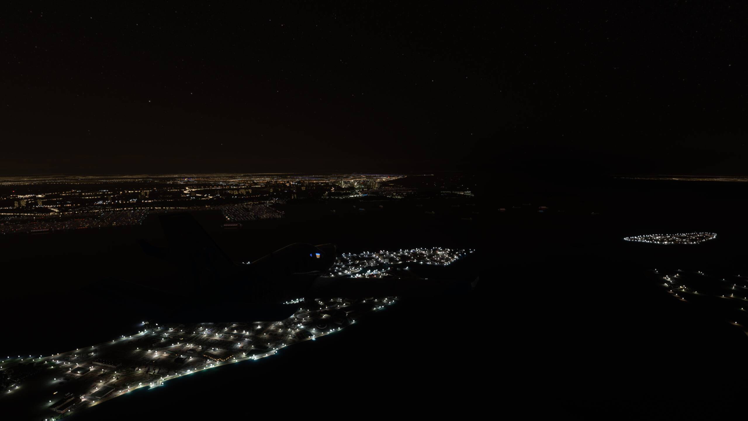
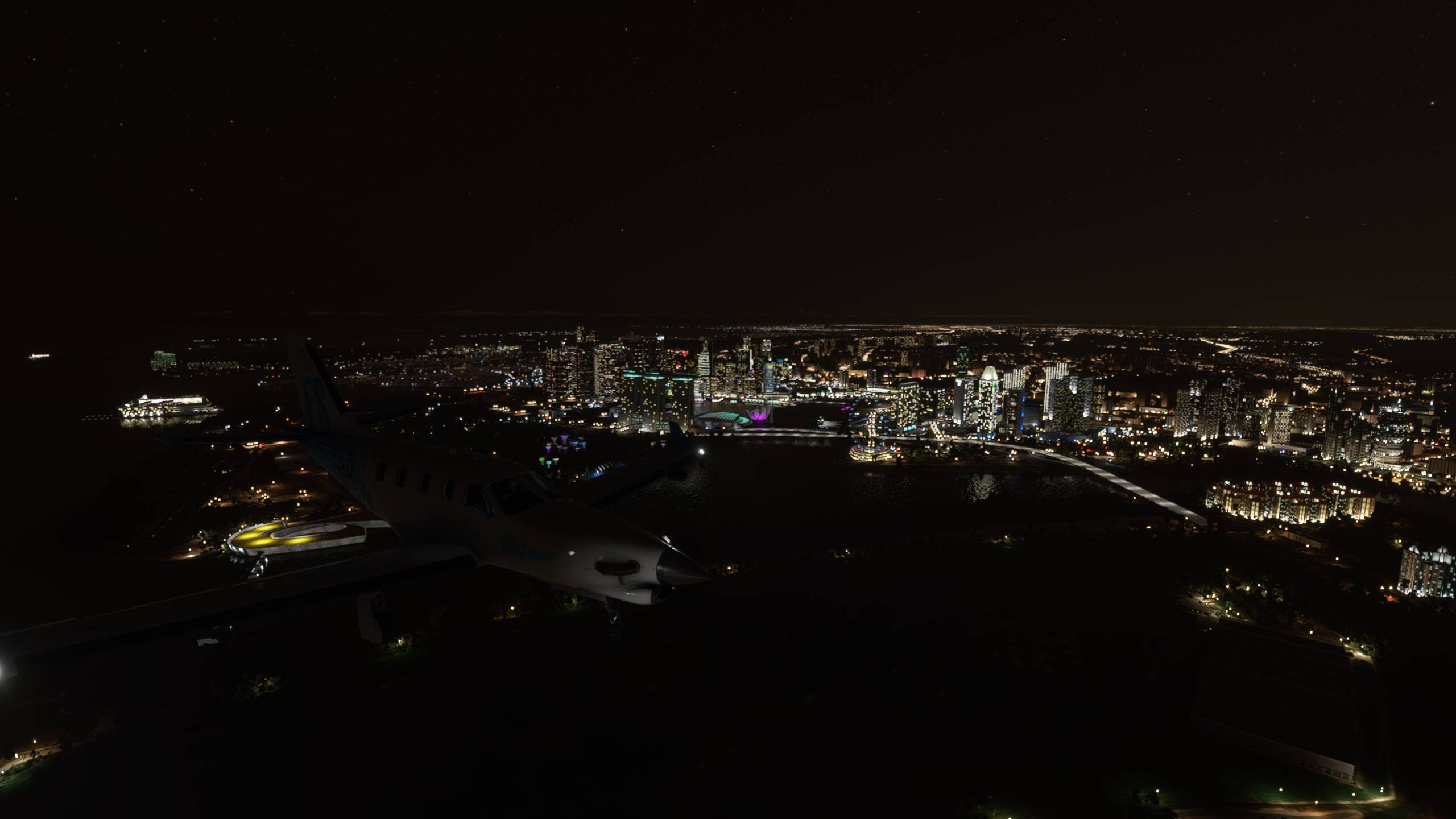
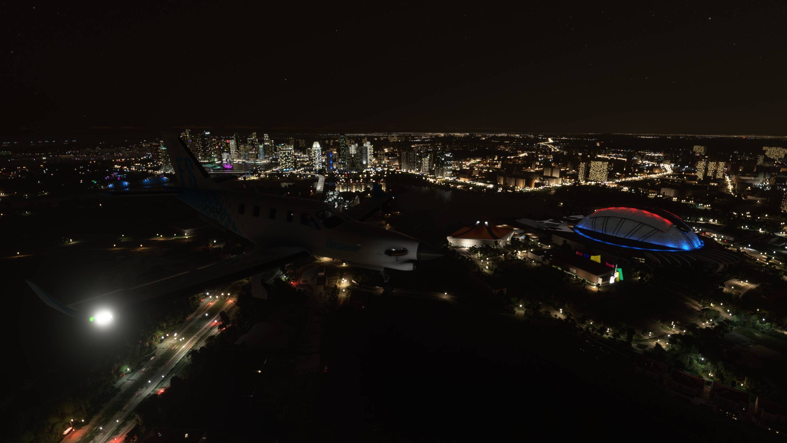
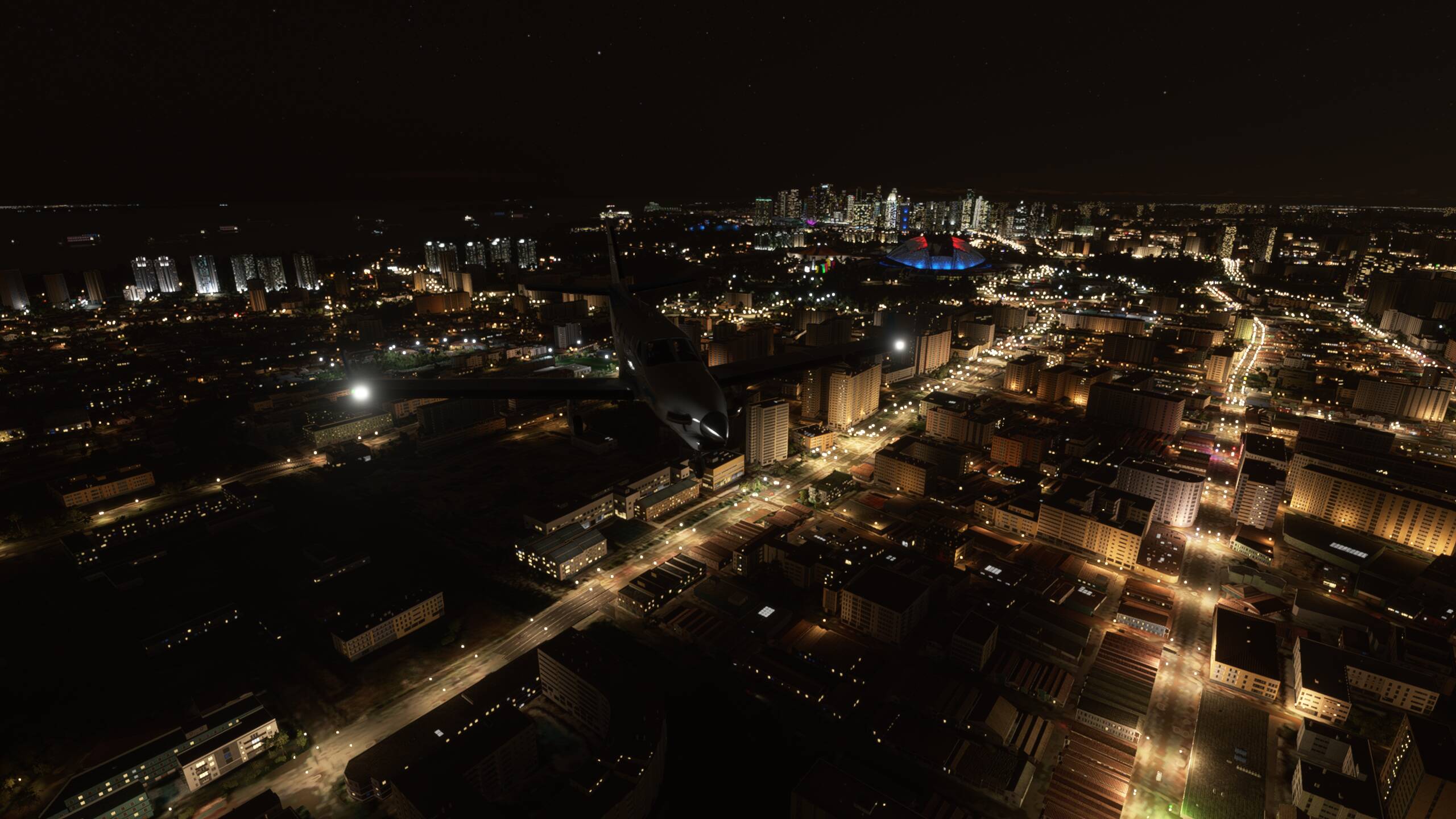
Turning to the East and a flyby of the waterfront at Singapore
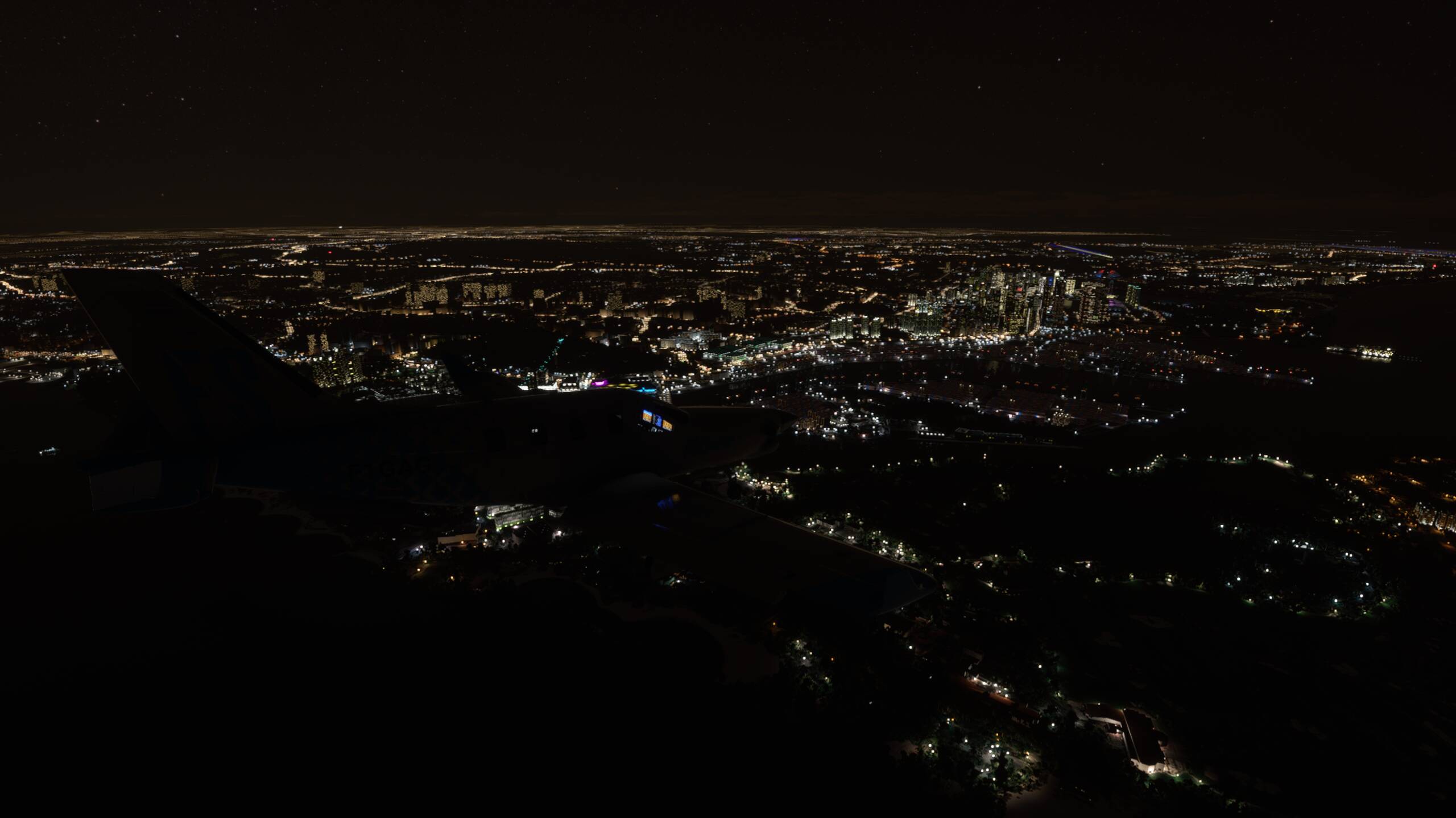

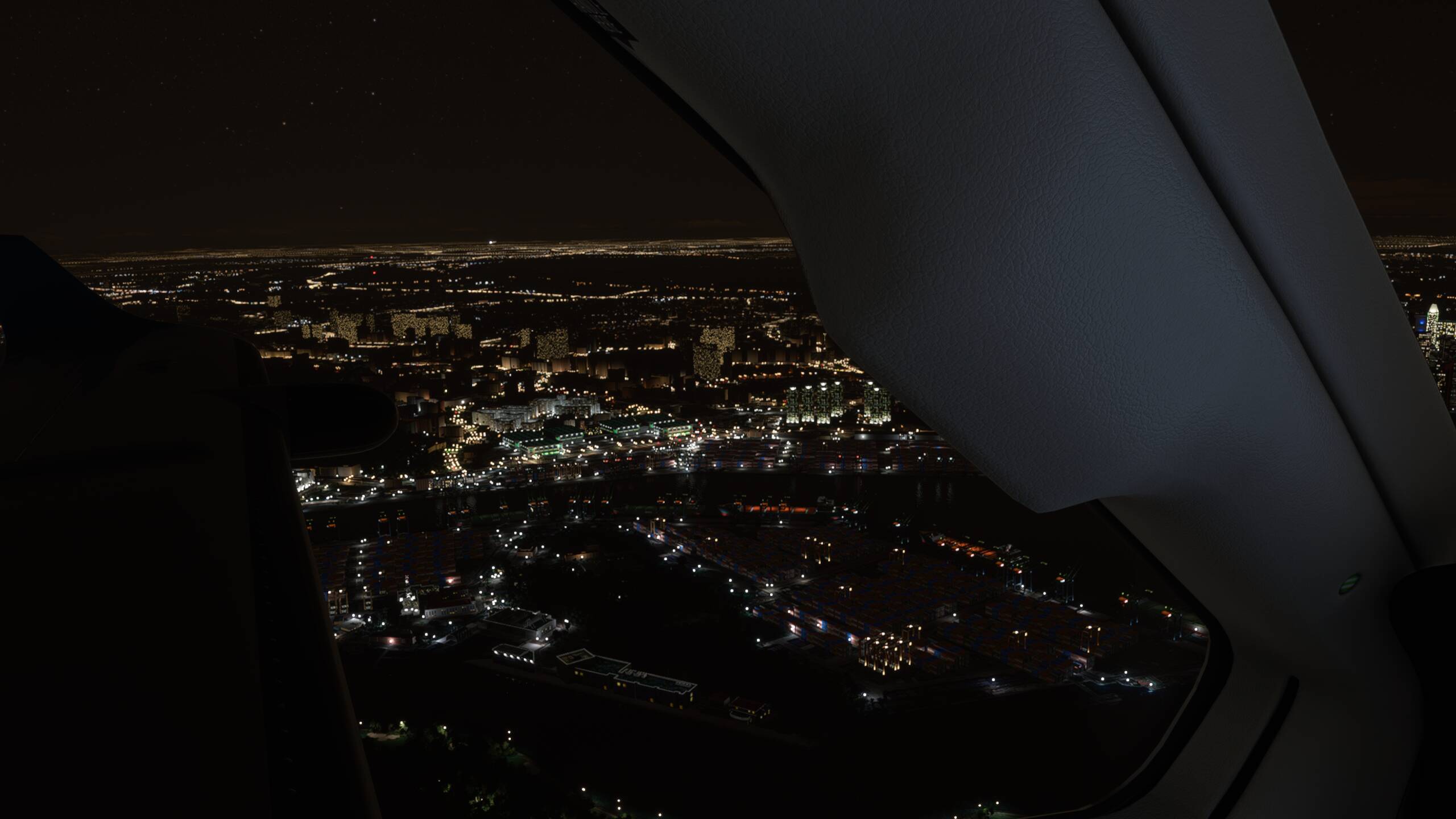


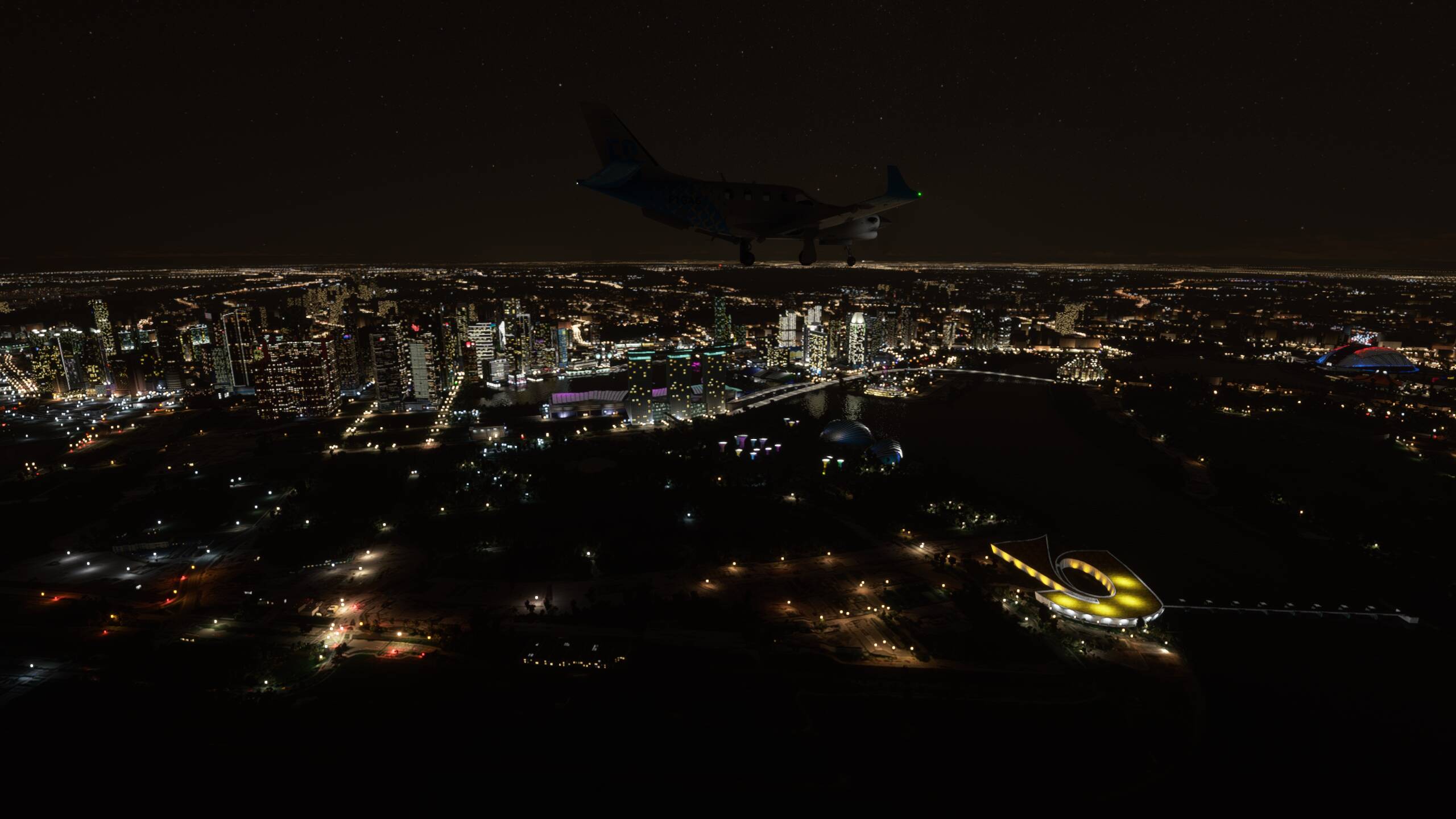
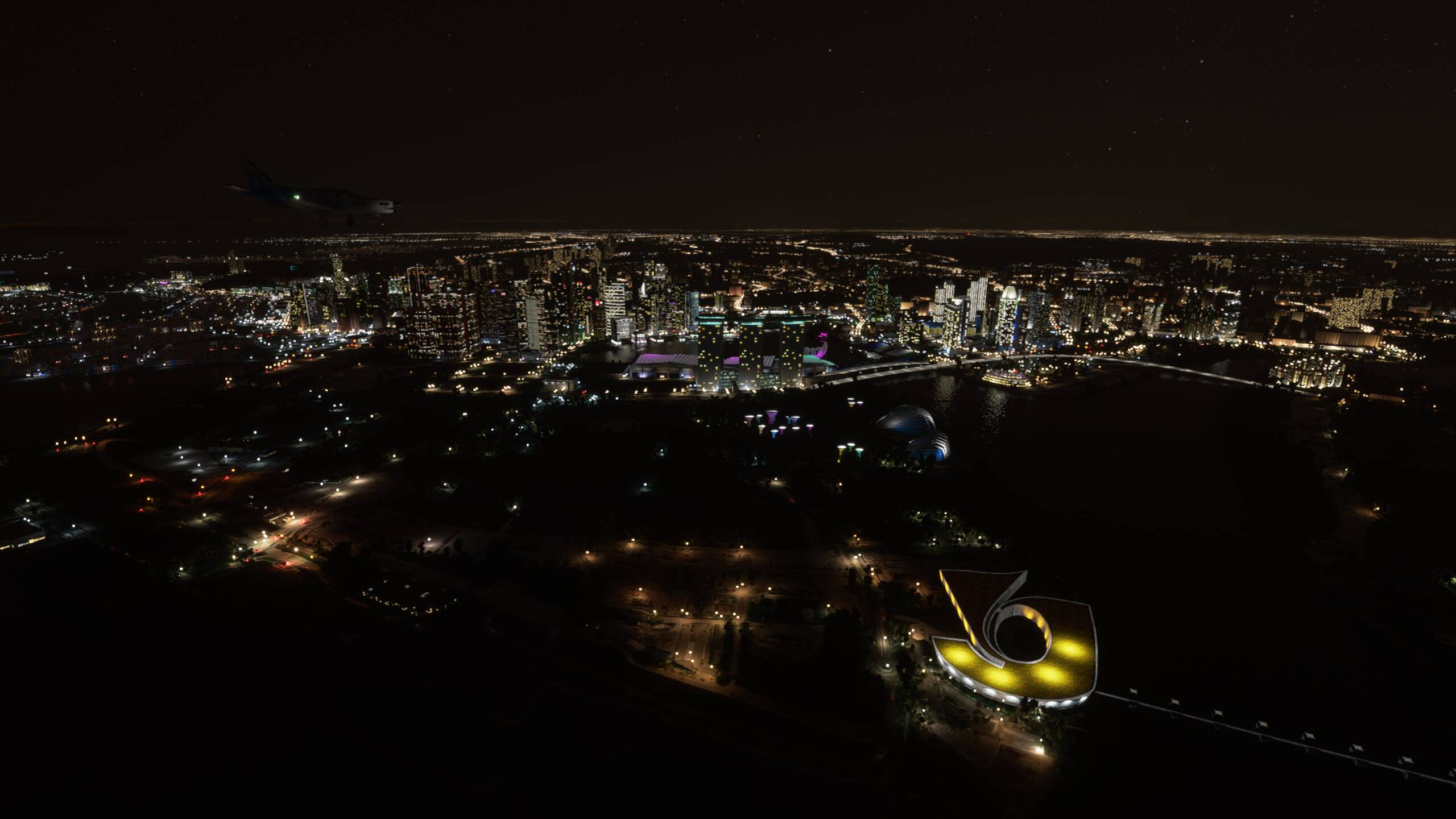
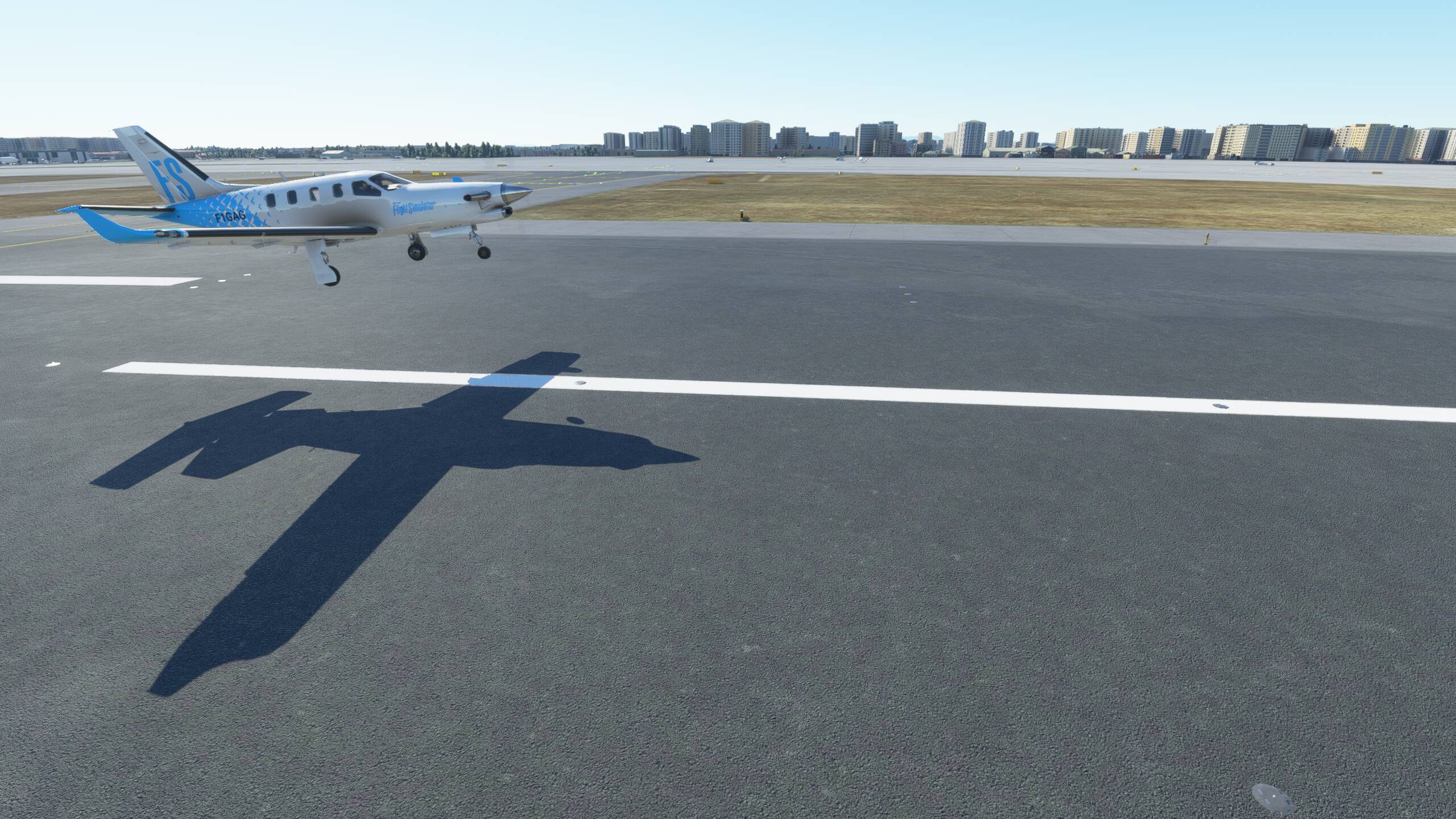
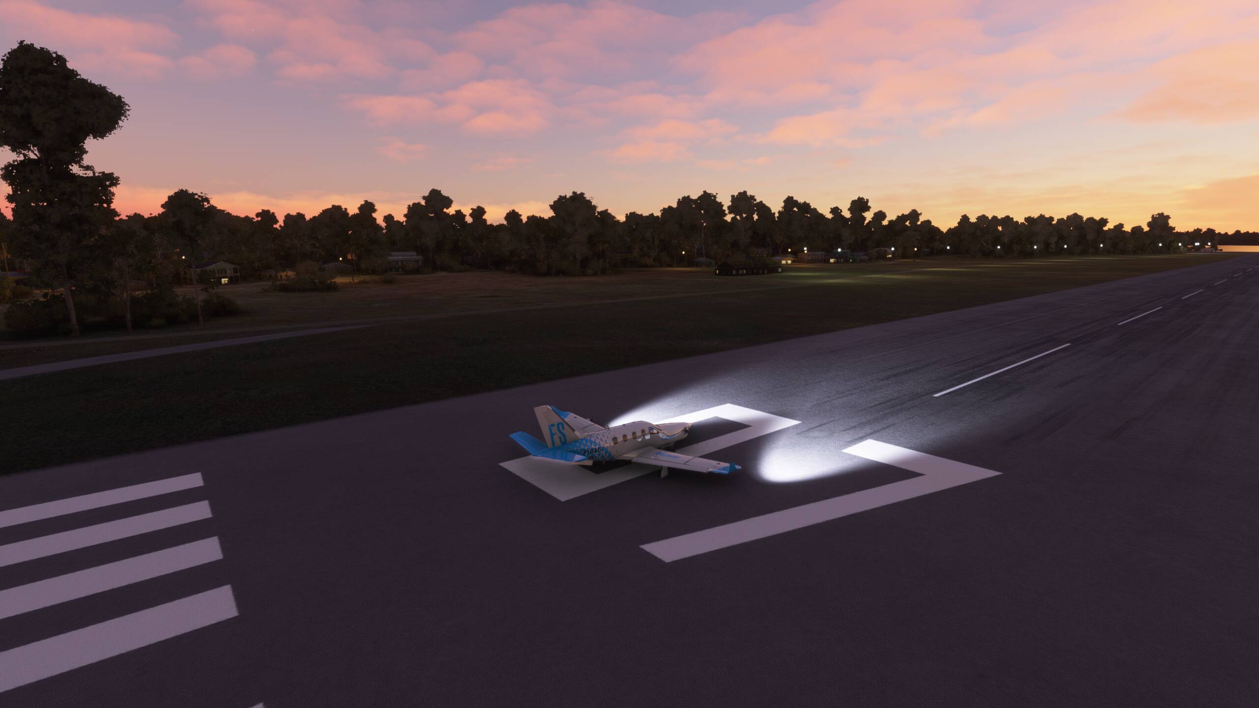
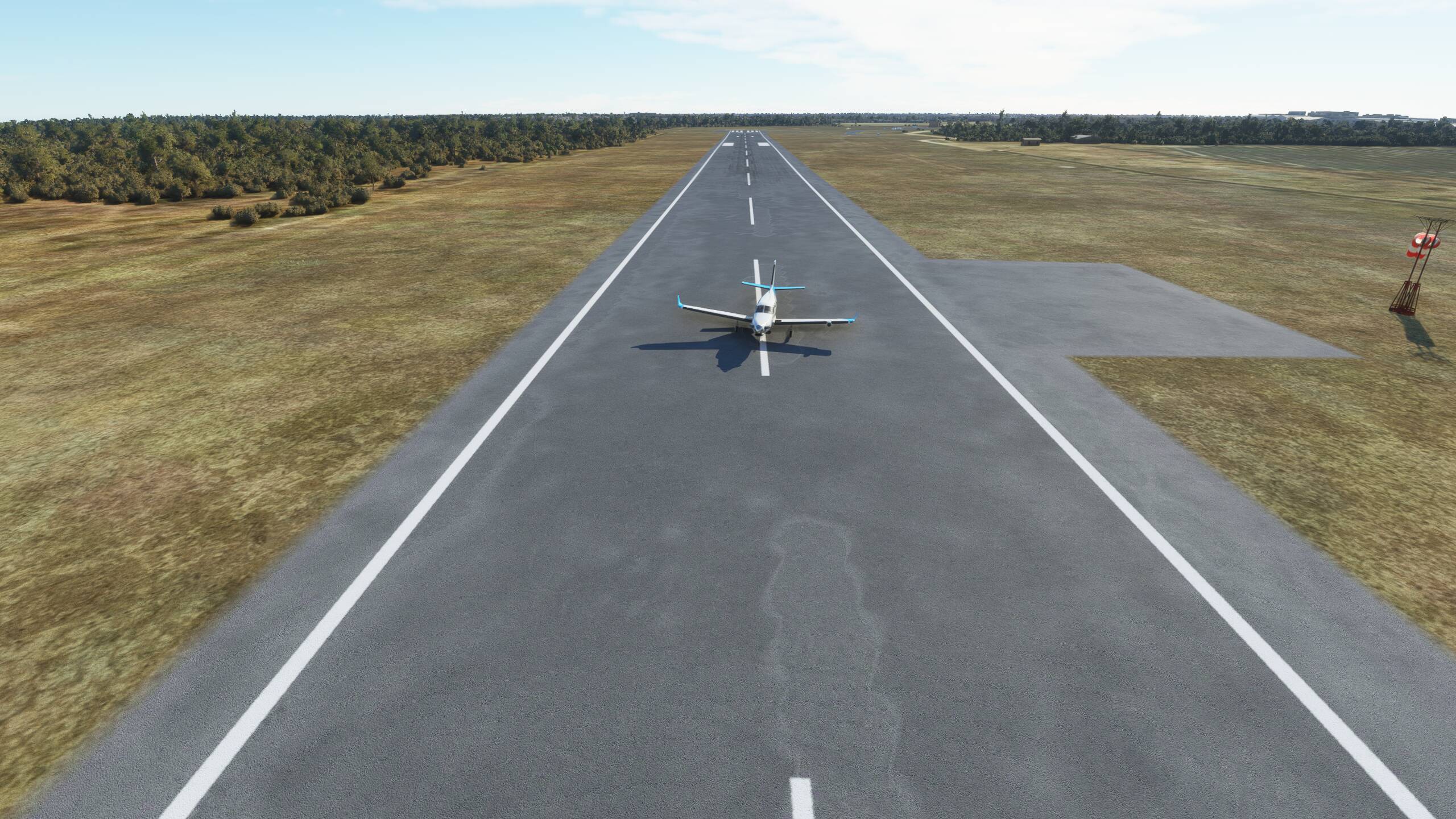
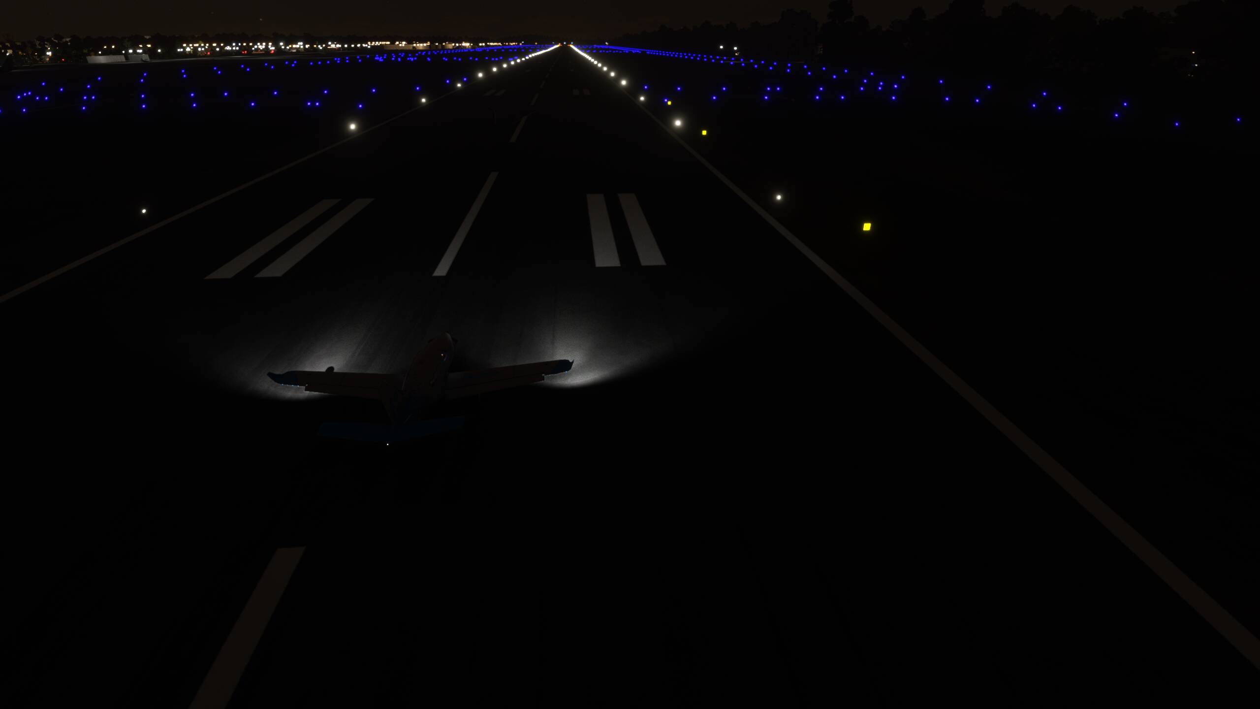
Turned and lined up on the ILS approach, all looking good
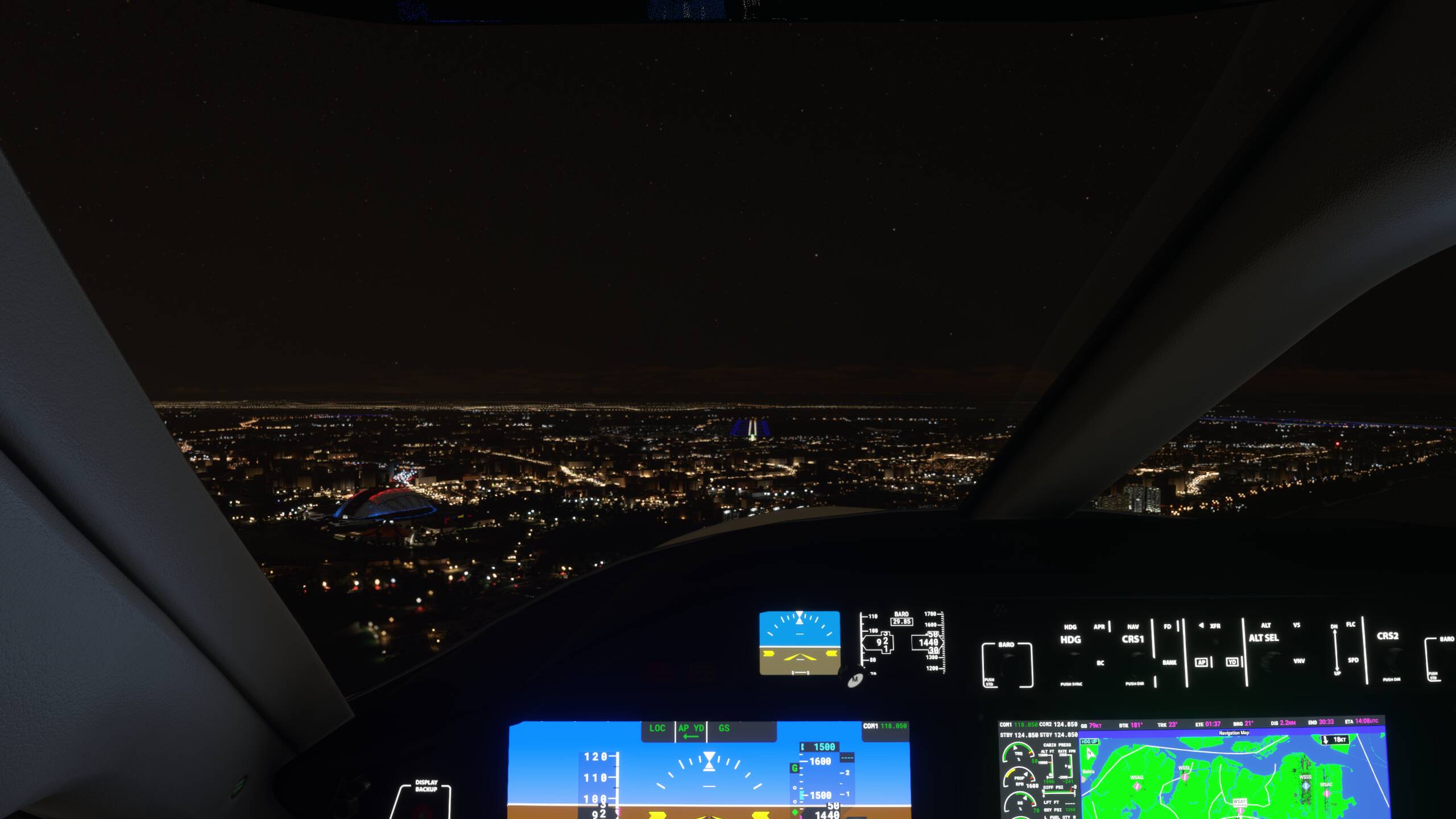

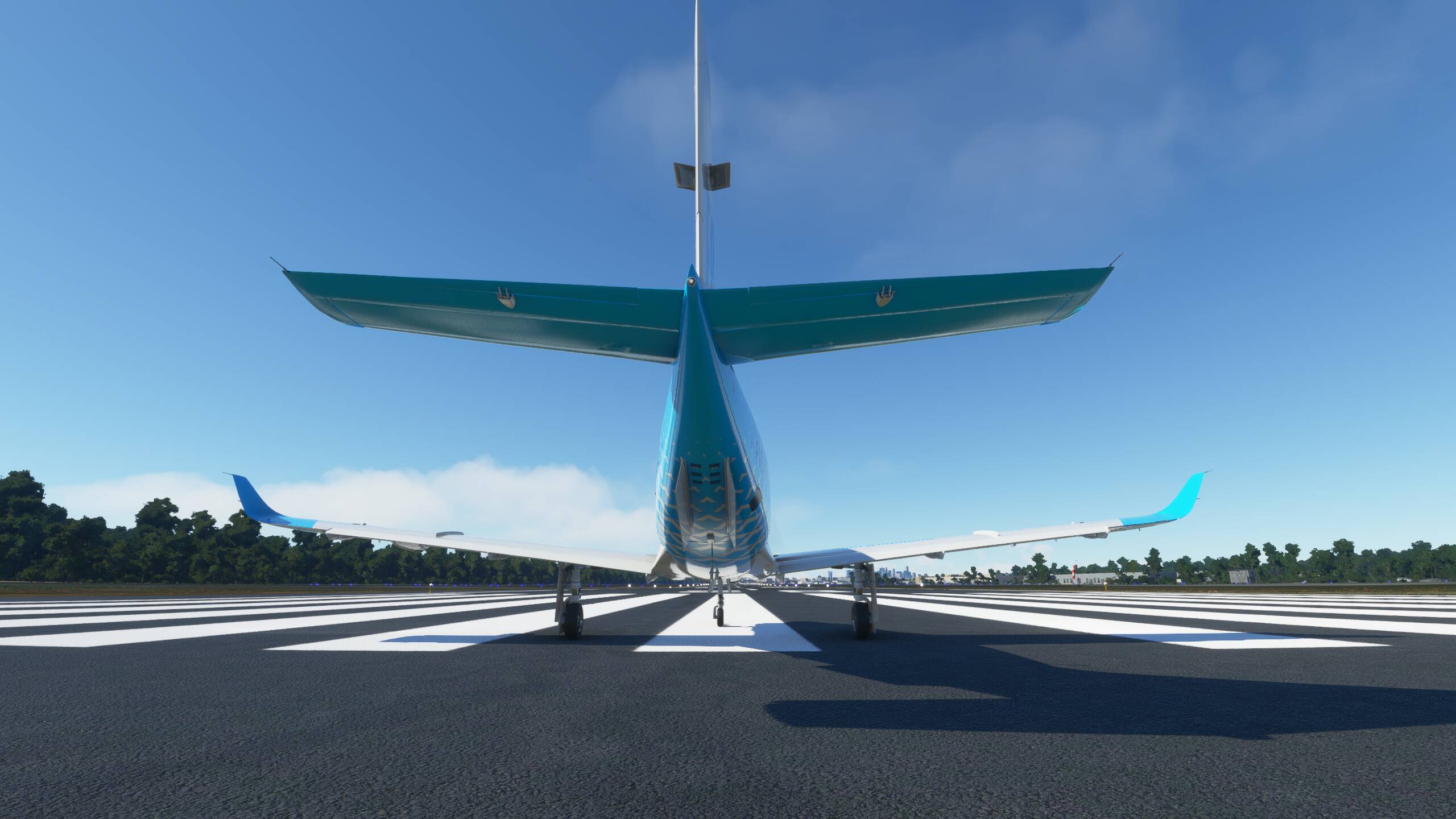
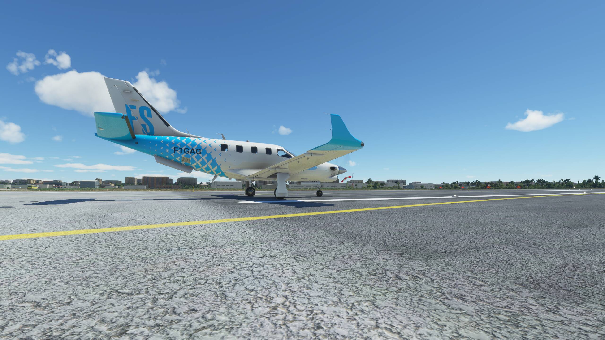
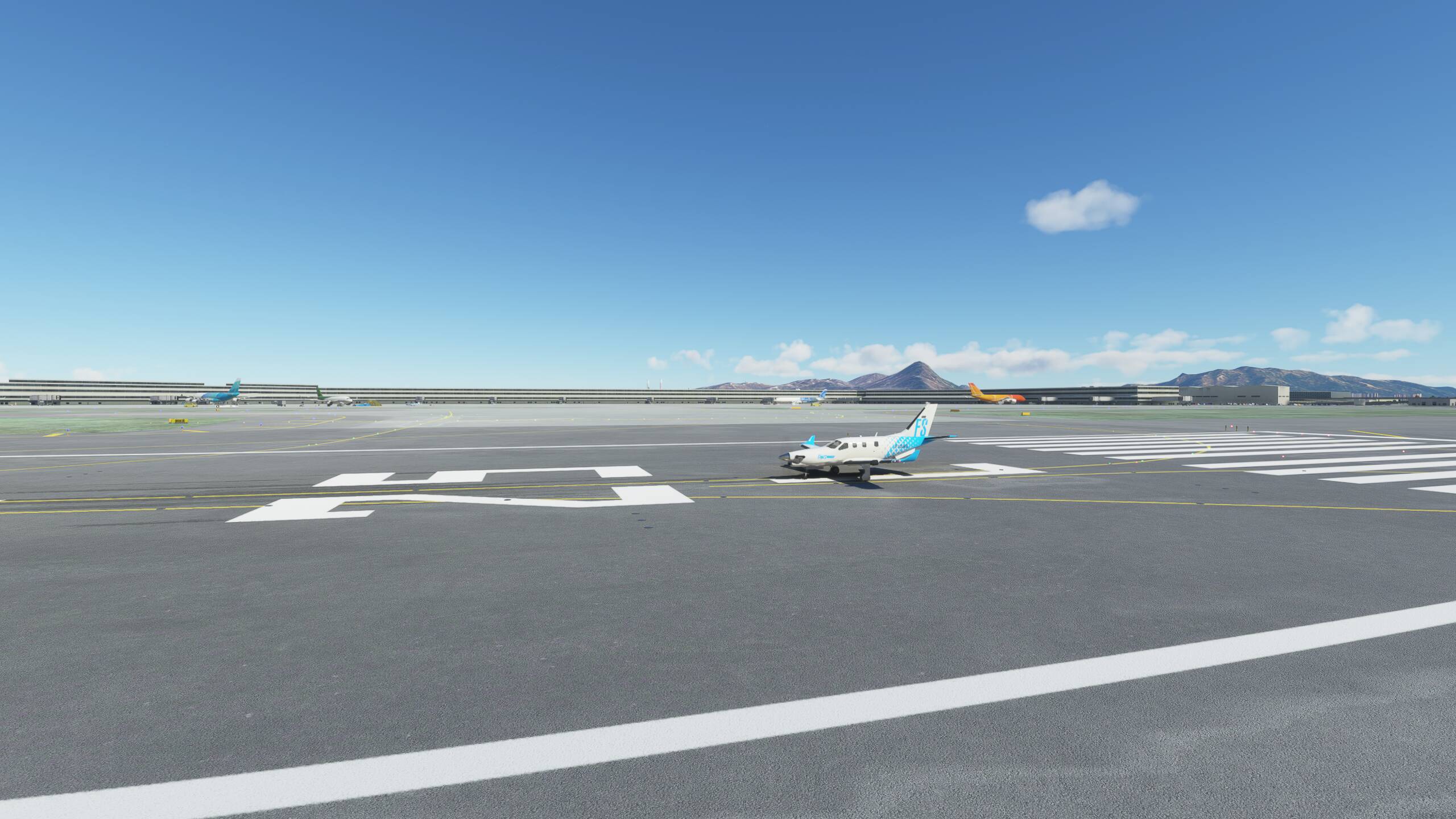
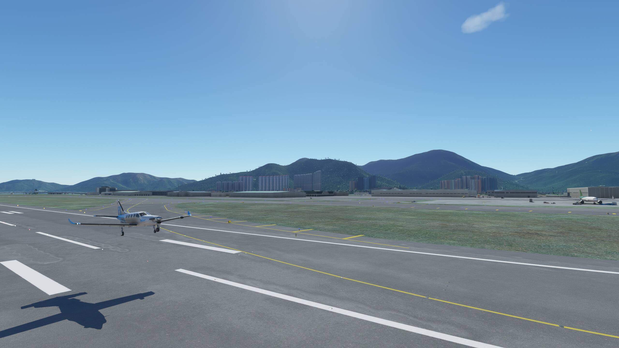
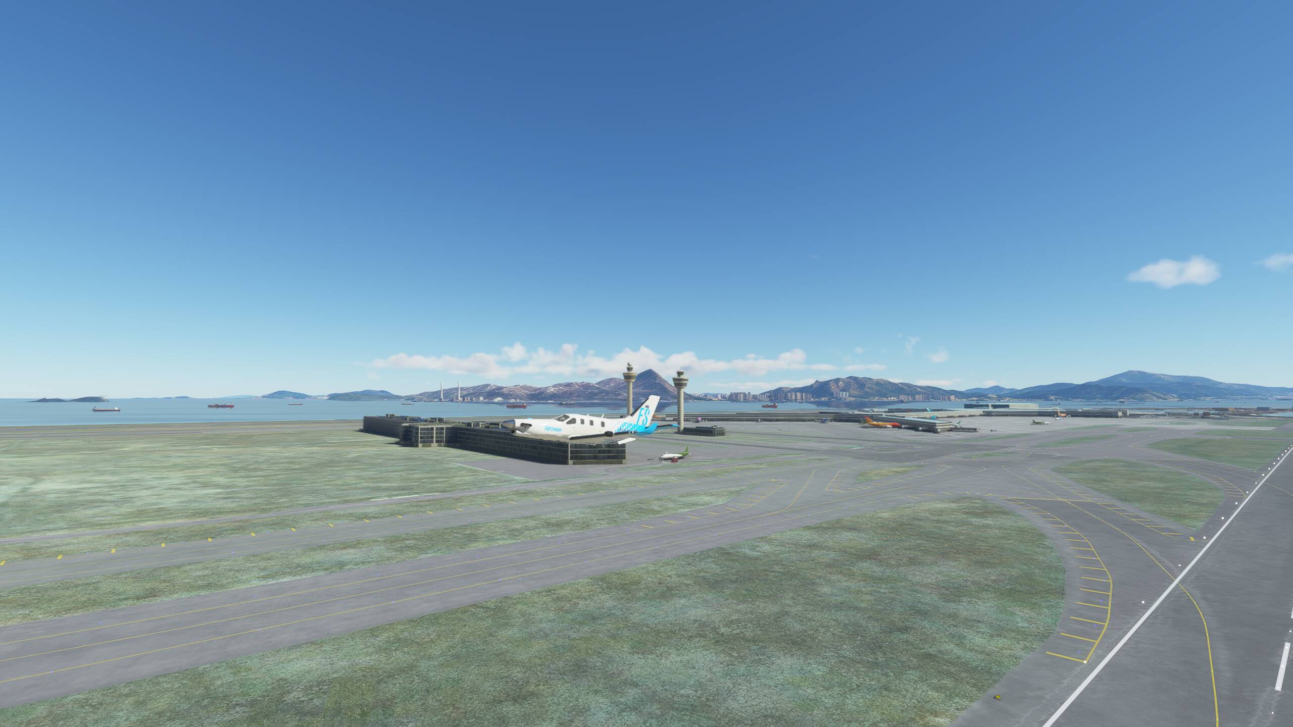
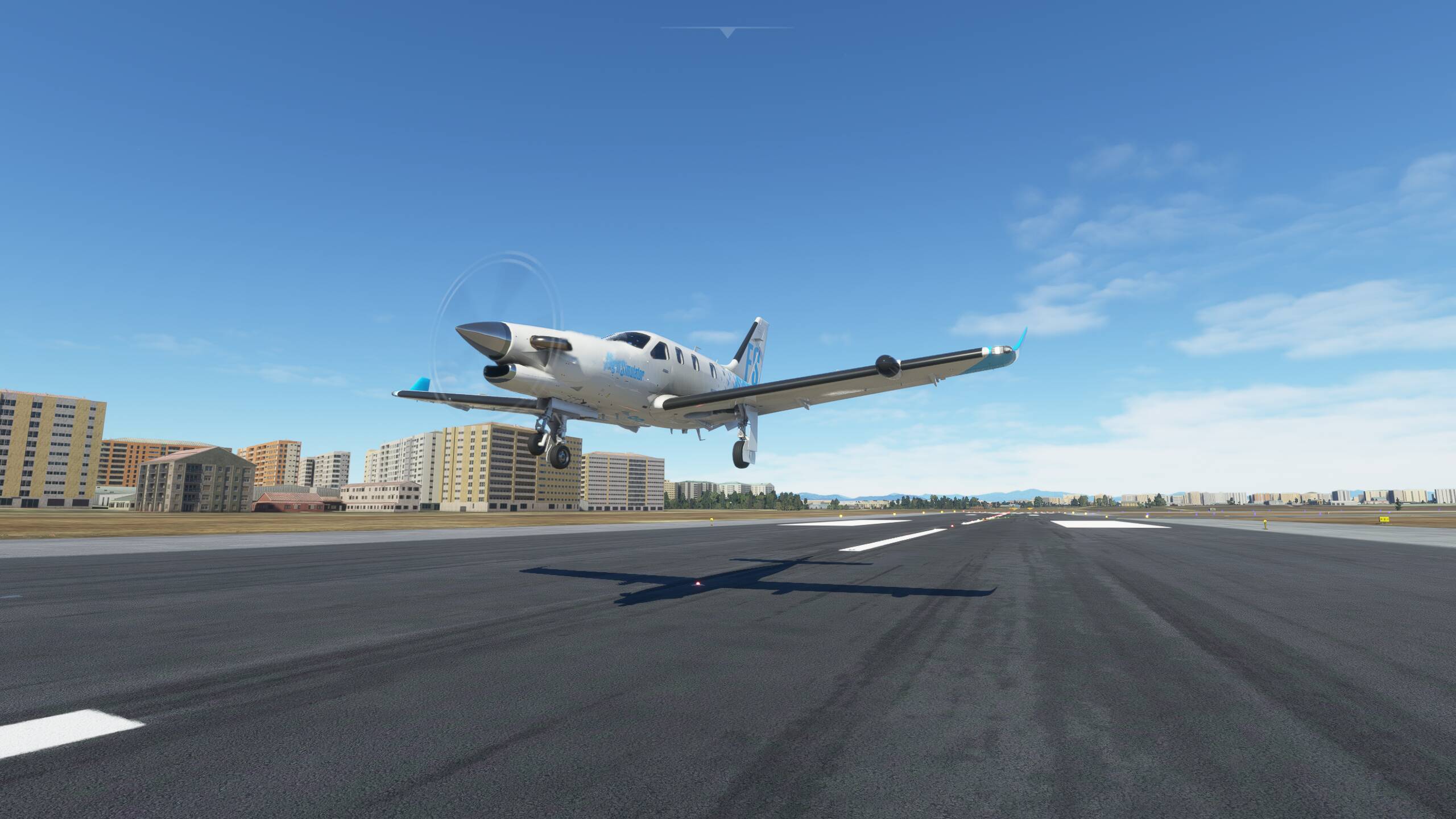
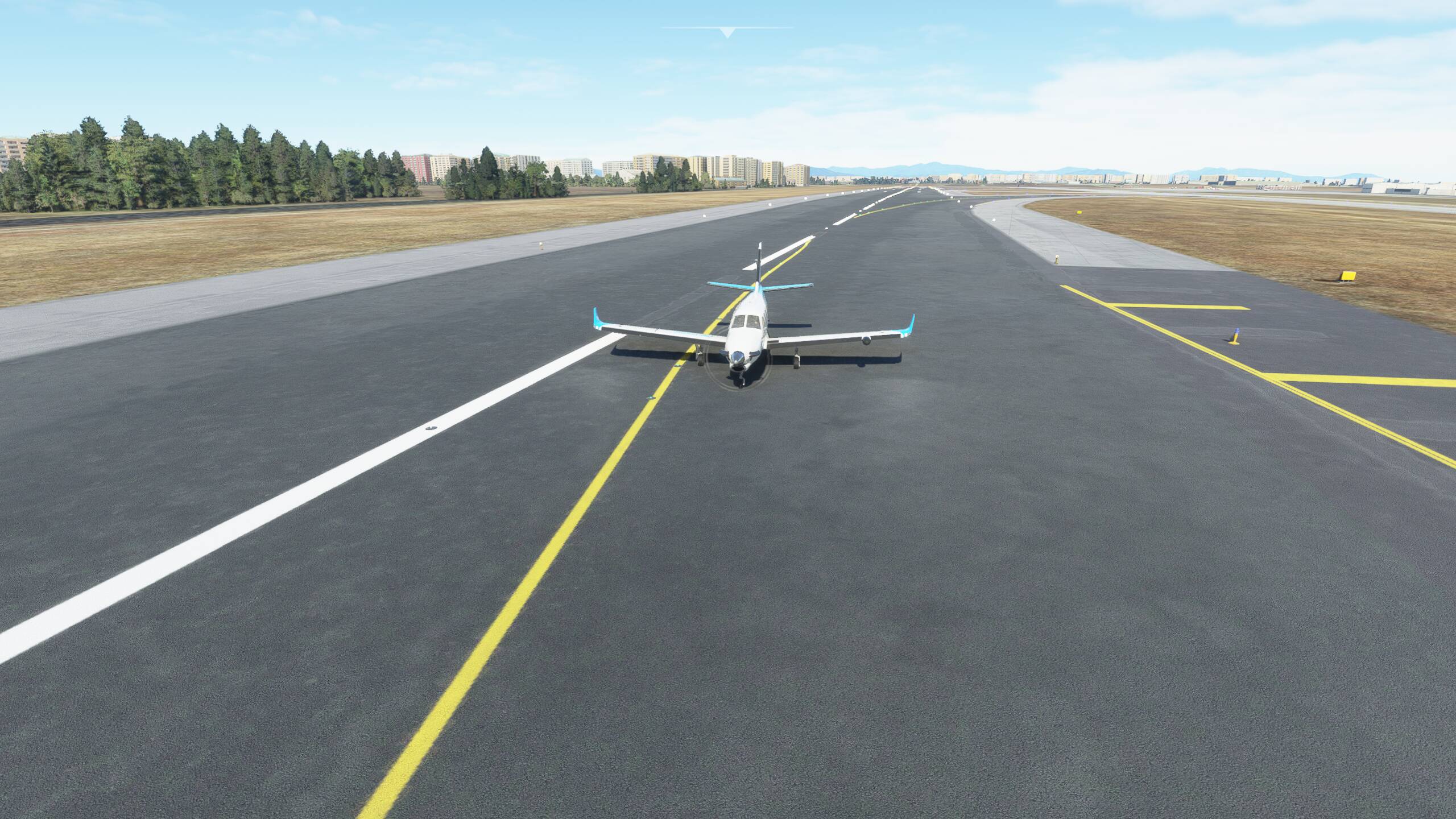
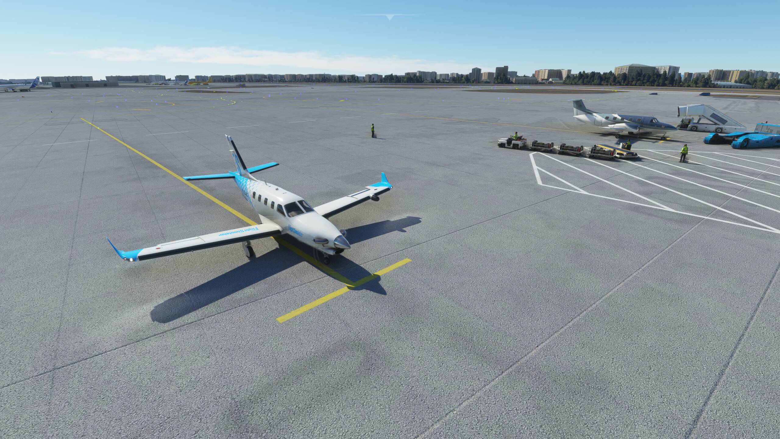
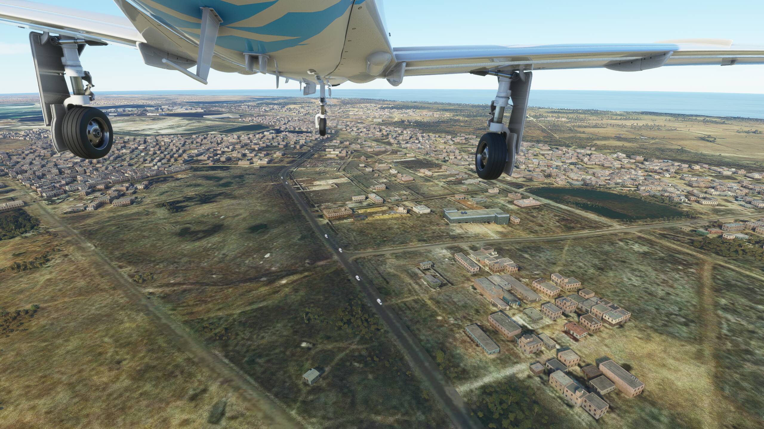
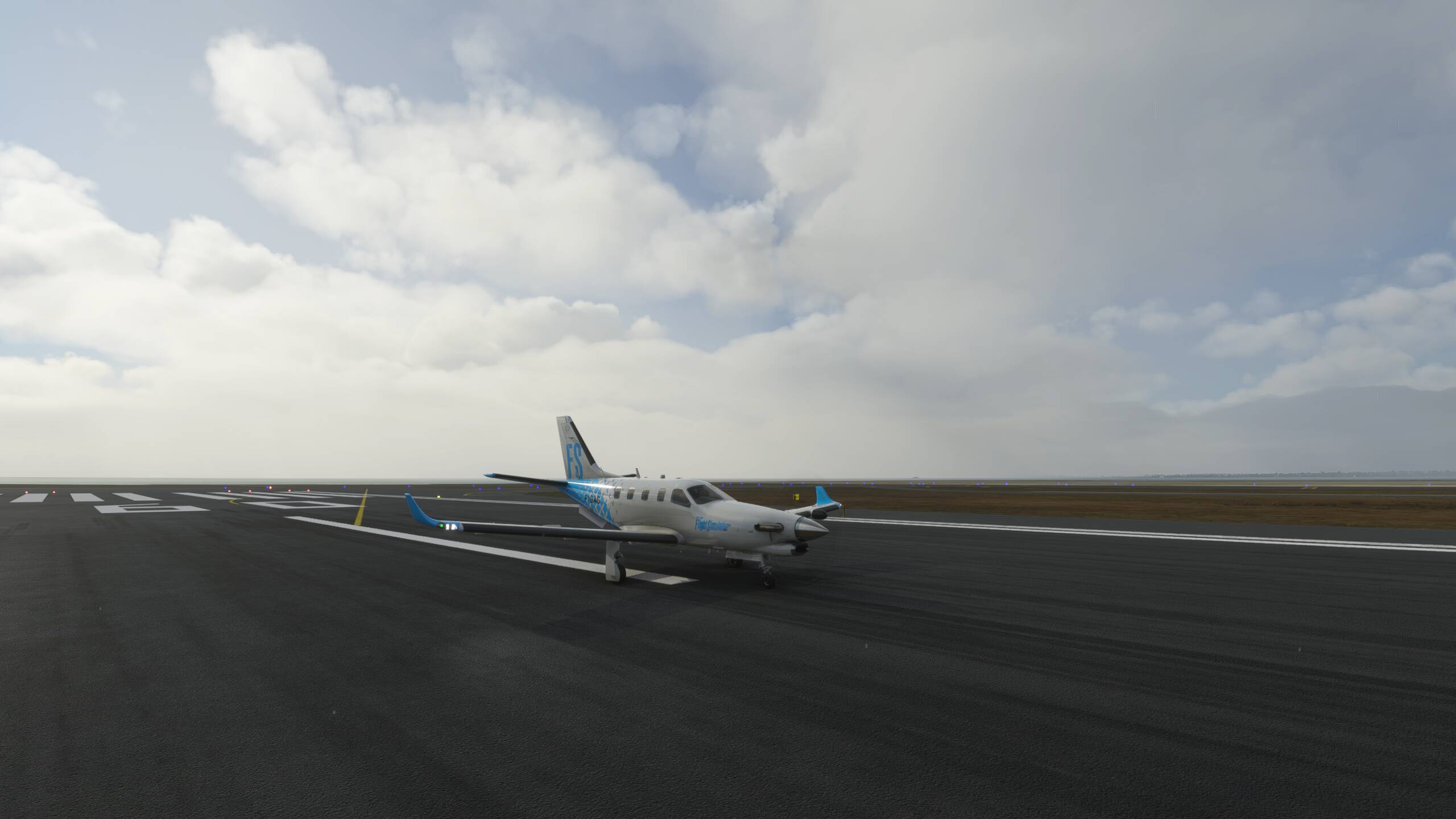
And landed
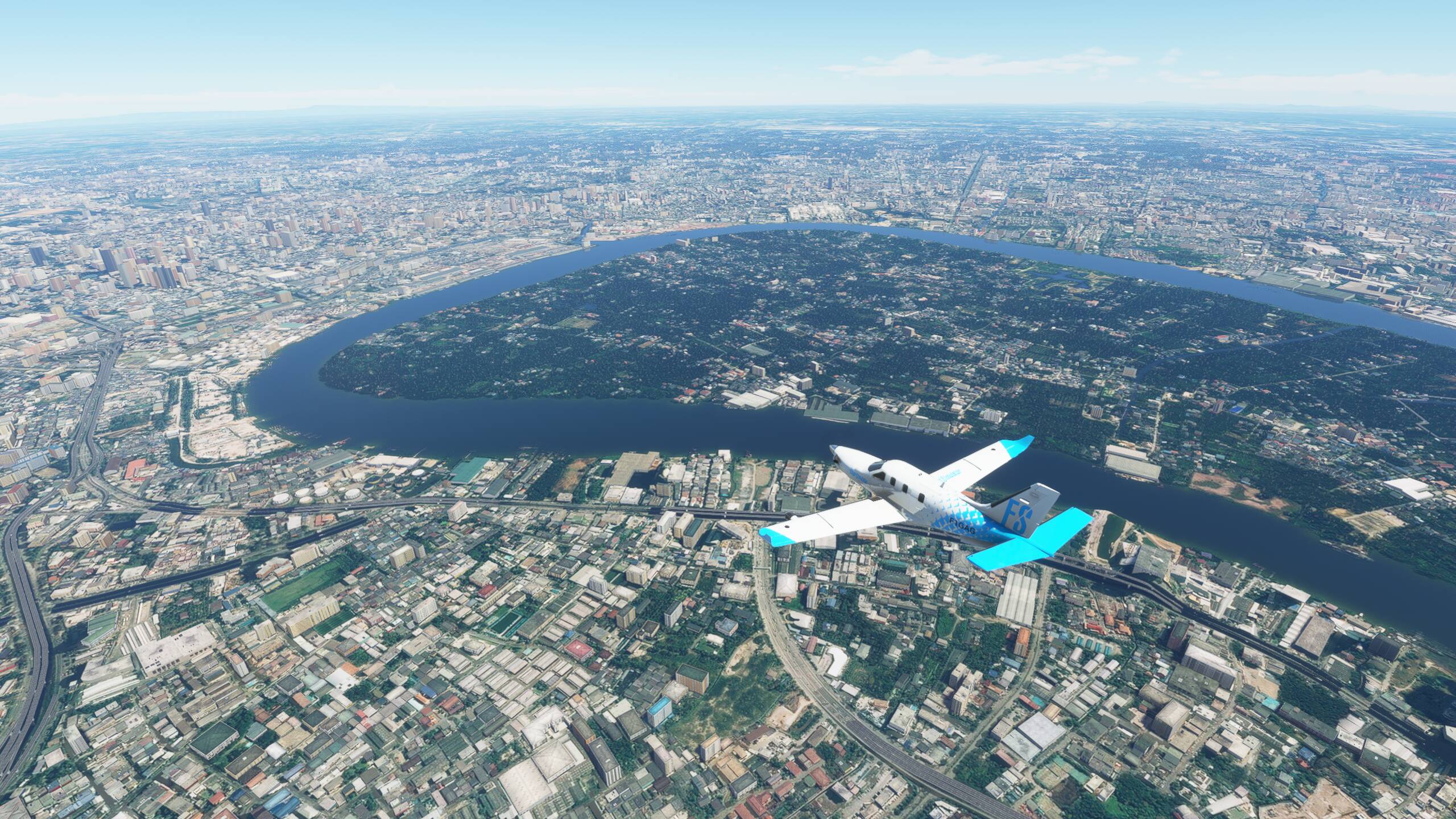
Nice flight. Got dark surprisingly quickly, so my plan for a dusk flyby Singapore didn’t come off, but seeing the city at night was good too. We’ll plan in a little city flyaround at the start of our next leg, which will be taking us further North - probably towards Bankkok if that’s in range