I also went hunting for the eye of Hurricane Ida based off the live Google Maps position updates: Google Maps
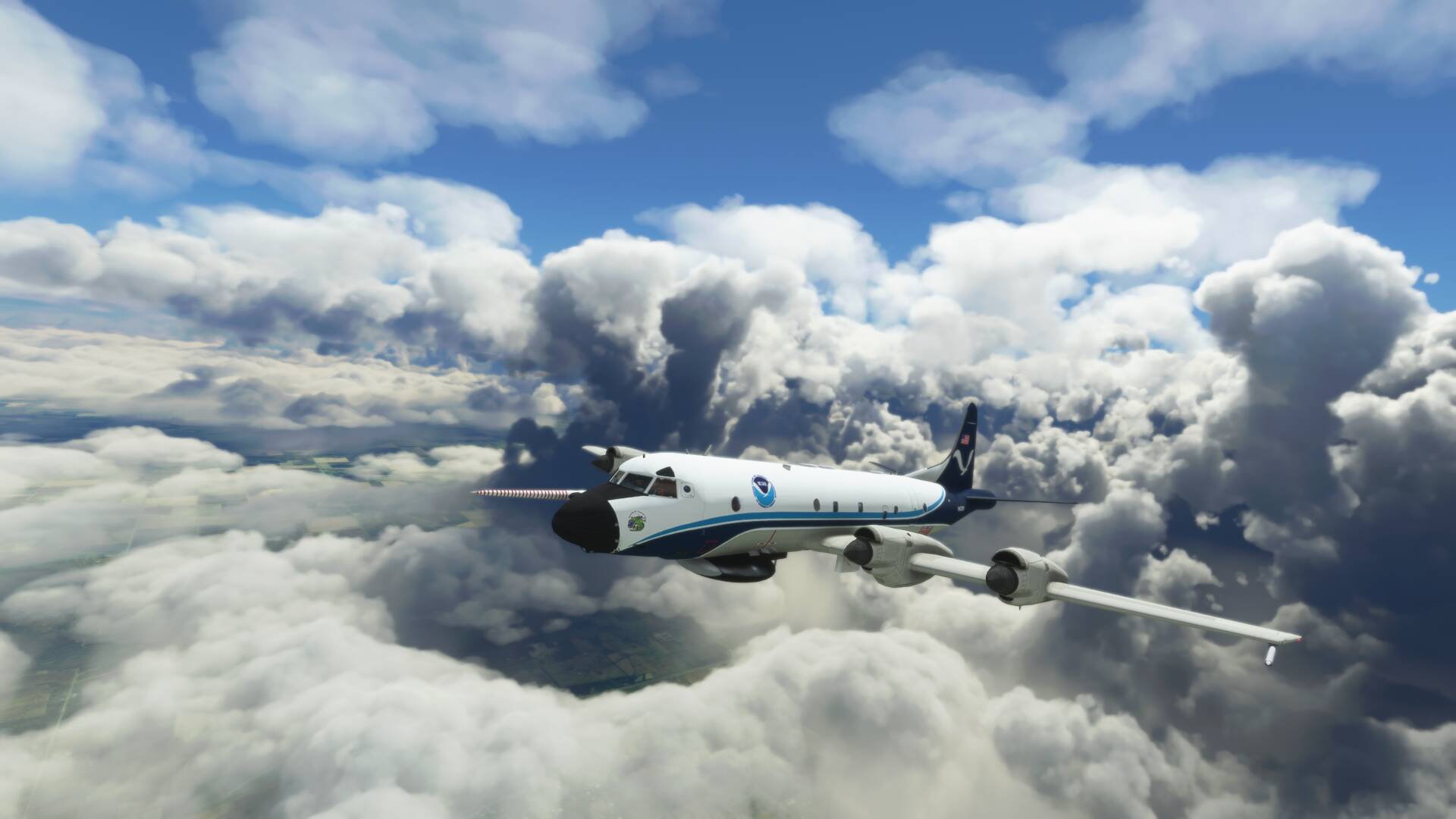
The outer walls were modelled well enough, so I tracked through to where the eye is currently making landfall, between Port Fourchon and Houma, Louisana. I watched the winds on the MFD drop from over 80 knots down to just 2 knots at the approximate location of the centre of the storm (989 hPA was the lowest air pressure I found), however the clouds did not open up to reveal clear air. I guess this is a current limitation of the data steaming.