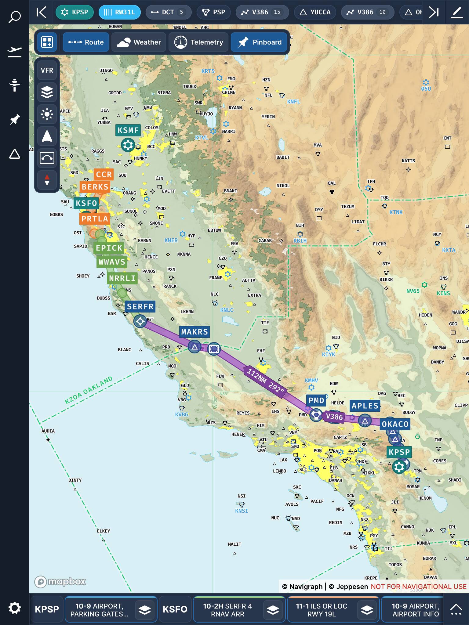
I suppose having a faux magenta line could be considered “cheating”, but think of it more like having a virtual navigator.
In the case of Navigraph Charts, the “magenta line” is really all the legs of your flight plan, with each waypoint clearly labeled. Obviously, your location is known to the app, but your navigator would be doing all that in a real-world period-correct 707 flight.
You wouldn’t be up there without charts!
This flight would require GPS, but you get the gist of what I’m talking about: