Death Valley should be -229 feet below sea level but I can’t find anything lower than 520 feet.
1 Like
Hi @meh1951,
I’ve moved this into #bugs-and-issues:scenery
It was brought up in a post in https://forums.flightsimulator.com/t/you-cant-fly-below-the-sea-level-in-dead-sea-israel-jordan/159688 but this topic was more for the Dead Sea; when this got corrected.
I would suggest also submitting to Zendesk.
1 Like
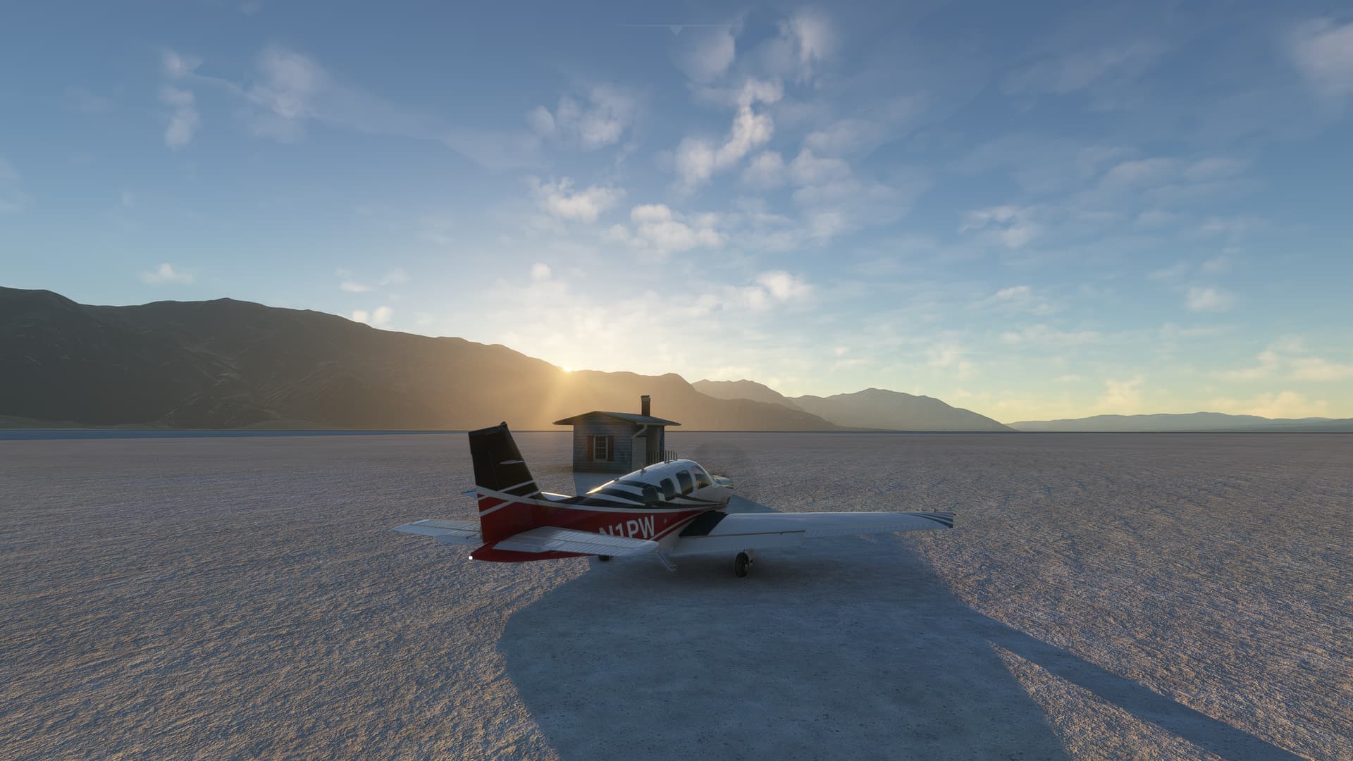
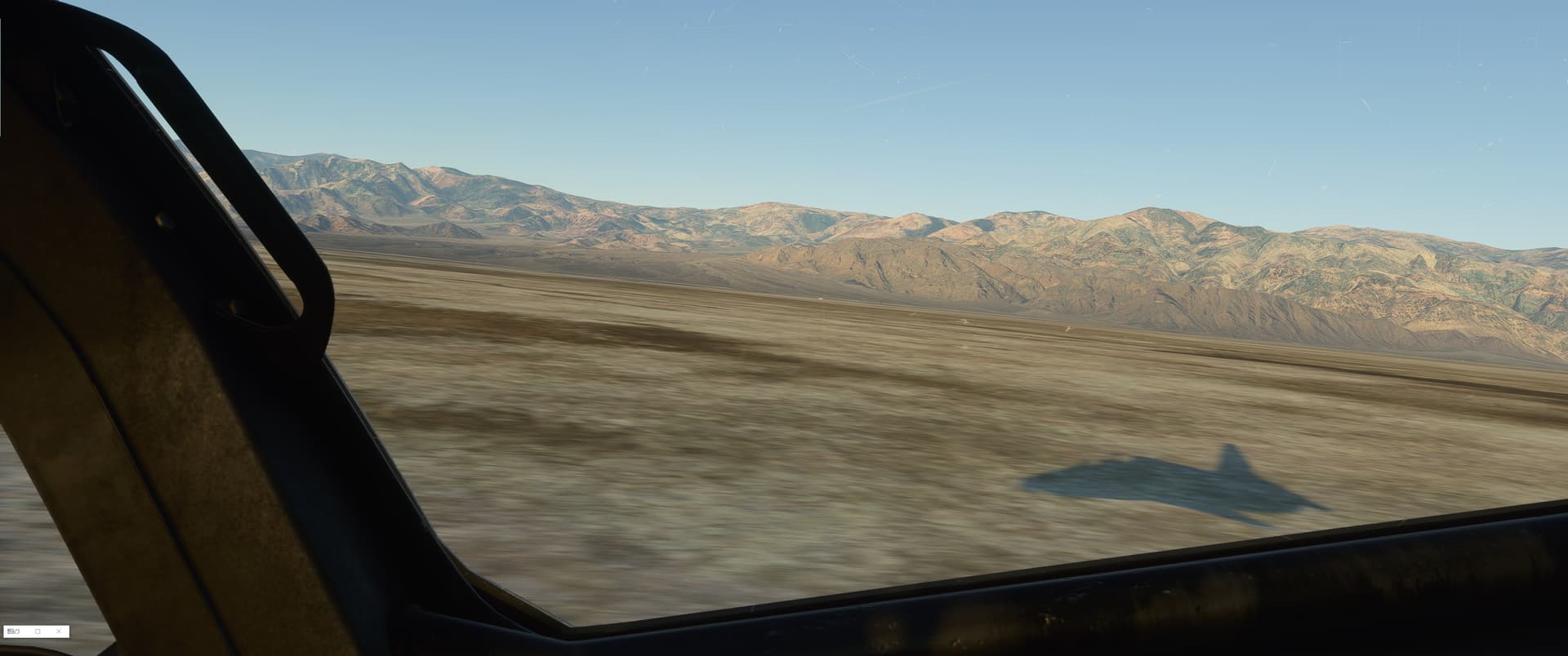
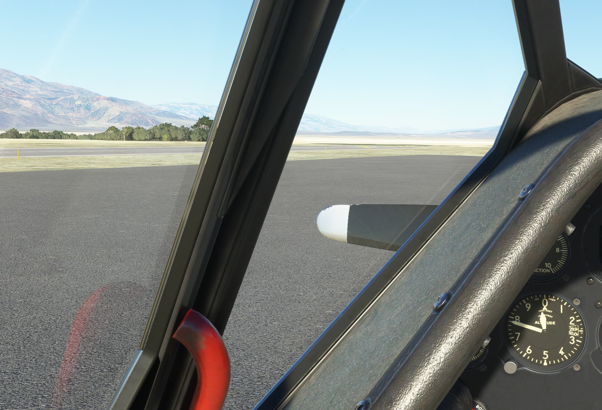
Well, these screenies are from me screaming down death valley (near badwater/furnace creek…) last year may in the simulator in the T-45 Goshawk… (i had to dive into my screenies folder)
Did you actually spawn on Furnace creek Airport? L06 is the icao i think… it should be 226 feet under sea level and is known as the lowest airport in the US of A. Maybe hit “B” to get the altimeter reset?
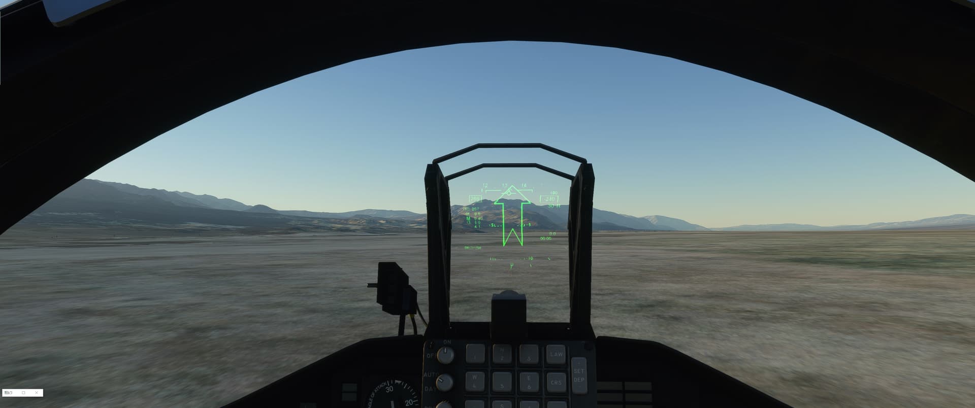
It shows -240Feet with a radar altitude telling me there’s 30 feet beneath me.
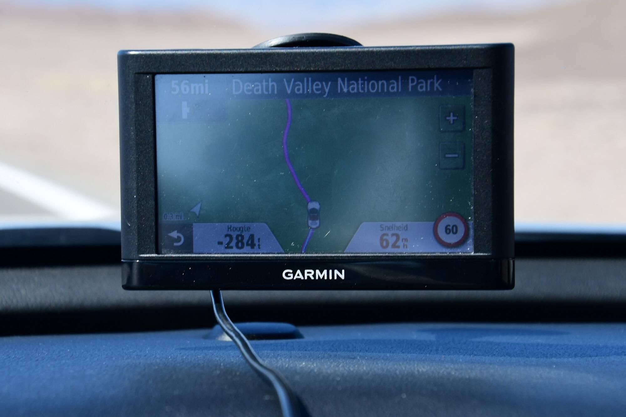
and this is a pic of my satnav from 2019’s roadtrip
But, if you are in the right location, there might just be an elevation issue occuring right now…
Woof ~ Woof
Steiny
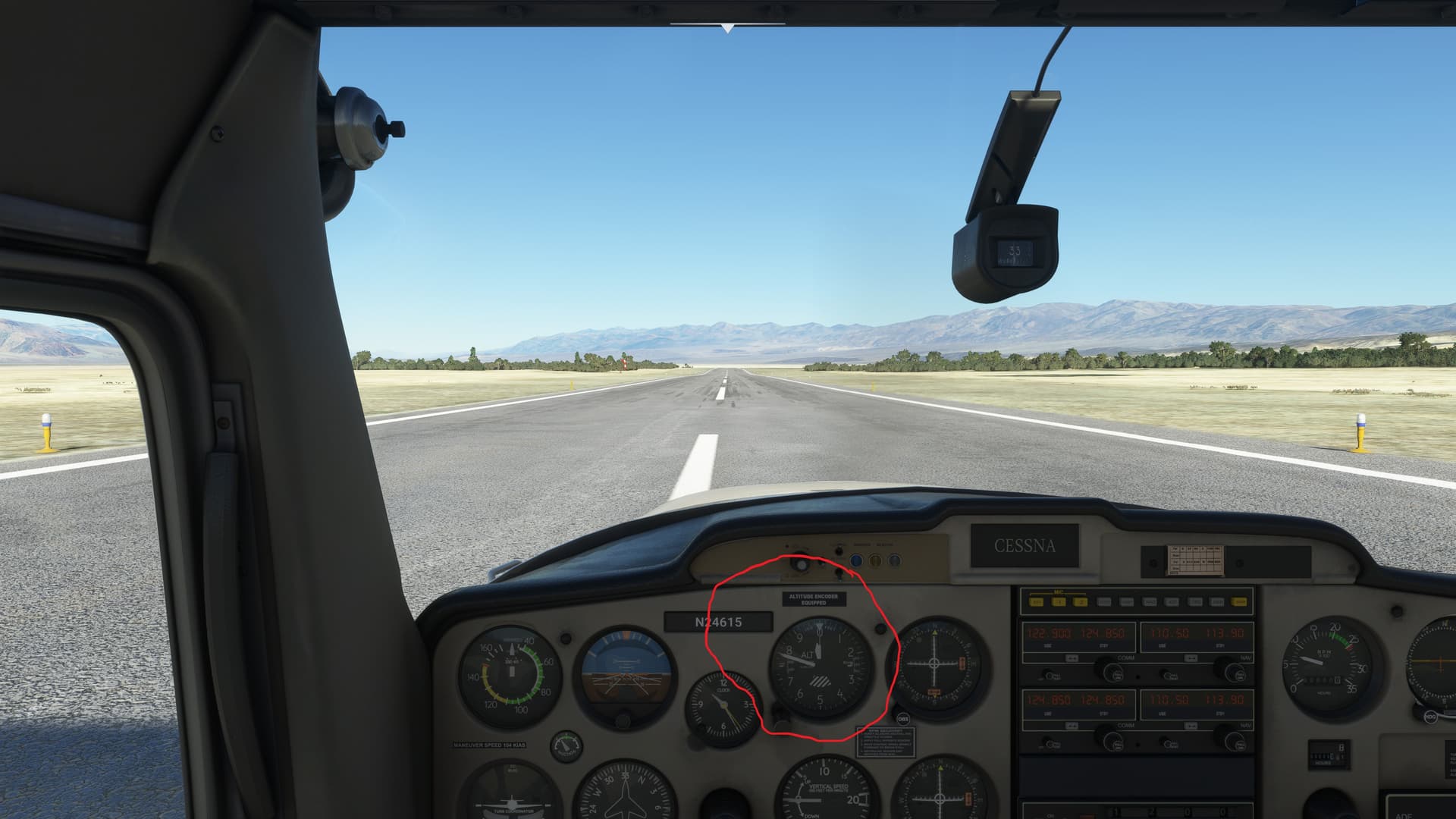
Yes near L06 I spawned at Stovepipe Wells L09. There is a hotel there. It was at 520 feet but if you look at a chart you have to go a little south about 50 miles just west of Funeral Peak should be -271 feet but its was still 520 all down through there.
1 Like
Looks like a Live Weather issue. Altimeter at L06 correctly reads -210 ft if you switch to the Clear Skies preset:
2 Likes
Looks like your on to something
Cleat Skys preset
L06’s published Alt is 25’ but it shows -200
1 Like

Sorry got L09 and L06 confused along the way
Location Information for L06
Coordinates: N36°27.63’ / W116°52.79’
Located 00 miles N of Death Valley National Park, California on 40 acres of land. View all Airports in California.
Estimated Elevation is -210 feet MSL.
Location Information for L09
Coordinates: N36°36.23’ / W117°9.55’
Located 01 miles W of Death Valley National Park, California on 10 acres of land. View all Airports in California.
Surveyed Elevation is 25 feet MSL.
interestingly enough it looks like the elevation lines in the chart are not right. They show it at 0-500
I can confirm this. Real weather the altitude is incorrect. With live weather off, the altitude is spot on.
1 Like
Wondering if it’s a Flight Simulator bug actually. The Meteoblue model MSLP plot looks close enough in the area. With Live Weather on, if you set the altimeter to 29.92, the altitude reads +210 feet at L06 (where the elevation is -210). Guessing that’s not a coincidence.
Try again, then hit the B key to reset all altimeters to the correct pressure. If there’s a low pressure system in the area, having the Kollsman window set to 29.92 might be enough to put the needles that far off.
Right, pressing b sets the correct pressure, but the altimeter reads 700 ft off the field elevation when you do so, and that’s the problem. I think it’s a flight simulator bug because the altimeter setting is correct per the current weather. I was just pointing out that setting the standard altimeter suspiciously matches the field elevation, but with the minus sign flipped. It’s like the pressure is doing something wacky when below sea level. Like it’s reverting to standard atmosphere and then flipping the field elevation to be positive.
I see what you’re saying, and after testing, you’re right.