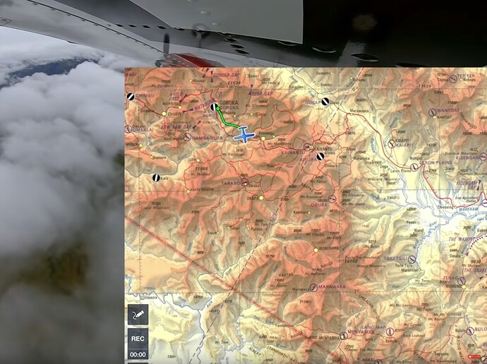
Have you watched the Missionary Bush Pilot videos on YouTube and wondered how Ryan gets those old chart overlays into ForeFlight?
If you use ForeFlight in MSFS 2020, you can do the same. I’ve created a video below to show a quick and easy way to get these charts into ForeFlight as a georeferenced overlay. I used an old Papua New Guinea aeronautical chart as an example. Here’s what you’ll need:
-
Get the chart here: https://maps.lib.utexas.edu/maps/tpc/txu-pclmaps-oclc-22834566_n-15a.jpg
The site has other charts like this if you want to try using something else: Tactical Pilotage Charts - Perry-Castañeda Map Collection - UT Library Online -
Get the FREE desktop version of MapTiler here. It’s simple to install and use: Turn your geodata into tiled maps | MapTiler
-
Watch the short video to get started. Links to the full video version included in the description:
Hope this helps!

