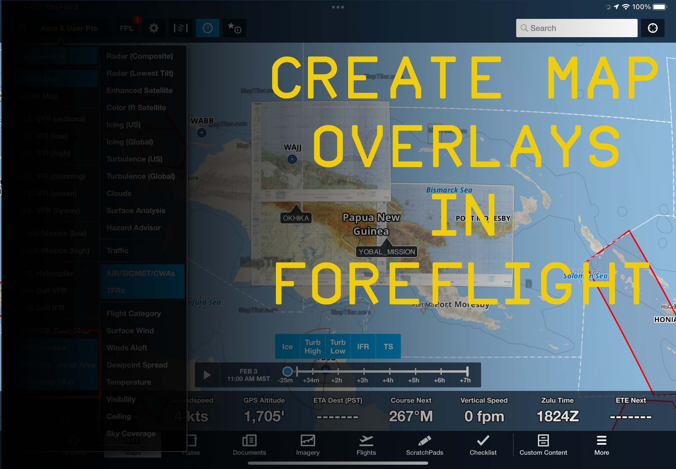
If you use ForeFlight for MSFS 2020 and you want to add custom chart /map overlays, I’ve created a quick video over on the creators channel to show you how:
I haven’t watched your video, but what would be amazing would be getting Navigraph (Jepp) charts into FF. I have a subscription for the US (ForeFlight Jepp US), but most of my sim flying is in the Caribbean. I use Navigraph for that.
I imagine you could take some of the data in PDF format from Navigraph but I envision some kind of rights violation.
I use ForeFlight globally and so have charts for some areas. But where I don’t, I’m using the Navigraph app on the iPad. As you said, I get georefernced charts in Navigraph for what I really need: SID, STAR and approach plates.
I open both apps side-by-side on the iPad. Nice thing about Navigraph in addition to the approach charts is that the SID and STAR plates are georeferenced. This isn’t the case in ForeFlight. Would that solution work for you?
1 Like
Yeah that’s exactly what I do honestly. It just gets annoying hopping back in forth. Really the only two reasons I use FF and not just Navigraph exclusively is winds aloft and traffic on FF. Of, and getting the local QNH.
What and where do you fly in real life?
1 Like
I hear you. I’m based in AZ and fly the 172 G1000.
1 Like