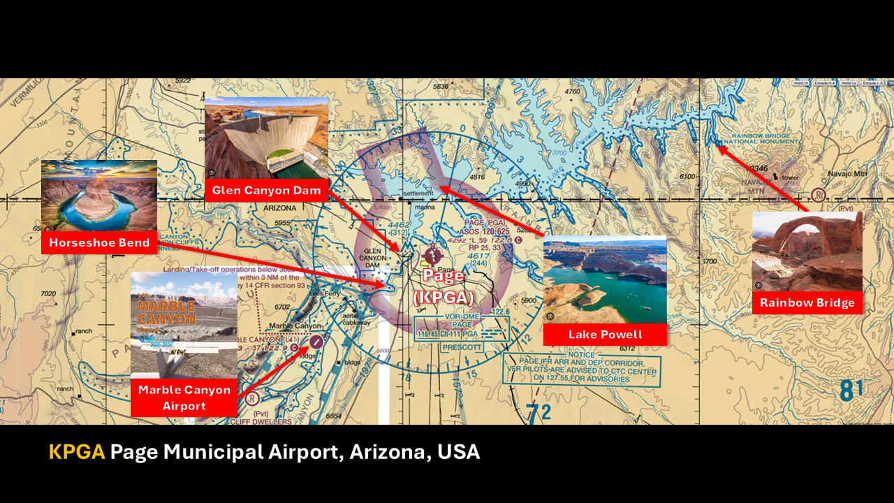
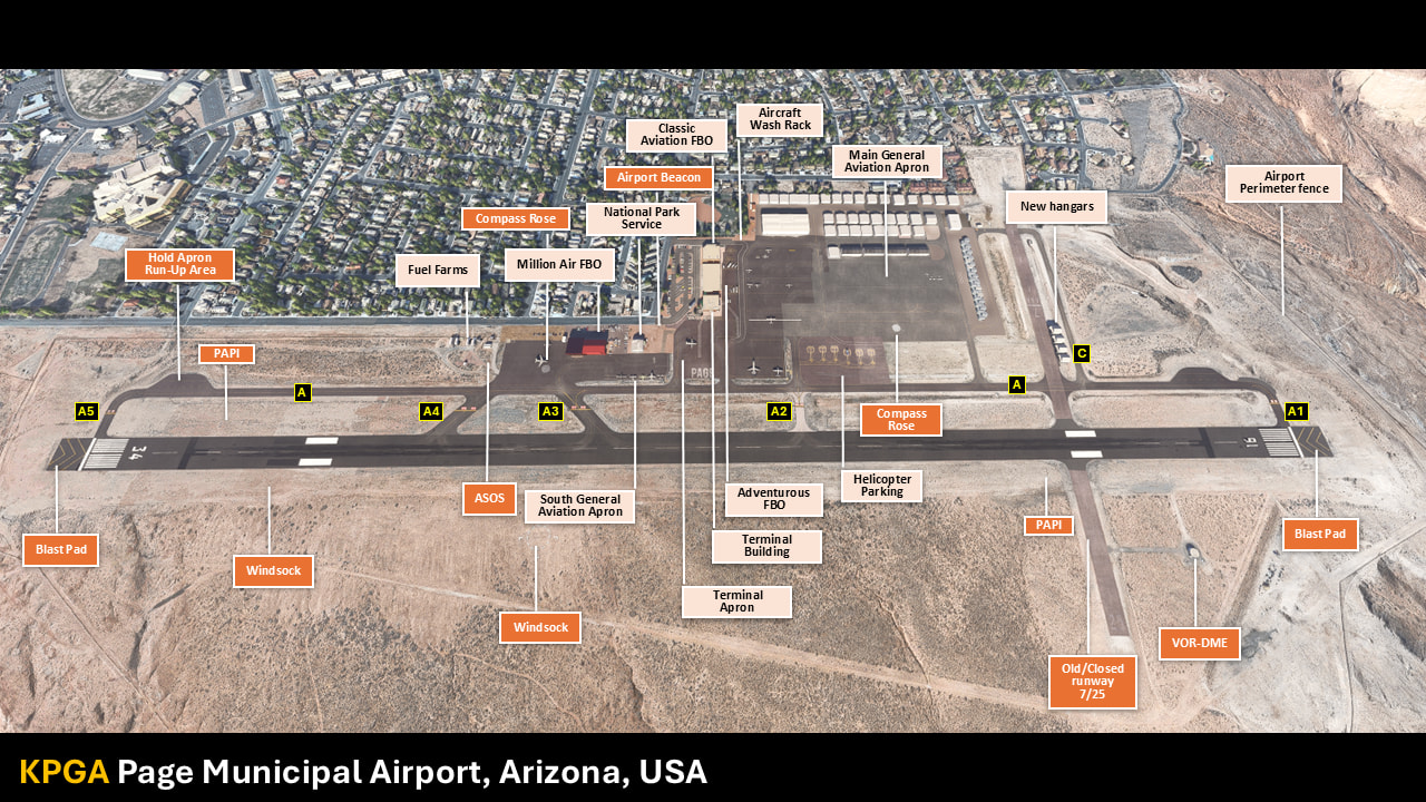
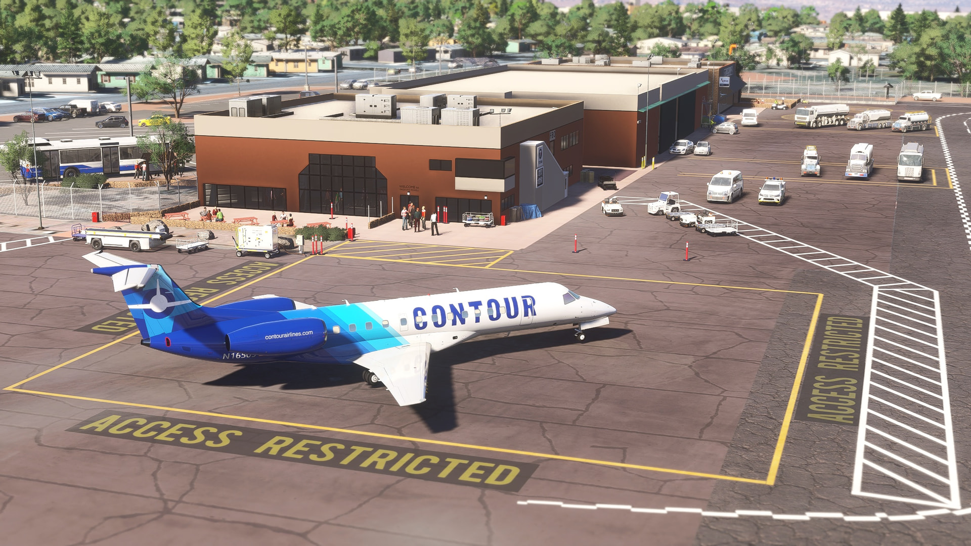
Page Municipal (KPGA) is a regional airport in Arizona. It’s at the center of the Grand Circle Parks: Grand Canyon, Arches National Park, Lake Powell, Bryce Canyon, Monument Valley and Zion National Park) inviting travelers to come and explore with regular sightseeing flights over Lake Powell, Glen Canyon Dam and the Horseshoe bend.
Author’s note
As for all of my MSFS mod, this small scenery is made from a pilot-eyes perspective. The scenery is inspired by aerial views from Bing and Google maps. It’s a mix between the satellite imagery displayed from MSFS and more accurate data found on Internet. I did my best, based on online videos and pictures freely available. I also used some of my personal video taken during several of flights here, just as a visitor. Hundreds of objects have been added to the default scenery to make it more live. If you have local pictures to help being more accurate, please, let me know!
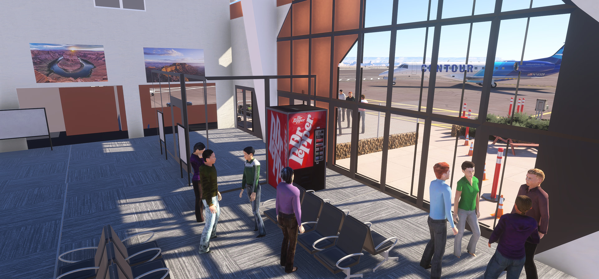
One more update v1.0.4 with terminal interior . Thanks to Bishopofwings / Paul Rotramel for his donation of the Blender objects! Believe me I can’t do what Paul did! THANKS!
Version 2.0 is the latest update. It brings compatibility with Microsoft Flight Simulator 2024. This version include also fixes and a lot of improvement for MSFS2020. Download for free for PC at https://flightsim.to/file/51051/page-municipal-airport-kpga
Add new static airplane and helicopter.
Replace the whole border fences.
Update spot markings (and carpark markings as well).
Fix MSFS2024 vegetation.
Fix MSFS2024 wrong pond waste water.
Fix several taxiway centerlines appearing by mistakes.
Version 2.1 is live! Dive into the stunning landscapes of Page, Arizona with the most accurate and up-to-date KPGA scenery yet. This update brings real-world changes and fixes for both MSFS 2020 and 2024, ensuring an immersive and realistic experience.
What’s New?
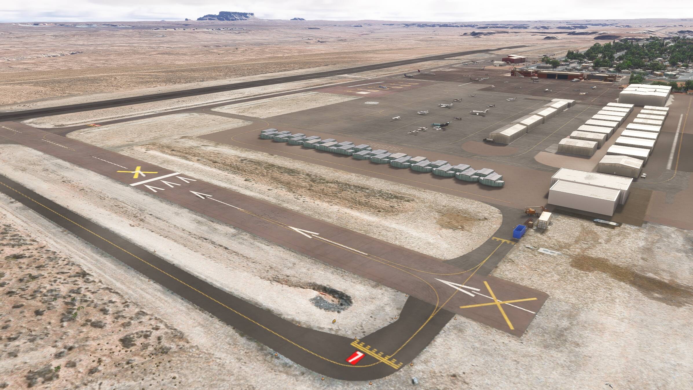
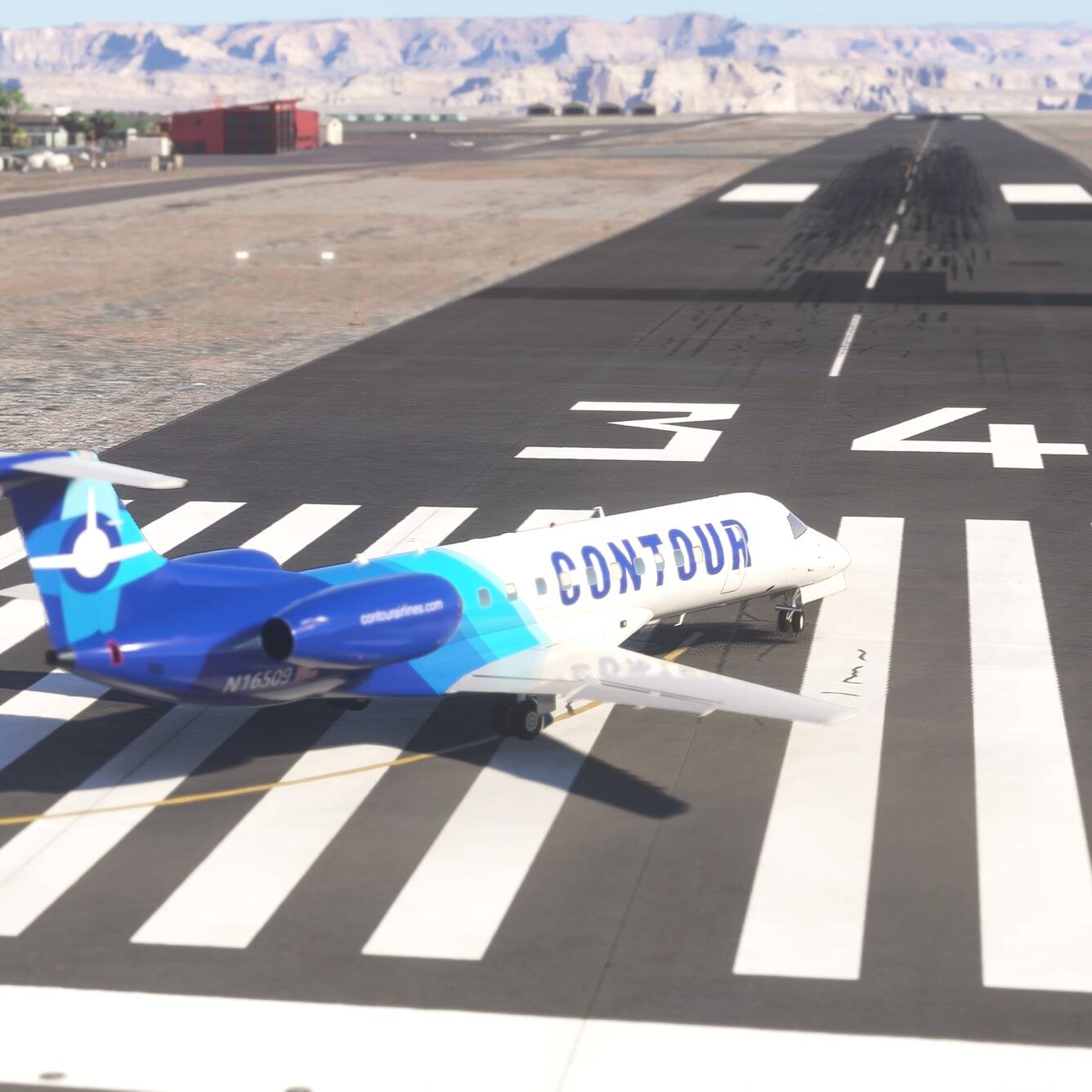
Runway 7-25 permanently closed (official as of 8 Dec) – yellow crosses added New hangar west of the T-hangar group Construction objects on threshold 07 (ground markings removed) Runway 15/33 renamed to 16/34 (effective 23 Aug) – updated markings and taxiway signs VASI replaced with PAPI on runway 16/34 Fixed invisible T-Hangars (MSFS2024) Removed erroneous taxiway lines Fix bug water/river on apron(MSFS2024) Corrected parking lines for stands 4, 5, and 6
Yep. Same assumption. I was also “surprised” to see the update of the 16/34 only via NOTAM and no chart updated yet. My scenery is maybe a little step ahead. All marking and taxixay signs are uptodate At least, in real runway 15/33 and 7/25 doesn’t exist anymore.
Enhance taxiway and runway textures to reflect last construction work (add more real runway patches)
Fix rocks around PAPI lights (MSFS2024)
Fix static plane
Fix fake water on apron (MSFS2024)
Fix textures around VOR
Fix ugly tin/grey area on Lake Powell (thanks for the report to pierreaf at flightsim.to) . Bug reported on MSFS official forum, please vote : Artefact in Lake Powell (north of KPGA)
… Fix a lot of tiny things that no one will ever notice
I’m finally sticking my toes back into Simming again… spent a couple of years away modeling the Collings Foundation’s new wing for them… I’m coming back and seeing all your work, I can’t wait to check it all out, and find all those tiny things no one will ever notice! Thank you so much.
I’m from MA, but my brother lives in Flagstaff (they lived in Tuba City for 15 years), so I love everything AZ, and I love California, too… Maybe you can look at Paso Robles someday (I almost bought the P.149 that was at the museum there)? Not that you haven’t done enough already, I’m not sure how I’m going to check out all you’ve done as it is, you’ve done so much! Thank you. Love it!
A important update v3.0 will arrive very soon for all Page, KPGA lovers. A lot of improvement and several addition and removable to get as-real-as-it-gets. Stay tuned.
I am beyond thrilled to announce the official release of Version 3.0 for my freeware Page Municipal Airport (KPGA) scenery, fully compatible with both MSFS 2020 and MSFS 2024 (PC only).
As always, this project is 100% free for the community and the result of countless hours of amateur work. You can grab your copy right here: Download KPGA v3.0 on Flightsim.to
Why Page, AZ is a General Aviation Paradise
Located in northern Arizona, KPGA is the ultimate base camp for VFR pilots and GA enthusiasts. The surrounding region is packed with world-famous landmarks just a short, scenic Cessna flight away:
Version 3.0 is a massive, ground-up refinement. It includes hundreds of fixes, updates, and invisible under-the-hood improvements that elevate the immersion to a whole new level. And don’t forget for a massive shout-out and thank you to Bishopofwings (Paul) for generously providing the 3D interior for our custom Blender terminal. Yes, it’s a freeware and there’s interior terminal modeled ;))) The flightsimming community dev network is truly fantastic!
Highlights of v3.0:
Removable Static Aircraft: 60 static aircraft and objects on parking spots can now be toggled on/off instantly via an included batch file (Toggle-Static-On-Off.bat).
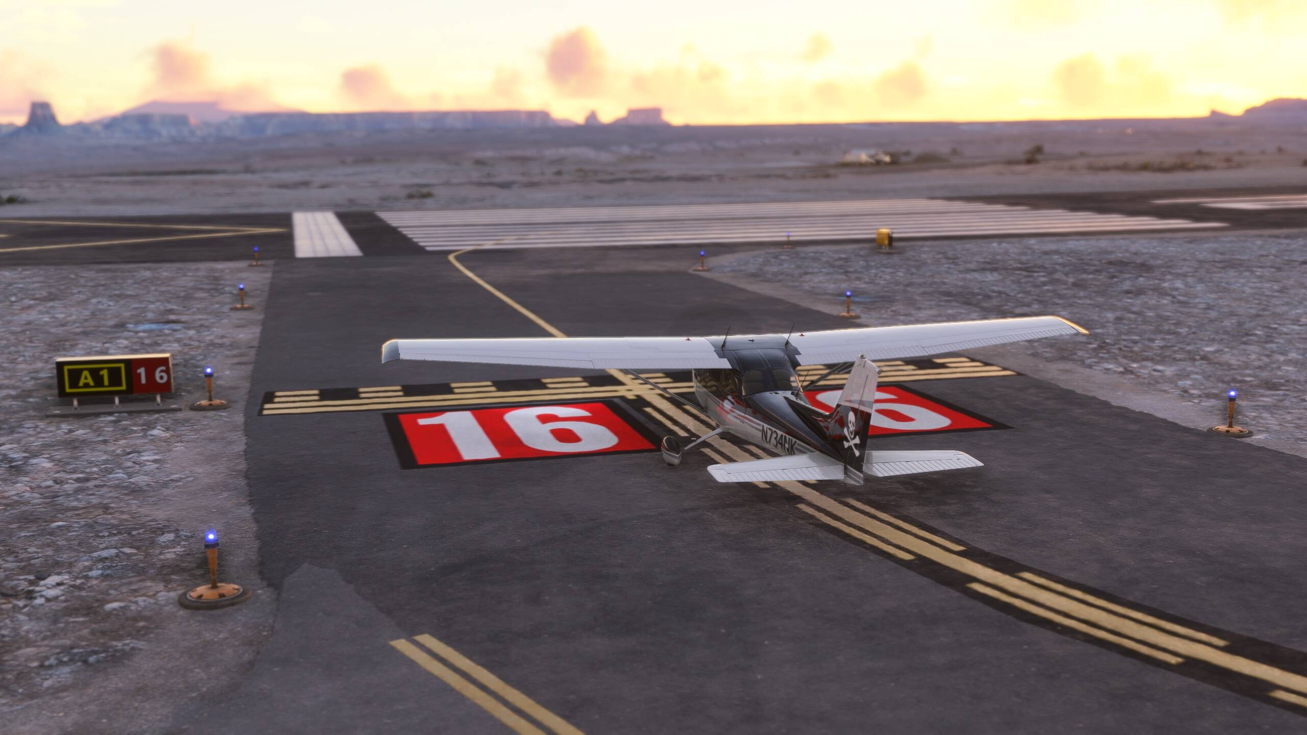
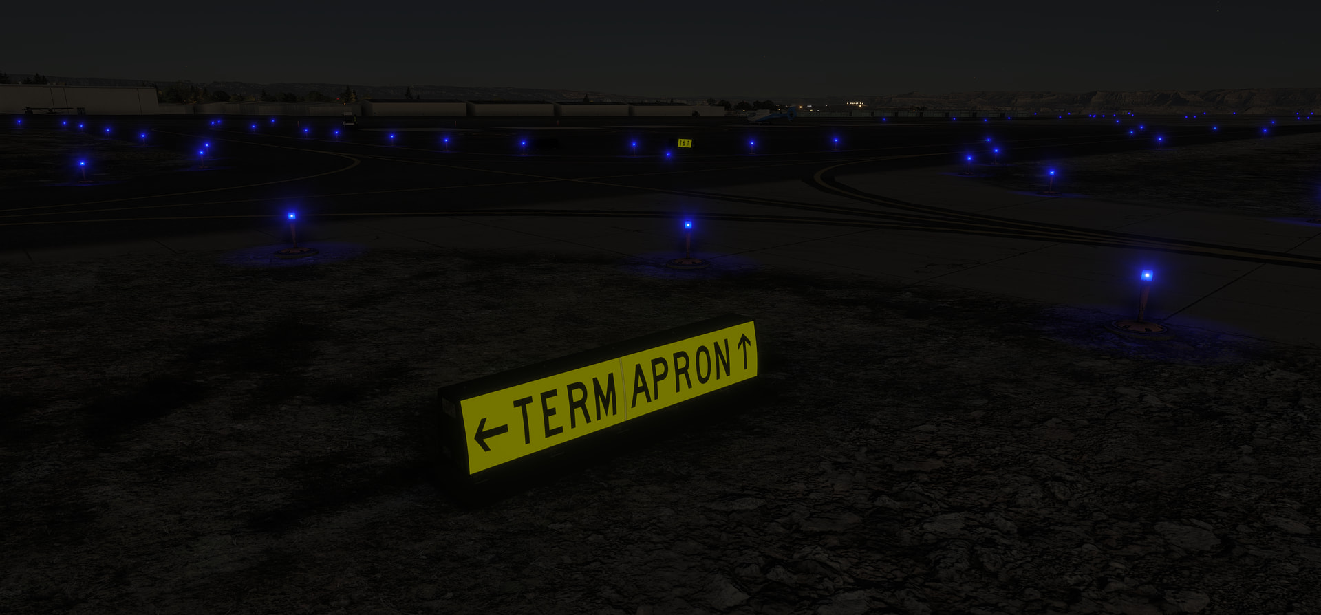
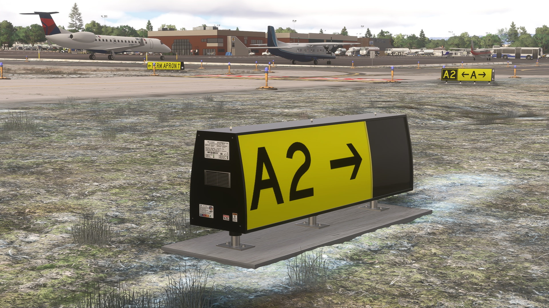
Handcrafted Taxiway Signs: 30+ objects completely replaced, accurately repositioned, and feature correct colors and shapes (including runway distance remaining signs along side the only residual runway 16/34).
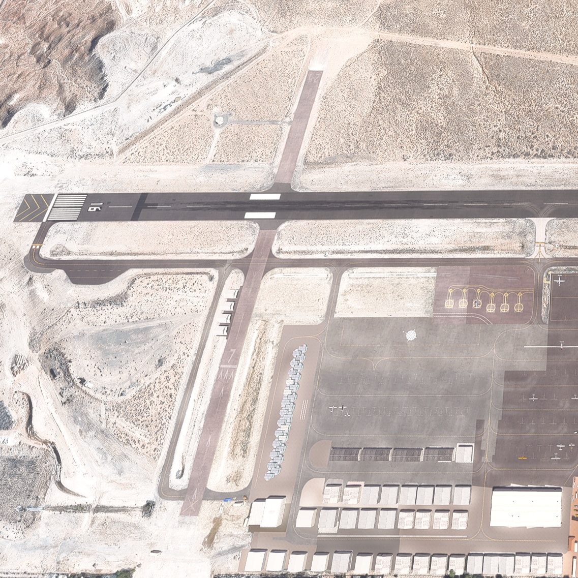
As-Real-As-It-Gets Realism: Runway 7-25 has been totally removed from the scenery to match current charts.
Expanded Infrastructure: Added 4 brand-new hangars along the closed 7-25 runway.
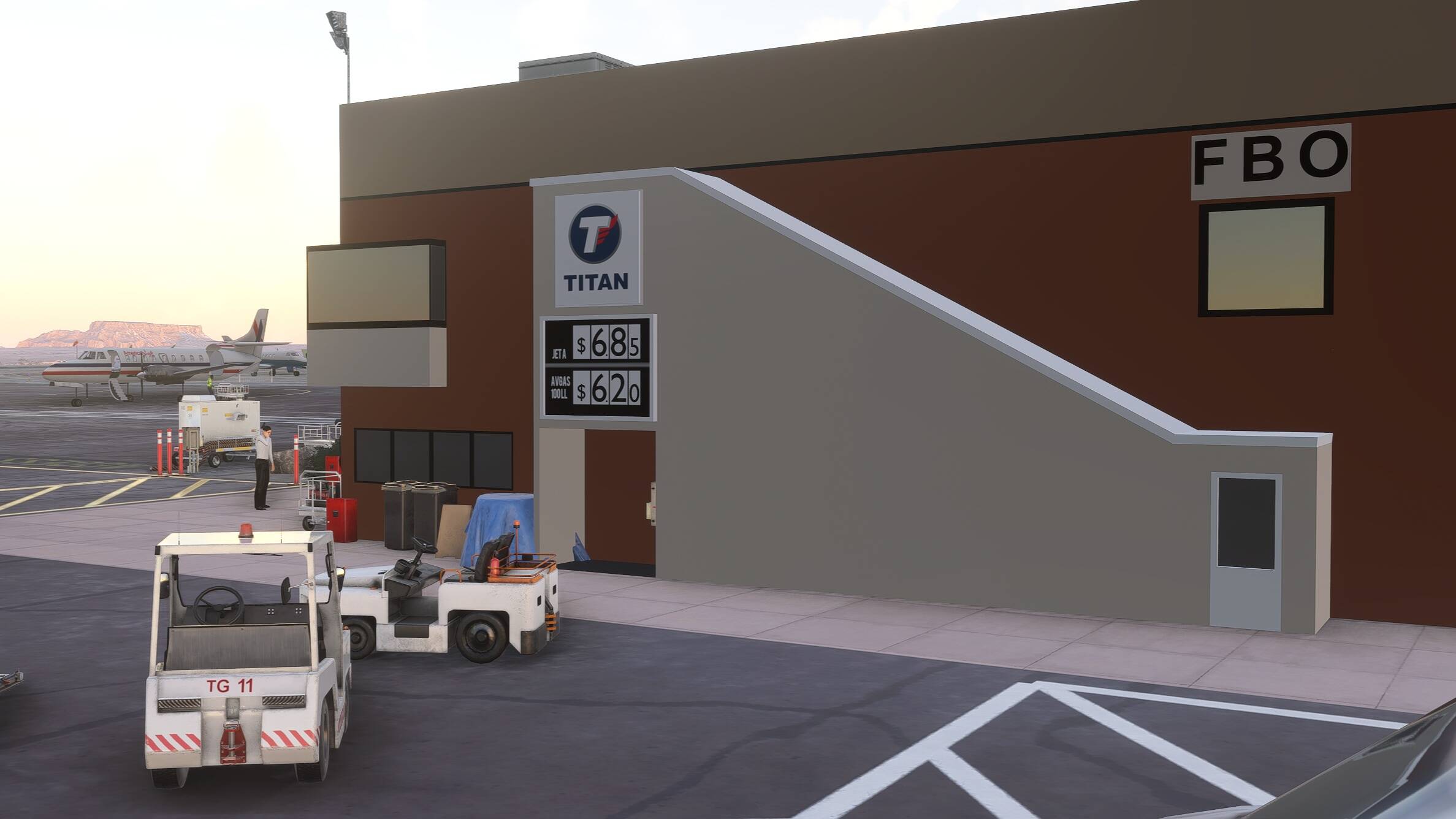
FBO & branding updates: Updated fuel prices and provider signage at the American Aviation FBO (now TITAN instead of Shell), plus improvements to the Classic Aviation FBO hangar sign.
Precision ground markings: Fixed yellow align centerlines for Runway 16-34, updated taxiway centerlines, ground markings, and border fencing.
Lighting & accuracy: Repositioned blue edge poles (reduced quantity for realism), added elevated edge reflectors, and corrected PAPI-2 positioning (replacing VASI-4).
Terraforming & Visuals: Updated terraforming at each runway end and taxiway shoulders, plus a fix for main terminal window transparency.
A Quick Note on Runway Numbering:There is still some real-world confusion regarding Runway 16-34 vs. 15-33. While very few recent photos show 15-33, NOTAMs and the official city airport website confirmed 16-34 as the official designation. (Even real-world pilots have been caught arguing about it on YouTube air-to-air feeds!)
Thank you all for your incredible support, downloads, and feedback. Clear skies and happy flying!
Release Note
60 Static aircraft and objects on parking spot are removable via a batch file (Toggle-Static-On-Off.bat)
All new custom handcrafted taxiway signs! 30+ object have been replaced and accurately re-positioned. Including runway distance remaining signs. Correct color and shape.
Finally, runway 7-25 is totally removed from the scenery (as-real-as-it-gets)
Add 4 new hangars along closed 7-25 runway
Reposition of all blue poles, reduce quantity (closer to reality)
Add “elevated edge reflector” instead of some electrical blue poles (closer to reality again)
Fix yellow align centerline runway 16-34
Fix and update taxiway center lines and other lines and ground markings
Fix border fence
Fix main terminal windows transparency
Fix position of PAPI-2 (instead of VASI-4)
Improve Classic Aviation FBO hangar Sign
Update Fuel Price American Aviation FBO (new sign) and provider (TITAN instead of SHELL)
Update terraforming at each runway end and on taxiway’s shoulders
Remark: there’s still confusion on runway 16-34 or 15-34. Very few recent pictures show 15-33 but NOTAMs and the city airport web site announced 16-34 is official runway for weeks now. Video on youtube shows air2air discussions between pilots arguing
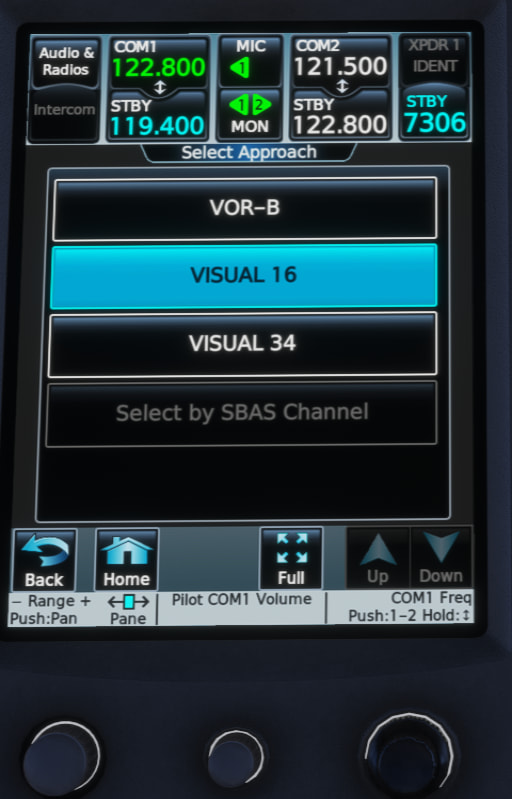
Love the scenery! I do have one question - with the scenery installed, I lose all approaches (See screenshot). I uninstalled it and they all returned. Would like to see if we can get the RNAV approaches added back? I suspect it’s because the original scenery is using runways 15/33 and so is the navdata from Navigraph, but your scenery as you mentioned is using 16/34. Is there a work around here? Thanks!!
You’re facing the mystery of data not updated. And I don’t know why. Even the comments on Foreflight warn about this inconsistency. Would love to know why and how to fix this.
NOTAMs and the airport owner has changed to 16/34 but navdata are not. One day I had to choose to upgrade or not, waiting for all in sync, be ready for the proper airac to be published. The 16/34 has been set end of last year as far as I remember and I suspect there’s something wrong somewhere… Considering all my markings are now 16/34, I don’t want to get back to 15/33 then redo few after.
!PGA 06/018 PGA RWY 15/33 NOW RWY 16/34 2606301444-2609301200
The issue shouldn’t really be noticeable if the NOTAM was first publised 30th of June This NOTAM is republished regularly. First appearance of this exact same - renaming 15/33 into 16/34 - in December 2025. +7 months ago
In the sim world, I think we should separate navdata, charts, notams and scenery discrepancy. My question is why the Navigraph navdata from your whatever-GPS displays 16/34 without any approach and don’t stay at 15/33 with the old ones, as Jepp, Foreflight and all the rest of the real world…
Sounds like Naivgraph is not going to make the change because the NOTAM has an end date and the FAA still hasn’t changed everything officially. Even the charts as far as I can tell on my Foreflight still show 15/33. So I suspect other users will have the same challenge where the RNAV approaches will not show up.


 Runway 7-25 permanently closed (official as of 8 Dec) – yellow crosses added