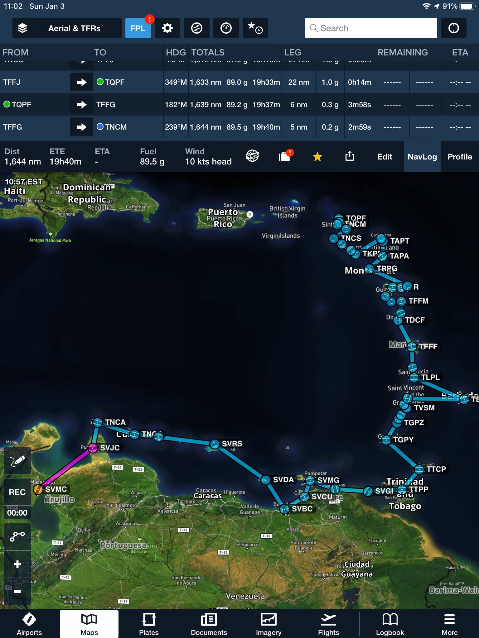
So here it is: my flight plan from Barcelona, Venezuela, to St. Maarten. I will be hitting the ABC islands (Aruba, Curaçao, Bonaire - they’re actually the ACB islands), a few islands on the coast of Venezuela as well as a few coastal airports, then from Trinidad to Tobago to Grenada, St. Vincent and the Grenadines, Barbados, St. Lucia, Martinique, Dominica, Guadeloupe, Montserrat, Antigua, Barbuda, Nevis, St. Kitts, St. Eustacius, Saba, St. Barts, Anguilla, and finally the two airports on St. Maarten, ending at Princess Juliana. In between I will hit every single little airport in the Caribbean between Trinidad and Anguilla.
I will be doing this in the 152, real weather and real traffic. The longest leg will be 133 NM, about 90 minutes, and only a few legs will approach an hour. A lot will be 20 minutes or so.
I will be posting screenshots and landings, and possibly (quite probably actually) a few full legs.
5 Likes
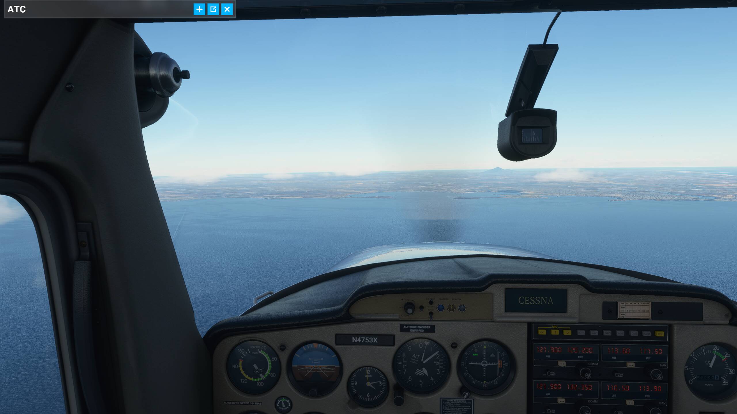
Alright, day 1, flight 1, from Maracaibo to Paraguana:
SVMC - SVJC - 118 NM - duration 1:23 hrs. - Cruise altitude 7,500
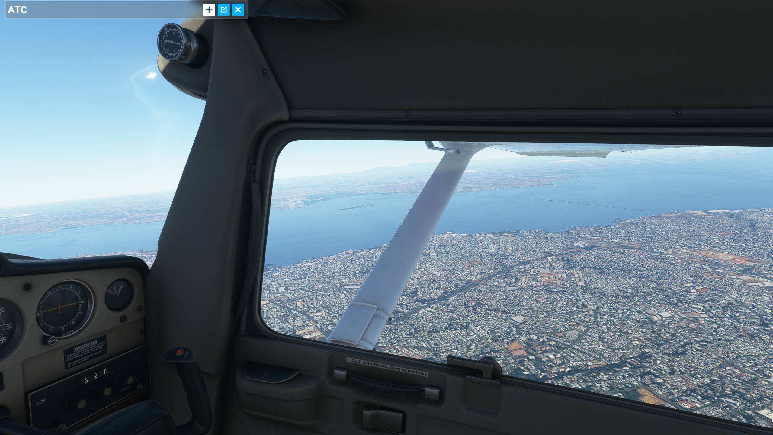
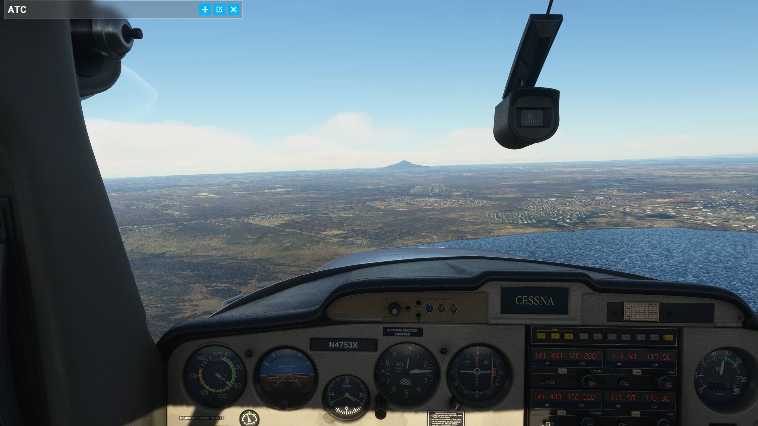
Climbout from Maracaibo:
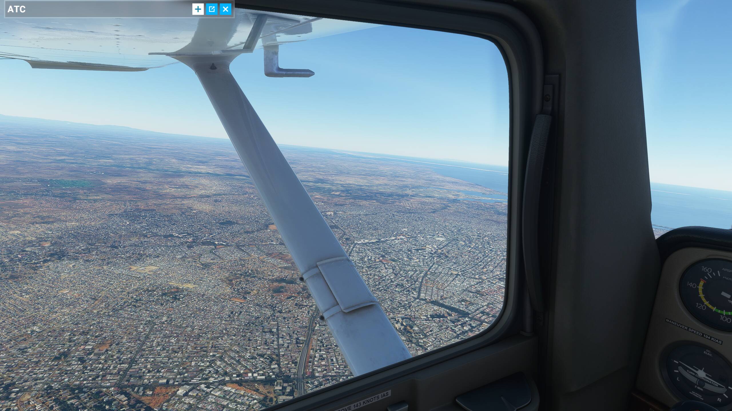
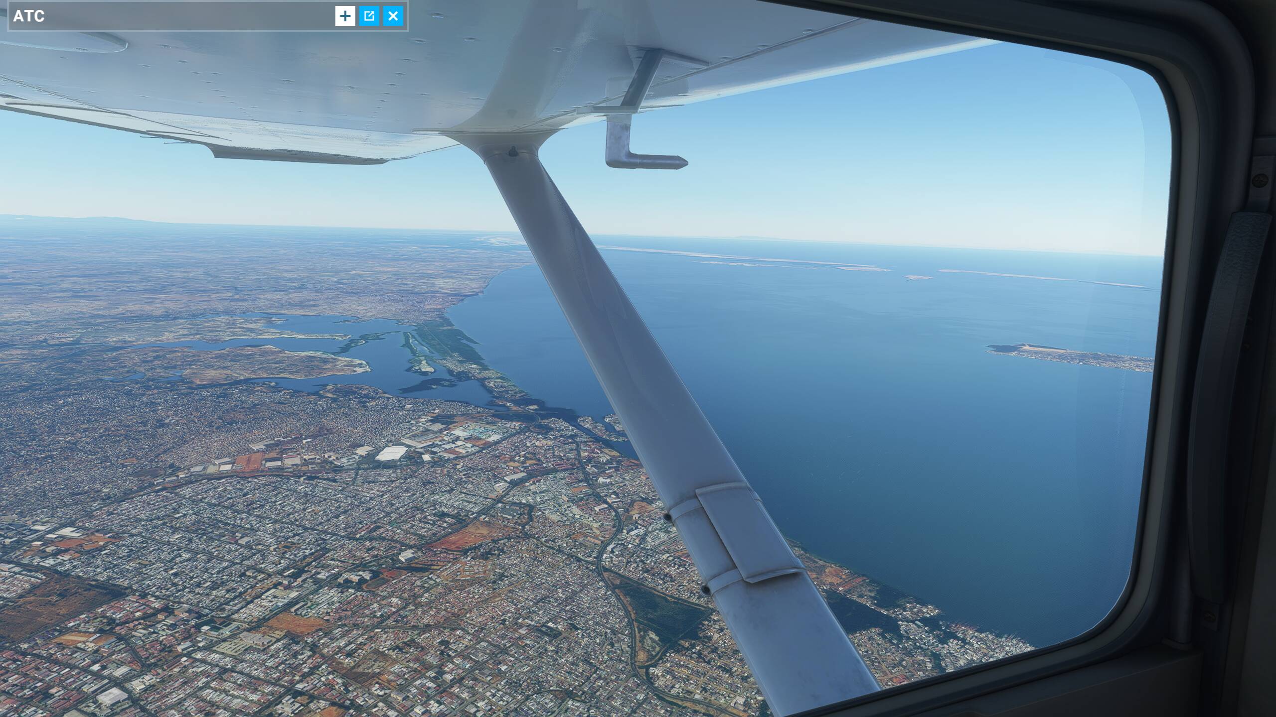
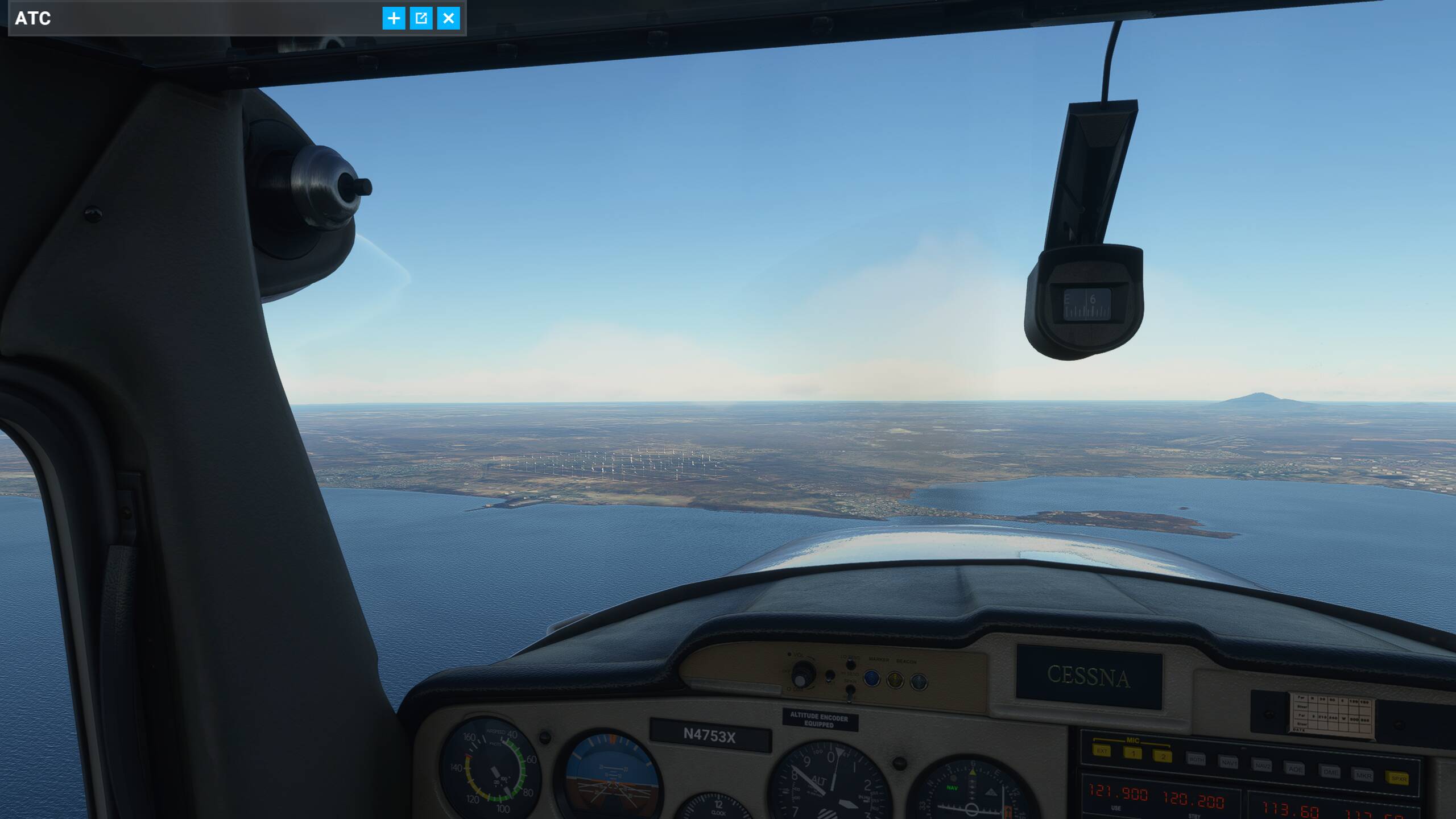
Approach into Paraguana:
Not sure if those windmills are actually there.
Next stop: Aruba (Bahama, come on pretty mama…)
2 Likes
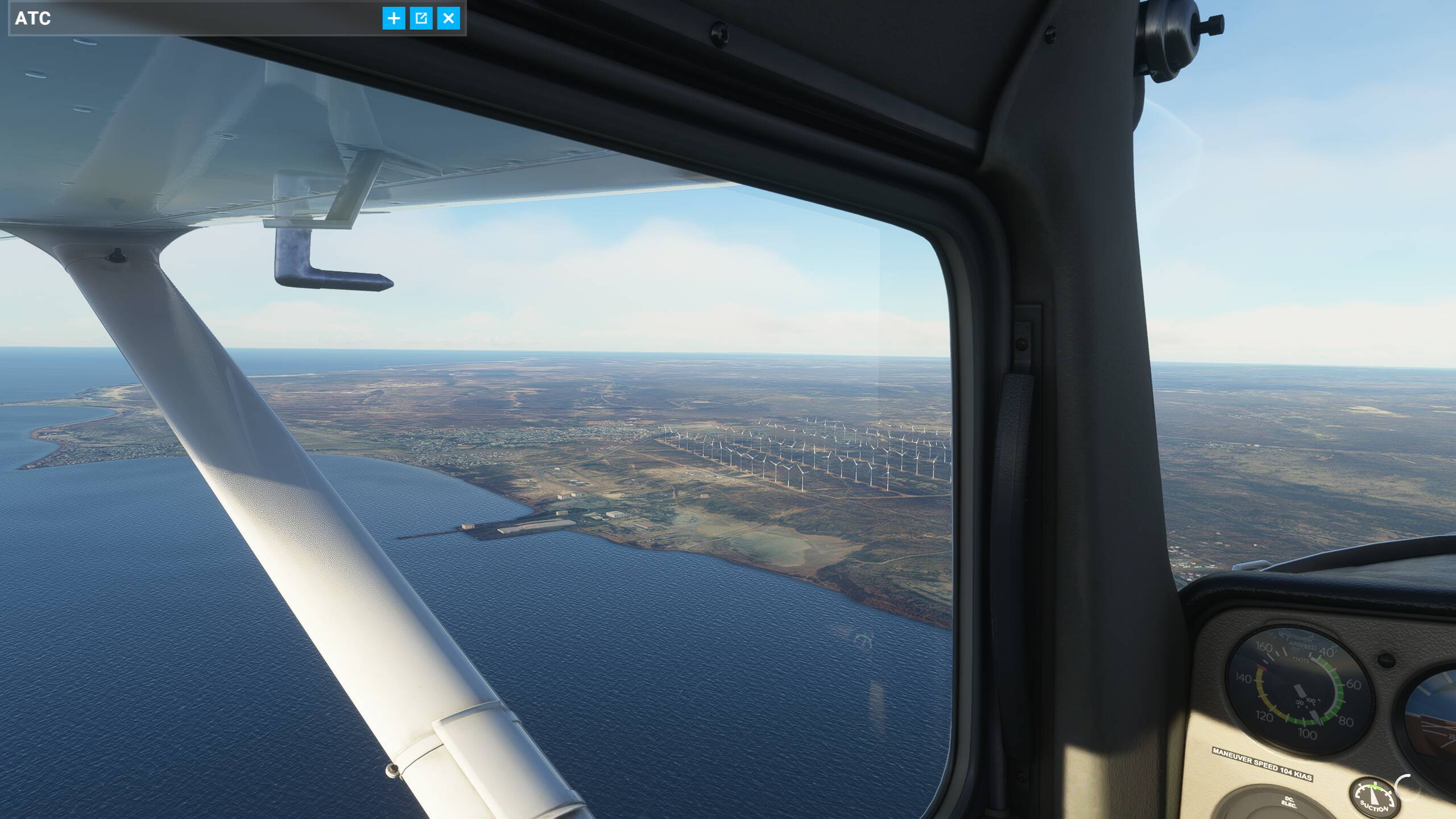
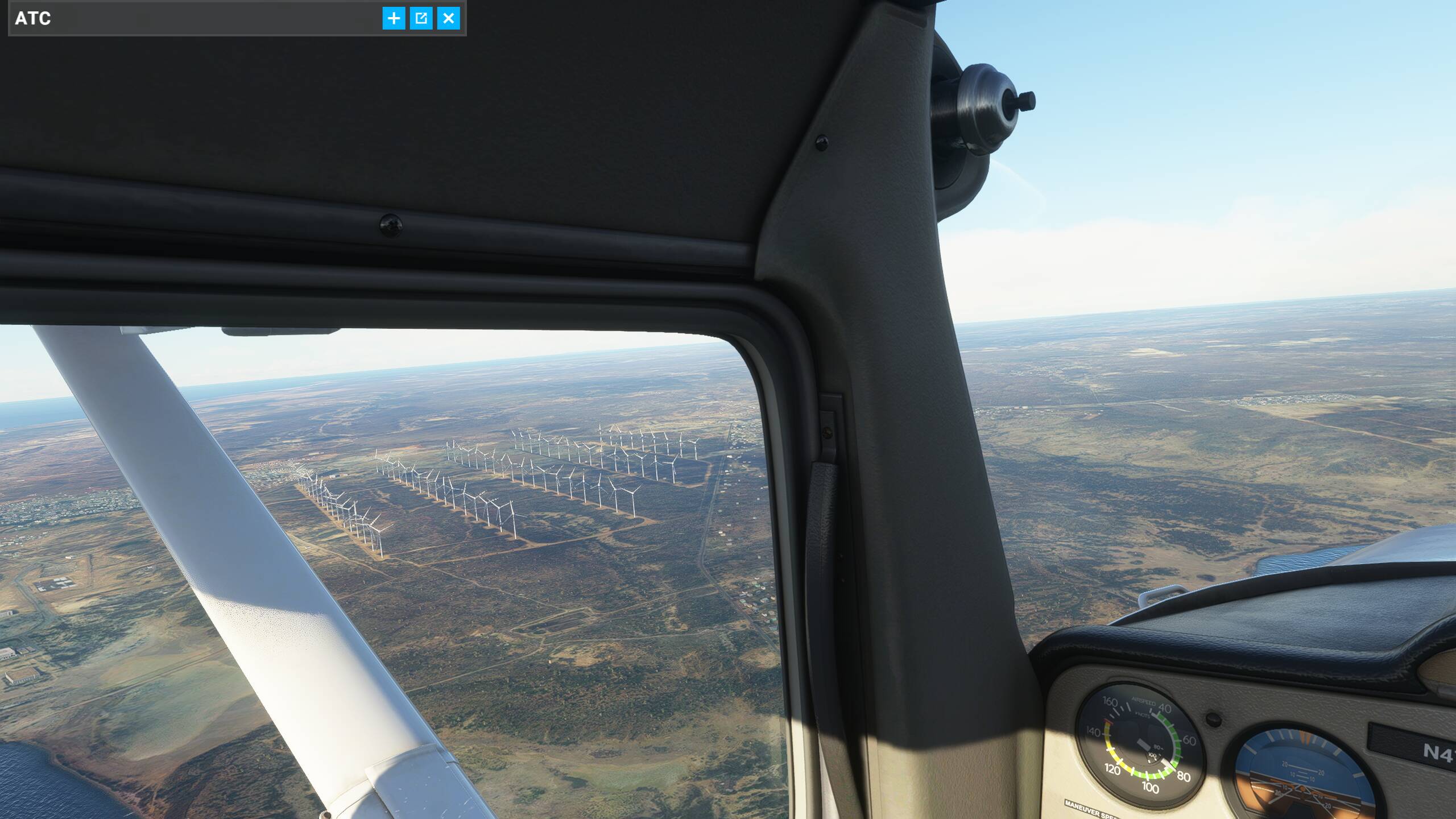
Lo and behold, that wind farm does exist… and like everything else in Venezuela, isn’t working at the present time.
2 Likes
I’d steal a 208 for that kind of ferries.
Works better with drug transports.
1 Like
Hi there,
Interesting planer / logbook tool, would you mind sharing here where to get it?
Take care
Mick
1 Like
Hey Mick,
That’s an iPad app called ForeFlight. Great chart, planning and logbook solution, but it’s actually for real-world use (I’m a RW pilot) and it’s not cheap, at least not for flight simming.
I would recommend skyvector.com. Also a great planning tool.
1 Like
I understand, too bad but thanks for coming back with this
@anon17491698 would you be interested in posting some of these flight plans on World Tour Flights? It would be great if you could grab some screenshots of some of the interesting areas you’ll fly through and then post the flight plans to share with the community.
I’d be happy to - thanks for the suggestion!