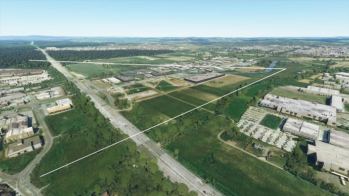
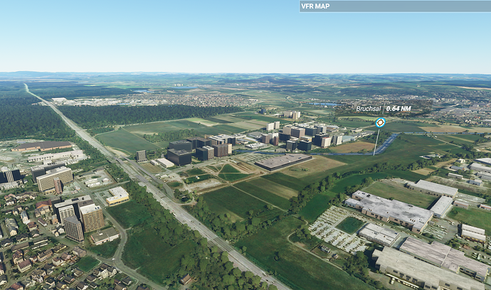
Comparison screen shots have a greater impact if you have the before and after showing the same view.
Before (yours)
After (mine)
I can see the building problem quite clearly in my new 'after" shot. But allowing for slight colour differences between PCs, the textures look identical to me. The tree density is difficult to gauge from the photos but they do seem a bit less dense in the upper left off in the distance, but that might have more to do with my tree settings as I only use ‘high’. The problem of trees popping in and out has been around for some time, but I had only noticed this in very dense urban areas. Try a flight around Chicago and you’ll see what I mean.
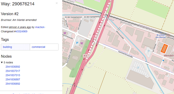
I think MSFS gets its building data from OSM which I had also used to create buildings for photo realistic scenery in Aerofly. If you look at the individual buildings in OSM you can see what has happened.
OSM has building outlines for all structures tagged as a building. Then depending on the person who created this data, sometimes has further data advising additional like the height, number of levels, building use etc.
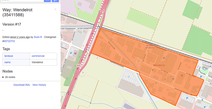
If we take the group of buildings with the problems and look in the data in OSM it becomes clear that the problem lies with those buildings having no OSM data other than 'building = yes" and a building outline. For some reason Asobo decided these buildings should all have 10 floors. Probably works fine in New York, but is a bit of a disaster elsewhere.
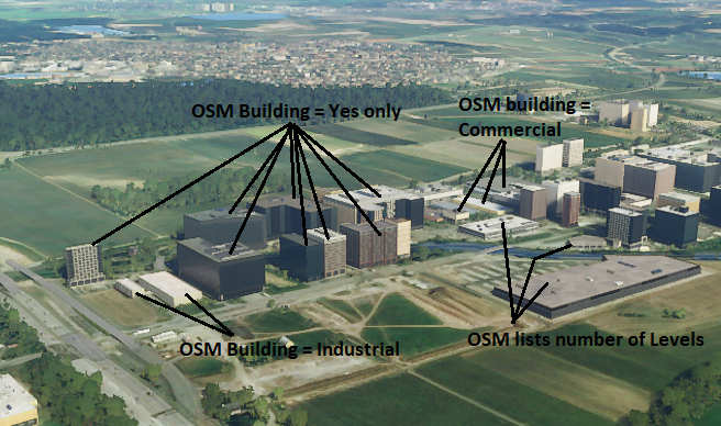
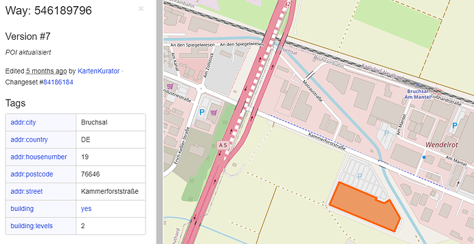
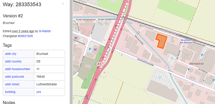
Below are a couple of shots of individual building details in OSM.
Shot 1 - OSM data contains number of levels and is correctly rendered in MSFS
Shot 2 - virtually no building information in OSM and is not correctly rendered in MSFS
Shot 3 - OSM data has no level information but height can be assumed by building use ‘commercial’, and is correctly rendered in MSFS.
This OSM screen shot of the same area shows a commercial area. It is very simple to tag all buildings that have no building level information with a generic height range based on the landuse (in this example located in a commercial area) or other identifying feature. Asobo may have done exactly this and assumed all buildings in a commercial area with no level information should have 10 floors. Fine tuning a bit of code to correctly guess building information where none exists in OSM, takes a bit of trial and error. I expect Asobo will get better at this over time.
Lastly very tall buildings (like the monolith in Melbourne) are usually traced to errors in OSM data, which is easily fixed by correcting the source OSM data.
