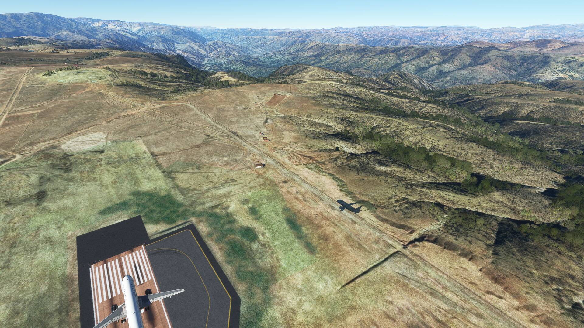
OMG… so we have FIVE aliens in the room now ![]()
![]()
![]()
![]()
![]()
![]()
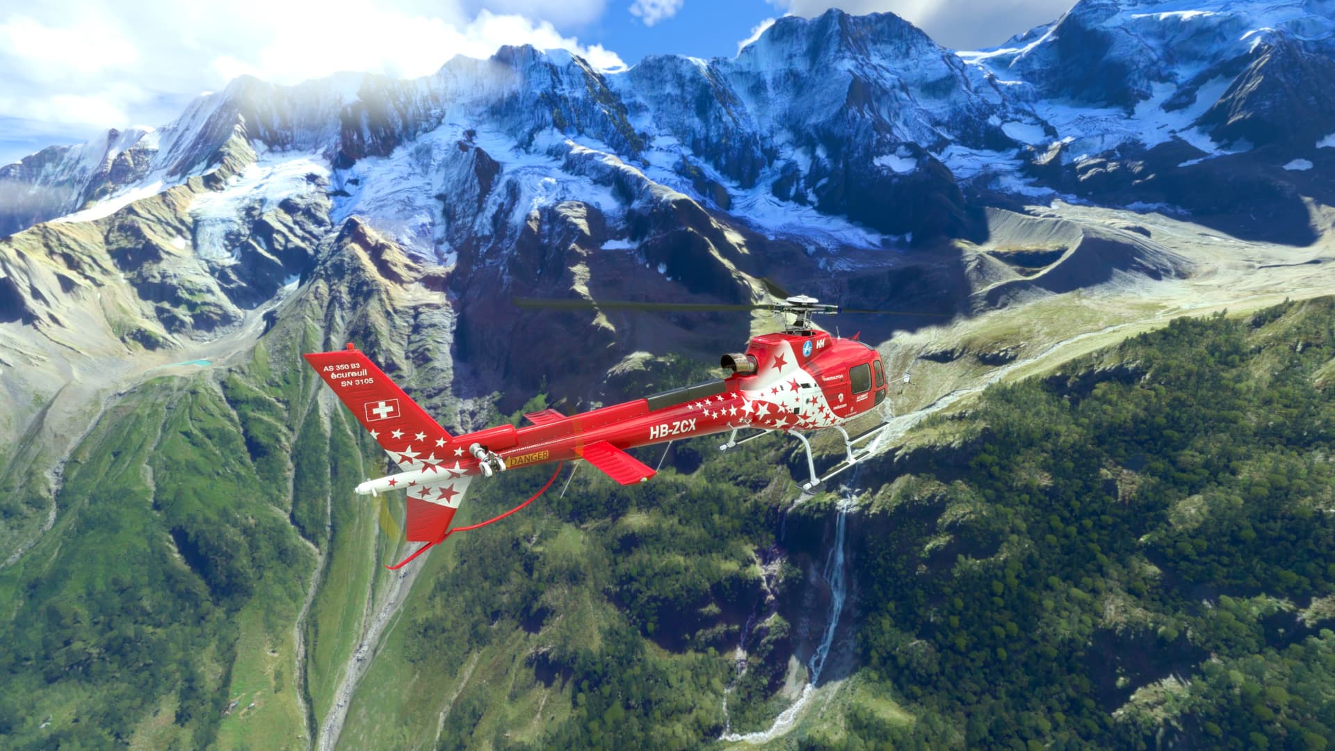
Congrats wombat!!
OMG… so we have FIVE aliens in the room now ![]()
![]()
![]()
![]()
![]()
![]()
Congrats wombat!!
I’ll need to go flying after work tonight for the next one I think. It’ll still be daytime for most of you though.
Er it seems I need to issue a bit of an apology for this one!
I have the 3rd party airport, but I’ve just realised that by default this airport does not appear in the sim. You can’t even see it on the satellite textures, it’s all just farmland in MSFS 2010 (sic).
It can be seen fully operational in both Bing and Google maps and has been open for most of a decade, just showing how old the MSFS aerial imaging is.
I’ll leave it out there because with this info combined with things you can deduce from the image it’ll probably be quite easy to find. I think!
Edit: It won’t let me post another reply to add a clue so editing this one instead.
Maybe time for some hints. The picture was posted immediately after it was taken using live time and weather.
You can see the location of the sun and I think with this timing information it’s possible to get an approximate longitude. The sun also gets you reasonably close to the runway orientation.
Seeing as this has gone quiet I’m gonna give the guess to narrow it down a bit (that I thought it was when I first saw it but it’s probably not)… is it in Africa?
Thanks for waking this up. I tried to add clues but there’s a stupid limit on the number of replies one person can make and so it wouldn’t let me!
I did edit the previous post with hints.
Sorry no it’s not Africa. There’s hardly any of Africa that’s high enough, this airport is higher than Lukla.
So Andes or Tibet?
Andes, and probably you’ve already found this list…
It’ll be a sweet find I promise!
It has to be Alcantarí Airport in Bolivia then.
It’s not that Daocheng Yading Airport then is it?
Not shown on Google Maps yet, I guess the imagery is too old, or the location is wrong. But the terrain looks right…
China’s building and expanding airports like crazy. I’ve seen some of them first hand.
Either way this area around this airport needs more exploring. So much terrain. I hope the sim makes it look reasonable.
Yes Alcantari that’s the one. Local city is Sucre, see the cryptic hint from earlier.
It’s not even in the top 3 for highest Bolivian airports even though Bolivia itself falls just outside the top 20 for countries by mean elevation. Apparently they do like to build their airports on high ground.
China was a good guess too, most of the highest airports seem to be in China or Bolivia.
Fun fact, when landing at Alcantari the cabin pressurisation altitude increases rather than decreases as you descend from cruise altitude.
Alcantari (ICAO: SLAL) opened in May 2016 so it’s rather disappointing that it’s omitted from the base sim.
Does it have an icao in the sim?
Yes, it does.
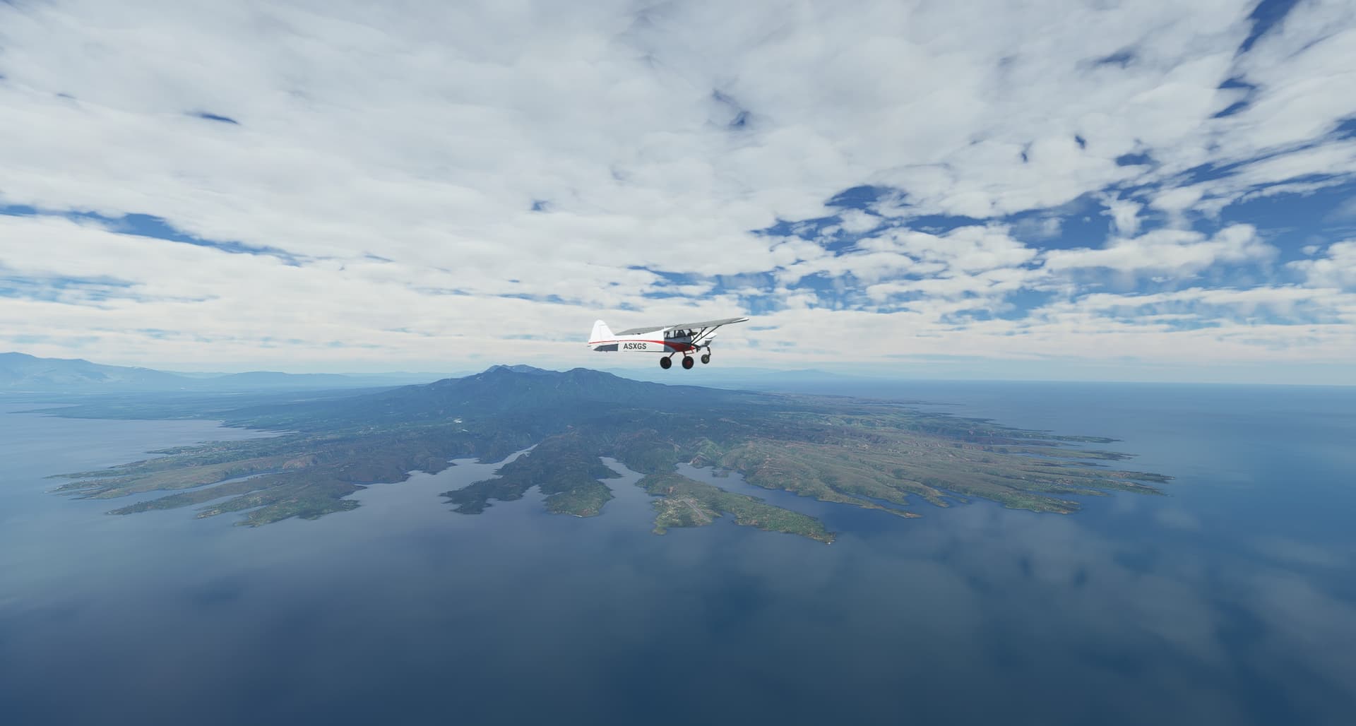
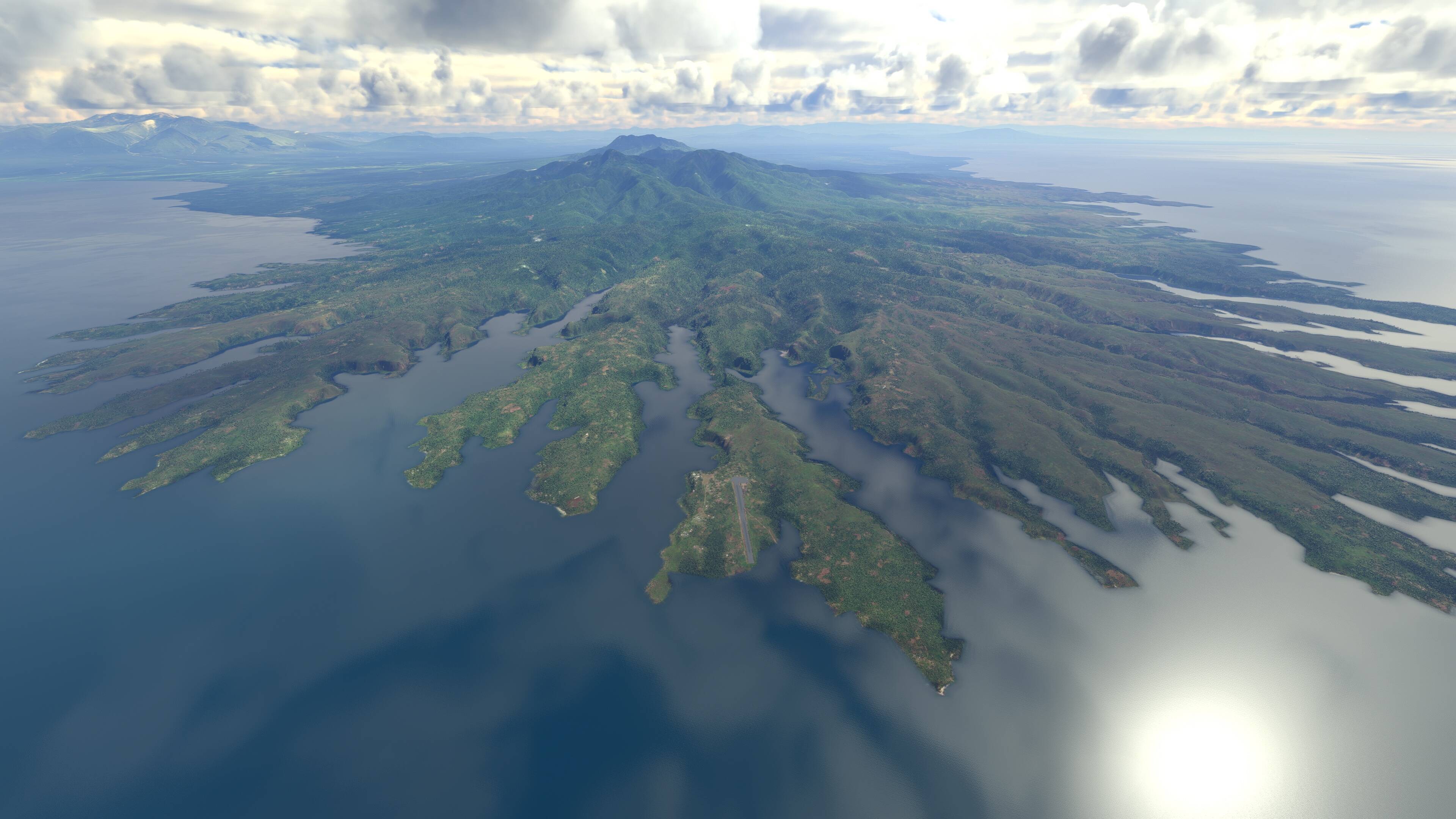
Looks like Finland landscape. But struggling to find an airport right at the edge of craggy cliffs like that.
It‘s not in Finland. It’s quite far away from Finland, actually.
This is Tufi, Papua New Guinea ![]()
AYPN Tufi Airport
I’ve been searching for the “tendril coastline” since yesterday. Was thinking volcanic island for sure but didn’t know it was one going to be one of the largest! Kept my search to the pacific and I finally found that coast.
I’ve been over this place 3 or 4 times… searching in Japan and Oceania. Well done !
YOU and I BOTH! I started on the southern tip of South America… and went across all those islands! ![]()