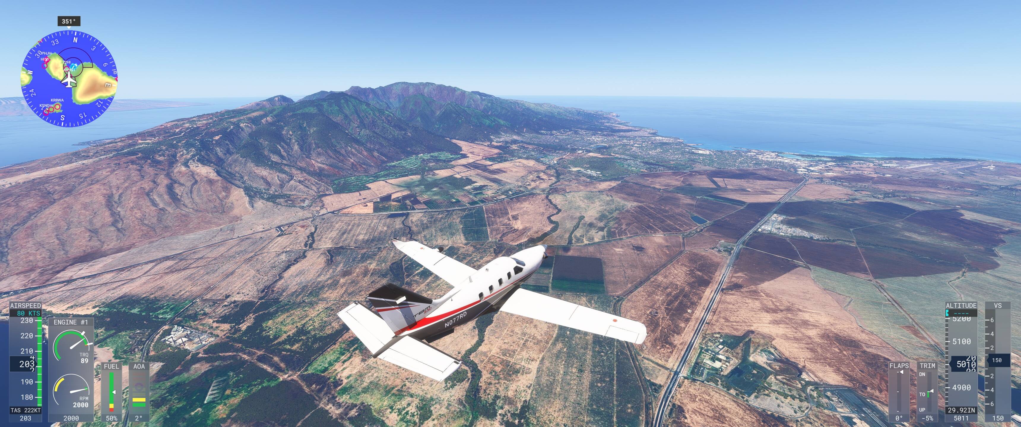
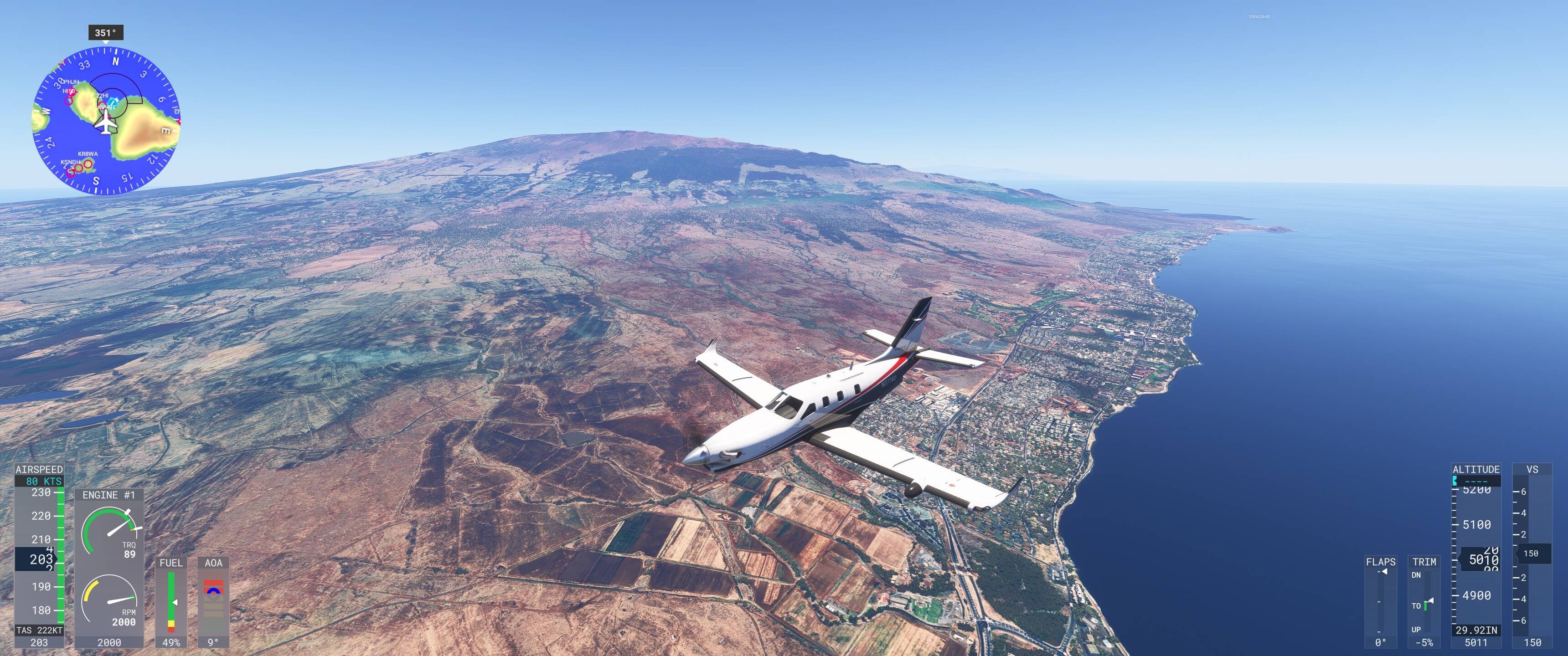
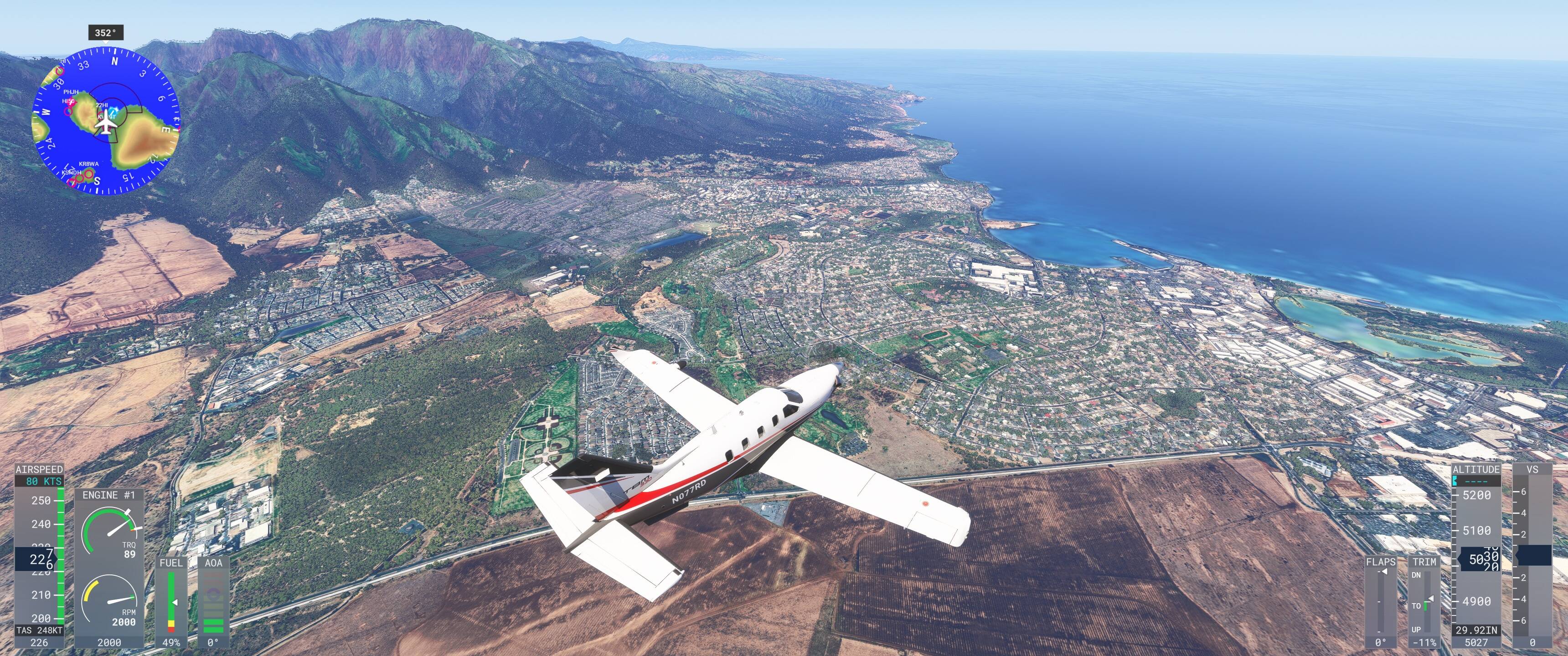
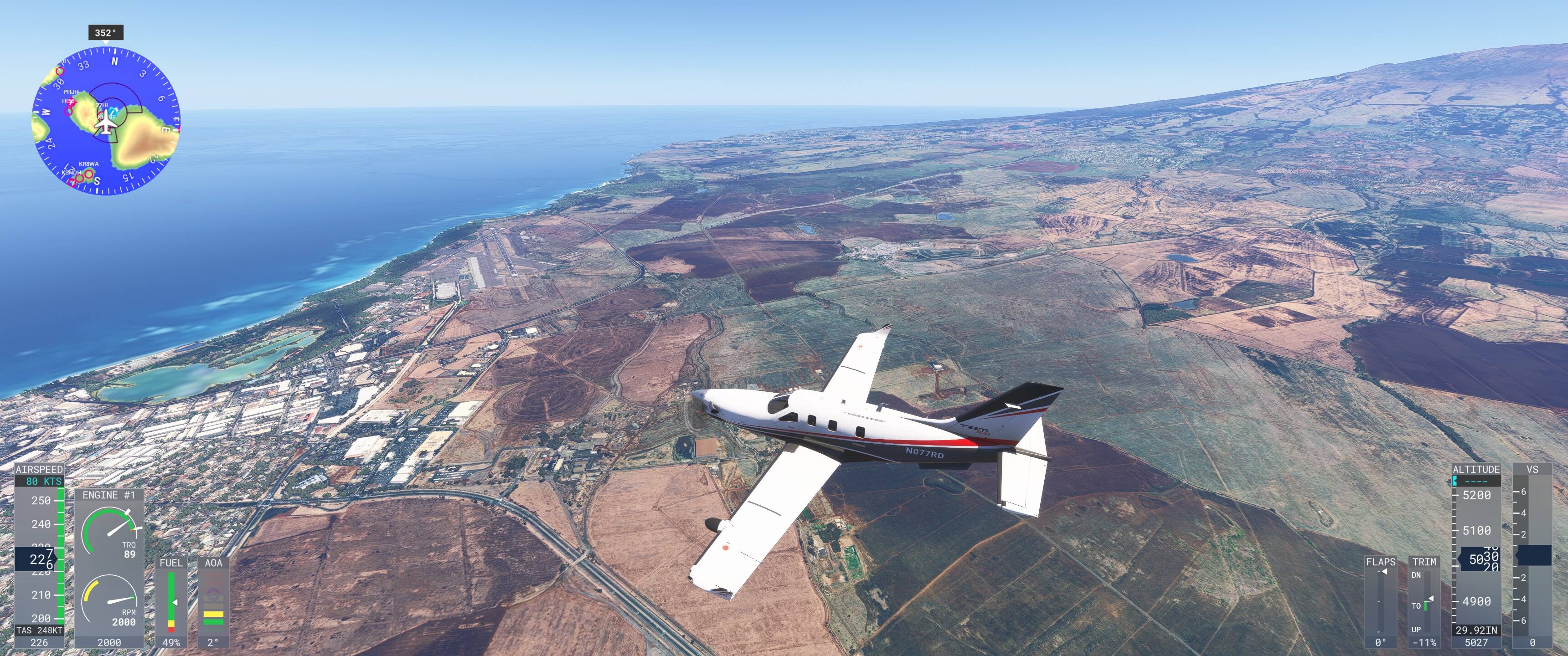
Is this how Hawaii is supposed to look in the sim? This is near PHOG (Kahului). The ground textures seem to have very low resolution and the colours and mountains just look awful. Texture resolution is set to HIGH and TLOD at 300.


2 Likes
Unfortunately, it seems the available satellite imagery (at least through Bing) is not very high quality. It’s up there on my list of biggest complaints. Hawaii is such a beautiful state, and a fantastic place to fly for a variety of operations (inter-island hopping, VFR sightseeing, helicopter operations, etc.). It’s a huge disservice to this area not having high-quality satellite imagery. This is an area that deserves another World Update. World Update XIII released back in 2023 and does not improve much in terms of ground texture quality.
5 Likes
Yeah, texture for Hawaii is not good, unfortunately. One would think that for such a prestigious U.S. location Bing would have top imagery.
IIRC, Microsoft did actually pay a pilot (a real world one) to specifically get good photo imagery for Hawaii, and he started the job and then for some reason abandoned it and just flew off with no explanation. It was then never completed.
Any idea how long it would take to make great imagery from an aircraft just for Oahu? How many flight hours?
I’m pretty certain ground textures are from satellite images unless they’re part of photogrammetry data. That however requires something a bit more specialised than ‘paying a pilot’.
Sure, but ground textures should be possible via plane as well, right?
And besides the higher resolution, you can fly VFR and don’t get clouds in the way.
I’m just curious how many hours it would take to get Oahu from a plane.
I don’t think it would be practical from a typical plane. For ground textures you require images with as little perspective as possible which means very high altitude and a long lens.
Satellites are obviously an order of magnitude higher than any aircraft can reach.
I think you can generate ground textures with imagery obtained while generating 3D Photogrammetry. It requires a significant amount of overlap, because like the other poster said, you need as little perspective as possible, which is why generally satellite imagery is the best.
For an island the size of Oahu, I’d guess the amount of flying required to map the whole island would be in the range of 50-100 hours of flying a pattern just like below. I know very little about the whole process though. I’m sure logistically it would be very difficult given the airspace you’d have to navigate.
Also, paying the pilot for 100 hours is one thing. A plane equipped to actually obtain imagery cannot be cheap to operate, and then you have to pay another person to actually compile the hundreds of thousands of images.

2 Likes
What a strange story. Why would Microsoft not just buy commercially available data? These days that is pretty easy and dedicated imagery is only done to get ‘moment in time’ imagery.
As far as I know, Microsoft just uses Bing imagery and only has bits of non-Bing imagery for high-definition airports.
I’ve seen these planes fly over the Netherlands a lot before the Netherlands updates were pushed too! The pilots can’t disclose who their client is, but it could be for MSFS, or it’s a mere coincidence.
The pilot was supposed to collect photogrammetry data but didn’t complete doing it.