UGANDA: The Rwenzori mountains of the Moon (17.000ft)
The Rwenzori Circuit is an extremely challenging trekking tour. It takes you through one of the most diverse landscapes of the planet: rainforests, bottomless bogs, outlandish vegetation, tropical glaciers and rocky peaks. A number of basic alpine huts are used to stay overnight.
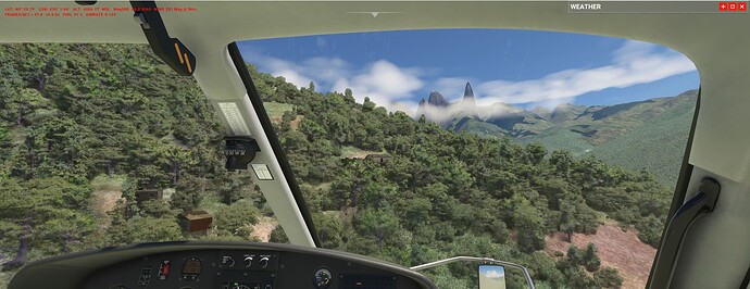
Unfortunately the region is probably the worst DEM/TIN/Bing in the Sim ever. To some extend Asobo is excused as the massive is covered in clouds 360/365 days. But Bing is not sooo bad (see below) and it doesn’t explain the persistent LIDAR pyramids. The huts themselves (all visible, somehow surprising) come most likely from an OSM overlay.
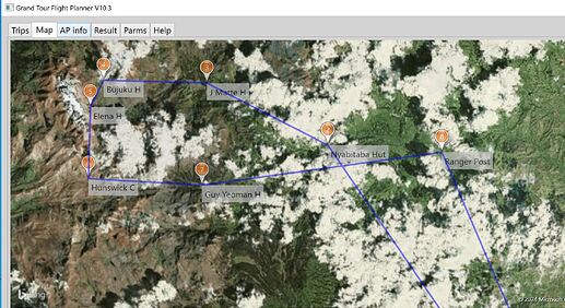
Via the GTFP:
Lets try a chopper ride nevertheless - why:
- even the devs might have never flown here, you are a pioneer!
- its challenging to hover at 15.000ft (Elena hut, pic below).
- take a mental note of the situation - compare it when MSFS2024 comes out. There is hope for a change after all…
Elena hut 15.000ft:
Here we go:
Trekkers have been gone missing on the circuit (there is no cellphone net) for a week due to abysmal weather. Now it clears up and your helicopter flies out of HUKS Kasese for a SAR-mission - look at each hut for the situation and bring people home if needed.
First hut, Nyabitaba, last trees in evidence:
UGAN_Ruwenz_Circ.PLN (2.6 KB)


