High mountain flying & landings

BOLIVIA: Meat-Hauling Props

For decades fresh beef-halves and meat were flown from farm strips in the Amazon basin to the Altiplano. Sometimes the much valued calf’s heads were air-dropped for customers directly into villages (in 1983 Air Minister Gen. Urioste was almost killed by a near miss on his veranda).
This mission is a tribute to the B-17, C-46 and DC-4s that were used:

http://www.michaelprophet.com/Bolivian_Photoalbum1.html

Here’s the plan:
meat_hauler1.PLN (2.1 KB)
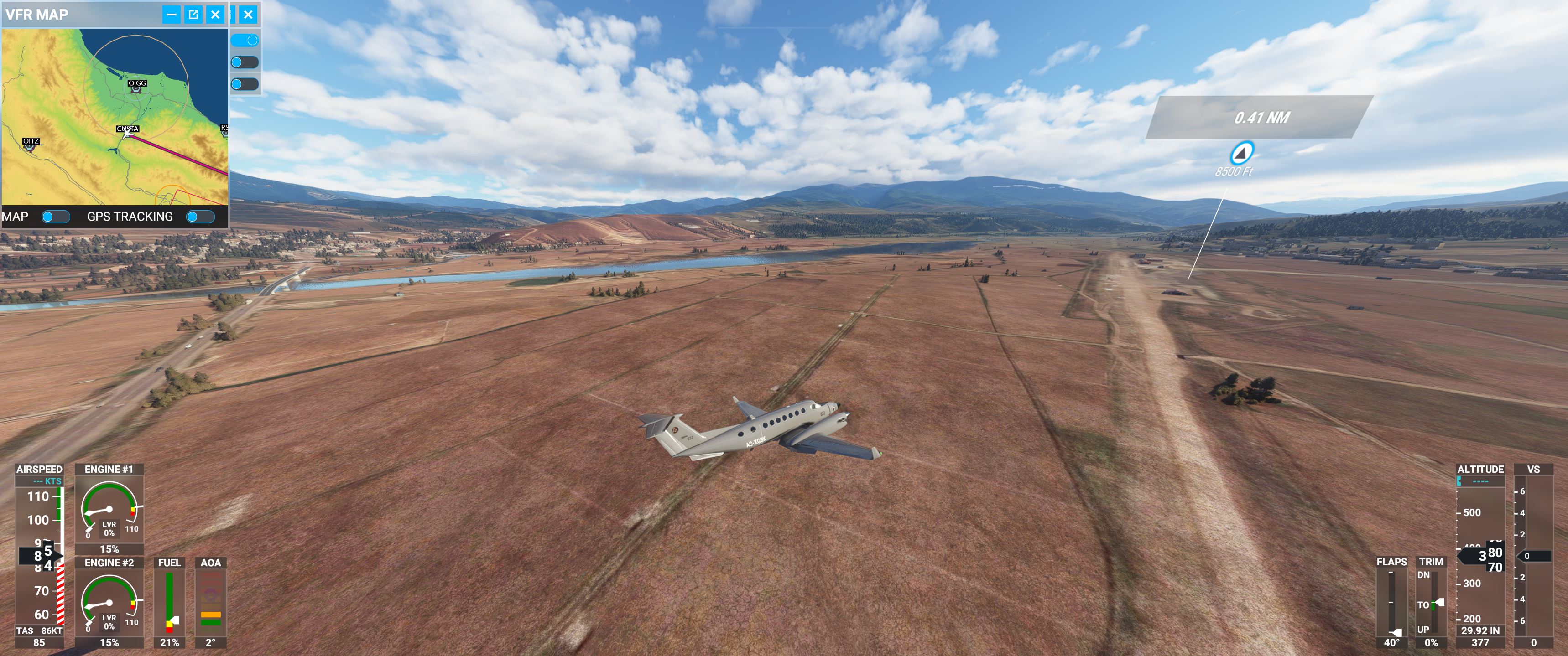
Start in the steaming jungle in the afternoon, slowly climb to the highest town in the world: La Rinconada (land @ dirt strip south: -14,647390, -69,445467, alt. 16.500ft).
Unload the big chunks, continue with Lake Titicaca to the right and the beautiful Cordillera left.
We bypass La Paz this time as we have to drop dozens of heads (wrapped in styro, speed 90 max!)) into the distinctive lake at the mining camp (alt. 15.700ft) for their cantina.


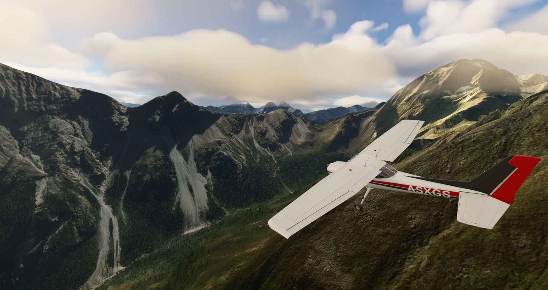
There is time to circle mighty Illimani (21.122ft) before going down again - I select the “Halloween Creepy” weather theme as it matches RL Amazon conditions and is perfect for twilight.
Hope the farmers have put up some truck-headlights to illuminate the strip…

And kudos to MS/Asobo for the area here!

1 Like

KAMCHATKA: Ashes to ashes
Mt. St Helens, Crater Lake and Fuji all in a single flight - with a bakers dozen of “Inappropriate Landings”.

1966:
The rare element Eka-Radium can theoretically double the yield of the new Chernobyl nuclear reactor. In the USSR it can only be found on the crater rims of Kamchatka peninsula’s volcanoes.
With a battered Po-2 SP geo-survey aircraft (take the vanilla X-Club instead) you have to land on 13 peaks (at some WPs there is more than one) and collect probe material.

start @ UHQO Ozernovskiy Aiport , land @ UHPK Ust-Kamchatsk (fuel and vodka stopover possible @ UHPP Petropavlovsk)

flight plan:
kamchatka_1.PLN (3.8 KB)

for them Mother Russia experts, here are the volcanoes:
Khodutka 52,062429, 157,714016
Mutnowski 52,445788, 158,203812 (with lake )
Vilyuchik 52,704897, 158,280971
Koryaksky 53,320427, 158,708008
Avachinsky : nearby (plateau)
Zhupanovsky 53,587128, 159,132880
Taunshits 54,527300, 159,807177
Kronozkaja Sopka 54,752809, 160,527745

Volcano Cluster around 55,927962, 160,500842:
Gora Bolshaya Udina,
Mount Ostry Tolbachik (crater!),
Kljutschewskaja Sopka (alt. 16000ft),
Bezymyannyy

Schiwelutsch 56,652969, 161,348192

1 Like

EASTERN HIMALAYAS: Flying the hump

1944:
Transport planes (C-47, C-54, C-46, B-24) airlift supplies from India to China - over the Himalayas, called “the hump”.
Hundreds crash due to foul weather, 16000ft mountains, icing and primitive nav aids.

Will you make it with a Dakota in brutal Monsoon conditions - the flight plan gives you the creeps:
Flying_Hump.PLN (1.6 KB)

You will have to dodge clouds, downdrafts and watch out for Japanese fighters…

A trip down memory lane - thats how we simmed it 16 years ago:
https://www.flightsim.com/vbfs/content.php?1860-Flying-The-Hump

ANDES: Fine young cannibals

1972:
a Fokker Friendship with 45 persons is missing, its supposed to have crashed after the pilot totally lost directions in bad weather in the high andes.
A bi-national Chile-Argentina SAR rescue effort is now under way. Look for survivors while flying down south along the divide: check the peaks, look into valleys, circle mighty Aconcagua (-32.65332272510694, -70.00953715769025, alt. 22.800ft).

Flight Plan:
andes1.PLN (2.1 KB)

You have a full load of equipment (food, sleeping bags etc.) for a drop if you locate the wreckage.

The mission is based on a real event where SAR failed and the survivors had to resort to drastic means to make it home:

2 Likes

TIBET: Riders of the Dalai Lama

Anti_communist forces in Tibet were 1957-67 supported by shadowy american airlines.
They used B-17, DC-6, C-46, Connies, C-130, Helios, Porters to drop agents, equipment & sensors into the PRChina.
Operating from airstrips in Pakistan, India, Nepal & Thailand they flew low-level to duck radars.

This is the first re-enactment of some of those clandestine missions:
From Pakistan you parachute equipment and agents into western Tibet, the flightplan will take you over the wildest mountains on the planet:
TIBET_WEST.PLN (2.1 KB)

Pick up the load at VATH strip (which is today still used by Indian C-130:
The Super Herc Stamps the Top of the World! - C-130 Historical - C-130 Hercules.net – The internet’s #1 C-130 resource (c-130hercules.net)
make the drop @ the WP in chinese territory and exfil along K2-peak (28300ft, second only to Everest) and its 8000m-cousins towards Pakistan.

ETHIOPIA: wildfife census

Civil unrest and fighting in the neighboring provinces have badly affected the Simien NP:

The WWF has chartered your Cessna to count the endemic & endangered baboons and ibex.

Simien1.PLN (2.3 KB)

Follow the crest of the escarpment closely. As the animals are difficult to detect in the 2000m high north-faces, upon request of the conservationists land/restart on the grass of exposed spotter points. Could be challenging @ 13000ft and with updrafts from the cliffs…
Turn SE finally, skimming Ras Dejen, the countries highest peak (15000ft).
On the way to Lalibela HALL airport (with a refuel stop @ Setoko strip HAST), check via the WPs if the giraffes and elephants that the german biologist Jorg Neumann has recently introduced here are alive and kicking.

1 Like

Below near Maketane airstrip, Lesotho at 8200Ft. Difficult take off and find it back in these surroundings…

1 Like

TIBET II: stairway to heaven

1965:
with your Air America STOL plane start from a secret forward strip in Nepal (VNDP), pick up monks from different monasteries who are active in the anti-maoist resistance movement (the “airports” at the time were just dirt patches…).

Tibet_Kailash.PLN (3.1 KB)

Bring them into Tibet, to Mt. Kailash - as they are not jump-qualified you have to land there: circle the holy mountain (your passengers will watch out excitedly for the celestial stairway at the peak…) and choose a suitable spot along the rivers. Then make your escape to India.
Chinese presence along the border is high - so avoid the big valleys, go x-low over mountains instead and use the lakes.

It’s a few tracks in the snow. A Switzerland scenery available on flightsim.to

After flying here I passed the rockfall which became my Rockfall LS60 Challenge Strip » Microsoft Flight Simulator

5 Likes

Amazing novel and movie about this one too! Check out ‘alive’!

… am puzzled: novel & movie?

You might be interested in that guy’s missions:

Hermann Geiger - Wikipedia

I avoid the Alps so far because the DEM is incredibly bad, the french part might change for the better this week however… :nerd_face:

Not really for bush planes but Pasto (Nariño) airport in Colombia is right in the middle of the mountains at around 8.000 ft next to a big ■■■ cliff… you can land an A320 there and the views are fantastic, especially the visual circling approach.

1 Like

FRANCE: Route des Grandes Alpes

to celebrate todays France upgrade we follow loosely one of the best scenic (and my favourite moto-cycle!) routes in Europe:

La Route des Grandes Alpes (with GPX file) | Motorcycle Diaries (motorcycle-diaries.com)

For the first time it makes sense to fly the Alps, well done Asobo!
Come up with Switzerland & Austria soon and in a joint op!

Grand_Alpes.PLN (3.5 KB)

We do it in reverse, to have the sun in our back and to save the highlight (Mont Blanc, it has become dificullt to land on the summit now… :grimacing:) to the end.
Deviate if you see interesting peaks (e.g. Barre des Ecrins), zip low over all the famous passes and ski stations.
The FD-CTSL is the plane of choice because of its slow speed and window layout but challenging above 12000ft.

Bonne chance!

FRANCE: aerial firefighting

August is peak wildfire season in Corsica and the Securite Civile Water Bomber Group operates King Airs there as spotters.
You are flying a patrol along the mountains to look out for new fire sources.

Corsica.PLN (3.3 KB)

Over Lac de Calacuccia go low to check if there is enough water for the CL-415 amphibians to scoop it up in mid-flight.
Climb to Monto Cinto (8900ft) and then head towards the wild west coast: skim it xlow-level and watch for illegal beach-barbecues by Yachties that might go out of control fire- (and other-…) wise.

On a stopover in Calvi discuss with the PDMG crew when the big yellow DC-6 SC water bombers will be transferred to the island (i.e. to MSFS…).
Flight ends at Bastia SC-HQ.

1 Like

Seven years over TIBET III

Mustang province, Nepal was for many years the CIA’s mainstay for incursions into Tibet.
Start in Jomsom with your clandestine Intermountain Inc. STOL plane, pick up the members of a trained roadwatcher team waiting on two dirt strips to the east and fly them to the new highway the Chinese are building near the village of Quda.
Retreat south, along Everest, as Lukla & Syangboche didn’t exist at the time you have to continue.
Tibet_Everest.PLN (2.5 KB)

make sure all oxygen masks aboard are working!

RUSSIA: the Caucasus

1958
Comrade! You are to protect the motherland.
Imperialist spy planes are violating our sacred airspace from the south. Today we shot up a PMDG DC-6 / C-118 which escaped smoking in the clouds, but parachutes have been seen.
Fly along the great divide to spot any potential American rescue planes and to locate survivors. They might try to find shelter in the huts of the Great Proletarski Ski Area on the southern flank of Mt. Elbrus (18500ft), so go x-low there (see pic).

Caucasus.PLN (2.5 KB)

This mission is based on real events from the halcyon days of the Cold War:

https://www.baaa-acro.com/crash/crash-douglas-c-118a-liftmaster-azerbaijan

On a sideline: for the first time DCS-pilots can see the real Caucasus: enjoy the show, MSFS is already awesome there!

1 Like

RUSSIA: Anti-poaching patrol

The Altai range is as beautiful as Alaska or BC. Oligarchs and politicians are hunting the rare Snow-leopard and Argali-sheep from helicopters, a criminal offence:

Fly along the route, stay low to surprise illegal hunter camps and to find flocks of sheep having fled in panic high into the mountains…

Informants have reported that there is poaching activity around the peaks Severo-Chuyskiy Khrebet (WP2), Malchin (13000ft, WP3) and mighty Belukha (15000ft, midway on last leg) so circle there. You are cleared for deviations into Kasach, Mongol & Chinese Airspace:

Altai1.PLN (2.4 KB)

2 Likes

IRAN: Backdoor of the Ayatollas

1980:
After the “Eagle Claw” fiasco we have to get stay-behind-operatives fleeing Teheran and hiding in the Elburs-range out of the country.

The Iranians are still unaware of our secret “Desert Two” airstrip (here O103 Garmscar) where previous Twin Otter flights have left a hidden fuel deposit. Fill the tank and destroy all evidence.
Take over from the exhausted 2nd pilot who brought you there from Oman.
Load the new PLN:

Teheran.PLN (2.1 KB)

start the King Air and fly north thru the mountains around mighty Damawand (18.600ft), always hugging the ground, with Azad Kooh Peak (14300ft, WP2) as a visual beacon. Land on the clearly visible dirt strip (WP3, see image) for the pickup. Decide for a low-level exfil to Kuwait or Turkey, depending on the situation.

1 Like

C152, Austria, alps near MOWI… :relieved:


2 Likes

PERU: Vanishing Beauty

The tropical glaciers are melting at an alarming rate.
For the IPCC you are flying a ATR 72 MP with a special ground penetration radar to measure ice thickness in the Peruvian Andes.
Peru_cordilleras.PLN (3.7 KB)
Meander low over the snow-covered peaks along the way, the flight will take you over some of the most spectacular mountains in the world (Huayhuash, Huantsan, Huascaran, Alpamayo you name it)


Landscape has improved recently, become much better than Patagonia.

Enjoy the beauty & the glare: in 10 years from now i.e. with MSFS_2030 everything here might be a drab black&brown…