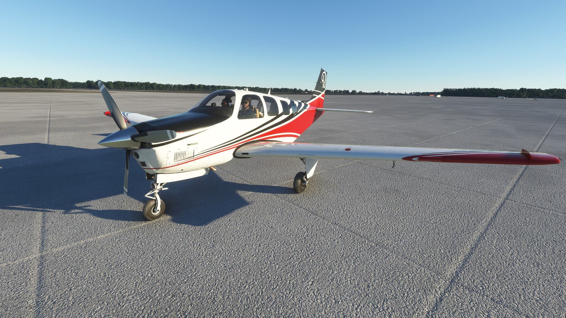
Hey everyone! I am beginning a tour around the world in a Beechcraft Bonanza G36.
I was looking for creative flight plans over Thanksgiving break and I stumbled upon this incredible topic created by @SvenZ
Seeing this, my plan is to fly around the world using his pathway as a general guide. I would love to fly with as many people as possible and hopefully make some friends along the way! Please let me know where you’re located and I will message you when I plan to fly through your area so maybe you can join me!
A little about me, I live in Myrtle Beach, South Carolina. My rig is an Alienware Aurora R9. It has an Intel Core i7-9700 CPU with an NVIDIA GeForce RTX 2060. I’ve been playing flight simulator for a few months now and have around 125 hours on my pilot profile so far. I would consider myself a very casual flier. I play flight simulator to relax and have fun after work so I mostly fly later in the afternoons and on the weekends.
I will be updating my progress including all the sights I see along the way, similar to @SvenZ
I love history and legends so expect detailed photo descriptions!
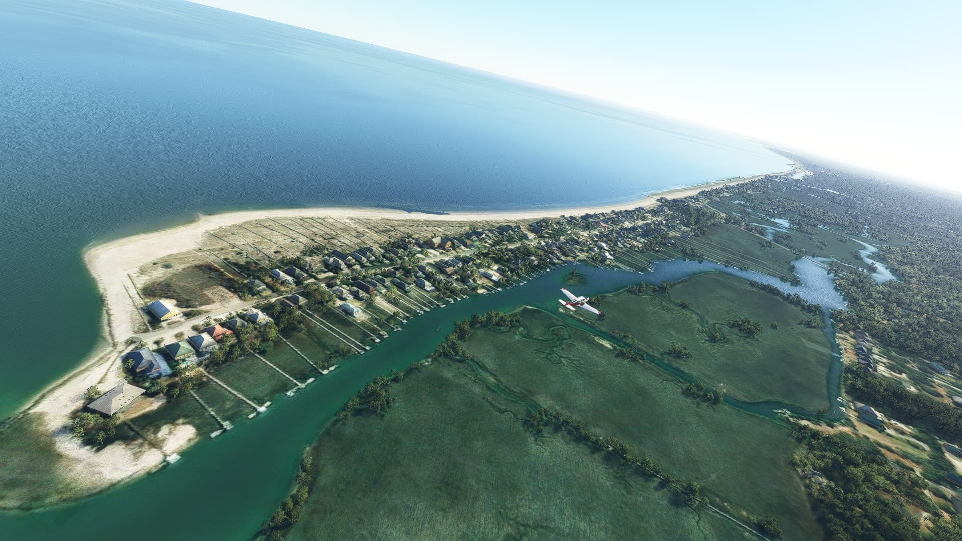
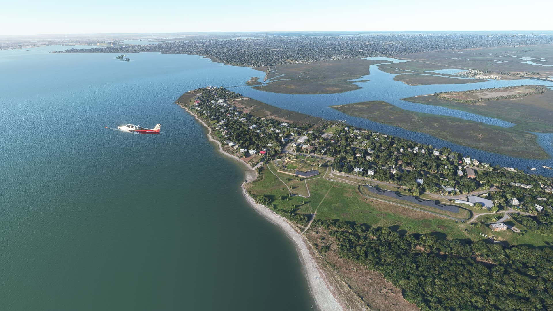
Today was the first leg of my tour. I wanted to start here in Myrtle Beach International and make my way down to Charleston and intercept the pathway @SvenZ took then go from there.
My flight plan

Myrtle Beach - KMYR
Georgetown - KGGE
Laurel Hill Farms - 2SC7
East Cooper - KLRO
Raven’s Run - SC65
Charleston Area
Charleston AFB/Intl - KCHS
Mount Holly - SC98
Berkeley County - KMKS
Lesesne - 6SC1
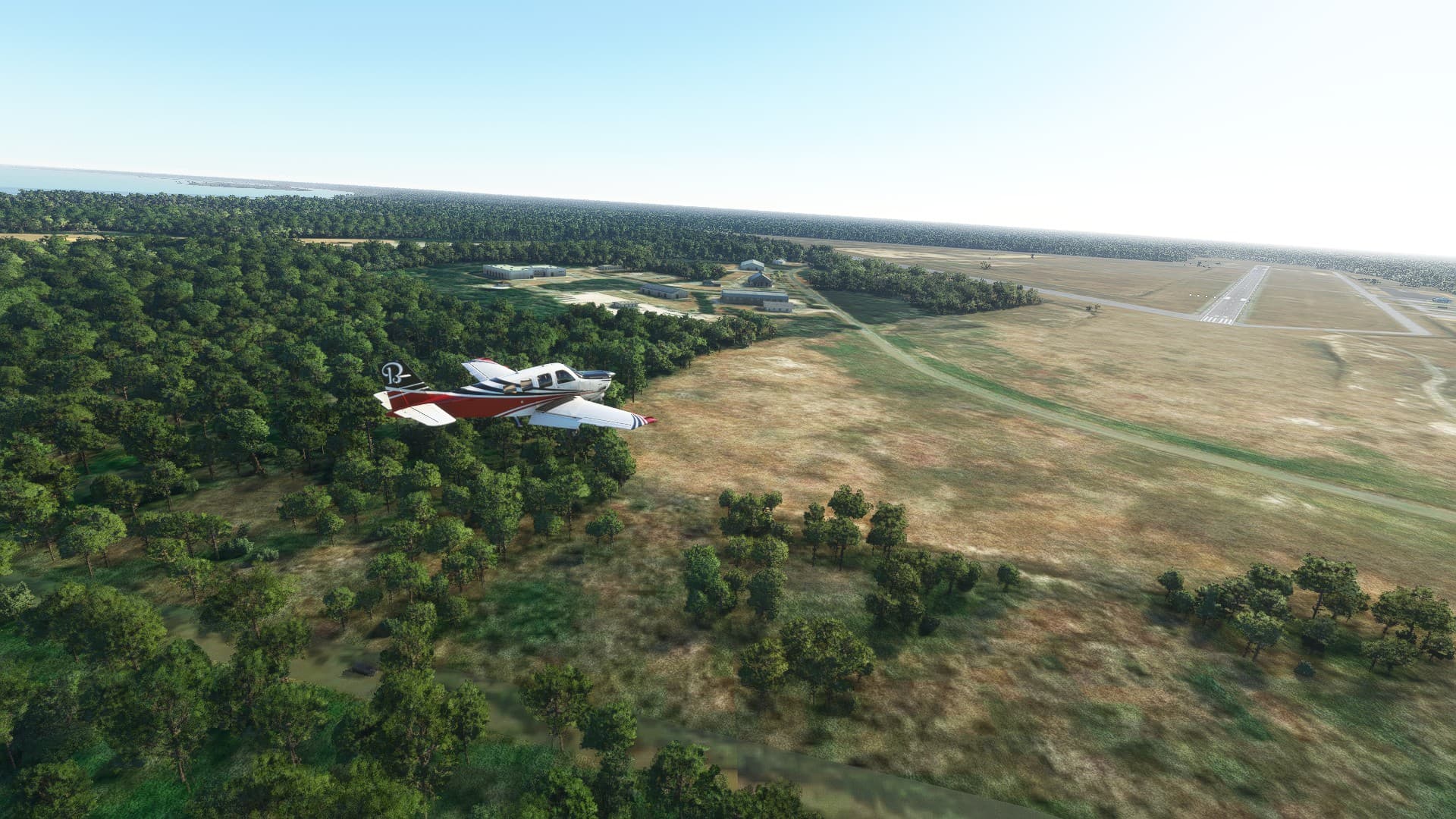
Getting ready for takeoff
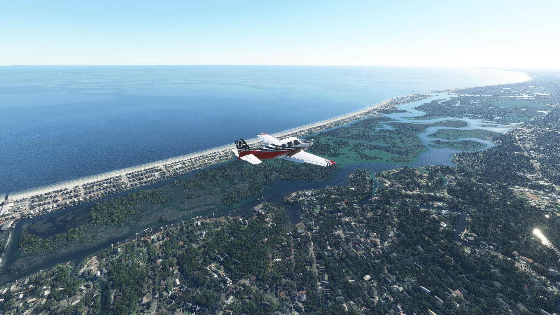
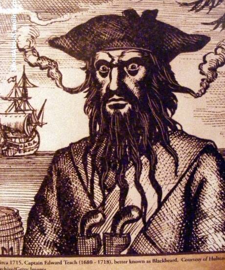
First stop is Murrells Inlet. The marsh here was especially productive for pirates and the coves within provided great hiding places for those marauders. Pirates who became local legends include Edward Teach, also known as Blackbeard because of his coal black beard, and Drunken Jack who was left behind on an island with a huge stash of stolen rum (and died with a smile on his face).
Next stop is Huntington Beach and Atalaya Castle. The castle was built between 1931 and 1933 by Archer and Anna Hyatt Huntington in the Moorish style of architecture. It served as their winter residence when Anna was diagnosed with tuberculosis. Atalaya means “watchtower” in Spanish.


Our third stop is Brookgreen Gardens which is situated behind Atalaya Castle. Brookgreen Gardens is a more than 9,000 acre nature preserve and sculpture garden. It was established by the Huntington’s in 1931 to showcase not just Anna’s art, but that of other contemporary sculptors. The 550 acre sculpture garden was the first of its kind in the United States and stands today as a state park and National Historic Site.

South of Huntington Beach is Pawleys Island, one of the oldest summer resort towns on the East Coast. The most famous legend in this tiny community is that of the Gray Man, a mysterious figure who warns of impending severe storms and hurricanes. The Gray Man has been seen before all the major hurricanes that have hit Pawleys Island for at least 200 years.
Next on our tour is the 16,000 acre research reserve, Hobcaw Barony. The Indigenous Americans called it “hobcaw” meaning between the waters. In 1718, the land became a colonial land grant or barony. Sold and subdivided into plantations, the land was part of profitable rice production until the beginning of the 20th century.


Georgetown. The third oldest town in the state of South Carolina is home to more than 250 historic homes in and around its town district (more than Charleston, in fact). Sixty of these homes are on the National Register of Historic Places. Local planters made Georgetown the wealthiest county in the 13 original colonies.

Pit stop at the Georgetown County Airport KGGE
Built circa 1740, some 40 years before the American Revolutionary War, Hopsewee Plantation was one of the South’s major rice plantations and the birthplace of Thomas Lynch, Jr., one of the signers of the Declaration of Independence. The buildings are hard to see but they are on the river bank above the left wing.

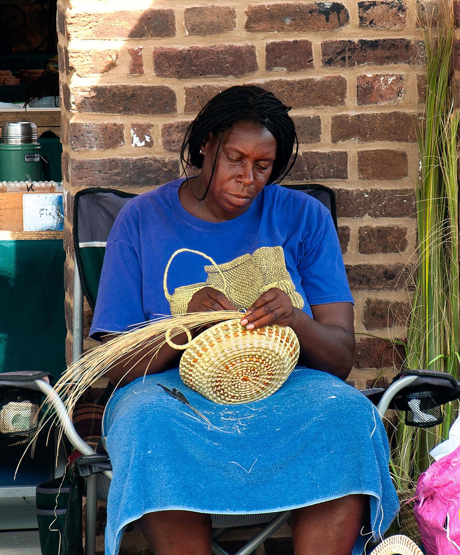
The Santee Delta is part of the Carolinian South Atlantic UNESCO Biosphere Reserve. The Delta was once the location of an important section of the Rice Kingdom, and an enslaved labor force whose descendants have provided a lasting Gullah culture.

The Cape Romain National Wildlife Refuge is a 66,287 acre National Wildlife Refuge. Most of the refuge is only accessible by boat and 29,000 acres are designated as Class I Wilderness.


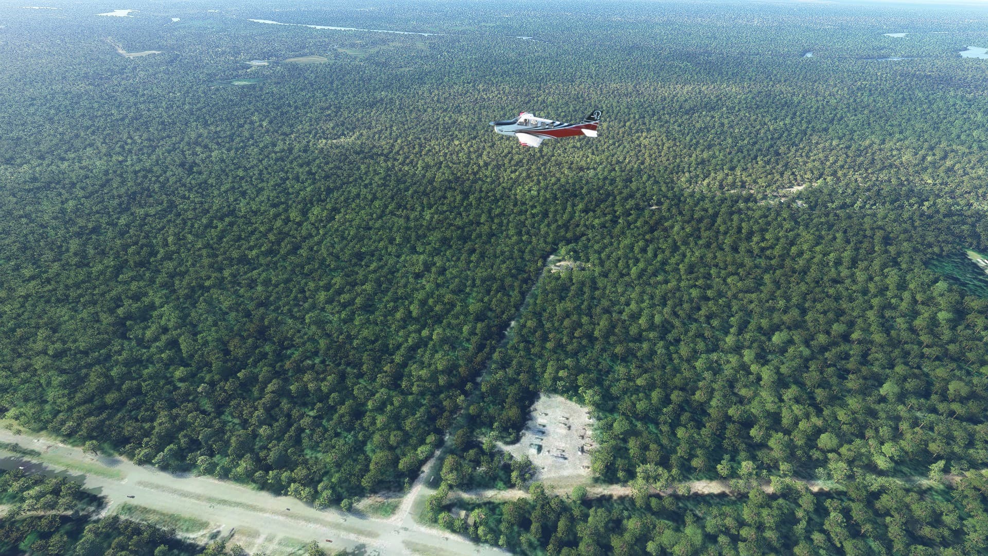
The Francis Marion National Forest is a 258,000 acre national forest located north of Charleston, South Carolina. It is named for revolutionary war hero Francis Marion, who was known to the British as the Swamp Fox. Marion’s nickname, the “Swamp Fox,” reportedly came from the infamous British officer Banastre Tarleton, who, unable to snare Marion, called him a “■■■■■■ old fox” and swore that “the devil himself could not catch him.” Marion’s small-scale hit-and-run tactics disrupted supply lines, intercepted communications, and hampered the enemy considerably.
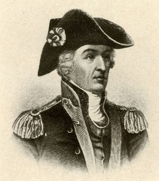

Fort Moultrie is a series of fortifications on Sullivan’s Island, South Carolina, built to protect the city of Charleston, South Carolina. The first fort, formerly named Fort Sullivan, built of palmetto logs, inspired the flag and nickname of South Carolina, as “The Palmetto State”. The fort was renamed for the U.S. patriot commander in the Battle of Sullivan’s Island, General William Moultrie. During British occupation, in 1780–1782, the fort was known as Fort Arbuthnot.

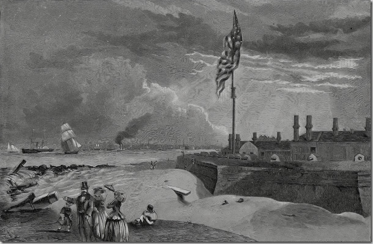
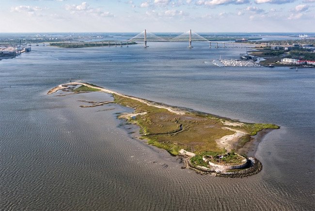
Fort Pinckney. Located on Shutes Folly, a small island about one mile off the Charleston shore in the harbor, the fort was built over the ruins of an older fortification called “Fort Pinckney”. The original log and earthen fort, named after the Revolutionary War hero Charles Cotesworth Pinckney, was built beginning in 1797 and was intended to protect the city from a possible naval attack when war with France seemed imminent. Completed in 1804, it saw no hostilities and was virtually destroyed by a severe hurricane in September of that year. A replacement brick-and-mortar structure called “Castle Pinckney” was erected in 1809–1810 and was garrisoned throughout the War of 1812, but it saw no action during the two-and-a-half-year conflict. Afterwards, Castle Pinckney was abandoned and fell into disrepair.

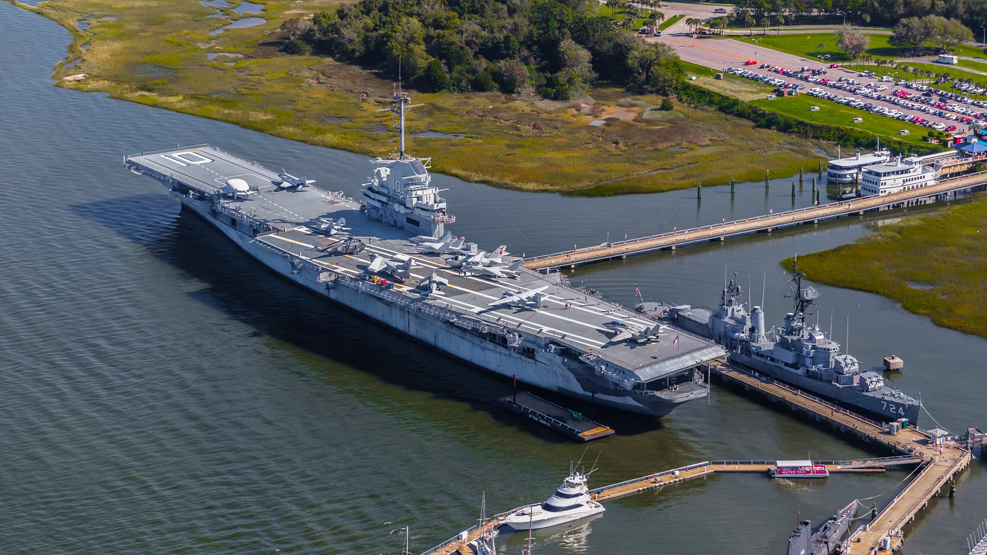
The USS Yorktown was built in just 16 ½ months—a short time for a battleship of its size. Commissioned on April 15, 1943, the “Fighting Lady,” as she was called, participated in the Pacific Offensive, which resulted in an Allied victory over Japan in 1945. Sorry for the poor quality! Does anyone know how to fix this??

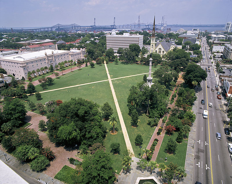
If you look at a map of downtown Charleston, you’ll notice that Marion Square is located nearly in the center of the peninsula, and some folks even describe it as Charleston’s own tiny Central Park. In the early days of this town, however, the site of Marion Square was located outside of Charleston, about one-third of a mile north of the town. The northern boundary of the original town plan, created around the year 1672, was a line across the peninsula marked today by what we call Beaufain and Hasell Streets. The site now known as Marion Square was a forest when Europeans began settling on the peninsula in the 1670s, and there was only one road, called the Broad Path, now King Street, that cut through the forest to connect the town with the countryside. Today the park serves a number of adjacent neighborhoods with a broad demographic. This space has a long history of public uses – it has been used as a military marching ground since before the revolutionary war and was the site of a celebratory parade by the city’s African-American residents after the Civil War.

On May 3, 1821, Bishop John England, the first Bishop of Charleston, purchased property on the northeast corner of Broad and Friend (now Legare) as a site for the cathedral. A “dwelling house” was on the lot, and on December 30, 1821, Bishop England blessed it as a temporary chapel for the congregation, and it was named in honor of St. Finbar, the patron saint of Cork, Ireland. The cornerstone was laid for the first cathedral at the present site on July 30, 1850. Called the Cathedral of St. John & St. Finbar, it was consecrated on April 6, 1854. This antebellum cathedral was able to seat 1,200 people and cost $103,000 to build. On December 11, 1861, a fire broke out in a factory on Hasell Street, destroying much of Charleston including the cathedral. Everything was lost. Fund-raising for a new cathedral continued for the next 45 years, and finally the cornerstone for the present Cathedral of St. John the Baptist was laid in January of 1890. The Gothic architecture calls for a spire, but due to lack of funds, it was never built. The lower church includes a crypt where Bishop England (with his sister, Joanna) and four other Charleston bishops are buried.


Since its inception in 1842, The Military College of South Carolina, aka The Citadel has sought to prepare its graduates intellectually, physically and morally to be principled leaders and productive citizens in all walks of life. John Milton, in his Tractate on Education, described a complete education, one that prepares the individual to perform justly, skillfully, and magnanimously, in all offices both public and private, of peace and war.
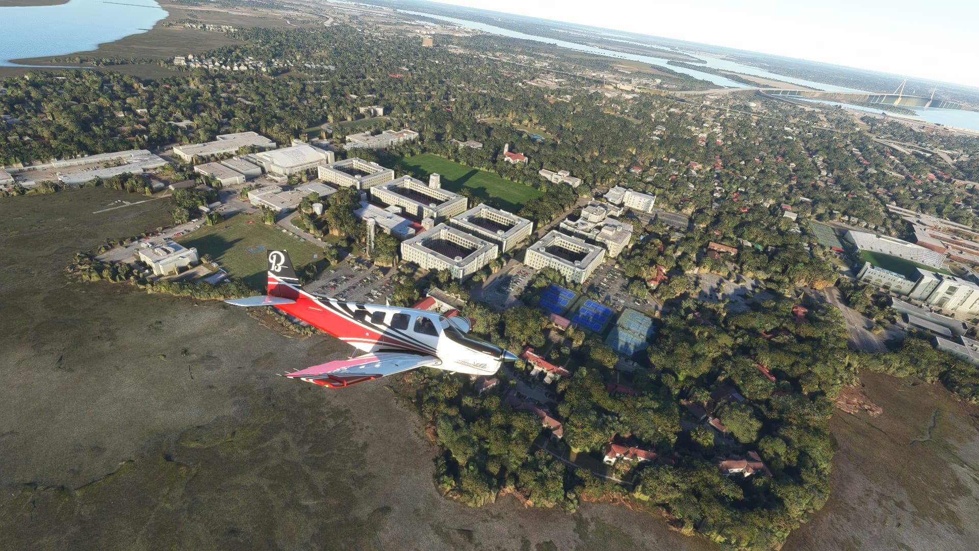

Charles Towne Landing State Historic Site sits on a marshy point, located off the Ashley River near Charleston and preserves the original site of the first permanent English settlement in Carolina.

Taking off after a brief pit stop at Charleston AFB/Intl - KCHS

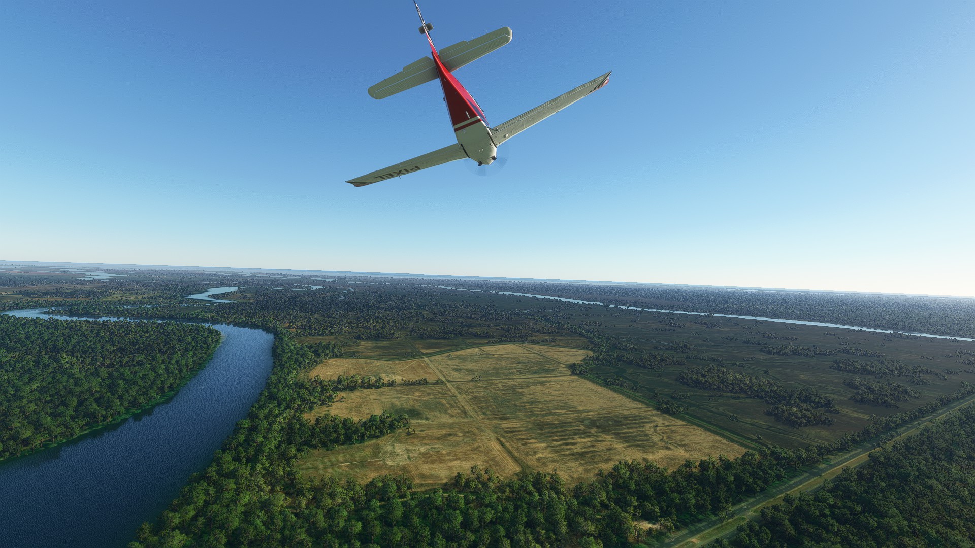
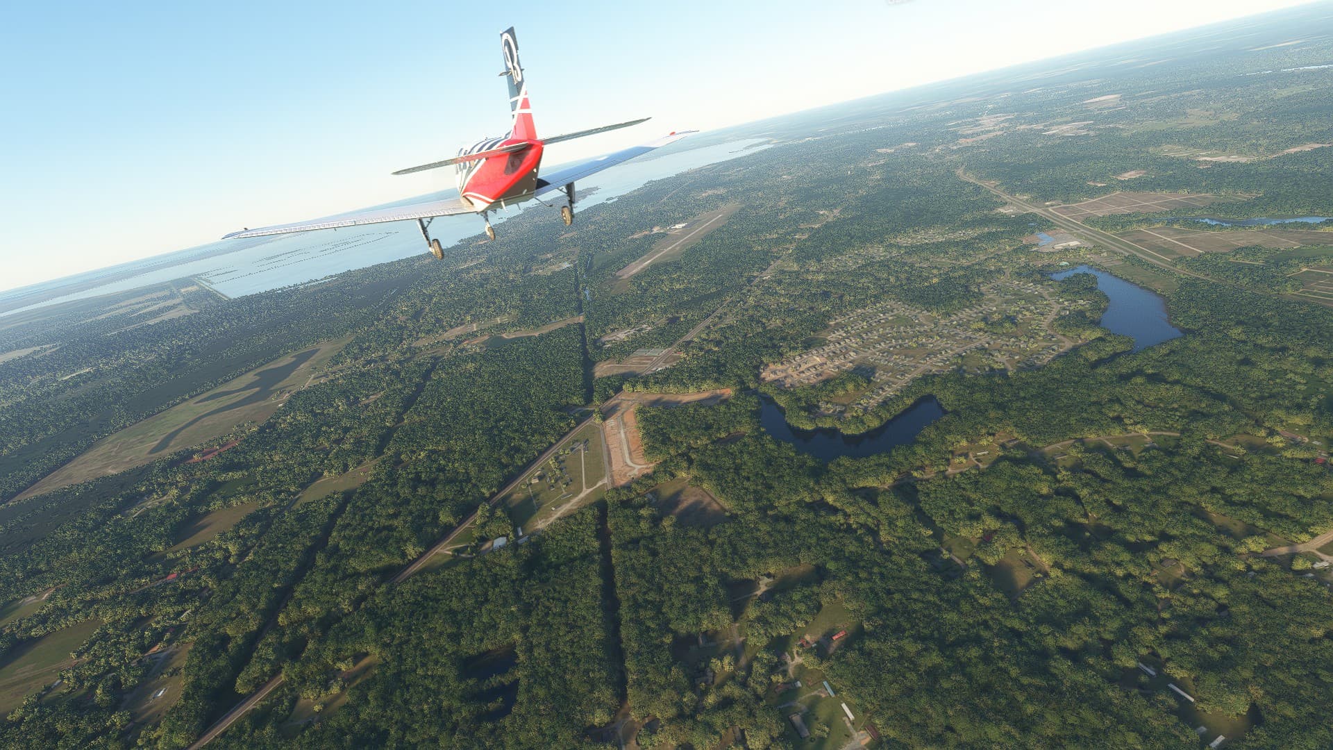
Coming in for a landing at Berkeley County Airport KMKS
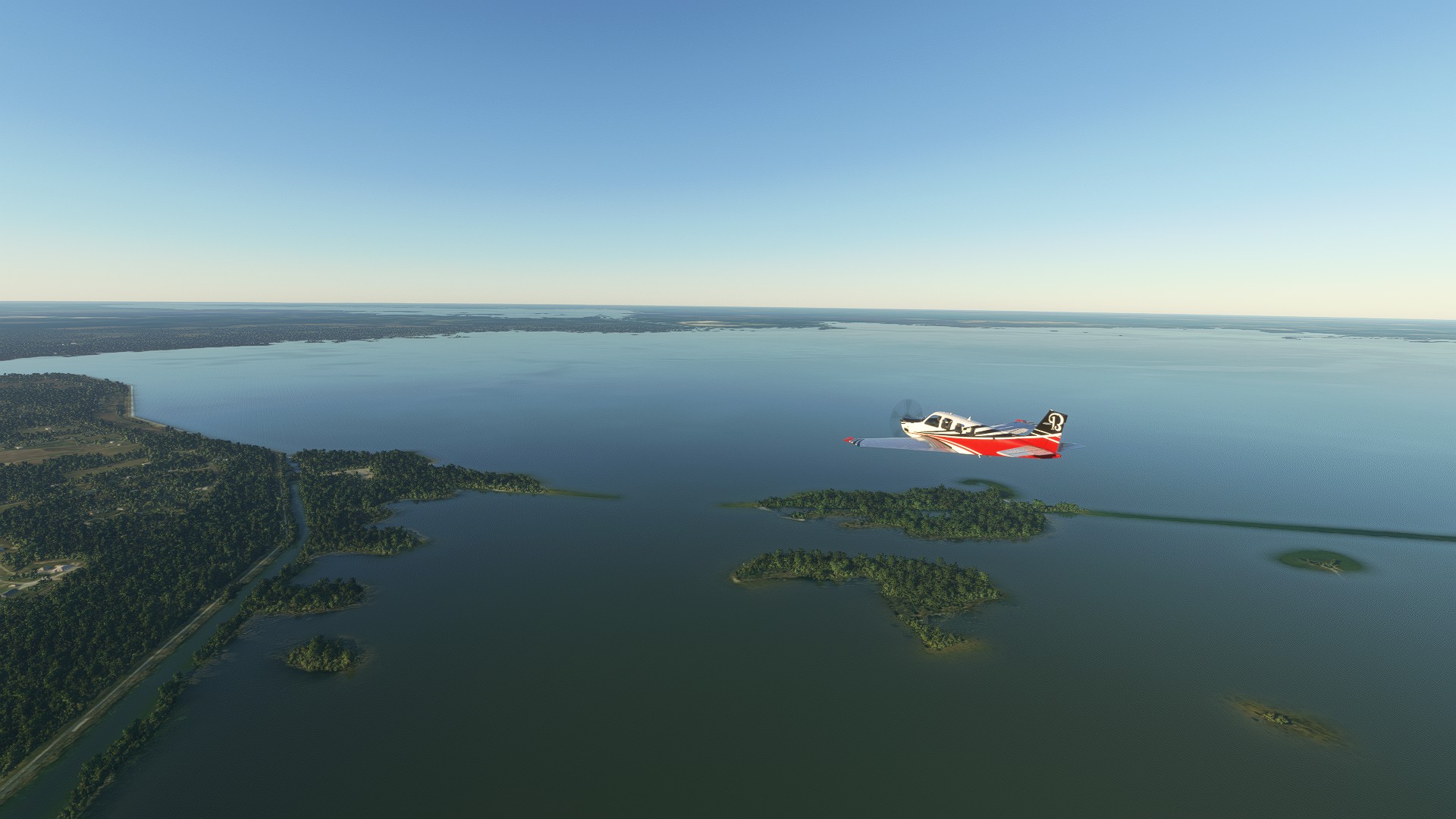
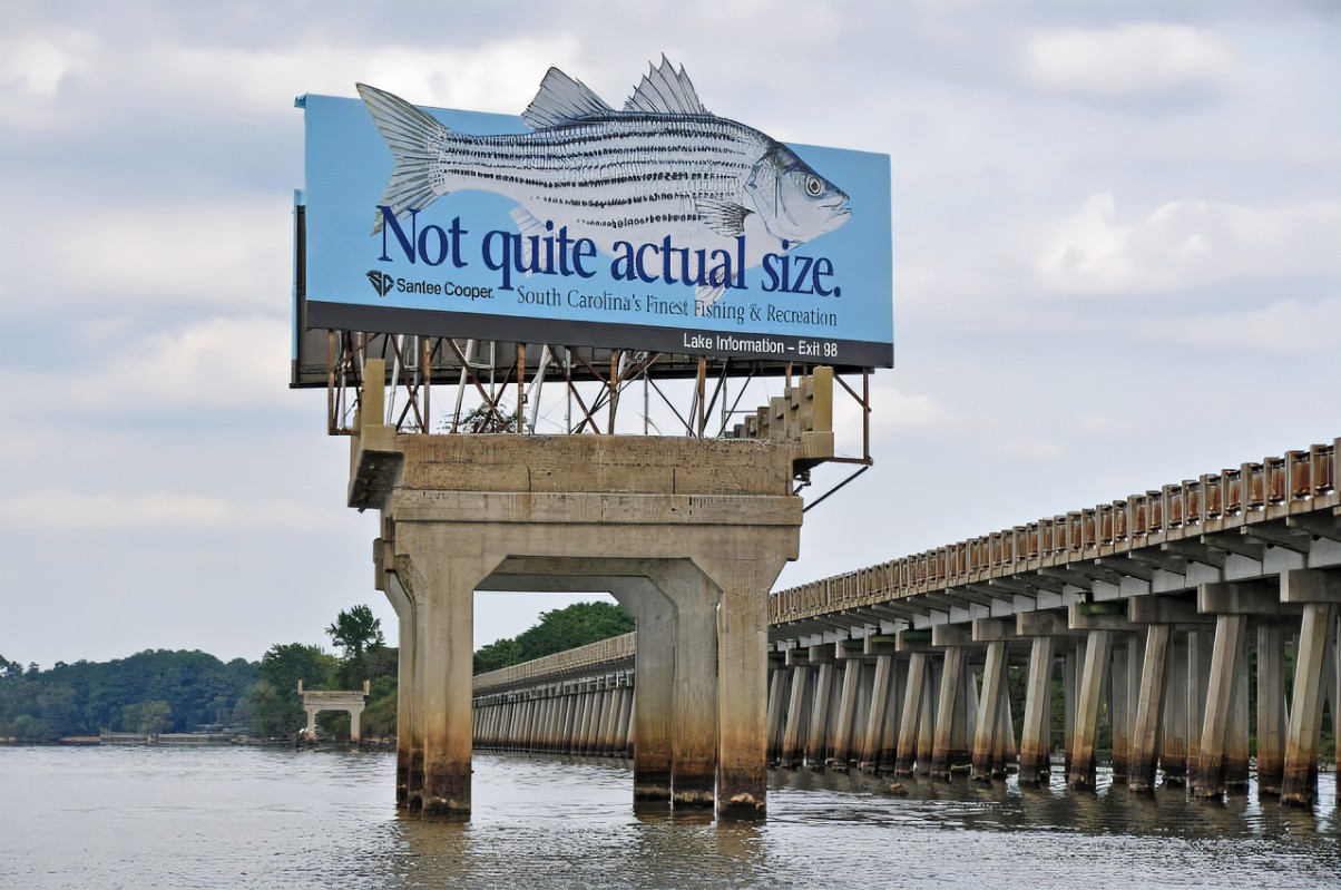
The beautiful and scenic Lake Moultrie with Lake Marion in the background. The first area where striped bass became landlocked was documented to be in the Santee-Cooper River during the construction of the two dams that impounded Lake Moultrie and Lake Marion, and because of this, the state game fish of South Carolina is the striped bass.
Coming in for a landing at Lesesne Airport 6SC1. Kudos to @SvenZ for landing here, I had a very difficult time finding it ![]()

First leg is a wrap! Thank you for reading. I will post the second leg soon!

Cheers