Hello Pilots,
sorry for the delay. I was quite busy at work and had no time, but cause you guys waited for the new information, I decided to release the new flight training already today. The flightplans of the first training, can´t be updated yet, because I got some technical issues.
But:
Here is the suprise. My buddy @AmbitiousPilots did some work, to get openflightmaps working inside LittleNavMap. Download and install the files here.
OFM in LNM

Don´t forget to give him some love for investing his time and putting effort in this guide ![]()
Have fun!

VFR Training #2 - EDKB to EDQE
![]()
Let´s plan the departure. The traffic pattern is available on the website of EDKB again. We will depart on runway 11. As departure, we are going to use Abflug 11 [4], shown in yellow on the traffic pattern map below. The map also provides orientation points and areas to avoid, as you can see in the top right corner. After taking off, we will fly runway heading, until we can see the 4 buildings, that are marked in the map (Red Markings). They are located between two populated areas, we should avoid. Passing that orientation point, will end the traffic pattern and we will continue on the departure routing.
Traffic Pattern EDKB:

Due to our ability to use OFM in LNM now, we can plan the traffic pattern quite good. If you scroll into the airport in LNM, you will even see the traffic pattern of the airport!
LittleNavMap Departure

The pattern altitude is 1150ft MSL.
![]()
We will continue with our flight to EDQE now. For such a long flight, most VFR pilots would use a tablet with navigational software on it, so we will use LittleNavMap to get the same experience.
Let´s see, which airspaces we will cross and what which areas we need to avoid.
Cruising to EDQE

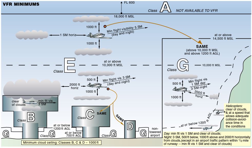
After our traffic pattern on 1150ft MSL we are flying under Airspace C. Maximum allowed altitude is 2500ft MSL.

The next Airspace above is Airspace C again. But this time, the maximum allowed altitude is 4500ft MSL. The Airspace is followed by another C, maximum altitude 7500ft. Be careful, when Airspaces are switching fast. In this case, the second Airspace allows a higher altitude. If it would allow a lower altitude, you possibly struggle descending fast enough. Think about a safe altitude that you can maintain in both airspaces (f.e 4000ft).

Here, we will leave the area, where controlled airspaces are located. At the left top of the image, you can see another airport. We want to avoid getting into its traffic pattern, so we will fly a little turn.
Here is a good explanation how to proceed, when there are no controlled airspaces around:

At Butzbach we will enter an area with controlled airspaces again. Another time, we will fly under Airspace C, maximum allowed altitude 5500ft MSL, followed by another C with maximum allowed altitude 3500ft MSL.

The next airspace above us, is Airspace C again. The maximum allowed altitude is FL65.
At LAGER HAMMELBURG EDFJ we will leave the area with controlled airspaces again. Also, you can see a restricted airspace (ED-R135). From monday to friday, we are not allowed to enter that airspace (GND to 10500ft MSL).
There is also another restricted airspace, called ED-R23 (GND to 2700ft MSL).

![]()
Time for the arrival. Let´s have a look on the traffic pattern of EDQE. Another time, I found the traffic pattern on the website of the airport.
As you can see, the orientation points are already marked on the map/image of the pattern. The traffic pattern altitude is 2400ft MSL.
Traffic Pattern EDQE

LNM Arrival

On the website of EDQE, there is also another important information.
Aerobatics Area

South of the runway is an area for aerobatics. You should get information, if the aerobatcis area is active, to avoid collosions.