Hello,
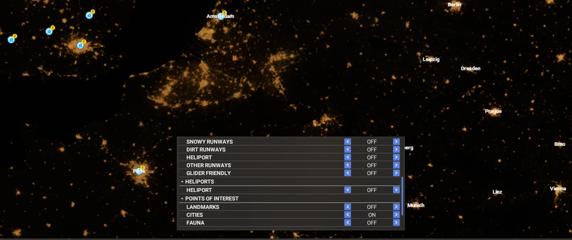
It doesn’t feel intuitive at all to use the filters on the World Map. Could it be more user friendly, like not having to manually open the filters menu each time? Or keep the filters from last session open?
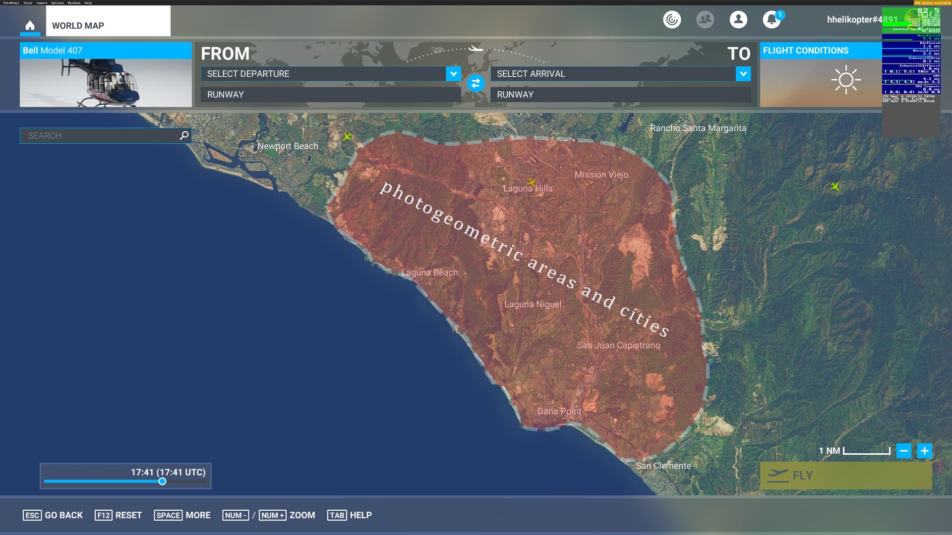
Also, I love to fly over photogrammetry areas but I have to keep a separate map and to pin photogrammetry areas for each time there is an update. Could we have a photogrammetry filter on the World Map ?
Thanks!
I really like the idea of an overlay for displaying photogrammetry areas. It would be great to have the option to toggle between the world and overlay on the map.
This would be a great feature in 2024 as well. MS should make it easier for people to find all the amazing photogrammetry areas they put so much time and money into!