Mes escapades Francaise

A Thread to put my Cessna rides over France.

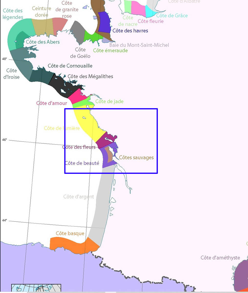
Why I chose France, because it is a country with a great variety of landscapes and with many beautiful regions all different from each other.

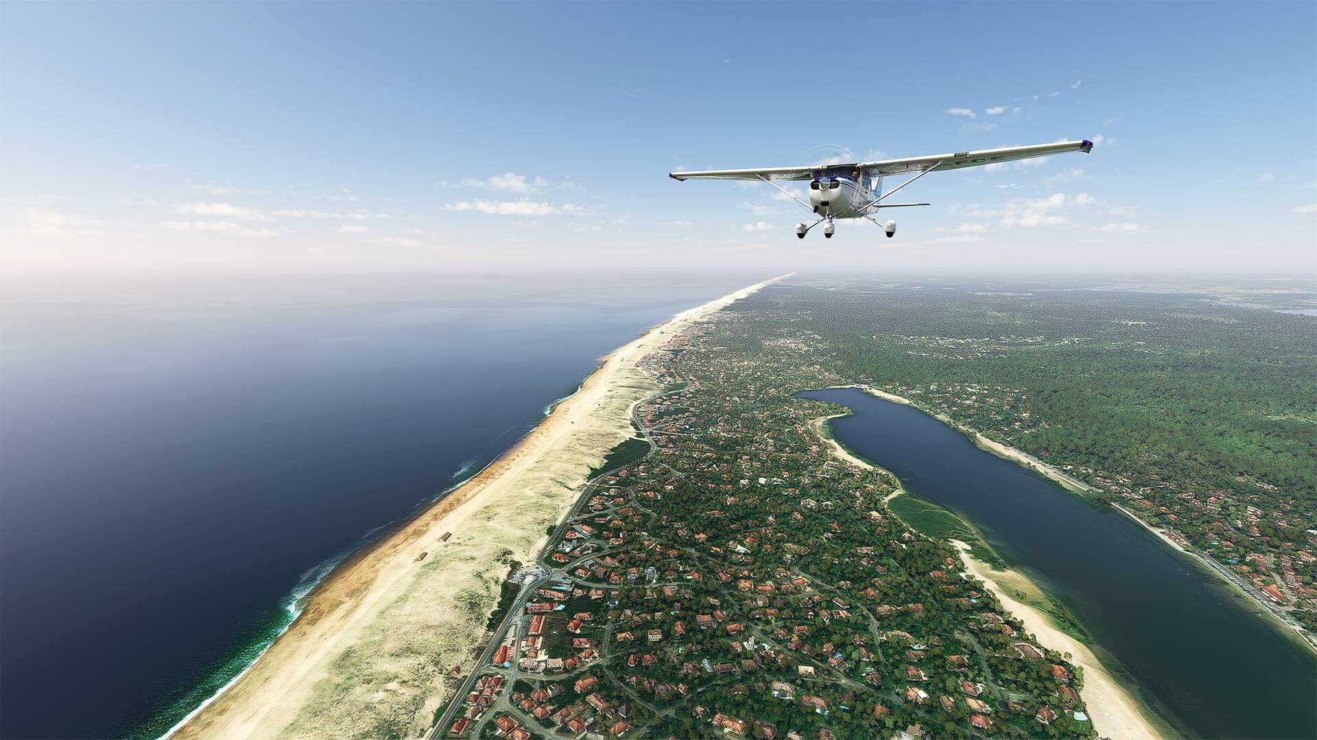
One day you are on the Atlantic coast and the next day in the Alps or along the Camargue in the south of France.

Since the last World Update 4: France & Benelux, it’s a pleasure to fly in this part of the world unlike the country where I live (Canada/Quebec which has a very disappointing mesh/landmark in my opinion).


This thread dedicated to my walks in France offers a lot of pictures with place names that you can check on google map (or Bing map) for more information


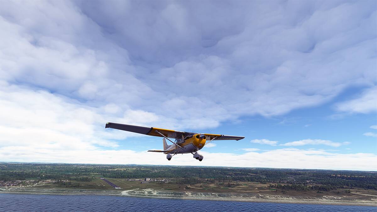
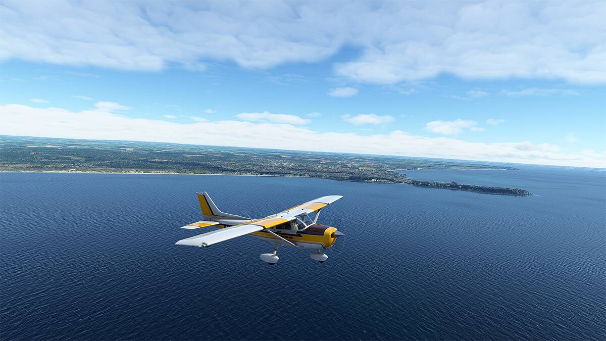
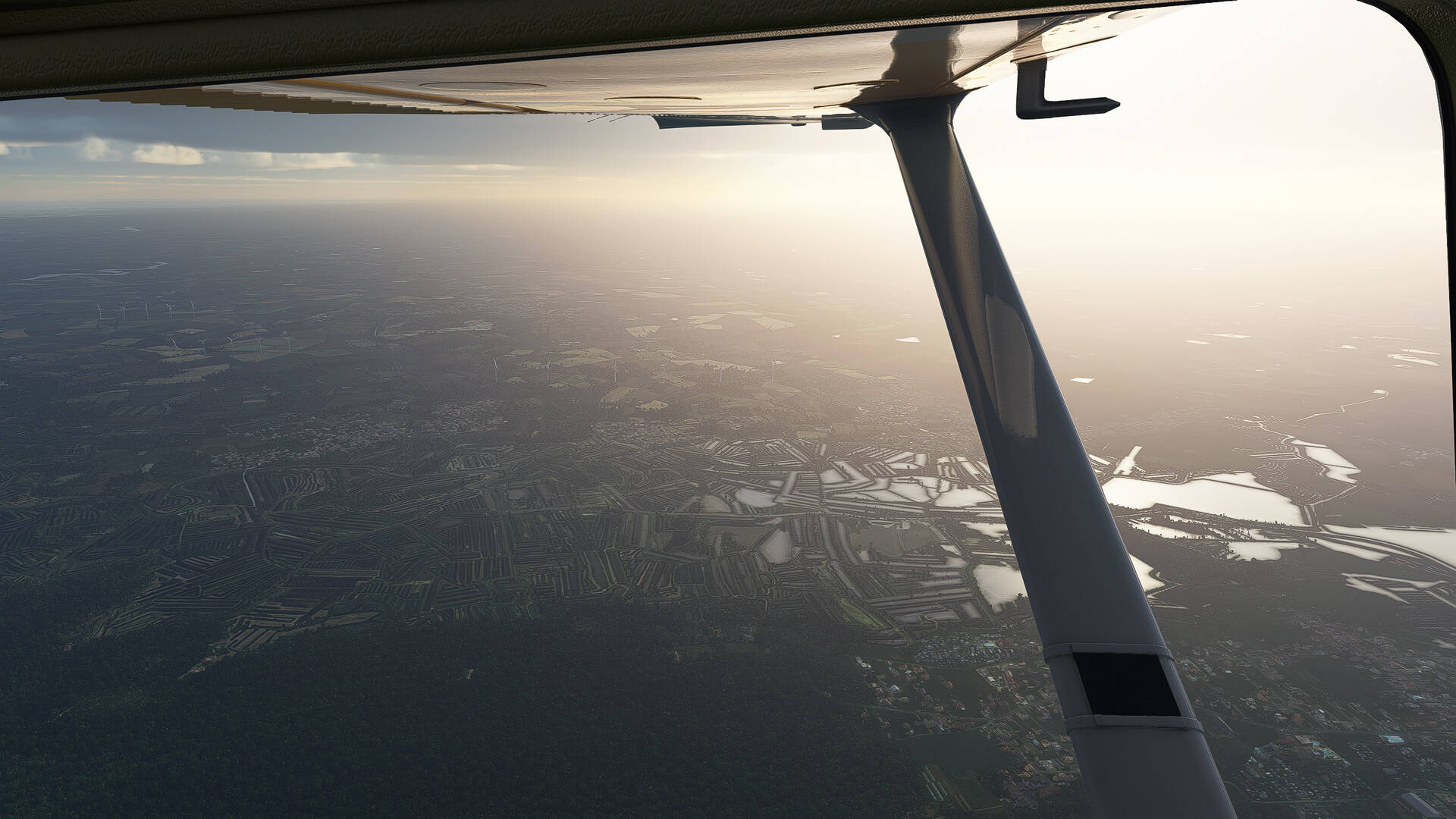
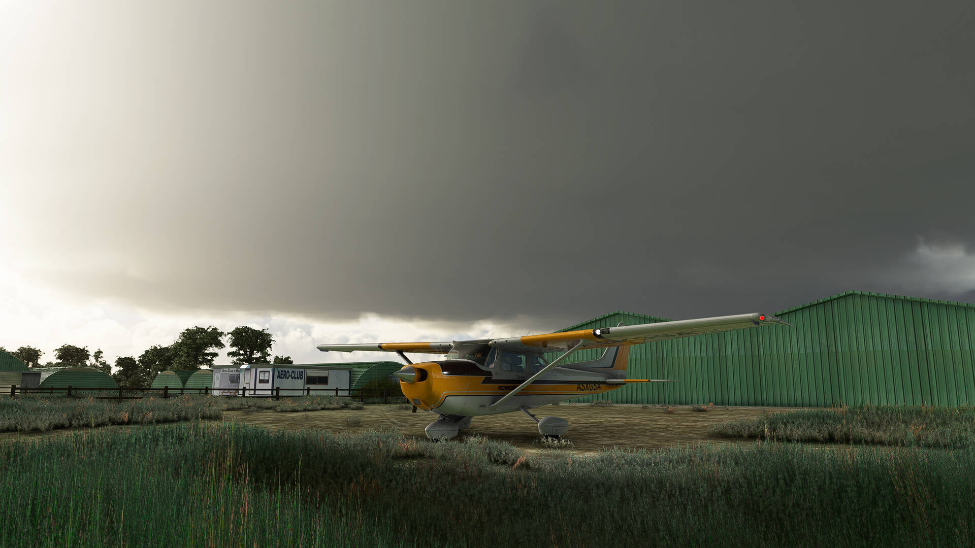
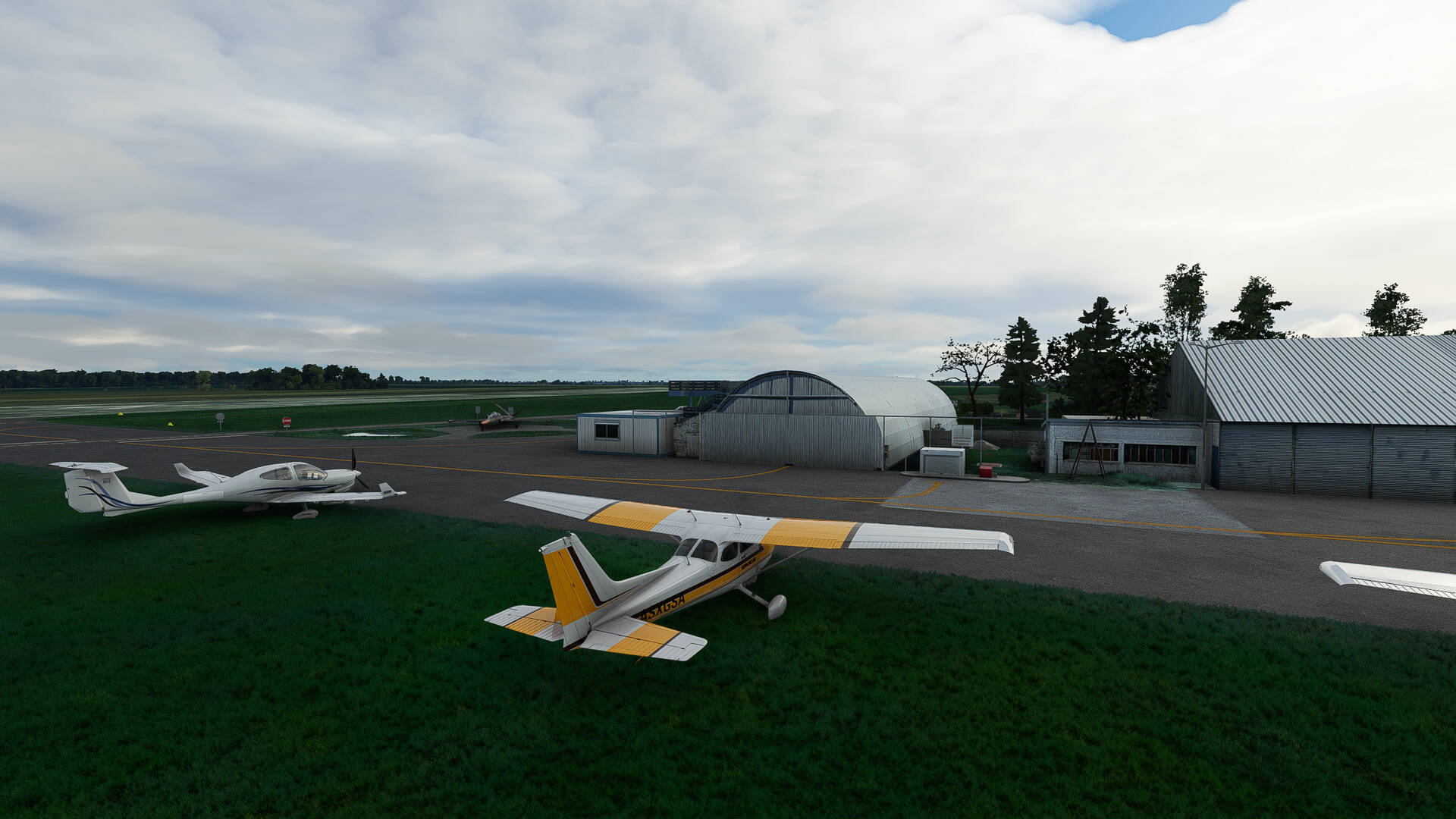
I fly around in a Cessna with flights of about 90 minutes and enjoy the scenery that FS2020 offers.

I am a beginner and I don’t know much about aviation, but I have a lot of fun.

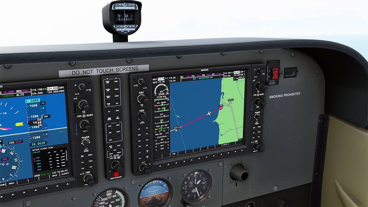
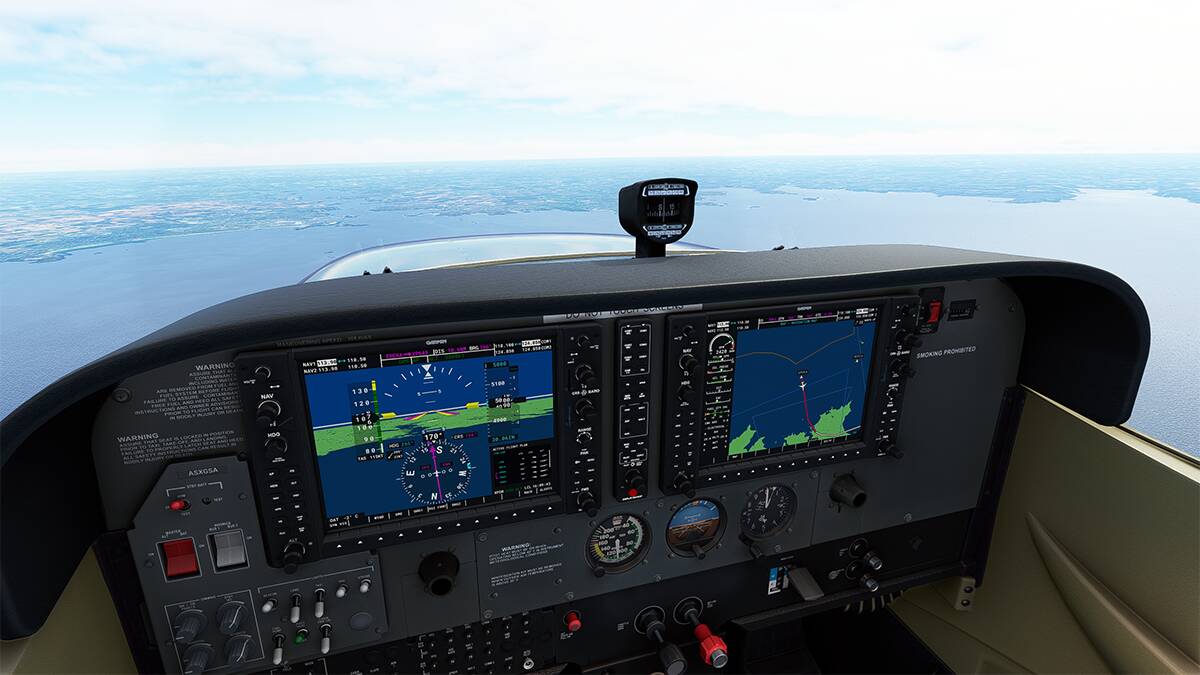
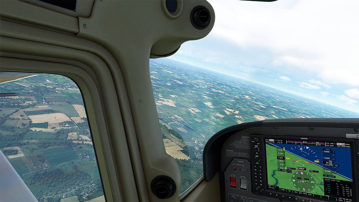
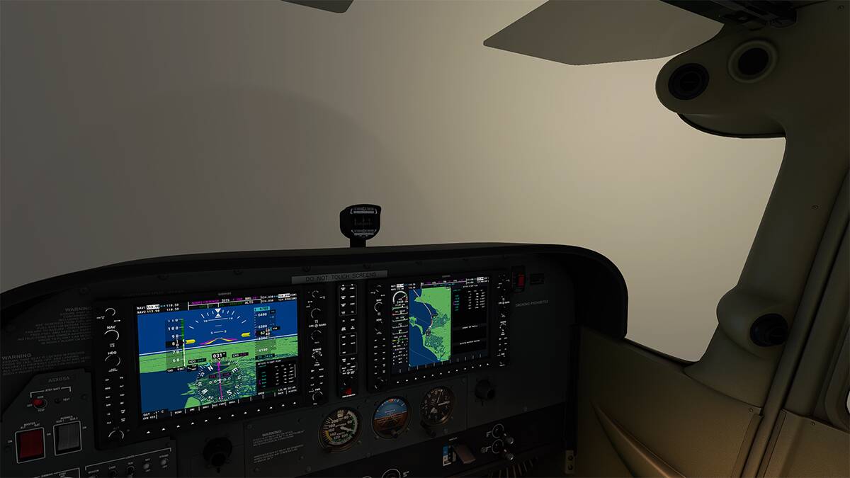
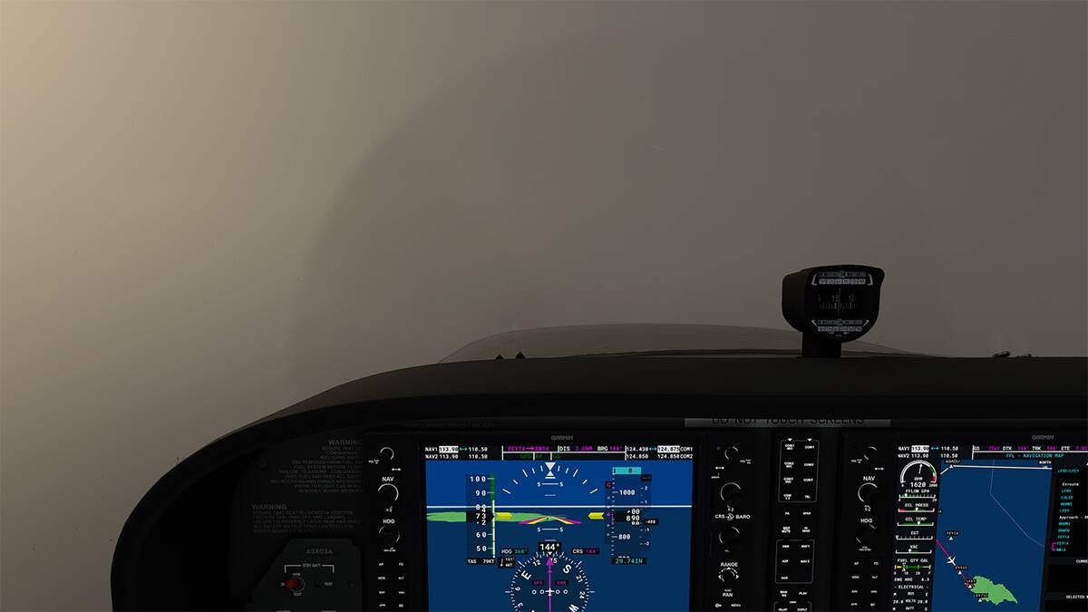
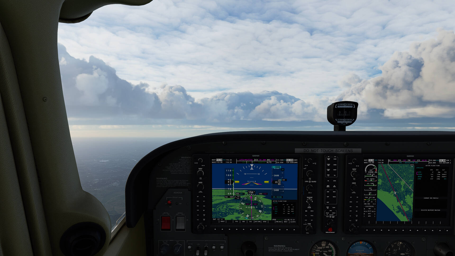
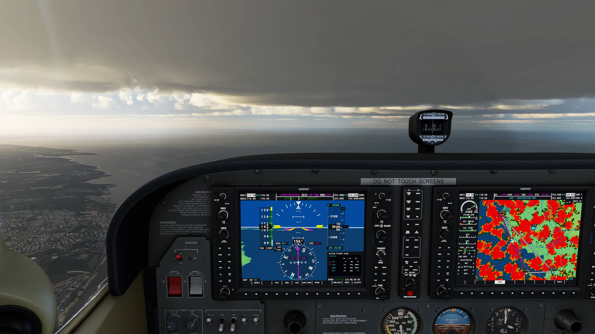
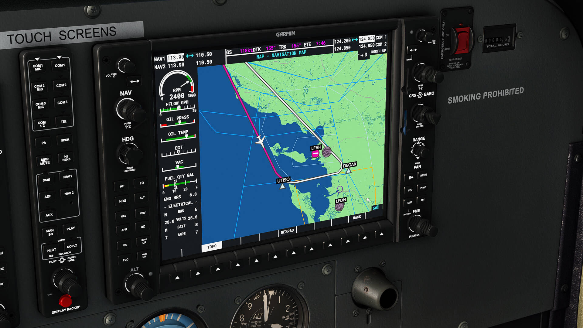
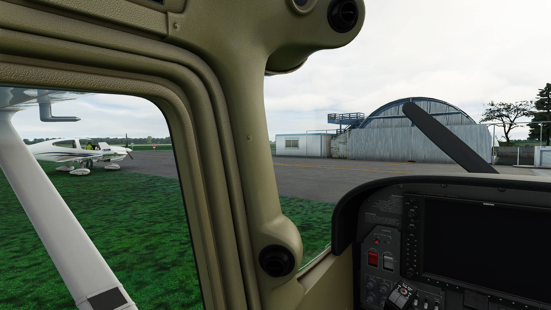
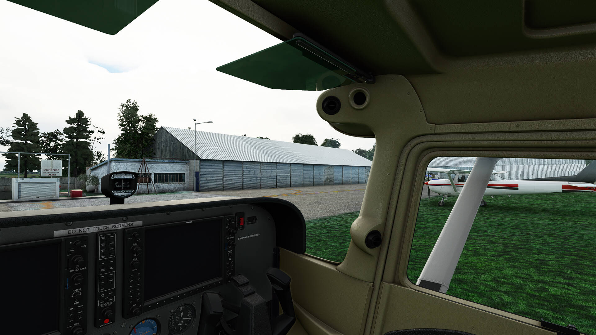
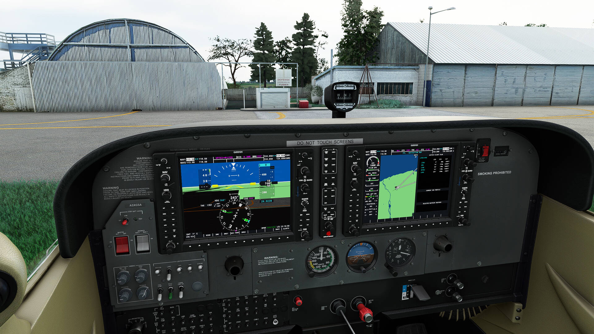
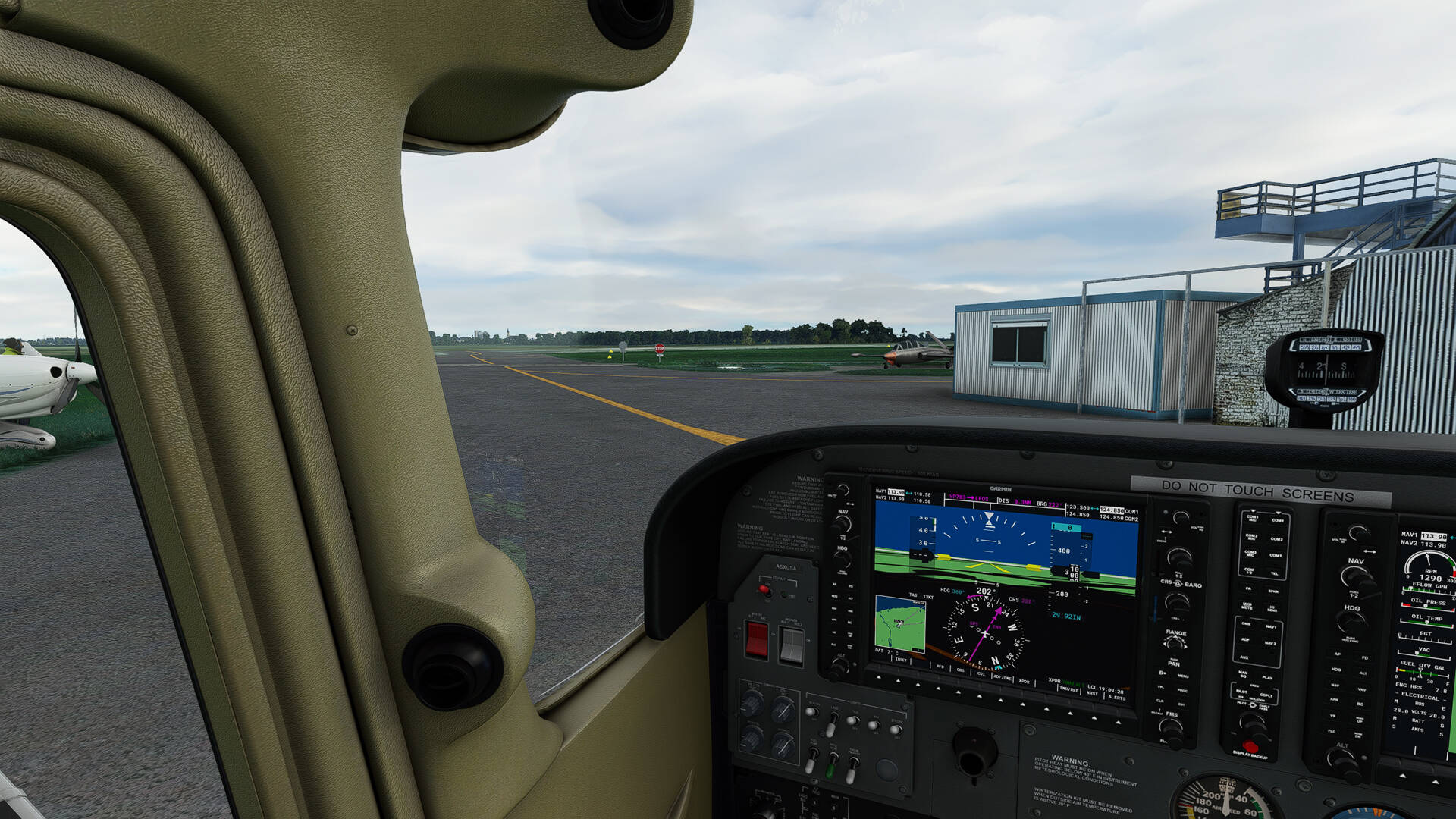
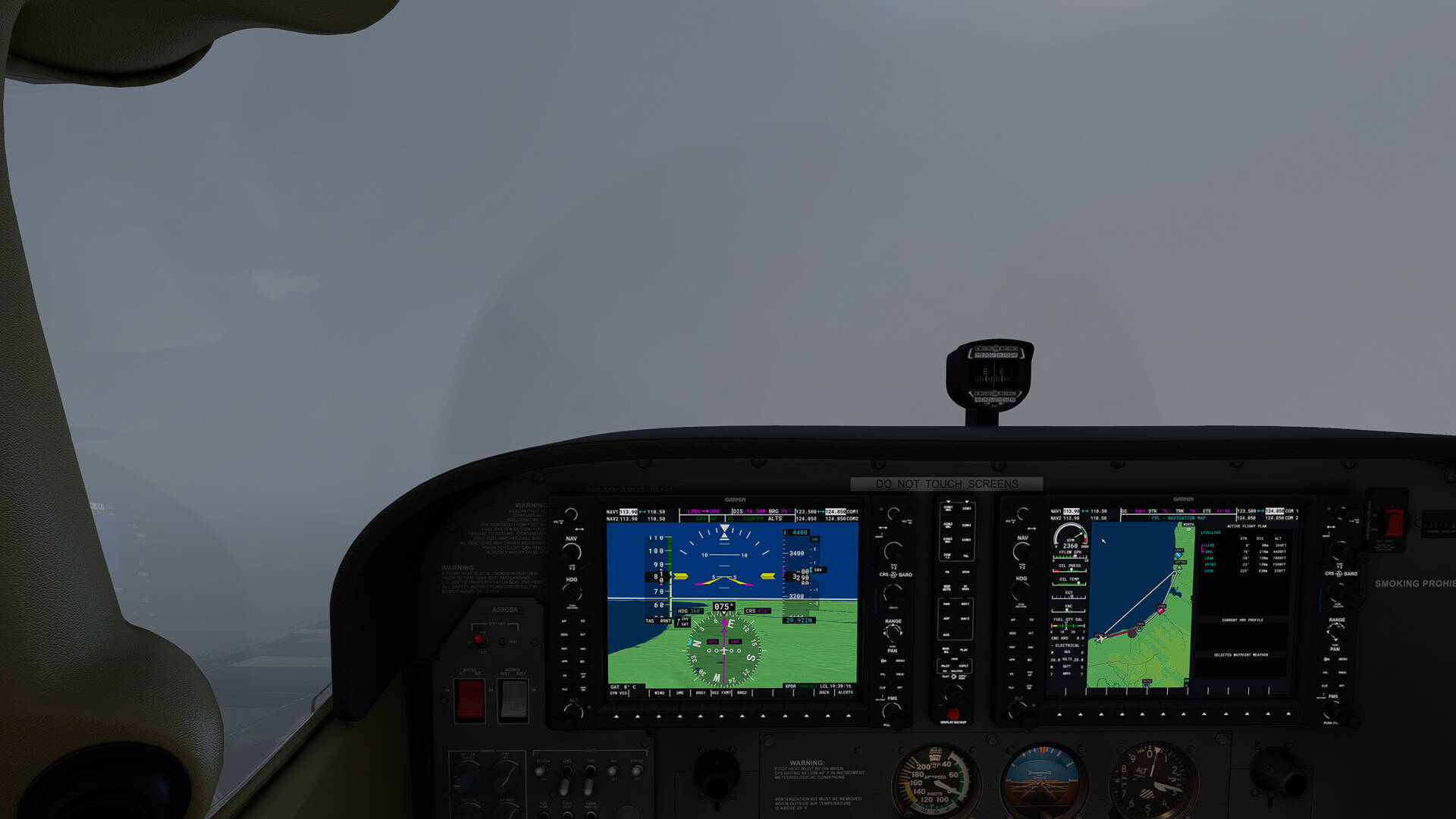
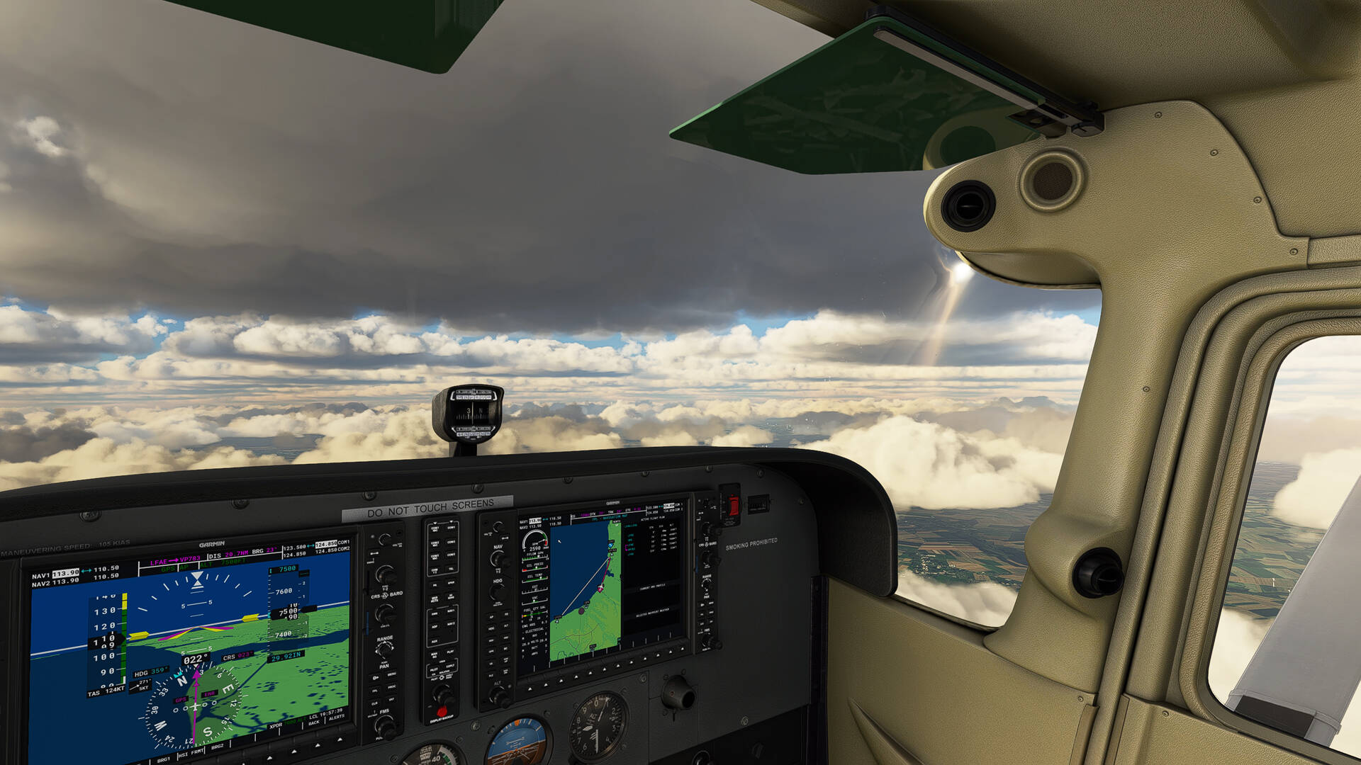
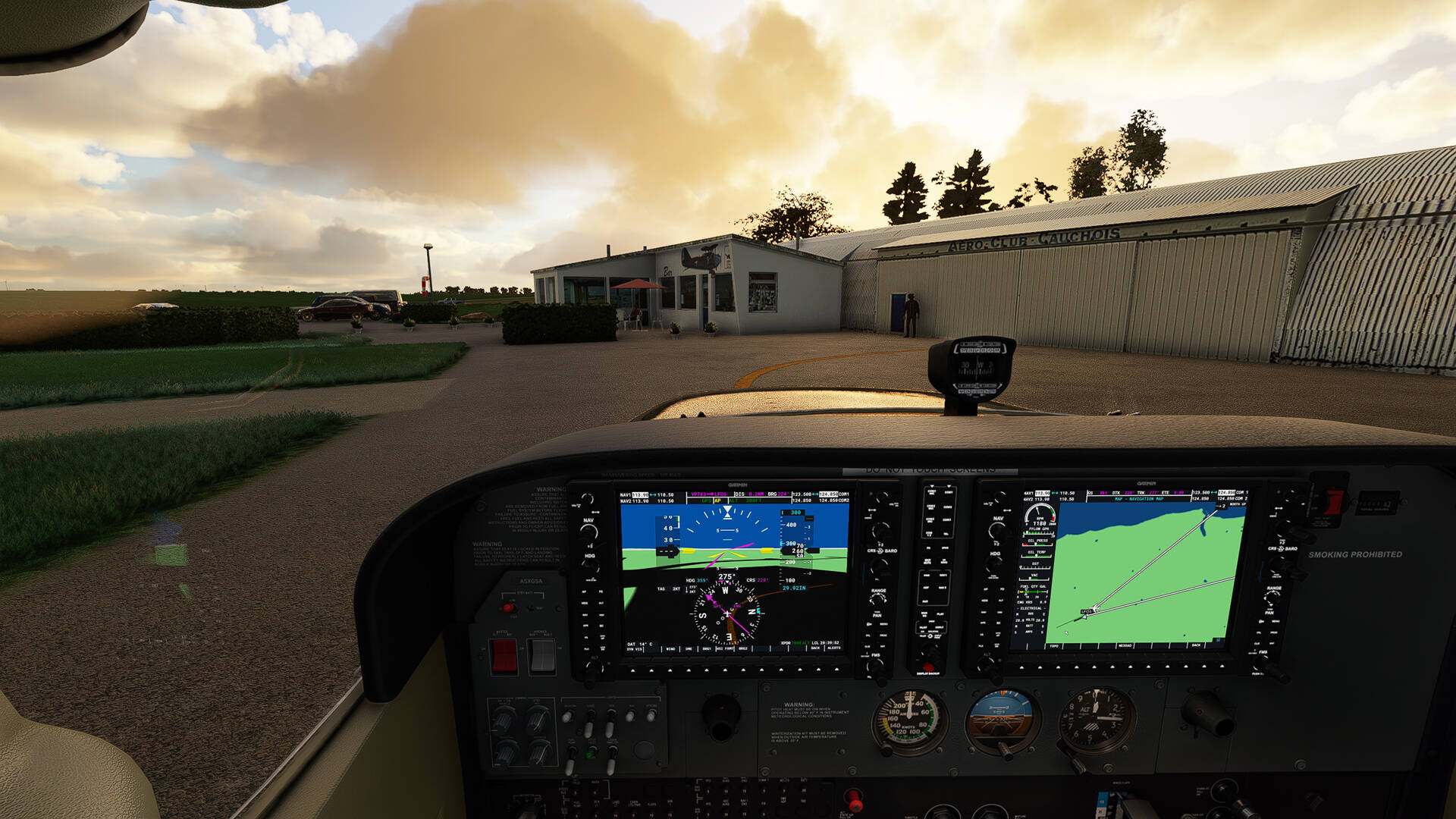
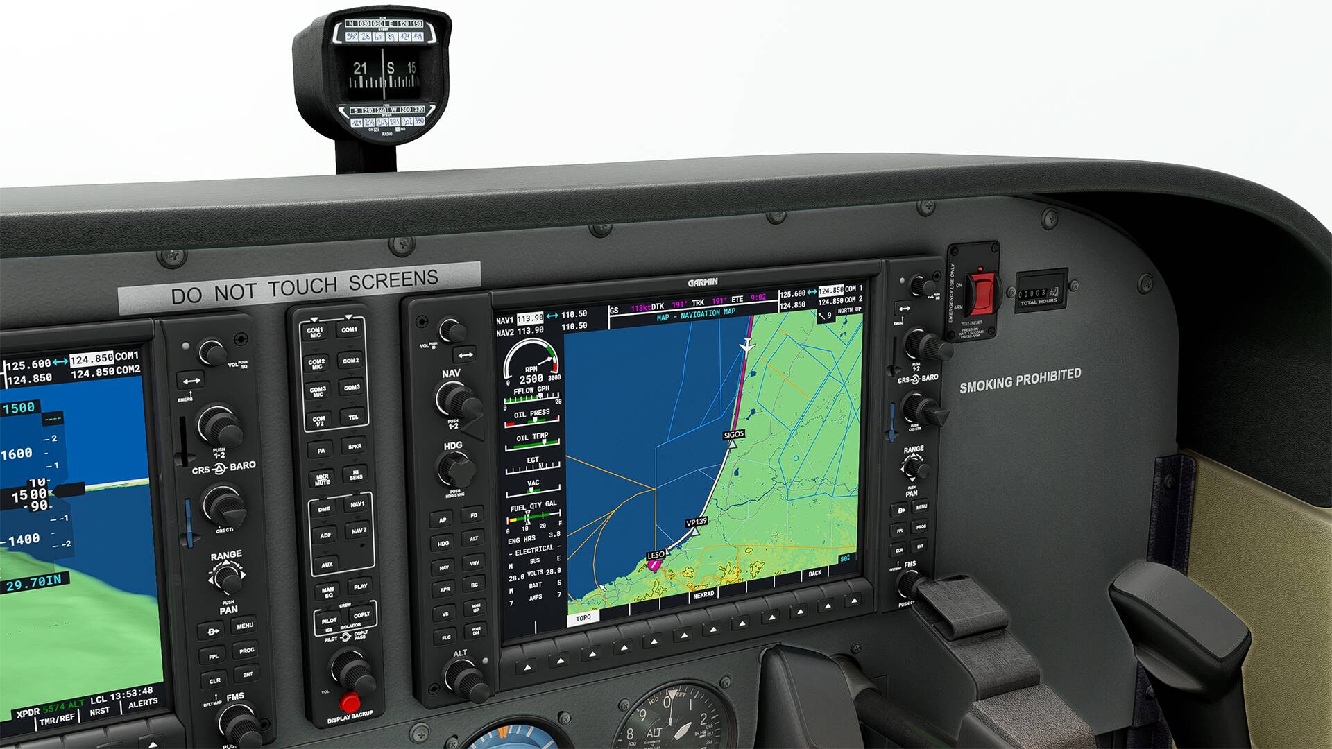
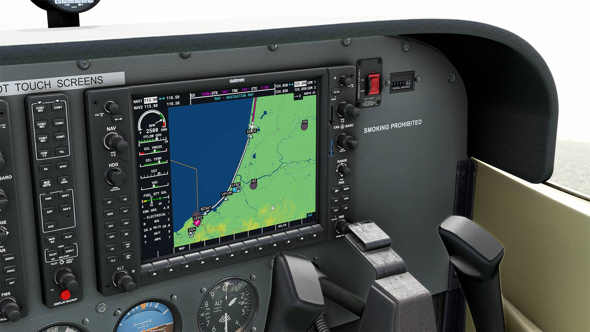
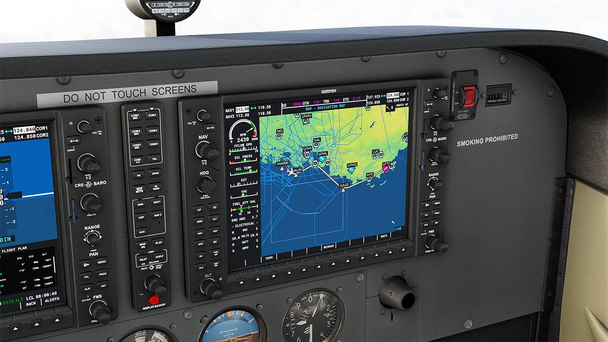
I only use the Cessna G1000 by default and I use the following check list (PDF) as a reference with my ipad PRO during the flight.

https://www.acriv.org/fichiers/pdf/check-list/FGVPT-Check.pdf

http://aeroclub.brocard.free.fr/acb_v0/docs/c172sp_check_list_v1.pdf


Material :

I just bought some entry level equipment to replace my T.16000M FCS.

It’s Logitech hardware that has good feedback for beginners like me.

Everything works and the logitech system is recognized by FS2020 automatically.

I refined the yoke settings with Huddison’s advice

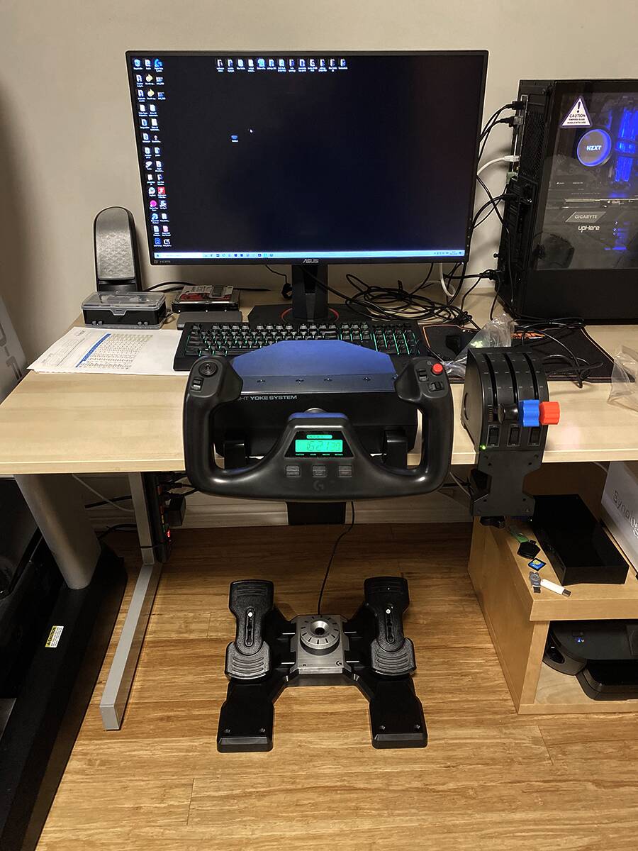
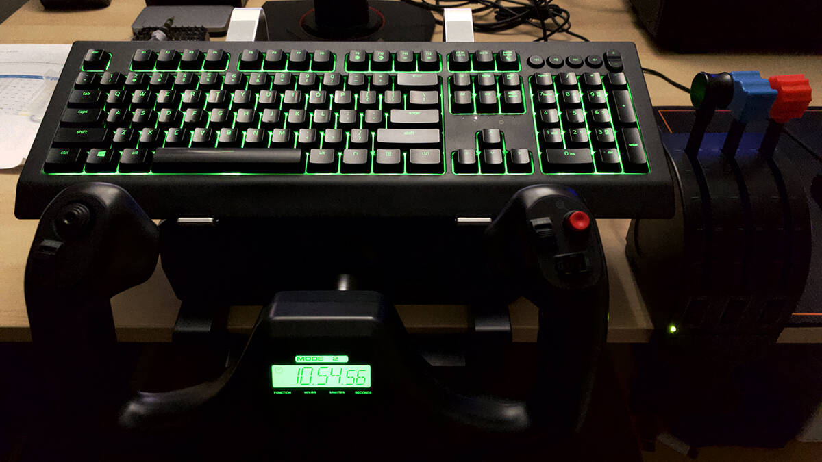
And I am actually very happy with the Logitech hardware


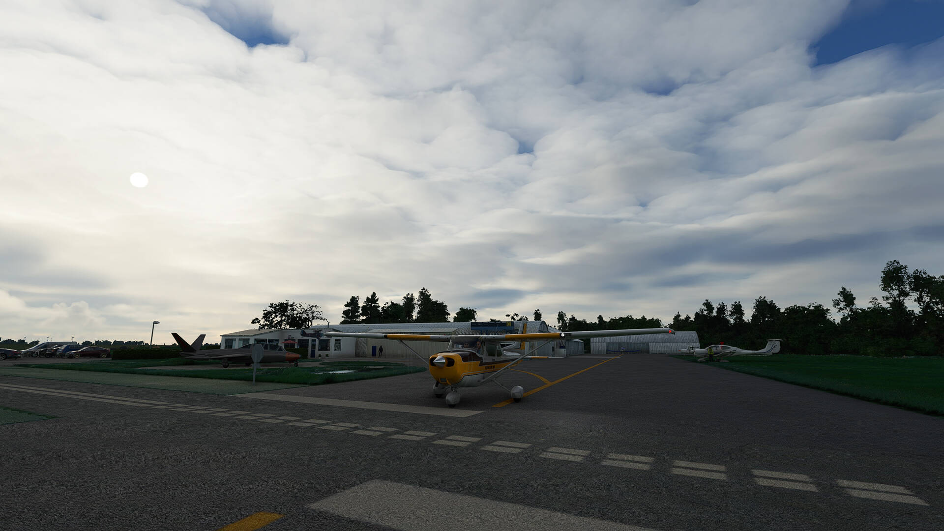
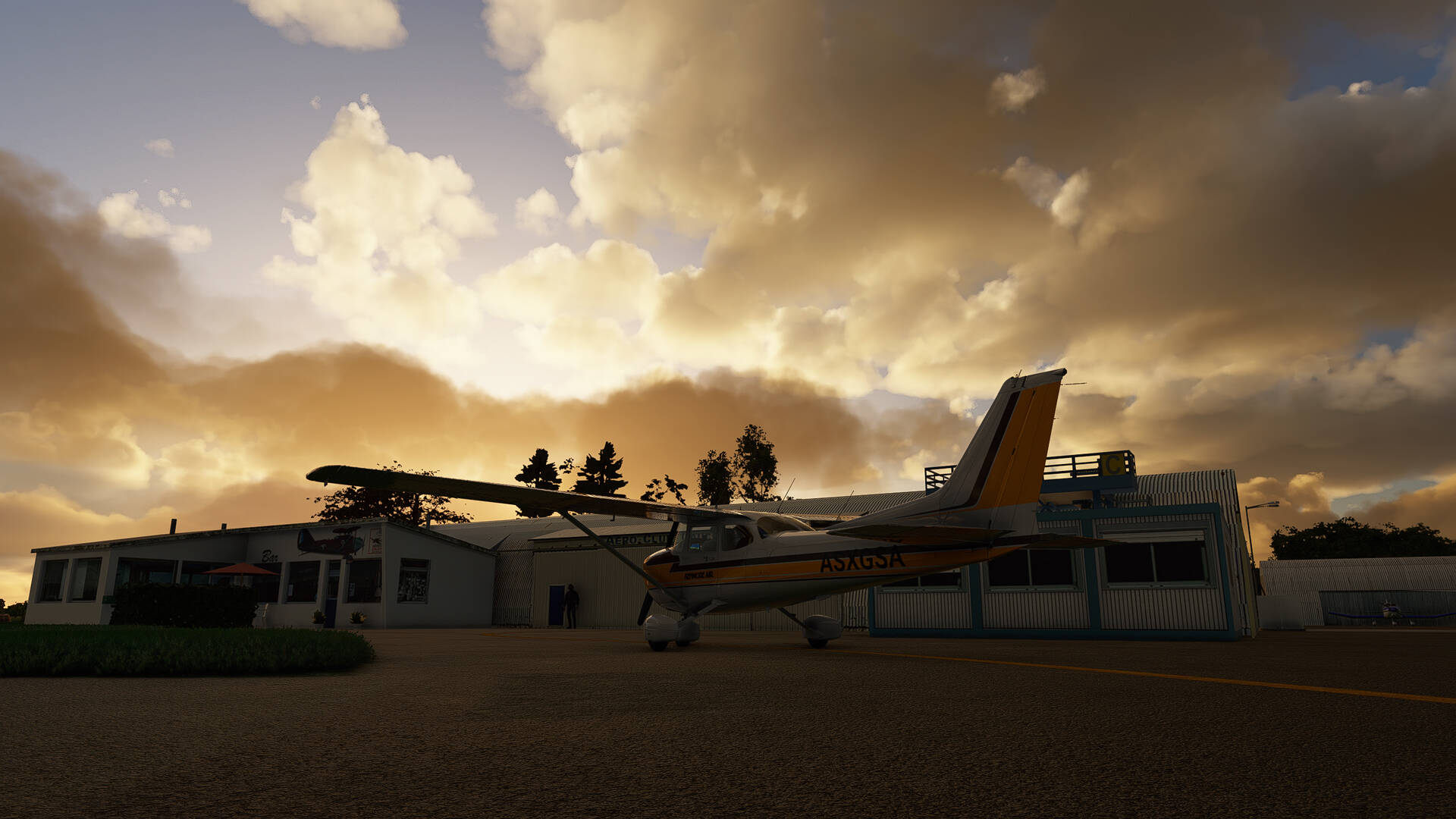
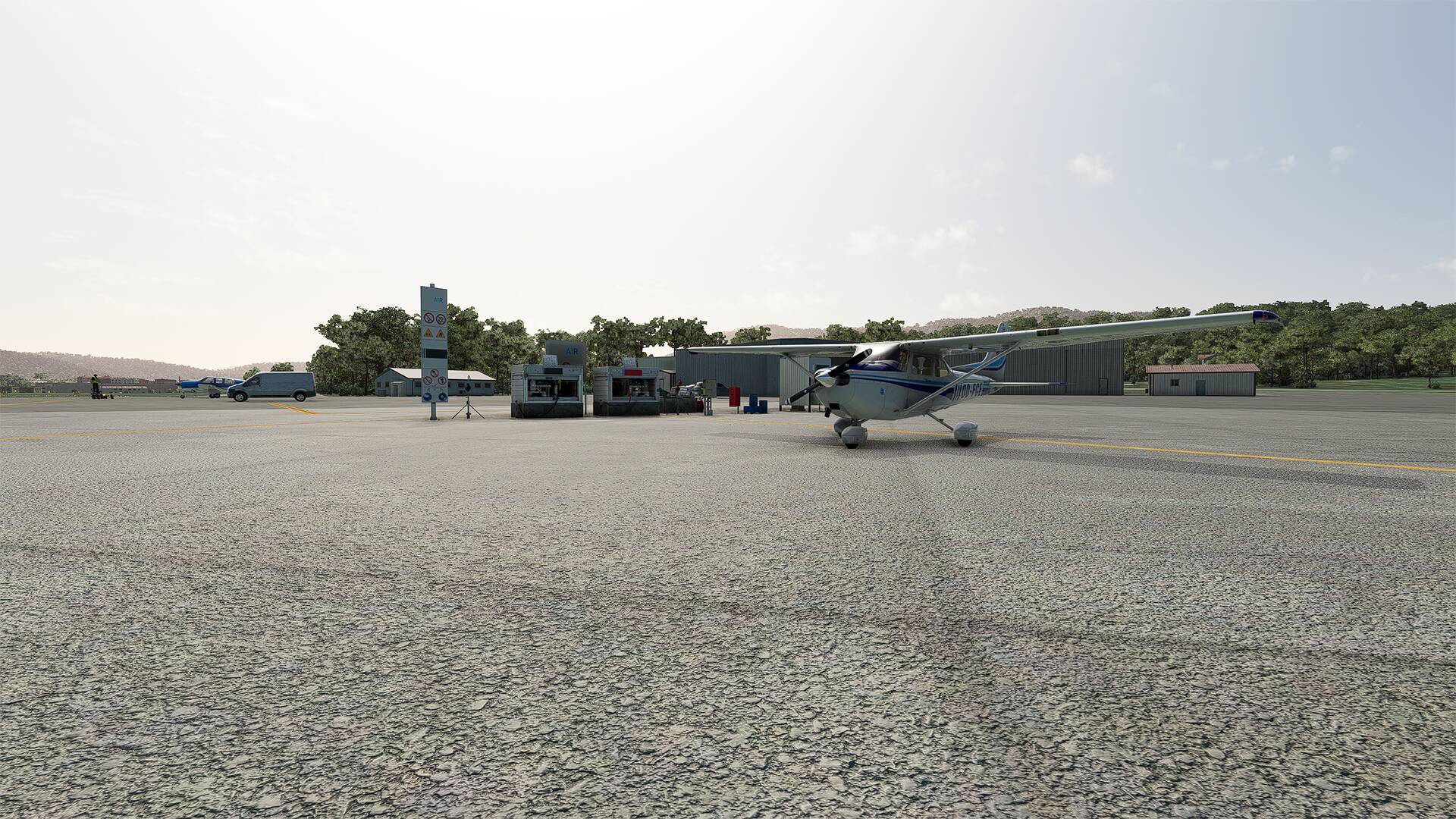
Currently for my flights in France, I use the following addons:

Addons :

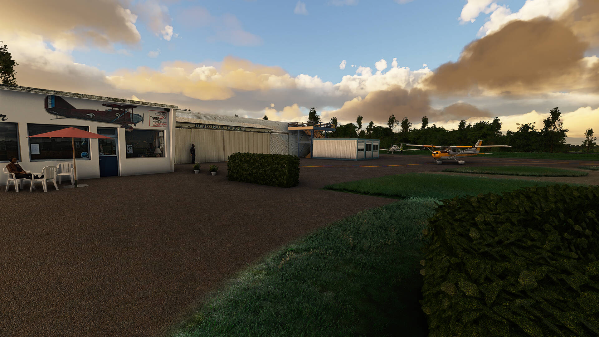
Aerosoft : St. Tropez (LFTZ)
TBLFSCENERY - Vendée-Beauvoir (LFFO)
Pilot experience sim- Montpellier (LFMT)
Obstacles and markers France VFR Version 4
SoFly Weather Preset Pro
Zinertek - enhanced airport graphics

This will change depending on the availability of new addons in the future or my desires.
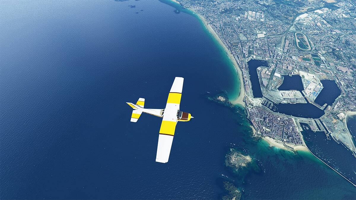
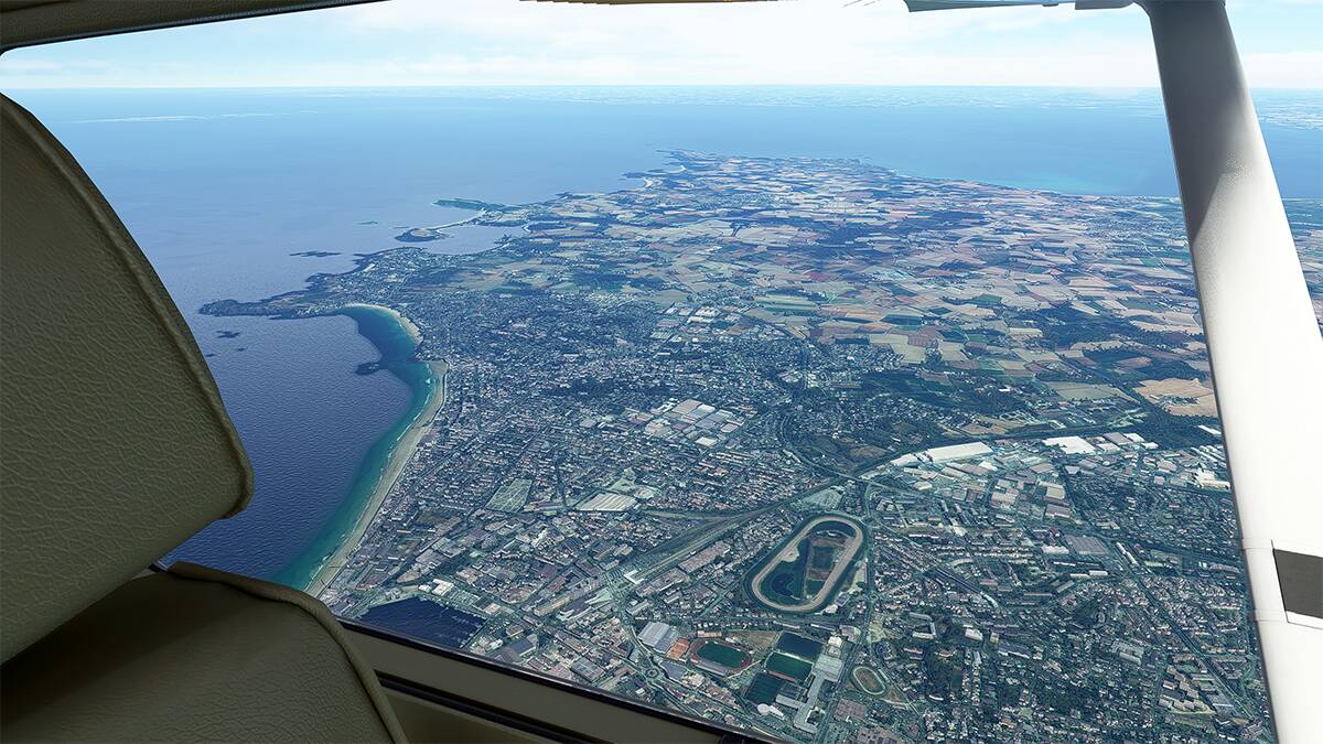
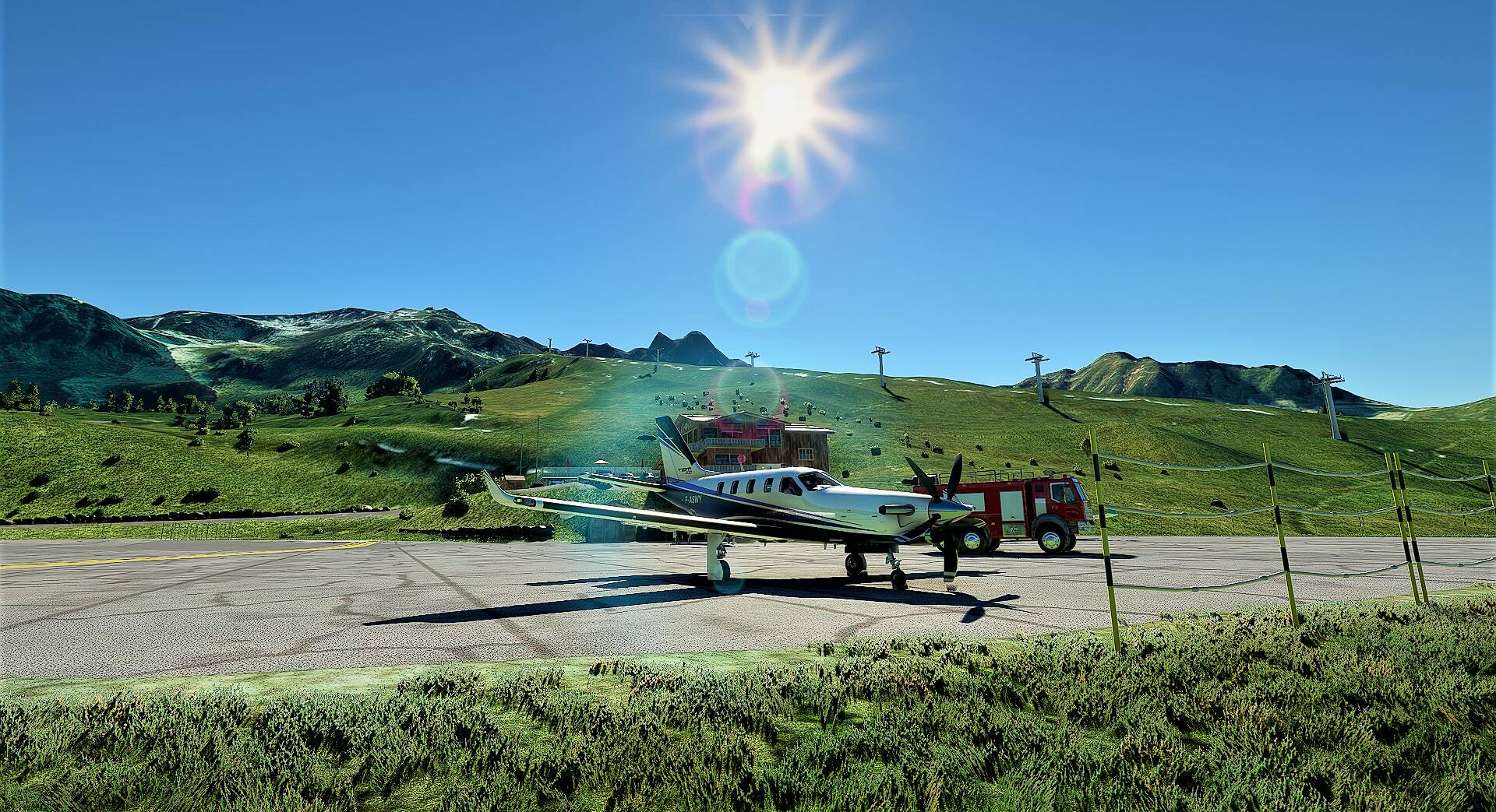
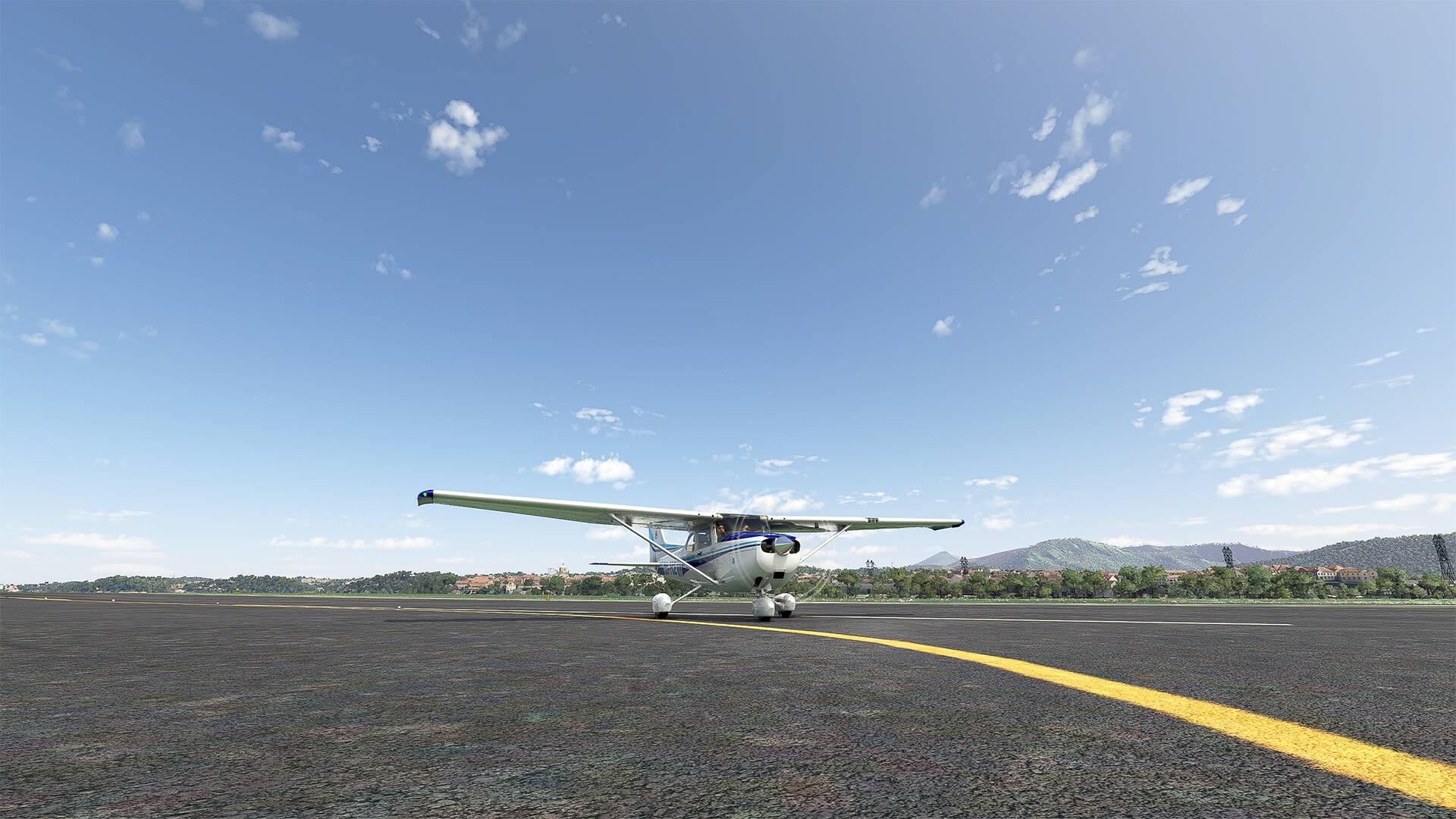
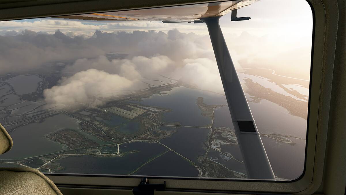
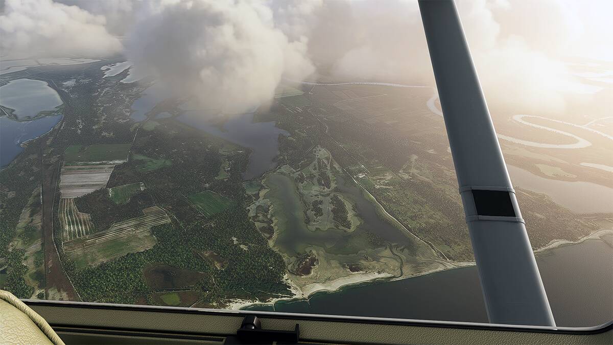
---------------------------------------------------------------------------------------------------------------------------------
---------------------------------------------------------------------------------------------------------------------------------

LFMT >>> LFTZ

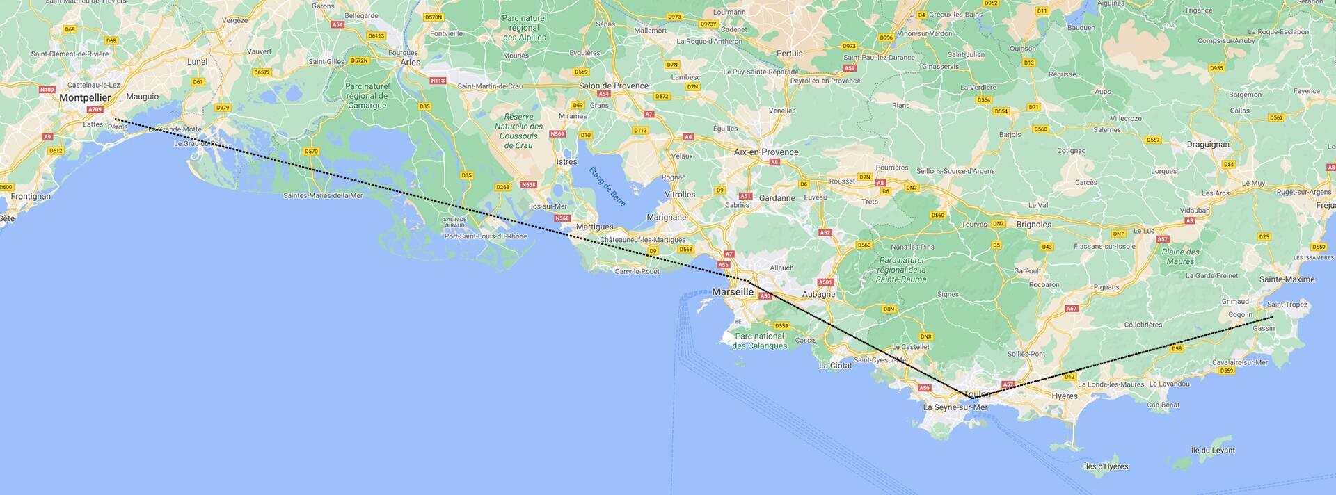
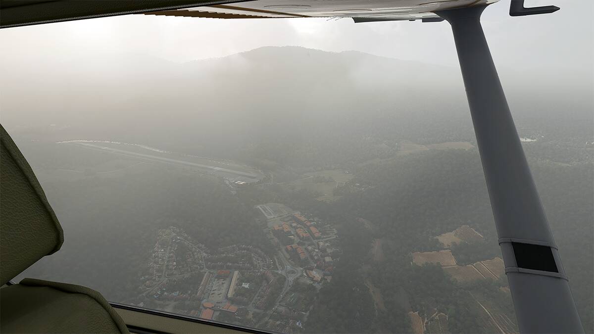
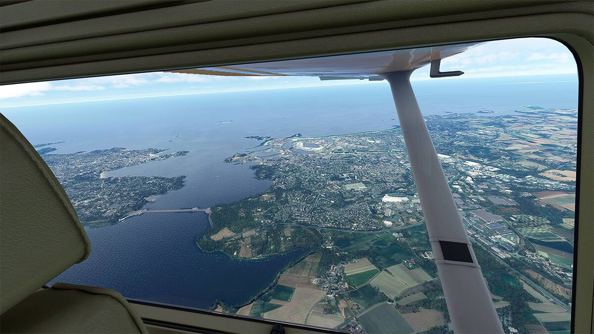
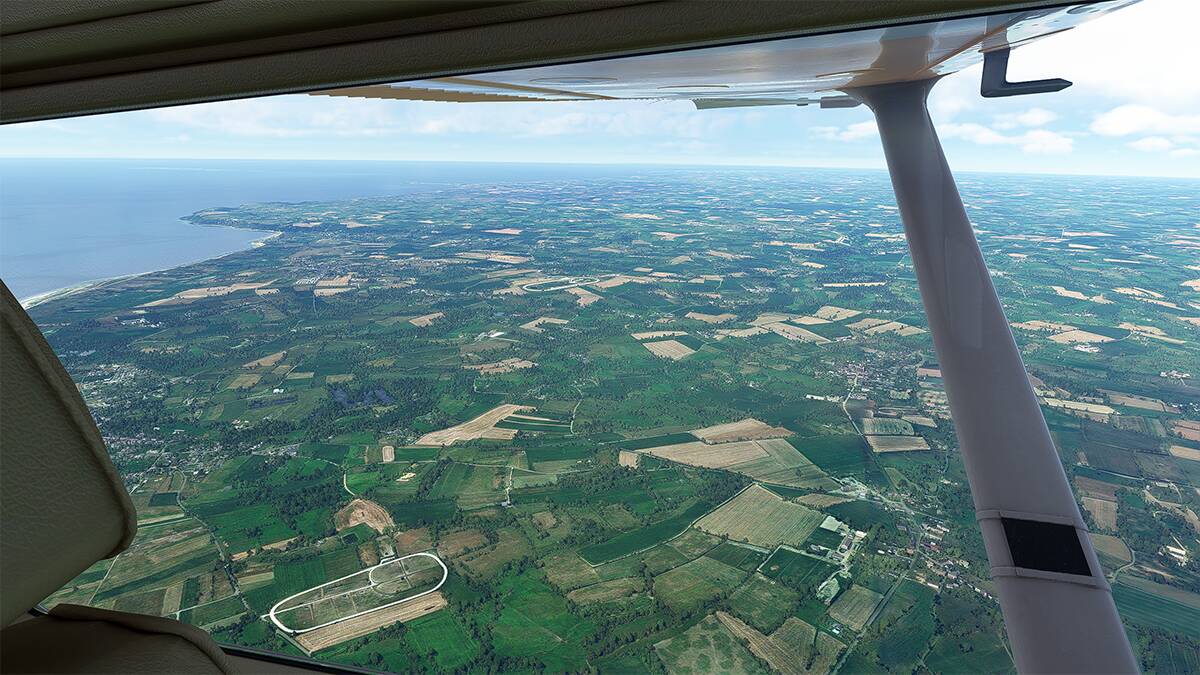
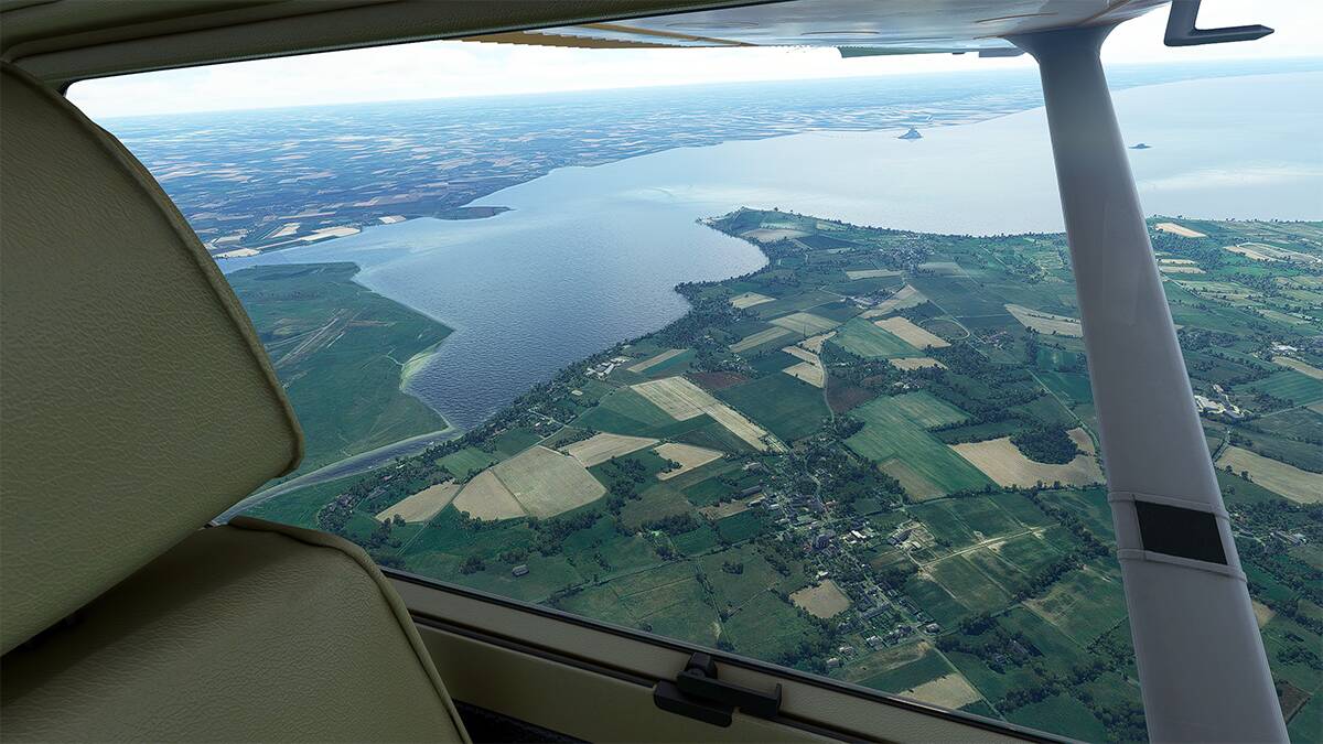
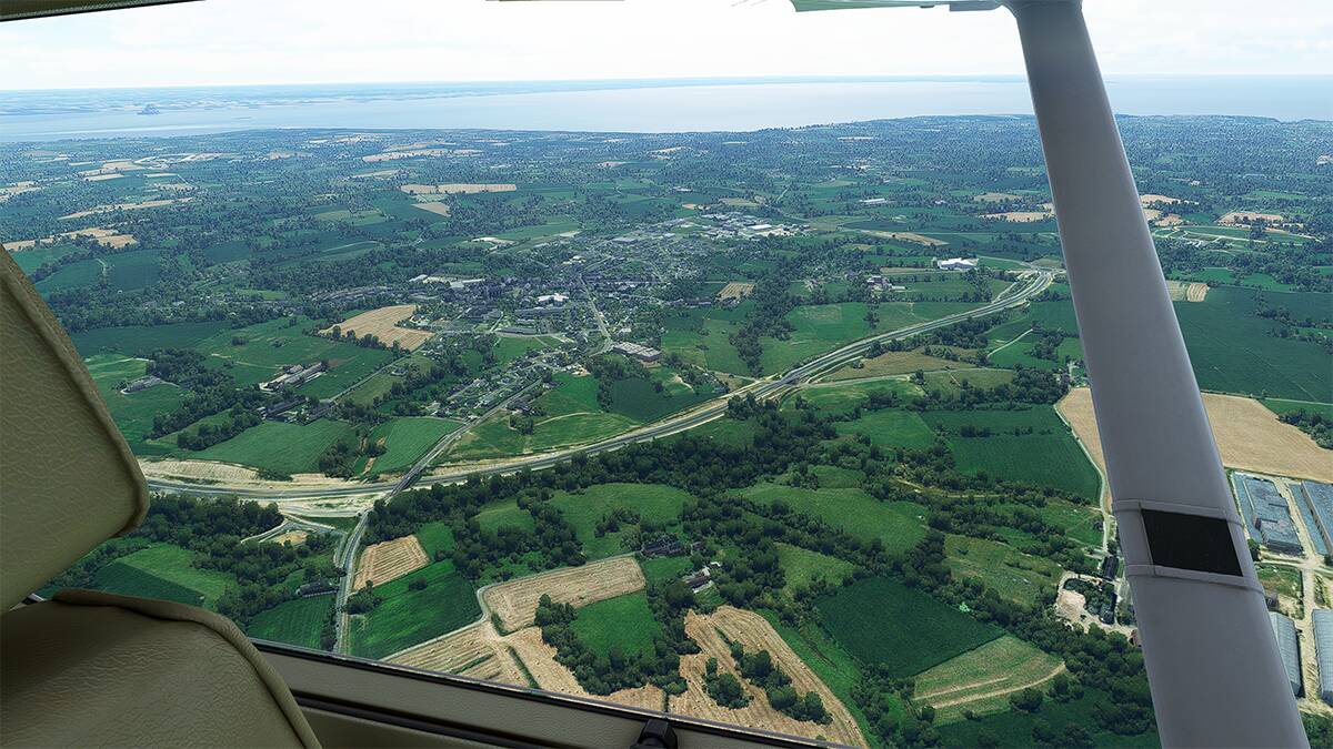
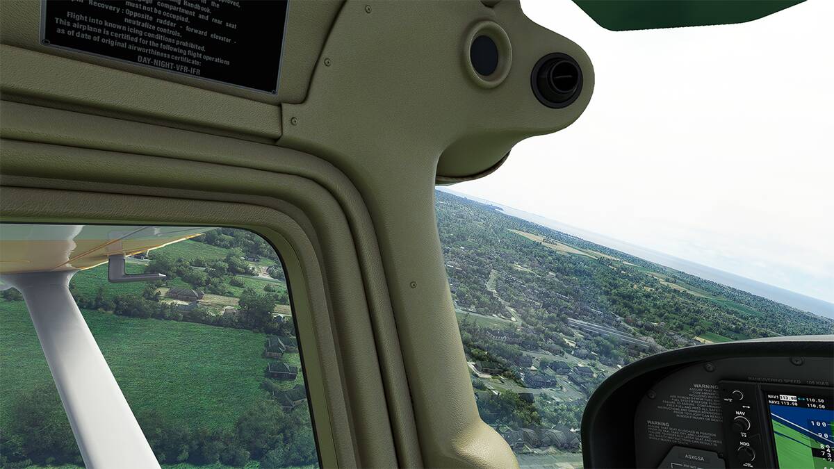
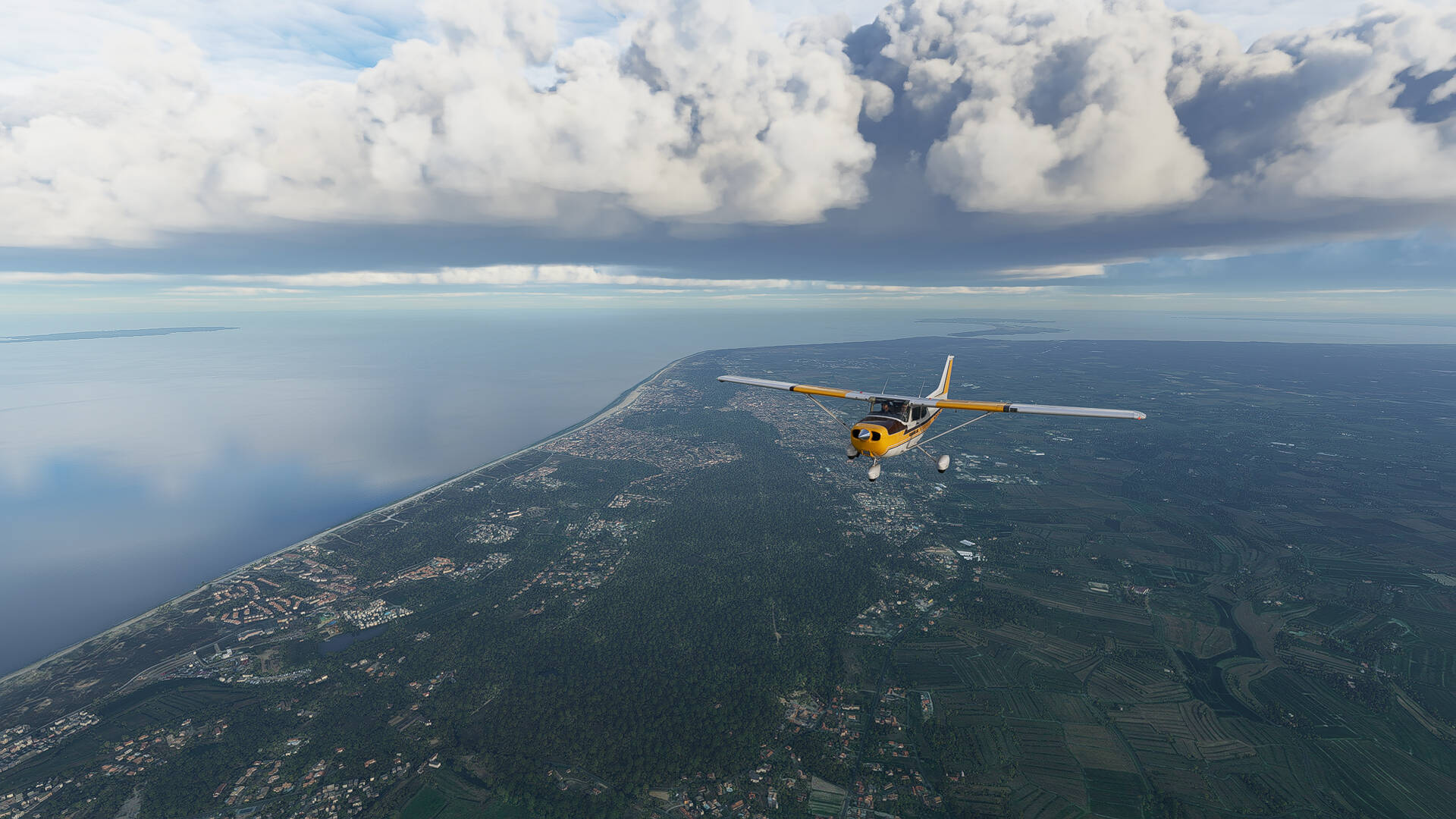
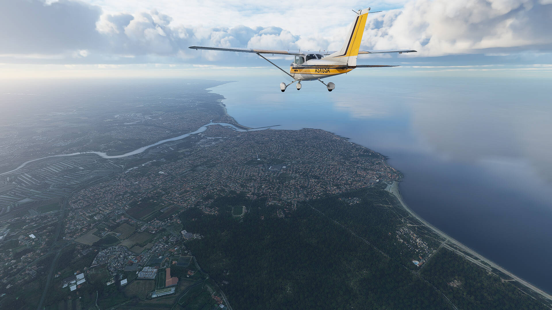
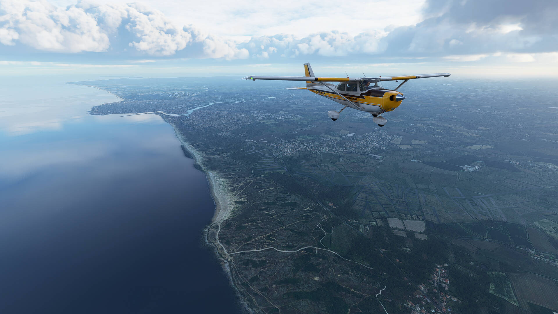
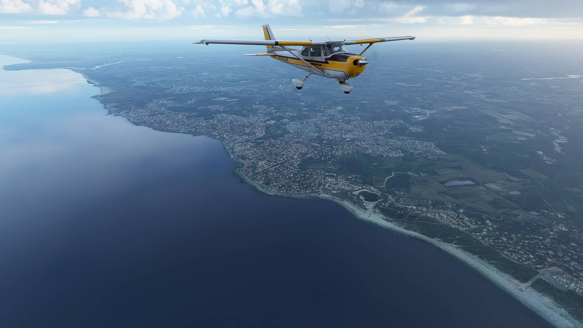
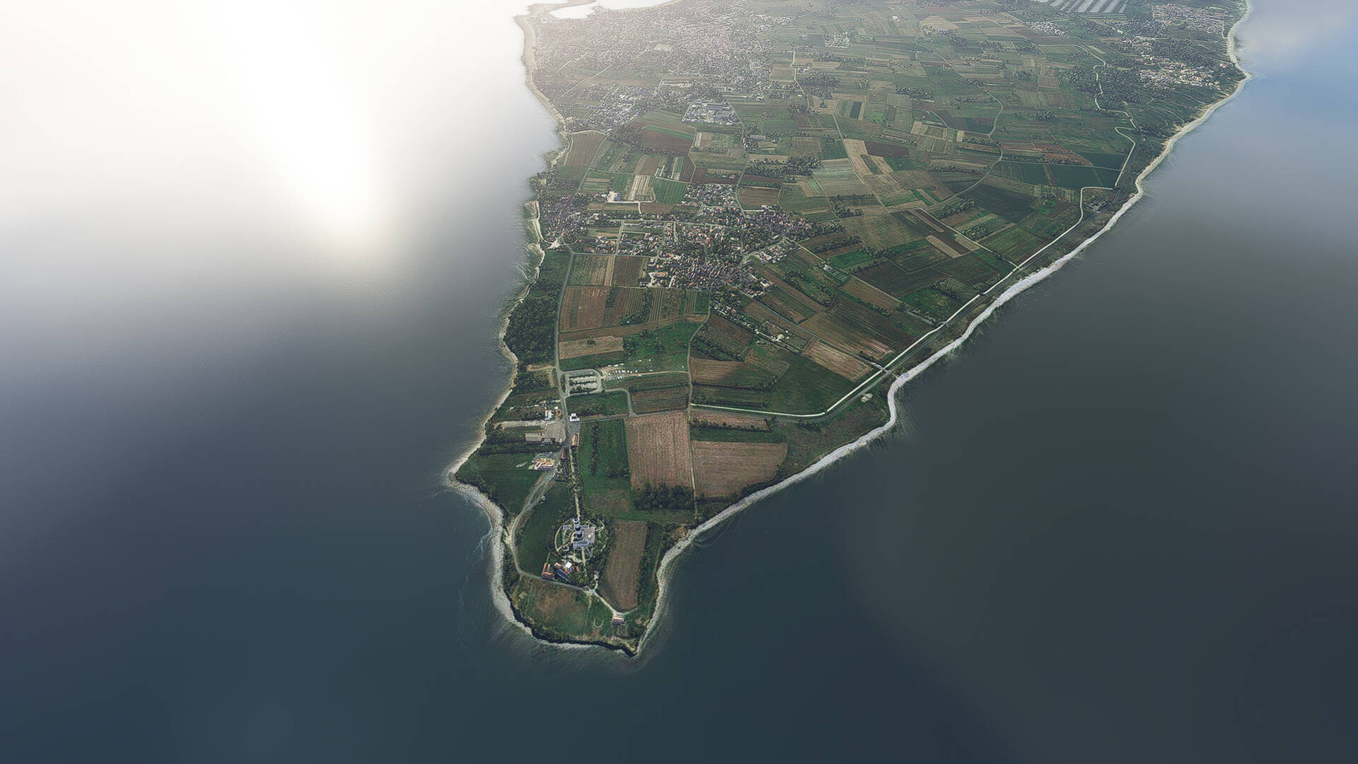
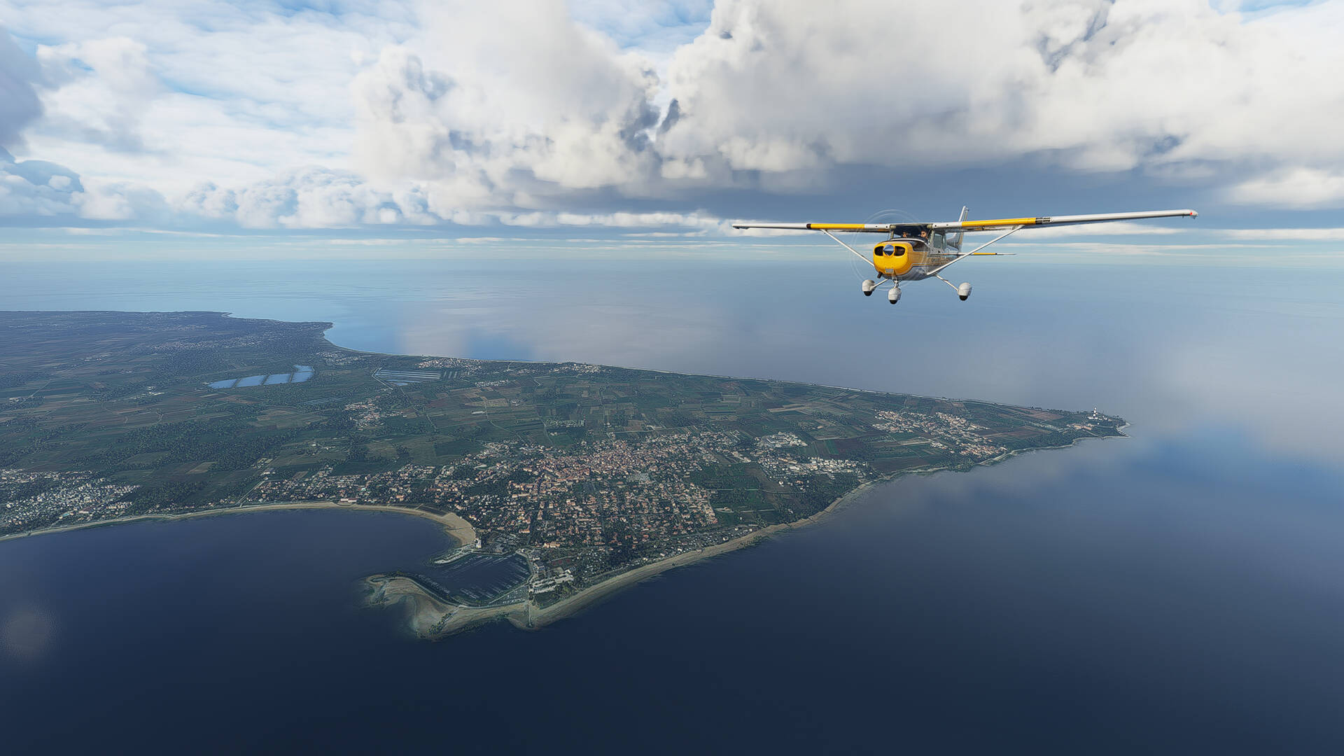
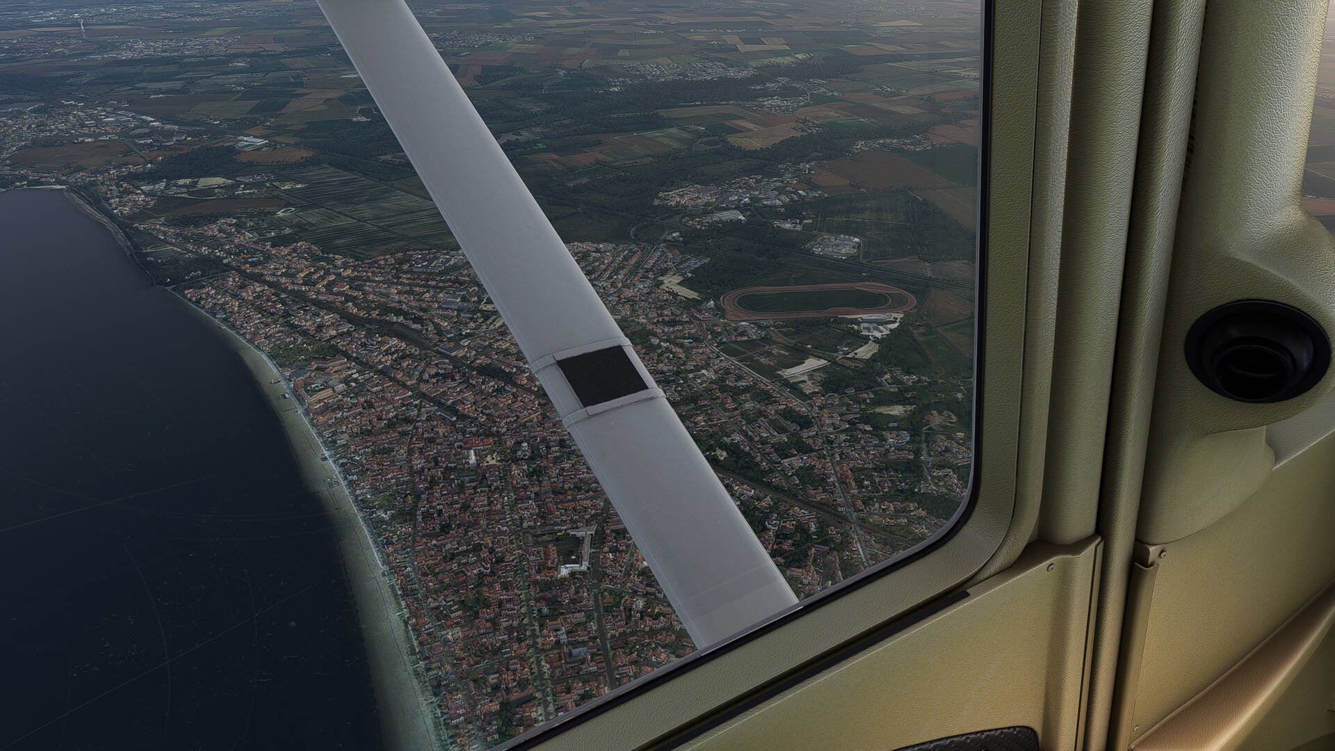
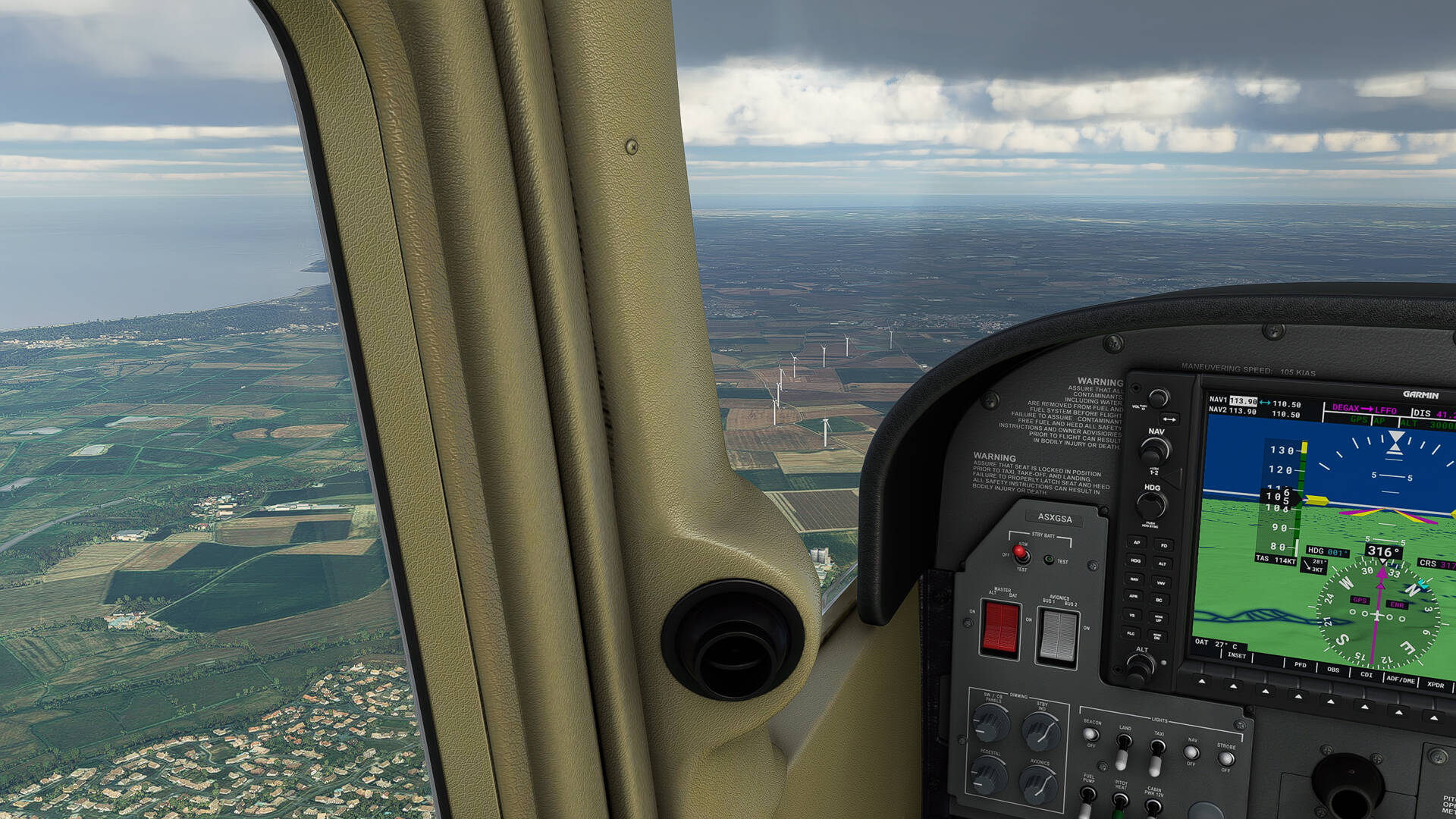
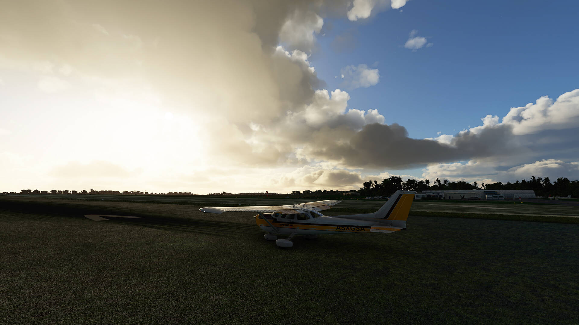
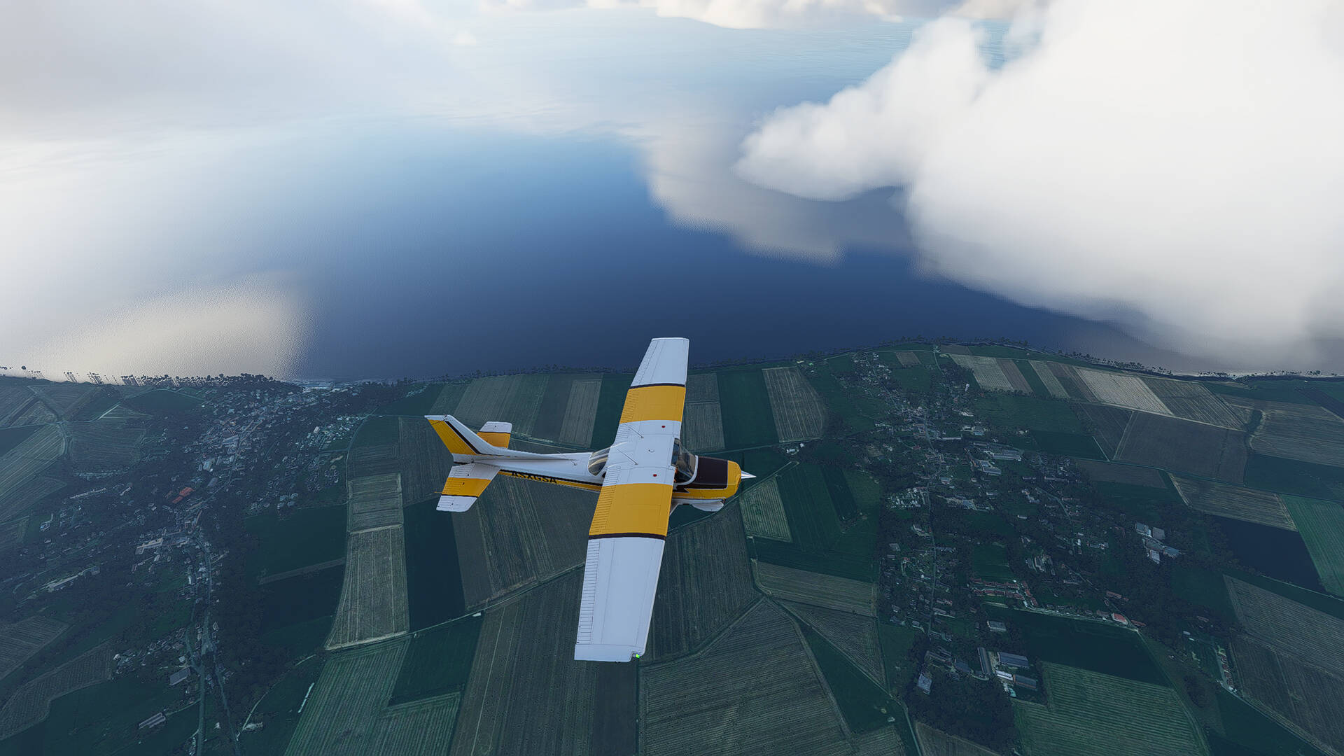
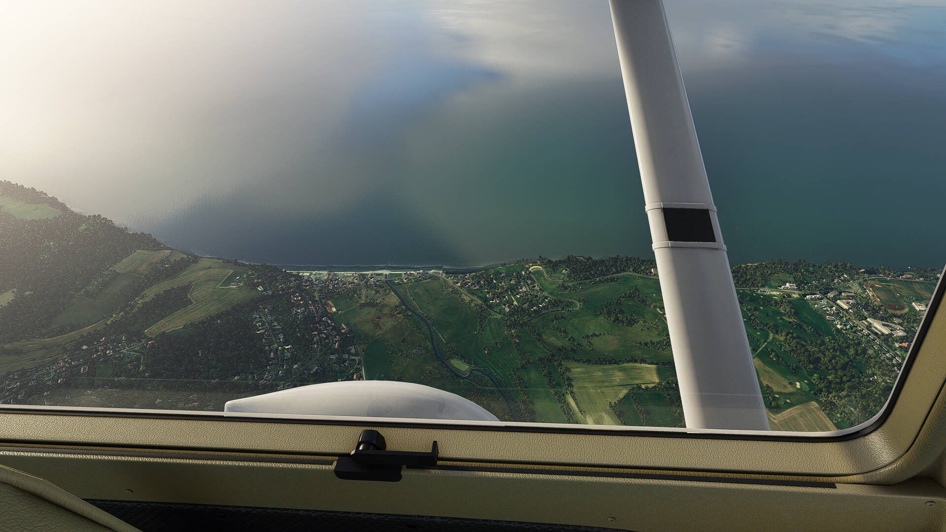
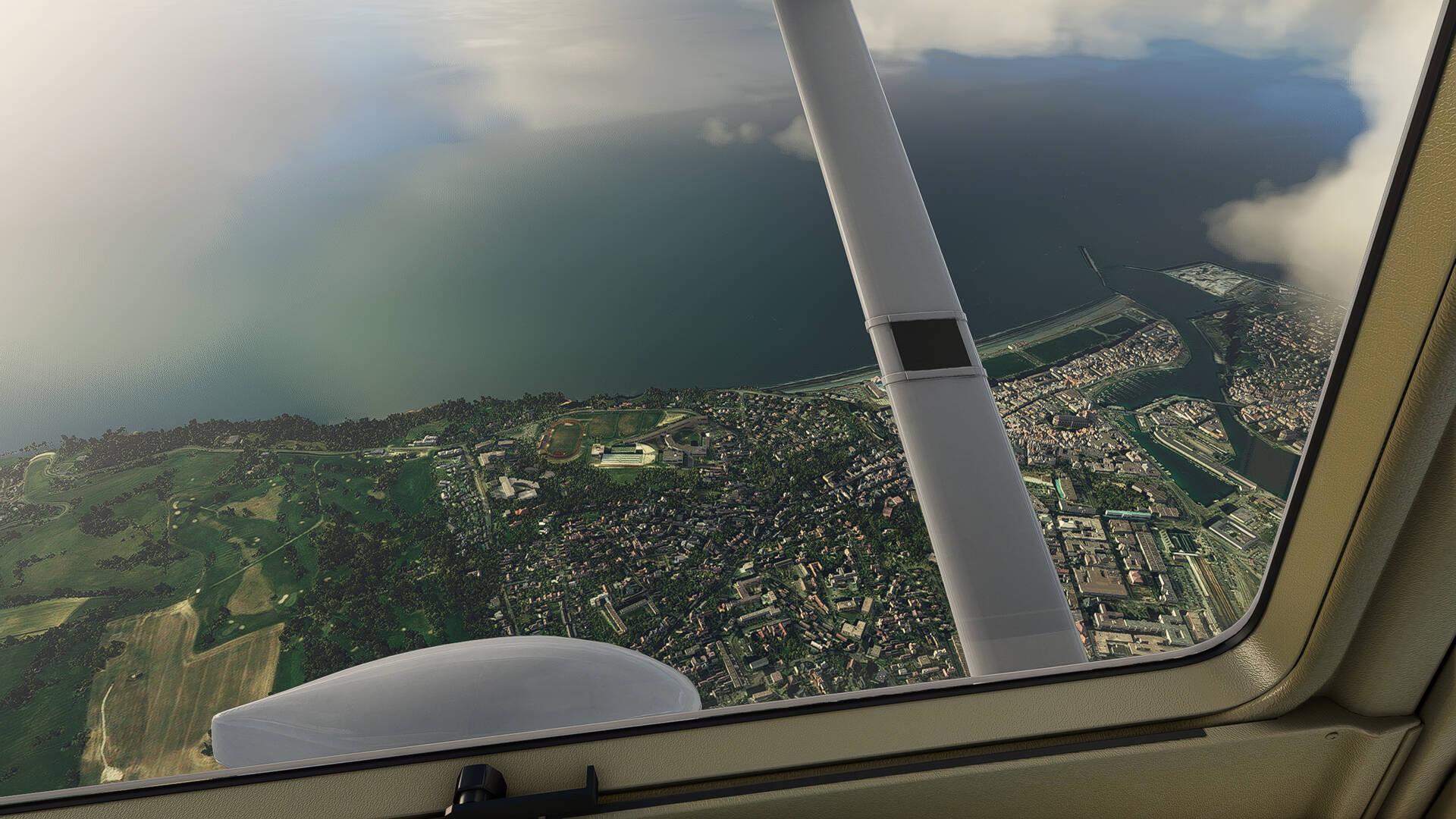
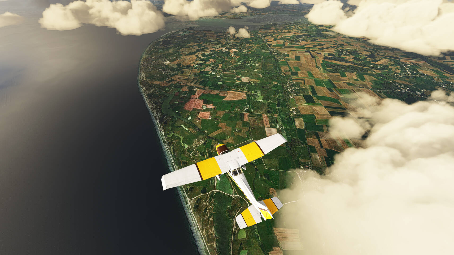
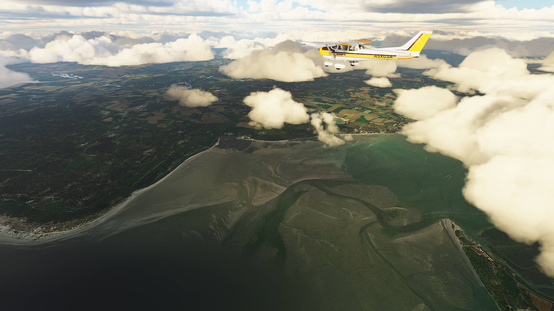
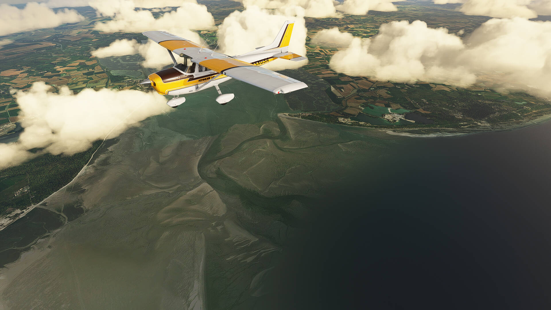
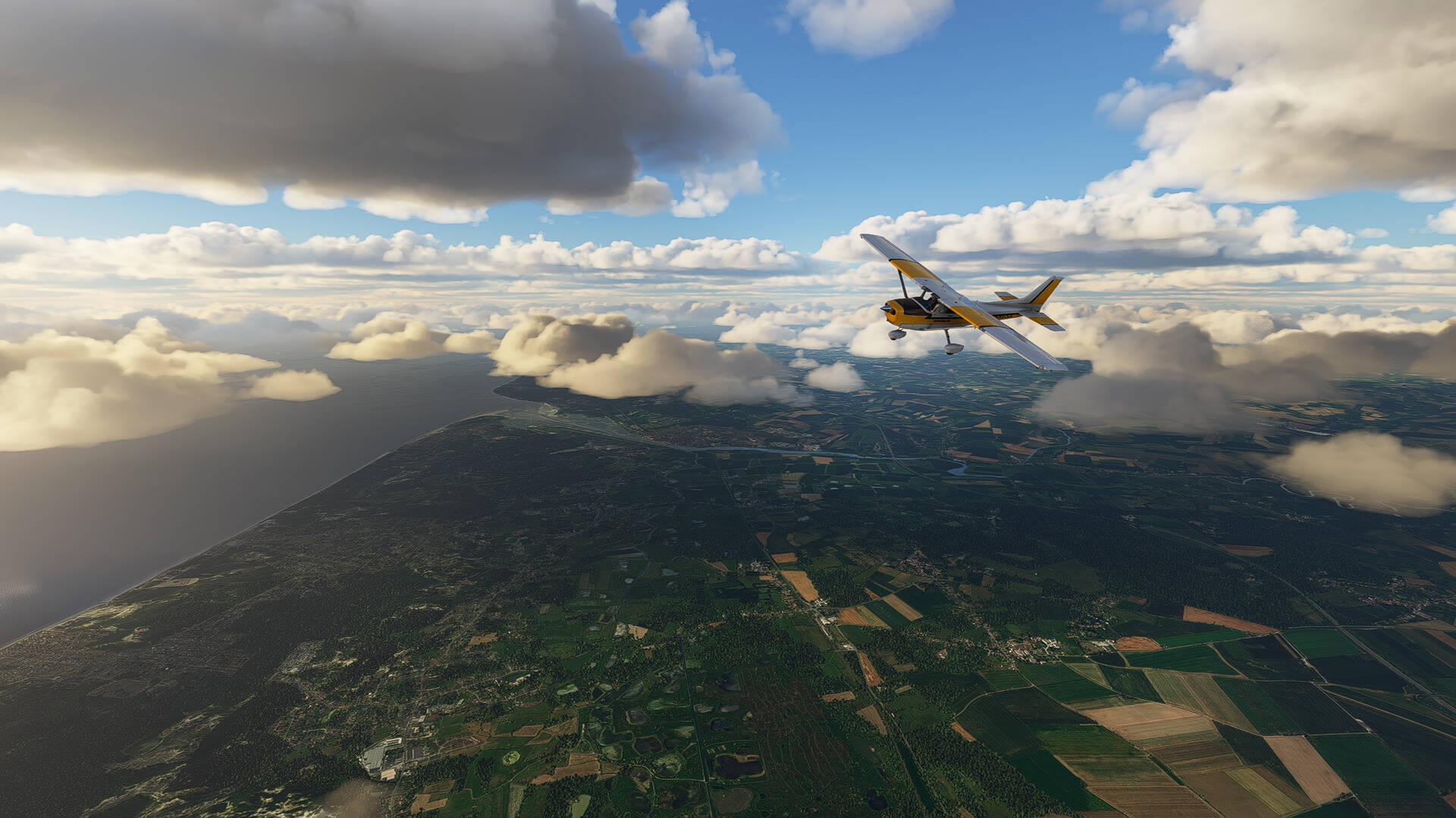
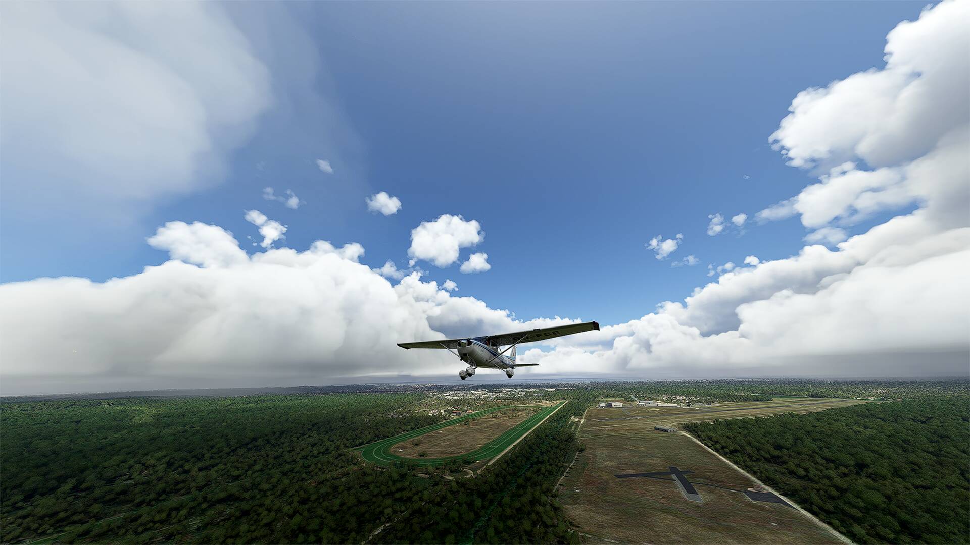
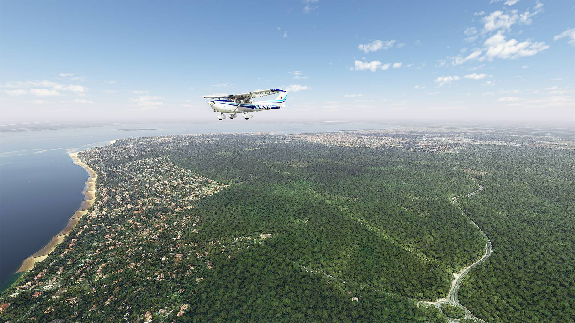
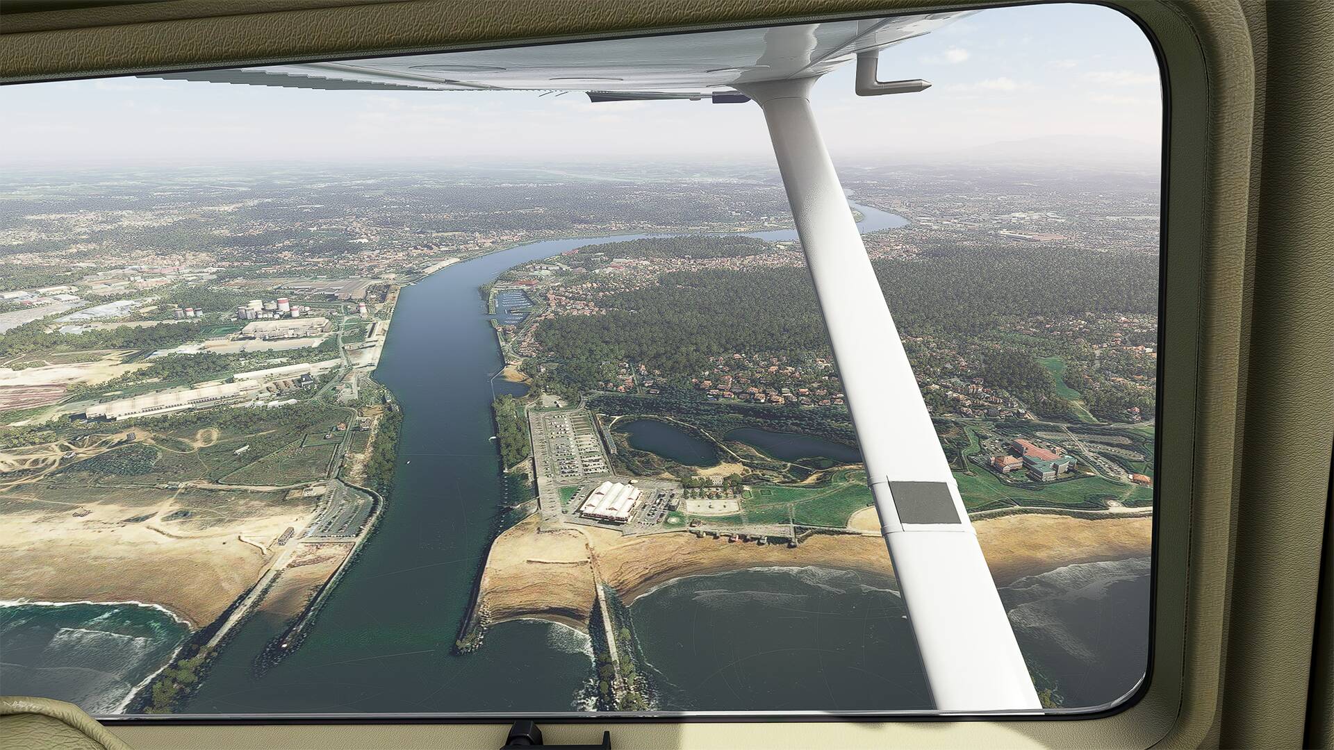
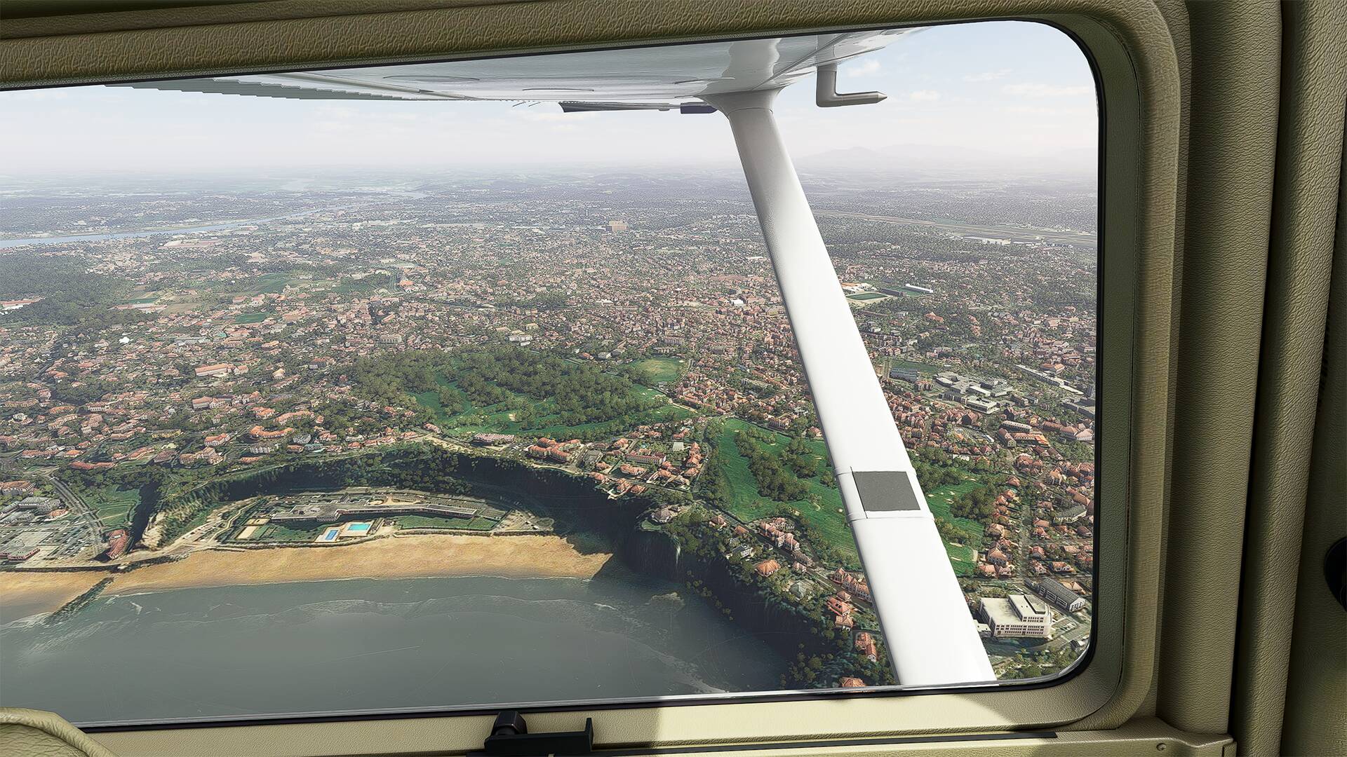
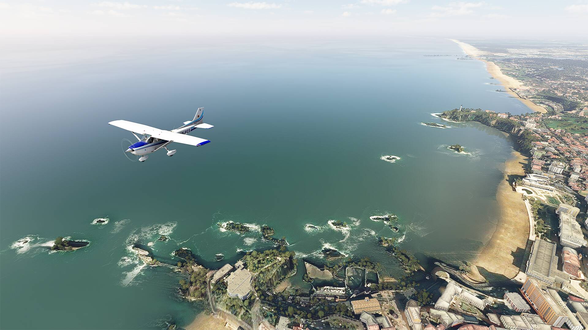
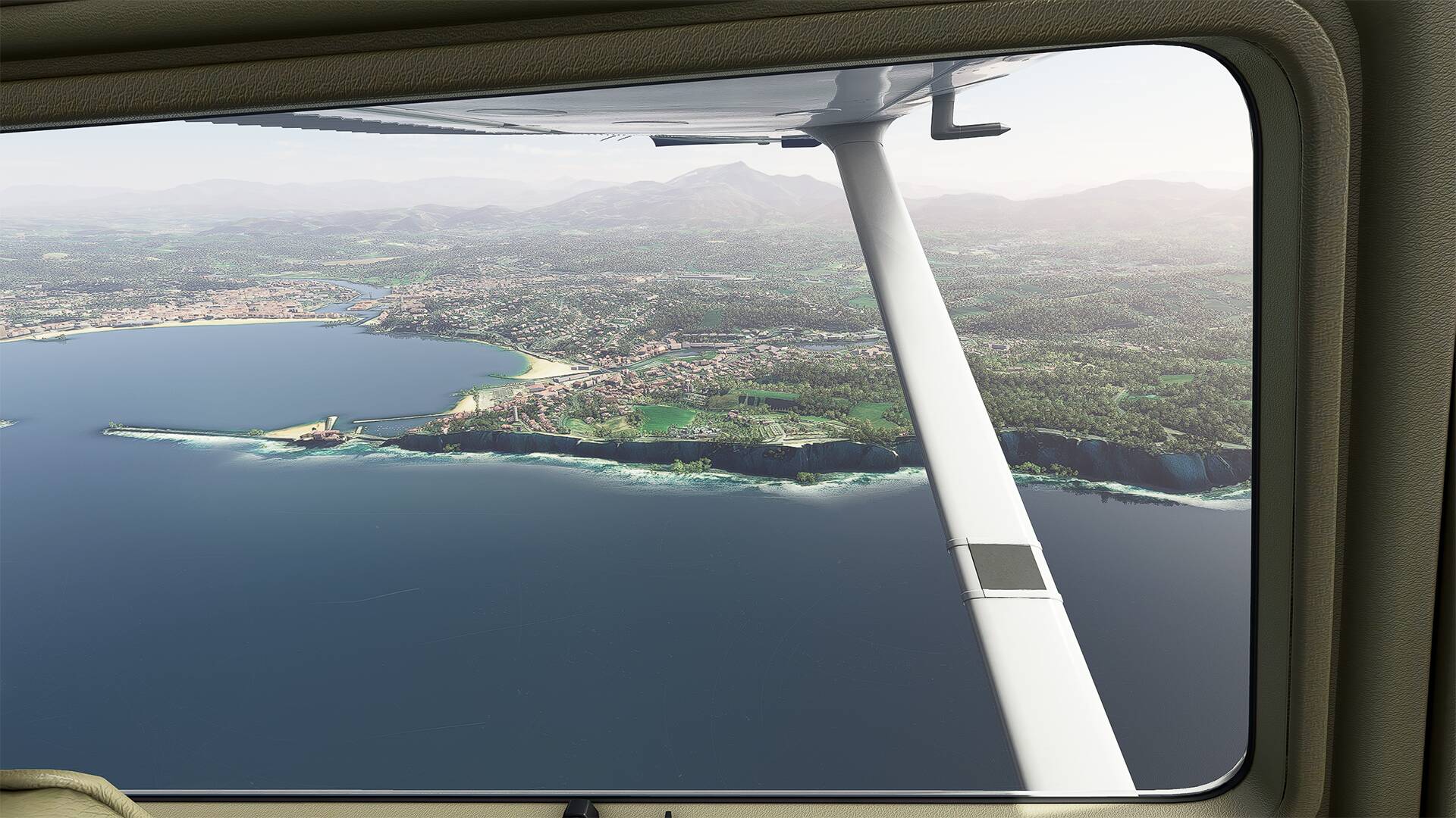
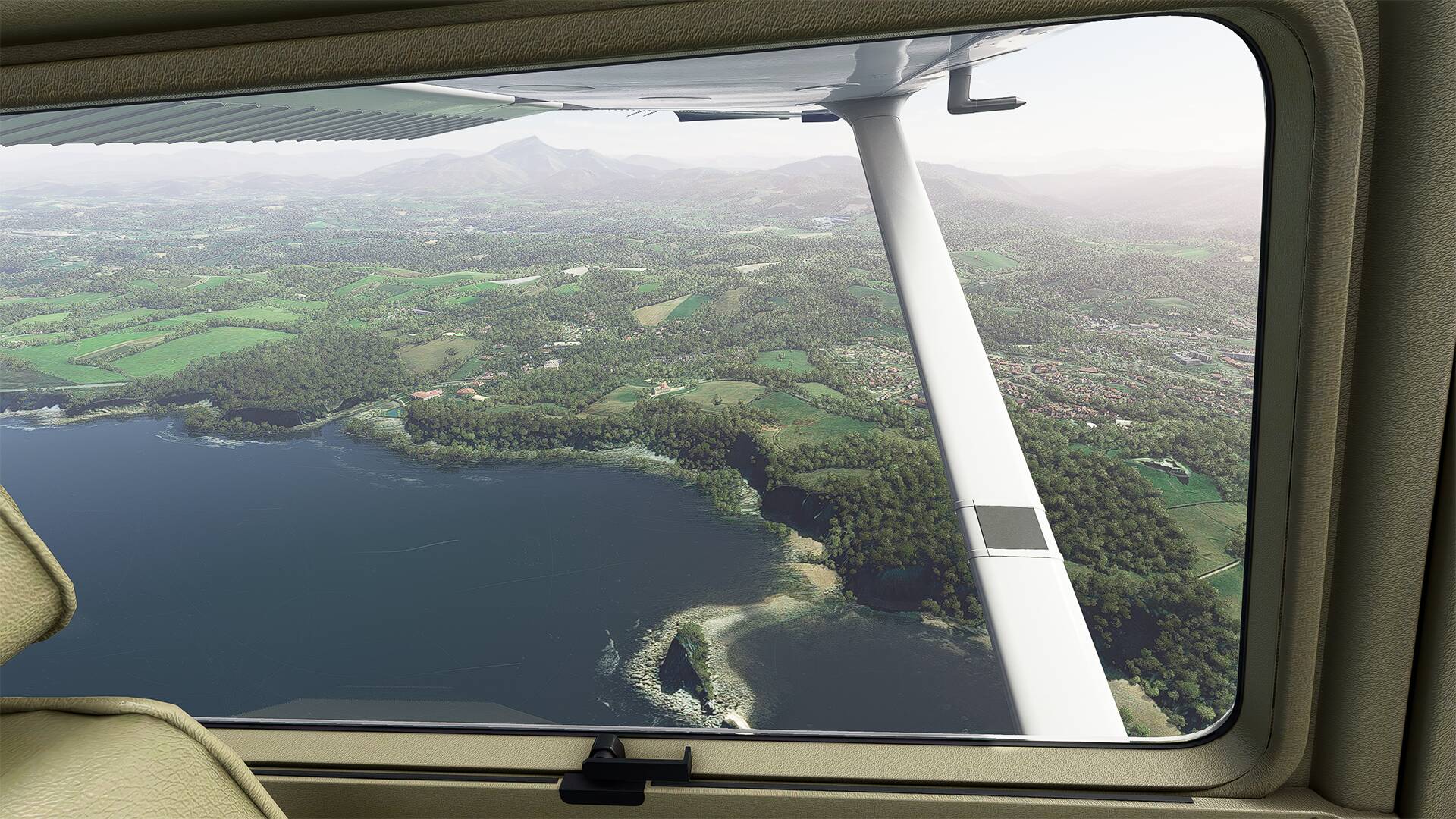
I made a small flight in my region of origin which is the South of France, between Montpellier (LFMT) and Saint Tropez (LFTZ), I spent the major part of my life there and since the last update of microsoft for FS2020, the landscapes are splendid, I recognized all the landscapes, the district and my houses where I lived and all that with an excellent level of details, it is impressive.

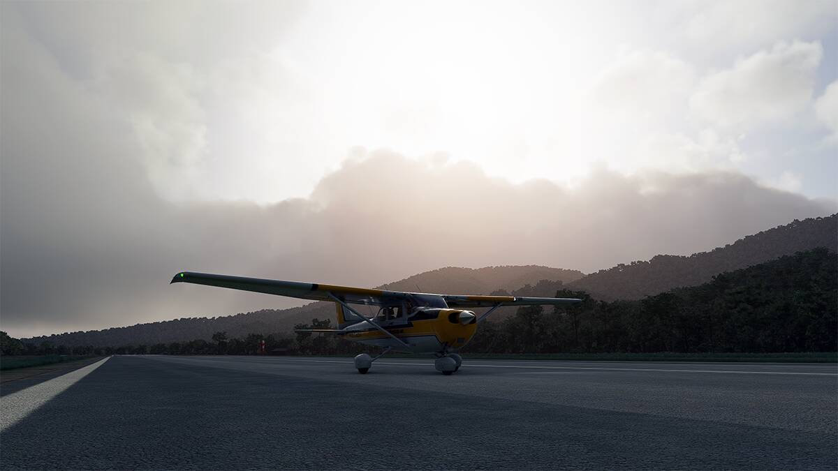
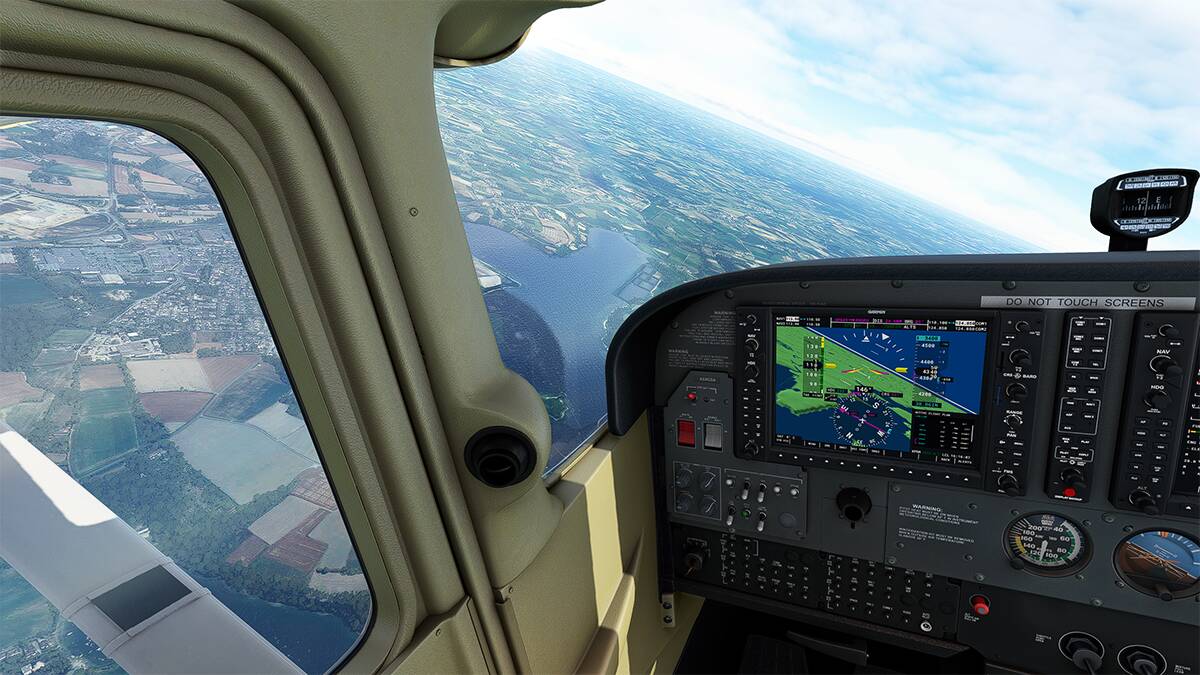
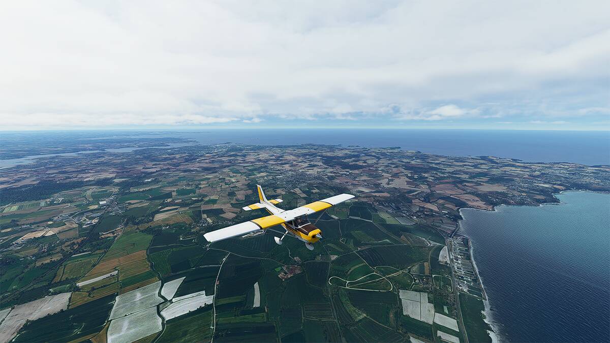
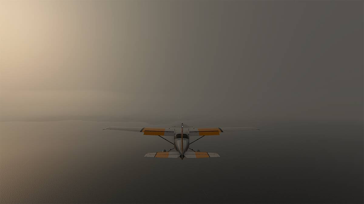
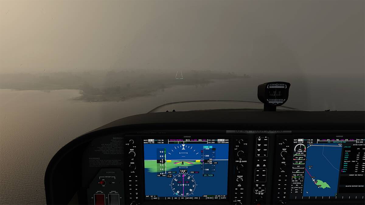
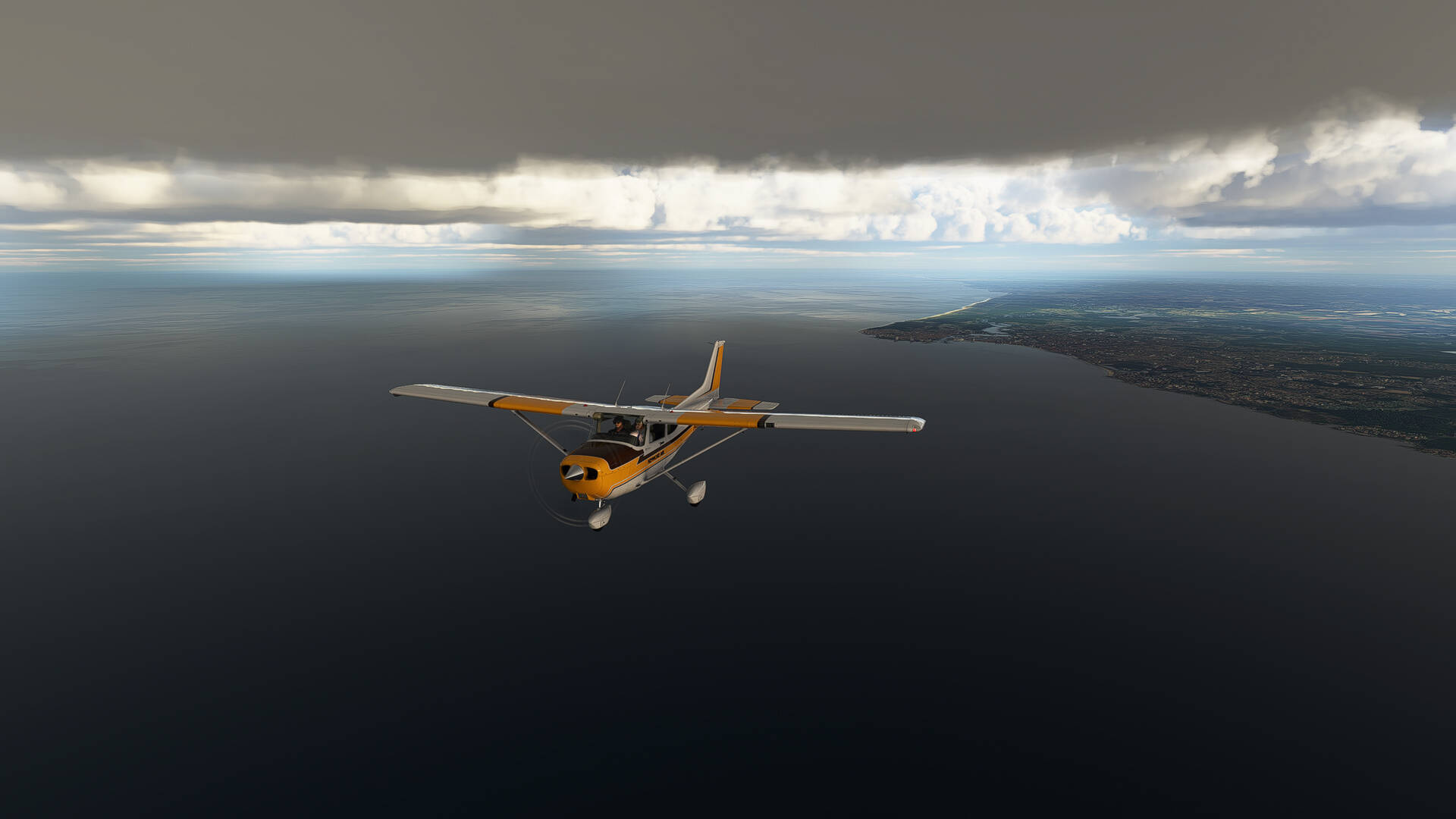
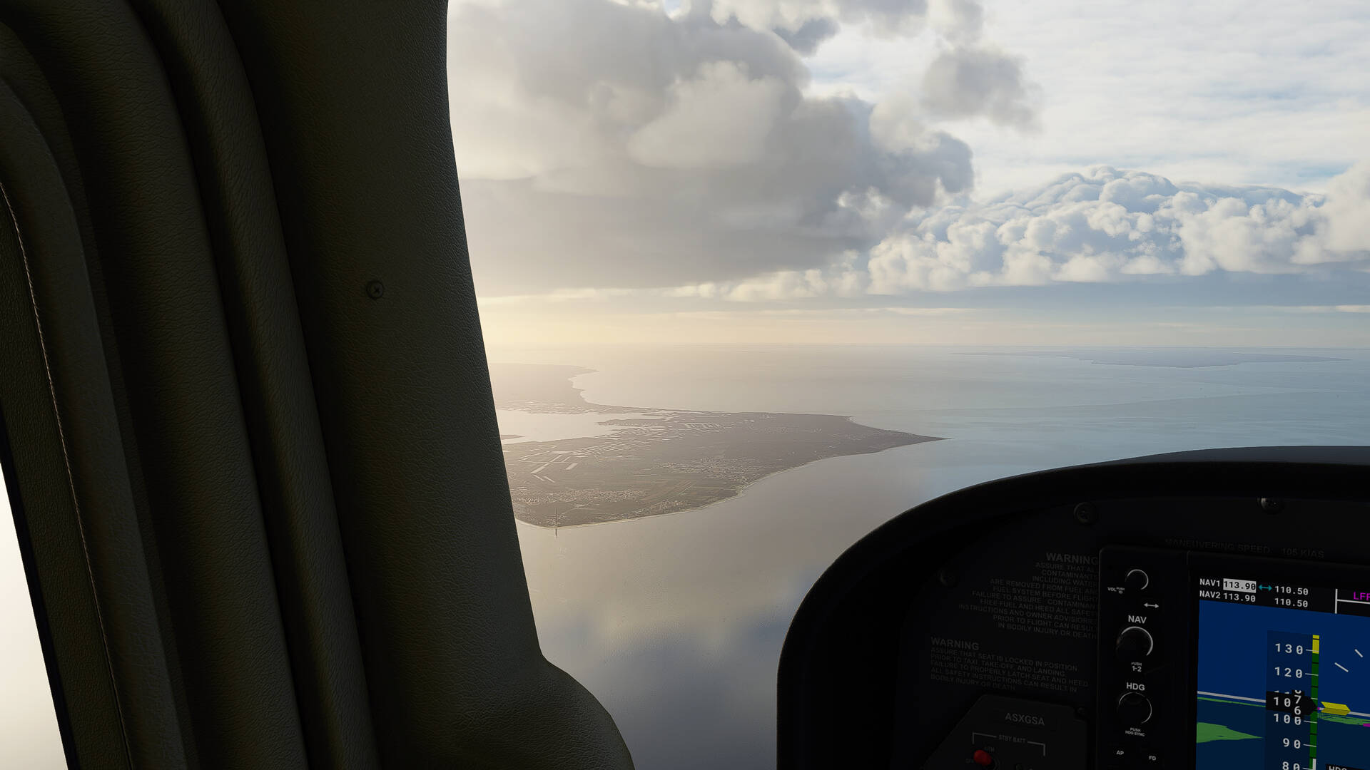
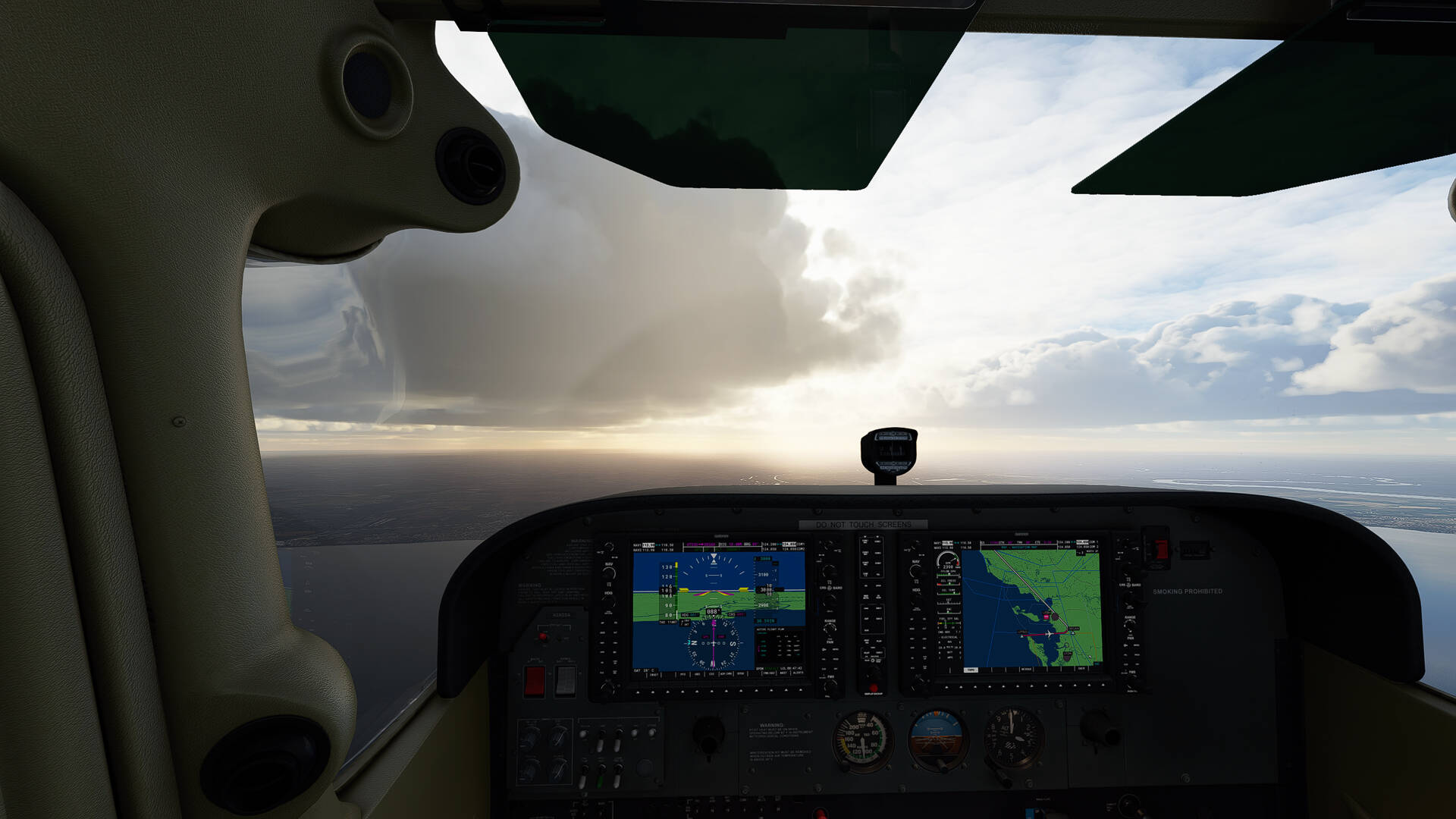
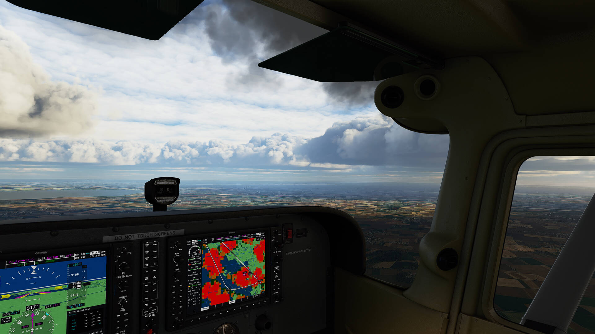
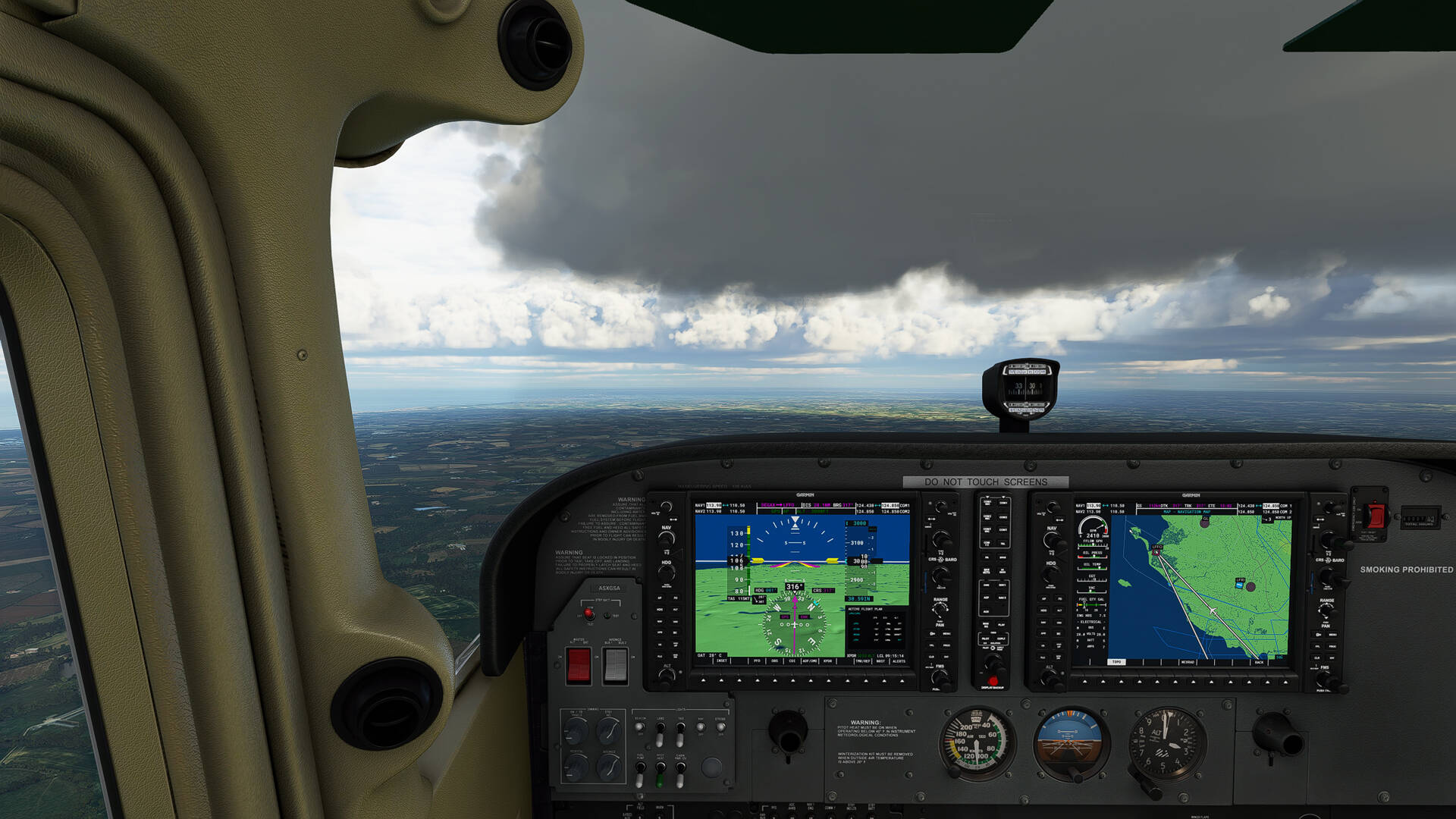
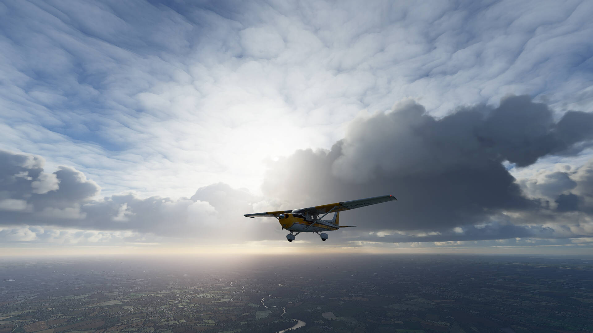
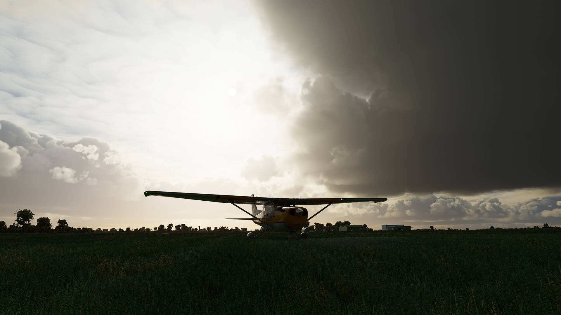
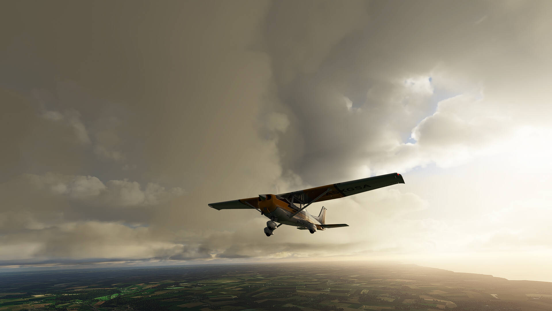
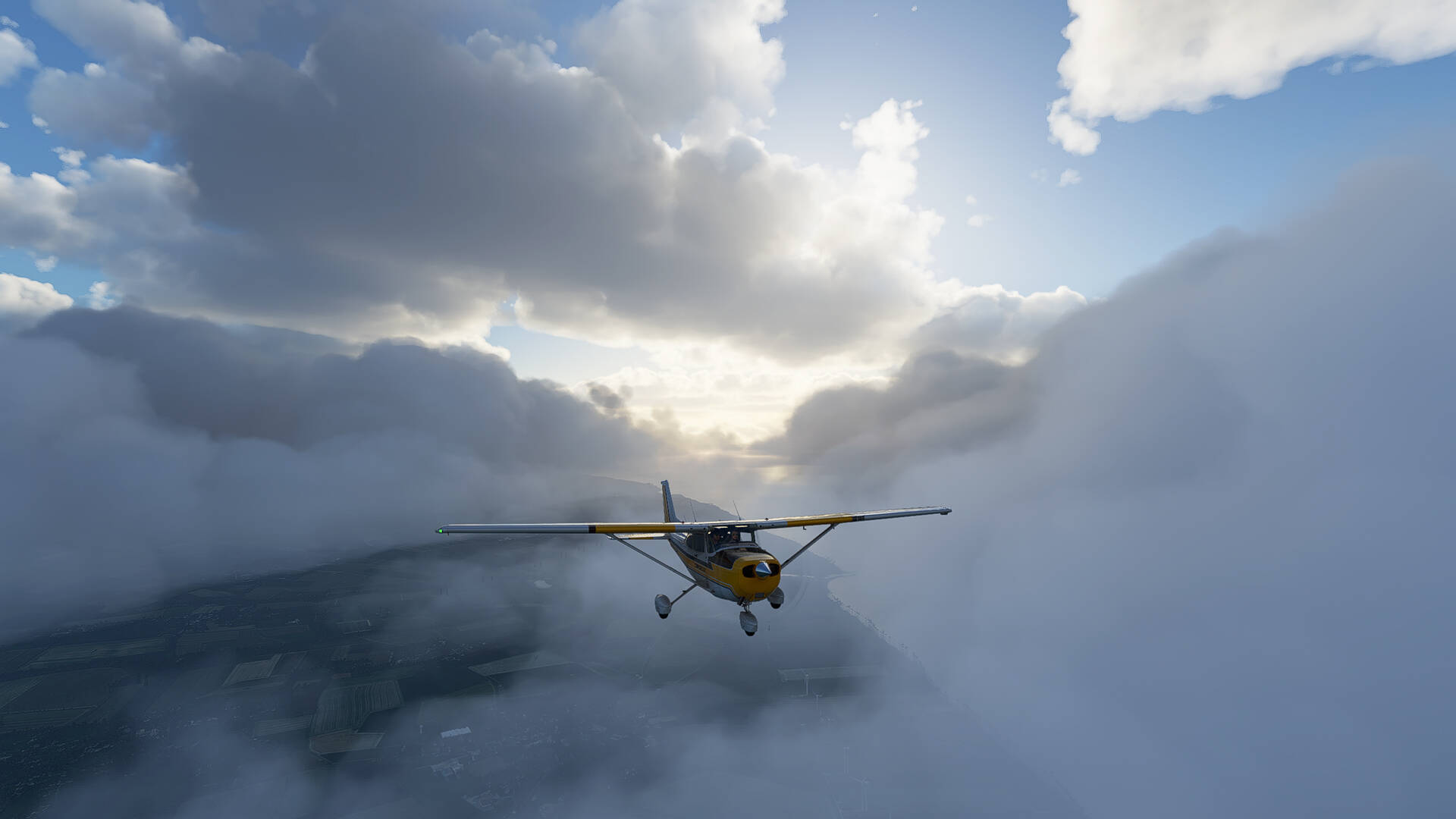
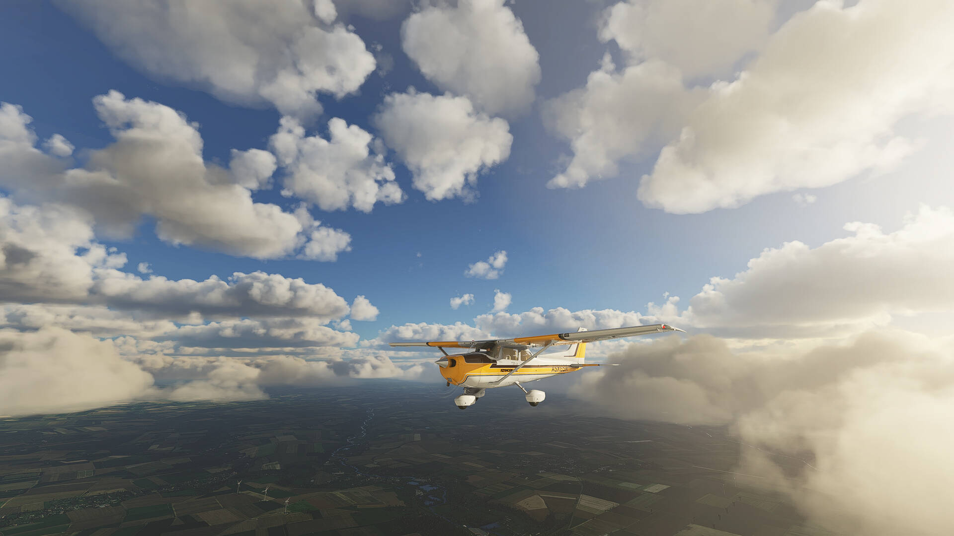
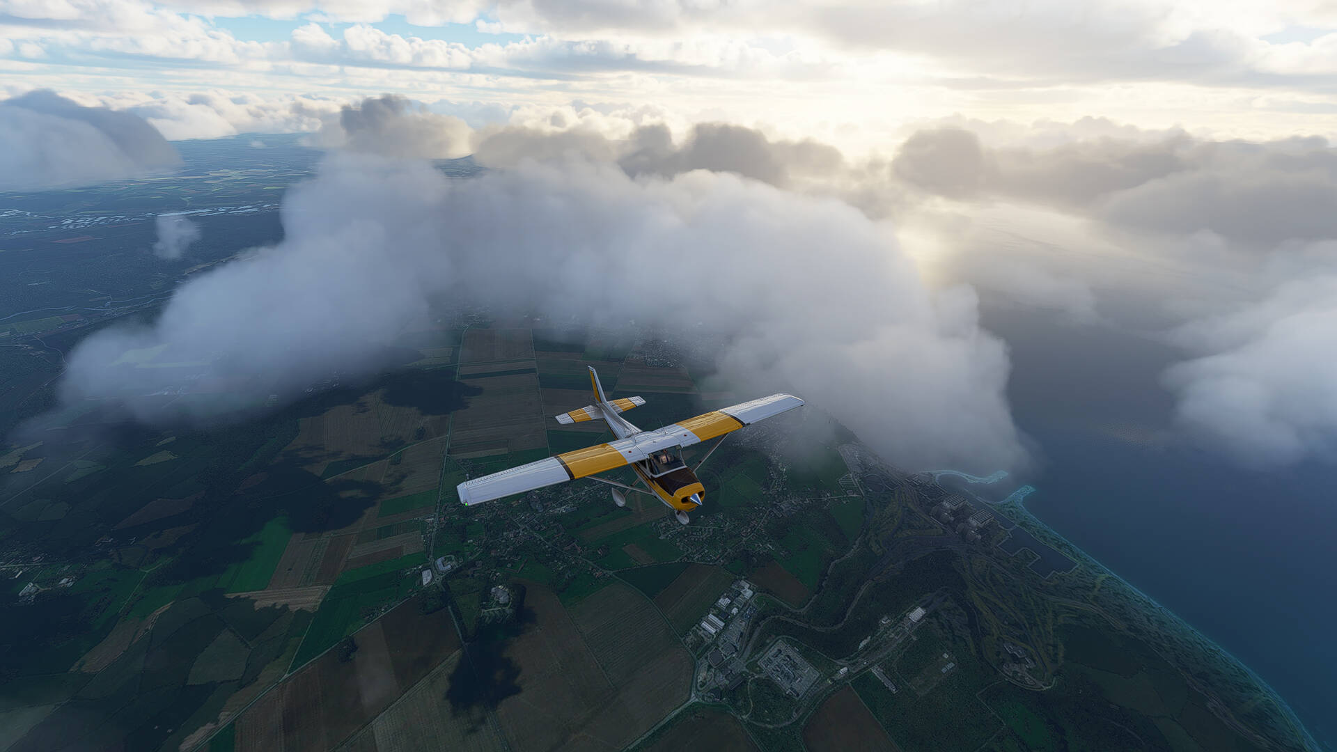
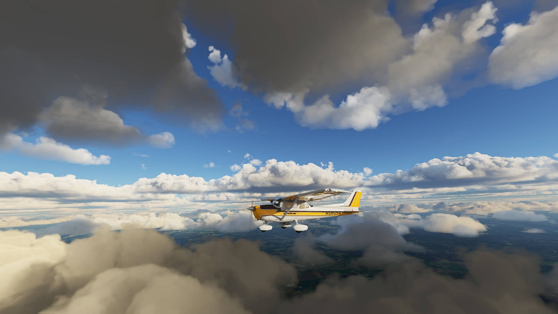
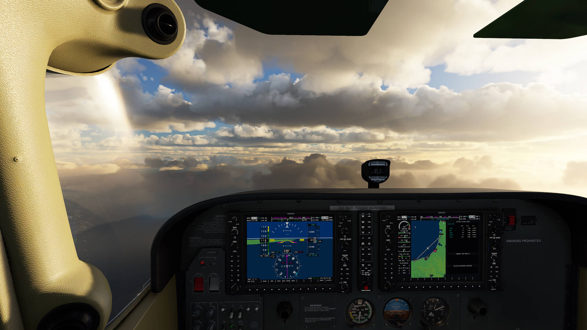
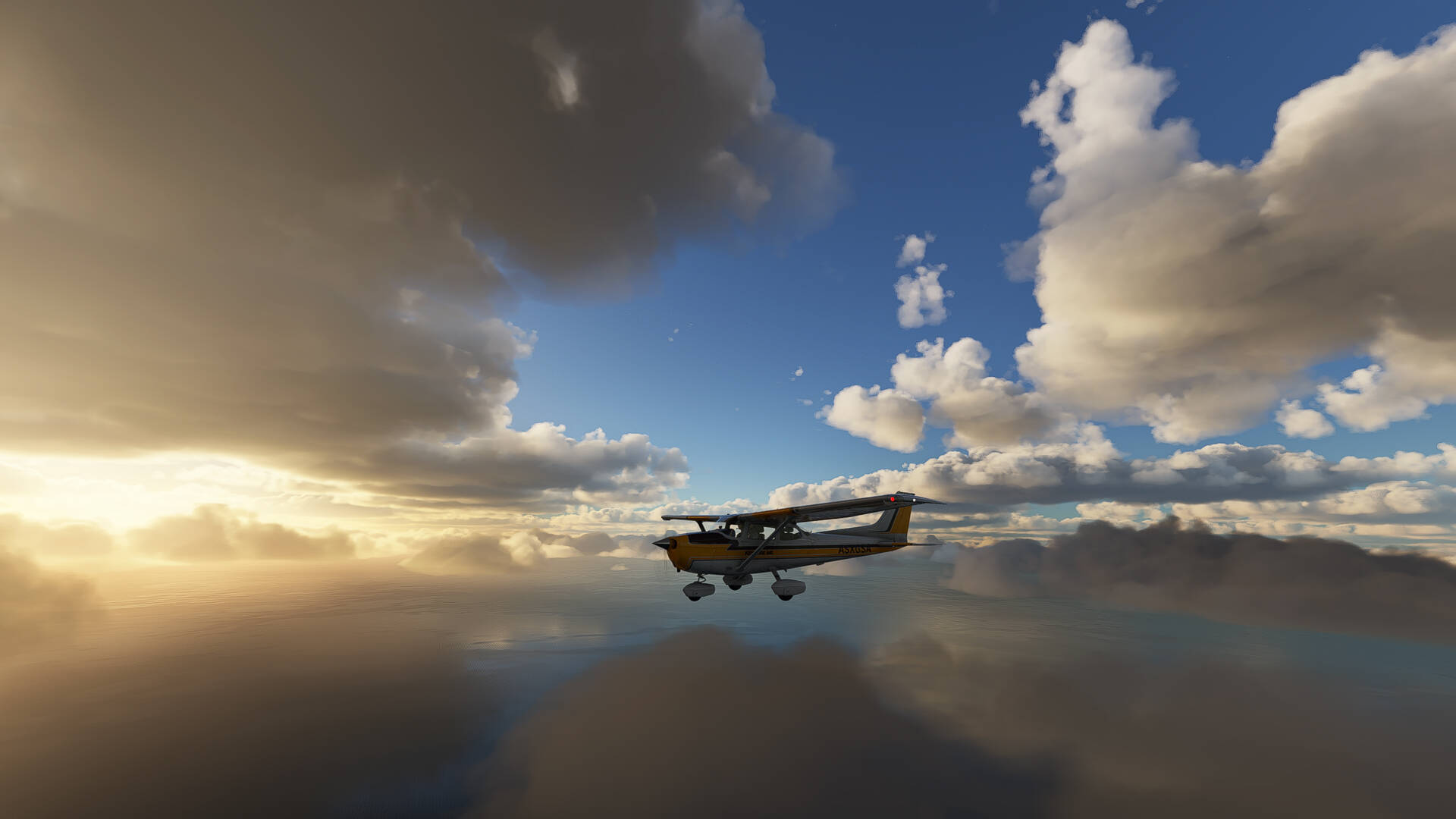
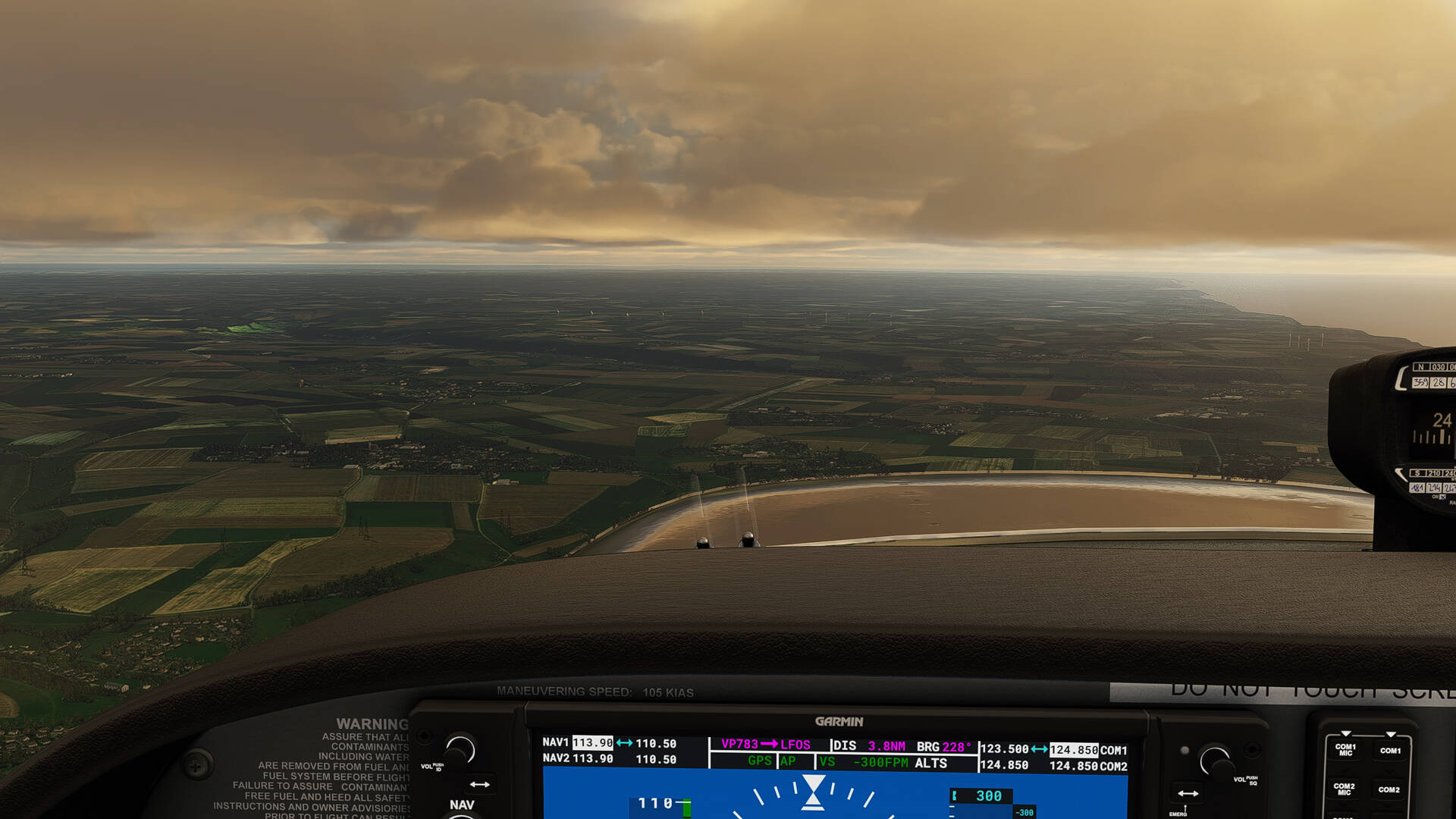
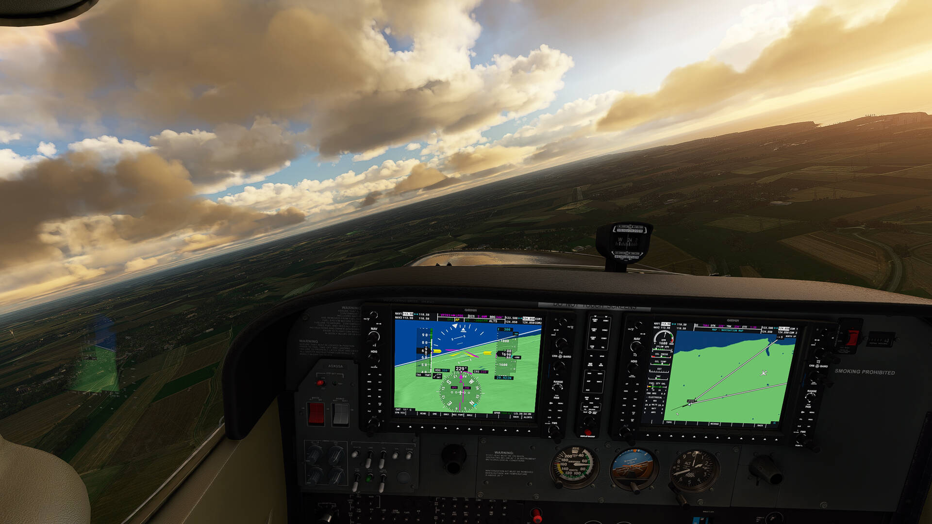
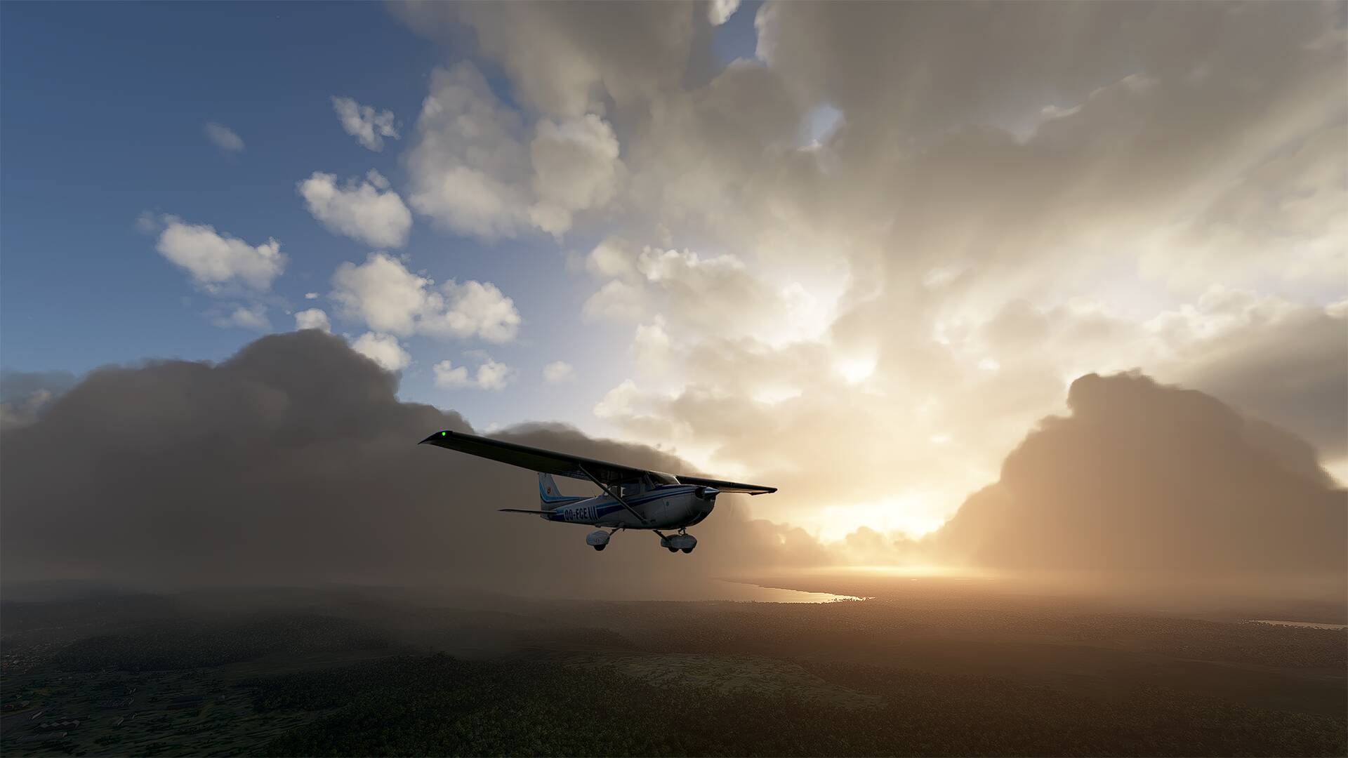
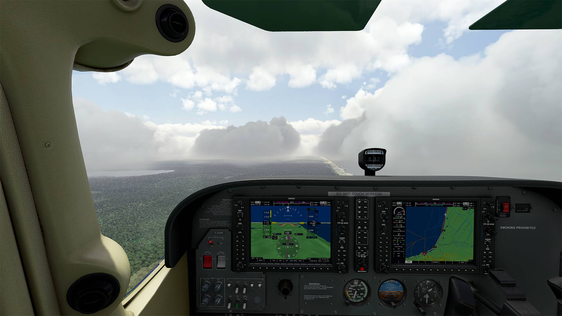
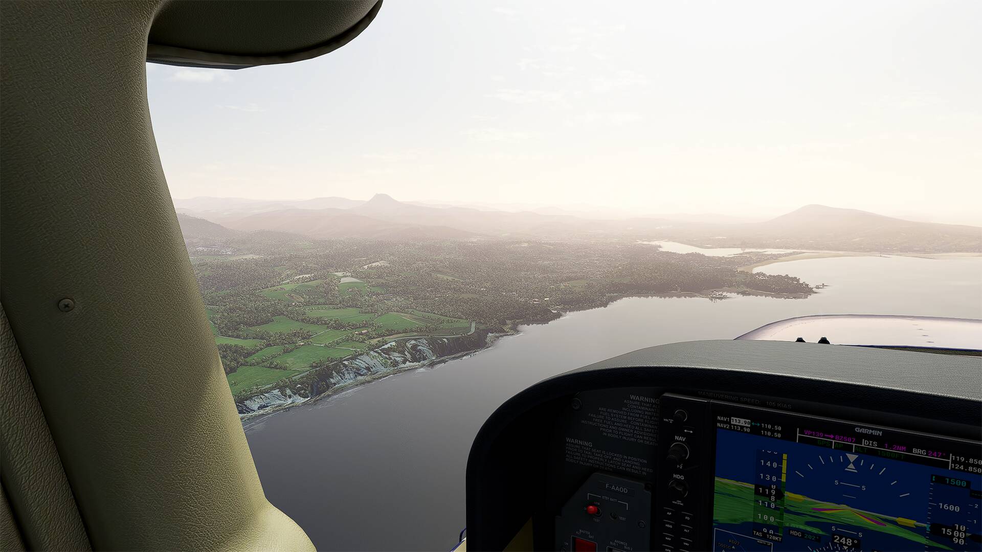
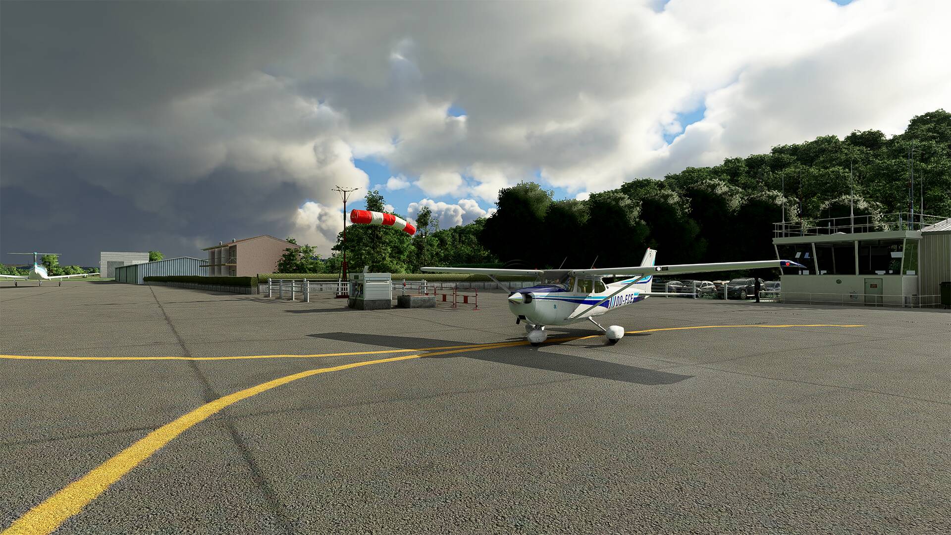
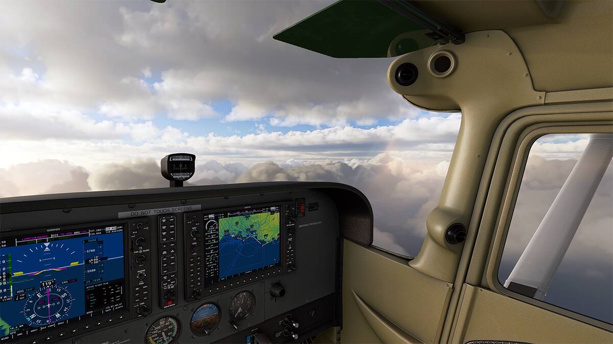
Departure with rain from Montpellier airport (LFMT) at 7:30 am, sun in front during the trip and very cloudy (I chose a preset from SoFly Weather Preset Pro - Orbx), cruise at 7500 feet between 2 layers of clouds, beautiful sky with the sun in the clouds.

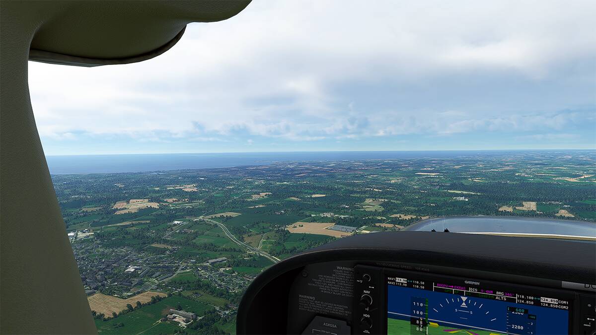
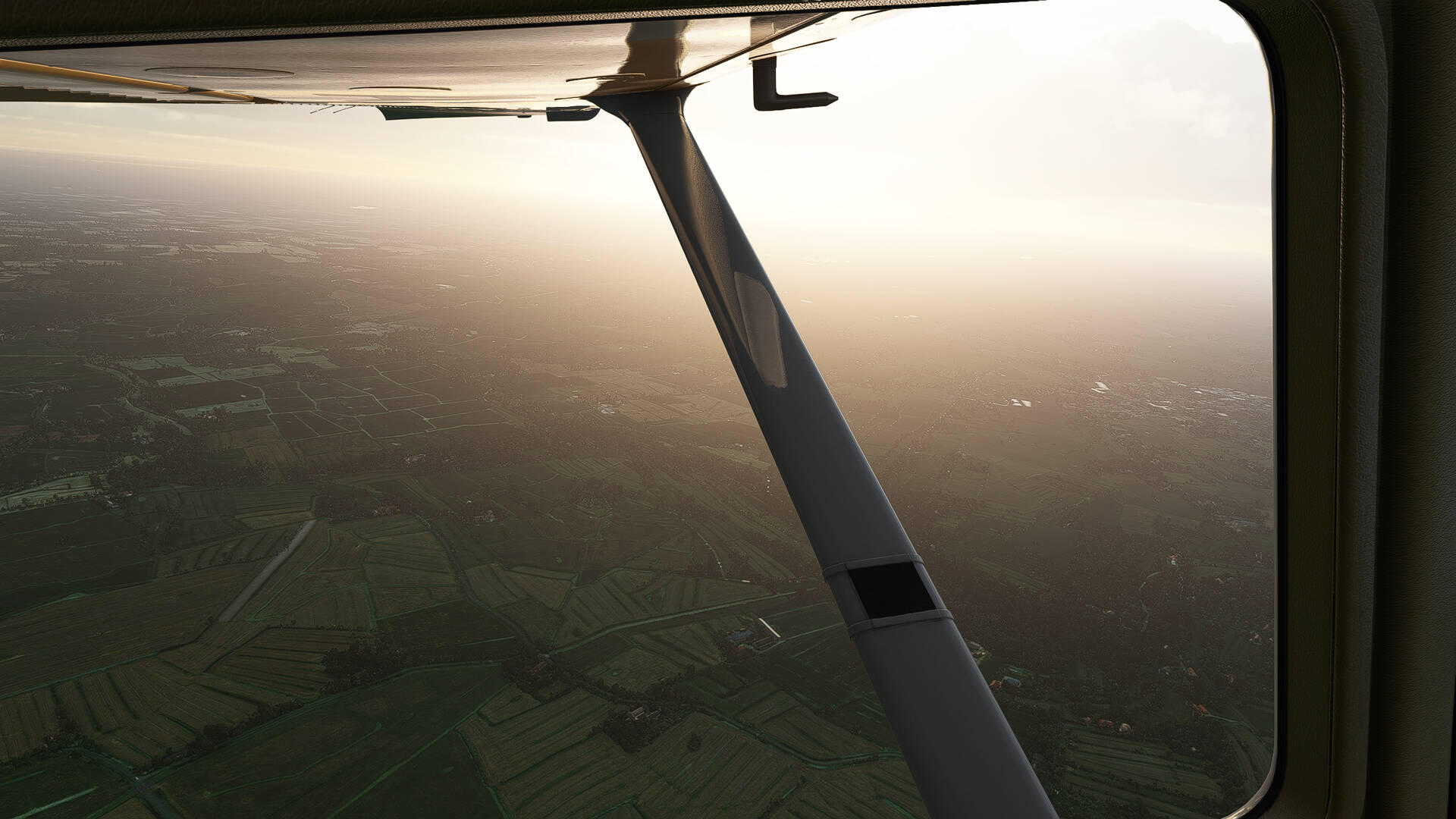
I had the rising sun in front of me during the flight

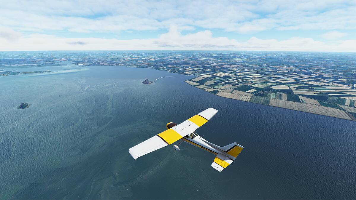
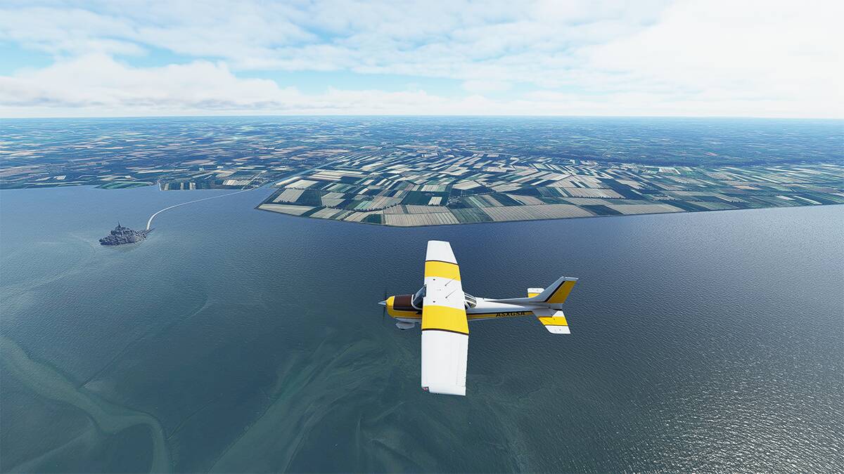
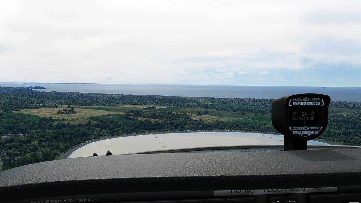
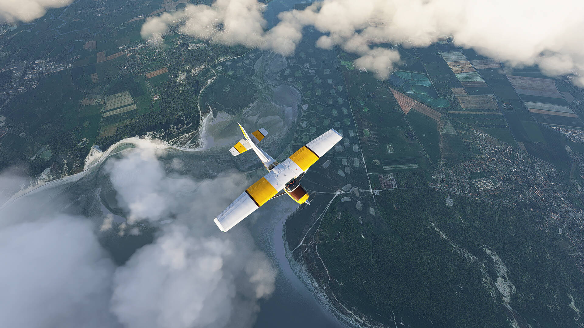
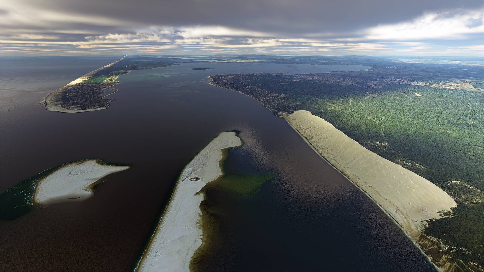
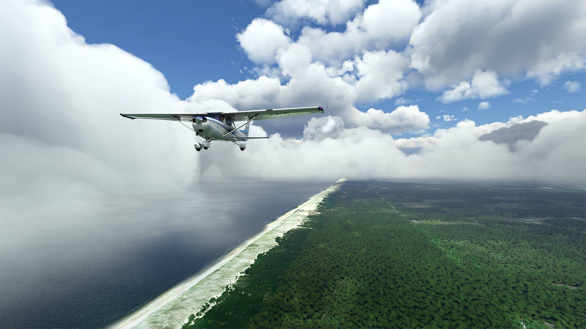
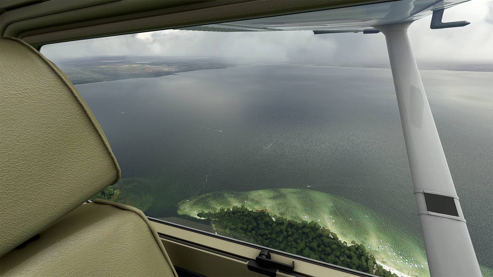
The Camargue is just beautifully rendered.

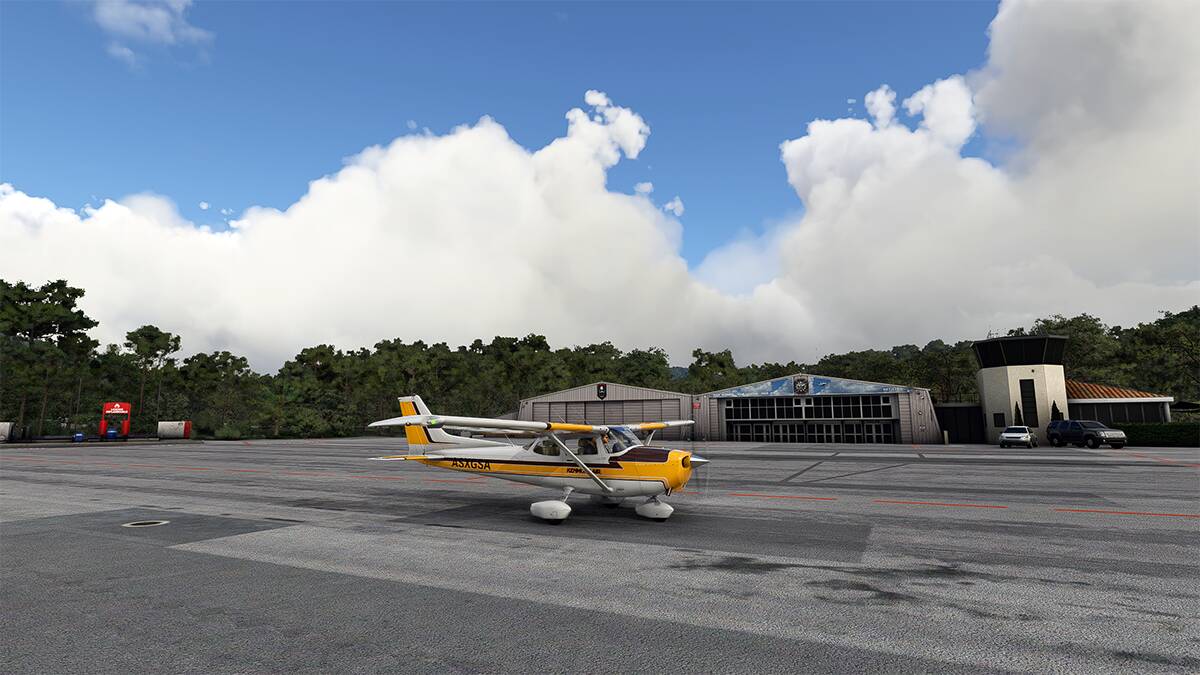
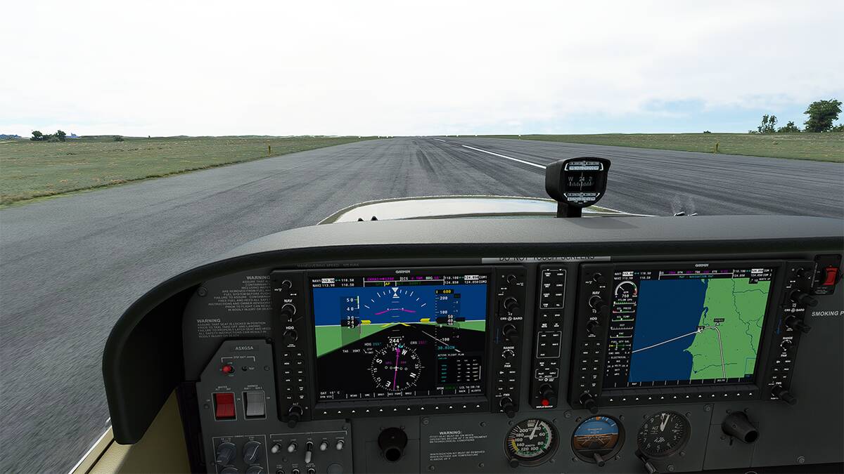
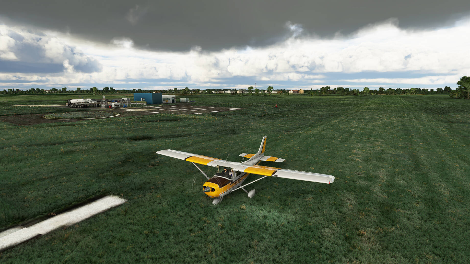
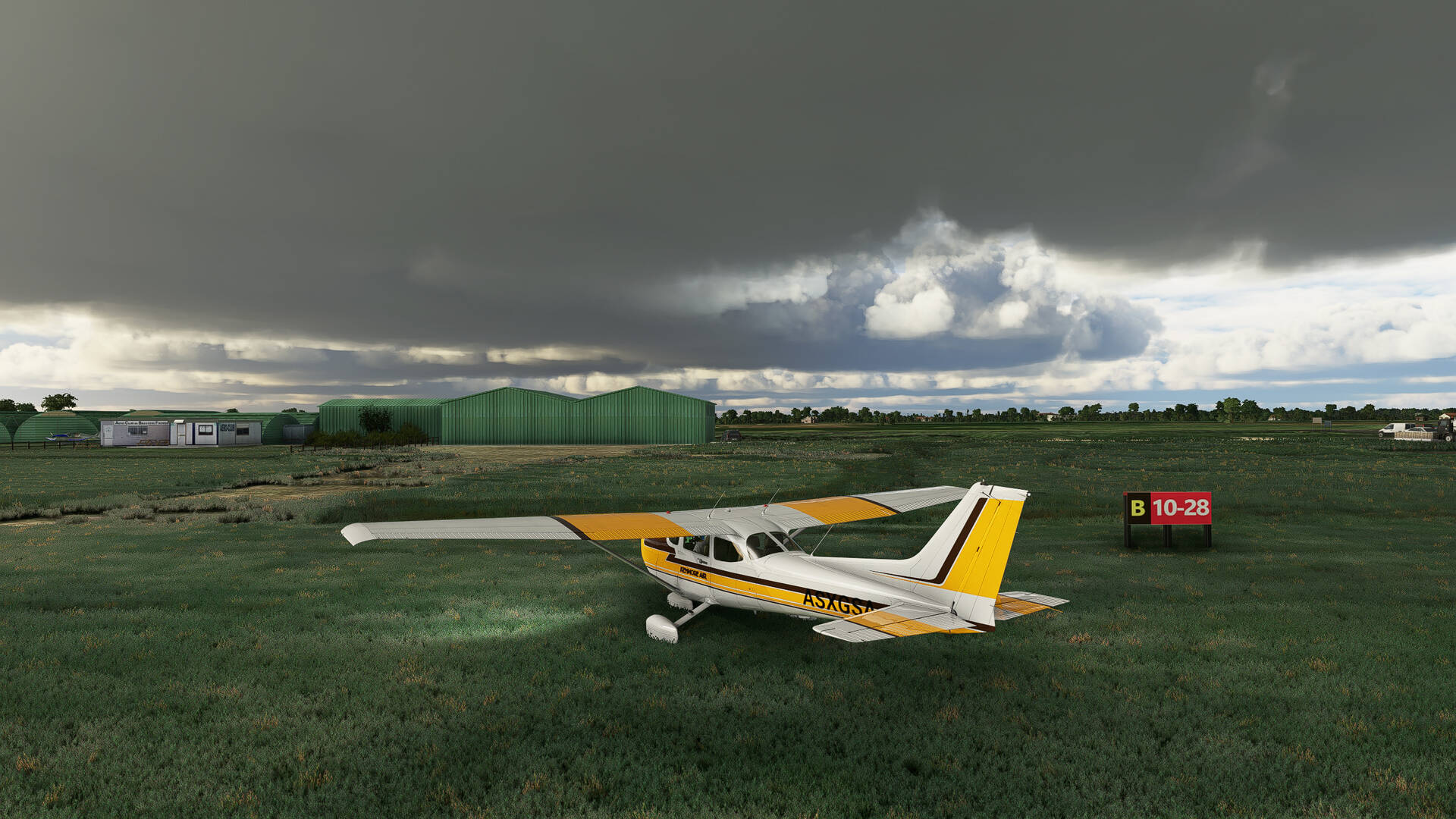
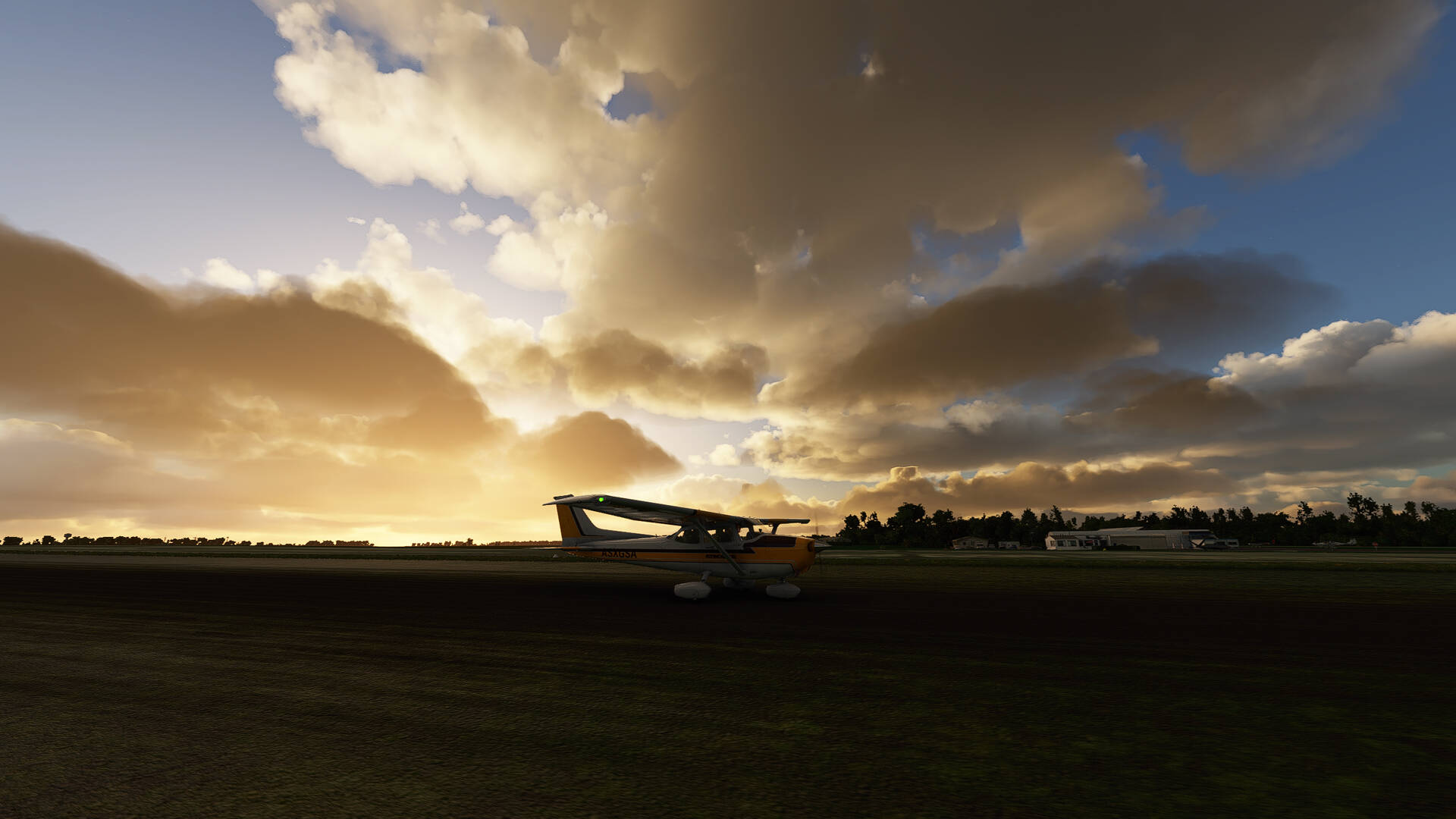
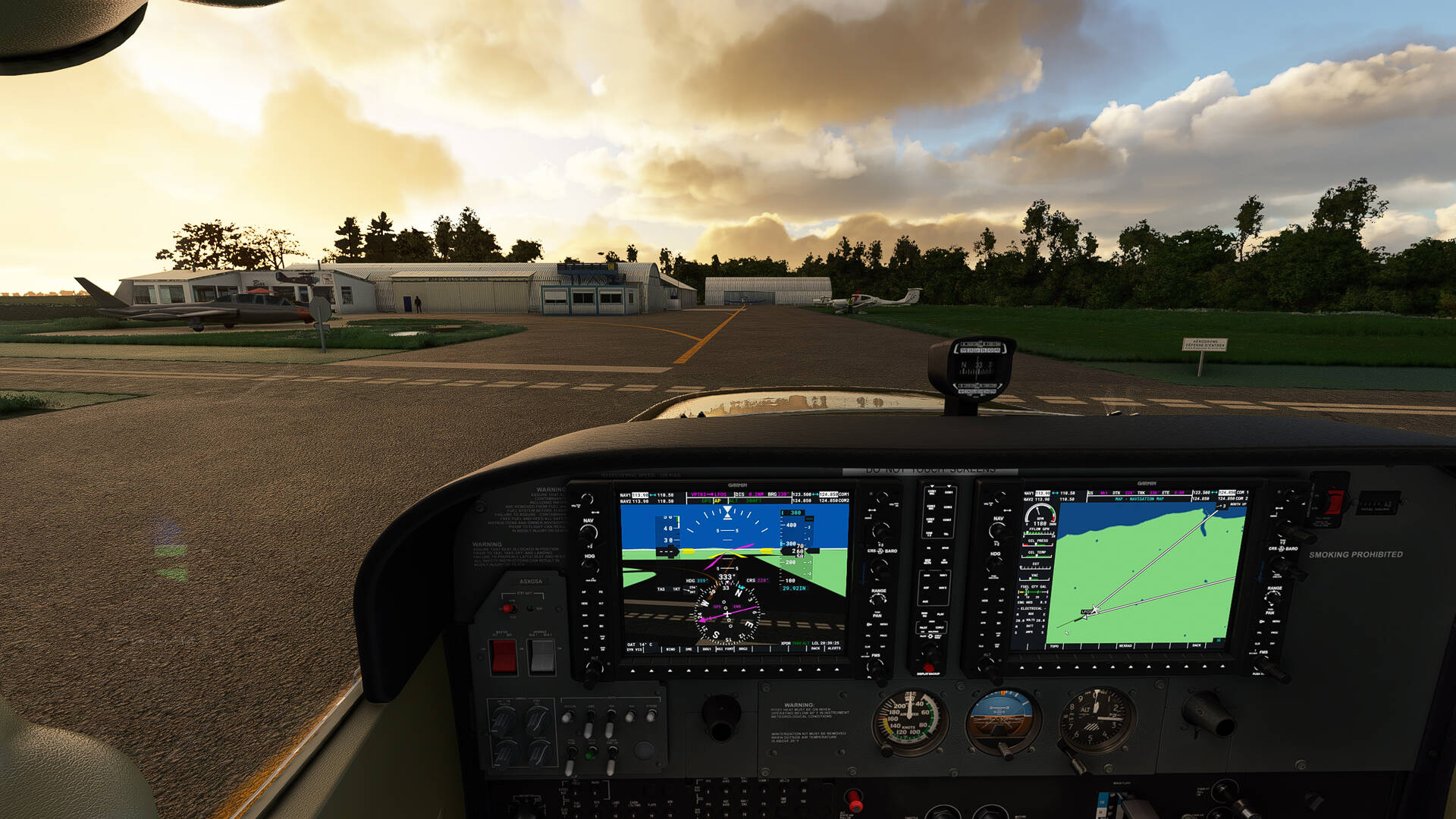
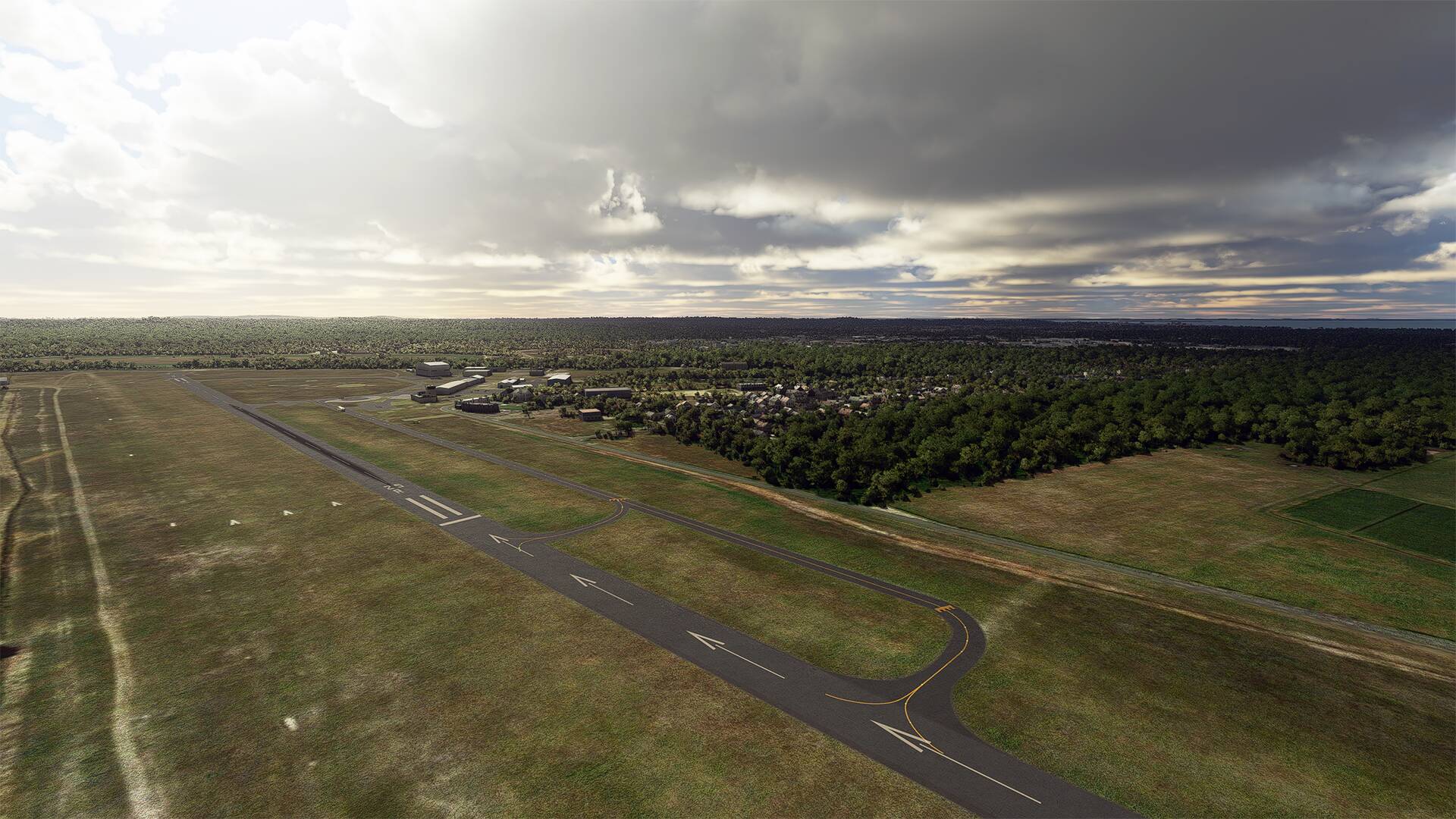
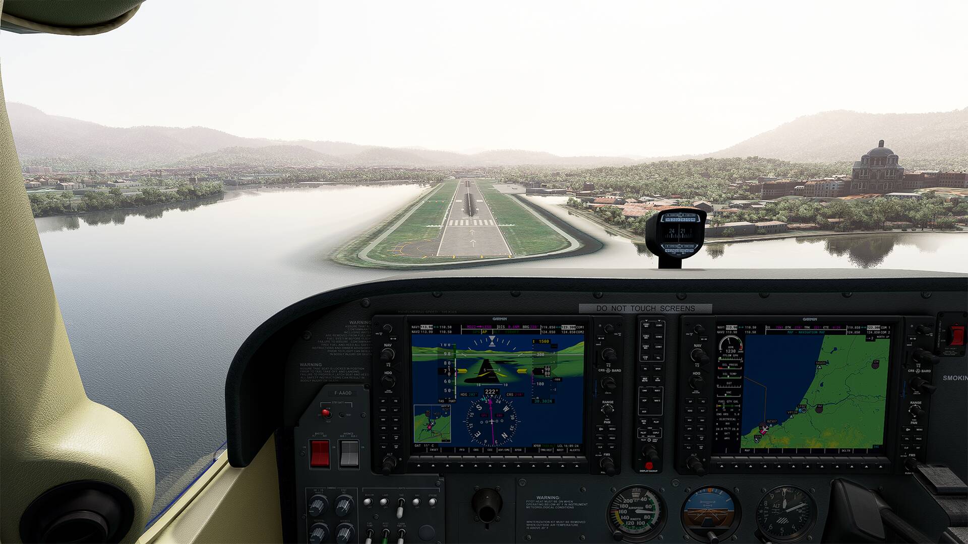
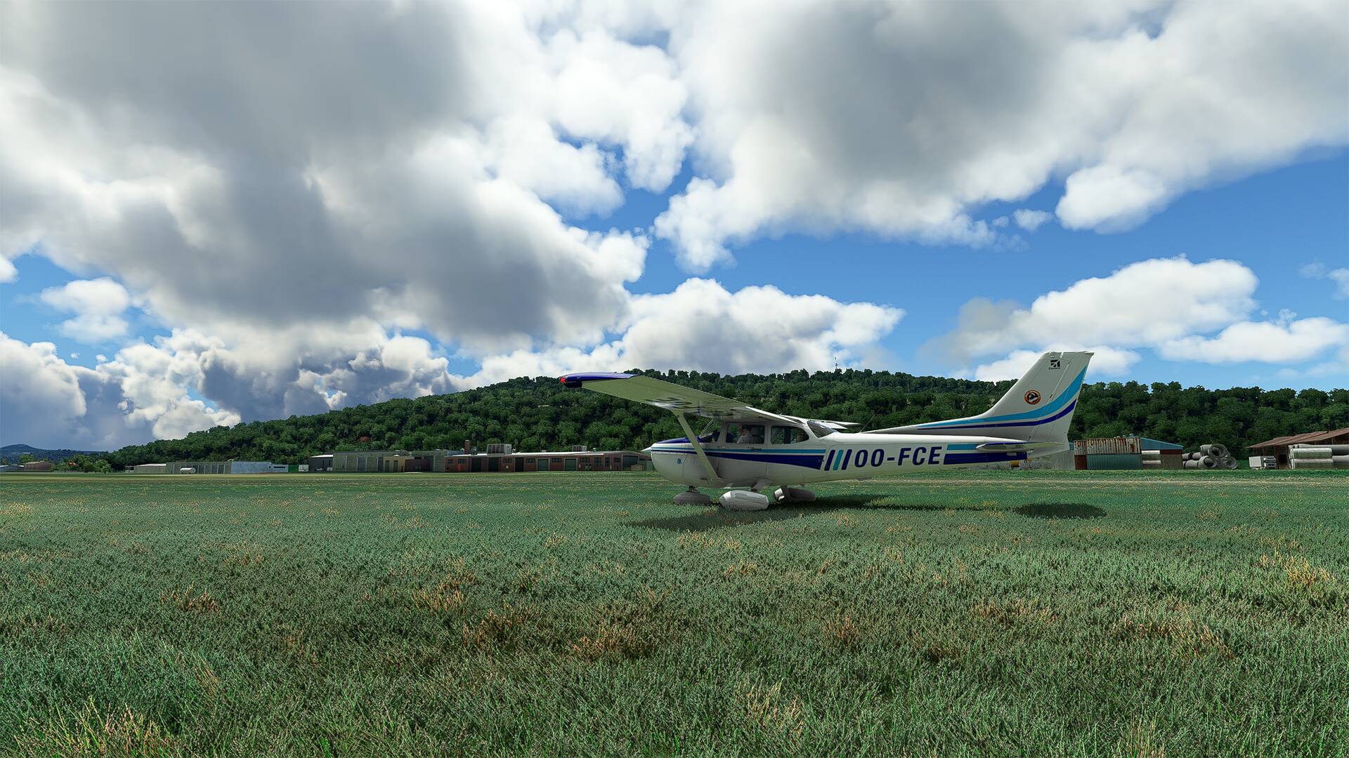
Aerodrome de La Mole (LFTZ)

8 Likes

LFRF >>>> LFRF

Back to my family’s ancestral region which dates back to the French Revolution (before that we have no documents) with a departure from ‘‘l’Aérodrome de Granville’’ in the direction of the city of Saint-Malo and which makes us go along ‘‘Les Iles Chausey’’

The Chausey Islands are behind us and we turn left towards… the Remparts of Saint-Malo, the Grand-Bé, etc… everything is there.

While moving away from the city of Saint Malo, we see the dam and the tidal factory EDF of ‘‘La Rance’’.

Direction the Mont-Saint-Michel and it is the high tide.

I am overhead of the Aerodrome of ‘‘Avranches le Val-Saint-Père’’, and take the direction of Granville.

We can see the village of Vains and on the left of the picture the Aerodrome of ‘‘Avranches le Val-Saint-Père’’.

The Granville airfield is a little further away

The village of Sartilly, we can see La Marandière, the carpenter’s workshop GOUELLE S.A.S., the sewing workshop, etc…

Last turn and it is the landing.

I deactivate the Autopilot and I take the hand in the last straight line

A nice walk that I would do again at a more early hour and with a less clement weather for fun.

See you soon

7 Likes

LFRS >>>> LFEY

Last night I flew from LFRS - Nantes Atlantique Airport to LFEY - L’Île-d’Yeu Aerodrome with a detour to LFRE - La Baule Airport

With a SoFly Weather Preset Pro - Orbx for the weather, and zero visibility with rain, and ice from 6900 feet and -5 degrees, I quickly descended to around 3200 feet so that the ice would melt and not crush me.

Nothing to see outside but nice flight in RNAV and a safe approach despite the weather

Rain… ice… a crappy weather… impossible in real life I guess but I liked it :grinning:

I start the approach to the airfield and get the G/S (Glide/Slope)

We begin to distinguish the island

I leave the RNAV approach as late as possible before taking the controls in manual

Not unhappy to have arrived

2 Likes

LFFO >>>> LFFO

Today, it’s a cloudy and dark day.

I’m taking off from ‘‘l’Aéroclub Beauvoir Fromentine’’ early in the morning with stormy sky, the weather is hot and humid.

SoFly Weather Preset Pro - (Preset WPP - Hot and Humid)

I activate the AutoPilot and I enjoy the landscape of the French Atlantic Coast and here is my route of about 90 minutes of flight.

We can see ‘‘La Plage des Demoiselles’’ and the village of ‘‘Saint-Jean-de-Monts’’ at the end of the right wing.

The city of ‘‘Saint-Hilaire-de-Riez’’ and at the bottom right of the picture ‘‘la Plage des BECS’’.

The city of ‘‘Bretignolles-sur-Mer’’ and ‘‘la Plage des granges’’.

On our left ‘‘Les Marais D’Olonne’’.

We move away from the city ‘‘Les Sables-d’Olonne’’ and from ‘‘la Plage de Sauveterre’’ lit by the sun rays.

Straight ahead in direction of ‘‘l’Île d’Oléron’’ and its ‘‘Phare de Chassiron’’ and left turn above the ‘‘phare de Chassiron’’.

The ‘‘Grande Plage de Châtelaillon’’ and the city of ‘‘Châtelaillon’’ below us.

A last left turn and we take the direction of ‘‘l’Aéroclub Beauvoir Fromentine’’ (LFFO).

Smooth touchdown and taxi towards the tarmac while waiting for a next flight.

4 Likes

Thankyou for posting. A nice refreshing, and for me at least, exciting Forum thread. I have LFBY, a military airfield and in France but only 37 miles from Spain. The best of both worlds, feel free to drop in there and take a trip to nearby Spain. France is so scenic, I love it. I also have FBO EGSV in England and the UK is also very scenic I think.

I use the UK and France FBOs’ as a break from USA passenger runs where I have two leased King Air 350. I use a purchased TBM 930 for the UK and a leased TBM 930 plane for France, but later a purchased one. Looking at these pics I am so tempted to get a Cessna 152 too just to do short runs or my fave Baron 58 even. Thanks again for posting and continue to enjoy…

Hi guys

Really nice pictures other there ! If you enjoyed flying in our beautiful country maybe I can recommend you some tips.

You said that you use skyvector ! I agree that it pretty nice to use but for a French people like us I recommend to use all the map from SIA (service de l’information aéronautique). It’s free to download.
You can also use the IGN map.

For the airport charts IVAC is really good for following all the procedures.

Hope it can help ! :wink:

Hello Rieder9028,

Thank you for your kind words

Yes, I’m thinking of going to Spain, when I was young (end of the 70’s) my parents had an apartment in Vinaròs, we spent our vacations there and Peniscola too.

I also went to Benidorm and Alicante.

It’s a beautiful country and I’ll do a flight there I think.

See you soon and thanks for your message

Hello Oz737x

Thanks for your advice,

I use this site for maps in France:
https://map.aerobreak.com/aerodrome-LFOS.html

it’s the one I used for my flight this afternoon.

I will look at IVAC

See you soon

LFOS >>>> LFOS

Free add-ons : LFOS - Saint Valery Vittefleur 1.1 (flightsim.to)

Takeoff from ‘‘l’Aérodrome de Saint-Valéry Vittefleur’’ in direction of ‘‘Le Touquet’’ along the coast of the Channel.

The weather is very cloudy and I hope to enjoy the landscape.

We go along the villages of the ‘‘Plage de Veules-les-Roses’’ and of ‘‘Sotteville-sur-Mer’’.

In the distance, the coastal river of France and the Normandy region “La Saâne” which splits the landscape on two on the picture.

Pourville-sur-Mer and the coastal river of Normandy ‘‘La Scie’’ and ‘‘Hautot-sur-Mer’’ which looks a little like a horseshoe (yellowish color) at the edge of the sea on the right of the beach.

The city of Dieppe before clouds pass between me and the city.

The ‘‘Centre Nucléaire de Production d’Électricite de Penly’’ located not far from the city of Dieppe.

I got a nice cloudy sky today

below the plane ‘‘Le Hâble d’Ault’’ which is a protected area of the Picardy coast located in the department of the Somme, one distinguishes then the ‘‘Plage Naturiste de l’Amer Sud’’ which is just before the city of ‘‘Cayeux-sur-Mer’’ in the distance in front.

We also distinguish the ‘‘Pointe du Hourdel’’ in the background (top of the picture).

And here is the ‘‘Baie De Somme’’ with ‘‘La Pointe du Hourdel’’ at the bottom of the image and in the center of the image the dark spot is the ‘‘Réserve Naturelle Nationale de la Baie de Somme’’.

Here is the “Baie d’Authie” with the “Plage de Berck” at the bottom right, I’ll go back there on the way back

I turn back, one distinguishes the city ‘‘Le Touquet’’ and the mouth of ‘‘La Canche’’.

At the bottom left of the picture and along the coast, we distinguish the family vacation resort ‘‘Stella Plage’’ and ‘‘Merlimont Plage’’.

Here is the ‘‘Baie d’Authie’’ with the ‘‘Plage de Berck’’ completely on the right, and in the center left there is the ‘‘Parking de la Baie d’Authie de Fort Mahon Plage’’ (small gray square) and on the other side of the road it is ‘‘L’Etrier Centre Equestre’’ (it forms a large square on the picture) and more on the left the city of ‘‘Fort-Mahon-Plage’’.

Direction the house, there is a nice light with the sun through the clouds.

The airfield is just in front, a soft landing on the grass and we go to the bar-restaurant of the ‘‘Aeroclub Cauchois’’ to have a beer.

I sit at the table waiting for my beer and stretch my legs out on a chair to relax.

See you soon


This thread dedicated to my walks in France offers a lot of pictures with place names that you can check on google map (or Bing map) for more information


3 Likes

Really nice
I’ve done Lyon-Courchevel today
Enjoy your flight and see you next time

2 Likes

Hello Oz737x,

Very nice picture :yum:

Is this the default scenery ?

Hello,

Today training at “La Salette” for the challenge.

Not easy, but really fun.

I’m going to spend the day in this area

See you soon

Yes, I mean it the handcrafted standard edition :wink:

Hello,

Departure at the end of the day from Carcassone (LFMK) in direction of Béziers - Vias (LFMU) by making a detour by the ‘‘Parc naturel régional de la Narbonnaise en Méditerranée’’

I quietly move away from the Industrial Zone of Bouriette just next to the airport and fly over the highway ‘‘A61’’.

I will enjoy the landscapes of the Aude (Occitanie region) at sunset with a low light giving a pink color to the landscape at the end of the flight.

You can see the Mediterranean Sea in the distance and a part of the “Etang de Salse”.

And on the right you can see the beginning of ‘‘La chaîne des Pyrénées’’ (Pyrenees-Orientales side) and just behind it is Spain, we often went to Spain in the vicinity of ‘‘Santa Margarita’’ on weekends to go dancing all night and eat tapas on the beach the next morning, it’s not far from my hometown which is ‘‘Montpelllier’’ (about 3h00 by car).

Behind me, the ‘‘Pyrénées-Orientales’’ and ‘‘l’étang de Salse’’ and I fly over the A9 freeway towards LFMU.

I can’t get enough of the beauty of the landscape at this time of the day

Here is the city of ‘‘Port-la-Nouvelle’’, the ‘‘Carrieres Du Cap Romarin’’, the ‘‘Plage de la Vieille Nouvelle’’ and we see with the 2 images a part of ‘‘La Côte d’Améthyste’’.
(The Côte d’Améthyste is a name given to most of the Mediterranean coast of the Occitanie region in France along the Gulf of Lion.)


The light decreases, we see the villages of Fleury and Salles-d’Aude and the freeway A9 which passes between the two cities.

I’m getting closer to my destination, I see the airport on my right, another nice ride in France.

Thanks to FS2020

2 Likes

Hello,

I will fly to this area soon

See you soon

1 Like

Beautiful pictures and nice story telling! Been flying around France for the last couple of weeks. Very scenic and great variety as you say :grinning:

Thank you for your kindness :grinning:

Hello,

A flight from LFCH to LESO in Spain

I did this flight 3 times and at different times of the day and with different weather.

There is a mix in my pictures so don’t be surprised.

And I can say that along the coast is really pleasant even if the landscape is rather repetitive there is plenty to see.


We move away from ‘‘l’Aérodrome d’Arcachon-La Teste’’ and we see ‘‘l’Hippodrome Béquet’’ which is next to the aerodrome.

The bank of the ‘‘Étang de Cazaux et de Sanguinet’’ with beaches for sunbathing and boating and in the background we see one of the runways of the ‘‘Base Aérienne 120 Cazaux’’.

We approach the dune of Pilat and in the distance we see the city of Arcachon, Le Moulleau and La Teste-de-Buch.

Here is the ‘‘Dune du Pilat’’ and the ‘‘banc d’arguin’’ with all the small boats which accost there

The city of ‘‘Contis-Plage’’ with the ‘‘Phare de Contis’’ of white and black color on the left, superb.

The ‘‘Camping Campéole Les Tourterelles’’ and the ‘‘Camping Eurosol Pierre Albaladejo’’, there is a surf school if you are interested.

The commune of ‘‘Vieux-Boucau-les-Bains’’ and the seaside resort located in the Marensin in the Landes de Gascogne forest on the Côte d’Argent. The commune is one of the smallest of the Landes in surface.

The ‘‘Lac d’Hossegor’’ and the ‘‘Plage de la Gravière’’.

The mouth of ‘‘L’Adour’’ which is a river of the Aquitaine Basin in the South-West of France and the ‘‘Port de Bayonne (CCI)’’.

The city of Anglet which is famous for its 11 surf spots on the Atlantic, including Les Cavaliers and Marinella.

The ‘‘Phare de Biarritz’’, the ‘‘Grande Plage’’ and on the right is the city of ‘‘Biarritz’’.

The city of ‘‘Saint-Jean-de-Luz’’ and the ‘‘Corniche Basque’’ on the right of the picture.

the city ‘‘Hendaye’’ is in sight, it is our destination, is the city of ‘‘Arrantzale Auzoa’’ which is in Spain but which touches the city ‘‘Hendaye’’ which is in France.

We arrive on “San Sebastian Airport” which is in Spain, on the left of the runway it is France.

We fill up and direction ‘‘l’Aérodrome d’Arcachon-La Teste’’ to return at home

See you soon

1 Like

Hello,

Next trip to the ‘‘Puy de Dôme’’ starting from the Issoire Le Broc Aerodrome (LFHA).

The Puy de Dôme is a trachytic lava dome, about 11 000 years old and is part of the Puys chain, in the Massif Central. It is located about 15 km from Clermont-Ferrand and gave its name to the department of Puy-de-Dôme.

Addons : LFHA Issoire - Le Broc » Microsoft Flight Simulator

2 Likes

Great blog, nice pictures ! thanks for all these tips for locations to fly…