Thanks a lot Arcane ![]()
Hello,
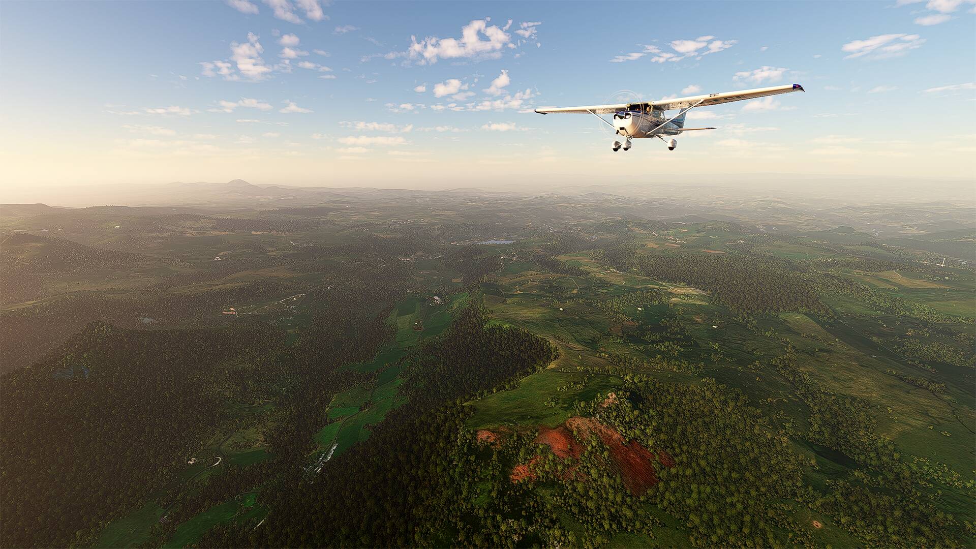
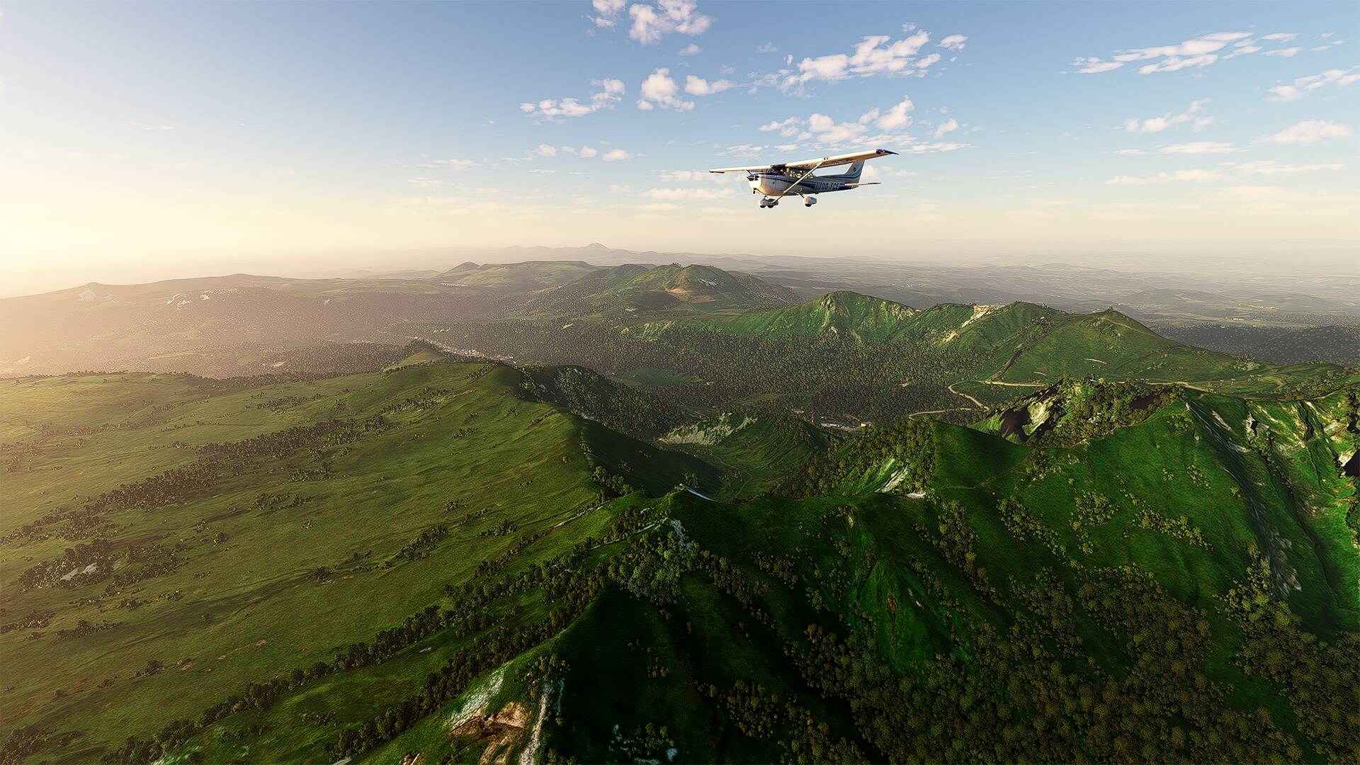
Direction the Massif Central which is a mountainous massif essentially hercynian which occupies the center of the southern half of the metropolitan France. With a surface area of 85,000 km2, it represents about 15% of the metropolitan territory.
And more precisely in ‘‘Le puy de Dôme’’ is a trachytic lava dome, about 11 000 years old and is part of the Puys chain, in the Massif Central. It is located about 15 km from Clermont-Ferrand and gave its name to the department of Puy-de-Dôme.
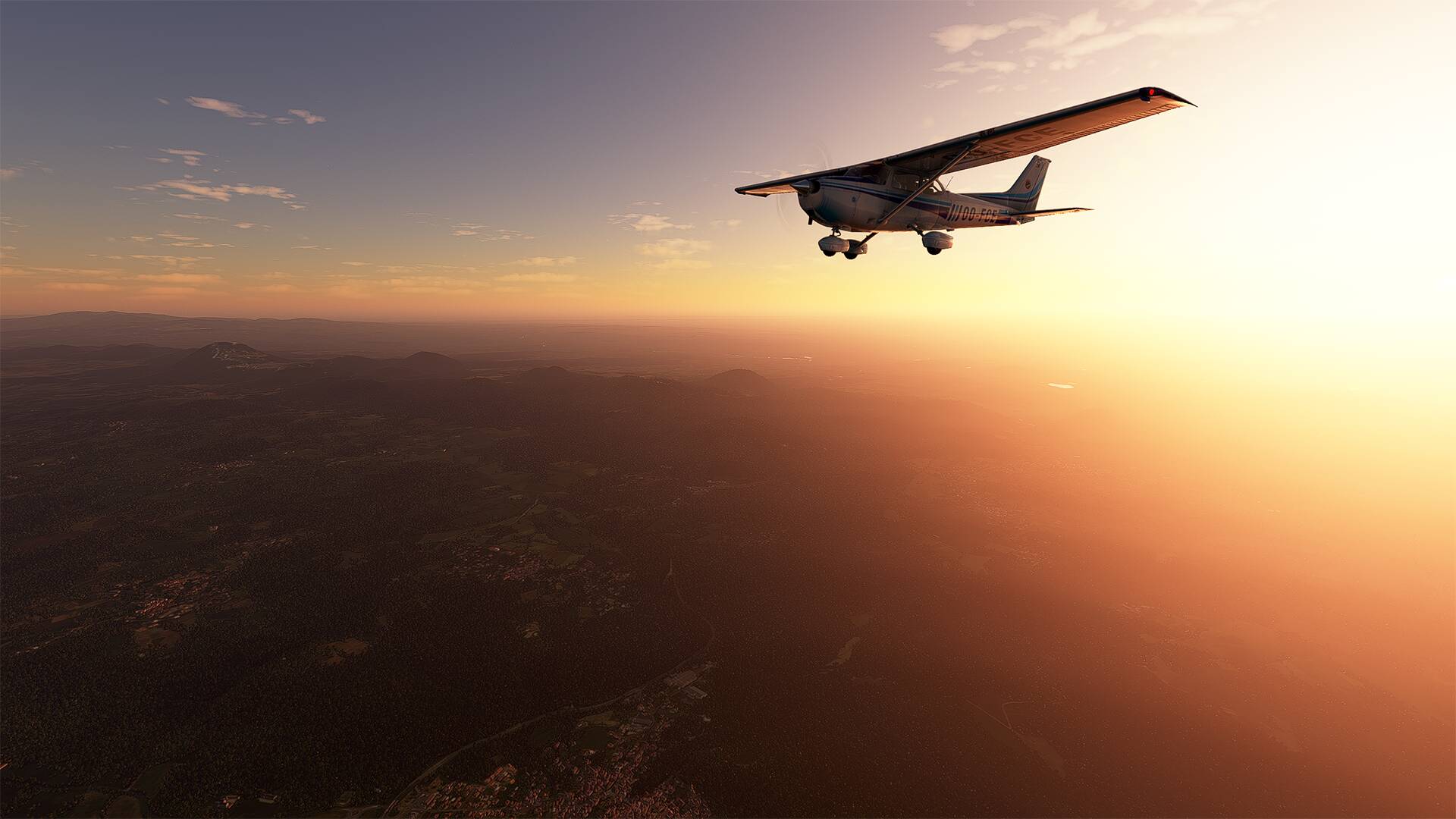
For the weather I chose the Preset Autums sun (SoFly Weather Preset Pro) with a walk at the end of the day.
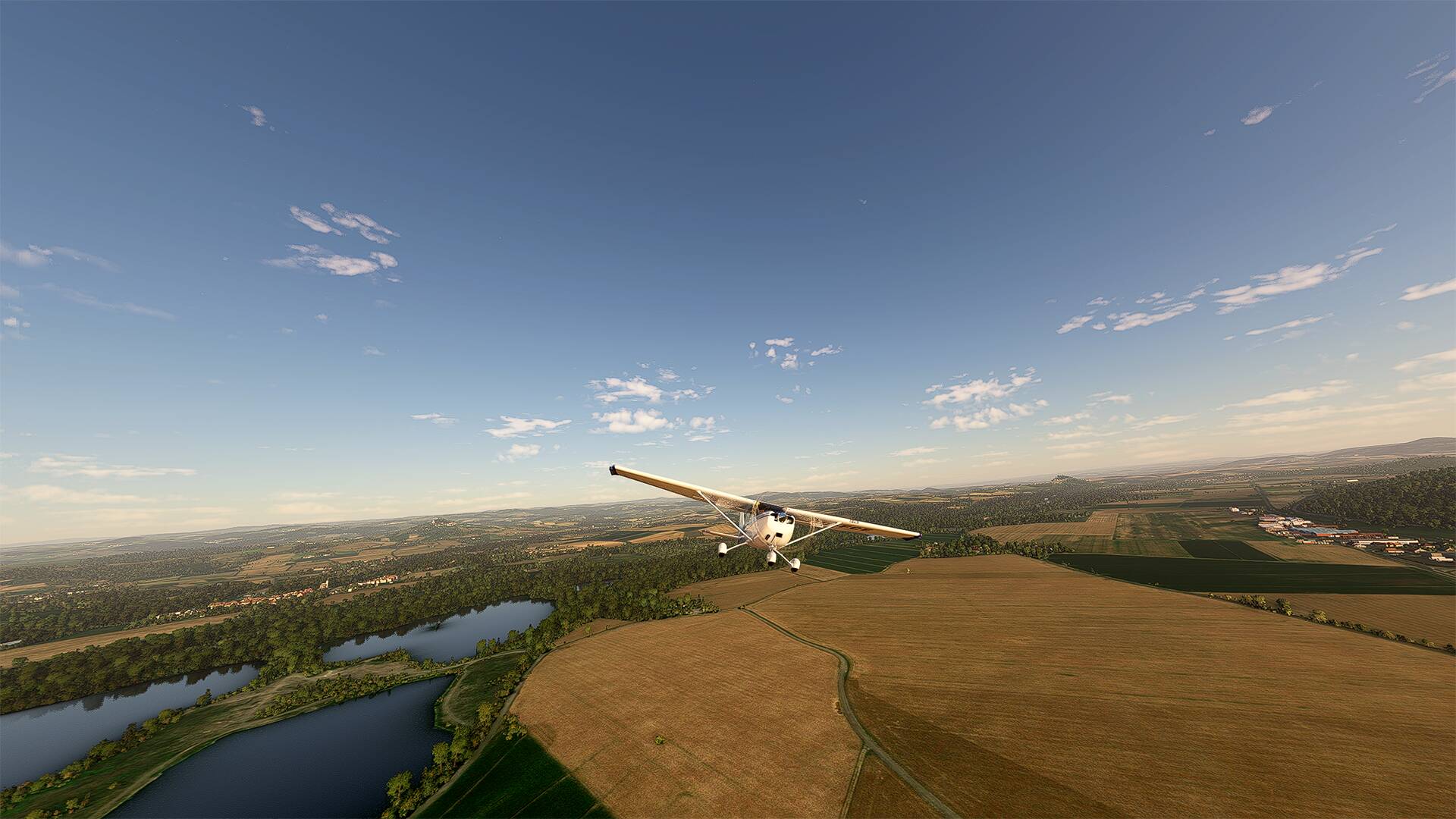
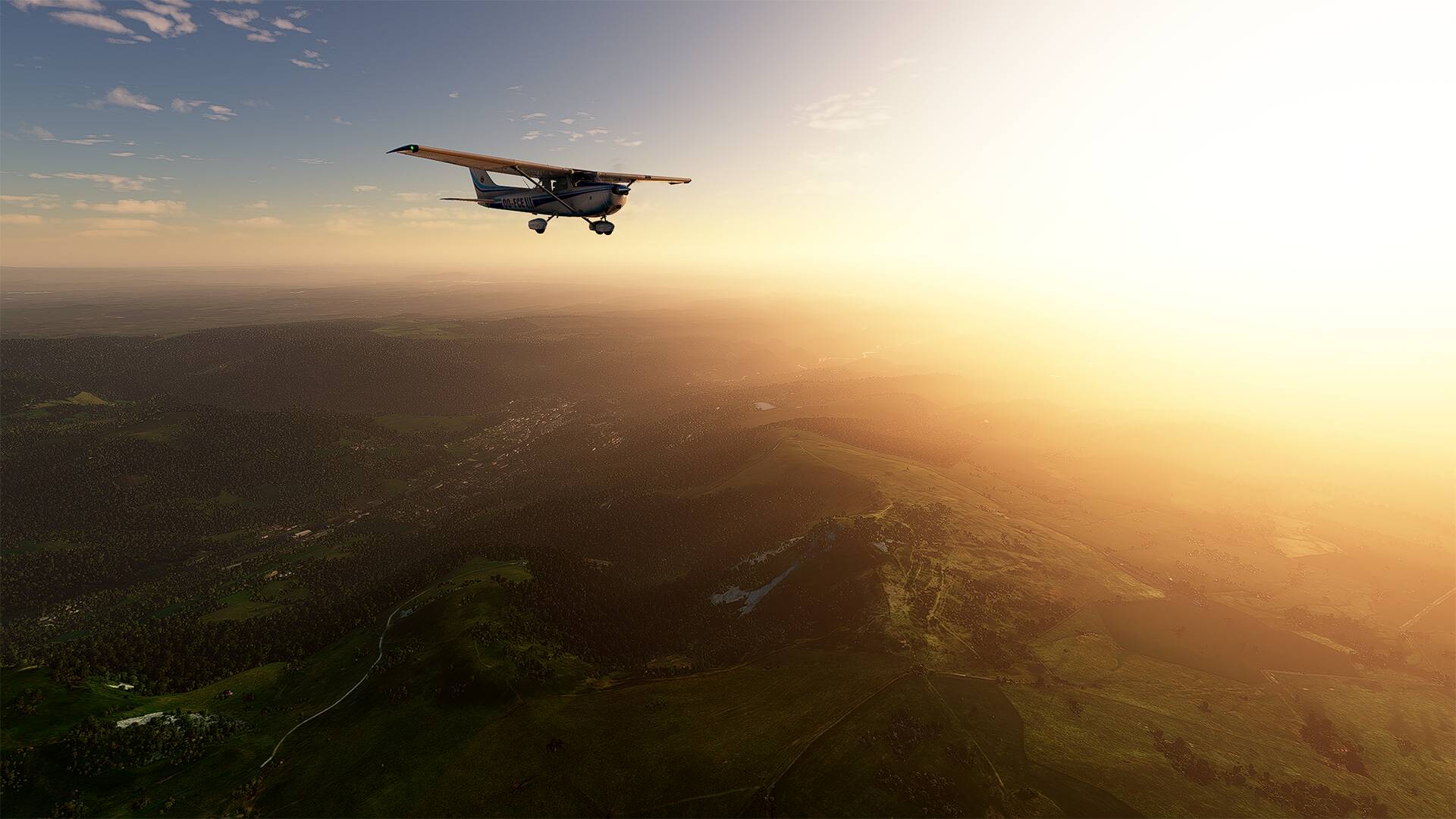
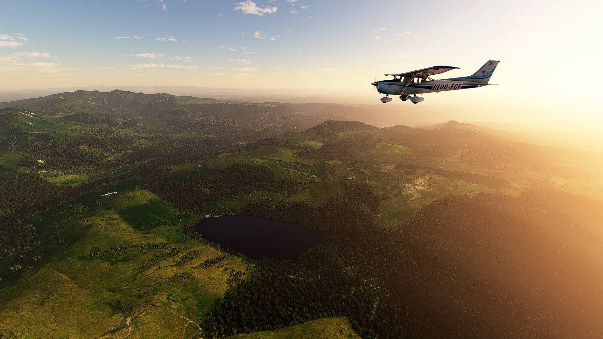
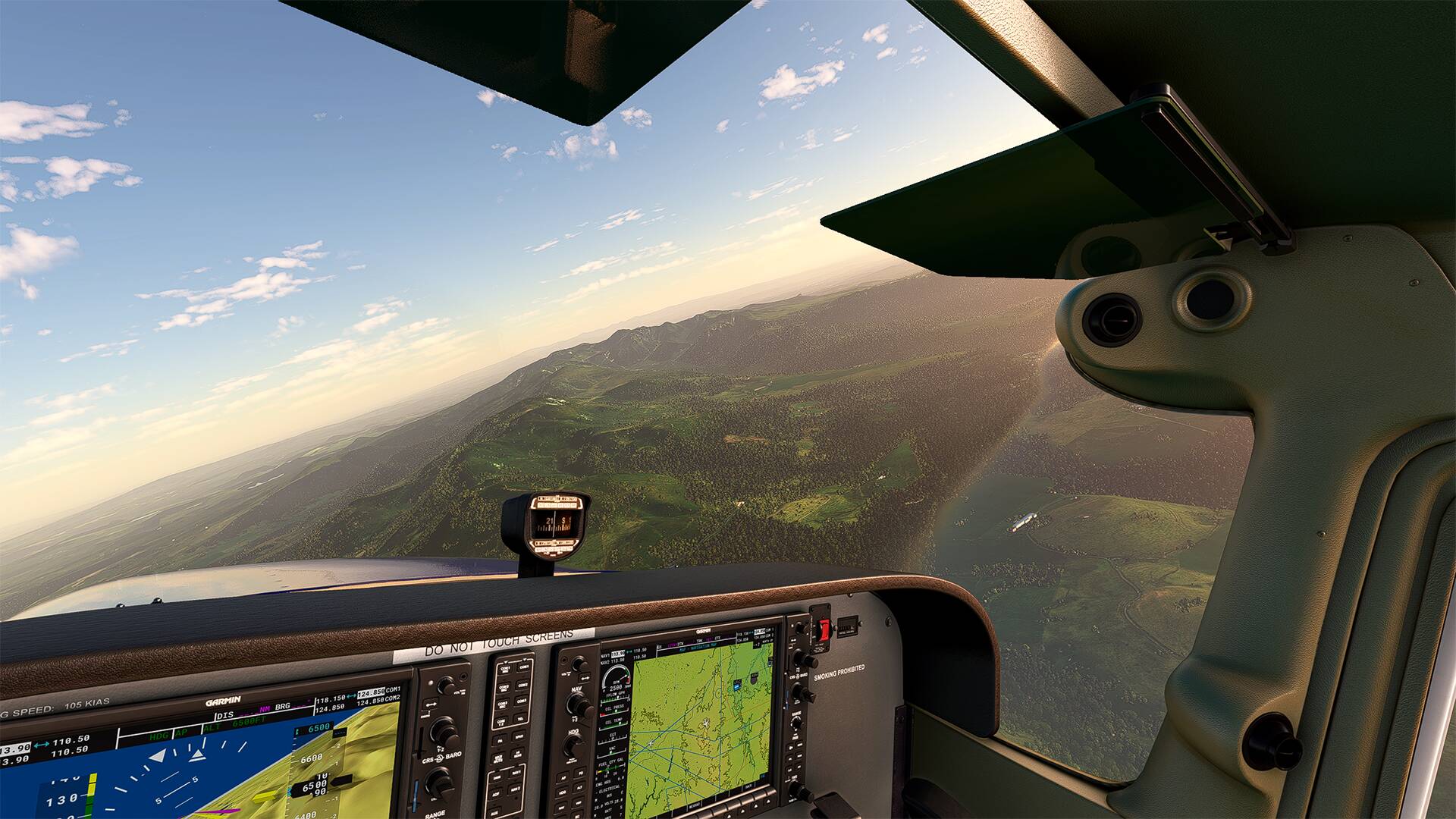
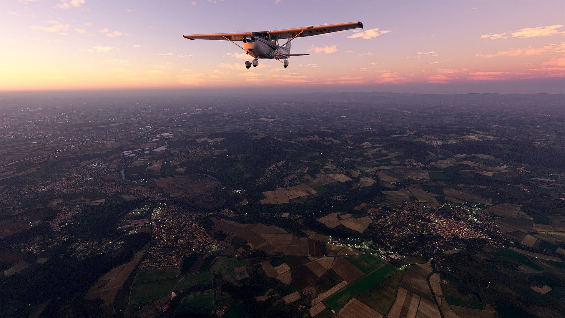
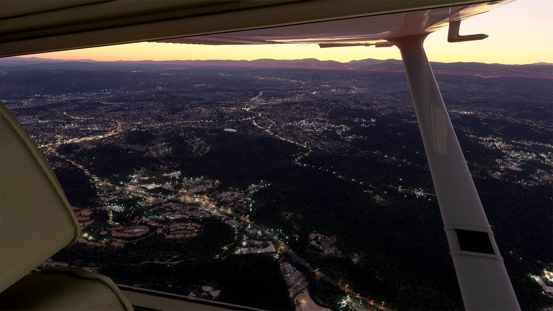
I made 2 or 3 flights at different times of the day because there are many points of interest to see.
=========
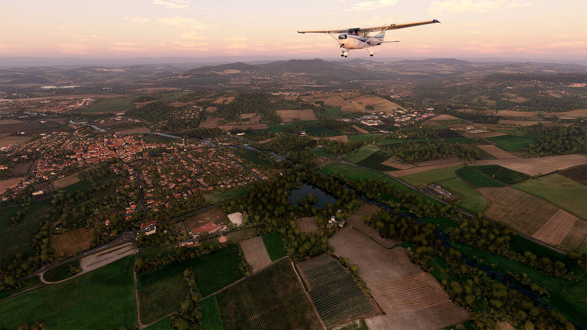
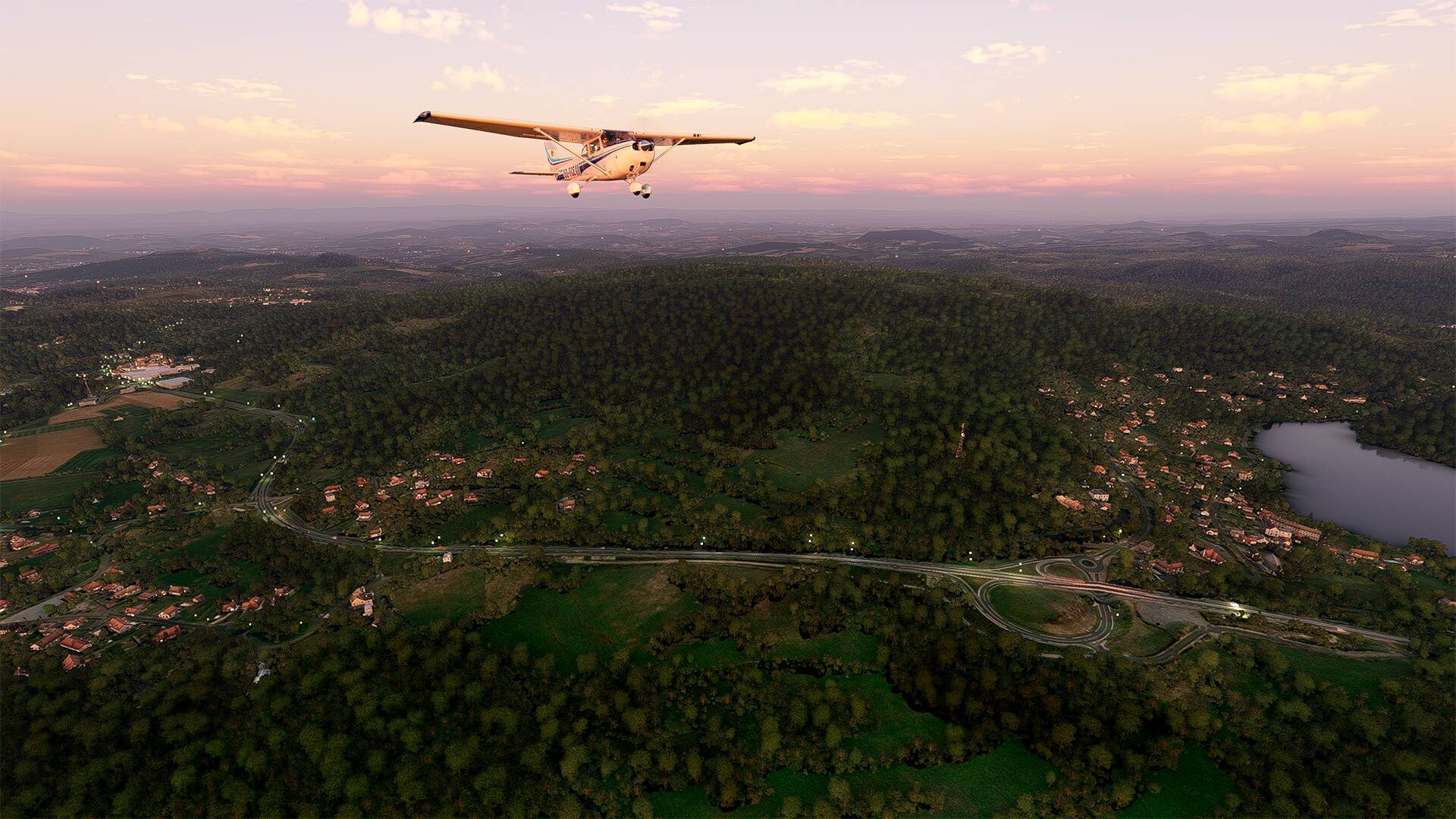
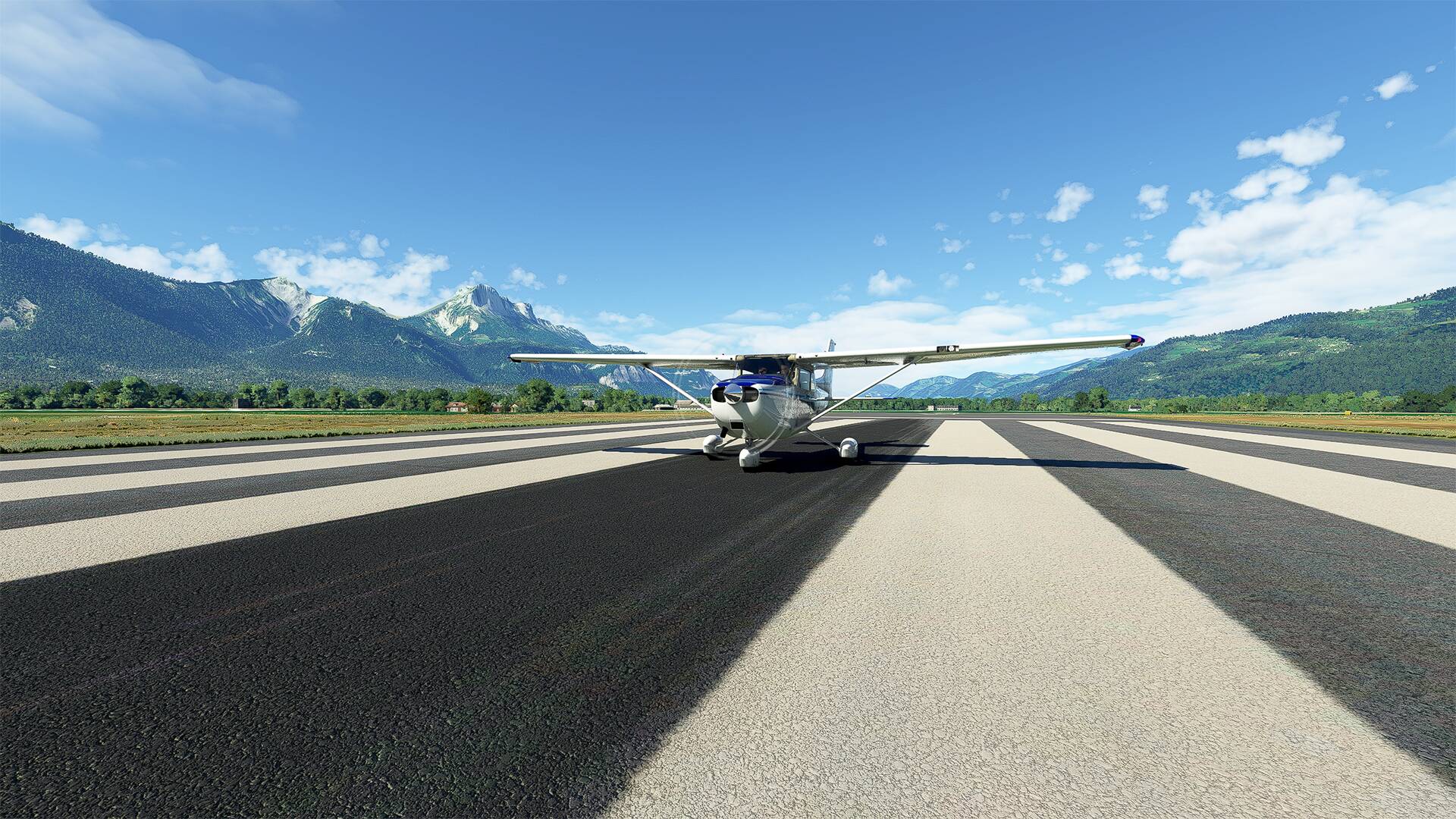
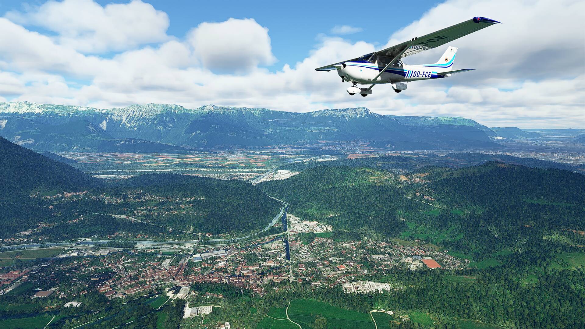
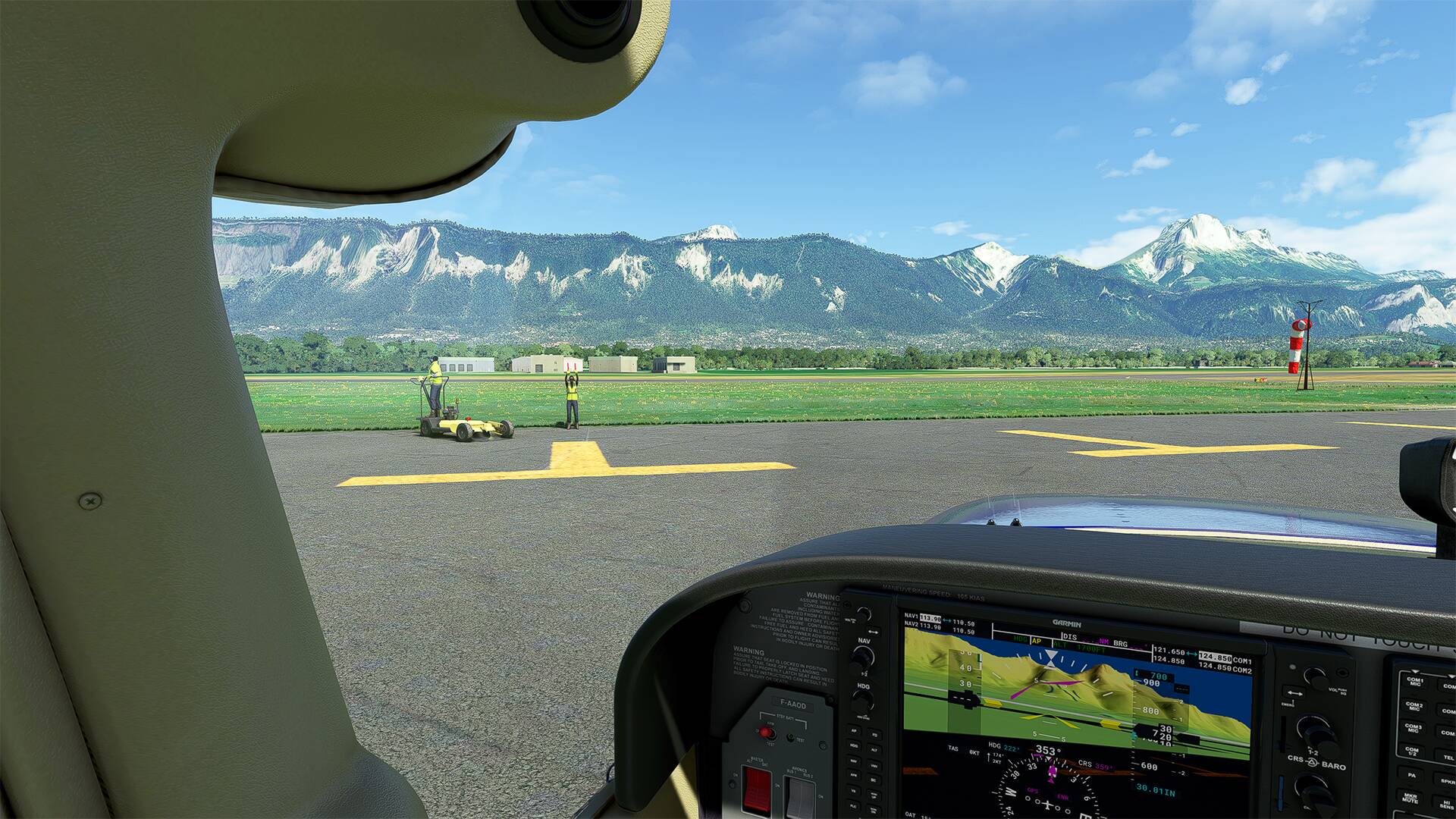
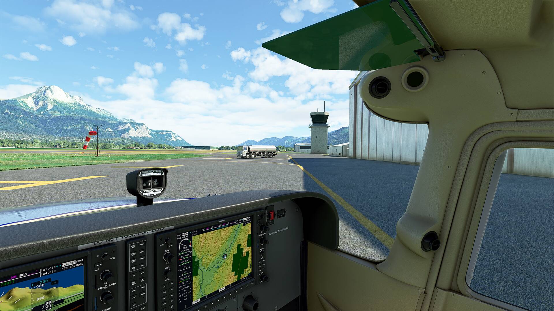
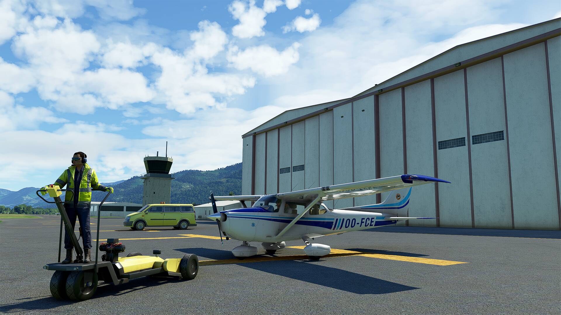
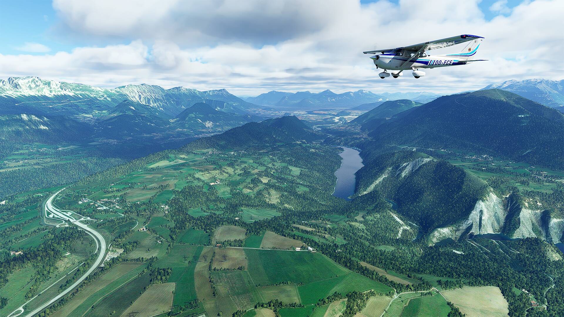
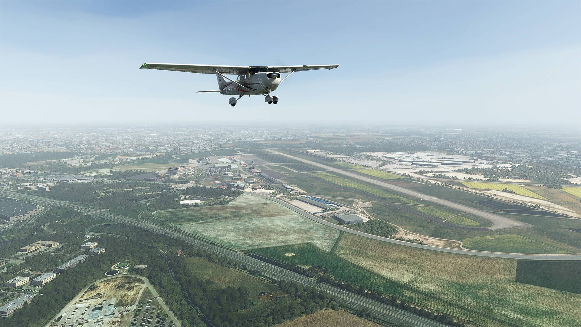
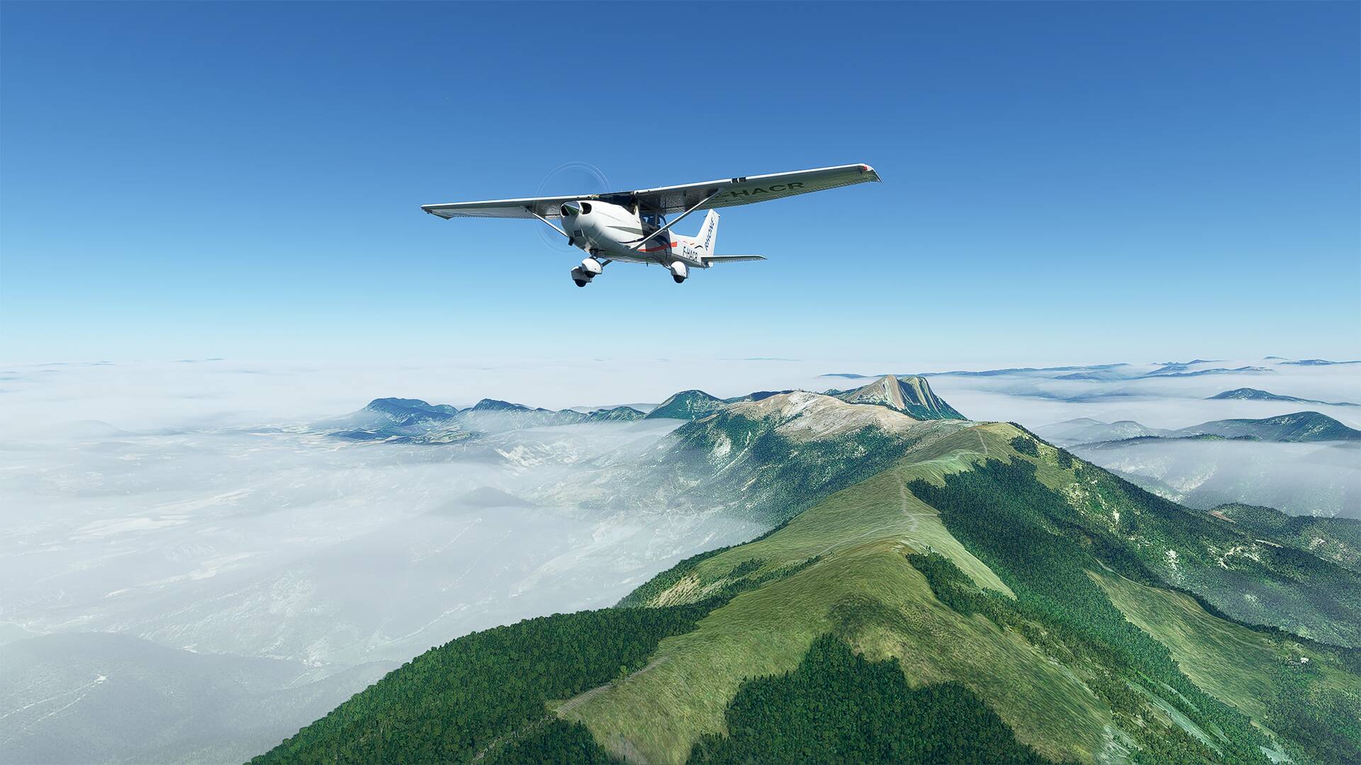
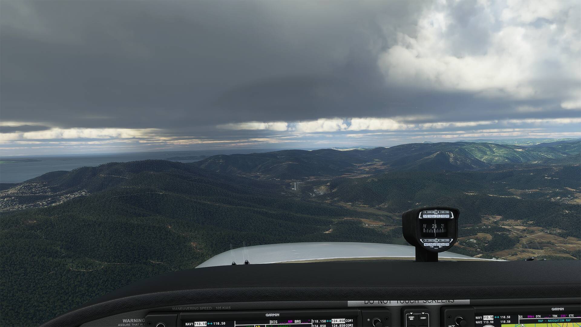
Takeoff from ‘‘l’Aérodrome d’Issoire Le Broc’’ and direction ‘‘La chaîne des Puys’’ also called Dôme mounts, and which is a set of about 80 volcanoes stretching on more than 45 km on the plateau of Dômes in the north of the Massif Central, in France. This set is part of the Auvergne volcanoes.
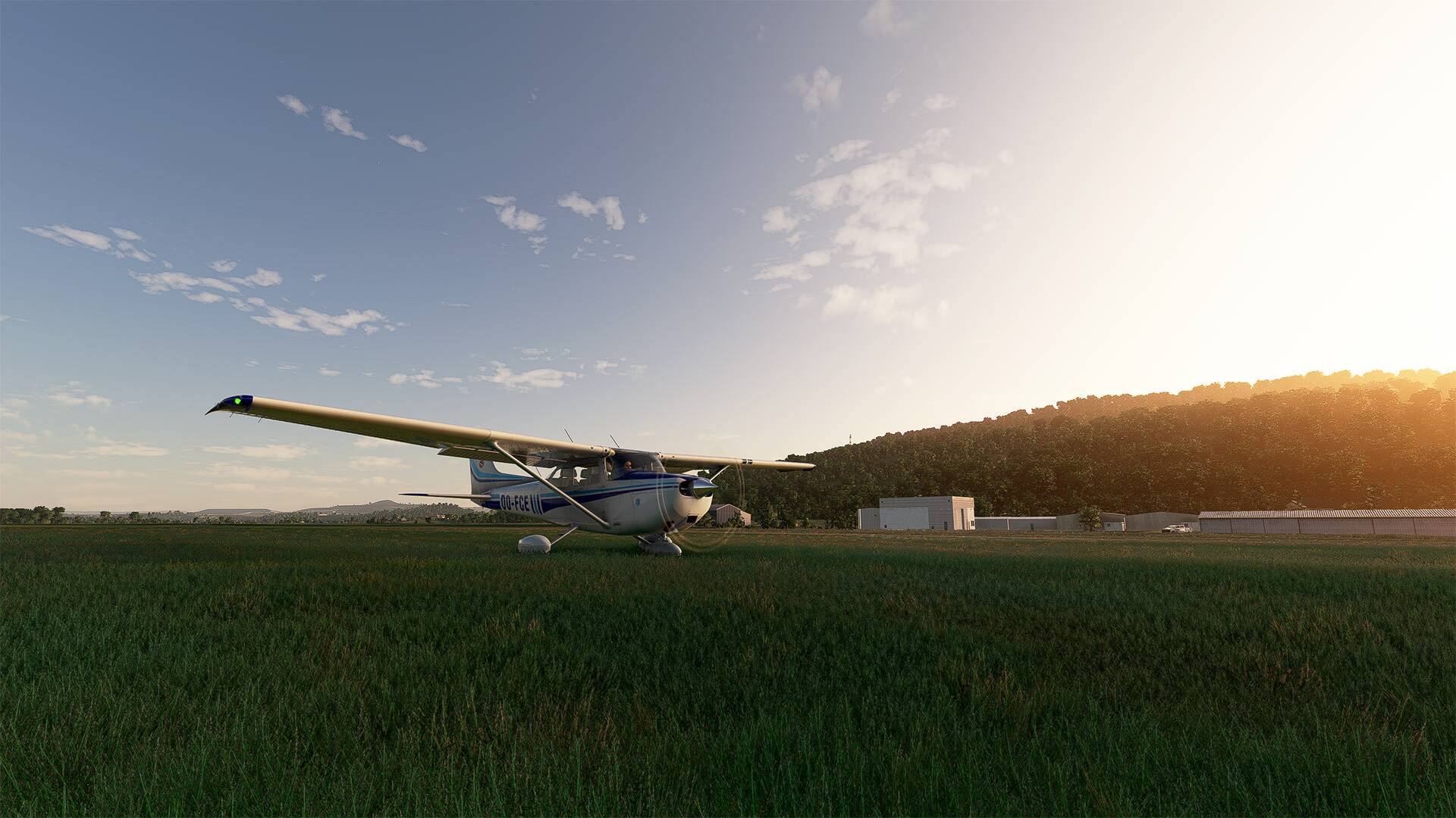
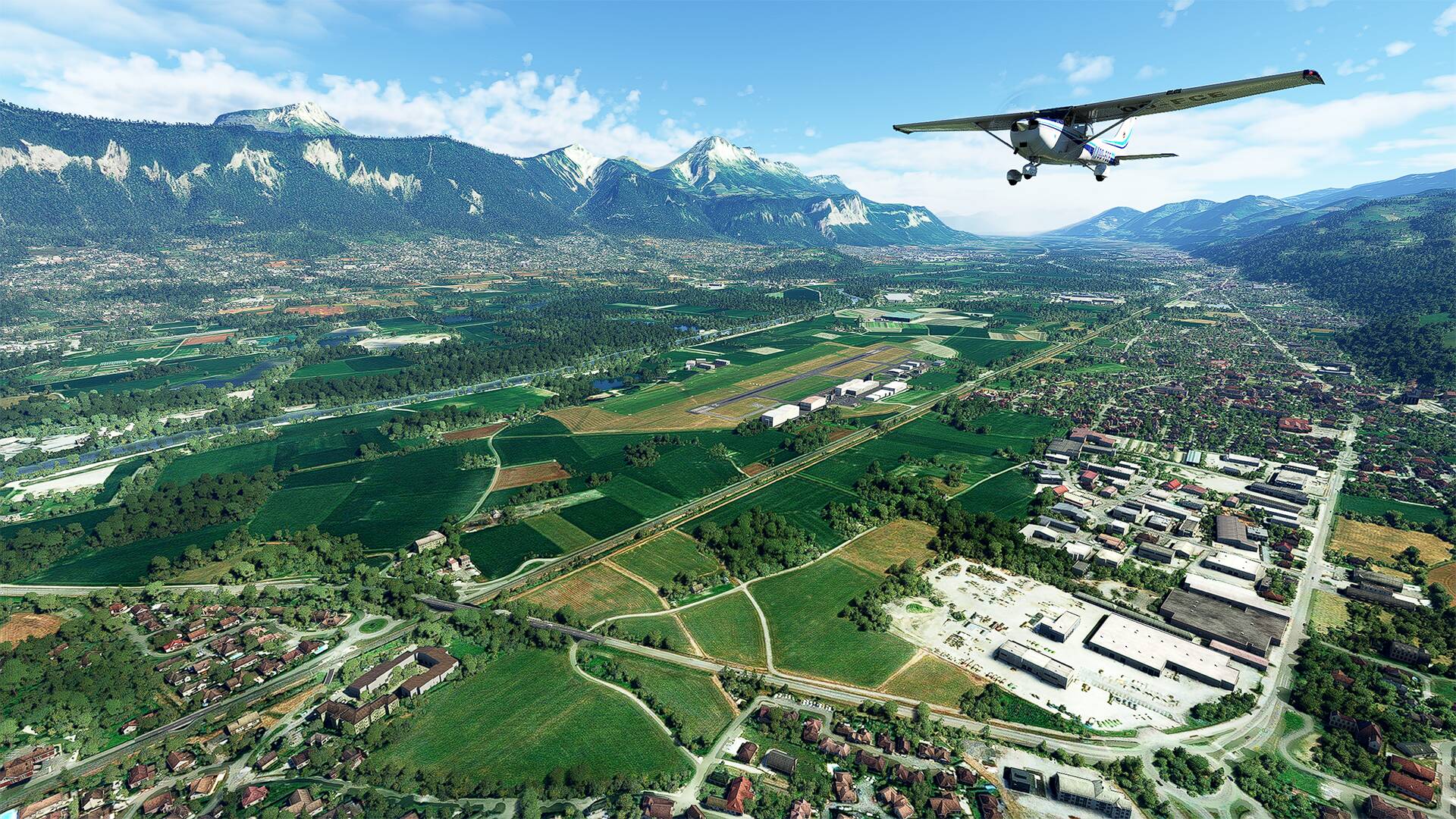
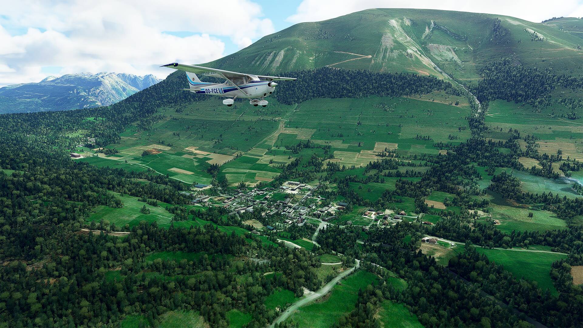
I leave the town of Issoire Le Broc behind and follow the A75 highway.
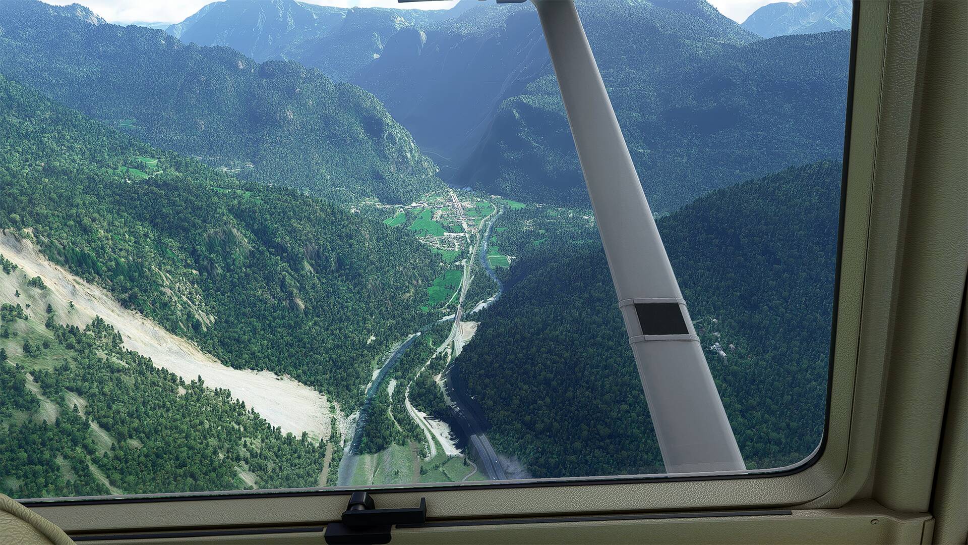
We can see the river ‘‘l’Allier’’ which goes along the freeway ‘‘A75’’ and down on the right a part of the village of ‘‘Saint-Yvoine’’.
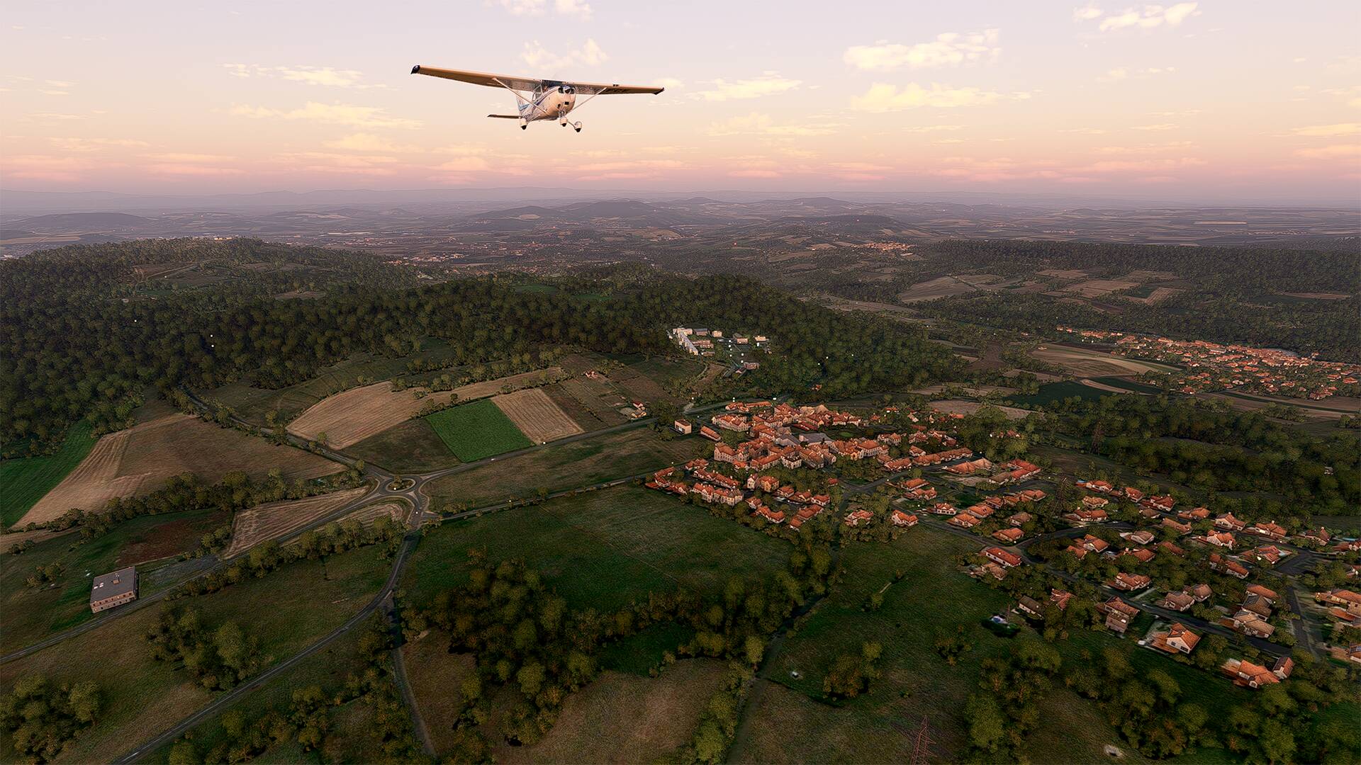
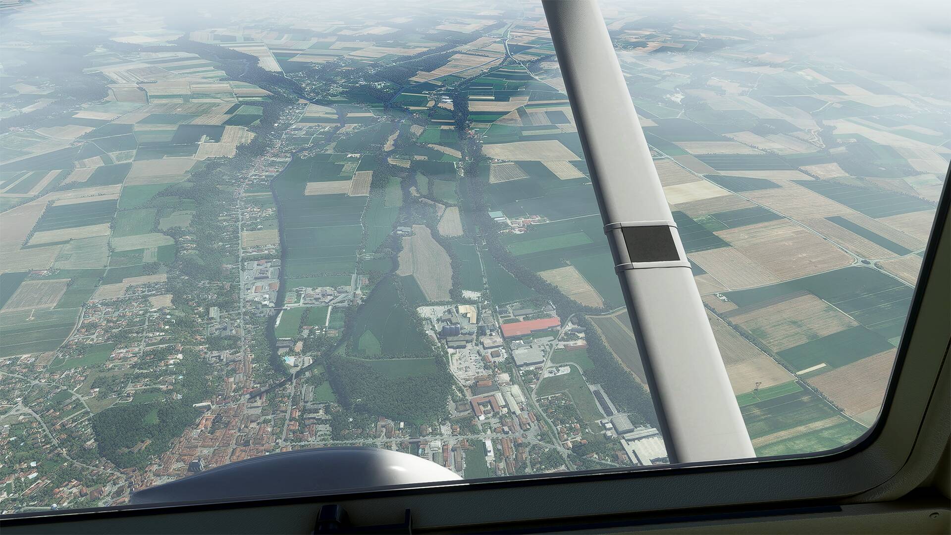
I follow the highway until the village of ‘‘Orcet’’ (in the bottom left of the picture you can see the “Centre Hippique du Val d’Orcet”) and I turn left in the direction of the “Station du Mont-Dore”,
Many communes parseme my way, the commune ‘‘Opme’’ and ‘‘Chanonat’’.
From ‘‘Saulzet le Chaud’’ and the national road ''N89
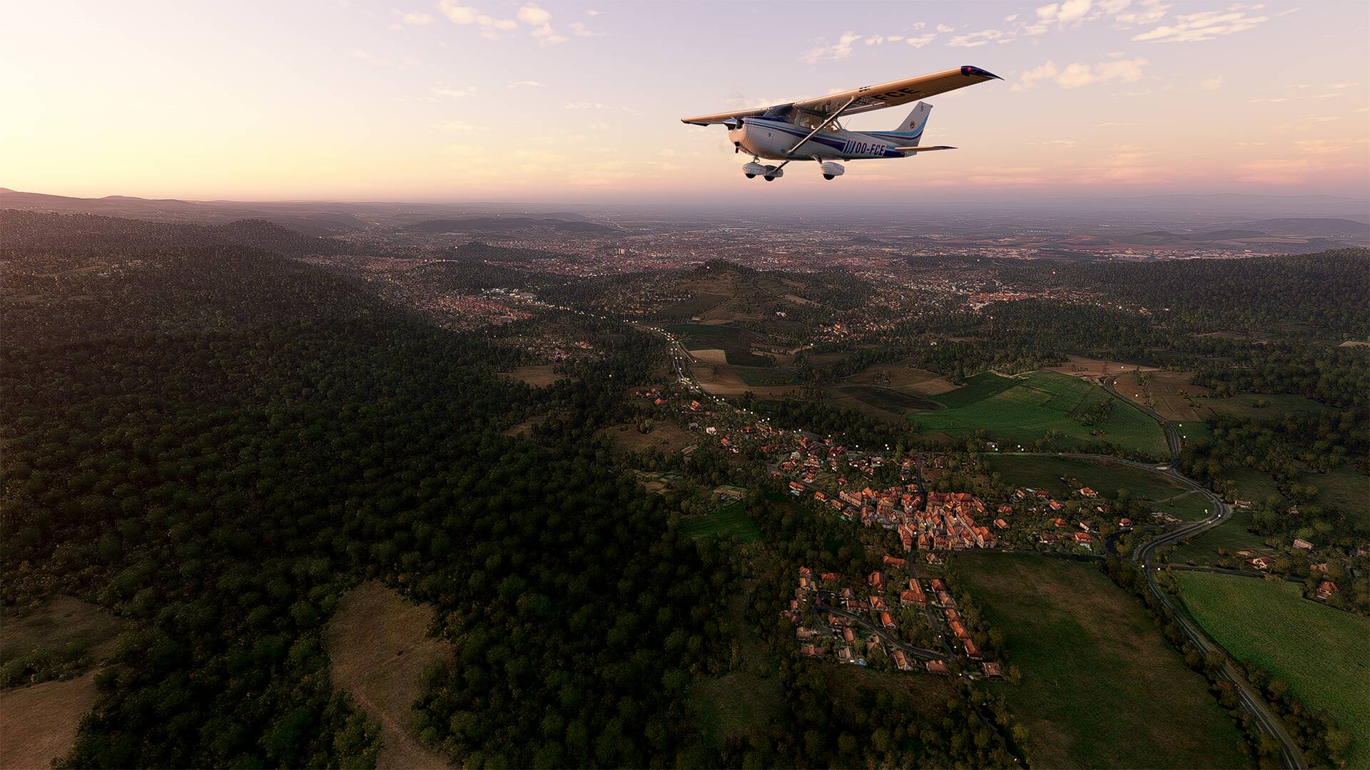
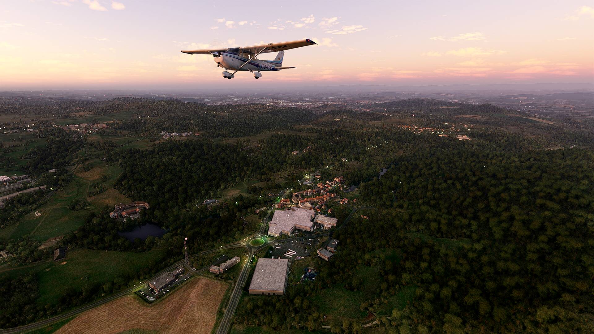
The commune of ‘‘Saint-Genès-Champanelle’’ and the ‘‘Déchetterie sud-ouest Clermont Métropole’’ at the traffic circle.
The ‘‘Lac de la Cassière’’ and the commune of ‘‘Aydat’’.
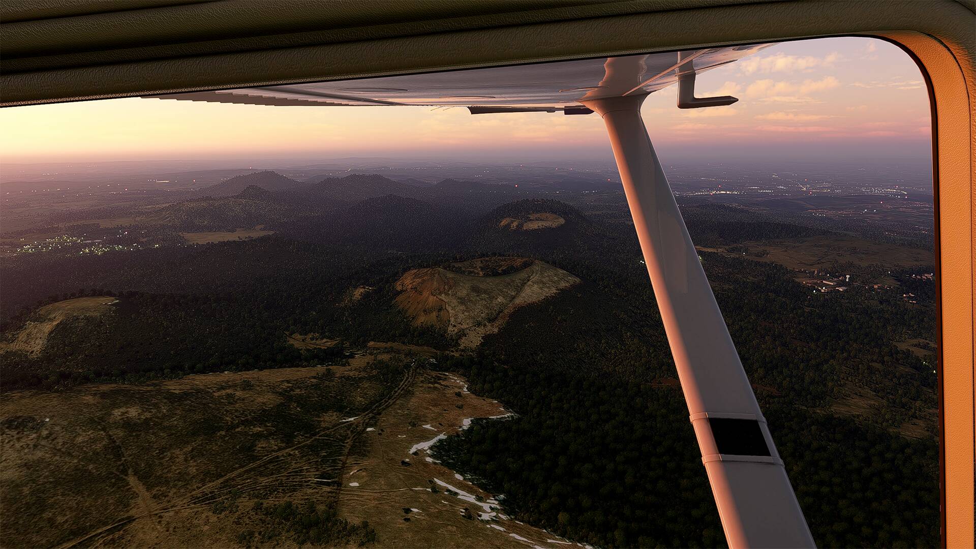
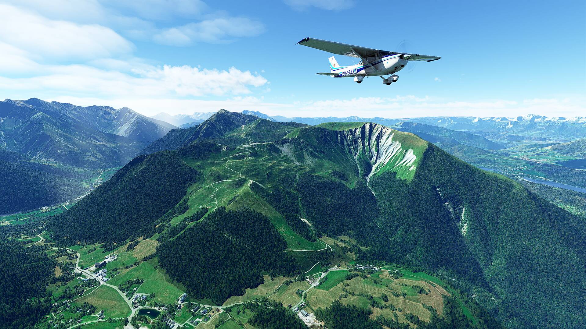
The ‘‘Carrière du Puy de la Toupe (Coudert)’’ which borders the ‘‘Parc naturel régional des Volcans d’Auvergne’’ and the national ‘‘N89’’ which leads to the town of ‘‘Nébouzat’’ a few kilometers away and on this picture, I am at the vertical of the ‘‘Col de la Ventouse’’ (on the town of Aydat and it culminates at 964 m altitude)
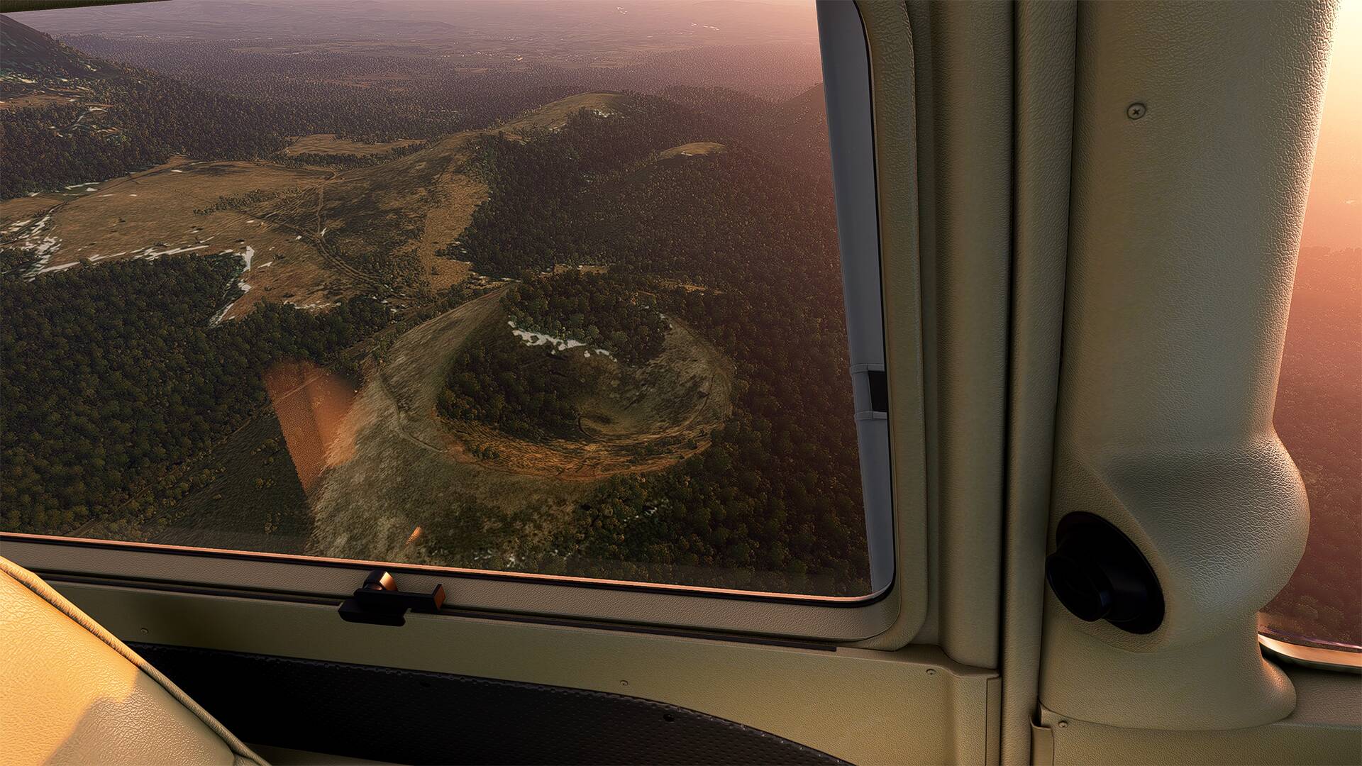
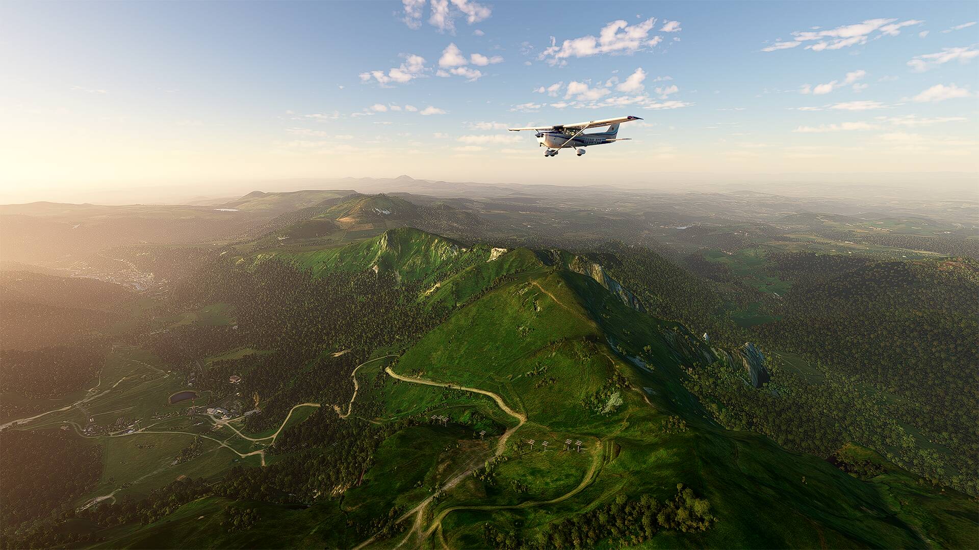
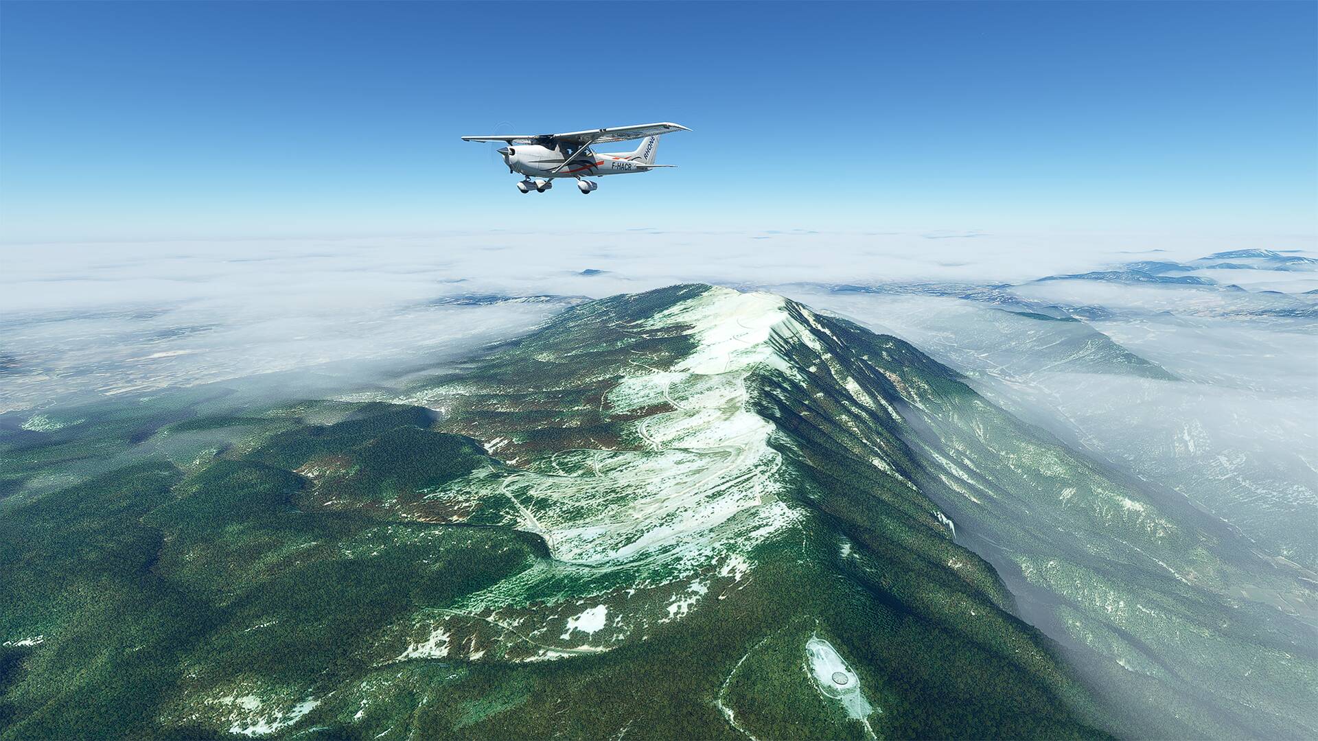
The ‘‘puys de la Vache et de Lassolas’’ which are twin volcanoes. (It is also a family walk, with many panoramas, the surrounding landscape is made up of bombs of cooled lava scattered on a ground composed partly of pozzolan).
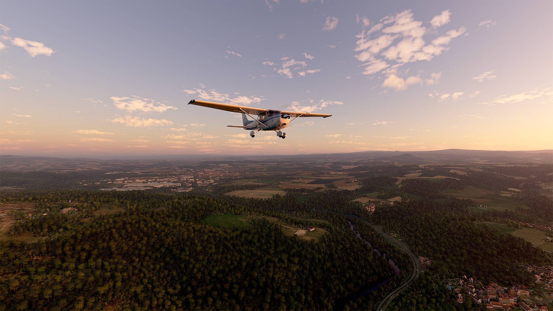
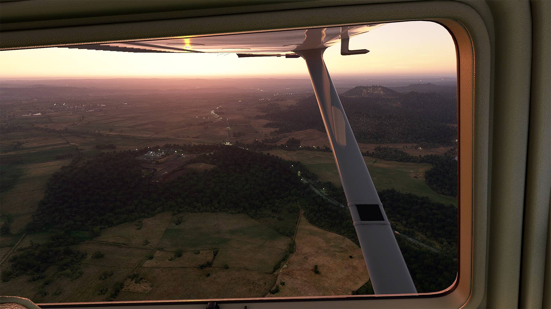
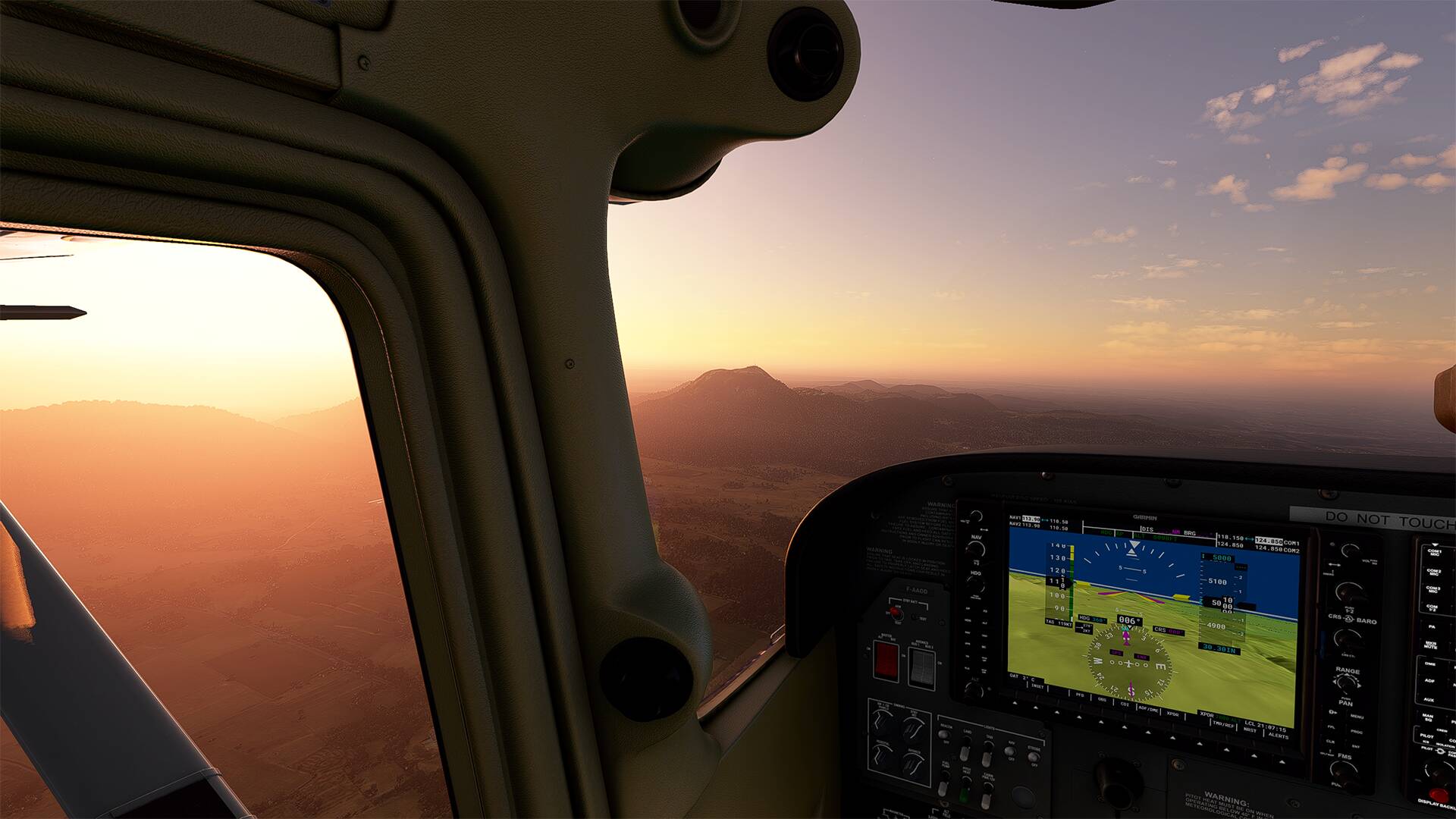
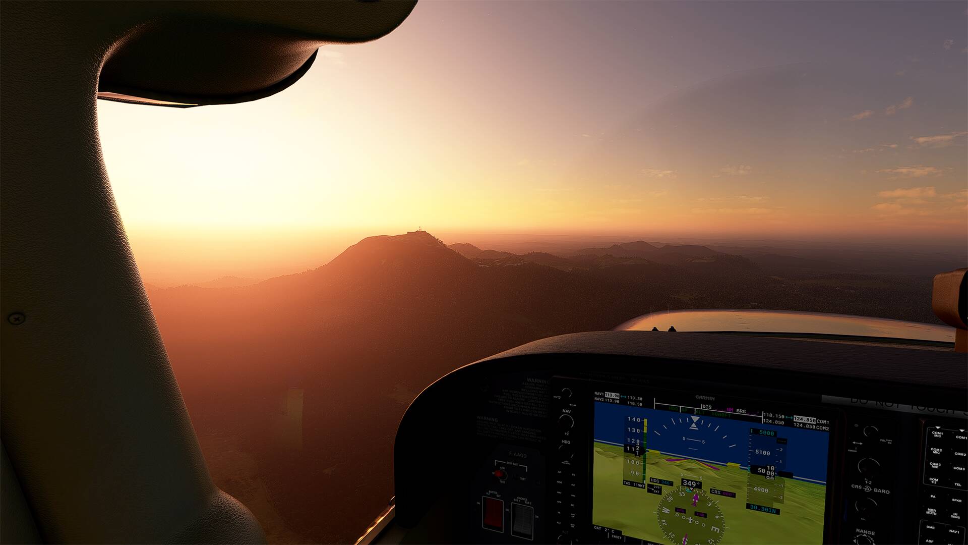
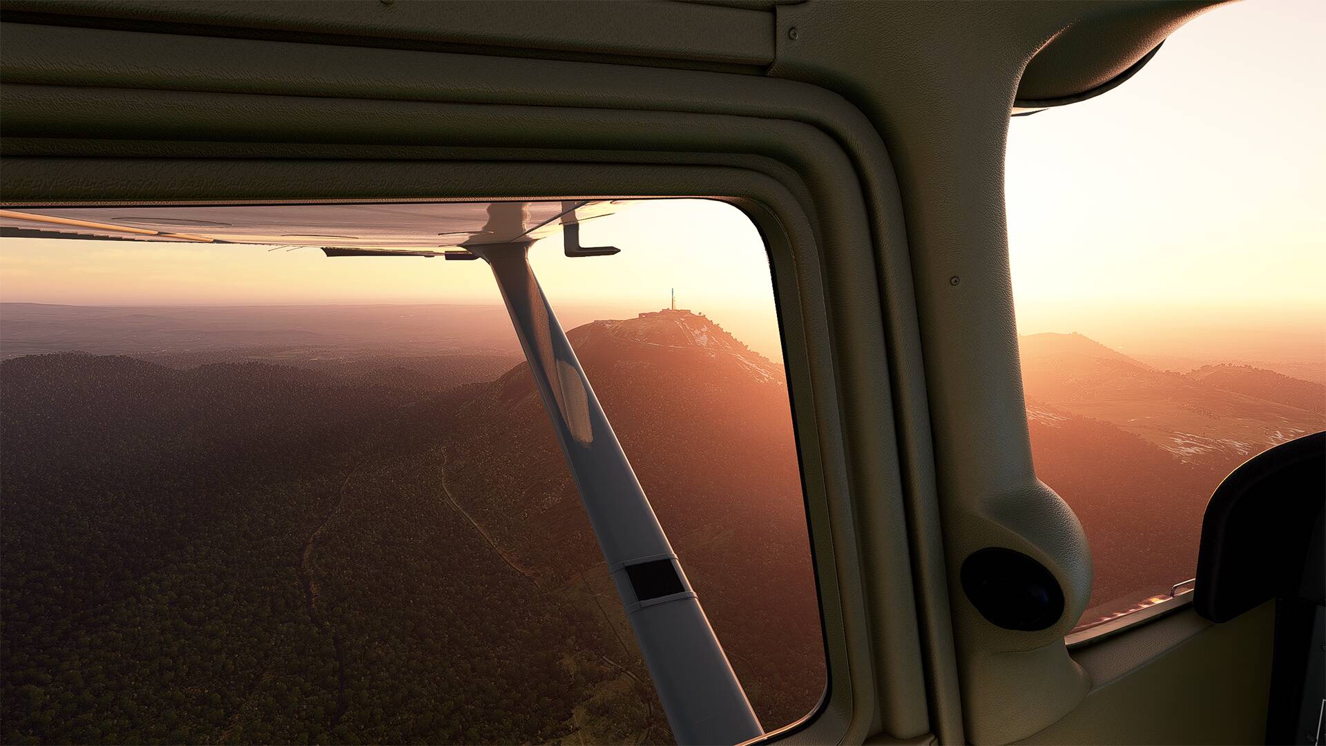
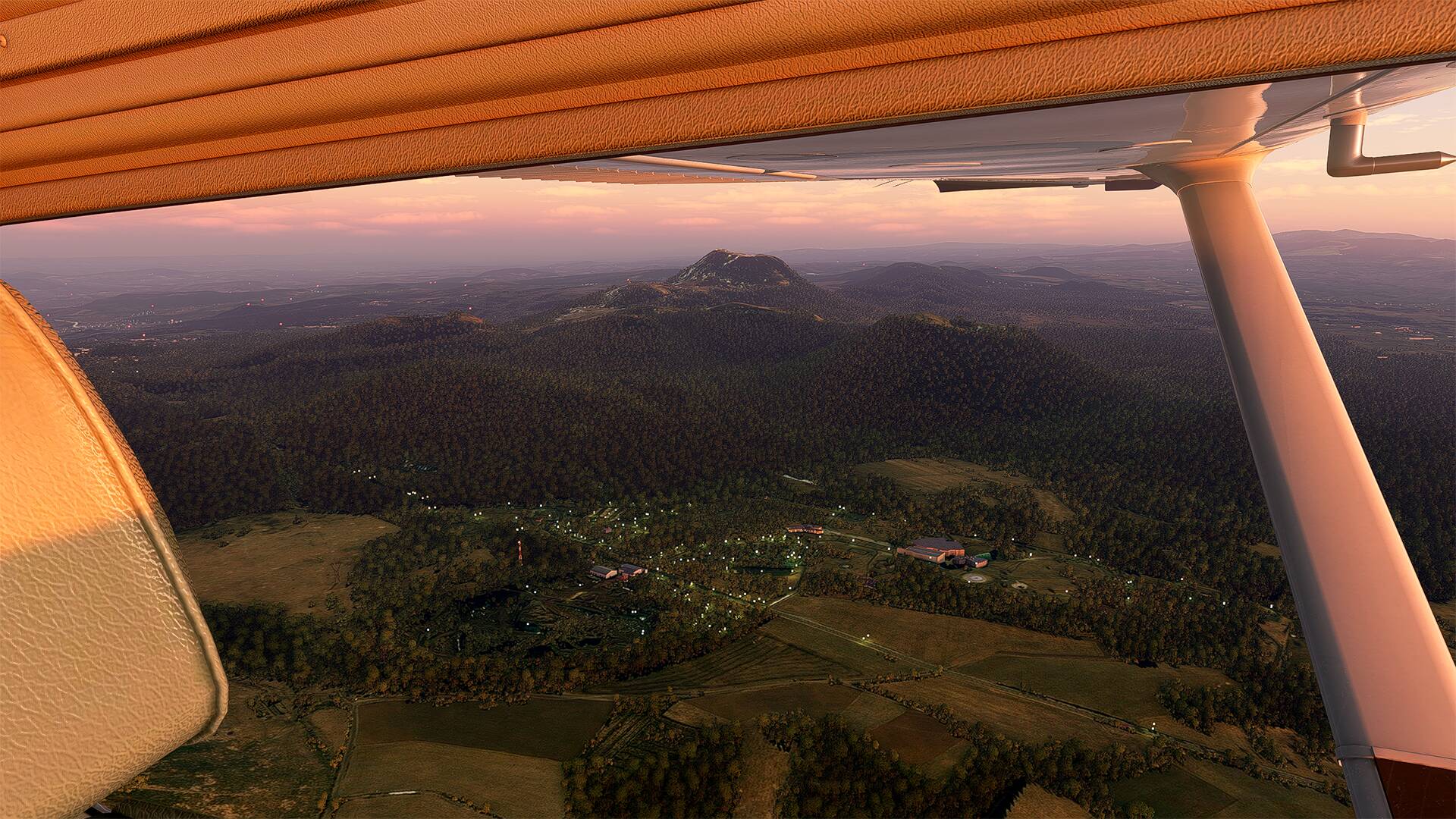
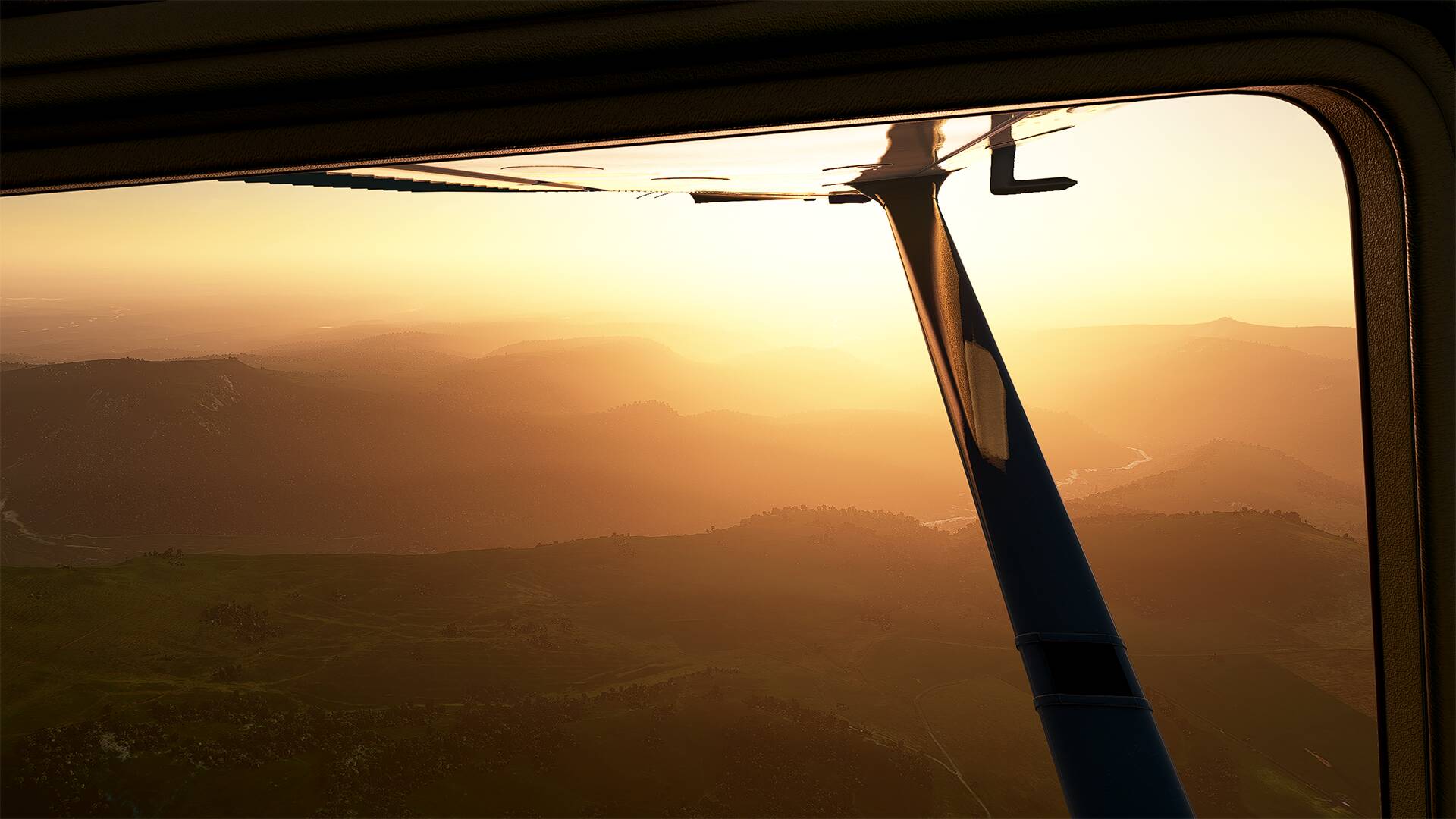
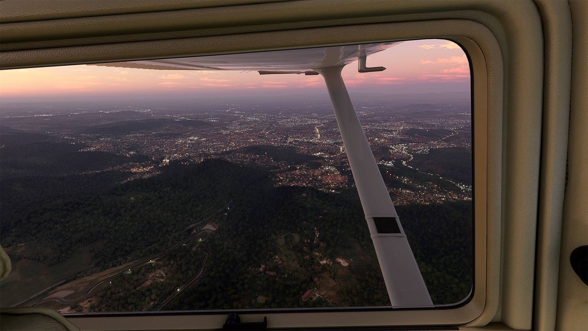
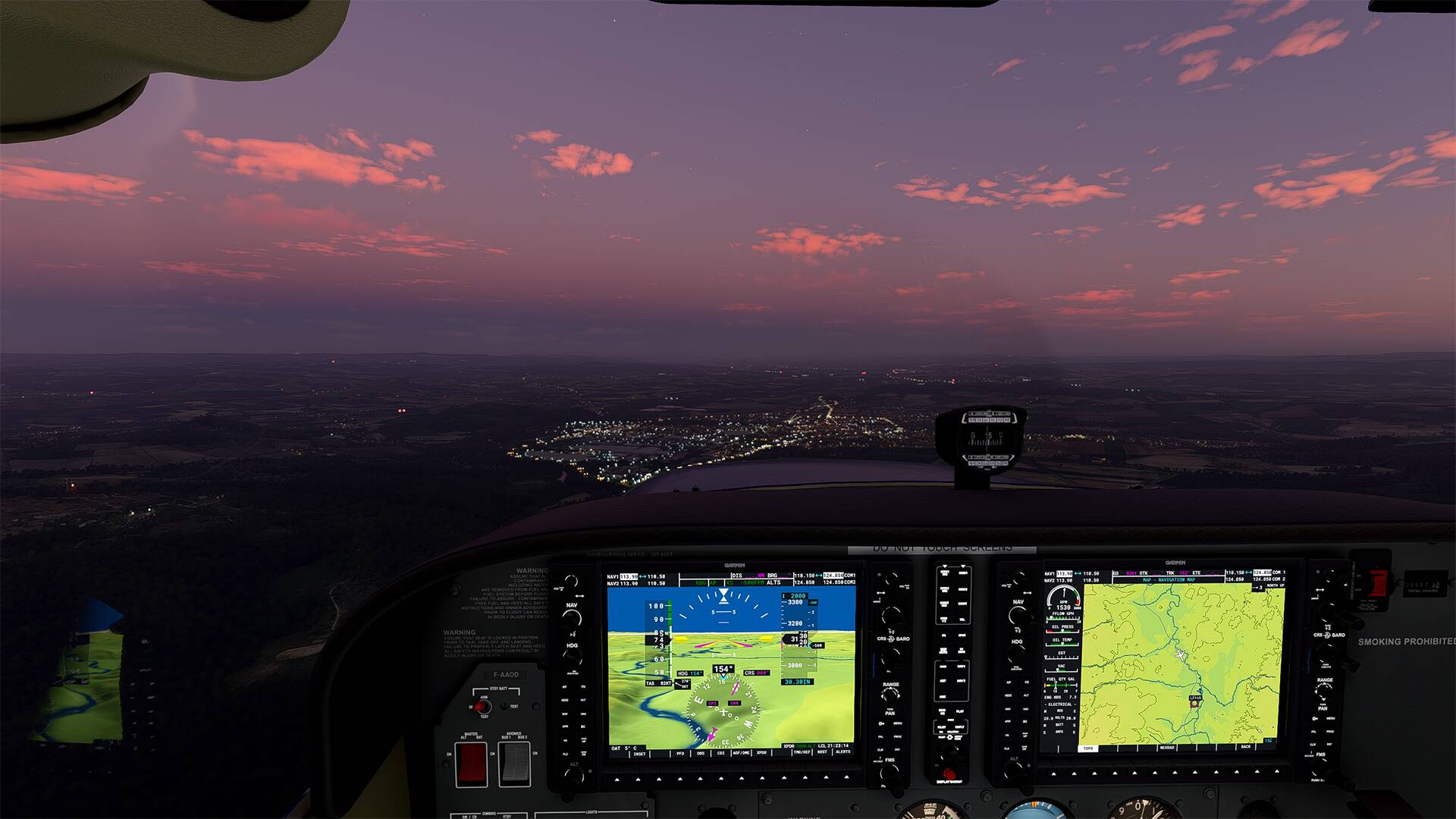
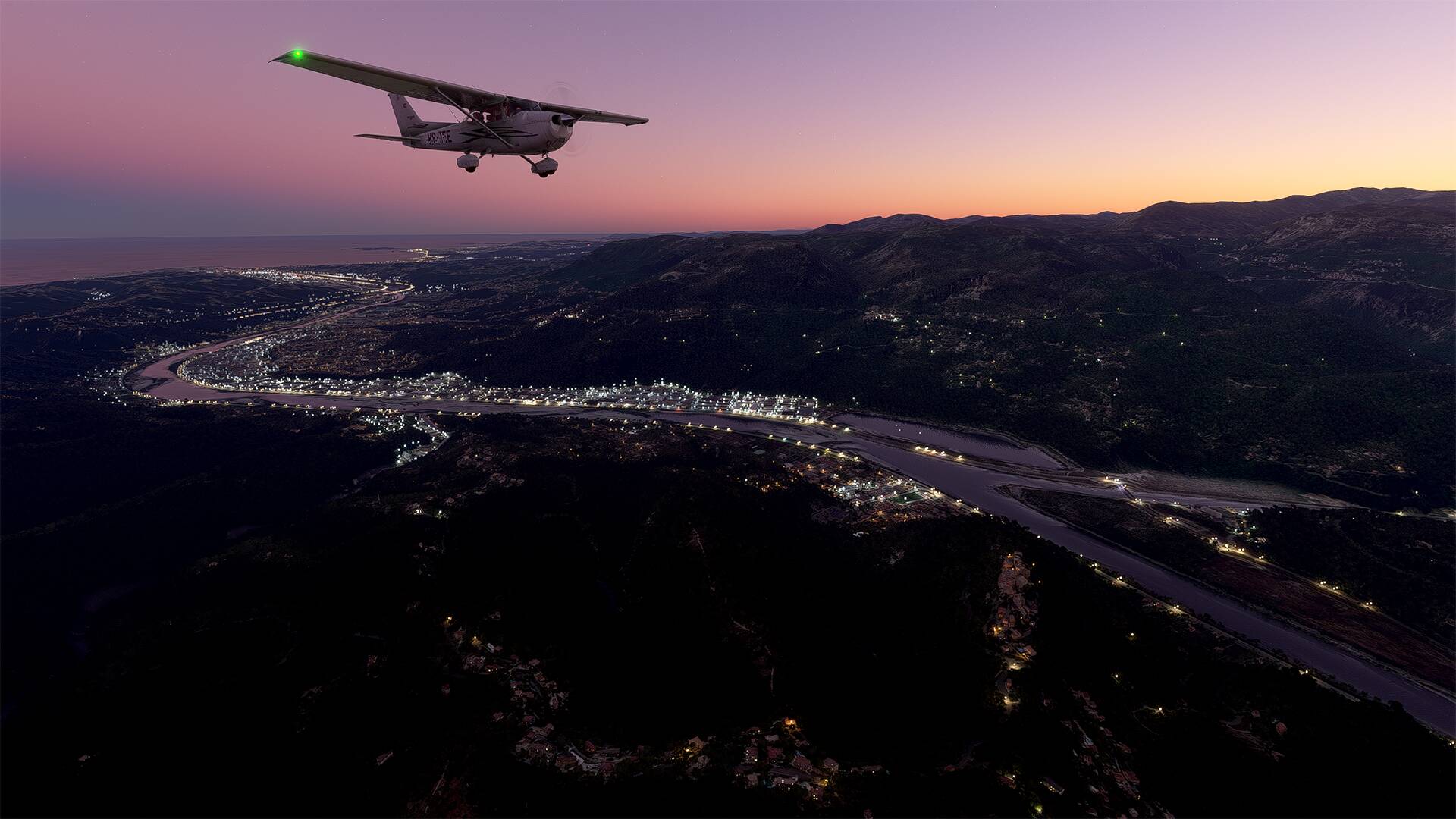
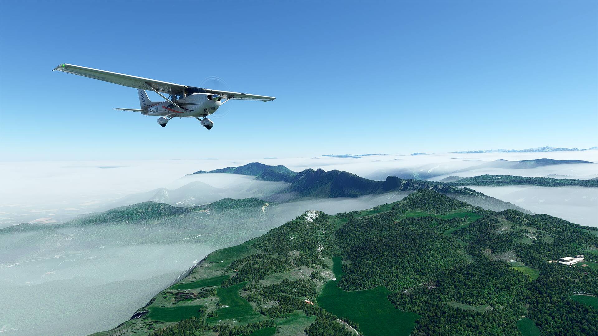
I turn towards the ‘‘puy de Dôme’’ with a beautiful sunset
(The puy de Dôme is a trachytic lava dome, about 11 000 years old and is part of the Puys chain, in the Massif Central. It is located about fifteen kilometers from Clermont-Ferrand and gave its name to the department of Puy-de-Dôme)
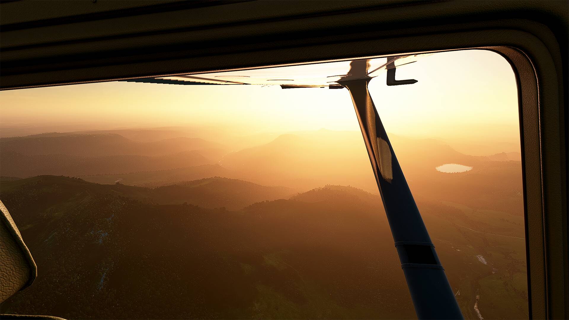
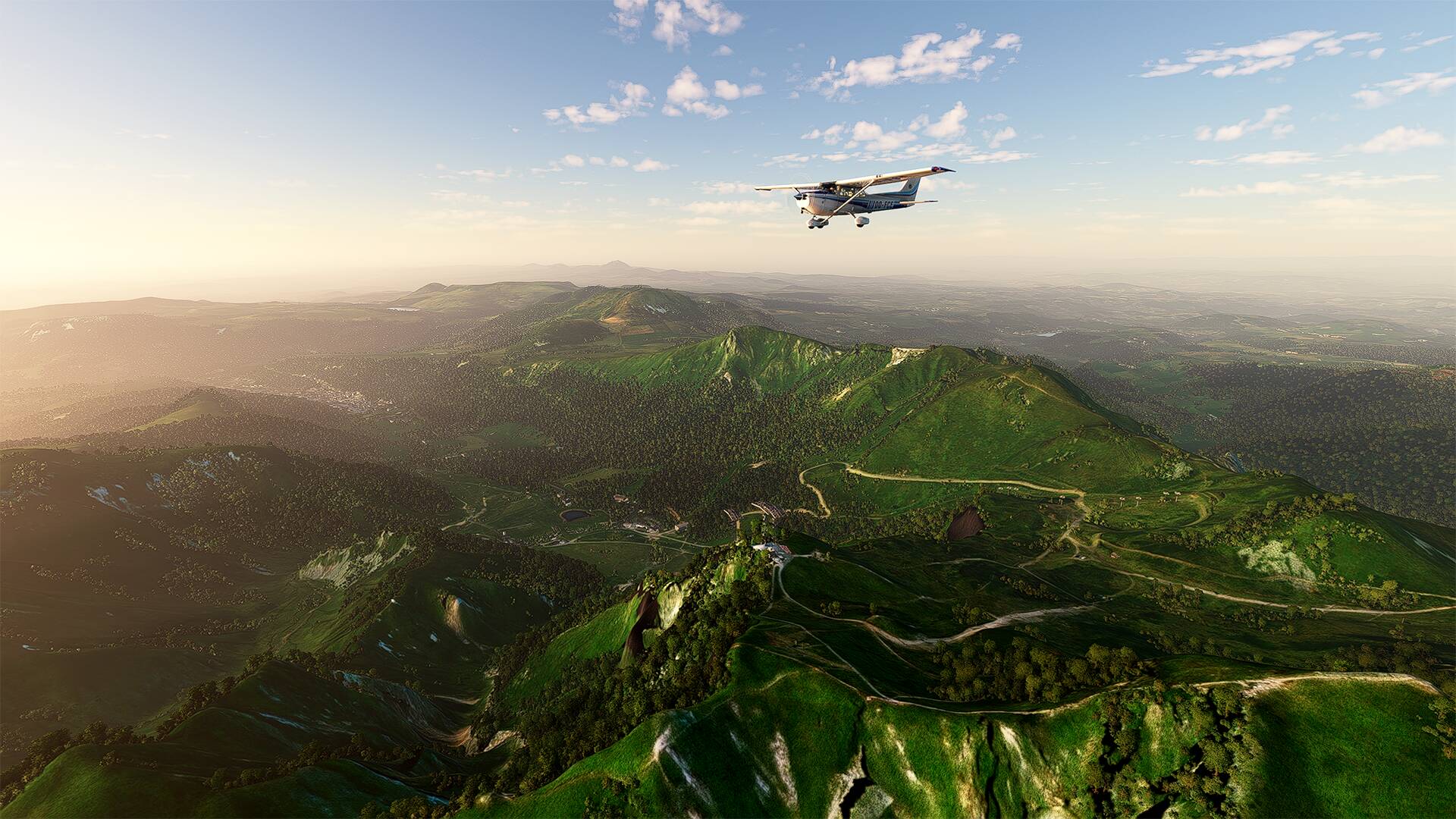
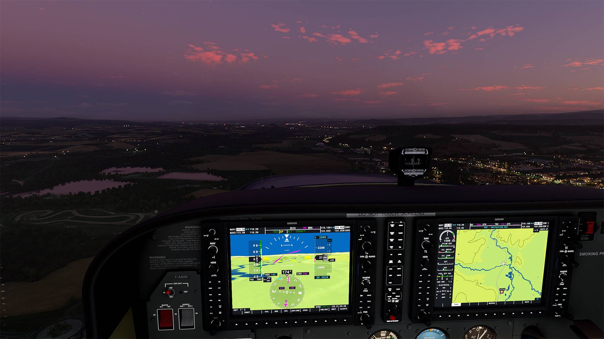
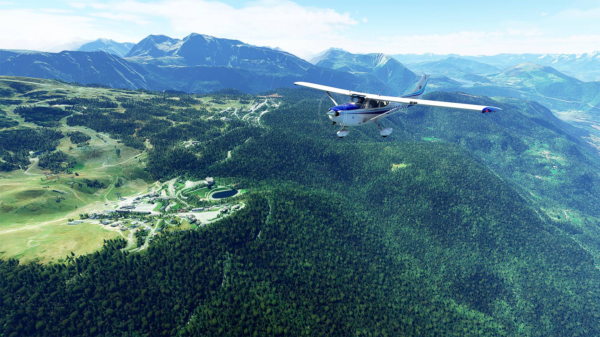
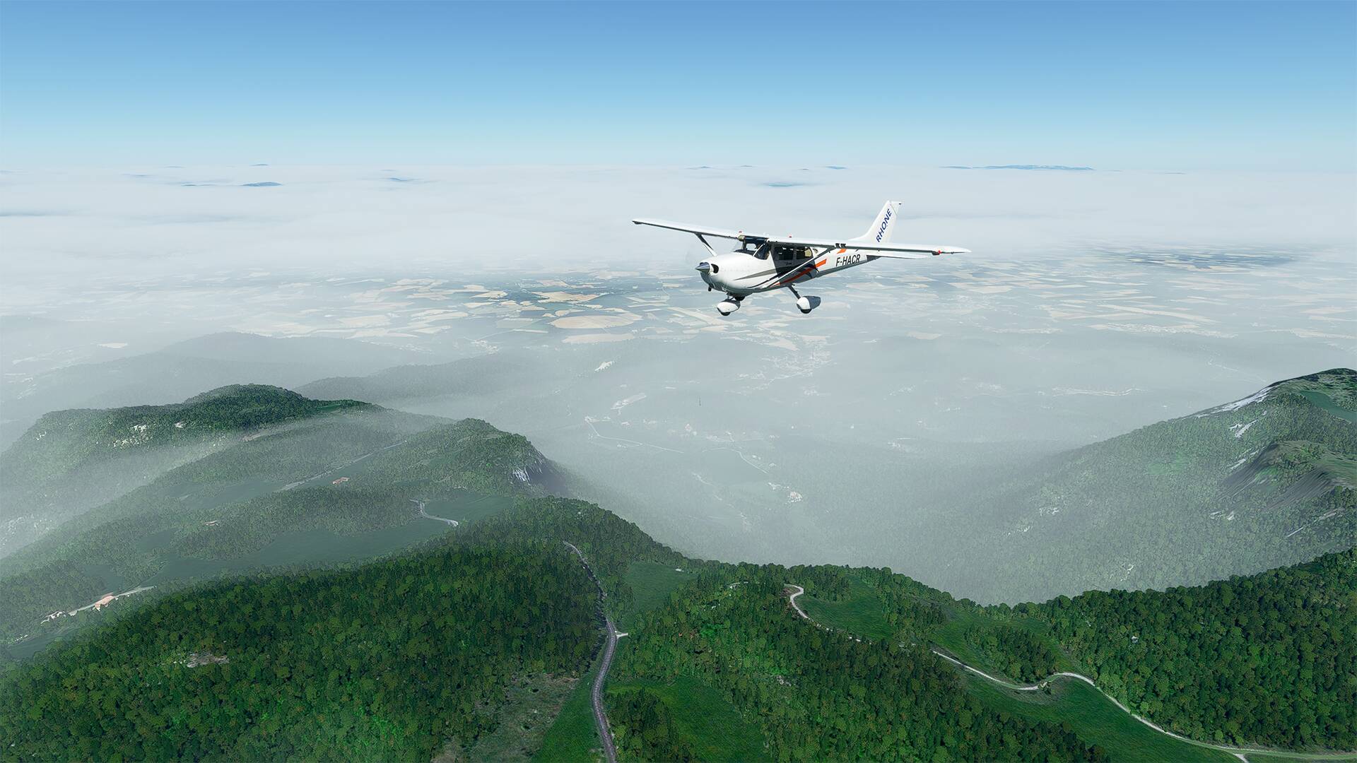
We continue with the ‘‘Puy de Pariou’’ which is located next to the ‘‘Puy-de-Dôme’’
(The puy Pariou sometimes called Puy de Pariou and more often, simply Le Pariou is a volcano of the chain of the Puys, in the Massif Central. Formed by the superposition of two strombolian cones and a ring of tuff, this set has produced three lava flows during its eruptive history).
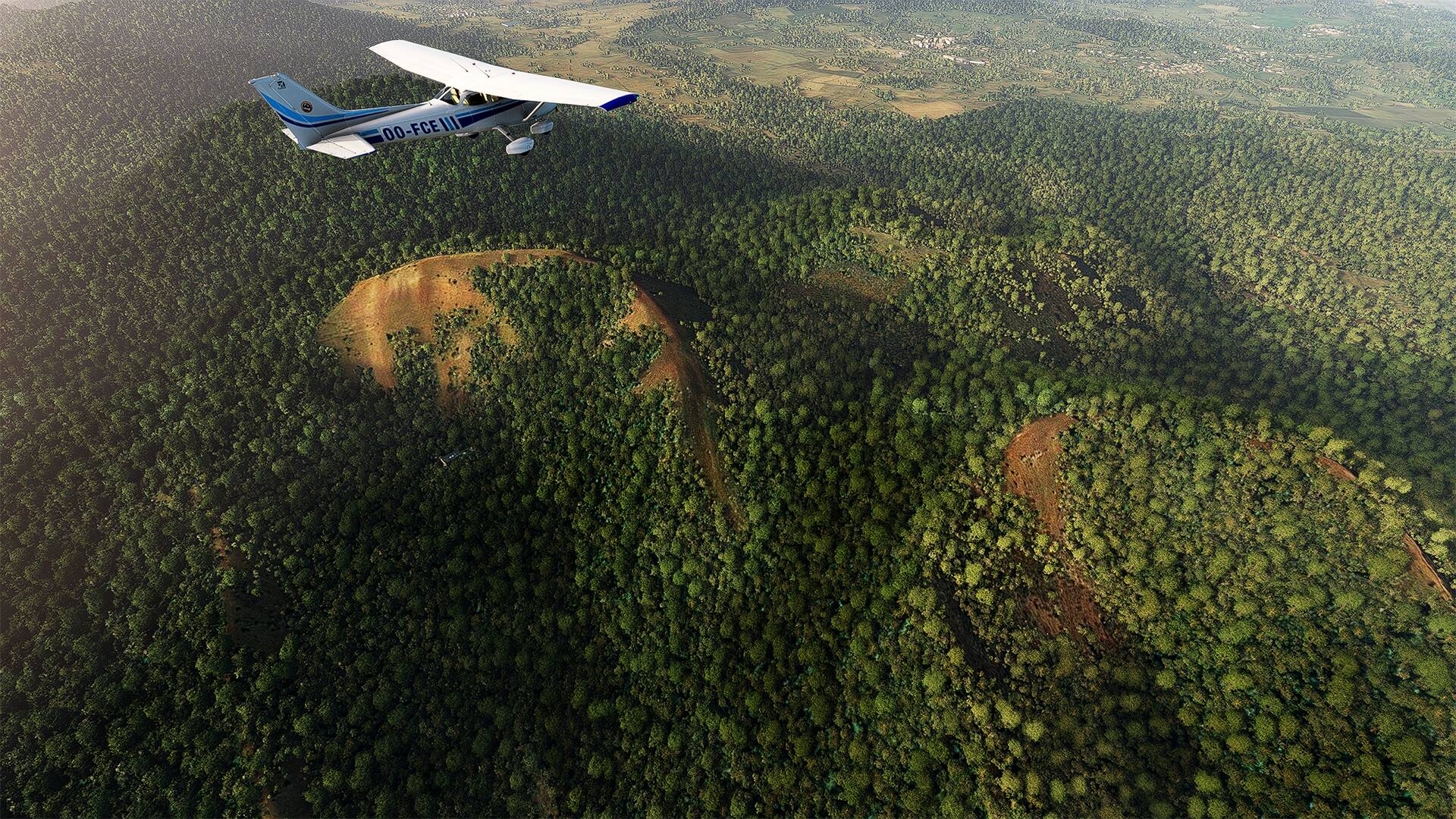
Le ‘‘puy de Lemptégy’’ est un volcan de la chaîne des Puys en Auvergne-Rhône-Alpes toujours potentiellement active (dite en sommeil). C’est aussi, par aménagement, un musée naturaliste présentant à ciel ouvert un intérieur de volcan excavé par une exploitation attentive des matériaux non ou peu cohésifs, ‘‘la pouzzolane’’, mettant ainsi en évidence l’architecture interne d’alimentation des bouches éruptives, à savoir les cheminées volcaniques centrales et un système de dykes latéraux

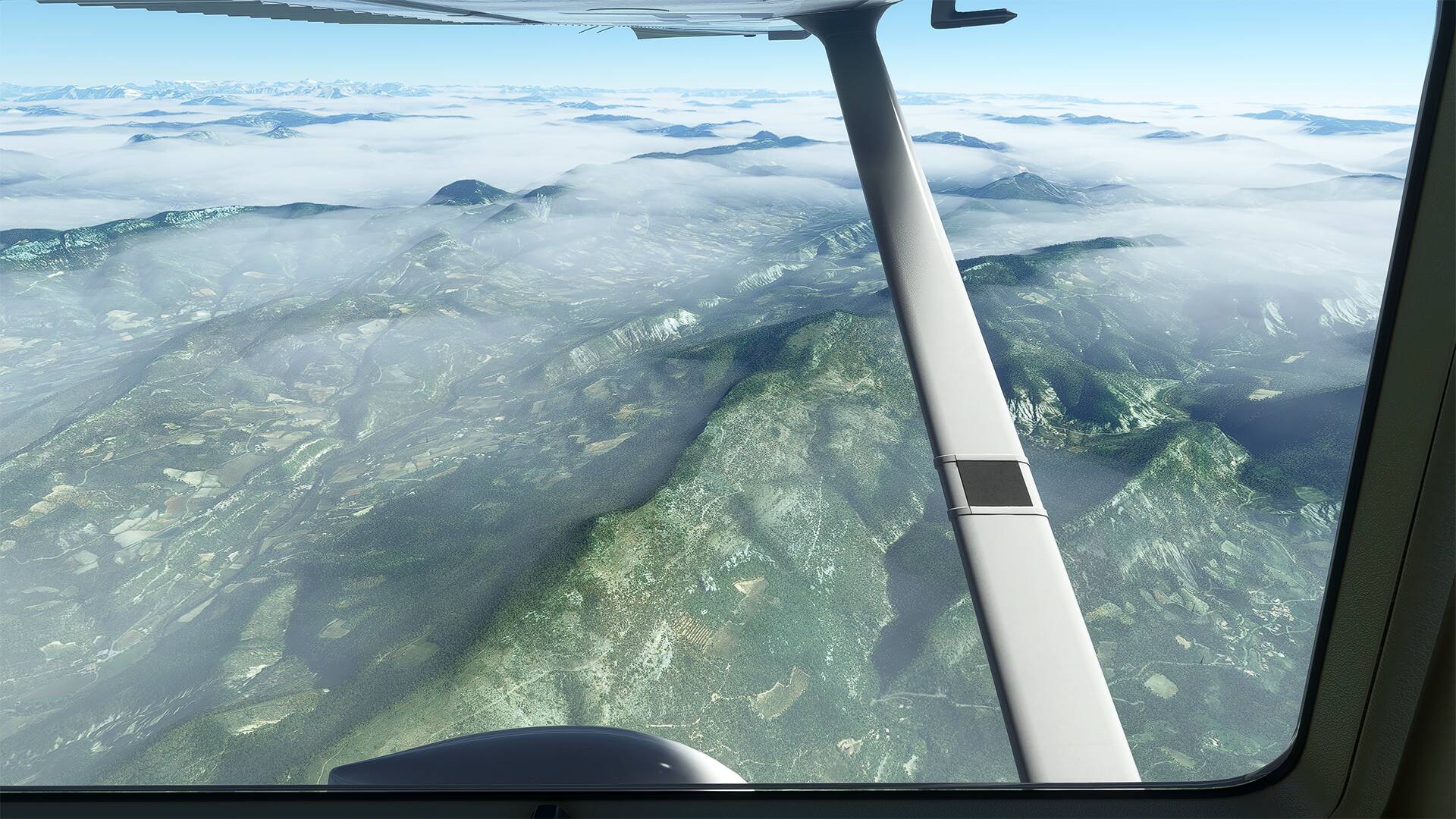
And an overview of the ‘‘Parc naturel régional des Volcans d’Auvergne’’.
To follow
2 Likes
Hello,
Sunset walk in the ‘‘Parc naturel régional des Volcans d’Auvergne’’ and at ‘‘Mont-Dore’’, an incredible experience


1 Like
Hello,
Some pictures of a flight towards the ‘‘Puy de Sancy’’ (not far from ‘‘the Puy de Dôme’’), where is located ‘‘Le Mont-Dore’’ which is a winter sports resort, it is one of the oldest French winter sports resort, its first cable car was inaugurated in 1937.
2 Likes
Hello,
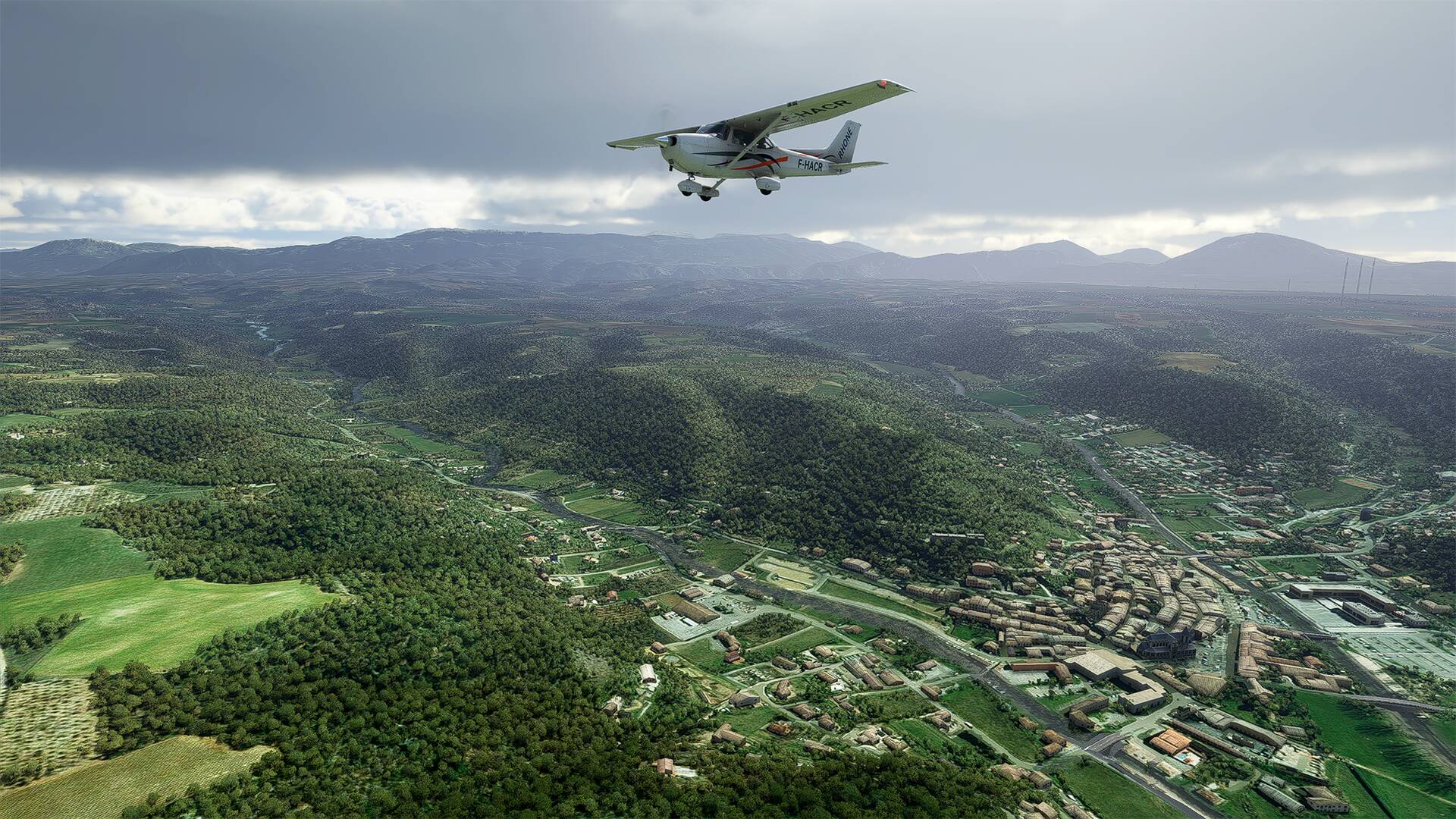
A small tour above Clermont-Ferrand and the ‘‘Ladoux Michelin Technology Center’’.
Michelin is a world leader in tire manufacturing. The French company has its headquarters in Clermont-Ferrand (Puy-de-Dôme).
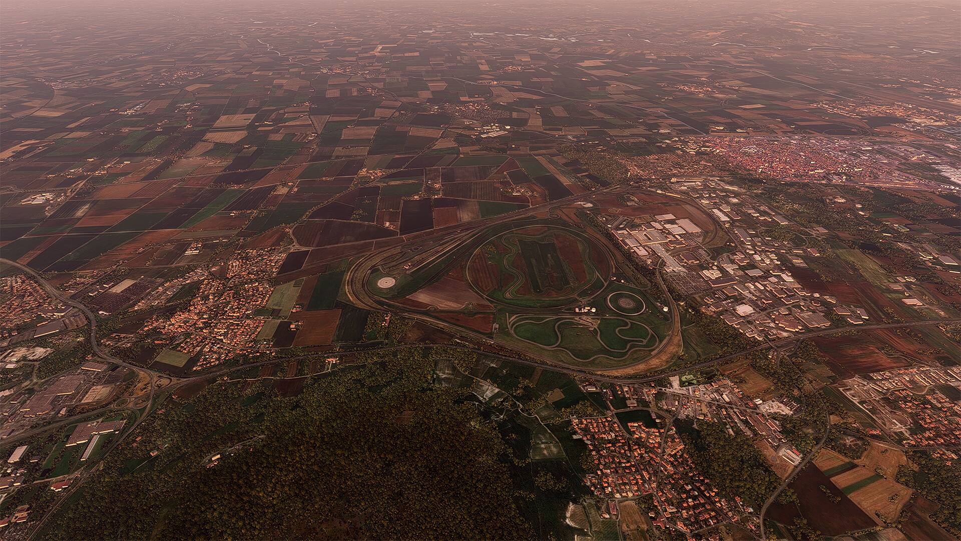
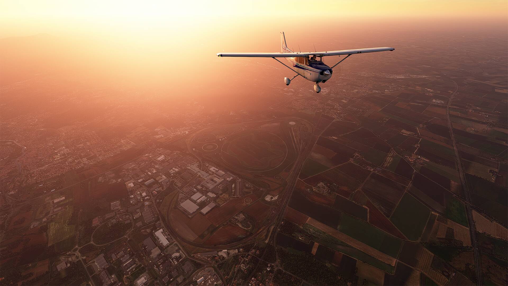


The circuit of Charade at the bottom of the picture and it is a French motor sports circuit located at Saint-Genès-Champanelle in the department of Puy-de-Dôme
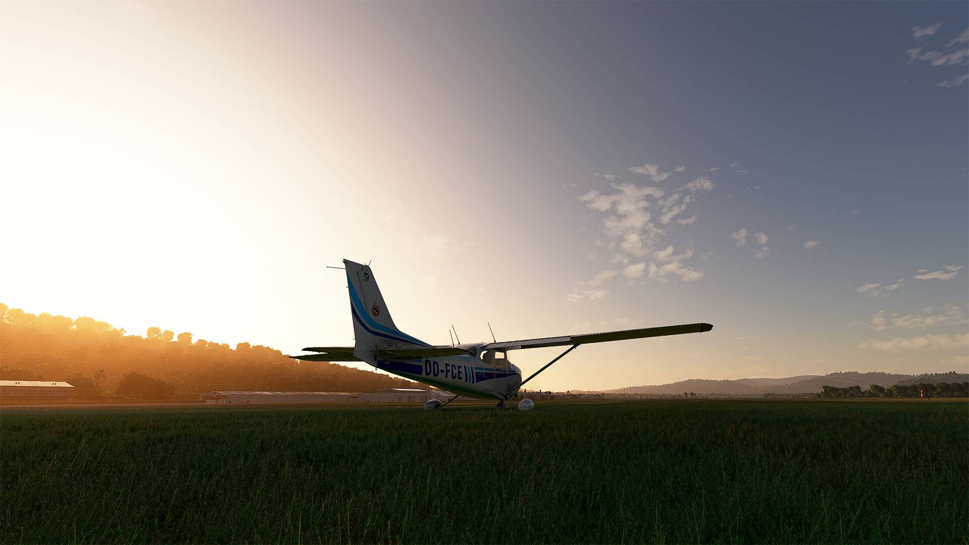
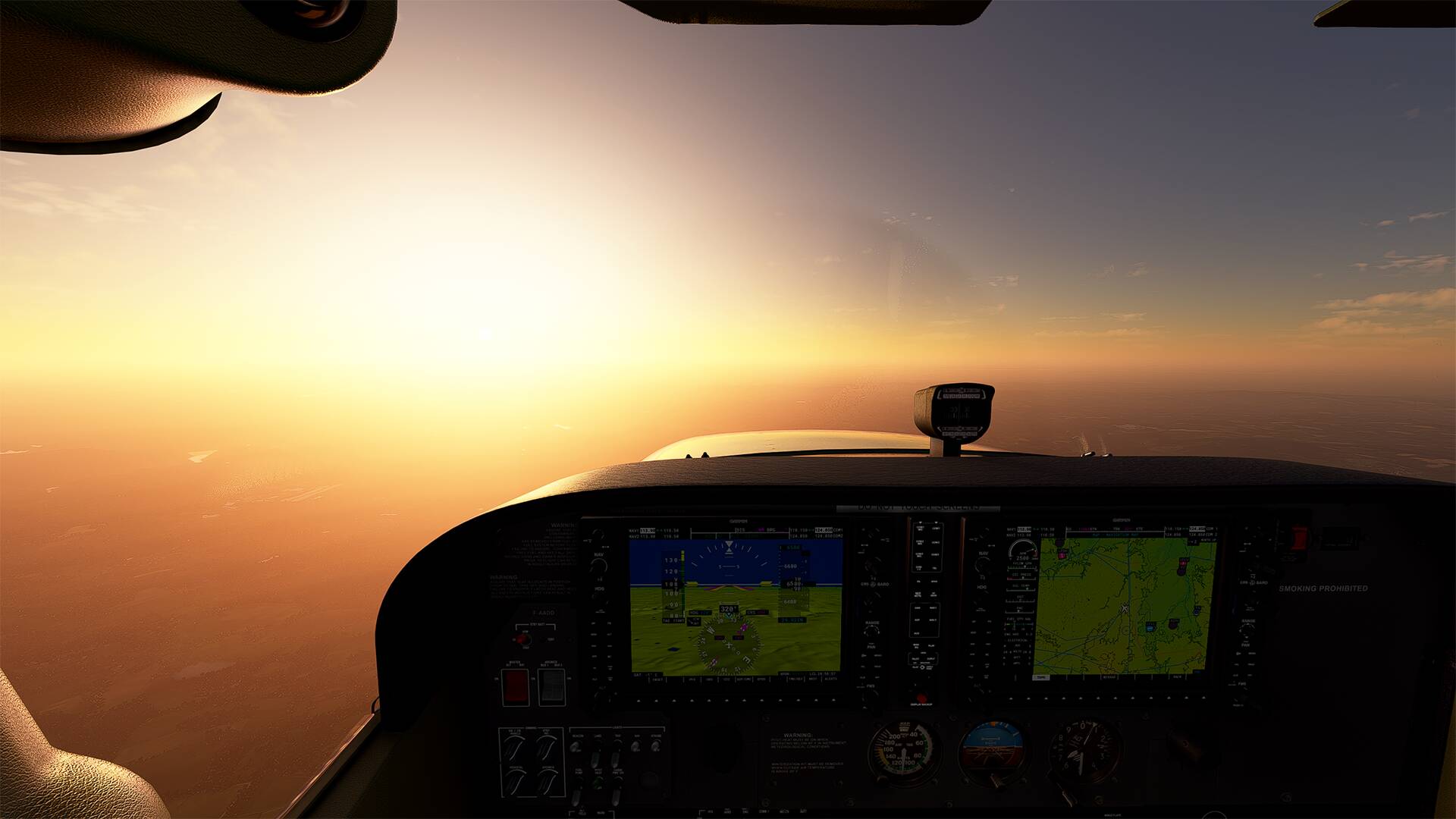
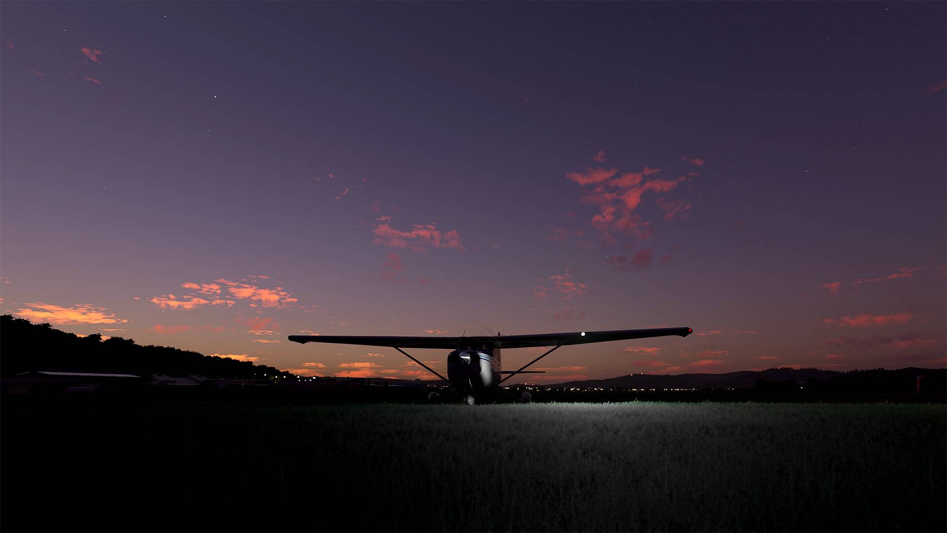
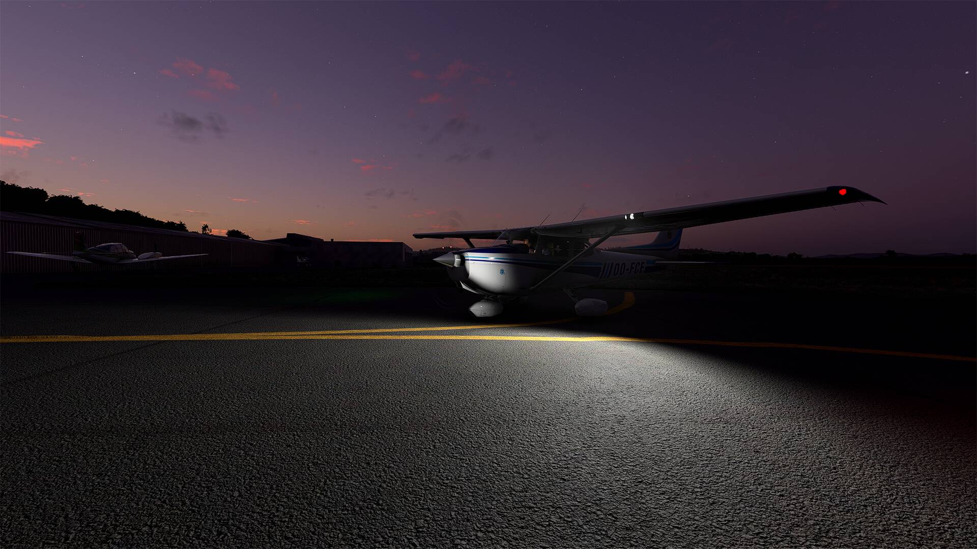
It’s time to go home before it gets dark, we are not far from the airfield, we should be there just before sunset

I will join the highway ‘‘A75’’ and follow it to the landing strip.


I see the airfield and the runway, a soft landing and that’s all for today
See you soon
1 Like
Biarritz and Bayonne ![]()
Thanks Spacewolf1 ![]()
Hello,
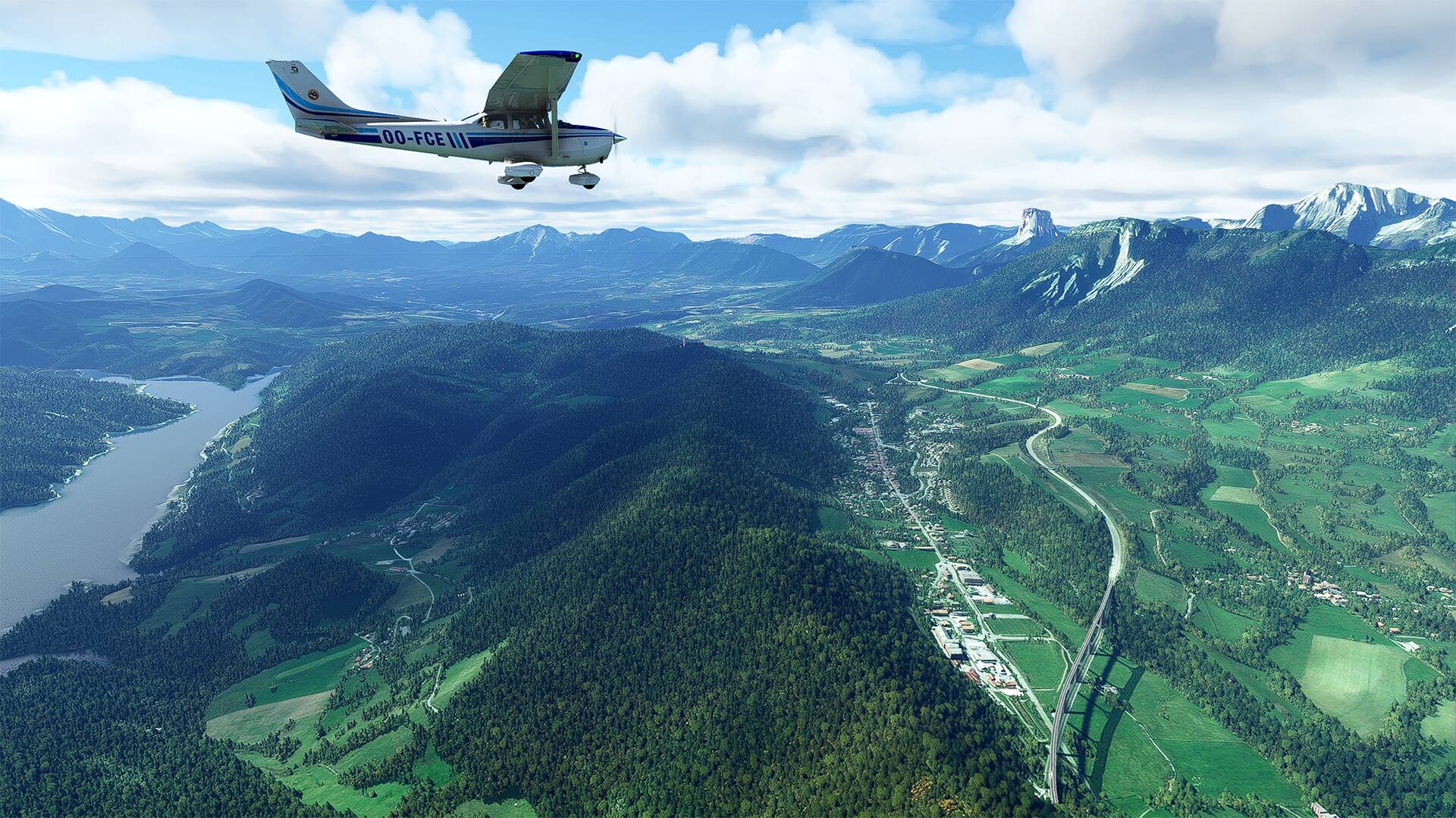
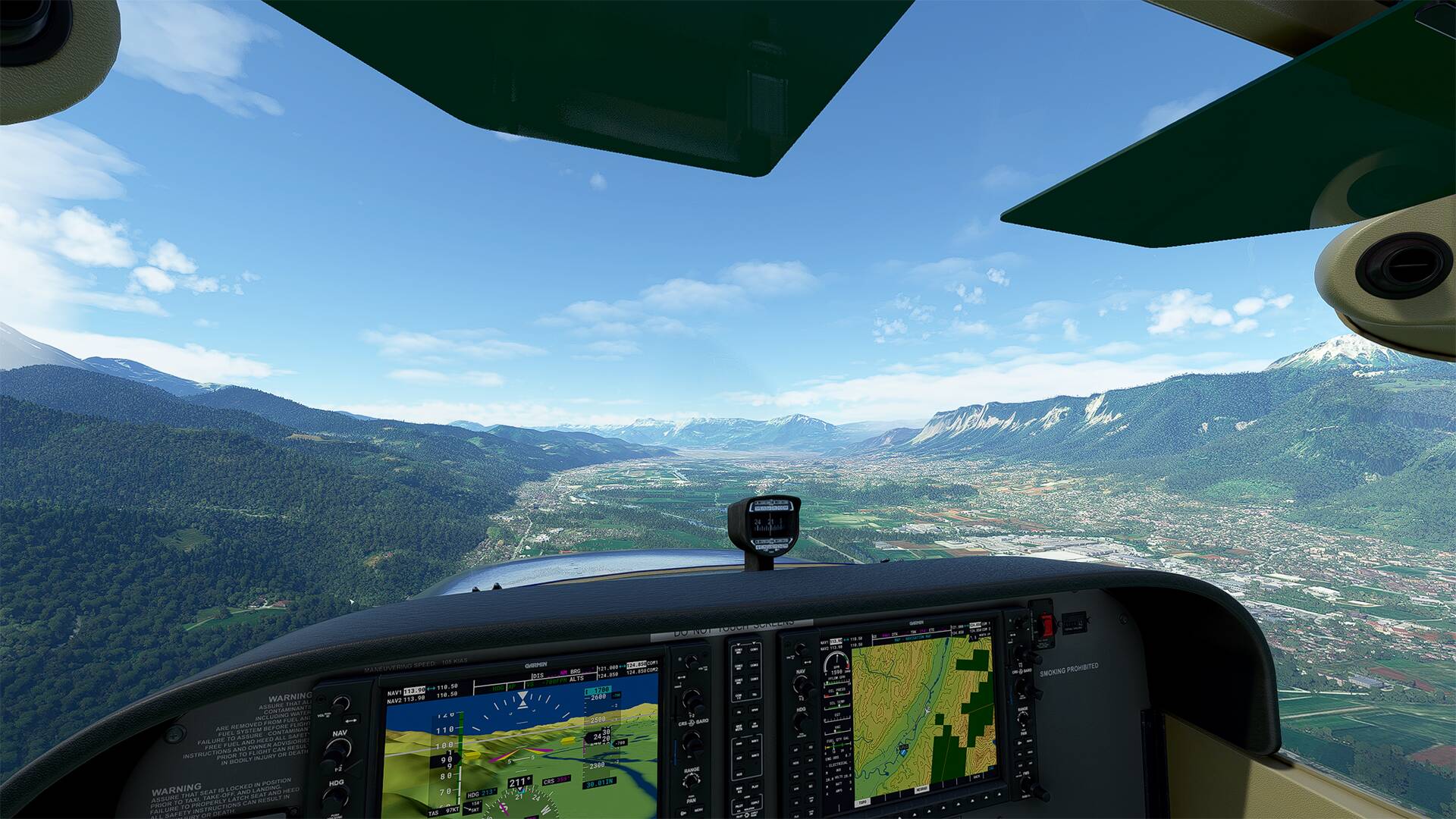
Departure from the ‘‘Aérodrome Grenoble Le Versoud’’ for a walk in the surroundings of the ‘‘Parc national des Écrins’’.
The airfield is located along the Isère River, a major tributary of the Rhone River in southeastern France.
We can see the “Chêne de Venon” at the top of the hill (bottom right of the picture) and just after the blue roof of a hangar that runs along the “chemin du vieux chêne”.
The commune of Vizille
the commune of ‘‘Séchilienne’’ in the distance, the river ‘‘La Romanche’’ and the departmental road ‘‘D591’’ which connects Grenoble to the ski resorts of the Oisans.
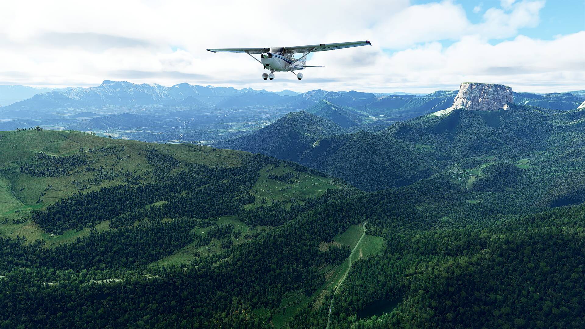
The mount Aiguille in the distance located on the commune of Chichilianne, and which is an advanced tooth of the Eastern cliff of the massif of Vercors
On the left ‘‘The lake of Monteynard’’ and on the right the freeway ‘‘A51’’ with the commune of ''Monestier-de-Clermont
The ‘‘Mont Aiguille’’ which is one of the seven wonders of the Dauphiné.
The dam of ‘‘Notre-Dame de Commiers’’ at the bottom of the picture.

The ‘‘Parc naturel régional du Vercors’’ on the right of the picture and on the left the commune of ‘‘Claix’’ with the river ‘‘Le Drac’’.

The Grand Serre (2141m) and Pérollier (2183m) and at the bottom left of the picture the ski resort ‘‘Alpe du Grand Serre’’ and the commune ''La Morte

The ski resort of Chamrousse is located at the tip of the Belledonne massif, 30 km from Grenoble.
The ‘‘Vallée du Grésivaudan’’ in all its splendor with ‘‘Grenoble Le Versoud Aerodrome’’ in the distance.
About ‘‘La Vallée du Grésivaudan’’, Louis XII called it ‘‘the most beautiful garden in France’’. This ancient glacial valley, halfway between Grenoble and Chambéry, offers its visitors a grandiose setting.The Grésivaudan Valley follows the course of the Isère.
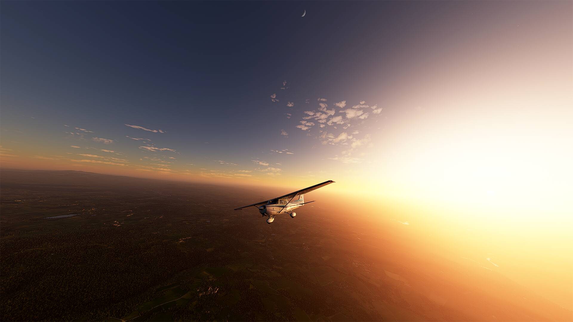
Another beautiful walk with a favorable weather this time

Beautiful landscapes


See you soon
2 Likes
Hello,
Since a few days I make small flights without flight plan, just to admire the landscape, on the pictures below I am in the area of ‘‘Puy de Dôme’’ and in the surroundings of ‘‘Mandelieu-la-Napoule’’ and ‘‘Nice’’.
See you soon

See you soon
1 Like
Hello,
My next flight will be around ‘‘Besse-sur-Issole’’ which is a commune located in the department of Var, in the region Provence-Alpes-Côte
See you soon
1 Like
Hello,
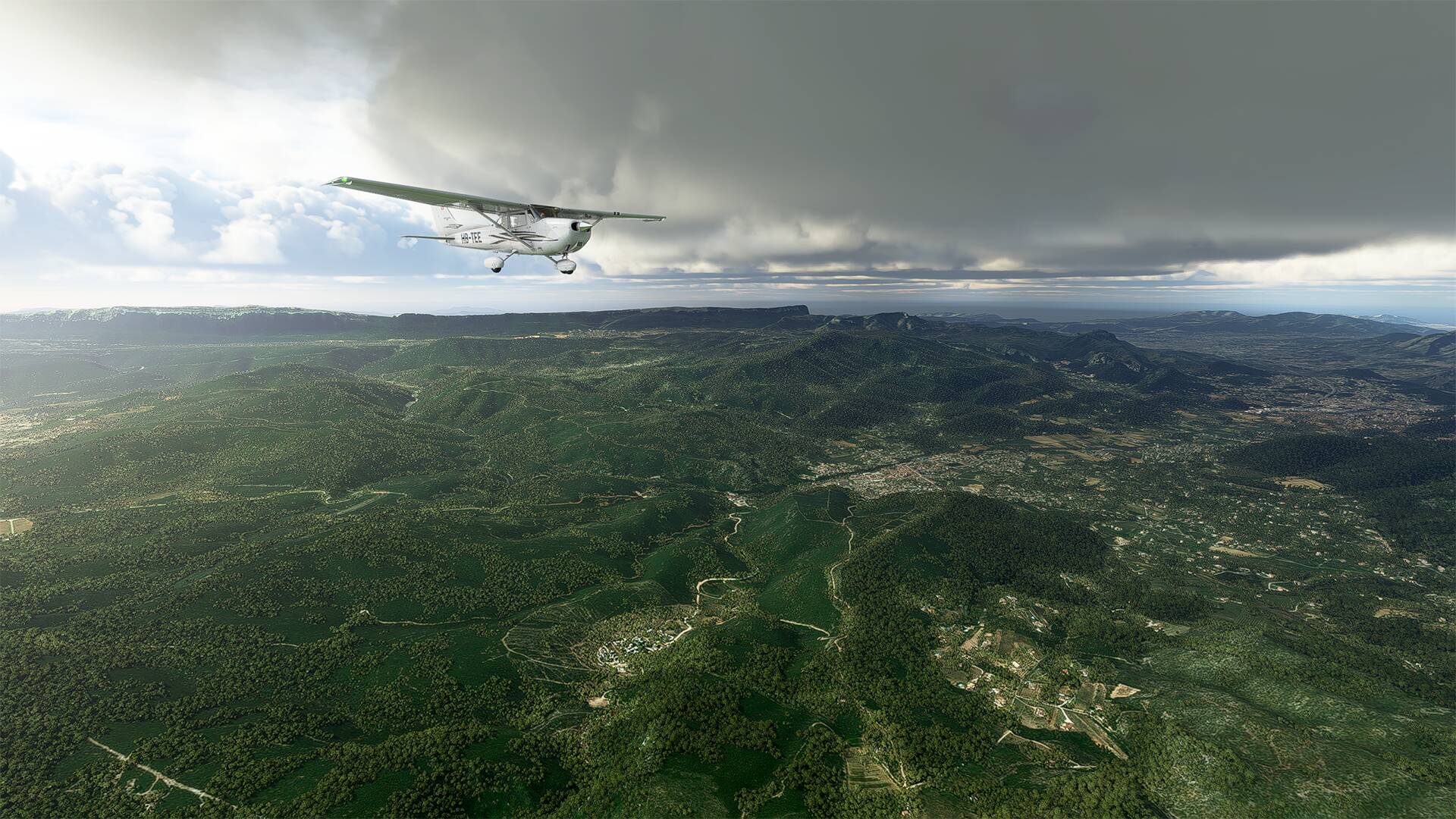
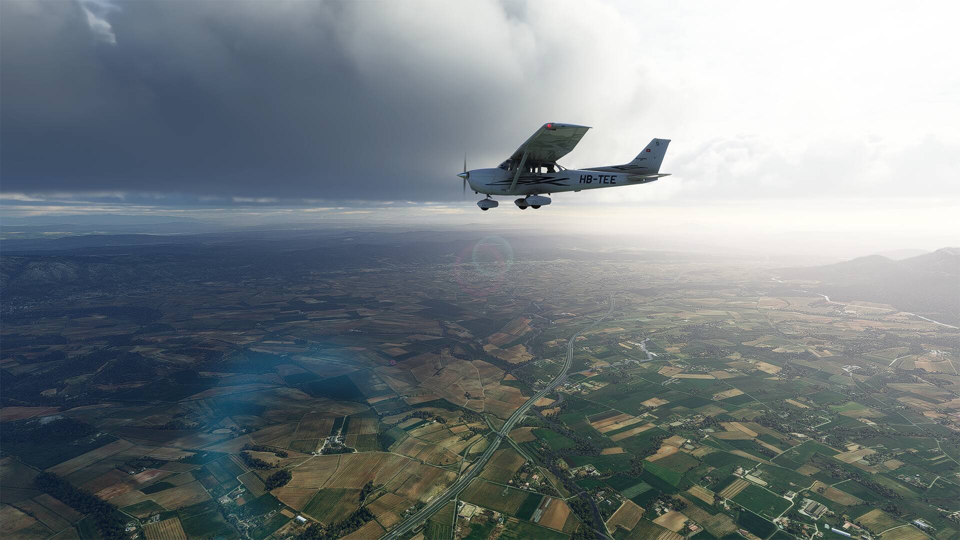
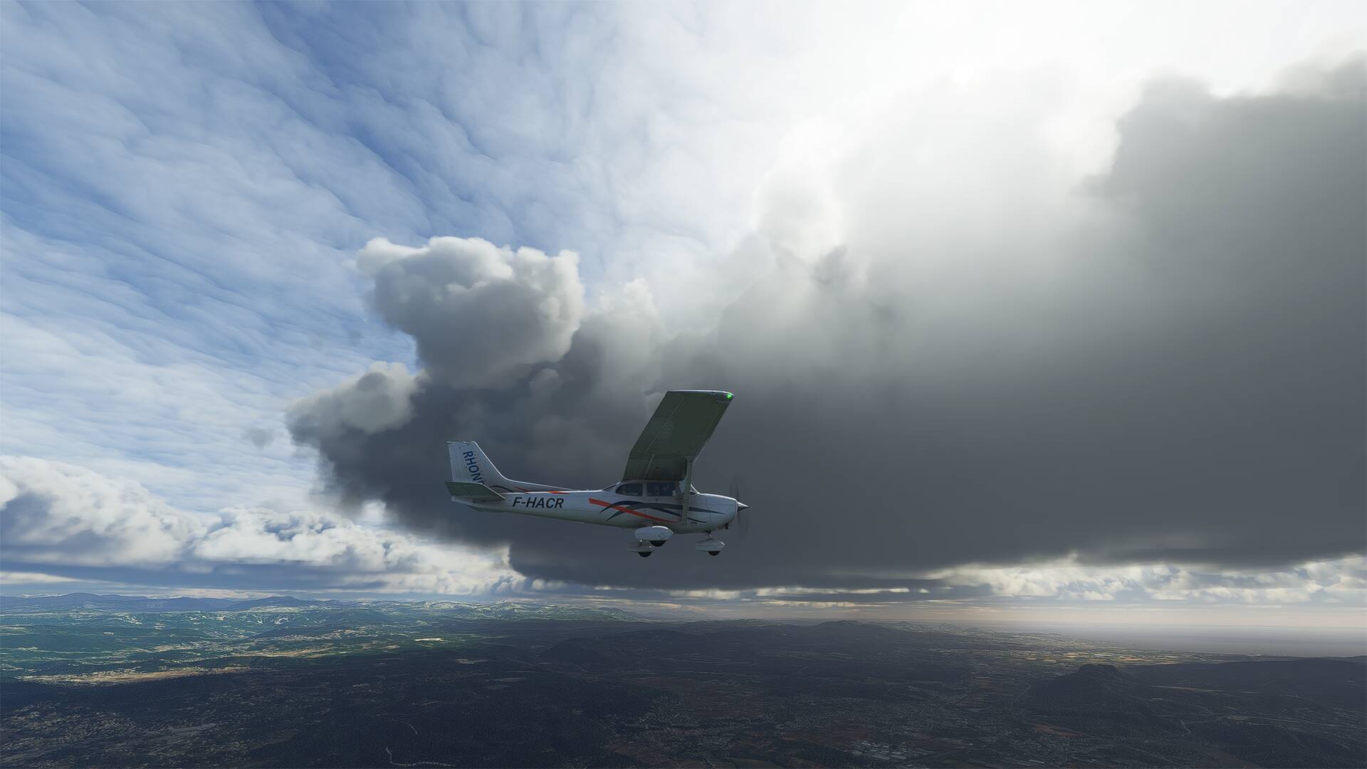
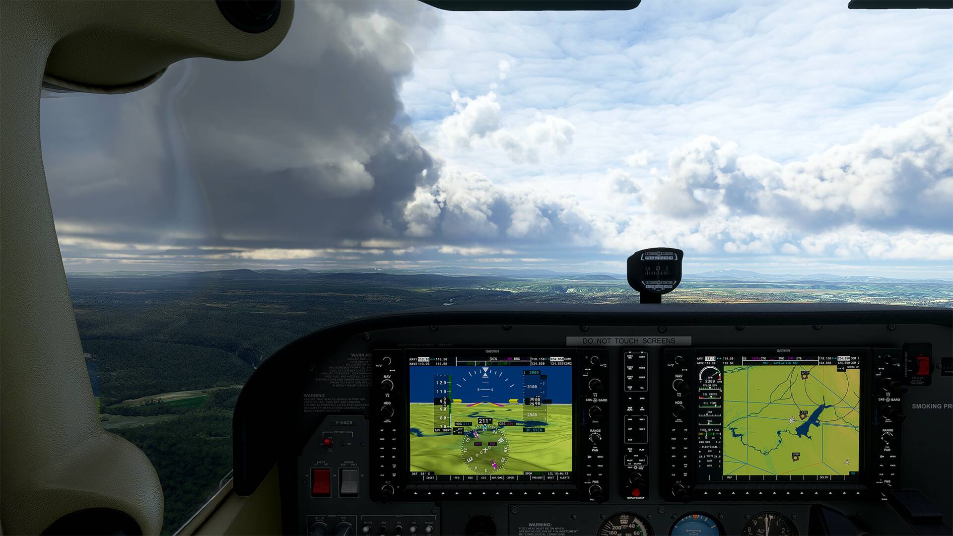
I did the flight 2 times with different weather to enjoy the landscape and its relief.
I used SoFly Weather Preset Pro for the weather
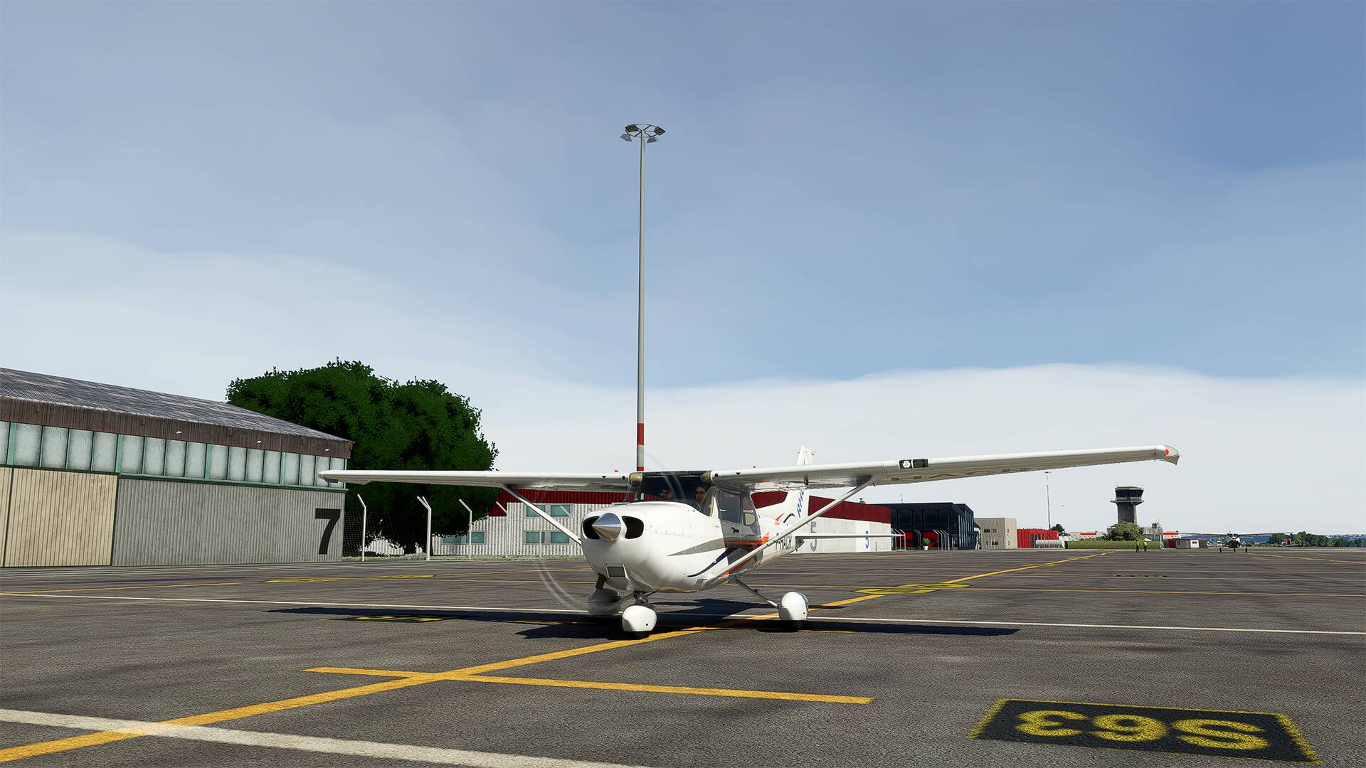
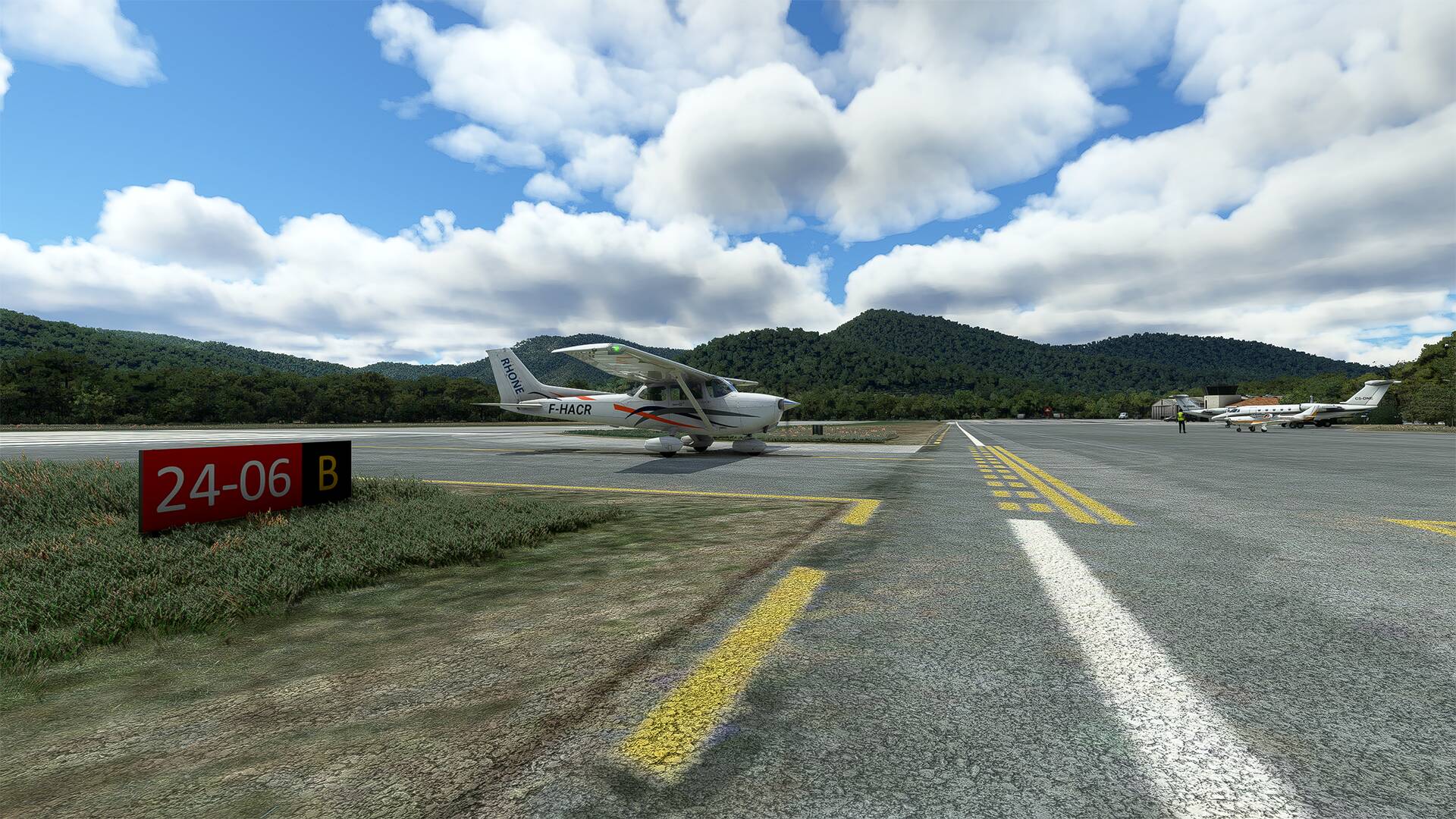
Aircraft livery : Aéro-club du Rhône (flightsim.to)
https://flightsim.to/file/15265/c172-r-n5206s-aeroclub-du-rhone
Redwing Sim Lyon Airport and Aerosoft Airport St. Tropez for the airports
France vfr - VFR obstacles & landmarks v4
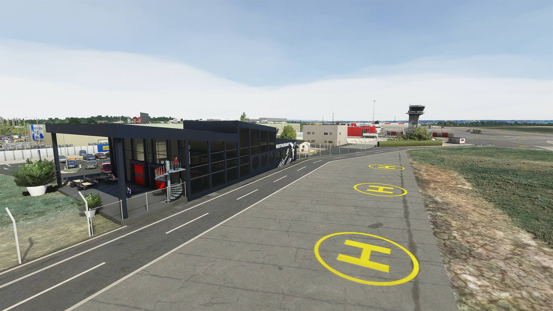
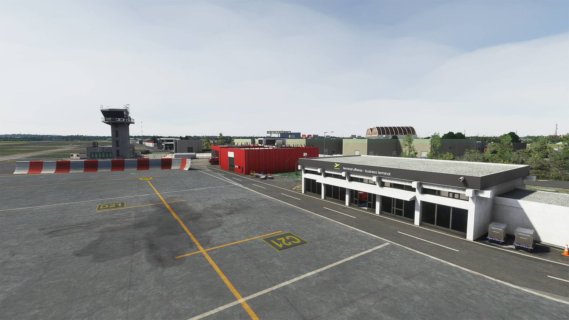
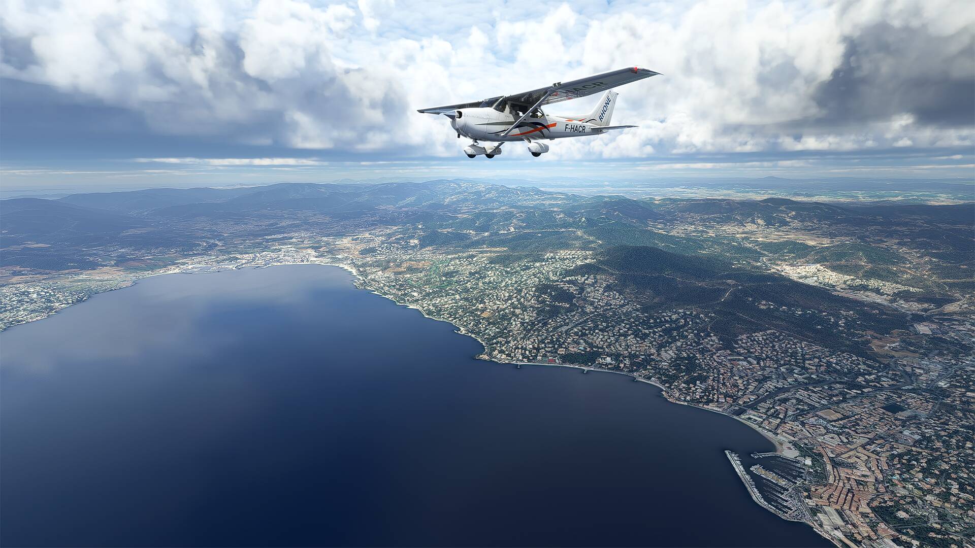
Departure from ‘‘Lyon-Bron Airport’’ (LFLY) and direction ‘‘La Môle - Saint-Tropez Airport’’ (LFTZ)
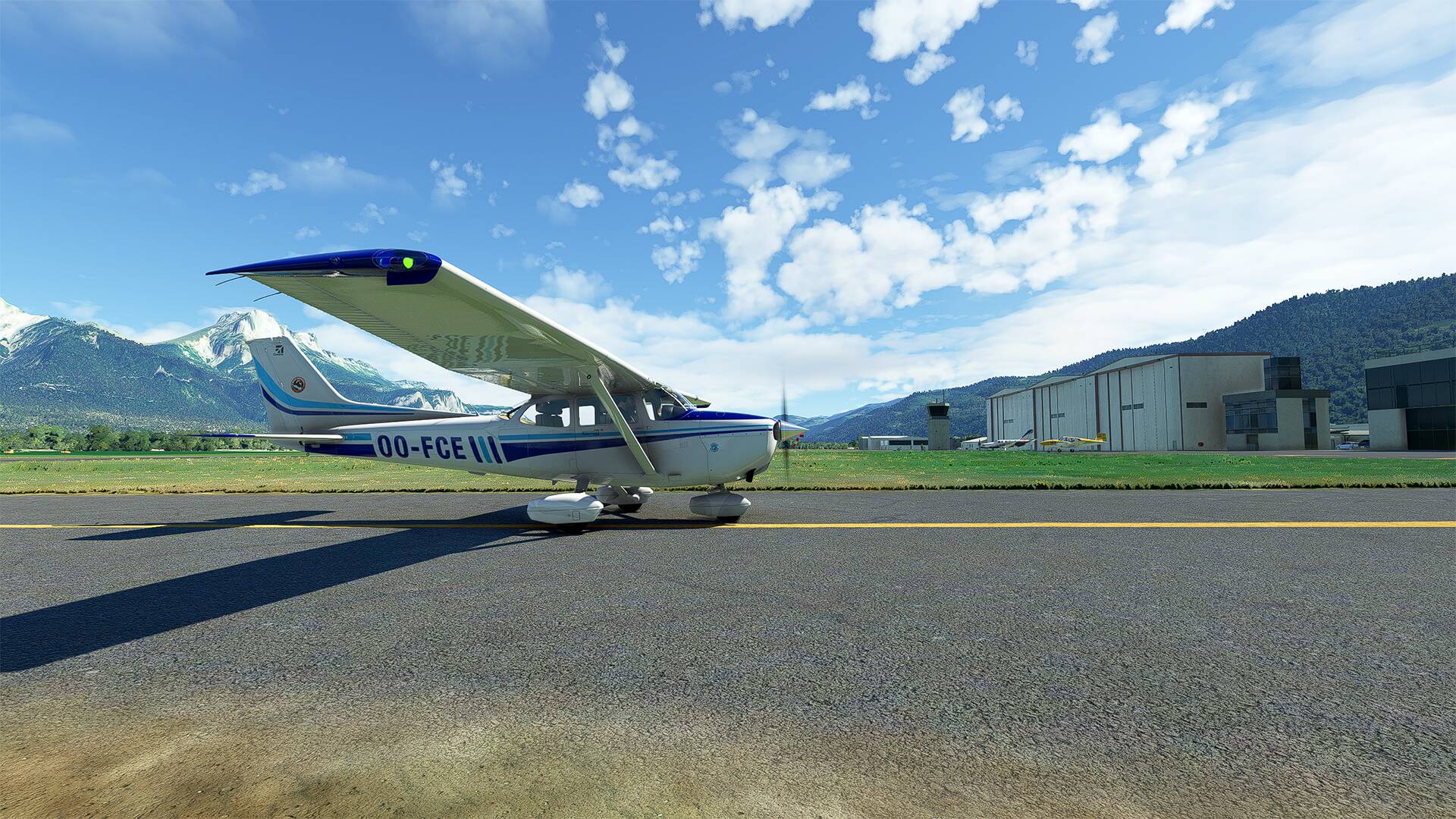
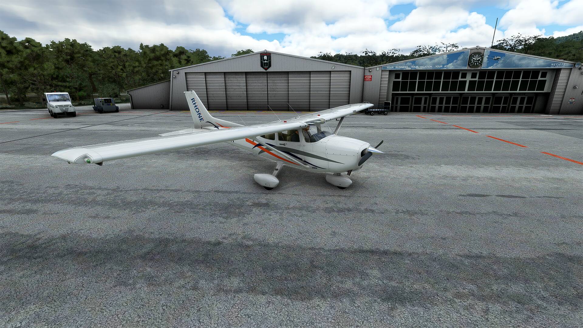
The offices of ‘‘L’Aéro-Club du Rhône et du Sud Est’’ located at ‘‘L’aéroport de Lyon-Bron’’.
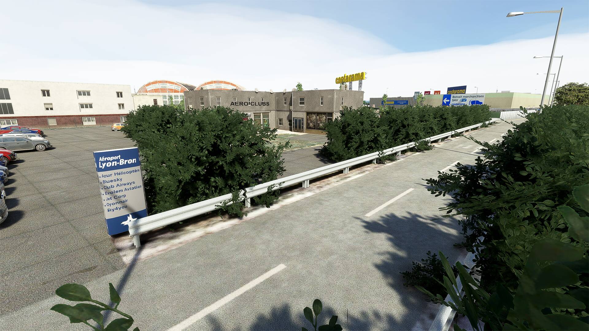
And one of their Cessna 172 that I will rent for this flight and which is on their tarmac at ‘‘L’aéroport de Lyon-Bron’’.
We move away from Lyon
This region offers us a bucolic landscapes, and this is a nice flight with a varied landscape that I recommend.


The ‘‘Mont Ventoux’’ which is a peak located in the French department of Vaucluse in the Provence-Alpes-Côte d’Azur region. Culminating at 1 910 meters, it is about 25 kilometers long on an east-west axis for 15 kilometers wide on a north-south axis. Nicknamed the Giant of Provence or the Bald Mountain, it is the highest point of the Vaucluse Mountains and the highest peak in Vaucluse.
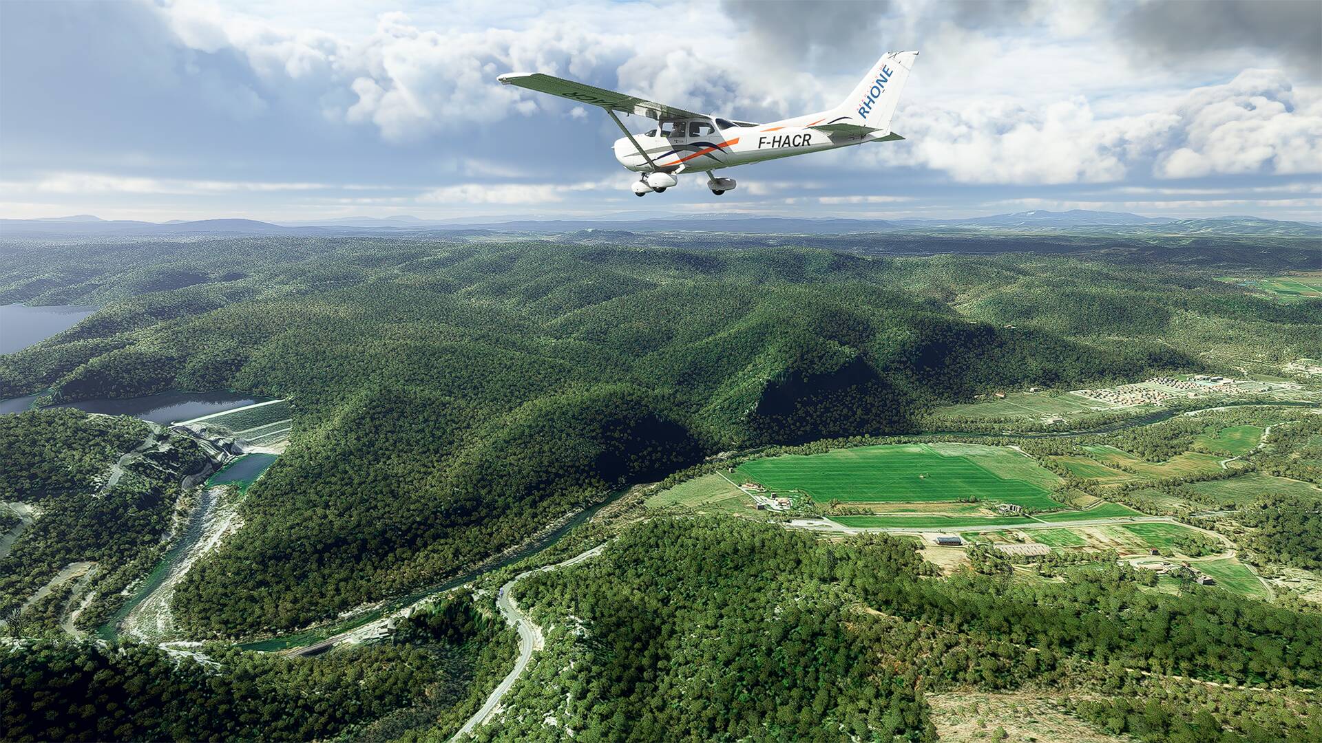
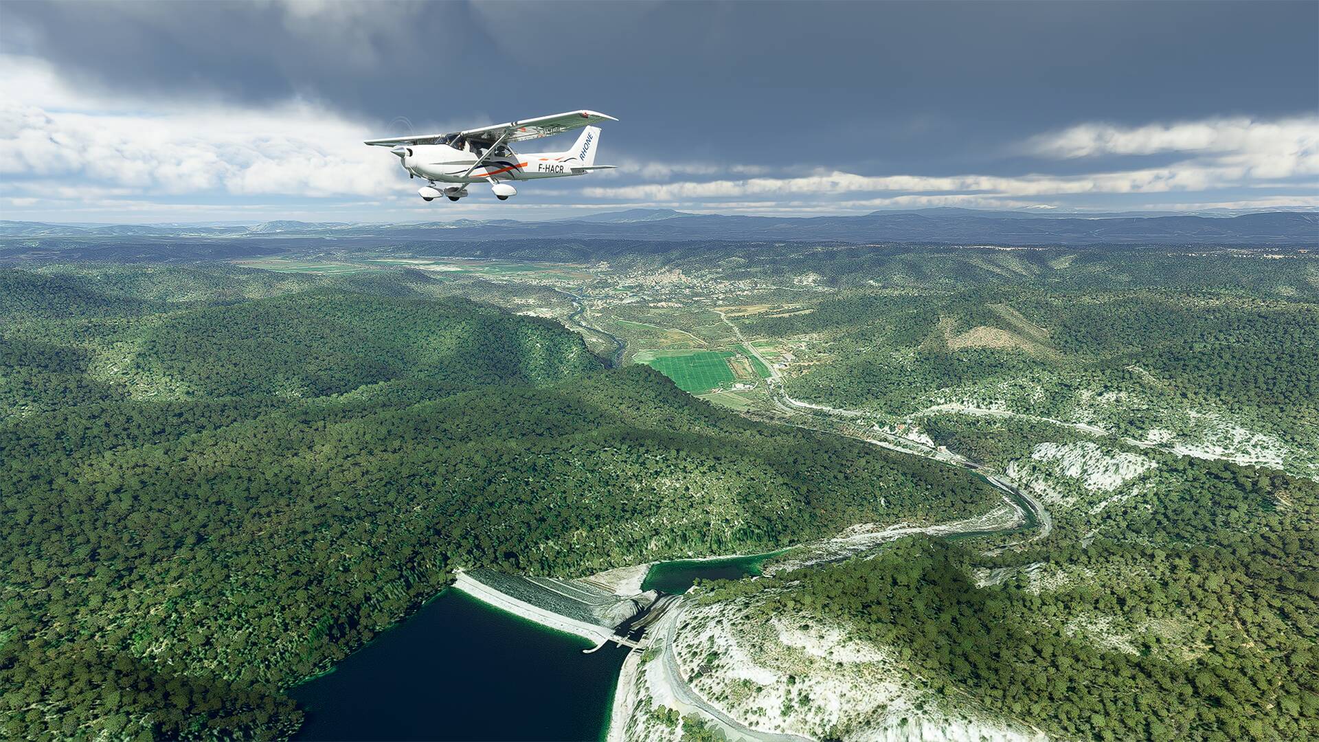
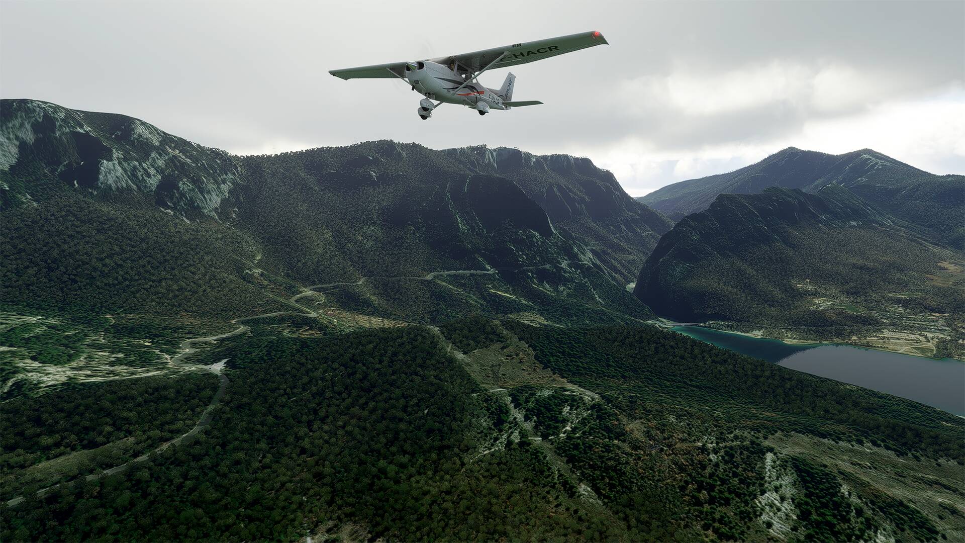
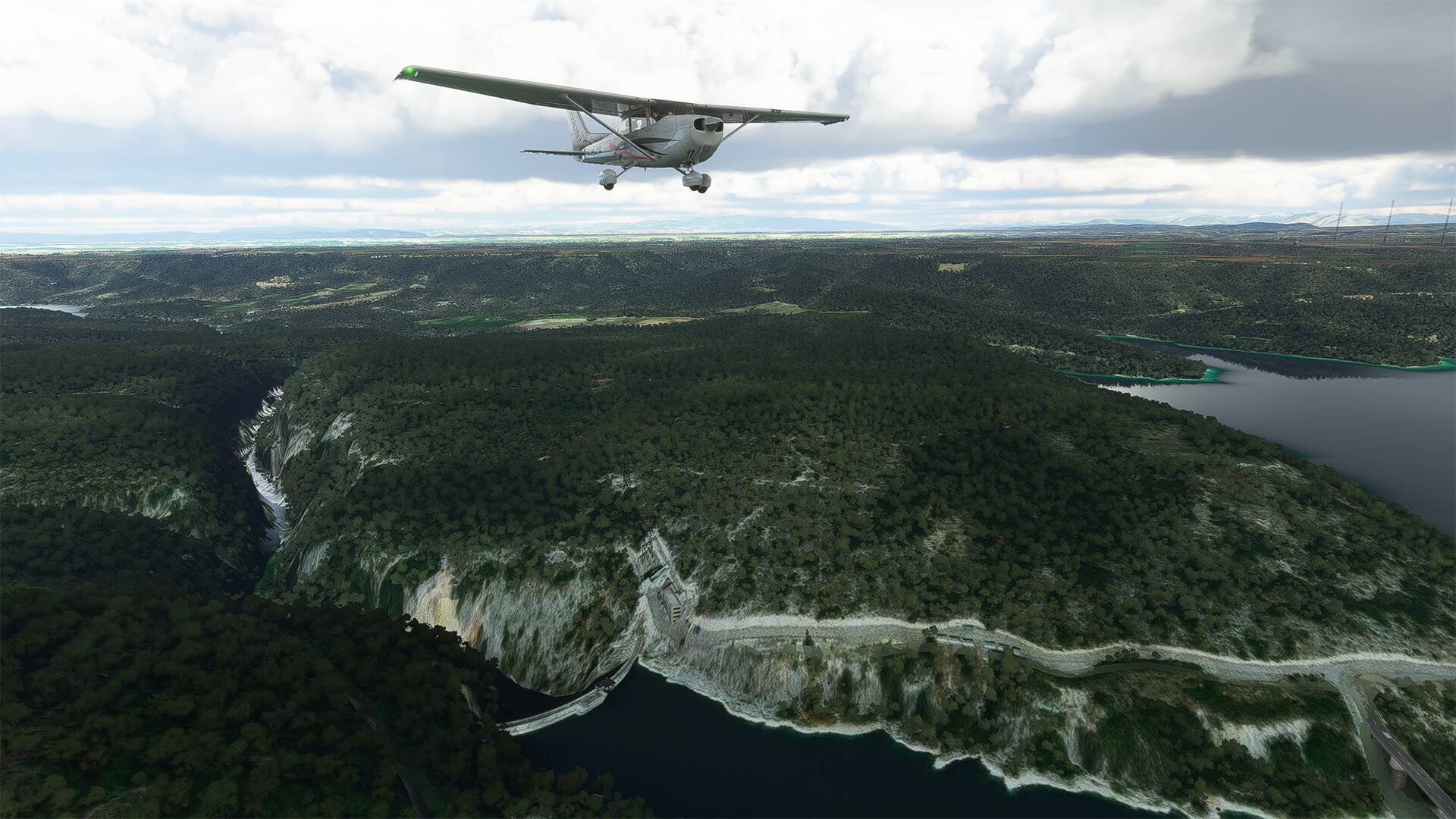
I took the opportunity to go to the ‘‘Lac d’Esparron’’ and to the ‘‘Lac de Sainte-Croix’’ (The lake of Sainte-Croix is an artificial reservoir, put in water by Electricity of France in 1973, following the construction of the dam of Sainte-Croix, on the course of the Verdon), we distinguish on one of the images the ‘‘Pont du Galetas’’ (The Bridge of Galetas is a road bridge upstream of the Lake of Sainte-Croix), it makes the junction between ''The entrance of the Gorges of the Verdon and ‘‘The lake of Sainte-Croix’’.

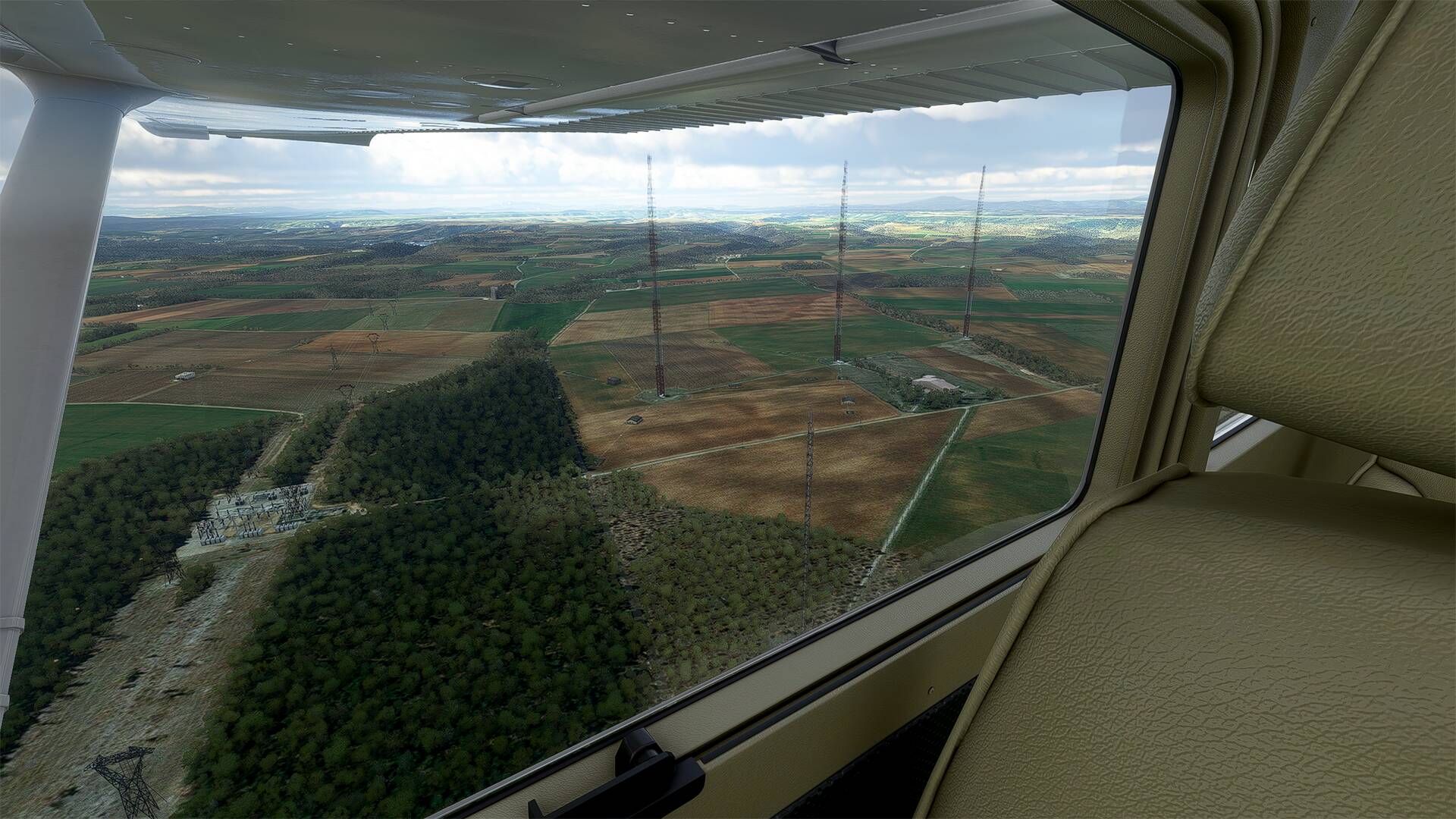
Not far from there, there is ‘‘l’Émetteur de Roumoules’’, (The transmitter center of Roumoule diffused on the big waves, from July 15, 1974 to March 28, 2020, the program of Radio Monte-Carlo (RMC), It is located at an altitude close to 600 meters on the territory of the commune of Roumoules)

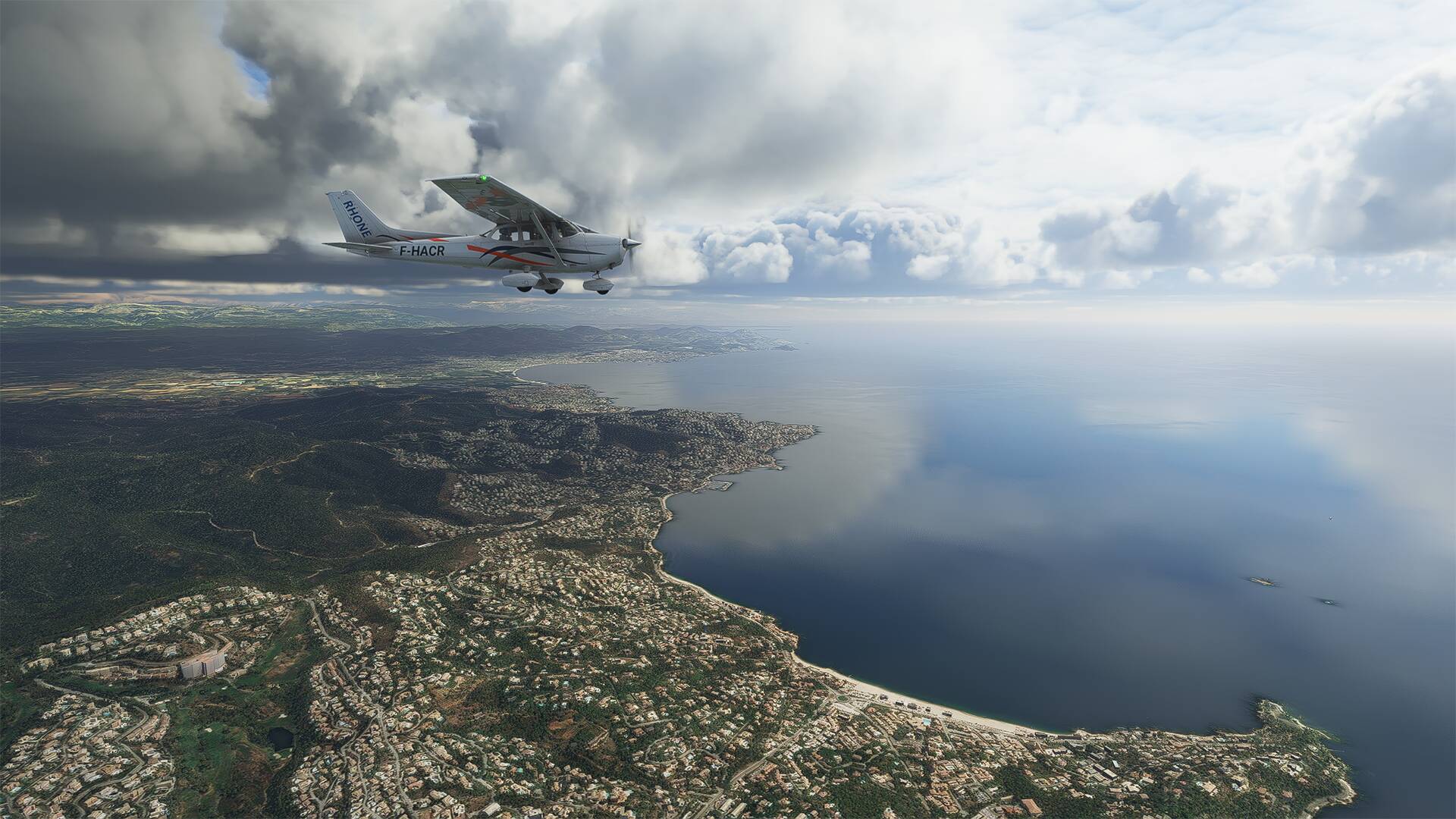
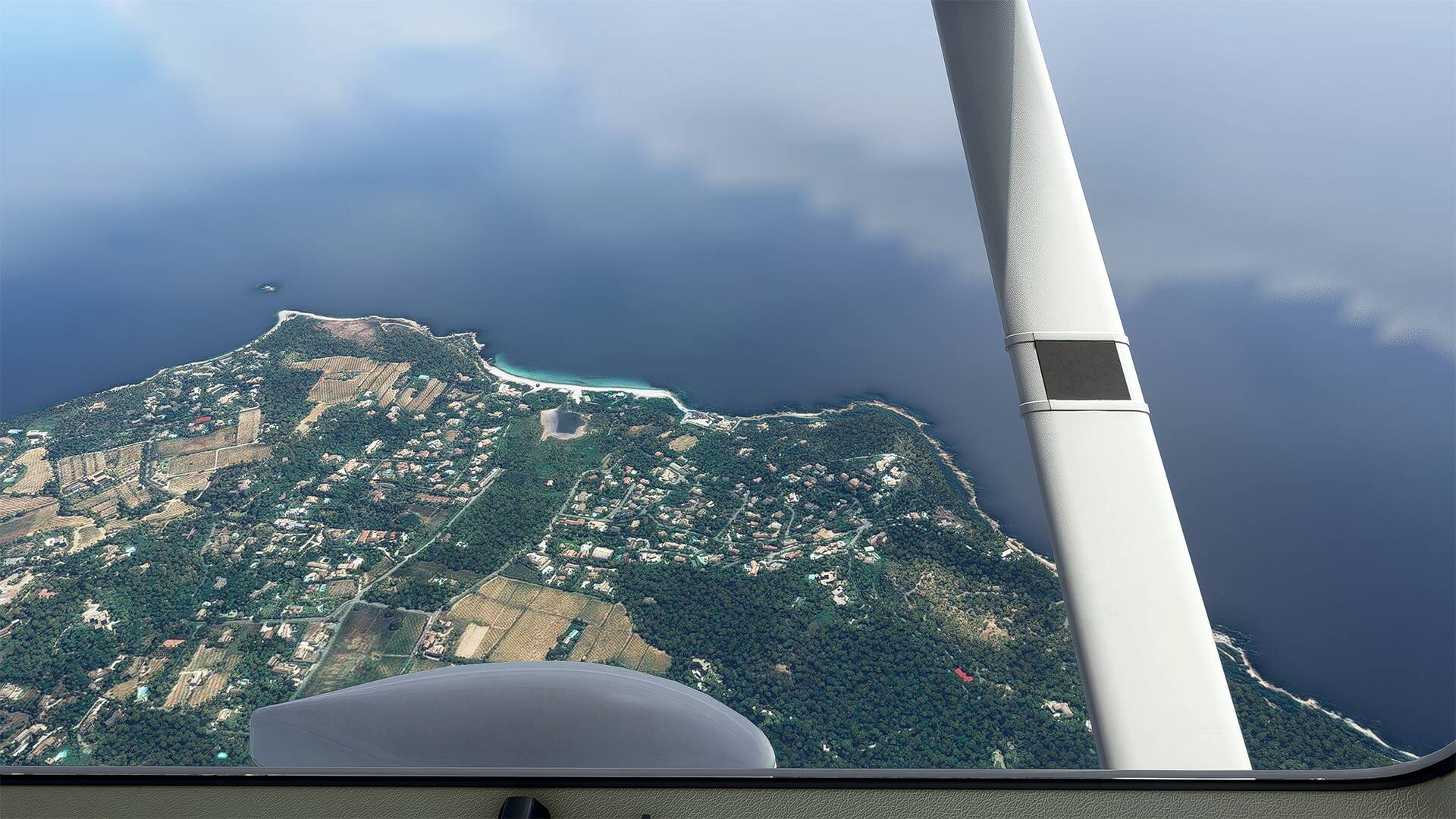
After that, I fly towards the ‘‘Le golfe de Saint-Tropez’’.
You can see ‘‘Le golfe de Saint-Tropez’’ which is a gulf of the Mediterranean Sea and is located in the Var in France.

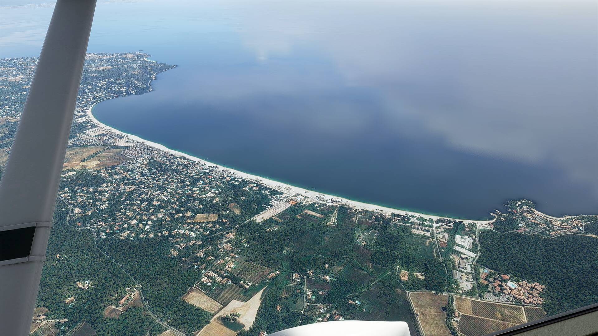
I fly over the city of ‘‘Sainte-Maxime’’ and look at the coast on each side.
We see in the background the lake city of ‘‘Port Grimaud’’ built from 1966.
The ‘‘plage de La Moutte’’, which is the wildest beach in Saint-Tropez and everything is done not to find it!
The ‘‘Plage de Pampelonne’’, made famous by Brigitte Bardot in the 50’s, the beach of Pampelonne is perfect for a day of tranquility, feet in the water or on the terrace, you can see the restaurants on the beach and in particular the ‘‘Byblos Beach’’.
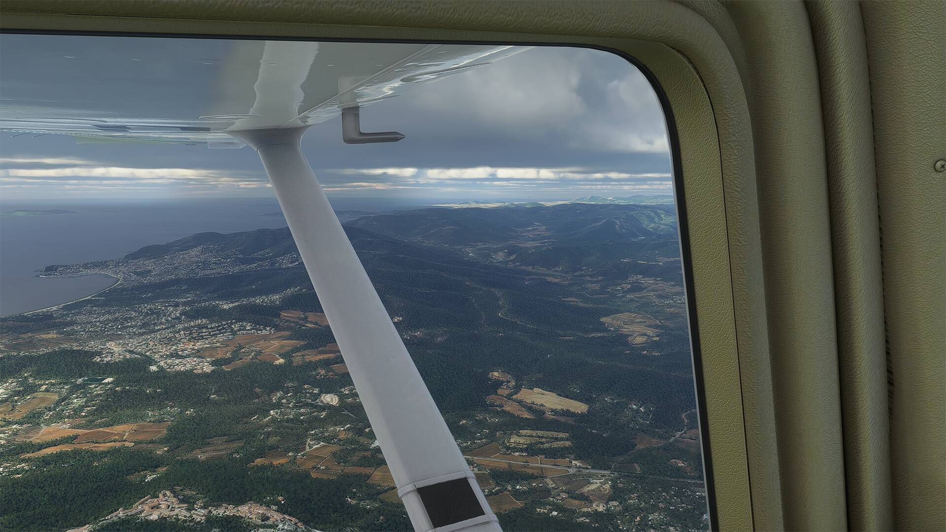
I see the airport of La Môle - Saint-Tropez, I will take advantage of this day to go and see the famous gendarmerie of Saint-Tropez which has become a museum.
See you soon
2 Likes
Awesome !! I’m pretty sure our instructors will enjoy this pictures ! ![]()
Thanks Oz737x ![]()
Hello to all,
Since a few days I practice the TBM930,
I mostly used the Overkill videos with the TBM-930 Improvement Mod and there are also the videos of Steve with his TBM850 in Miami who gives advice.
And I’m going to try to make videos of 5 minutes or less of my flights
I made one in the evening, to test and practice, it was a flight of 54 minutes in the French Overseas Departments and Territories, that I condensed into 3 minutes, it is not easy to do.
Available in 1440p, Video test.
I will feed my thread with videos in French territory
See you soon
Hello to all,
Sorry, I don’t have time to visit you on the forum, I have busy weeks with transportation all over France and my brand new TBM-930.
Here are some pictures taken during my flights, I use the live weather,


today I chose a flight between LFOQ - BLOIS Le-Breuil and LFRS - Nantes Atlantique Airport after checking where it was raining in France.

See you soon
Hello,
A trip from Nantes (LFRS) to Guernsey island (EGJB) and we fly over Saint-Malo.


See you soon
Hello,
Small trip in TBM and Cessna in the surroundings of Montpellier (South of France)


and the bay of Somme (Picardy coast)


See you soon
Hello,
I intend to work for a company and I’m hesitating between Dexter and LoganAir


See you soon
Surprising for Bay of Somme… when I flew there in april their was more water…
Would the tide be managed (a secret feature ![]() ) ?
) ?
Update of it (change in watermask) ?
Just my setting ?
I need to go back…
 France Baie de Somme 11, sur Flickr
 France Baie de Somme 10, sur Flickr