“Clear” only means no significant clouds below 5000 ft and visibility of 10km or more. There’s the whole remaining universe of weather a “Clear” METAR is ignoring.
Realistic looking clouds today at LFMU matching the forecast

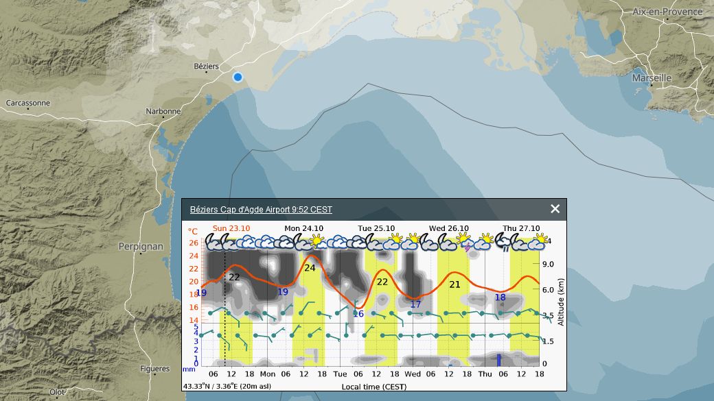
Then the METAR changed from CAVOK to Broken Clouds
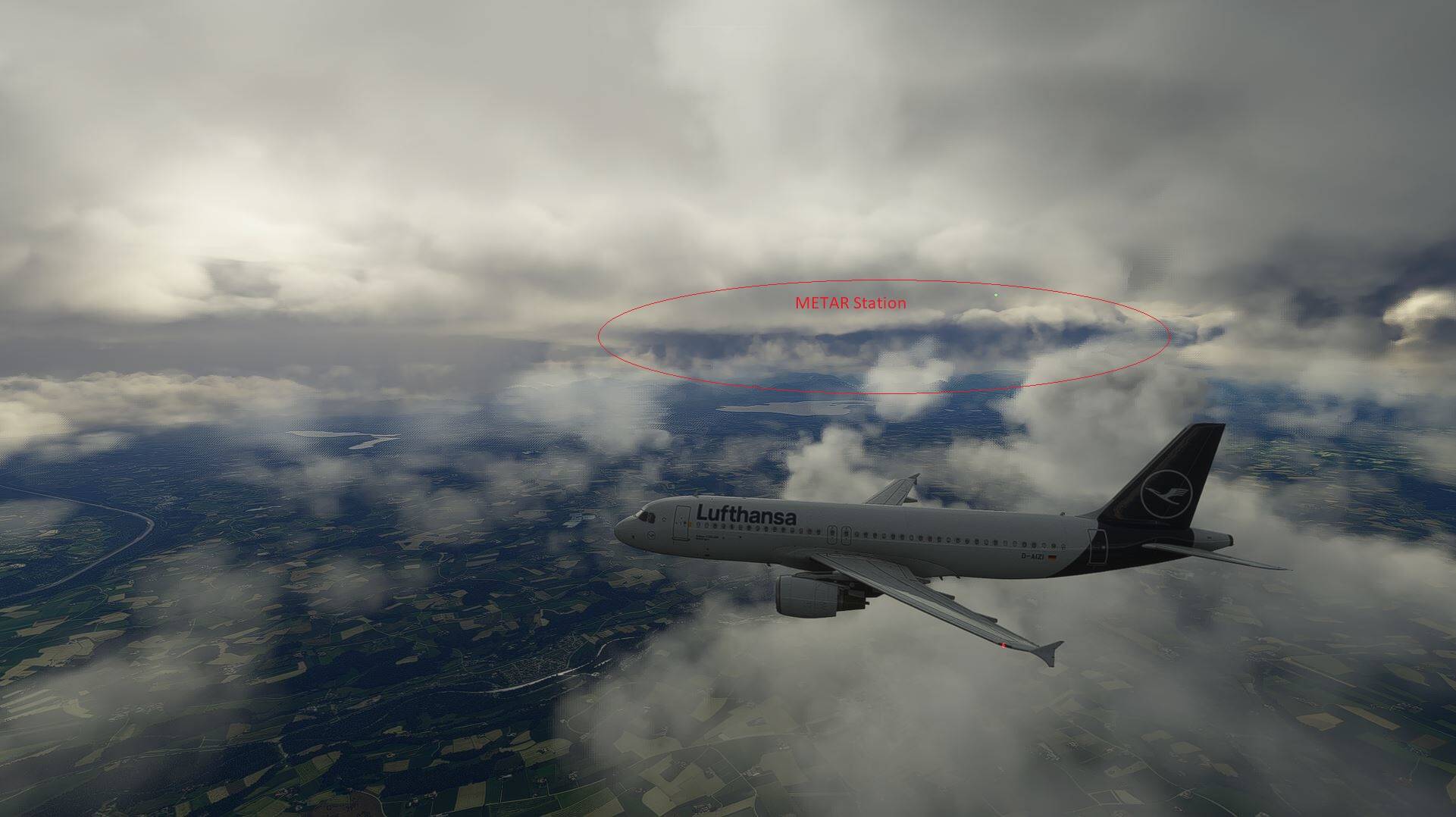
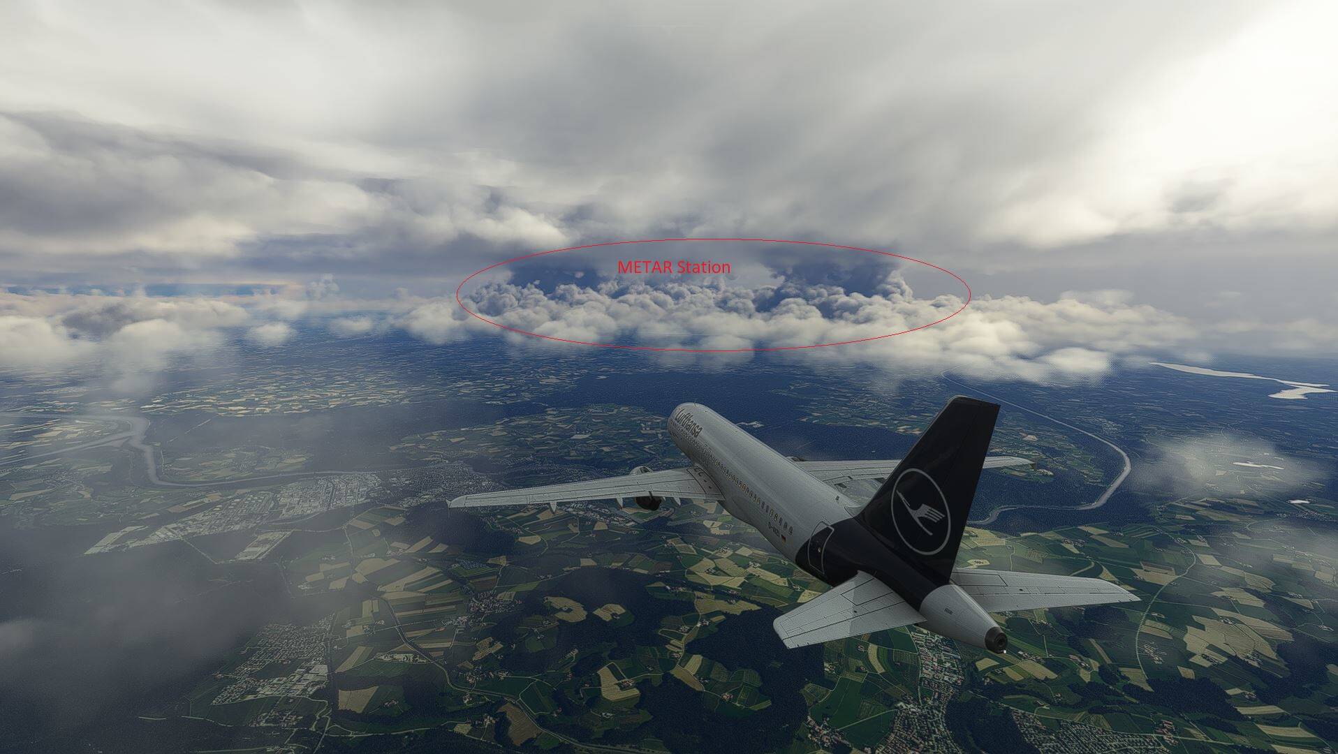
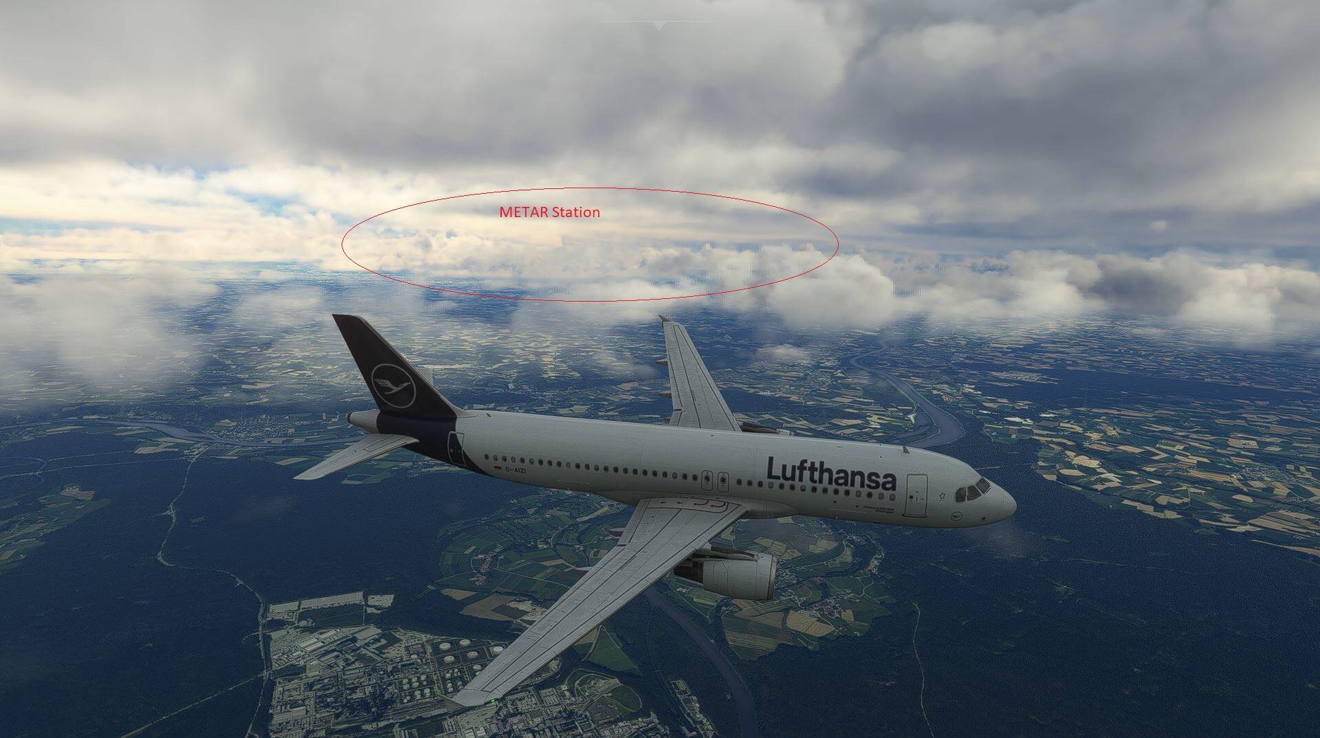
Notice how the METAR clouds go all the way up and merges with the Meteoblue clouds
6 Likes
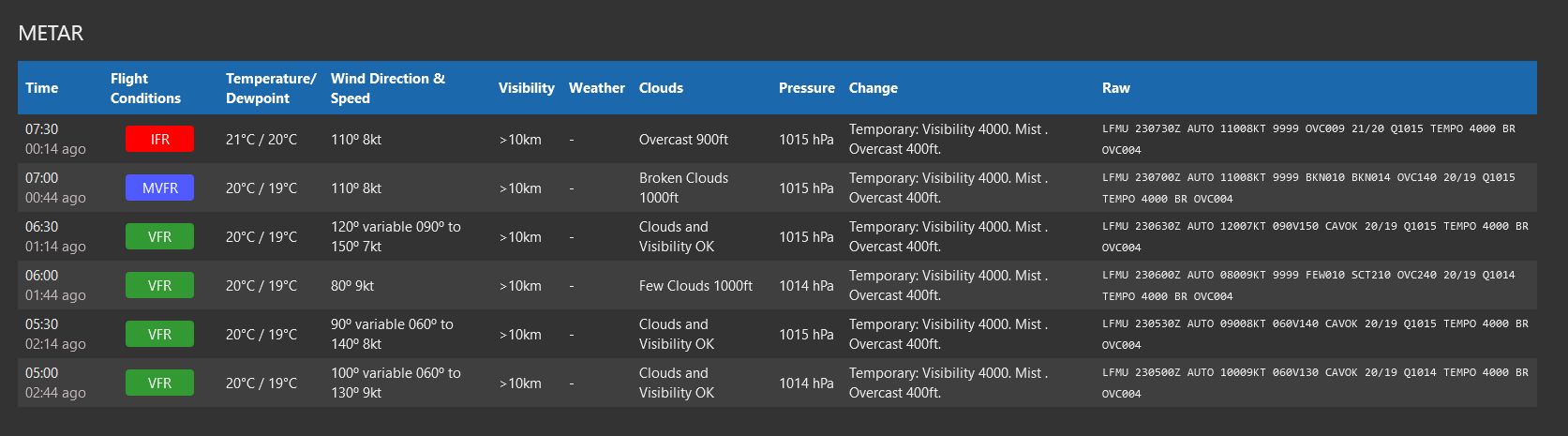
and that’s the problem ! it seems to be interpolated and the fronts are interrupted by the "current " metar data - but didn’t Seb say - at some point Meteoblue METAR data will be added (Q&A 2021) - I think it is the same source - only the data is not rendered “correctly” !
always seems to occur in the same circumstances - on the images it is always different station - and the appearance is always the same.

no METAR station or other data !
11 Likes
Nice examples.
It’s quite ridiculous that they still believe a thunderstorm out of place and time can be just “blended” in … And then 30 minutes later when METAR doesn’t report it any longer just what, puff it away over one generous transition minute?
5 Likes
This was Beirut / Lebanon yesterday. As you can see METAR reported rain and thunderstorm at OLBA but there was neither rain nor thunderstorm in the sim. The screenshot was taken directly heading towards OLBA RWY16 and there was not even one single lightning just slight haze.

I can’t really see. That screenshot is at night.


Did the weather always looked so artificial from high up in the sky? Or is another marvellous issues of su7?
Well, those METAR circles is new since su7 because they started to blend in METAR. And that is artificial enought for me. Know for sure there is no circles of clouds at those airports IRL.
1 Like
I mean the fact the the clouds look like in straight lines, like on a grid ?
That was also reported after su7 i think. That makes the weather feel generic.
Feels like a pixelated image of clouds pasted and changed into static volumetric clouds.
7 Likes
Yes, the only difference from FSX clouds is that now the bitmaps are volumetric and animated.
1 Like
Well, weather fronts over airports with METAR is a thing of the past. Maybe only if METAR reports CLR. If that not remove clouds, i don’t really know. Good way of showing it with that point of interest marker.
I’ve seen that grid pattern before. It looks to me like they have lowered the resolution of the cloud generation, possibly as part of an optimisation pass. It would be less noticeable when looking at it edge on, but easily noticeable when viewed from above or below.
Yes, the human brain is excellent at discerning repeating patterns in the noise like that.
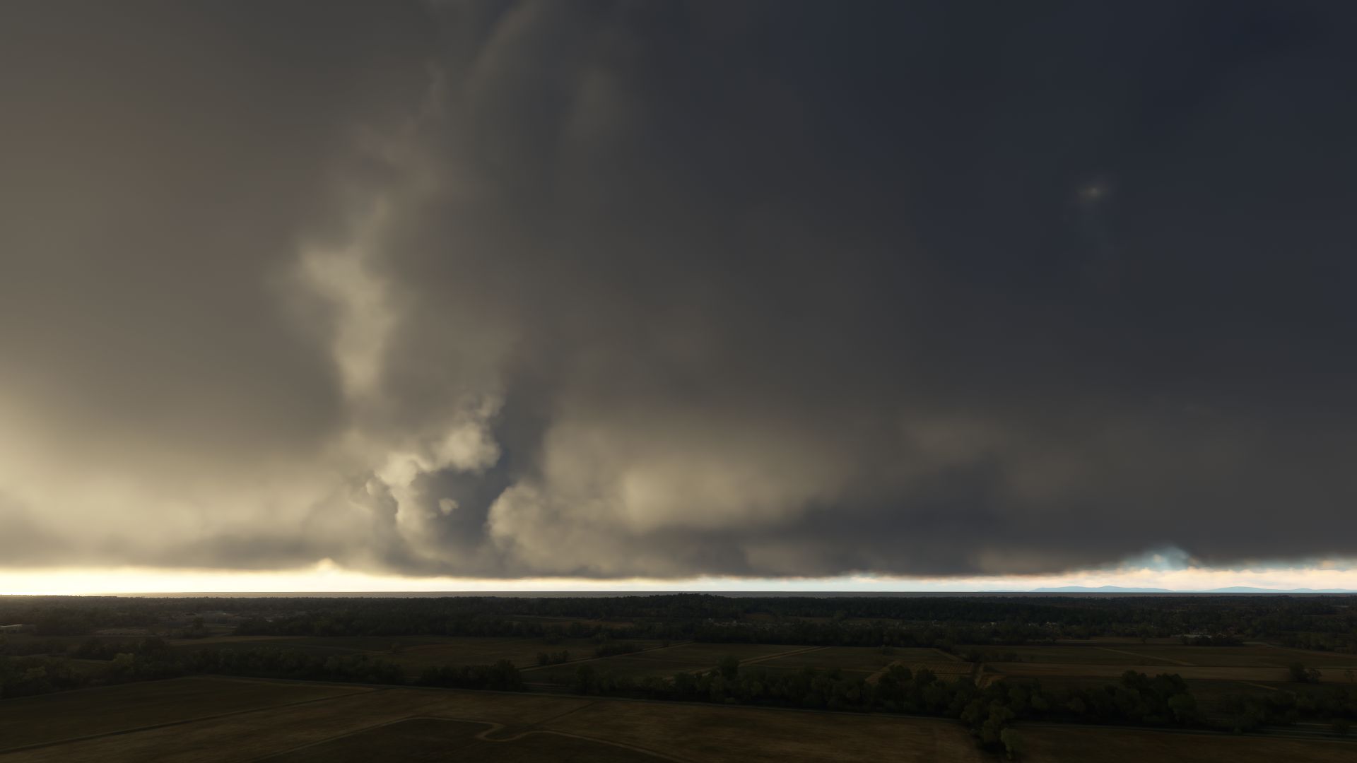
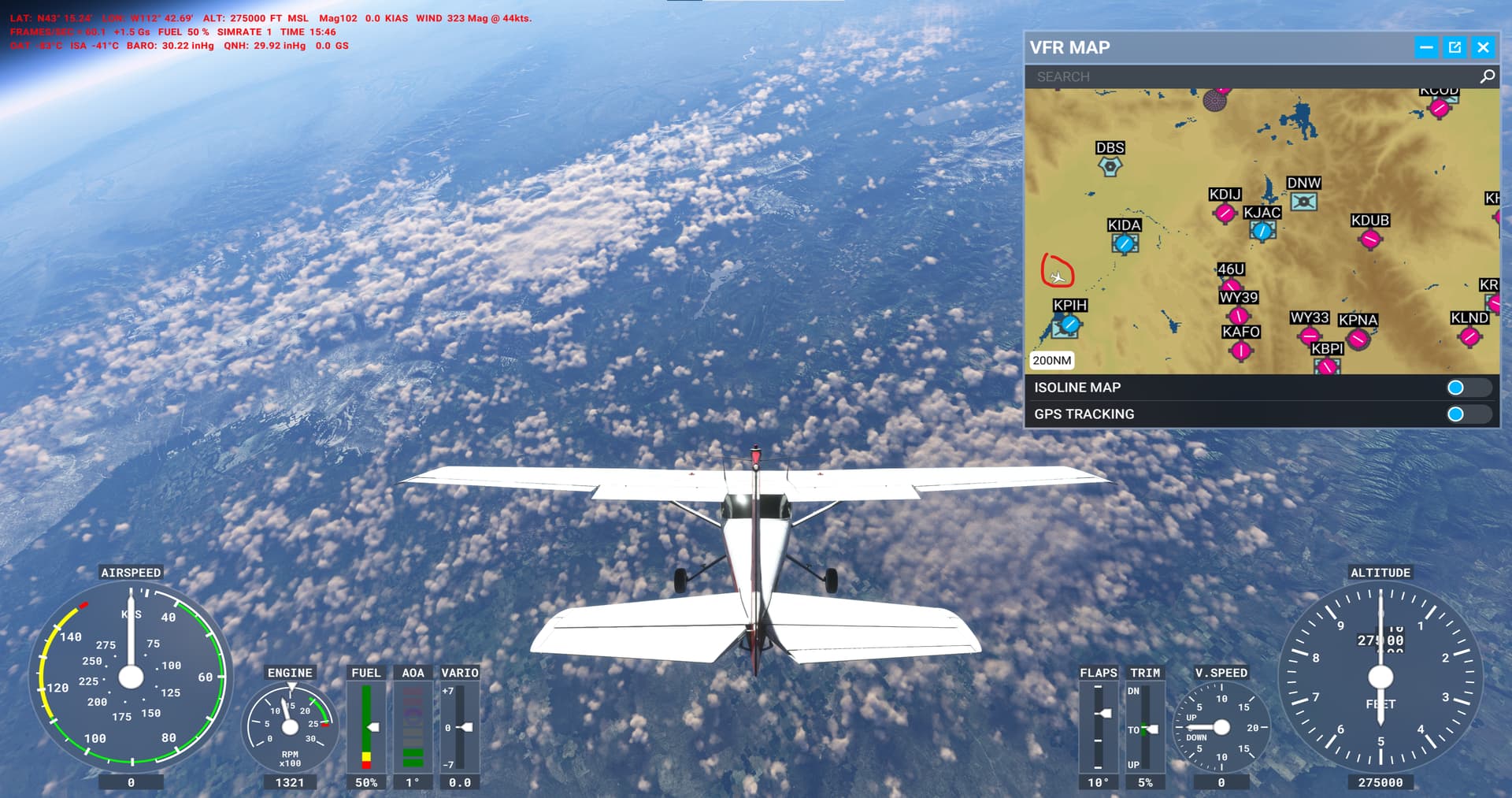
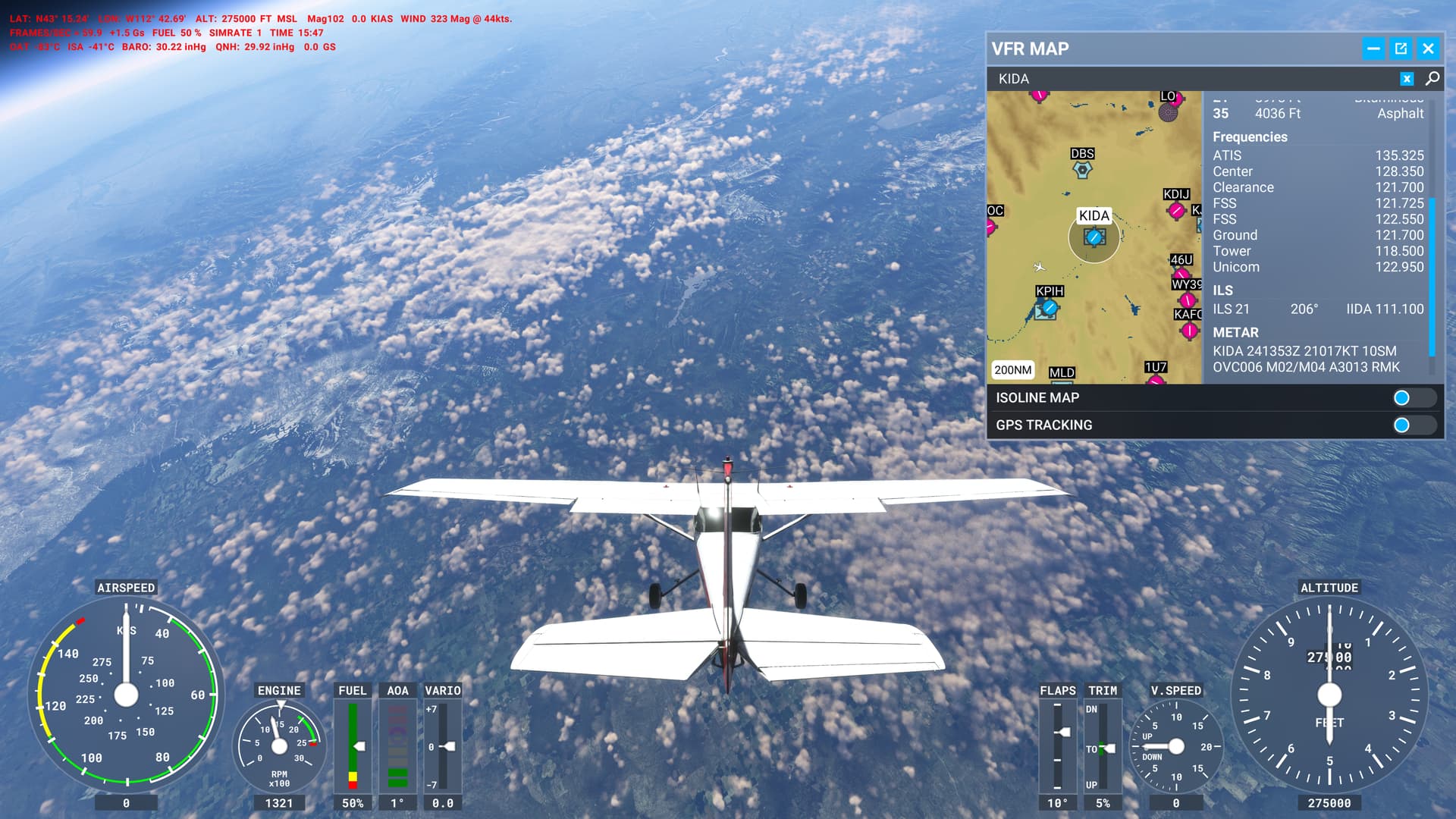
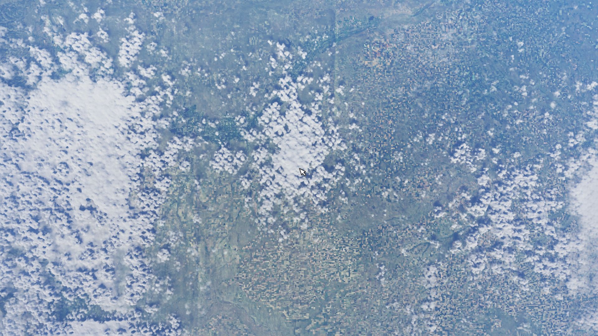
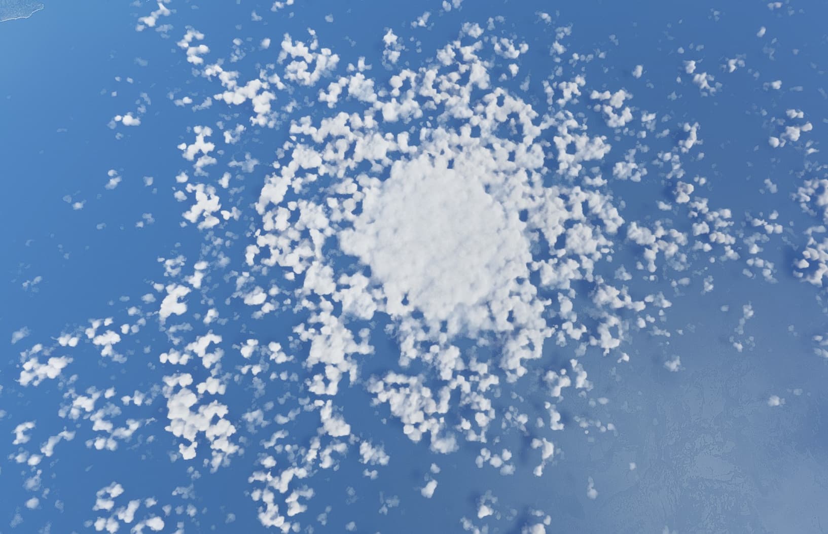
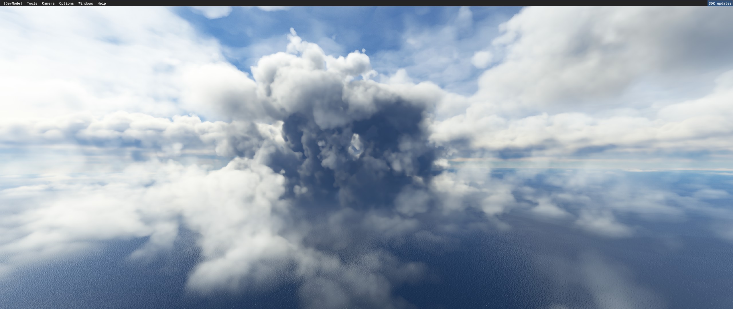
Check out this obvious METAR cloud. See how it’s dense and circular? So obviously METAR… Okay, it may be in the middle of the ocean, but how else do you explain this? Okay, storms may usually be circular, but there must be some other explanation involving SU7… Okay Meteoblue storms take the shape of real life storms, which tend to be circular and we’re obviously limited by the resolution of the weather grid and the voxel engine… But maybe it could be a METAR station on a boat being driven by Asobo to mess with us?
On a serious note. Between SU7 and SU10 there was a serious problem with the weather engine not properly generating overcast skies from Meteoblue data. In SU10 they made changes to the cloud generation algorithm to ensure that overcast skies are where their Meteoblue data calls for it, which looks like these clumps of clouds (ie: storms/overcast) that are being posted. What matters is how often the clouds actually match METAR. It doesn’t take much testing to find that it often does not match METAR and they pass right over METAR stations. Meteoblue has a pretty good weather model, so of course it will match sometimes, but the fact that it doesn’t always match is a pretty good indication that METAR clouds (or the lack thereof) are not replacing Meteoblue clouds.
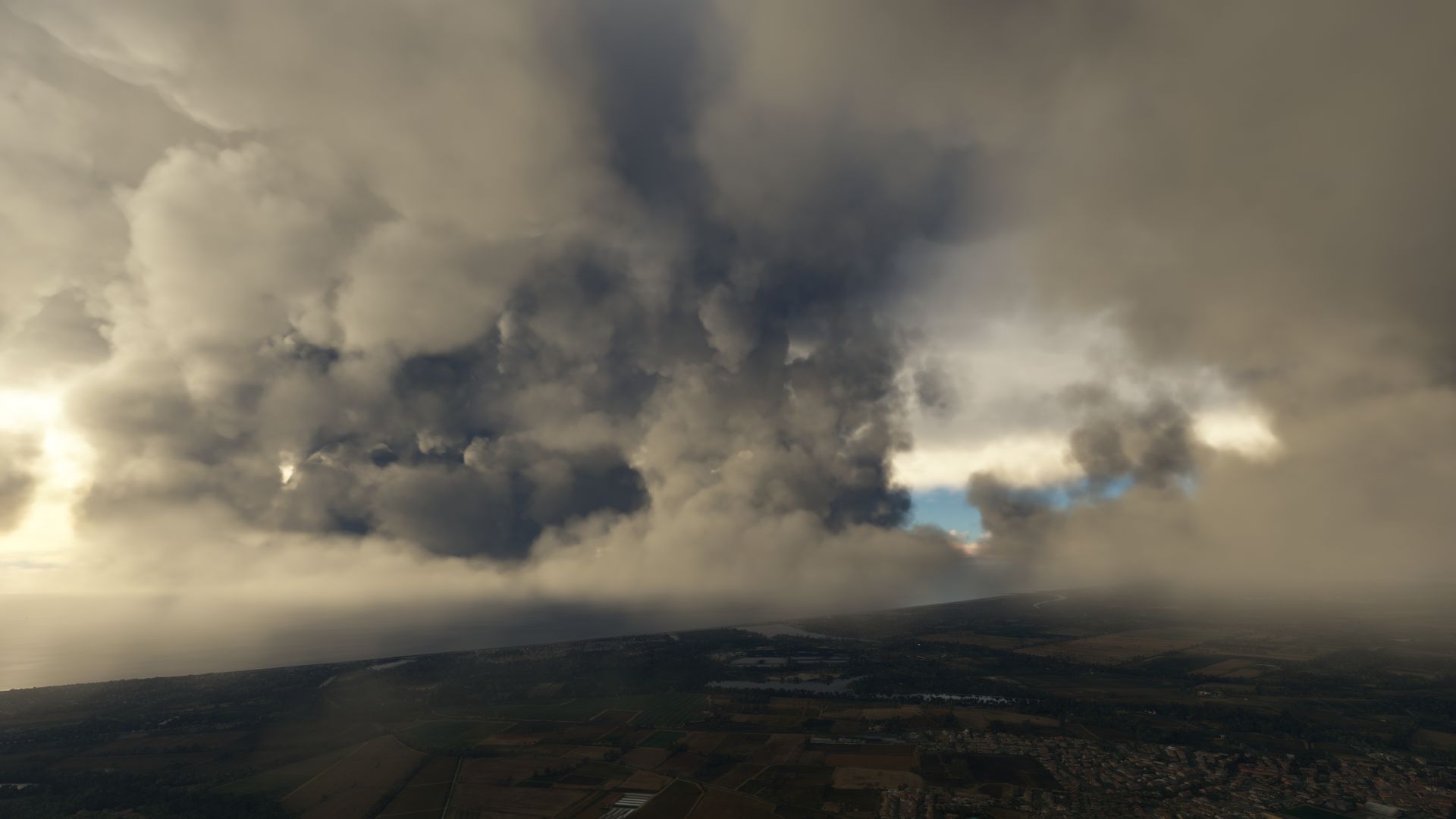
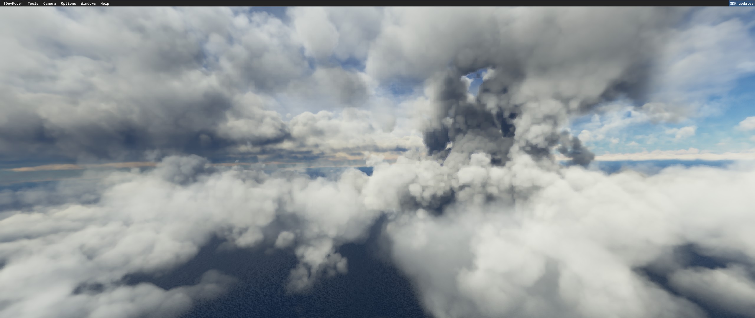
Not that this will matter, but another important point is we’re used to seeing clouds from below, not from the heavens. Even most pilots don’t see clouds from the heights we can get to in seconds in development mode, and real life clouds don’t have to worry about pesky things like vram and FPS… That’s why I try to look at the clouds from more realistic angles.
1 Like
If it’s in the middle of the ocean, where is the weather station located? Is there an island down there somewhere?
Could you please provide the exact location of that? Land is visible in the upper left corner. And yes there are METAR stations in the middle of the ocean on tiny islands. You ask for proof but then dismiss the proof. Hopefully Asobo takes our feedback more seriously.
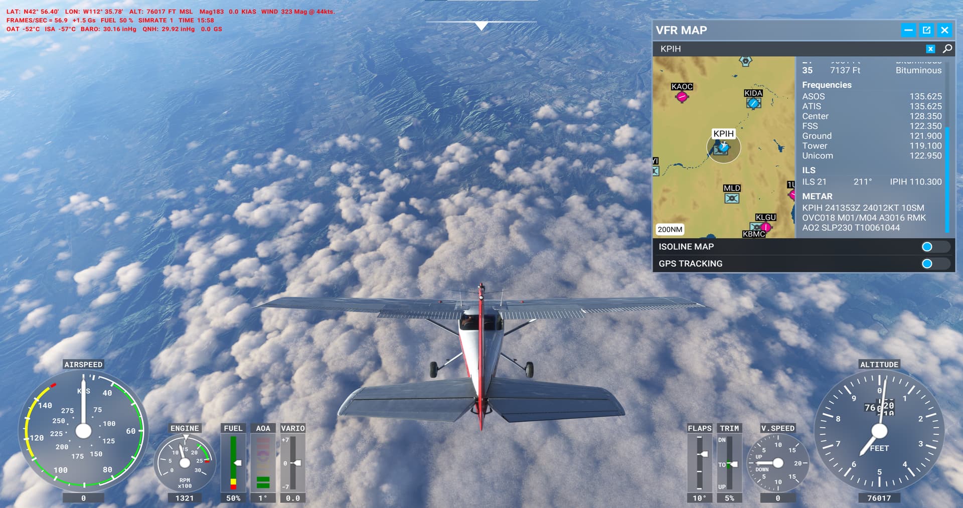
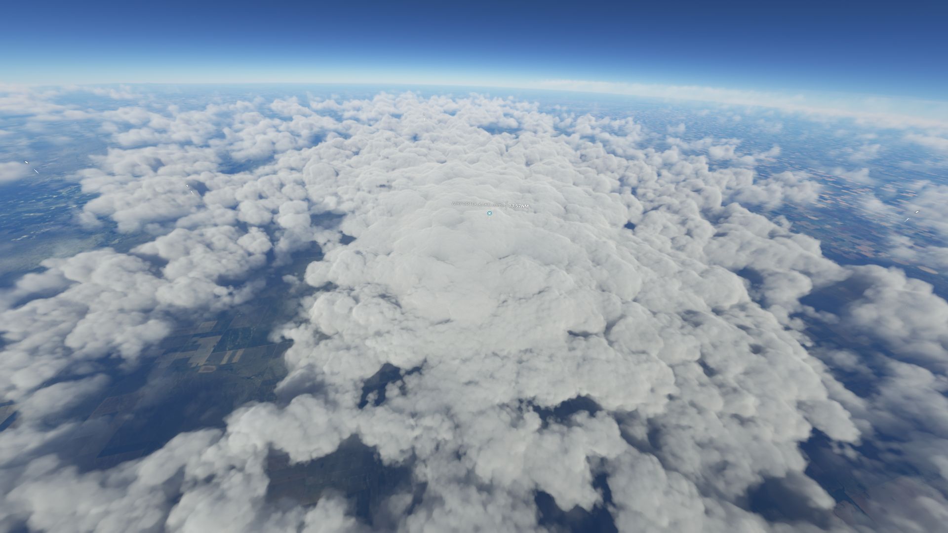
This is how METAR clouds look from more normal angles


1 Like
I have noticed since yesterday, that the clouds for me are once again too low with no real weather fronts…it was better last night but aweful again this margining…honestly when this is gonna end?
2 Likes
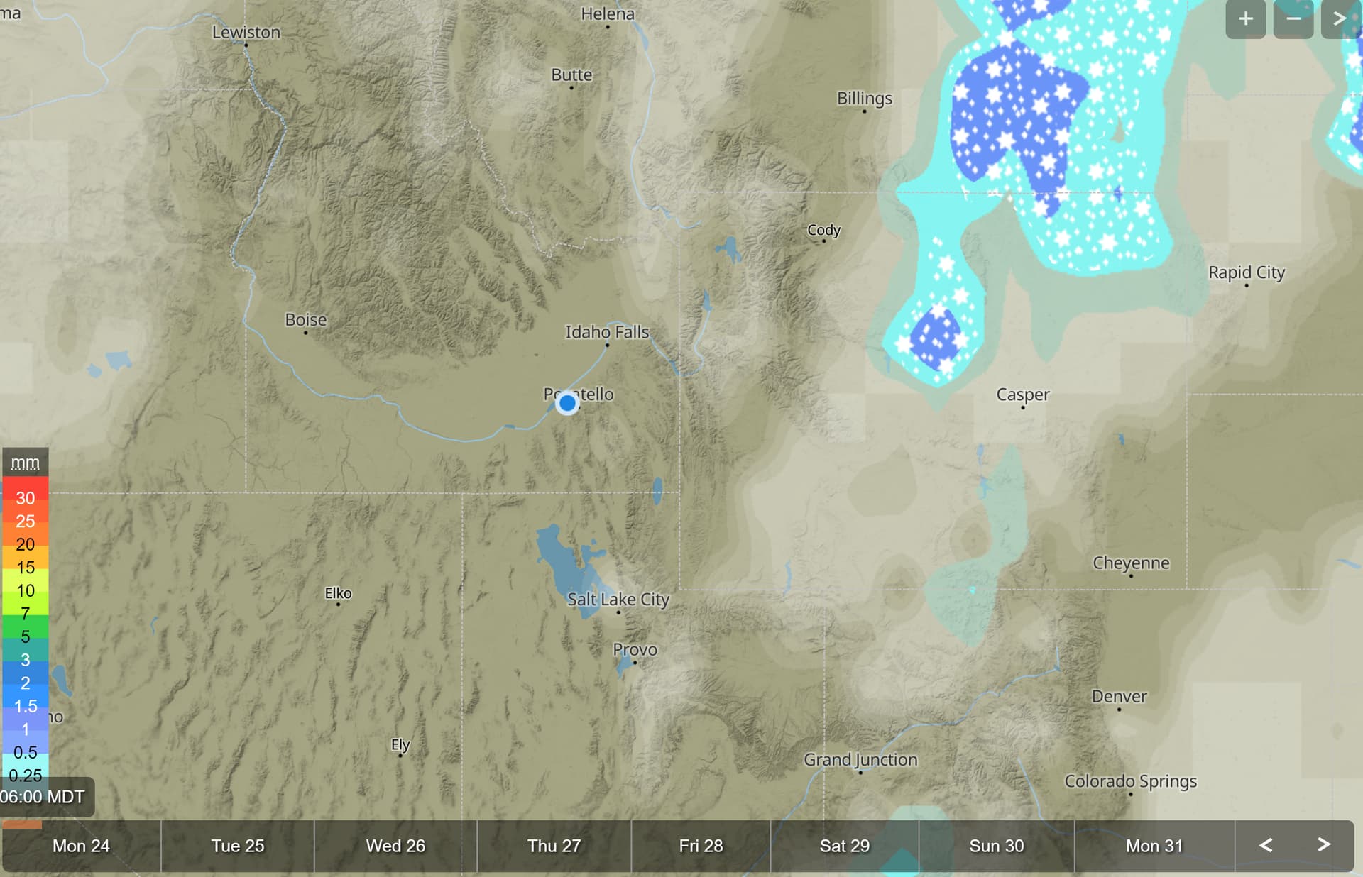
It’s from a few days ago, but they are all over the place… Just use the world map to look over the ocean for areas with smalls storms and look down on them using the developer mode. Anyone actually testing the weather engine should be seeing (usually circular) clumps of clouds where there’s overcast skies… Whether we like how they look or not is another topic.
I don’t ask for proof of this claim because it’s not possible to prove it with the data we have access to. Asobo only has that data and they say that the clouds are Meteoblue only in the current version. A screenshot showing that the clouds match the METAR report is not proof because Meteoblue is not random data… it will often match METAR/real life. The problem is all the times it doesn’t’ match, which is the screenshots you guys will never show and that I have posted many times. We also can’t query the Meteoblue data that Asobo has, which is another major issue. If the clouds don’t always match the in-game METAR report then we can’t conclude that the Meteoblue clouds are being replaced by METAR clouds…
That is how large convective clouds are currently generated, and we see them everywhere, including over the ocean and the middle of nowhere. I literally have a folder full of them. That is not proof that those clouds came from METAR, but again, I don’t expect proof due to a lack of data… And by the way, those were around before SU7 and looked much worse back then in my opinion.


1 Like