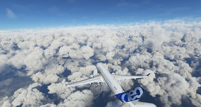
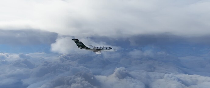
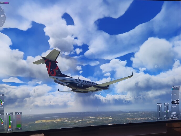
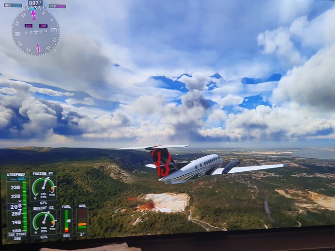
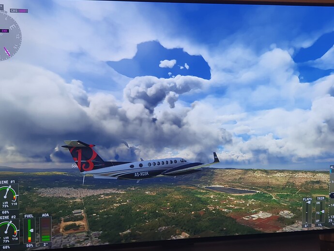
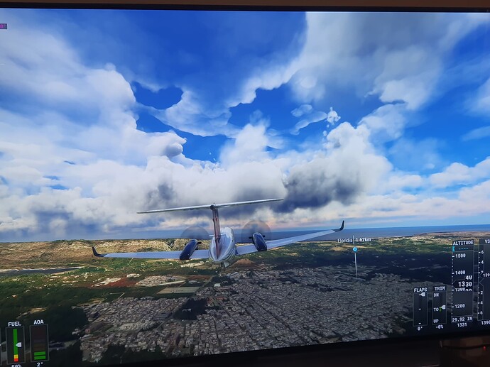
that’s why the weather is mostly the same everywhere, the bug generated from the METAR implementation since su7 is that probably the weather generated from METAR is extended at the whole world, and only the layer reported from metar, hence the one layer of clouds (cumulus only), because METAR does not report what type of clouds they are, so MFS draws the standard cumulus clouds. You might call it an assumption as you like to say to us when we are trying ro work out what’s going on, but the fact that this topic is logged as a bug means the developers agree with what’s reported here since a year and half from sim update 7!
In the interest of finding common ground with which to resolve this bug (or even discover the realities of it): There is definitely weather between METAR reporting stations. METARs seem to modify it, not the other way around.
For an example, take a look look at northern CA right now. There is a storm front rolling through the Central Valley and the METAR are only changing things on the periphery where rain does or doesn’t really exist at that moment. But the whole storm system is definitely not coming from METAR alone - it’s a much longer, congruent front (not entirely accurate in position as of 90 minutes ago when I looked into it), which would be impossible to re-create with METAR alone.
So how do we go forward in squashing this bug? I think it’s important to understand what the sim is actually doing compared to different forecast sets, current observations, and observed reality.
The thing is it’s not a bug. The data of clouds we have now in the sim coming from Meteoblue. The fog layer is on the client side though (I know because when the live-weather has been down i still get the fog from METAR) It’s different data than what we had pre su7. Back then we had the simulation model without postprocessed data. After su7 we get the postprocessed data that includes Messured and observation data. It’s not Asobo that decides where the data of clouds should be shown. If Meteoblue postprocess the data to be in a circle around airports we will see it as in a circle in the sim.
I preffered the data without postprocessing done.
Asobo also explained pre su7 that they changed the global clouds to be more realistic they said back then. In my opinion it were the oposite to more realistic.
Here they explain the system before su7 were released.
Meteoblue injects METAR data before they sends it to Asobo. It’s a different model in use. It’s intended. But not all agrees thats better (me included). Thats because this topic exists i bet.
This illustrates exactly I’m saying. We can’t even come to terms as to whether this is a bug or not. We’ve been warned several times that it is one and to not have side discussions, but you say it isn’t a bug.
Then there’s the claim that it’s post-processed, and that may be the case on the boundaries where weather is moving in unforecast ways, but why does that preclude drawing the rest of it correctly? And if it is precluding that meterologically-correct drawing, then is that the bug?
Again, it seems to have nothing to do with METARs, per se, rather it is coincidental with when MB decided to post-process, if that’s indeed the case. The METARs, as far as clouds go, seem to be only affecting the edge cases where things are moving differently than forecast. And I will say that my observations have been that these discrepancies have been a lot closer to reality than it was several updates ago. To the point where it’s almost not noticeable in the windscreen - I haven’t seen a full-on METAR “bubble” in the visual depiction in a long time and now if I happen to come across one, to me it’s evidence that the forecast was extremely off (or the surface reporting station is broken). Instead everything is moving and flowing and pretty convincingly. It’s just the layers/variation of clouds that’s missing.
It will be interesting to observe these forecast discrepancies during the upcoming Midwest thunderstorm season. Storms may be forecast at a certain time of day, but actually only kick off when diurnal heating and a combination of other conditions break the convective-inhibiting “cap.” Those initial, developing stages can go from relatively clear skies, to an agitated AC/CU field, to CB really quickly.
But to bring it back on-topic to the bug: What is it, then? Why are we not discussing it as one and why do we keep doing it in this thread if it’s not a bug?
It’s good if they found a bug and i bet there is bugs in weather but nobody here can report bugs of weather because nobody knows how the system works besides Asobo. We can only tell what we observe. And they mentioned in su7 they added more data from METAR that is injected in the meteoblue model. And in this title it shows what we have observed since they implemented the METAR. Then it’s Asobo that needs to find the cause if it’s a bug. We can’t help them with that more than give feedback of what we see. Maybe use the weather debug tool but that doesn’t show much how the weather model/engine works.
Correct. Even with myself being in the Beta, I really have no way of knowing or verifying any of those changes. Someone else who has kept a close eye on this stuff who is either in the Beta or when SU12 comes out can probably give a better before and after comparison. Only weather change I can tell has changed is the issue with the weather not injecting over 5 hours.
Its not just high level cirrus clouds.. its thunderstorm clouds and or supercells that expand up to FL600 that needs to happen.
Stratus and so on and so forth, a lot has been lost on the way..
Ues indeed
No way that is Leeds in the evening, it’s the Inter-Tropical Convergence Zone at noon.
Leeds has been approached by a warmfront, with a low ceiling and light rain.
But as MSFS is not capable of displaying a high-reaching, multilayered cloudscape of BKN SC/AC/AS/CS, as it would be typical for a warmfront, it displays a single layer of high reaching cauliflower puffs.
Pre-SU5, with a superior lighting, cloud rendering and convincing layering, it would probably have looked more like this:
I miss it so much ![]()
Well, as much as i want the 2020 weather system back. Actually it’s my number 1 wish for this sim but I think the post su7 weather is what we will see gets improved on. Too much work to get the old system back again i bet.
Accuracy is the dominant thing in flight simulators. The look, feel and behaviour of weather will allways come second. I hope some day it will be the opposite and we get observations of the weather in the sim instead of using real observations to create static/generic weather with and let the weather be a fluid as it is IRL.
SU5….I guess it was the only way they could get it to work on the XBox, but it’s a shame that update messed with so many things. I have a few videos from back then, and it really did look so much better than what we have now.
The question is. Is it important to look good? For some it doesn’t matter in flight simulators. We had it look much better in pre su7 or su5 or whatever. Is it fine to look bad as long as it’s accurate to a real world METAR. Isn’t it a flight simulator when the weather behaves correct only when it’s accurate? If it only needs to be accurate to real world METAR to be a flight simulator they don’t need to focus much on weather. I think the demand to get the weather accurate to a real world METAR is not that high expectations in my opinion. Well when they advertised Meteoblue as the weather source i were expecting more data from that source. Not mess it up with many different sources that doesn’t fit that source.
I bet those that doesn’t care about the look of weather enjoys the weather now and fly but us others are grounded. I only test it now rather than enjoy it. I were not expecting to be a tester before buying this software.
Please, please, please ![]()
![]()
![]() …
…
https://forums.flightsimulator.com/t/excellent-live-weather-in-su12/581538/70?u=justemperor4724
Don’t even hope. This is just now in italy… su12 BETA
Try yourself, but it will be a waste of time as usual
Looks like waterpainting
What are your graphical settings for volumetric clouds?
