A African Bush Trip in JPLogistics Cessna 152.
King Shaka Intl to Morocco. Roughly 6,700 miles.
Pilots (Captain’s) Log
Day 10
Leg 1
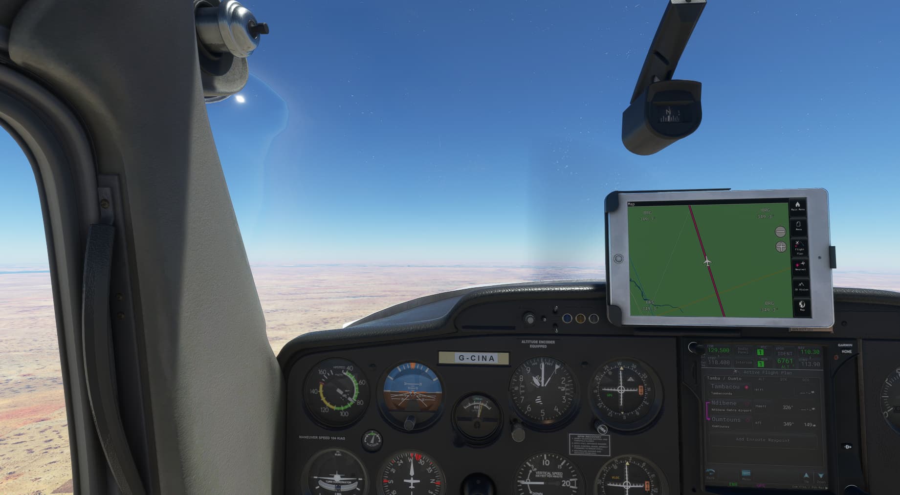
Tambacounda (GOTT) to Oumtounsy (GQNO)
Distance: 359 miles
It was a good morning, and despite a bad nights sleep due to a uncomfortable bed, I was feeling good and keen to get in the air.
Today was going to take me N.W to the coast. How we do like to be beside the seaside!
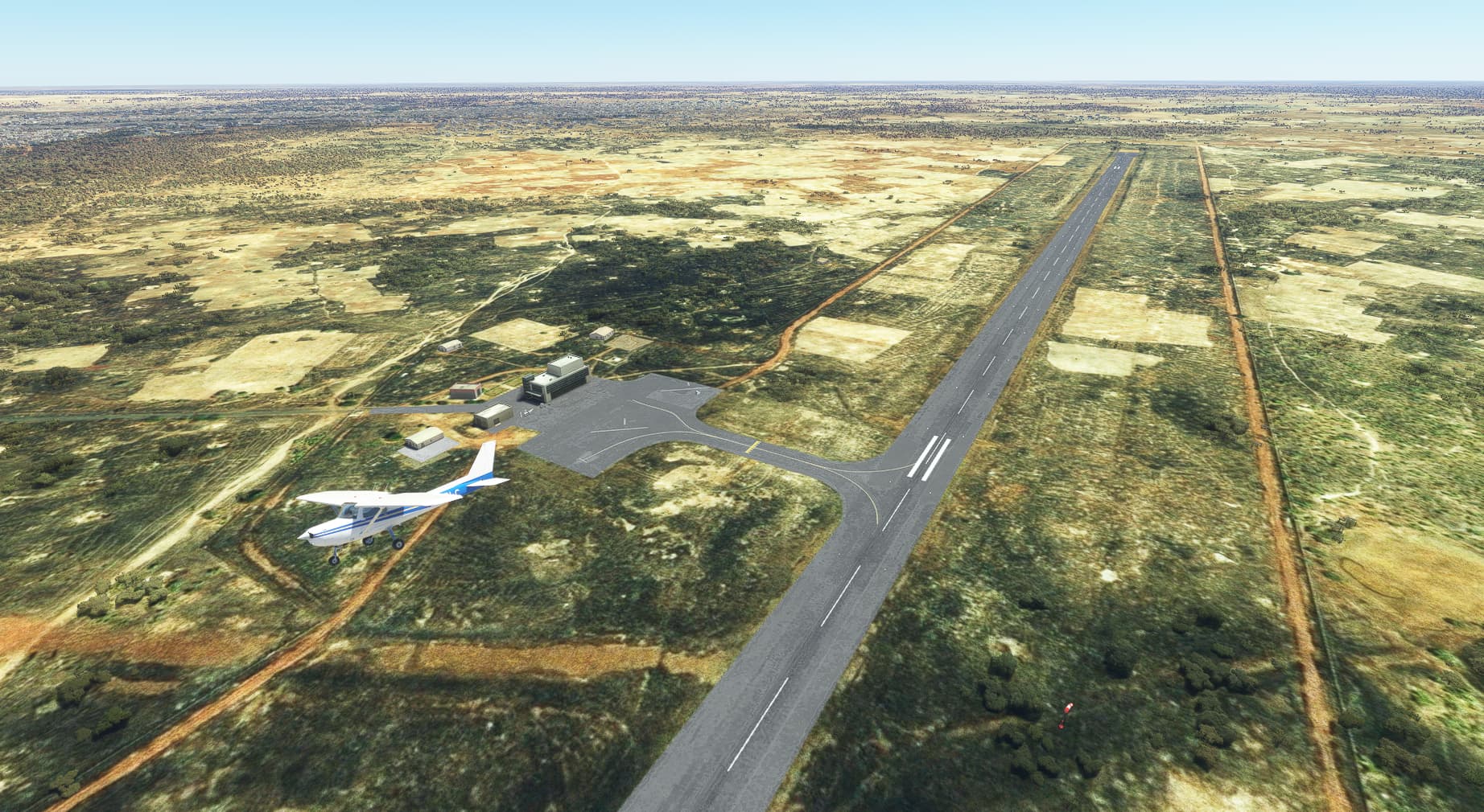
I was back at the plane for 10am, and with pre-flight done I was heading for the runway.
Lined up and with a nasty crosswind from the east, I throttled up and headed off down the tarmac.
Picking up speed the nose began to lift and I was once again airborne.

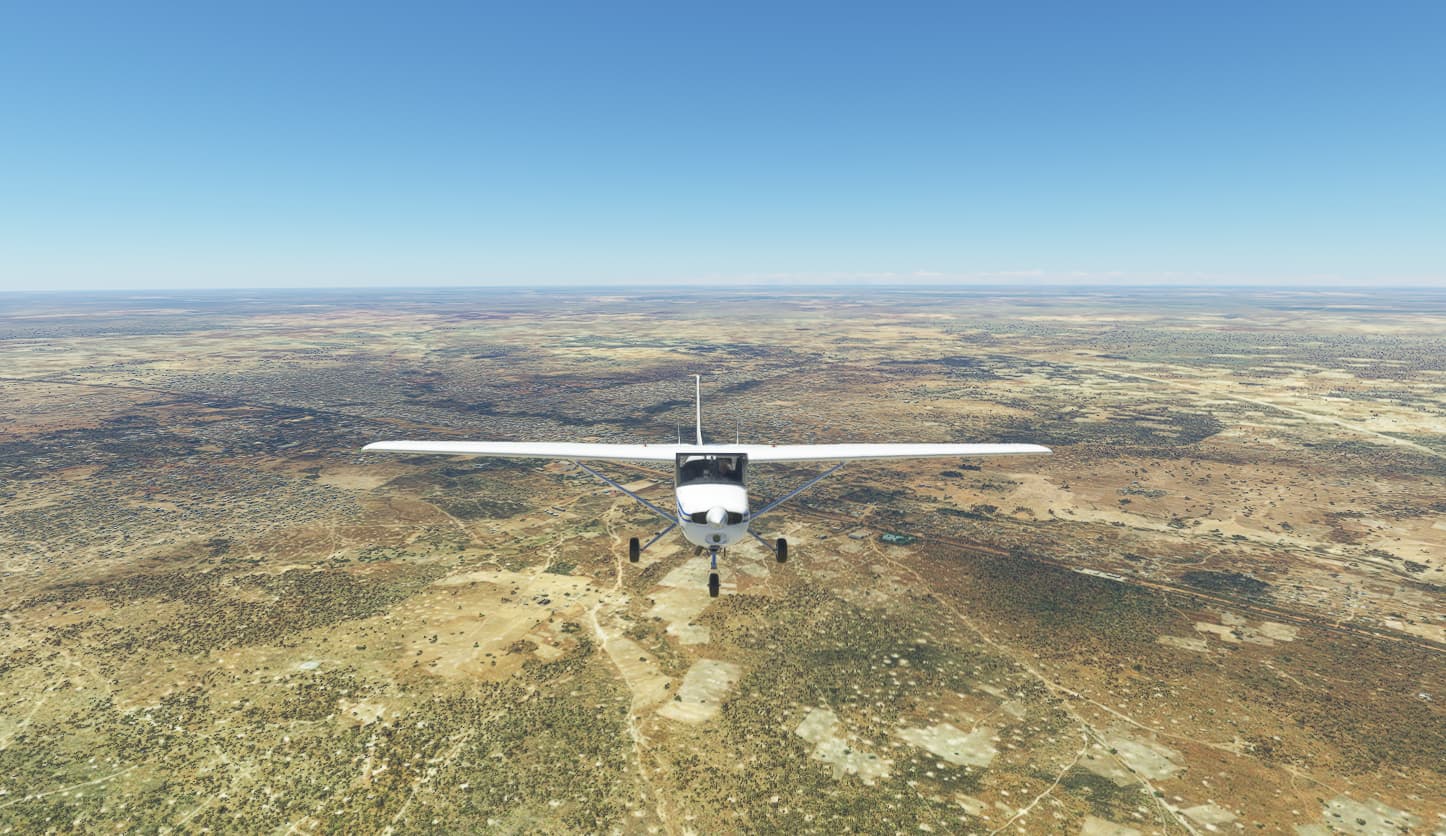
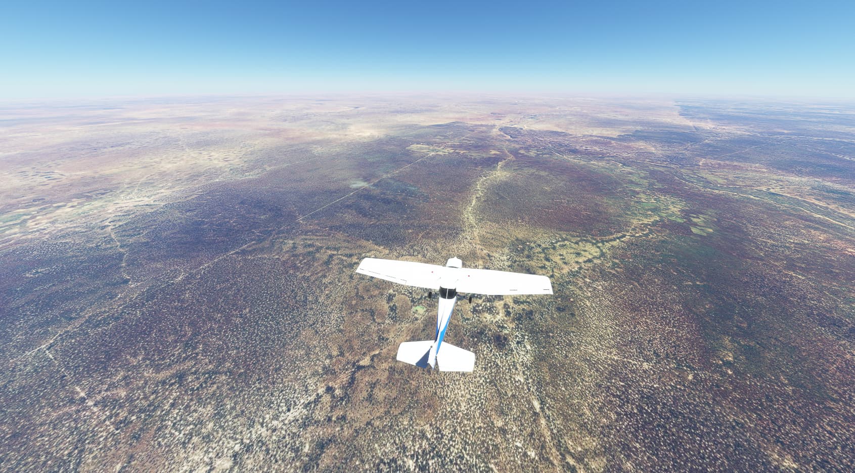
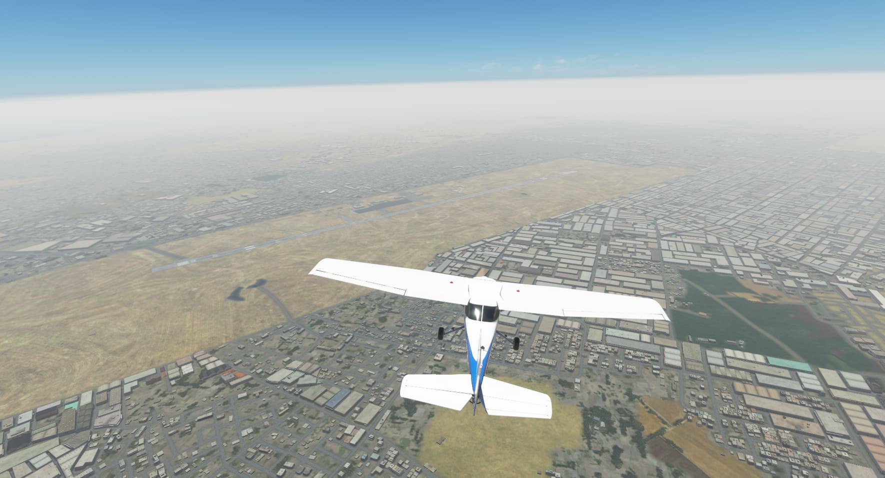
After bringing her about and got pointing in the right direct I began my steady climb to 9,000ft.
With Tambacounda now receding into the distance I engaged the AP and headed for the horizon.
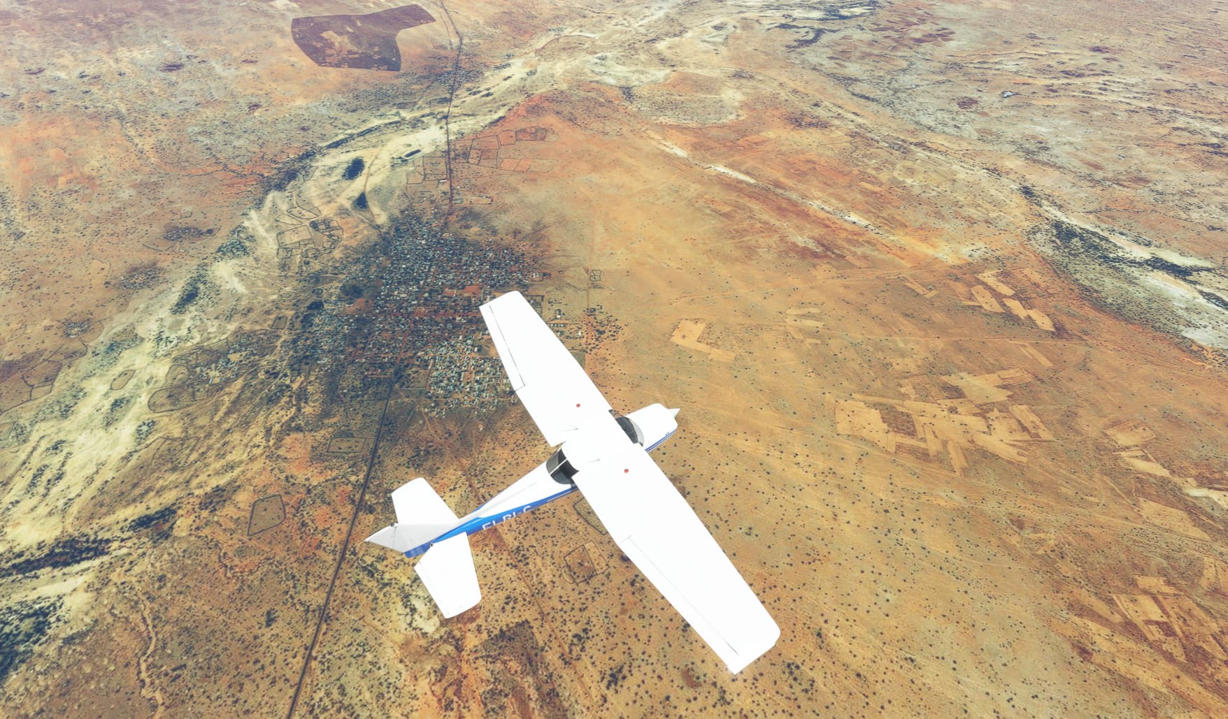
Only 30 miles into my flight I passed over the Koussanar river with the town of Gouidi on its eastern banks.

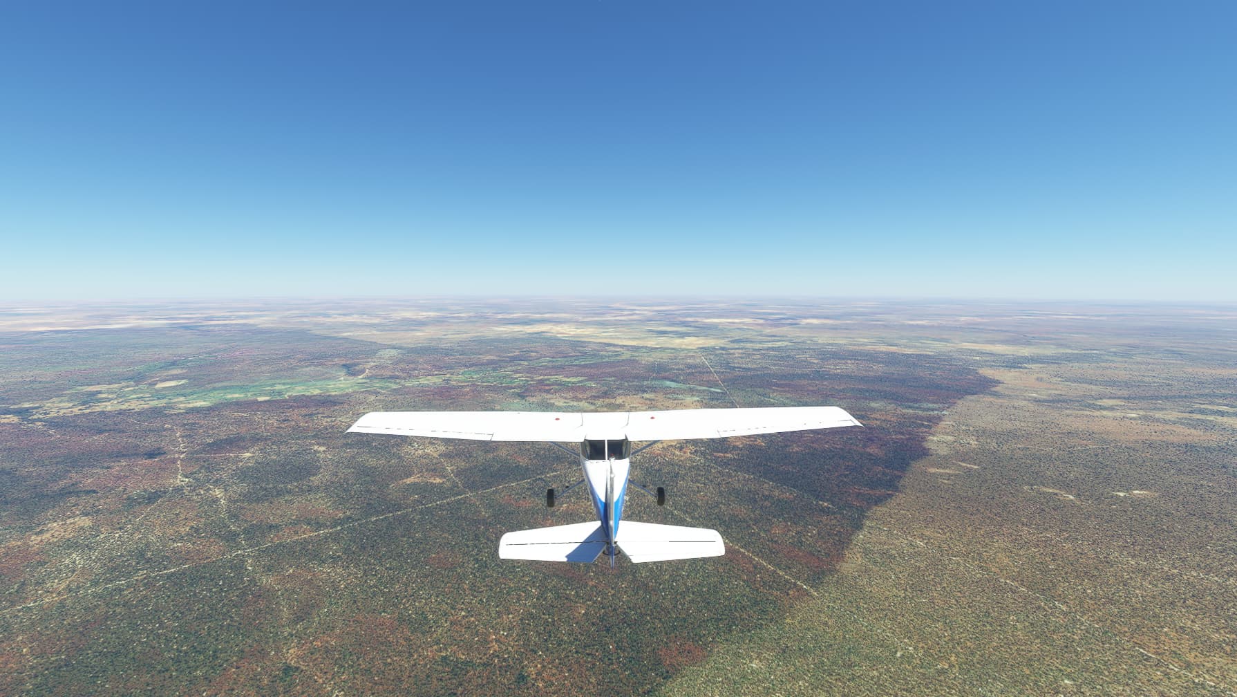
Below the landscape was a patchwork of greens and browns, and with the odd village placed along tracks.

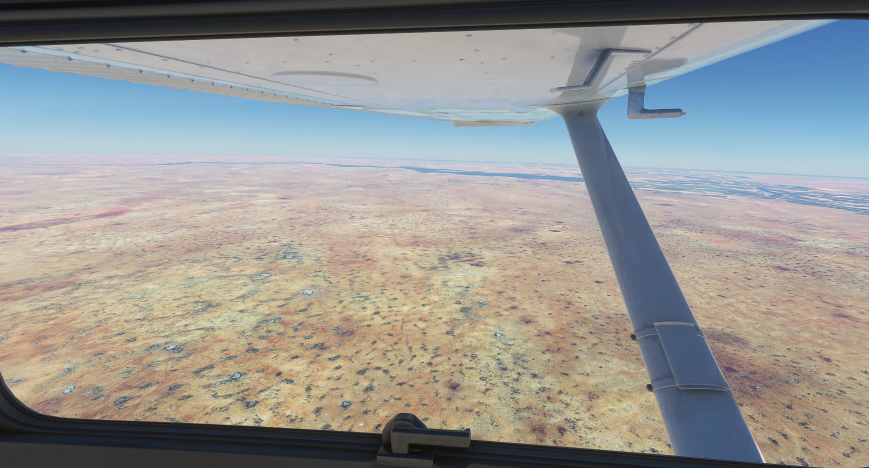
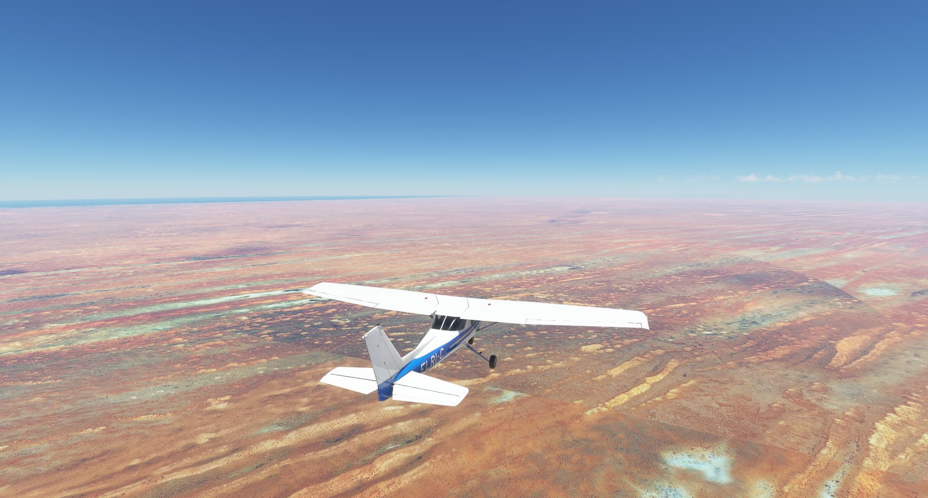
Now the landscape began to change. It was now showing signs that the great desert was closing in.
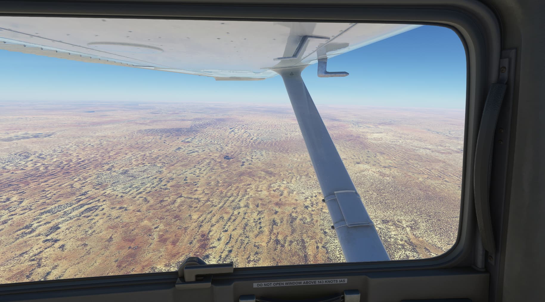
Yet still the signs of man show in the terrain below.
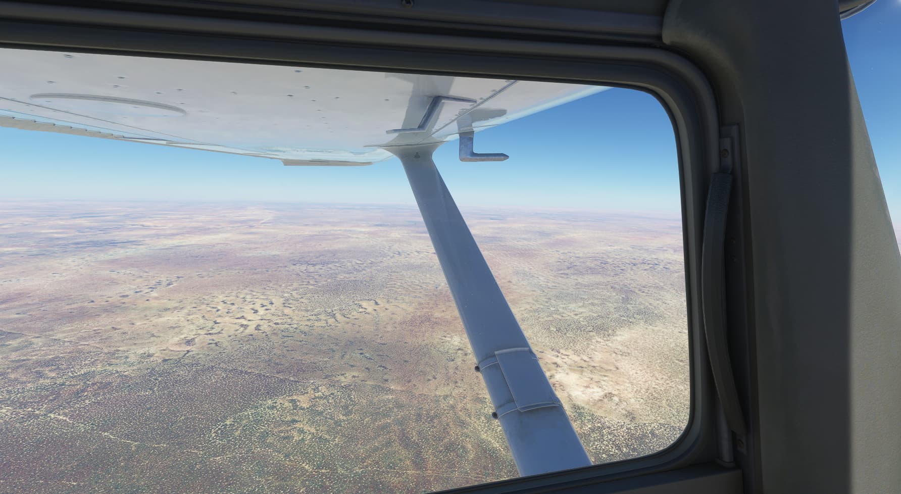
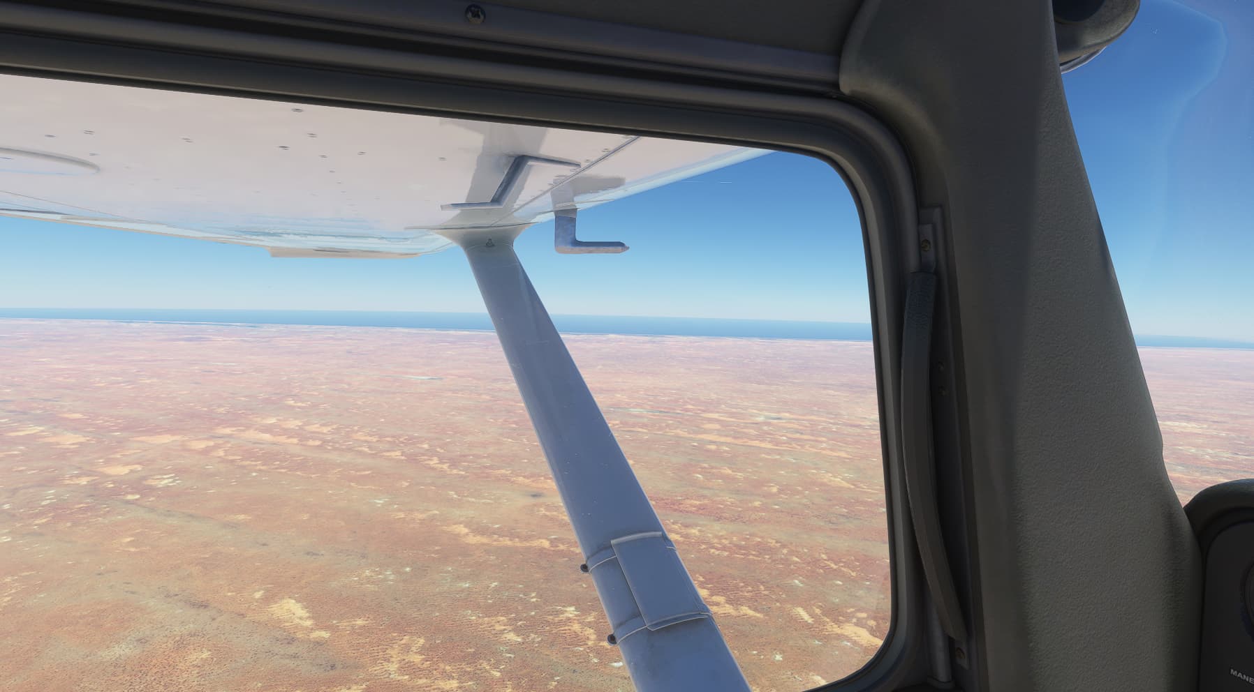
Now 9,000ft below, the landscape began to turn to sand, with high ridges carved out by winds.
As I continued on course I passed over the dried up river bed of the river Valle du Ferio. Looking like a great scar!
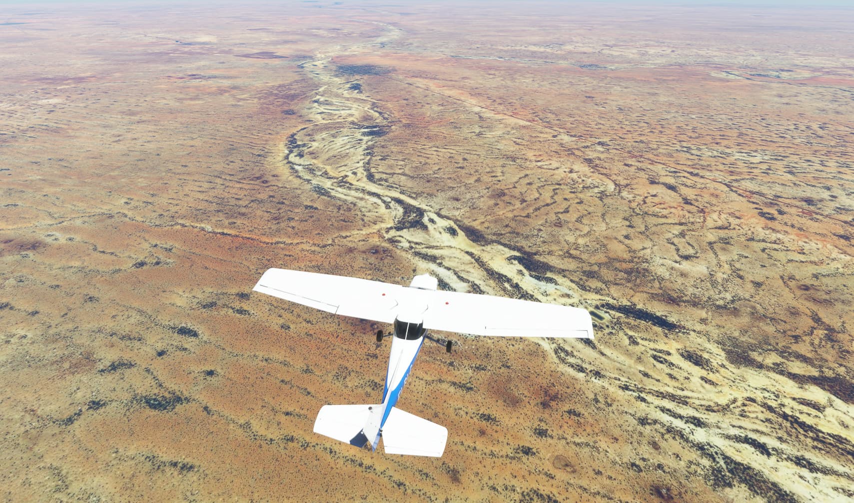
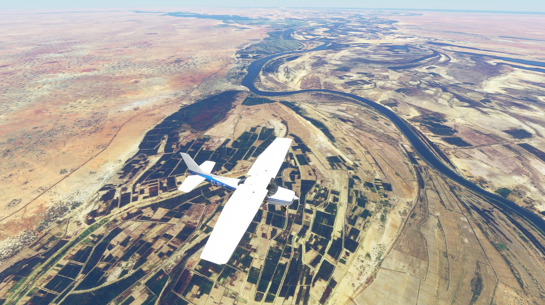
Further on. I reach my first and only waypoint. Sitting on the bank of the river, is the town of Linguere with its small dirt runway.
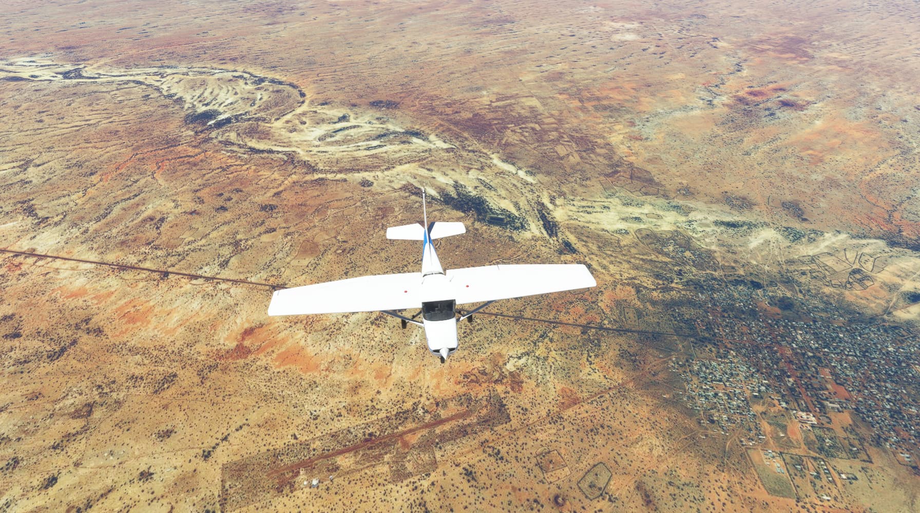
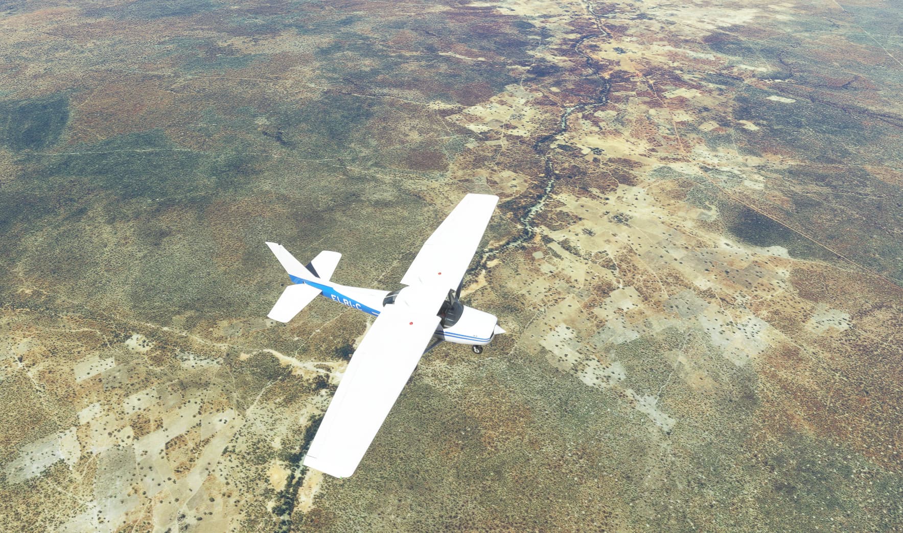
Off to the left I see water, It’s the same river that I flew over ten minutes earlier, and the sign of a village with tracks leading away like spokes of a wheel.
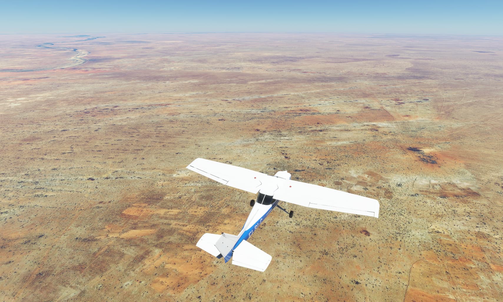
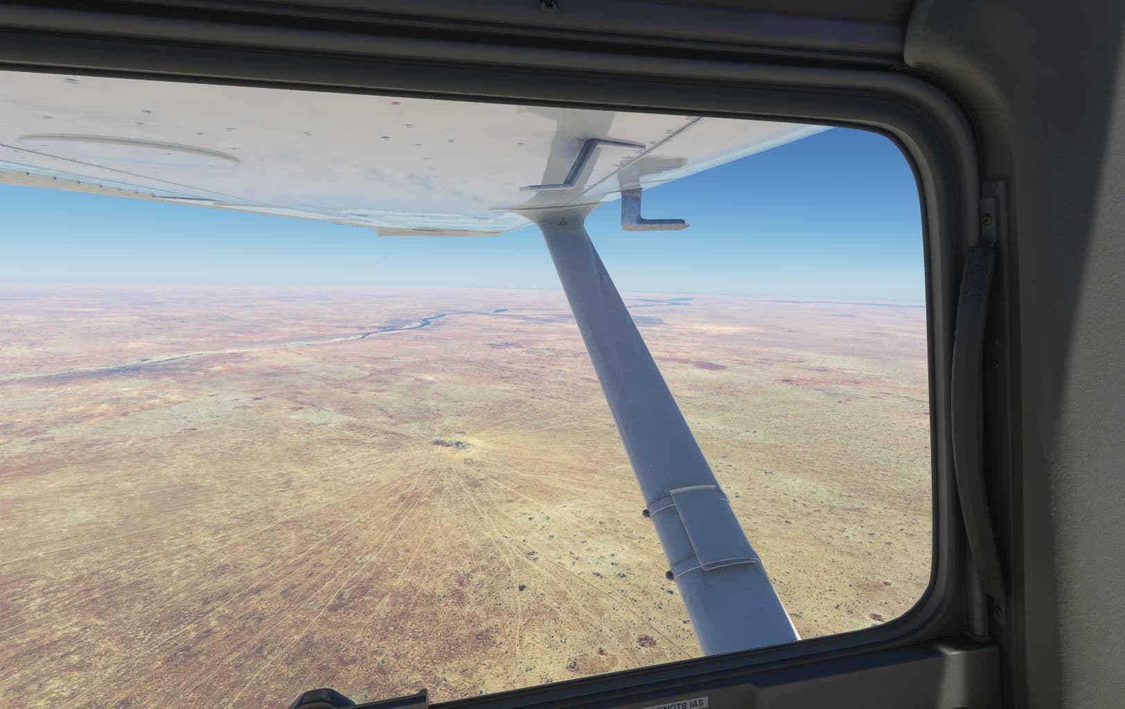
As I shadow the river, ahead the border where I will depart Senegal is in sight.
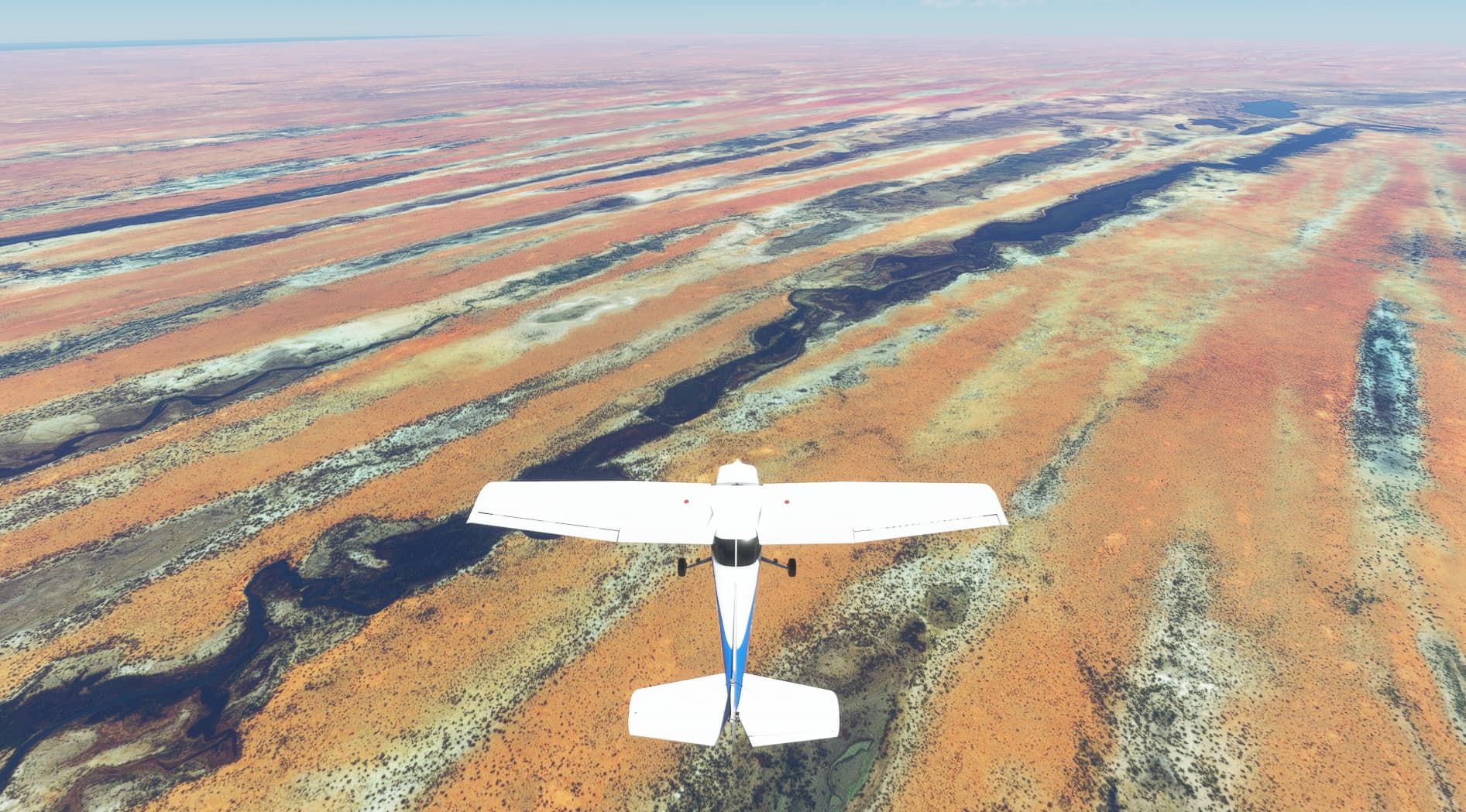
As I approach the border, off to the left is the great Lake, Lac de Guieres.
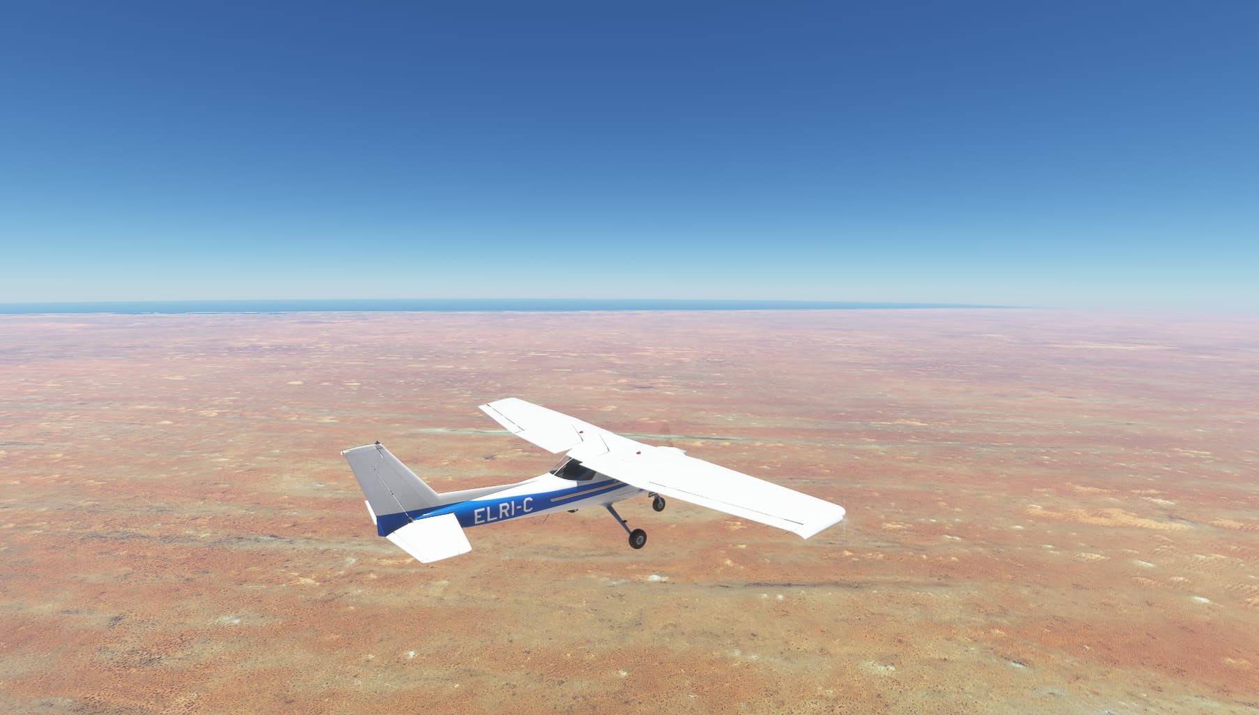
In such a vast and barren landscape, it’s certainly a wonderful sight to behold. And just about visible on the horizon. The Atlantic Ocean. My goal was finally in sight.
I was now about to depart from Senegal, and enter the forbidding landscape that is Mauritania.
But below came the very beautiful border town of Richard Toll. The Senegal side just covered with what looks like plantations following the east bank.

I was now in Mauritania, and before me what I can only describe as, as a very big beach when the tide has just gone out, leaving streaks of water in channels.
With the ocean and destination drawing nearer…
Then 50 miles out. Disaster strikes!
Severe bad weather had moved in, and I was denied landing.
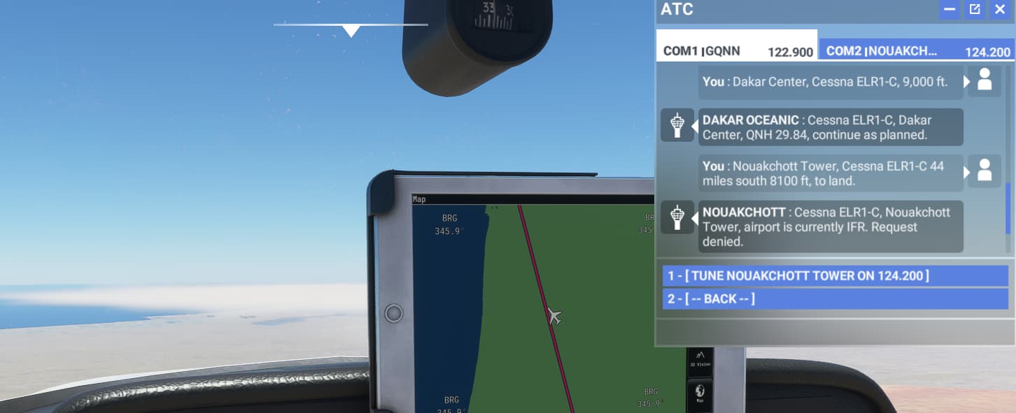
Going back to my charts, I found Nouakchott a closed down airport 12 miles short of my destination. That would have to do. Updating the gps I changed course.
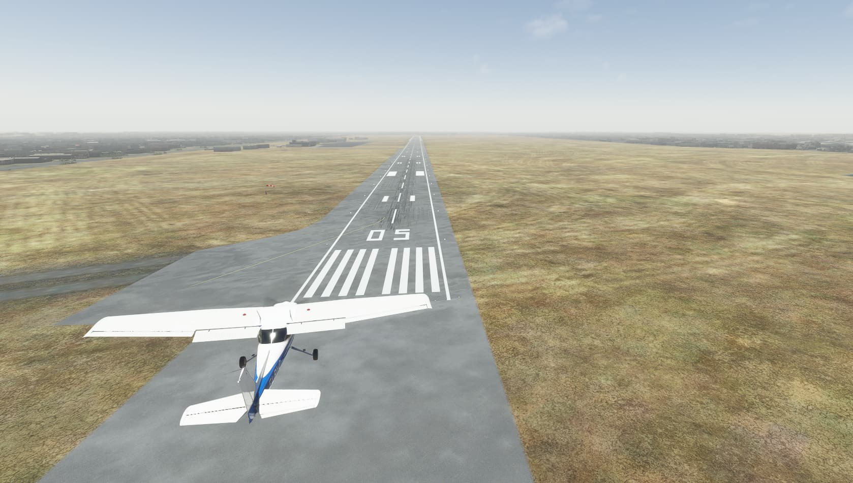
I eventually arrived at Nouakchott, and as I made my decent I circled the runway.
The plane was now beginning to be thrown all over the place.

Finally it was time to make my landing.
I could barely keep the plane pointing at the runway.
With pure luck (though I admit it was a very hard landing), I managed to bring her down smack in the middle.

Bring the old girl under control, I turned about and headed for the parking.
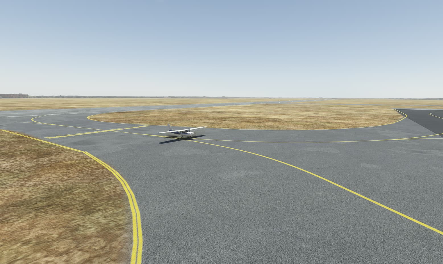
Parked up, I opened up the doors and sat back.

It was now time to decide what to do next.
Tambacounda (GOTT) to Nouakchott (GQNN)
Distance: 347 miles
Leg 1: Complete (Just about!)