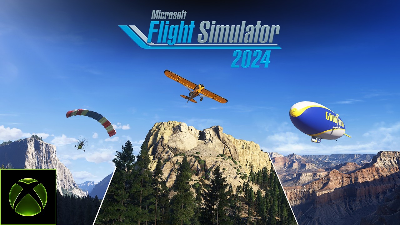
Looks good to be fair
Ok, that’s pretty awesome. I will definitely be featuring that.
Also - nice bumper for the air races at the end!
Nice. It’ll probably never look that good in reality (especially in VR) but I’ll take it.
I never fly in US but this looks really nice, will definitely try this out
Roadmap also noted that June will have a city update, wonder if we will get details on that as well soon (do hope its Europe  )
)
Will we get wing suits?
I would guess the next City Update coming this month will be for Minneapolis/St. Paul area for FlightSimExpo 2026, since it’s being hosted there.
Very excited about this world update… can’t wait!
I know it’s all capitalism, what sells and such, but the USA getting more updates than the entirety of Asia and Africa combined is kind of grim
Yes I totally love looking at the clouds printed onto the ground in Eastern Europe or West Africa, great sightseeing
As an American, I agree – that said, it’s more to do with public access to map & terrain data (ie Africa restricts or lacks these public maps, as does China/Russia/etc) so it’s hard for MSFS to obtain, from what they say.
Not all of Africa or Asia retrict access to maps. All airlines who operate in these regions have access to Maps. Microsoft has access to maps - Airbus has wonderful close ups of the entire world - they just have to purchase them! Thats just bluff so they do not have to buy in areas they have not previously!
While there’ll be some element of chicken and egg (no good scenery for location [x] so why should I fly there), I’m sure Asobo’s metrics tell them where everyone likes to fly so that will factor heavily into which areas get the most focus.
Does it mean this would be the first WU without any bespoke airport?
Not necessarily. There are a number of NPs that have airports in the vicinity - e.g. PAIN (Denali), KBCE (Bryce), 21W, 55S (Ranier) that might be included as bespoke airports / airstrips. Unless they make a further announcement of what’s included - or participants at FSExpo get a sneak peak of WU22 at the Microsoft booth- we’ll all find out on July 4th.
MuSaFS24 

I think its absolutely fantastic and I can’t wait for it. I just hope its all done as well as the current Grand Canyon. I didn’t think it was every national park though… it would be extremely great if it was but I have my doubts. National Seashores are part of the natl park system.
I hope Moab area is included but even if it isnt, the update sounds fantastic!
In addition to the aforementioned:
KJAC is in Grand Teton
That and KWYS, KCOD, and 29S are all Yellowstone-adjacent
Stehekin (6S9) is next to North Cascades
Ranger Creek (21W) is adjacent to Mt Rainier
Granby (KGNB) is close to Rocky Mountain
Canyonlands has, well, Canyonlands (KCNY)
For Zion, you could use KSGU for just about any small to mid aircraft, but Dick Stout field (1L8) is closer
KGCN is adjacent to Grand Canyon, along with Bar Ten (1Z1), Marble Canyon (L41) and Grand Canyon East (1G4). Even Page (KPGA) would work.
KBHB is adjacent to Acadia
Yosemite you could do Mariposa-Yosemite (KMPI), but I’d recommend Mammoth (KMMH) and Lee Vining (O24) as well
Terlingua (1E2) and Lajitas (T89) are next to Big Bend
Several near great Sand Dunes - Alamosa (KALS), Center/Leach (1V8)
Death Valley has Furnace Creek (L06) and Stovepipe Wells (L09), both in the park.
Badlands has Wall (6V4), which would be a hoot, and KCUT and ■■■■ (Rapid City - wow that airport code is filtered out? That’s stupid) close to Mt Rushmore.
Crater Lake is a little tougher - maybe Prospect State (64S)?
Glacier has KGPI (literally Glacier Park International), and if you want an awesome, private backcountry field maintained by the RAF, there’s Ryan (2MT1)
And all these (with the exception of 2MT1) are just the public airports near the parks highlighted. The US has a ridiculous amount of public aviation infrastructure to begin with, and the National Parks often go hand-in-hand with it.
Is this only for 2024? Looks like countryside TIN which is not possible in 2020. Hope someone from Asobo can answer.
It’s not the maps that are the problem (unless there’s been a licensing issue.). It’s the ability to get the aircraft in to record photogrammetry and DEM and ground texture data. Jorg may not feel what area he has access to is worth the investment.
GIS data is amazingly lucrative, and useful in all sorts of capacities at Microsoft. This data we see in FS is used in many other business ventures. So the cost of obtaining it is not the issue, especially if no one else can get access to it, unless the cost is eyewateringly overpriced. It can pretty much only be legal access and licensing.
Don’t forget KFLG and Tuba city and Page… You’re right, your list only scratches the surface of available airports they could do.