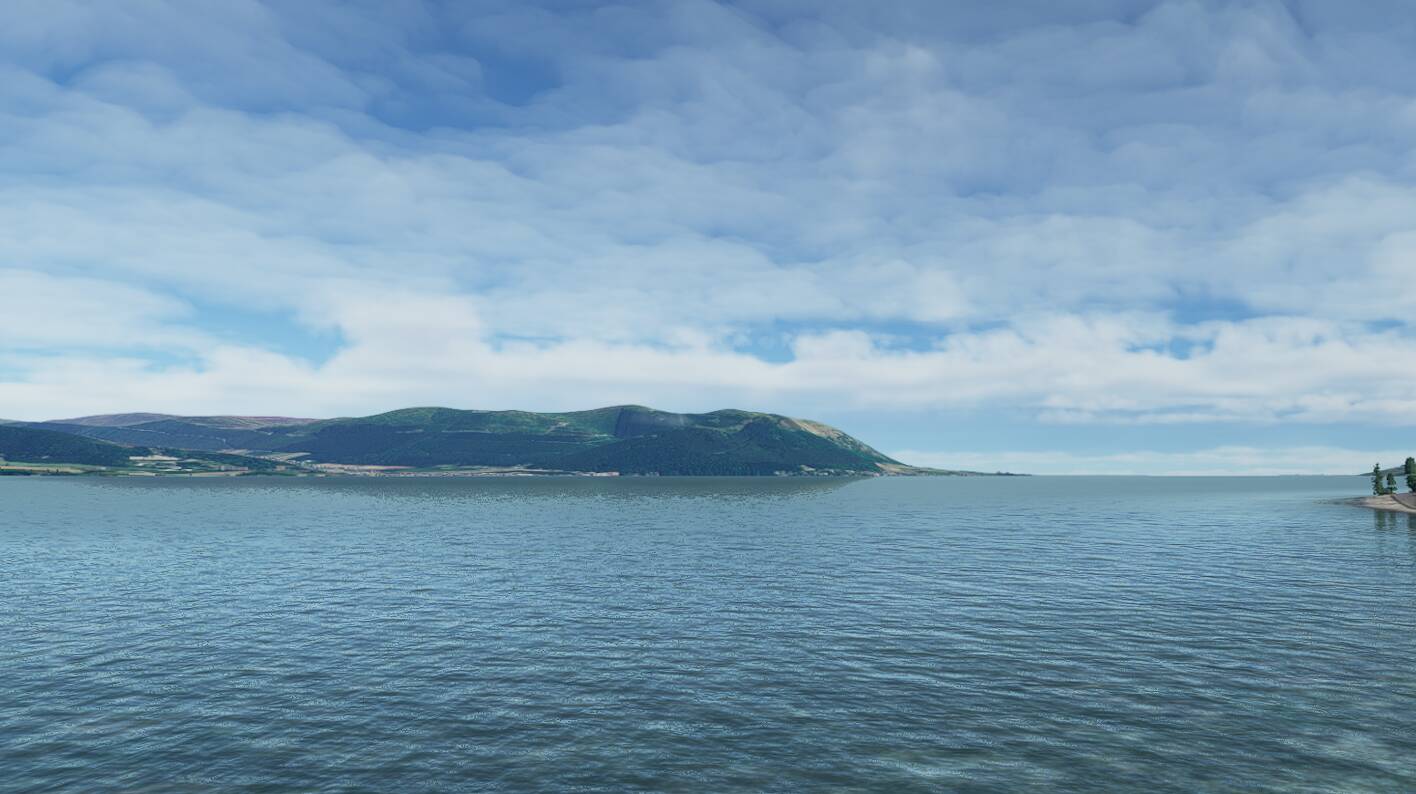
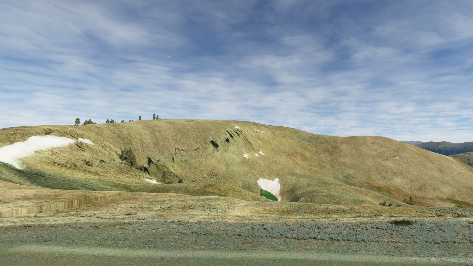
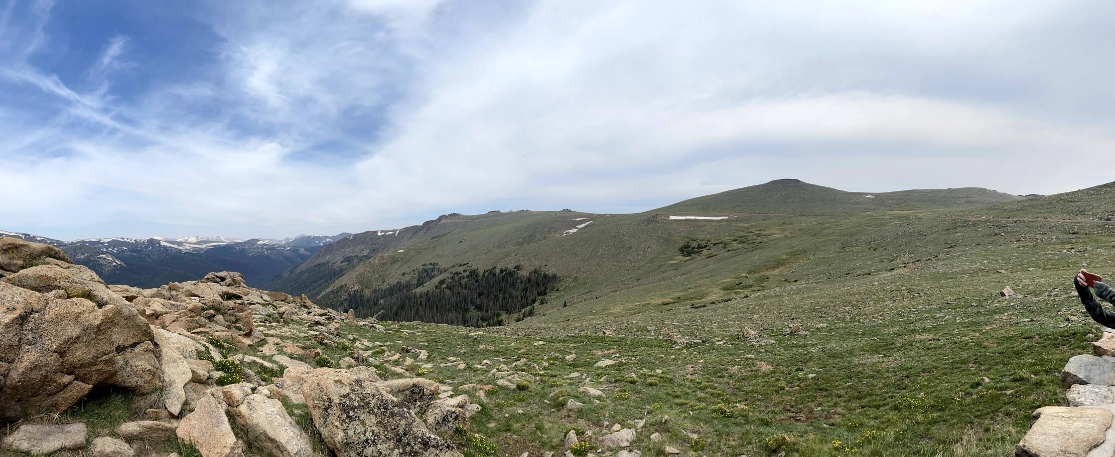
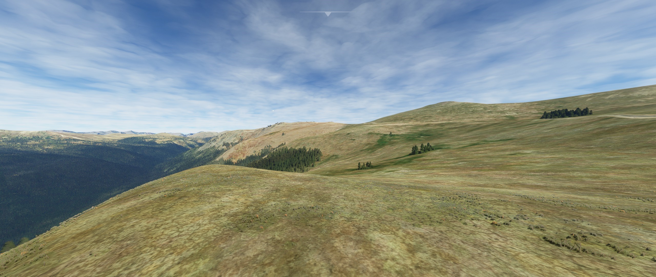
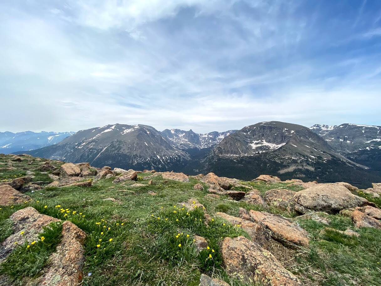
Mont Veyrier / Mont Baron, near Mont Blanc,
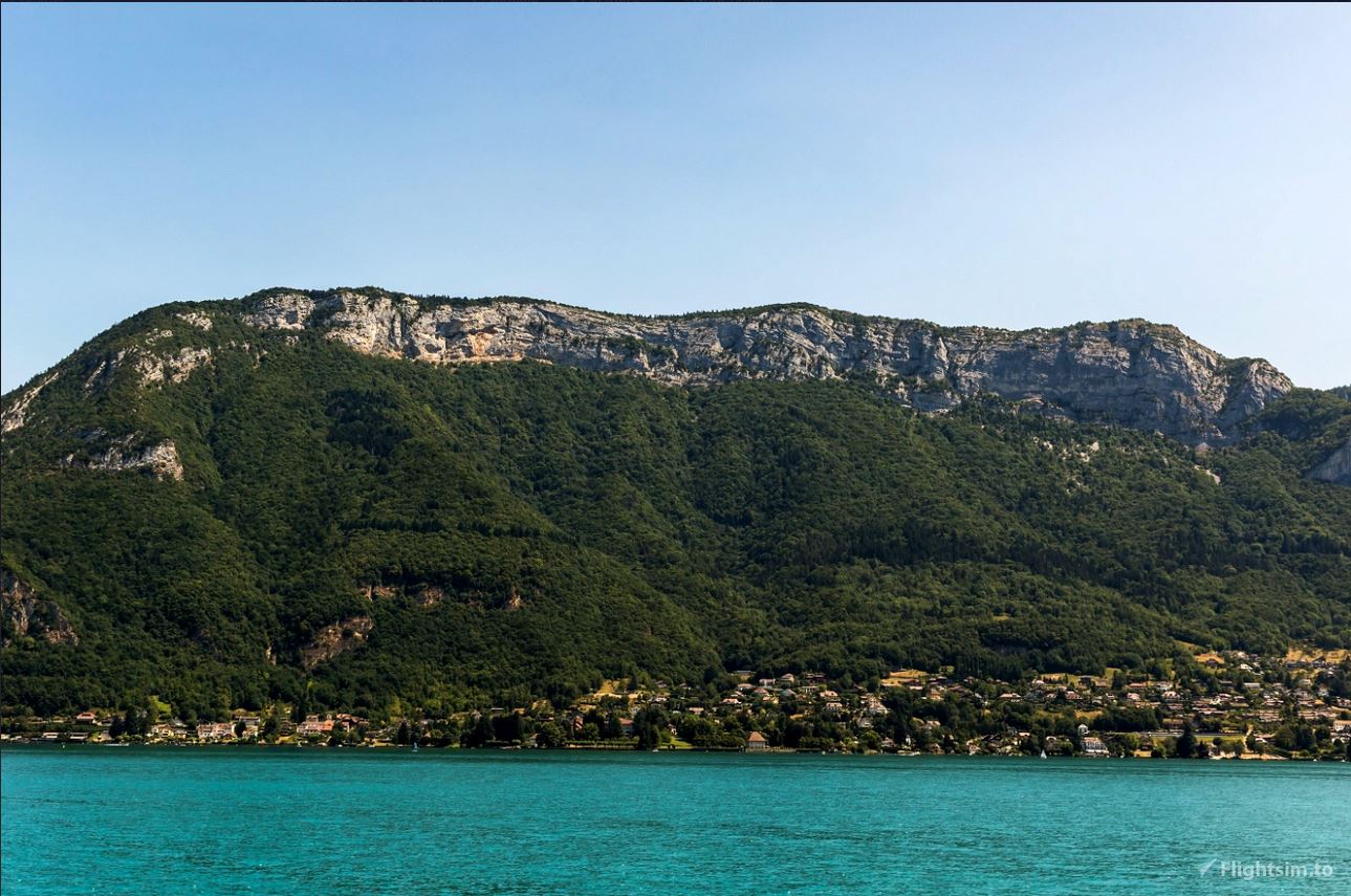
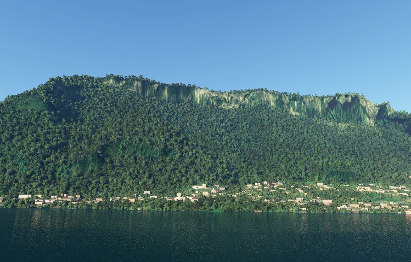
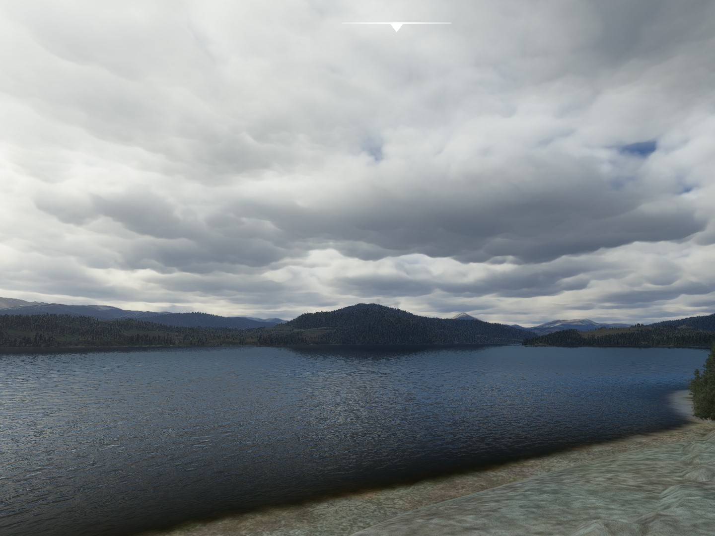
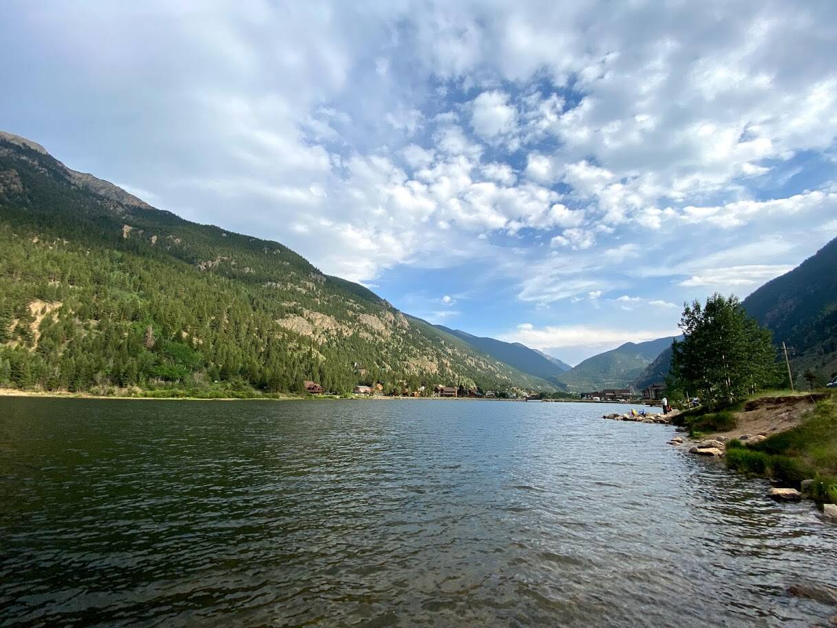
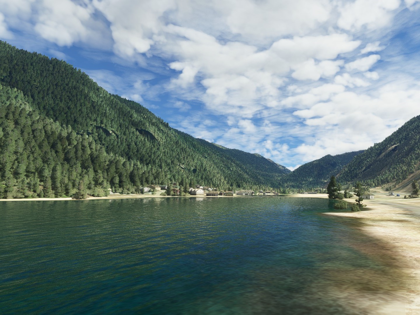
what a pity that it is not possible to adjust the color of the water, the turquoise of the lake water is missing in the simulation
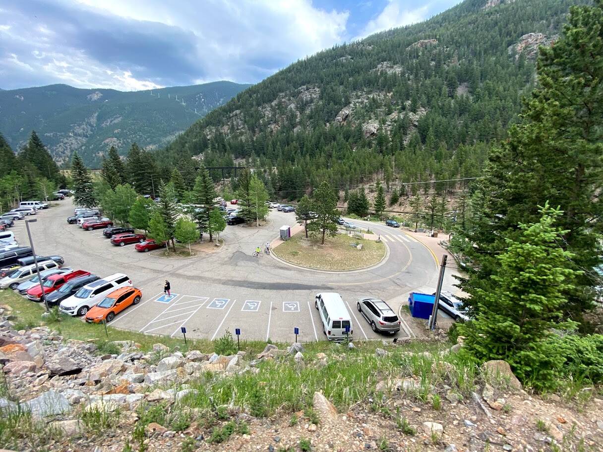
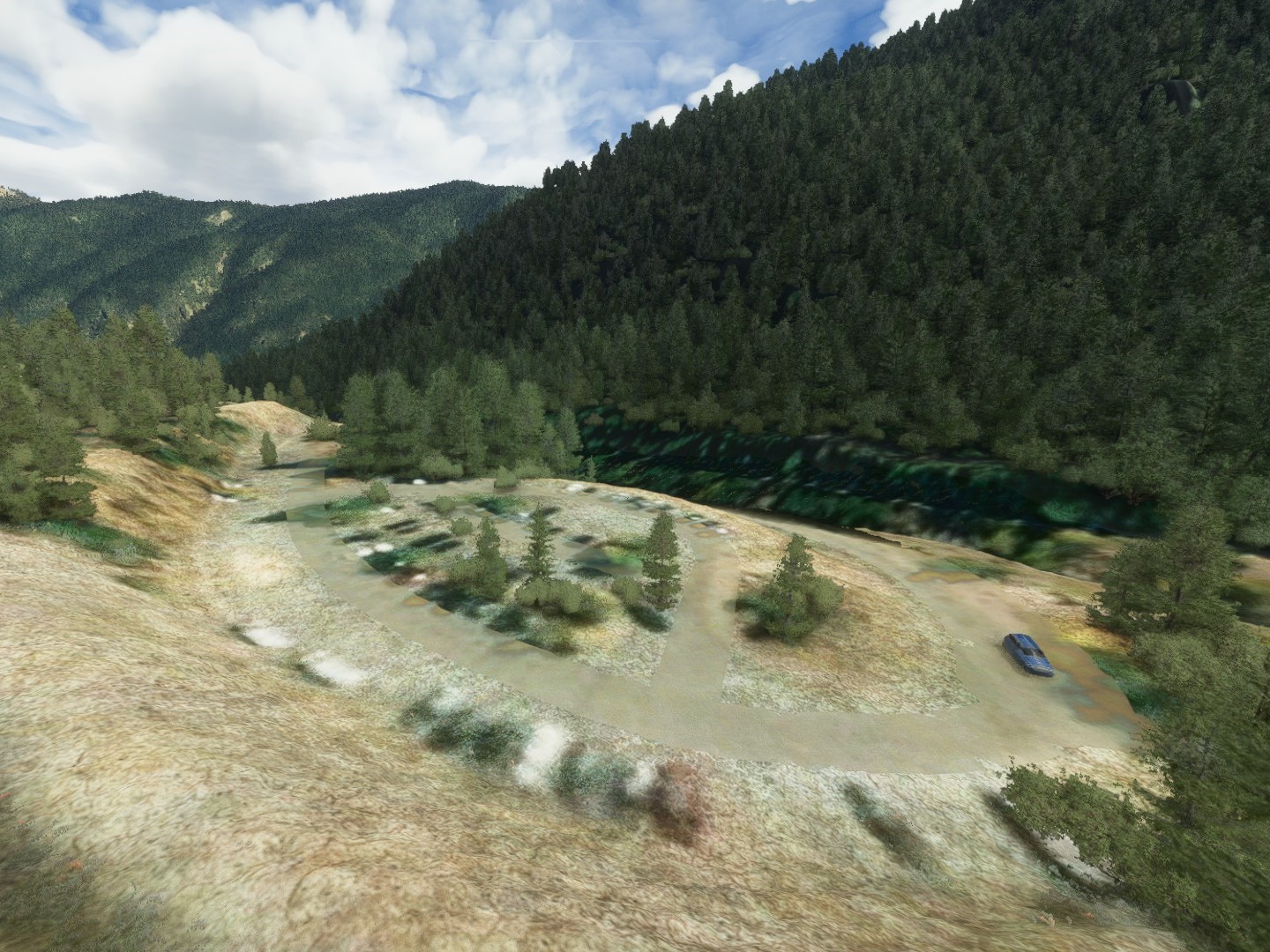
For everyone’s information, the challenge is to find the real images contained in the description of this flight plan by following it:
https://flightsim.to/file/15424/france-between-the-alpine-lakes
additional clues: the photos are placed in the order in which you will cross them in the flight plan and are a waypoint or nearby
Agree. Put it in the wishlist, I’ll vote for it. Water should have a base color, not only a mask over it.
it would be better but never perfect: if I see the three lakes close to here (Annecy, Bourget and Leman), one is turquoise, the second midnight blue and the last green. How to predict that?
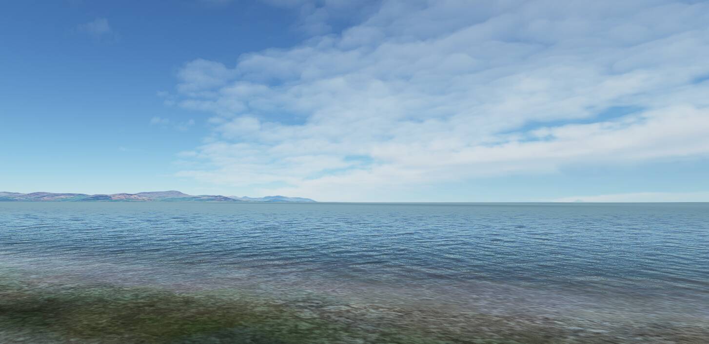
That would be determined using the aerial images of the region. Same trick as photogrammetry. Color could be taken into account, the info is available. (let’s not proceed discuss here.. this topic is for images)
In 2012 I visited Cappadocia, Turkey. I took the opportunity to fly a hot air balloon at sunrise. It’s a fantastic experience, watching the unique landscape during the golden hour and see the sky filled with balloons.
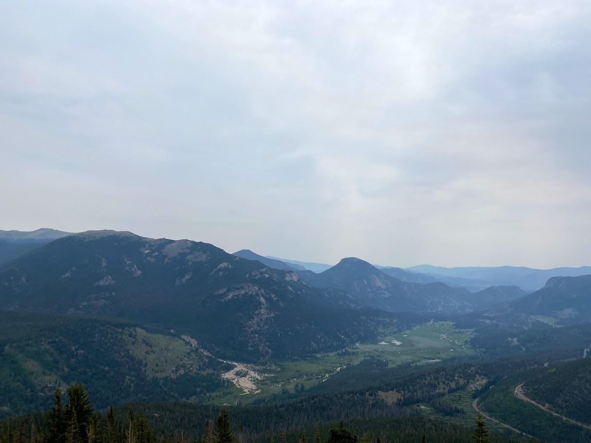
I recently found some photos that I took from the balloon ride and wanted to see if I could find the spot where the photos were taken in the simulator. I took off from Nevşehir Kapadokya Airport (LTAZ) and flew south-east towards the towns of Göreme and Ürgüp, which I remember visiting during my trip. I believed that the ballon should have taken off somewhere around that area.
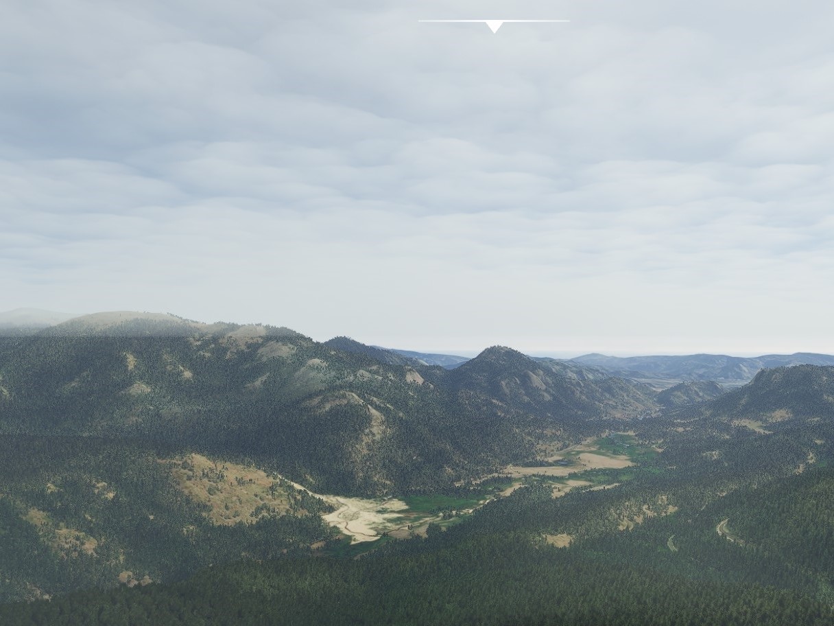
Eventually I spotted a mountain that looked very familiar. I compared it to the mountain from my photos. It looked pretty much identical. From there I didn’t take me too long to find a place that matched one of my photos. The screenshot angle is slightly off, but it has to be the same spot.
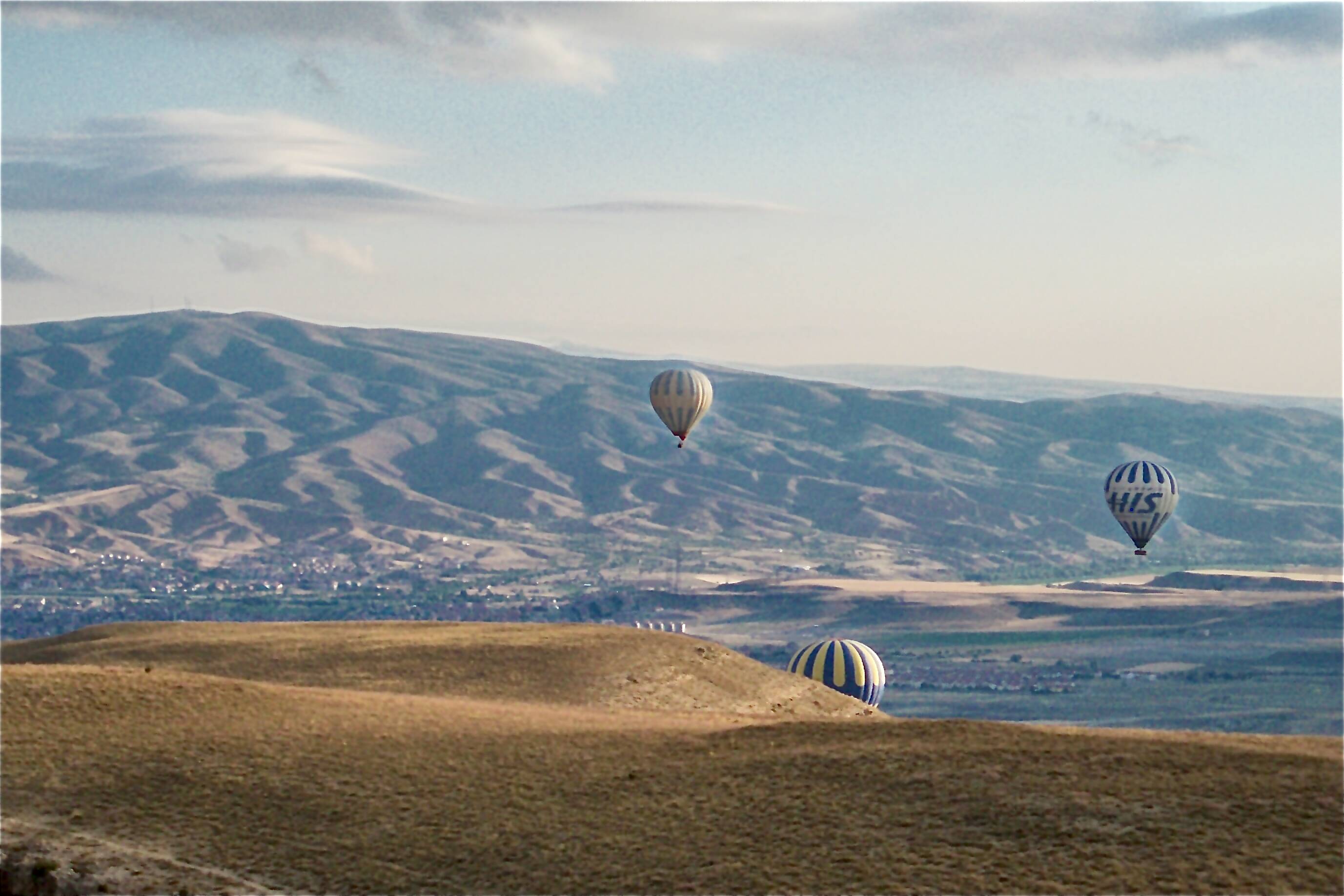
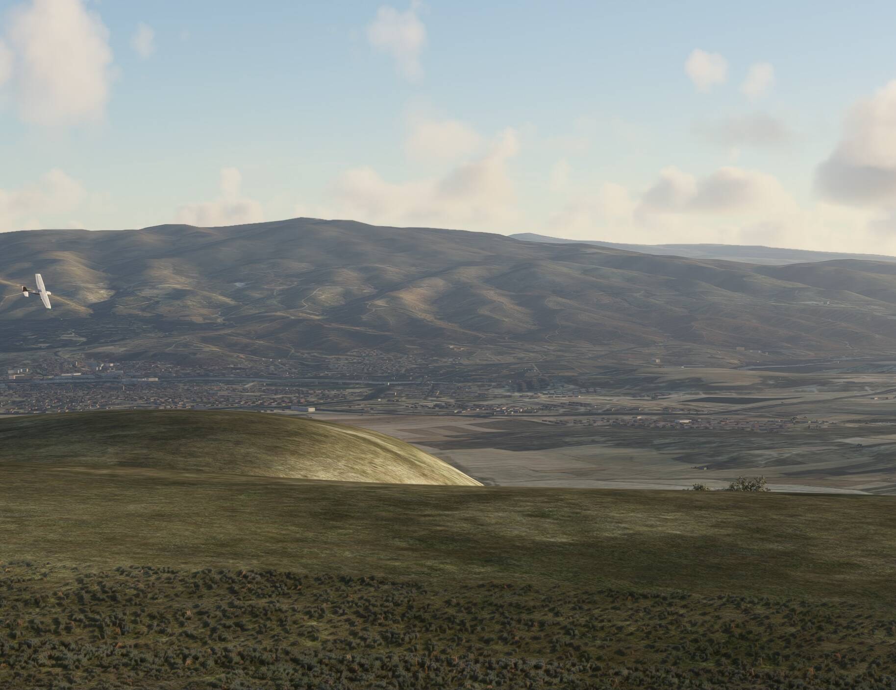
Are you actually kidding me…wow..this is a dream.

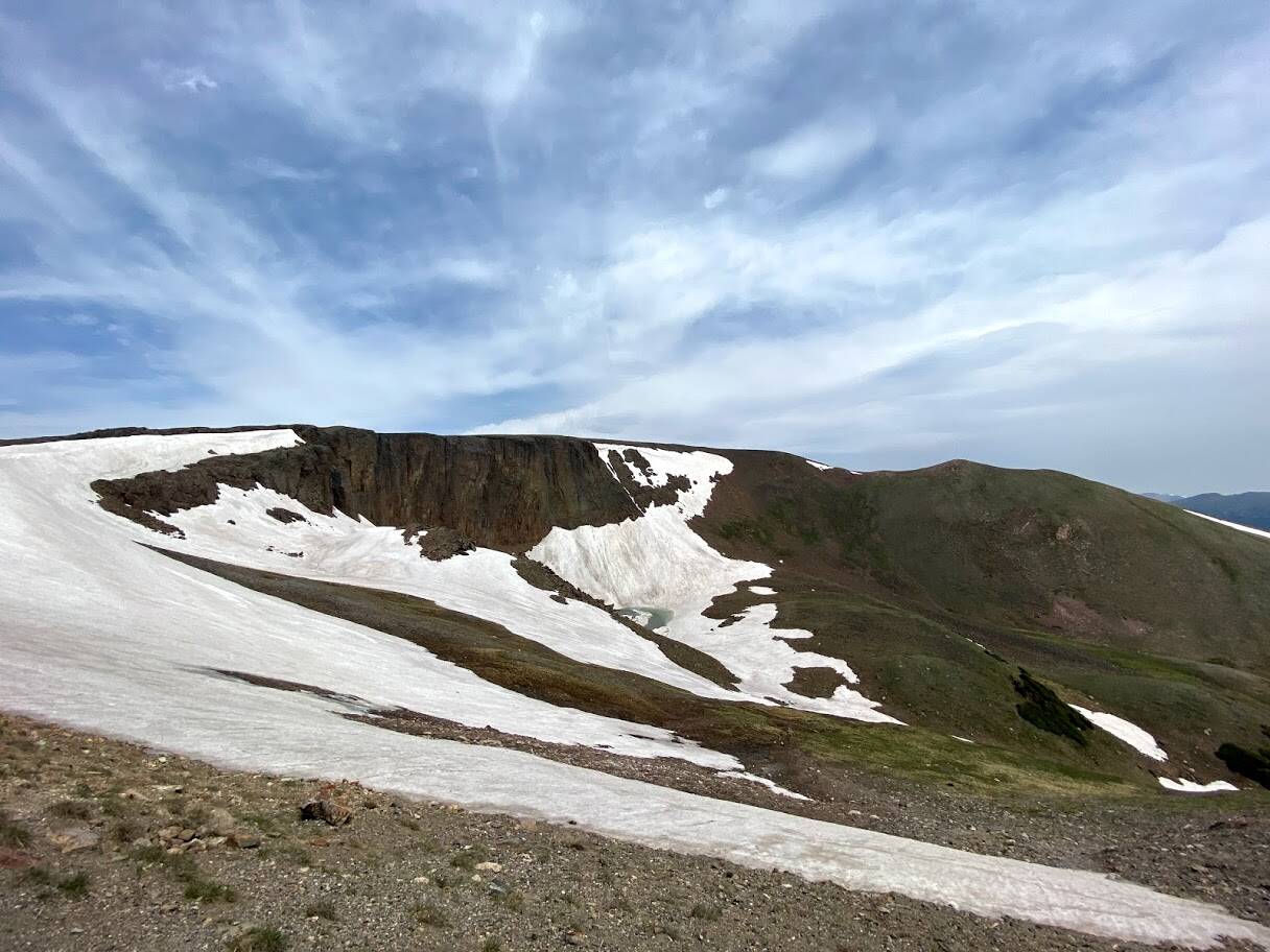
That big crack reminds me of certain Looney Tunes episodes ![]()
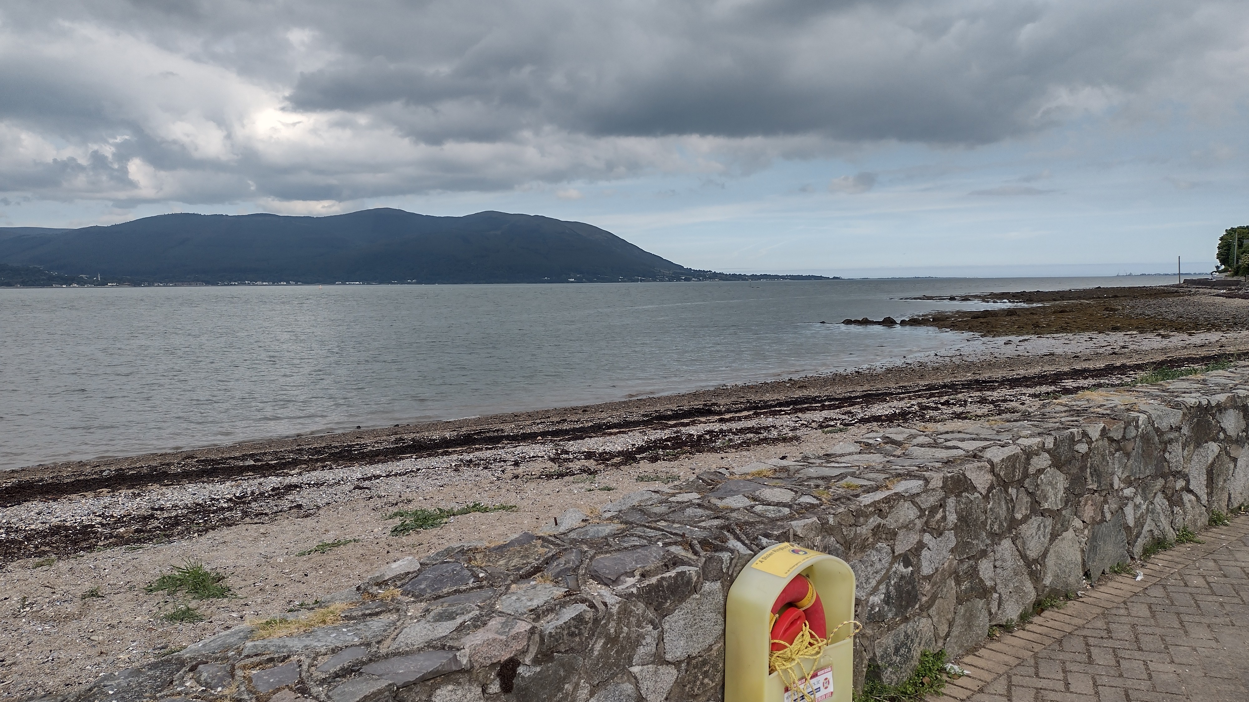
The colour seems off in the sim, it’s more gray irl