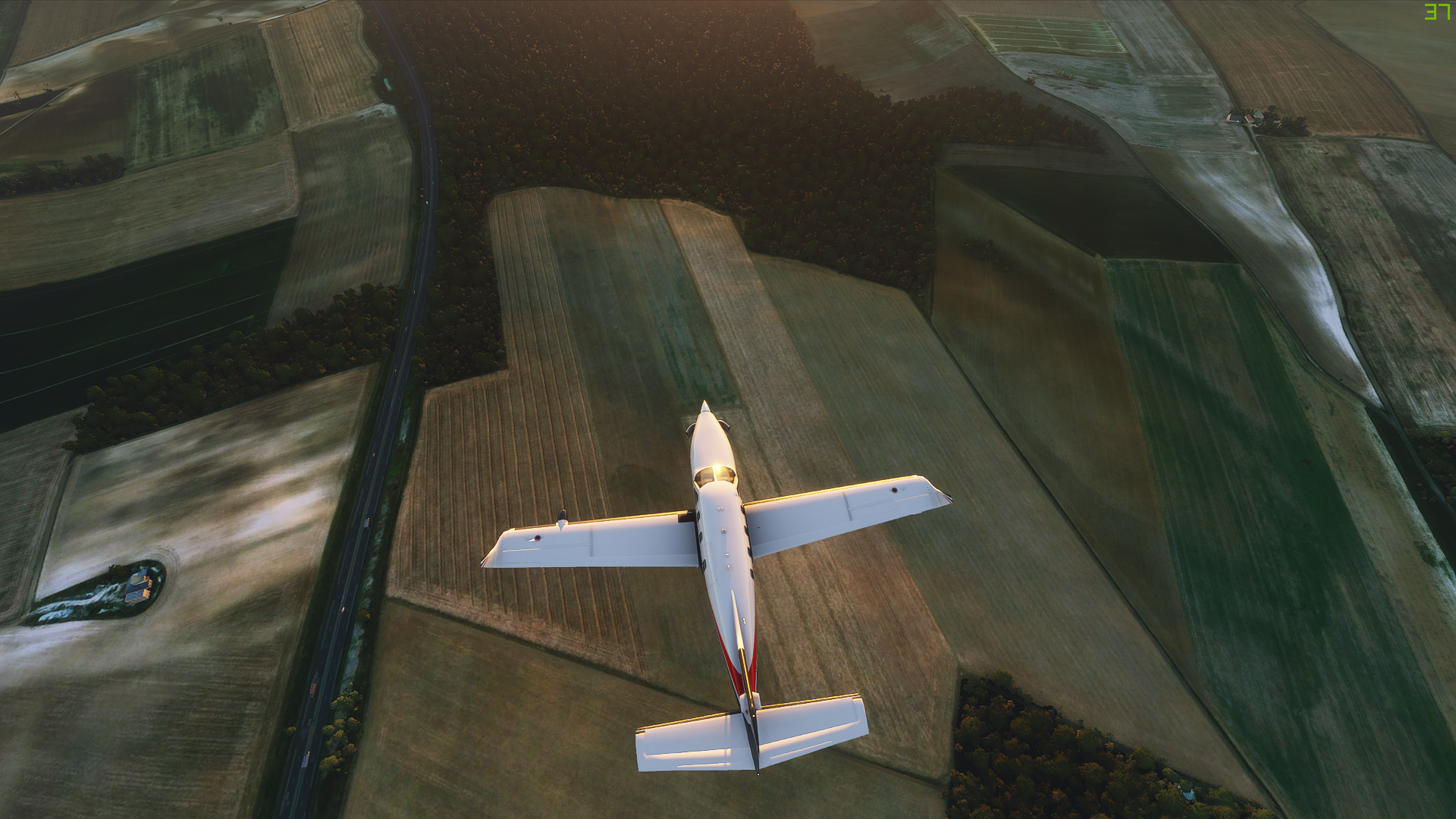
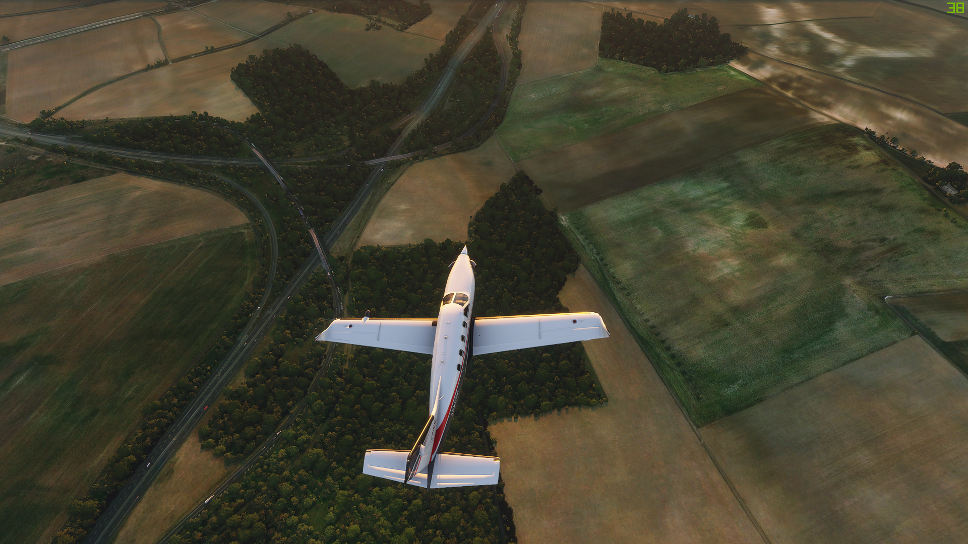
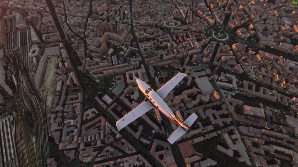
Not every green road/street is wrong. There are many that colour, especially in southern Holland, Belgium and northern France, usually secondary routes. That green is very close to the actual colour btw.
A lot of the autobahn(s) are concrete, so it may be blueish in some light situations, maybe too much so perhaps.
You should be able to find brick red roads in England too. Not brick roads, actual red painted/tinted asphalt.
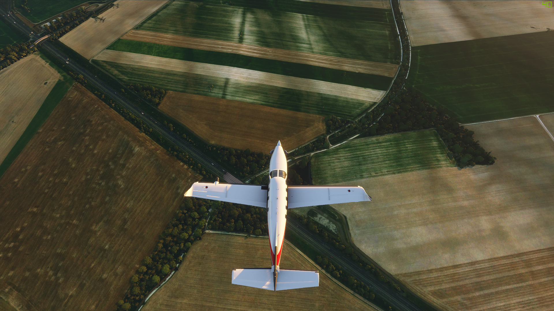
True that but german autobahn is never greenish and most of the normal streets are grey too. I think that trees next to streets are the problem. In Germany we got many alleys
We must not mix up Google Street View and aerial/satellite images availability.
While Street View is indeed very limited and outdated due our gorgeous German data privacy regulations, aerial and satellite images can still be at a high level of quality and completeness.
Yet I also noticed the greenish color of our Bundesautobahn.
Also remember that images are taken from Microsoft Bing, not Google.
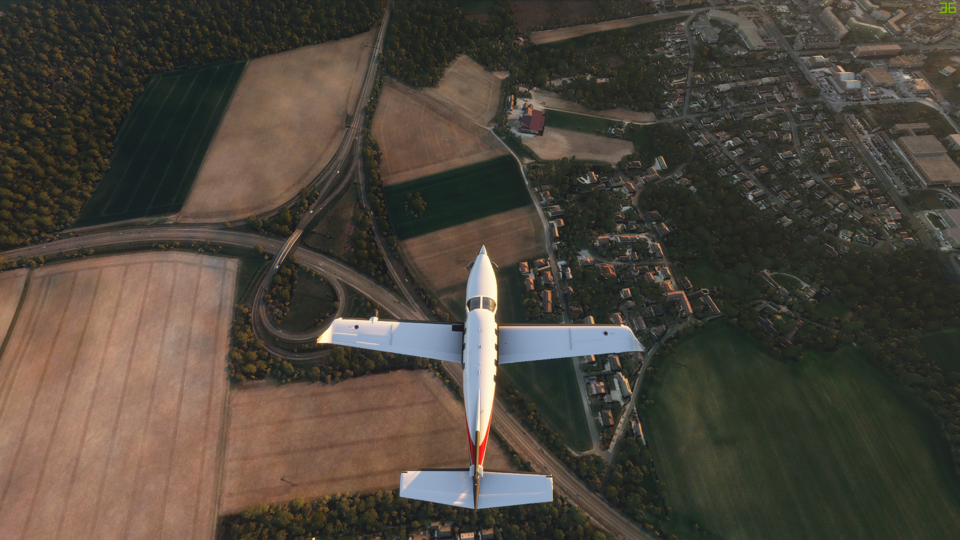
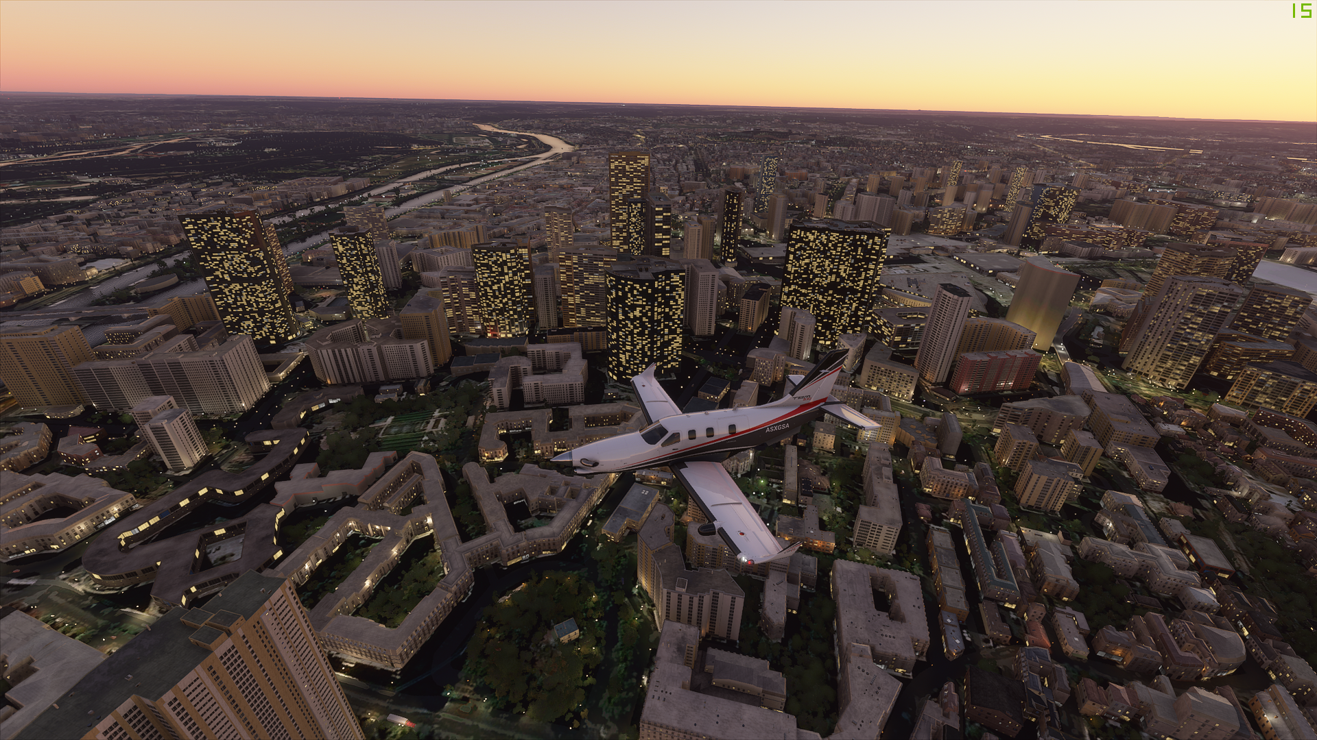
Its just the quality of the satalite images. I get the same thing flying over rural areas in the United States, lik where I live in Michigan. I know I live in a rural hillbilly area but I am pretty sure our roads are paved (most of them lol) and not covered in grass. As soon as I get to an area that is more populated like a larger city it switches to 3d satalite data and everything looks great.
While it doesn’t look fantastic at least the roads are actually where they should be and I can follow them. Unlike the default scenery in this sim or xplane. Honestly though the default scenery in this sim doesn’t look bad.
I found out the same too. Flying near Hoover Dam, same crappy looking roads. Never seen a green highway before…
Also, if you want to see something funny, fly east from Boulder City following the Colorado River. Boy, is it messed up. Chunks 100m above the rest of the river…hahahaha
I really dislike the state of the roads in the sim at the moment. They need to use some overlay texture to sharpen them up and get rid of car imprints. I know this can look really unnatural but orbx has nailed it in xplane ortho scenery. Would rather have roads that stand out a bit than the weird coloured blurry texture we have now.
Edit: I should have read the post above.
I wonder if this is some kind of bug. Why have blurry ortho roads with data on but the nice overlay roads with data off?
Yeah you would have though some kind of hybrid / blend between the two would be better than currently. It stands out even more when nicely textured bridges are added onto the “green fuzzy” roads…
I started wondering, if they could do it with a bridge… why didn’t they with roads, especially since its pretty well mapped out for them to have traffic following them… and low and behold, they did…but offline ?!?
Still… from a reasonable height… it still looks great
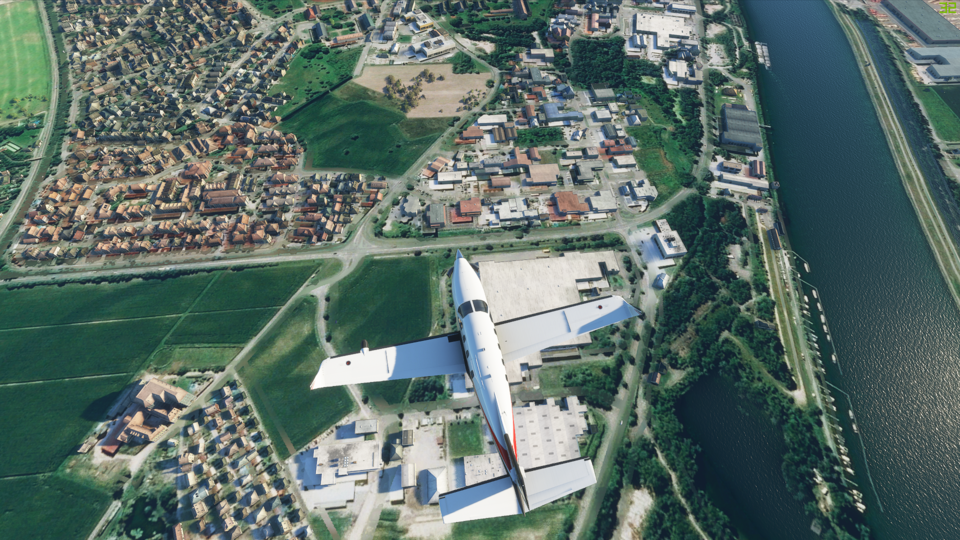
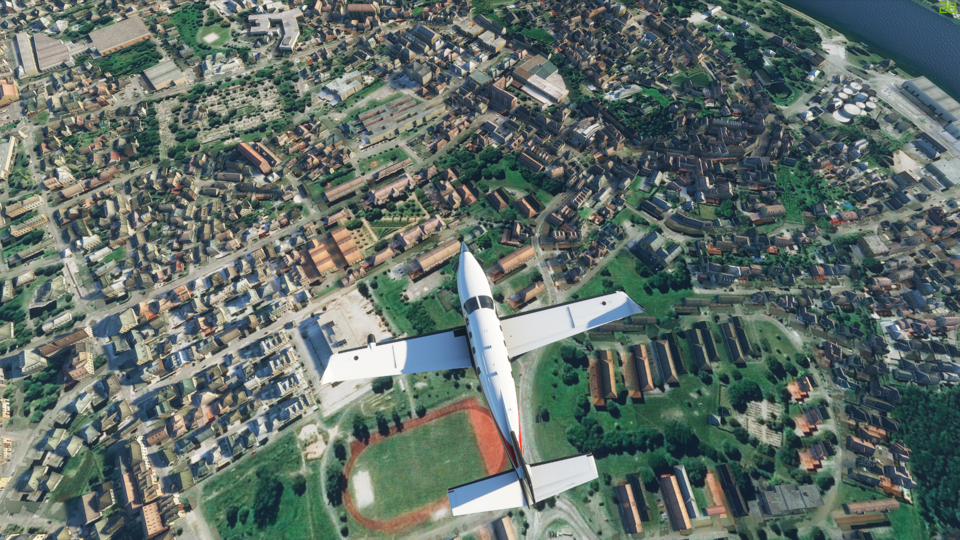
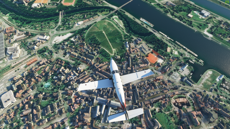
There are a ton of misalignment issues with the vector road data, and the aerial imagery. You can see it all the time where the AI car traffic is off the road, misplaced from the aerial road imagery. If they redrew the roads using that same data, it would probably look terrible in a lot of places: grey polygons inexplicably tearing through the scenery and buildings. I think in several areas the highest res aerial imagery would probably look better than the generic, “strips of grey” autogen roads too as it preserves the actual color and markings. Asobo probably decided to keep the aerial imagery and limit official screenshots to >1000 feet over the aerial imagery lol.
I wonder if some if it is just a placeholder so it’s easy to locate where roads should be, maybe it is something they will work on in the future. Or maybe it’s not lol
This isn’t just in sweden you will see it in every country.
I’ve seen plenty of Swedish asphalt roads that are green. Same with gray residential area roads, and some major intercity highways in Sweden end up as mud roads at some locations(!)