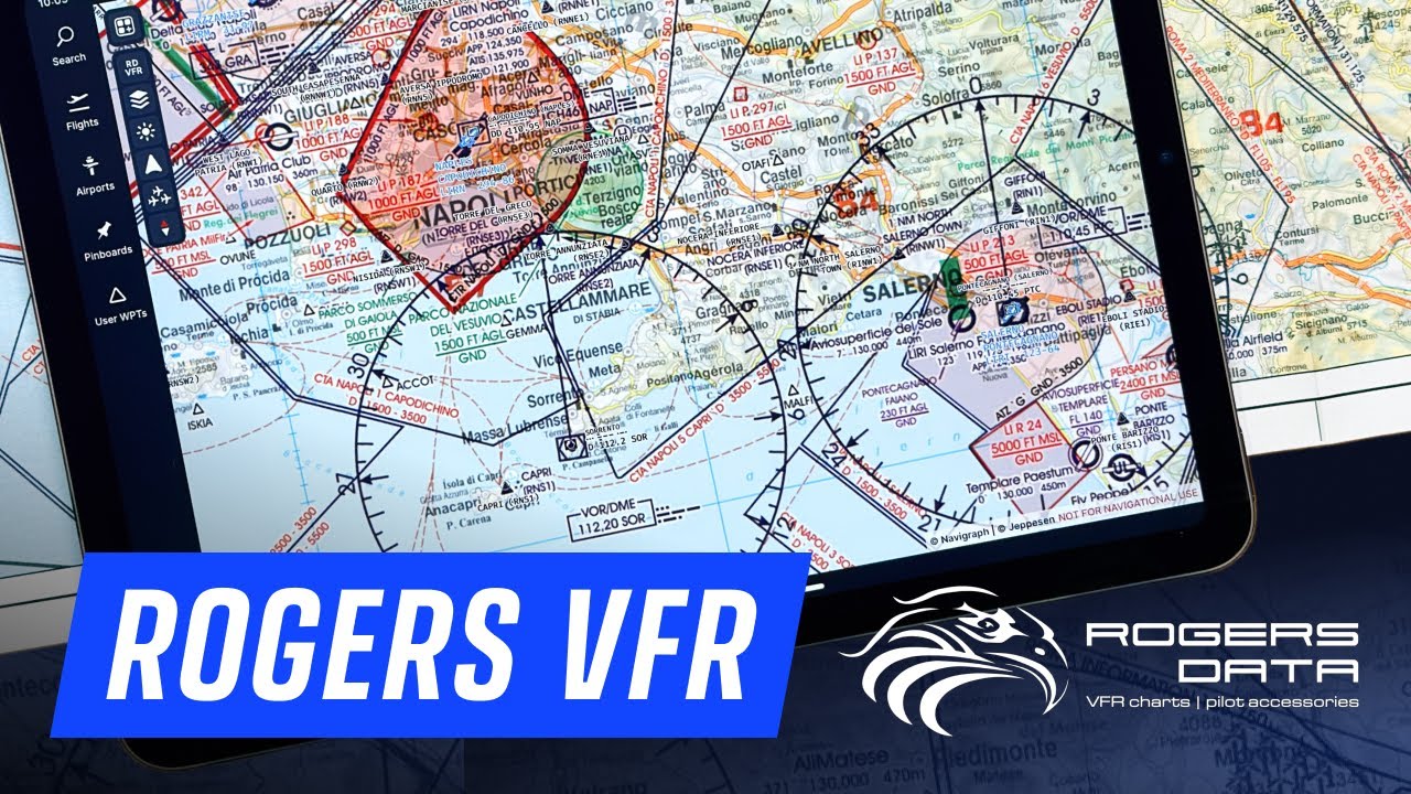
Navigraph now has Rogers VFR overlays for Europe included in Charts. Just looking at them now, very nicely done.
You can get the map legends as PDF downloads from Rogers website.
Navigraph now has Rogers VFR overlays for Europe included in Charts. Just looking at them now, very nicely done.
You can get the map legends as PDF downloads from Rogers website.
Are Rogers vector-based or scan? If it’s scan… it looks like last century technology.
Looks to be raster based, but quite a decent resolution, similar to the FAA sectionals.