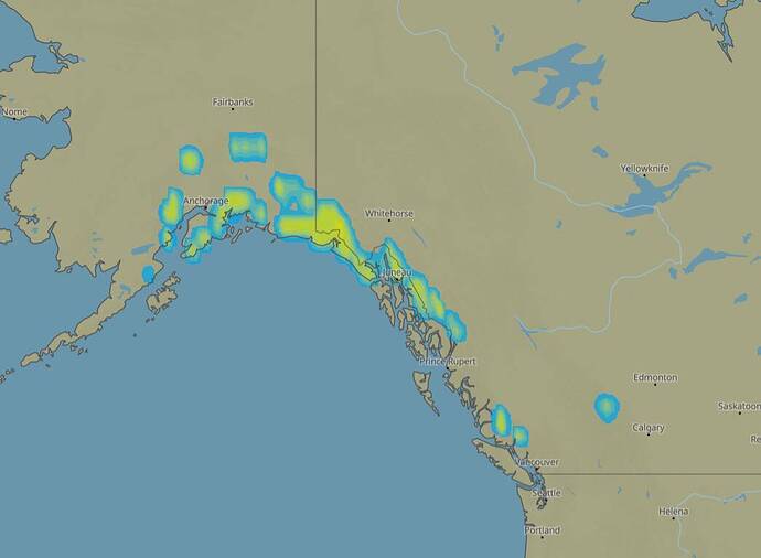
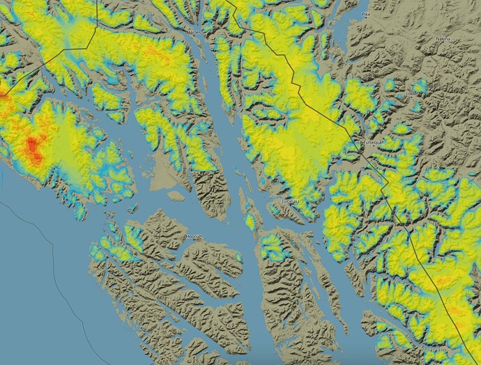
MSFS uses meteoblue for snow coverage, but unfortunately the lowest resolution which means snow on top of mountains often bleeds into the valleys and lower areas. It completely ruins large parts of the alps for a majority of the year.
Here is Alaska snow coverage today
If you zoom in you would get proper data, but unfortunatly MSFS doesn’t use that
Please upvote the existing thread here
They have not even acknowledged yet that this problem exists, let alone announced a fix.

