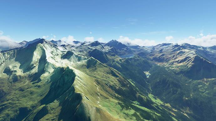
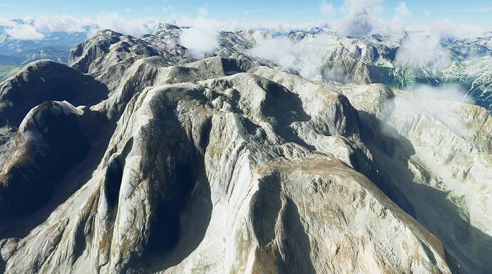
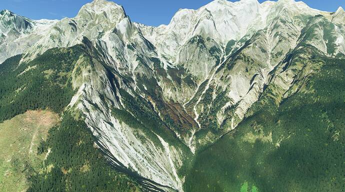
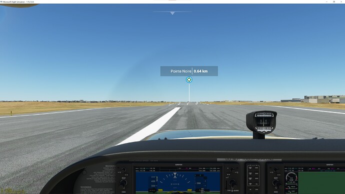
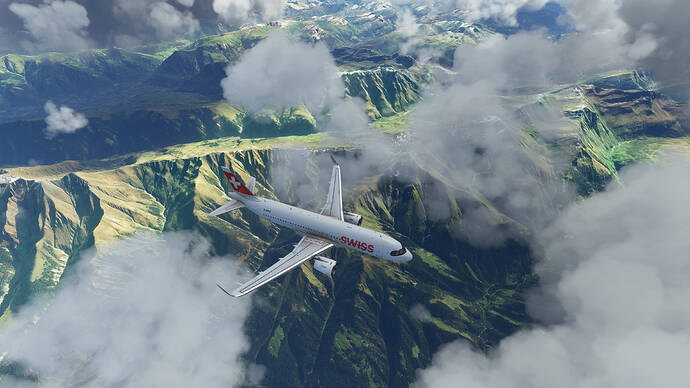
The past couple days I 've been flying in Austria (10m) with this new free pack from flightsim.to. And just now, I took a flight out of Samedon (free airport by SDR, amazing in itself). It just blew my mind in VR. Clouds, I swear were by Maxfield Parrish at 5:45 AM and snowy mountains galore. These packs are by Troglodytus. Switzerland (20m) and Slovenia (20m) were just added today.
I didn’t notice any difference in performance.
https://flightsim.to/profile/Troglodytus/uploads
14 Likes
Very nice! Thanks for sharing!
A question I have though, how are the borders to other countries?! E.g. Austria and Germany? Or Austria and Italy? Or is there some kind of transition between the 10m DEM addons and the default MS 50m data?
Another question: how about Lidar data, which shows all buildings and sometimes trees as height profile, and therefore shows the terrain a little bumpy or meseta in city (buildings & trees) and forests (trees)… if not modified by hand. That’s why e.g. swisstopo elevation data suppresses all artificial construction and shows terrain as itself… is this scenery mesh well corrected in relation of upper written specs of a raw Lidar?
I’ve been using the 3 packs from Troglodytus and the Italian DEM from the same site with no impact on the frame rate. In some spots you will notice the change but never in a way that’s disturbing for the experience - and this stuff looks beautiful.
He also suggests to rename some folder if you’re using meshes for, say Austria and Switzerland, so that the better one comes out on top where the zones overlap - see the description on one of the download pages.
While you’re at it have a look at his airports. He’s really one of the great contributors to the community.
2 Likes
Posted in another thread but I think it fits better here. Some screenshot of the Austria 10m mesh: 
6 Likes
Very nice! Thanks a lot! Guess I have to refly my route from Linz (LOWL) to Venice (LIPZ) 
2 Likes
Yeah, I haven’t noticed big differences when getting close to the boundaries of elevation data. There are gaps, I think, in the data where the occasional mountain top appears smooth to me. And, of course, the usual differences in terrain data where you get a hard line between different seasonal photos. I really enjoy how the lakes and rivers appear more flat to the terrain like they should be.
Can someone post some photos of airports (at your pleasure) how runways and parking areas are affected?
Unfortuantely, I didn’t take screenshots at the time. I haven’t noticed anything on the few airports I’ve been to, mainly Innsbruck and his free LOWK. He does have a list for the Austria pack:
Freeware
Tested several freeware airports, they were mostly fine except of a few floating buildings here and there.
Payware
LOWG, LOWZ, LOIJ work perfectly fine for me
LOWW has floating taxiway signs
LOWS has floating buildings
LOWI has a bump in the taxiway, but this seems to be a known problem a priori.
did you use the updated version? Troglodytus excluded several areas around several airports
1 Like
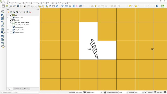
For the moment around the airports where I am testing the MSFS Toolkit program there are problems with the flatten … the solution for now is to completely exclude all the airport grounds.
These photos are with a version of the program without the option exclude … to see how powerful the effect of the new terraim mesh is. Thanks to the work of @Paavo the terrain mesh is created using MSFS Toolkit by Nool Aerosystems (https://msfs.nool.ee/)
And now these meshes introduced a lot of problems for freeware add-on airports. Some creators decided to use the meshes and release patches to their airports, others do not, it will be a bit of a mess ti find out which update is doing what, unfortunately. I guess the best way would be to exclude all airports in them so all the add-ons made with default DEM work until an official DEM upgrade from Asobo.
Yep, I agree. At this point, I’m willing to do the patching and testing to see. I patch a lot of freeware stuff daily, for more than this awesome free content. They’re not obligated to make their stuff work with every freeware piece out there. But he (I really don’t know if it is a he  ) has been patching it for payware airports and taking feedback. Seems to be actively doing that, actually.
Basically, that’s half this Sim; patches from Asobo, patches from Payware 3rd Party Devs, and patches from Freeware Devs. It’s sometimes a pain to keep up, but Asobo made this with 3rd party in mind. We’re going to see a lot of abandoned projects and duplicates over time. Ahem, London Orbx, I bought that. I’ve never downloaded so much stuff for a single game/sim or joined so many 3rd party sources.
True, all 3rd party LIDAR imaging can become redundant when Asobo gets around to it. I think it’s a risk with Orbx New Zealand. Or even that Seasons for Trees in Simmarket. Seasons are on the MSFS roadmap too. Also, I think IT IS up to Asobo to get better LIDAR imagery to us, kinda implicit in what MSFS 2020 is.
There’s probably not going to ever be a simple answer for getting everything we want in this sim. But it’s been a blast seeing how inventive and resourceful the fan base is!
The free 20m lod mod kills my photogrametry. Specific in Zürich, no houses at all, not even generic ones. As does the payware 10m version. This does not happen with lod mods in other regions. Anyone other experience this?
Theres a new (Payware) 10m mesh for Switzerland and also one for Hawaii. I have contact with the developer and he has excluded the airports as it should be. He will update it if needed when users report problems with Airports. I reported some issues with Hawaii Airports and he released two updates and worked together with the Airport Developer (Northern Sky > Check them out!!!) to resolve the issues in just the first day of release.
Very nice to see developers listening to customers and even working together to resolve compatibility issues. 
https://secure.simmarket.com/taburet-msfs-swissalti3d-10-m-dem.phtml
2 Likes
really that’s how it should (at least) look like!
3 Likes
Those pics are from the freeware version?
I’m curious about something. I can see that Austria has a pack, so I will give that a go tonight. I wonder if this pack has any effect on the transparent strips we see in mountainous regions in certain conditions. I know of two spots near LOWI that do this, so I am wondering if this masks or eliminates that issue as the data has more data points to work with.
