Track On Air (VRFlights73) — VR flights with an AI voice companion copilot: new episodes in this thread

This is the home thread for the channel. New episodes go in here as replies, so if you want them you can hit the bell at the top right and pick Watching — that’s the only reason this thread exists.


What the channel is

VRFlights73 — helicopter flying in Microsoft Flight Simulator, in VR. Mostly the Robinson R66, mostly low and slow over places worth looking at. Not tutorials and not checklist runs: the point is what it actually feels like to be up there. No time compression, no cuts.

→ https://www.youtube.com/@VRFlights73/videos


What Track On Air is

A limited run of test flights recorded while I build a voice copilot that rides along in VR.

I hold a trigger and ask — “what’s that down there?” — and she answers, because she can see what I’m looking at. She knows the aircraft, the altitude and the heading, she looks things up while we fly, and what she names goes onto a map on the tablet in the cockpit.

She isn’t ATC and doesn’t try to be. No frequencies, no phraseology. She’s company.

The deal I made with this series is that what works goes up and what breaks goes up too — the episodes have chapters on the things that failed mid-flight, not just the good passes. If you’re interested in how this stuff actually behaves rather than how it demos, that’s the part to watch.


Flights already posted on the forum

Everything else is on the channel; from here on the new ones land in this thread.


The setup, since it’s the question I get most

  • PC: RTX 4090 · i9-13900K · 96 GB RAM
  • Headset: Meta Quest 3
  • Link: Virtual Desktop over USB 3.0 at 5120 Mbps — I moved off Wi-Fi 6 and the difference is not subtle
  • Recording: NVIDIA GeForce Experience

Track73 — the add-on

The copilot in these flights is Track73, a voice companion for Microsoft Flight Simulator 2024. Push-to-talk on the stick, ask about anything out the window, and she answers out loud about the place you’re actually looking at, from real-world maps — VR headset or monitor, nine languages. She never touches the controls and never talks to the tower.

It isn’t out yet. The site has what it does, answers straight from the flight log, and the waitlist for the release — leave your email there and you’ll hear first when it’s ready for your sim:

→ https://track73.com.br

Or email rvalle7@icloud.com with Track as the subject.

Happy to answer anything — about the flying, the VR setup, or how the copilot works under the hood.
S1E13 — Halifax, Nova Scotia (36 min)

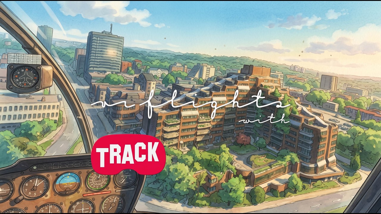
Out of CFB Shearwater, the military heliport across the harbour — Bunker Lane, 12 Wing, the hangars, the water tower. Then over the Angus L. Macdonald Bridge into Halifax proper, with HMC Dockyard and the shipyard underneath.

I asked her for the map — attractions, museums, viewpoints, parks — and she filled it. The Citadel from above is worth the trip on its own: you only really read the star shape from the air. The Maritime Museum of the Atlantic has a roof like an upturned hull, which she spotted before I did. Landing at the QEII hospital helipad at the end.

What went wrong: she armed a destination on her own, without being asked, and I had to cancel it. That one turned into a rule in the code afterwards — she now needs an actual request before she’ll set a waypoint, not just a direction I happen to be looking in.

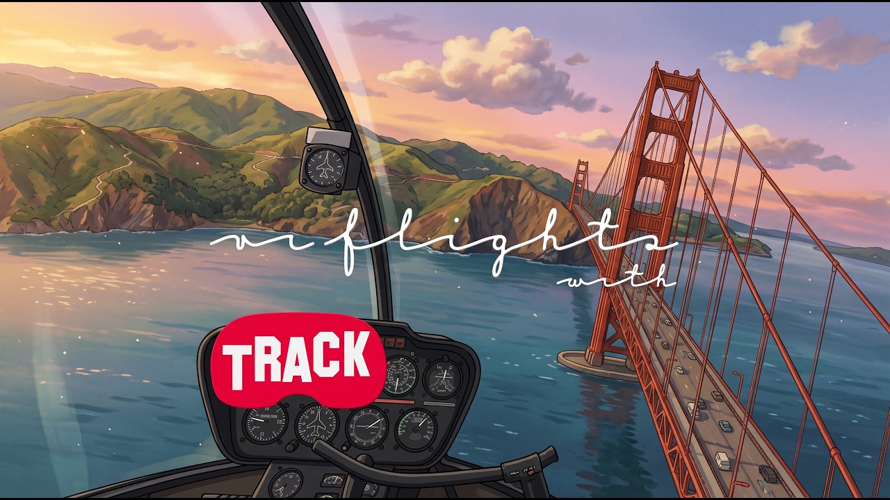
S1E14 — San Francisco (41 min)

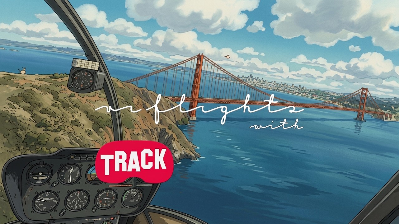
This is the one where it clicked. Fifty-two questions asked in flight, fifty-two answered, and not a single “I can’t identify that” — the first time that had ever happened.

The bit I still think about: I said the steep streets reminded me of action films, and she came back with Bullitt and Steve McQueen without me naming either. That’s not a lookup, that’s the thing actually holding a conversation. She also got the weather, the cycle lanes, and a long stretch of the Bay without losing the thread.

What went wrong: twice she answered a half-sentence I hadn’t finished — I said “é…” and she was already describing a place that wasn’t in front of me. Fixed afterwards, but you can hear it happen.

S1E1 — Shenandoah, Texas (19 min)

This is where the series starts. Off the helipad at Memorial Hermann The Woodlands, in Shenandoah, north of Houston, in the R66 — a hospital roof for a departure point, which turned out to set the tone for the whole flight.

North over The Woodlands. She named the Town Center as it came up: the glass office towers, the man-made lakes, the linear parks. That is the thing you only get from the air here — the towers stand straight up out of the pine forest and everything else is hidden under trees, so from the ground you would never guess there is a skyline in there at all. Then she picked up the highway underneath us as Interstate 45, the North Freeway, and we followed it to Conroe and the regional airport, finishing over the county law enforcement helipad.

What went wrong: almost everything she offered was a hospital helipad, and when I told her in the air to talk about something else — churches, clubs, architecture, statues — she was back to reading me distances to the nearest medical centre a few minutes later. I also asked her twice to watch the GPS ahead and volunteer things without being asked; she agreed both times and never did it once.

S1E2 — Green Bay, Wisconsin (47 min)

Out of Austin Straubel, the Green Bay airport, in the R66. A few minutes later I was back over the field without quite realising it — I asked her whether this was the same place we had taken off from, and it was. From there south over Ashwaubenon and along Fort Howard Avenue into De Pere.

Lambeau Field is the obvious stop and she had it as soon as it came up, but the part I had not expected was the round building beside it with a letter A on the roof. That is the Atrium, and the A only reads as an A from directly overhead — from the car park it is a wall. She named the Pro Shop inside it and Titletown next door without being asked twice. Then the St. Norbert College campus in De Pere, the Old St. Joseph Church on Grant Street, across the Claude Allouez Bridge over the Fox River, the De Pere High School football field, and east over Ledgeview and Bellevue — marinas, a golf course, the Aurora BayCare hospital — to land on grass at Nicolet Airport. Nicolet has no markings on the ground at all. Two mown strips, and you pick one.

What went wrong: I asked her for the ICAO of the field we had been circling and she read the letters out phonetically. I told her to give me only the numbers in the middle, so she came back with “78” and nothing else, which is no use to anyone. It took three goes before she settled on saying the whole code as one piece, WI78.

S1E17 — Boston, Massachusetts (37 min)

R66 over Boston with the photogrammetry on. Downtown first: Boston Common, the oldest park in the country, then Beacon Hill and the Hatch Shell on the Charles. Cancelling a destination worked this time — it didn’t in Halifax.

Then I gave her Boston Dynamics as a destination, sixteen kilometres out in Waltham, and we took the long way. Zakim Bridge, TD Garden, a Verizon sign on a rooftop at 60 State Street, the Custom House Tower and its clock. Across the river, the yellow MIT Media Lab building, Harvard, Fresh Pond, and out to the Boston Dynamics place — including the garden where they train Spot.

Near there, a curved glass building with a half-moon roof. The name is painted on top of it in big letters, CITYPOINT, and you only read that from above. Landing at the WCVB heliport, coming in off the wind arrow on the tablet — which is the reason I put it there.

What went wrong: I asked about that curved building and she told me it was Bentley University, a place she had described three minutes and two kilometres earlier — she answered the building behind us, not the one in front. I only knew for sure when I read CITYPOINT on the roof. Also, the first batch of map pins took 38 seconds to arrive, and the map marked helipads that aren’t in the scenery.


About Track: the voice in this flight is Track73, the voice companion I’m building for MSFS 2024 — press a button on the stick, ask about anything out the window, and she answers out loud about the place you’re looking at, in VR or on a monitor. Not released yet. What it does, and the waitlist for the release: https://track73.com.br

S1E3 — Rome, Italy (56 min)

Out of Rome Urbe, LIRU, the small field on the Tiber at the north end of the city, in the R66. I spent the first quarter of an hour hanging around the hills next to the airport asking about houses. One of them, a big yellow villa with arches, red trim and a pool beside it, she answered with the street name and the house number. Then I remembered we still hadn’t actually gone to Rome.

Down the Tiber from there. She named the Foro Italico and the tennis stadium in it — about ten thousand seats, once I pushed for something specific about that court — the Flaminio stadium, Castel Sant’Angelo, St Peter’s Square with Bernini’s colonnade, the Colosseum, and further south EUR and the Palazzo della Civiltà.

St Peter’s is the one to see from up there. The colonnade is two curved arms closing around the square like a keyhole, with the obelisk in the middle. At street level it’s just a lot of columns.

What went wrong: a lot of the time I asked about the building in front of me and got the one she had described before, almost word for word, and when I asked her only for the time — “don’t tell me anything about the place” — she told me about the place. At the end I asked her to land us at the arts complex with the domed roof and she gave me a hospital helipad code, IT-0703, and I couldn’t cut her off mid-sentence.


About Track: the voice riding along is Track73, a voice companion I’m building for MSFS 2024. You press a button on the stick, ask about whatever is out the window, and she tells you out loud about the spot you’re looking at — in VR or on a flat screen. It isn’t out yet; what it does, and the waitlist for the release, are at https://track73.com.br

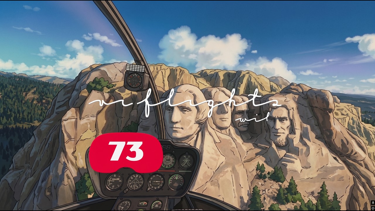
S1E4 — Keystone, South Dakota (18 min)

R66 over the Black Hills. The first thing under us was the Holy Terror Mine on the slope above Keystone — gold, 1894 — and she went into where the name came from before I had asked for it. Then Old Hill City Road below, and the granite opens out into the four heads: Washington, Jefferson, Roosevelt, Lincoln. She had Borglum and the carving years, 1927 to 1941.

What the air gives you here is how close together it all sits. The mine, the town and the monument are within a couple of miles of each other, but on the ground the ridges hide each one from the next, so it reads as three separate trips. From a few hundred feet you get the lot in one turn, with the pine running right up to the rock.

What went wrong: she would not let go of the mine. Three or four times I asked about something else and got the Holy Terror story again, near enough the same words. And when I asked what day it was, she answered with the simulator’s date — 21 March 2026 — instead of the real one. Both turned into fixes afterwards: no retelling the same thing twice, and clock questions read the PC clock rather than the sim.


About Track: the voice you hear is Track73, the voice companion I am putting together for MSFS 2024. It lives on a button on the stick — hold it, ask about whatever is out the window, and she answers out loud about the place you are actually looking at, in VR or on a flat screen. Not released yet. What it does, and the waitlist for the release: https://track73.com.br

S1E5 — San Francisco (54 min)

Second San Francisco in this thread, but a much earlier flight than S1E14. Off the police range by Lake Merced, out to Ocean Beach and north up the Great Highway, then inland over the Outer Richmond.

Golden Gate Park is where it got good. The Holy Virgin Cathedral first, gold domes sitting in the Richmond grid, then the Music Concourse — the de Young, the SkyStar wheel, and the Academy of Sciences with its living roof, which is seven planted green hills on top of a museum and reads instantly from 800 feet while being invisible from the pavement. After that Sutro Tower, which I had always assumed was a monument and is a 1973 TV mast, then the Castro, Salesforce Tower, the City Hall dome, St. Mary of the Assumption, Lone Mountain, the Columbarium — a round building buried in a block of square ones — and St. Ignatius. Over the Presidio she gave me the etymology: a colonial garrison from 1776, a fort, not a prison, which I had backwards. Out over the bridge at the end, with the reason the paint is International Orange — Irving Morrow picked it; the Navy wanted grey stripes — and down in the Marin Headlands.

What went wrong: the API behind her timed out in a cluster near the end, about forty seconds a go, and she answered four questions running with the same canned apology, which from the cockpit is indistinguishable from the whole thing having died. On the approach I asked about the bridge behind us and she kept handing me a gun battery in the Headlands instead, and she had no clock at all that flight — asked the sim time, she said it wasn’t in her feed.


About Track: the copilot talking in this one is Track73, the voice companion I’m building for MSFS 2024. Hold a button on the stick, ask about whatever is out the window, and the answer comes back out loud about the place you’re actually looking at, headset or flat screen. Not released yet — what it does and the waitlist for launch are at https://track73.com.br

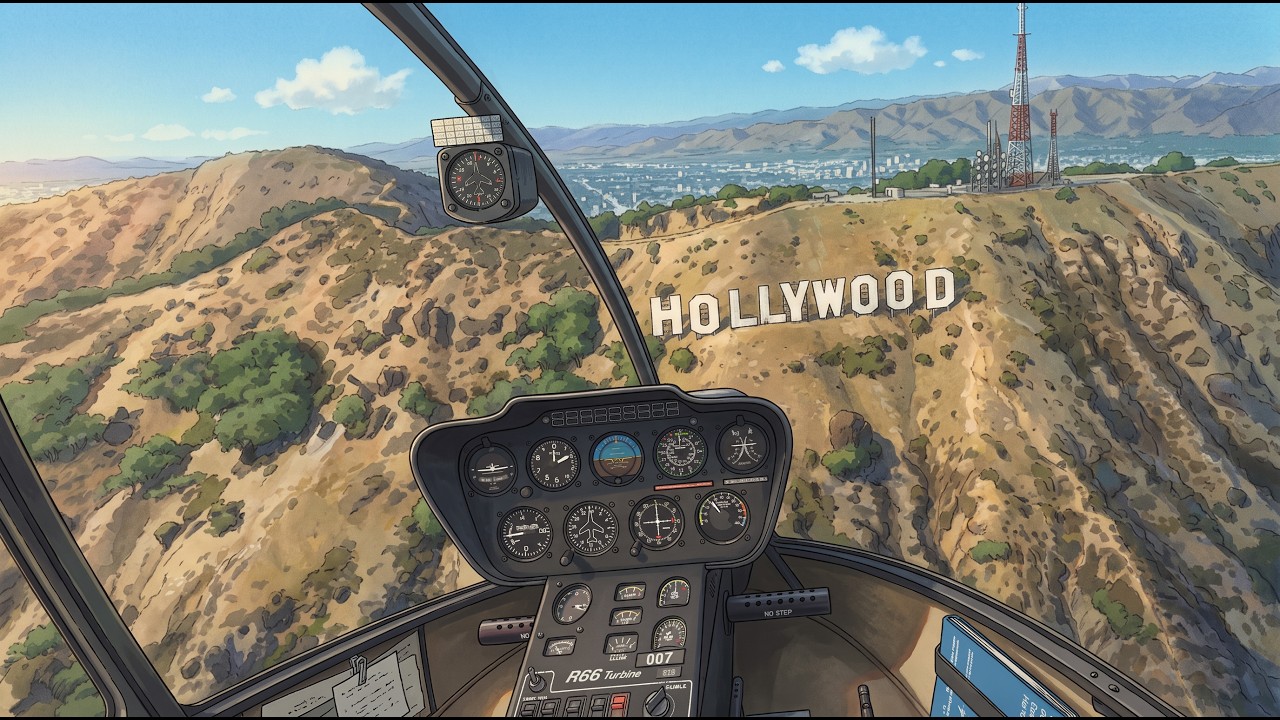
S1E6 — Los Angeles (13 min)

A night flight, and a short one. Downtown first, in the R66, with the grid lit up underneath: Los Angeles Center Studios, which she had as the old Unocal headquarters from 1958, then the Jewelry District and the Banco Popular building on Spring Street, 1926, and the county Superior Court, neoclassical, from the same year.

West after that, over MacArthur Park and Westlake. I asked about a church off to my left and got the First Congregational Church of Los Angeles — gothic, 1932, a 48-metre tower — answered as the building it is rather than as the thing on my left, which was what I was testing that night. Charles W. White Elementary came up over Windsor Square, with who White was. Then the fuel went critical and I put it down on the Wilshire Country Club in autorotation. Badly, but it stuck. That course is the only open ground for blocks: from the street it is a hedge, from a few hundred feet it is the obvious place to aim for.

What went wrong: I asked about a building ahead of me and she described the ones directly below instead. Worse, at the end “stop the log” never registered as a command, so it went through to the model, which told me the log was closed — it wasn’t, and the session stayed open on disk. She is no longer allowed to say she did something the code never did. The sim also froze for 25 seconds mid-flight and the frame rate was poor throughout, which was my own doing for leaving it running in the background all day.


About Track: the voice on the intercom is Track73, the voice companion I am building for MSFS 2024 — a button on the stick, a question about anything out the window, and she answers out loud about the place you are looking at, headset or monitor. Not out yet. What it does, and the waitlist for the launch: https://track73.com.br

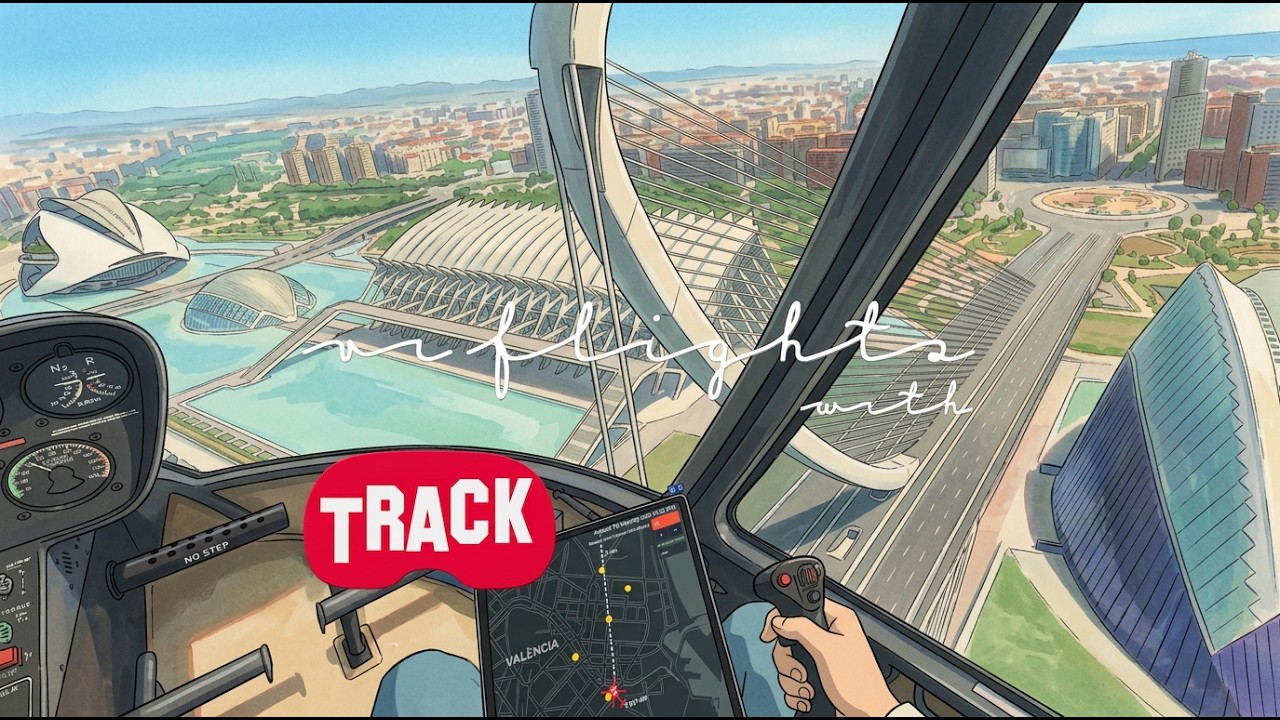
S1E7 — Valencia, Spain (41 min)

Off a grass strip outside the city in the R66, north over the Horta and the Parque Tecnológico, then Manises and the Molí del Vado. Mestalla came up first, Valencia CF’s ground, still in use — and then a kilometre north the Nou Mestalla, the replacement they started building in 2007 and left standing unfinished: a concrete bowl, no roof, no seats, the right shape and empty. From the street it is a hoarding you drive past. From eight hundred feet you get both of them in one glance, the old one full and the new one a shell.

After that, down the Turia. The river was routed around the city after the 1957 flood and the old bed left where it was, so what runs through Valencia now is a park several kilometres long where the water used to be, with the bridges still crossing it over grass. Pont de la Trinitat, Pont de les Flors, Calatrava’s Pont de l’Exposició, the Castell de la Trinitat beside it. The riverbed ends at the Ciutat de les Arts i les Ciències, which is built down inside it — the Palau de les Arts, the Museu de les Ciències, the Oceanogràfic, the sundial, Parc Gulliver. That is the thing you cannot read from the ground: the whole complex sits below the level of the streets around it, in a channel a river left behind.

I also asked her to put every helipad within twelve kilometres onto the tablet map, and she came back and said there weren’t any. That was the correct answer — there are none in the map data out there — and her saying so is better than the alternative. Earlier on she did fill the map on request, including twenty-six fuel stations in one pass.

What went wrong: she kept marking places I could not see. Pins directly under the helicopter, or behind me, so I would have to turn around to look at something she had just set. That is the second flight I have asked her to only mark what is inside my field of view. The tourist guide switched itself on a couple of times without being asked, and once it was on, it and the general commentary talked over each other. And every answer in this flight arrived about two seconds later than in the last one — I had moved her answers to a faster model and left the part that decides whether I gave a command on the slow one, so the extra wait landed entirely on my side of the conversation.


About Track: the voice in this flight is Track73, the voice companion I am building for MSFS 2024. It sits on one button on the stick — hold it, ask about anything out the window, and she answers out loud about the place you are looking at, in VR or on a flat screen. Not released yet; what it does and the launch waitlist are at https://track73.com.br

S1E8 — Seville (25 min)

Out of El Copero, the strip south of the city, in the R66, with photogrammetry on the ground. North along the Guadalquivir, Torre de Triana, and then across onto La Cartuja: the monastery, the golf course, the Estadio Olímpico, the Pabellón de la Navegación, the helipad. The bridges after that, then the Alamillo, and the old centre last — the Giralda, Plaza de América, the cathedral, the Metropol Parasol, San Luis de los Franceses, Santa Cruz, and a close pass back over the cathedral before Tablada.

La Cartuja is the part you only get from up there. It was the Expo '92 site and most of the fair never left the island, so what you fly over is one strip of leftovers between the river and the channel: a Carthusian monastery, a pavilion built for the navigation exhibit, an Olympic stadium, a golf course, a helipad, and Isla Mágica with an Ariane 5 standing upright in the middle of a theme park. At street level those are six unrelated addresses in six different directions. From six hundred feet it is one fairground somebody left running.

She was good on the centre. Six visual questions in a row came back right — a church, a theatre, a tower, a square — and she had the Giralda, the cathedral and Torre de Triana by name even though none of them were in the map data she had been handed for that spot.

What went wrong: there is no way to tell her to skip a point. The guide picked something I had already flown straight over and stayed on it; I asked three times for a “skip this one, go to the next” and in the end switched the guide off to get past it. The tourist mode talked about places without ever dropping the pin on the map, on and off through the whole flight, and the first time I asked her to mark something she ignored it outright and only did it on the second ask. Twice she answered about something far away while I was looking straight down, and once she did that without saying she had not got the picture, which is worse than not answering.


About Track: the voice in the cockpit is Track73, the voice companion I am building for MSFS 2024. It lives on one button on the stick: hold it, ask about anything outside, and she answers out loud about the place you are looking at, in the headset or on a monitor. Not released yet. What it does and the launch waitlist are at https://track73.com.br

S1E10 — Madrid (44 min)

Off the rooftop helipad at Hospital 12 de Octubre, down in Orcasur, then north along the Manzanares — Madrid Río, the Puente Monumental de Arganzuela, the Glorieta de las Pirámides. San Francisco el Grande, the CaixaForum, the Almudena. Then the Royal Palace and the Sabatini gardens, Plaza de España and the Torre de Madrid, the Arco de la Victoria at Moncloa, Ciudad Universitaria and the Facultad de Bellas Artes, and Casa de Campo at the end.

This one was almost all looking. Thirty-odd questions in a row about whatever happened to be out the window — that building on the right, that image, that advert down there — and she kept up with it. The destination work only started near the end, and that is the part that went badly.

The Arganzuela bridge is what pays for the altitude. From the riverside path it is a tunnel you walk through. From above you see what it actually is: two twisted metal cones laid end to end across the Manzanares, meeting on the island in the middle, with the walkway threading out of one and into the other.

What went wrong: destination mode. I asked for a destination nine times and got one — and that one put the marker on a radio station, because the search matched the word “Madrid” in its name. Six of the others quietly fell back to the nearest helipad, so the tablet drew a landing X where I was expecting the destination disc. Asking her to mark the nearest helipad on the map works fine; asking her to take me to the nearest museum does not, because the destination search only looks up names, and “nearest museum” is not a name. I said it out loud in the air before I read it in the log: destination is not landing.


About Track: the voice you hear is Track73, a voice companion for MSFS 2024 that I am still building. It lives on a button on the stick — hold it, ask about anything out the window, and she answers out loud about the place you are actually looking at, on a monitor or in VR. There is nothing to install yet. What it does and the waitlist for the release: https://track73.com.br

S1E11 — Springfield, Massachusetts (40 min)

Out of the Baystate Medical Center heliport in the R66, photogrammetry on. First thing I asked her in the air was where Homer Simpson’s house is, and she ran with it — a street about a hundred and fifty metres ahead, number 742 Evergreen Terrace. Invented, obviously, and I said so, and she kept the joke going. Later I tried setting it as an actual destination and she told me straight out she couldn’t find one, which is exactly what I want her to say when there’s nothing there.

Then the city itself: the Campanile at Union Station, First Church, the Quadrangle with its four museums around one green, Symphony Hall, the brick churches, St. Michael’s Cathedral, and the Basketball Hall of Fame on the bank of the Connecticut. The best stretch was downtown in the low golden light, where she was reading names straight off the buildings — MassMutual, the Hilton Garden Inn, and the whole board on Mercy Hospital down to “Gold and Karp Outpatient Services Center”. Out over the Memorial Bridge at the end, then back for a landing.

What went wrong: every heading she gave me was about 13 degrees off what I had on the compass — she says 210 for the museum, the instrument reads 223, because she’s giving me true and I’m flying magnetic. And over Van Horn Park she put an outdoor pool right underneath us; there isn’t one, and when I told her that she doubled down and moved it to the far side of the park instead of dropping it.


About Track: that voice is Track73, the voice companion I’m building for MSFS 2024. One button on the stick, ask about anything out the window, and she answers out loud about the place you’re looking at — in VR or flat on a monitor. It isn’t released yet. What it does, and the waitlist for the release: https://track73.com.br

S1E18 — Lowell, Massachusetts (36 min)

Sunrise over Lowell in the R66, photogrammetry on, mostly following the Merrimack. I asked her for pools on the map first and they came back in blue, then the Boott Cotton Mills in the National Historical Park, the American Textile History Museum and its clock tower, LeLacheur Park — the UMass Lowell ballpark, about four thousand seats — the Tsongas Center, Rogers Hall Park and its pond, St Michael’s and St John’s, Pollard School, and the Pawtucketville water tower, which she called out on the horizon before I had it.

Two things you only get from up there. On the hillside at the town line someone has laid out WELCOME TO DRACUT in big letters, and coming back the other way the same slope reads Welcome to Lowell. And in one of the campus courtyards there is a hopscotch grid painted on the ground — invisible from the street, obvious from a few hundred feet.

Then Lawrence as the destination, down the river: St Patrick’s, Lawrence High School, the Superior Court tower and clock, City Hall, and the Lawrence General helipad to land on. She got one word wrong somewhere in there — heard ração where it was serração, a sawmill — and when I pushed back she corrected it and named the rest of the frame exactly. Another time she just said she had not understood me, which I will take over a confident wrong answer.

What went wrong: my flight plan never showed up. The app was reading yesterday’s file and drawing that route instead — Oshkosh, Wisconsin, 1,400 km away, which from the cockpit is indistinguishable from no line at all. And the landing X cleared itself off the map about forty seconds before I found the pad, at the worst possible moment: the heliport is in the map data but the roof is not modelled in the photogrammetry, so I was hunting for it by eye with nothing marked. Buttons on the collective were firing map zoom too — the bind was matching on a device name that every joystick on the machine shares.


About Track: the voice answering in this one is Track73, a voice companion I am building for MSFS 2024. It hangs off one button on the stick — hold it, ask about anything out the window, and she tells you out loud about the place you are looking at, in a headset or on a monitor. Nothing to install yet; what it does, and the waitlist for the release, are at https://track73.com.br

Hi — thanks for sticking with it, and for writing this out.

Track is an AI in the right seat. A thinking brain that flies with you. You press a button on the stick and ask about whatever is out the window. She sees what you’re looking at, looks the real place up, and answers out loud while you keep flying. The source is the real world, wherever you’re looking, not a fixed list of points of interest from the sim. A church, a beach, a rock, a neighbourhood, the story of the place. She isn’t ATC, and she never touches the controls. You fly. She knows what’s down there.

On personality: yes, and mostly as tone. Looser, and she digresses, jokes, and gets worked up about a bridge or a roof. Drier, and she stays on the point. Pretty and ugly belong there too. She can have taste. History versus what’s happening now is the same kind of ask: more of the old story, or more of what’s going on lately. I’m leaning toward you telling her that in the air, the way you’d tell a person, and her asking at the end of the flight whether to keep it.

How sure she is stays put. A weak match comes out as “I’m not sure.” If I let that slide toward confident, she starts naming things she didn’t really find. I’d rather she sound unsure than bluff a name under the skids.

Weather and the season are a good use of mood. A grey morning should not sound like a bright July hop. A mood that tracks the time of the month I’ll leave on the shelf. Fun thought. A bit much for the right seat.

None of those dials are in the cockpit yet. What is: she rides along, she looks at the real world, and she says when she doesn’t know.

The page is track73.com.br. If you want in on the first builds, the waitlist is right there — name and email. You’ll hear when there’s a version that runs in your sim, and the new flights in between.

Really glad the project landed with you.

S1E19 — Worcester, Massachusetts (38 min)

Out of Shrewsbury in the R66, photogrammetry on, and the first flight in the series with the external ChasePlane cameras running — which is why this one looks different from the rest.

Lake Quinsigamond first: six kilometres long, cut by a glacier, with the Worcester Boat Club on the shore, founded in 1857. Then the Shrewsbury Historical Society, which I never actually saw — the canopy over that street closes the whole thing in, and she said so instead of inventing a roof for me. North over West Boylston to the Wachusett Reservoir, the water that supplies Boston, and the I-190 bridge that crosses it. Back down over Worcester Regional Airport, Great Brook Valley, Burncoat High, Greendale, the Worcester Country Club, the EcoTarium, Worcester Academy, and the First Unitarian Church — grey stone, 1891 — beside the Worcester Common Oval. Landed on the Worcester Medical Center heliport.

Two things you only get from up there. A mural covering the whole blank side wall of an abandoned building: a river, mountains, blue sky, painted like a window cut into the brick. And an old textile mill with the Triumph & Company sign still up and nothing left inside it.

She also caught herself. I pointed at a lake and she said Lake Quinsigamond; I told her it wasn’t the same one, and she came back with the difference — Indian Lake is the small round one, Quinsigamond the long six-kilometre one we had crossed earlier. Right both times.

What went wrong: I asked her whether the flight log was recording and she said yes, it was recording normally. It wasn’t. It started seventy-four seconds later and I lost the first three minutes of the hop. The question never reached the part of the app that knows the answer — it went straight to the model, which has no access to the log at all. A question about the app’s own state, answered out of the model’s head, is the worst kind of wrong, and that one is mine to fix. Then at the end, “clear the map as well” cleared the destination instead of the map: the sentence matched the wrong shortcut on the way in.

About Track: the voice in the right seat is Track73, the voice companion I am building for MSFS 2024. It hangs off one button on the stick — hold it, ask about anything out the window, and she tells you out loud about the place you are looking at, in a headset or on a monitor. There is nothing to install yet. An experimental build may be ready around Christmas this year — possibly; nothing promised. What it does, and the waitlist, are at https://track73.com.br

S1E20 — Plymouth, Massachusetts (39 min)

Out of Plymouth Municipal Airport in the R66, photogrammetry on. The ramp was full on the way out — three Cessnas and a Piper, red and white, and the long grey hangar beside them. First instruction for the map did not land; the second one did, and the pins came in. Then Pinehurst, mobile homes and gardens with one house up on the rise that looks like it runs the ones below it, and a street of small blue houses with white roofs.

Part of this flight was a reading test I set up on purpose, from further and further out: Market Basket in big red letters, HomeGoods next to it, Dollar Tree. Later the other plaza — TJ Maxx, Planet Fitness, Ollie’s Bargain Outlet. Billington Sea with its island in the middle, four turbines on the ridge in seventeen knots, the waterfront where they came ashore in 1620, Plimoth Plantation and its 1627 colony, the Eel River sitting right at the edge of the sea, and turtles and herons in the marsh, which she knew. Down the coast after that: rock most of the way, sand at Priscilla Beach, and Manomet Point at the end. Three house addresses in a row before landing — Arnold Avenue, then Stage Point Road twice.

Two things the air gives you here. The town water tower has PLYMOUTH painted across the side, legible from a few hundred feet and from nowhere on the ground. And the Jones River at low tide looks like cracked pavement from above — it is mud and tide, and it only reads that way looking straight down on it.

What went wrong: I asked her for a story with no helicopters in it and she got cut off mid-word — a fixed answer-length ceiling that is correct for everything else this thing does and wrong for that one request. Then “you cut the end, repeat” repeated the truncated version, cut included, because repeat gives you back the last answer and the last answer was already broken. Asking “and that’s how it ends?” got her to finish it. Later I asked her to look at the view and got “sorry, I didn’t understand” — and she pinned the word Sorry on the map at our coordinates, as if a refusal were the name of a place. She also called a white building the county courthouse; it is the Plymouth & Brockton bus terminal, which she got right when I told her to look again.


About Track: the voice in the other seat is Track73, the voice companion I am building for MSFS 2024. One button on the stick, held down, and you can ask about whatever is out the window — she answers out loud about the place you are looking at, in a headset or flat on a monitor. Nothing to install yet. What it does, and the waitlist for the release, are at https://track73.com.br