Trip Journal: Crossing India in a Cessna 172

Note: I took my first real-life flying lesson yesterday, and piloted (with an instructor) a Cessna Cardinal halfway across the State of Arizona, USA. That certainly changes my perspective on MSFS, including my perspective on how to actually fly these simulated planes. I am working toward a private pilot’s license. Anyway, back to India…

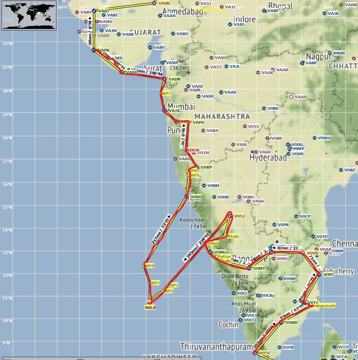
Leg #10: Mangalore to Lakshwadeep Islands. Distance 205 nm, flight time 1h54m. Conditions perfect VFR, low winds. Cruising altitude 12,000 feet.

The Lakshwadeeps are located about 200 nm off the Indian coast. They are officially a territory of the Republic of India, and are a luxury tourism destination for Indians. I chose to fly a Piper Arrow out here because it has a bit more power than the Cessna 172, and this is more of a side trip than part of a typical circuit of India. With the perfect weather I probably would have been fine in the Cessna though, although landing maybe 15 minutes or so later. This Piper Arrow does not have a GPS system installed that I know how to use, so I relied on several other tools: VOR navigation from Mangalore, the Foreflight subscription for real pilots I have purchased which acts very much like Little Nav Map but on my iPad, and ADF navigation set for Agatti, my final destination. I flew the entire route using virtual reality.

I do a lot of ocean flying so I was prepared for the long stretches of staring at a blue screen. In real life, this would be a terrifying ordeal that I would probably never undertake after I get a pilot’s license. If something goes wrong, well, buh-bye. But in the sim, I had some work to attend to and that helped with the stretches of blue with the VR headset sitting on my desk. About an hour in, the first Lakshwadeep island appeared in view, Kiltan Island:

Next were Kadmat and Amini Islands:

There was a bit of suspense as I approached the final island where my landing airport was supposed to be. I didn’t actually know if Microsoft had recreated the airport. The island is thickly forested and I could not see one until the very last minute. Thankfully, it showed up and I had a smooth landing.

To my amazement, the airport appears to be realistically run over with light vegetation:

Meanwhile, the Lakshwadeeps look stunningly gorgeous with incredible beaches. If I can ever figure out a way to actually go there, I’ll do it.

My next flight will probably be to Goa, back on the mainland.

2 Likes

Leg #11: Lakshwadeep Islands to Goa . Distance 292 nm, flight time 1h41m. Conditions night, some cloud cover, lightning and thunder. Cruising altitude 12,000 feet.

Decided to depart back to the Indian mainland just as the sun was setting in India. Beautiful scenery but would be very intimidating in real life. It got dark quickly. I was able to use my amateur astronomy skills to locate Polaris though, in the starry sky.

For navigation I again used VOR and the ForeFlight app, but I am still pretty confused about how the Piper’s VOR system works. Without ForeFlight’s GPS pinpointing, I would have had a lot of trouble finding the coast. The Piper does not have altitude hold in its autopilot so I had to use trim to maintain level flight, but this was not too much of a problem.

The Goa airport did not have a lit runway, so finding it was also very difficult at night. There were airport lights but no runway lights. I relied on lightning strikes to visually locate the runway. Despite the difficulty, when I finally did locate the runway, I had a smooth landing.

Goa is a former Portuguese colony, a popular destination for European tourists, and one of India’s smallest states. From here I will head north into the state of Maharastra, including Mumbai.

3 Likes

Leg #12: Goa to Kolhapur, Maharashtra . Distance 96 nm, flight time 1h11m. Conditions VFR, blue skies. Cruising altitude 7,000 feet.

After a short spin around the small but picturesque state of Goa, I headed northeast into the State of Maharashtra. I used a combination of VOR and GPS for today’s flight, setting course on the 33 degree radial from the VOR station near Goa. I’m becoming comfortable with VOR, both on older airplanes and on this Cessna’s modernized, glass-cockpit Garmin 1000.

I flew over a large lake in one of India’s many wildlife preserves, Radhanagari Wildlife Sanctuary, which is famous for its Indian bison (known locally as gaur). UNESCO has designated Radhanagari as a world heritage site.

Here’s a gaur, although I did not see one from the air:

Kolhapur is an ancient city and former kingdom with deep history, like much of India. Landing was smooth and uneventful. From here my next destination will be Pune, which is Maharashtra’s second largest city after Mumbai.

3 Likes

I like the introduction of real world photo’s to add to the story! Have been doing it on my thread as well, and will continue moving forward!

2 Likes

I think I got the idea from you!

2 Likes

Lucky Leg #13: Kolhapur to Pune, Maharashtra. Distance 123 nm, flight time 1h21m. Conditions VFR, blue skies, winds calm. Cruising altitude 7,000 feet.

After a brief hiatus in part due to real-life flight school, my journey through the State of Maharashtra continues. This segment features some beautiful park land and scenery as I passed over India’s Koyna Wildlife Sanctuary:

pune 2

Evidently, the Koyna Sanctuary is populated by Bengal tigers…

On approaching Pune I opted for ILS. This extended my flight time unnecessarily because of the loop I ended up taking, but I wanted the ILS practice. Although I have met many immigrants from Pune here in the United States, I’ve never been to their city. With the nearby mountains and wildlife sanctuaries, and a picturesque city, I have a new appreciation for their home.

I’m getting closer to Mumbai, after which I will be entering into the State of Gujurat.

Leg #14: Pune to Aamby Valley, Maharashtra . Distance 25 nm, flight time 23 min. Conditions VFR, blue skies, winds calm. Cruising altitude 9,000 feet.

Aamby Valley is a luxury development 25 miles from Pune that kinda sounds like a lot of real estate deals gone south here in the US. I saw it had a runway so I googled it out of curiosity, discovering a bunch of news stories along the lines of this one. Per that 2017 story, it’s a ghost town with empty houses, employees all driven away, and no services, all thanks to its CEO being arrested on fraud charges.

In keeping with the spirit, I decided to be a little more adventurous for this short jaunt and got myself an old, crotchety, rusted out Cessna 152. This add-on (which is free, search for “Rust Bucket” on flightsim.to) is brilliant in both its exterior and interior details. Here’s the cockpit:

And here’s the exterior:

The added benefit of a C-152 is that it has no fancy GPS navigation, so I truly went old-school for navigating myself to the Aamby Valley Airport. I tuned the Pune VOR in to follow the 274 degree radial, and relied on VFR methods to find my way. There are a couple of huge lakes en route, so this was not terribly difficult. I found the runway visually and did an easy approach from the south.

I do see the ghost town remnants of a half-alive suburb. I also spotted a large structure that I now know is an ancient fort built in approximately 1500 or earlier. I didn’t photograph it from the sim but here’s the real-life rock structure it sits on, which is impressively recreated in MSFS:

Aamby Valley itself is surrounded by lakes and woodlands and looks quite beautiful. If it ever recovers from the financial scandal it looks like an amazing place to spend retirement.

On to Mumbai in my next leg.

1 Like

Leg #15: Aamby Valley to Mumbai . Distance 56 nm, flight time 33 min. Conditions VFR, blue skies, winds calm. Cruising altitude 5,000 feet.

A nice and easy flight this morning local time from the peaceful financial ruins of Aamby Valley to India’s megapolis, Mumbai. Northwestern Maharashtra is picturesque, hilly, and green.

As I got closer I contacted ATC to gain clearance for landing at Mumbai’s Juhu Airport, which I believe is the primary transit point for domestic air traffic. The views of the Indian Ocean were relaxing as I approached the city.

Landing was a technical disaster though no incidents. I came in way too high and fast. Rather than going around as I would have in real life, I lazily shoved the yoke down and put the plane on the runway anyway. Juhu has a long runway so I had plenty of room to spare.

Reaching Mumbai is a nice milestone on my India trip. From its southern tip I have now flown through India’s tech power center of Bengaluru, in South India, veered off to hit the Lakshwadeep Islands, and now reached India’s cultural and economic powerhouse of Mumbai, the home of Bollywood. This will be my last stop in the State of Maharashtra, before continuing north into Gujurat.

1 Like

You could always forward slip if too high on landing!

1 Like

Leg #16: Mumbai to Daman . Distance 83 nm, flight time 59 min. Conditions gusty, scattered clouds. Cruising altitude 9,000 feet.

This morning was a coastal trip, taking me from Mumbai’s Juhu Airport, up the Maharashtra coast, right over the state border into the city of Daman, which I wrongly thought was in the State of Gujurat. Daman, which is a Portuguese name, actually has a fascinating and bizarre history. The Portuguese were among the most viciously racist colonizers of India, during European occupation. Although the British agreed to leave in 1947, in part thanks to a massive Indian troop contribution to defeat the Nazis (my grandpa was a tank commander in that effort), Portugal refused to leave.

In 1961, the Indian military literally waged an attack on Portuguese troops in Daman and surrounding territories. Portugal refused to relent. India’s Army, Navy, and Air Force collaborated to bomb nearby islands housing Portuguese military installations and take over the territory. 600 Portuguese citizens and troops were captured, and several killed. Only then did Portugal surrender. Back in Lisbon, the Portuguese government continued to refuse to recognize the Indian takeover until 1974.

I mean, really Portugal? You’re like an ex who wouldn’t take the hint.

Leg #17: Daman to Diu . Distance 109 nm, flight time 58 min. Conditions scattered clouds at elevation 3,000 feet or so. Cruising altitude 5,000 feet.

From the former Portuguese colony of Daman, I decided to fly across a stretch of ocean–which I believe is the Arabian Sea–to Diu Island. Both Daman and Diu were battle scenes in 1961 when the Republic of India booted Portugal out using military force.

I decided to practice my old-school navigation techniques, and did not use GPS. Instead I set course per dead reckoning and tuned in to VOR and ADF stations to make my way. The ADF did not kick in until about 25 nm from Diu. As for the VOR, I used the Surat VOR that was located at about my 5 o’clock as I flew across the sea, to track my location:

Though flying neither to nor from Surat, I’ve figured out how to still use it to locate myself on a map. I knew that Diu was approximately 250 degrees from Surat. To track my progress I simply had to center the VOR dial and see how it slowly moved from 190 degrees, to 200 degrees, 210 degrees and so on. Pretty cool stuff.

The real-life Diu has an ancient fort on it that was built by Portuguese invaders in 1541:

I don’t think this shows up in MSFS but I wasn’t looking for it while landing. It was still being used in 1961 when India seized it, and is preserved to this day. A part of it is actually used as a jail for the Diu criminal justice system. I am not aware of too many structures as old as 500 years in India that were built by European colonizers. Fascinating stuff. Now I want to visit.

There’s another reason I wanted to fly toward Diu: just up the coast is an airport located in the Gujarat city of Porbandar. Porbandar is the birth city of Mahatma Gandhi.

Leg #18: Diu to Porbandar, Gujarat . Distance 90 nm, flight time 1h. Conditions scattered clouds at elevation 3,000 feet or so. Cruising altitude 7,000 feet.

I left Diu at sunrise. I didn’t feel right about flying a $400,000 plane to Gandhi’s hometown, so I went old school again and flew the Rusty Bucket 152 without any GPS. That thing would probably sell for USD$2,000.

Flying visually and with ADF and VOR was easy since Porbandar is located on the coast. I mainly followed the coastline. The VOR was supposed to have a range of 125 nm but didn’t actually kick in until 40 nm from Porbandar. Not sure what that’s about, maybe an MSFS bug. ADF did work well though.

Porbandar appears to be a bustling, coastal city. There is a famous Gandhi memorial here but I assume MSFS has not recreated it.

I haven’t finalized my next leg’s plans yet but I will probably be in the State of Gujarat for the next couple of legs.

1 Like

Leg #19: Porbandar to Mundra, Gujarat . Distance 72 nm, flight time 38 min. Conditions scattered clouds at elevation 3,000 feet or so. Cruising altitude 5,000 feet.

Uneventful flying this morning, mostly over water as I crossed the Gulf of Kutch. Mundra is a small city of about 36,000 people, founded in 1640.

Will be flying through the rest of Gujarat for a while and then on to Rajasthan.

Leg #20: Mundra to Ahmedabad, Gujarat . Distance 159 nm, flight time 1h22m. Conditions clear skies, strong wind gusts. Cruising altitude 6,000 feet.

This stretch of India has very few airports, so a long flight was necessary to get on track for future legs. Ahmedabad is Gujarat’s capital and one of India’s major cities with a population of about 6 million.

I decided to use ILS for the approach and actually had a precarious incident, for the first time. As I was turning for the approach, I accidentally hit some key on the keyboard. I can’t figure out which one or what it did specifically. Whatever its effect, it caused the autopilot to go haywire. The plane banked so heavily instead of its normal turn ratio that it would have stalled. When I tried to level the plane again, it kept banking aggressively like it had a mind of its own. This happened at about 3,000 feet above the ground, and by the time I leveled out and got under control I was at 1,500 feet. The strong winds, which were at 20 knots at the time, compounded the situation.

All of this happened just a few seconds after I took this screenshot of approaching the nearby city of Gandhinagar:

Experiencing this in the sim after having taken a few real-life flight lessons felt a little different. It was kinda scary, to be candid, because I can imagine what this must feel like if it happens in real life. Anyway, I did manage to right the ship and land at Ahmedabad’s major international airport.

This might be my final leg in Gujurat. Next stop will be in Rajasthan.

Leg #21: Ahmedabad to Unjha, Gujarat . Distance 35 nm, flight time 26 min. Conditions clear skies. Cruising altitude 9,000 feet.

I wasn’t up for a longer flight so I took my rusty bucket Cessna 152 and flew it on a short leg using VOR navigation only. Unjha is a non-towered airport so finding it was a bit of a challenge without using technology aids. I flew the 336 degree radial from Ahmedabad, and upon approaching the small city of Unjhal was able to visually locate the small airport.

On landing at Unjhal, I goofed off for a few seconds and randomly followed a roadway connected to the airport. That led me to a random building created by MSFS, and I know it’s mainly just a coincidence, but it looked oddly realistic for India scenery:

Leg #22: Unjha, Gujarat to Mt. Abu, Rajasthan . Distance 100 nm, flight time 53 min. Conditions clear skies. Cruising altitude 9,000 feet.

Flying to the State of Rajasthan and also Mt. Abu has personal meaning to me. My ancestors/family are from Rajasthan. During summer vacations spent in India, I would often hear stories about how beautiful “Mount Abu” was. I never got to visit in person though.

I used standard GPS in the glass cockpit of the C-172 to get there. As I approached I was able to locate the air strip visually:

Before landing I took a few turns flying over the actual Mount Abu, which is sprinkled with small lakes, winding roads, and tiny villages. It must be gorgeous in real life.

This has been a very educational trip! Especially the history with Portugal, I had never heard any of that before.

1 Like

Did you say Journal?
I hope you are referring to a ‘personal’ written journal then.
Seriously, do not rely on your MSFS 2020 Logbook for your flight info.
The logbook has a habit of resetting itself. Which is a real pain when it happens!
Many folk have already lost 10’s if not 100’s of hours of info.

You have been warned!
Good luck with your journey across India. Sounds great.

@captainLIF Appreciate the warning but I am noting my trip details here in real time, so no, I am not relying on the MSFS logbook for anything (I might glance at it in case it has accurately recorded the distance and time of a particular leg, right after I’ve flown it).

Loving these entries and learning something along the way!

1 Like