Trip Journal: Crossing India in a Cessna 172

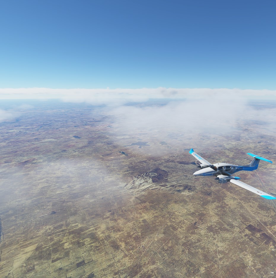
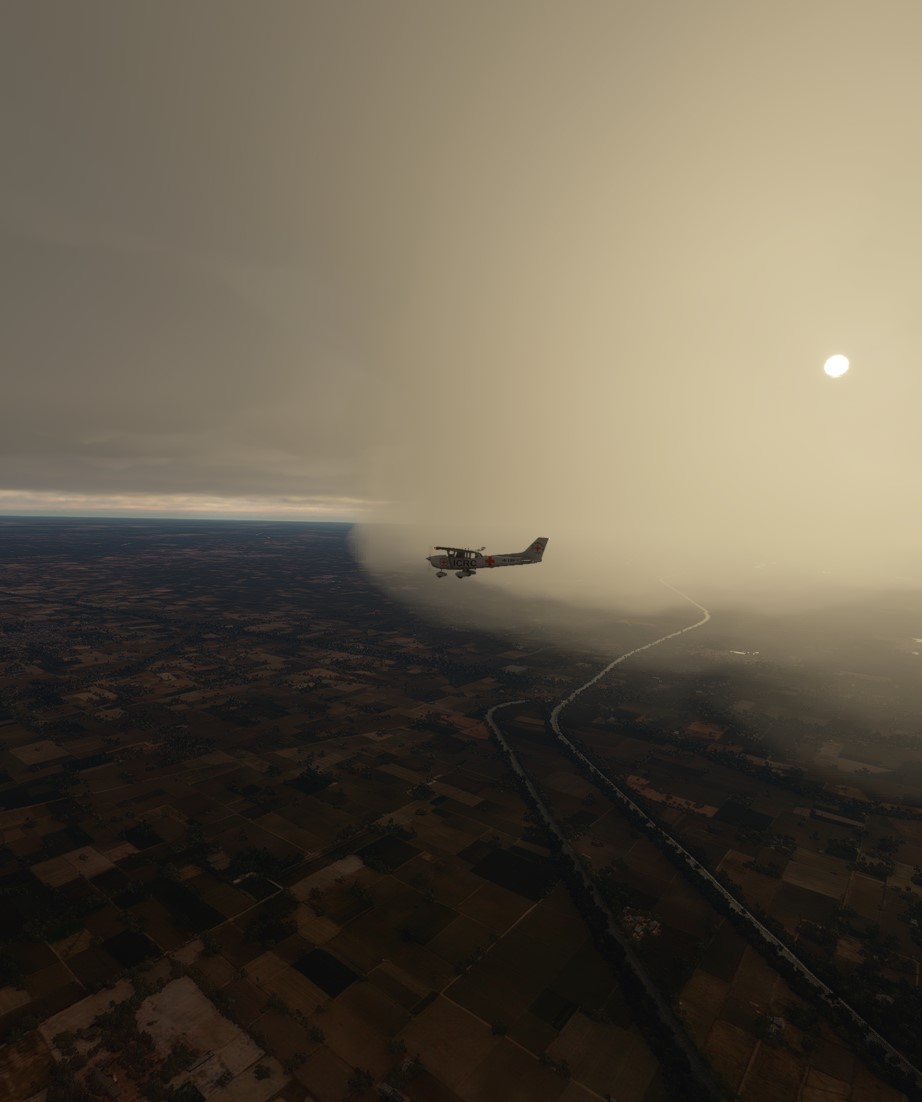
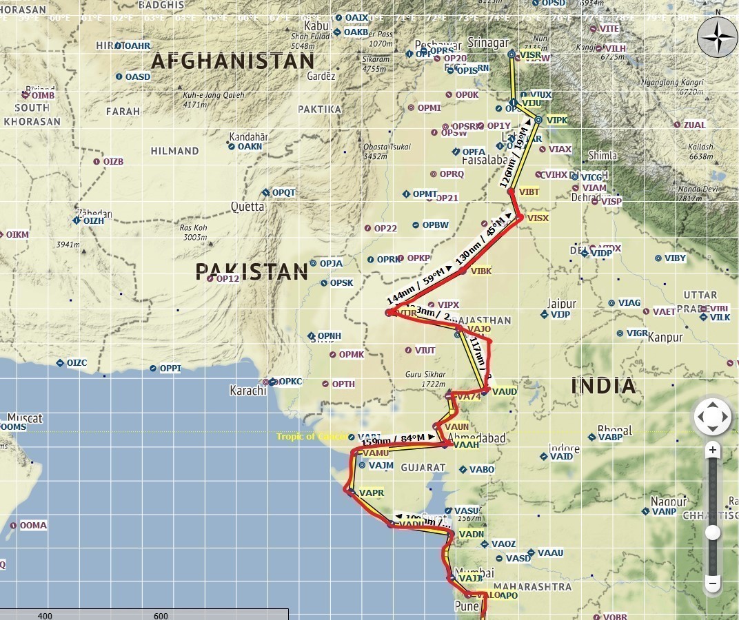
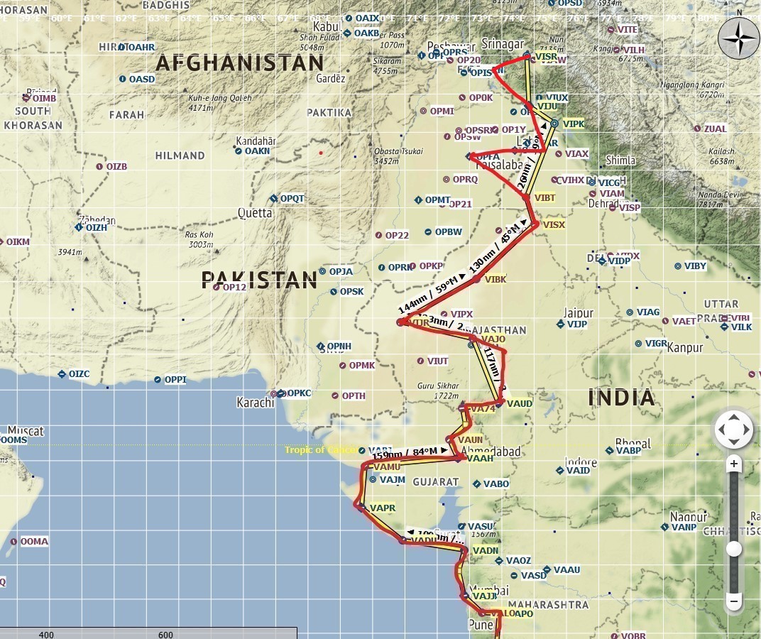
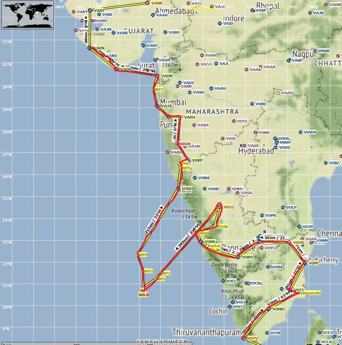
Leg #23: Mt. Abu to Udaipur, Rajasthan . Distance 61 nm, flight time 48 min. Conditions clear skies but windy. Cruising altitude 7,000 feet.

This is an interesting leg, or I should say, an interesting stretch of India. Udaipur is the home of India’s famous Lake Palace, built in 1746.

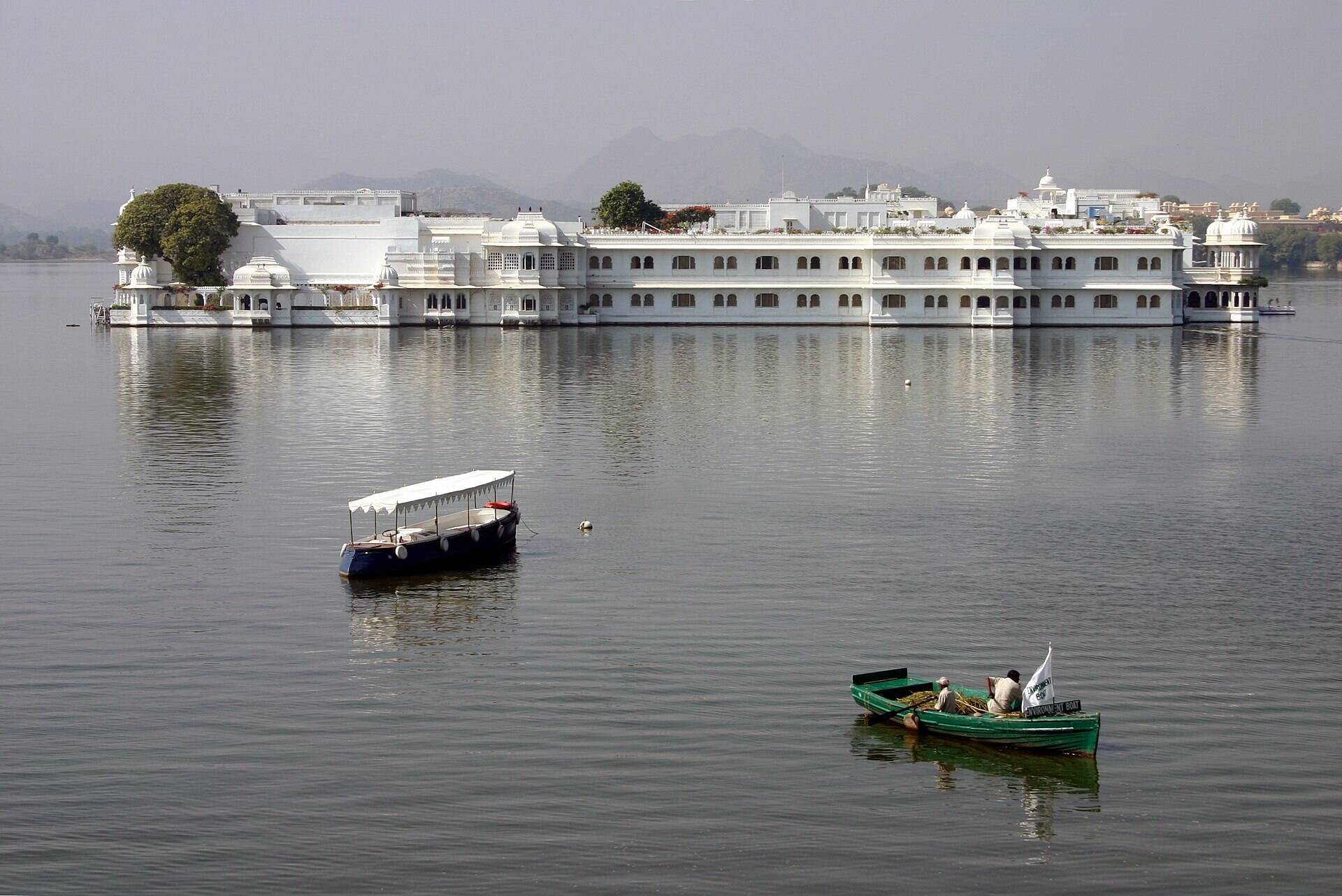
How famous? Well, famous enough that Nick Jonas and Priyanka Chopra had their wedding there, in addition to a smattering of other celebrities. It is today a five-star hotel and resort. As a kid I actually got to visit it to have some chai and samosas, though we did not stay there.

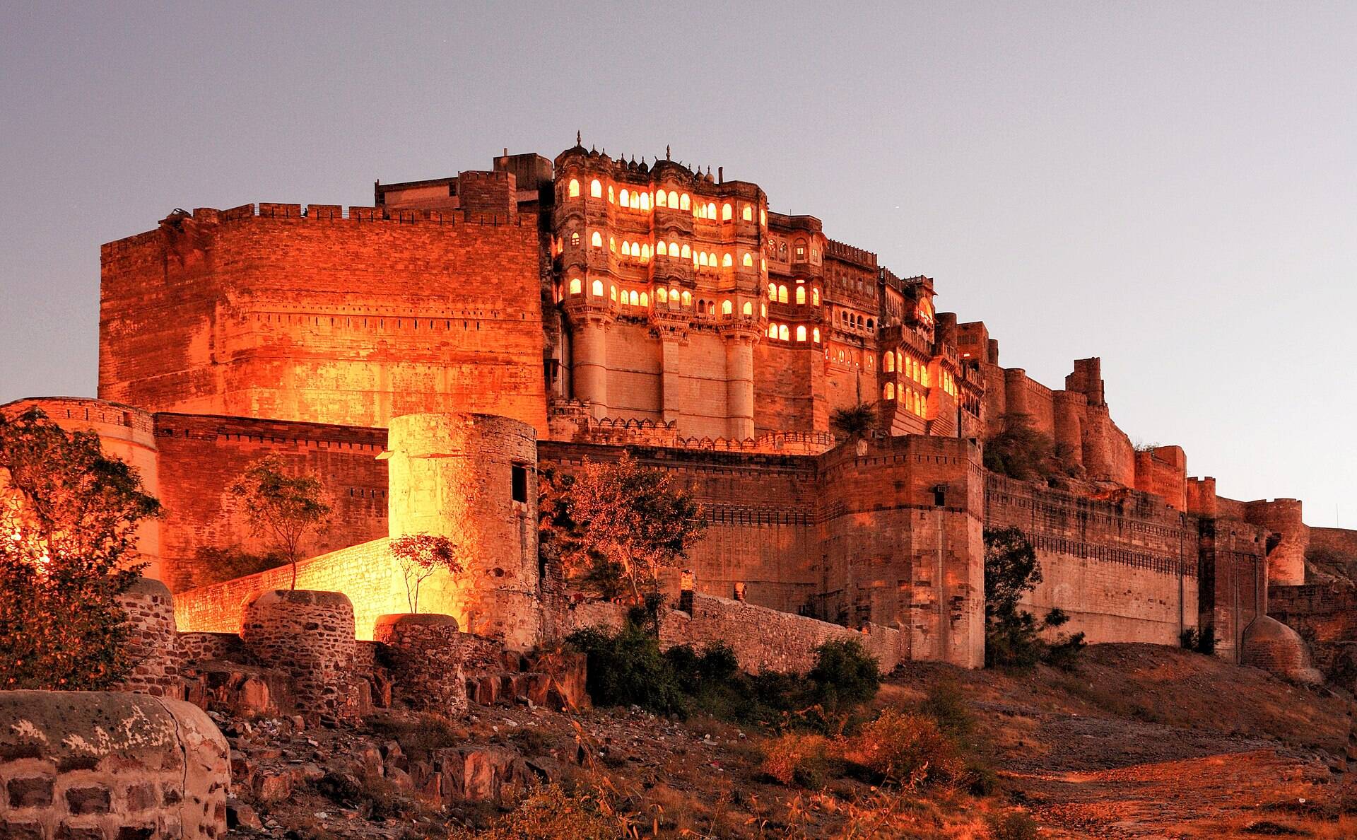
Also a word about the State of Rajasthan: If you’ve never been to India, you would probably want to plan a trip that heavily involves this state. During the British Raj, Rajasthan actually never accepted colonialism. Like the South Indian emperor I mentioned in Leg #6, Rajasthan’s kingdoms put up some ferocious fights against British occupation. As for those kingdoms, Rajasthan has many famous forts and royal palaces that have been well-preserved for tourists. Some of them are transformed into hotels that you can actually stay in, which makes for some breath-taking experiences. Udaipur is one of them, as Priyanka (who is not from Rajasthan) and Nick apparently concluded.

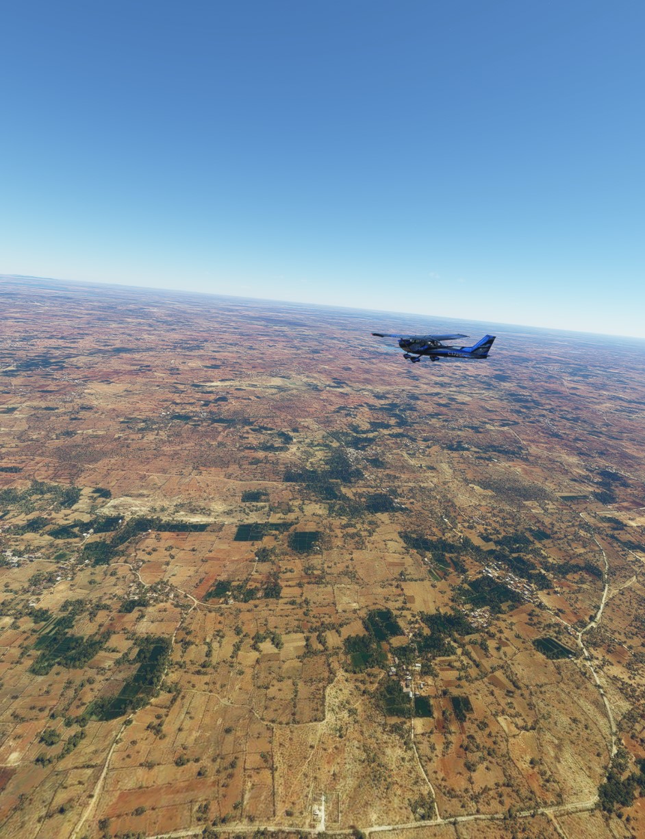
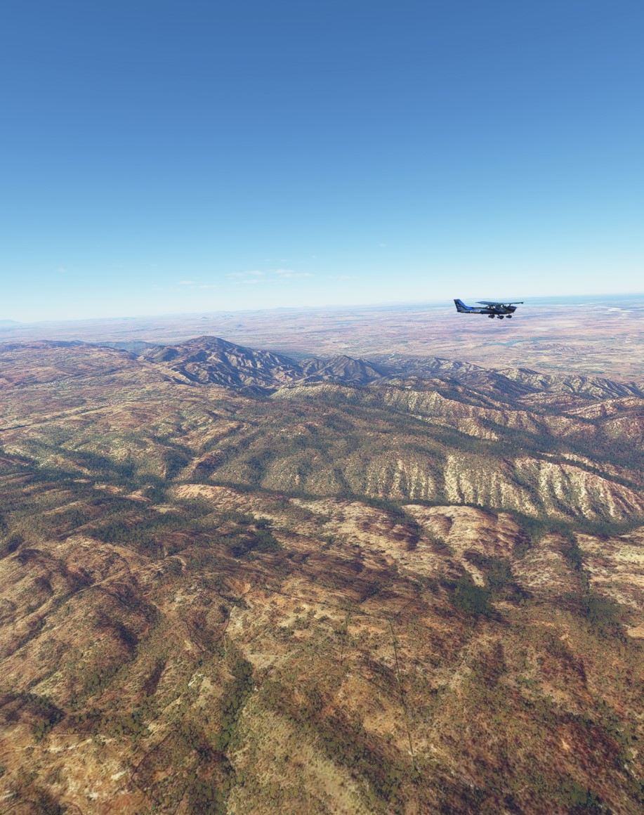
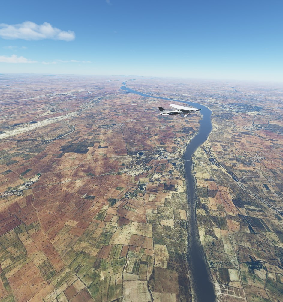
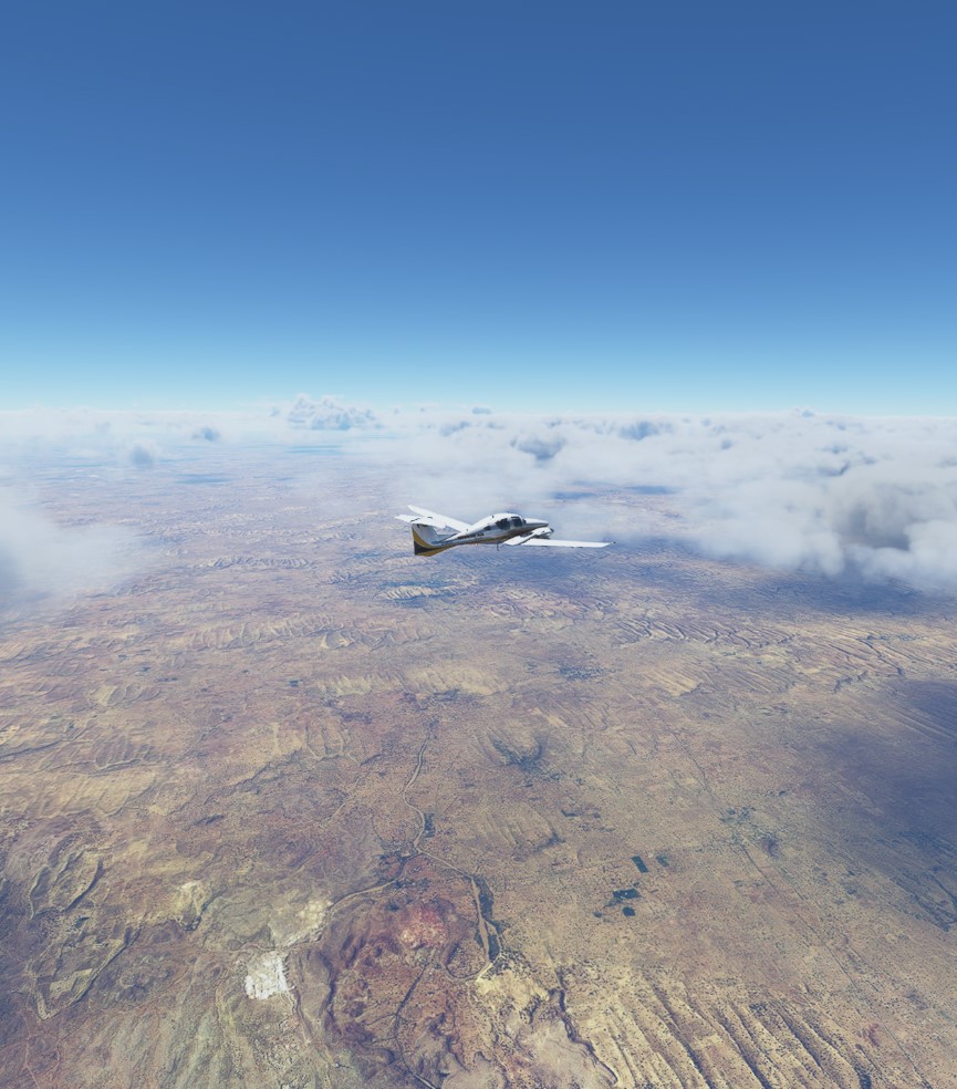
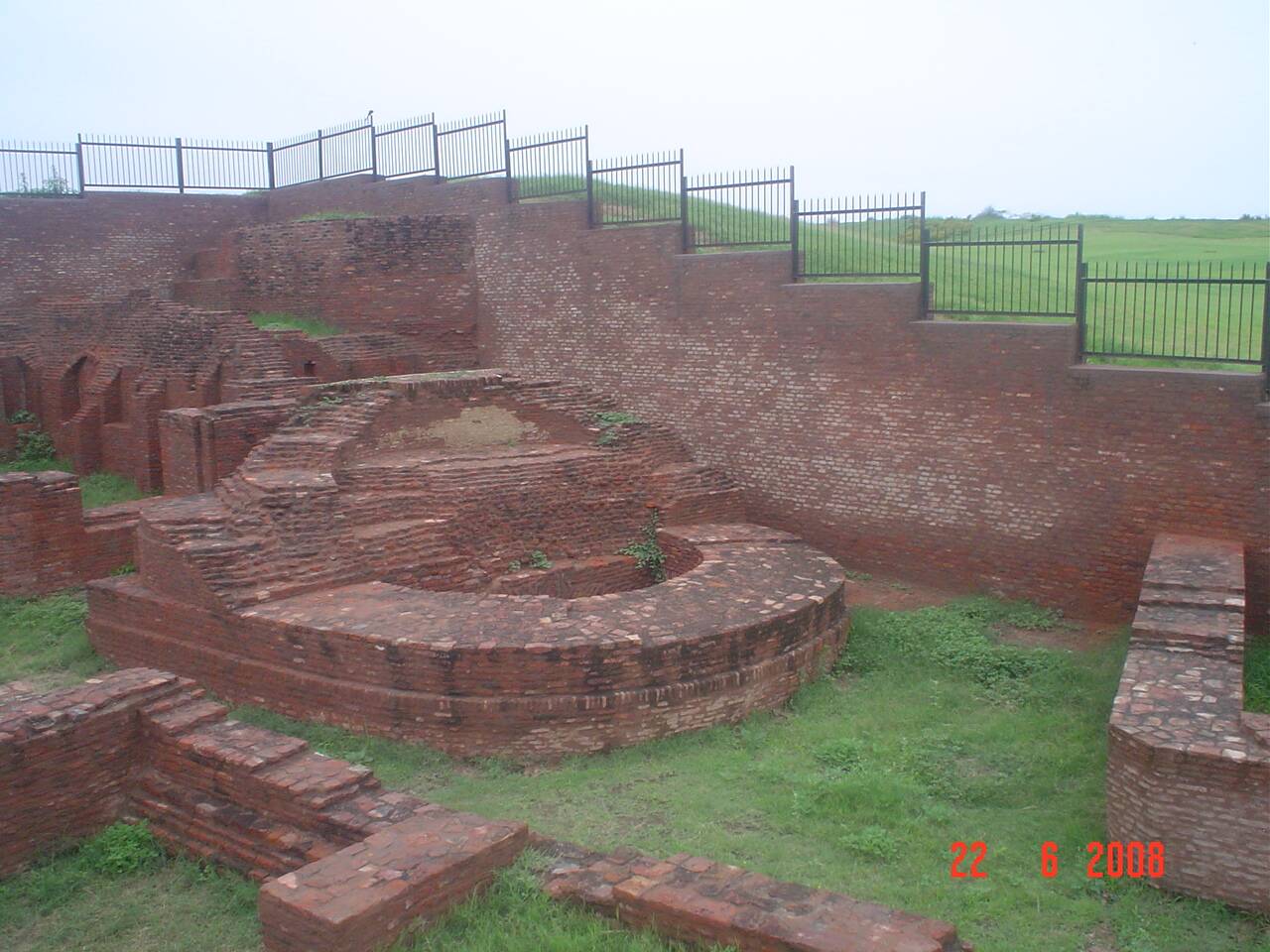
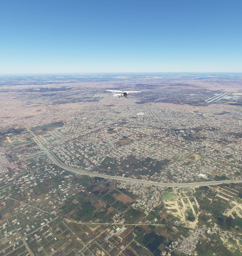
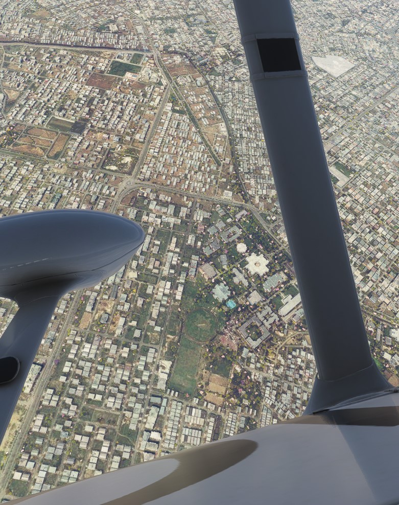
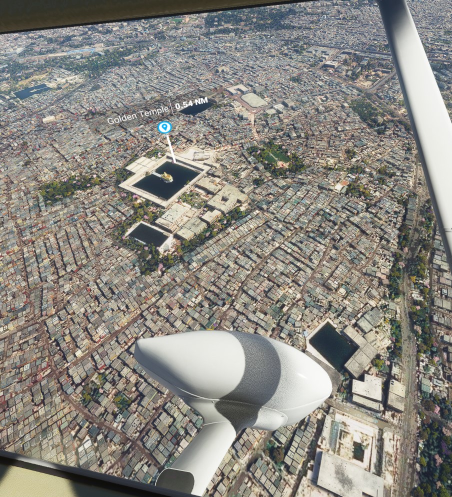
From the big bucks at stake in Udaipur, it won’t surprise you to learn that the airport is towered, has an ILS approach, etc. I used standard GPS to fly over a few small mountain ranges to navigate there from Mt. Abu. Unfortunately it’s also no surprise that MSFS hasn’t done much for the Lake Palace, circled in red here:

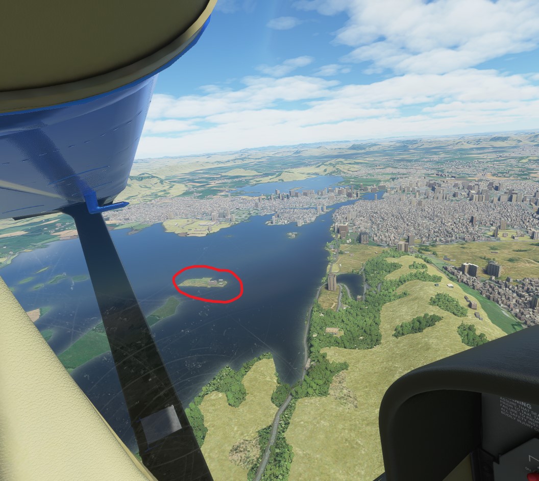
India, and really all of South Asia, desperately needs some proper attention from the MSFS world update folks. Anyway, I have a few more royal palaces to hit up as I fly through the rest of Rajasthan, and probably a bit of barren desert flying too.

1 Like

Leg #24: Udaipur to Sojat, Rajasthan . Distance 79 nm, flight time 60 min. Conditions clear skies. Cruising altitude 5,500 feet.

A little annoyed that the last few legs I flew were on lower-than-necessary graphics, because MSFS and Oculus (my VR headset) have been updating so much that I forgot to keep up with optimal settings. Anyway, the graphics are back for my trek into Rajasthan’s famous desert scenery.

As for the town of Sojat, population 50,000 or so, it’s main claim to fame is that it’s India’s henna capital (known in Hindi as mehndi). You know, this:

Leg #25: Sojat to Jodhpur, Rajasthan . Distance 23 nm, flight time 16 min. Conditions clear skies. Cruising altitude 6,000 feet.

Quick hop from Sojat to the second-largest city of Rajasthan, population 2 million, Jodhpur. Jodhpur is written about in the New York Times etc because of its many palaces, forts, temples and more. I’ve been there in person so you can imagine the tragedy of this not really being a feature visible in MSFS, despite being built in 1459:

Some day perhaps.

1 Like

Leg #26: Jodhpur to Jaiselmer, Rajasthan . Distance 123 nm, flight time 45 min. Conditions marginal VFR, some clouds, thunderstorms that were mostly avoidable. Cruising altitude 18,000 feet.

A Cessna 172 cannot climb to 18,000 feet. Because of the long stretches through the Thar Desert here, I decided to borrow a friend’s Diamond 62 for the next leg or so. Conditions were marginal VFR and in RL I probably would not have departed until after these desert thunderstorms had cleared. With the luxury of gaming, I enjoyed the nice scenery of cloudscapes and Rajasthani desert instead.

Jaiselmer was founded in the year 1156 AD. It features an ancient fort and many old temples, including many temples built for the Jain religion. Despite my many travels in Rajasthan, this is one top destination that I have not actually visited in RL. But I would love to some day:

Leg #27: Jaiselmer to Bikaner, Rajasthan . Distance 143 nm, flight time 51 min. Conditions marginal VFR, some clouds, thunderstorms that were mostly avoidable. Cruising altitude 12,500 feet.

Bikaner (listed in MSFS as Nal for the small nearby village) is possibly my last stop in the Thar Desert and Rajasthan. I’ve been there in real life. It may be most famous for the “rat temple” that is about 30 kms out of town, where hundreds of cared for rats are probably the luckiest rats on the planet Earth.

Getting there was uneventful. Not wanting to sit through a leg this long on a computer, I used a Diamond 62 again for its higher speed. I haven’t decided whether to keep it for one more leg as I cross over into the State of Haryana, or whether I’ll add one more Rajasthan stop for which the Cessna would be sufficient.

Leg #28: Bikaner, Rajasthan to Sirsa, Haryana . Distance 131 nm, flight time 69 min. Conditions VFR, some clouds. Cruising altitude 5,000 feet.

Despite the long stretch I returned back to the Cessna 172 for this leg. The State of Haryana represents the end of the Thar Desert. Haryana is the home to some of human history’s most ancient finds, dating back to 9,000 years ago. Pictured below are ruins from the 7th century A.D.

My landscapes of desert flying are now replaced by farmland.

1 Like

Leg #29: Sirsa, Haryana to Bhatinda, Punjab . Distance 45 nm, flight time 32 min. Conditions IFR, stormclouds, thunder, lightning, I had no business flying. Cruising altitude 6,500 feet.

A storm system is moving through northern India. Real-life pilot me would never take off in such conditions (my plan is to get instrument ratings but as a recreational flyer only travel in VFR). The weather radar definitely looked bad:

But I took off and was actually able to stay just under the cloud ceiling for most of it.

This leg took me through lots of flat farmlands, from Haryana to one of India’s agricultural powerhouse states and the source of many of its American immigrants, Punjab. I chose Bhatinda because I have actually traveled there. My family is not Punjabi but some relatives live there due to a government job. Bhatinda has an Indian Air Force base, and lots of military housing. It also has an ancient fort that dates back to the year 900 A.D., but it sadly has not been well-maintained or promoted as a tourist venue by local government, for whatever reason.

Heading to Amritsar, Punjab next.

Legs #30 and 31: Bhatinda to Firozepur, Punjab, Pakistan airspace, Amritsar, Punjab . Distance 100 nm, flight time 50 min. Conditions VFR, light winds, clouds visible in the distance but none encountered on the flight. Cruising altitude 5,000 feet.

This was an interesting leg because of international borders and a personal story. While I assume this would be a bad idea IRL due to Indo-Pak airspace regulations and terrible relations between India and Pakistan, I decided to venture into Pakistan airspace. I was juxtaposed right up against the international border anyway. Lahore, one of Pakistan’s major metropolises, is literally minutes away from the Indian border. So I flew over Lahore. The actual border before reaching Lahore is visible via the Sutlej River:

Lahore is only 15 minutes further.

On a personal level, I’ve actually been to this particular border crossing. From the India side, if you travel to the border town of Waga, there is an entire international boundary spectacle put on by the military border forces of India and Pakistan. There are parades, bleachers filled with crowds on either side, soldiers marching around, and even one rare moment of touching solidarity between nations when an Indian soldier gracefully folds up the Pakistan flag and a Pakistani soldier folds up the Indian flag. This picture taken from Waga gives you a good idea:

Political soap box for a second: As a person of Indian origin who is certainly proud of it, I mourn the fact that India and Pakistan are at a state of constant tension with each other. Both countries share a tremendous amount of cultural richness, amazing cuisine, musical tastes in common, sports preferences in common, and more. And a little known fact: two of the most musically gorgeous national anthems in the world are India’s and Pakistan’s–and only people who speak Hindi/Urdu can understand either one. We should be friends. And indeed, here in America, I am happy to report that I have many genuine friends who are Americans of Pakistani descent. It’s quite common for Americans of Indian and Pakistani descent to befriend each other, in fact.

Anyway, it was pretty cool being able to see an accurate depiction of the Waga border stations:

2 Likes

Leg #32: Amritsar, Punjab to Jammu, Jammu and Kashmir . Distance 59 nm, flight time 41 min. Conditions VFR, clouds visible in the distance but none encountered on the flight. Cruising altitude 5,000 feet.

Departed the State of Punjab today and entered what’s known in India as the “Union territory” of Jammu and Kashmir, whose winter capital is the city of Jammu. Before leaving Amritsar I had to fly over one of Microsoft’s rare points of interest in India, of course, which is the Golden Temple. I have also visited this holy spot in real life. It is the holiest site in the world for members of the Sikh religion. Visitors come here from around the world, of all faiths. I circled over it as I departed Amritsar.

To reach Jammu, I decided to enter Pakistan airspace again rather than follow the rules of realism to a tee, which would have extended the flight by a small distance. Jammu is lush and green.

1 Like

Legs #33 and 34: End of journey! Jammu to Srinagar, Jammu and Kashmir.

A Cessna 172 has absolutely no business flying from Jammu to Srinagar, or in the Himalayan mountain range in general. So these flights were more like video game experiences than they were “simulation” experiences. The C-172 ceiling is only 14,000 or so. Despite significant time by me trying to chart a path, I could not find a clear one on paper. So I ended up kind of winging it as I left Jammu’s elevation of 5,000 feet or so for the purpose of crossing a mountain range between it and Srinagar that was at about 15,000.

Leg #33 was Jammu to the small city of Rajaori, and both are easily accessible by a small plane like the 172. The terrain changes were interesting as I moved closer to the Himalayas:

The technically quasi-suicidal portion comes after Rajaori, where the minimum safe altitude is probably 17,000 or so with mountain tops reaching 15,000. To maximize my altitude capabilities I also reduced my fuel load to about 25%, which really cut it close and added to the suspense. I mean, this wouldn’t be an intimidating sight at all:

But miraculously, after some wandering around in deadly canyons and river gorges, I found one narrow sliver of a path. It involved barely skimming over bare rock by as little as about 500 feet…

But once I did, the deep valley in which Srinagar is located opened up and I was home free!

So here is my trip map in total:


In total I flew approximately 3,368 nautical miles, which includes flying from Sri Lanka to India’s southern coast, and one side trip to the Lakshwadeep Islands.

Cheers!

3 Likes

The flight plan for the entire trip is here, if anyone wants to use it:

India.lnmpln (9.5 KB)

2 Likes

Thanks for sharing. Great trip and very interesting details. Where next?

Thank you. I haven’t decided yet!

1 Like