I downloaded Arrows Across America a few days ago. I extracted the file from the zip file etc. Did all that correctly. At the same time I had 3rd party addon aircraft in my community folder and the Arrows Across America file - all in my comm folder. All downloaded correctly into my MSFS 2020.
BUT I CANNOT FIND THE ARROWS ACROSS AMERICA trip anywhere?!
I have looked everywhere I can think of in MSFS 2020.
Can anyone advise me please?
Much appreciated.
It is not a trip. It is a series of items added into the sim. You need to either make a flight plan or start at one of the airports and start following the arrows. It comes with the files needed to import all the towers into Little Nav Map so you can make a flight plan.
3 Likes
Hi @BlankScarf96855 Thanks for your interest in the project and sorry you are having trouble.
As @GawinGrimm has said it is not a bushtrip but a series of routes to follow.
For example, if you start a flight from Salt Lake City and fly out over the Great Salt Lake towards Antelope Island you should see a beacon flashing in front of you.
Head towards it and the next ones will appear leading you towards the landing field at Promontory Point on the north side of the lake. From there you can follow the beacons north to Pasco.
The same applies if you start a flight at Portland and head east into the Colombia River Gorge, you should see the beacons guiding you along the gorge and then onwards to Spokane.
The manual (in the Documents) folder has maps of each route with their start and finish points for you to set up flights along each route, plus the file to load each site into LNM.
Hope that helps!
2 Likes
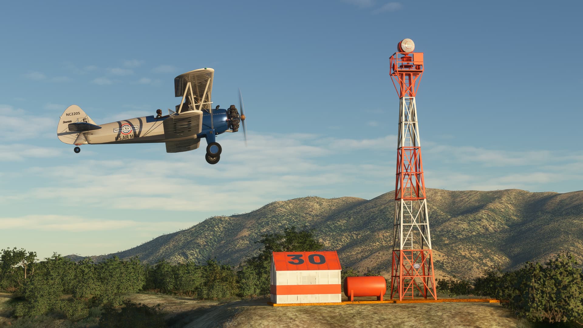
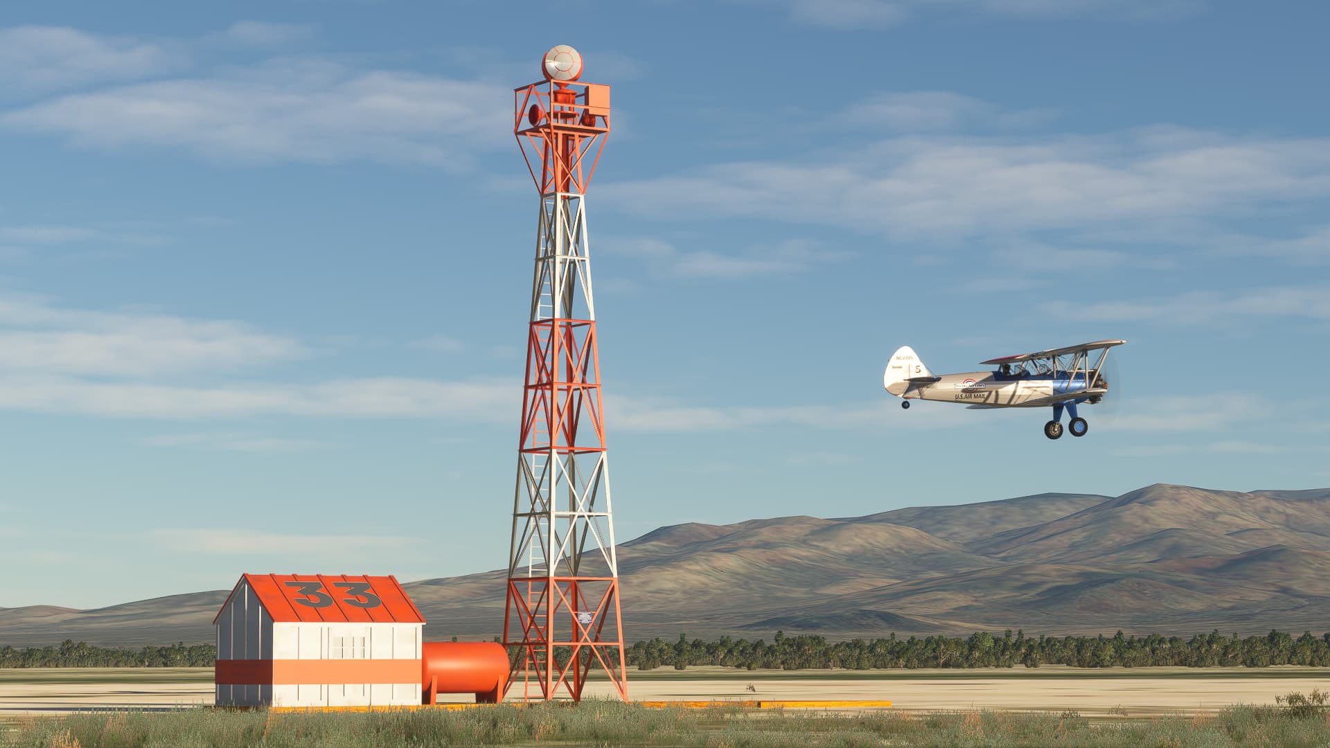
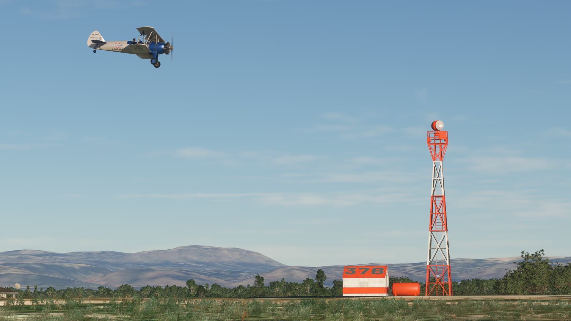
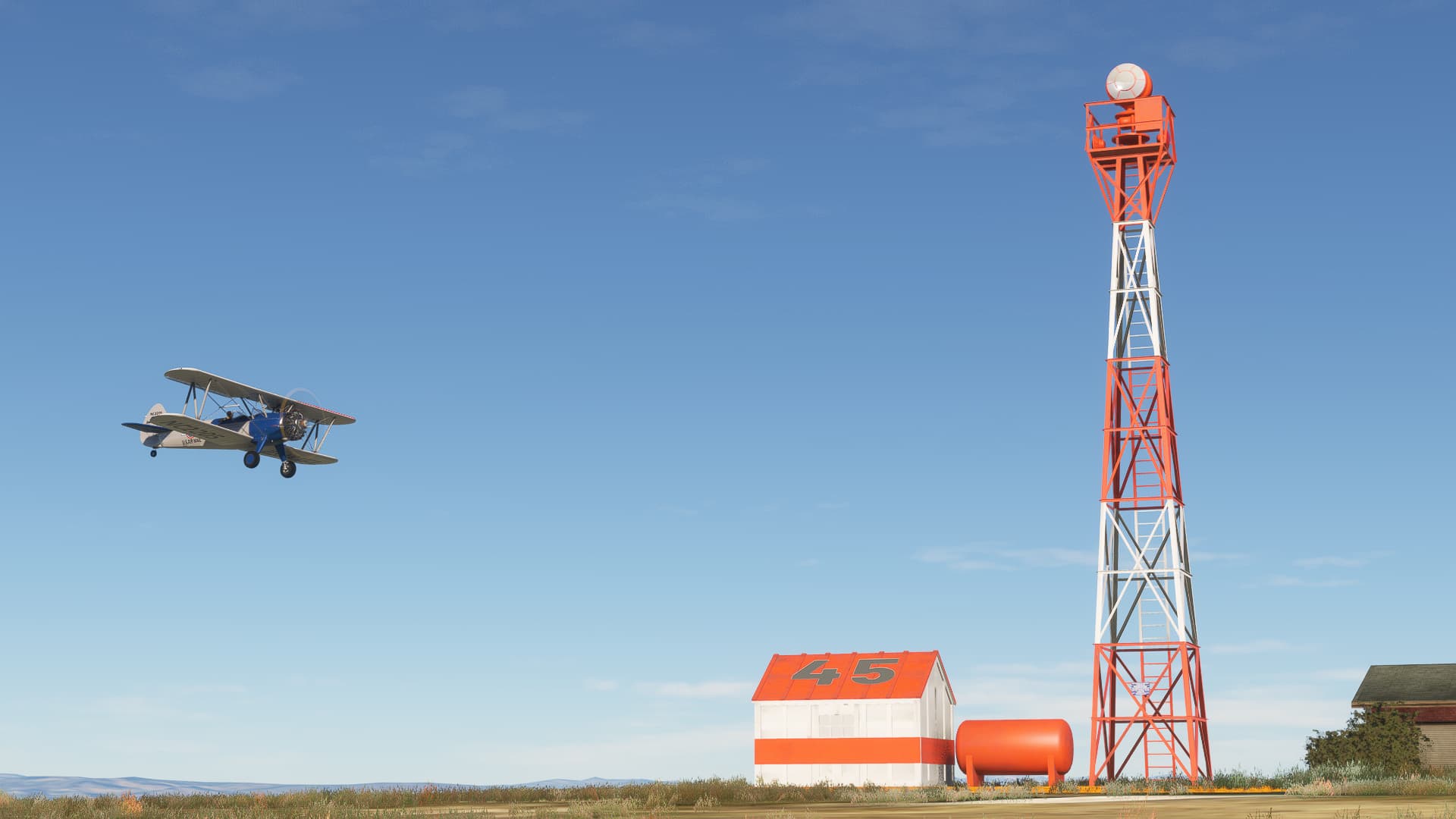
Hi, That is strange. The content of the zip should be unpacked in your community folder. The package is actualy a scenery enhancement,with a number of Intermediate Landing Fields, where you can take off from, or land when the weather gets worse during your flight. The other engancement is the placing of towers with flashing beacons every 10 miles or so, on the routes we created. You can go for instance to our Salt Lake City ILF (next to the current ‘big’ field) and take off from there. The CSV file in the package can help you find your way in LNM.
If you need more help, let is know.
1 Like
Can you explain how to create a flight plan in LNM with the .csv file ?
Would be a great help, thanks.
1 Like
The Mail Must go through!!
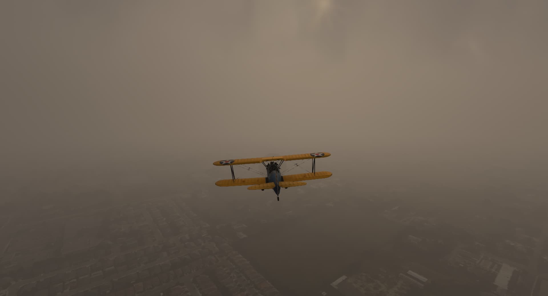
Just finished the Salt Lake City to San Fransico (Well I ended in Oakland) leg in the JU52 so decided to take the San Fran to San Diego leg in the new Golden Age of Simulation Stearman. First part I flew was from Oakland to 26AT Docif Atwater and the weather was fantastic
Because of the NFL Divisonal play - offs overnighted thinking the next day would be OK for the USPS. But the weather had different ideas.
Best was about 3 miles vis down to less than a mile in the rain squalls - flew at about 1000’ for most of the route - Wx really closed in near the destination and with a 5000’ ridge decided scud running was over so climbed into the muck to avoid the granite cumulus that lay in front. Dead reckoning the best I could was relieved to break out at 7000’ and the ridge was in the clear.
So released the sphincter muscle and thought I was home free — But Mother Nature hadn’t finished her way with me yet – the landing field 05B was socked in … naturally
Lets just say the Air Mail pilots were cut from a different cloth - 186 miles - 2 hours and 14 minutes of sheer anxiety - Thanks for making this mod
7 Likes
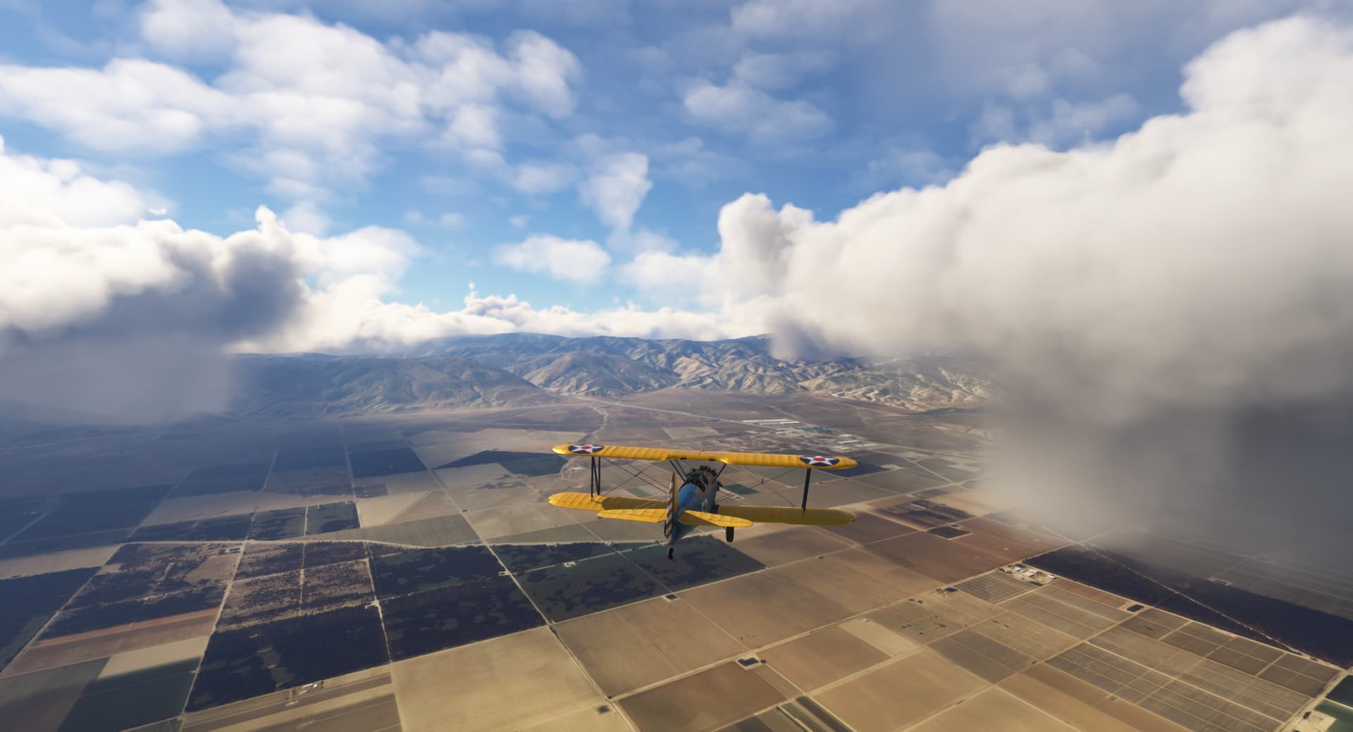
I’ve got to add my kudos to the developers of this great add on. Flying the LA-SL route in live weather has been the most immersive fun I’ve had in the sim for quite a while.
I’ve already made up my mind to fly all the routes—at least once.
Keep ‘em coming!
3 Likes
Wow, brilliant story!
I know how you feel.
During testing I also used live weather a number of times, and it can be quite daunting to follow the route, sometimes blind in the clouds, knowing there are mountains around.
Glad you enjoy it, and thanks for the pictures
2 Likes
Good to hear.
We’re slowly working our way east now, along the CAM 18 route to Chicago.
4 Likes
Hi, sure.
Save the .csv in a temp folder, e.g. on your desktop.
Open Little Nav Map.
in the top menu, go to Userpoints, Imports CSV, go to where you saved the file, select the CSV, and you’re done.
Then all beacons and ILF’s show up in LNM.
From there you can start making a route, by selecting a Start and Destination airfield, and plotting your way inbetween.
I hope that helps. Please don’t hesitate to ask, here to get you on your way.
4 Likes
Thanks a lot, will try it soon.
Blue skies.
2 Likes
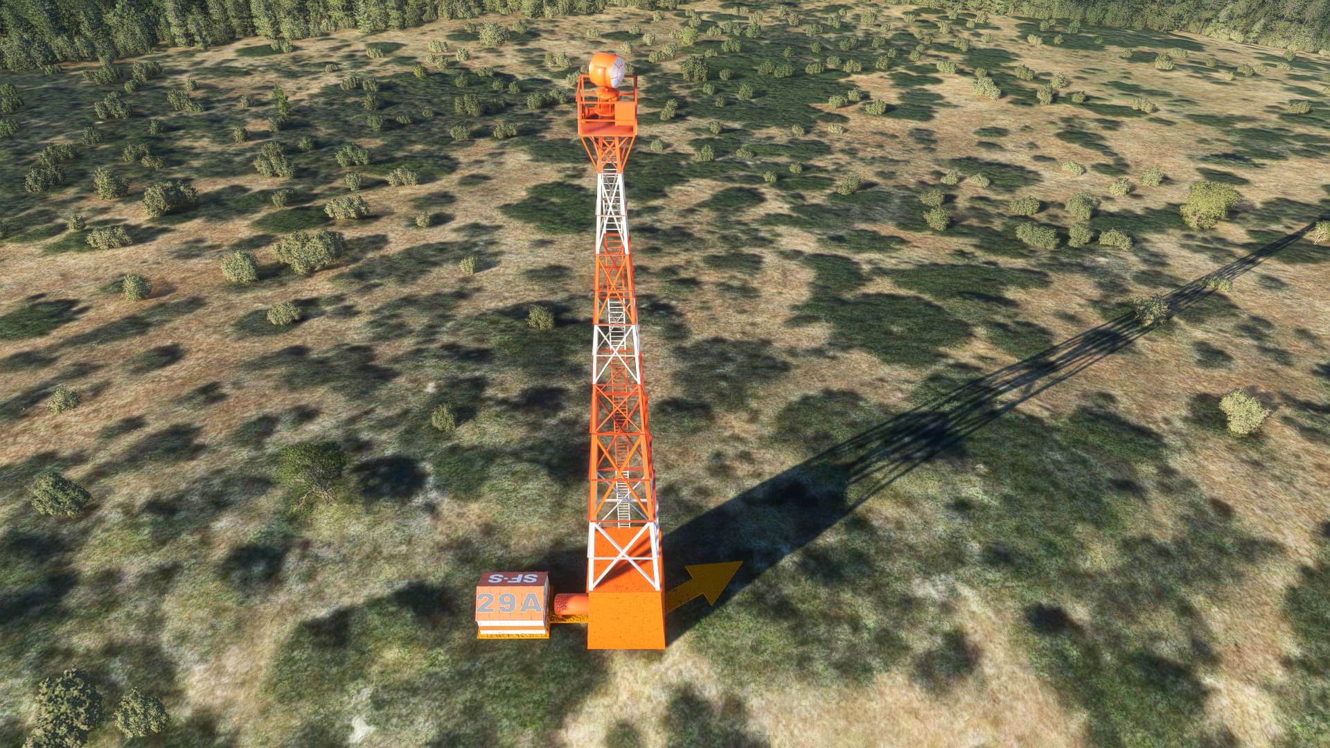
Curious if “SF-S 29A” is supposed to be this high or ?
Looks its supposed to as it’s on a hill?
1 Like
Hi,
Sometimes, for visibility from far away, we choise a higher beacon tower, like in real life sometimes, in wooded or hilly area’s
Cheers, Rob
1 Like
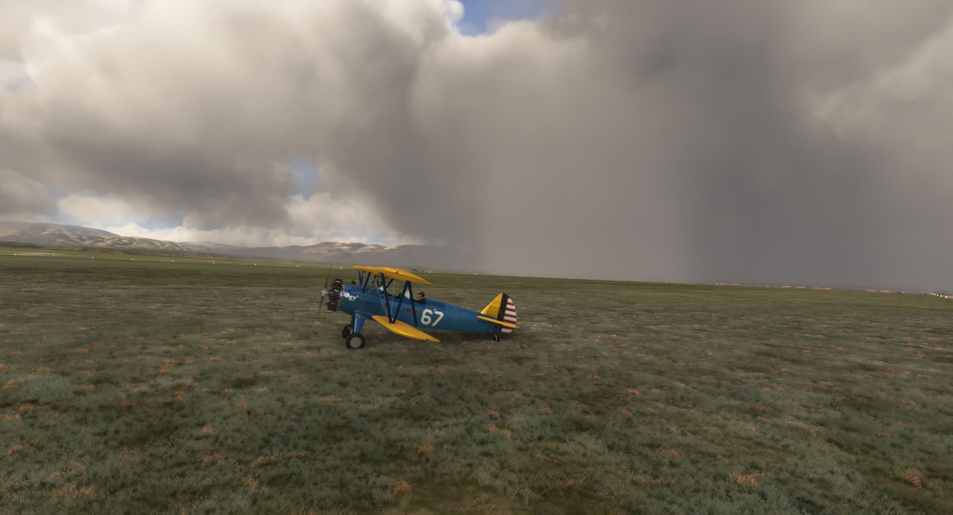
Flew part of Air Mail Route 18 from “28B Humboldt DOCILF” to “48 Ventosa DOCILF”
5 Likes
Great shots 
You must have been flying at some 200 ft agl?
Anyone has an idea at what altitudes did the pilots usually fly? Suppose daytime and reasonably good VFR?
1 Like
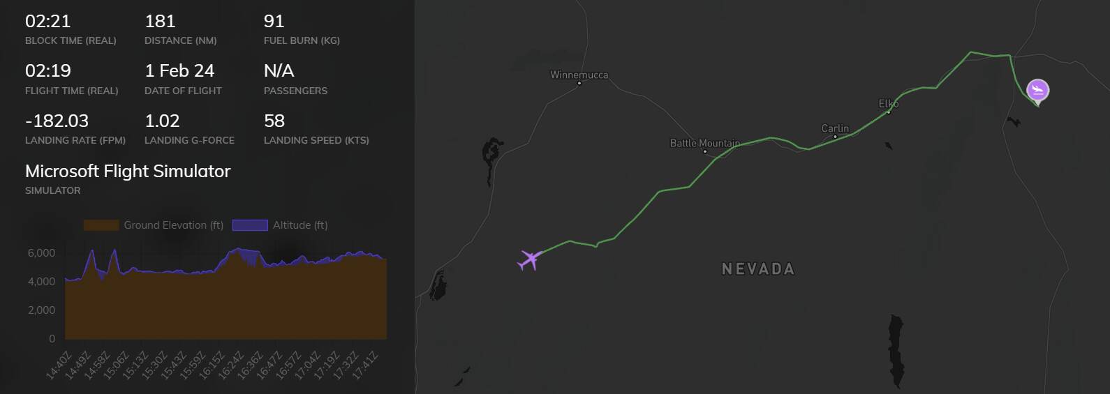
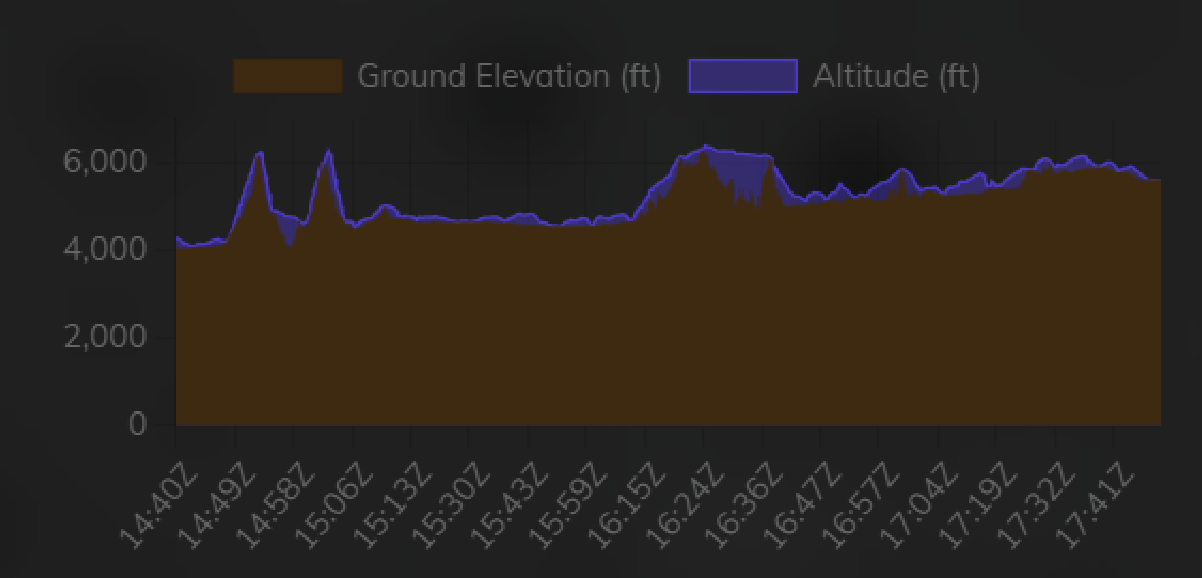
Volanta Tracking:
Guess I did dip down near ground for beacon seeing.
2 Likes
Nice flight recording. What are you using?
In his biography, Elrey Jeppeson talks about flying the mail at between 50ft and 500ft AGL in order to follow landmarks.
There is a story of his in the manual that illustrates how low some of the pilots really went…
4 Likes