It’s possible the gridded model output from Meteoblue has to be processed into another format that Flight Simulator can use, and this might take awhile. But Microsoft has the infrastructure such that this should be a non-issue. It’s also possible that Flight Simulator could just read and use the model output directly with no server side pre-processing needed. They’d just need servers to mirror and distribute the data to millions of users. But even if it tacks on another couple hours of time to process the forecast, this delay still shouldn’t be apparent to users in the game. Whether it takes 6 hours or 20 hours to make the updated data available to the game, there should still be a forecast that’s valid for the current hour, and it should still be accurate enough such that major weather systems aren’t displaced by hundreds of miles.
But maybe Microsoft didn’t want to commit the infrastructure or servers hosting and processing global weather data? Maybe the much smaller game developer studio, Asobo, is actually hosting and sending this data? Kind of like how Aerosoft, a European publisher far smaller than Microsoft, was tasked with the physical distribution of the boxed version, which apparently Microsoft couldn’t be bothered with? Perhaps the weather data is getting treated in a similar fashion, like this game is Microsoft’s red headed stepchild. I’d love to get a behind the scenes tour of what’s going on with this game, but I’m sure that will never happen.
METARs are supposedly already in the game. The developers discussed in a QA session somewhere that they’re blending METARs in with the model data. The problem again is that we have no idea when this is happening, what METAR stations it’s using, which observation time is being used, and how that observation is being translated into the simulator’s weather. It’s just a big mystery box again.
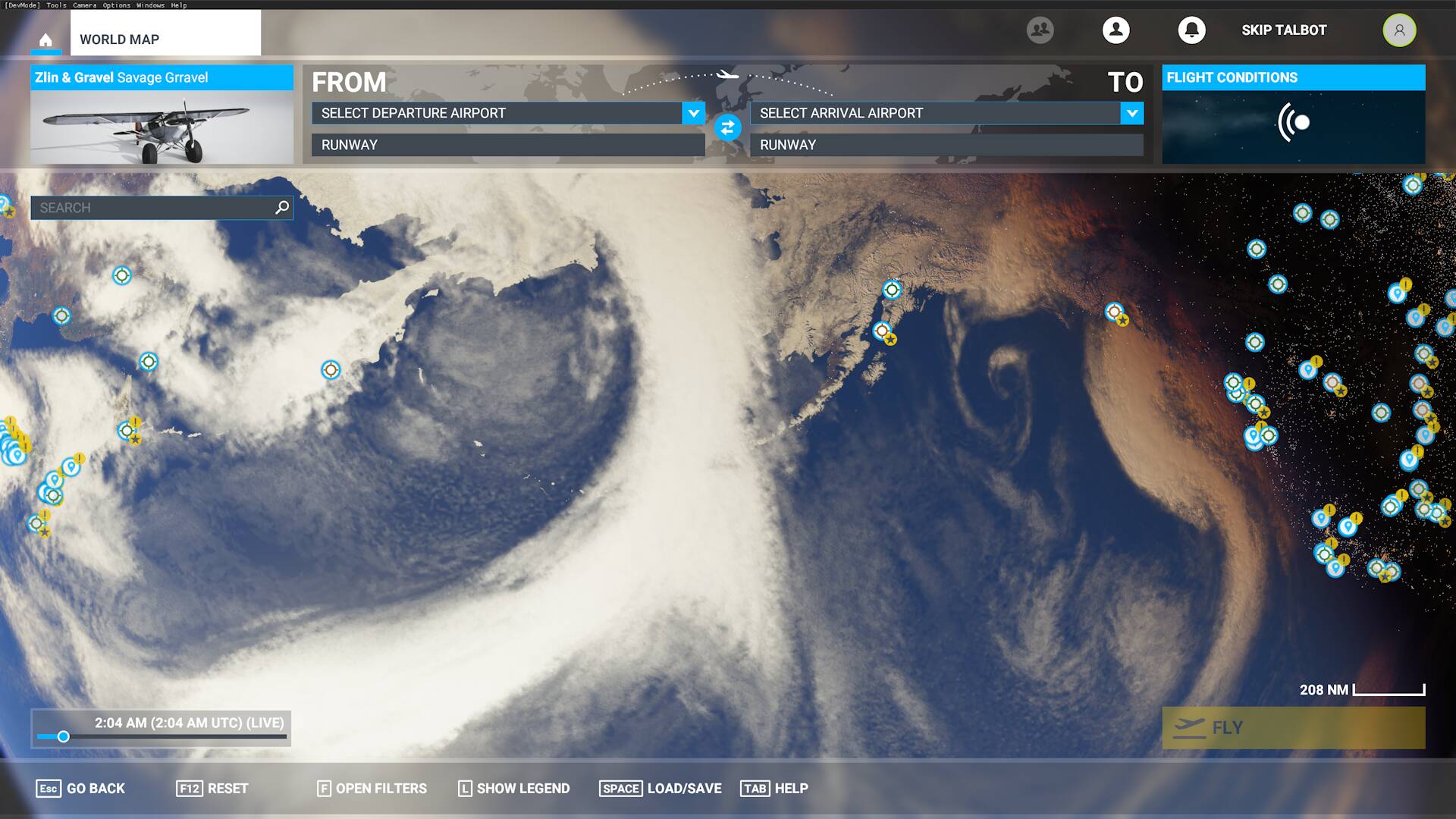
I think that’s what’s actually holding us back from flight planning though: The state of the weather engine in Flight Simulator is in. At worst it’s an early alpha where it’s missing major features (remember live winds were largely broken at launch, humidity and visibility are still almost entirely missing), or at best a buggy beta (like how my weather data is off by 12 hours). I think if the weather engine actually worked as advertised, you’d simply use whatever weather tools you normally use for flight planning. You’d go and download METARs from whatever site, and the simulator’s model based weather would be close enough that they’d still be usable.
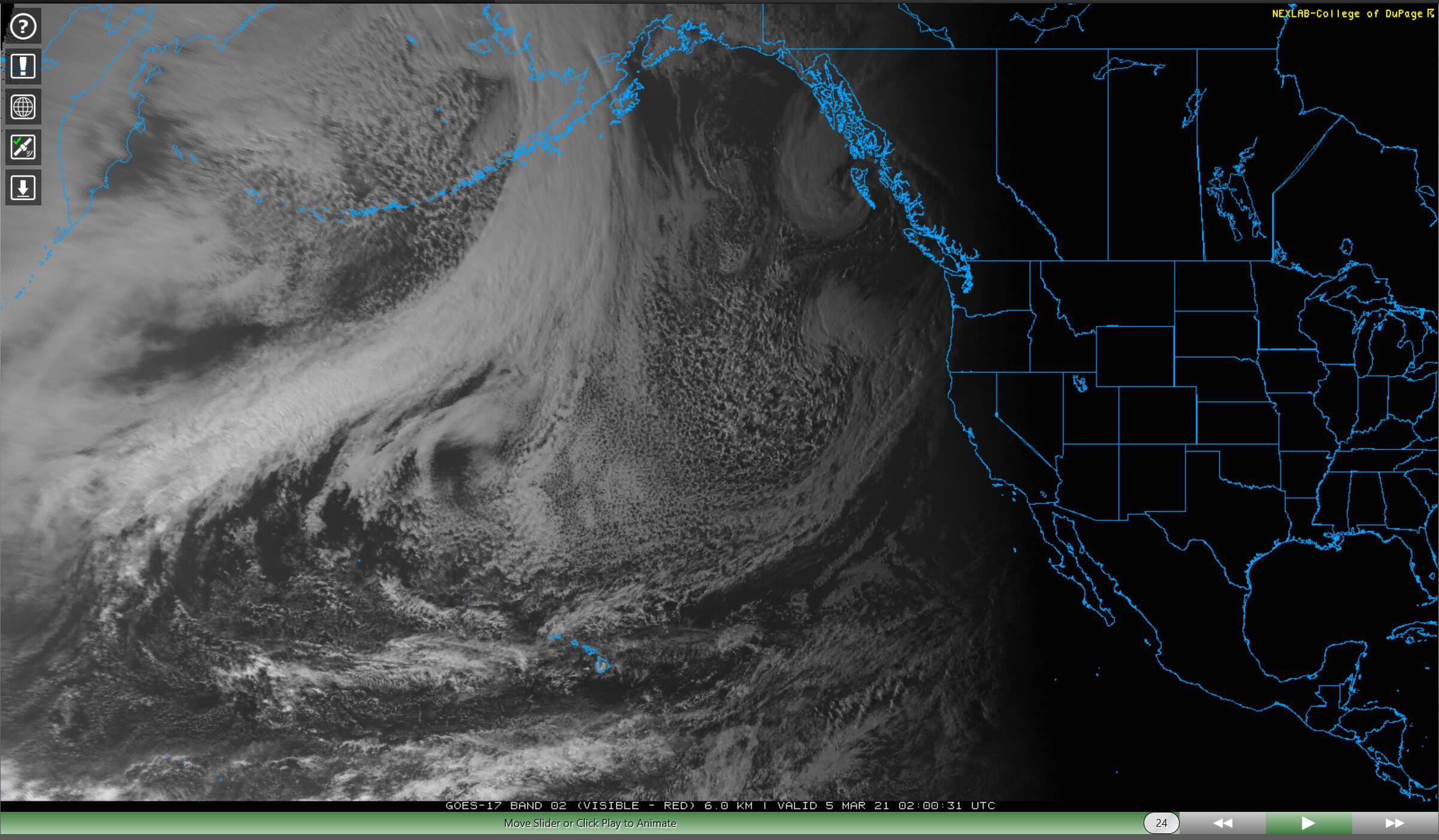
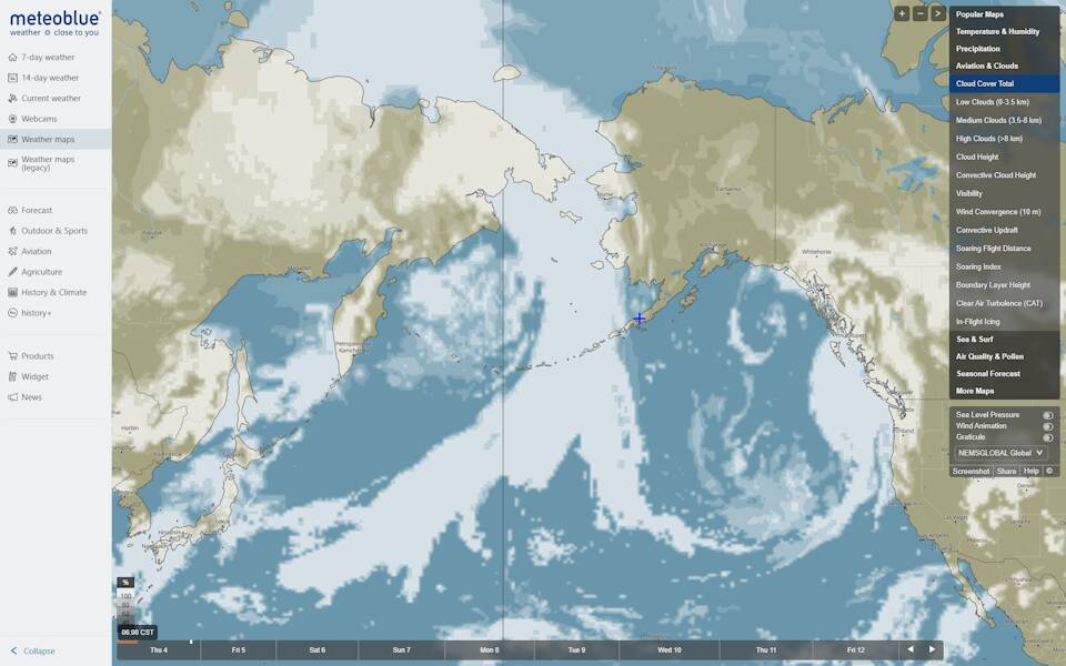
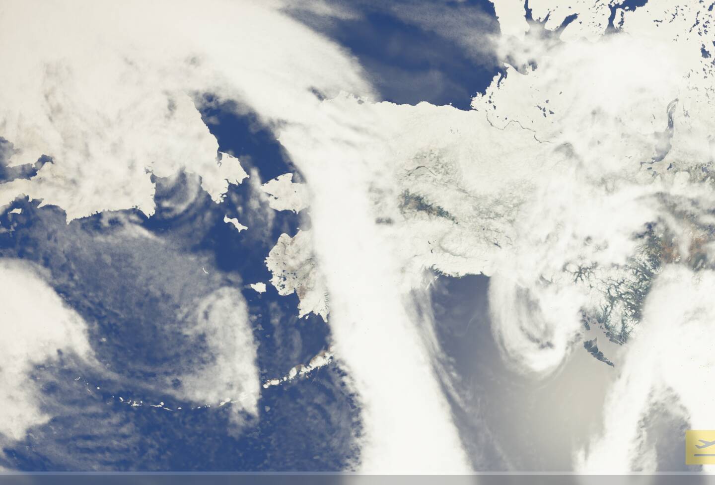
It’s cool that we have a peek at what’s probably the actual data going into the simulator’s weather, which is what’s displayed on the Meteoblue website and what this thread demonstrates. It reminds me of how we can see the actual textures and scenery that Flight Simulator uses by opening up the Bing Maps app. But I don’t have to use Bing Maps to plan my flight. The implementation of Bing Maps in Flight Simulator is such that I can use Google Maps or Skyvector to plan my flight, and they’re going to be close enough 95% of the time. A few airports might be missing and a few roads need updating, but any other usual source is totally usable for navigation purposes in the simulator. The weather should work the same way. I should be able to use the Aviation Weather Center or other data from the National Weather Service, Windy, or models like the ECMWF to plan flights. There shouldn’t be a need for hunting for data on a third party’s proprietary website or asking Meteoblue to create new flight planning tools that work on their NEMS model. So I think what we’re after here in order to get usable flight planning capability, is to keep pressuring Asobo to actually finish the weather engine, and not let them say that this is good enough.