I’d like to learn to do VFR flight planning in a way that’s as close to real world as possible. Specifically, now that we have great graphics, I want to use pilotage, I think. I want a flight plan that’s like “turn left at the hospital, go past the 3rd hill on the right, etc.”
I’ve watched a bunch of videos on how to create the routes in skyvector, but now I’d like a program to pull all the info together into a cohesive flight plan with airport information and charts, my customized waypoints, VOR radials and distances for confirmation, and vfr charts that don’t have my location on them.
Is there software like this? I assume there must be something real pilots, or experienced virtual pilots use but everything I see is more for commercial routes and stuff like that. I don’t mind spending some money on it, I just don’t know what to look for. I’m pretty newbish.
Thanks for any advice.
1 Like
I just use https://skyvector.com/ and a notebook (paper one). 
There’s LittleNavMap ( Alex Projects - Little Navmap ) too but I think charts and paper are easier for me.
3 Likes
Thanks. I installed Little Navmap, but it’s incredibly frustrating. Several of the windows seem unable to fit on my screen (1920 x 1080) to the point where I can’t close the window, or can’t see the buttons, etc. I got frustrated with trying to learn it because I had to keep shutting the whole thing down just to close a pop-up window.
1 Like
Little NavMap is a great little app. However, although it will connect to MSFS20, you will likely find that it will slow your sim down considerably. This is only because LNM has yet to be updated for MSFS20. When it is, it’ll be the bees knees for VFR.
1 Like
Another thing you could do (in the US at least) is stop by your local airport FBO and see if they have any old vfr charts and green books that are expired (they change pretty often) that you could get from them for flight sim use. 
2 Likes
SkyDemon for several reasons
1 Like
If money isn’t an issue and you have an iPad, although they probably support Android devices now, a subscription to and Electronic Flight Bag product like Foreflight is great for access to VFR maps with support for VFR waypoints and ability to link to most sims for moving map navigation. Personally, I use a product in Australia called OzRunways - wouldn’t be without it. The biggest area of possible concern is the yearly subscription that can be daunting if money is tight. These products work with FSX, P3d and Xplane and will no doubt eventually work with MSFS for direct connectivity and moving map display.
1 Like
dunno if it helps, but I was killing time between appointments near a 2nd tier airport (YMEN), wandered into the pilots shop and picked up a handbook of every airport, frequency and runway descriptions, along with a couple of large charts.
Yesterday was a day circumnavigating Tasmania, using many tiny airports not loaded into MSFS, but using the book I could get the airport codes, and frequencies and everything worked perfectly! I even had a heads up in the book on local VFR hazards
side note.. the sim has many issues, but it is otherwise amazing. I used to be a territory rep who covered Tasmania and circumnavigated it at least once every 3 months for several years. I was able to follow the Midland hwy easily, recognising the terrain all along the way with weather that is regularly seen in those areas… ground level clouds/fog in Launceston for example. In other words, flaws aside, this Sim is blowing my mind and if having to stare at the corporate logos constantly on startup did not make me want to punch them… they would be my favorite companies right now. And get a dedicated team to work on bridges… the need some serious work!
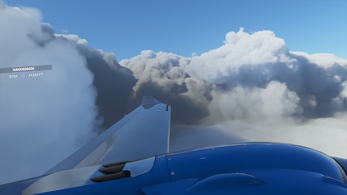
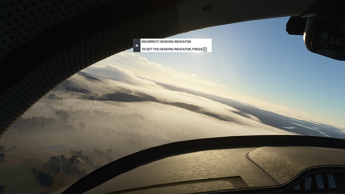
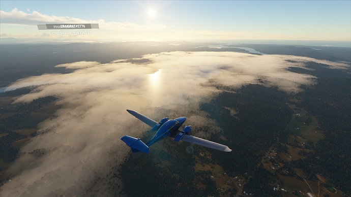
ramble aside I hope that helped. - pics. (also you know you’re in trouble when the rain turns pink)
3 Likes
Hey, thank you all. I guess I’ll try to get Little Navmap working on my pc. I appreciate the advice, and nice pictures! This sim is amazing in my opinion, they’ve done a brilliant job.
2 Likes
HI,I am running little Navmapin MSFS2020
I installed P3D on another drive,
so that LM can access the databases.
1 Like
Keep an eye out for a program called Plan G. I know that the developer is working on the version for MSFS2020.
Have a look at it on the WEB.
1 Like
I recommend typical system 
use of real VFR map or similar web updated VFR maps via Airac cycle 
Simply pilot can fly VFR via more possible things also GPS but for first looking outside and compare with VFR map in runtime. I don’t use any app inside sim for VFR nav because this isn’t real…


