As usual, I first thought I’d have it understood and then I find DNJ VOR which gives me headaches.
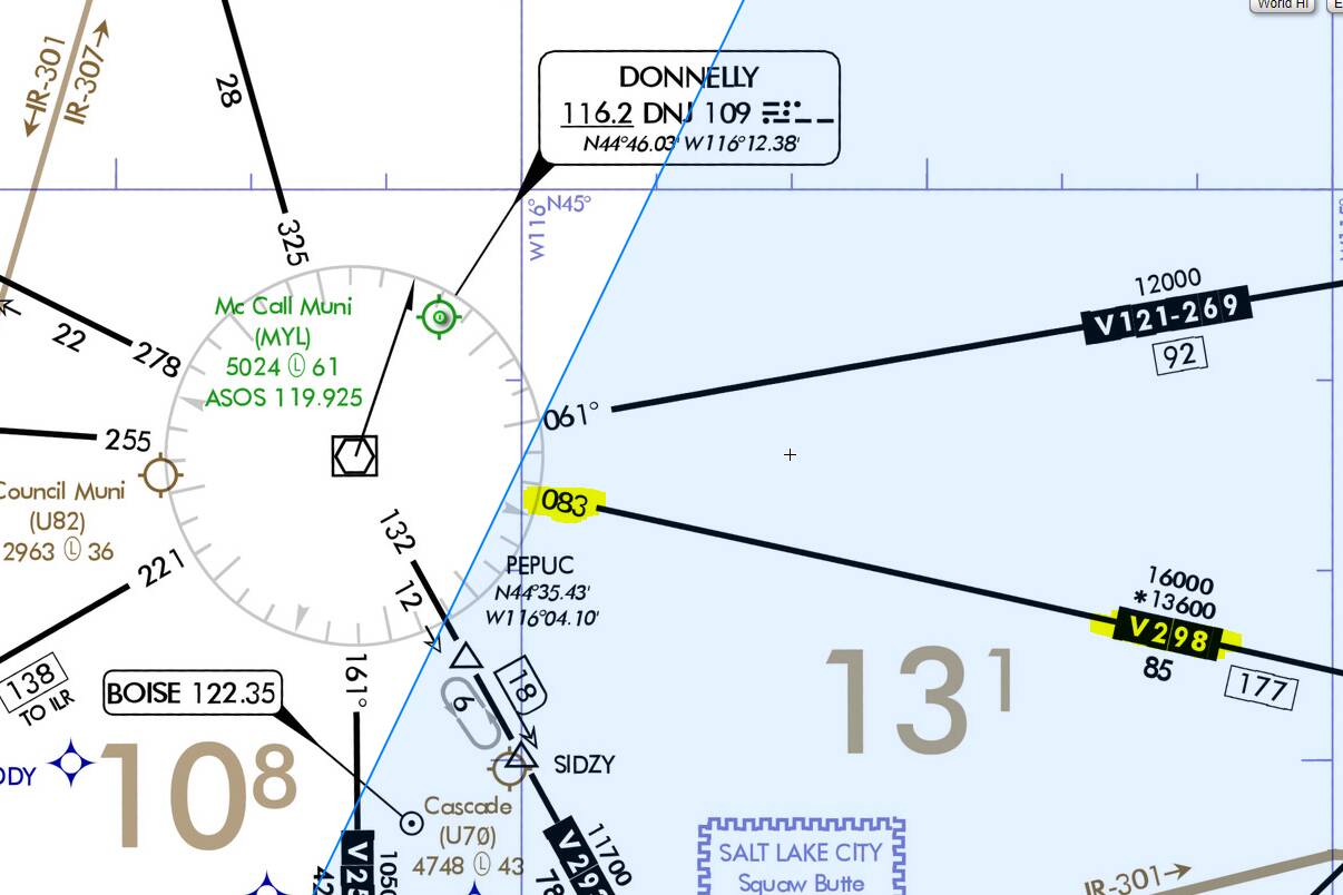
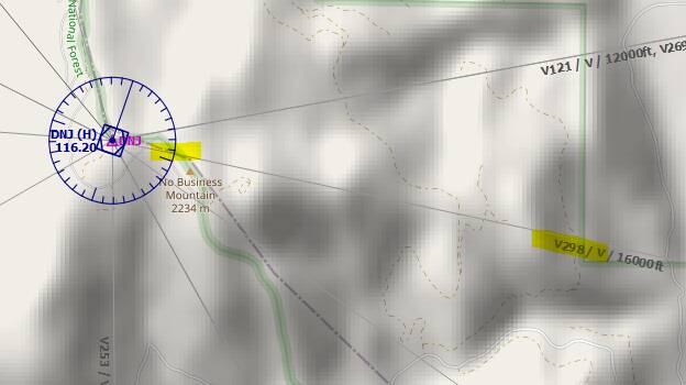
So the charts and the VOR rose in LNM both agree that V298 is outbound radial 083°:
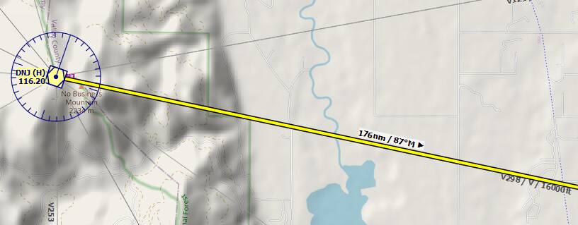
Now if I create a flight plan, it either shows me 87° (if I disable ignoring of the declination):
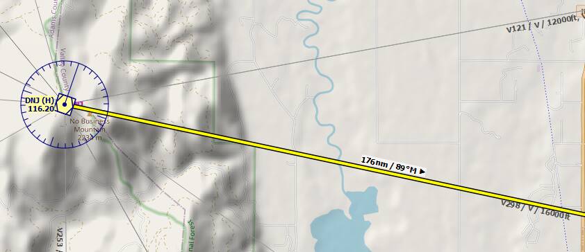
Or if I enable the ignoring of the declination, it shows 89°:
When doing a measurement between the VORs, I get the 083° that matches the radial:

I’m confused, to say the least ![]()
So could it be that the measure distance tool shows the radials when starting the measurement from a VOR?