Some insanely beautiful screenshots here. Good job guys.
1 Like
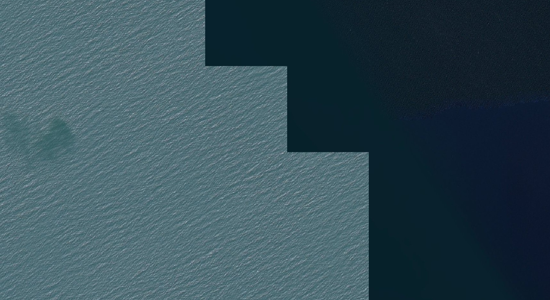
Why is that? “Water masking” or “masking” in general refers to blocking out information that is present in an image but that is not shown. It’s called that way in Photoshop when you mask a layer, it called like that in movies when the top and bottom parts of a Super 35 frame are masked to hide mic booms and such, and it still applies here because the texture information of shallow water is available but masked out/invisible in certain areas.
3 Likes


OMG…
WE ARE NOT IN KANSAS ANYMORE!
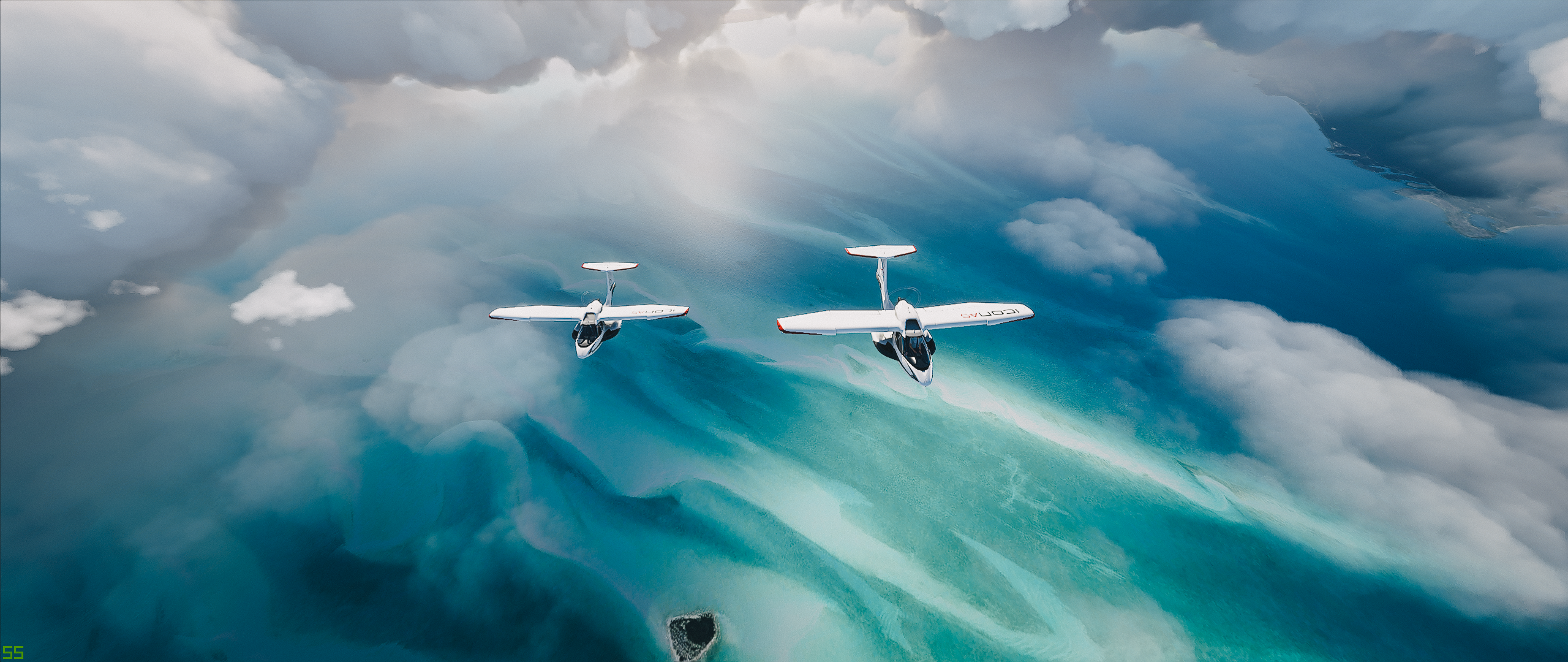
That second shot is Divine!
Sadly can’t say the same for Maldives.
1 Like
My point was, that in image source - mainly Bing maps, water is not a Separate layer (just like clouds initially).
Water and clouds needs to be smartly cleaned to represent a clean final image:
-
Clouds not to interfere with the landscape (here it would be fair to refer to cloud masking)
-
Water needs to be adjusted in my understanding only to remove waves and ships.
I don’t understand why the rest of shallow underwater data cannot be represented AS IS in maps source?
In Q&A developers mentioned that in many cases this underwater source data was not good enough to be visualized (gave examples which i didnt understand), so they by default obscure it with deep water layer on top.
Really in my mind let AI fix those would be much better scalable solution, that to manually adjust visualization of shallow water data.
2 Likes
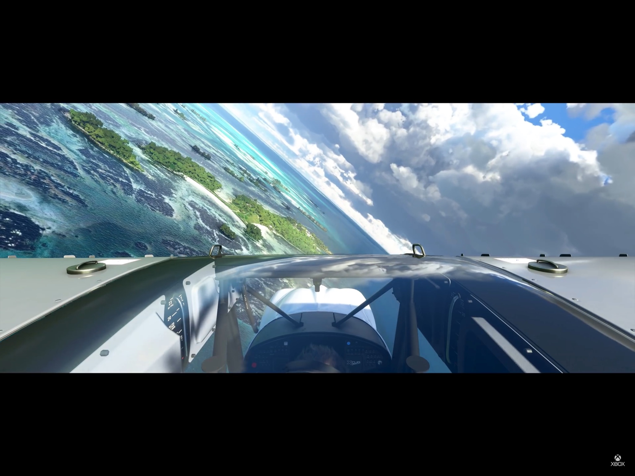
Where is this
India and Sri Lanka have received a poor deal in this sim, to date.  I mean we are only talking about some of the world’s most naturally beautiful places.
I hope the devs and their associates at Black Shark/Bing can address this at some point in the future. Same for SE Asia, generally. It all needs another far more considerate pass. I hope they stay with this project long enough to do this.
2 Likes
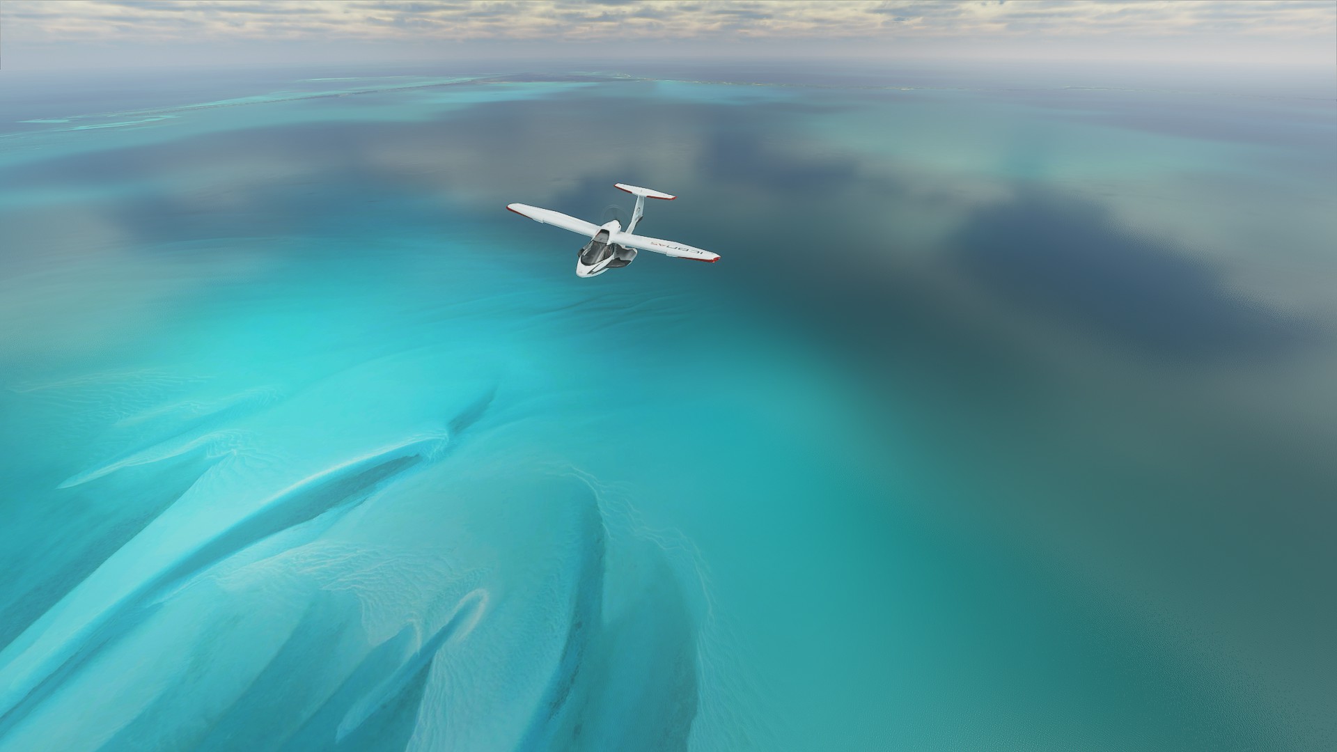
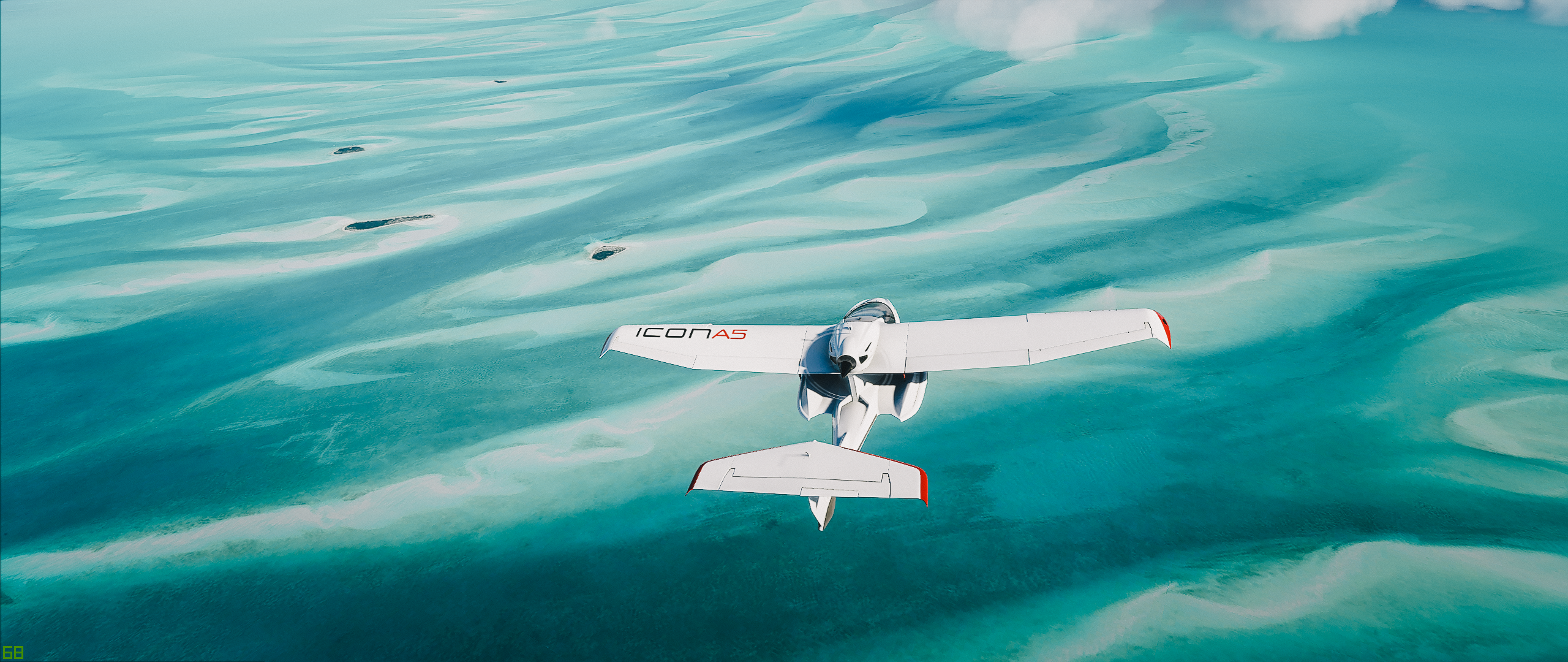
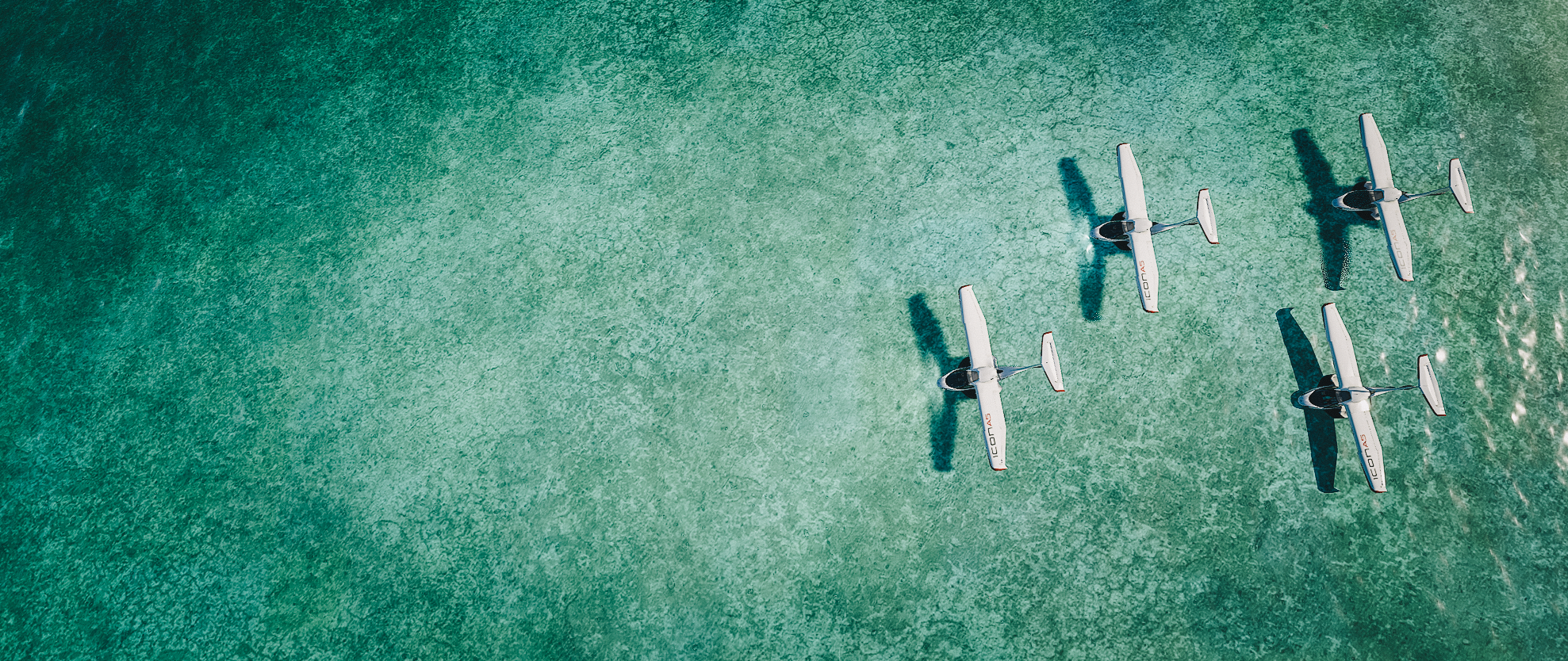
Bahamas 25.025081, -76.528483
Those photos look so real! FS is such a beautiful thing!
2 Likes
No, the Bing map are not enough good for all shallow in the world, make them all visible you will see post like: Please fix all these ■■■■■■■. shallow, there is tiles\blocky\square and different colour image within the same location on many place, that need to be removed manually\blend\shade if ever possible, the real source is when you zoom in, not at far (are not usable) the data source is issue, it’s far more then removing wave\clouds, it’s fixing the original source to work without line\tiles\block\un matching colour issue at the same location.
What they need to do is augmented water shallow with generic “Bing” texture like they did with the AI building but for water will be easier for those place that are impossible with Bing. So we will have default Bing where they works + augmented water shallow.
1 Like
Thank you for explanation! This is really fascinating topic.
I got the point on source data being bad, but can you describe better or maybe refer to the method on how this masking is done?
I investigated a bit and found this 2016 video https://www.youtube.com/watch?v=utWlj88uHnE describing the process of creation a water mask. Do you know if methodology is still ± the same?
I don’t know but it might have similarity, they need to do it by hand to avoid artifact from Bing this is for sure and when it’s usable on shallow water.
Just flew over the sea around the Bahamas and wow, what a difference water masking makes. I hope they do the same over the rest of the world.
2 Likes
New uploaded here Random Screenshot Megathread
1 Like
Yep, that goes to my desktop background. If I’d post this to my FB, no one would know it’s from FS 
1 Like
Other screenshots Cockburn Harbour this time
“Random Screenshot Megathread”