It’s starting to become entirely what I expect
They released every single update in such condition, so yeah, I believe it very much. After 6 previous updates causing major problems and breaking things that worked fine before it’s definitely par for the course.
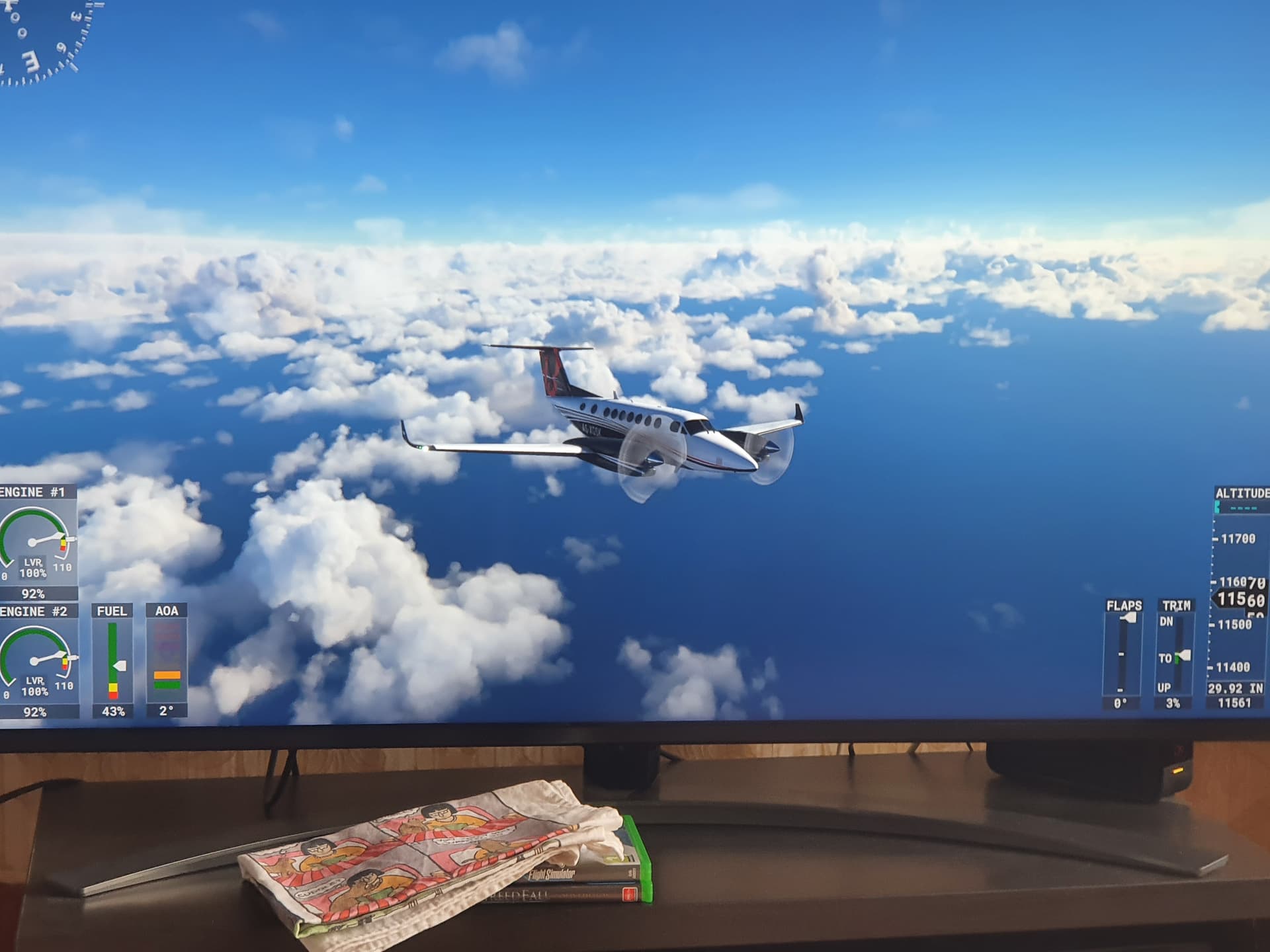
It is really so frustrating. I just finished a flight from LIMC to EDDM. In EDDM it’s supposed to be 1400 OVC. Due to the low cloud bug the clouds where touching the ground. Furthermore they had a very low resolution and looked just weird.
Around the airport there were no clouds. There were just some clouds “laying” on the airport.
I miss the old weather system. If we could get it back and just get some sort of visibility/ fog implementation it would be really great.
I wonder what on earth is going on prior to each update at Asobo. I would be ashamed to release something that bad.
7 Likes
Yes, we all keep asking the same thing also ![]() I don’t know how it ever passes their testing or quality control
I don’t know how it ever passes their testing or quality control
4 Likes
You could try REX Weather Force 2020.
It’s pretty good, and serves up a fairly accurate mix of weather as you fly. I think REX has more weather reporting stations than MSFS 2020. It seems like MSFS 2020 is more a “regional” weather representation, while REX is more likely to correctly reflect the weather in any given location.
1 Like
Can we please have options to turn METAR injection off. Not everyone wants to have them integrated. We need more options in live-weather. I want everything prediction based as it was at release. Not force things on us that you didn’t have at release. That only make people angry and leave the sim.
4 Likes
I am, with you in this…I would like the option to have the same weather as before
2 Likes
I want smooth transissions back and dynamic weathet without those static METAR injected. Maybe the fog/haze could be added but only that.
The weather engine we had was amazing!
This video is made 4 months ago.

7 Likes
Just took this photos, I was hoping to see some changes, but no!
The weather is the same in every direction, also same weather and clouds in most airports

1 Like
Yes that is the nature of METAR based weather system. Maybe active sky has made it better but they only focus on weather and it will always be fake because METAR can’t see the whole picture of weather. Only very locally. Prediction is not accurate but it is the whole picture and i prefer that and it feels more realistic to fly in.
You are making the incorrect assumption that all clouds you see in the sim are now coming from METAR, and that is absolutely not the case. It may be true when at low altitude in the immediate vicinity of airports, but not for higher altitudes.
I have been flying several test flights over the past few days, trying to determine how far (and how high) METAR clouds extend. As near as I can tell, clouds (and visibility) coming from METAR fade out when you get higher than about 5000-6000 feet above the ground. Any clouds you see at higher altitudes (even those well below the current altitude) are coming only from the MeteoBlue predictive model, just as they always have.
I just landed from a flight conducted at FL 320 from Knoxville, TN (KTYS) to Saint Louis, MO (KSTL). My route crossed an active cold front currently extending from the Great Lakes to Texas, with embedded thunderstorms. The front was well-depicted in the sim, with multiple cloud layers and a good variety of cloud types and a well-defined eastern edge and more diffuse western edge. I spent most of the flight in external view looking down and around, and I am confident that all clouds being injected were coming solely from the MeteoBlue weather model, and none from any METARS that may have been reported by airports along my route of flight.
KSTL is currently reporting 2000 foot broken. What I saw in descent was closer to 1000 foot scattered, with excessive haze. Those clouds, and the haze, only came into existence as I was descending below 5000 feet, which appears to be when the influence of METAR “kicks in”.
1 Like
But that doesn’t matter if METAR and meteoblue not match eachother. It looks wrong when they report different things. And it’s hard to implement in a good way. Metar says one type of cloud and meteoblue report something else. One of them needs to be prioritized and then the other needs to dissapear somewhere. Or sometimes both are vissible and then it looks very wrong with many different type of clouds. If they had options we could decide for our self what we want. Maybe you like it as it is right now. I don’t and want the old system back that i liked more. Maybe they fix it in the future but i can’t know the future. I know what i had before though and that was more realistic in my opinion.
1 Like
That’s exactly the problem, a visible bubble arises. This creates a mess and the harmony is lost. Has already been observed several times.
1 Like
And then what is the point adding METAR if they need to match to be realistic?
I don’t disagree. There is a definite problem with how the METAR and MeteoBlue clouds/visibility are mixing (although sometimes it works well).
My point is that the mix only appears to be happening at low altitude - which seems to be around 5000-6000 feet AGL. Above that altitude, any clouds you see are coming exclusively from the existing MeteoBlue model, and none from the METARs - and that includes clouds below your current altitude.
For me, the mix makes no sense at all. I would be more for two options for choose: dynamic live weather and metar based live weather. So there would be something for everyone.
For my part, I cannot understand why someone would want to resort to such outdated technology as metar for weather generation. Better in my opinion would be a meteoblue based weather and metar that refers to it.
2 Likes
But bellow that point the meteoblue clouds dissapear. I have tested today and i think they prioritize the meteoblue weather a bit more now though and that is good. Maybe placebo effect i don’t know realy 
I think the thing they could only add is the fog/haze. All of the clouds even bellow 5000ft should be injected from meteoblue always. It’s the visibility meteoblue has hard to predict. And even if it not always accurate predicted it looks more realistic if clouds not randomly are placed in the sim. Meteoblue knows where the clouds coming from and where they are moving. Fog/haze would be cool if they also was predicted and moving in the environment but that i think is hard for meteoblue to predict. Maybe they could add a layer of fog/haze and then make it move with the wind direction or something.
1 Like
I know what you mean, but I see two reasons for this, as I have already mentioned.
It may be that the Meteoblue (or forecast) clouds are shown but completely in the wrong form and only as a collection of cumulus or similar cloud forms - below 5000 the same cloud types are shown again, this time (possibly) from METAR and unfortunately either with the wrong base or height and in addition the representation is “wrong” because, as you mentioned, BKN are not shown as BKN but as, in the example, “SCT” - then this haze appears there in part, which looks good in principle, where it should be, there is none and where is no haze, the haze is depicted.
This means that neither the METAR part works correctly, nor the transition, nor is the representation on the part of Meteoblue (at least in the form) correct - that is why you see these generic clouds without cloud shadows everywhere, and the “mix” is often wrong!
Maybe it’s my system, but I don’t see such “stratus-shaped” clouds (if they weren’t any) anywhere in SU7 anymore !
Weather can not only be seen locally. There are structures that go across a complete continent or ocean. This simply cannot be reasonably generated with metars.
but wasn’t that already partly the case?