I agree on both points of your post !
1.Norway is breathtaking…irl, but MSFS renders it very well too.
2. please keep a max of 10 pics per post, the comunnity is large, and if everybody post 10+ pics, it’s fast going to be overwhelming. Another idea, would be to post a link from a video, if you really want to show an entire part of a flight ( e.g taxi+t/o, landing+taxi, inflight with stunning panoramic view…  )
Happy flying, folks !
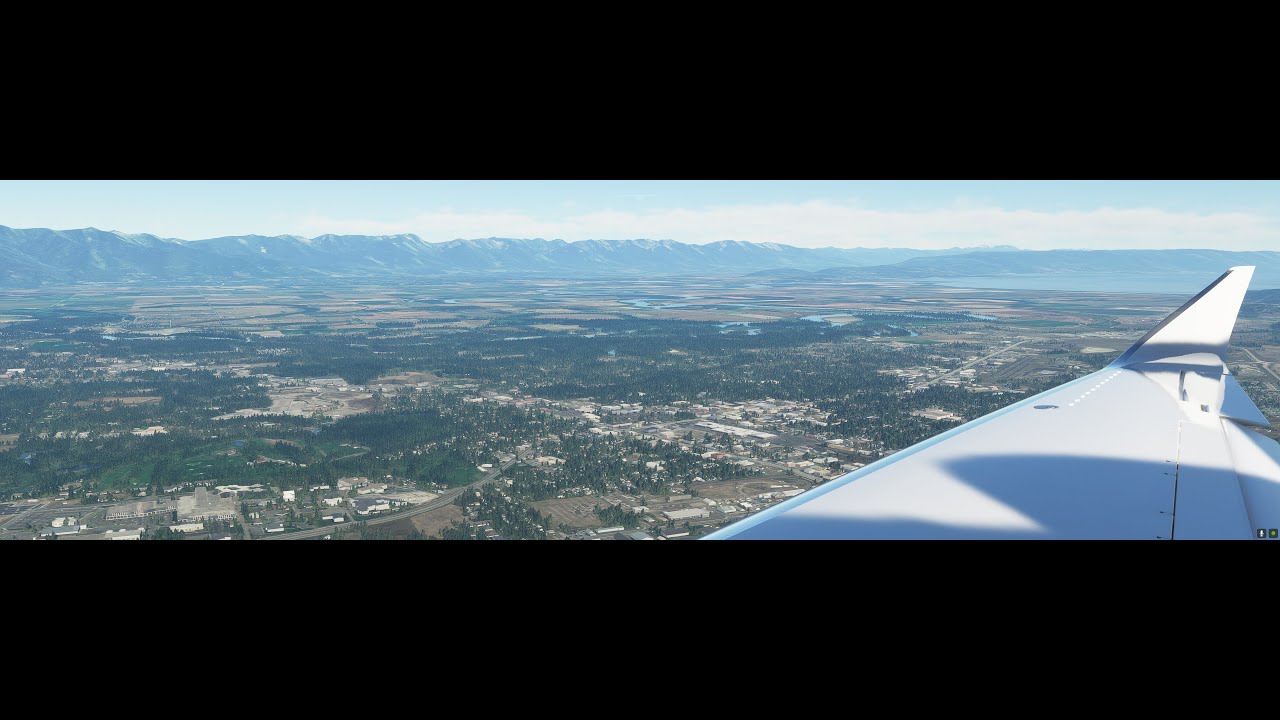
A very turbulent 1h42m flight up from Monterey, CA (KMRY) to Kalispell/Glacier Park Intl, MT (KGPI). Real weather showed “smoke” but the sim hasn’t exactly figured out how to render that, I don’t think. We shot the approach to ILS runway 02 and basically nailed it. Spot on per the published approach plate all the way down (great when ATC works!) and a mostly butter landing. YT vid link of approach/landing:
Tried to work out paths for getting into KSLC from the north east that would keep me below 8000 feet. Some old 1920’s air mail route maps suggested this. Looks like following the canyons is the way to do it.
Getting over the Sierras into California might be done following the Western Pacific Feather River Route.
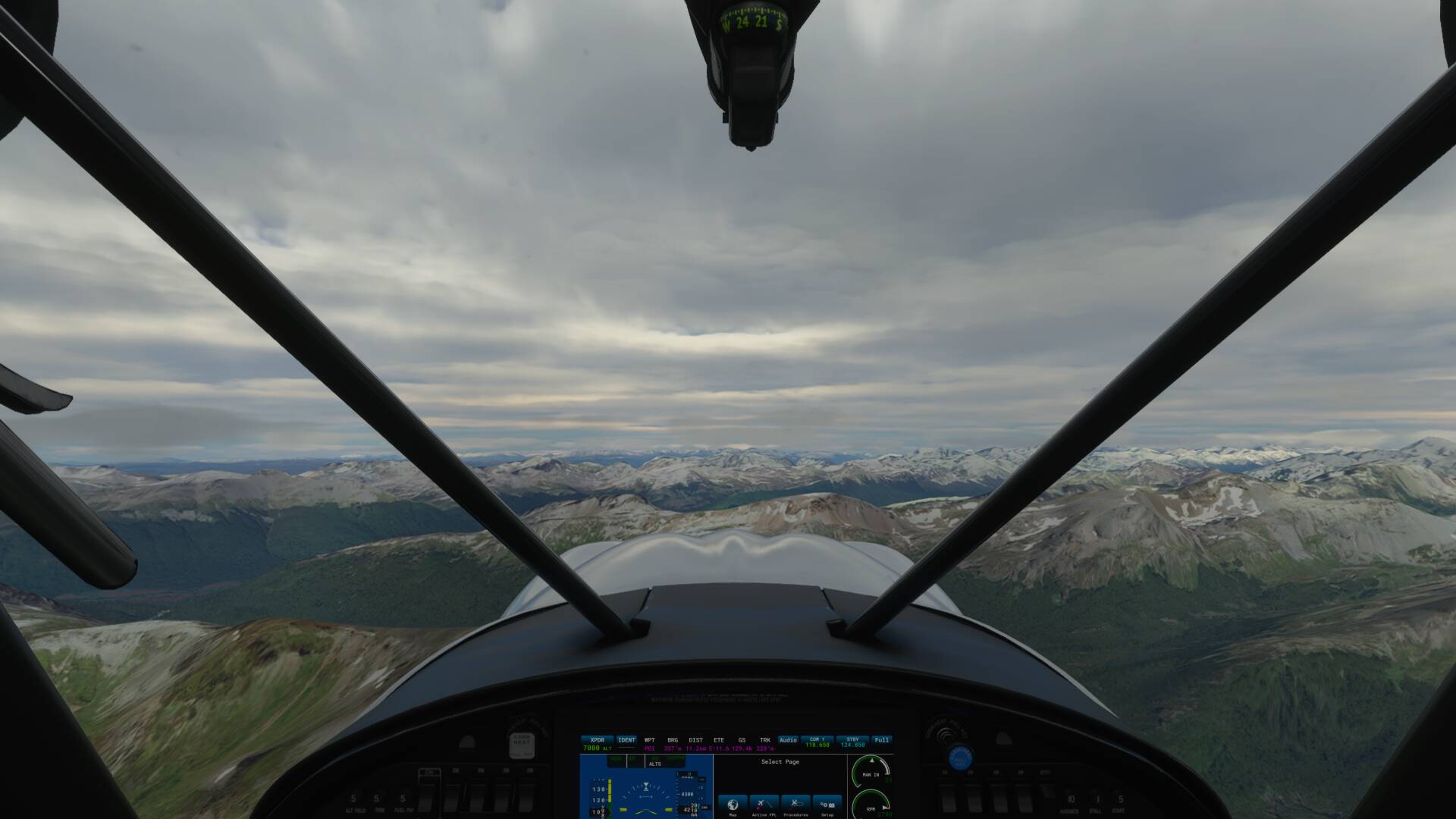
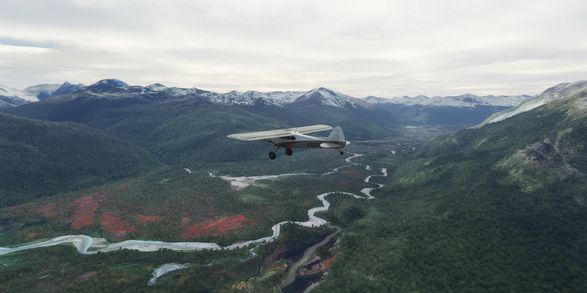
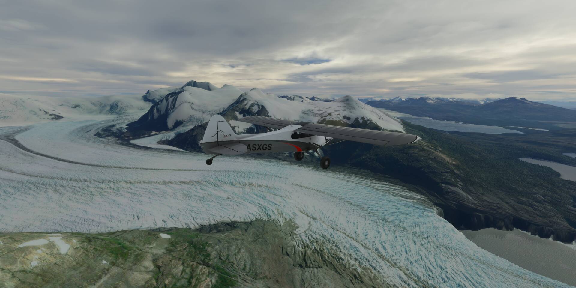
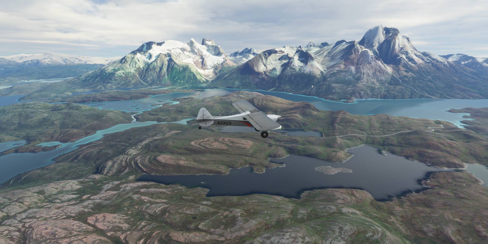

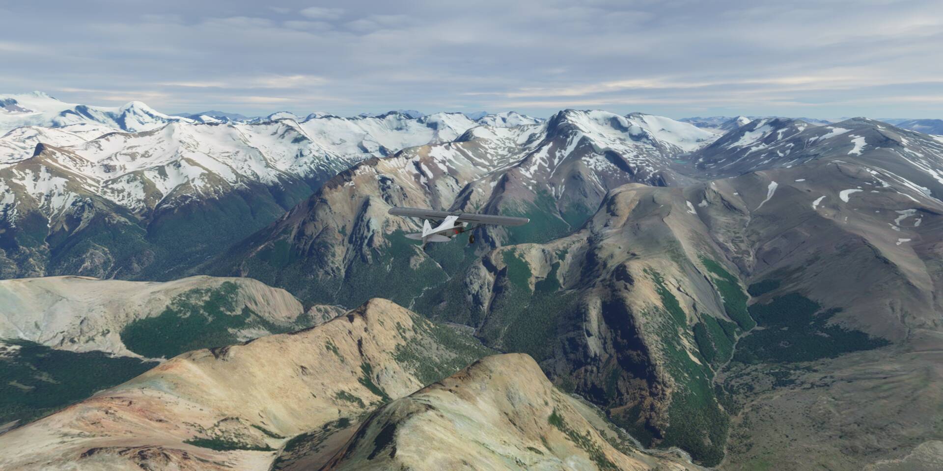
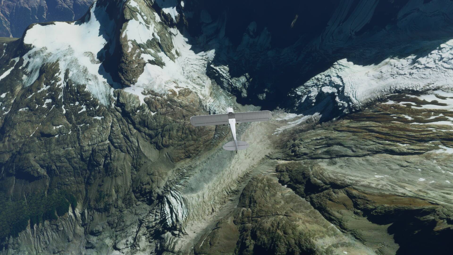
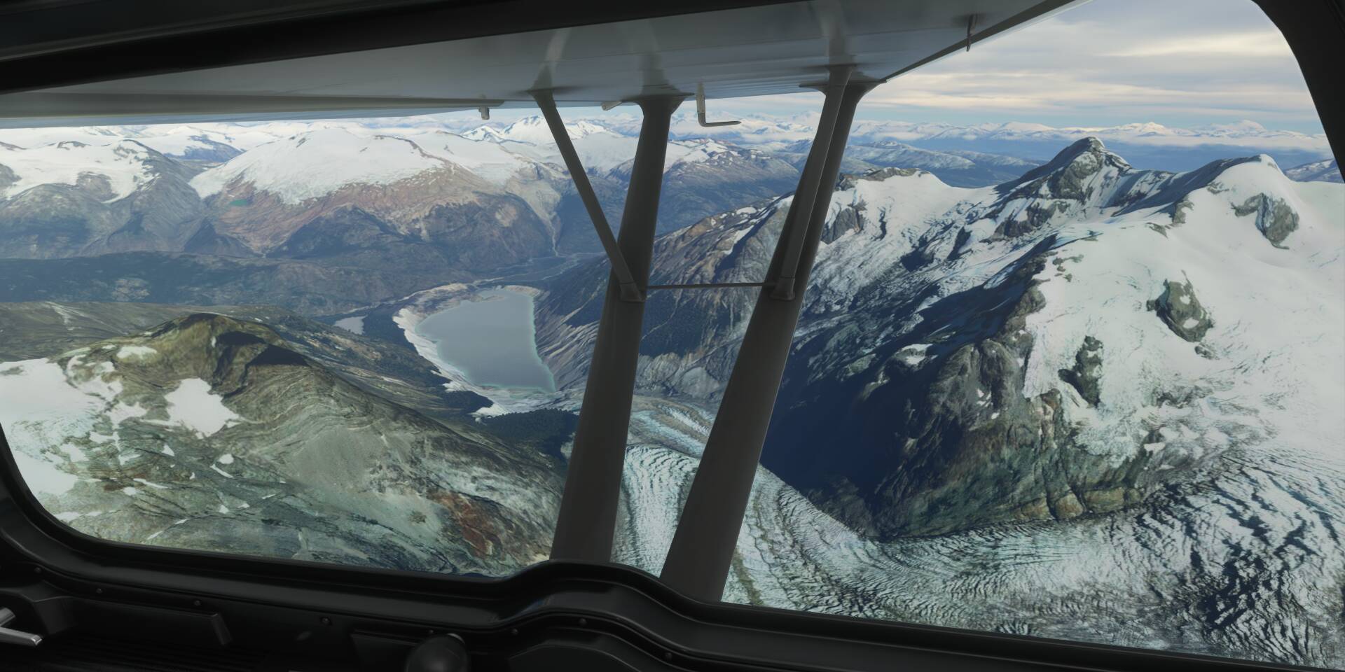
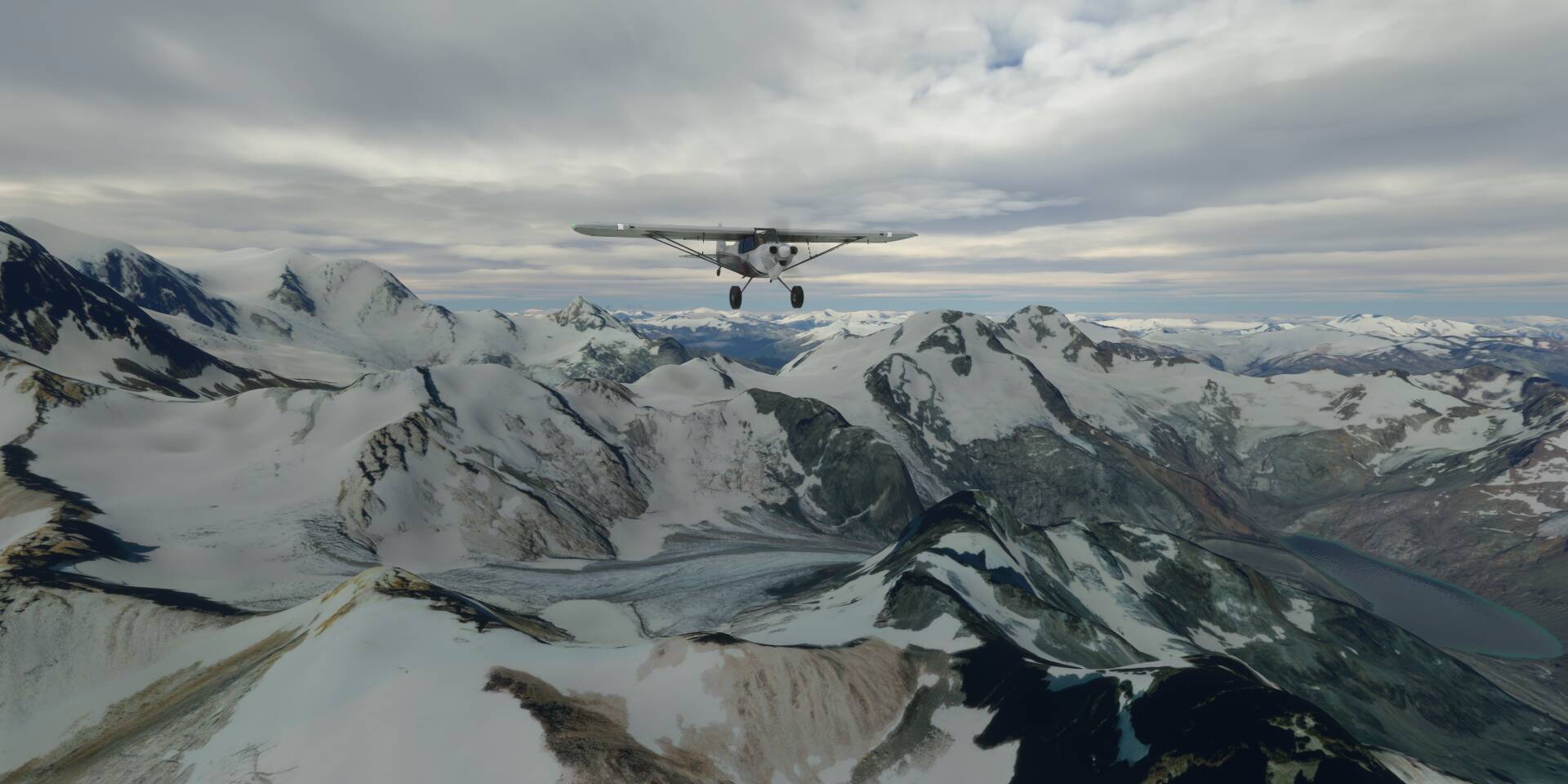
I’m sorta making my own ‘Pacific Northwest bush trip’ from Portland, Oregon to Yellowstone National Park, intended to be flyable within the limits of VFR flight on a sport pilot license. Short legs for convenience, could merge two or three short legs into a longer one easily enough. 
- Portland (small airport like 7S3 or medium one like KHIO) to The Dalles (KDLS)
- The Dalles (KDLS) to Pendleton (KPDT)
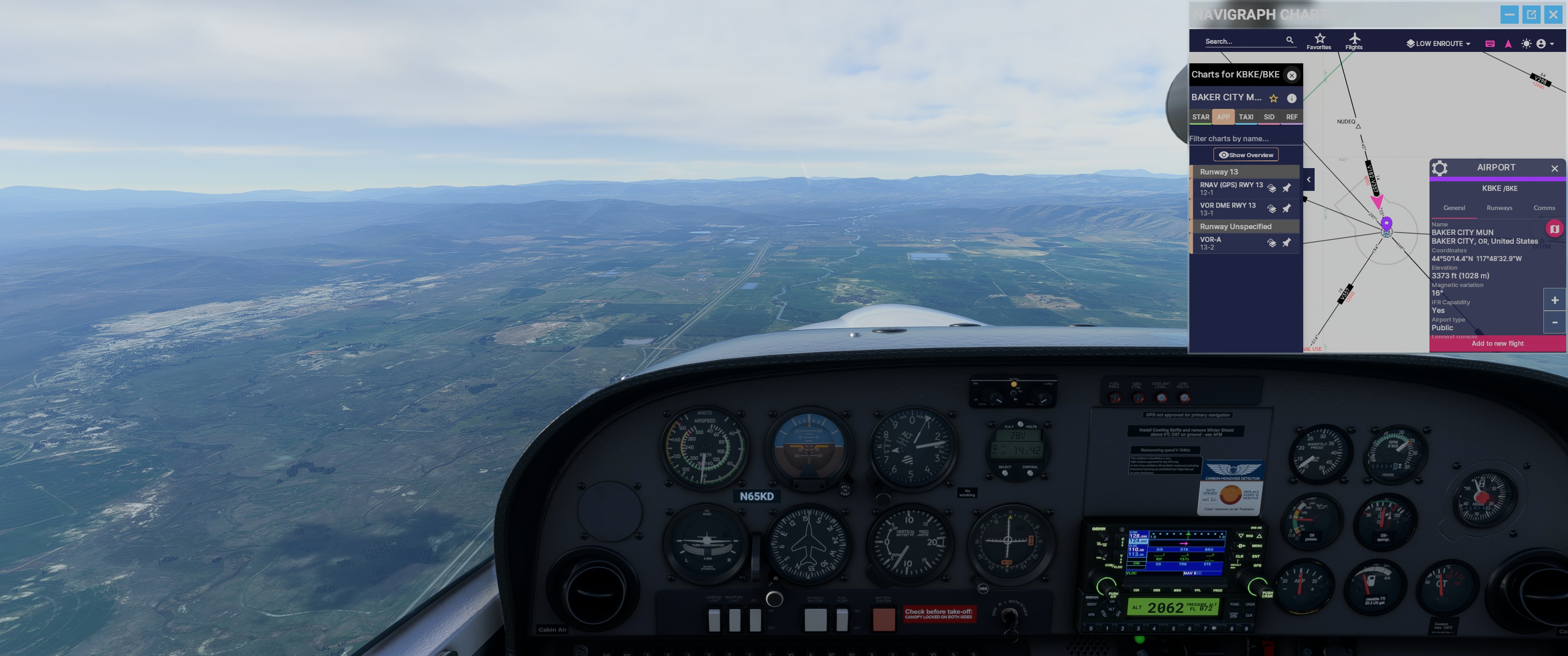
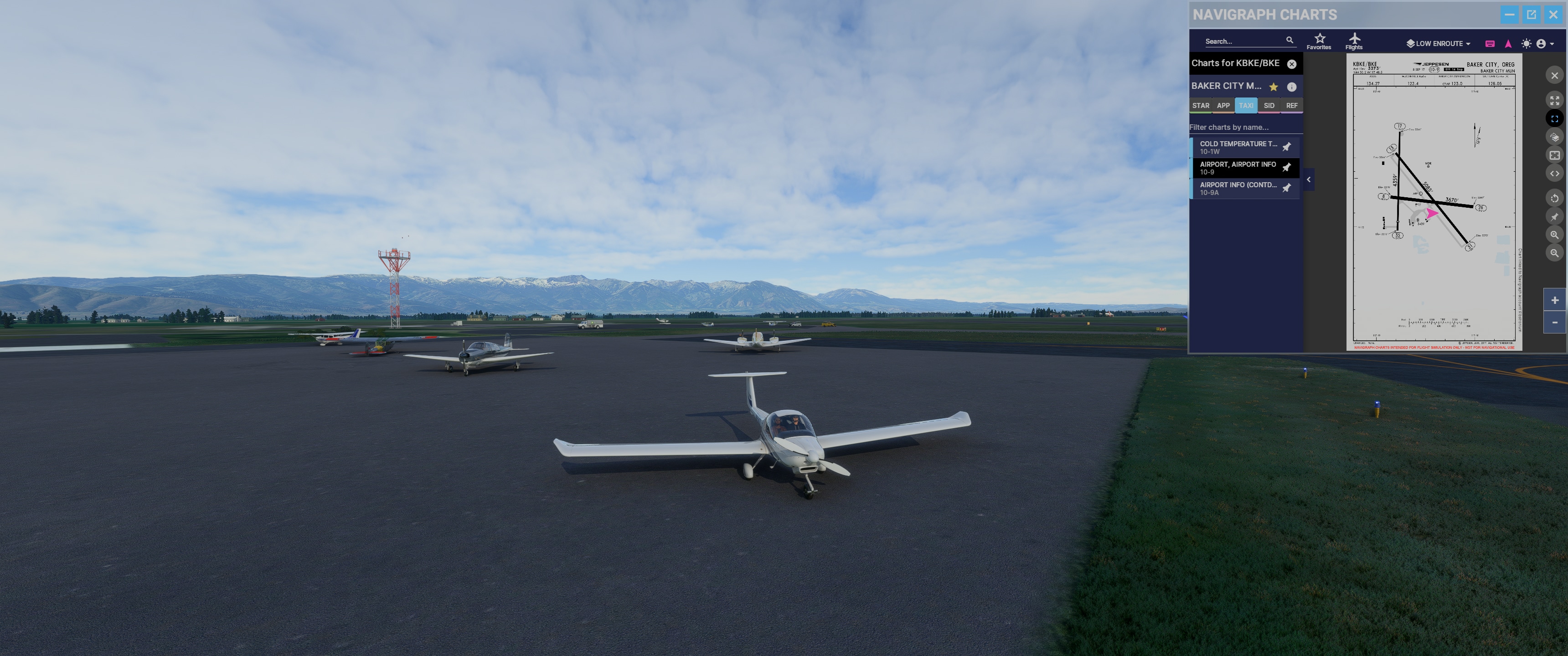
- (current leg) Pendleton (KPDT) to Baker City (KBKE)
- Baker City (KBKE) to Boise (KBOI), crossing the Idaho border
- Boise (KBOI) to Twin Falls (KTWF)
- Twin Falls (KTWF) to Pocatello (KPIH)
- Pocatello (KPIH) to Idaho Falls (KIDA)
- Idaho Falls (KIDA) to West Yellowstone (KWYS), crossing the Montana border
IRL you’d land at West Yellowstone, then rent a car to drive into the park in Wyoming and chill. 
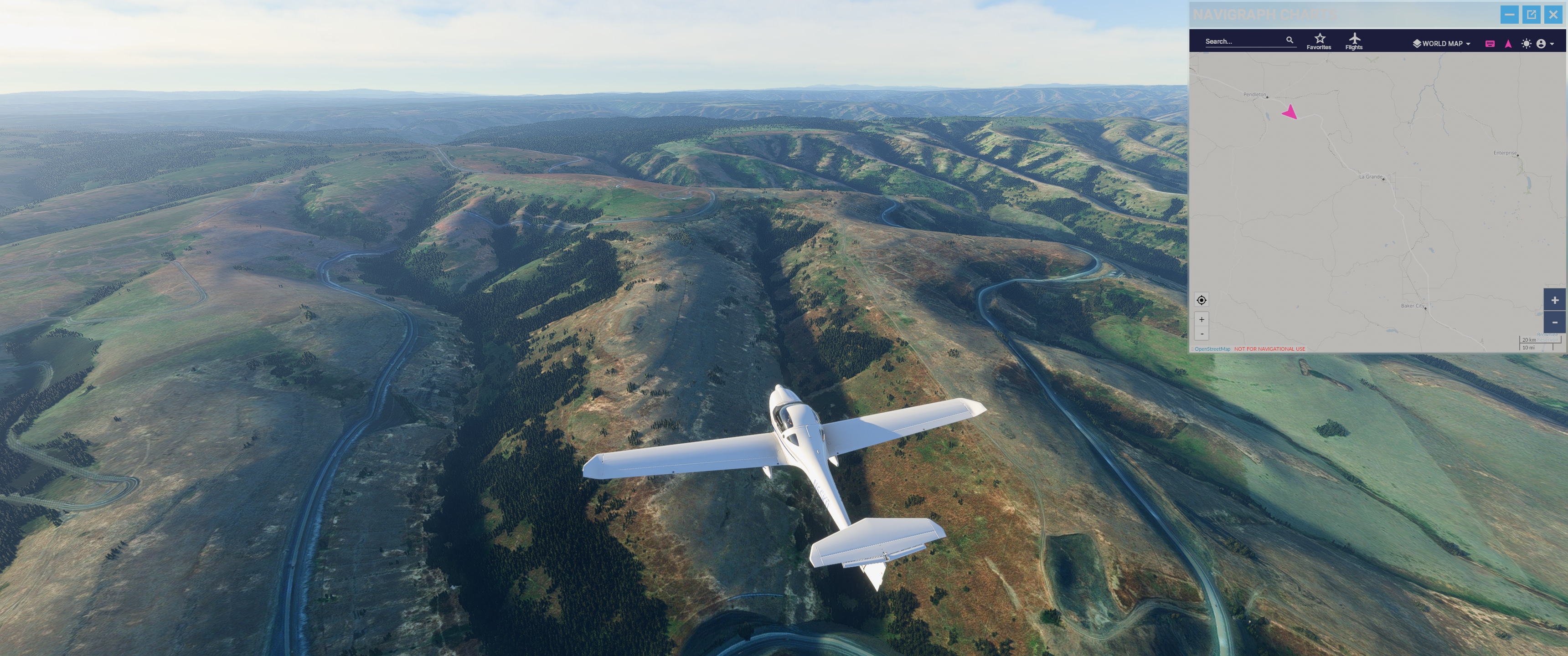
Should be about 6 hours flight time at 115 knots. Mostly follows I-84, or other highways closer to the end. Some mountainous areas, but can cross at sensible altitudes following the passes the highways take.
Couple shots following I-84 outside of Pendleton:
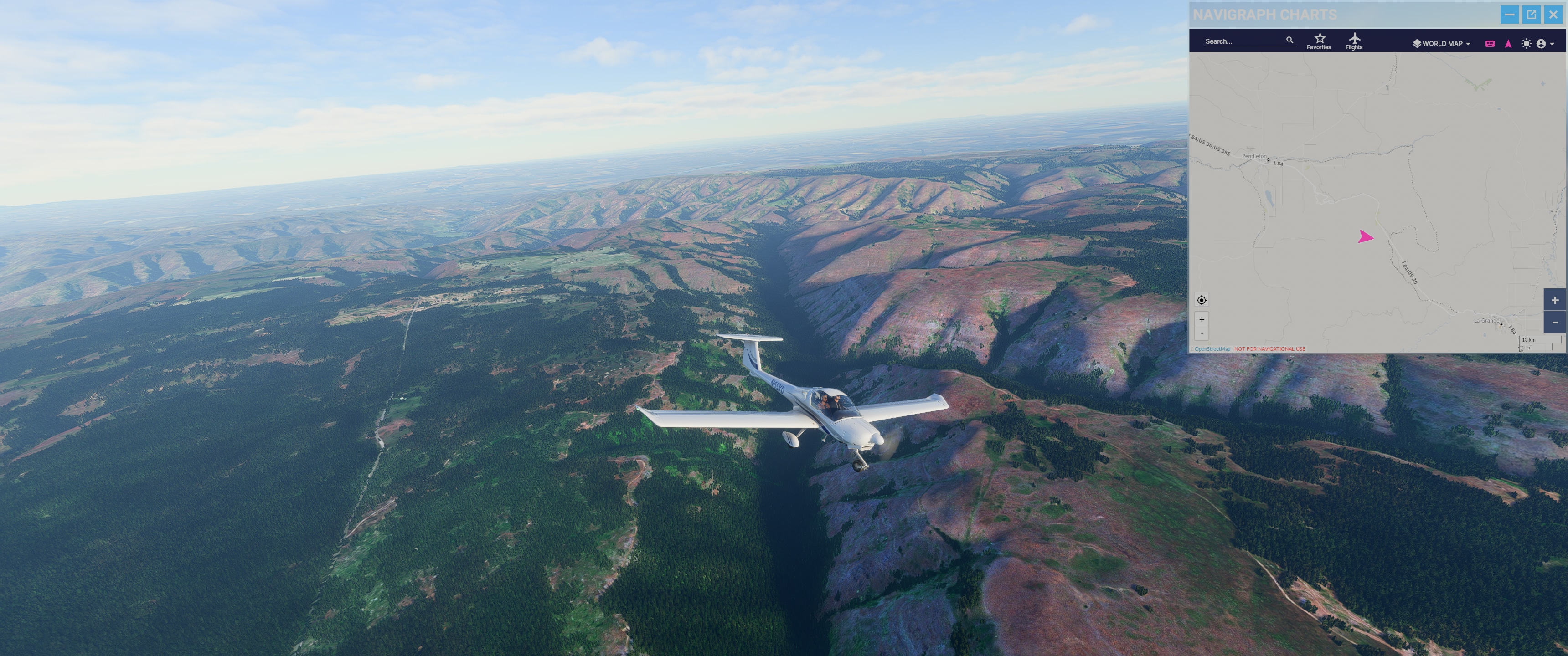
Coming into La Grande:
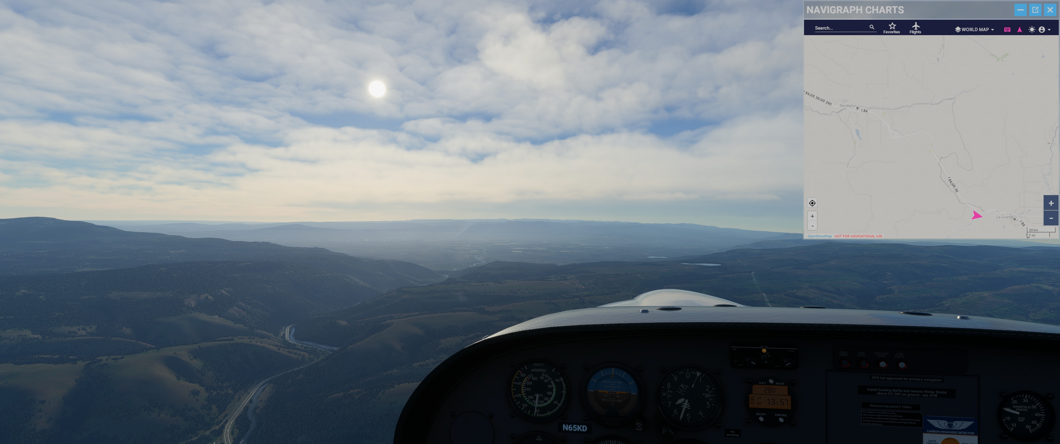
Gotta lose some altitude! Found Baker City:
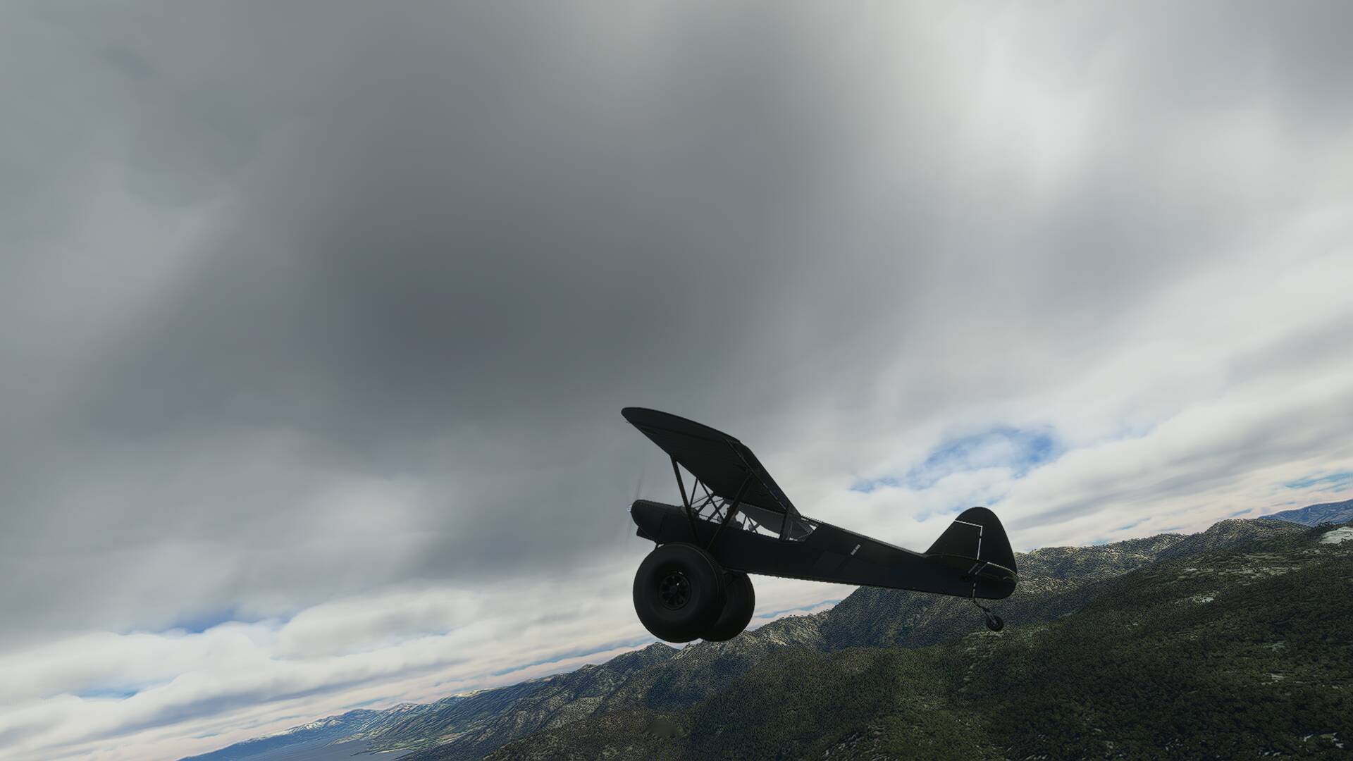
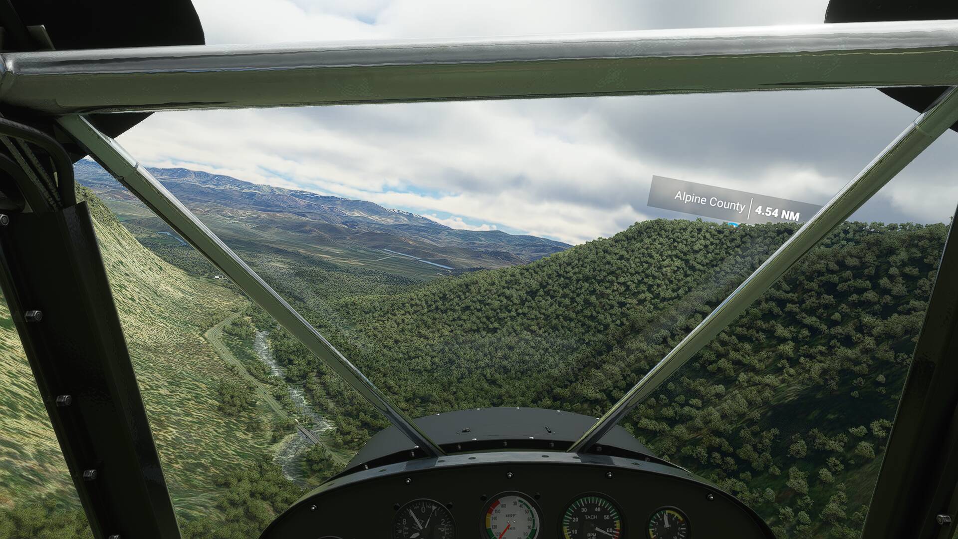
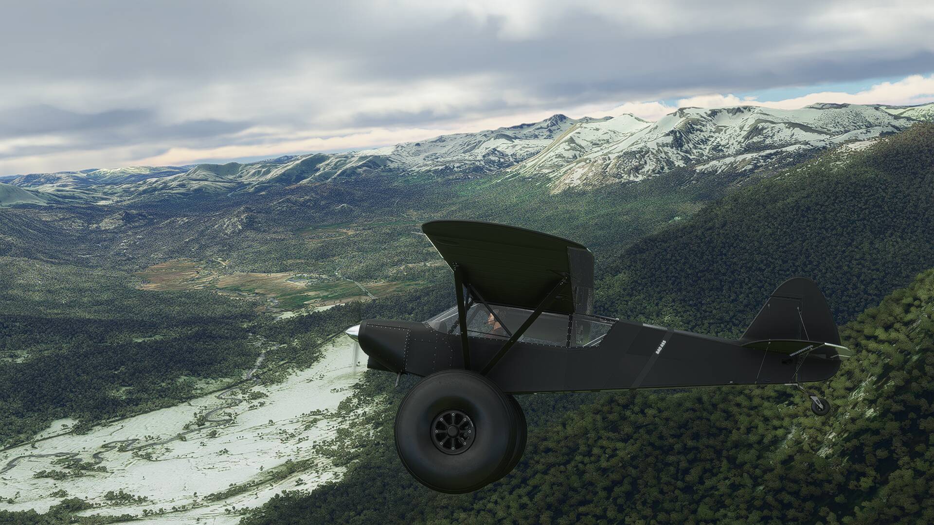
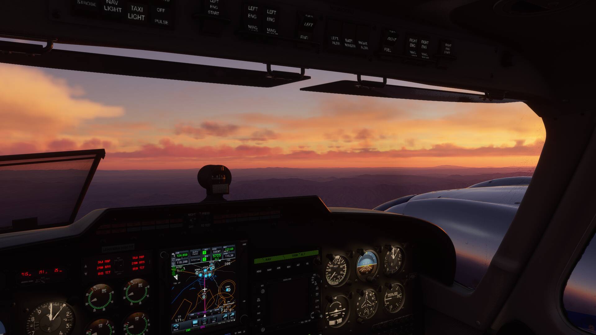
Yesterday. A little background. I’ve always flown from the external view. One reason has been I wanted to learn the effects my controls had on the airplane. The other it was difficult to see the panel readouts. That changed yesterday. Decided to try and fly from the cockpit. Had the 172 shipped to Guadalcanal. Took off from Henderson, circled over the mountains. Made a raggedy approach from seaward. Was watching the end of the runway getting close and realized I was down. Never felt the touchdown. 
You can land that thing on a 45 degree slope with grass and stones, quite easily 


I too am getting this. Glad its not just me. I just reinstalled the Latitude and though i messed everything up
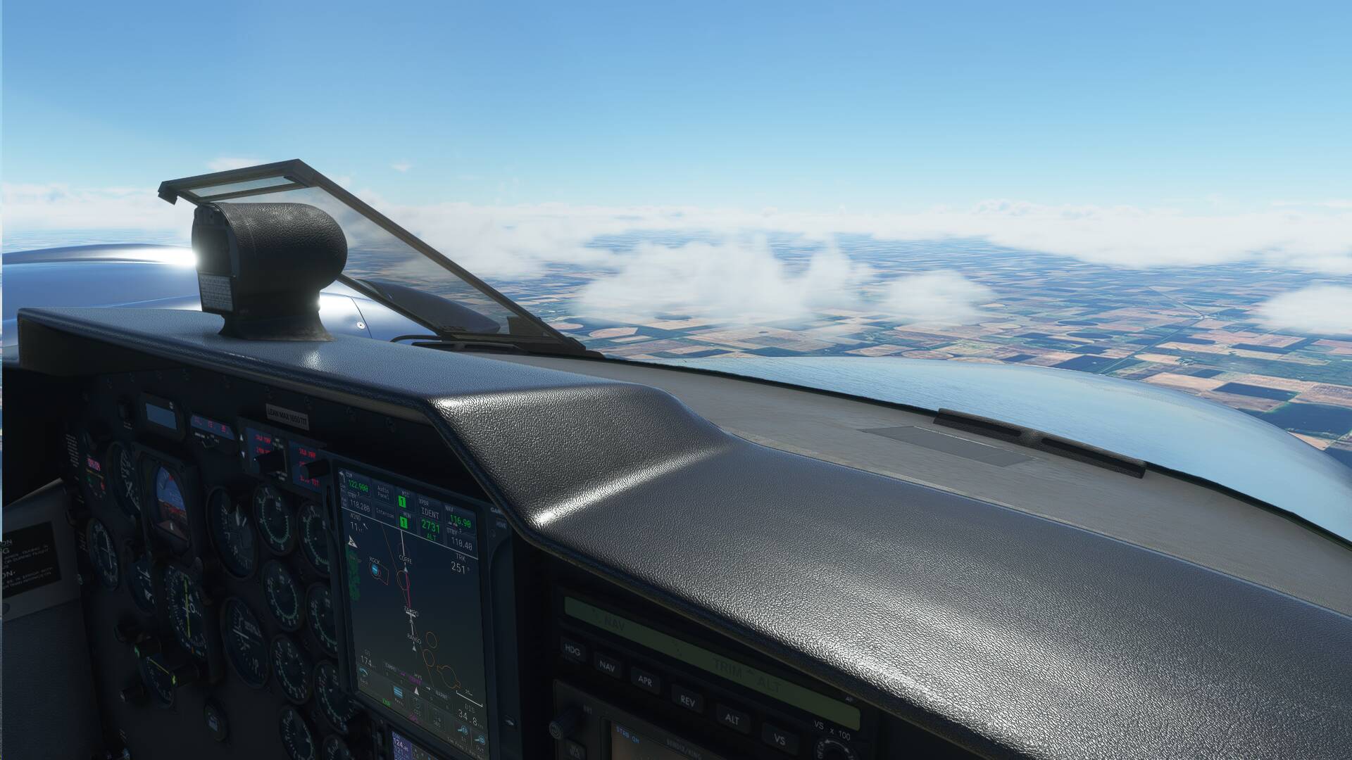
Did my 1st leg of my creative Bush trip Kingston Canada to Duluth Minnesota in the Cessna 152 good news is I didn’t hit any mountains this time
Flew around Lake Ontario and leg 1 was Kingston Canada to Oswego Fulton NY
My up coming Leg 2 (flown on Friday) is Oswego Fulton to Ledgdale Airpark
My full plan is to fly all the way around the Great Lakes in a Cessna 152 so I’m repeating the trip but on the Canadian side on the return flight
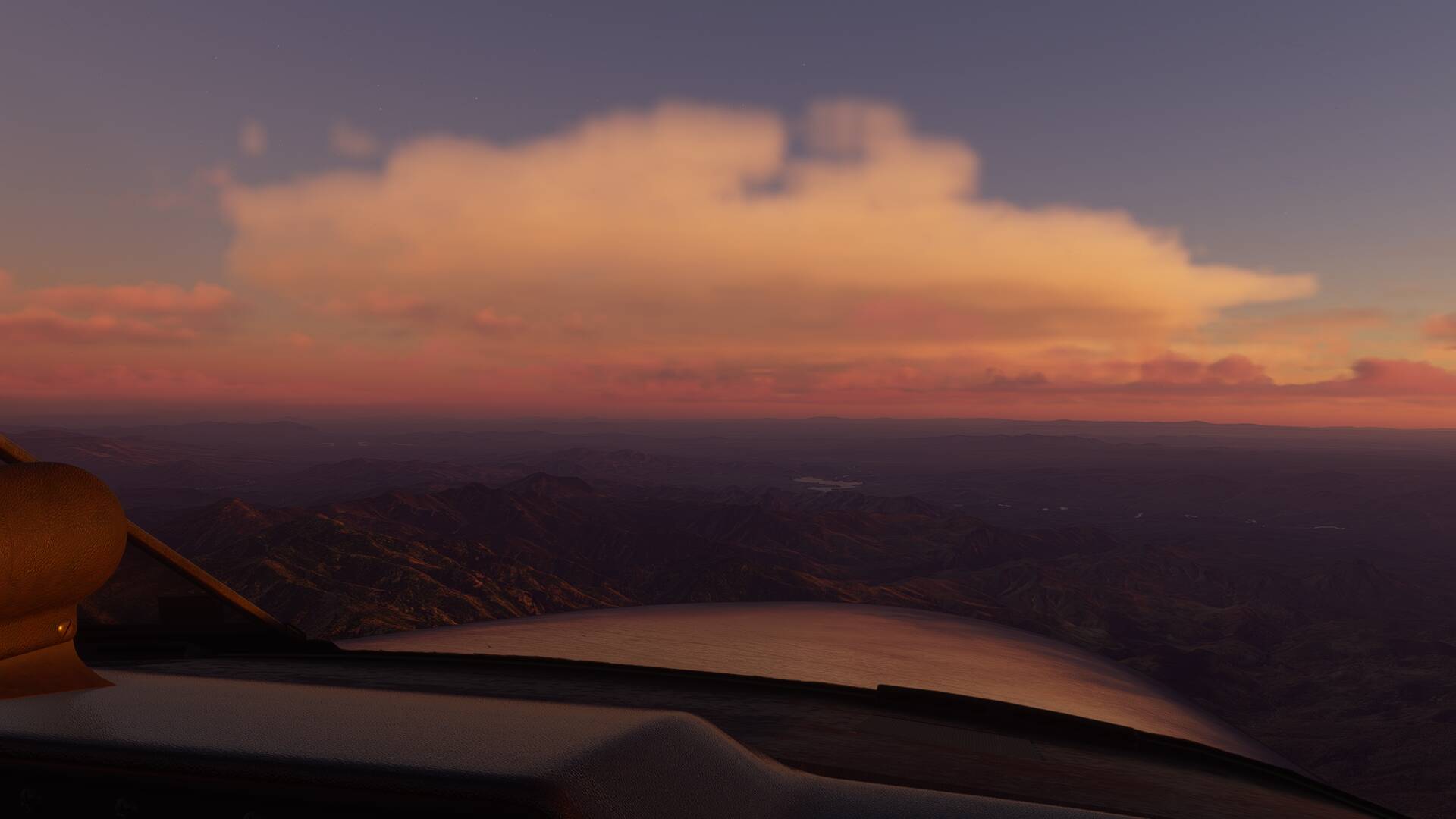
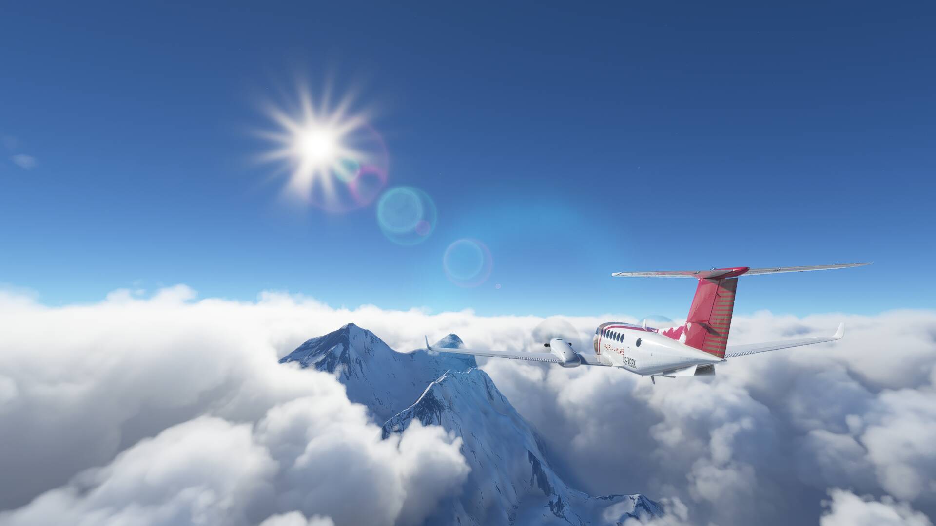
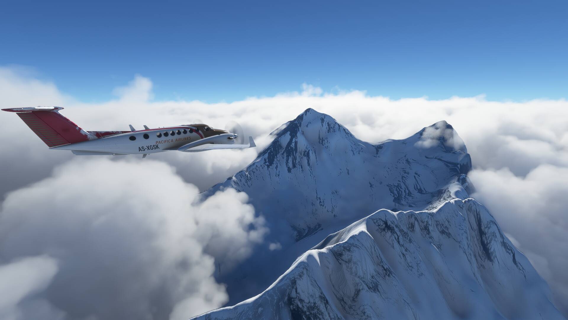
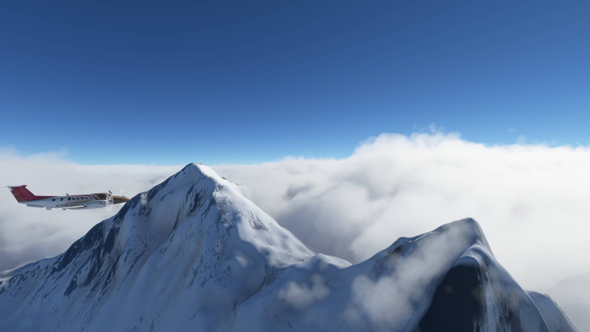
Made it to Paro a week ago in the 320. Worst landing ever. One wheel at a time. Those last minute course corrections really task me in the bigger planes. Left Paro for Lukla in the King Air today but it was quite apparent early that I would need an alternate so headed that way but had no chance. Maybe tomorrow. Went above the clouds looking for Everest and headed for Kathmandu.


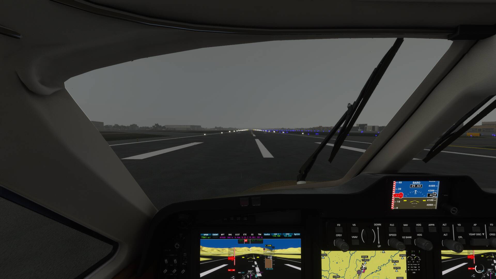
I fly FBW A32nx from RJAA to RJBB.
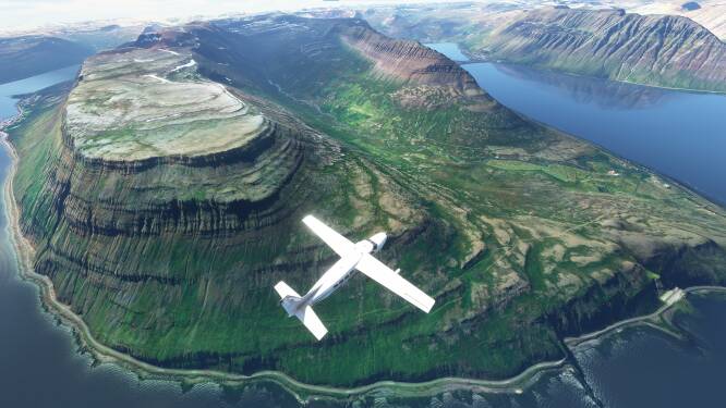
Continuing covering all cities in the USA that have photogrammetry, I research the cities prior to flying over them and often stumble upon fun/silly stuff.
I’ve stumbled upon the world’s largest paper cup in Riverside California, represented in the game, and recently I flew over The World’s Largest Fire Hydrant, located in Columbia South Carolina lol

I’m directly above it at the 8:26 mark
 Hi, I finally decided to share my helipads scenaries from Reunion Island

I’ve been woking on it since the begining of January.
 Have a try! https://fr.flightsim.to/profile/Guillaume_974
Mafate
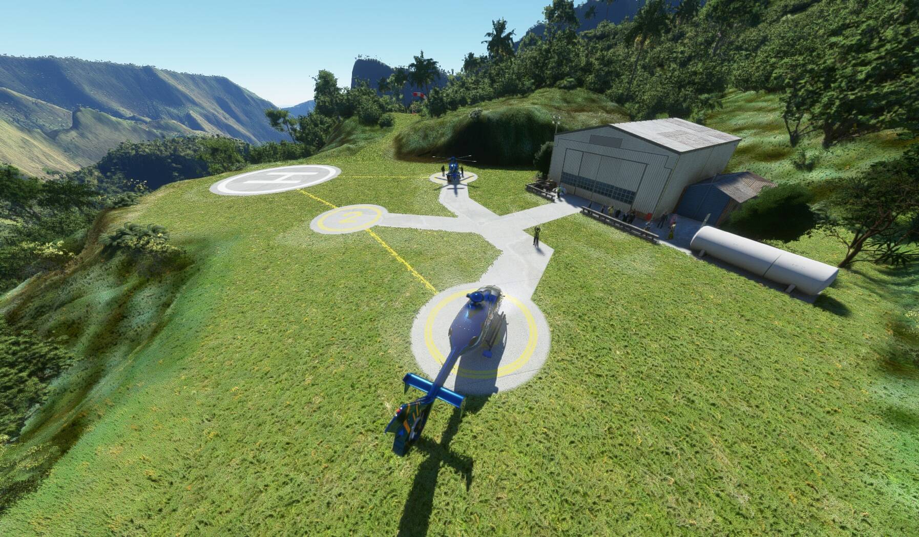
Piton de la Fournaise
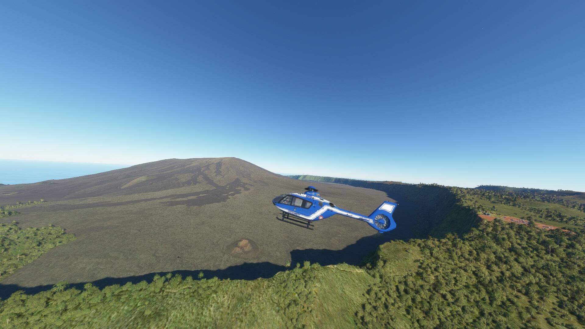
Base ULM de Cambaie

Helistation de l’Ermitage
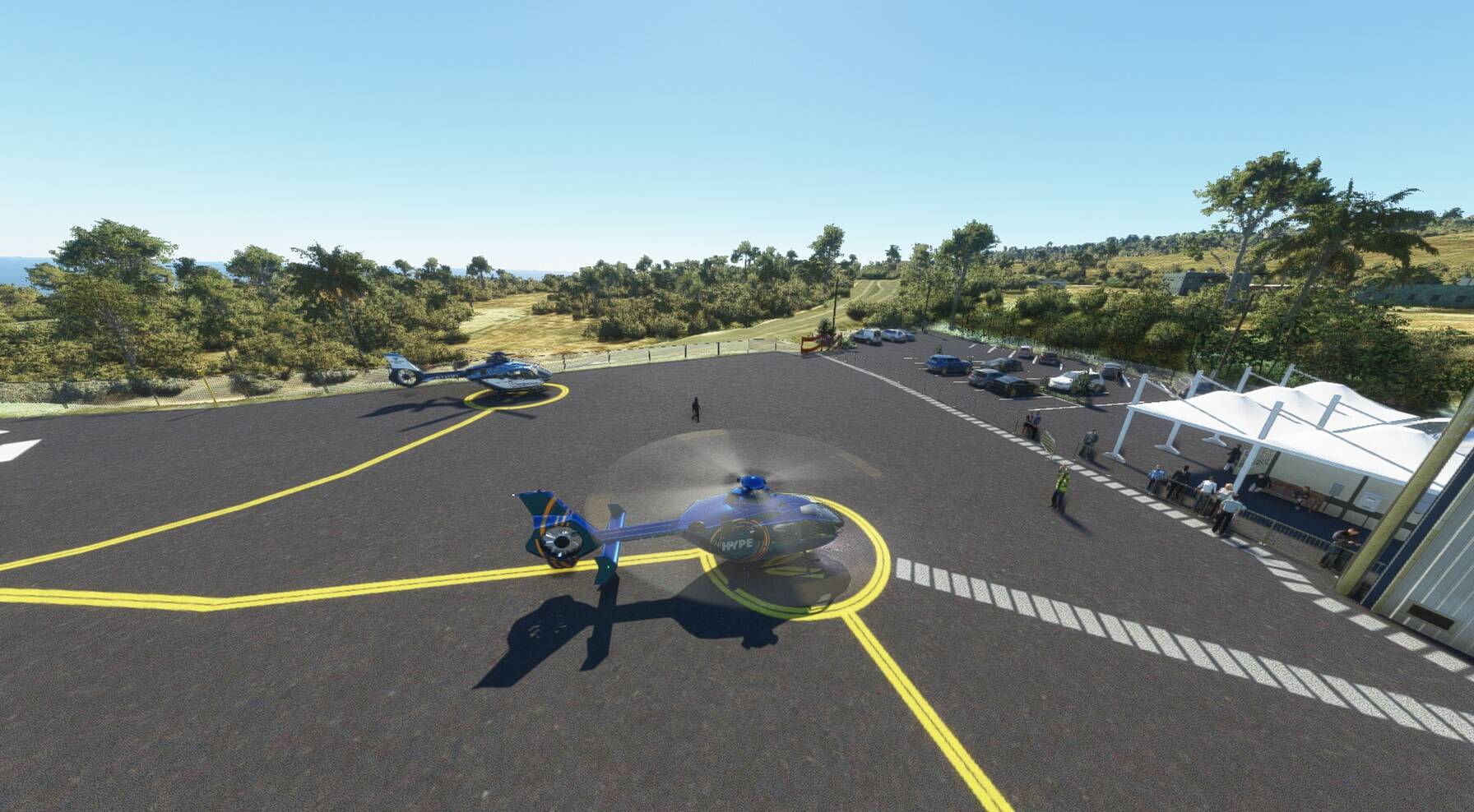
Helistation de l’Eperon

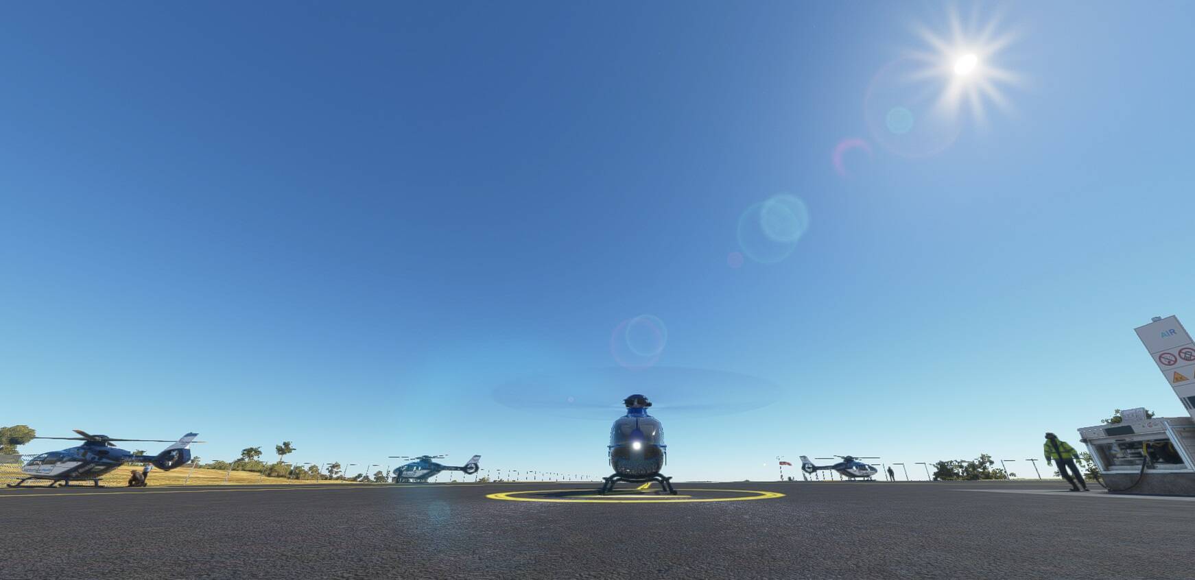
Livraison de marchandise au Col-des-Boeufs
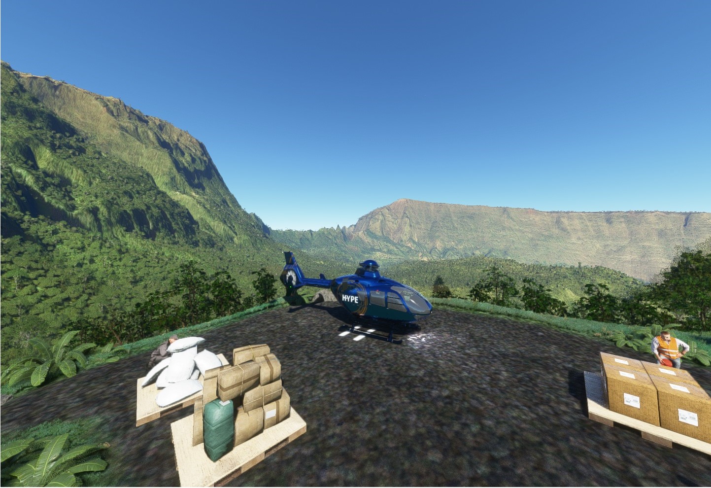
Observatoire Volcanologique du Piton de la Fournaise

CHU de Cilaos

And some more…
Bienvenue à l’Île de la Réunion 
Completed my last outstanding achievement (Wing Commander) whilst enroute from ESSA to LSZB in my trusty TBM. 1000 flight hours in roughly a year. Had a lot of fun along the way and flew over a ton of places that made me think “I wonder what it’s like to live there?”. Thank you Microsobo, for bringing the world, in all its glory, to my desktop