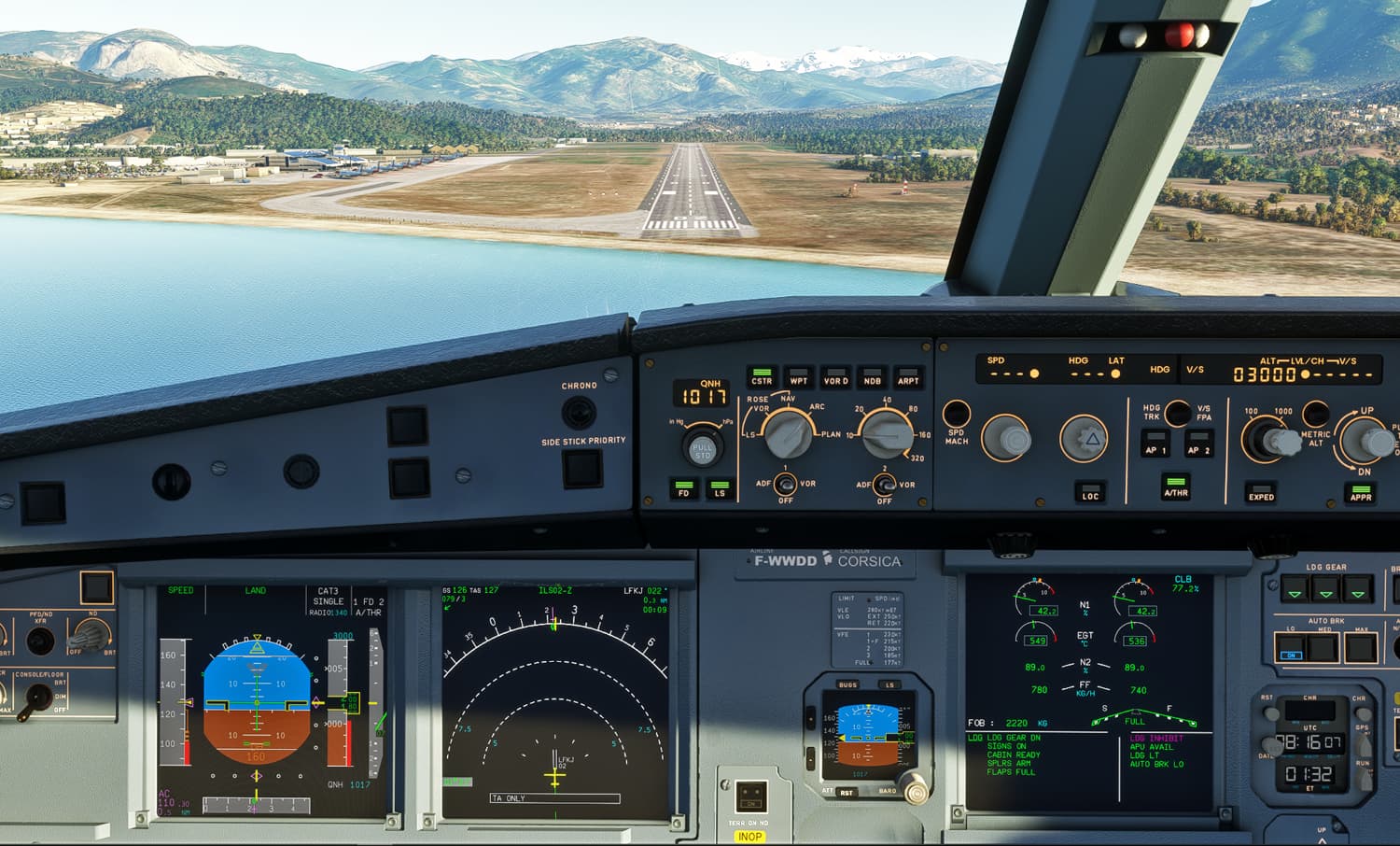
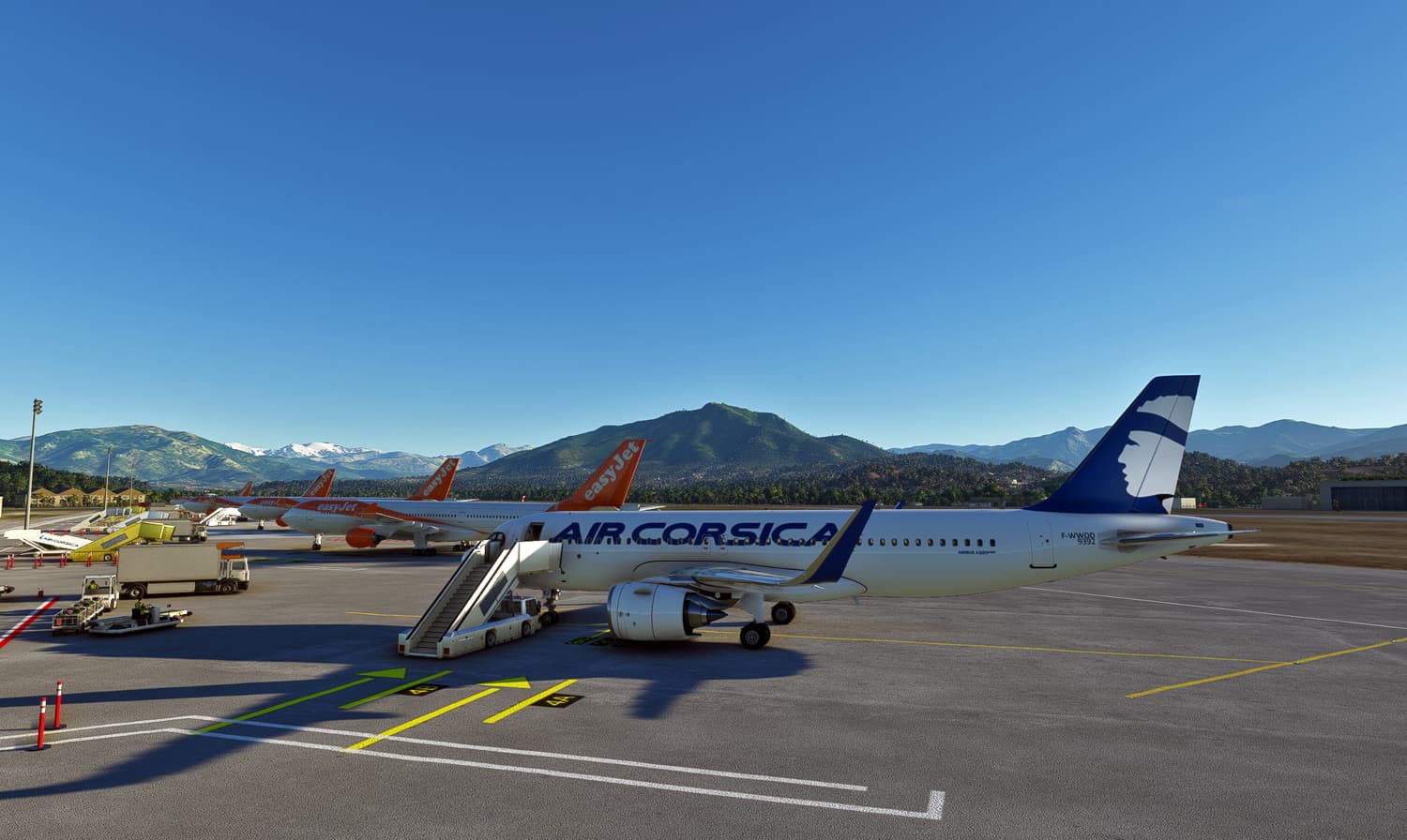
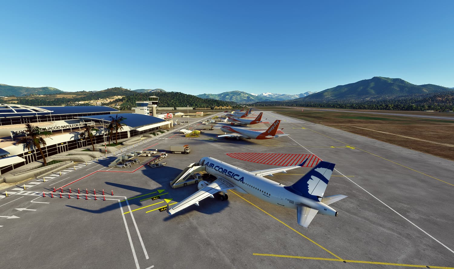
Early morning departure from LFPG in the Air Corsica A320NX en route for Ajaccio (LFKJ). Clear skies on arrival.
3 Likes


This morning, I had a somewhat crazy flight from Mumbai, India, to Dubai, UAE, in the Bredok3D 737 MAX. Everything was going well until I was near the STAR part of the flight. Then, the arrival/approach was essentially a hot mess, so I had to land manually, which was half a chore itself (I forgot to turn off the autothrottle, so I spent way more time than needed over the runway, then treated the 737 like a kangaroo lol). To top it off, while I was streaming my flight, I had a rather unpleasant person spout off about my choice in flying the B737 from Bredok3D, and how dare I fly over between Mumbai and Dubai in a KLM liveried plane. Great middle of the week stuff right there!

Pretty uneventful until the electrical system died - had enough altitude to circle around and try and diagnose the issue - which I couldnt figure out - The engine controls werent responding, flaps too. I was able to get the gear down, but that wasnt much of a help since I needed to find a place to land. In my infinate wisdom, I picked to fly in the remote areas of Argentina and the nearest airport was still 100 miles away…so I had to fly a bit further on. Then I had to land. hot, VERY HOT. I did an engine shutdown on final because for some reason I couldnt get the props to feather or pitch to change. Ended up landing safe and sound somehow - but it made for an interesting 45 minute flight. And I loved every second of it!
5 Likes
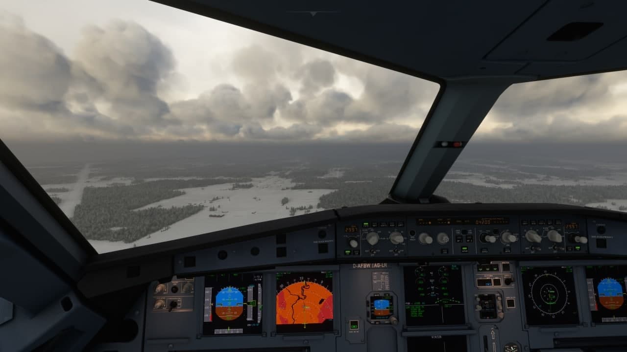
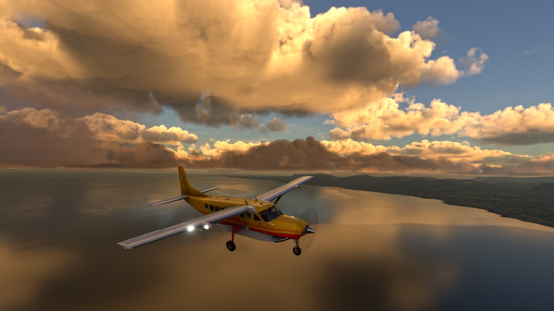
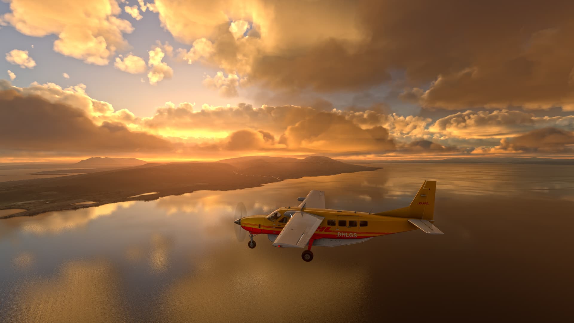
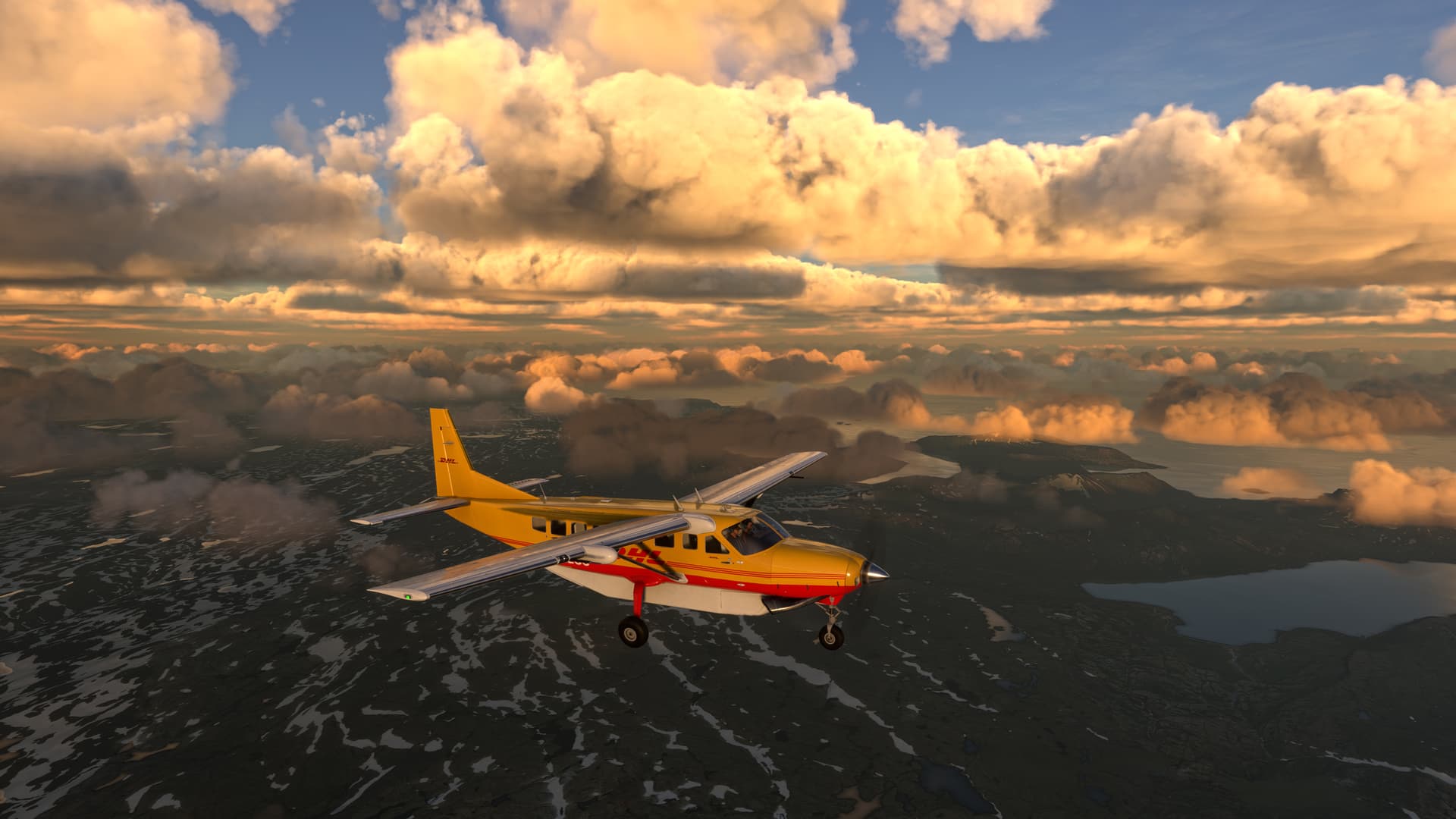
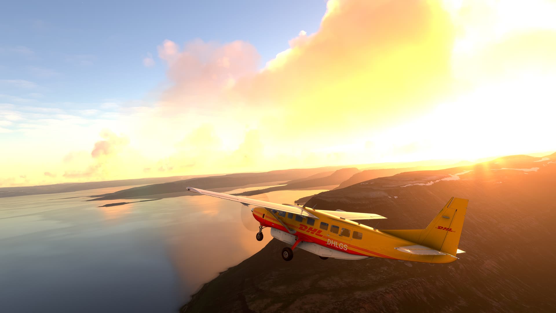
Try to sus why the Cessna AP Altitude is 800 feet low.
Flew a little bit around the North East. Also curious as to why my fps went up by 5 yesterday before patch Tuesday:

3 Likes
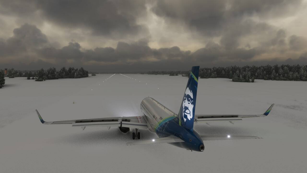
Took a short flight from LTBJ to LTFM with A330-900 Headwind. Amazing views was there as always and during the landing snow showers followed by a low visibility.

I enjoy every moment of this sim ![]()
1 Like
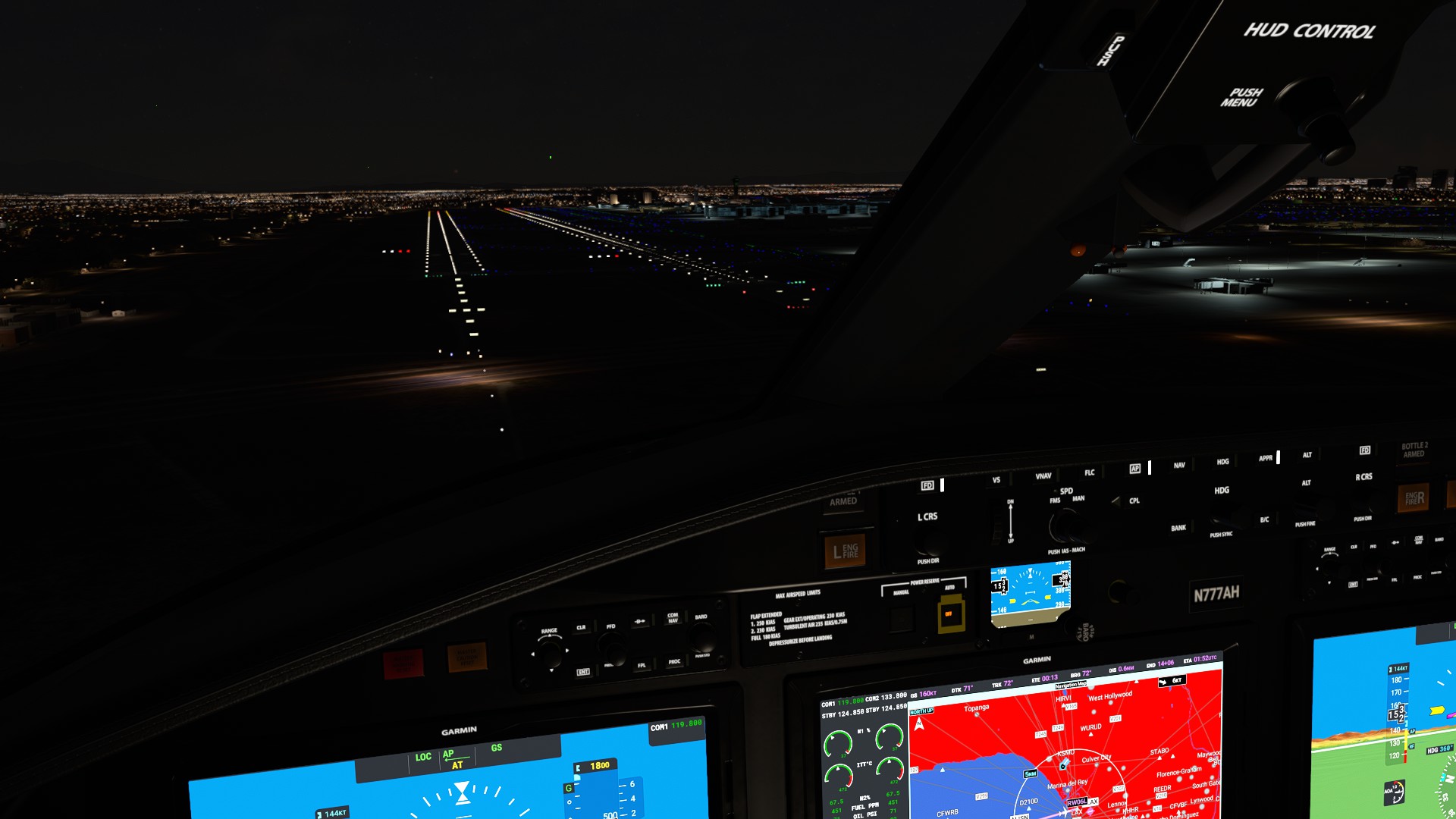
KSFO to CYXS on the a320
first time i saw clouds above me at 38000 feet, couldn’t manage to properly do the rnav approach so had to land visual rwy 33 (always sweating when i have to). All in all magnificent flight

3 Likes
A post was merged into an existing topic: Discussion + Poll: Sim Update VII (January Build 1.21.18.0)
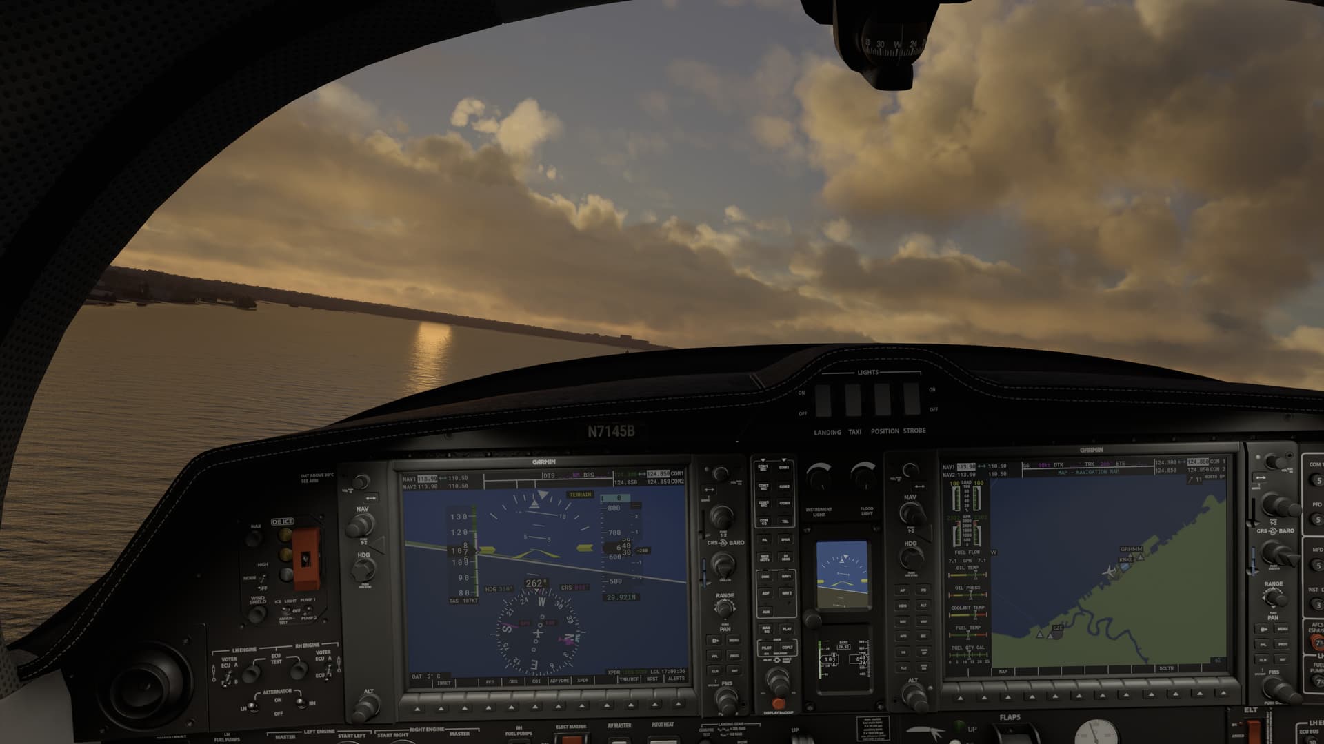
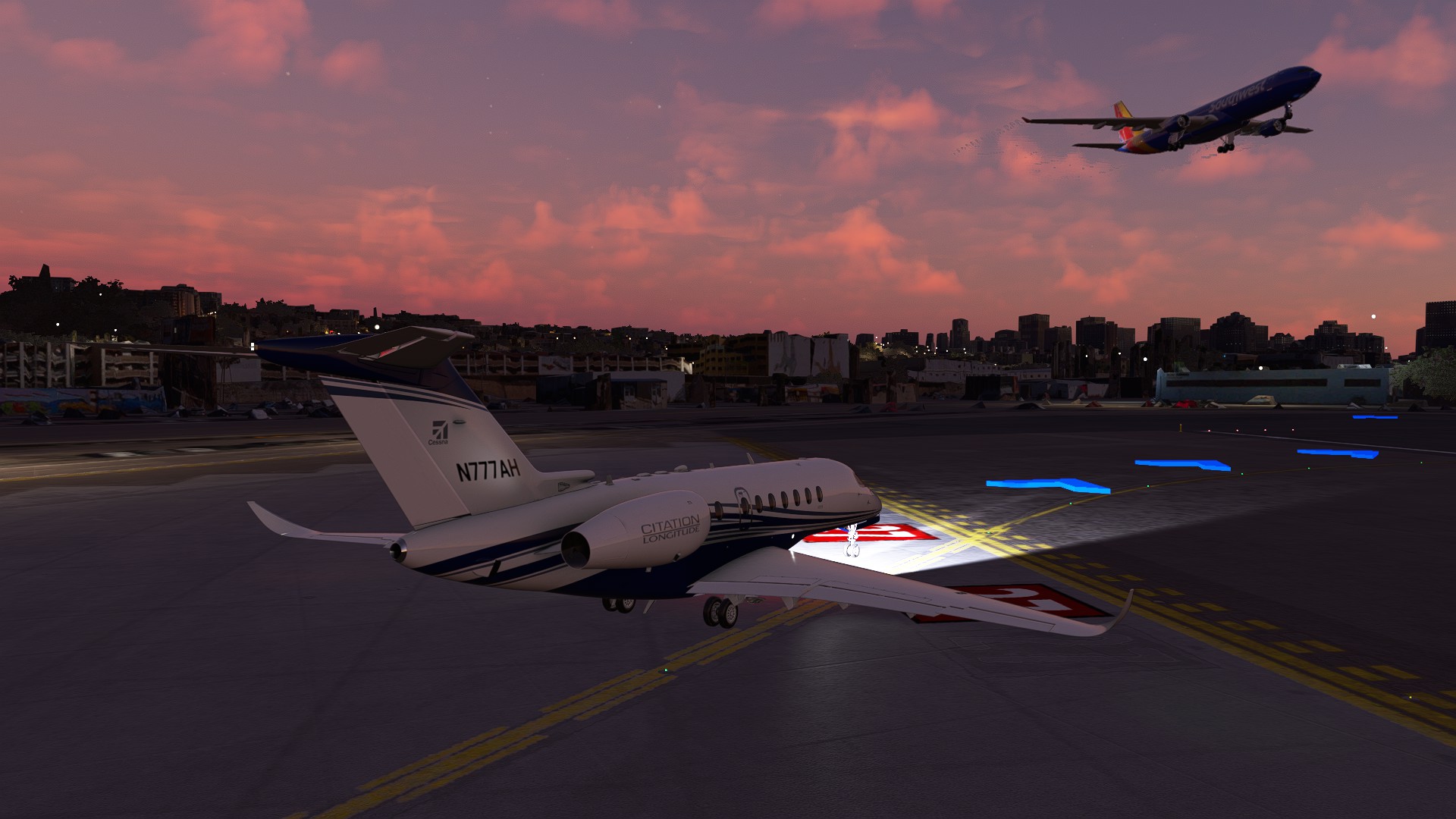
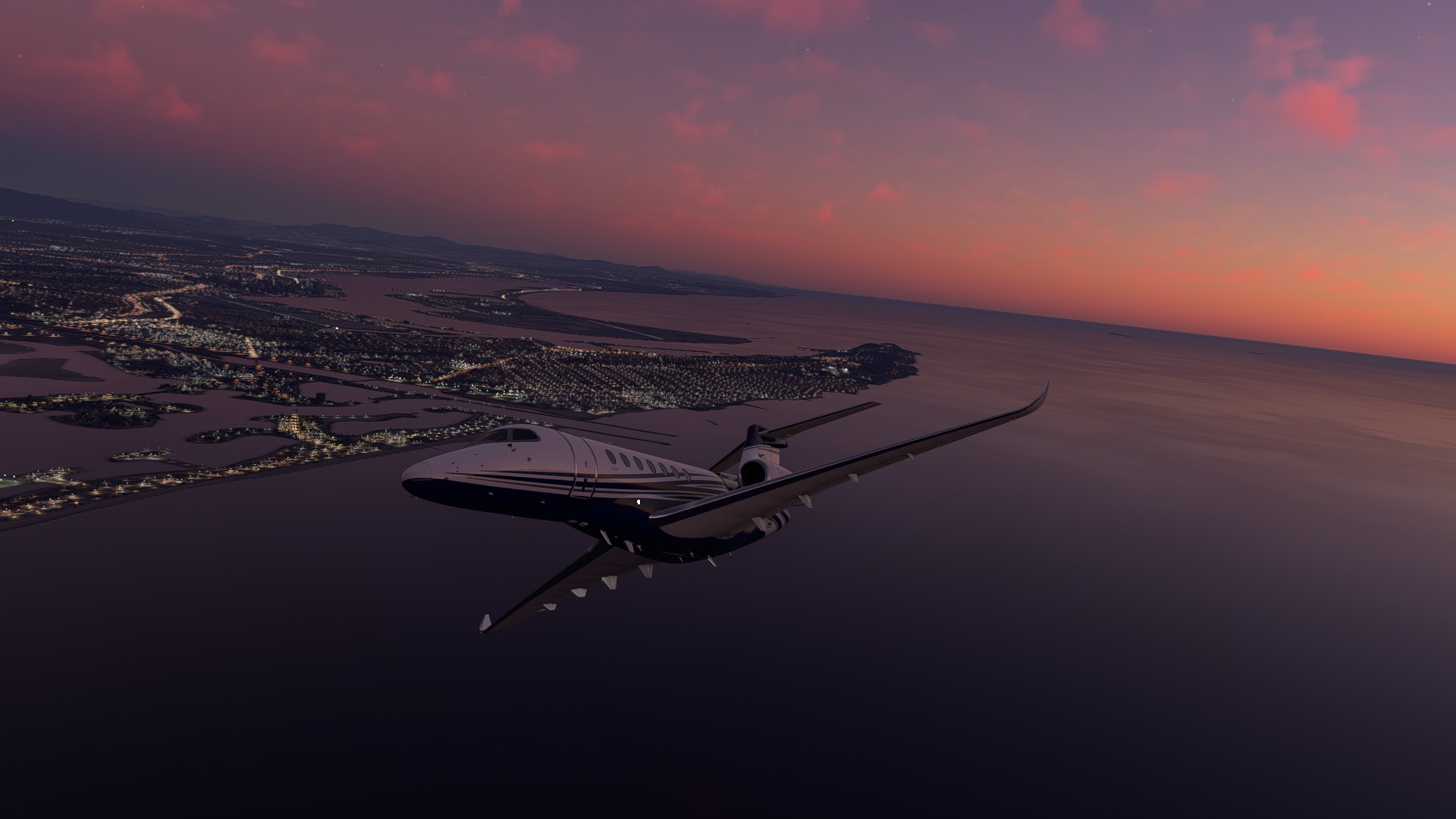
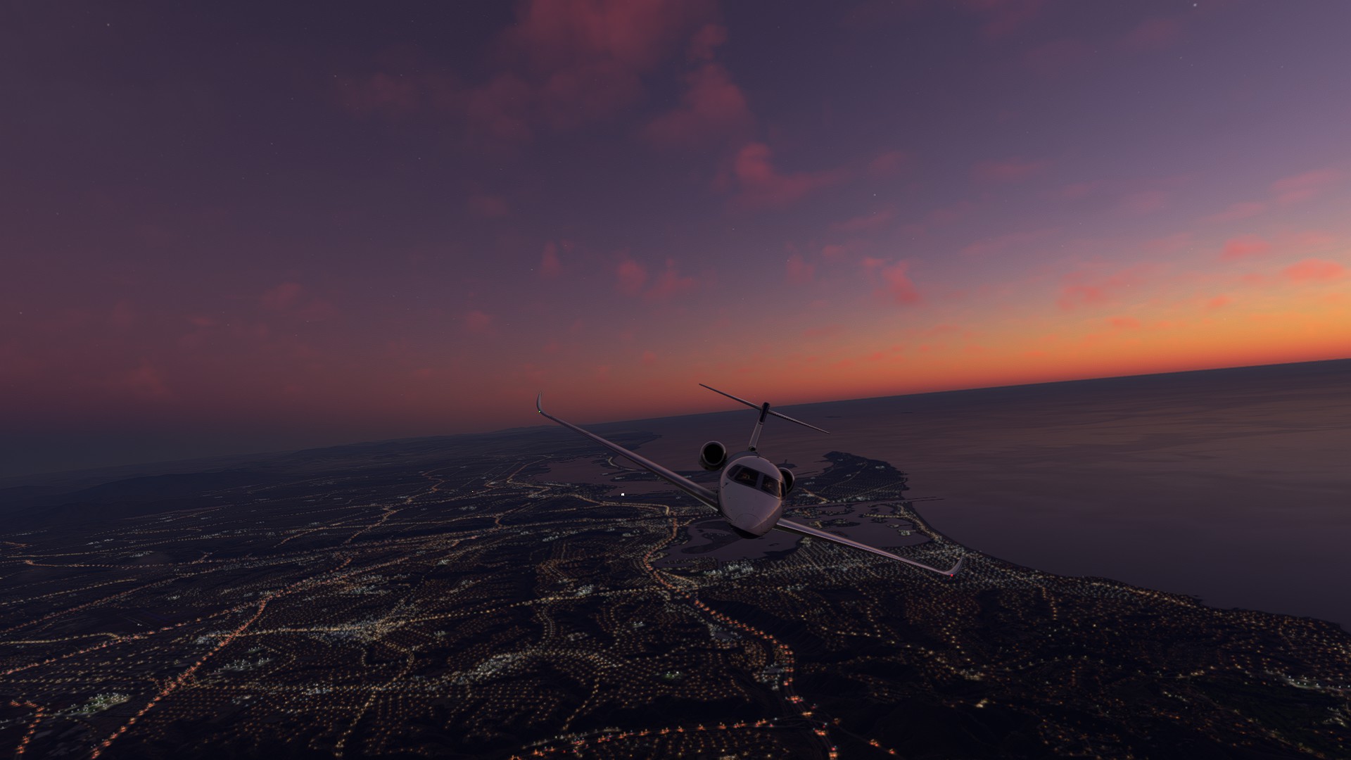
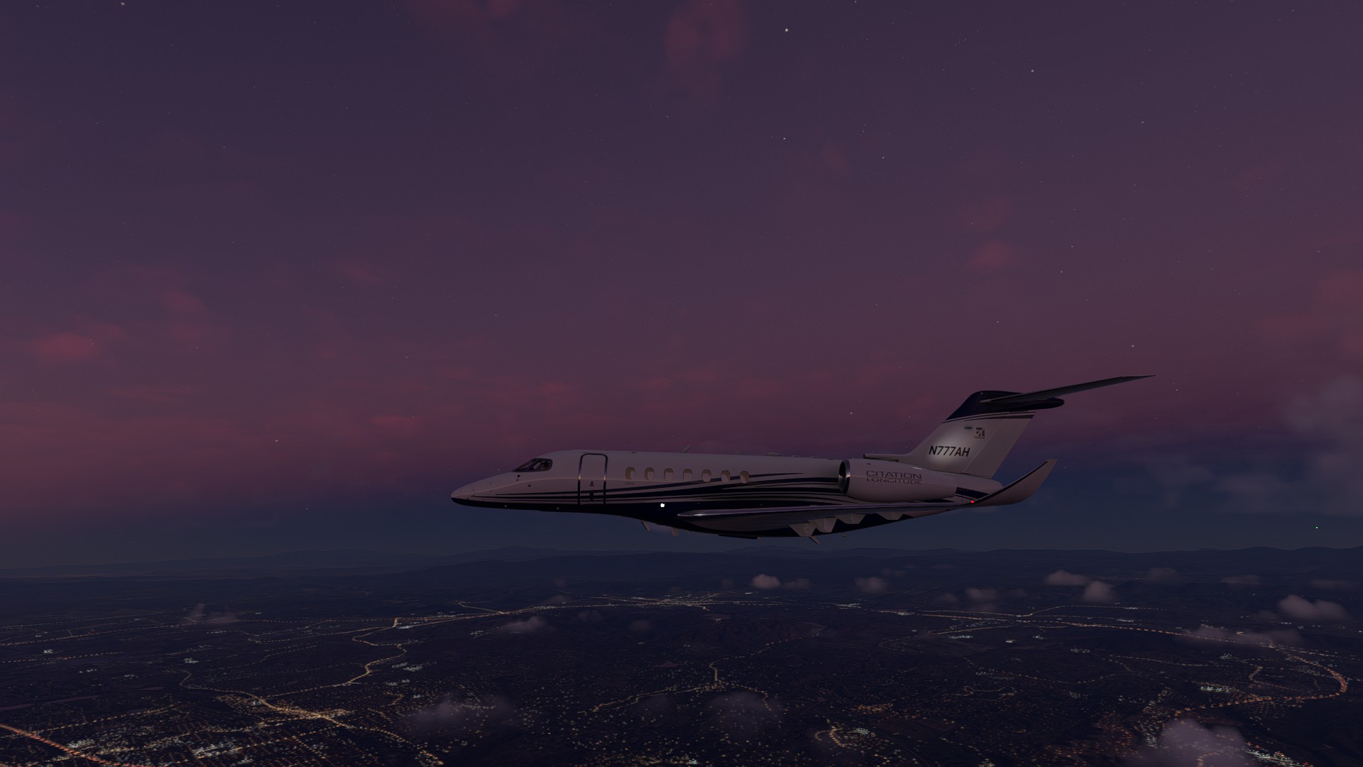
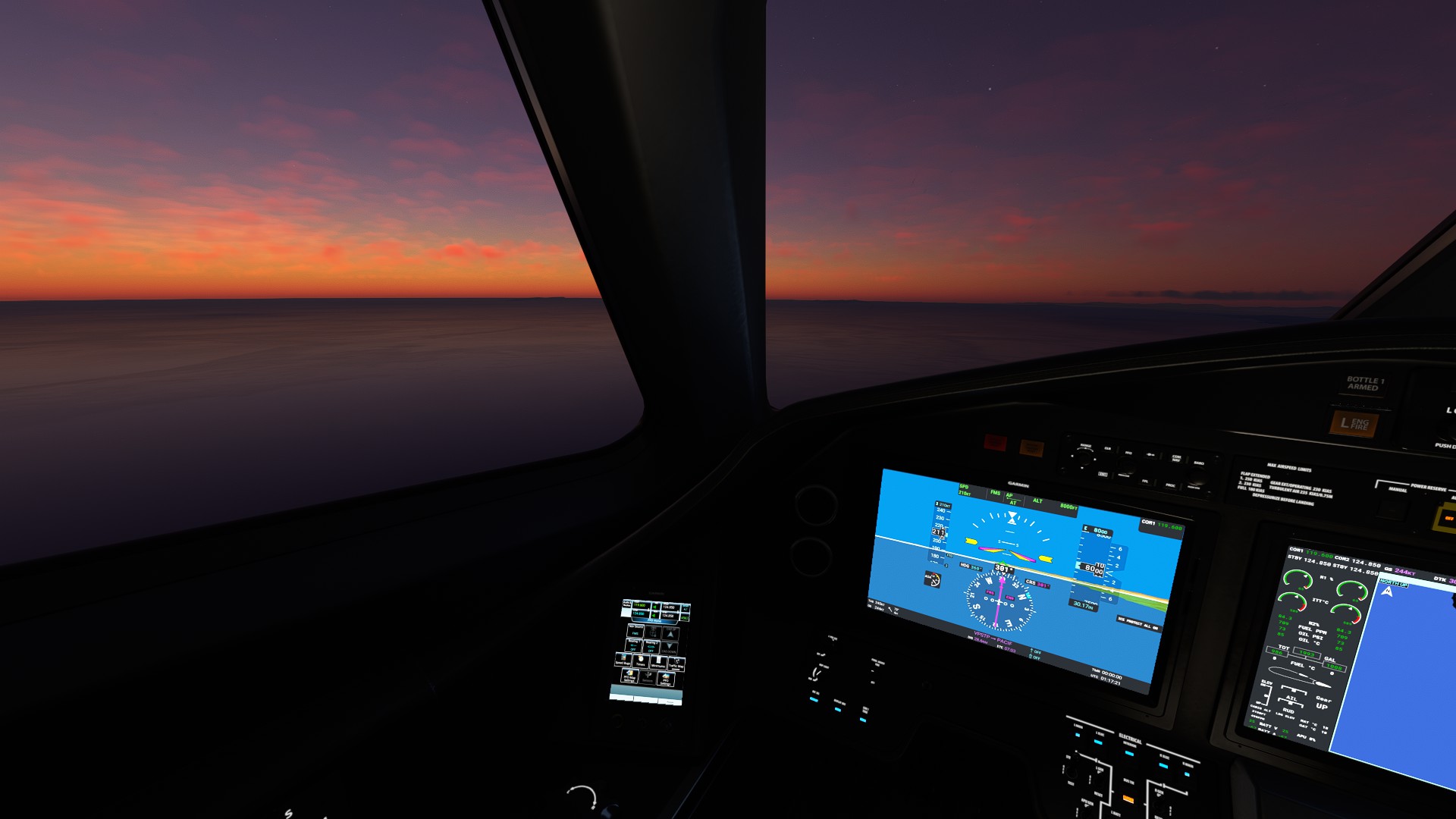
Reposition Flight KSAN to KLAX using the C700. I haven’t flown the Longitude in a while, some things came back to me while others didn’t.
Coolest part: Holding short for an inbound Southwest at Runway 27.
Watching the sunset over the Pacific shore as I flew North was relaxing as anything.


3 Likes
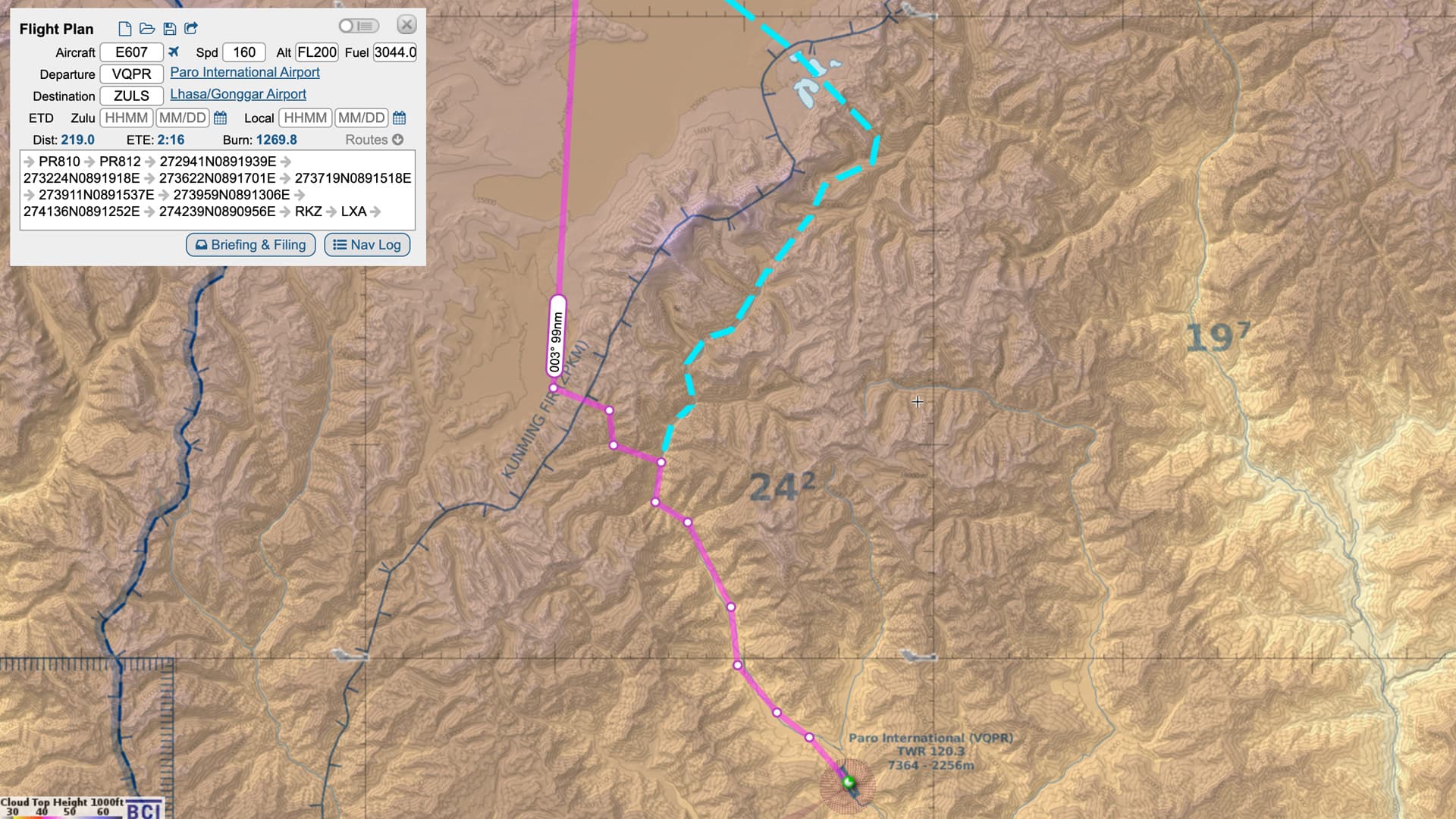
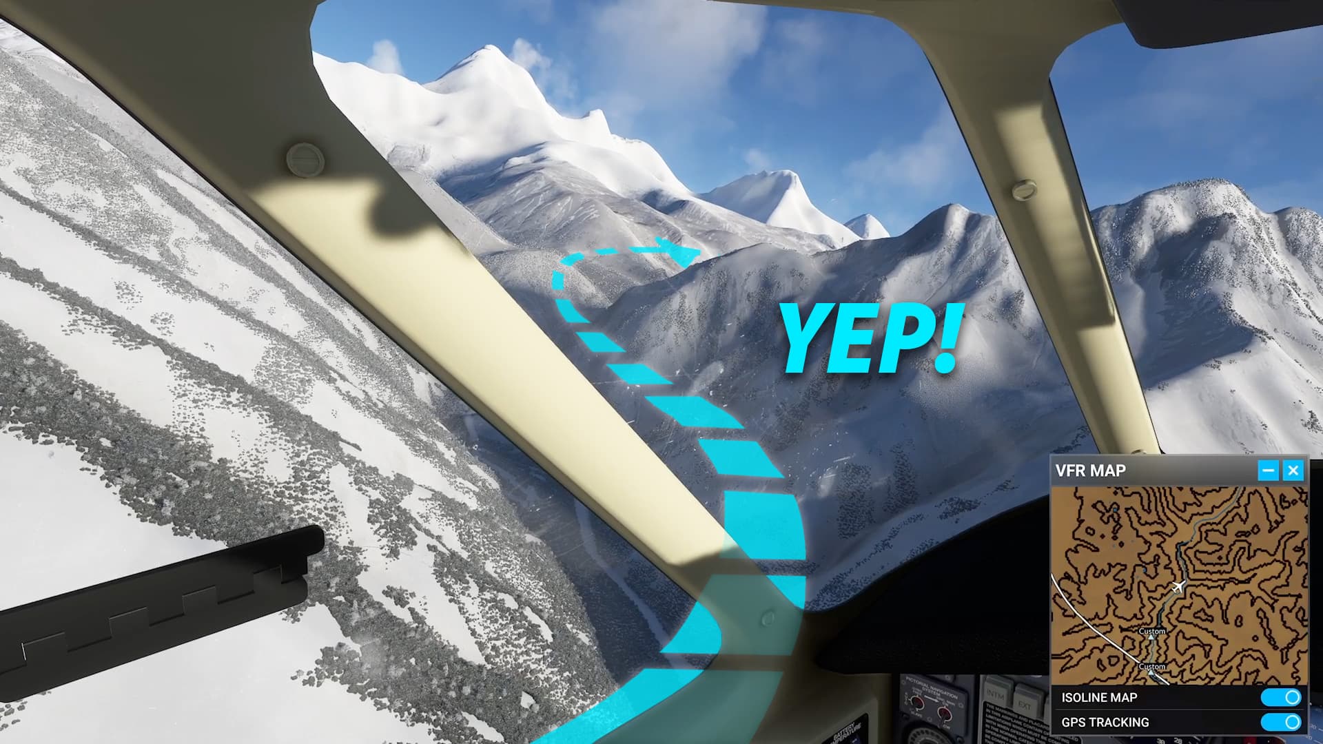
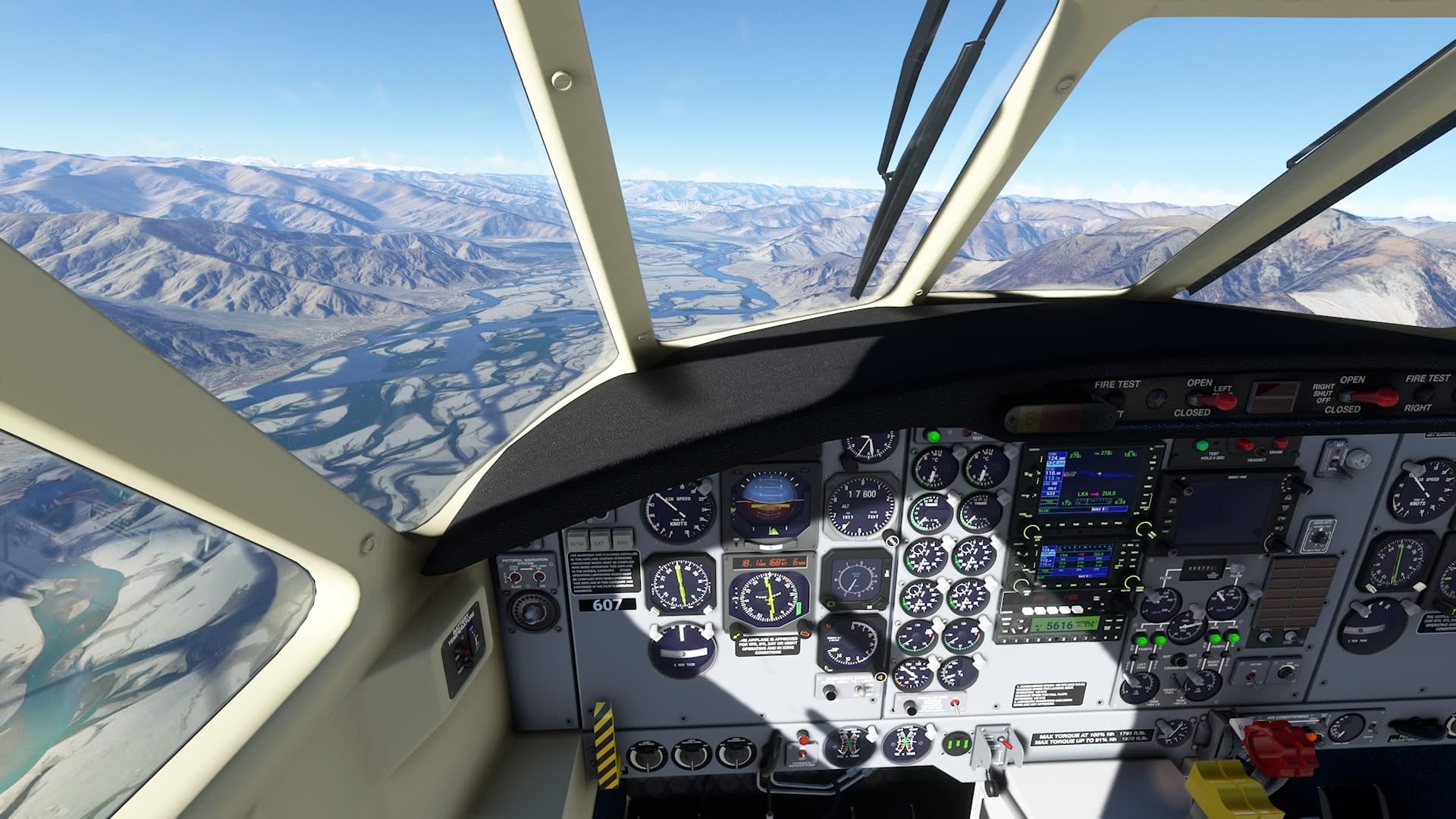
Today I made a live weather run with the EMB-110P1K Freighter from Paro International Airport/VQPR northward, up the Paro Chu Valley for a VFR ascent past the Himalayan crest and onto the Tibetan Plateau. From there my destination was Lhasa/Gonggar Airport/ZULS in Tibet, about 39 miles southwest of the Tibetan capital, Lhasa. At 11,711 ft elevation, the airport is one of the highest and the 13,123 foot long runway speaks to the thin air takeoff requirements at that altitude. With the EMB-110’s service ceiling of 21,000 feet, there is just no way to make an IFR victor or jetway crossing of that range. I’d need VFR conditions to thread through the passes within that ceiling. And just, wow, what a fun, interesting, and intermittently nerve wracking flight it was.
I worked out a couple routes northward along the Paro Chu valley using contour maps with my primary option to summit the divide near the town of Pagri Tibet and south of 24,035 foot peak of Jomolhari. With the lowest passes from 15,000-16,000 I’d need to gain at least 10-11,000 feet after departing Paro.
Paro was a misty place as I took off, but conditions rapidly cleared as I ascended
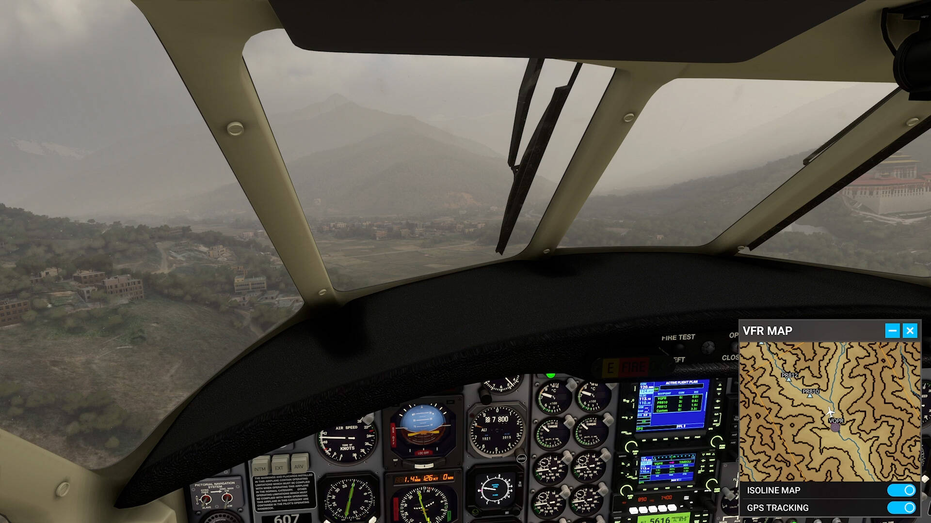

By the time I was at the decision point for my first summiting route, I was still a couple thousand feet too low to break left and go for it.
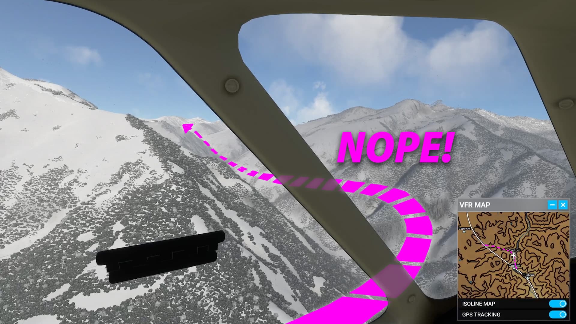
So I went with my plan B and navigated the branching valleys along the Paro Chu further north to bide my time gaining altitude.
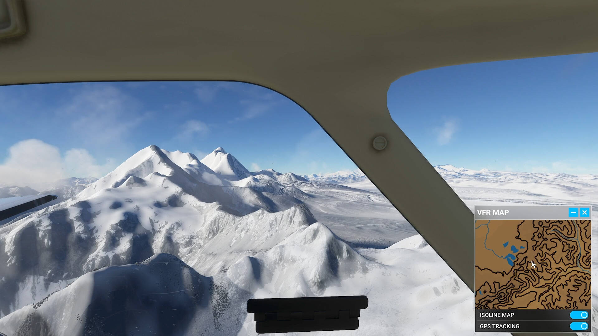
After skirting the ridges branching off the 22,000 foot peaks of Jichu Drake, I finally had the elevation needed to crest the snow and glacier capped terrain and made my way across east of Duinaxiang.

What a ride! Hand flying the ascent and breathing down the neck of my ASI and VSI made fighting with the autopilot afterward seem easy peasy. Besides some vertical speed disgruntlement, the Garmin did not like the fact that I had deviated so far from my original route. I made sure to get myself lined right back up on the next leg, but even then, it wouldn’t for the life of me let me activate it. So I cleared the whole flight plan out and just recreated what was left while cruising over the barren terrain.
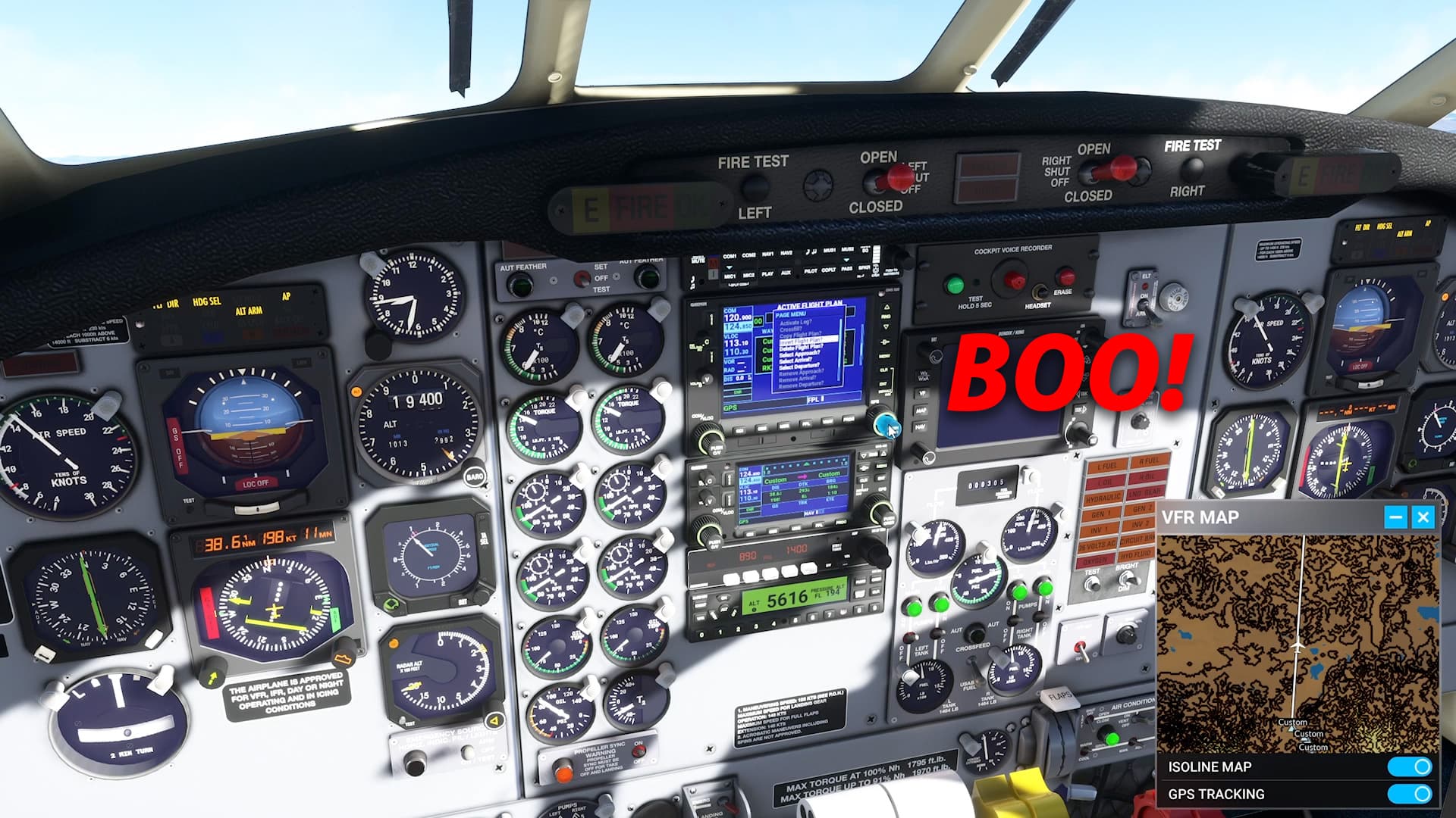
Once that was working, there were some calm moments where I had a chance to test out instrument values while adjusting prop rpm and fuel condition. I’ve struggled to notice effects before, but being a bit more focused, I could now notice differences with fuel consumption, torque and Nh/Ng when adjusting fuel condition. Between lo and hi idle, fuel consumption varies by 15-20 gph, torque about 750 ft-lb, and Nh/Ng by about 1%. Prop adjustments only impact audio.
Along the way, I decided to test out the integrity of my new flight plan a bit by jumping between modes, following the valleys in HDG mode at times and then getting back on NAV when the RKZ-LXA route wasn’t running across higher terrain.

Although flying VFR, I wanted to land with the ILS DME RWY 27R approach. This relies on an outbound 107° radial from the LXA VOR to 20 DME, then a left turn to intercept the ISS localizer inbound at 269°. Over the VOR, I switched from GPS to VLOC too soon and got the plane into a sidewinder mode as it worked to chase down the swinging CDI.
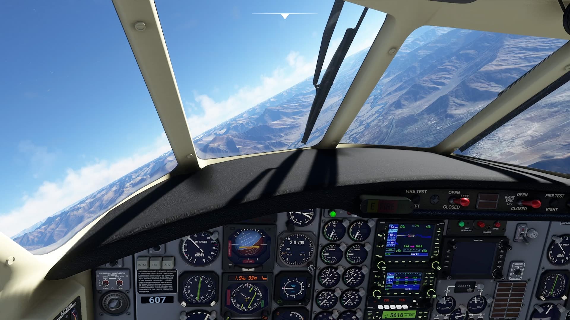
I haven’t yet figured out how to get the Garmin/autopilot to allow me switch tracking from the primary to secondary nav source — if that’s even possible. So once the VOR course was stabilized, I lined up & switched to HDG mode while I dialed in the localizer heading. Then switched back to the misaligned VOR to watch for the 20 nm DME while still in HDG mode. I need to work out a more precise & acceptable way of doing that.
The braided tendrils of the Yarlung Zangbo Jiang are a fascinating sight winding through that denuded landscape.
Approach mode captured the localizer and glideslope beautifully, and all I had to do was manage power/speed on the way down.
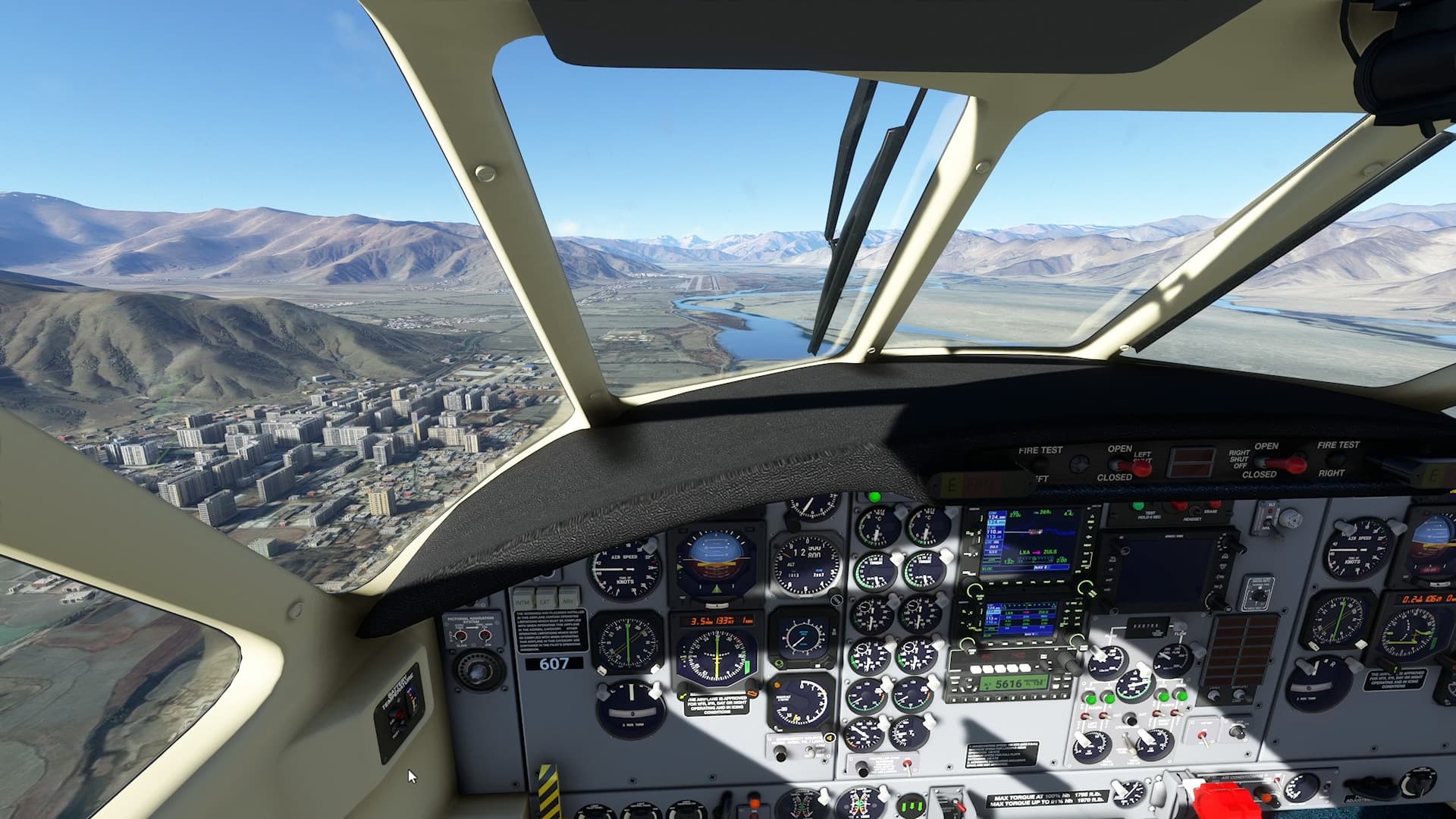
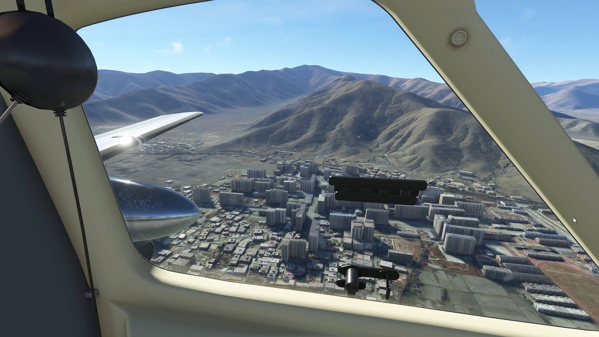
Only bummer about that clear vision window is the huge hinge in the middle of everything. But looks like apartment living at its finest down there.
A little realignment after shutting off autopilot and landing was as smooth and leisurely as could be on this high altitude runway to infinity.
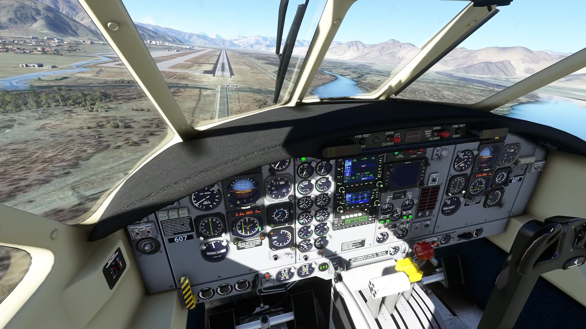
And there it is, Lhasa/Gonggar Airport in all its thin air glory. What an awesome flight and extremely cool area that I knew next to nothing about until today.

10 Likes
I flew from Charles De Gaulle, France, to Humberto Delgado, Portugal, in the A320neo. I encountered another broken arrival/approach but did much better landing the plane manually today. Live weather was a hot mess again, with the somewhat unexpected high temperatures near cruising altitude.

IFR EGGW-EGPB
Welcome to Shetland Islands!
2nd flight of my ongoing “around the world in the TBM930” adventure. Started EDFM-EGGW yesterday. Next stop Reykjavik ![]()
2 Likes


Another navigation-by-the-stars flight using the Sextant add-on and the advanced Landfall procedure. Taking the DC-6 from Kieta to Howland. can confirm - Howland is still there.
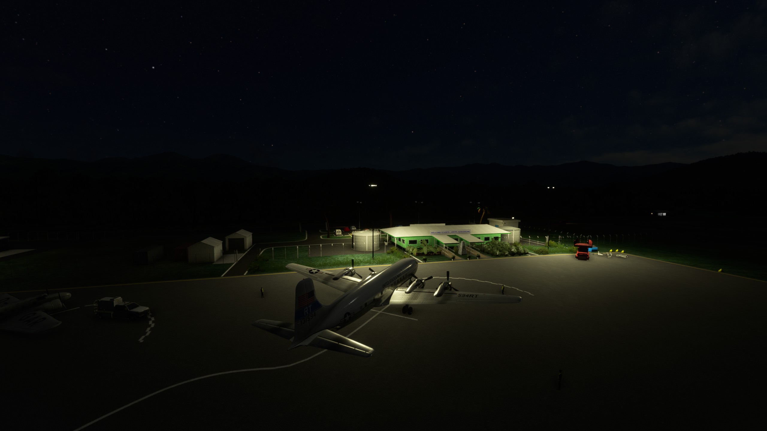
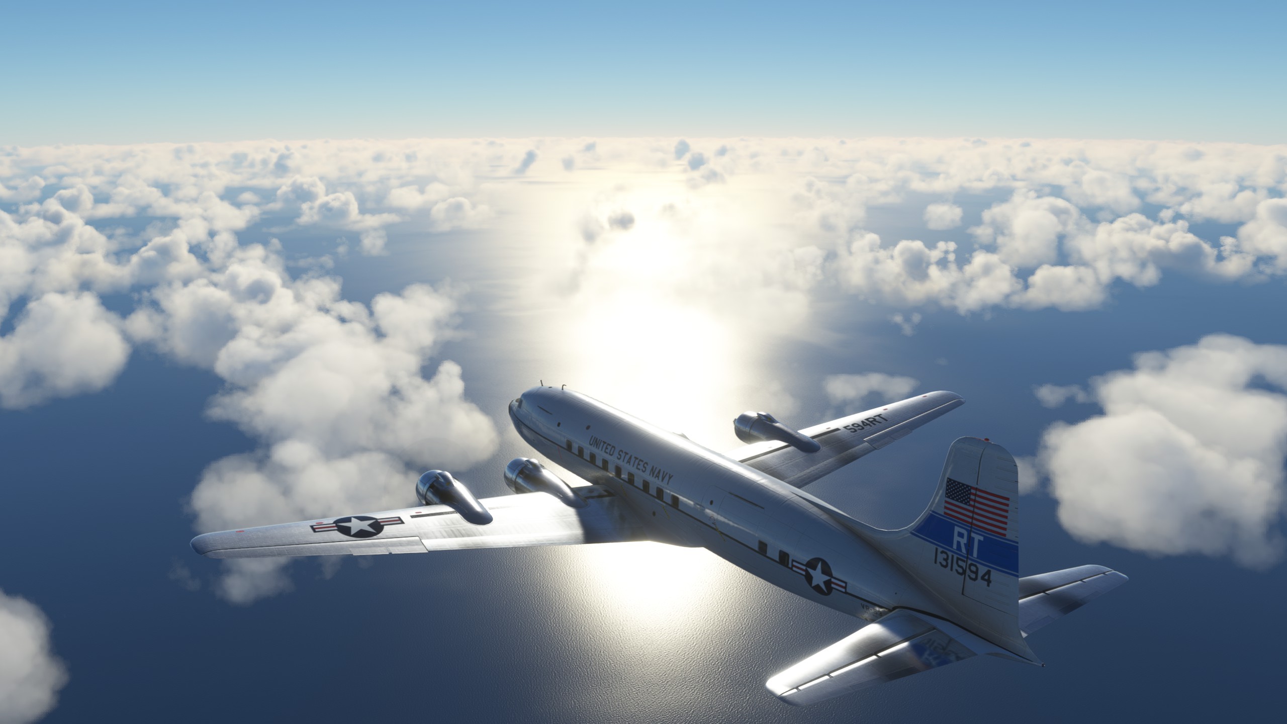


6 Likes
Wow the Cloudmaster is bigger than the whole airport terminal. Oh and to be honest… playing FF VII and checking two times a day in this forum to see if the PMDG 737 is already released. ![]()
I’m about 45% of covering all photogrammetry cities(in USA) in detail. Currently I’m in Indiana.
I have flown over hundreds of cities thus far, and every city I fly over, I first research the city. This includes looking for attractions such as amusement parks, water parks, race tracks, high schools/universities, miniature golf courses, go-kart tracks, swimming pools, etc…
I also read every cities’ wikipedia page.
Now I don’t update this thread with every video I make, as I’ve literally made over 1300 of these city fly over videos, but the reason I am talking about this city, was b/c of the wikipedia info it had.
This small Indiana city of approximately 60k population(as of 2020), has stories on it’s wikipedia page that no city I’ve researched has had. I talk about these stories during the fly over. I do not express an opinion, just facts. I believe the only opinion I state is that the department store “Kohls” are usually easy to spot in the sim. That’s my lone opinion, everything else I stated was from the cities wiki page.
When you learn about the cities, and then fly over them, you really get a feel for the city.
5 Likes