I did the most challenging and the most dangerous leg of my trip around Pacific in DC-3 in real time and weather. I didn’t get Russian visa, so I had to reach USA (Aleutian) from the coast of Japan. RCJK ![]() PAAT with distance 1293 nm. I started preparation already a week ago and calculated it few times. First calculation was that it was not possible. Then I added some risk like no alternate, no deviation from course and good wind. And it seemed to be possible. Also last week the wind was very good for the route, but lot of clouds that would cause icing condition and also no VMC in the destination. And I required VMC in the destination, because PAAT has no IFR procedures. Anyway, I can do such long flight only on weekend.
PAAT with distance 1293 nm. I started preparation already a week ago and calculated it few times. First calculation was that it was not possible. Then I added some risk like no alternate, no deviation from course and good wind. And it seemed to be possible. Also last week the wind was very good for the route, but lot of clouds that would cause icing condition and also no VMC in the destination. And I required VMC in the destination, because PAAT has no IFR procedures. Anyway, I can do such long flight only on weekend.
So I checked weather this weekend and there were positives and negatives. No clouds around Aleutian, but I very little tailwind and I would have to fight crosswind that also costs fuel. Also IMC at departure, but there was easy IFR departure procedure using VOR from RJCK.
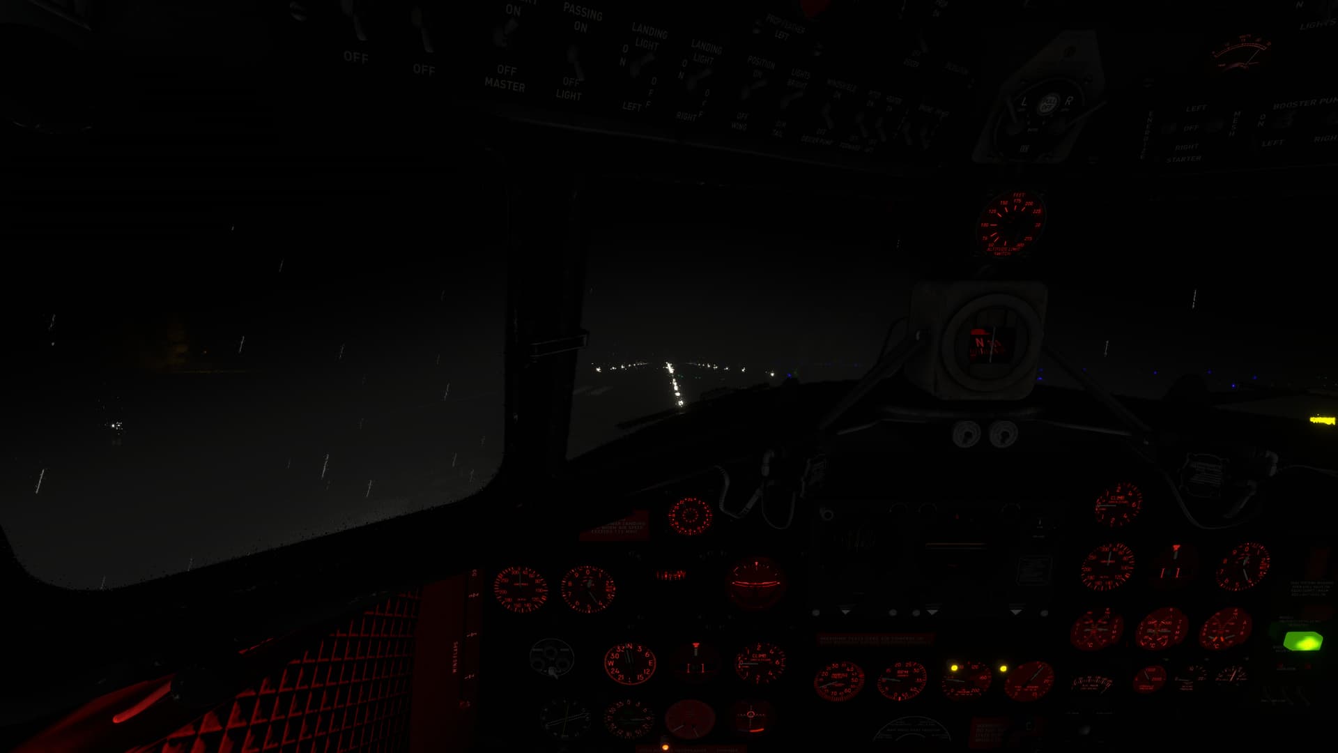
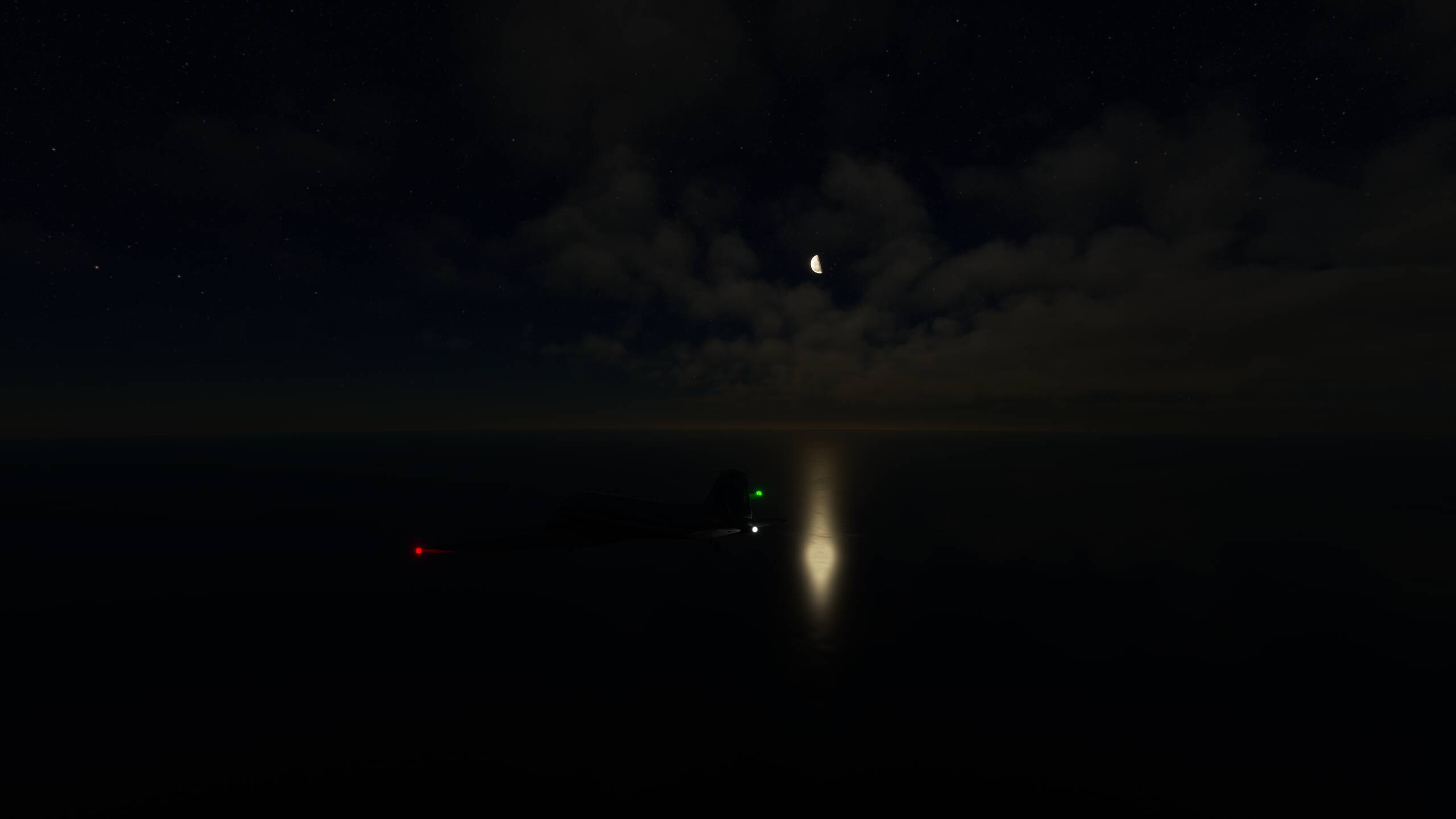
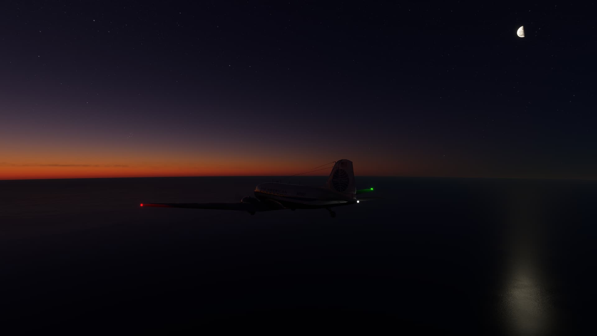
And now the flight. Start was not very successful. I am not really used to flying IFR without seeing horizon. Also I made typical mistake focusing on single instrument trying to turn to VOR. And I noticed quite late that I was not climbing. Well, I recovered but it took me some time to stabilize. Also probably because of lot of fuel the CG was more forward than I was used to. I reached VOR and established my course. Later on I got out of clouds, but there was still not much to see, except nice night sky full of stars.
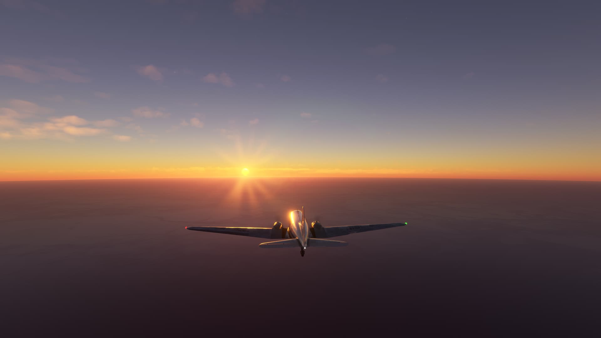
Navigation strategy: I don’t know how to do celestial navigation and most of the flight is over the ocean without any navigation aids. So I relied on dead-reckoning. In Little NavMap I created checkpoints every 100 nm. Then Little NavMap calculated for me bearing at every checkpoint. Both true and magnetic. It would be quite some work to calculate it manually. During flight at every checkpoint (every 32 minutes) I checked deviation in MSFS VFR map. I consider that as 3-rd party GPS. Although, I don’t know, how many satellites are available there. Anyway, I could check first 3 checkpoints using nearby VORs and visual clues. I had very little deviation. And sight was spectacular. Moonrise at first and then followed by sunrise.
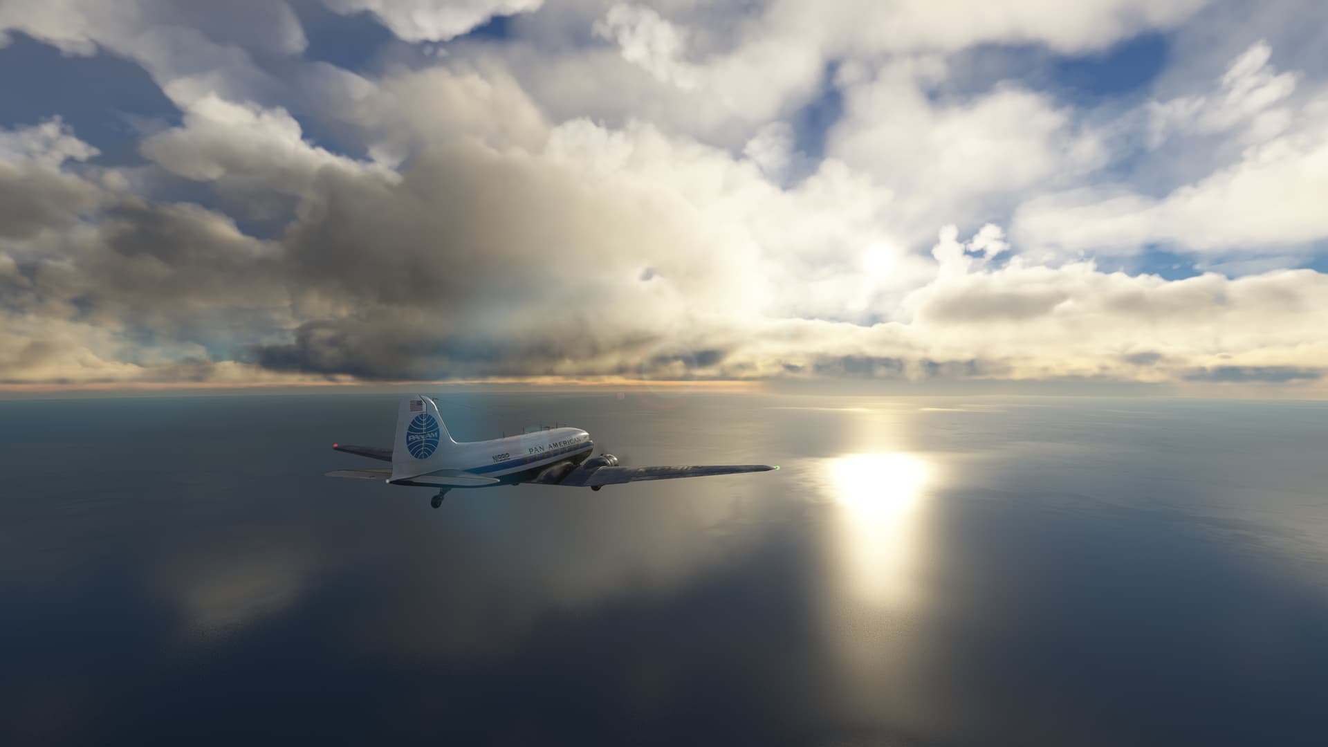
But then the odds started to play against me. I had to avoid clouds that started to cause icing. I had to descend to 9000ft and then 7000ft and even go around bigger cloud formation. That was deviation I couldn’t afford. As I was getting closer to my destination I could see more and more I couldn’t make it. I was out of fuel about 50nm from the destination. I could see the lonely island so close and yet so far. Well, I swallowed my pride and I refueled 40 gallons in the air. That was just enough to get me safely to the airport.
As I said the departure was not very successful and there was also another mistake. I should depart from another airport in Japan that is 40nm north (RJCN). I chose RJCK because that was star airport in MSFS. If I would depart from the other airport and wouldn’t need to avoid clouds, I would make it. On the good side, I was surprised how accurate the dead-reckoning was. And my first calculation was correct, the flight was not possible.
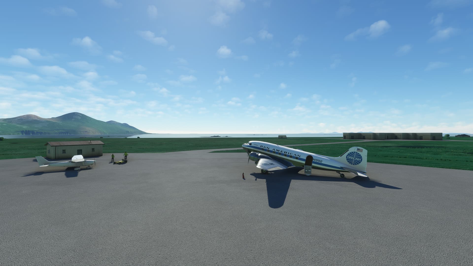
Total flight time: 7h32m