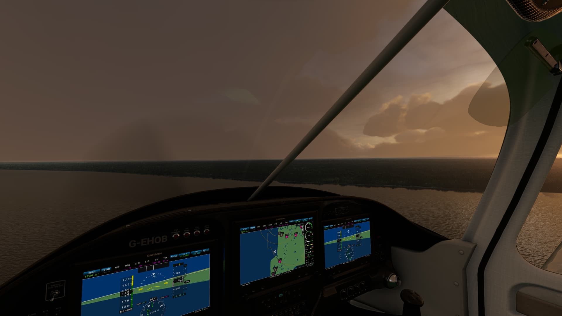
Took the SWS Vans RV10 on a flight across parts of Southern Alaska, trying out the new Navigraph sectional charts. Took off from Seward PAWD, along the coast till I spotted an interesting glaciar, and followed it West, then cut North West towards a lake.
On my way across Tustumena Lake, I was even able to make out the cabins the charts said would be there. ![]()

Copyright © 2023 Navigraph / Jeppesen
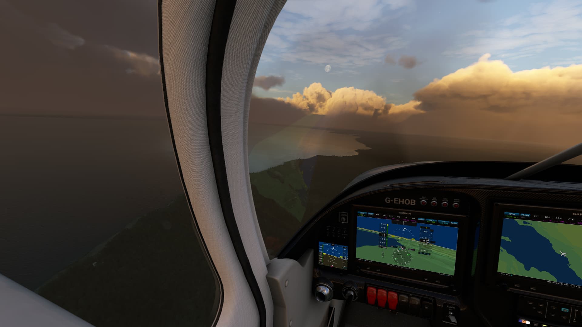
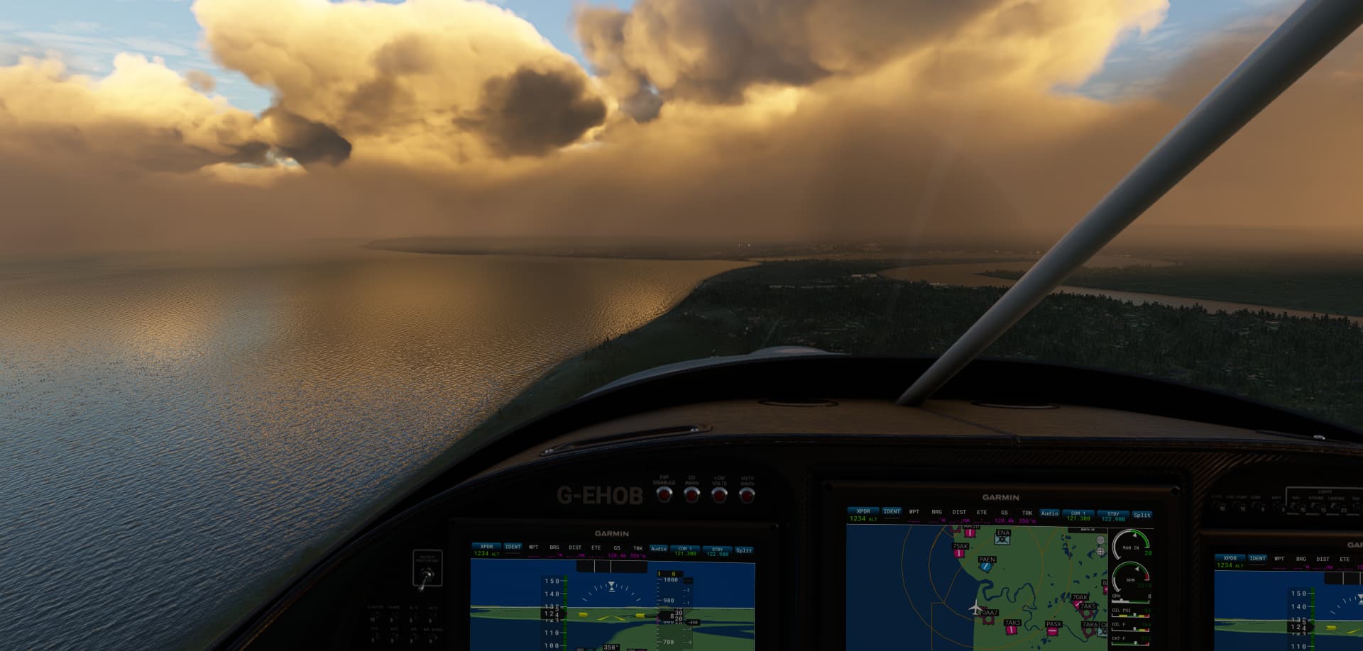
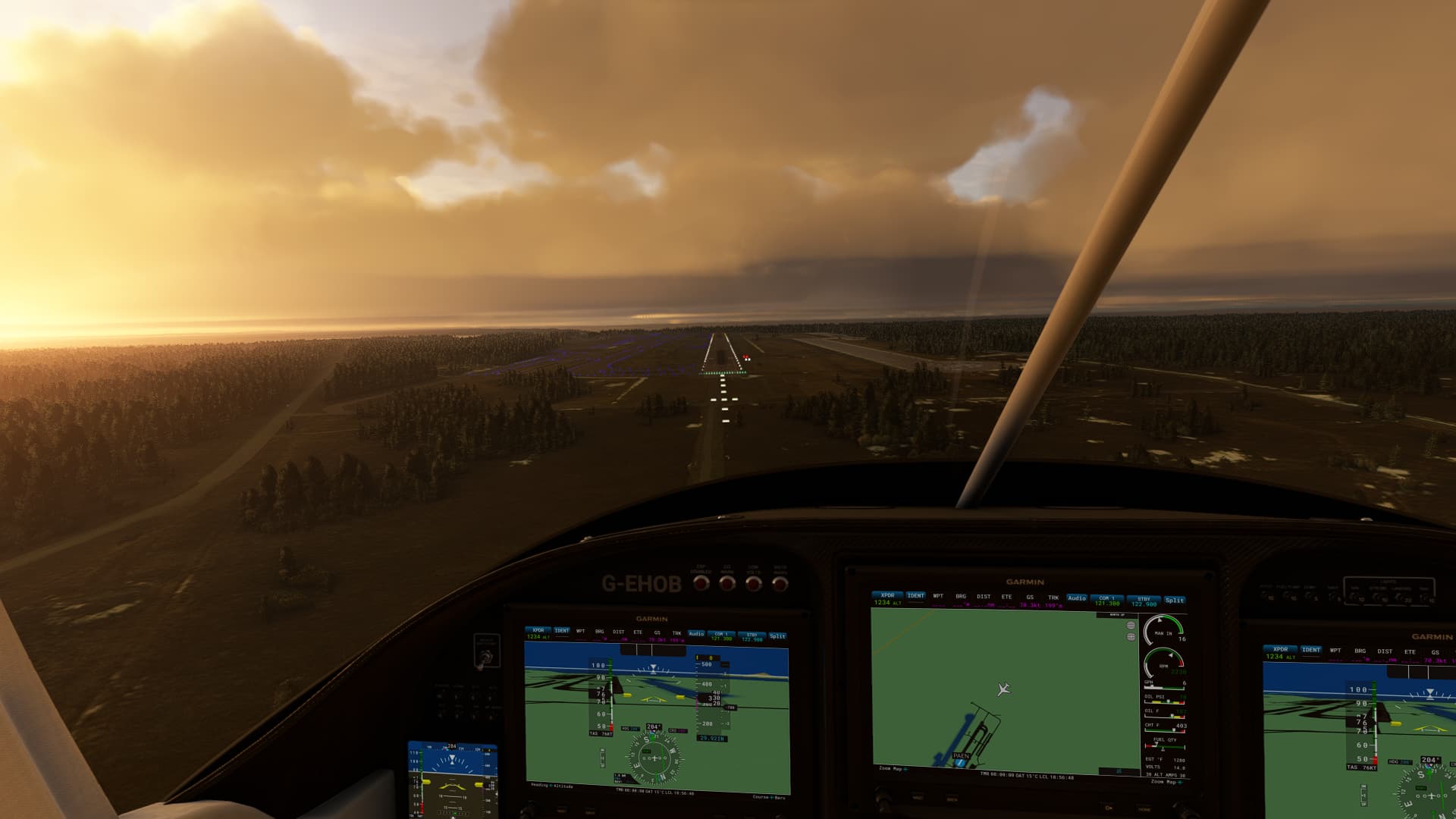
Hugged the Easterm coast of the lake while continuing to head North West, to arrive at Kenai Municipal PAEN.