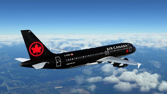
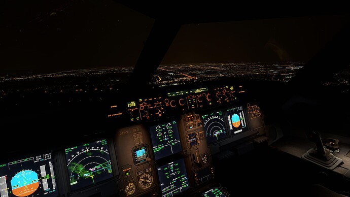
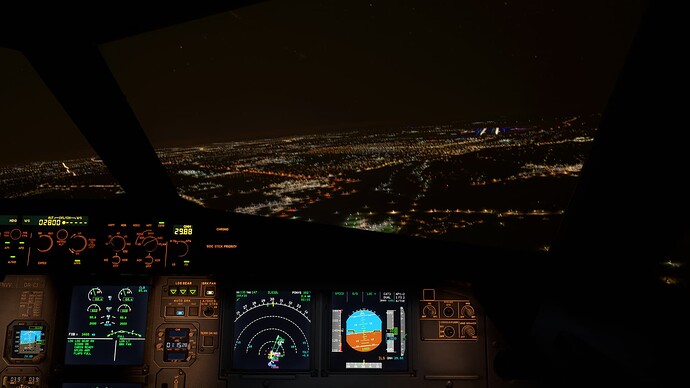
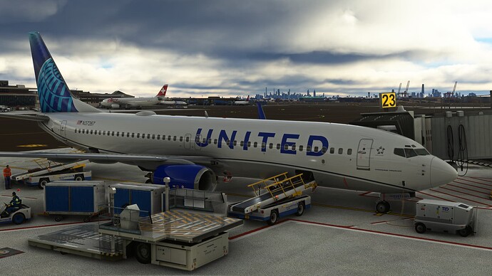
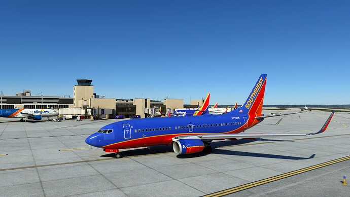
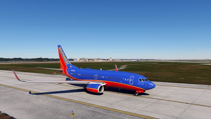
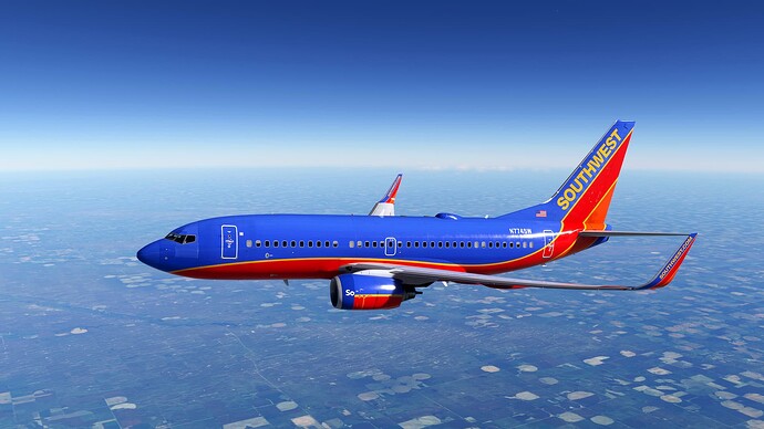
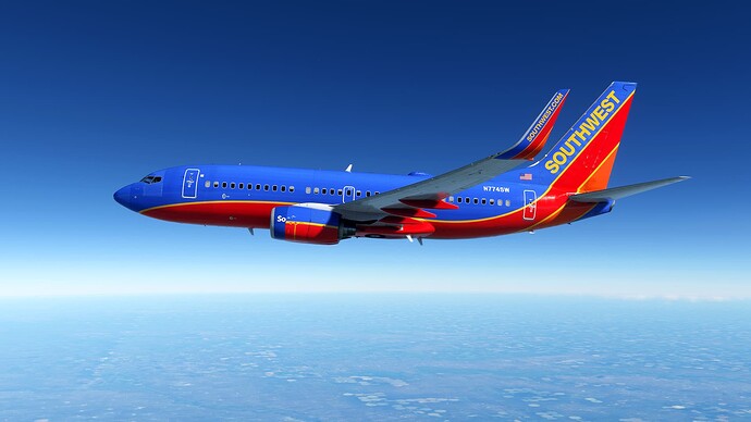
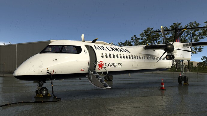
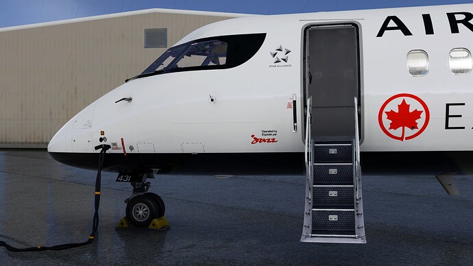
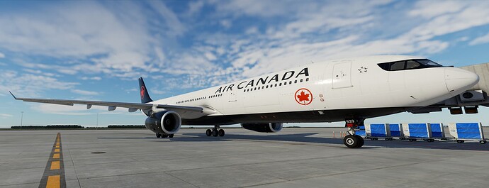
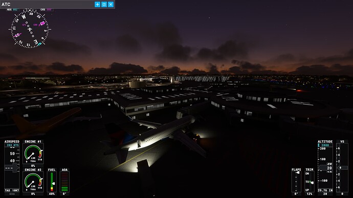
KIAH-KEWR
UAL1657
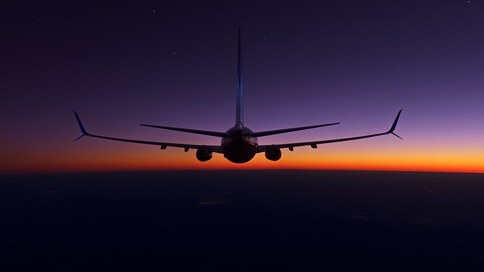
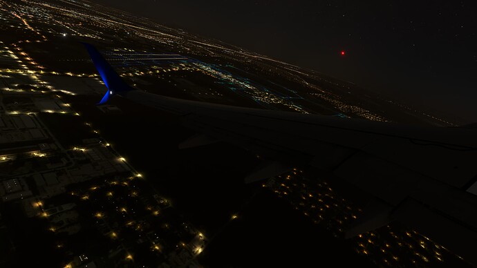
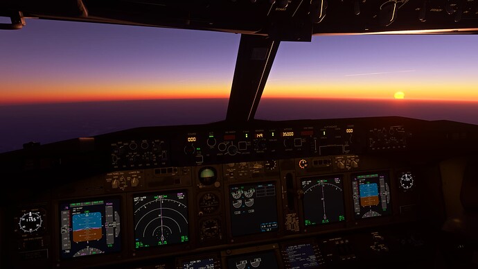
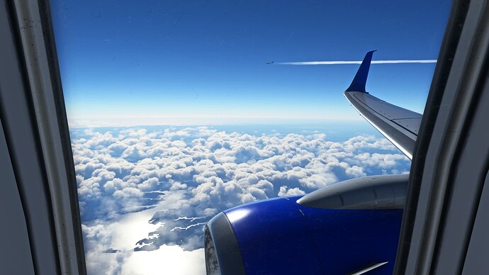
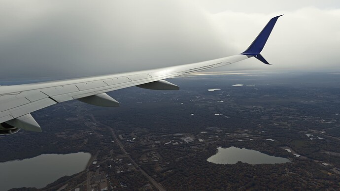
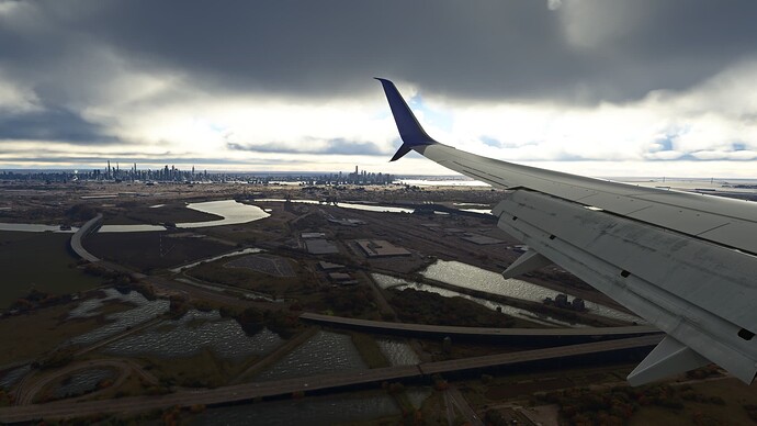
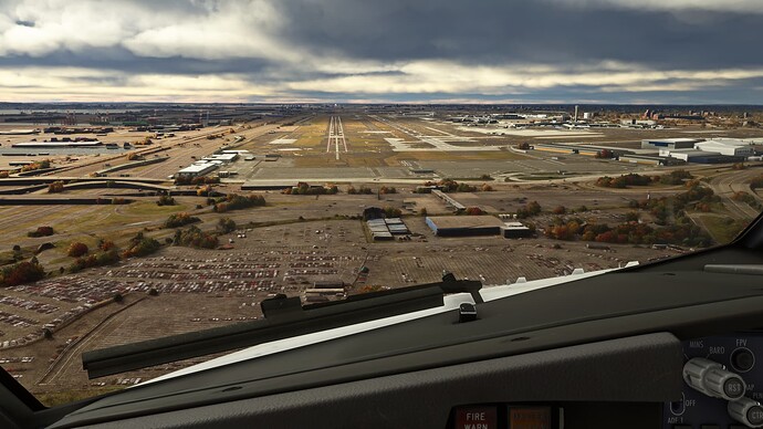
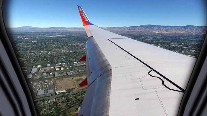
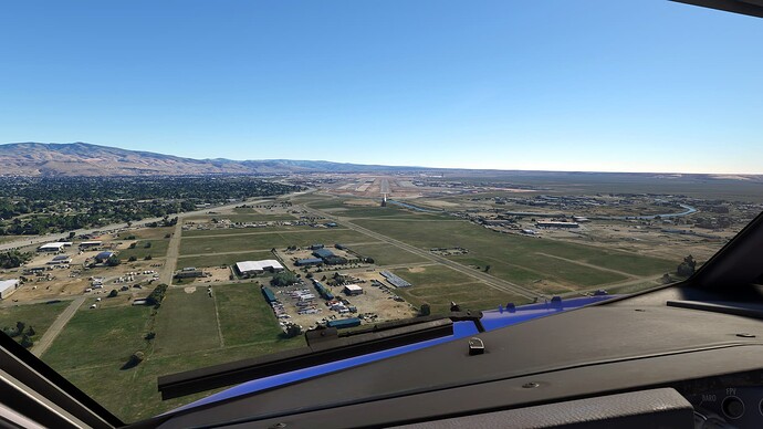
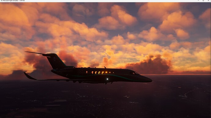
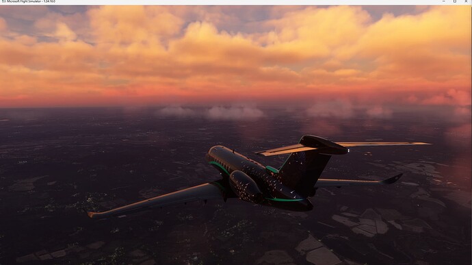
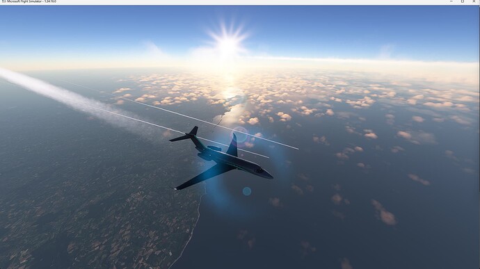
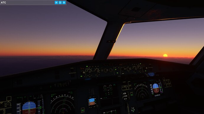
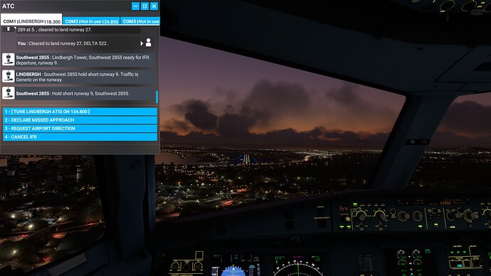
It was back home this morning. Night flying, clear weather, beautiful sunrise, moderate turbulence at cruise, busy skies, cloudy and windy conditions on approach, 20kts and gusty on landing…this flight had a lot of variety.
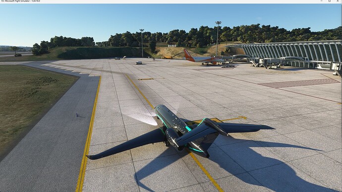
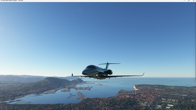
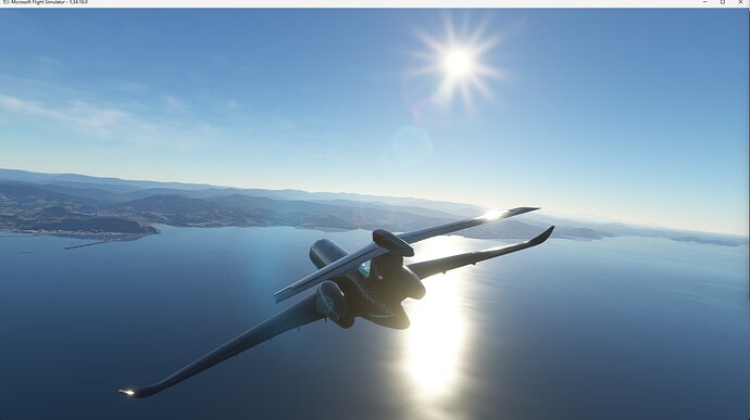
Each day, I’ve been flying around the Canadian high arctic (Alert CYLT, Eureka CYEU, etc.), with some landings at Qaanaaq, Greenland (BGQQ) in an Orbx BW635RG. The base MSFS has only a couple of airports in this zone, with distances that make it difficult in the BW635RG which has only a 500 nm range. Thankfully, the many skilled contributors at FlightSim.to have stepped up to fill in the gaps.
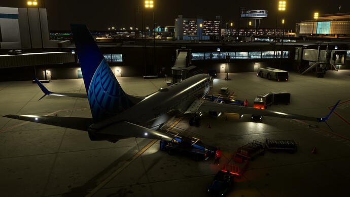
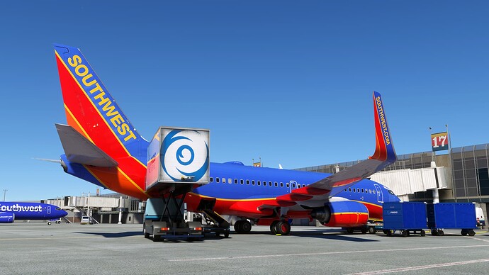
Was a while ago since I flew for the virtual airline. Was fun to do again. Hopefully the FSD GSX update fixes the pink push back trucks. Haha. (Updating now)
-Bram
SkyLane
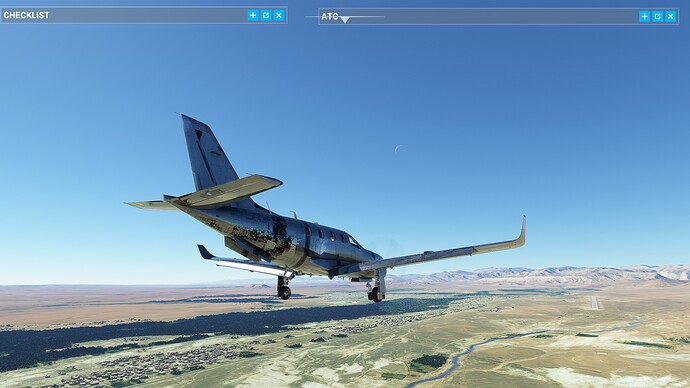
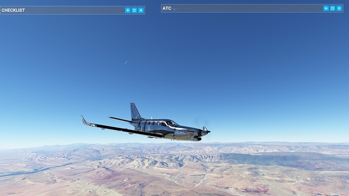
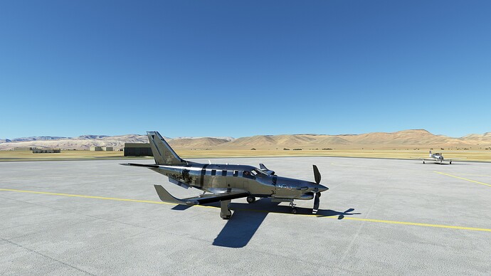
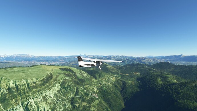
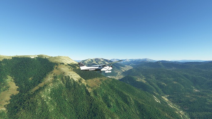
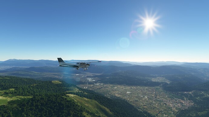
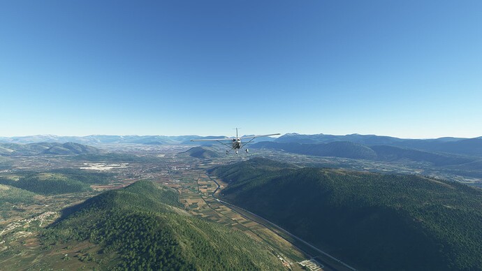
Another IFR through Morocco with the TBM 930, from GMMZ (Quarzazate) to GMFK (Errachidia). On my way to Greece.
This time a 167 nm hop.
Once more quite uneventful. But I never figure out how to make the A/P fly the first leg of my flight plan without putting a Direct To the first waypoint. No big deal, but I am probably missing something there.
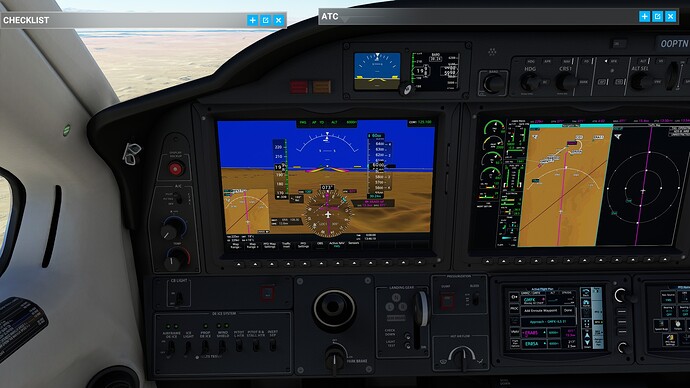
I really have liked the interaction with the Flight Plan, ATC and the provided approaches.
Pictures
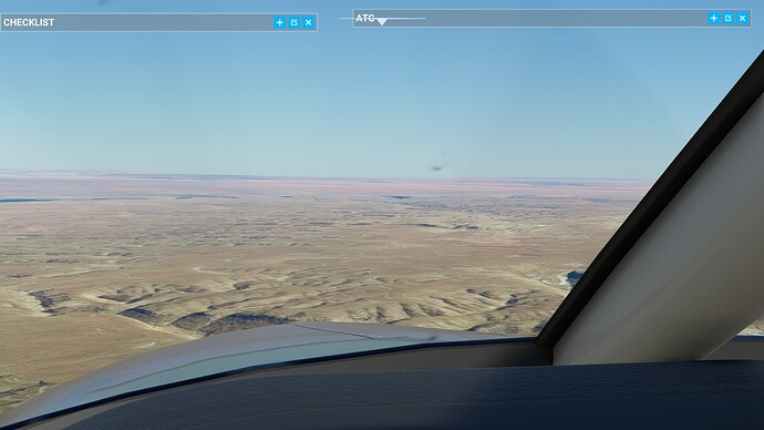
This smudge on my windscreen. I was trying to clean my laptop screen before I realised it’s on the window
Doing IFR, I guess I don’t HAVE to look outside (yes I know I have to). Not used to being face down in the instruments.
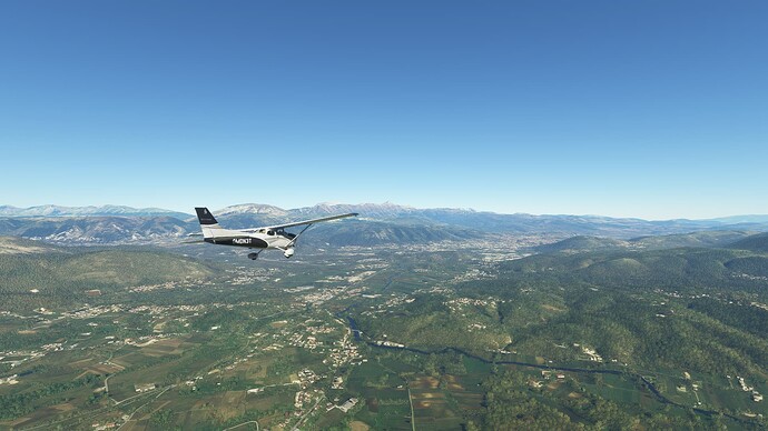
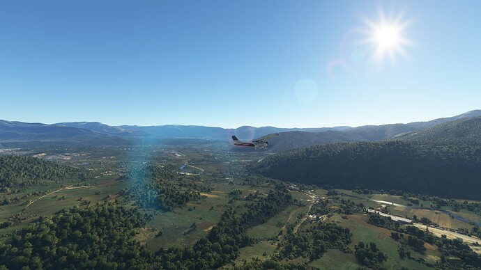
Another smooth flight from A to B, edging ever closer to Greece.
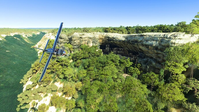
Wow, the ruins have got so good now. Just the sim or a mod?
That’s the sim one! I forget if it’s from original or came in in one of the WUs ![]()
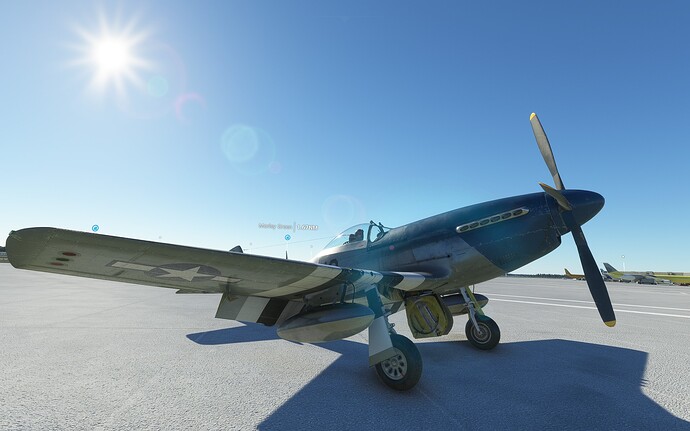
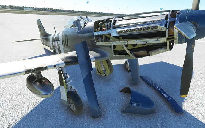
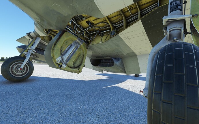
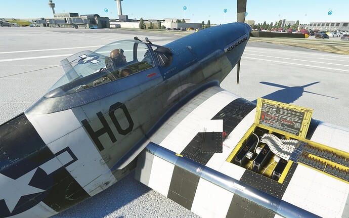
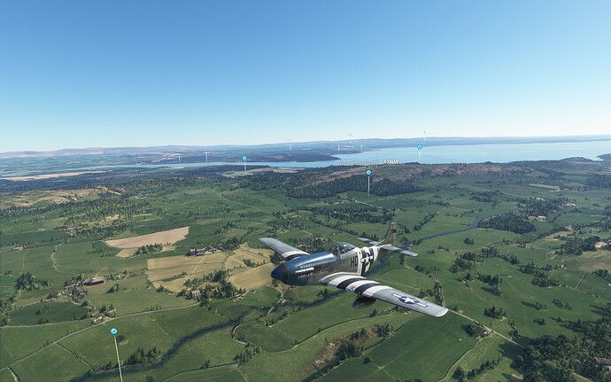
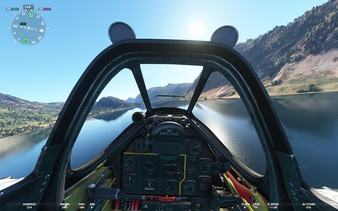
Spent the last 5 days flying Aeroplane Heaven P51-D Mustang, with the ‘Alternate flight model’ from flightsim.to. This really is a nice plane to fly.
It’s been around a little under 2 years now, so I didn’t expect the same depth as the Comanche. However, the flight model and detail are really nice.
First 2 take offs were a very quick 90 degree turn and into the bushes, despite having dialled in the appropriate rudder trim. So this was when the mustang became ‘study level’ - ie., I studied every page of the manual and watched YouTube clips. Eventually it clicked. Hold the stick back fully to lock the tail wheel and plant it firmly into the ground and the mustang floats off at about 90mph. Put the stick back into neutral very quickly to avoid ‘nose up’ and stall.
Landing was another barrel of laughs, until the tears of frustration stream down your cheeks. But, eventually, similar to take off. Speed between 120 and 130mph, 3 point landing, pull fully back on the stick on touchdown to lock the tail wheel and hold it down and brake immediately.
Main problem with landing is you can’t see anything in front of you (runway) due to the long nose, so I keep dipping the nose (not ideal) and making corrections for course.
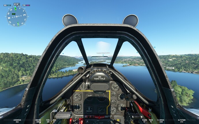
Flew around the Lake District and Mach Loop - great aircraft for the loop, speed perfect for learning it, manoeuvrable and great visibility with bubble cockpit.
Huge amount easier to fly than take off and land.
Probably overpriced today in comparison with the other warbirds, but in a sale….maybe.
(love the ‘teddy bear ears’ over the cockpit).
Mustang rolls ok, but very disappointingly, i cant get it to loop. Probably 6/10 ; start learning the Hellcat tomorrow…expecting more.
